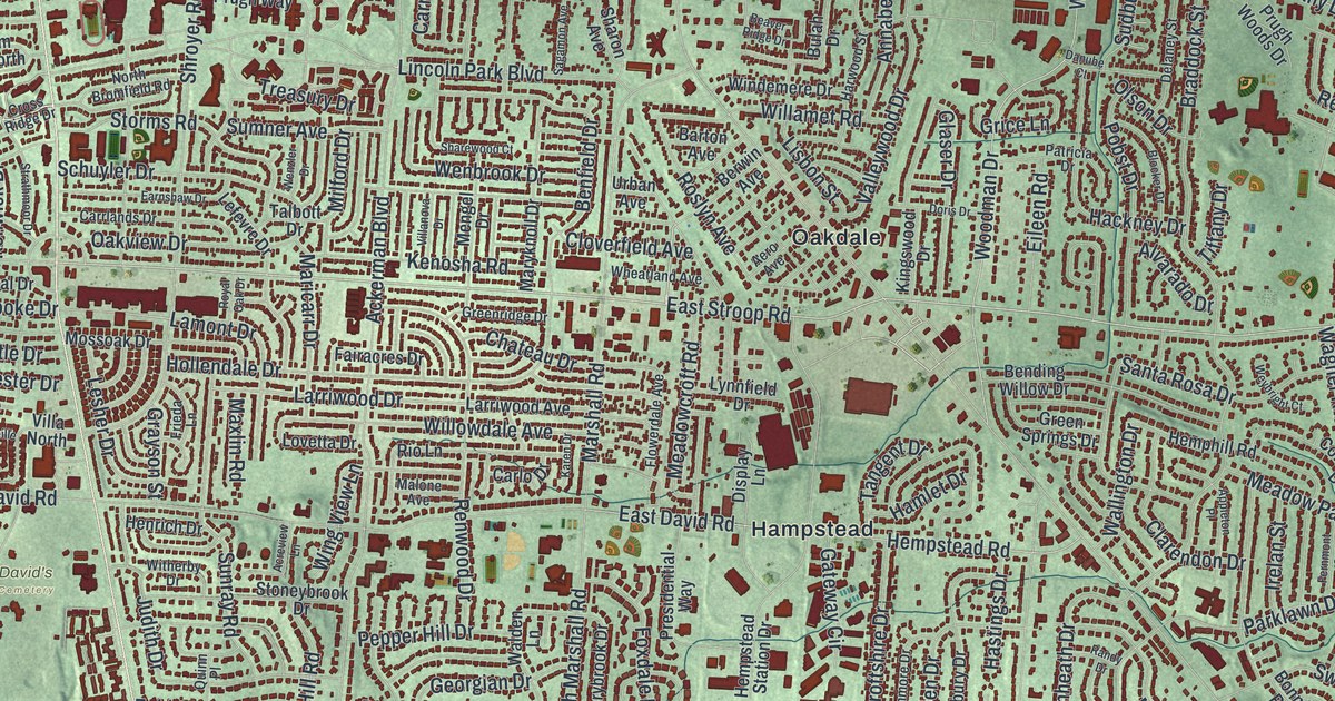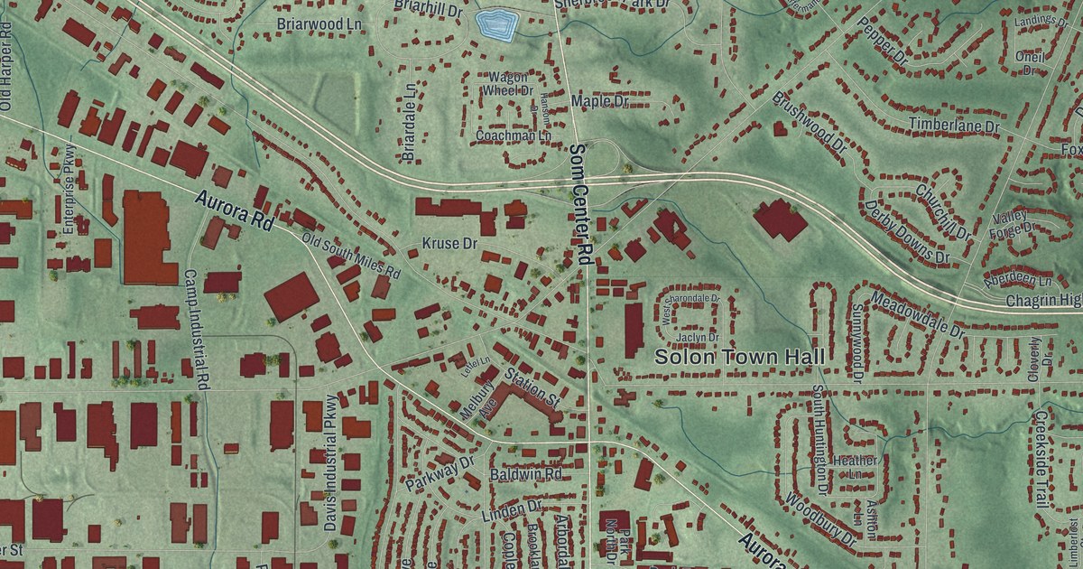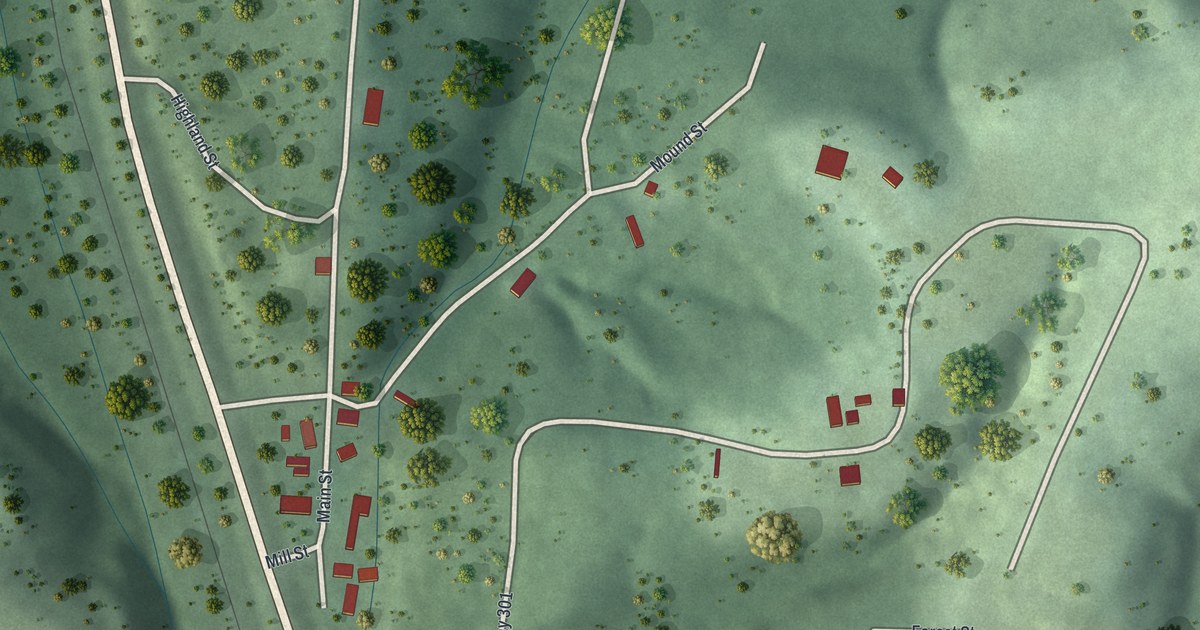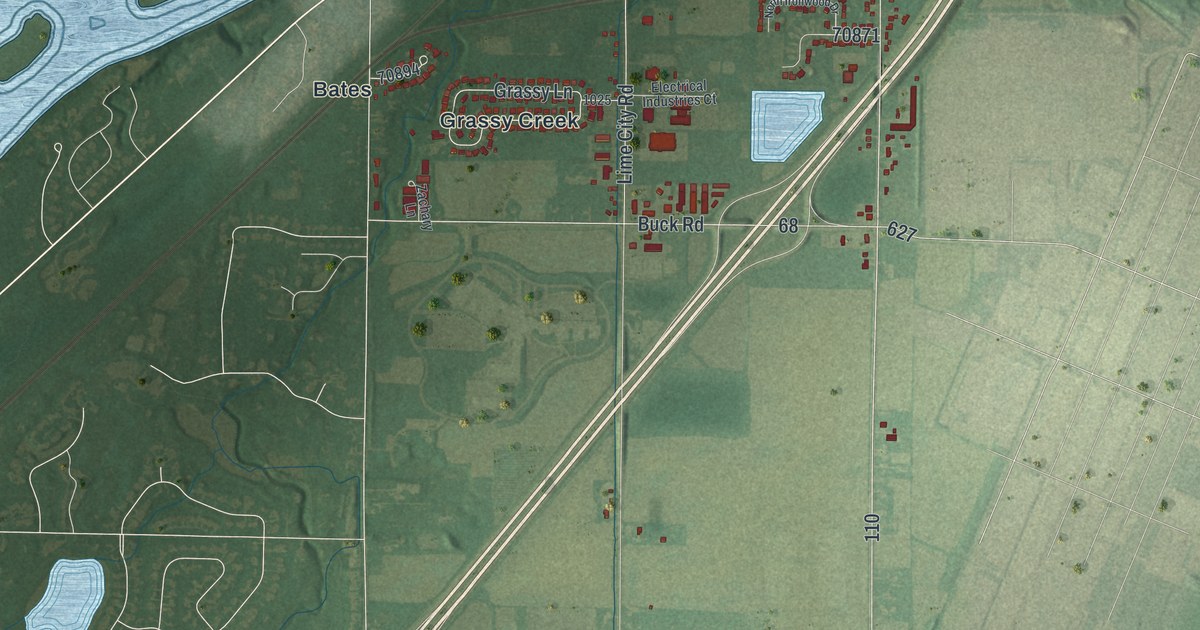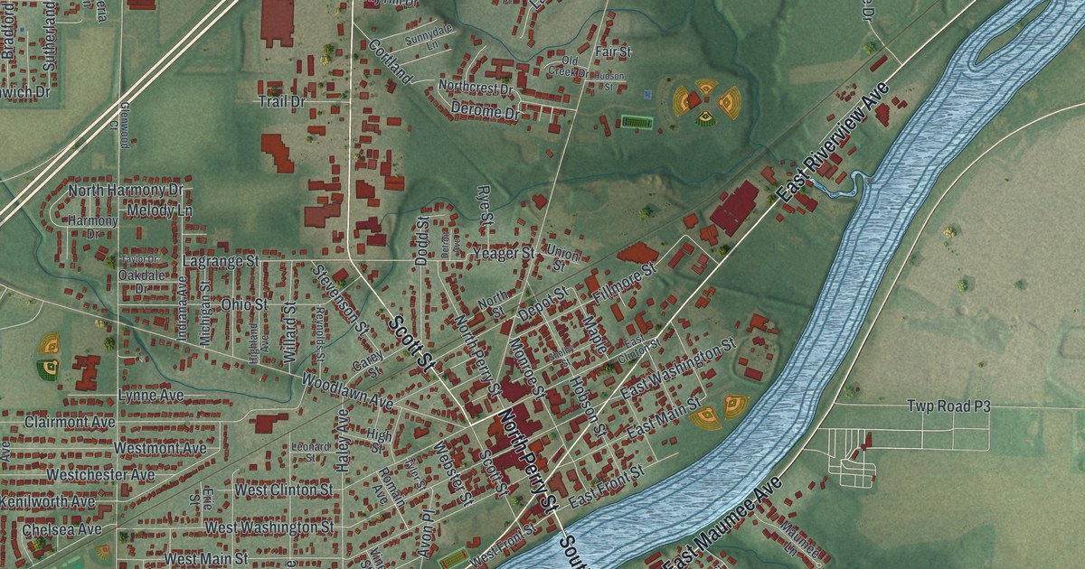
If you grew up in Napoleon, or you still have family near the Henry County Courthouse, this map is for you. It's a new aerial view of Napoleon, the county seat of Henry County, Ohio, made from modern data and given a vintage look. A wide blue river bends across the middle of the sheet. Red rooftops crowd both banks, and soft green farm fields spread out on every side.
How the Miami and Erie Canal Built Napoleon
On this map you'll find North Perry Street, South Perry Street, East Riverview Avenue, West Riverview Avenue, East Washington Street, West Washington Street, East Clinton Street, West Main Street, Scott Street, Glenwood Avenue, East Maumee Avenue, Oakwood Avenue, Woodlawn Avenue, Depot Street, and more. Each red shape is a building, so zoom in on the preview and look for yours.
Napoleon was laid out in 1832. Its first home, a log cabin, went up that same year. Then came the canal. The Miami and Erie Canal ran about 250 miles, from Cincinnati to Toledo. It was finished through Napoleon in 1843. Workers dug it with shovels, picks and wheelbarrows. Many were German and Irish immigrants or local farmers, paid about 30 cents a day. The canal brought new people and new business, and the county seat boomed. It had a cost, too. Ague and cholera spread, and many people died. Napoleon's first cemetery sat near 500 East Clinton Street, close to the canal's path.
Canal Water and the Riverfront Mills
The canal did more than carry boats. Its water turned the wheels of mills along the riverfront. Sayger's sawmill opened in 1843, John Ritter's flour mill in 1850, and the Napoleon Woolen Mill in 1863. Brick arch channels, called flumes, led the water to each wheel. An Ohio historical marker tells this story at the city building, 255 West Riverview Avenue. It says those flumes helped bring Napoleon into the national economy.
Camp Latty on Glenwood Avenue
In the fall of 1861, the 68th Regiment formed at Camp Latty. The camp stood at the corner of Riverview and Glenwood Avenues. It was named for Judge Alexander S. Latty, a strong Union man. The soldiers went on to fight at Shiloh and Vicksburg. They marched to the sea with Sherman and took part in the Grand Review in Washington. A marker stands at the east gate of Ritter Park, just west of Glenwood Avenue.
Keep Napoleon and North Perry Street Close
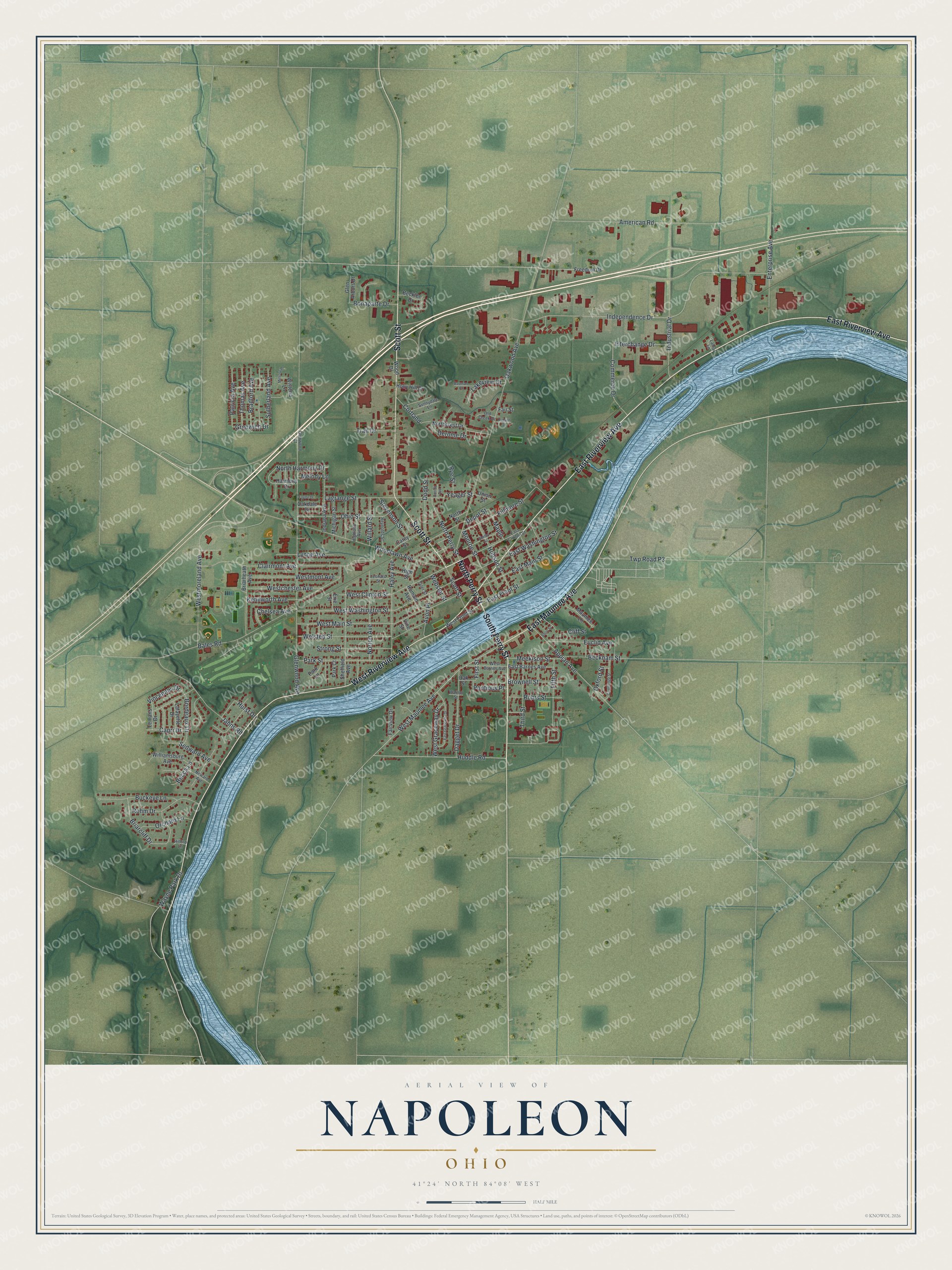
Created by KNOWOL in 2026, this print sets red buildings and a blue river on soft green farmland, with thin gray streets and small printed names. The title panel at the bottom reads Aerial View of Napoleon, Ohio, with 41°24' North 84°08' West set beneath it.
It suits a living room, a front hall or a home office. It makes a good gift for anyone who grew up near the Henry County Courthouse, or for a friend who moved away and still misses home. Open the preview and find your street. See sizes and frames for the Napoleon map.