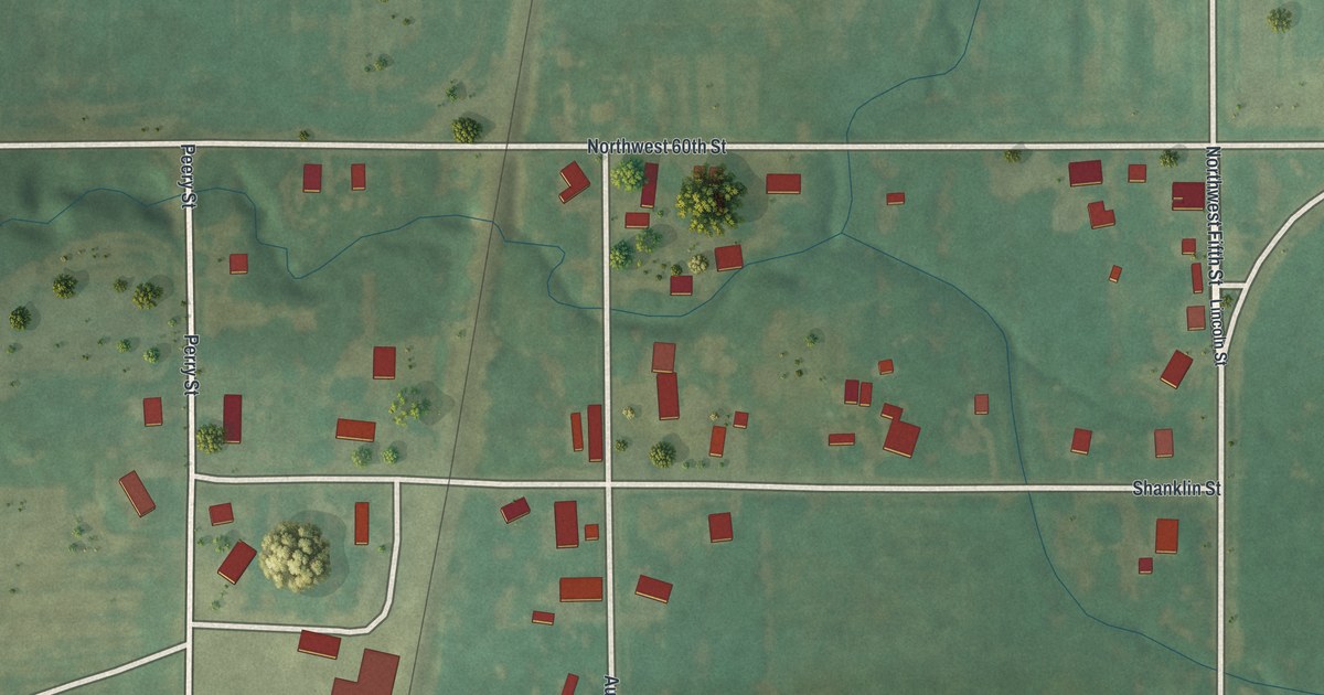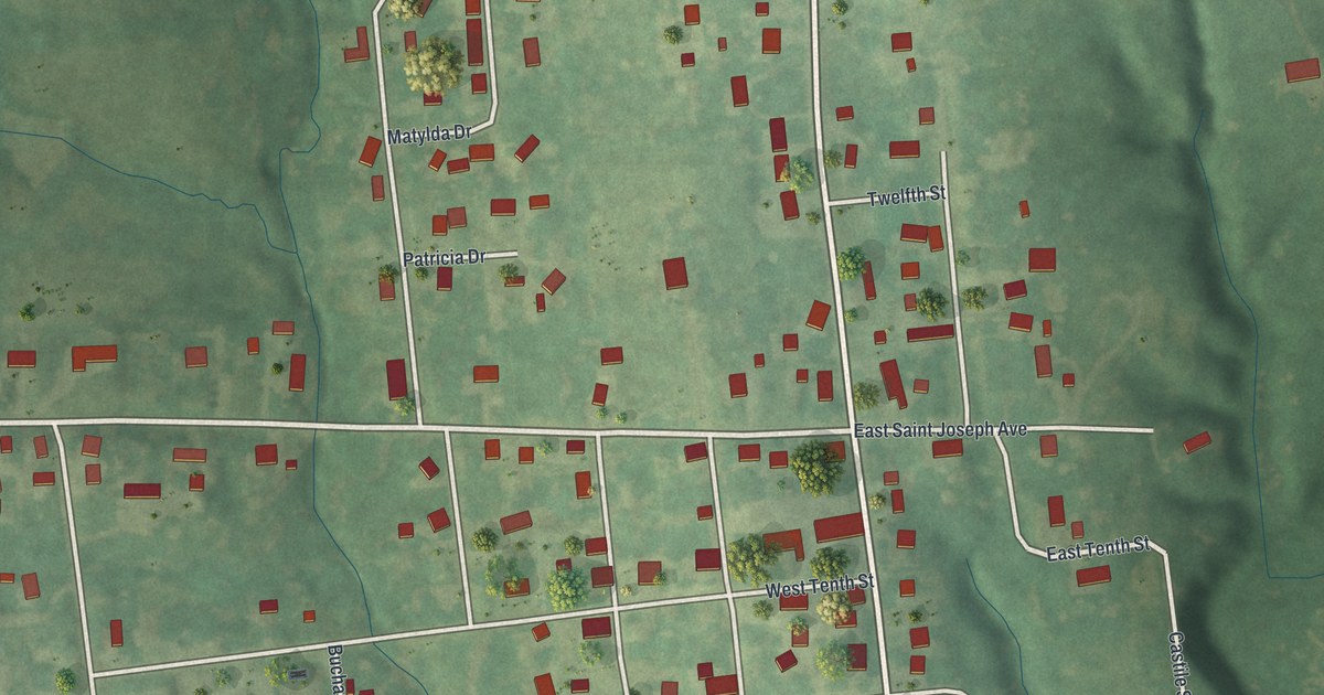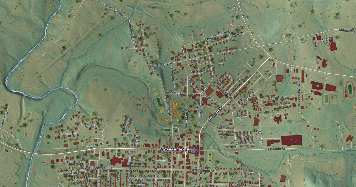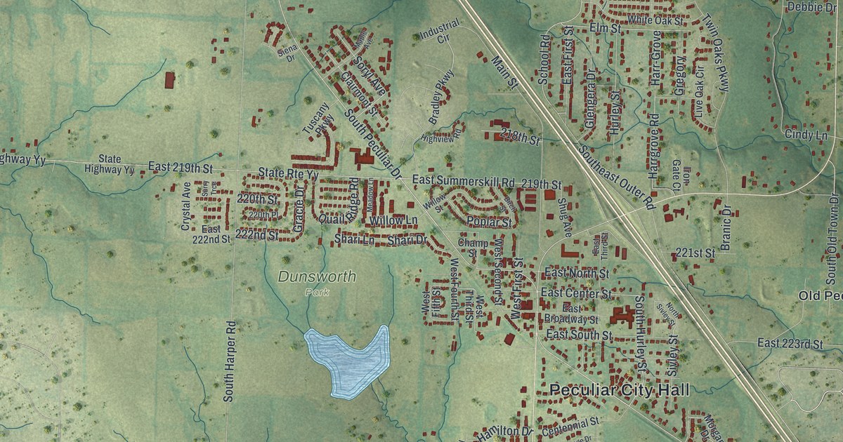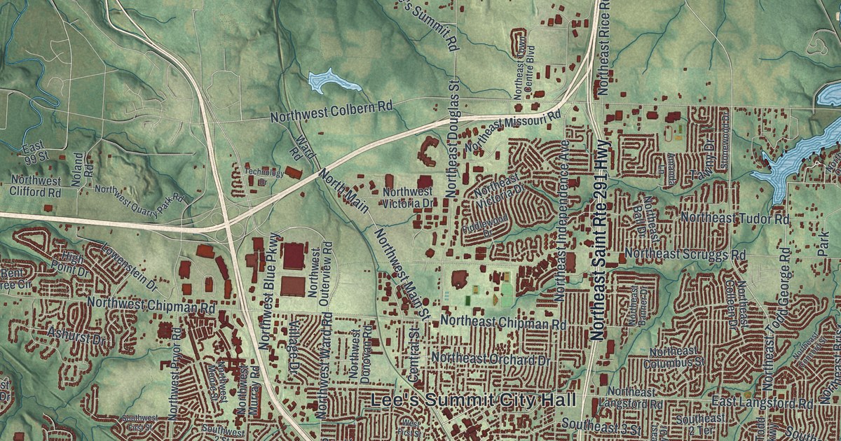
If you grew up in Lee's Summit, or still walk the old blocks downtown, this map is for you. It's a modern aerial view of Lee's Summit in Jackson County, Missouri, made from modern data and given a vintage feel. Green hills and winding creeks fill the sheet. Long blue lakes reach in from the edges. Almost 60,000 small red shapes mark the buildings, and they crowd closest around City Hall in the middle.
Find your street in Lee's Summit
On this map you'll find Lee's Summit City Hall, Southeast Third Street, Southwest Market Street, Northwest Main Street, Northeast Douglas Street, Northeast Chipman Road, Northwest Colbern Road, Northeast Woods Chapel Road, View High Drive, Longview Lake Park, Northeast Todd George Parkway, Southwest Ward Road, South Lee, and more. Each red shape is a building, so zoom in on the preview and look for yours.
Old downtown on Third Street
Lee's Summit was laid out in 1865, says a place-name file kept by the State Historical Society of Missouri. Its old downtown blocks hold several National Register listings. On the map, Lee's Summit City Hall is near the middle. Southeast Third Street and Southwest Market Street are printed close by. Four National Register listings sit on Third Street alone. The Sherwood Manufacturing Company Building is at 123 SE 3rd St. The Todd M. George Sr. House is at 408 SE 3rd St. The Southeast Third Street Residential Historic District covers the rest of that 400 block. A second district takes in 202 through 300 SW 3rd St.
Market Street has its own place on the list. The Lee's Summit Post Office at 210 SW Market St. was listed in 2018. The Southwest Market Street Historic District takes in 314 through 418 SW Market St. Two old churches are listed too. One is the Lee's Summit Christian Church Building, at Douglas and Fourth. The other is Saint Paul's Episcopal Church, at Fifth and Green. Saint Paul's was listed in 1985, the earliest date among these listings. Green Street also has a listed row of historic cottages, plus two more historic districts of older homes near Green Street.
Lee's Summit from Third Street to Longview Lake Park
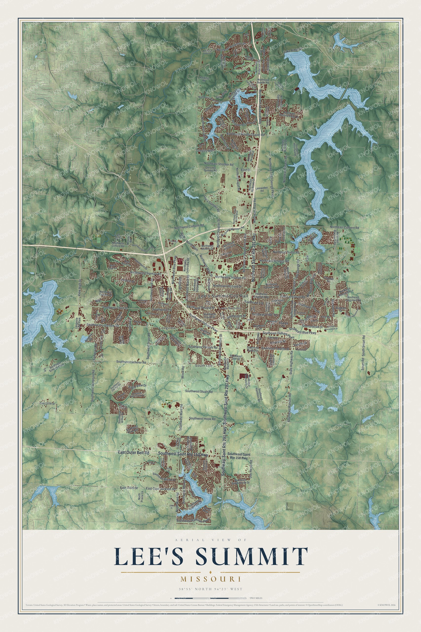
Created by KNOWOL in 2026, this print shows Lee's Summit in shaded green hills, soft blue lakes and thin creeks, with every building in deep red. The cream title panel reads AERIAL VIEW OF, then LEE'S SUMMIT, then MISSOURI, with 38°55' NORTH 94°23' WEST in small letters below.
It suits a living room, a home office or the hall by the front door. It's a good gift for someone who grew up near Longview Lake Park, or who moved away from the old Market Street blocks. Open the preview and look for your own street. See sizes and frames for the Lee’s Summit map.