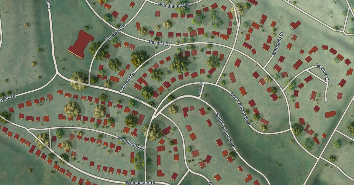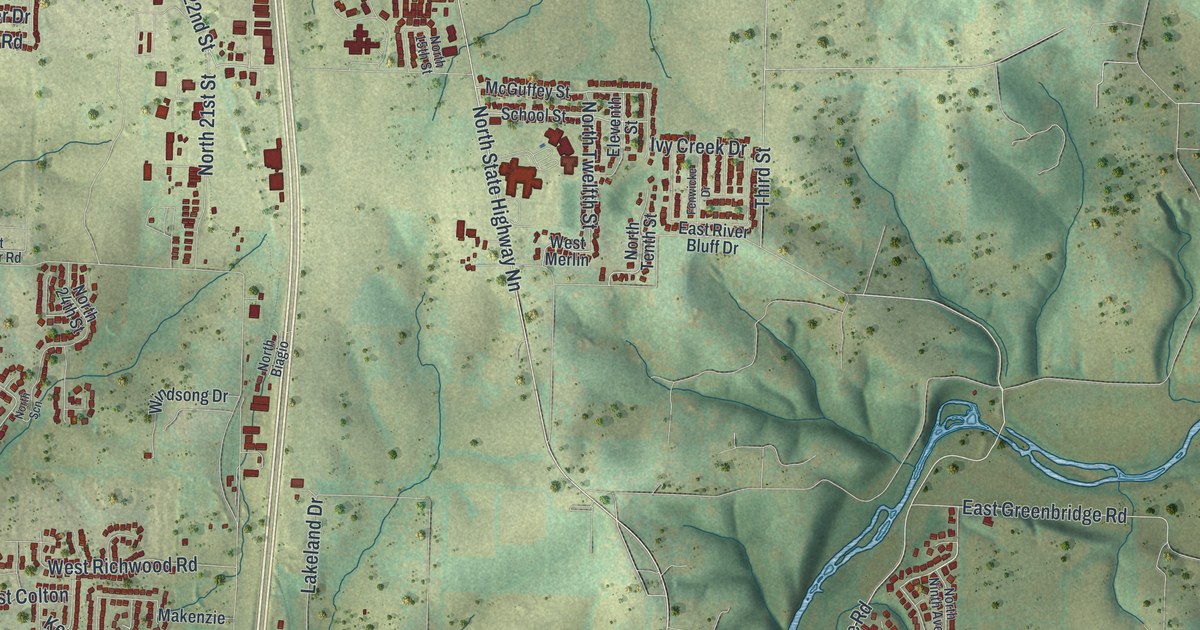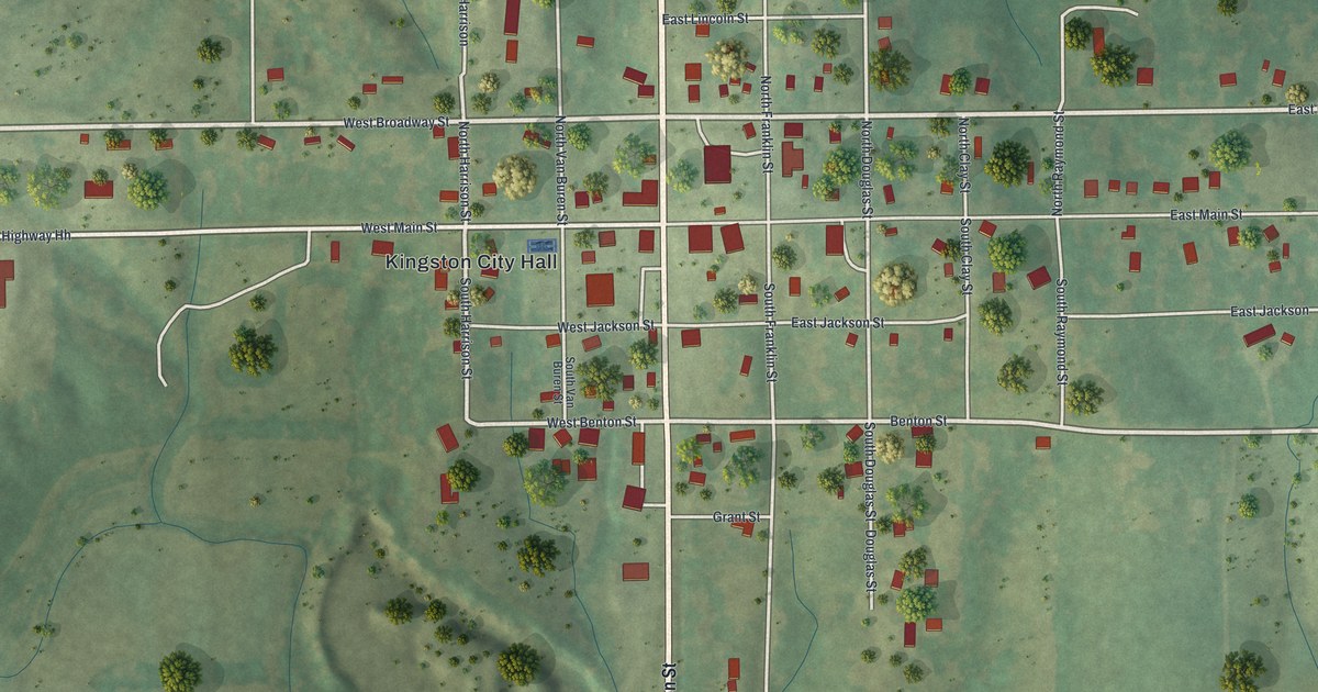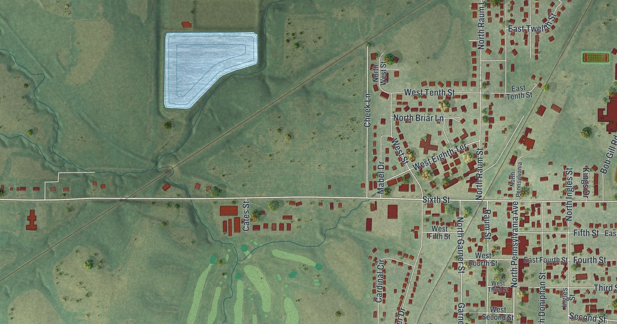
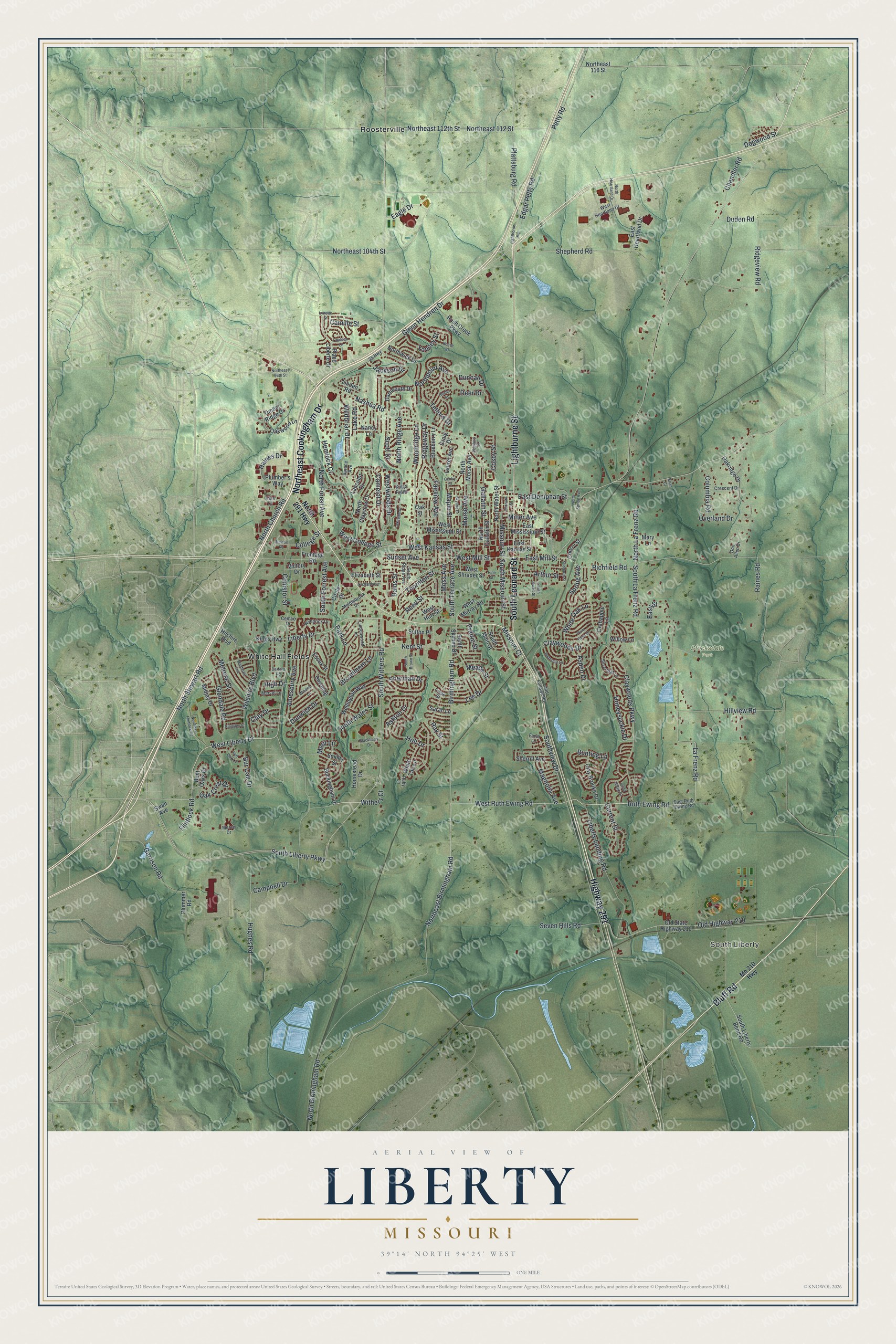
If you grew up in Liberty, or still shop around the old courthouse square, this map is for you. It's a modern aerial view of Liberty in Clay County, Missouri, made from modern data and given a vintage look. Green hills fold around the town, and red buildings fill its streets. Along the bottom edge, flat green bottomland holds a few bright blue ponds.
Lightburne Street, Bennett Park and South Liberty
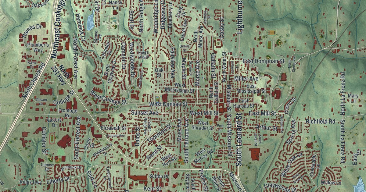
On this map you'll find Lightburne Street, South Leonard Street, East Mill Street, West Mill Street, Missouri Street, East Kansas Street, South Jewell Street, Gallatin Street, Highway 291, Bennett Park, Stocksdale Park, White Hall Fields, Roosterville, South Liberty, and more. Each red shape is a building, so zoom in on the preview and look for yours.
Eleven Liberty places on the National Register
Liberty has eleven places on the National Register of Historic Places. Most sit close to the old courthouse square. The Miller Building, the Major Hotel and the Odd Fellows lodge all stand on East Franklin Street. So do the Clay County Savings Association Building and the Frank Hughes Memorial Library. Jewell Hall stands on Jewell Street, between Kansas and Mississippi Streets. To find it, look near South Jewell Street, East Kansas Street and East Mississippi Street on the map. The Clinton House is listed too, at 404 South Leonard Street. So is Mount Memorial Cemetery, on the 500 block of East Mississippi Street.
John Owens's house, a Liberty voting place
An 1885 history of Clay County names Liberty in its account of an election in Gallatin township. The house of John Owens, in Liberty, was named as the voting place. James McClelland, John Evans and John McKissick served as the judges.
Keep Liberty's courthouse square close
Names on this map
These names are printed on this map.
Places: South Liberty, Bennett Park, Stocksdale Park, Roosterville and White Hall Fields.
Streets and roads: Lightburne Street, Highway 291, South Leonard Street, Bluff Road, Northeast Cookingham Drive, South Withers Road, Ruth Ewing Road, Sunset Avenue, Liberty Drive, South Liberty Parkway, West Mill Street, West Liberty Drive.
More street names, A to Z
35 Highway, Amesbury Avenue, Arthur Street, Ashton Drive, Aspen Drive, Barford Road, Bent Oaks Drive, Birmingham Road, Blackberry Drive, Blueberry Lane, Brian Court, Broadmore Lane, Buckingham Drive, Bunting Lane, Bur Oak Drive, Butternut Lane, Camelot Drive, Camille Street, Campbell Drive, Cemco Drive, Chandler Road, Chateau Lane, Cherry Street, Circle Drive, Clay Brooke Drive, Clay Drive, Claywoods Drive, Claywoods Parkway, Clyde Street, College Street, Columbia Road, Conistor Street, Cosby Street, Crabapple Lane, Craig Drive, Crescent Drive, Current Street, Dains Street, Dartmouth Drive, Deer Drive, Dexter Street, Dogwood Street, Don Allen Drive, Downing, Duden Road, Duncan Drive, Dunwich Drive, Eagle Drive, East Doniphan Street, East Heartland Drive, East Kansas Street, East Mill Street, East Mississippi Street, East Ruth Ewing Road, Easy Street, Edgar Petty Road, Elizabeth Street, Essex Street, Fairview Avenue, Fawn Lane, Flintlock Road, Frontage Road, Gallatin Street, Garrison Road, Gentry Street, Glendale Road, Glenn Hendren Drive, Haines Drive, Hemlock Court, High Drive, Hillview Road, Hilshire Boulevard, Holt Drive, Homestead Drive, Honeysuckle Drive, Hughes Road, Jackson Drive, Kara Court, Kent Street, Kings Highway, Kingsley Street, Kings Ridge, La Frenz Road, Lake Road, Lakeside Drive, Lancelot Drive, Laurel Avenue, Lee Drive, Leonard Street, Liberty Landing Road, Lightborne Road, Linden Road, Lindenwood Lane, Lynette Street, Magnolia Avenue, Maple Street, Marvel Lane, Mary Lane, Meade Street, Melrose Street, Mercy Drive, Merit Lane, Middlebrook Drive, Midjay Drive, Miller Avenue, Missouri Court, Missouri Street, Mo 210 Highway, Monterey Avenue, Morse Avenue, Moss Avenue, Nancy Lane, Nashua Road, North 291 Highway, North Birmingham Road, North Church Road, North Clayview Drive, Northeast 96th Street, Northeast 104th Street, Northeast 112 Street, Northeast 112th Street, Northeast 116 Street, Northeast Birmingham Road, Northeast Flintlock Road, North Forest Avenue, North Gallatin Street, North Heartland Drive, North La Frenz Road, North Morse Avenue, Northpoint Avenue, North Ridge Avenue, North Spring Avenue, North Stewart Road, North Water Street, Northwick Drive, Oak Crest Drive, Oakridge Drive, Oak Street, Oakwood Lane, Odd Fellows Road, Old Highway 210, Old State Highway 210, Orchard Avenue, Overland Drive, Park Lane, Pemford Place, Petty Road, Pine Street, Place Liberte Drive, Plattsburg Road, Plumber's Way, Plummer Road, Plum Rose Drive, Prairie Street, Quail Ridge Drive, Raines Road, Ray Street, Red Oak Lane, Reed Street, Reese Street, Richfield Road, Ridgeview Road, Ridgeway Drive, Ruby Lane, Rush Creek Parkway, Sarah Lane, Scott Drive, Seven Hills Road, Shepherd Road, Sherman Drive, Sherrill Avenue, Silverleaf Lane, Skyline Drive, Smiley Street, South Brown Street, South Forrest Avenue, South Jewell Street, South La Frenz Road, South Liberty Bend Road, South Main Street, South Missouri Street, South Ridge Avenue, South Skyline Drive, South Terrace Avenue, Southview Drive, South Wales Street, Spring Avenue, Spruce Avenue, Stewart Road, Suddarth Street, Sutton Place, Swan Avenue, Telford Drive, Thornton Street, Timber Ridge Drive, Victory Drive, Wellington Way, West College Street, West Heartland Drive, West Hurt Street, West Kansas Street, West Mississippi Street, West Murray Road, West Ruth Ewing Road, West Shrader Street, Westwoods Drive, White Oak Lane, White Tail Lane, Wildbriar Drive, Willow Lane, Wilshire Boulevard, Windsor Lane, Withers Court, Woodridge Lane, Wynbrick Drive, Yancey Street.
Created by KNOWOL in 2026, this print shows Liberty in soft greens, with shaded hills, thin blue creeks and red buildings. The title panel reads Aerial View of Liberty, Missouri, with the coordinates 39°14' North 94°25' West.
It suits a living room, a home office or a dorm room wall. It's a good gift for anyone from Liberty who moved away, or for someone who loves Jewell Hall. Open the preview and find your street. See sizes and frames for the Liberty map.