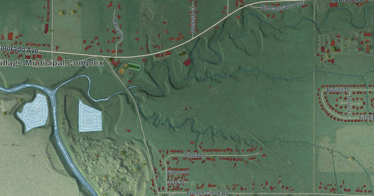
If you grew up in Sheffield, or your family still lives off Detroit Road or Abbe Road, this map was made with you in mind. It's a modern aerial view of Sheffield in Lorain County, Ohio, built from modern data with a vintage feel. A winding blue river cuts down through the middle of the sheet. Colorado Avenue crosses the top half, and Detroit Road runs along the bottom. Lake water shows in the top left corner, and the streets around Abbe Road fill the right side.
The Burrell Homestead on East River Road
On this map you'll find Detroit Road, Abbe Road, Colorado Avenue, East River Road, French Creek Road, Lake Breeze Road, Harris Road, Oster Road, Burrell Drive, Evergreen Parkway, Preservation Boulevard, the Sheffield Village Municipal Complex, Crandall, and more. Each red shape is a building, so zoom in on the preview and look for yours.
In June 1815, Captain Jabez Burrell settled land here. He came from Sheffield, Massachusetts. Five years later, the brick homestead was built. Five generations of Burrells lived in it, from 1820 until Eleanor B. Burrell died in January 2001. The house stands at 2792 East River Road, and the road is printed on this map. Burrell Drive is printed on the map too.
Sheffield's School Open to All in 1836
In 1836, a school opened at the Burrell Homestead. It was called the Sheffield Manual Labor Institute, and it was a branch of Oberlin College. Black and white students learned there together. It closed the next year. The Ohio Legislature wouldn't grant its charter unless it shut out black students.
From 1837 until the Civil War, the homestead was a major stop on the Underground Railroad. People escaping slavery hid in the grain barn. Robbins Burrell then worked with ship captains in Lorain, such as Aaron Root. The captains hid them on boats for the trip across Lake Erie to freedom in Canada. That's how the story is told on the Remarkable Ohio marker at the house.
Sheffield from Colorado Avenue to Detroit Road
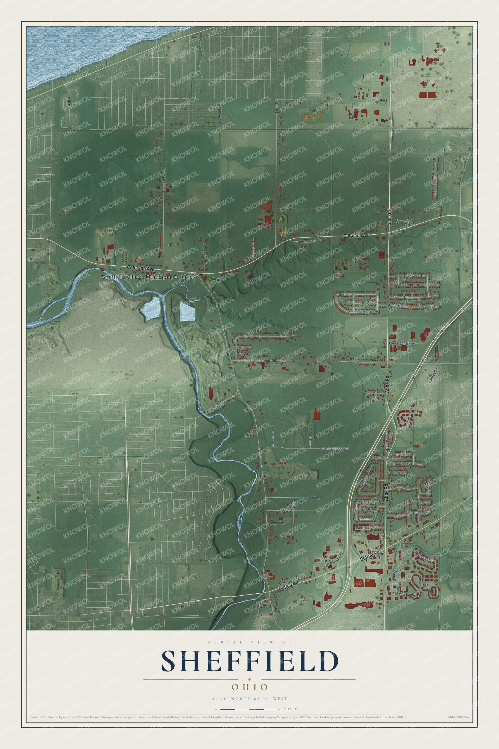
Created by KNOWOL in 2026. The print shows Sheffield in soft greens, with red buildings, pale roads and a blue river winding through. The title panel at the bottom reads Aerial View of Sheffield, Ohio, with the coordinates 41°28' North 82°06' West.
It fits a living room, a hallway or a home office. It's a good gift for someone who grew up near the Burrell Homestead or who drove Detroit Road every day before moving away. Open the preview and find the streets you know. See sizes and frames for the Sheffield map.