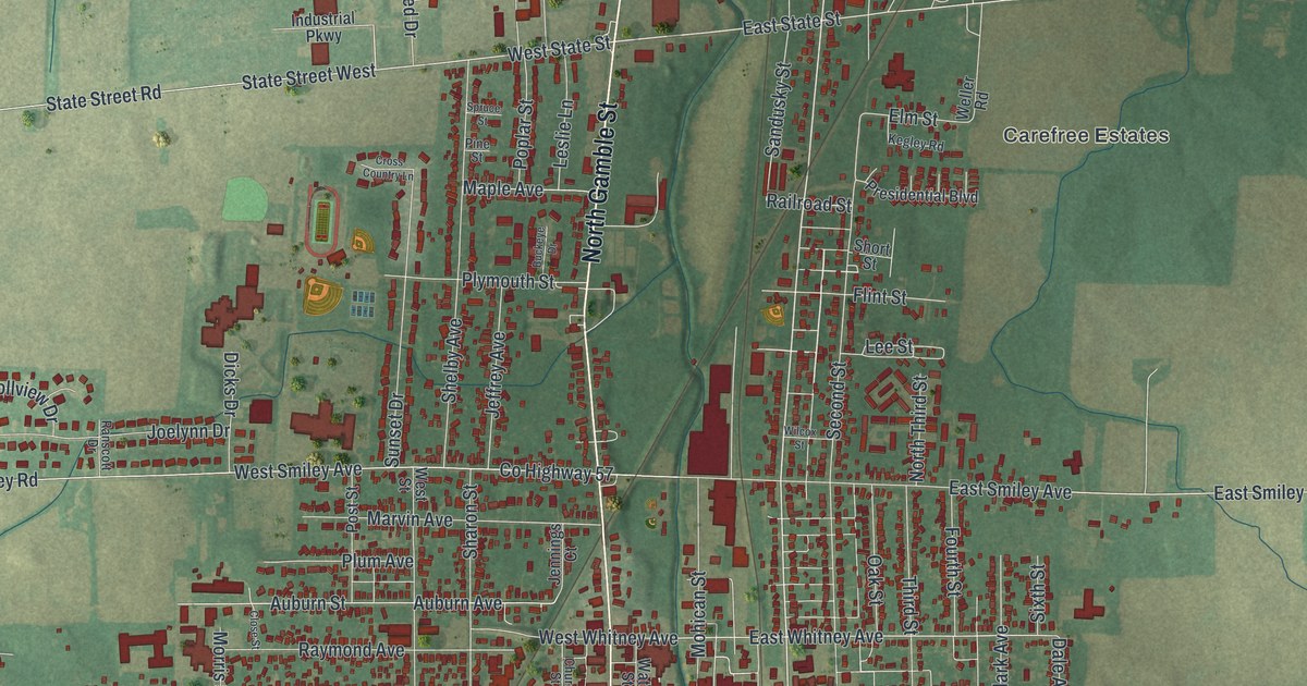
If you grew up on a street off Gamble or Main in Shelby, this map is made for you. It's a modern aerial view of Shelby in Richland County, Ohio, built from modern data and finished with a vintage look. The town sits in the middle of the sheet, with thousands of red buildings packed along its streets. A green valley runs through the center, and farm fields and blue ponds fill the land all around.
Gamble Street, Main Street and Shelby-Oakland Cemetery
On this map you'll find North Gamble Street, South Gamble Street, West Main Street, East Main Street, Mansfield Avenue, Broadway Street, High School Avenue, Raymond Avenue, West Street, Grand Boulevard, Park Avenue, Goodyear Road, Firestone Road, Shelby-Oakland Cemetery, Carefree Estates, and more. Each red shape is a building, so zoom in on the preview and look for yours.
Rice of Shelby and Perry's Victory on Lake Erie
Shelby has an old tie to a famous fight on Lake Erie. The 1880 History of Richland County tells of a man named Rice, of Shelby. It says he had died only a short time before. The book says he seems to have been the last survivor of Perry's victory on Lake Erie. The same book tells how school started here. Schools were first set up about 1820. The first schoolhouse stood on the Cutler farm, a mile and a half east of Shelby, near the crossroads. Its first teacher was Miss Amelia Graves. A man named Giles Swan lived nearby. The book calls him well educated and likely a leader in getting the school built.
The Marvin Memorial Library and Shelby's Historic Places
Three Shelby buildings are on the National Register of Historic Places. The Marvin Memorial Library stands at 34 North Gamble Street. It was listed in 1987. Most Pure Heart of Mary Church is at West Street and Raymond Avenue. It was listed in 1978. The Shelby Oakland Mausoleum, at 116 South Gamble Street, joined the list in 2024. Find North Gamble Street, South Gamble Street, Raymond Avenue and West Street on the map, and you can spot where each one stands.
A Shelby Map for Home or for Someone Far from Gamble Street
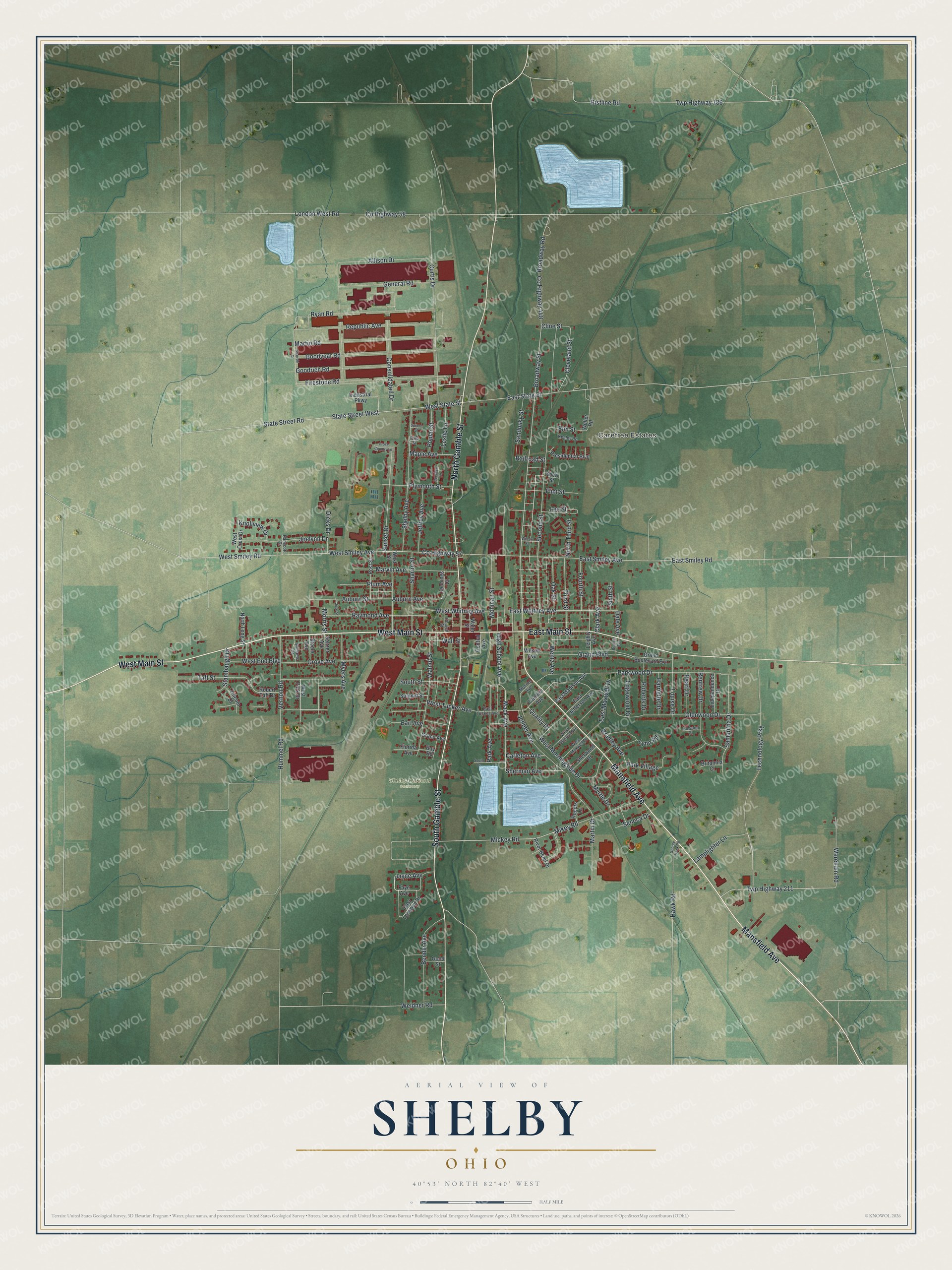
Created by KNOWOL in 2026, this print shows Shelby from above in soft greens and tans, with red buildings, pale blue ponds and thin white roads. The cream title panel at the bottom reads "Aerial View of Shelby, Ohio" with the coordinates 40°53' North 82°40' West.
It fits a living room, a front hall, a home office or a den. It's a good gift for someone who checked out books at the Marvin Memorial Library, or for a friend who moved away and still thinks of Main Street. Open the preview and find the streets you know. See sizes and frames for the Shelby map.