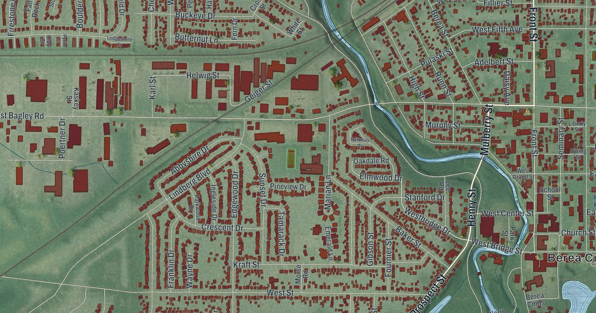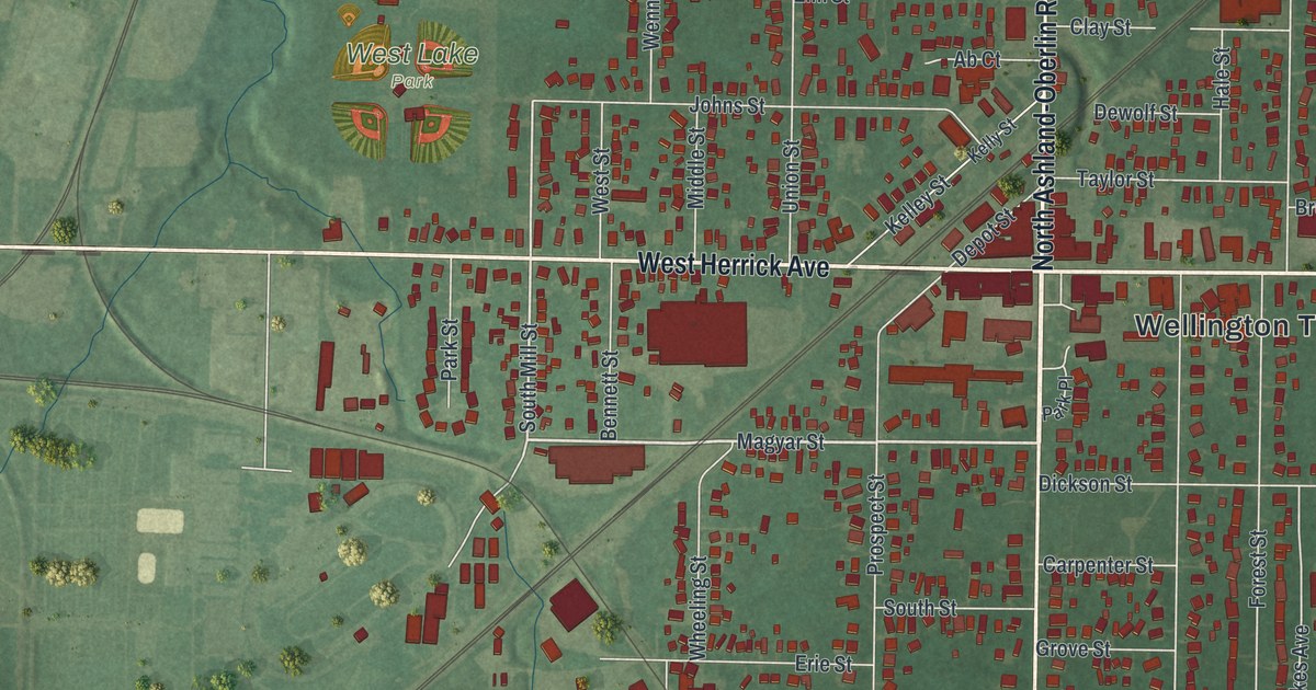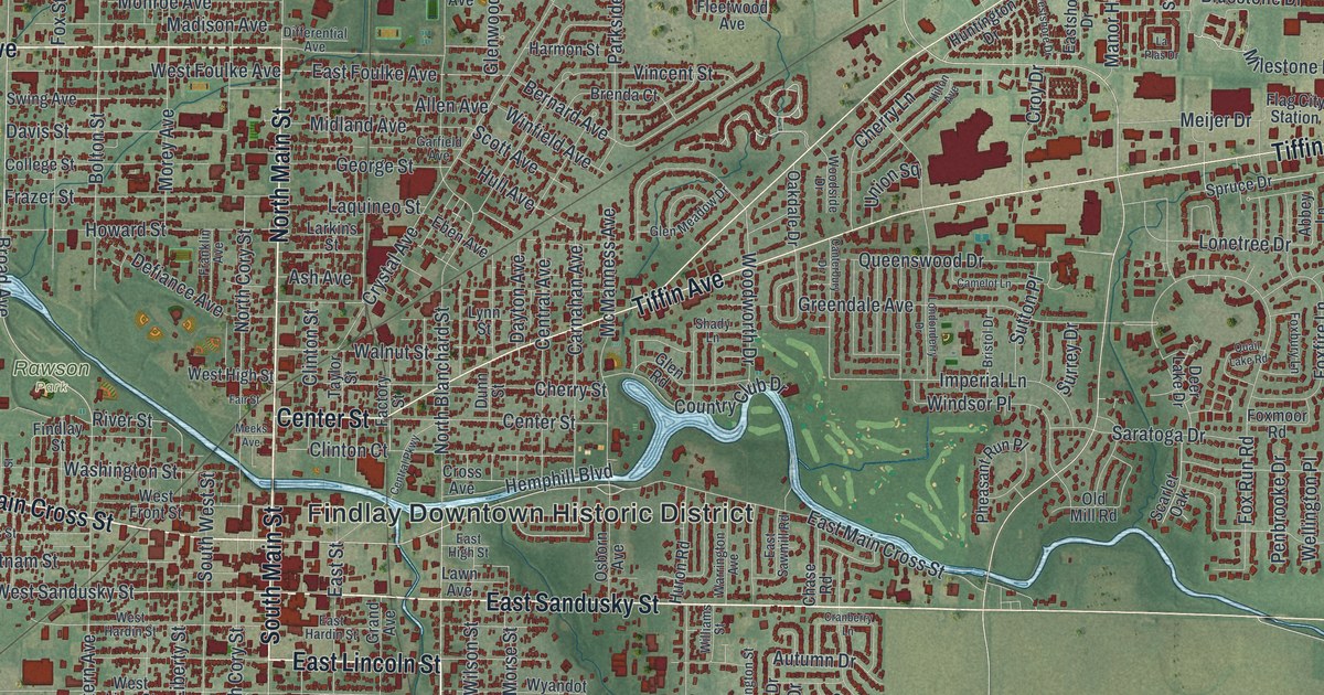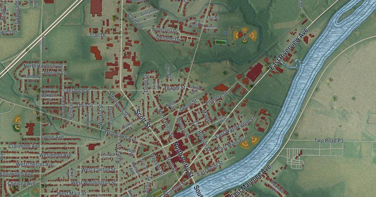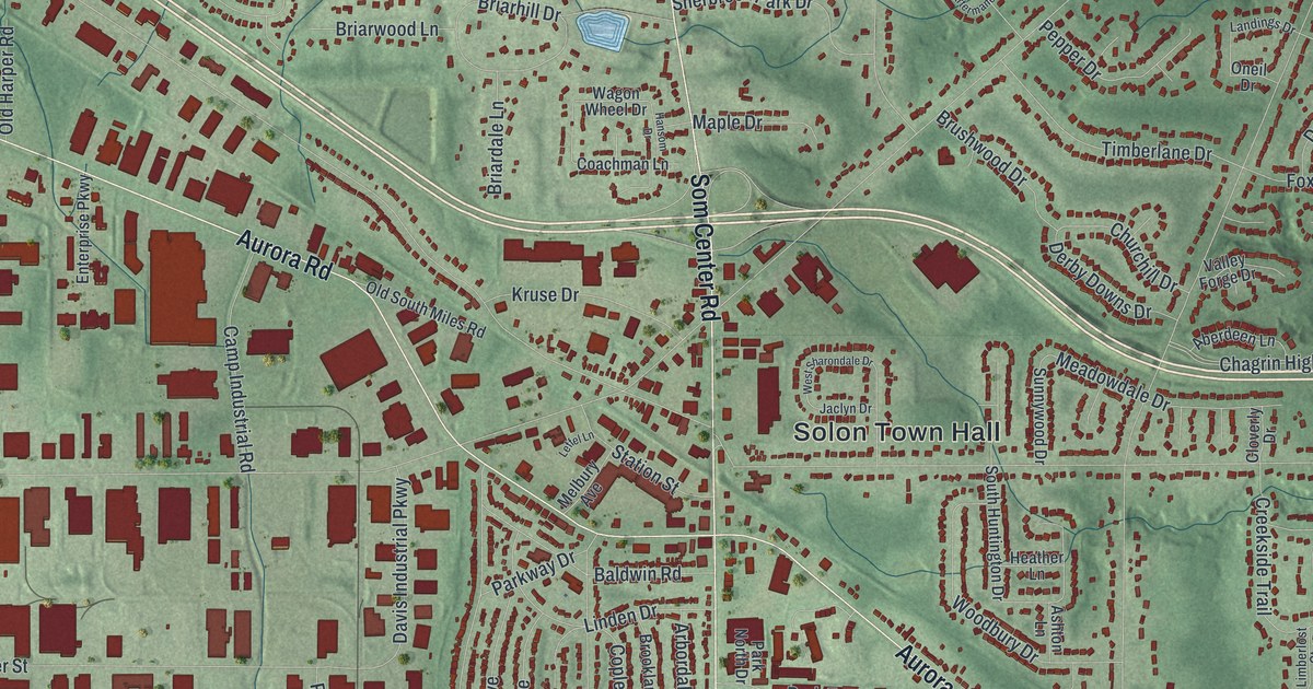
If you grew up in Solon, raised a family on one of its quiet lanes, or still drive Aurora Road every day, this map is for you. It's a modern aerial view of Solon in Cuyahoga County, Ohio, built from modern data and given a vintage feel. Soft green hills roll across the whole sheet. More than 14,000 buildings show up as small red shapes. Thin blue streams wind through the corners.
Find Your Street Near Solon Town Hall
On this map you'll find Aurora Road, Som Center Road, Bainbridge Road, Solon Town Hall, Solon Community Park, Solon Woods State Nature Preserve, South Chagrin Reservation, North Solon, Cannon Road, Miles Road, Liberty Road, Pettibone Road, Solon Industrial Parkway, Portz Parkway, and more. Each red shape is a building, so zoom in on the preview and look for yours.
When James A. Garfield Preached on Bainbridge Road
Solon's best-known story starts with a church near the center of town. In 1845, the Disciples of Christ built the first of three churches on one spot. They put up a bigger one in 1858. On August 6, 1860, they hired a young circuit minister to preach there every other Sunday for a year. His name was James A. Garfield. He was 29 years old. Later he became the 20th President of the United States.
An arsonist burned the second church and the Solon Village Hall. In 1899, a new church went up on the same spot. The Disciples used it until 1920. Then they joined two other local churches to form the Federated Church of Solon. In 1951, the Pioneer Memorial Church moved into the empty building and fixed it up. The City of Solon bought it in 1968. It's been home to the Solon Historical Society ever since, as the Solon Town Center marker from the Ohio History Connection tells it. The old church stands at 33975 Bainbridge Road, close to where Solon Town Hall sits in the middle of the map.
A Map of Solon, From North Solon to Solon Woods
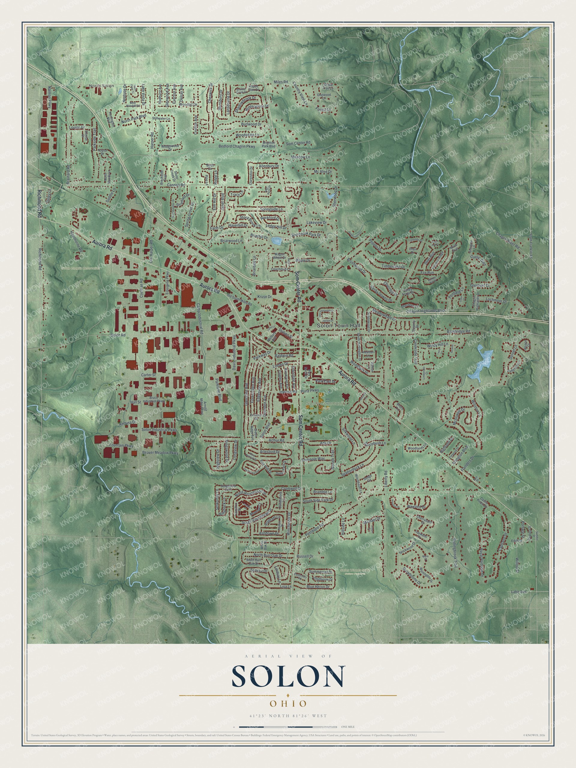
Created by KNOWOL in 2026, this print sets Solon's streets and buildings over green, shaded hills, with streams in soft blue. The cream title panel says Aerial View of Solon, Ohio, with 41°23' North 81°26' West printed below.
It fits a living room, a home office or the hall by the front door. It's a kind gift for someone who walked the trails at South Chagrin Reservation, grew up near Solon Community Park, or moved away and still misses Som Center Road. Open the preview and find your street. See sizes and frames for the Solon map.