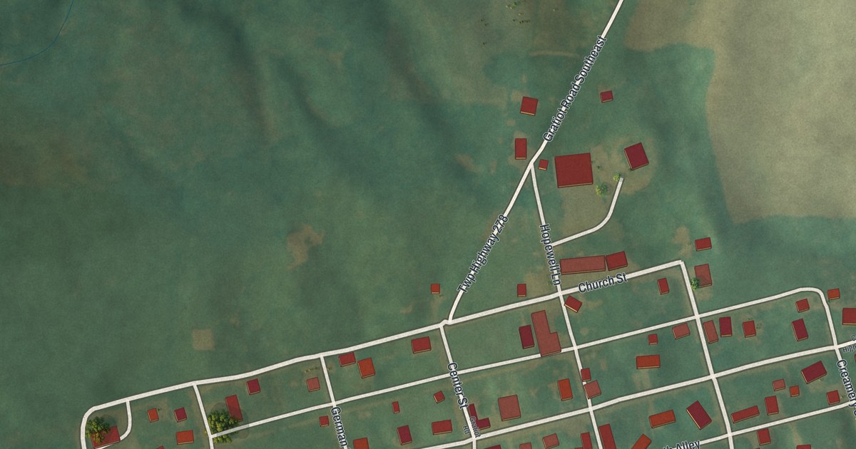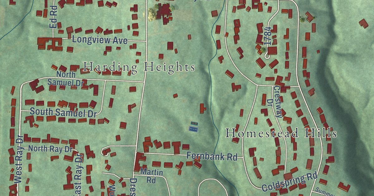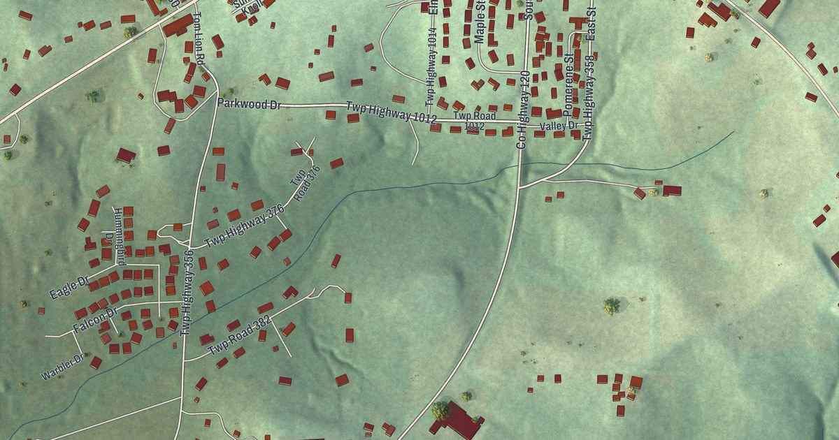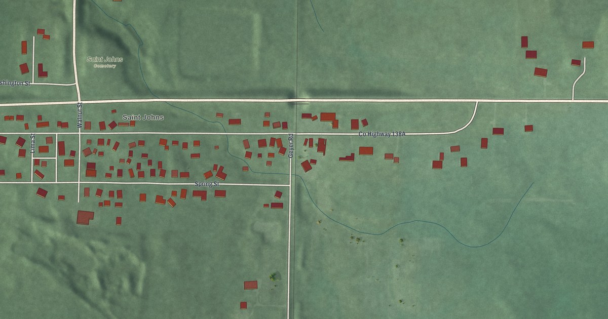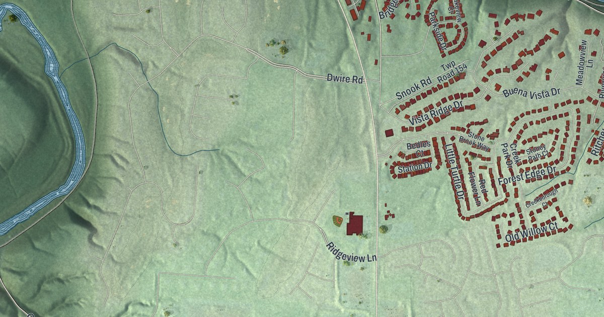
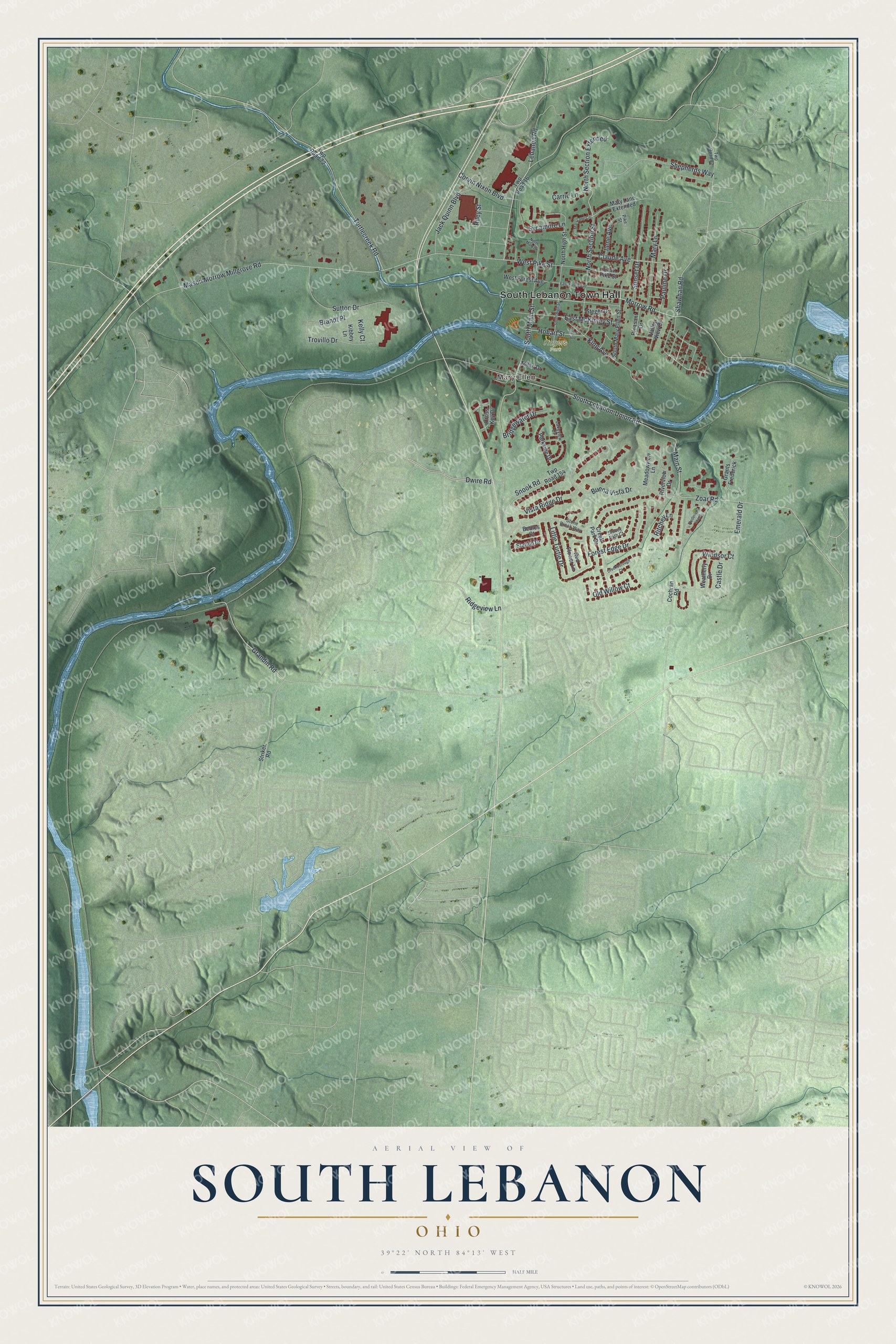
This beautifully detailed map of South Lebanon, Ohio was created in 2026 using aerial imagery combined with modern topographical, census, street and landmark data. It’s a one-of-a-kind view of South Lebanon that combines accurate data with a vintage aesthetic. The map shows every building in its true location, many of the roads carry their names, and the shaded topographic relief shows the shape of the land.
Explore an aerial view of South Lebanon, Ohio
On the map you’ll find South Lebanon Town Hall, Mary Ellen, Rogers Park, and North Section Extended, along with Lebanon Road, South Main Street, West Pike Street, Ridgeview Lane, Grandin Road, Mason Morrow Millgrove Road, South Lebanon-Union Road, Zoar Road, and more. If you look closely you can even find your house accurately drawn in its correct location. Zoom in on the preview to look for yours.
Did you know this piece of South Lebanon, Ohio history?
The first settlers came in the 1790s. The village was first called Deerfield, since it was the chief settlement of its township. It took the name South Lebanon when the railroad was built, because it lay close to Lebanon, the county seat. The post office changed to the new name in 1871.
Take a closer look at the South Lebanon map
Street and place names on the South Lebanon, Ohio map
These names are printed on the map of South Lebanon, Ohio.
Places: South Lebanon Town Hall, Mary Ellen and Rogers Park.
Streets and roads: Lebanon Road, South Main Street, West Pike Street, Ridgeview Lane, Grandin Road, North Section Extended, Mason Morrow Millgrove Road, South Lebanon-Union Road, Zoar Road, Buena Vista Drive, Emerald Drive, North Section Street.
More street names, A to Z
Bedles Court, Brandt Place, Bridgewater Drive, Carrie Lane, Castle Drive, Claude Avenue, Cochran Road, Corvin Nixon Boulevard, Creekborough Court, Creek Park Drive, Cross Key Drive, Dwire Road, East Forest Avenue, East McKinley Street, East Pike Street, Forest Edge Drive, Fredericks Stand, Grants Frederick, Hobart Avenue, Hobart Street, Ilene Avenue, Jack Quinn Boulevard, Kelly Court, Kibbey Lane, King Avenue, Lakeview Court, Little Turtle Drive, Main Street, Mary Lane, Mary Lane Circle, Mary Lane Extended, Meadowview Lane, Milan Drive, Morrow Road, North High Street, North Main Street, Old Willow Court, Parkside Drive, Pauline Drive, Pike Street, Pleasant Drive, Red Flower Lane, Riley Street, Ritchey Lane, Riverview Drive, Shawhan Road, Shepherds Way, Snook Road, South High Street, South Mary Ellen Street, Station Drive, Steger Drive, Stone Brook Way, Stoney Path Court, Striker Road, Sunset Drive, Sutton Drive, Sycamore Lane, Trovillo Drive, Turtlecreek Road, Twp Road 16, Twp Road 72, Twp Road 82, Twp Road 154, Valley View Drive, Vista Ridge Drive, Weatherly Drive, West Forest Avenue, Windsor Court.
See the South Lebanon, Ohio map on a wall
The South Lebanon map as an 18 x 24 inch print in a black frame.

This beautifully detailed map of South Lebanon makes an attractive addition to your office, library, or den, and it can even be used to teach children the geography and history of the area. It also makes a great gift for anyone with South Lebanon roots. When you’re done exploring, click here to get your copy of the South Lebanon map.