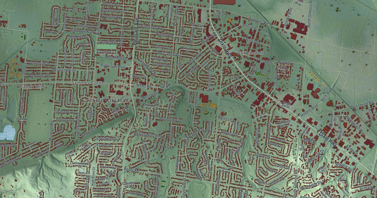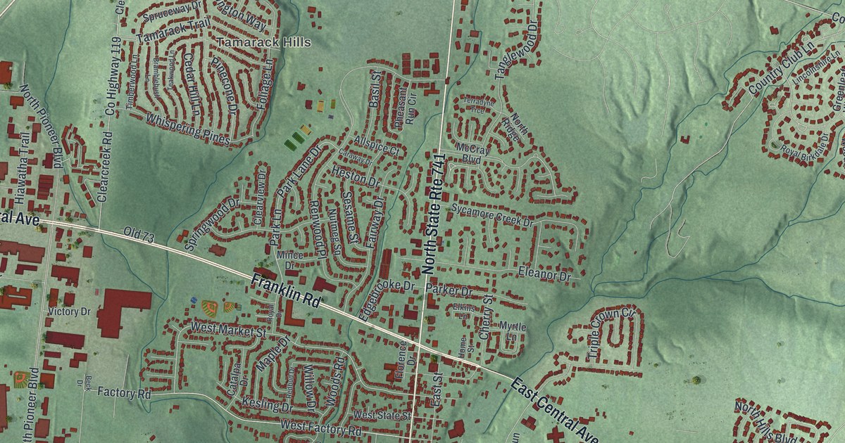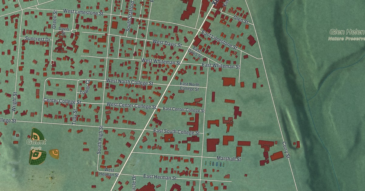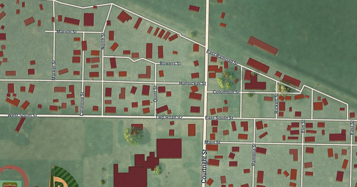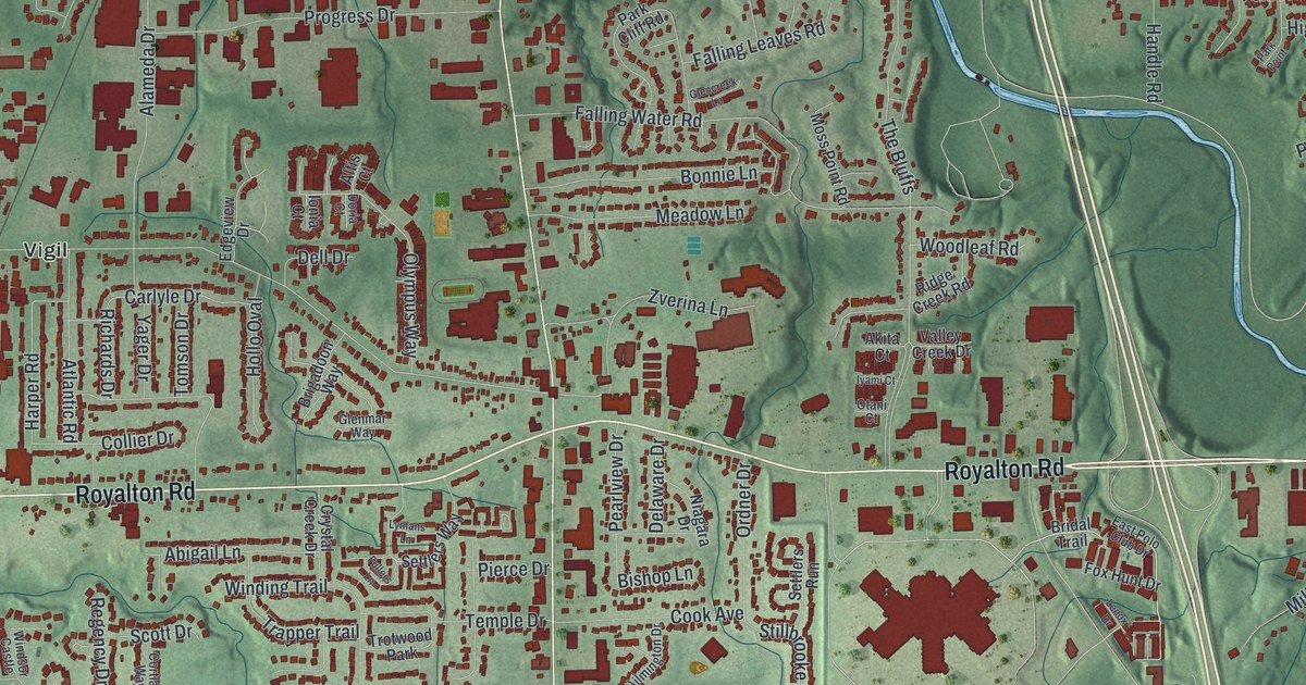
If you grew up off Pearl Road or Royalton Road, this map will feel like home. It's a modern aerial view of Strongsville in Cuyahoga County, Ohio, made from modern data and given a vintage feel. Green shaded hills roll across the whole sheet. A blue creek winds through the north end and down into the woods of Mill Stream Run Reservation on the right. Thousands of small red shapes mark the homes and shops, and the big one near the middle is Southpark Center.
The Pomeroy House on Pearl Road
On this map you'll find Pearl Road, Royalton Road, Prospect Road, Westwood Drive, Southpark Center, Mill Stream Run Reservation, Albion Road, Drake Road, Howe Road, Lunn Road, Whitney Road, West 130th Street, Westwood Farms, Bennetts Corners, Beebetown, and more. Each red shape is a building, so zoom in on the preview and look for yours.
Pomeroy Hospitality and the road to Canada
Look where Westwood Drive meets Pearl Road. That's where the Pomeroy House stands. Alanson Pomeroy and his wife, Kezia, built it from 1847 to 1848. His parents had run a tavern in Strongsville, and people spoke of "Pomeroy Hospitality." Alanson kept that up. He served as a township trustee and a Justice of the Peace. He was also a leader in the Congregational Church.
The house has a braver story too. The Ohio historical marker says that, by oral tradition, it was a stop on the Underground Railroad. People escaping slavery were brought from Oberlin in wagons, often hidden under bales of hay. They waited in the cellar until it was safe to move on to Rocky River. From there, they boarded ships bound for Canada.
The house was restored in 1979. In 1980 it opened as Don's Pomeroy House restaurant, and it's on the National Register of Historic Places. It has company close by. The Strongsville Town Hall on Royalton Road and the John Stoughton Strong House on Westwood are listed too. On the map, they sit in the cluster of red buildings where Pearl Road crosses Royalton Road.
Pearl Road, Royalton Road and home
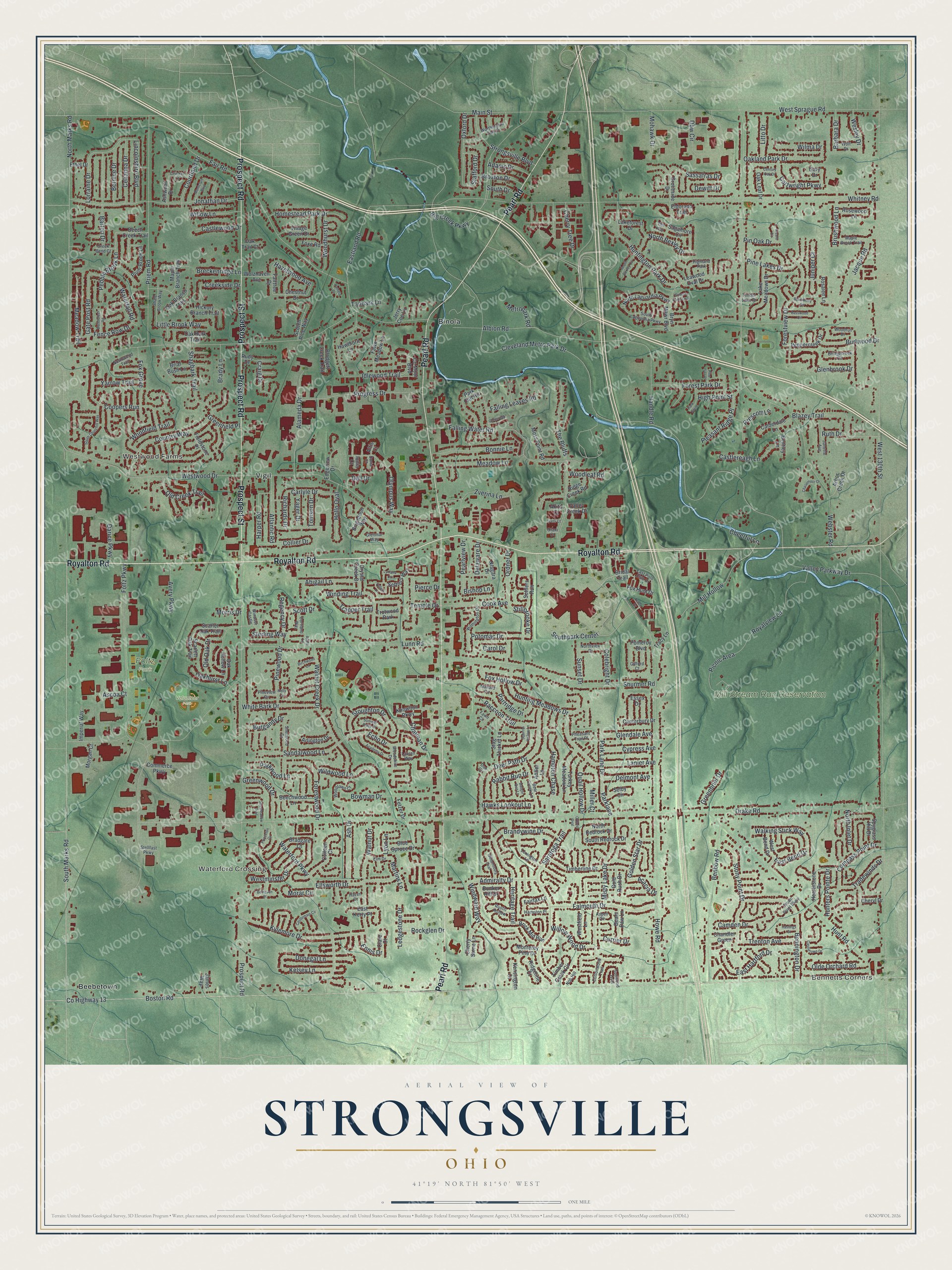
Created by KNOWOL in 2026. The print shows Strongsville from above, with soft green hills, red buildings, a winding blue creek and fine gray street names. A cream panel at the bottom reads AERIAL VIEW OF STRONGSVILLE, OHIO, with 41°19' NORTH 81°50' WEST beneath it.
It suits a family room, a front hall or a home office. It makes a good gift for someone who grew up near Southpark Center, or for a friend who moved away and still misses the Pearl Road drive. Open the preview and find your own street. See sizes and frames for the Strongsville map.