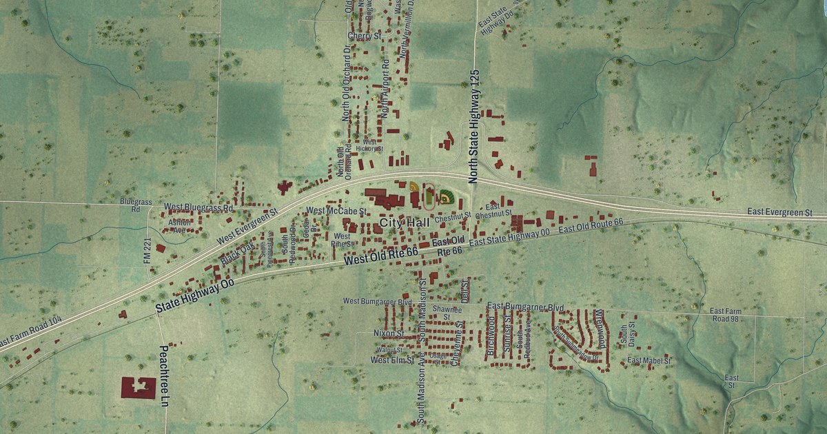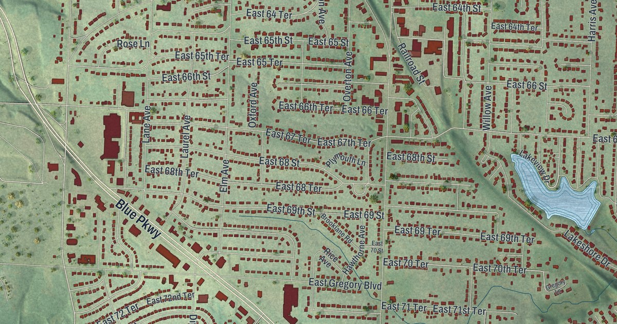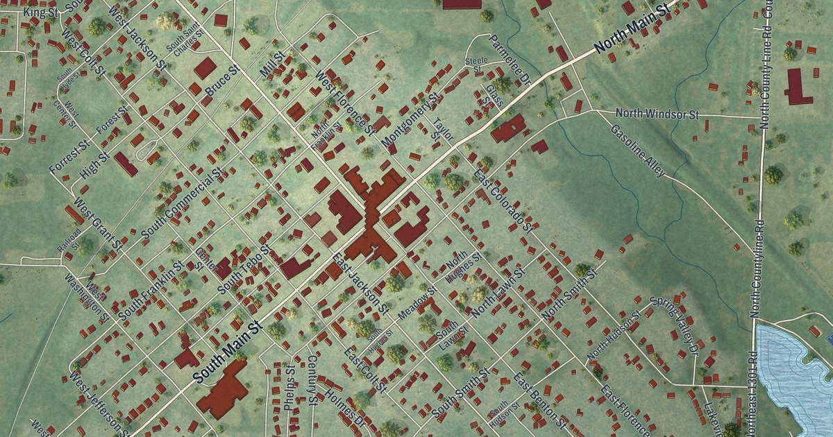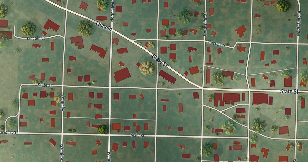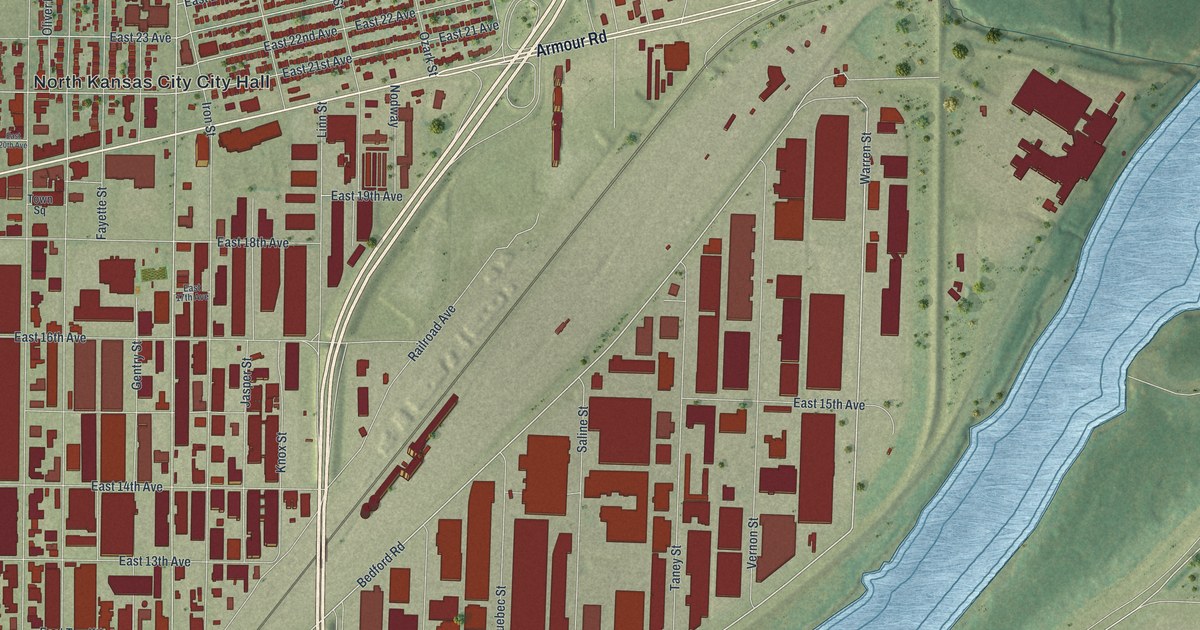
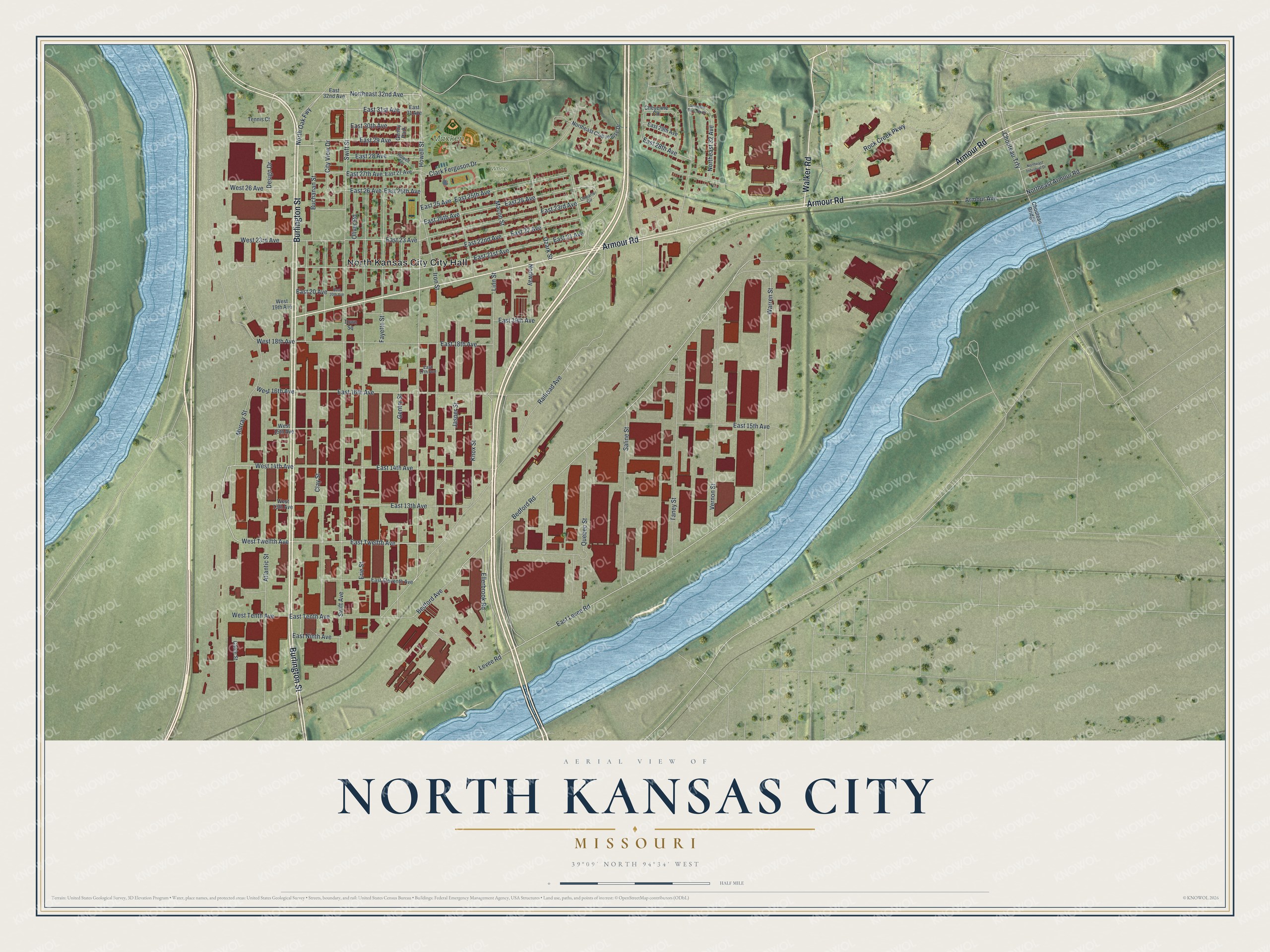
If you grew up on the numbered avenues near City Hall, or you still drive Armour Road to work, this map is for you. It's a modern aerial view of North Kansas City in Clay County, Missouri, made from modern data and given a vintage feel. A tight grid of streets fills the left side of the print. Long rows of big buildings stretch out toward the water. A wide blue river curves along both edges, and green hills rise along the top.
Armour Road, Burlington Street and City Hall
On this map you'll find Armour Road, Burlington Street, City Hall, Macken Park, Gentry Park, Swift Street, Howell Street, East 23rd Avenue, East 14th Avenue, Railroad Avenue, Bedford Road, Clark Ferguson Drive, Chouteau Bridge, and more. Each red shape is a building, so zoom in on the preview and look for yours.
Howard Cowden's farm co-op in North Kansas City
Howard A. Cowden started the Cowden Oil Company in January 1928. It sold fuel and oil to farm co-ops in Missouri and other states. The next year, he got six midwestern co-ops behind a bigger idea. They would form a co-op made of co-ops, to supply those products on a broad scale. The new company took over the assets of Cowden Oil and became the Union Oil Company. In 1935 it was renamed the Consumers Cooperative Association. Cowden set up its headquarters in North Kansas City, says the State Historical Society of Missouri. On the map, you can see how much of this town was built for work. Large red buildings fill the land between Railroad Avenue and East Levee Road.
National Register buildings on Armour Road and 14th Avenue
Three buildings in town are listed on the National Register of Historic Places. The Armour Theatre Building is at 400 to 410 Armour Road. The Sears, Roebuck and Company Warehouse Building is at 715 Armour Road. The Wheeling Corrugating Company Building is at 820 East 14th Avenue.
From Macken Park to the Chouteau Bridge
Names on this map
These names are printed on this map.
Places: North Kansas City City Hall, Macken Park, Wheel Park and Gentry Park.
Streets and roads: Burlington Street, Armour Road, Walker Road, Murray Street, East Twelfth Avenue, East 24th Avenue, Northeast 32nd Avenue, West Twelfth Avenue, West 14th Avenue, East Levee Road, East 29 Avenue, Bedford Road.
More street names, A to Z
Armour Avenue, Atlantic Street, Bedford Avenue, Buchanan Street, Cable Street, Cheyenne Circle, Chouteau Bridge, Chouteau Trfy, City View Drive, Clark Ferguson Drive, Clay Street, Design Drive, East 13th Avenue, East 14th Avenue, East 15th Avenue, East 16th Avenue, East 17th Avenue, East 18th Avenue, East 19th Avenue, East 20 Avenue, East 20th Avenue, East 21 Avenue, East 21st Avenue, East 22 Avenue, East 22nd Avenue, East 23 Avenue, East 23rd Avenue, East 24 Avenue, East 25 Avenue, East 25th Avenue, East 26 Avenue, East 26th Avenue, East 27 Avenue, East 27th Avenue, East 28 Avenue, East 28th Avenue, East 29th Avenue, East 30th Avenue, East 31 Avenue, East 31st Avenue, East 32nd Avenue, East Eleventh Avenue, East Ninth Avenue, East Tenth Avenue, Ellerbrook Road, Erie Street, Fayette Street, Gentry Street, Howell Street, Howell Terrace, Iron Street, Jasper Street, Knox Street, Levee Road, Linn Street, Macon Street, Nodway, Northeast 32 Avenue, Northeast Armour Road, Northeast Club House Drive, Northeast Industrial Drive, North Oak Fwy, Oliver Road, Orleans Circle, Ozark Street, Quebec Street, Railroad Avenue, Rock Creek Parkway, Saline Street, Seminole Drive North, Swift Avenue, Swift Street, Taney Street, Tennis Court, Town Square, Vernon Street, Warren Street, West 13th Avenue, West 15th Avenue, West 16th Avenue, West 18th Avenue, West 19th Avenue, West 23rd Avenue, West 26 Avenue, West Tenth Avenue.
Created by KNOWOL in 2026, this print shows North Kansas City from above. Shaded green hills, blue river water and deep red buildings sit on a soft cream border. The title panel reads "Aerial View of North Kansas City, Missouri" with the coordinates 39°09' North 94°34' West.
It suits a kitchen, a front hall, a den or an office. It's a good gift for anyone who knows Macken Park or grew up near City Hall and has since moved away. Open the preview and find your street. See sizes and frames for the North Kansas City map.