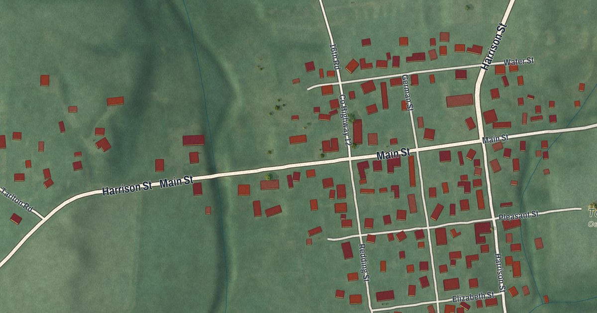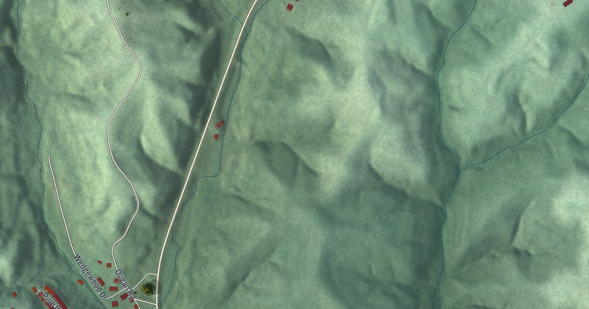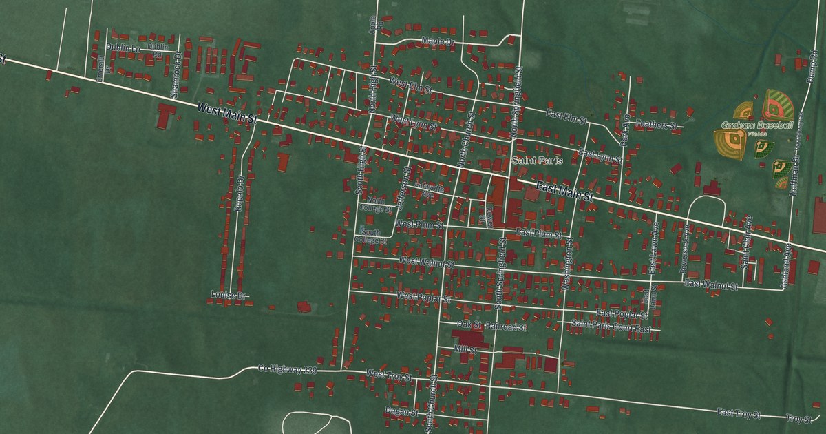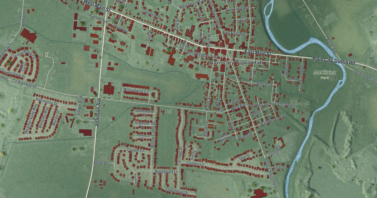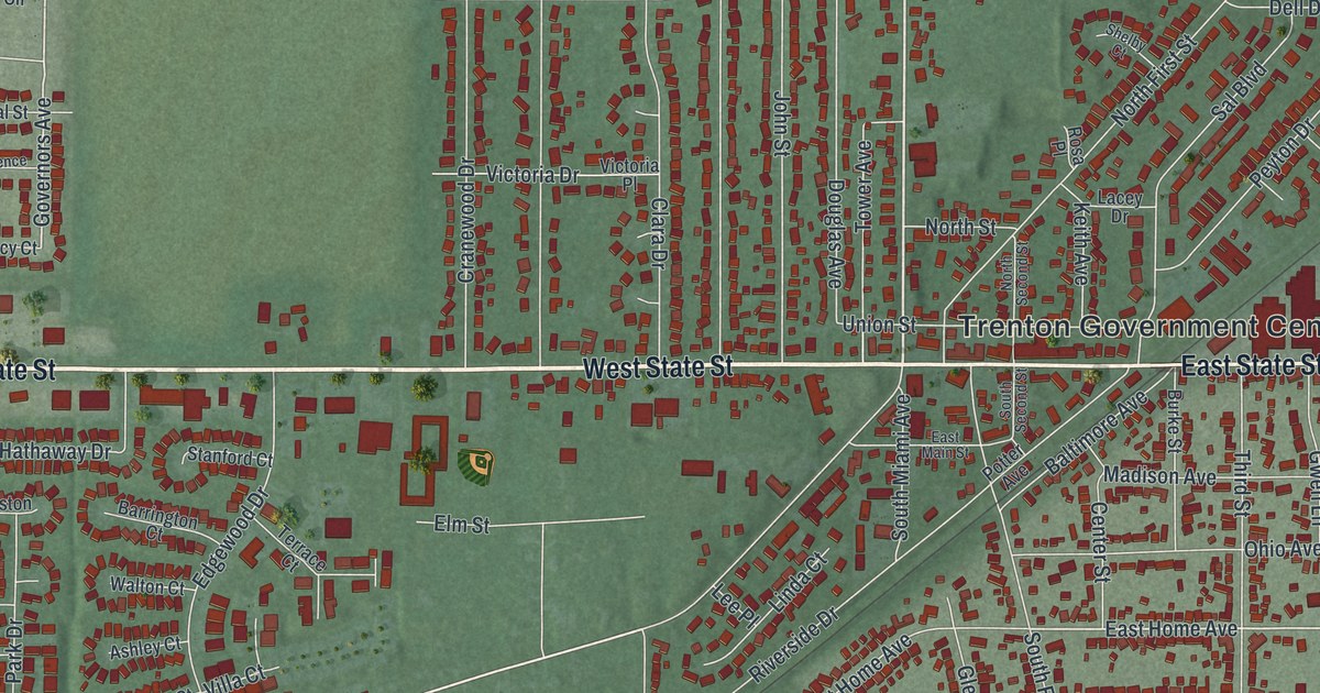
If you grew up in Trenton, or your family still lives off State Street, this map was made with you in mind. It's a modern aerial view of Trenton in Butler County, Ohio, drawn from modern data and given a vintage artistic feel. State Street runs straight across the middle of the sheet. Rows of homes fill the streets above and below it. Miltonville sits near the top, and a wide blue river curves along the right edge.
How Bloomfield Became Trenton
On this map you'll find West State Street, East State Street, North Miami Street, South Miami Avenue, Trenton Government Center, Miltonville, Hamilton Avenue, Oxford State Road, Woodsdale Road, Wayne Madison Road, Pierson Road, Edgewood Drive, Elk Creek Drive, Kennel Road, and more. Each red shape is a building, so zoom in on the preview and look for yours.
Trenton started out with a different name. Michael Pearce came to the area in 1801. His first village had 33 lots, and it was called Bloomfield. When the post office opened in 1820, it was named Trenton. The name honored Pearce's home state of New Jersey. That story comes from the Ohio marker at Founder's Park, at 4 East State Street. Pearce's son-in-law, Squier Littell, was the first doctor to live in Butler County. The marker stands in Founder's Park, at the corner of Miami Avenue and State Street.
From Farm Town to Grain Center on the Railroad
English families settled Trenton first, and Germans came by 1840. The railroad arrived in 1851, and the farm town became a grain center. In 1896, a franchise was granted to run electric interurban cars through the village. By 1991, the largest industries were Miller Brewing Company and Cinergy/Cincinnati Gas & Electric. Farm life left its mark too. The Christian Ehresman Farm on Woodsdale Road and the John Kennel Jr. Farm on Wayne Madison Road are on the National Register. Open green fields still wrap around the edges of the map.
State Street and Miltonville on One Print
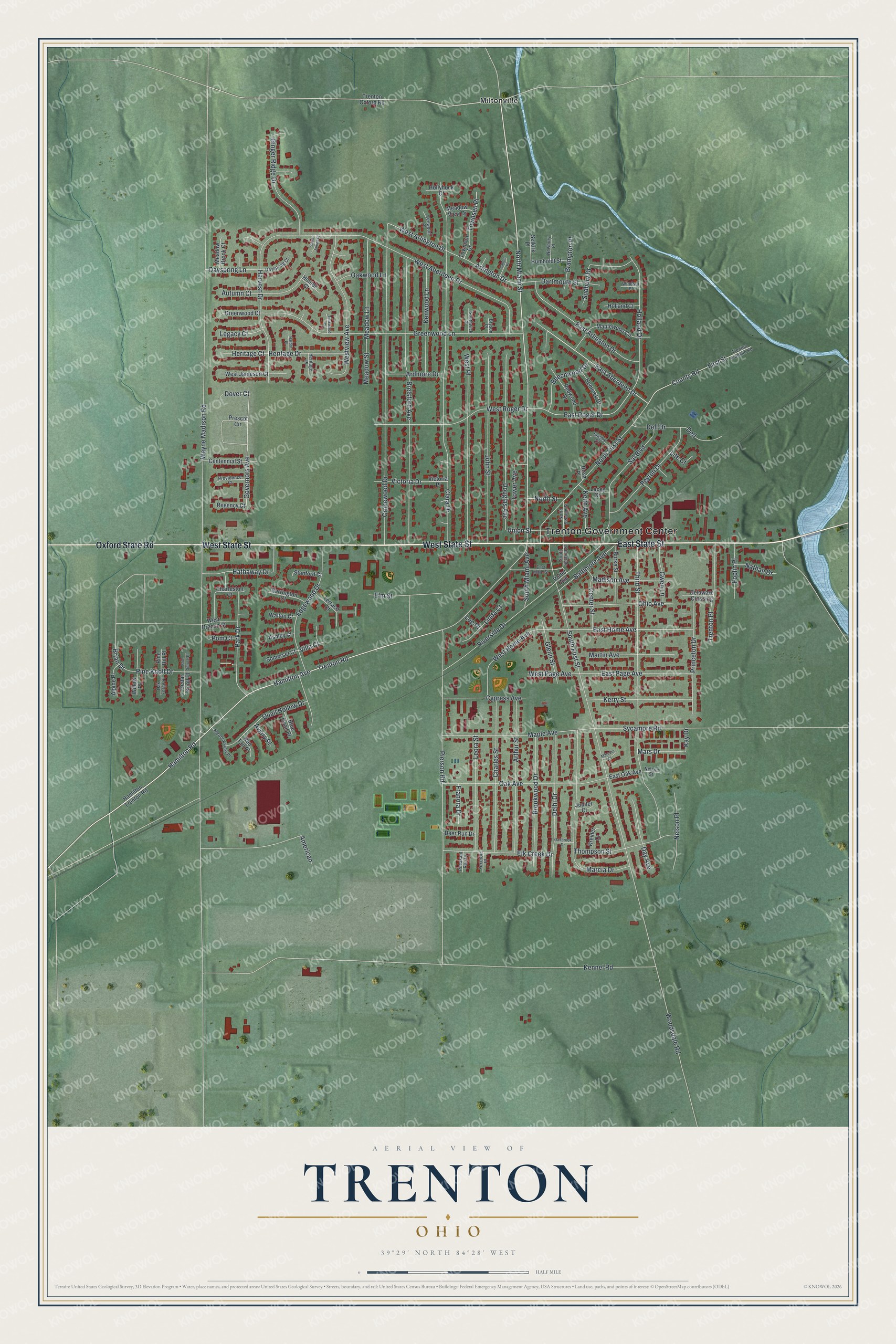
Created by KNOWOL in 2026, this print shows Trenton from above in soft greens, with buildings marked in deep red and the river in pale blue. The cream title panel at the bottom reads AERIAL VIEW OF TRENTON, OHIO, with the coordinates 39°29' NORTH 84°28' WEST.
It fits well in a living room, a home office or a hallway by the front door. It's a thoughtful gift for someone who grew up near Miltonville or along State Street and has since moved away. Open the preview and find the streets you know. See sizes and frames for the Trenton map.