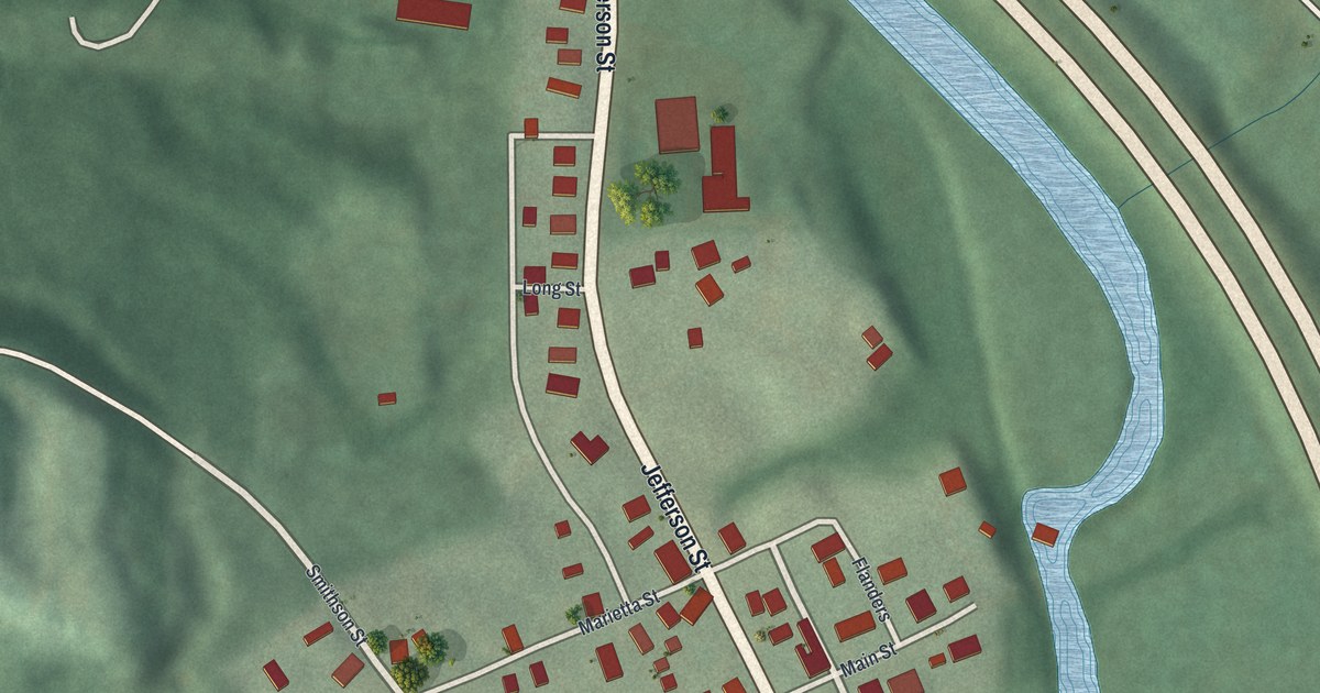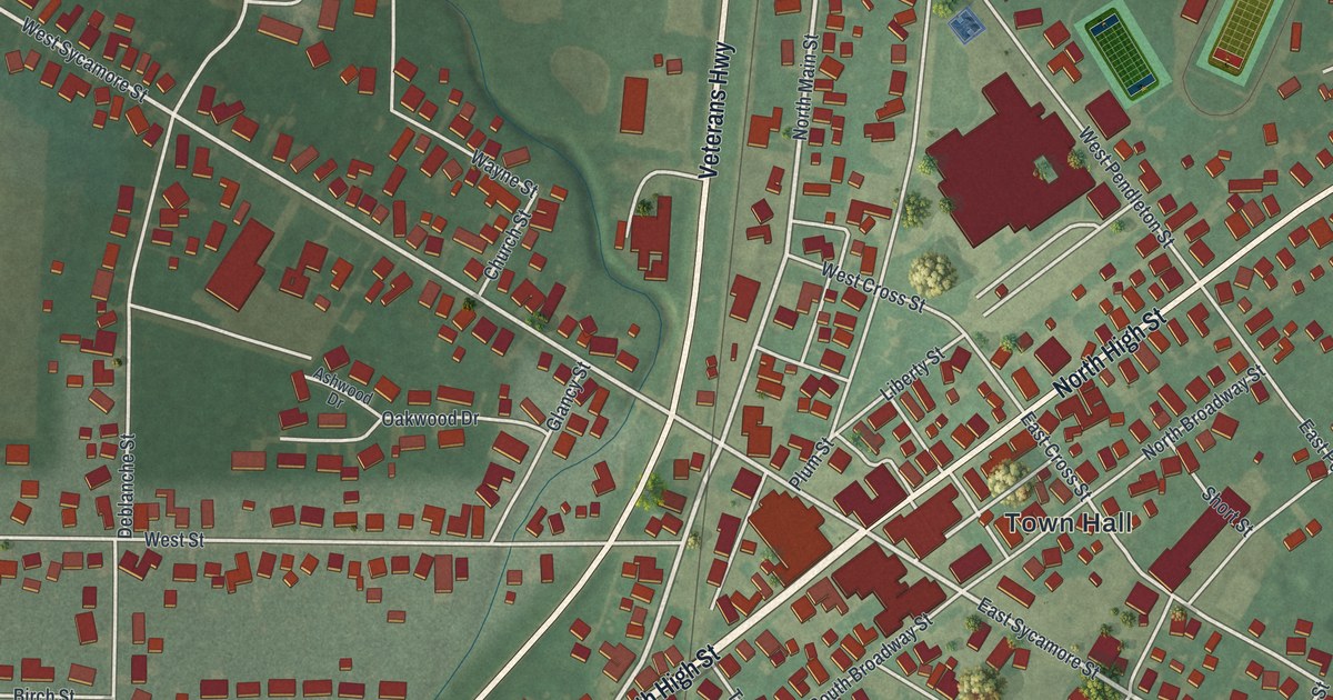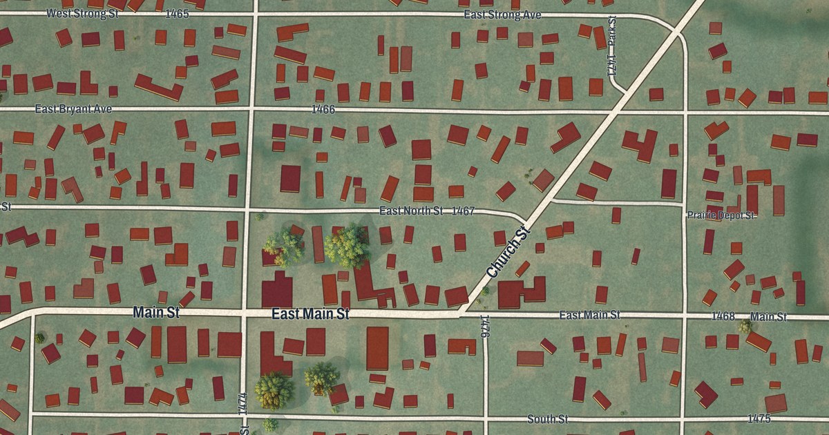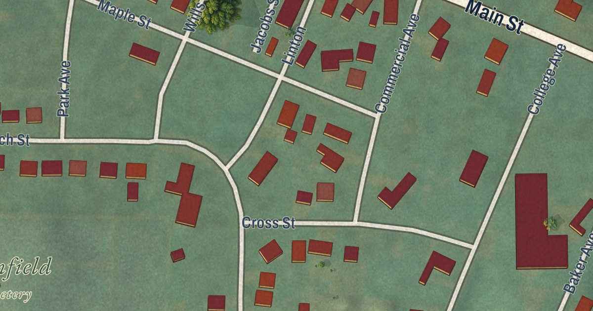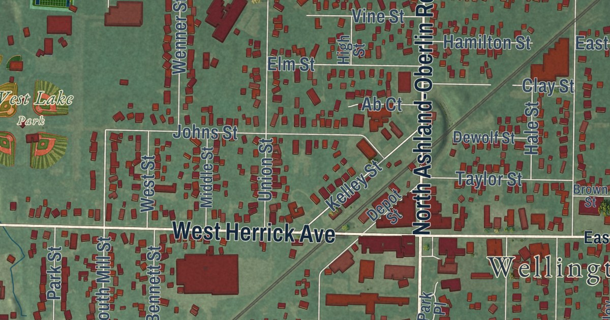
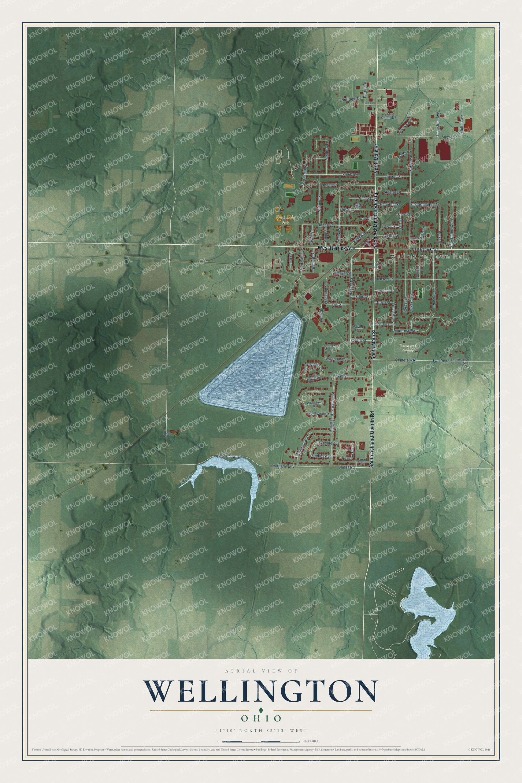
This beautifully detailed map of Wellington, Ohio was created in 2026 using aerial imagery combined with modern topographical, census, street and landmark data. It’s a one-of-a-kind view of Wellington that combines accurate data with a vintage aesthetic. The map shows every building in its true location, many of the roads carry their names, and the shaded topographic relief shows the shape of the land.
Explore an aerial view of Wellington, Ohio
On the map you’ll find Wellington Town Hall, Greenwood Cemetery, and West Lake Park, along with South Main Street, North Main Street, West Herrick Avenue, East Herrick Avenue, South Ashland-Oberlin Road, North Ashland-Oberlin Road, Magyar Street, South Mill Street, North Mill Street, and more. If you look closely you can even find your house accurately drawn in its correct location. Zoom in on the preview to look for yours.
Did you know this piece of Wellington, Ohio history?
In 1858, a crowd of white and Black men, many from Oberlin, surrounded a Wellington hotel. A U.S. Marshal held John Price there and meant to return him to slavery in Kentucky. The rescuers freed Price and helped him reach Canada. The event became known as the Oberlin-Wellington Rescue.
Take a closer look at the Wellington map
Street and place names on the Wellington, Ohio map
These names are printed on the map of Wellington, Ohio.
Places: Wellington Town Hall, Greenwood Cemetery and West Lake Park.
Streets and roads: South Main Street, North Main Street, West Herrick Avenue, South Ashland-Oberlin Road, North Ashland-Oberlin Road, Magyar Street, South Mill Street, North Mill Street, Findley Avenue, Parkside Street, Lakeside Avenue, County Highway 5.
More street names, A to Z
Ab Court, Adams Street, Barker Street, Bennett Street, Brookside Drive, Brown Street, Carpenter Street, Cemetery Road, Clay Street, Commerce Drive, Cornerstone Avenue, Courtland Street, Depot Street, Dewolf Street, Dickson Street, Dukes Avenue, East Hamilton Street, East Herrick Avenue, East Street, Elm Street, Erie Street, Forest Street, Fourth Street, Grand Avenue, Greenview Court, Grove Street, Hale Street, Hamilton Street, Heritage Drive, High Street, Industrial Avenue, Johns Street, Jones Road, Jones Street, Kelley Street, Kent Street, Lincoln Street, Maple Street, Marts Place, Mc Cormick Street, McKinley Street, Meadow Lane, Middle Street, Montrose Way, North Walden Lane, Northwoods Avenue, Orchard Lane, Park Place, Parkside Reserve Street, Park Street, Patriot Drive, Perry Street, Pitts Road, Pleasant Street, Prospect Street, Reserve Circle, Sheila Drive, Shiloh Avenue, South Street, South Walden Lane, Taylor Street, Twp Highway 5, Twp Road 58, Union Street, Vine Street, Waterfowl Court, Weber Court, Wenner Street, West Street, Wheeling Street, Willard Court, Woodland Avenue, Woodland Court, Woodland Street.
See the Wellington, Ohio map on a wall
The Wellington map as an 18 x 24 inch print in a black frame.

This beautifully detailed map of Wellington makes an attractive addition to your office, library, or den, and it can even be used to teach children the geography and history of the area. It also makes a great gift for anyone with Wellington roots. When you’re done exploring, click here to get your copy of the Wellington map.