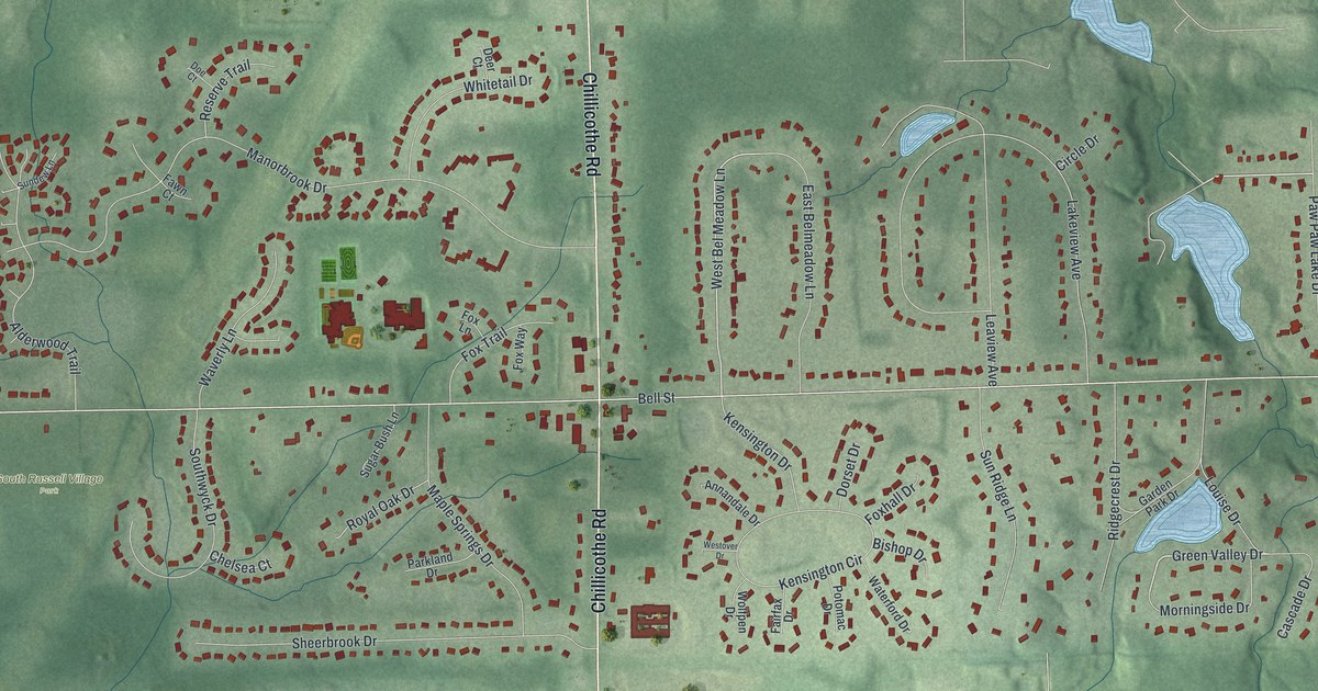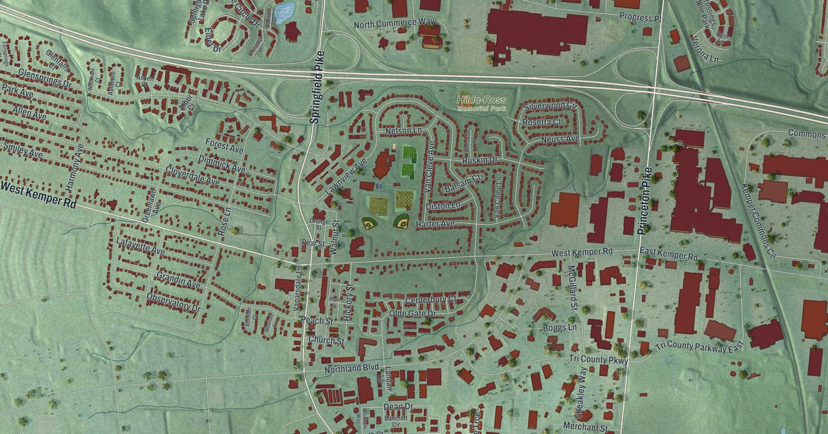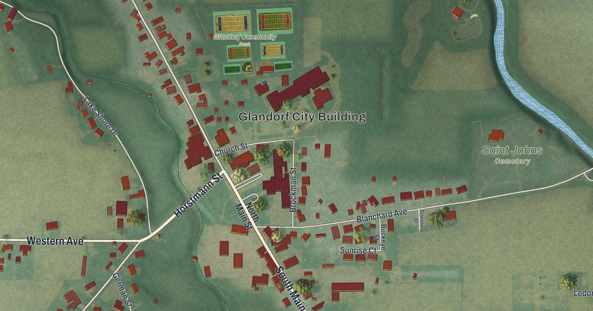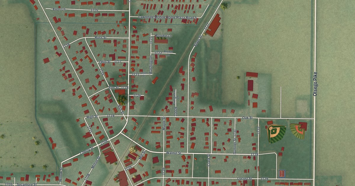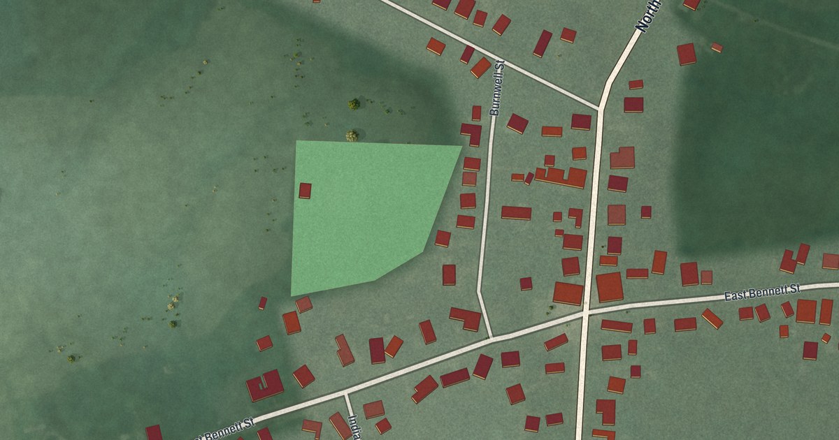
If you grew up in Woodstock or still have family near Main and Bennett Streets, this print shows your village from above. It's a modern aerial view of Woodstock in Champaign County, Ohio, made from modern data and given a vintage look. Main Street and Bennett Street cross in the middle of town. Red buildings line both roads, and green fields reach out to every edge.
Main Street, Bennett Street and more in Woodstock
On this map you'll find North Main Street, South Main Street, West Bennett Street, East Bennett Street, Urbana-Woodstock Road, Urbana Woodstock Pike, Flynn Street, Indianapolis Street, Burnwell Street, Co Highway 2, and more. Each red shape is a building, so zoom in on the preview and look for yours.
The Universalist Church on West Bennett Street
Woodstock's Universalist Church stands at 202 West Bennett Street, close to Main Street. Rev. George Messenger and his church members built the first Universalist church on this spot. It was dedicated in June 1844, while Universalists held their state convention in Woodstock. In 1893, Rev. John A. Carpenter helped get a new building started. That's the church standing there today. It was dedicated on Easter Sunday, April 14, 1895. Its front window honors the men of the 66th Ohio Volunteer Infantry. They were signed up in Champaign County during the Civil War. The Ohio History Connection marker at the church says Woodstock gave more of its sons to the Union cause, for its size, than any other town in the county.
When Lincoln's funeral train stopped in Woodstock
President Abraham Lincoln was shot on April 14, 1865. A train carried his body from Washington, D.C., home to Springfield, Illinois. After Columbus, Governor John Brough and others changed the route so it ran through Champaign County. The funeral train reached Woodstock on April 29 at 9:46 at night. It stopped for fuel, water and a short service. Nearly 500 people came out, and they laid flowers on Lincoln's coffin. The Woodstock Cornet Band, led by Warren U. Cushman, played hymns of grief. Village bells rang as the train pulled away downhill toward Cable and Urbana. A marker telling this story stands at the village cemetery on Urbana Woodstock Pike.
Keep North Main Street and West Bennett Street close
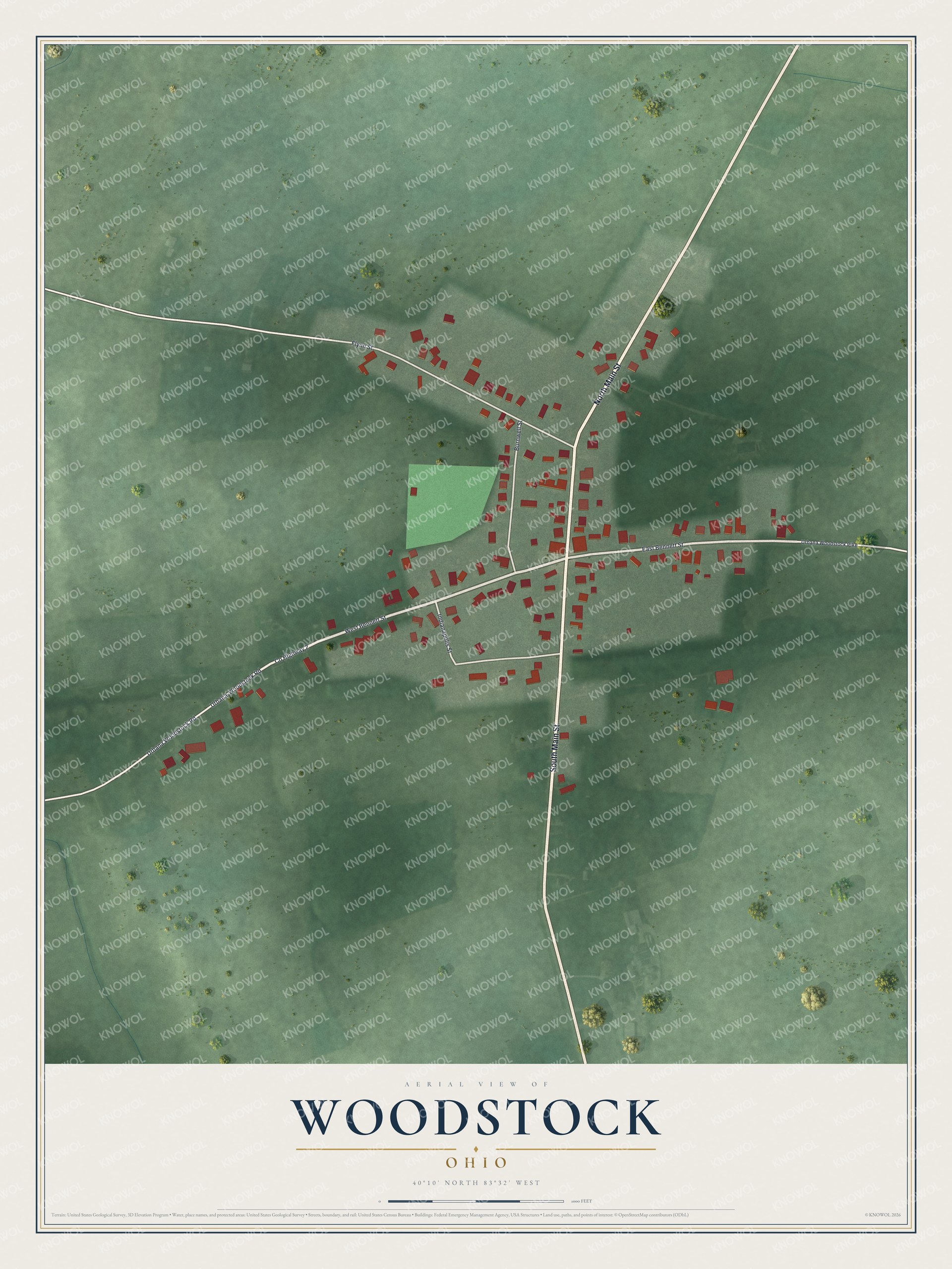
Created by KNOWOL in 2026, this print shows Woodstock from above in soft greens, with red buildings, pale roads and open fields out to the border. The title panel reads AERIAL VIEW OF WOODSTOCK, OHIO, with 40°10' NORTH 83°32' WEST printed below.
It fits a living room, a hallway or a farmhouse kitchen. It's a gift for someone who grew up near the Universalist Church on West Bennett Street, or who moved away and still thinks of Main Street. Open the preview and find the house you know. See sizes and frames for the Woodstock map.