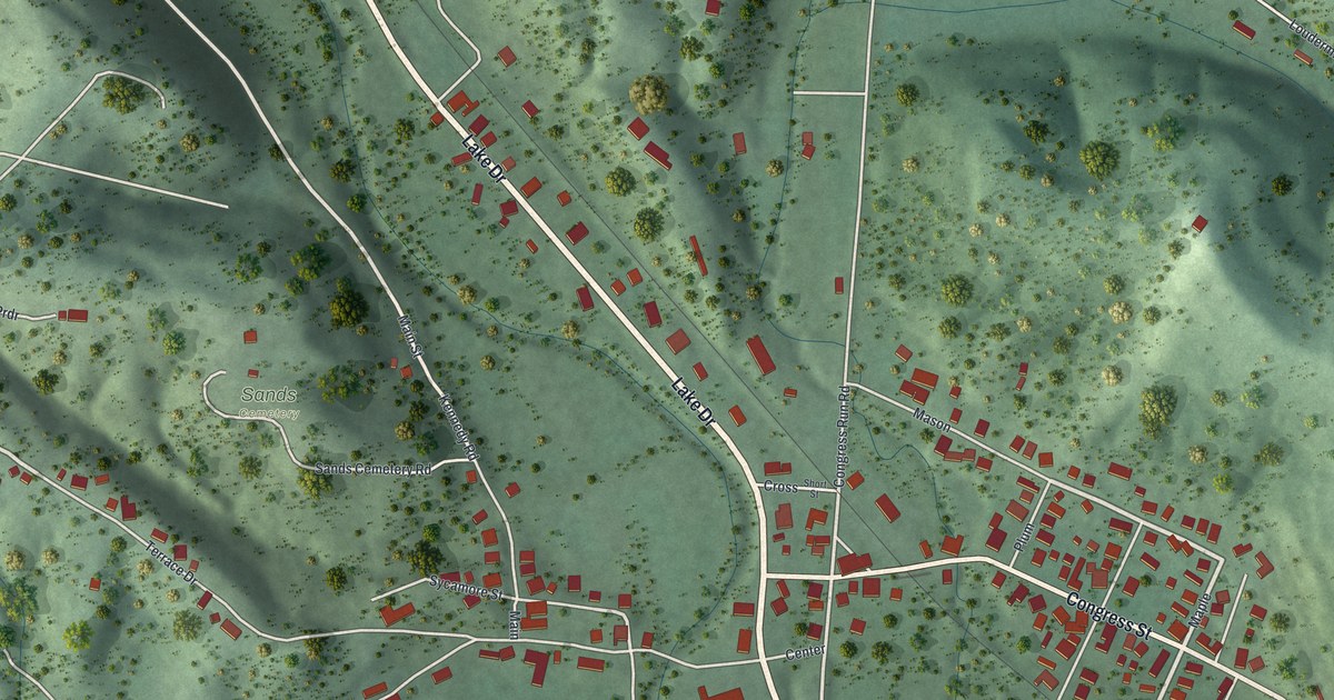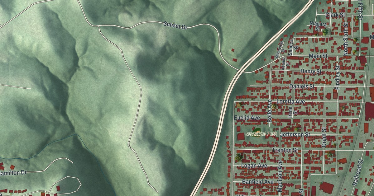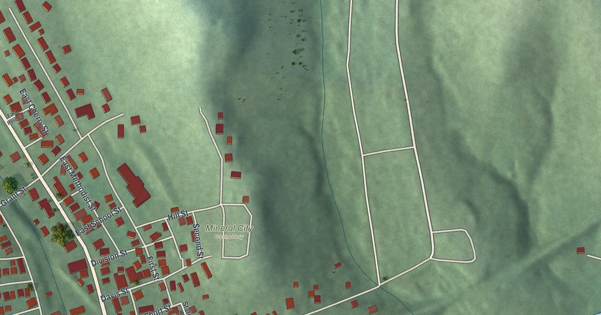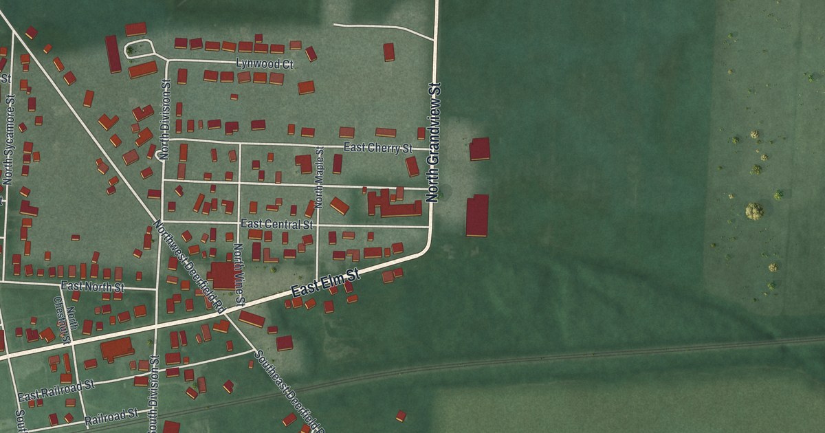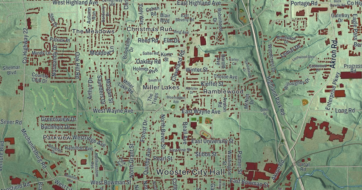
If you went to Wooster High School, studied at the College of Wooster, or grew up near Beall Avenue, this map has plenty for you to find. It's a modern aerial view of Wooster in Wayne County, Ohio, built from modern data and given a vintage look. More than 10,000 buildings are marked in dark red. The town fills a long valley, with green shaded hills on every side. Madisonburg sits at the top, Christmas Run and Forest Creek fill the middle, and Madison Hill sits near the bottom.
Wooster City Hall, Cleveland Road and Madison Avenue
On this map you'll find Beall Avenue, West Liberty Street, North Market Street, Madison Avenue, Cleveland Road, Burbank Road, Old Lincoln Way West, Quinby Avenue, College Avenue, Oldman Road, Wooster City Hall, Wooster Cemetery, Oak Hill Park, Christmas Run, Madisonburg, and more. Each red shape is a building, so zoom in on the preview and look for yours.
Charles Follis, the Black Cyclone from Wooster
Charles Follis was born in Virginia in 1879. His family moved to Wooster, and he went to Wooster High School. He helped start the school's football team. In 1901 he played baseball at the College of Wooster. He also played football for the Wooster Athletic Association. People called him "The Black Cyclone from Wooster." In 1904 he signed to play football for the Shelby Athletic Club. The Ohio historical marker for him says that made him the first African American pro football player.
Follis faced discrimination on the field and off it, and he was hurt many times. An injury ended his football days in 1906. He went on to play baseball for the Cuban Giants of Long Island. He died of pneumonia in 1910. He was 31. He's buried in Wooster Cemetery, beside Madison Avenue. His marker stands at Follis Field, at Wooster High School on Oldman Road, near Oak Hill Park.
For someone who knows Beall Avenue and Madison Hill
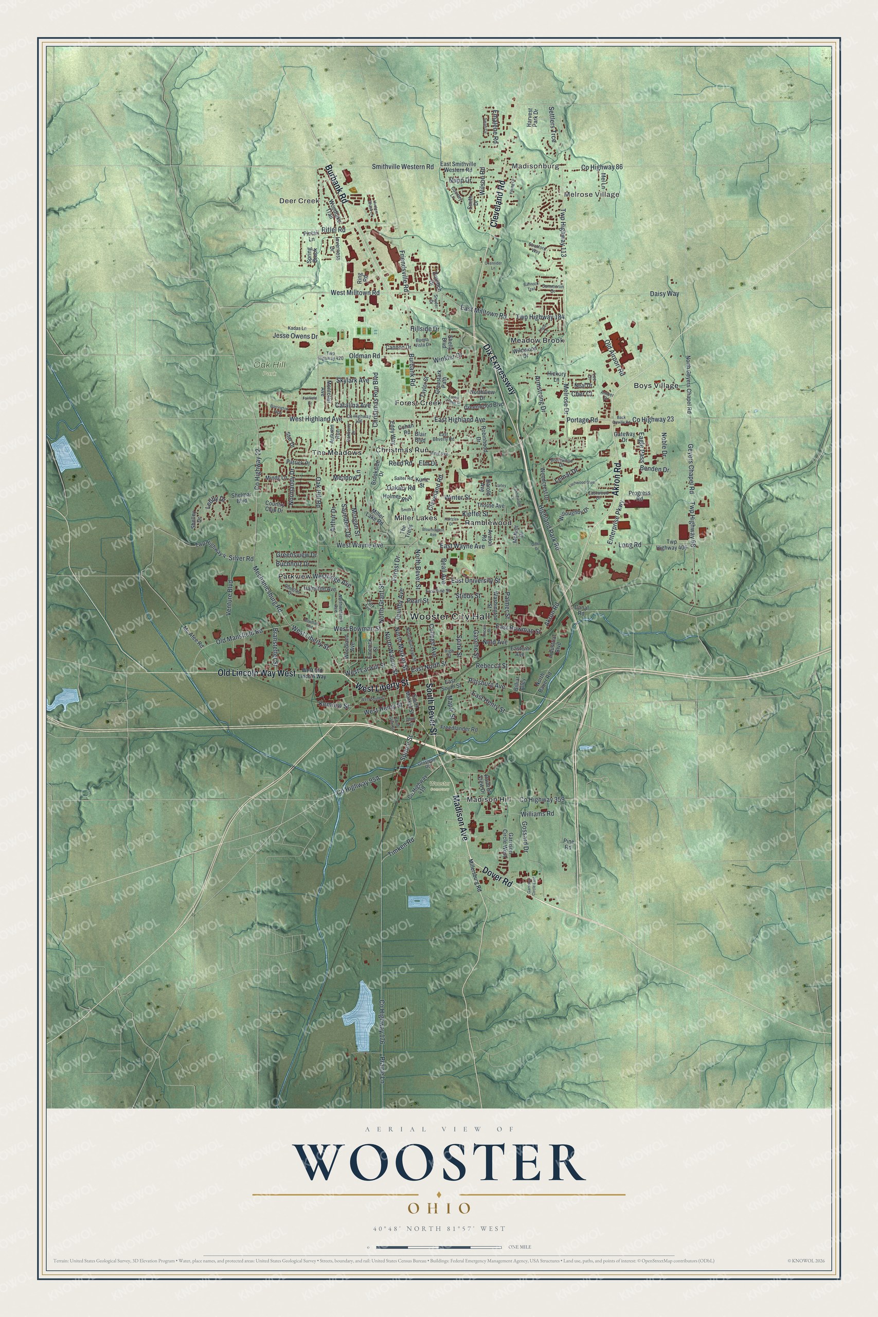
Created by KNOWOL in 2026, the Wooster print sets dark red buildings in a green valley. USGS elevation data gives the hills their shading. The streets come from Census Bureau records, and small lakes and ponds show in pale blue. The title panel at the bottom reads "Aerial View of Wooster, Ohio" above the coordinates 40°48' North 81°57' West and a one-mile scale bar.
Hang it in a den, a home office or a dorm room. It's a good gift for a Wooster High School grad, or for anyone who grew up near Christmas Run and moved away. Open the preview, start at Wooster City Hall and find your street. See sizes and frames for the Wooster map.