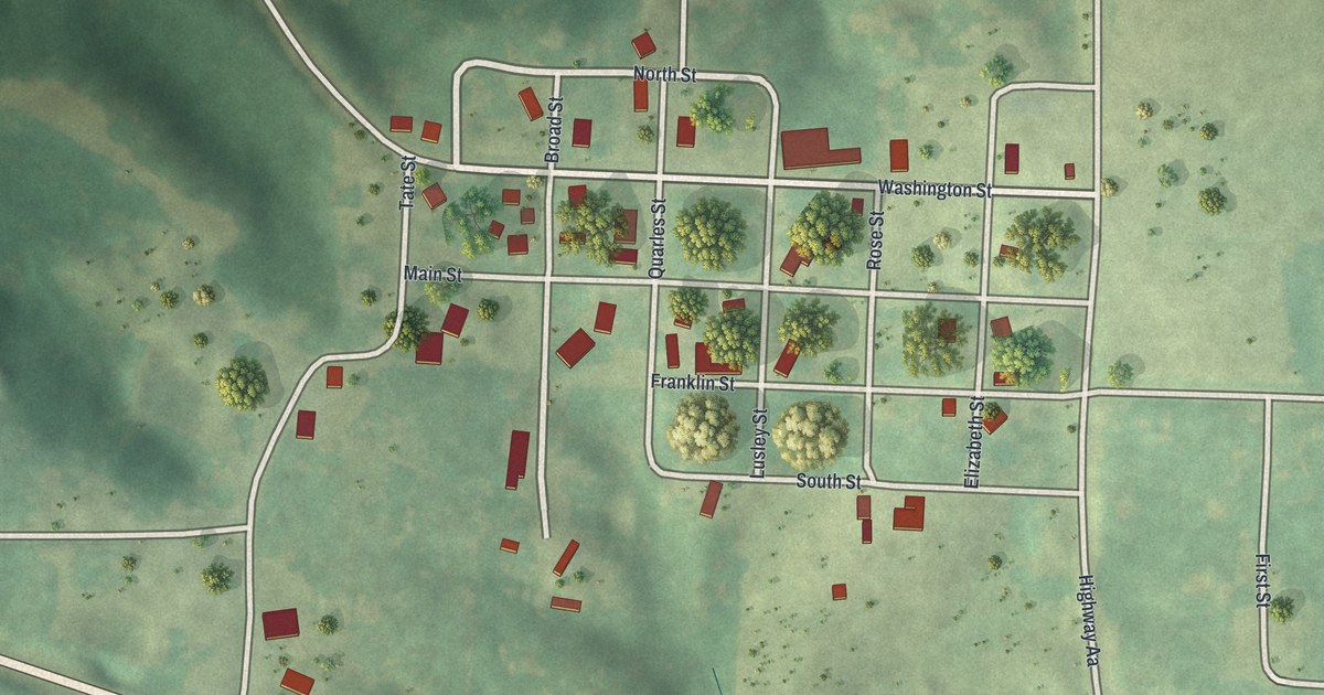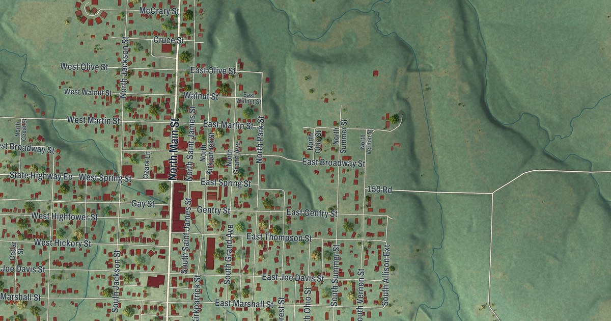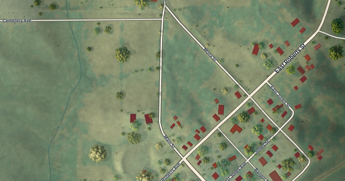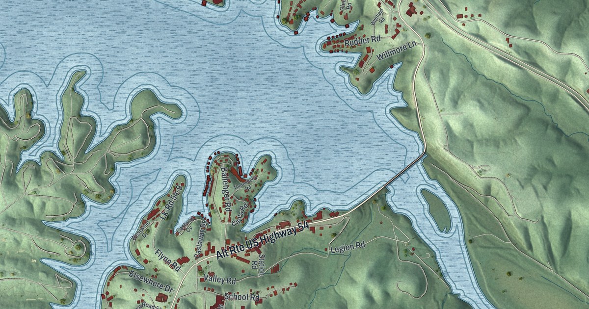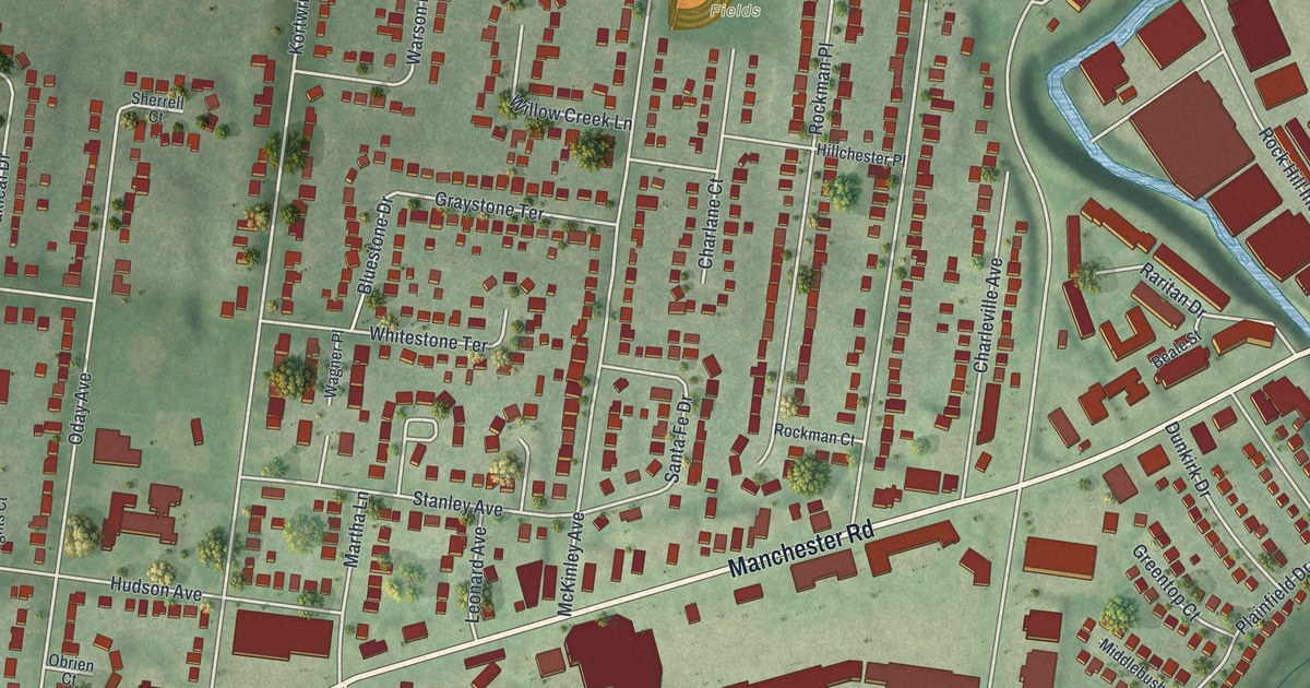
If you grew up on a street off Manchester Road in Rock Hill, this map was made for you. It's an aerial-style view with a warm vintage look, built from modern data, of Rock Hill in St. Louis County, Missouri. Small red shapes mark the buildings, block by block. Green hills roll under the streets, and a blue creek bends down the right side of the sheet near Rock Hill City Hall.
The Old Rock Hill Post Office
On this map you'll find Manchester Road, North Rock Hill Road, South McKnight Road, Old Warson Road, North Berry Road, Rock Hill City Hall, Oakhaven Park, Stroup Fields, Madison Avenue, Hudson Avenue, McKinley Avenue, Litzsinger Road, Charleville Avenue, Bismark Avenue, and more. Each red shape is a building, so zoom in on the preview and look for yours.
Rock Hill had its own post office long ago. The State Historical Society of Missouri keeps an old file of place names. People gathered it between 1928 and 1945. Its note on Rock Hill tells of a post office in the south-central part of Central Township. That post office closed in 1897. Today the town's name lives on in North Rock Hill Road and Rock Hill City Hall, both printed on the map.
Fairfax House on Manchester Road
Another piece of the past sits along Manchester Road. The National Register of Historic Places lists Fairfax House at 9401 Manchester Road, right here in Rock Hill. It was added to the list in 2004. Find Manchester Road on the print, and you'll be close to that stretch of town.
From Stroup Fields to Rock Hill City Hall
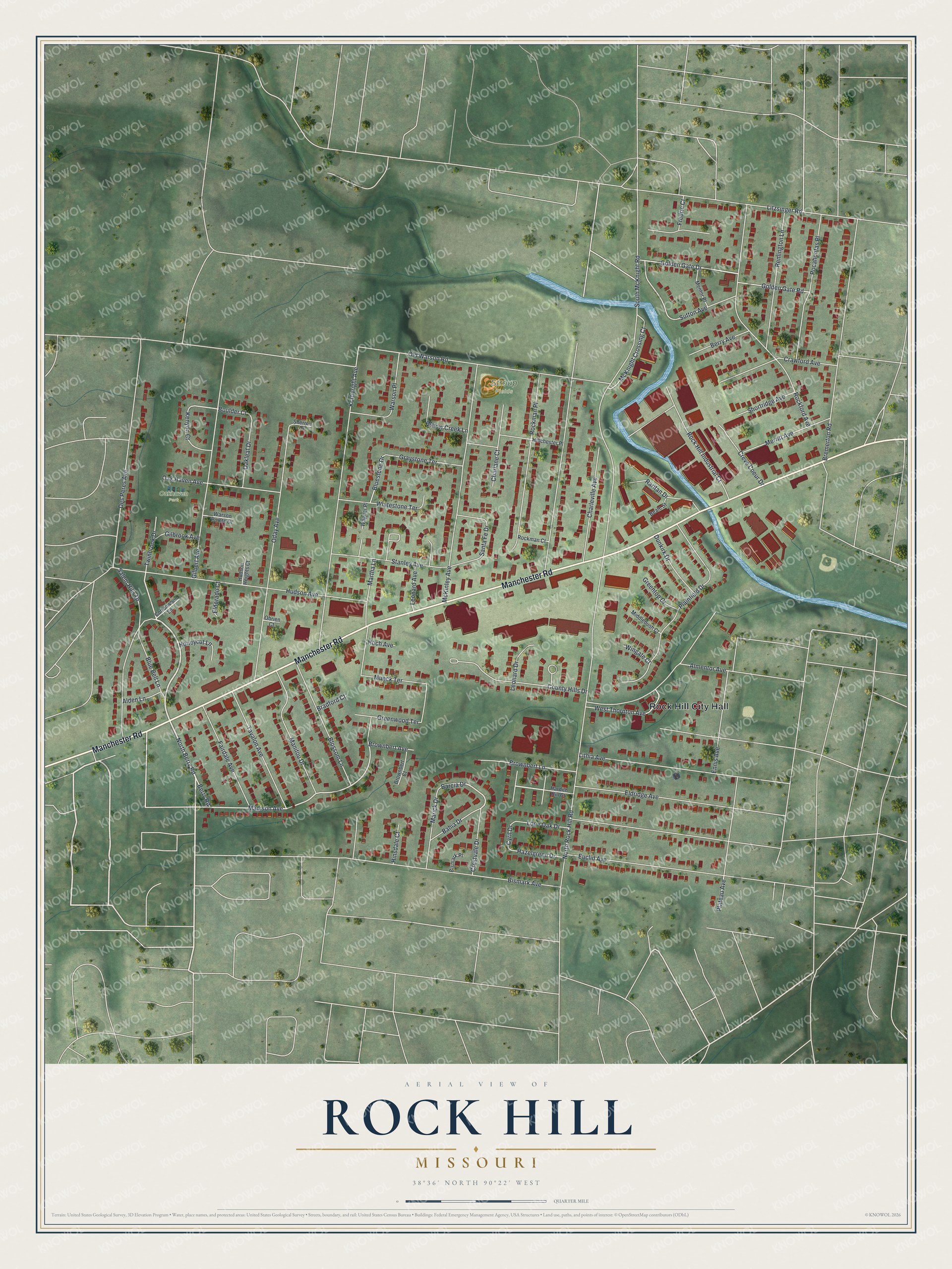
Created by KNOWOL in 2026, this print shows Rock Hill in soft greens, with buildings in deep red and a creek in blue. The title panel reads "Aerial View of Rock Hill, Missouri" with the coordinates 38°36' North 90°22' West.
It fits well in a hallway, a home office or a family room. It's also a kind gift for someone who grew up near Stroup Fields or Oakhaven Park and has since moved away. Open the preview and look for your own street. See sizes and frames for the Rock Hill map.