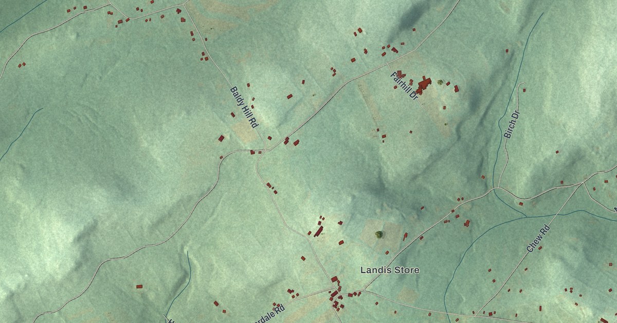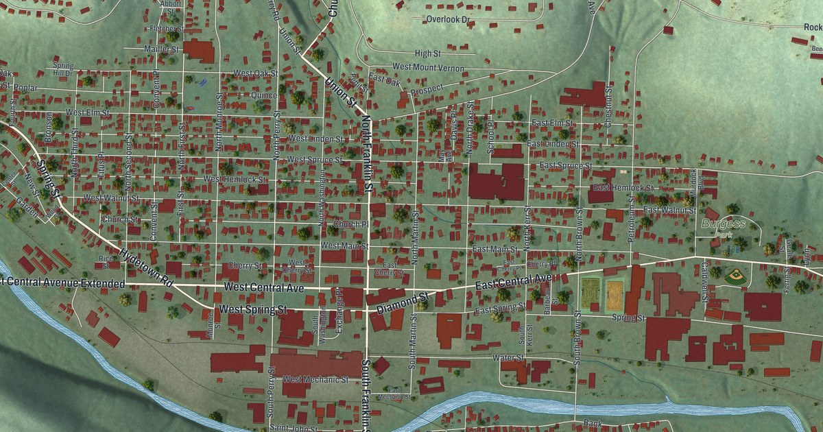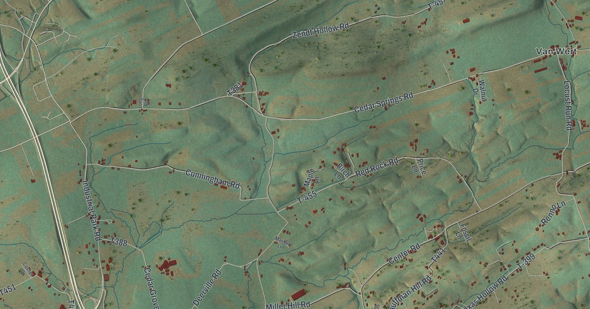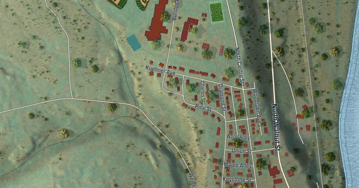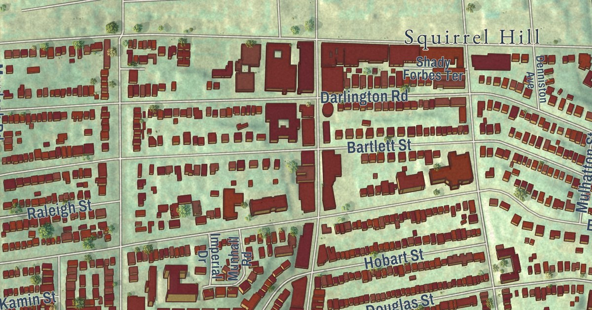
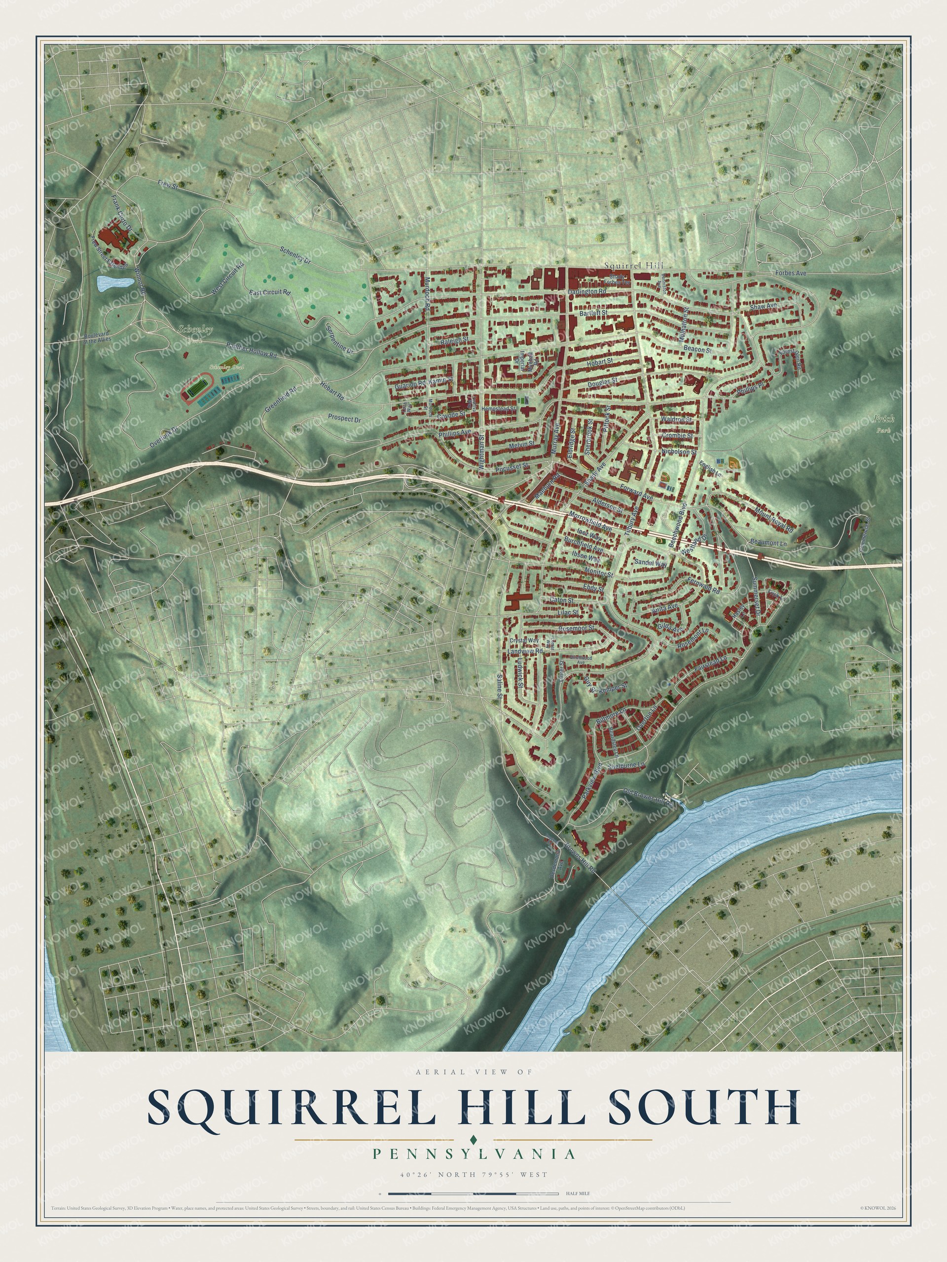
This beautifully detailed map of Squirrel Hill South, Pennsylvania was created in 2026 using aerial imagery combined with modern topographical, census, street and landmark data. It’s a one-of-a-kind view of Squirrel Hill South that combines accurate data with a vintage aesthetic. The map shows every building in its true location, many of the roads carry their names, and the shaded topographic relief shows the shape of the land.
Explore an aerial view of Squirrel Hill South, Pennsylvania
On the map you’ll find Frick Park, Schenley Park, Schenley Oval, Squirrel Hill, and Bob O’Connor Golf Course, along with Greenfield Road, Schenley Drive, Beechwood Boulevard, Overlook Drive, Parkview Boulevard, Hobart Road, Forbes Avenue, and more. If you look closely you can even find your house accurately drawn in its correct location. Zoom in on the preview to look for yours.
Take a closer look at the Squirrel Hill South map
Street and place names on the Squirrel Hill South, Pennsylvania map
These names are printed on the map of Squirrel Hill South, Pennsylvania.
Places: Frick Park, Schenley Park, Schenley Oval and Squirrel Hill.
Streets and roads: Greenfield Road, Schenley Drive, Beechwood Boulevard, Overlook Drive, Parkview Boulevard, Hobart Road, Forbes Avenue, Shady Avenue, Beacon Street, Forward Avenue, Bartlett Street, Darlington Road.
More street names, A to Z
Alderson Street, Anita Avenue, Beardsley Lane, Beaumont Lane, Biltmore Lane, Birchwood Avenue, Boulevard of the Allies, Browns Hill Road, Burchfield Avenue, Caton Street, Commercial Street, Covode Street, Crombie Street, Crystal Way, Denniston Avenue, Desdemona Avenue, Douglas Street, East Circuit Road, Ebdy Street, Eldridge Street, English Lane, Fairstead Lane, Fernwald Road, Forest Glen Road, Frank Curto Drive, Frew Street, Frew Street Extended, Frick Lane, Gilda Avenue, Guarino Road, Guy Street, Hasley Lane, Hempstead Street, Hobart Street, Ibsen Way, Imogene Road, Imperial Drive, Inez Way, Kamin Street, Kemper Street, Landview Road, Leith Way, Lilac Street, Lomar Way, Ludwick Street, Luster Street, Maeburn Road, Melvin Street, Monitor Street, Morrowfield Avenue, Mount Royal Road, Mulhatton Street, Munhall Road, Murdoch Road, Murduch Street, Murray Avenue, Nicholson Street, Old Browns Hill Road, Overton Lane, Panther Hollow Road, Phillips Avenue, Phillips Place, Pittock Street, Pocusset Street, Prospect Drive, Raleigh Street, Rosemont Lane, Rosemoor Street, Saline Street, Sandel Way, Serpentine Drive, Shady Forbes Terrace, Shaw Avenue, Shelburne Lane, Sherbrook Street, Summerset Drive, Tilbury Avenue, Waldron Street, West Circuit Road, Westland Drive, Wightman Street, Wilmot Road, Yeshiva Way.
See the Squirrel Hill South, Pennsylvania map on a wall
The Squirrel Hill South map as an 18 x 24 inch print in a black frame.

This beautifully detailed map of Squirrel Hill South makes an attractive addition to your office, library, or den, and it can even be used to teach children the geography and history of the area. It also makes a great gift for anyone who grew up in Squirrel Hill South or moved away. When you’re done exploring, click here to get your copy of the Squirrel Hill South map.