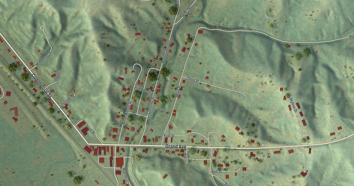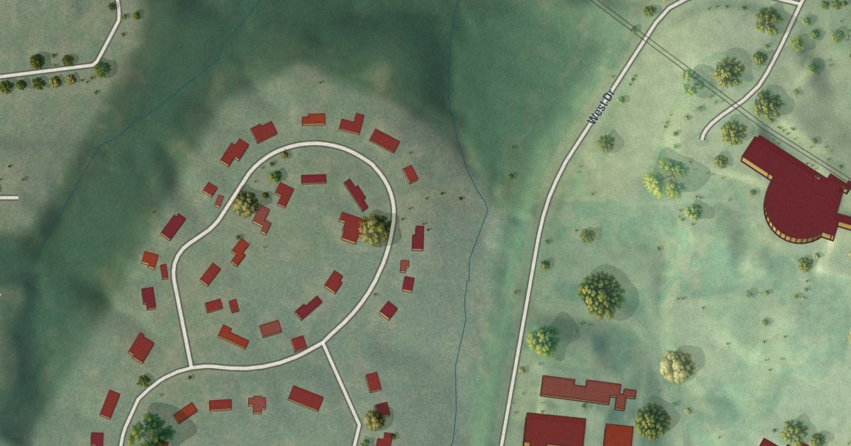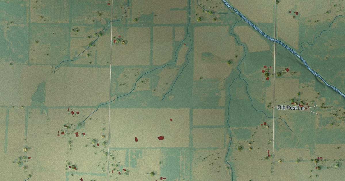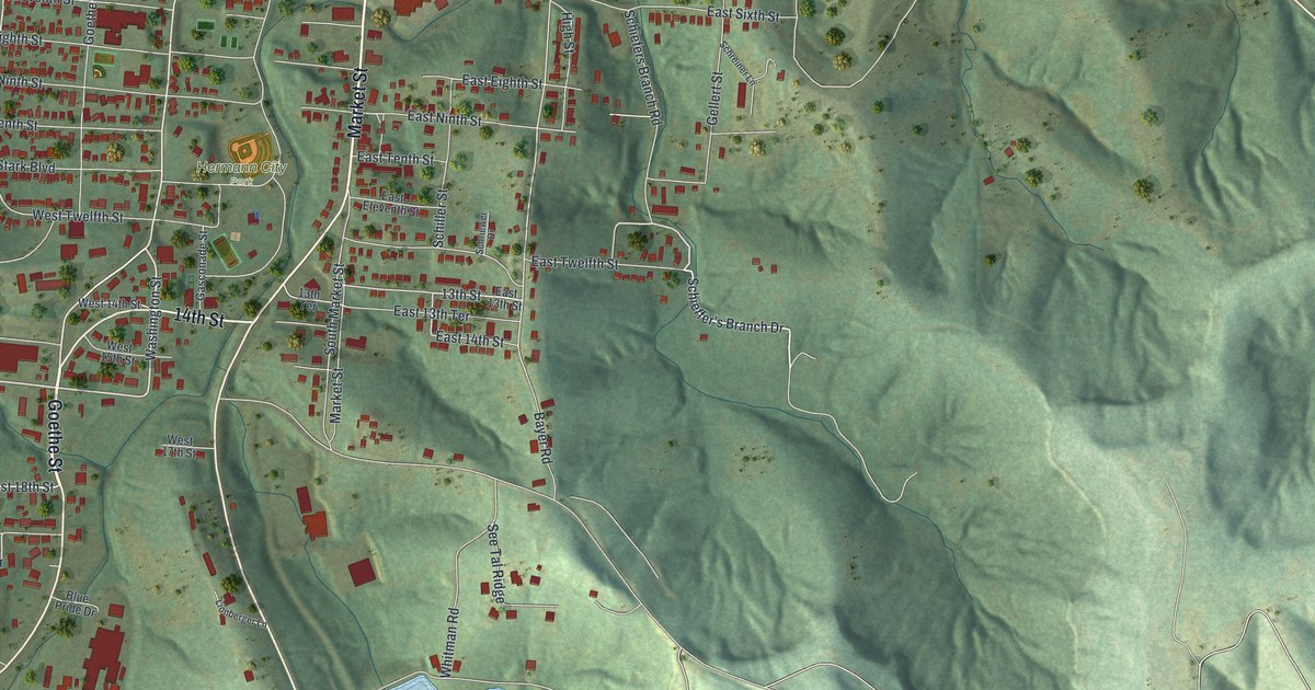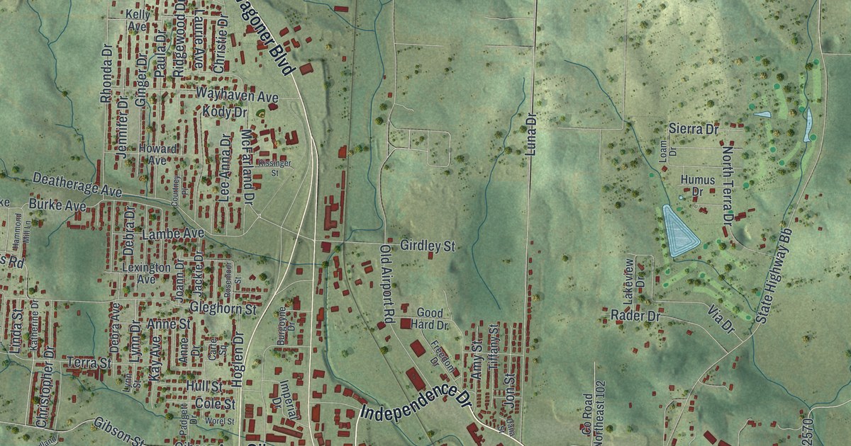
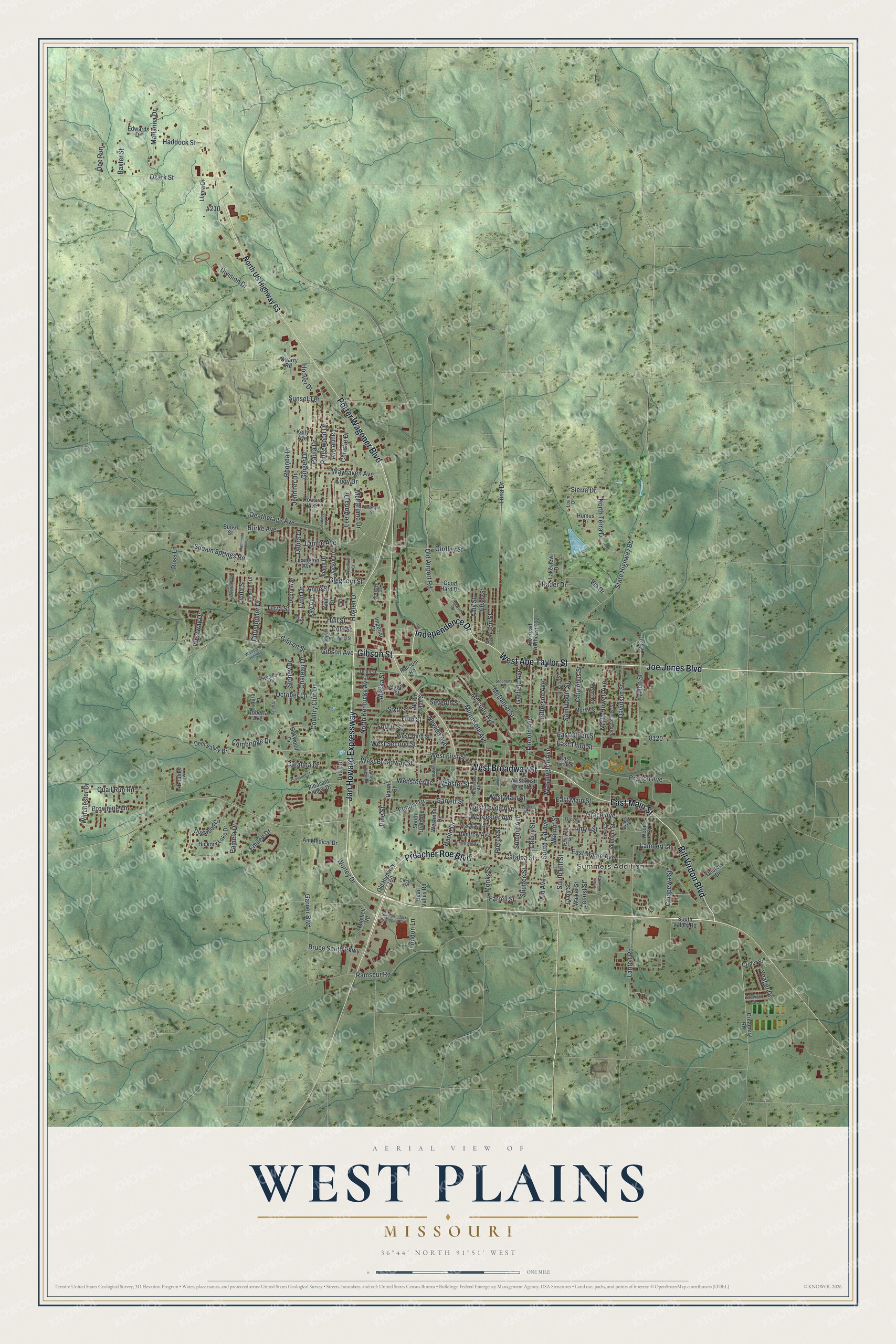
If you grew up in West Plains, or you still think of Washington Avenue and East Main Street as downtown, this map is for you. It's a modern aerial view of West Plains in Howell County, Missouri, made from modern data and given a vintage look. The town sits in the middle of the sheet, with green hills rising on every side. Thin blue creeks wind through the valleys. Red buildings crowd the old streets downtown and thin out along the highways at the edges.
Old Buildings on Washington Avenue and East Main Street
On this map you'll find Washington Avenue, East Main Street, West Main Street, West Broadway Street, Missouri Avenue, Jan Howard Expressway, Porter Wagoner Boulevard, Preacher Roe Boulevard, Bill Virdon Boulevard, Joe Jones Boulevard, West Abe Taylor Street, Gibson Street, North US Highway 63, Summers Addition, and more. Each red shape is a building, so zoom in on the preview and look for yours.
West Plains is an old town. The State Historical Society of Missouri says that in 1849 or 1850 the town was surveyed and given its name. Five buildings here are now on the National Register of Historic Places. Three of them stand close together downtown. The West Plains Bank Building is at 107 Washington Avenue. The W.J. and Ed Smith Building is right next door, at 109 to 113 Washington Avenue. The Elledge Arcade Buildings are a few steps away. All three were listed in 2001.
The Masonic Temple and the Shoe Company Building
Two more were added in 2011. The Mount Zion Lodge Masonic Temple is at 304 East Main Street. The International Shoe Company Building is at 665 Missouri Avenue. On the map, look near Washington Avenue and East Main Street for the Masonic Temple and the red buildings around the three from 2001. The Shoe Company Building is up on Missouri Avenue.
Keep West Plains and Washington Avenue Close
Names on this map
These names are printed on this map.
Places: Summers Addition.
Streets and roads: Jan Howard Expressway, Bill Virdon Boulevard, East Main Street, Joe Jones Boulevard, West Broadway Street, West Abe Taylor Street, Independence Drive, Gibson Street, Preacher Roe Boulevard, Porter Wagoner Boulevard, Harlin Drive, Washington Avenue.
More street names, A to Z
Aid Avenue, Air Medical Drive, Alaska Street, Allen Street, Amy Street, Amyx Street, Anne Drive, Anne Street, Armstrong Avenue, Baxter Street, Bear Valley Road, Boulder Drive, Bratton Avenue, Browning Lane, Bruce Smith Parkway, Burgoyne Drive, Burke Avenue, Burke Street, Caldwell Street, Cambridge Drive, Carte Square, Catalina Drive, Catalpa Street, Chateau Drive, Cherry Street, Chippewa Street, Christie Drive, Christopher Drive, Circle Drive, Cole Street, Columbus Street, Country Club Drive, County Road Northeast 102, Courtney Place, Crawford Street, Creamery Road, Crider Street, Curry Street, Dana Street, Davidson Street, Davis Drive, Deatherage Avenue, Debra Avenue, Debra Drive, Deer Valley Drive, Division Drive, Doctors Drive, Doe Run, Dogwood Circle, East First Street, East Maple Avenue, East Olden Street, East Third Street, Edwards Drive, Eighth Street, Elmore Drive, Emilee Drive, Evans Street, Farrell Street, Fifth Street, Fourth Street, Franklin Avenue, Freedom Drive, Garfield Avenue, Garner Boulevard, Garrett Street, Gibson Avenue, Ginger Drive, Girdley Street, Gleghorn Street, Good Hard Drive, Grace Avenue, Grove Street, Haddock Street, Halstead Street, Hammond Mill Lane, Harms Street, Hickory Lake Drive, Hoglen Drive, Hoover Drive, Howard Avenue, Hull Street, Humus Drive, Hynes Street, Imperial Drive, Jackie Drive, Jackson Street, Jefferson Avenue, Jennifer Drive, Joann Drive, Johnson Street, Jon Street, Katherine Drive, Kay Avenue, Kelly Avenue, Kissinger Street, Kody Drive, Lakeview Drive, Lambe Avenue, Lambert Lane, Lanton Road, Laura Lane, Laurie Avenue, Lee Anna Drive, Lexington Avenue, Leyda Avenue, Lincoln Avenue, Linda Street, Llama Drive, Loam Drive, Locust Street, London Lane, Luna Drive, Lynn Drive, Lynn Street, Marianna Drive, McDaniel Street, McFarland Drive, Meadowbrook Drive, Minnesota Avenue, Missouri Avenue, Mitchell Road, Monks Street, Myrtle Street, Nebraska Avenue, Nevada Avenue, North College Street, North Howell Avenue, North Kentucky Avenue, North Terra Drive, North US Highway 63, North Utah Street, Oakwood Drive, October Lane, Old Airport Road, Old Highway 160, Ozark Street, Padgett Drive, Pamela Drive, Paula Drive, Pearl Circle, Pierce Street, Pine Street, Pleasant Valley Drive, Quail Run Road, Quarry Road, Rader Drive, Ramseur Road, Ransom Road, Renfrow Avenue, Rhonda Drive, Ridgewood Drive, Roberta Avenue, Rosemoor Street, Ross Lane, Saint Louis Street, Sarah Street, Seventh Street, Shuttee Street, Sierra Drive, Siloam Springs Road, Sixth Street, South Aid Avenue, Southern Hills Shopping Ctr, South Hill Street, South Howell Avenue, South Utah Avenue, South Valley Road, State Highway Bb, Stephens Street, Stewart Street, Stoney Drive, Summit Avenue, Sunset Terrace, Sycamore Drive, Tenth Street, Terra Street, Tiffany Street, Valley View Drive, Via Drive, Walker Street, Walnut Street, Wayhaven Avenue, Webster Avenue, Webster Street, West First Street, West Leyda Avenue, West Main Street, Westmont Drive, West Second Street, West Third Street, West Trish Knight Street, Westway Drive, Winchester Drive, Woodland Avenue, Woodland Hieghts, Woods Street, Worcester Avenue, Worel Street, Worley Drive, Yeager Drive.
Created by KNOWOL in 2026, this print shows West Plains over soft green hills with shaded ridges and blue creeks. Buildings are drawn in deep red, and street names are printed in small dark letters. The cream title panel at the bottom reads Aerial View of West Plains, Missouri, 36°44' North 91°51' West.
It fits a living room, a front hall or an office wall. It's a good gift for someone who grew up near Washington Avenue and moved away, or for a family with roots in Howell County. Open the preview and find your street. See sizes and frames for the West Plains map.