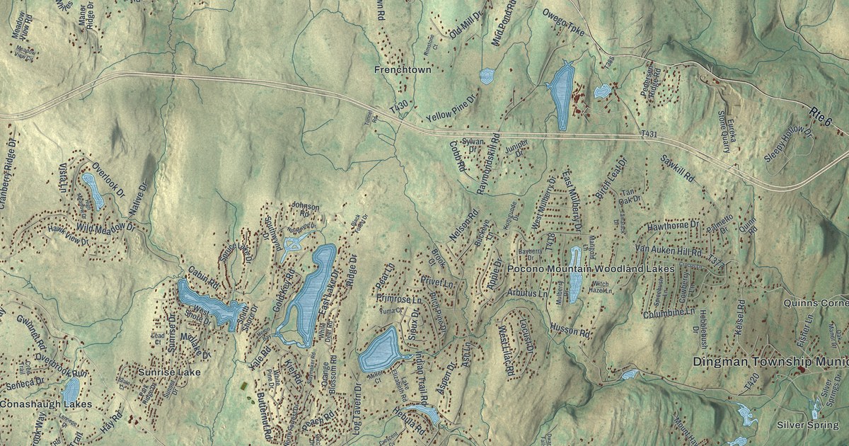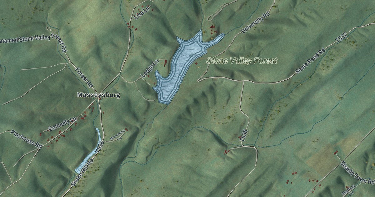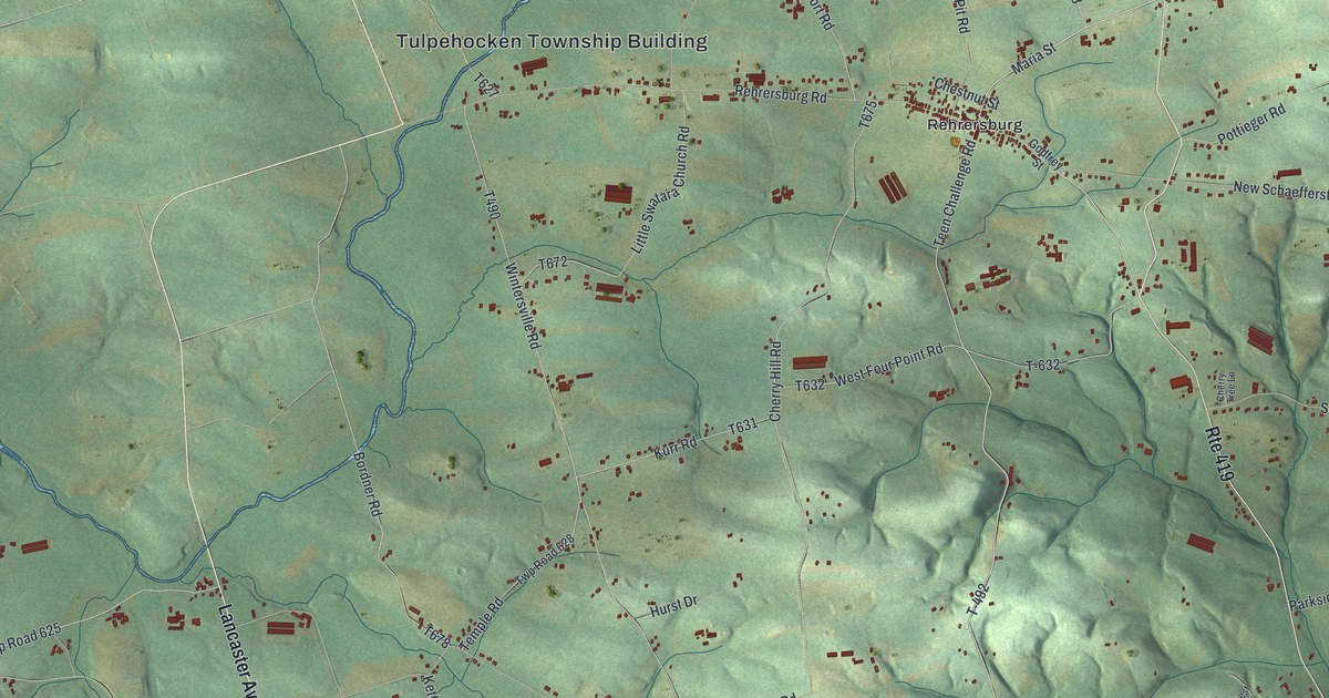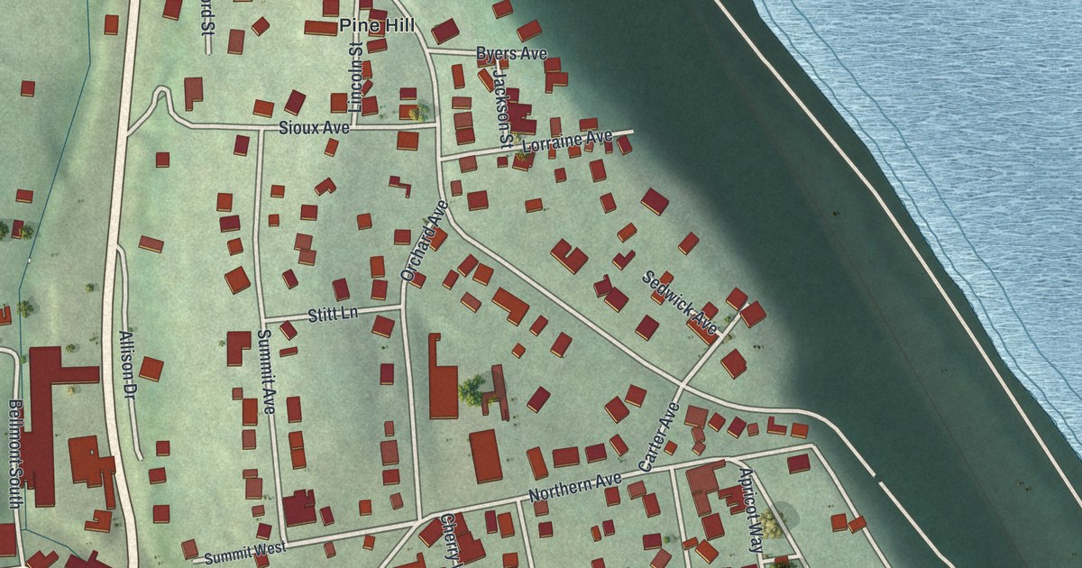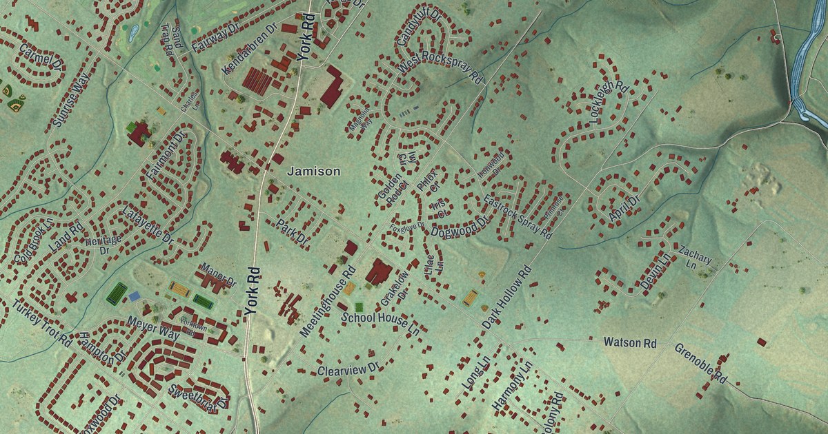
If you grew up in Jamison, Hartsville or Bridge Valley, or you still drive York Road most days, this map is for you. It's a modern aerial view of Warwick Township in Bucks County, Pennsylvania, made from modern data and given a vintage artistic feel. Green hills are shaded by the shape of the land. Two blue creeks wind across the sheet. More than 13,000 small red shapes mark the buildings in between.
Washington's Headquarters on Old York Road in Hartsville
On this map you'll find York Road, Old York Road, Almshouse Road, Bristol Road, Jamison, Hartsville, Bridge Valley, Traymore, Dark Hollow, Meetinghouse Road, School House Lane, Sugar Bottom Road, Turkey Trot Road, Guinea Lane, and more. Each red shape is a building, so zoom in on the preview and look for yours.
Warwick's best-known story comes from the summer of 1777. A state historical marker stands at the Moland House, at 1641 Old York Road in Hartsville. It says the house was General Washington's headquarters from August 10 to 23, 1777. That was during the Neshaminy encampment of 11,000 troops. On August 21, the Marquis de Lafayette served here for the first time as a major general, at a council of war. Count Casimir Pulaski of Poland also met Washington for the first time in this house. Pulaski later led the mounted troops. He's remembered as the Father of the American Cavalry. The Moland House was added to the National Register in 1989. To find its spot, look near the Hartsville label.
How the Forks of Neshaminy Became Warwick
An 1876 history of Bucks County says early settlers called this land the Forks of Neshaminy. Most of it lay between the two branches of Neshaminy Creek, which meet in the township's southeast corner. The two blue creeks on this map show that shape well. In February 1733, twenty people living here asked the court to make a township called Warwick. Three of them were Jamisons. The family was Scotch-Irish, and Henry Jamison came to America around 1720. The same history mentions Jamison's corner, and today Jamison is printed near the middle of the map.
From Bridge Valley to Hartsville
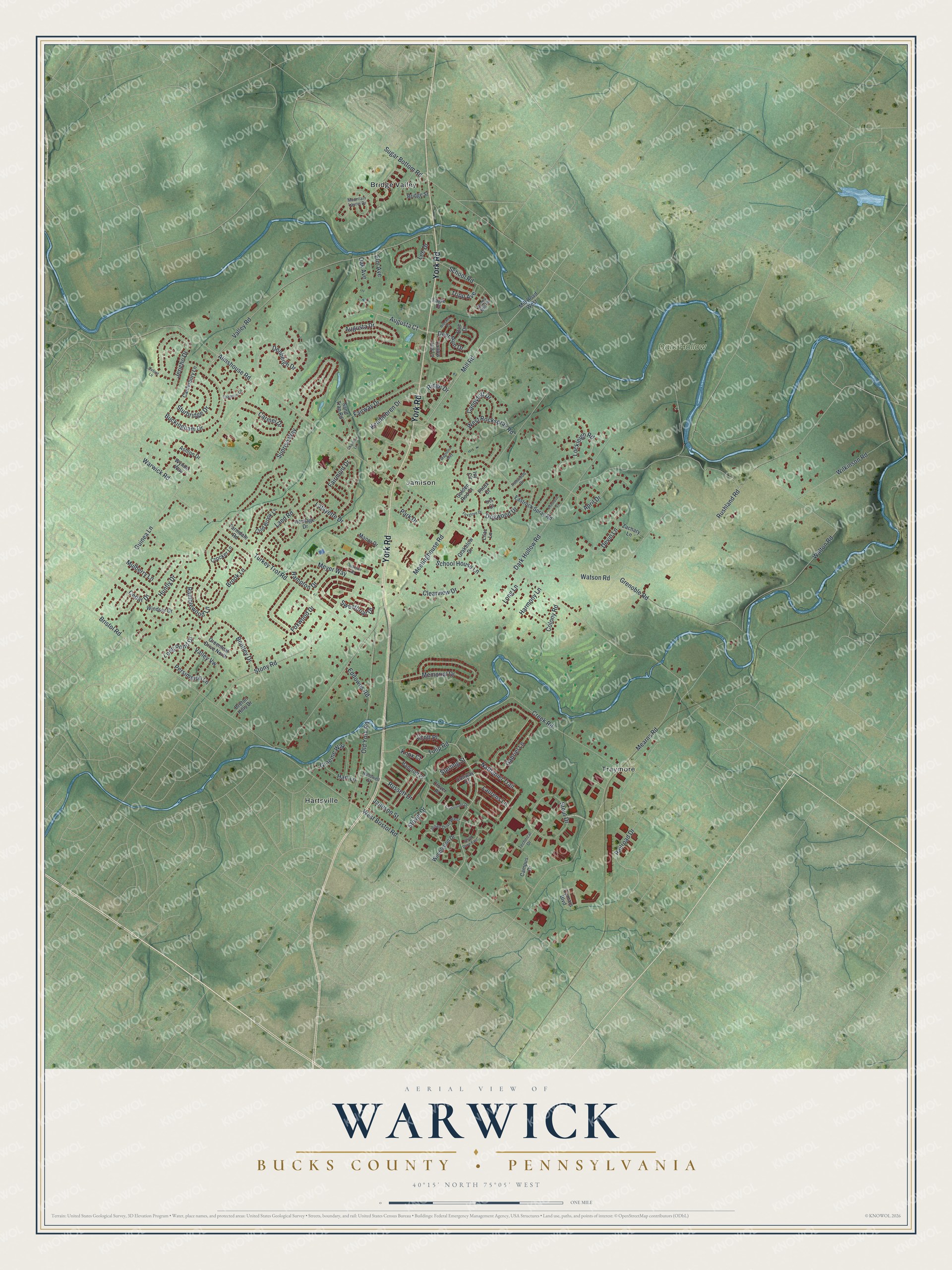
Created by KNOWOL in 2026, this print shows Warwick from above in soft greens and blues, with shaded hills, winding creeks and red buildings. The title panel at the bottom reads Aerial View of Warwick, Bucks County, Pennsylvania, with the coordinates 40°15' North 75°05' West.
It fits a living room, a home office or the hallway by the front door. It makes a thoughtful gift for someone who grew up near the Moland House and moved away, or for a family that just bought a home off Almshouse Road. Open the preview and find your own street. See sizes and frames for the Warwick, Bucks County map.