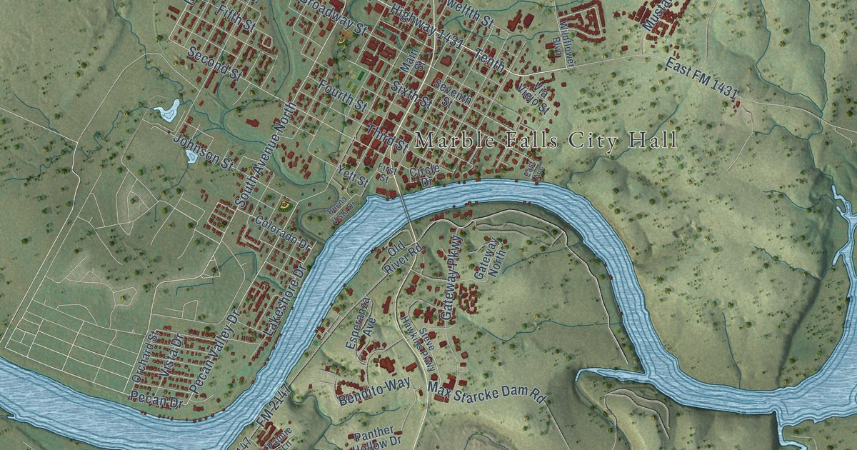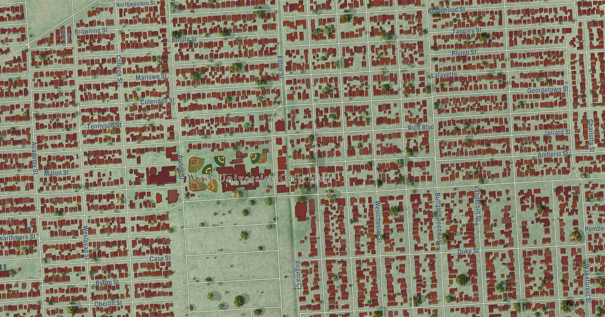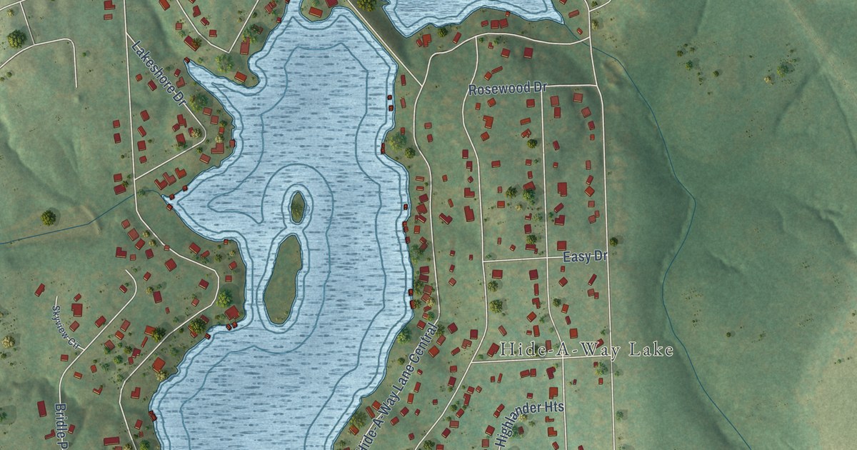
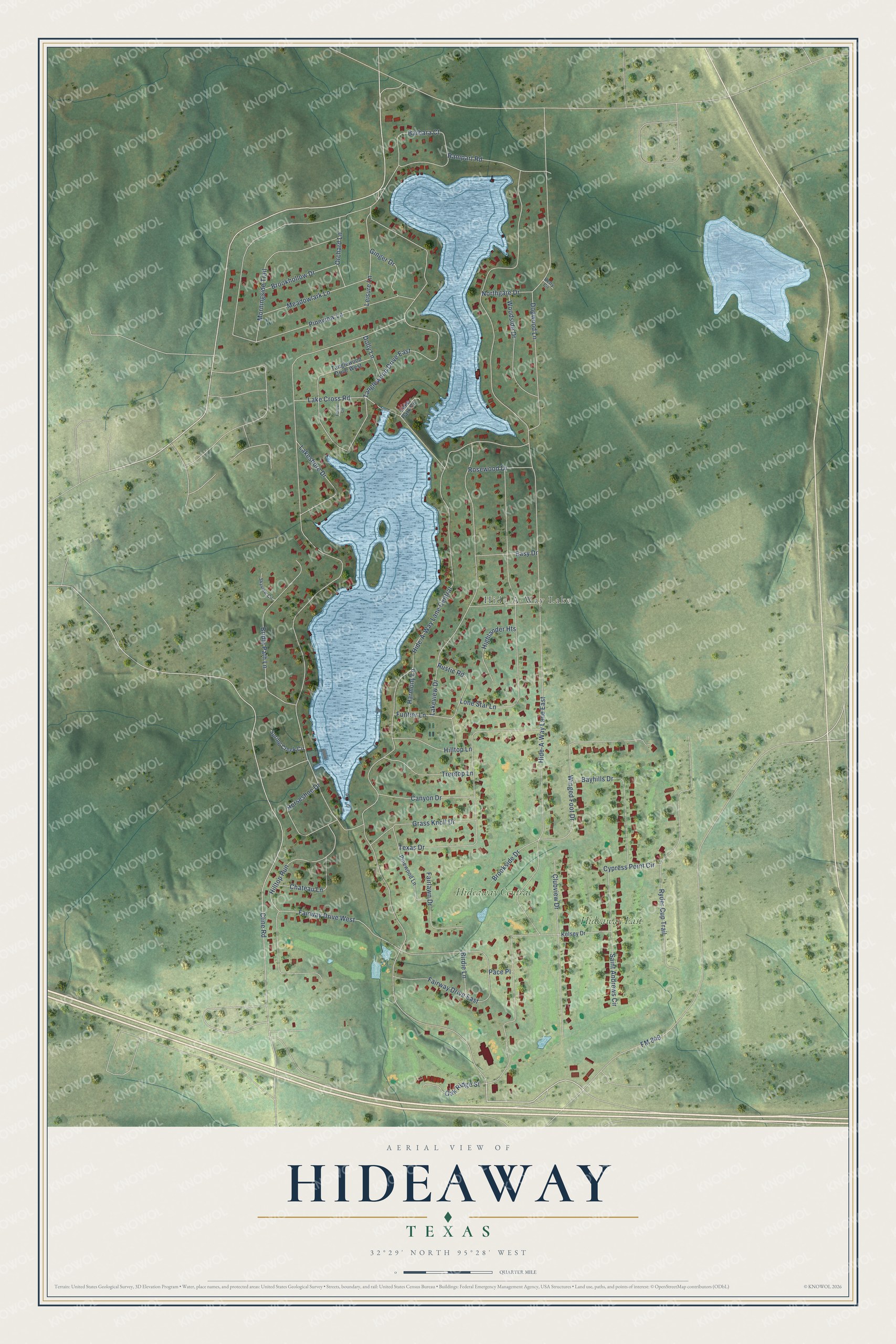
This beautifully detailed map of Hideaway, Texas was created in 2026 using aerial imagery combined with modern topographical, census, street and landmark data. It’s a one-of-a-kind view of Hideaway that combines accurate data with a vintage aesthetic. The map shows every building in its true location, many of the roads carry their names, and the shaded topographic relief shows the shape of the land.
Explore an aerial view of Hideaway, Texas
On the map you’ll find Hide-A-Way Lake, Hideaway Central, Hideaway East, and Hide-A-Way Lane Central, along with Rustic Road, Hide-A-Way Lane East, Pineview Lane, Cline Road, Lone Star Lane, Lakeview Drive, Texas Drive, Northgate Drive, and more. If you look closely you can even find your house accurately drawn in its correct location. Zoom in on the preview to look for yours.
Did you know this piece of Hideaway, Texas history?
Hideaway sits on land that was once part of the large plantation of Texas governor Richard B. Hubbard. Developer James Fair later bought the land. In 1967 he laid out a lake community and named it Hide-A-Way Lake. In 2000 its two managing groups merged, and the community became a city.
Take a closer look at the Hideaway map
Street and place names on the Hideaway, Texas map
These names are printed on the map of Hideaway, Texas.
Places: Hide-A-Way Lake, Hideaway Central and Hideaway East.
Streets and roads: Rustic Road, Hide-A-Way Lane East, Hide-A-Way Lane Central, Pineview Lane, Tanglewood Drive East, Cline Road, Lone Star Lane, Lakeview Drive, Texas Drive, Fairway Drive West, Northgate Drive, Fairway Drive East.
More street names, A to Z
Barbara Court, Bayhills Drive, Betty Circle, Birdie Lane, Bridle Path Lane, Brookhollow Drive, Brookside Drive, Canyon Drive, Chateau Lane, Clubview Drive, Cypress Point Circle, Dogwood Lane, Dolly Lane, Easy Drive, Fairlawn Drive, FM 849, Forest Circle, Funtier Lane, Ginger Drive, Grass Knoll Drive, Harmony Lane, Highlander Heights, Hilltop Lane, Hilltop Run, Horseshoe Drive, Kelsey Drive, Lake Cross Road, Lake Park Circle, Lakeshore Drive, Leisure Lane, Meadowlark Lane, Morningside Trail, Oak Ridge Street, Orchard Lane, Pace Place, Pinewood Lane, Rampart Road, Rosewood Drive, Ryder Cup Trail, Saint Andrews Circle, Skyview Circle, Spring Creek Circle, Tanglewood Drive West, Treetop Lane, Winged Foot Drive, Woodside Drive.
See the Hideaway, Texas map on a wall
The Hideaway map as an 18 x 24 inch print in a black frame.

This beautifully detailed map of Hideaway makes an attractive addition to your office, library, or den, and it can even be used to teach children the geography and history of the area. It also makes a great gift for anyone who grew up in Hideaway or moved away. When you’re done exploring, click here to get your copy of the Hideaway map.