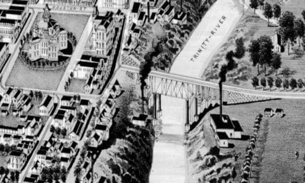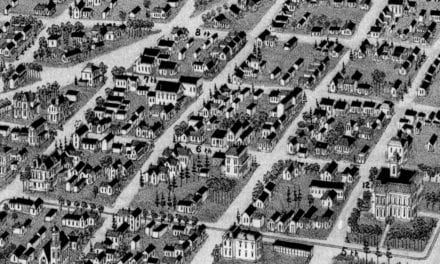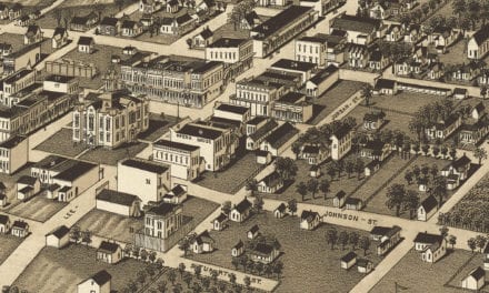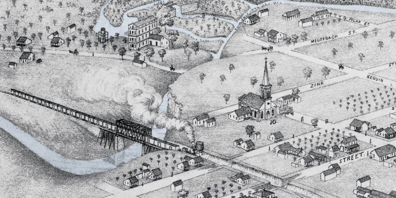
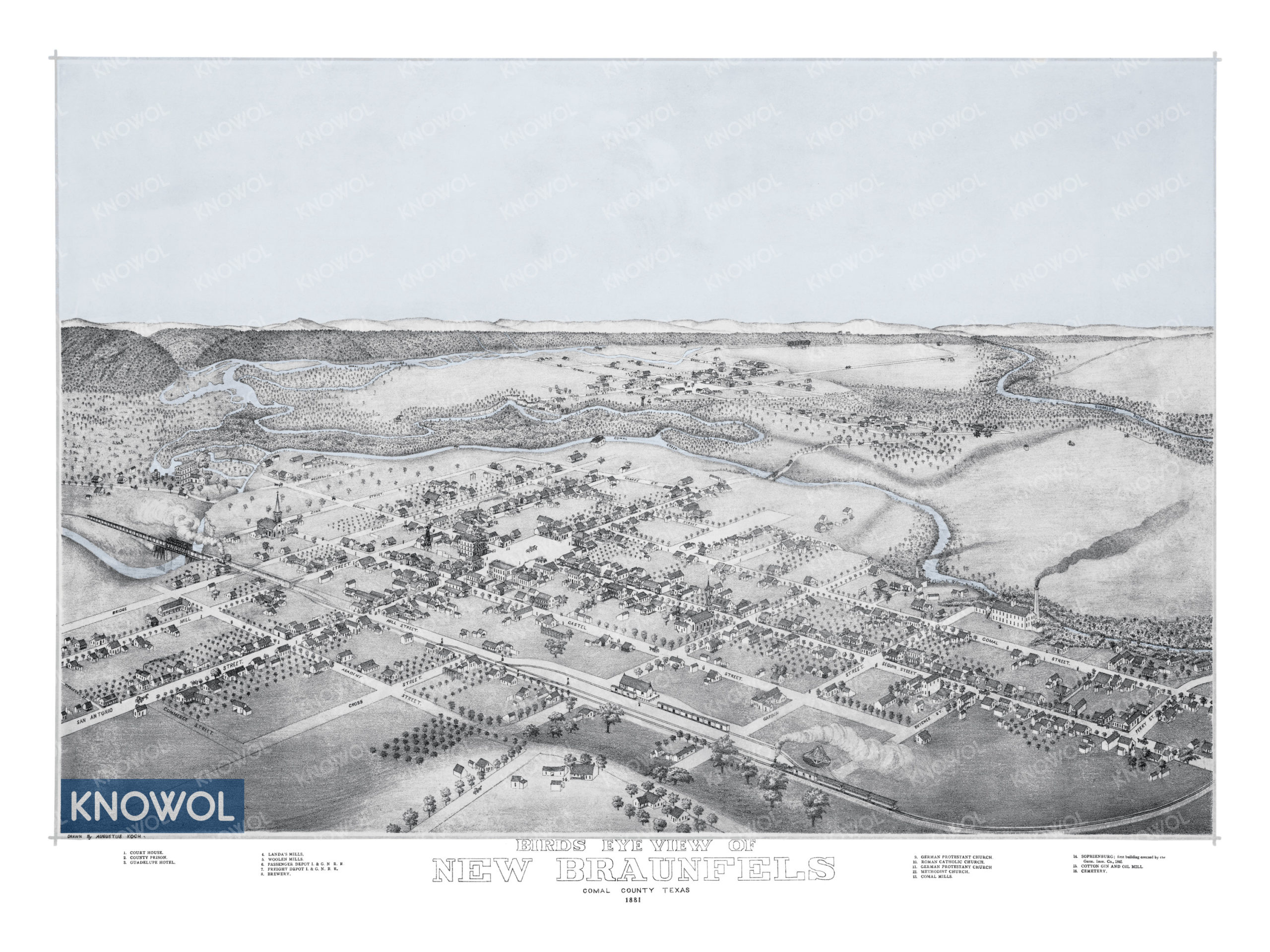
This historic map of New Braunfels, Texas was created in 1881 by Augustus Koch, a prominent 19th century map maker. The map shows a bird’s eye view of the area as it used to be, including street names and old landmarks.
Landmarks on the map include the International–Great Northern Railroad Passenger Station, New Braunfels Brewery, Court House, County Prison, Guadelupe Hotel, Landa’s Mills, Guadelupe River, Woolen Mills, Comal Mills, Cotton Gin and Oil Mill, and more.
This historic map of New Braunfels has been restored by KNOWOL. Reproductions of the restored map are available here.
Historic Old Map of New Braunfels, Texas from 1881
This vintage map of New Braunfels makes an attractive addition to your office, library, or den, and can even be used to teach children the geography and history of the area. When you’re done exploring, click here to get your copy of the restored map.