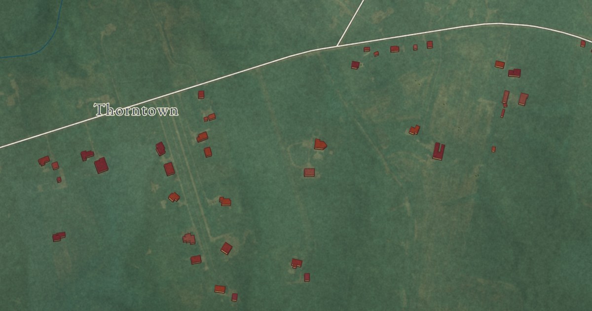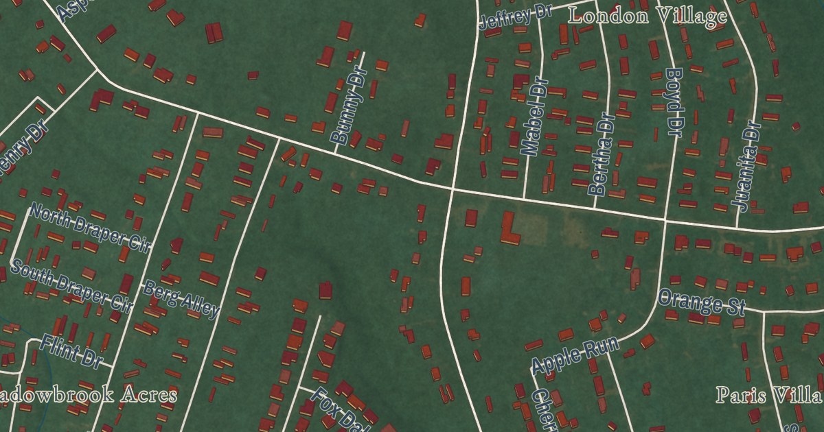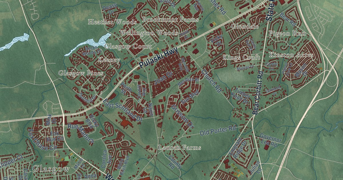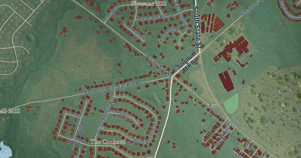
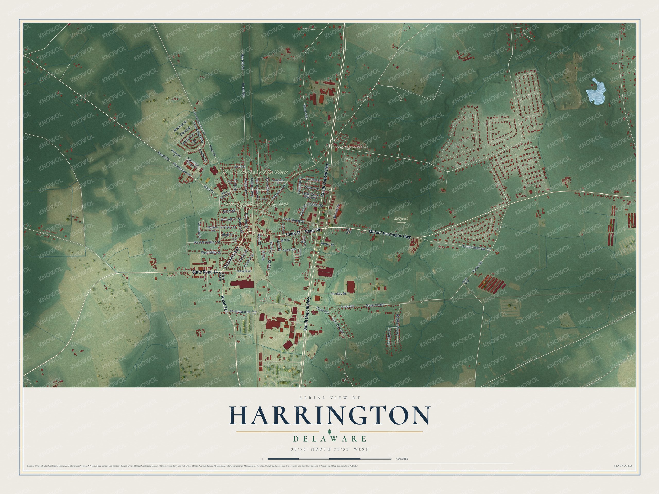
This beautifully detailed map of Harrington, Delaware was created in 2026 using aerial imagery combined with modern topographical, census, street and landmark data. It’s a one-of-a-kind view of Harrington that combines accurate data with a vintage aesthetic. The map shows every building in its true location, many of the roads carry their names, and the shaded topographic relief shows the shape of the land.
Explore an aerial view of Harrington, Delaware
On the map you’ll find Downtown, Harrington Community Park, Hollywood Cemetery, Warrington Manor, Road 36, and Road 314, along with Commerce Street, Clark Street, Walt Messick Road, South Dupont Highway, State Road 14, Milford Harrington Highway, and more. If you look closely you can even find your house accurately drawn in its correct location. Zoom in on the preview to look for yours.
Did you know this piece of Harrington, Delaware history?
From the Delaware Public Archives: "” By the 1790’s Benjamin Clark and his son Matthew had established an inn and tavern on this land at a location which became known as Clark’s Corner."
Take a closer look at the Harrington map
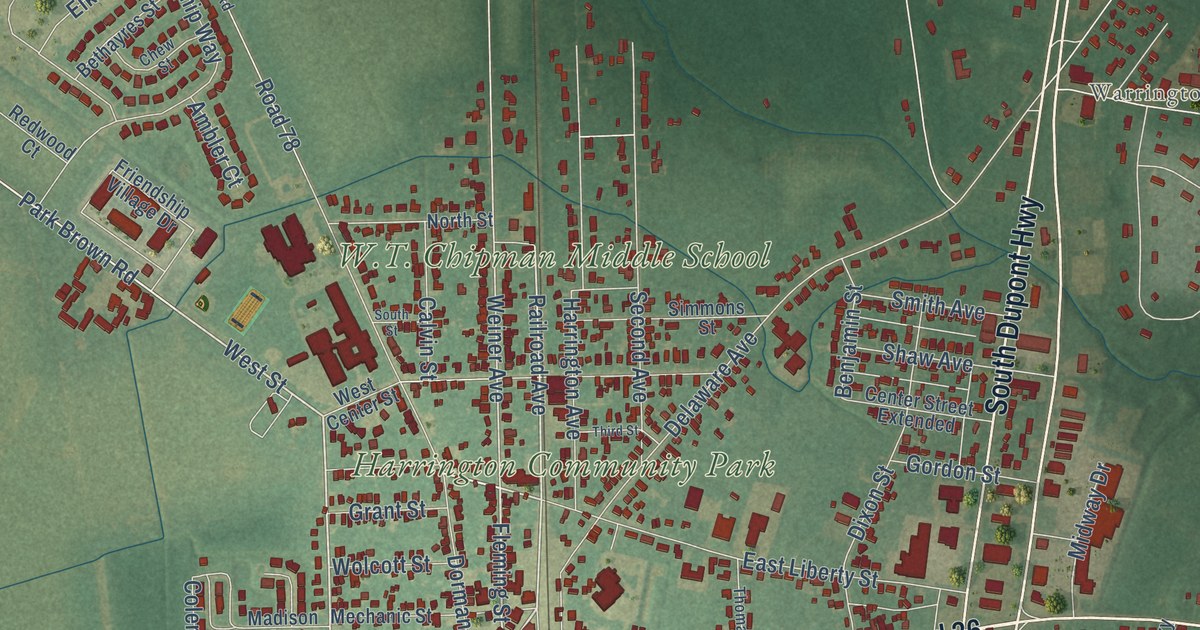
Street and place names on the Harrington, Delaware map
These names are printed on the map of Harrington, Delaware.
Places: W.T. Chipman Middle School, Harrington Community Park, Hollywood Cemetery and Warrington Manor.
Streets and roads: Clark Street, Commerce Street, South Dupont Highway, State Road 14, Milford Harrington Highway, Road 36, Road 314, Fleming Street, West Street, Park Brown Road, Road 275, Railroad Avenue.
More street names, A to Z
Ambler Court, Benjamin Street, Bethayres Street, Brooklyn Drive, Butler Road, Calvin Street, Center Street Extended, Central Park Drive, Chew Street, Cluckey Drive, Coleman Street, Corn Crib Road, Cozy Court, Delaware Avenue, Diamond Court, Dixon Street, Doctor Smith Road, Dorman Street, East Liberty Street, East Street, Elkins Street, Fairground Road, Franklin Street, Friendship Village Drive, Friendship Way, Gordon Street, Grant Street, Hanley Street, Harrington Avenue, High Street, Little Mastens Corner Road, Madison Avenue, Mechanic Street, Melrose Street, Messicks Road, Midway Drive, Mill Street, New Street, North Street, Pea Hill Road, Peck Avenue, Porter Street, Redwood Court, Reed Street, Reese Avenue, Road 78, Road 290, Road 316, Road 350, Road 405, Road 429, Road 431, Road 432, Road 433, Second Avenue, Shaw Avenue, Short Street, Simmons Street, Simpson Street, Smith Avenue, South Street, South West Street, Third Street, Thomas Street, Ward Street, Weiner Avenue, West Center Street, West Milby Street, West Mispillion Street, Wolcott Street.
See the Harrington, Delaware map on a wall
The Harrington map as an 18 x 24 inch print in a black frame.

This beautifully detailed map of Harrington makes an attractive addition to your office, library, or den, and it can even be used to teach children the geography and history of the area. It also makes a great gift for anyone with Harrington roots. When you’re done exploring, click here to get your copy of the Harrington map.