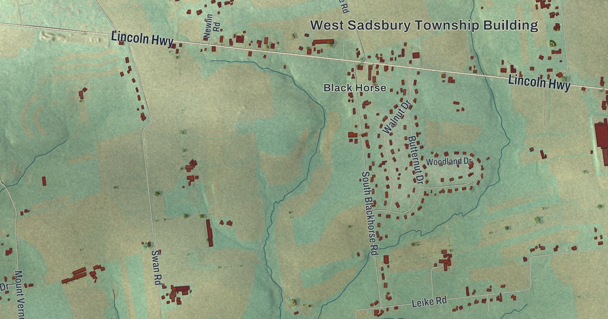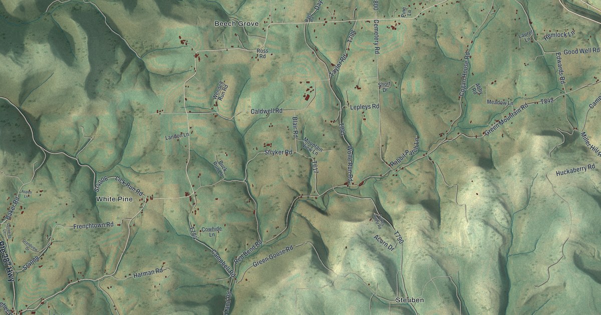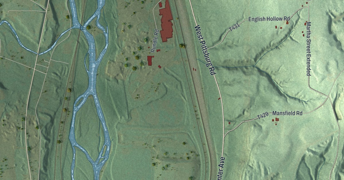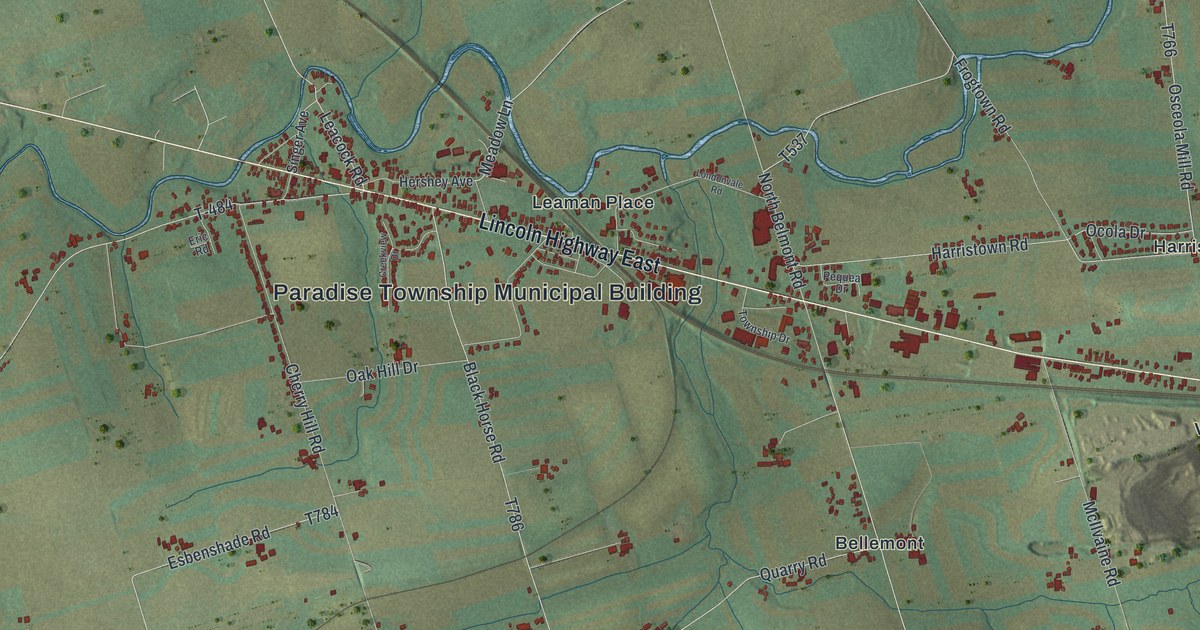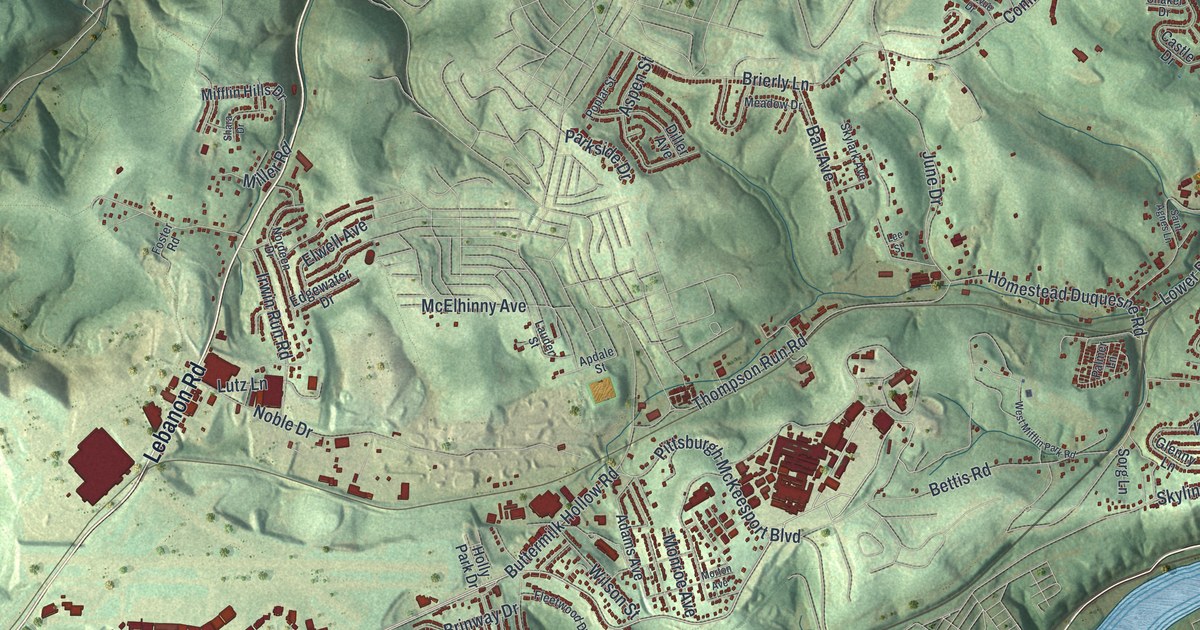
If you grew up in West Mifflin, look for your old street. This modern aerial view of West Mifflin in Allegheny County, Pennsylvania pairs modern data with a vintage feel. Red buildings fill the hillside neighborhoods, with green hollows between them. Kennywood Park, Homeville and Mifflin Junction are among the printed names.
Kennywood Park and Its Early Rides
On this map you'll find Kennywood Park, Kennywood Boulevard, Lebanon Church Road, Homeville Road, Clairton Road, Bettis Road, New England Road, Homeville, Mifflin Junction, Willock, Camden, and more. Each red shape is a building, so zoom in on the preview and look for yours.
Kennywood's early rides share a link to one man: Frederick Ingersoll. The state historical marker at Kennywood credits him with building and running some of the park's first rides. They included the Old Mill and four coasters, including its first Racer. His Figure-8 coasters and other inventions reached parks across the country. You'll find the Kennywood Park name near the blue river on this map. The marker's address is 4800 Kennywood Boulevard, another name you can spot on the print.
West Mifflin, From Homeville to New England
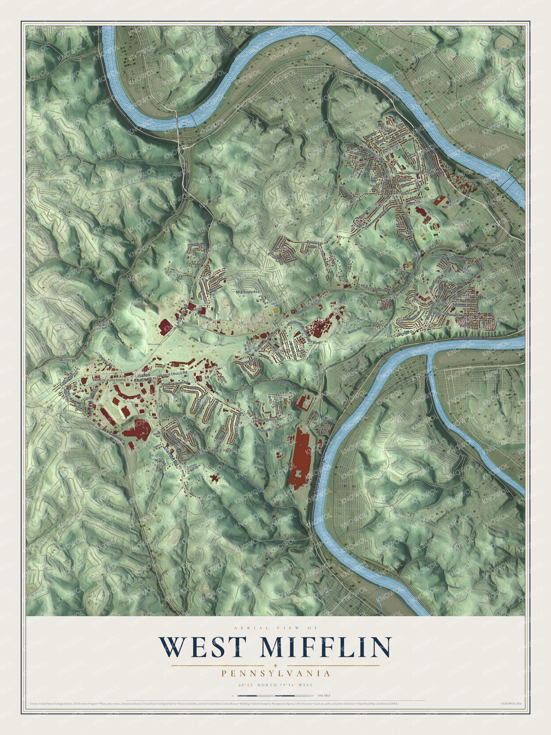
Created by KNOWOL in 2026, the print uses green shaded hills, blue water and red buildings. A cream border surrounds the view. The title panel reads AERIAL VIEW OF, WEST MIFFLIN, PENNSYLVANIA, with 40°22' NORTH 79°54' WEST below.
Hang it in a living room, home office or entryway. It's a gift for someone who grew up in Homeville or spent family days at Kennywood Park. Open the preview and look for the streets you'd point out to them. See sizes and frames for the West Mifflin map.