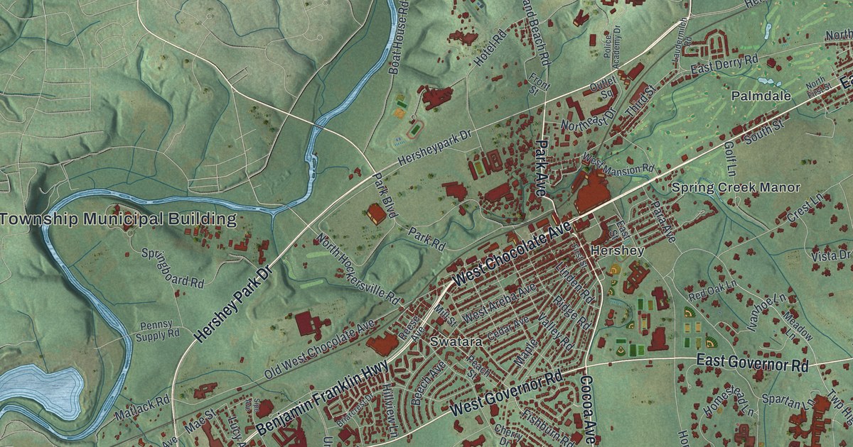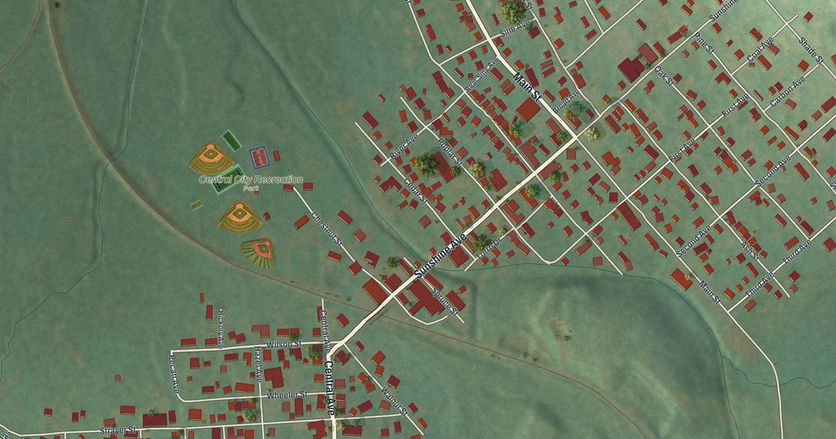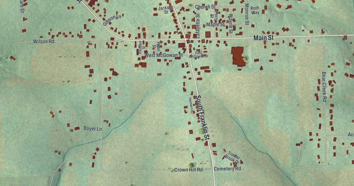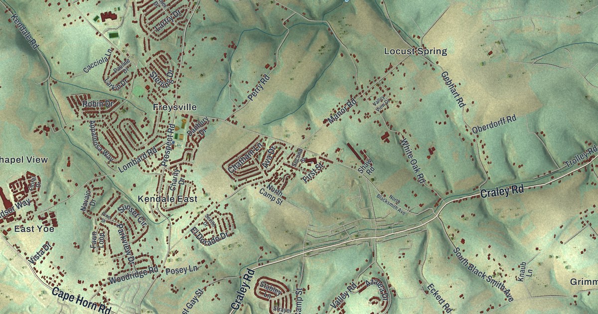
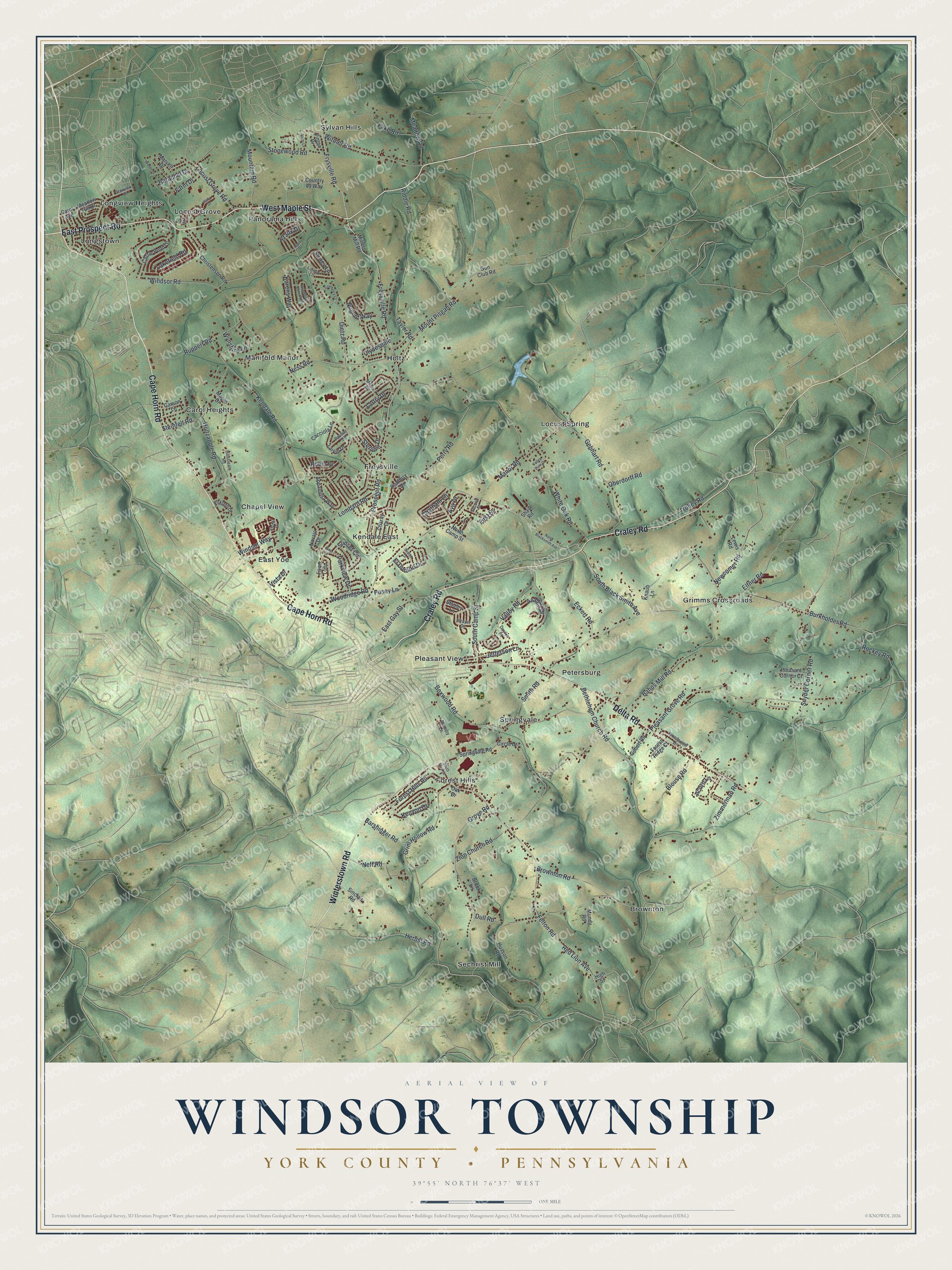
This beautifully detailed map of Windsor Township, York County, Pennsylvania was created in 2026 using aerial imagery combined with modern topographical, census, street and landmark data. It’s a one-of-a-kind view of Windsor Township that combines accurate data with a vintage aesthetic. The map shows every building in its true location, many of the roads carry their names, and the shaded topographic relief shows the shape of the land.
Explore an aerial view of Windsor Township, York County, Pennsylvania
On the map you’ll find Brownton, Carol Heights, Chapel View, East Yoe, Forest Hills, Freysville, Grimms Crossroads, Holtz, Kendale East, Locust Grove, Locust Spring, Longstown, and more. If you look closely you can even find your house accurately drawn in its correct location. Zoom in on the preview to look for yours.
Take a closer look at the Windsor Township, York County map
Street and place names on the Windsor Township, York County, Pennsylvania map
These names are printed on the map of Windsor Township, York County, Pennsylvania.
Places: Kendale East, Sylvan Hills, Sechrist Mill, Longview Heights, Locust Spring, Brownton, Springvale, Grimms Crossroads, Forest Hills, Carol Heights, Locust Grove, Manifold Manor, East Yoe, Holtz, Freysville, Petersburg, Panorama Hills, Pleasant View, Chapel View and Longstown.
Streets and roads: East Prospect Road, West Maple Street, Winterstown Road, Craley Road, Cape Horn Road, Delta Road, Freysville Road, Mount Pisgah Road, Lombard Road, Frysville Road, Snyder Corner Road, Windsor Road.
More street names, A to Z
Acorn Lane, Appaloosa Way, Ava Drive, Azalea Drive, Bahns Mill Road, Barachel Drive, Barshinger Road, Bethlehem Church Road, Blouse Road, Boxwood Road, Brook Lane, Brownton Road, Burkholder Road, Cacciola Lane, Carol Avenue, Carson Lane, Castle Pond Drive, Charity Drive, Chatham Lane, Christensen Road, Circle Drive, Clydesdale, Country by Way, Cranberry Lane, Cranberry Lane West, Danbury Drive, Dayton Court, Dietz Road, Dull Road, Dyan Drive, East Gay Street, Eckert Road, El Dorado Drive, Elfner Road, Fake Road, Farm Drive, Fawn Loop, Felton Road, First Street, Floral Drive, Forest Hills Road, Forest Ridge Court, Frank Drive, Gebhart Road, Gilbert Road, Grim Hollow Road, Grove Road, Gun Club Road, Herbst Road, High Street, Hillstream Road, Holtzapple Road, Husson Road, Jefferson Lane, Jody Drive, Karens Way, Kendale Road, Kenyon Drive, Kirkland Drive, Knaub Lane, Lakefield Road, Larkin Drive, Lartry Drive, Lewis Road, Liborio Lane, Locust Grove Road, Lyle Circle, Manor Road, Maple Drive, Marvell Drive, Meadow Hill Drive, Meadow Road, Memory Lane, Millers Mill Road, Milner Drive, Mountain Road, Mundy Road, Navajo Drive, Neff Road, Ness Road, Newcomer Road, North Blacksmith Avenue, North Camp Street, Nugent Way, Oak Drive, Oberdorff Road, Parkview Drive, Pauline Drive, Perry Road, Pine Street, Pleasant Corner Court, Pleasant Grove Road, Posey Lane, Prospect Road, Red Lion Avenue, Riddle Road, Robin Drive, Rockey Road, Ruppert Road, Second Street, Seville Drive, Shaw Road, Sinclair Road, Sitler Lane, Smith Road, South Black Smith Avenue, South Camp Street, South Main Street, Springvale Road, Stabley Lane, Starview Drive, Steinfelt Road, Sterling Drive, Stonewood Road, Strayer Drive, Sunset Circle, Surrey Lane, Taylor Road, Trolley Road, Valley Road, Valley View Drive, Vinton Drive, Vista Drive, White Oak Road, Windsor Way, Witmer Road, Woodridge Road, Woods Drive, Woodsview Drive, Wynshire Lane, Zimmerman Road, Zion Church Road.
See the Windsor Township, York County, Pennsylvania map on a wall
The Windsor Township, York County map as an 18 x 24 inch print in a black frame.

This beautifully detailed map of Windsor Township, York County makes an attractive addition to your office, library, or den, and it can even be used to teach children the geography and history of the area. It also makes a great gift for someone who left Windsor Township and still calls it home. When you’re done exploring, click here to get your copy of the Windsor Township, York County map.