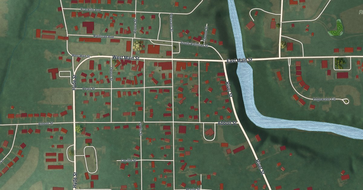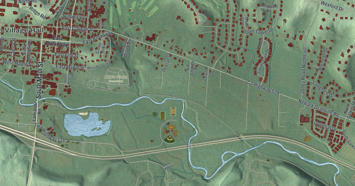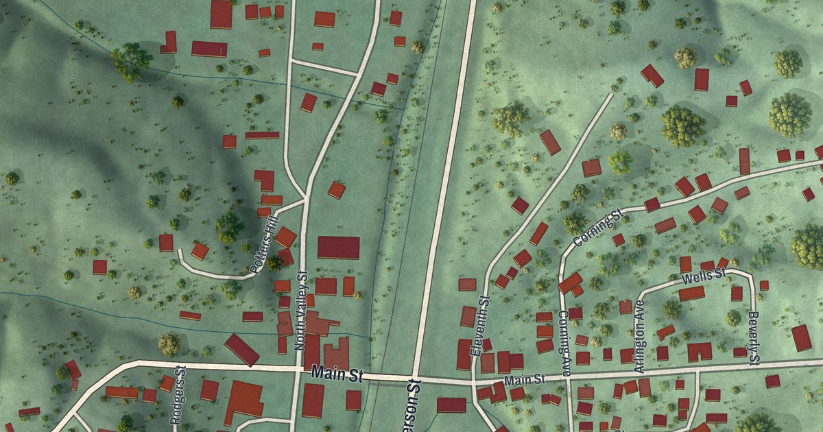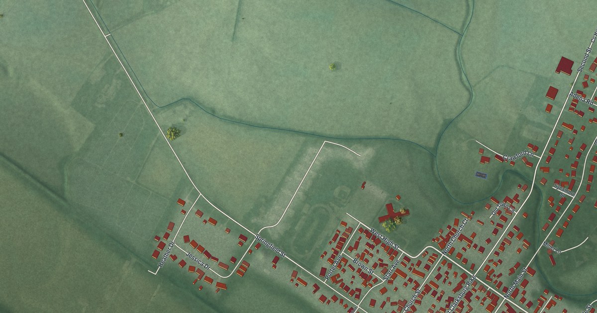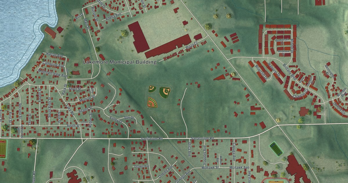
This beautifully detailed map of Lakemore, Ohio was created in 2026 using aerial imagery combined with modern topographical, census, street and landmark data. It's a modern aerial view of Lakemore in Summit County, Ohio, that combines modern data with a vintage aesthetic. The roads feature printed names, and if you look closely you can find your exact house accurately shown in its correct location.
Explore an aerial view of Lakemore, Ohio
On this map you'll find Lakemore Municipal Building, Sanatorium Road, Sanitarium Road, Krumroy Road, Flickinger Road, Lakeside Drive, Elmer Street, Main Street, Chaucer Circle, Canton Road, Ambassador Drive, Brittany Boulevard, and more. Each red shape is a building, so zoom in on the preview and look for yours.
Lakemore is a village in Summit County. The Census Bureau counted 2,926 people here in 2020. The map prints the town name in its title panel, with the coordinates below it.
Take a closer look at the Lakemore map
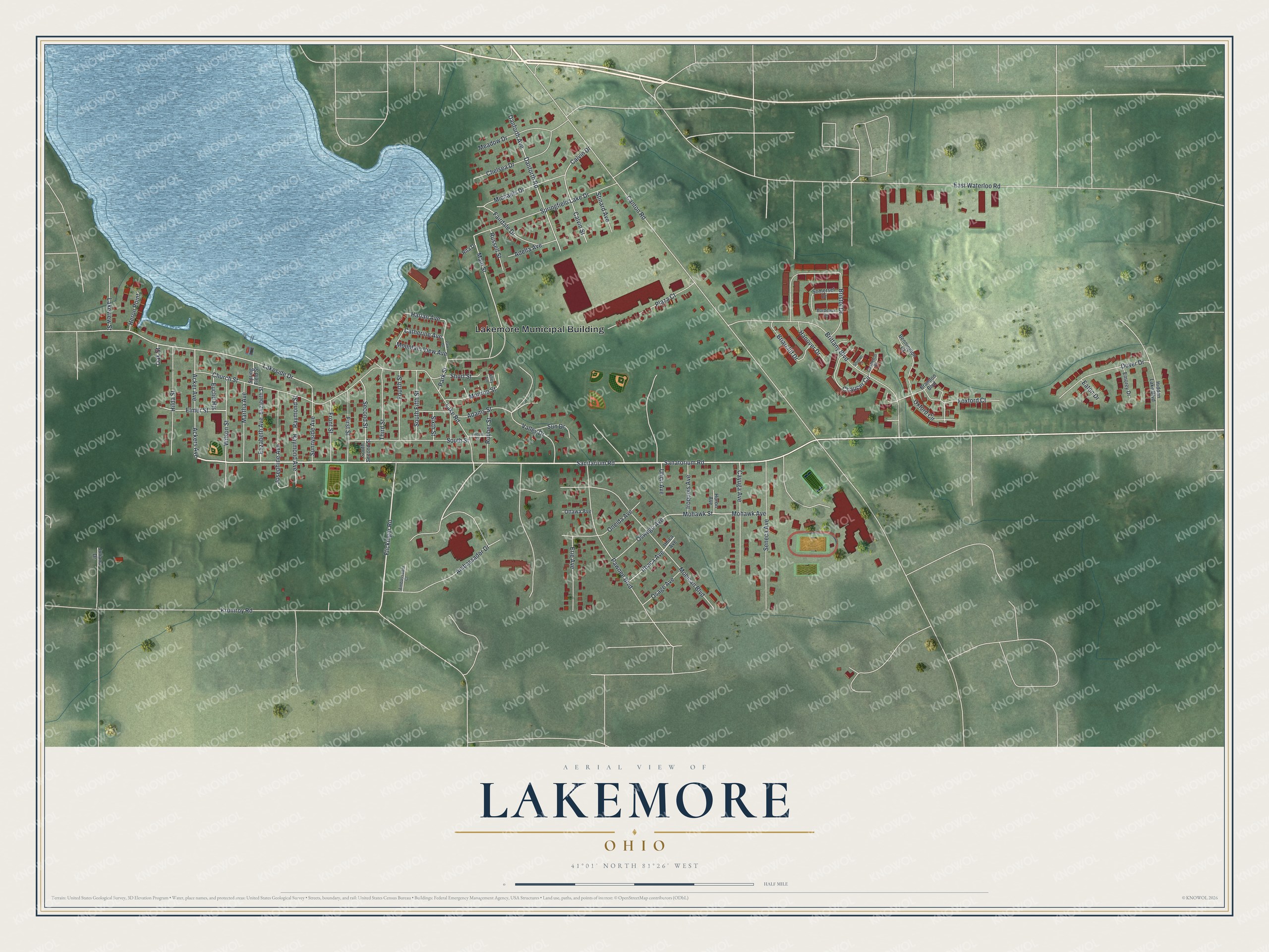
Names on this map
These names are printed on this map.
Places: Lakemore Municipal Building.
Streets and roads: Sanatorium Road, Sanitarium Road, Krumroy Road, Flickinger Road, Lakeside Drive, Elmer Street, Main Street, Chaucer Circle, Canton Road, Ambassador Drive, Brittany Boulevard, Mohican Boulevard.
More street names, A to Z
Acker Avenue, Ackers Avenue, Adams Street, Adella Avenue, Alley Lane, Ambassador Court, Bennington Court, Bordeaux Drive, Brandon Boulevard, Briarcliff Drive, Bristol Drive, Calvin Drive, Calvin Street, Castleton Court, Catherine Avenue, Cayuga Avenue, Chelsea Drive, Church Street, Danforth Avenue, Danforth Road, Dover Drive, East Waterloo Road, Eaton Drive, Elizabeth Avenue, Elizabeth Street, Emorey Drive, Erie Avenue, Euclid Heights, Fairdale Drive, First Street, Fourth Street, Foxford Court, Front Street, Hanover Drive, Harlan Avenue, Heron Point, Hidden Lake Boulevard, Hilda Street, Huron Avenue, Iroquois Avenue, Ithaca Avenue, Ithica Avenue, Josephine Avenue, Juliana Drive, Lake Road, Lakeview Street, Lincoln Street, Martha Avenue, Meadow Drive, Michaels Drive, Mohawk Avenue, Mohawk Street, Monroe Street, Mountain View Avenue, Oak Street, Oneida Avenue, Osage Avenue, Oswego Avenue, Ottawa Avenue, Oxford Circle, Park Drive, Park Street, Pawnee Boulevard, Plaza Court, Raymond Avenue, Raymond Street, Rita Drive, Rubber Street, Russell Street, Second Street, Seneca Avenue, Shelton Court, Short Street, Sixth Street, Somerset Drive, South Fifth Street, South Second Street, South Street, Springfield Lake Drive, Spring Field Street, Stinard Avenue, Sun Drive, Sunnyside Avenue, Third Street, Utica Avenue, Valley Drive, Wilson Street.
Created by KNOWOL in 2026. The buildings are small red shapes, the roads carry their printed names, and shaded relief shows the shape of the land. The title panel reads "AERIAL VIEW OF LAKEMORE OHIO" with 4, 1, °, 0, 1, ', , N, O, R, T, H, , 8, 1, °, 2, 6, ', , W, E, S, T.
It looks right in a kitchen, an office or a den, and it's a gift for anyone who grew up in Lakemore or moved away. Open the preview and find your street. See sizes and frames for the Lakemore map.