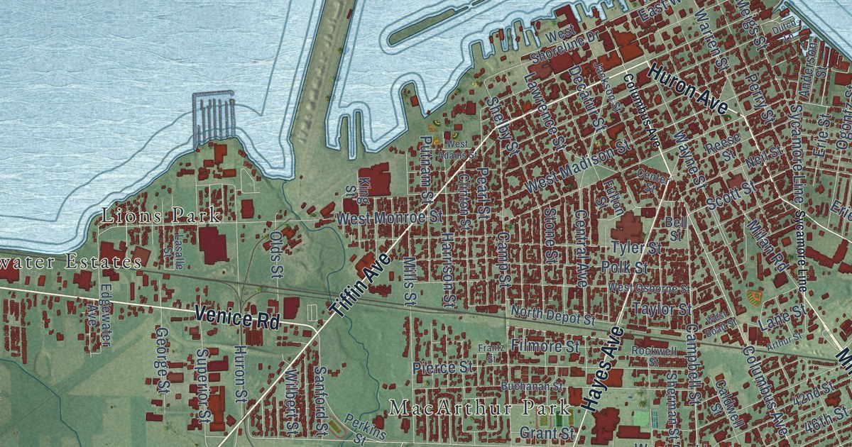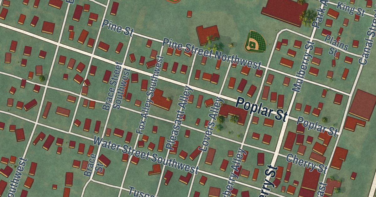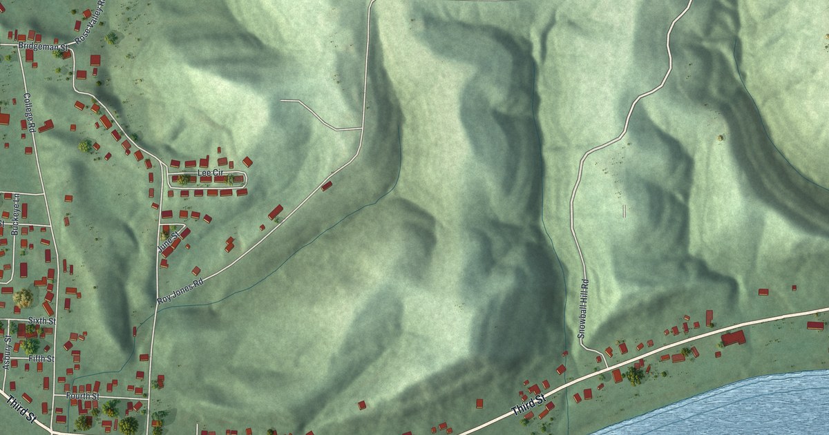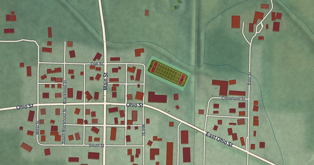
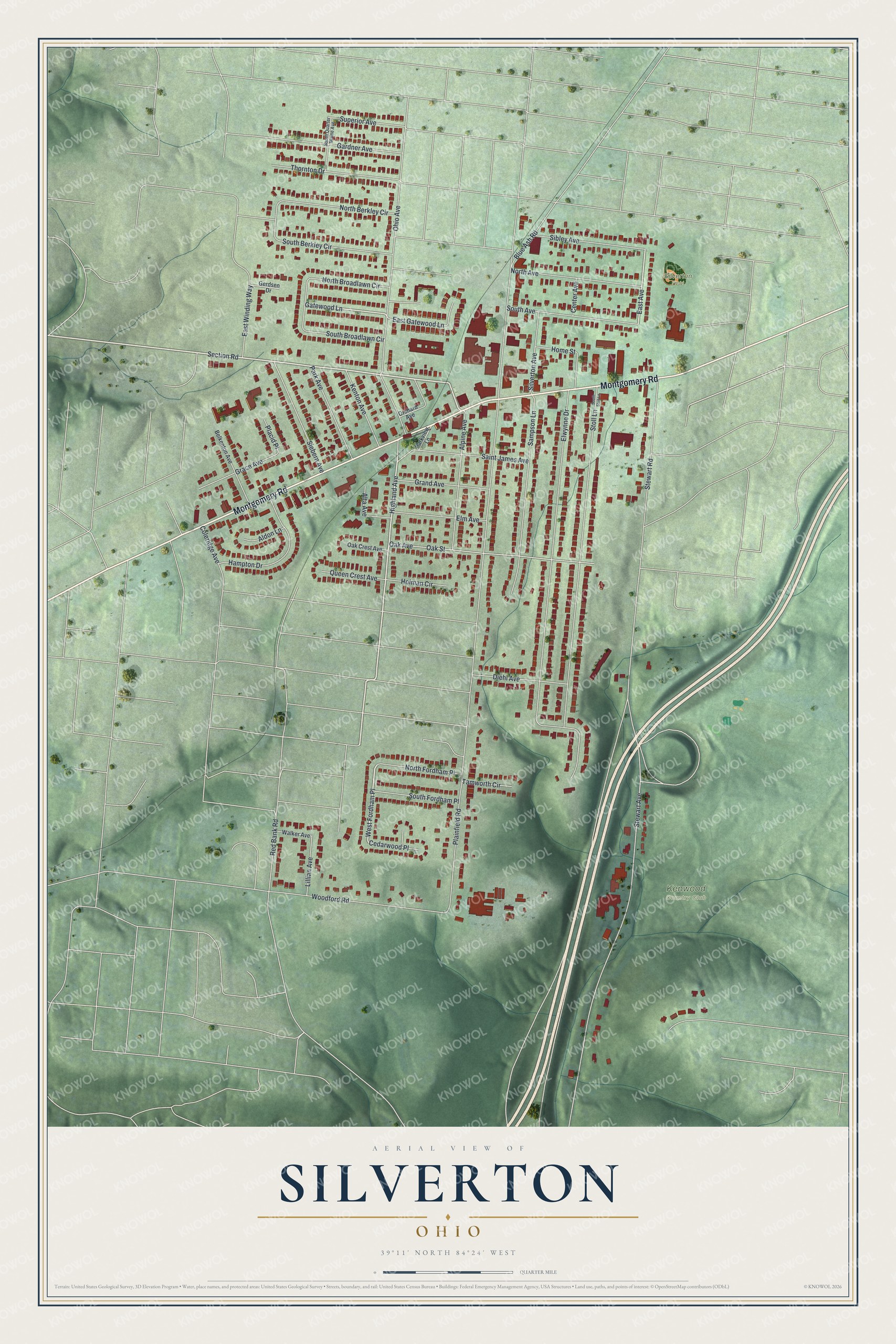
This beautifully detailed map of Silverton, Ohio was created in 2026 using aerial imagery combined with modern topographical, census, street and landmark data. It’s a one-of-a-kind view of Silverton that combines accurate data with a vintage aesthetic. The map shows every building in its true location, many of the roads carry their names, and the shaded topographic relief shows the shape of the land.
Explore an aerial view of Silverton, Ohio
On the map you’ll find Kenwood Country Club, Silverton Field, and West Fordham Place, along with Montgomery Road, Section Road, Highland Avenue, Gatewood Lane, East Avenue, Plainfield Road, Elwynne Drive, Stewart Avenue, Ohio Avenue, and more. If you look closely you can even find your house accurately drawn in its correct location. Zoom in on the preview to look for yours.
Did you know this piece of Silverton, Ohio history?
From the History of Cincinnati and Hamilton County: "The committee met accordingly at the residence of C. G. Hutchinson on May 6, 1888, and proceeded to organize the First Presbyterian Church of Silverton, with a membership of twenty-eight; nine by profession, and eighteen by letter."
Take a closer look at the Silverton map
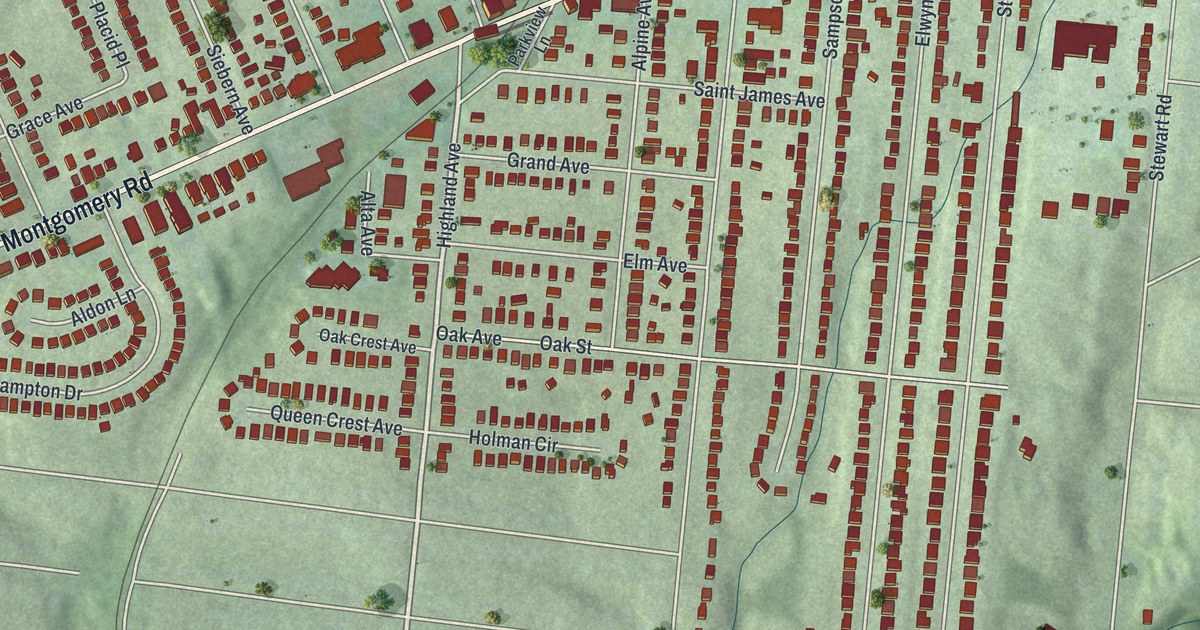
Street and place names on the Silverton, Ohio map
These names are printed on the map of Silverton, Ohio.
Places: Kenwood Country Club and Silverton Field.
Streets and roads: Montgomery Road, Section Road, West Fordham Place, Highland Avenue, Gatewood Lane, East Avenue, Plainfield Road, Elwynne Drive, Stewart Avenue, Ohio Avenue, Stoll Lane, Oak Avenue.
More street names, A to Z
Aldon Lane, Alpine Avenue, Alta Avenue, Belkenton Avenue, Blue Ash Road, Cedarwood Place, Center Avenue, Coleridge Avenue, Diehl Avenue, East Gatewood Lane, East Winding Way, Elm Avenue, Gardner Avenue, Gerdsen Drive, Grace Avenue, Grand Avenue, Hampton Drive, Holman Circle, Home Street, Kenton Avenue, Lillian Avenue, North Avenue, North Berkley Circle, North Broadlawn Circle, North Fordham Place, Oak Crest Avenue, Oak Street, Orchard Avenue, Park Avenue, Parkview Lane, Placid Place, Queen Crest Avenue, Red Bank Road, Saint James Avenue, Sampson Lane, Sibley Avenue, Siebern Avenue, Silverton Avenue, South Avenue, South Berkley Circle, South Broadlawn Circle, South Fordham Place, South Quarter Maine Avenue, South Stoll Lane, Stewart Road, Superior Avenue, Tamworth Circle, Thornton Drive, Walker Avenue, Woodford Road.
See the Silverton, Ohio map on a wall
The Silverton map as an 18 x 24 inch print in a black frame.

This beautifully detailed map of Silverton makes an attractive addition to your office, library, or den, and it can even be used to teach children the geography and history of the area. It also makes a great gift for anyone with Silverton roots. When you’re done exploring, click here to get your copy of the Silverton map.