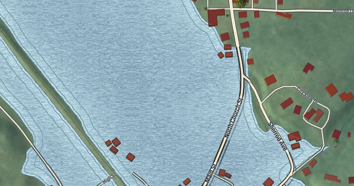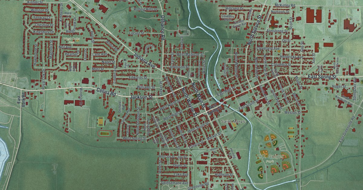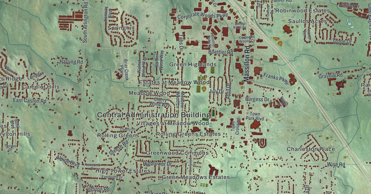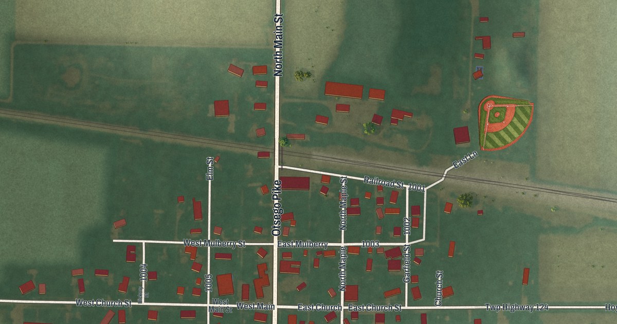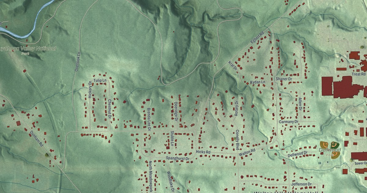
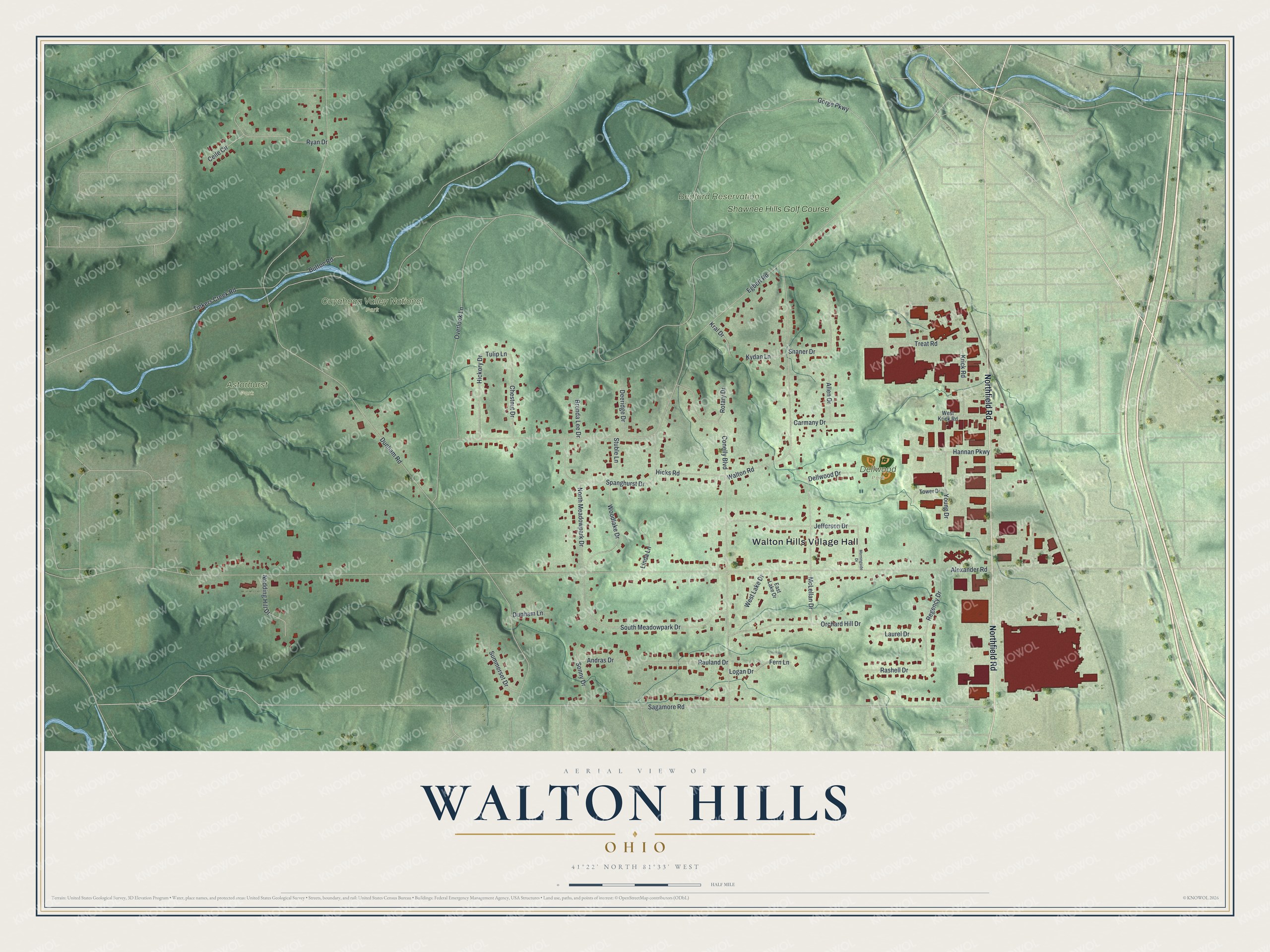
This beautifully detailed map of Walton Hills, Ohio was created in 2026 using aerial imagery combined with modern topographical, census, street and landmark data. It's a modern aerial view of Walton Hills in Cuyahoga County, Ohio, that combines modern data with a vintage aesthetic. The roads feature printed names, and if you look closely you can find your exact house accurately shown in its correct location.
Explore an aerial view of Walton Hills, Ohio
On this map you'll find Walton Hills Village Hall, Astorhurst Park, Bedford Reservation, Cuyahoga Valley National Park, Dellwood Park, Shawnee Hills Golf Course, Northfield Road, Sagamore Road, Tulip Lane, Gorge Parkway, Alexander Road, Dunham Road, and more. Each red shape is a building, so zoom in on the preview and look for yours.
Every town has a first chapter, and Walton Hills is no exception. The record at case.edu puts it this way: "Instead, however, in 1937 real-estate developer Ludwig S. Conelly bought the J. C. Walton farm and laid roads following the natural contours of the land."
Walton Hills is a village in Cuyahoga County. The Census Bureau counted 2,033 people here in 2020.
Take a closer look at the Walton Hills map
Names on this map
These names are printed on this map.
Places: Walton Hills Village Hall, Astorhurst Park, Bedford Reservation, Cuyahoga Valley National Park, Dellwood Park and Shawnee Hills Golf Course.
Streets and roads: Northfield Road, Sagamore Road, Tulip Lane, Gorge Parkway, Alexander Road, Dunham Road, Egbert Road, Walton Road, Overlook Lane, South Meadowpark Drive, Krick Road, McLellan Drive.
More street names, A to Z
Allen Drive, Andras Drive, Brenda Lee Drive, Button Road, Carmany Drive, Ceile Circle, Chestnut Drive, Conelly Boulevard, Deeridge Drive, Dellwood Drive, Dunham Lane, East Lake Drive, Fern Lane, Hannan Parkway, Hickory Drive, Hicks Road, Jefferson Drive, Kral Drive, Kydan Lane, Laurel Drive, Linda Lane, Logan Drive, Morningside Drive, Nodding Hill Drive, North Meadowpark Drive, Orchard Hill Drive, Rashell Drive, Rauland Drive, Regency Drive, Rotary Drive, Ryan Drive, Shaner Drive, Sonny Drive, Spanghurst Drive, Stuble Lane, Summerset Drive, Tinkers Creek Road, Tower Drive, Treat Road, West Krick Road, West Lake Drive, Woodlake Drive, Young Drive.
Created by KNOWOL in 2026. The buildings are small red shapes, the roads carry their printed names, and shaded relief shows the shape of the land. The title panel reads "AERIAL VIEW OF WALTON HILLS OHIO" with 4, 1, °, 2, 2, ', , N, O, R, T, H, , 8, 1, °, 3, 3, ', , W, E, S, T.
Hang it in the hallway, the office or the cabin, or give it to someone who left Walton Hills and still calls it home. Open the preview and look for a street you know. See sizes and frames for the Walton Hills map.