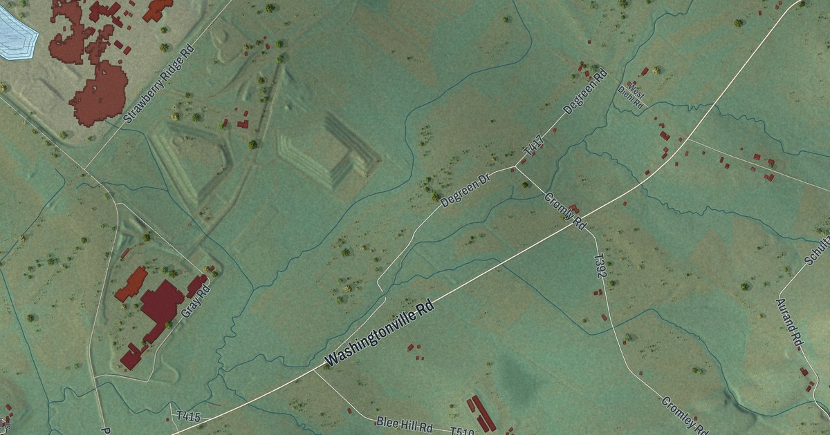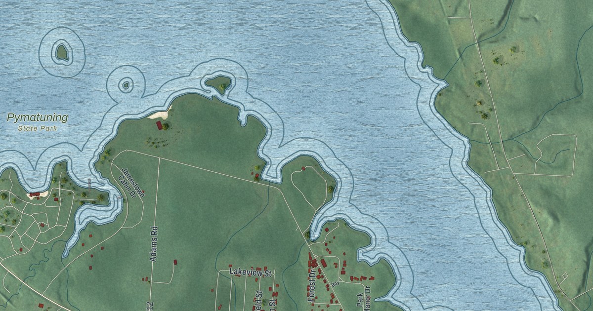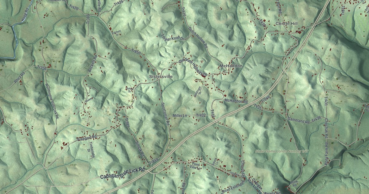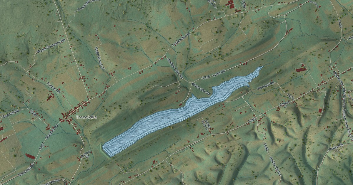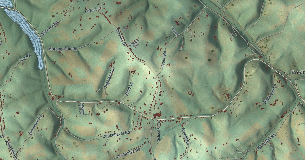
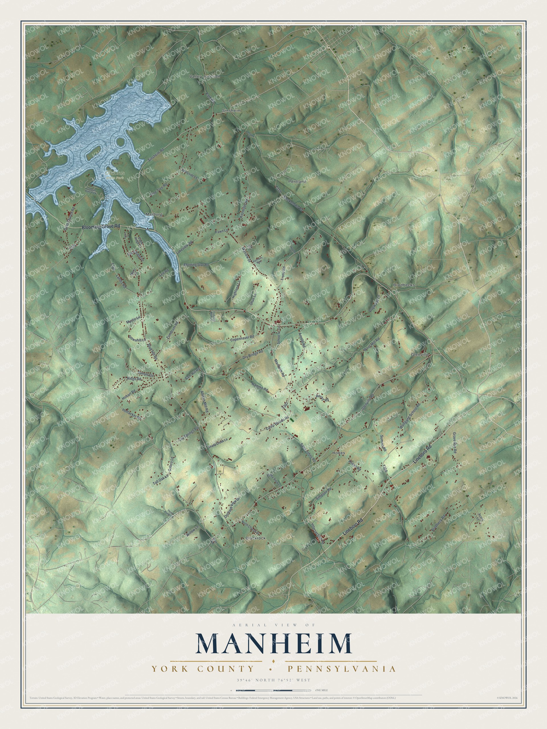
This beautifully detailed map of Manheim, York County, Pennsylvania was created in 2026 using aerial imagery combined with modern topographical, census, street and landmark data. It's a modern aerial view of Manheim, York County in York County, Pennsylvania, that combines modern data with a vintage aesthetic. The roads feature printed names, and if you look closely you can find your exact house accurately shown in its correct location.
Explore an aerial view of Manheim, York County, Pennsylvania
On this map you'll find Codorus State Park, Blackrock, Brodbecks, Glenville, Hokes, Marburg, Pentland, Sinsheim, Valley Junction, Lineboro Road, Blooming Grove Road, Glenville Road, and more. Each red shape is a building, so zoom in on the preview and look for yours.
Every town has a first chapter, and Manheim, York County is no exception. The Internet Archive puts it this way: "June 26, 1884, the great flood destroyed
nearly the entire yard to the amount of
12,000; but in the autumn of the same year
it was in full operation at a more secure
place."
Manheim, York County is a place in York County. The Census Bureau counted 3,462 people here in 2020.
Take a closer look at the Manheim, York County map
Names on this map
These names are printed on this map.
Places: Codorus State Park, Blackrock, Brodbecks, Glenville, Hokes, Marburg, Pentland, Sinsheim and Valley Junction.
Streets and roads: Lineboro Road, Blooming Grove Road, Glenville Road, Intersection Road, Sinsheim Road, Allison Mill Road, Lily Springs Road, Dubs Church Road, Hobart Road, Blue Hill Road, Zumbrum Road, Smoketown Road.
More street names, A to Z
Acorn Lane, Arnold Road, Baugher Lane, Brodbeck Road, Camp Woods Road, Codorus Bluff Lane, Copenhaver Road, Dogwood Lane, Downhill Lane, Dry Bridge Road, Eagle Ridge Court, Echo Lane, Fawn Lane, Fox Chase Drive, Gabco Lane, Gier Road, Grave Run Road, Hamme Road, Harbor Court, Harmans Way, Highland Lane, Hoffacker Road, Hokes Road, Kitzmiller Road, Lakeview Road, Landis Road, Lee Road, Manheim Road, Martz Lane, Morning Star Road, Mystic Lane, North Church Street, Orchard View Drive, Park Road, Pentland Road, Pine Tree Road, Ridge Road, Rocky Road, Saint Johns Road, Sam Hill Road, School Street, Shady Creek Lane, Shue Lane, Simpson Road, Skyview Drive, Summit Road, Sunnyside Lane, Sunset Circle, Tall Oak Lane, Three Ponds Lane, Trone Road, Valley View Lane, Willow Lane, Wolfgang School Road, Wool Mill Road.
Created by KNOWOL in 2026. The buildings are small red shapes, the roads carry their printed names, and shaded relief shows the shape of the land. The title panel reads "AERIAL VIEW OF MANHEIM YORK COUNTY • PENNSYLVANIA" with 3, 9, °, 4, 6, ', , N, O, R, T, H, , 7, 6, °, 5, 2, ', , W, E, S, T.
Hang it in the hallway, the office or the cabin, or give it to someone who left Manheim, York County and still calls it home. Open the preview and look for a street you know. See sizes and frames for the Manheim, York County map.