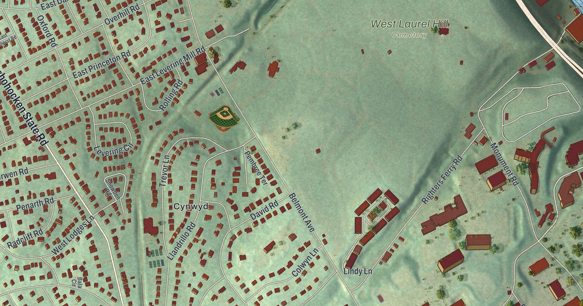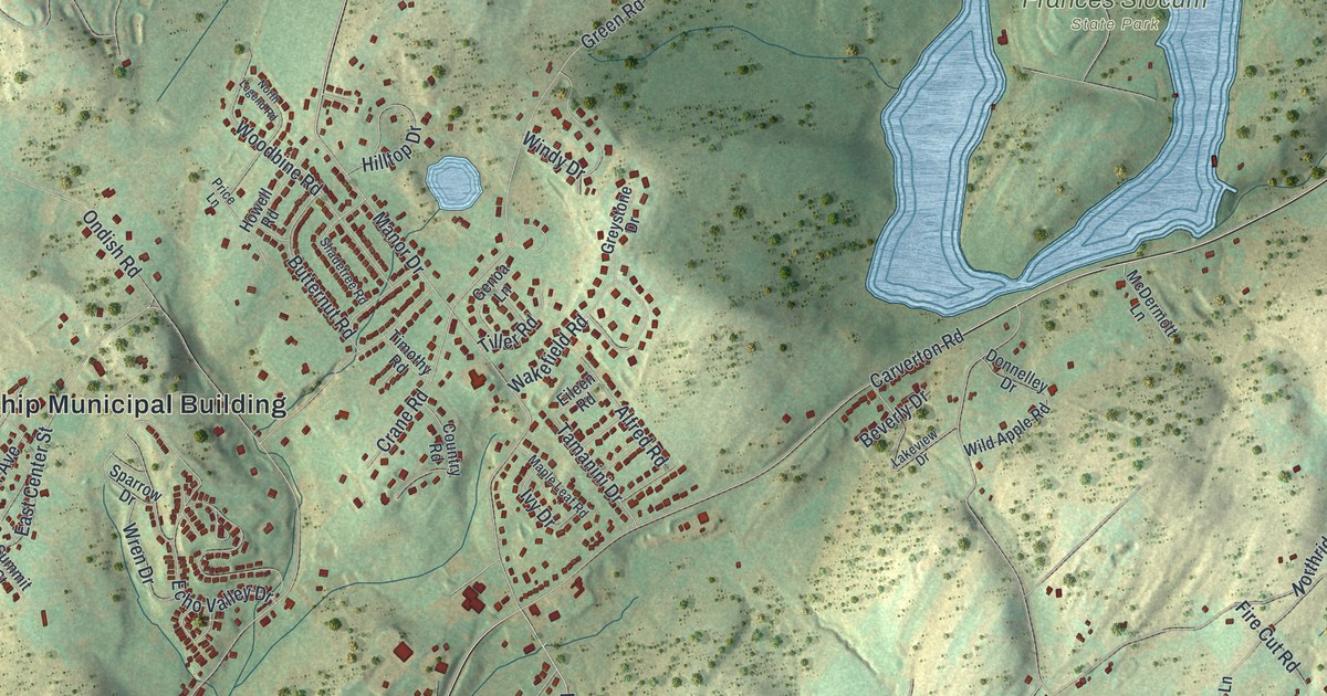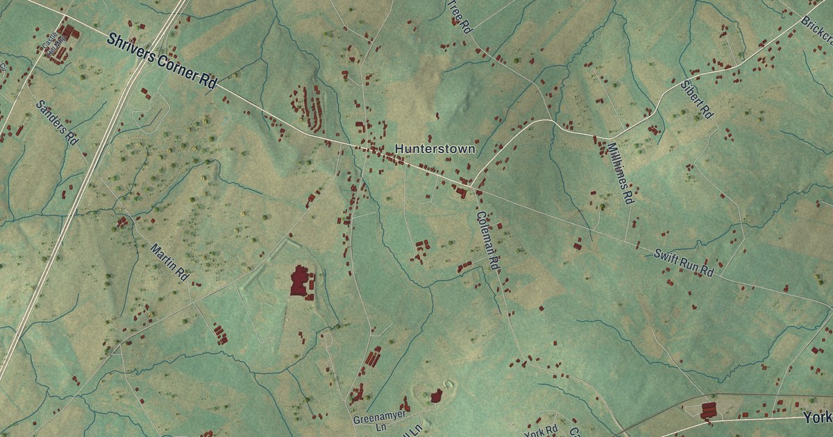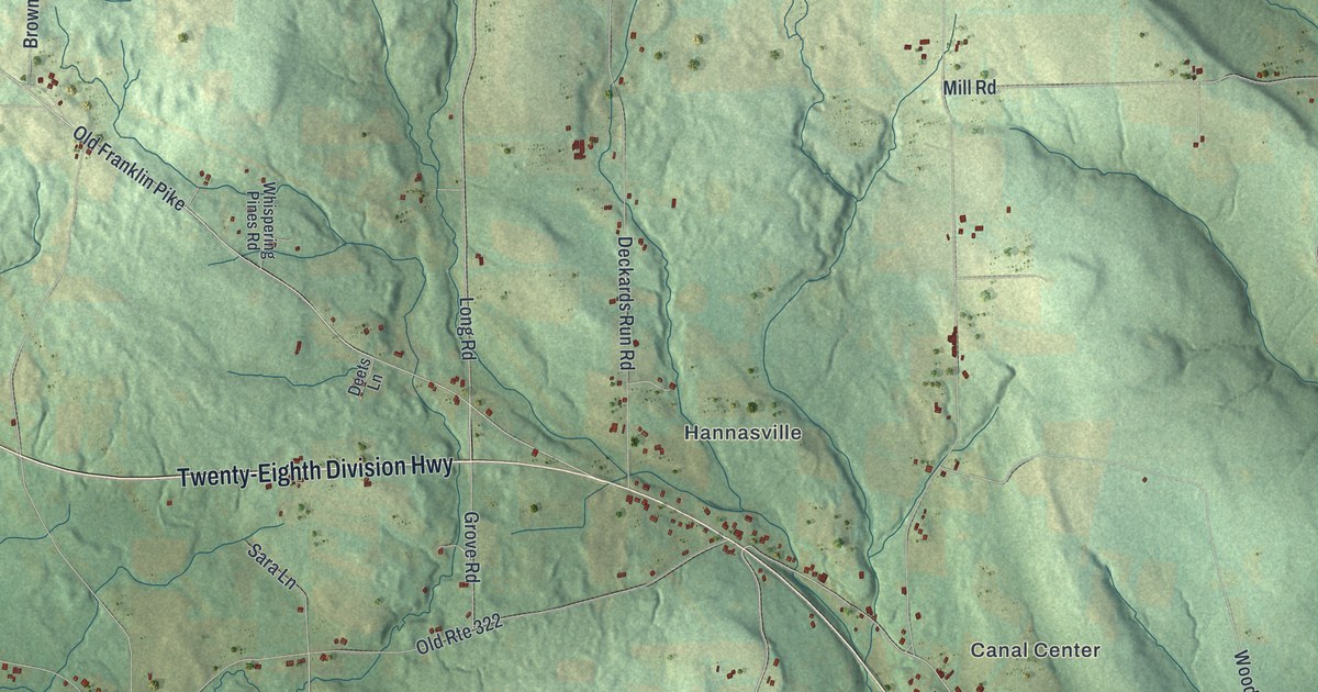
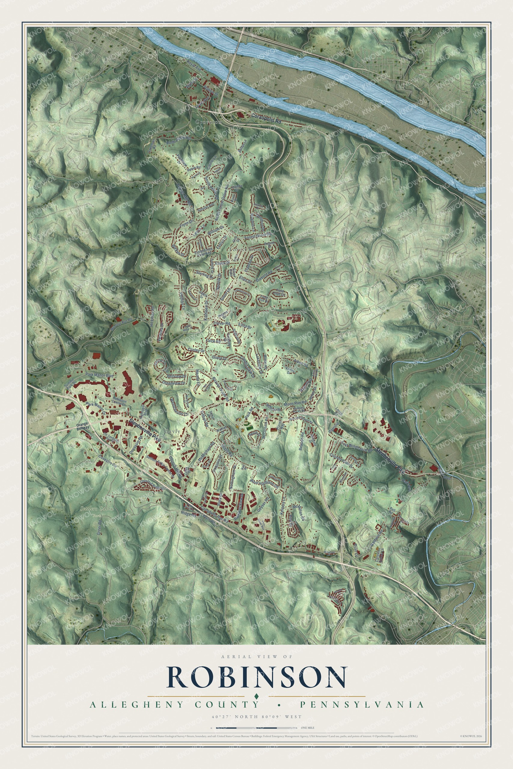
This beautifully detailed map of Robinson, Allegheny County, Pennsylvania was created in 2026 using aerial imagery combined with modern topographical, census, street and landmark data. It’s a one-of-a-kind view of Robinson that combines accurate data with a vintage aesthetic. The map shows every building in its true location, many of the roads carry their names, and the shaded topographic relief shows the shape of the land.
Explore an aerial view of Robinson, Allegheny County, Pennsylvania
On the map you’ll find Burkett Park, Clever Park, Settlers Cabin Park, Forest Grove, Gayly, Groveton, and Patricia, along with Steubenville Pike, Coraopolis Road, Forest Grove Road, Ewings Mill Road, North Forest Grove Road, and more. If you look closely you can even find your house accurately drawn in its correct location. Zoom in on the preview to look for yours.
Did you know this piece of Robinson, Allegheny County, Pennsylvania history?
Robinson Township’s first permanent settler was James Bell, a man of Scottish roots. Captured by Indians at fourteen, he lived with them for several years before going home to Virginia. In the fall of 1768, he and his brother John traveled to Chartiers Creek and marked out land claims. They brought their families the next spring, and James lived here to an old age. That’s from the 1889 History of Allegheny County, Pennsylvania.
Take a closer look at the Robinson, Allegheny County map
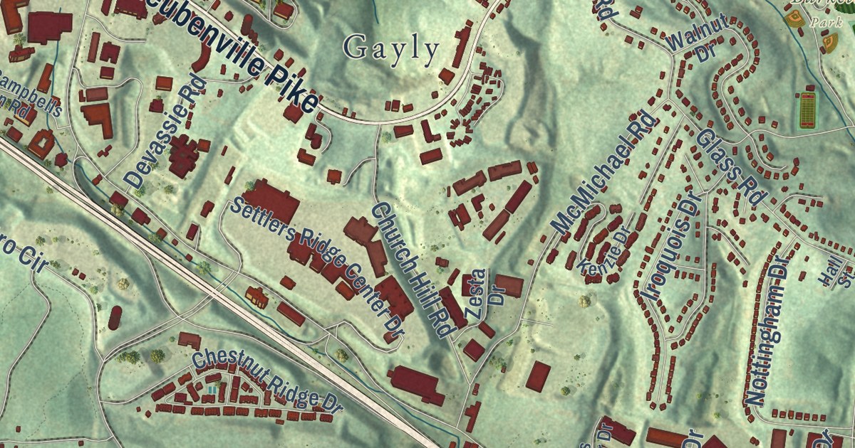
Street and place names on the Robinson, Allegheny County, Pennsylvania map
These names are printed on the map of Robinson, Allegheny County, Pennsylvania.
Places: Burkett Park, Settlers Cabin Park, Forest Grove, Gayly and Groveton.
Streets and roads: Steubenville Pike, Coraopolis Road, Forest Grove Road, Patricia, Ewings Mill Road, North Forest Grove Road, Campbells Run Road, Clever Road, Silver Lane, Beaver Grade Road, Aiken Road, Country Club Drive.
More street names, A to Z
Amy Drive, Arbor Trail Drive, August Drive, Baldwin Road, Beacon Road, Beech Drive, Bellan Lane, Bell Court Road, Bell Road, Bellview Circle, Bellview Drive, Blackheath Drive, Boyce Road, Brookside Drive, Buratti Drive, Burkes Drive, Bus Center Drive, Calvin Drive, Camelot Circle, Carlynton School Lane, Castle Lane, Chestnut Ridge Drive, Church Hill Road, Cobblestone Circle, Coketown Road, Conley Drive, Countryview Drive, Coventry Drive, Covestro Circle, Dendron Drive, Devassie Road, Diana Drive, Diebold Road, East Windhaven Road, Elco Drive, Ellen Drive, Elliot Drive, Essex Drive, Evelyn Drive, Evelyn Drive Extended, Falck Road, Fawnvue Drive, Field Club Circle, Field Club Drive, Flynn Drive, Frances Drive, Geyser Road, Glass Road, Glenora Drive, Grace Manor Drive, Greenview Drive, Greer Road, Hall Street, Helen Street, Hickman Road, Hightower Boulevard, Iroquois Drive, Jeff, Juanita Drive, Kathleen Drive, Keiners Lane, Kenzie Drive, Lakeview Drive, Leona Lane, Lewis Avenue, Lorish Road, Magnolia Drive, Magnus Lane, McCormick Road, McKees Rocks Road, McMichael Road, McMillan Road, Meade Drive, Montour Run Road, Moon Run Road, Napor Boulevard, Norfolk Drive, North Petrie Road, Northridge Circle, Nottingham Drive, Old Campbells Run Road, Orange Beltway, Oxford Drive, Park Avenue, Park Manor Boulevard, Park Manor Drive, Park Road, Parkway View Drive, Park West Place, Penn Center Boulevard, Petrie Road, Phillips Lane, Plainview Drive, Planet Way, Regina Drive, Ridge Road, Robin Hill Drive, Robin Road, Robinson Center Drive, Royal Avenue, Ryan Court, School Street, Schorr Drive, Schuler Avenue, Scottdale Drive, Settlers Ridge Center Drive, Silver Oaks, South Petrie Road, Stafford Drive, Statia Street, Station Street, Sterling Drive, Suffolk Drive, Summer Drive, Summit Park Drive, Sunset Drive, Thorncliffe Drive, Tidball Road, Tudor Lane, Ventana Drive, Venus Drive, Vista Drive, Walnut Drive, Waterford Drive, Westchester Court, West Harbison Road, West Windhaven Road, William Drive, Wilma Drive, Windover Drive, Windsor Court, Wingate Drive, Winter Road, Woodcrest Drive, Zesta Drive.
See the Robinson, Allegheny County, Pennsylvania map on a wall
The Robinson, Allegheny County map as an 18 x 24 inch print in a black frame.

This beautifully detailed map of Robinson, Allegheny County makes an attractive addition to your office, library, or den, and it can even be used to teach children the geography and history of the area. It also makes a great gift for anyone who grew up in Robinson or moved away. When you’re done exploring, click here to get your copy of the Robinson, Allegheny County map.