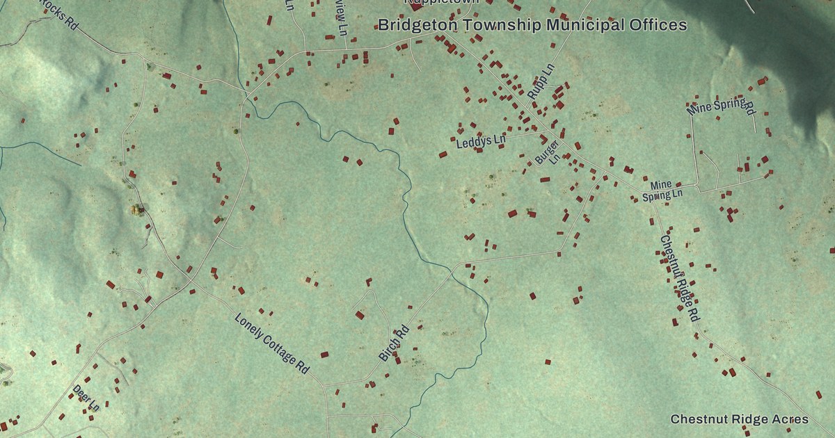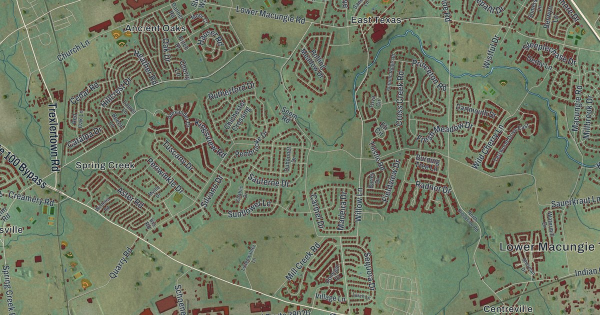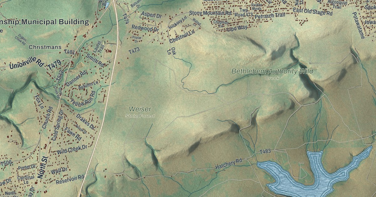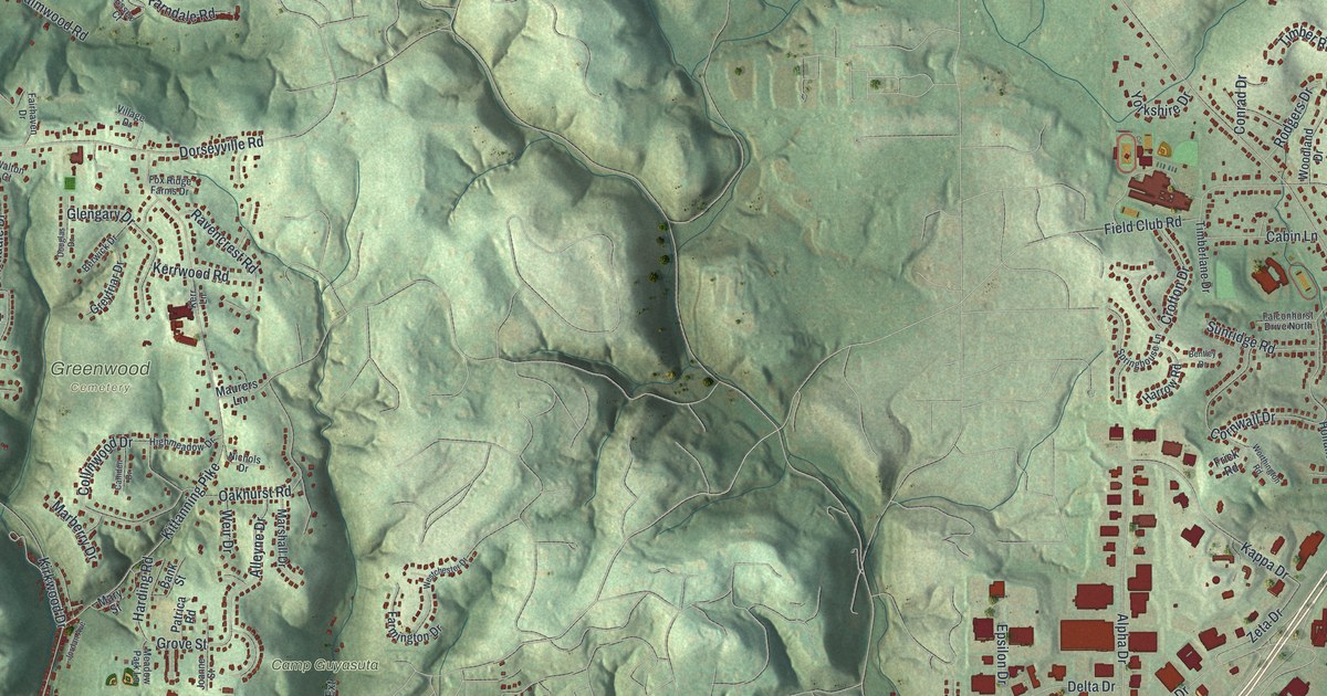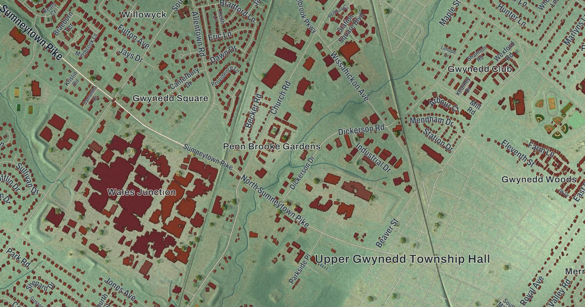
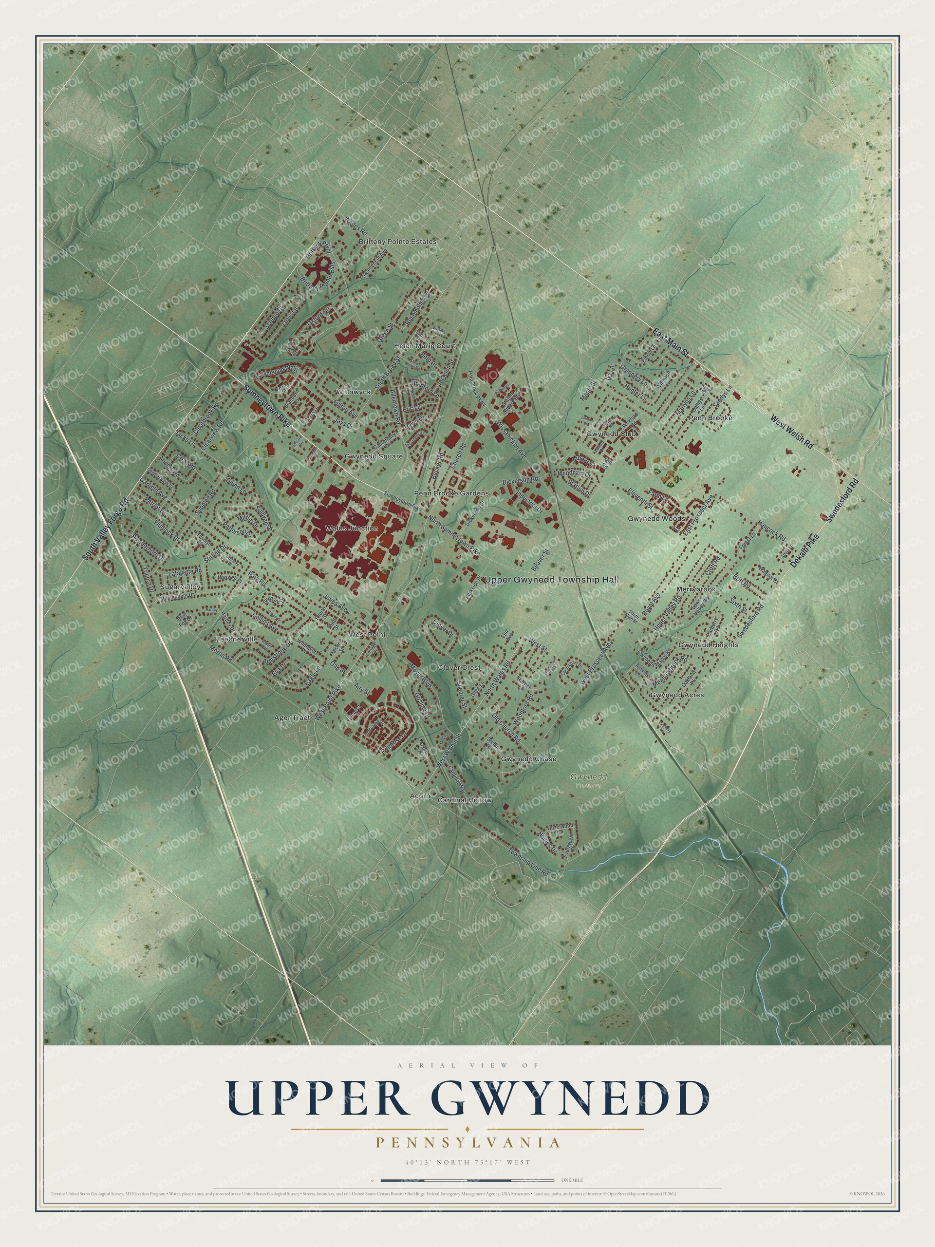
This beautifully detailed map of Upper Gwynedd, Pennsylvania was created in 2026 using aerial imagery combined with modern topographical, census, street and landmark data. It's a modern aerial view of Upper Gwynedd in Montgomery County, Pennsylvania, that combines modern data with a vintage aesthetic. The roads feature printed names, and if you look closely you can find your exact house accurately shown in its correct location.
Explore an aerial view of Upper Gwynedd, Pennsylvania
On this map you'll find Upper Gwynedd Township Hall, Gwynedd Preserve, Acorn, Ager Tract, Brittany Pointe Estates, Cardinal Hollow, Clover Crest, Gwynedd Acres, Gwynedd Chase, Gwynedd Club, Gwynedd Heights, Gwynedd Square, and more. Each red shape is a building, so zoom in on the preview and look for yours.
Upper Gwynedd has a story worth telling. The record at data.pa.gov puts it this way: "Abolitionists Thomas and Hannah Atkinson and other members of Upper Dublin Friends Meeting conducted an Underground Railroad station at the farm next door."
Upper Gwynedd is a place in Montgomery County. The Census Bureau counted 17,072 people here in 2020.
Take a closer look at the Upper Gwynedd map
Names on this map
These names are printed on this map.
Places: Upper Gwynedd Township Hall, Gwynedd Preserve, Acorn, Ager Tract, Brittany Pointe Estates, Cardinal Hollow, Clover Crest, Gwynedd Acres, Gwynedd Chase, Gwynedd Club, Gwynedd Heights, Gwynedd Square, Gwynedd Woods, Heebnerville, Helen Marie Court, Merrybrook, Penn Brooke, Penn Brooke Gardens, Sugarvalley, Wales Junction, West Point and Willowyck.
Streets and roads: Sumneytown Pike, East Main Street, West Welsh Road, South Valley Forge Road, Dekalb Pike, Swedesford Road, West Point Pike, West Walnut Street, North Sumneytown Pike, Arbour Court, South Broad Street, Morris Road.
More street names, A to Z
Acorn Lane, Airy Street, Aldrin Avenue, Allentown Road, Amity Lane, Anders Road, Armstrong Drive, Barberry Road, Beaver Street, Becker Road, Beth Drive, Blue Fox Drive, Bradford Lane, Braeburn Terrace, Brittany Point, Brittany Pointe Ests, Britt Road, Canterbury Drive, Cardinal Way, Carmichael Drive, Cathys Lane, Church Road, Clearbrook Road, Clearview Road, Clover Drive, Collins Avenue, Conway Place, Cottage Avenue, Crest Road, Croft Road, Dawn Drive, Dickerson Drive, Dickerson Road, Eagle Lane, East Prospect Avenue, Elbow Lane, Eleventh Street, Elm Avenue, Eric Lane, Eva Drive, Evergreen Drive, Farm Lane, Flintlock Drive, Forest Lane, Fourth Street, Fulton Avenue, Gage Lane, Garfield Avenue, General Nash Drive, Goldenrod Drive, Gosling Drive, Grannery Lane, Green Street, Grissom Drive, Gwynedale Way, Gwynedd Manor Road, Haines Drive, Hancock Road, Harper Lane, Hartley Drive, Hartley Place, Hazelwood Drive, Hunter Lane, Industrial Drive, Ivy Lane, Jacks Lane, Jackson Street, Jarvis Lane, Jays Drive, Jenkins Lane, Jfk Drive, Jones Avenue, Kearney Drive, Keats Court, Keith Lane, Kristin Circle, Lafayette Road, Langberg Lane, Lenape Drive, Lilac Court, Lower Valley Road, Mallard Place, Maple Street, Marlbrook Lane, Marlyns Lane, Maxwell Place, Meadowbrook Road, Mendham Drive, Mifflin Drive, Mill Road, Moyer Boulevard, Muhlenberg Drive, North Wales Road, Oakland Place, Oak Street, Old Church Road, Oxford Circle, Park Road, Parkside Place, Patriot Drive, Patterson Drive, Pennbrook Parkway, Powderhorn Drive, Primrose Drive, Providence Lane, Quinn Lane, Reading Circle, Rosemont Avenue, Royal Avenue, Samantha Court, Sandys Lane, Scobee Drive, Second Street, Shannon Road, Shearer Street, Shepard Drive, Sixth Street, South Main Street, State Street, Station Drive, Station Square Boulevard, Stefan Road, Stirling Drive, Stony Creek Avenue, Sullivan Drive, Supplee Road, Third Street, Towamencin Avenue, Township Line Road, Tricorn Drive, Twinlyn Drive, Upper Valley Road, Valley Drive, Wagner Court, Washington Avenue, Weber Road, West Prospect Avenue, West Street, Wexford Road, Wheaton Lane, Whites Road, Whitney Place, Whittaker Place, Wissahickon Avenue, Woodford Road.
Created by KNOWOL in 2026. The buildings are small red shapes, the roads carry their printed names, and shaded relief shows the shape of the land. The title panel reads "AERIAL VIEW OF UPPER GWYNEDD PENNSYLVANIA" with 4, 0, °, 1, 3, ', , N, O, R, T, H, , 7, 5, °, 1, 7, ', , W, E, S, T.
It looks right in a kitchen, an office or a den, and it's a gift for anyone who grew up in Upper Gwynedd or moved away. Open the preview and find your street. See sizes and frames for the Upper Gwynedd map.