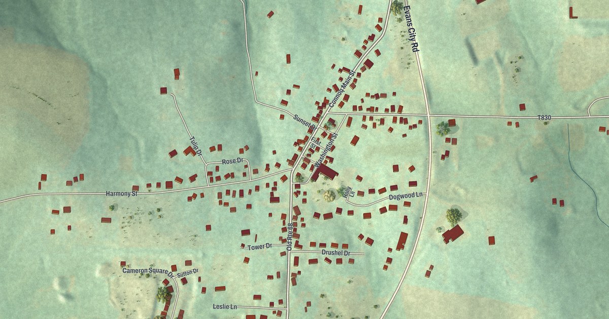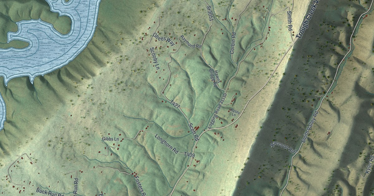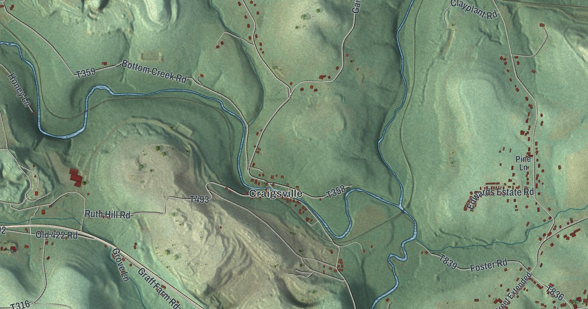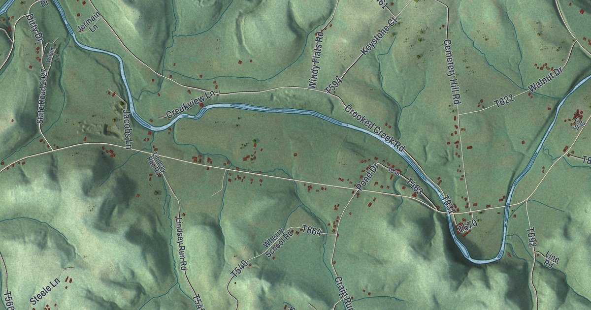
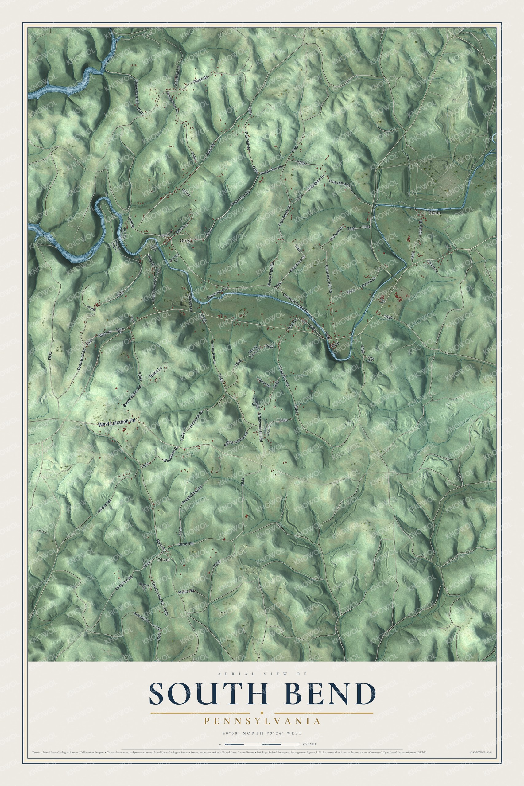
This beautifully detailed map of South Bend, Pennsylvania was created in 2026 using aerial imagery combined with modern topographical, census, street and landmark data. It's a modern aerial view of South Bend in Armstrong County, Pennsylvania, that combines modern data with a vintage aesthetic. The roads feature printed names, and if you look closely you can find your exact house accurately shown in its correct location.
Explore an aerial view of South Bend, Pennsylvania
On this map you'll find Idaho, Olivet, Girty, West Lebanon Road, T517, Townsend Road, Suger Run Road, Dirty Drive, Sugar Run Road, Girty Road, T589, T602, and more. Each red shape is a building, so zoom in on the preview and look for yours.
South Bend has a story worth telling. The PA Roots puts it this way: "Absalom Woodward was first assessed with grist and saw mills in 1811, which he had erected on the southeastern part of the William Cowden tract, on the south side of Plum creek, in the northeastern part of the present township of South Bend, where he resided for many years, and where he died in August, 1833."
South Bend is a place in Armstrong County. The Census Bureau counted 1,006 people here in 2020.
Take a closer look at the South Bend map
Names on this map
These names are printed on this map.
Places: Idaho, Olivet and Girty.
Streets and roads: West Lebanon Road, Townsend Road, Suger Run Road, Dirty Drive, Sugar Run Road, Girty Road, Oak Hill Road, Cherry Run Hill, Crooked Creek Road, Grapevine Hill Road, Keystone Court, Craig Run Road.
More street names, A to Z
Ankeny Road, Apple Drive, Apple Road, Autumn Lane, Barrel Valley Road, Beagle Club Road, Bluebird Lane, Cardinal Lane, Cemetery Hill Road, Cherry Hollow Road, Cng Street, County Line Road, Crab Apple Drive, Crabapple Drive, Creekview Lane, Forest Lane, Girty Drive, Hemlock Road, Hill Lane, Idaho Road, Jacobs Lane, Jermain Lane, Knize Road, Laurel Loop Lane, Lindsay Run Road, Lindsey Run Road, Line Road, Long Run Road, Main Street, Maple Road, Olivet Road, Orchard Drive, Pencola Drive, People Gas Road, Pine Hill Road, Pond Drive, Ridge Road, Schall Lane, Spring Hollow Road, Sr2026, State Road 2027, Steele Lane, Stoney Point Road, Wagner Lane, Walnut Drive, Wherry School Road, Wilson Road, Windy Flats Road, Woodland Drive, Wright Lane.
Created by KNOWOL in 2026. The buildings are small red shapes, the roads carry their printed names, and shaded relief shows the shape of the land. The title panel reads "AERIAL VIEW OF SOUTH BEND PENNSYLVANIA" with 4, 0, °, 3, 8, ', , N, O, R, T, H, , 7, 9, °, 2, 4, ', , W, E, S, T.
It looks right in a kitchen, an office or a den, and it's a gift for anyone who grew up in South Bend or moved away. Open the preview and find your street. See sizes and frames for the South Bend map.