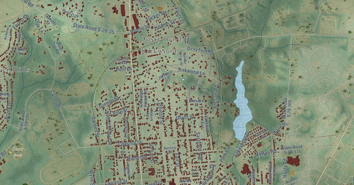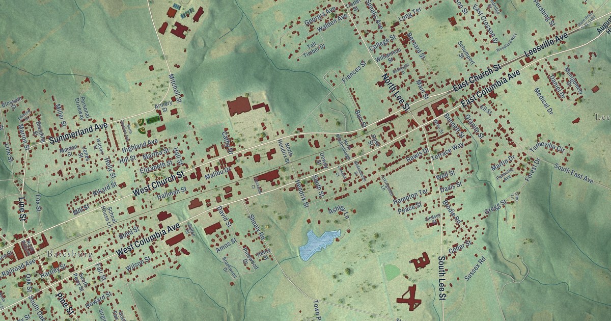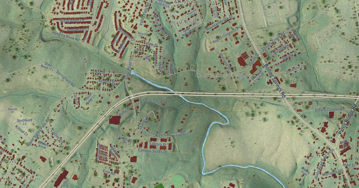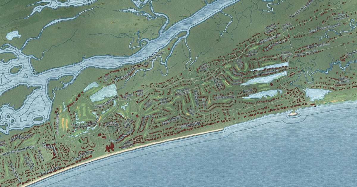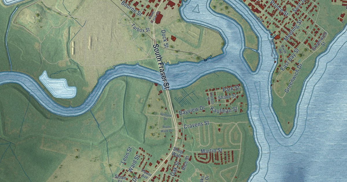
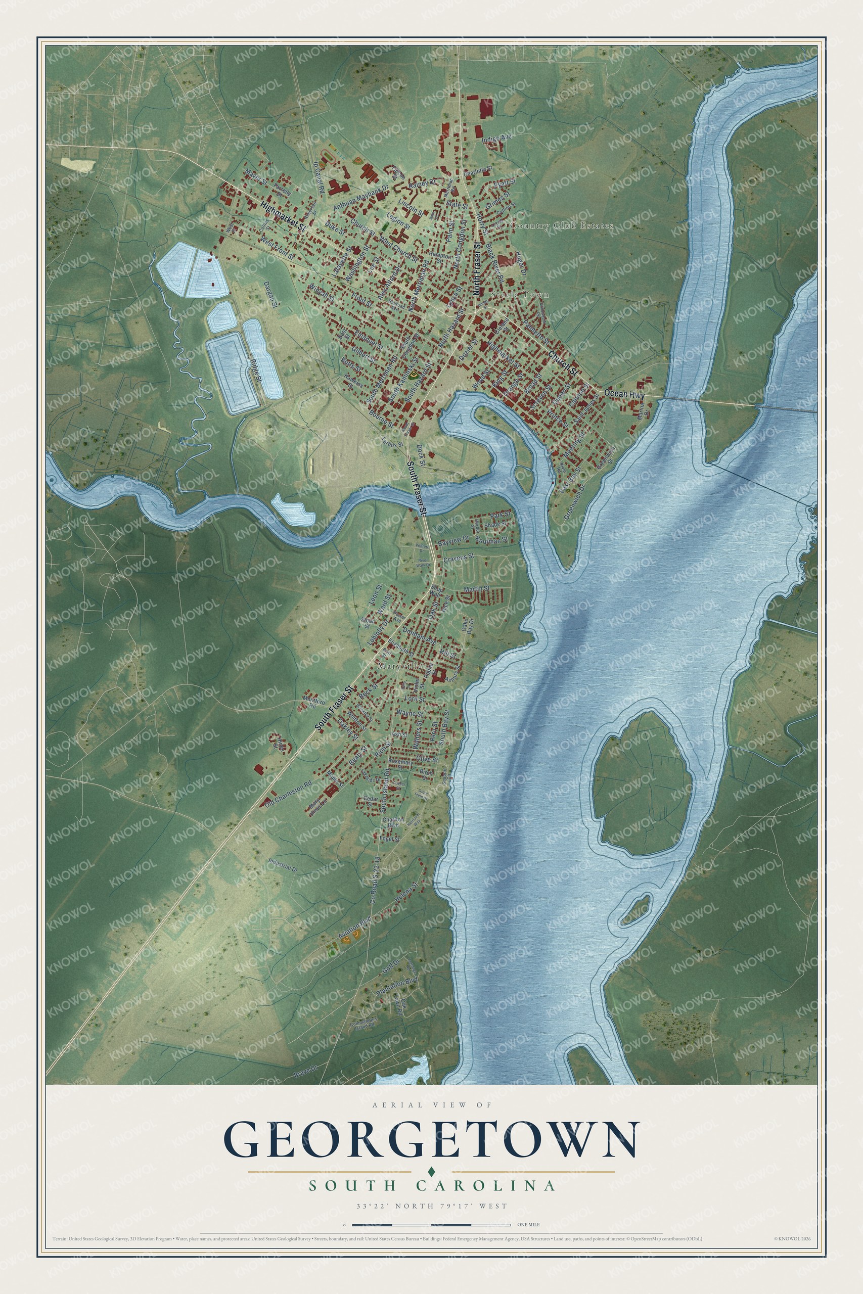
This beautifully detailed map of Georgetown, South Carolina was created in 2026 using aerial imagery combined with modern topographical, census, street and landmark data. It's a modern aerial view of Georgetown in Georgetown County, South Carolina, that combines modern data with a vintage aesthetic. The roads feature printed names, and if you look closely you can find your exact house accurately shown in its correct location.
Explore an aerial view of Georgetown, South Carolina
On this map you'll find Country Club Estates, Steele Town, Maryville, South Fraser Street, Ocean Highway, Church Street, Highmarket Street, North Fraser Street, South Merriman Road, North Merriman Road, South Kaminski Street, Alex Alford Drive, and more. Each red shape is a building, so zoom in on the preview and look for yours.
Georgetown has a story worth telling. The record at scencyclopedia.org puts it this way: "Located at the confluence of the Sampit River and Winyah Bay, Georgetown was founded by Elisha Screven in 1729 and is the third oldest town in South Carolina."
Georgetown is a city in Georgetown County. The Census Bureau counted 8,403 people here in 2020.
Take a closer look at the Georgetown map
Names on this map
These names are printed on this map.
Places: Country Club Estates, Steele Town and Maryville.
Streets and roads: South Fraser Street, Ocean Highway, Church Street, Highmarket Street, North Fraser Street, South Merriman Road, North Merriman Road, South Kaminski Street, Alex Alford Drive, Hill Street, Duke Street, South Bay Street.
More street names, A to Z
Anthuan Maybank Drive, Asbury Street, Ash Street, Aviation Boulevard, Bayview Drive, Beaty Street, Beck Street, Birch Street, Black River Road, Bonds Street, Bourne Street, Brave Drive, Brinkley Street, Britt Street, Broad Street, Butts Street, Cannon Street, Cedar Street, Charlotte Street, Charlton Boulevard, Cleland Street, Collins Street, Commanders Island Road, Cooper Street, County Road S-22-18, Cravens Street, Cuttino Street, Dargan Street, Dock Street, Donham Avenue, Dozier Street, East Bay Street, East Street, Elizabeth Street, Emanuel Street, Falcon Street, Farrelly Street, Fern Street, Fogel Street, Front Street, Gilbert Street, Golf Drive, Grain Field Drive, Greenwich Drive, Greenwich Street, Grimes Street, Hampton Street, Harbor Street, Hawkins Street, Heirloom Way, Helena Street, Hines Street, Horry Street, Huger Drive, Indigo Avenue, Industrial Drive, Ip Canal Road, Kaufman Street, King Street, Lafayette Street, Lagrange Road, Lakeside Drive, Lee Street, Legion Street, Leon Street, Lincoln Street, Loblolly Drive, Loril Street, Lucas Street, Lynch Street, Maple Street, Marina Drive, Martin Street, Mary Hines Lane, Mayer Street, Meeting Street, Merriman Road, Montford Road, North Congdon Street, North Hazard Street, Oak Lawn Road, Oakley Street, Oaks Bay Drive, Oak Street, Old Charleston Road, Olive Street, Orange Street, Palmetto Street, Palm Street, Park Street, Pate Court, Plantation Boulevard, Poplar Street, Power Avenue, Prince Street, Pyatt Street, Queen Street, Railroad Avenue, Rainey Drive, Reservoir Street, Rice Street, Ridge Street, Rion Street, River Road, River Walk Drive, Rosemary Street, Saint James Street, Screven Street, Seaport Circle, Shade Street, Shop Wall, Sloan Street, South Congdon Street, South Hazard Street, South Island Road, State Street, Tarbox Street, Tulip Street, Venture Drive, Violet Street, Ward Street, Washington Street, Wayne Street, West Church Street, West Front Street, West Street, Whitton Street, Willowbank Road, Winyah Street, Withers Street, Wood Street.
Created by KNOWOL in 2026. The buildings are small red shapes, the roads carry their printed names, and shaded relief shows the shape of the land. The title panel reads "AERIAL VIEW OF GEORGETOWN SOUTH CAROLINA" with 33°22' NORTH 79°17' WEST.
It looks right in a kitchen, an office or a den, and it's a gift for anyone who grew up in Georgetown or moved away. Open the preview and find your street. See sizes and frames for the Georgetown map.