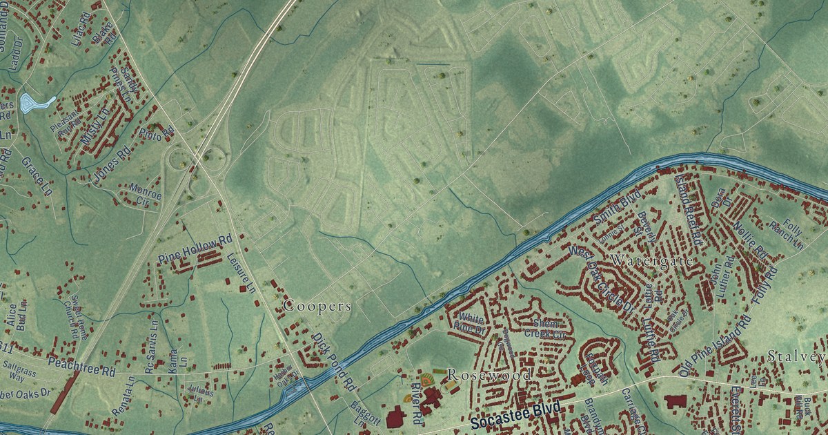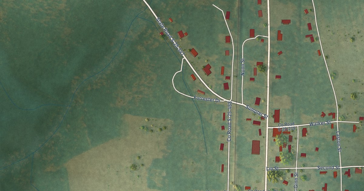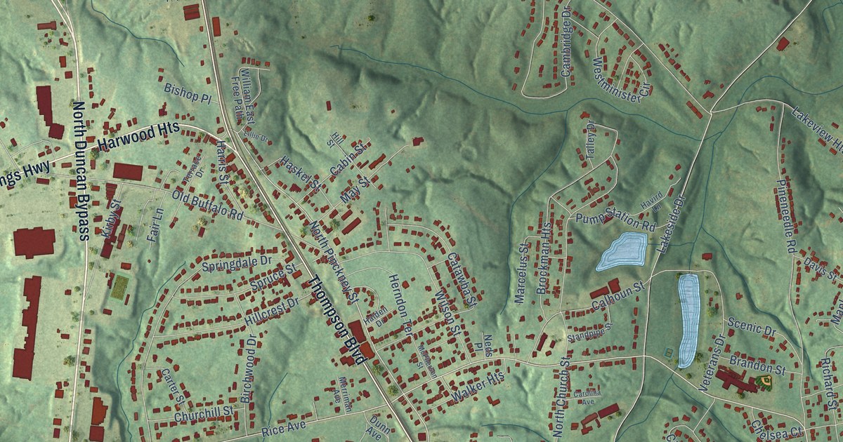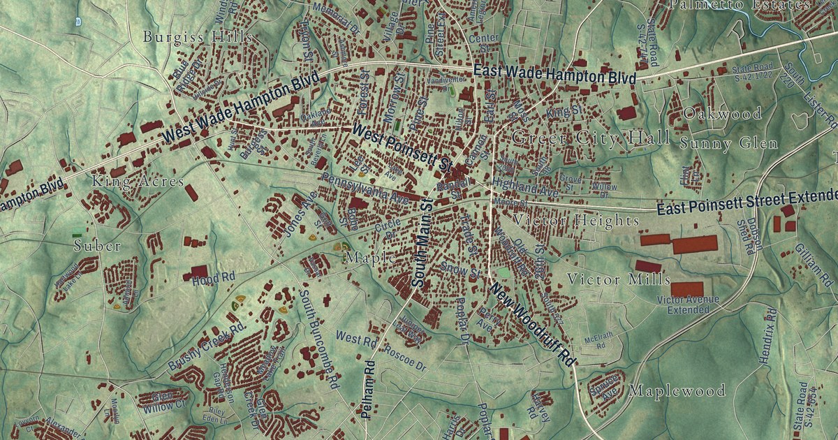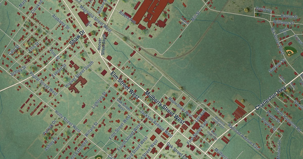
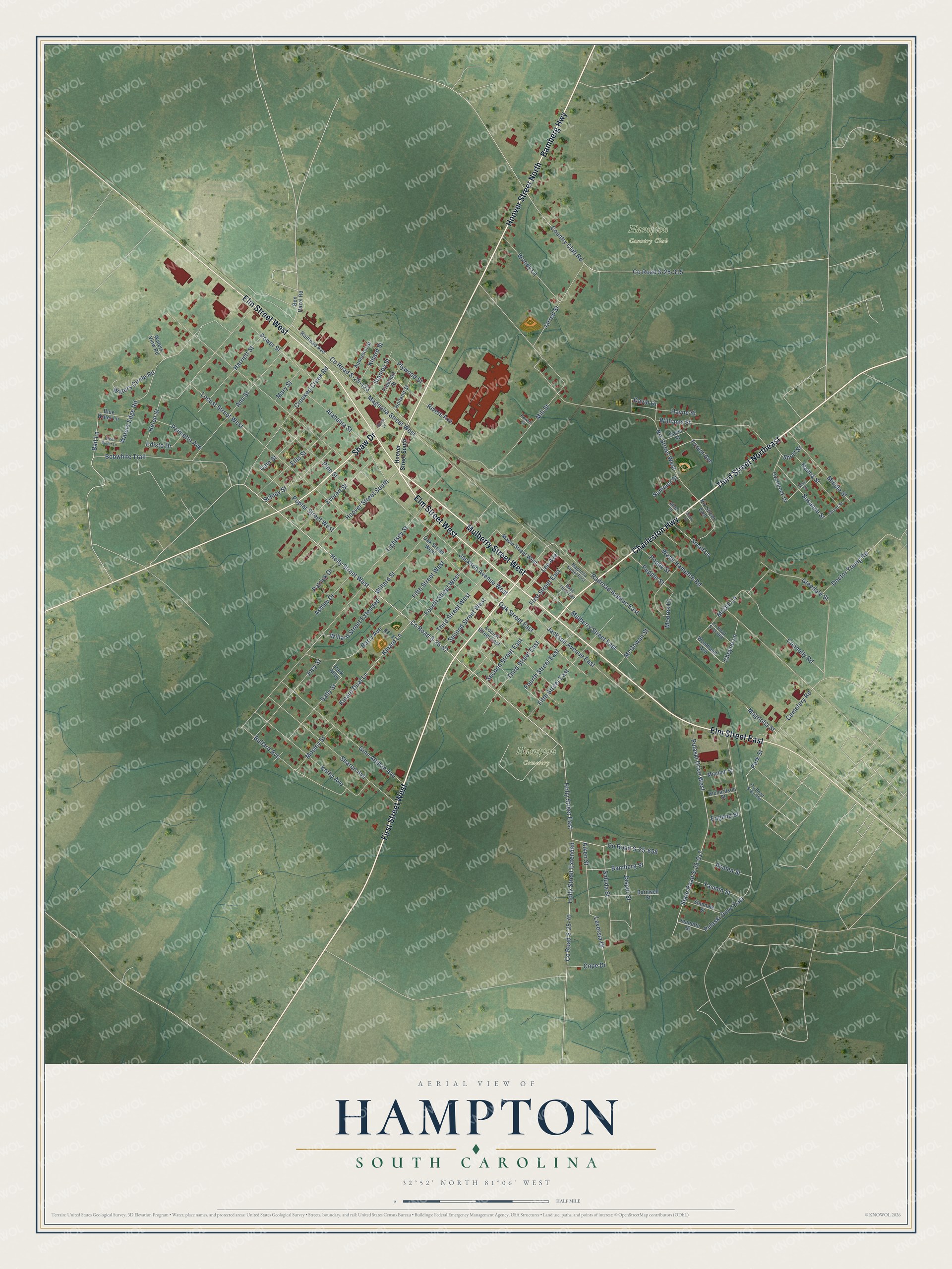
This beautifully detailed map of Hampton, South Carolina was created in 2026 using aerial imagery combined with modern topographical, census, street and landmark data. It's a modern aerial view of Hampton in Hampton County, South Carolina, that combines modern data with a vintage aesthetic. The roads feature printed names, and if you look closely you can find your exact house accurately shown in its correct location.
Explore an aerial view of Hampton, South Carolina
On this map you'll find Hampton Country Club, Hampton Cemetery, First Street West, Third Street Northeast, Bamberg Highway, Charleston Highway, Elm Street East, Elm Street West, Shaw Drive, Hoover Street North, Mulberry Street West, Mulberry Street East, and more. Each red shape is a building, so zoom in on the preview and look for yours.
Here is a piece of Hampton history, in the words of the record. The record at scencyclopedia.org puts it this way: "Hoover’s also became home to Hampton’s first modern industry, Plywoods-Plastics, and to schools, housing developments, and the West End business district."
Hampton is a town in Hampton County. The Census Bureau counted 2,694 people here in 2020.
Take a closer look at the Hampton map
Names on this map
These names are printed on this map.
Places: Hampton Country Club and Hampton Cemetery.
Streets and roads: First Street West, Third Street Northeast, Bamberg Highway, Charleston Highway, Elm Street East, Elm Street West, Shaw Drive, Hoover Street North, Mulberry Street West, Mulberry Street East, County Road S-25-87, Lee Avenue.
More street names, A to Z
Aiken Street, Alabama Street, Alma Street, Anderson Street, Ann Street, Ashley Drive, Azalea Street, Bait Lane, Bamberg Street, Barnwell Street, Barry Avenue, Ben Hazel Road, Blue Water Lane, Bobwhite Trail, Bullard Avenue, Cain Street, Cemetery Road, Cheyne Lane, Connelly Road, Cope Drive, Country Club Road, County Road S-25-70, County Road S-25-123, County Road S-25-315, County Road S-25-356, County Road S-25-658, County Road S-25-668, Crooked Creek Road, David Drive, Davis Street, Doctor Young Road, Edisto Drive, Ellis Street, Eugene Street, Everett Street, Fifth Street East, Fifth Street West, First Street East, Forest Avenue, Fourth Street East, Fourth Street West, Freeman Street, Ginn Altman Avenue, Glendale Street, Green Water Lane, Hanna Street, Harriett Street, Hayne Street, Helen Street, Holland Street, Holly Street East, Holly Street Extended, Holly Street West, Hoover Street South, Jackson Avenue East, Jackson Avenue West, Jarrell Street, Jasper Street, Jeanette Street, Joey Street, Kathy Avenue, Kinard Dual Lane, Kinard Lane, Kinard Street, Leversia Drive, Lightsey Street, Locust Street East, Locust Street West, Magnolia Street, Magnolia Street East, Magnolia Street West, Maple Street East, Maple Street West, Mark Street, Mary Street, McDill Lane, McGowan Street, Middle Street, Mill Street, Mitchell Street, Moore Lane, Moores Lane, Mosley Street, Nix Street East, Nix Street West, Oak Street East, Oak Street West, Oliver Street, Overbrook Drive, Palmetto Avenue, Park Alley, Park Street, Patrick Drive, Pepper Street, Pine Street, Plywood Street, Poplar Street West, Poppy Street, Powell Street, Power Street, Pulaski Drive East, Pulaski Drive West, Railroad Avenue, Railroad Avenue East, Richardson Street, Rivers Avenue, Sally Street, Saluda Street, Schley Street, Second Street East, Second Street West, Sharon Avenue, Short Street, Small Lane, Standale Street, Stanley Street, State Road S-25-517, Summer Street, Susanne Street, Third Street East, Third Street West, Wade Hampton Road, Waters Circle Road, Waters Edge Road, Waters View Road, Willard Street, Willard Street Extended, Williams Street, Woodland Avenue, Woody Lane, Yasmin Street.
Created by KNOWOL in 2026. The buildings are small red shapes, the roads carry their printed names, and shaded relief shows the shape of the land. The title panel reads "AERIAL VIEW OF HAMPTON SOUTH CAROLINA" with 32°52' NORTH 81°06' WEST.
It suits a den, a classroom or a front hall, and it makes a gift for anyone with Hampton roots. Open the preview and find the block you know. See sizes and frames for the Hampton map.