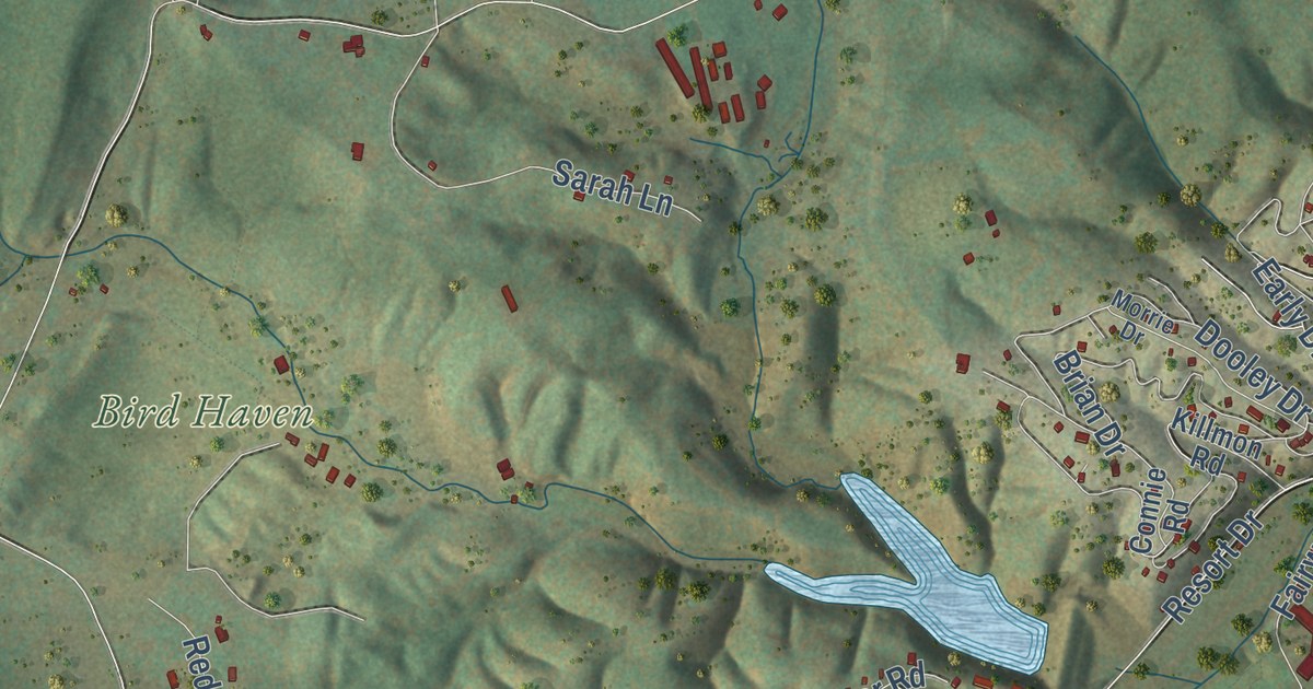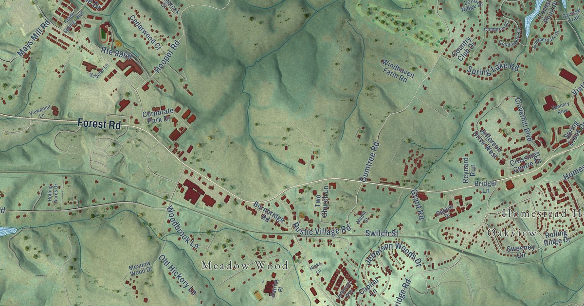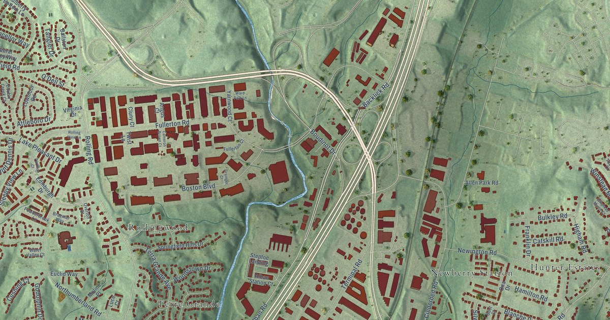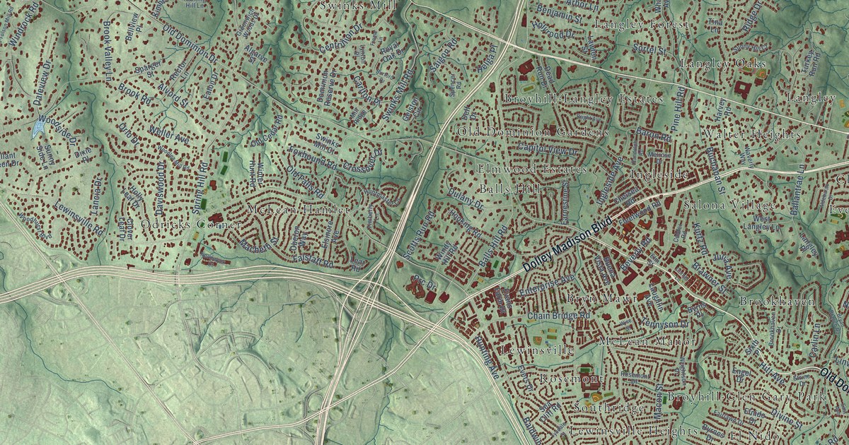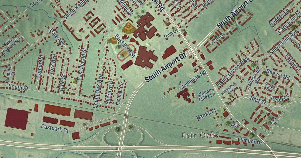
This beautifully detailed map of Highland Springs, Virginia was created in 2026 using aerial imagery combined with modern topographical, census, street and landmark data. It’s a one-of-a-kind view of Highland Springs that combines accurate data with a vintage aesthetic. The map shows every building in its true location, many of the roads carry their names, and the shaded topographic relief shows the shape of the land.
Explore an aerial view of Highland Springs, Virginia
On the map you’ll find Fair Oaks, Manbur, and Fairlawn Heights, along with East Nine Mile Road, Nine Mile Road, West Nine Mile Road, North Airport Drive, South Airport Drive, Hanover Road, North Holly Avenue, Cedar Fork Road, West Vine Street, and more. If you look closely you can even find your house accurately drawn in its correct location. Zoom in on the preview to look for yours.
Did you know this piece of Highland Springs, Virginia history?
From Vcris.dhr.virginia.gov: "One of Richmond's earliest streetcar suburbs, Highland Springs was founded in 1890 by Edmund Sewell Read, a wealthy real estate developer from Winthrop, Mass."
Take a closer look at the Highland Springs map
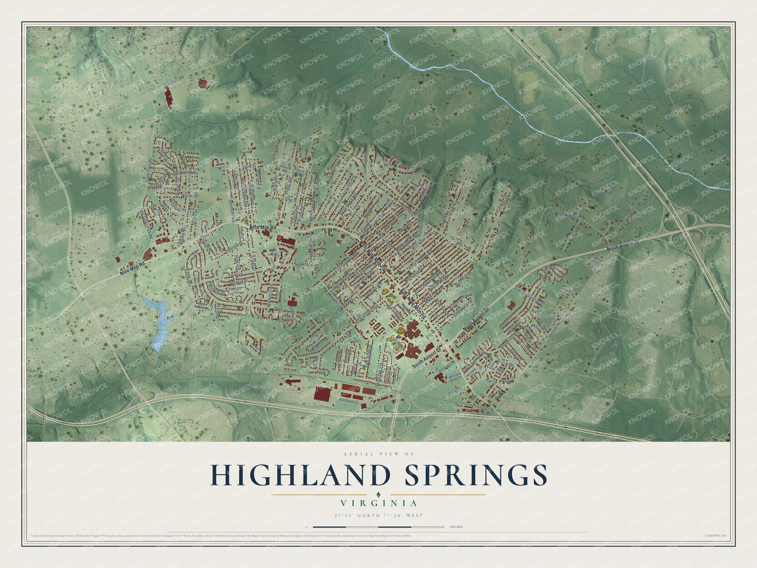
Street and place names on the Highland Springs, Virginia map
These names are printed on the map of Highland Springs, Virginia.
Places: Fair Oaks, Manbur and Fairlawn Heights.
Streets and roads: East Nine Mile Road, Nine Mile Road, West Nine Mile Road, North Airport Drive, South Airport Drive, Hanover Road, North Holly Avenue, Cedar Fork Road, West Vine Street, Oakleys Lane, Pleasant Street, Lee Avenue.
More street names, A to Z
Ainsworth Lane, Airport Place, Apple Grove Lane, Artillery Drive, Ash Avenue, Banks Street, Barker Avenue, Battery Street, Bayard Road, Beauregard Avenue, Beaver Road, Beckley Road, Bending Branch Drive, Besler Lane, Beverstone Road, Biloxi Road, Bowitch Court, Brick Drive, Bridge Street, Brooks Circle, Brooks Road, Buffalo Road, Camero Court, Carlstone Drive, Carmen Lane, Cedar Fork Terrace, Cedarwood Road, Chipper Way, Cloverfield Lane, Colonel Drive, Cosby Street, Cottage Rose Lane, Creighton Road, Dale Avenue, Dale Street, Delbert Drive, Dendron Drive, East Beal Street, East Cedar Fork Road, East Jerald Street, Eastpark Court, East Read Street, East Vine Street, East Washington Street, Elliott Street, Elsing Green Way, Emerson Street, Evergreen Avenue, Farley Court, First Street, Flat Field Terrace, Forest Avenue, Fortingale Circle, Gambrel Drive, Green Pasture Road, Hart Street, Hawkes Lane, Heather Circle, Highland Drive, Hillcrest Avenue, Hitchcock Avenue, Hodder Lane, Jefferson Street, Jennings Road, Junior Drive, Knight Court, Knight Drive, Kramer Drive, Lange Drive, Lee Court, Liberty Avenue, Little Margaret Lane, Longstreet Avenue, Lowell Street, Lumber Drive, Luther Road, Mae Street, Meadows Run, Midage Boulevard, Mullens Lane, Natchez Road, Newbridge Circle, Newbridge Road, North Bridge Street, North Cedar Avenue, North Daisy Avenue, North Elm Avenue, North Grove Avenue, North Ivy Avenue, North Juniper Avenue, North Kalmia Avenue, North Lake Avenue, North Linden Avenue, North Mapleleaf Avenue, North New Avenue, North Oak Avenue, North Pine Avenue, North Rose Avenue, North Spruce Avenue, North Virginia Avenue, North Washington Street, Oakridge Avenue, Orams Lane, Peace Lily Lane, Pine Street, Polaria Avenue, Polaria Street, Quince Avenue, Renee Lane, Repp Circle, Robin Avenue, Rose Ann Lane, Sanderling Avenue, Sharron Road, Sherilyn Drive, Shreveport Road, South Cedar Avenue, South Elm Avenue, South Fern Avenue, South Grove Avenue, South Holly Avenue, South Ivy Avenue, South Kalmia Avenue, South Lake Avenue, South Oak Avenue, South Street, Summer Street, Taft Street, Tech Drive, Third Street, Tiger Lily Lane, Tina Drive, Unname, Wales Drive, West Jerald Street, Westover Avenue, Westover Pines Drive, West Washington Street, William Miles Lane, Wilson Avenue, Woodpost Drive, Wren Road, Wynfield Terrace, Yates Court, Yates Lane, Yates Terrace, York Avenue.
See the Highland Springs, Virginia map on a wall
The Highland Springs map as an 18 x 24 inch print in a black frame.

This beautifully detailed map of Highland Springs makes an attractive addition to your office, library, or den, and it can even be used to teach children the geography and history of the area. It also makes a great gift for anyone who grew up in Highland Springs or moved away. When you’re done exploring, click here to get your copy of the Highland Springs map.