Detailed Map of Uriah, Alabama
A detailed map of Uriah, Alabama, showing every building in its true location, the roads by name, and shaded topographical relief.
Read More
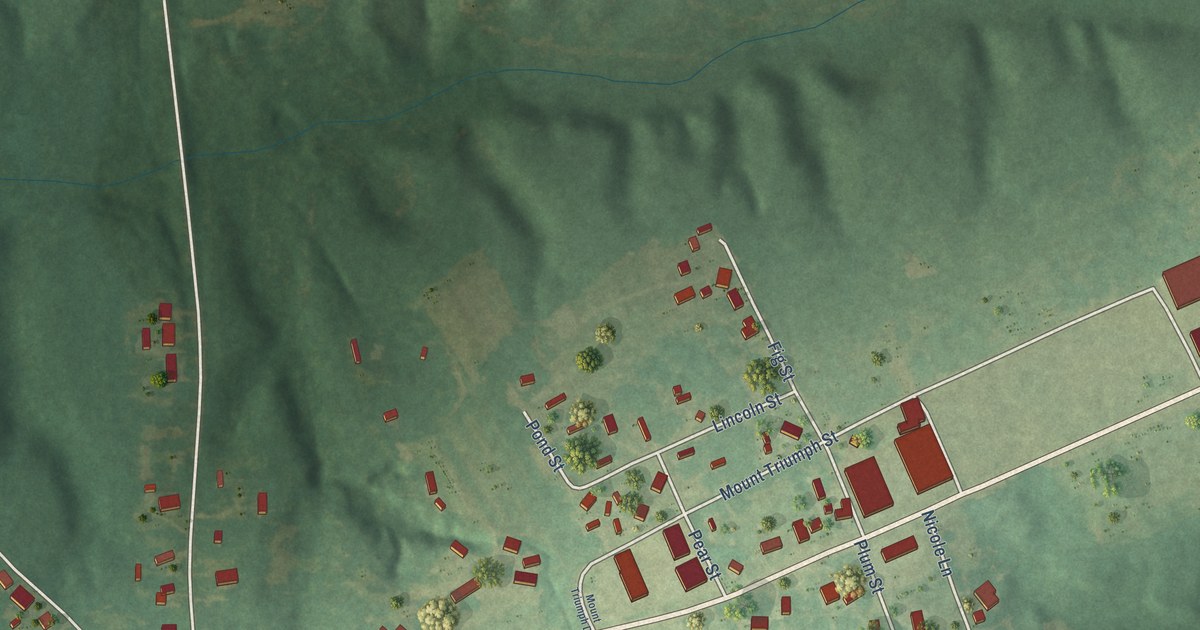
A detailed map of Uriah, Alabama, showing every building in its true location, the roads by name, and shaded topographical relief.
Read More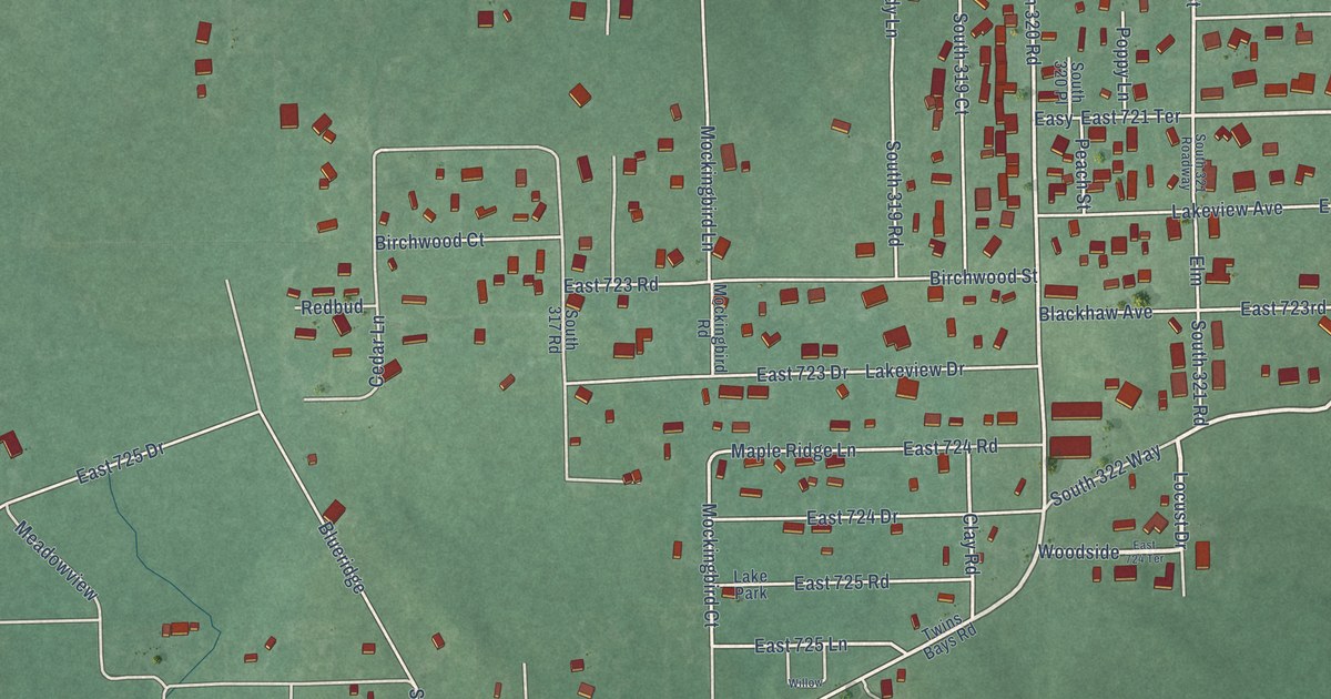
A detailed map of Toppers, Oklahoma, showing every building in its true location, the roads by name, and shaded topographical relief.
Read More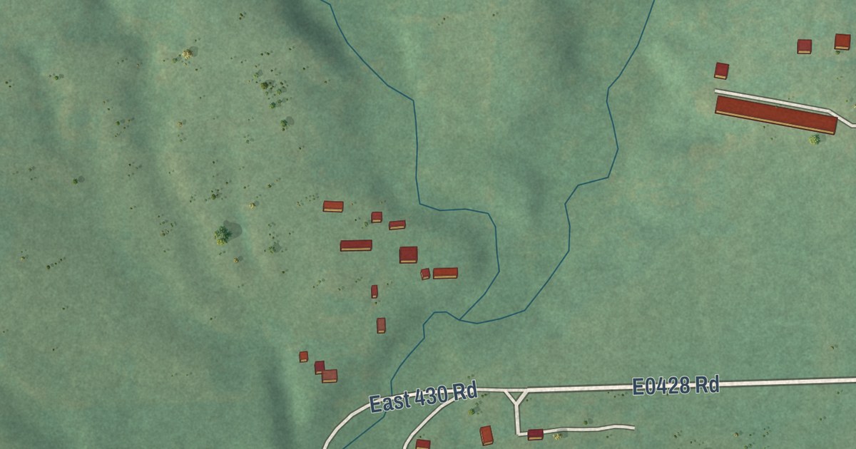
A detailed map of Sycamore, Oklahoma, showing every building in its true location, the roads by name, and shaded topographical relief.
Read More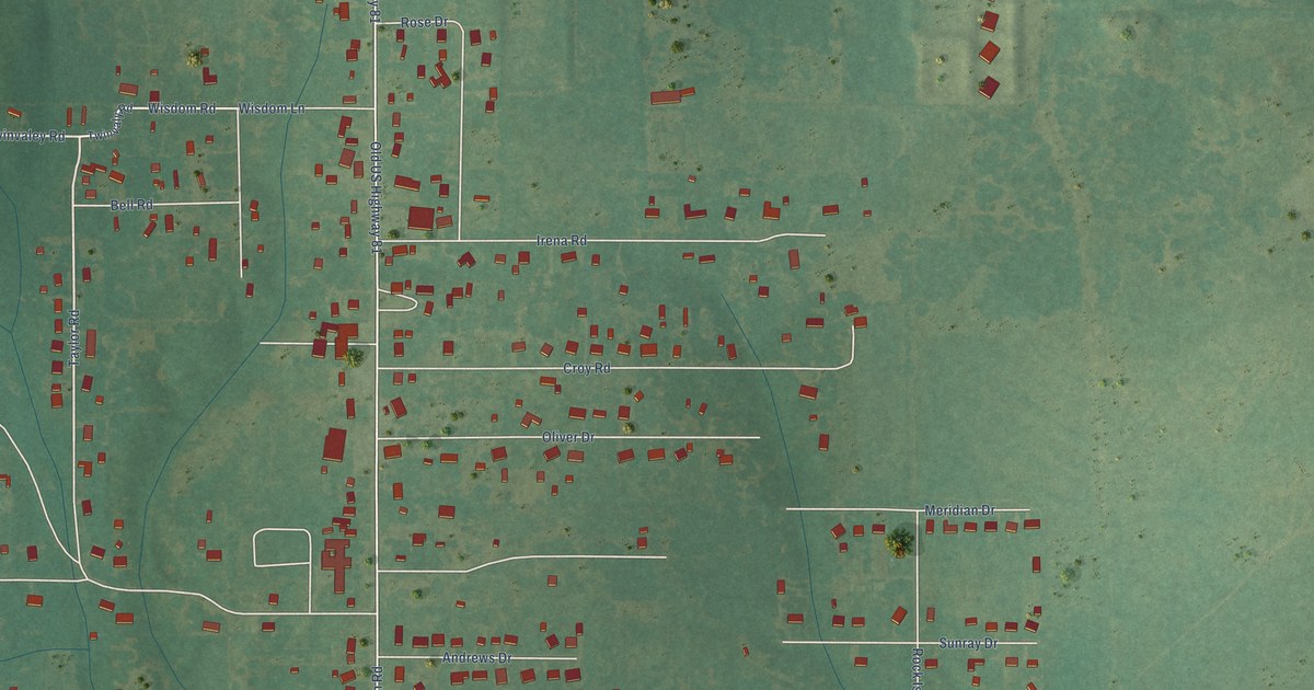
A detailed map of Sunray, Oklahoma, showing every building in its true location, the roads by name, and shaded topographical relief.
Read More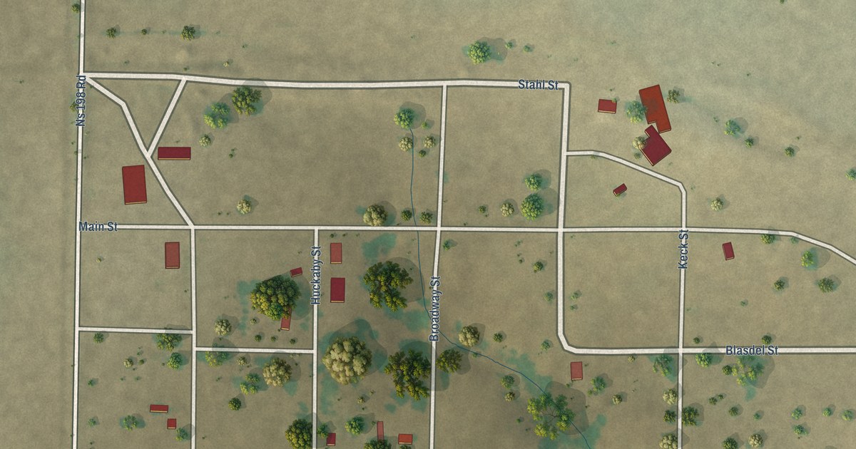
A detailed map of Selman, Oklahoma, showing every building in its true location, the roads by name, and shaded topographical relief.
Read More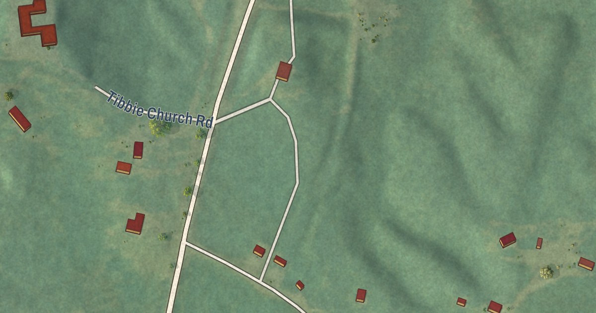
A detailed map of Tibbie, Alabama, showing every building in its true location, the roads by name, and shaded topographical relief.
Read More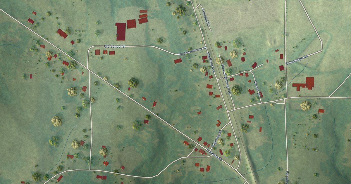
A detailed map of Spruce Pine, Alabama, showing every building in its true location, the roads by name, and shaded topographical relief.
Read More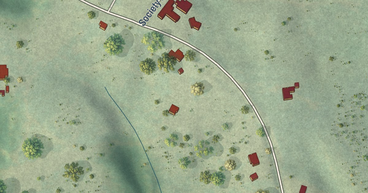
A detailed map of Rockville, Alabama, showing every building in its true location, the roads by name, and shaded topographical relief.
Read More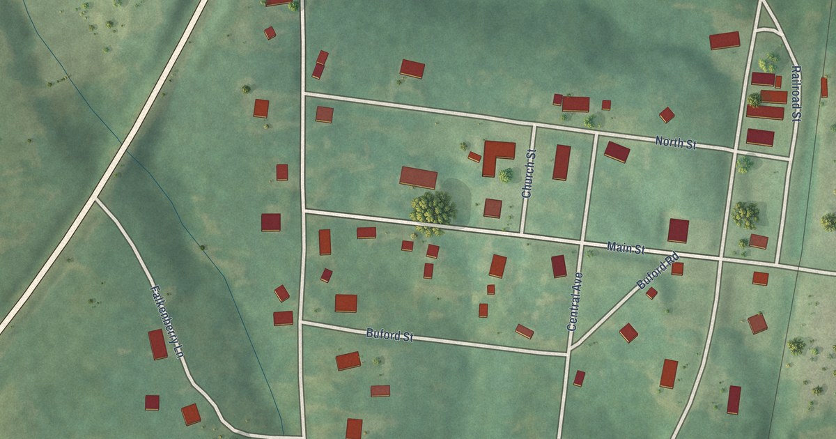
A detailed map of Peterman, Alabama, showing every building in its true location, the roads by name, and shaded topographical relief.
Read More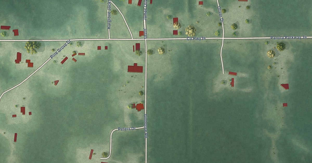
A detailed map of Panola, Alabama, showing every building in its true location, the roads by name, and shaded topographical relief.
Read More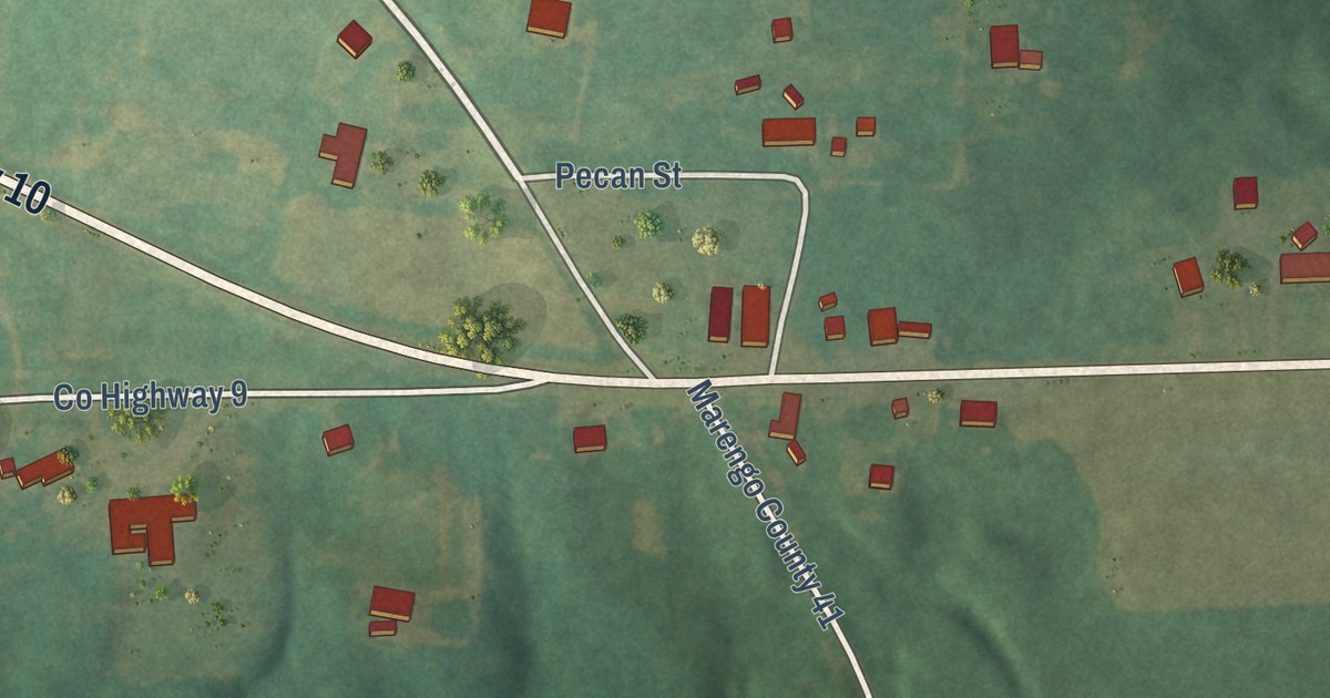
A detailed map of Nanafalia, Alabama, showing every building in its true location, the roads by name, and shaded topographical relief.
Read More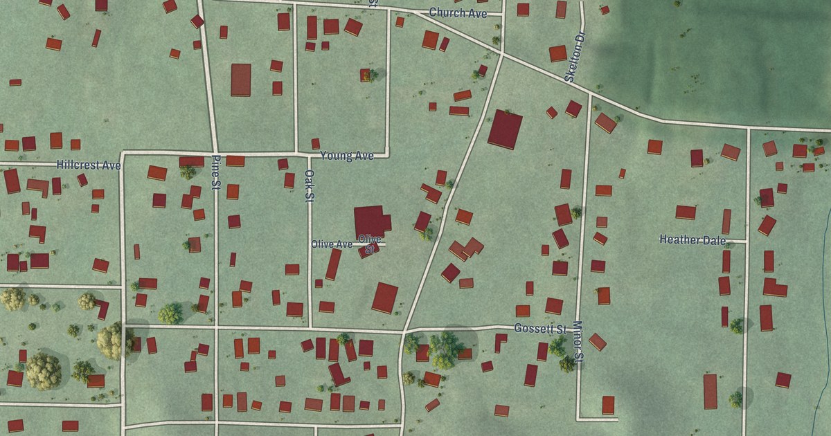
A detailed map of Minor, Alabama, showing every building in its true location, the roads by name, and shaded topographical relief.
Read More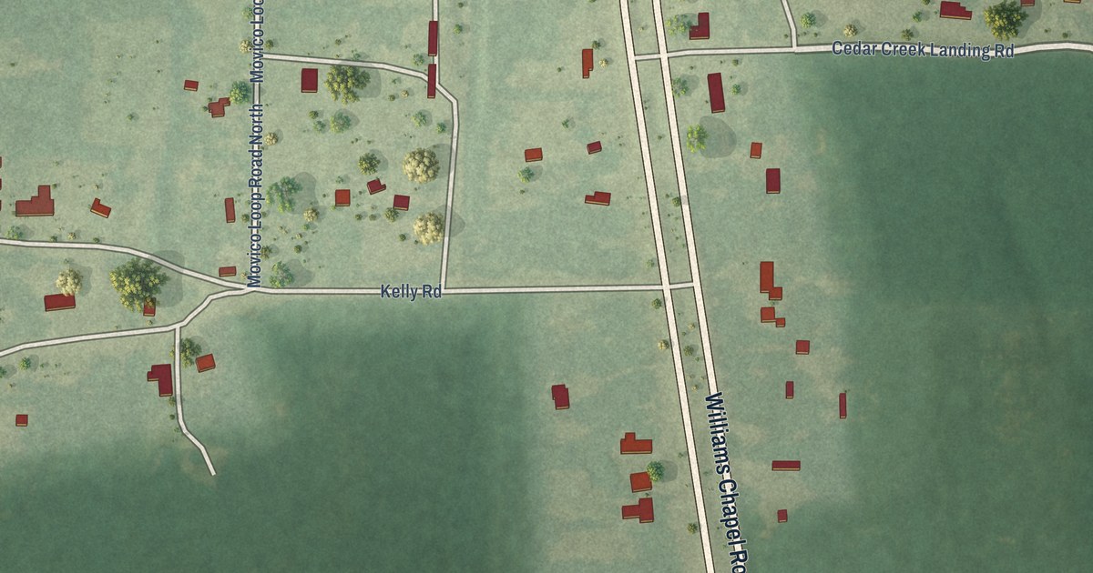
A detailed map of Movico, Alabama, showing every building in its true location, the roads by name, and shaded topographical relief.
Read More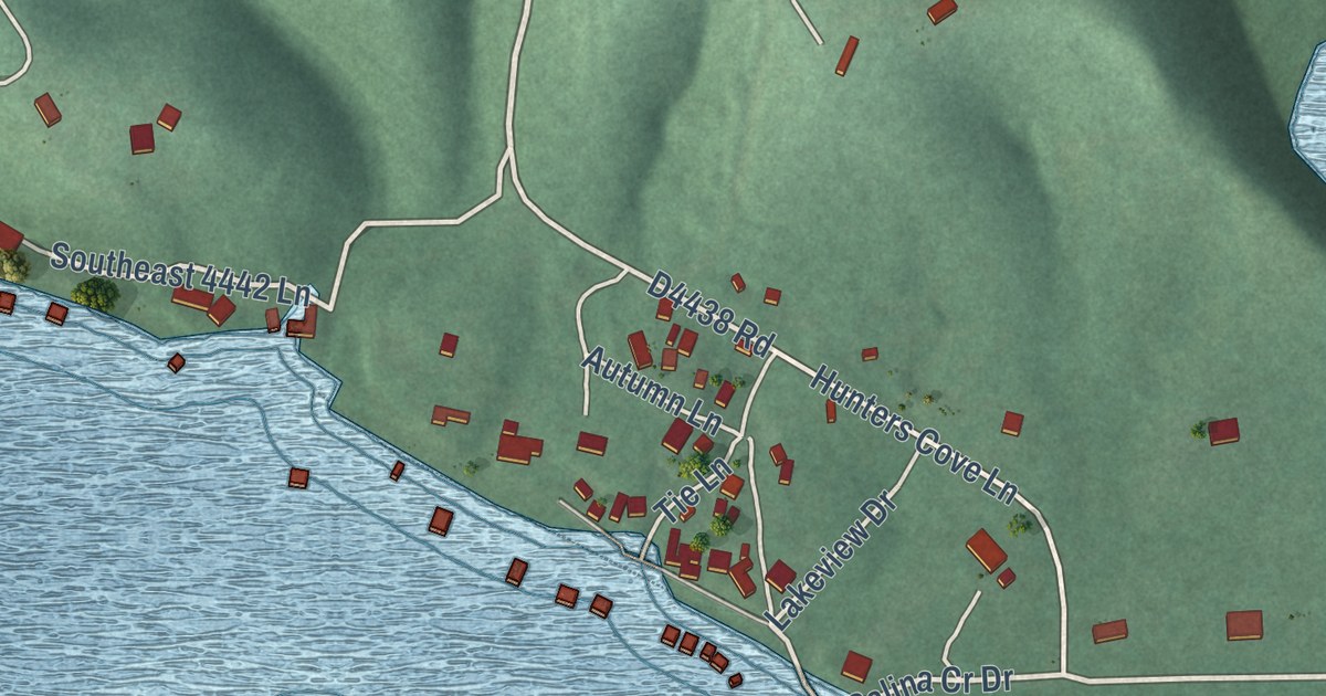
A detailed map of Pump Back, Oklahoma, showing every building in its true location, the roads by name, and shaded topographical relief.
Read More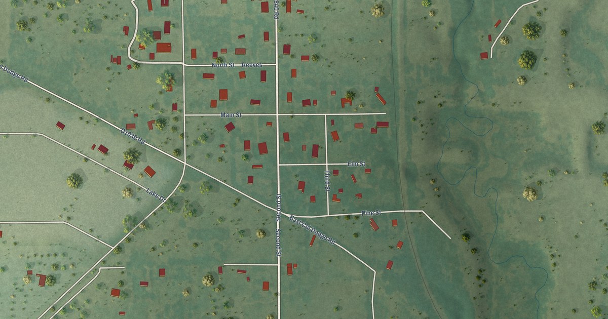
A detailed map of Platter, Oklahoma, showing every building in its true location, the roads by name, and shaded topographical relief.
Read More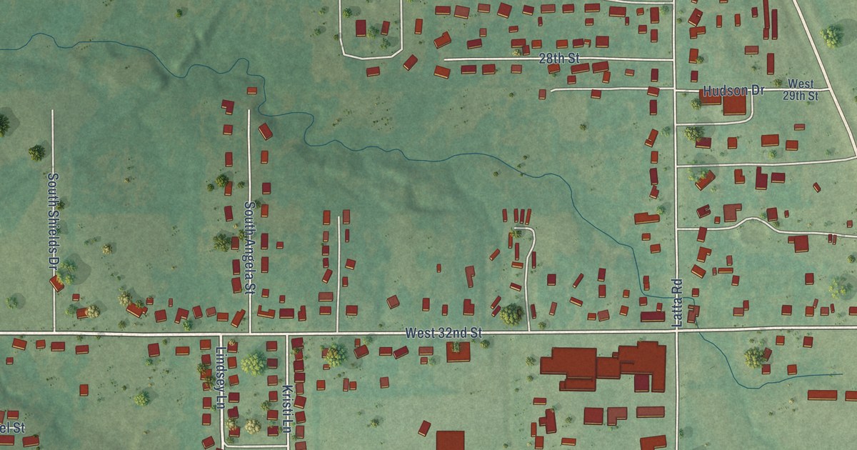
A detailed map of Latta, Oklahoma, showing every building in its true location, the roads by name, and shaded topographical relief.
Read More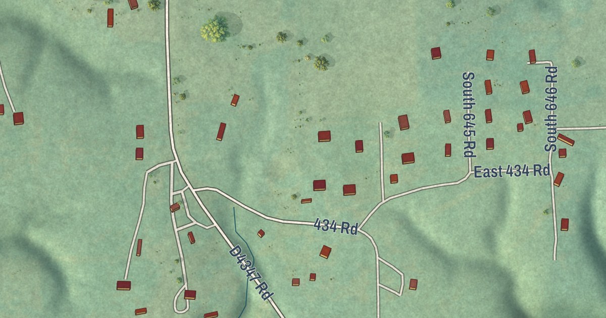
A detailed map of Oak Hill-Piney, Oklahoma, showing every building in its true location, the roads by name, and shaded topographical relief.
Read More
A detailed map of Hoot Owl, Oklahoma, showing every building in its true location, the roads by name, and shaded topographical relief.
Read More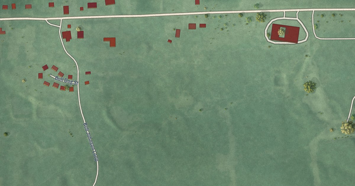
A detailed map of Nashoba, Oklahoma, showing every building in its true location, the roads by name, and shaded topographical relief.
Read More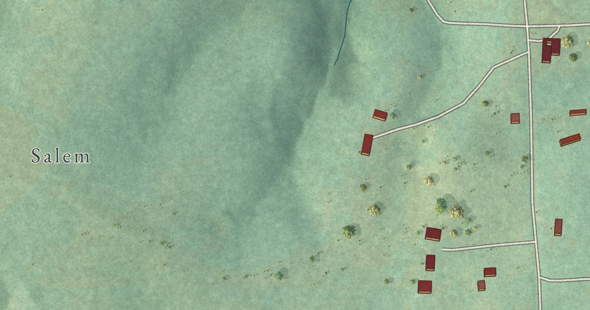
A detailed map of Honey Hill, Oklahoma, showing every building in its true location, the roads by name, and shaded topographical relief.
Read More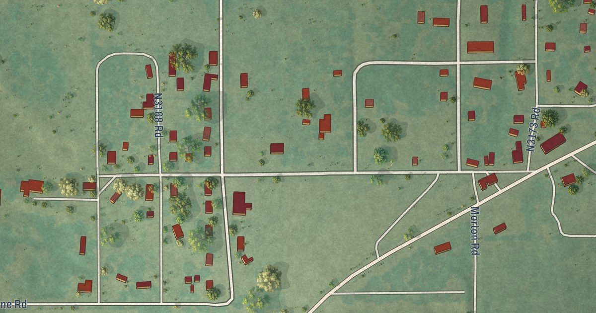
A detailed map of Hennepin, Oklahoma, showing every building in its true location, the roads by name, and shaded topographical relief.
Read More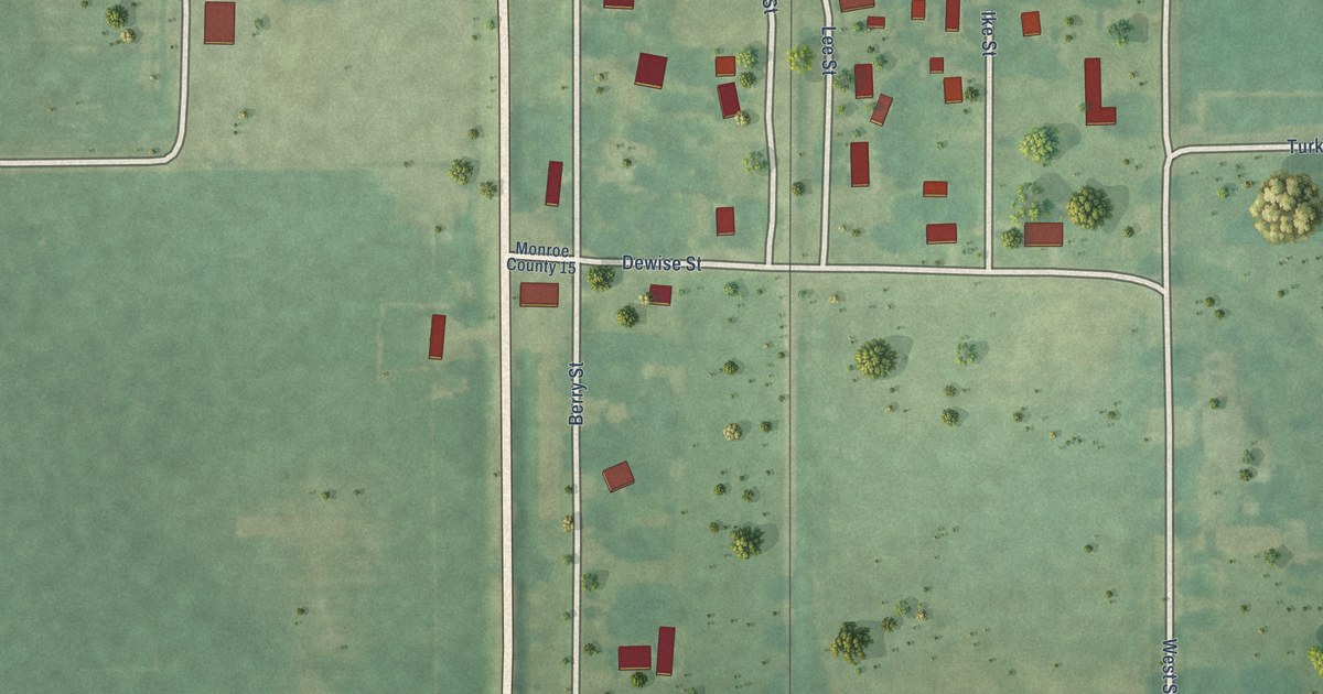
A detailed map of Megargel, Alabama, showing every building in its true location, the roads by name, and shaded topographical relief.
Read More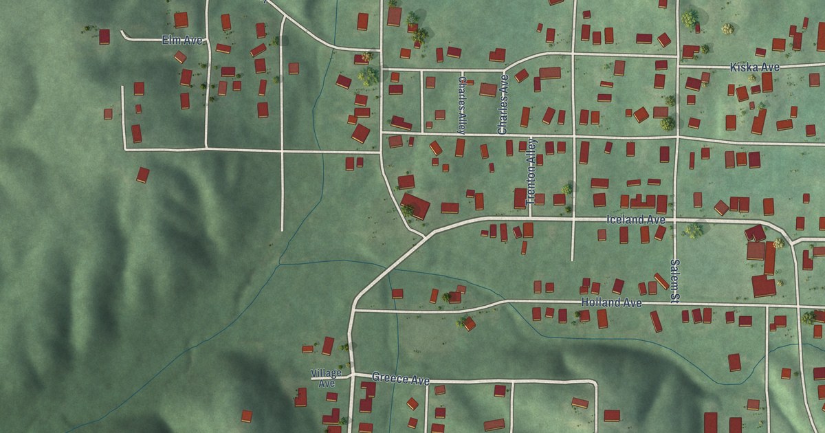
A detailed map of McDonald Chapel, Alabama, showing every building in its true location, the roads by name, and shaded topographical relief.
Read More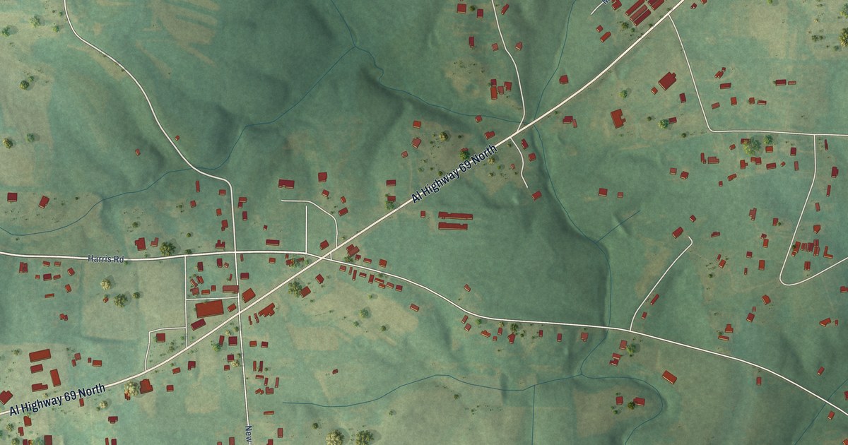
A detailed map of Joppa, Alabama, showing every building in its true location, the roads by name, and shaded topographical relief.
Read More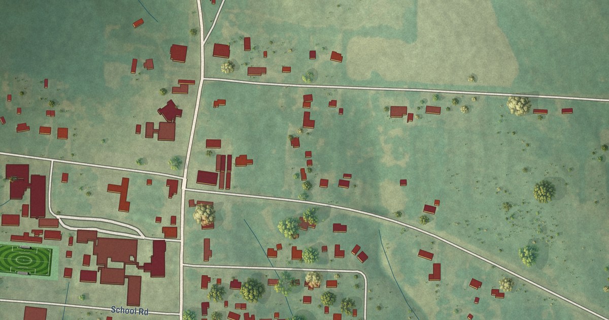
A detailed map of Hatton, Alabama, showing every building in its true location, the roads by name, and shaded topographical relief.
Read More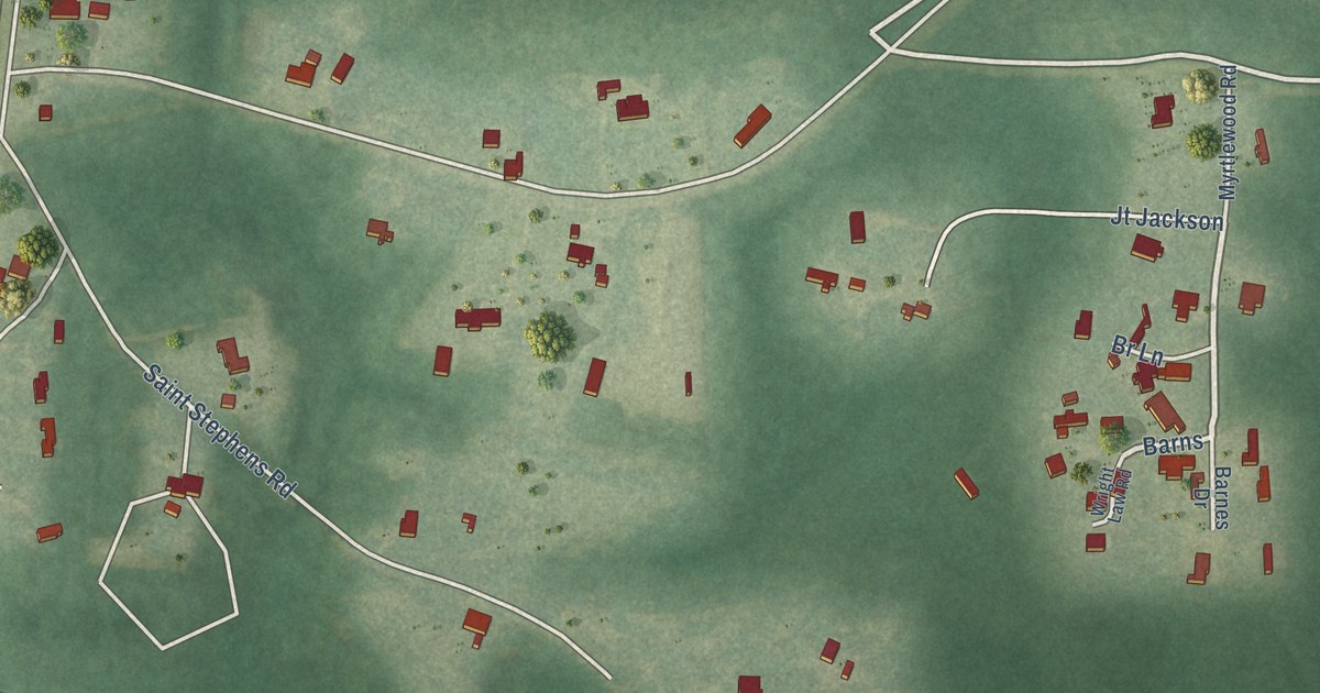
A detailed map of Malcolm, Alabama, showing every building in its true location, the roads by name, and shaded topographical relief.
Read More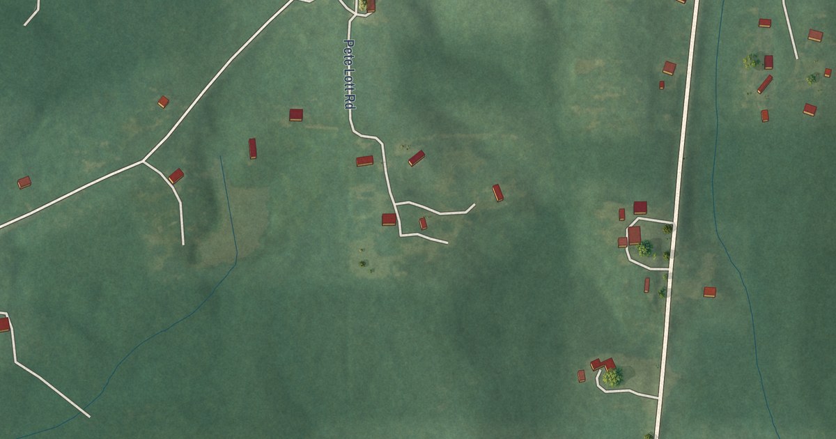
A detailed map of Gulfcrest, Alabama, showing every building in its true location, the roads by name, and shaded topographical relief.
Read More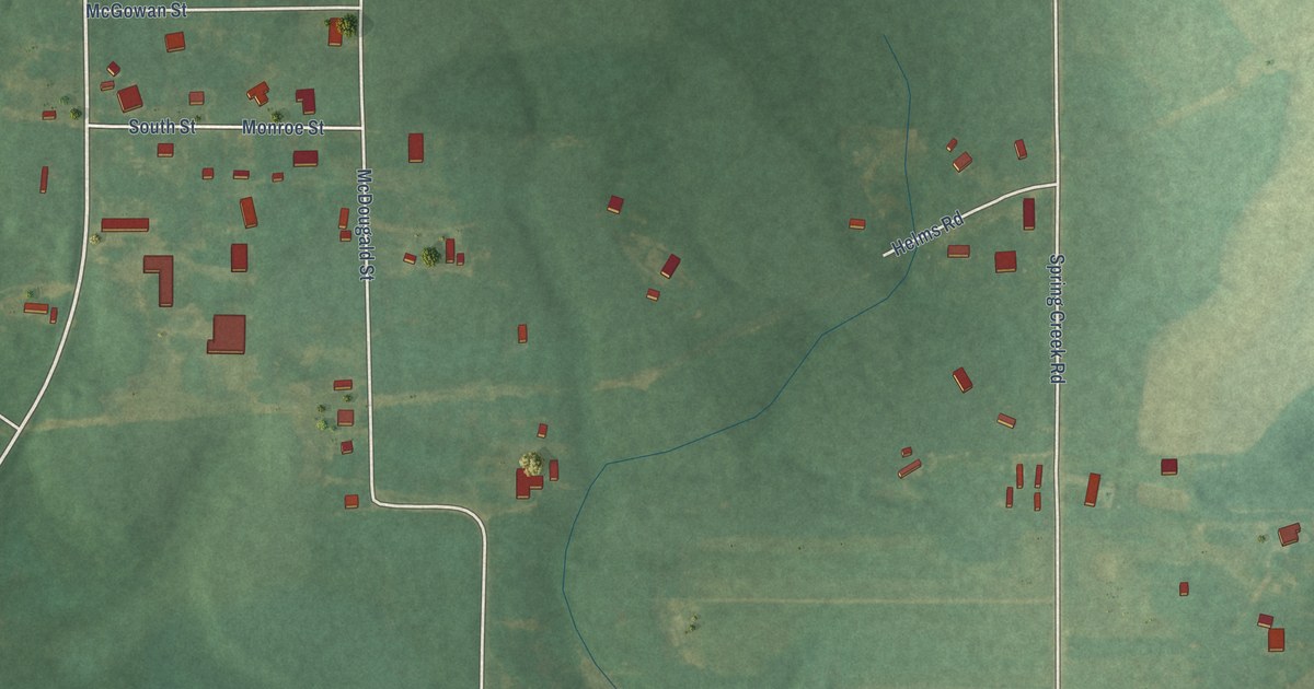
A detailed map of Eunola, Alabama, showing every building in its true location, the roads by name, and shaded topographical relief.
Read More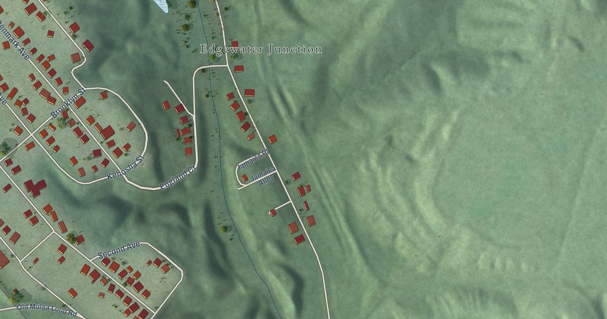
A detailed map of Edgewater, Alabama, showing every building in its true location, the roads by name, and shaded topographical relief.
Read More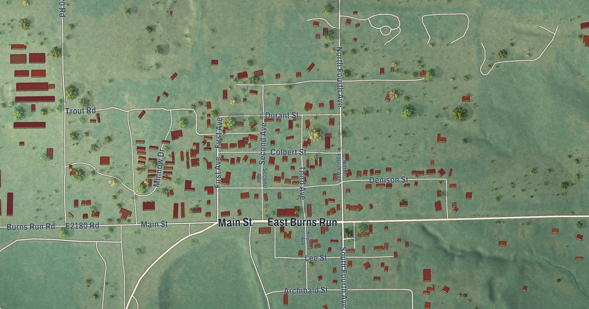
A detailed map of Cartwright, Oklahoma, showing every building in its true location, the roads by name, and shaded topographical relief.
Read More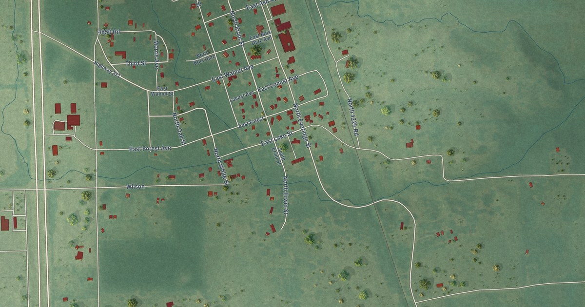
A detailed map of Grant, Oklahoma, showing every building in its true location, the roads by name, and shaded topographical relief.
Read More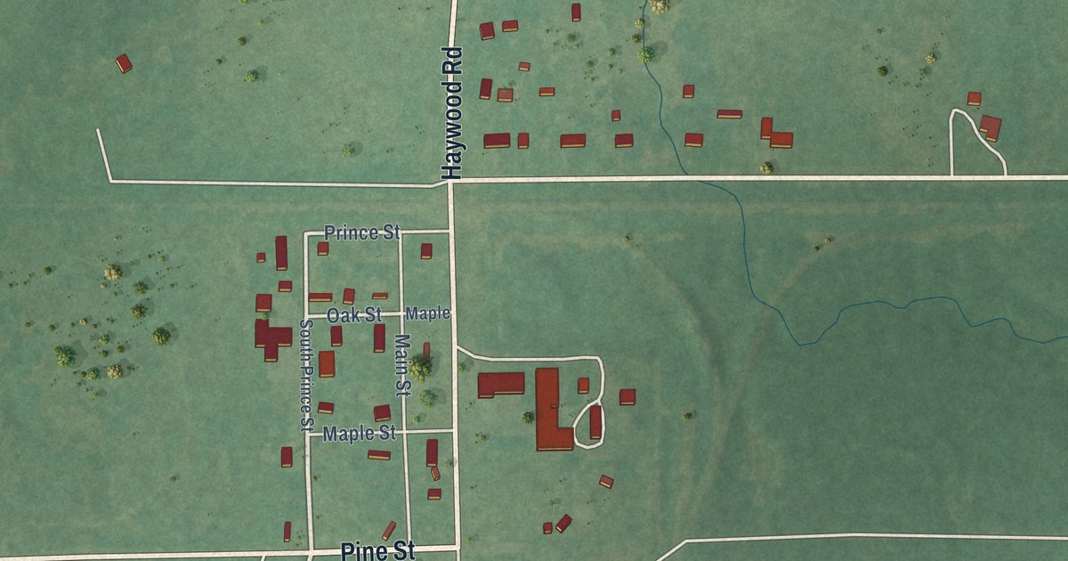
A detailed map of Haywood, Oklahoma, showing every building in its true location, the roads by name, and shaded topographical relief.
Read More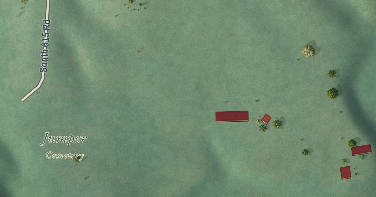
A detailed map of Brush Creek, Oklahoma, showing every building in its true location, the roads by name, and shaded topographical relief.
Read More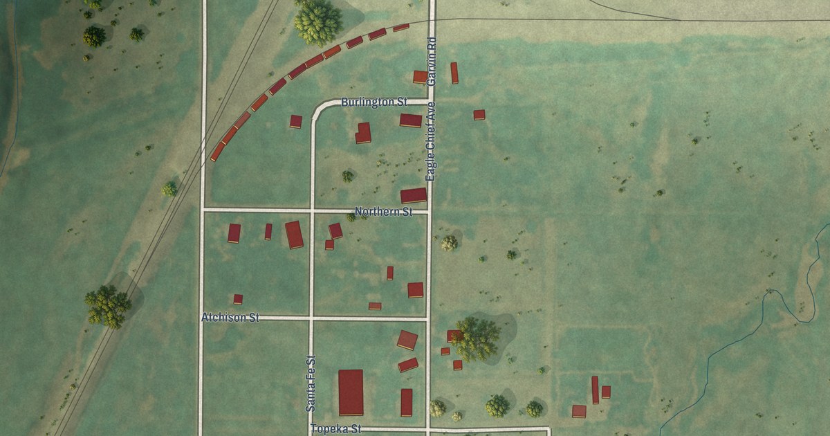
A detailed map of Avard, Oklahoma, showing every building in its true location, the roads by name, and shaded topographical relief.
Read More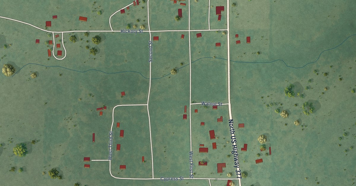
A detailed map of Connerville, Oklahoma, showing every building in its true location, the roads by name, and shaded topographical relief.
Read More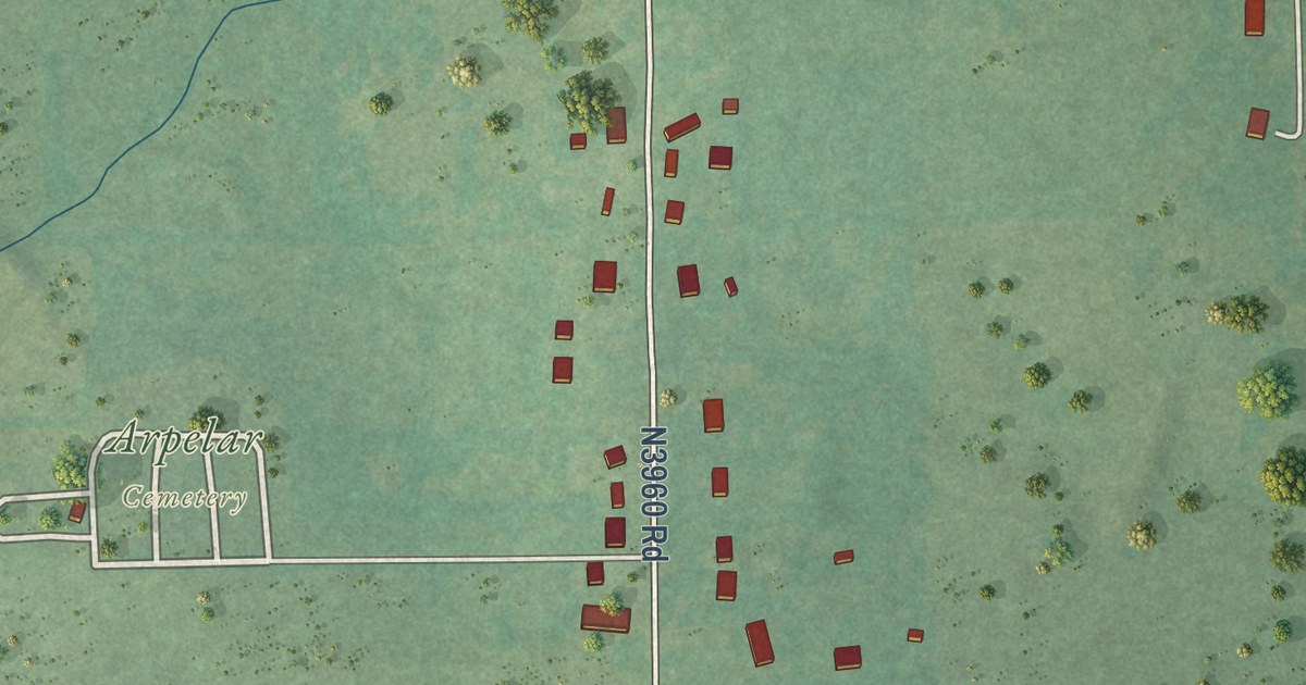
A detailed map of Arpelar, Oklahoma, showing every building in its true location, the roads by name, and shaded topographical relief.
Read More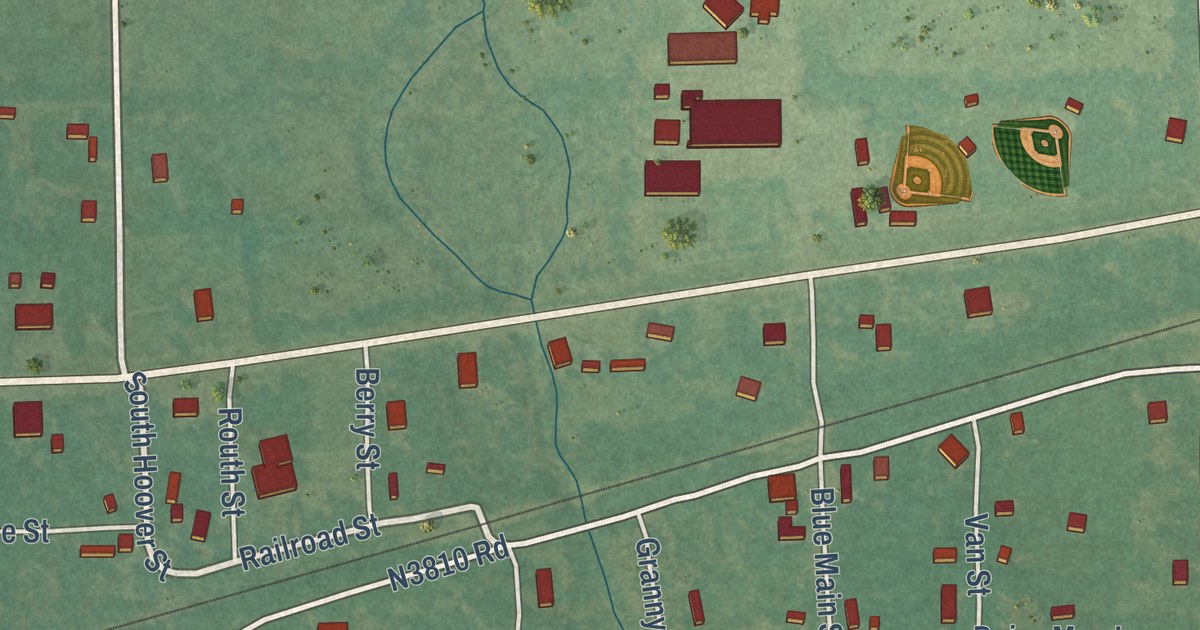
A detailed map of Blue, Oklahoma, showing every building in its true location, the roads by name, and shaded topographical relief.
Read More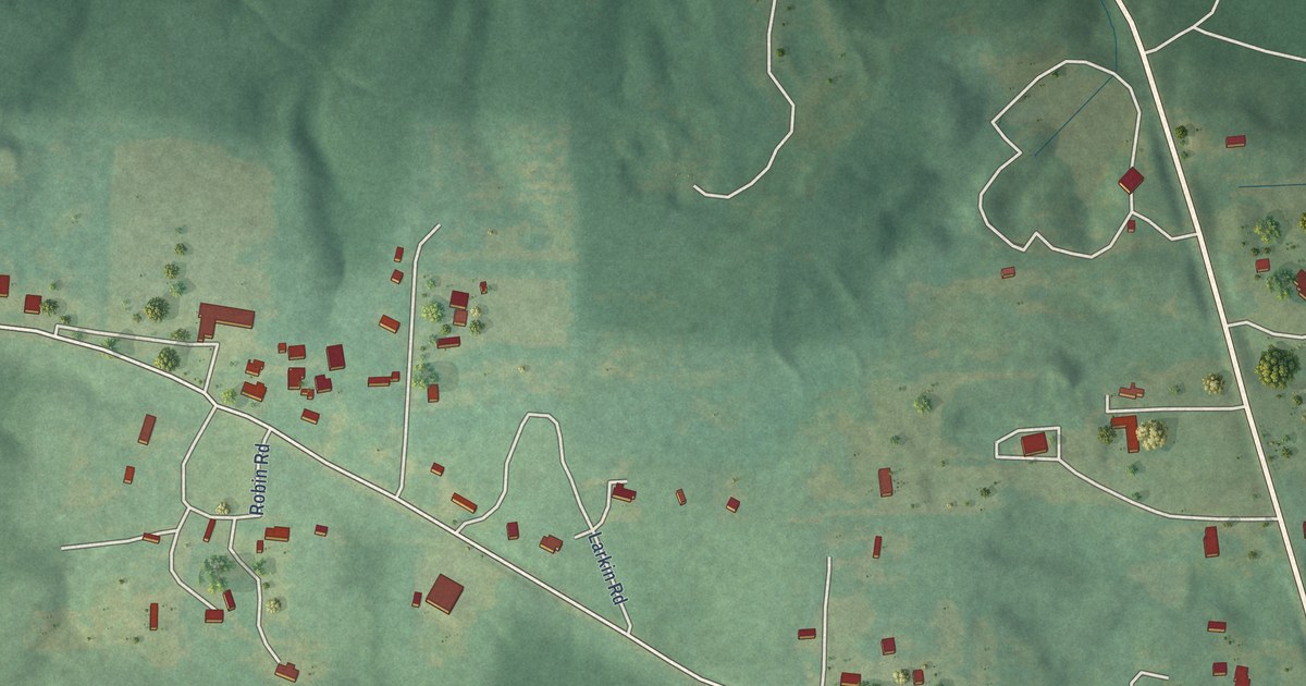
A detailed map of Chunchula, Alabama, showing every building in its true location, the roads by name, and shaded topographical relief.
Read More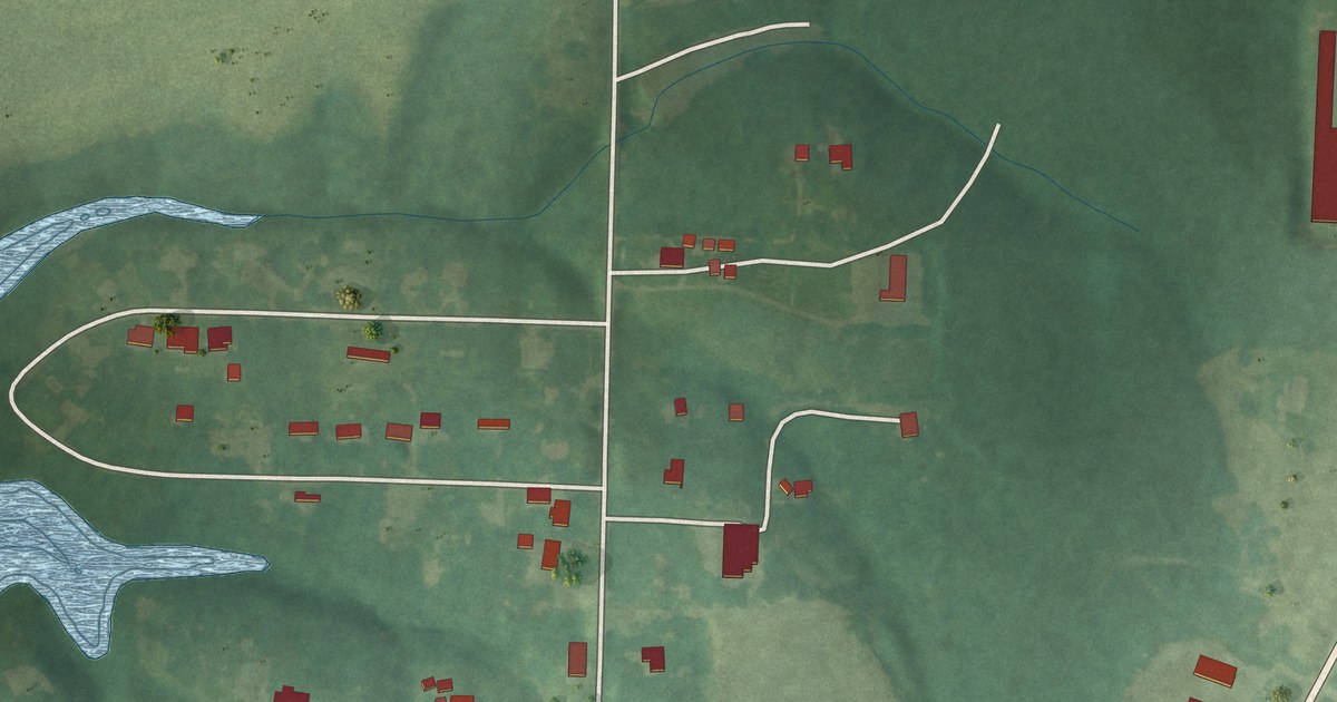
A detailed map of East Point, Alabama, showing every building in its true location, the roads by name, and shaded topographical relief.
Read More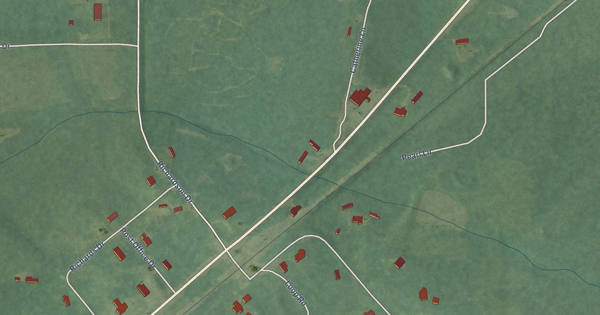
A detailed map of Catherine, Alabama, showing every building in its true location, the roads by name, and shaded topographical relief.
Read More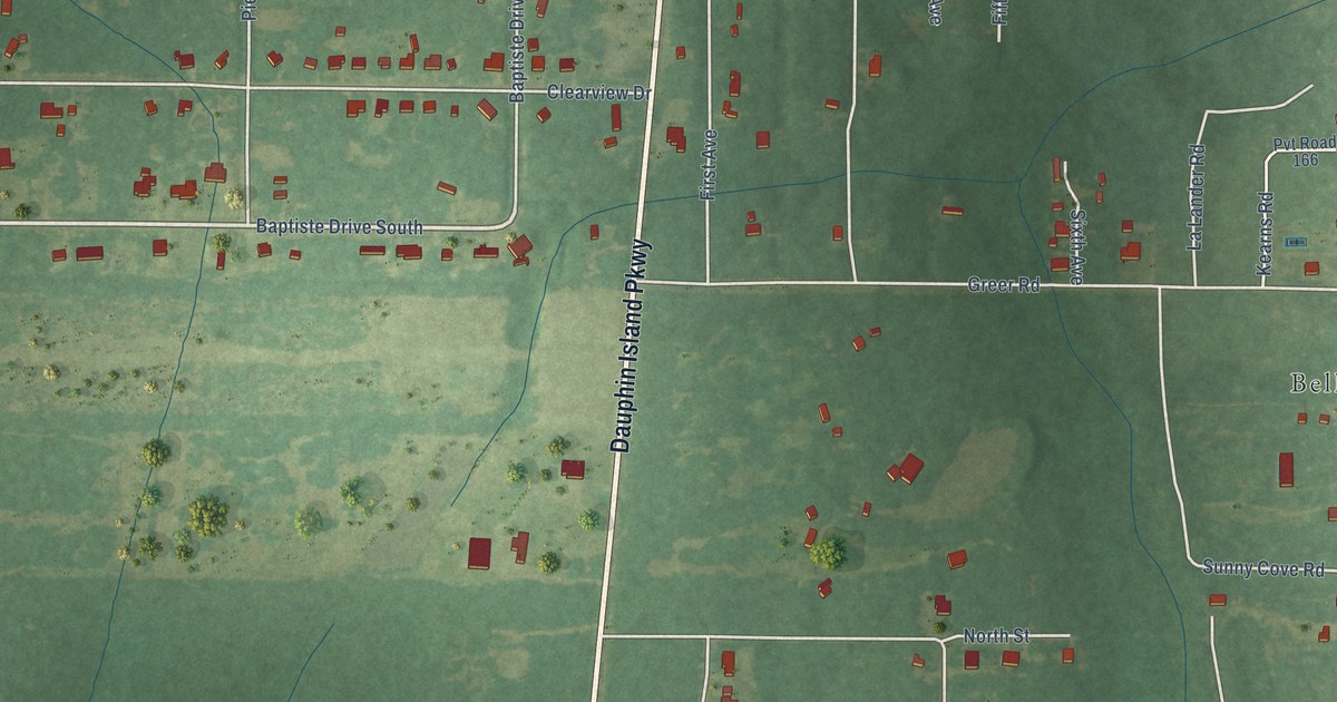
A detailed map of Belle Fontaine, Alabama, showing every building in its true location, the roads by name, and shaded topographical relief.
Read More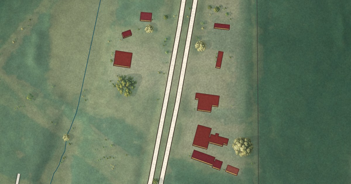
A detailed map of Bucks, Alabama, showing every building in its true location, the roads by name, and shaded topographical relief.
Read More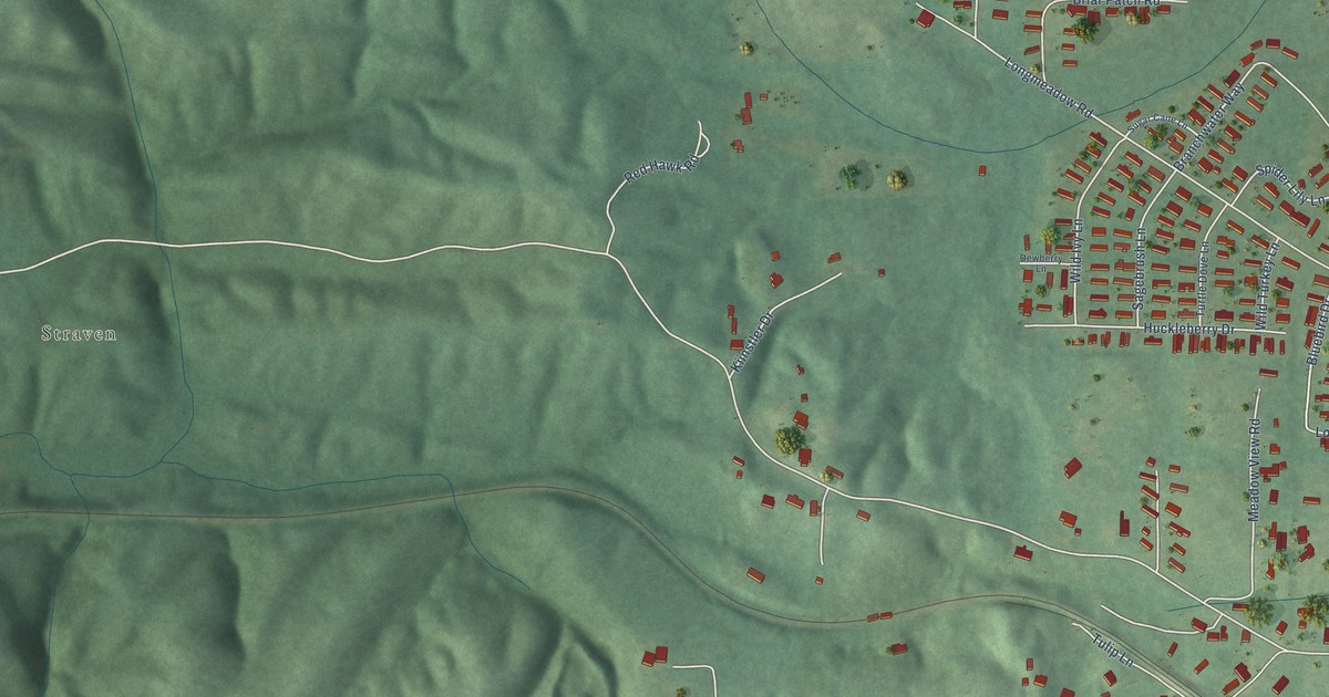
A detailed map of Brantleyville, Alabama, showing every building in its true location, the roads by name, and shaded topographical relief.
Read More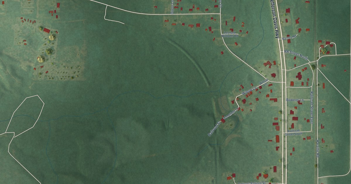
A detailed map of Calvert, Alabama, showing every building in its true location, the roads by name, and shaded topographical relief.
Read More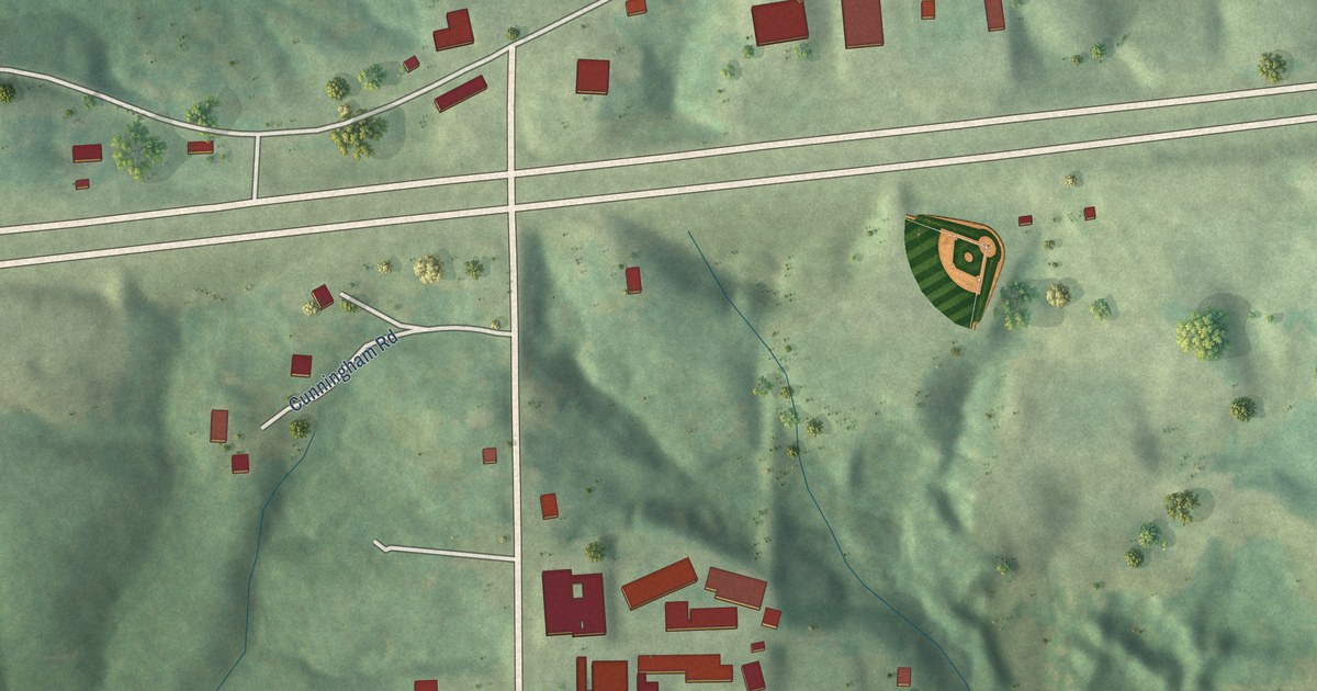
A detailed map of Belgreen, Alabama, showing every building in its true location, the roads by name, and shaded topographical relief.
Read More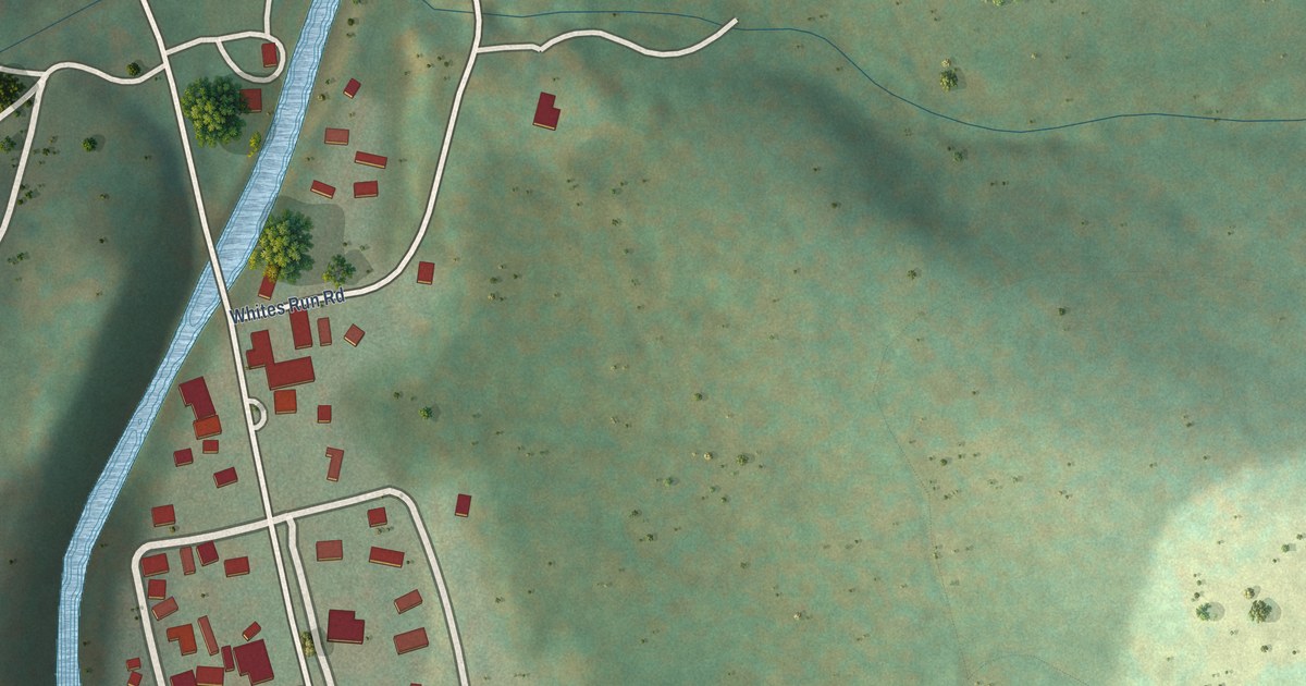
A detailed map of Whitmer, West Virginia, showing every building in its true location, the roads by name, and shaded topographical relief.
Read More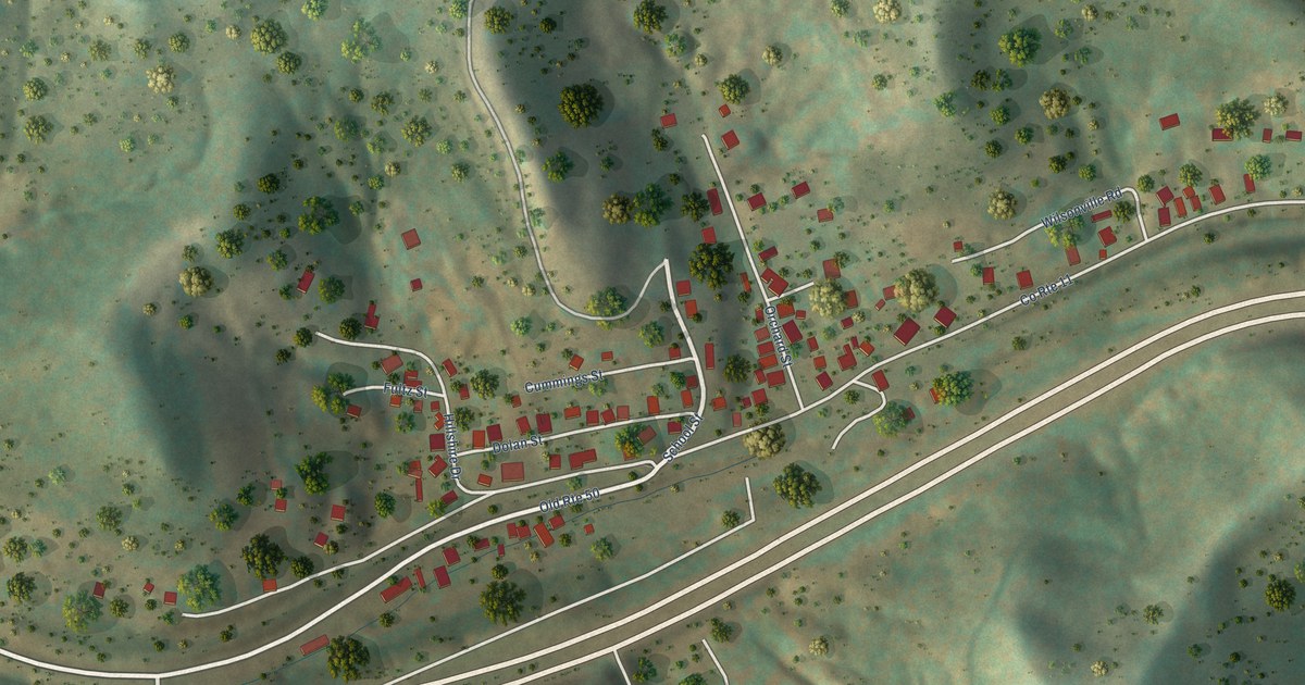
A detailed map of Wolf Summit, West Virginia, showing every building in its true location, the roads by name, and shaded topographical relief.
Read More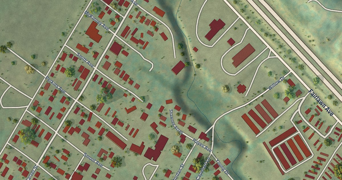
A detailed map of West Dunbar, West Virginia, showing every building in its true location, the roads by name, and shaded topographical relief.
Read More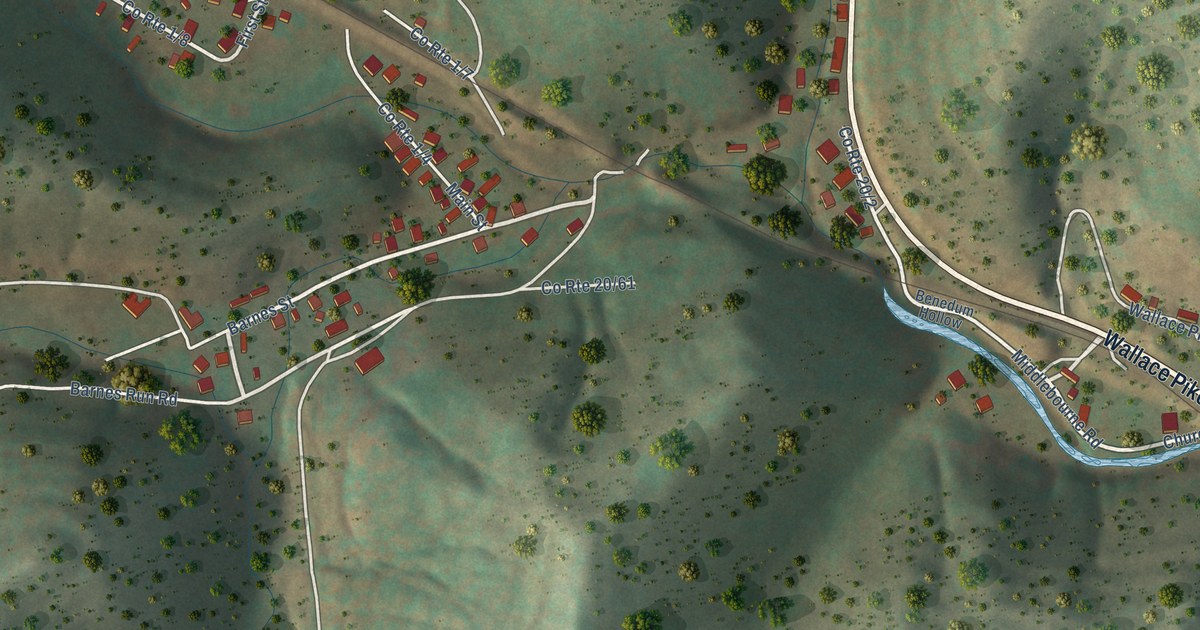
A detailed map of Wallace, West Virginia, showing every building in its true location, the roads by name, and shaded topographical relief.
Read More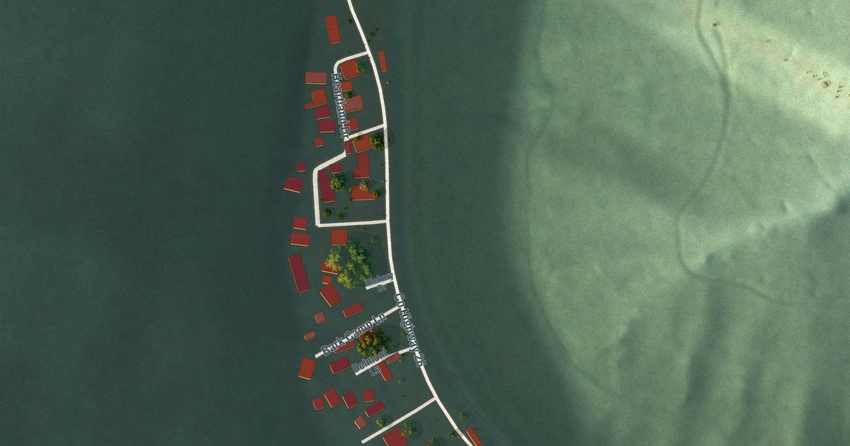
A detailed map of Twilight, West Virginia, showing every building in its true location, the roads by name, and shaded topographical relief.
Read More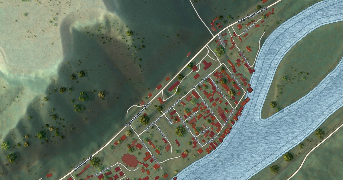
A detailed map of Shrewsbury, West Virginia, showing every building in its true location, the roads by name, and shaded topographical relief.
Read More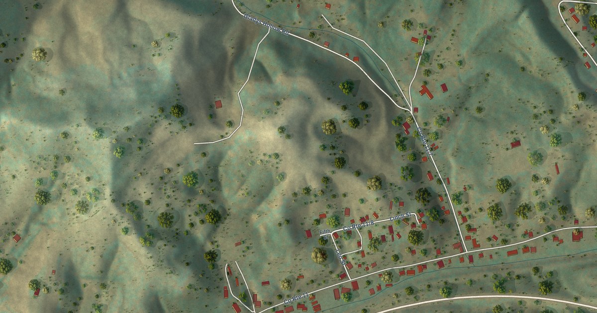
A detailed map of Reynoldsville, West Virginia, showing every building in its true location, the roads by name, and shaded topographical relief.
Read More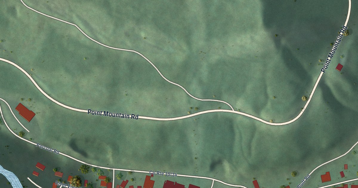
A detailed map of Parcoal, West Virginia, showing every building in its true location, the roads by name, and shaded topographical relief.
Read More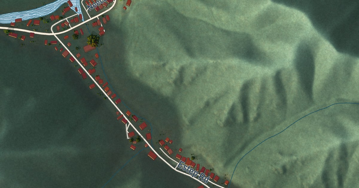
A detailed map of Raysal, West Virginia, showing every building in its true location, the roads by name, and shaded topographical relief.
Read More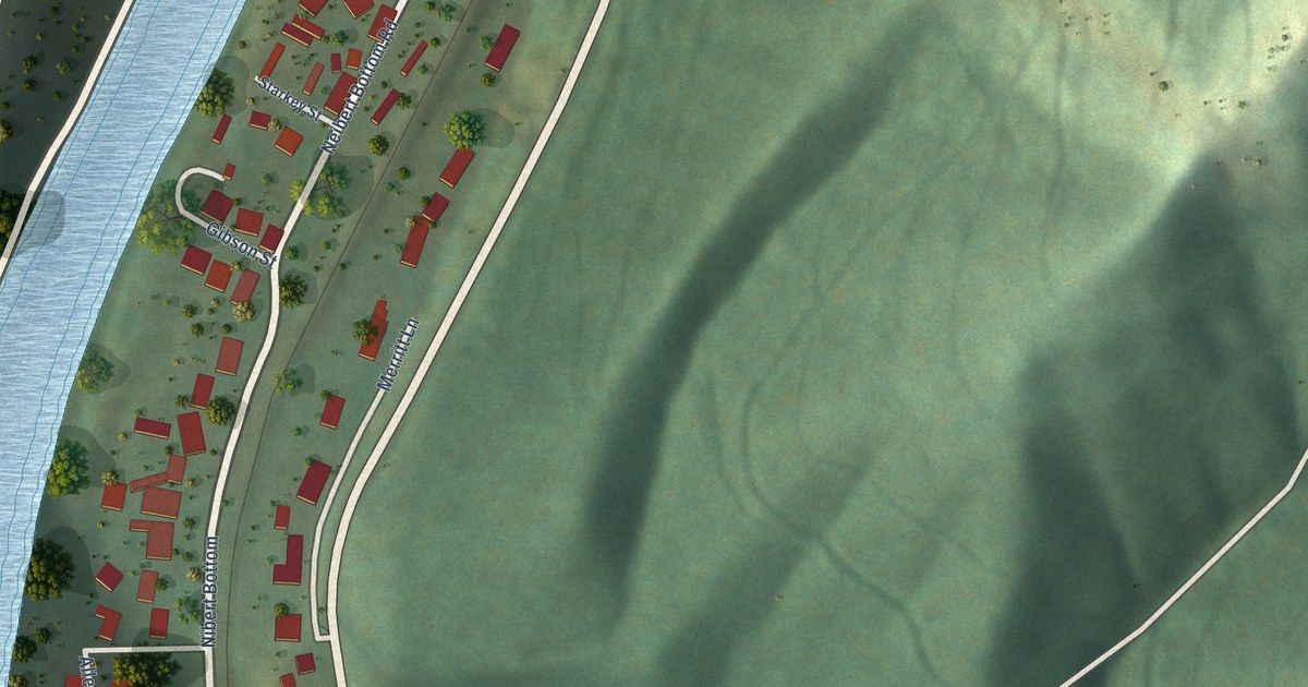
A detailed map of Neibert, West Virginia, showing every building in its true location, the roads by name, and shaded topographical relief.
Read More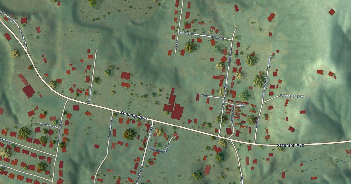
A detailed map of Kanawha, West Virginia, showing every building in its true location, the roads by name, and shaded topographical relief.
Read More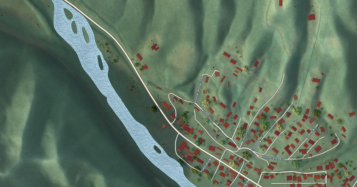
A detailed map of Justice, West Virginia, showing every building in its true location, the roads by name, and shaded topographical relief.
Read More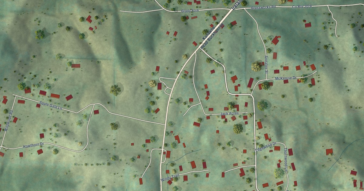
A detailed map of Hinkleville, West Virginia, showing every building in its true location, the roads by name, and shaded topographical relief.
Read More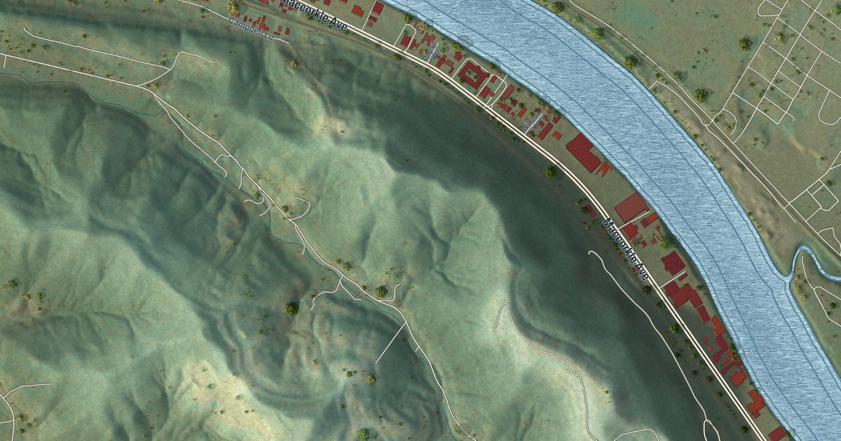
A detailed map of Jefferson, West Virginia, showing every building in its true location, the roads by name, and shaded topographical relief.
Read More
A detailed map of Greenville, West Virginia, showing every building in its true location, the roads by name, and shaded topographical relief.
Read More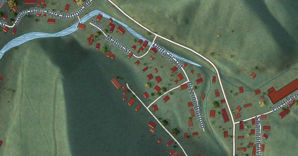
A detailed map of Glen Fork, West Virginia, showing every building in its true location, the roads by name, and shaded topographical relief.
Read More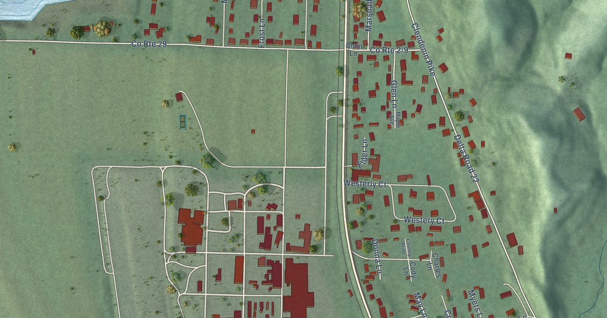
A detailed map of Gallipolis Ferry, West Virginia, showing every building in its true location, the roads by name, and shaded topographical relief.
Read More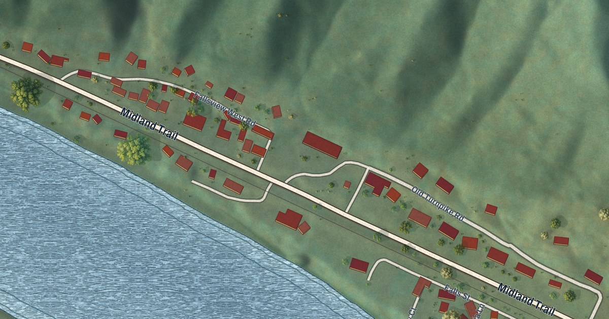
A detailed map of Falls View, West Virginia, showing every building in its true location, the roads by name, and shaded topographical relief.
Read More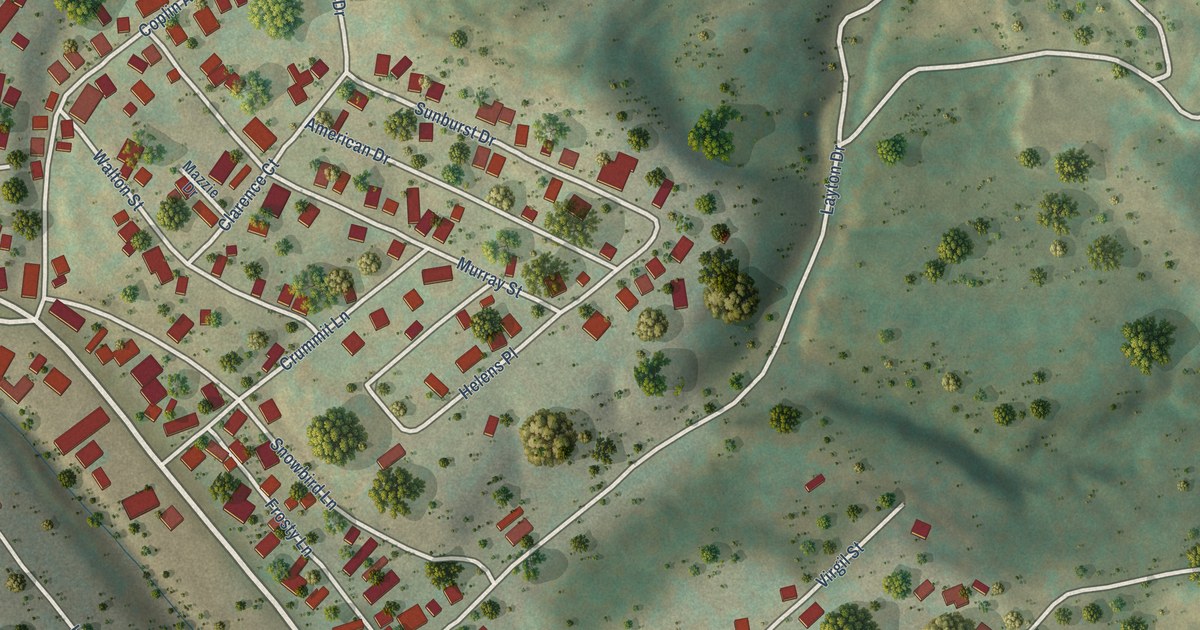
A detailed map of East View, West Virginia, showing every building in its true location, the roads by name, and shaded topographical relief.
Read More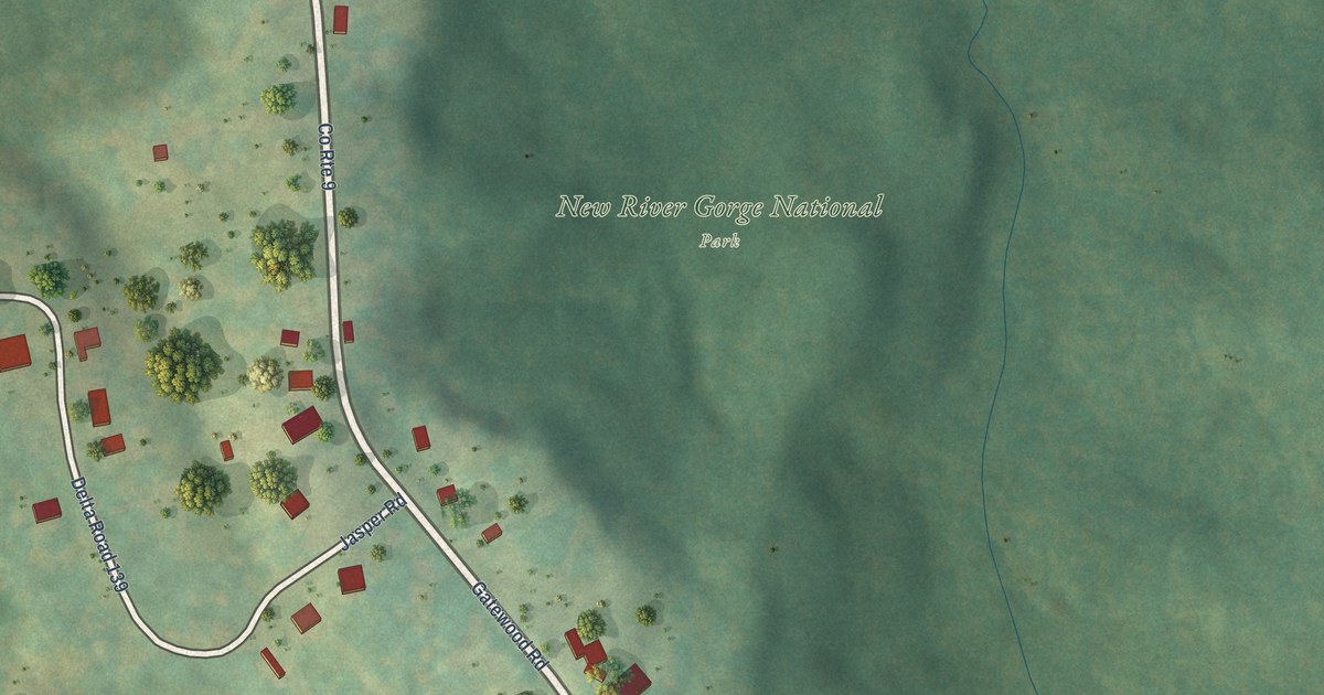
A detailed map of Garten, West Virginia, showing every building in its true location, the roads by name, and shaded topographical relief.
Read More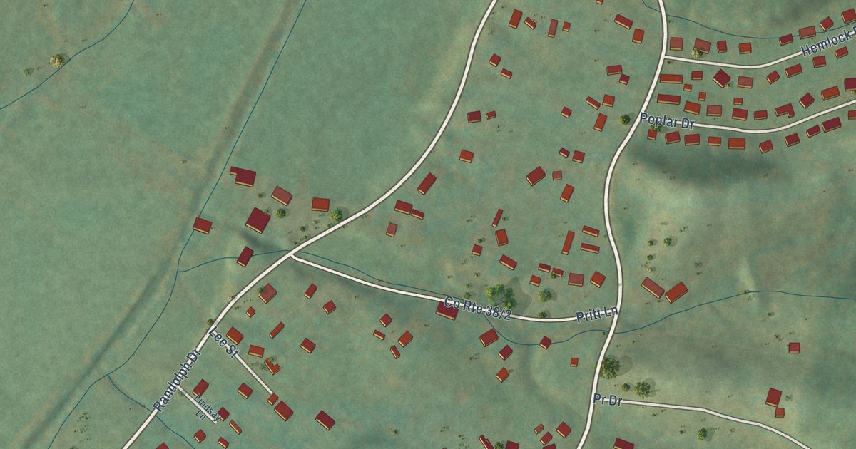
A detailed map of East Dailey, West Virginia, showing every building in its true location, the roads by name, and shaded topographical relief.
Read More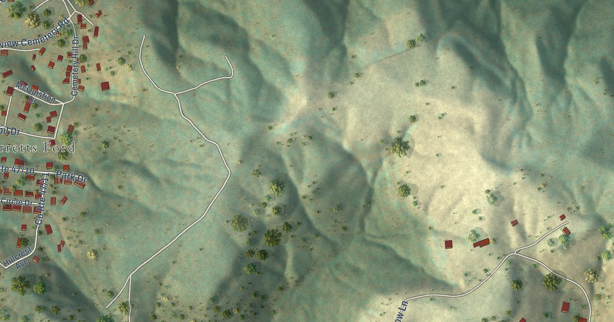
A detailed map of Elkview, West Virginia, showing every building in its true location, the roads by name, and shaded topographical relief.
Read More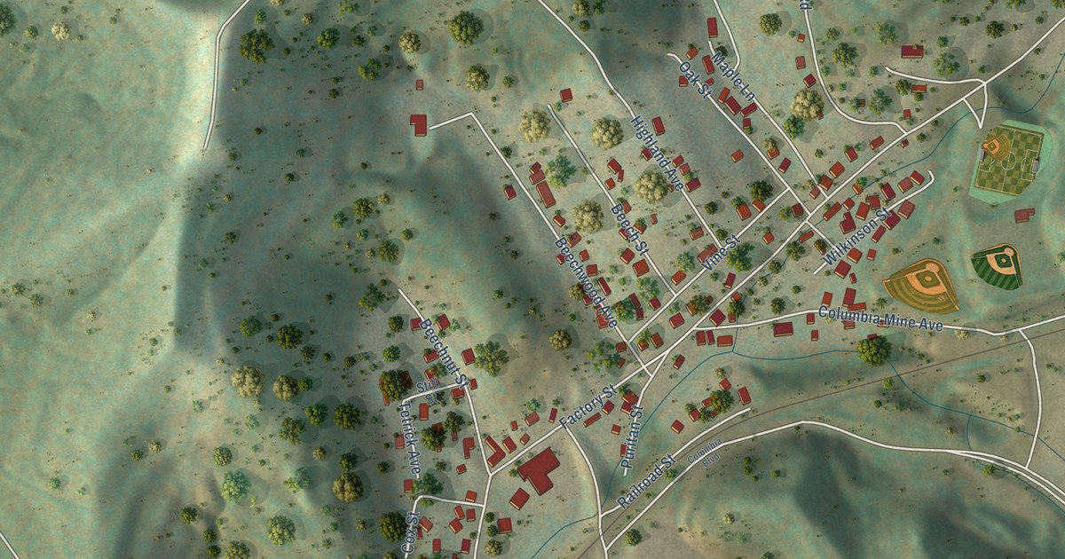
A detailed map of Despard, West Virginia, showing every building in its true location, the roads by name, and shaded topographical relief.
Read More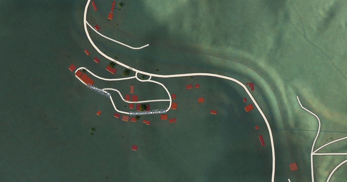
A detailed map of Cucumber, West Virginia, showing every building in its true location, the roads by name, and shaded topographical relief.
Read More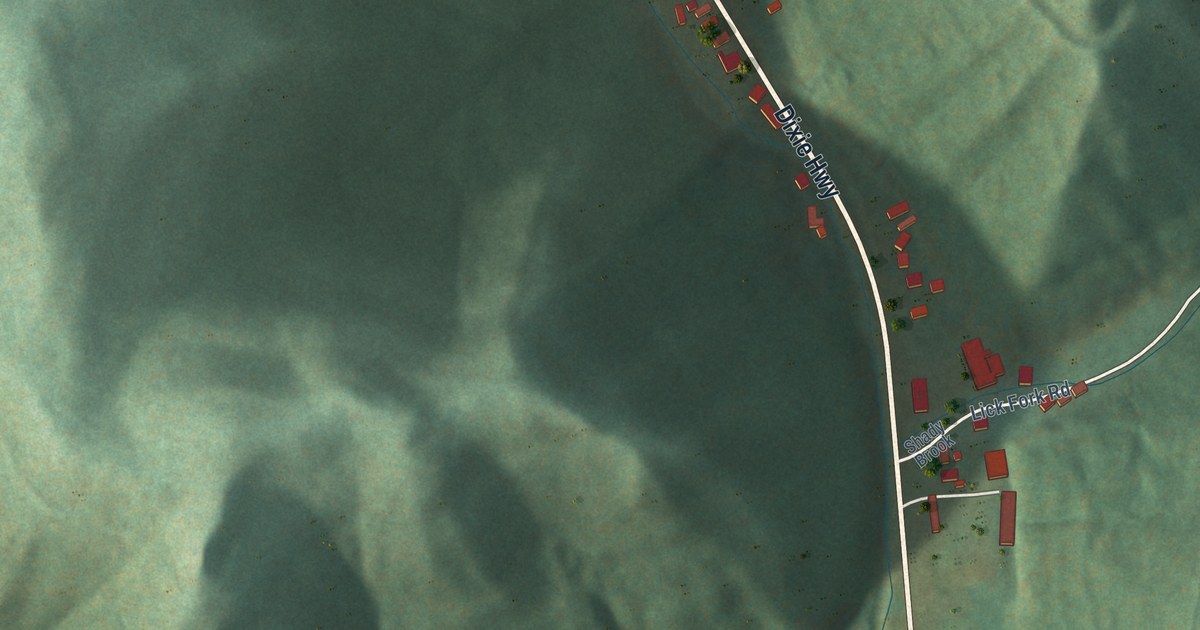
A detailed map of Dixie, West Virginia, showing every building in its true location, the roads by name, and shaded topographical relief.
Read More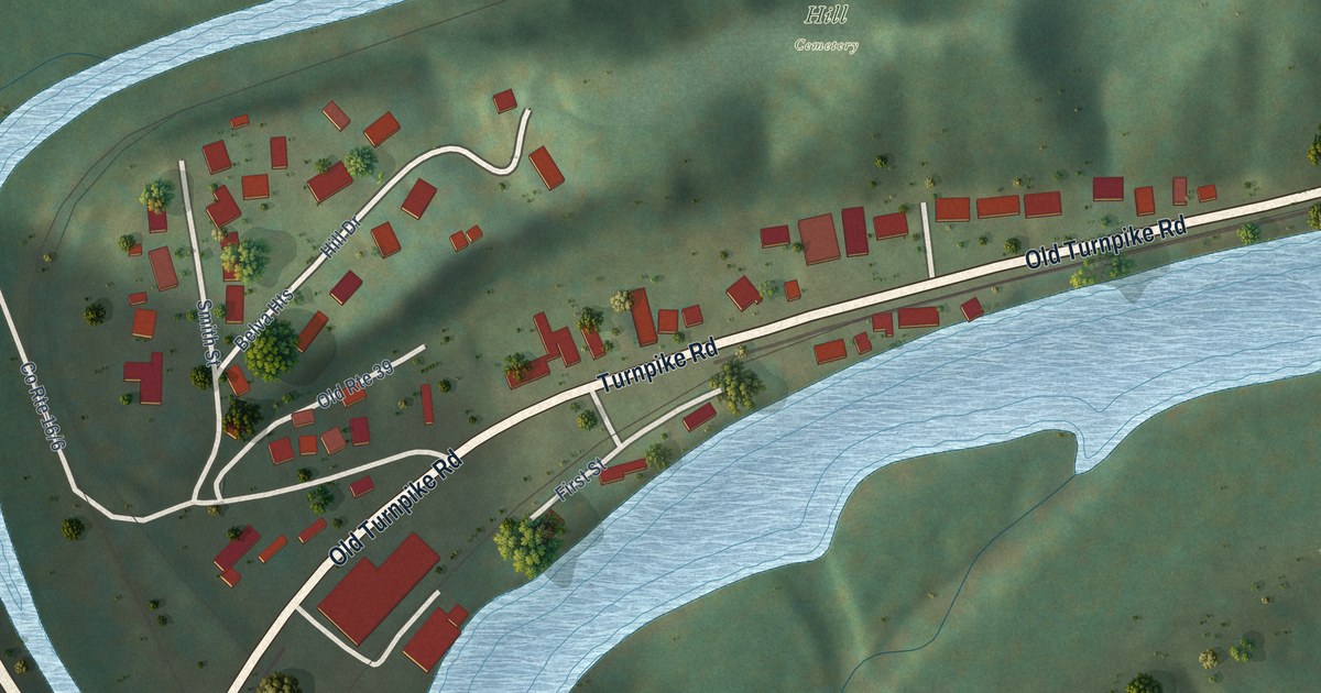
A detailed map of Belva, West Virginia, showing every building in its true location, the roads by name, and shaded topographical relief.
Read More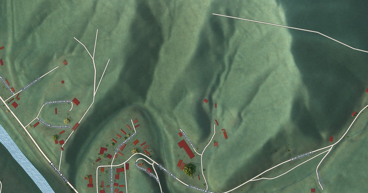
A detailed map of Big Creek, West Virginia, showing every building in its true location, the roads by name, and shaded topographical relief.
Read More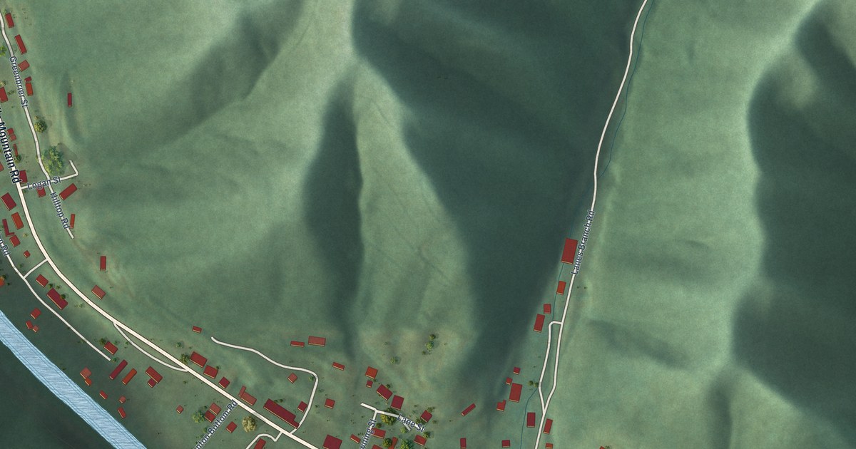
A detailed map of Brenton, West Virginia, showing every building in its true location, the roads by name, and shaded topographical relief.
Read More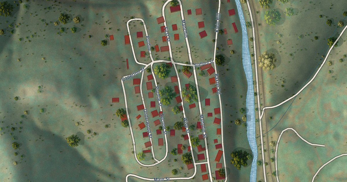
A detailed map of Baxter, West Virginia, showing every building in its true location, the roads by name, and shaded topographical relief.
Read More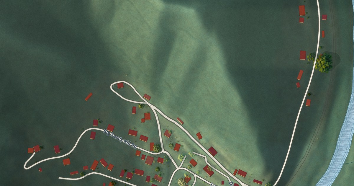
A detailed map of Big Sandy, West Virginia, showing every building in its true location, the roads by name, and shaded topographical relief.
Read More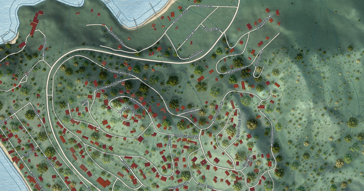
A detailed map of Zephyr Cove, Nevada, showing every building in its true location, the roads by name, and shaded topographical relief.
Read More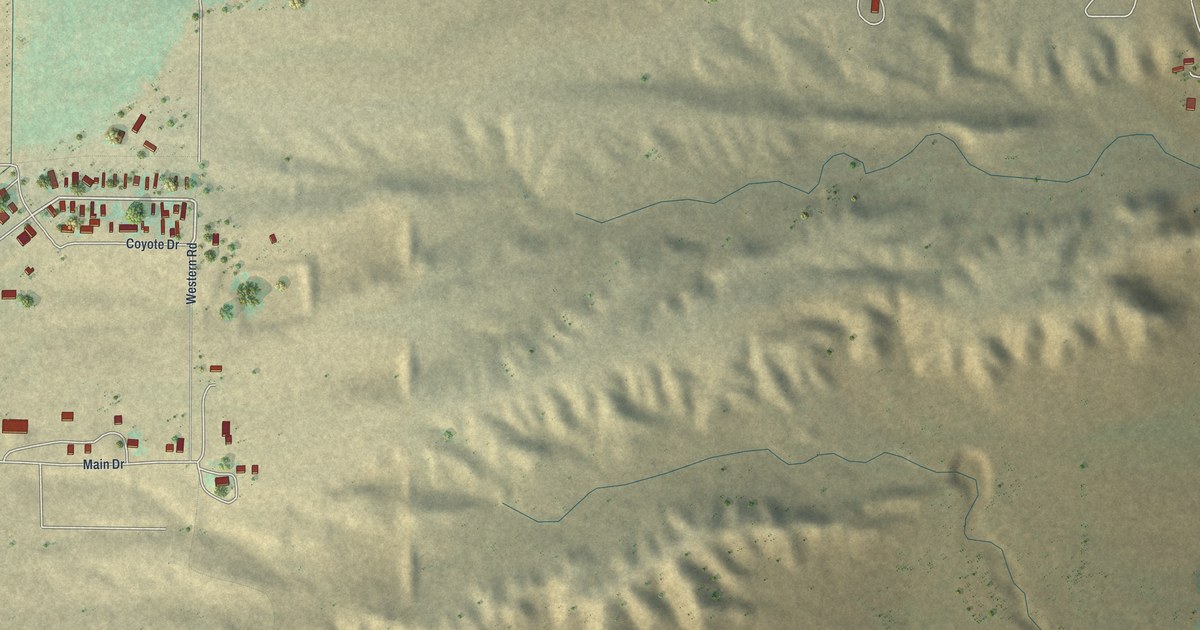
A detailed map of Y-O Ranch, Wyoming, showing every building in its true location, the roads by name, and shaded topographical relief.
Read More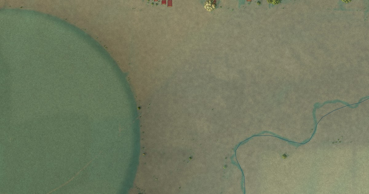
A detailed map of Whiting, Wyoming, showing every building in its true location, the roads by name, and shaded topographical relief.
Read More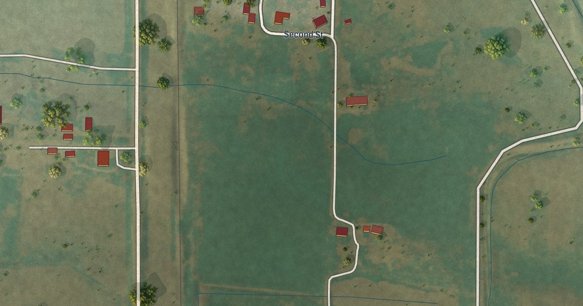
A detailed map of Veteran, Wyoming, showing every building in its true location, the roads by name, and shaded topographical relief.
Read More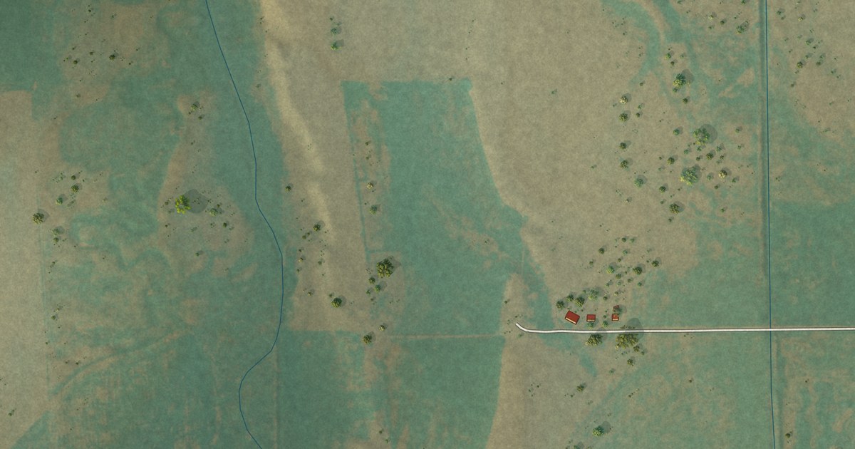
A detailed map of Westview Circle, Wyoming, showing every building in its true location, the roads by name, and shaded topographical relief.
Read More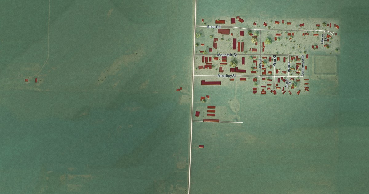
A detailed map of Urie, Wyoming, showing every building in its true location, the roads by name, and shaded topographical relief.
Read More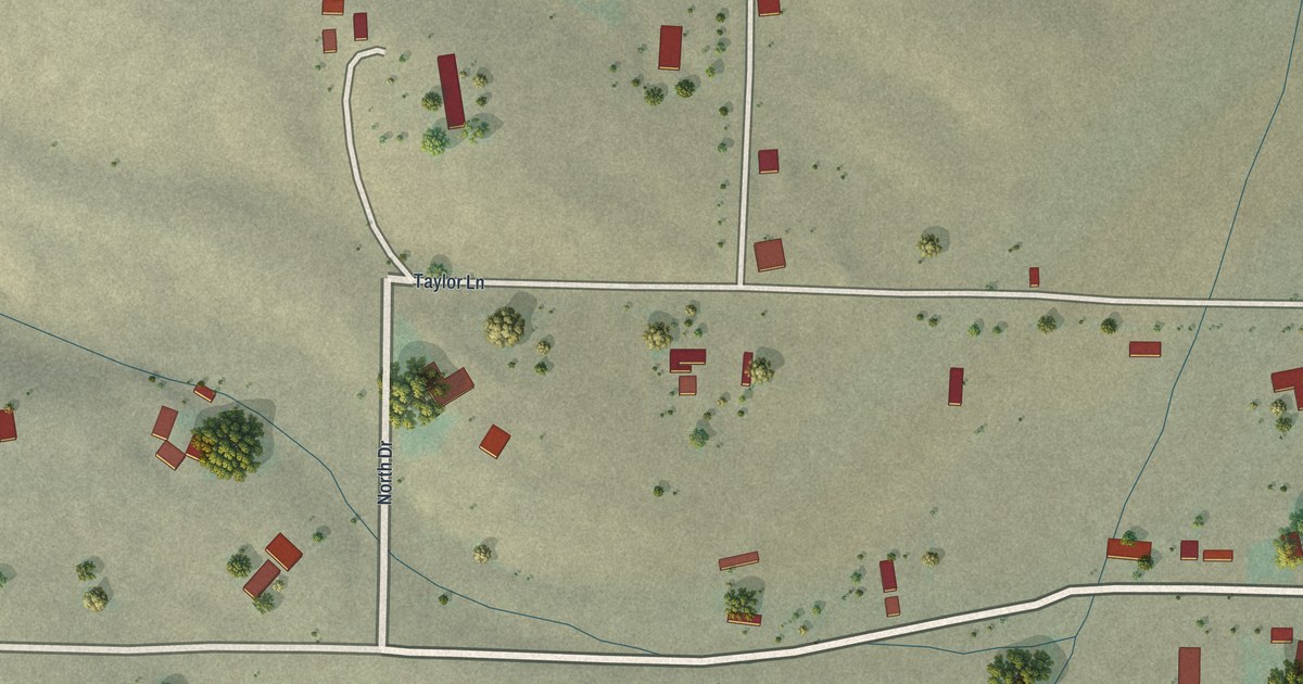
A detailed map of Taylor, Wyoming, showing every building in its true location, the roads by name, and shaded topographical relief.
Read More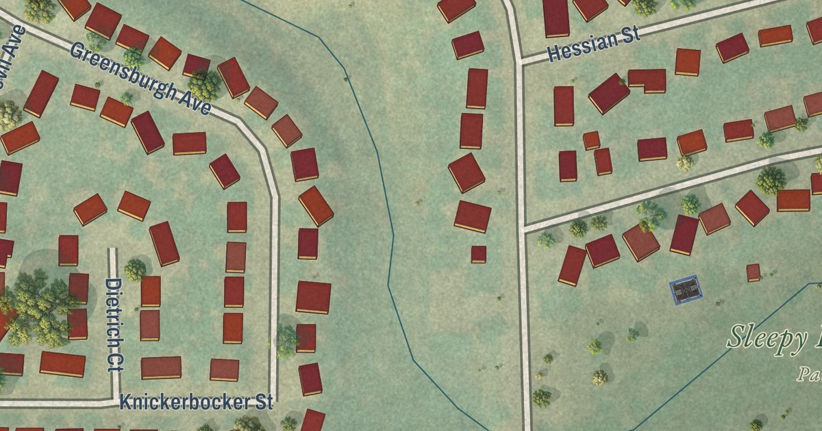
A detailed map of Sleepy Hollow, Wyoming, showing every building in its true location, the roads by name, and shaded topographical relief.
Read More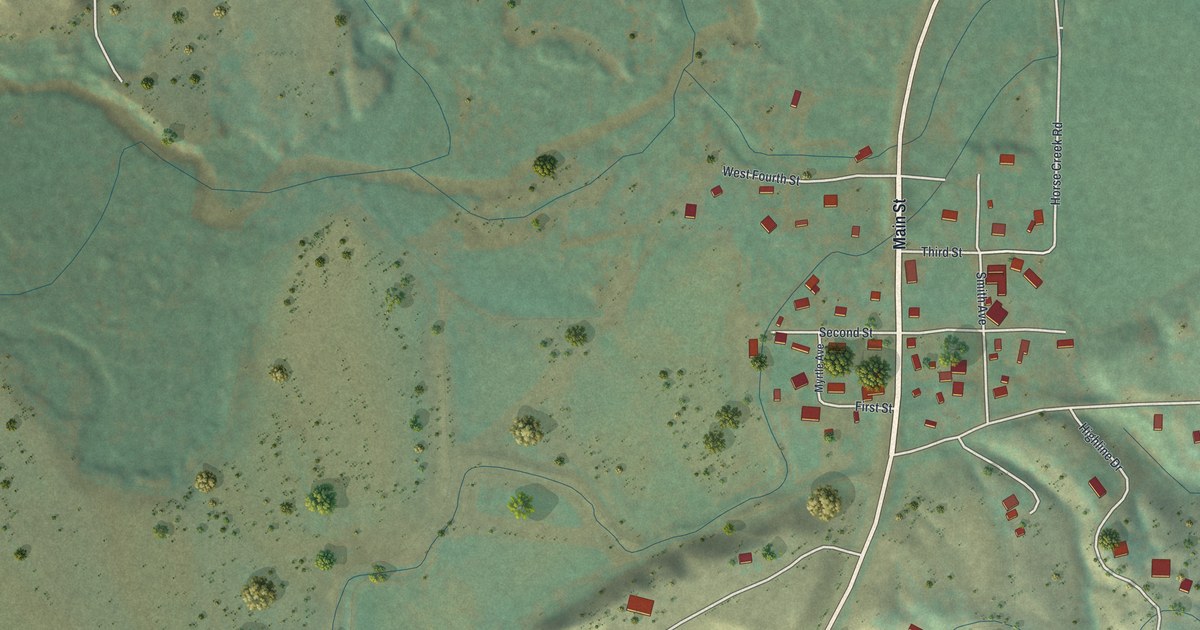
A detailed map of Shell, Wyoming, showing every building in its true location, the roads by name, and shaded topographical relief.
Read More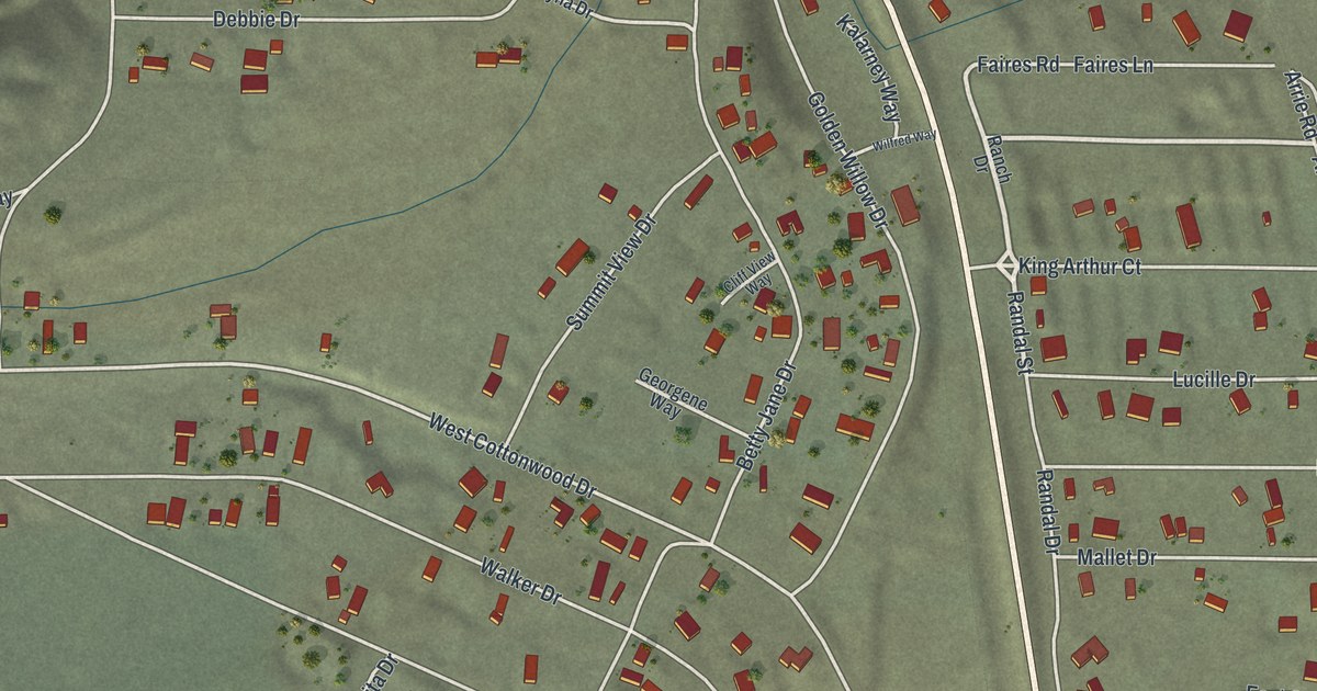
A detailed map of Walker Lake, Nevada, showing every building in its true location, the roads by name, and shaded topographical relief.
Read More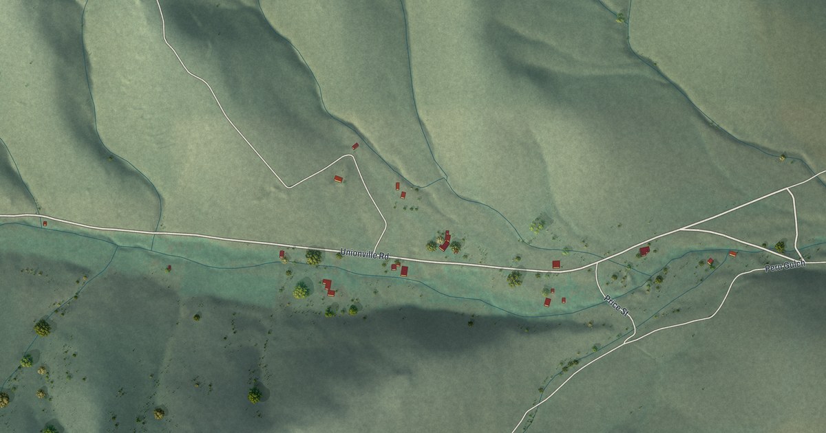
A detailed map of Unionville, Nevada, showing every building in its true location, the roads by name, and shaded topographical relief.
Read More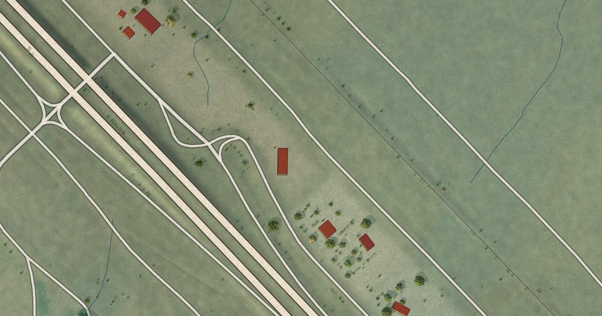
A detailed map of Valmy, Nevada, showing every building in its true location, the roads by name, and shaded topographical relief.
Read More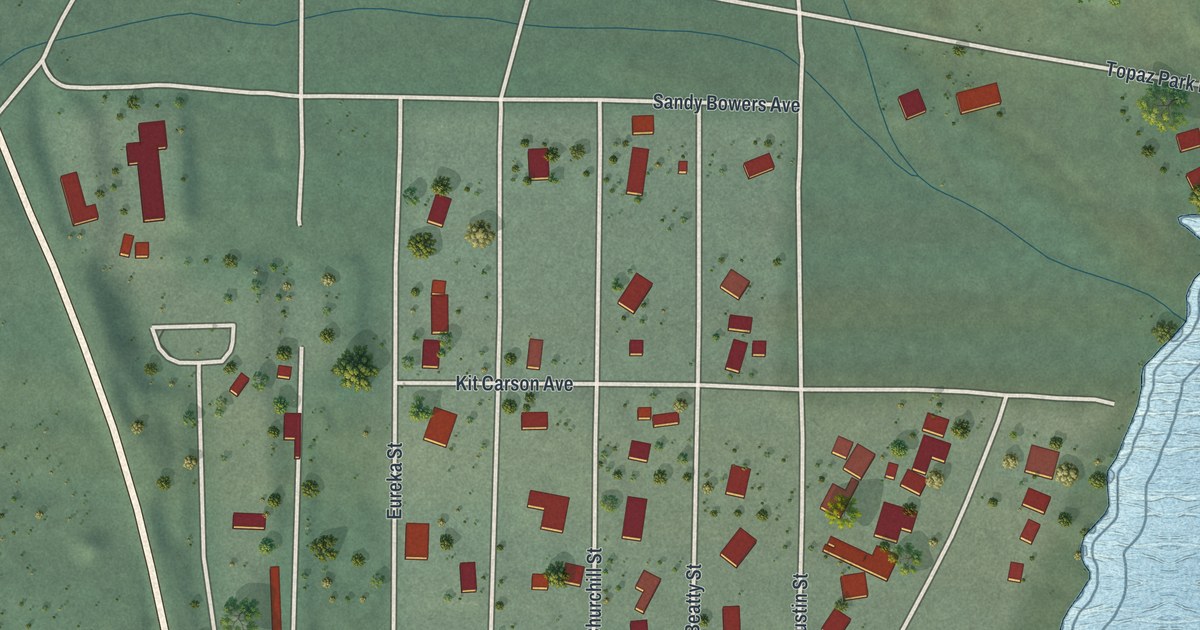
A detailed map of Topaz Lake, Nevada, showing every building in its true location, the roads by name, and shaded topographical relief.
Read More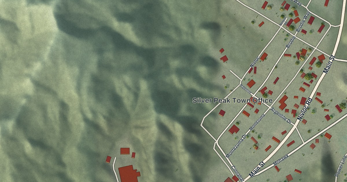
A detailed map of Silver Peak, Nevada, showing every building in its true location, the roads by name, and shaded topographical relief.
Read More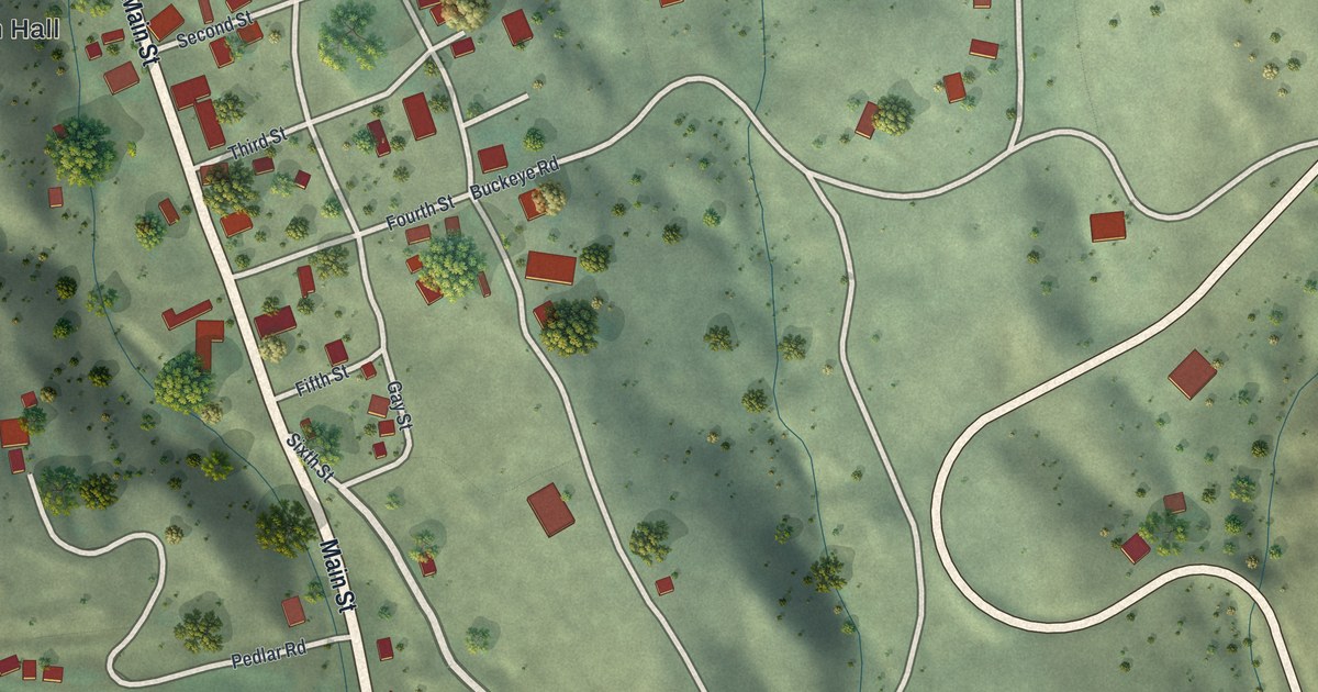
A detailed map of Silver City, Nevada, showing every building in its true location, the roads by name, and shaded topographical relief.
Read More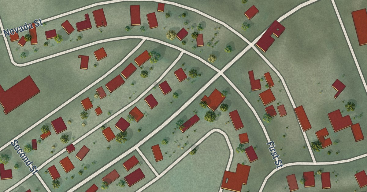
A detailed map of Ruth, Nevada, showing every building in its true location, the roads by name, and shaded topographical relief.
Read More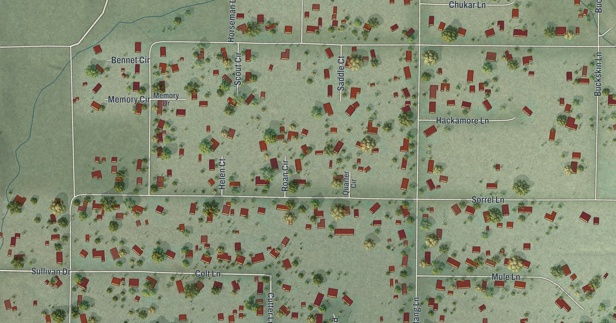
A detailed map of Ruhenstroth, Nevada, showing every building in its true location, the roads by name, and shaded topographical relief.
Read More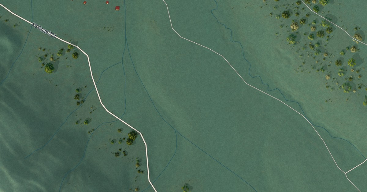
A detailed map of Ryan Park, Wyoming, showing every building in its true location, the roads by name, and shaded topographical relief.
Read More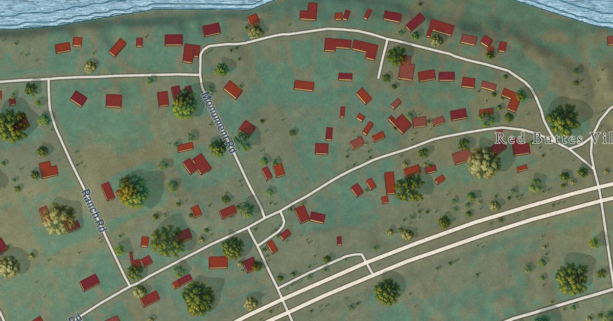
A detailed map of Red Butte, Wyoming, showing every building in its true location, the roads by name, and shaded topographical relief.
Read More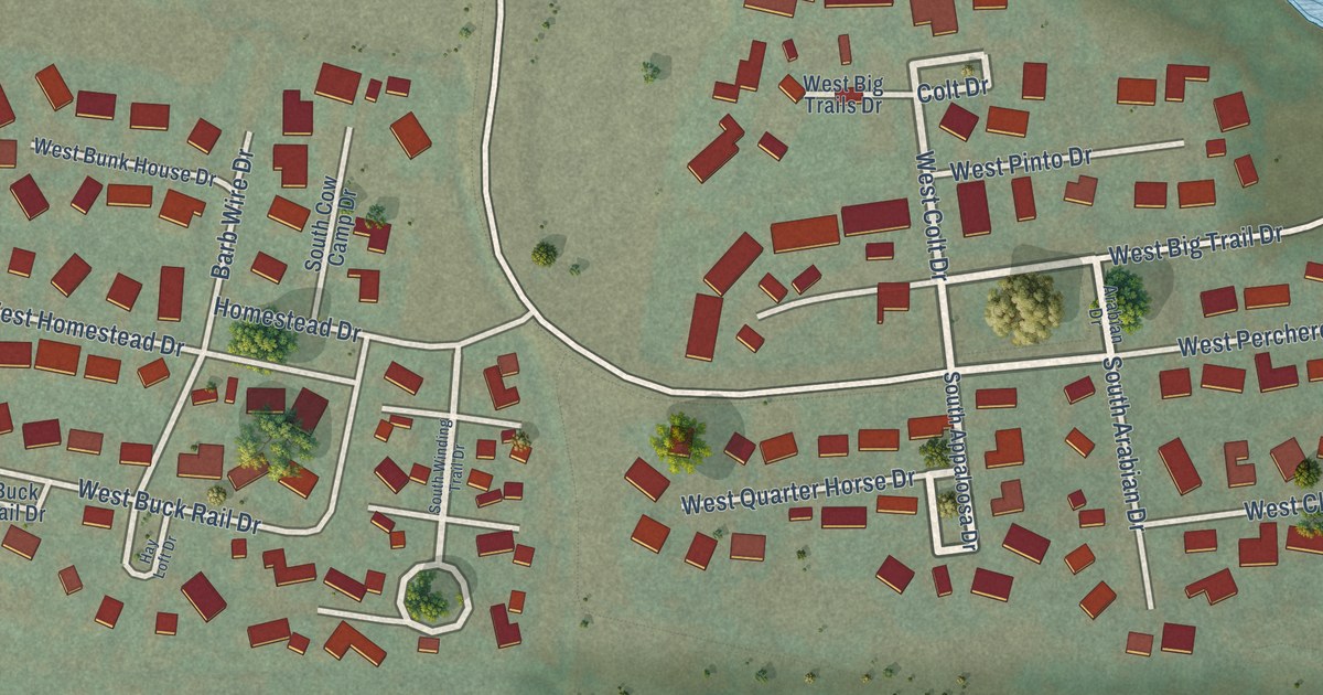
A detailed map of Rafter J Ranch, Wyoming, showing every building in its true location, the roads by name, and shaded topographical relief.
Read More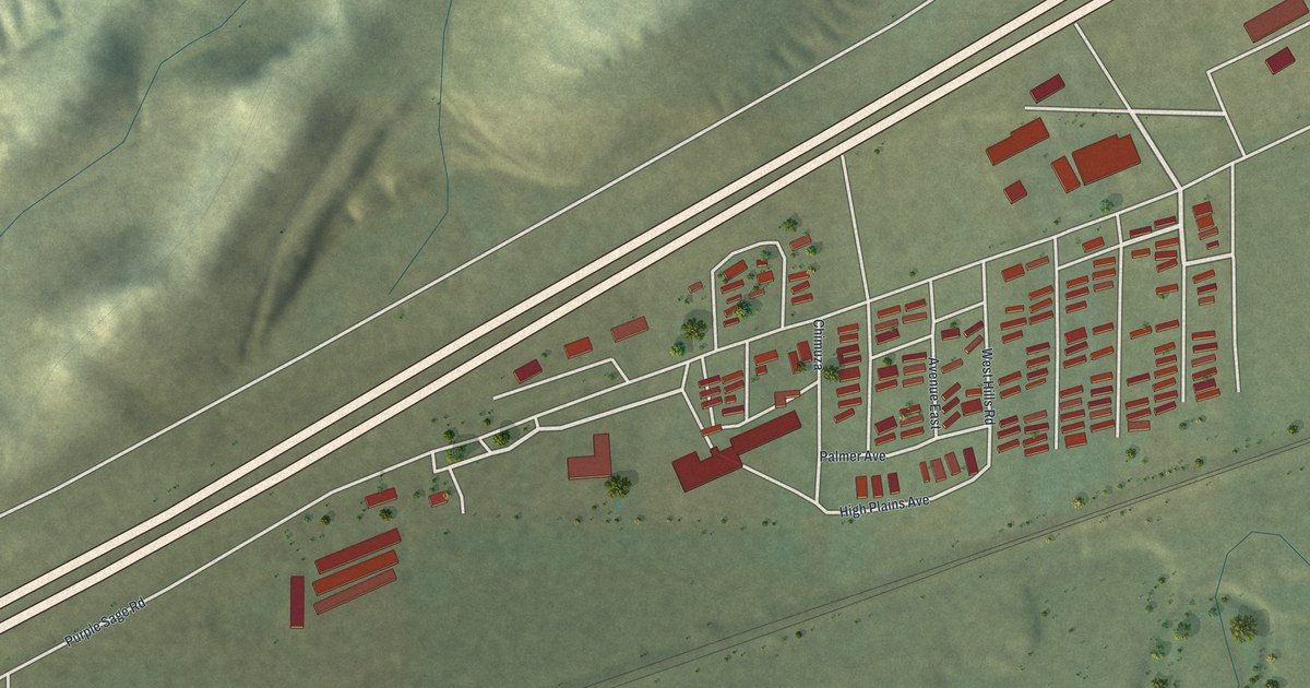
A detailed map of Purple Sage, Wyoming, showing every building in its true location, the roads by name, and shaded topographical relief.
Read More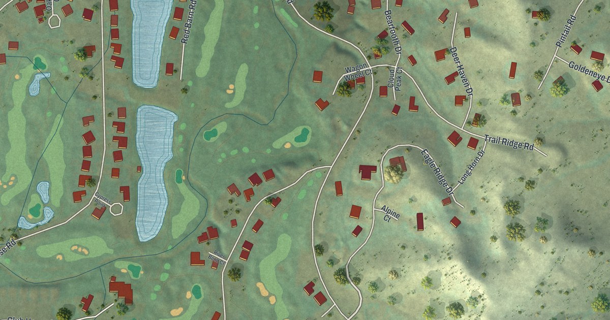
A detailed map of Powder Horn, Wyoming, showing every building in its true location, the roads by name, and shaded topographical relief.
Read More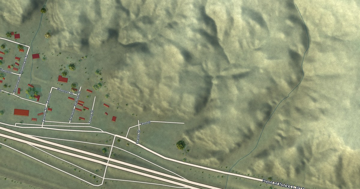
A detailed map of Point of Rocks, Wyoming, showing every building in its true location, the roads by name, and shaded topographical relief.
Read More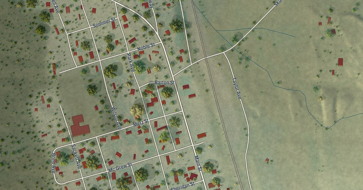
A detailed map of Osage, Wyoming, showing every building in its true location, the roads by name, and shaded topographical relief.
Read More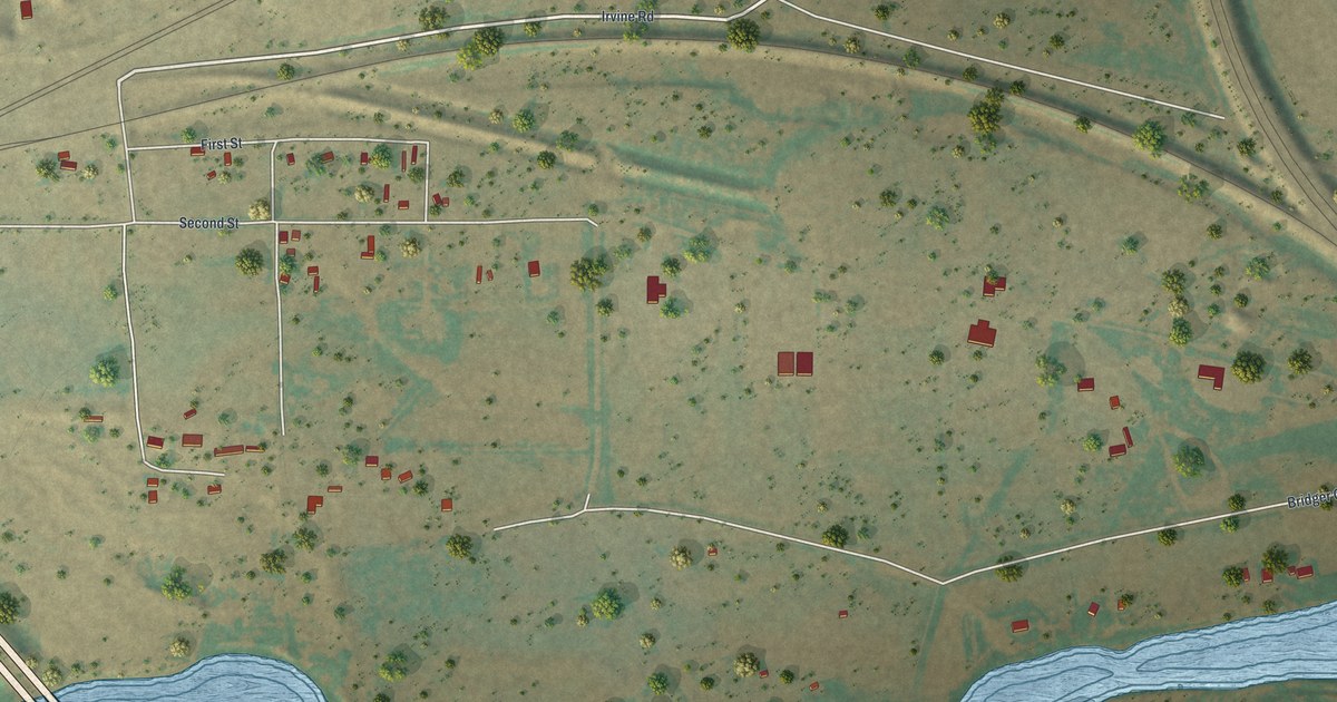
A detailed map of Orin, Wyoming, showing every building in its true location, the roads by name, and shaded topographical relief.
Read More















