Detailed Map of Preston, Nevada
A detailed map of Preston, Nevada, showing every building in its true location, the roads by name, and shaded topographical relief.
Read More
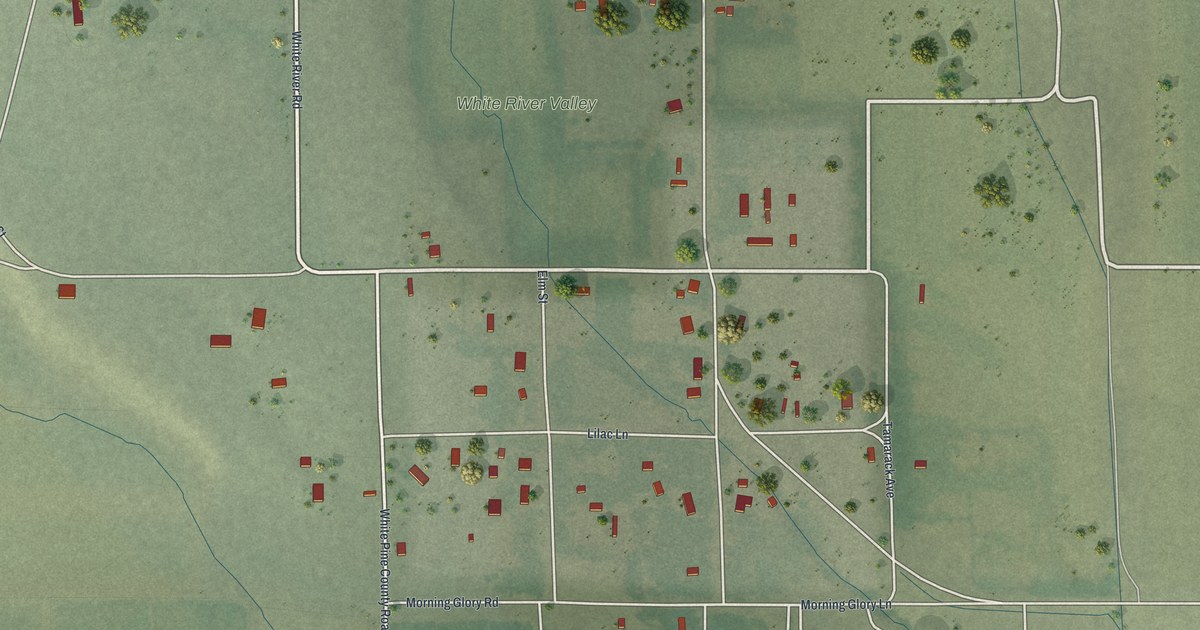
A detailed map of Preston, Nevada, showing every building in its true location, the roads by name, and shaded topographical relief.
Read More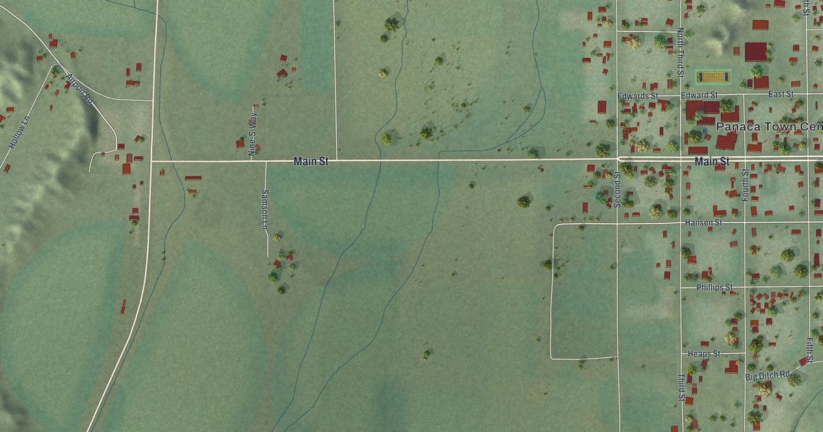
A detailed map of Panaca, Nevada, showing every building in its true location, the roads by name, and shaded topographical relief.
Read More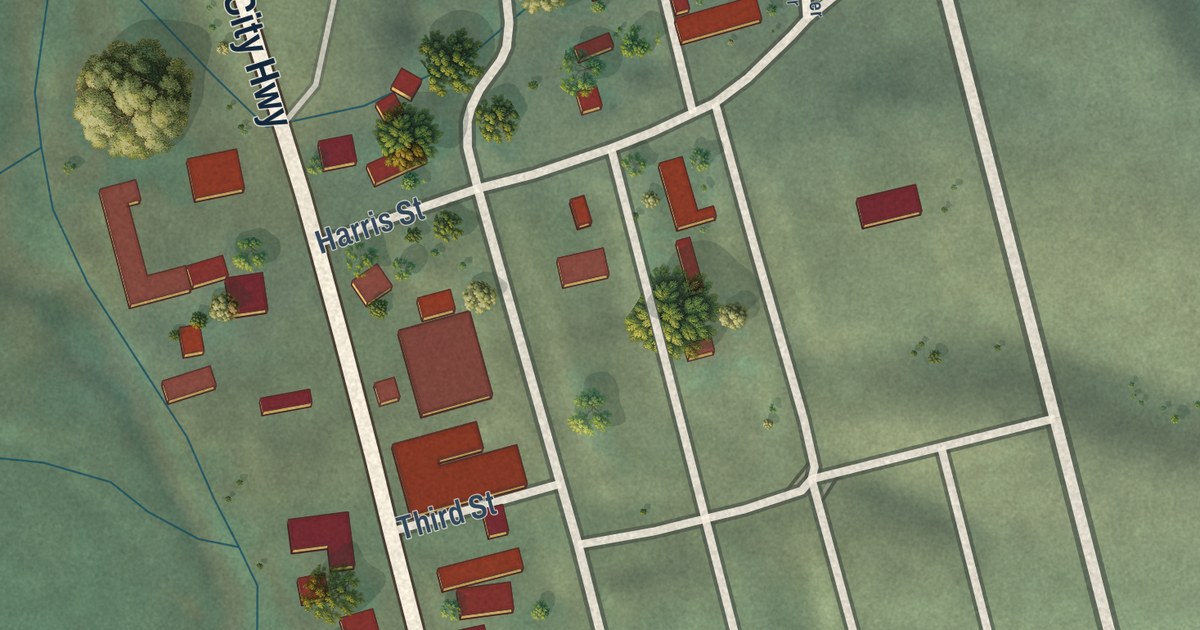
A detailed map of Mountain City, Nevada, showing every building in its true location, the roads by name, and shaded topographical relief.
Read More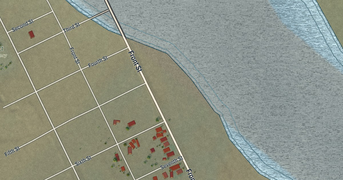
A detailed map of Mina, Nevada, showing every building in its true location, the roads by name, and shaded topographical relief.
Read More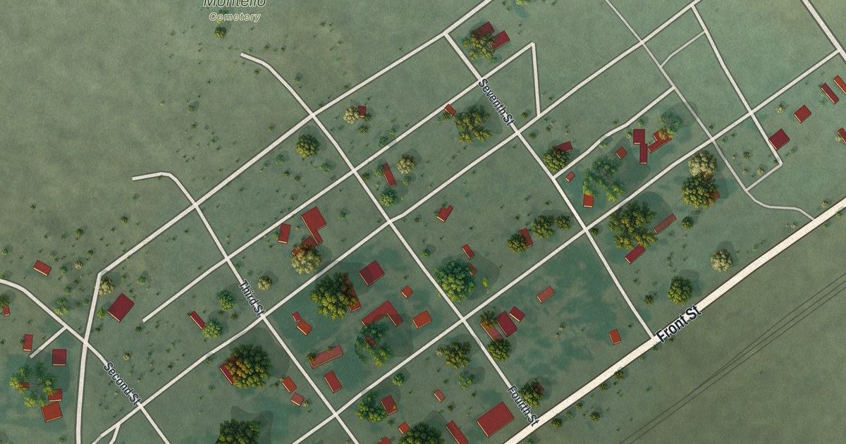
A detailed map of Montello, Nevada, showing every building in its true location, the roads by name, and shaded topographical relief.
Read More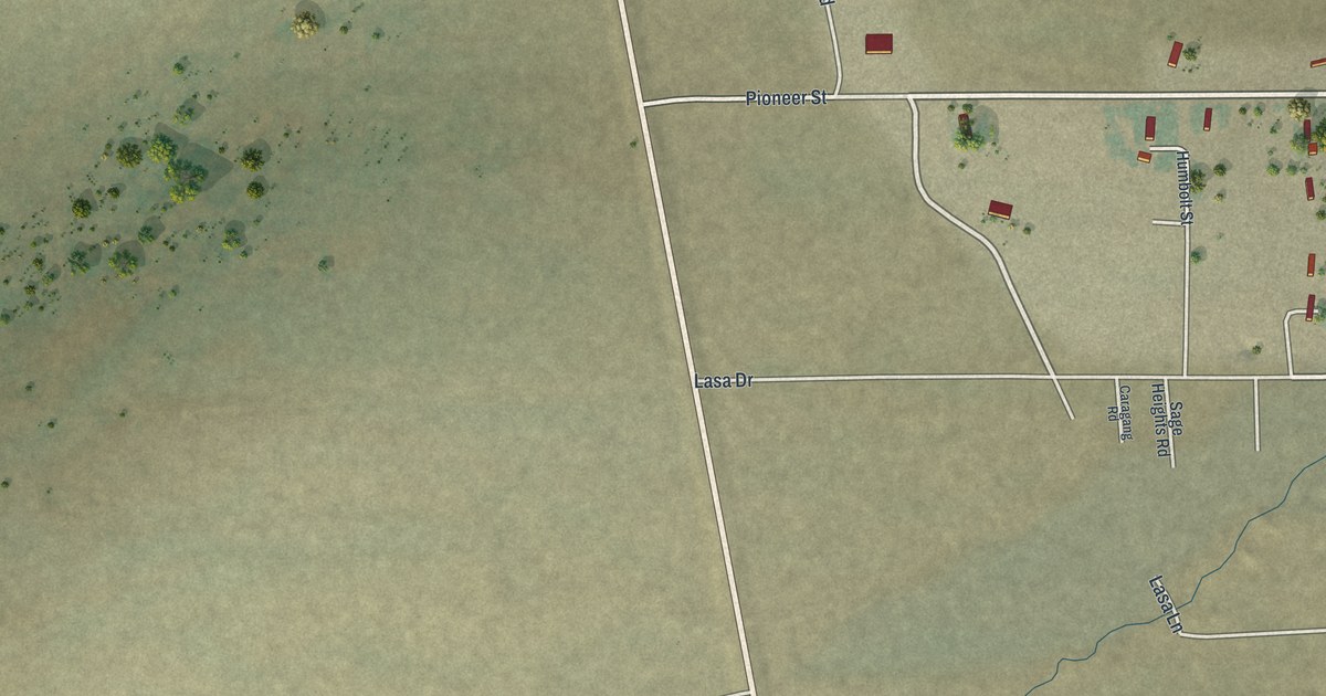
A detailed map of McDermitt, Nevada, showing every building in its true location, the roads by name, and shaded topographical relief.
Read More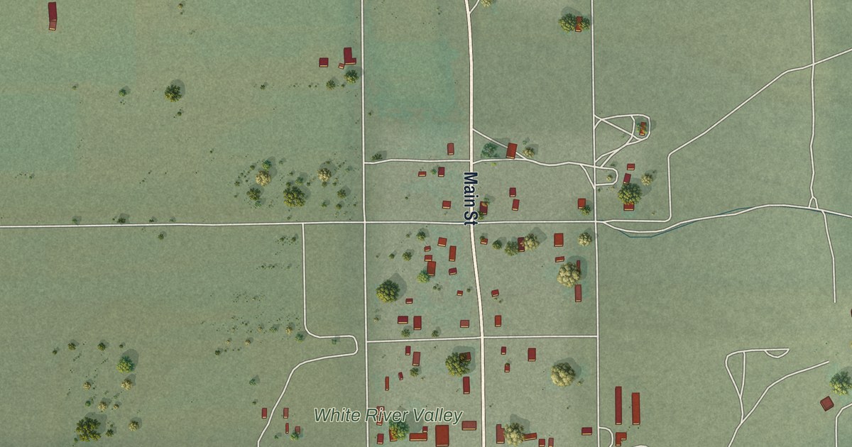
A detailed map of Lund, Nevada, showing every building in its true location, the roads by name, and shaded topographical relief.
Read More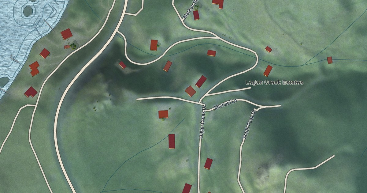
A detailed map of Logan Creek, Nevada, showing every building in its true location, the roads by name, and shaded topographical relief.
Read More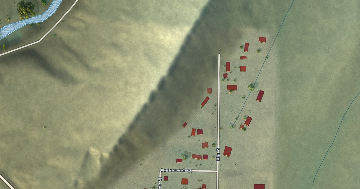
A detailed map of Oakley, Wyoming, showing every building in its true location, the roads by name, and shaded topographical relief.
Read More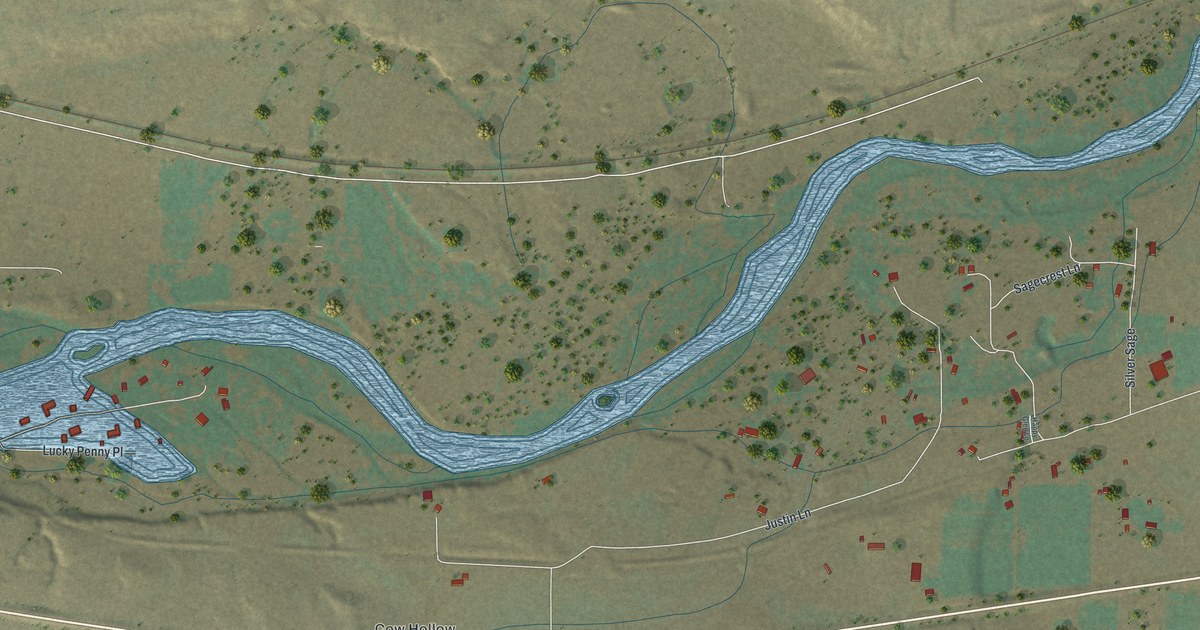
A detailed map of Meadow Acres, Wyoming, showing every building in its true location, the roads by name, and shaded topographical relief.
Read More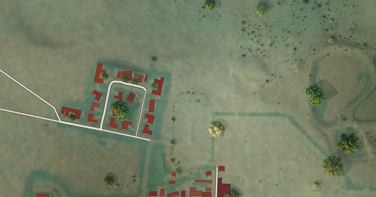
A detailed map of Little America, Wyoming, showing every building in its true location, the roads by name, and shaded topographical relief.
Read More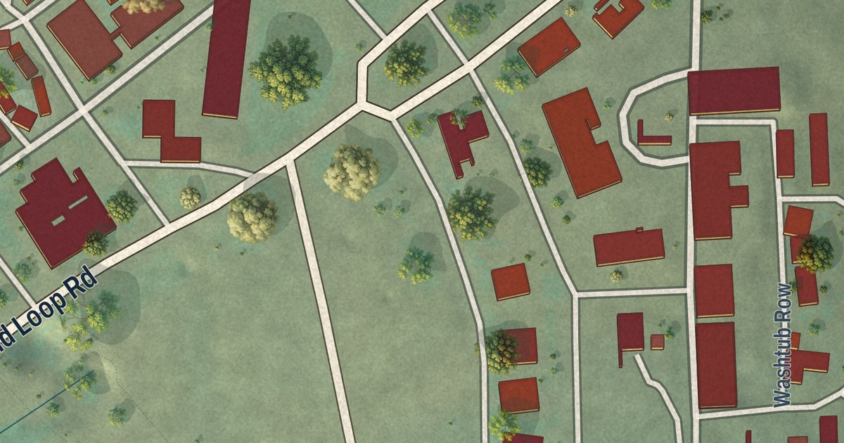
A detailed map of Mammoth, Wyoming, showing every building in its true location, the roads by name, and shaded topographical relief.
Read More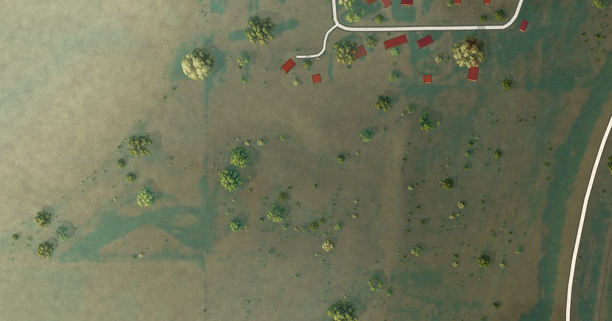
A detailed map of Lakeview North, Wyoming, showing every building in its true location, the roads by name, and shaded topographical relief.
Read More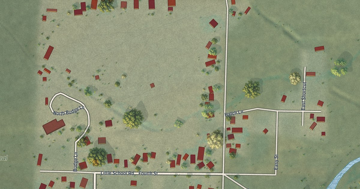
A detailed map of Kelly, Wyoming, showing every building in its true location, the roads by name, and shaded topographical relief.
Read More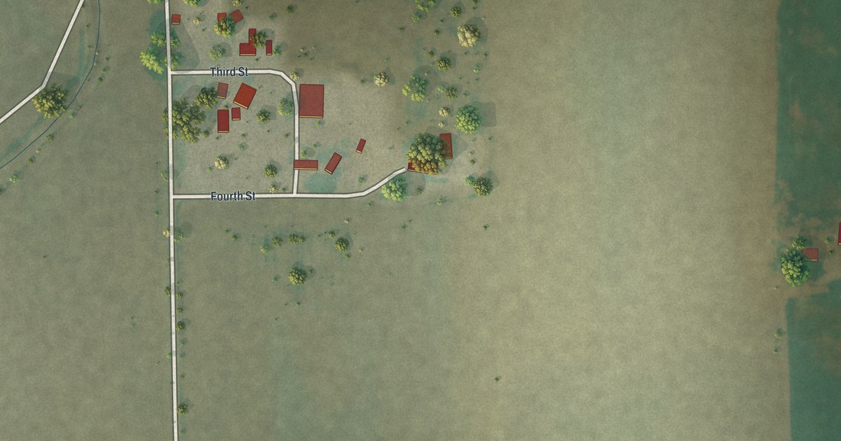
A detailed map of Huntley, Wyoming, showing every building in its true location, the roads by name, and shaded topographical relief.
Read More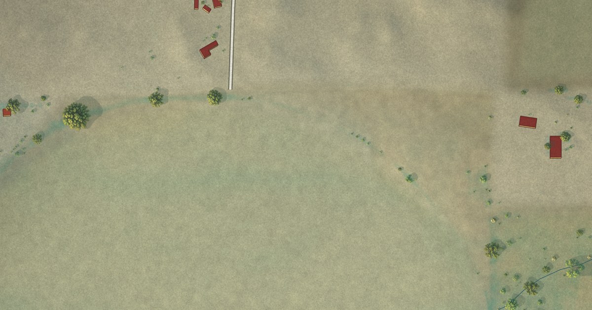
A detailed map of Hillsdale, Wyoming, showing every building in its true location, the roads by name, and shaded topographical relief.
Read More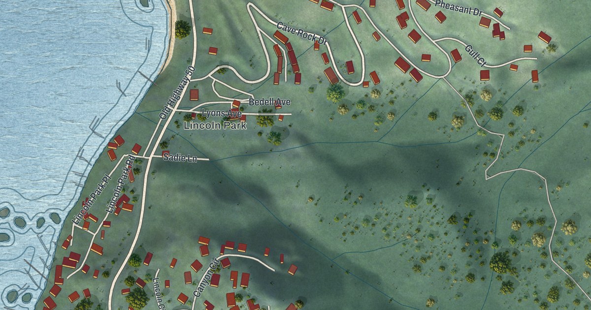
A detailed map of Lakeridge, Nevada, showing every building in its true location, the roads by name, and shaded topographical relief.
Read More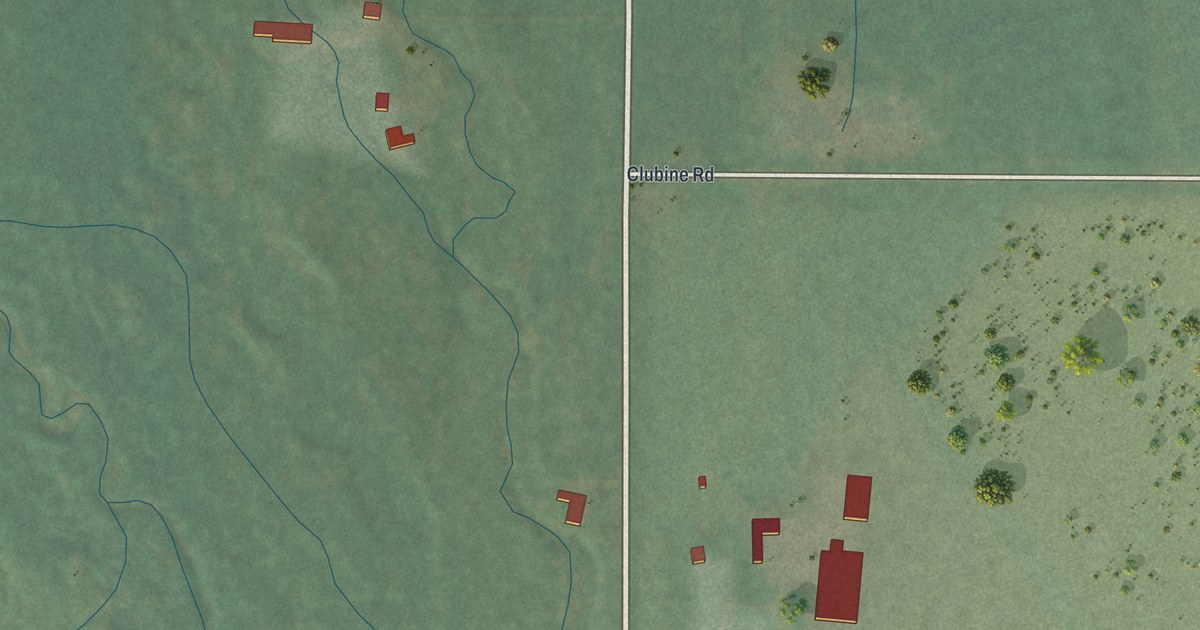
A detailed map of Lamoille, Nevada, showing every building in its true location, the roads by name, and shaded topographical relief.
Read More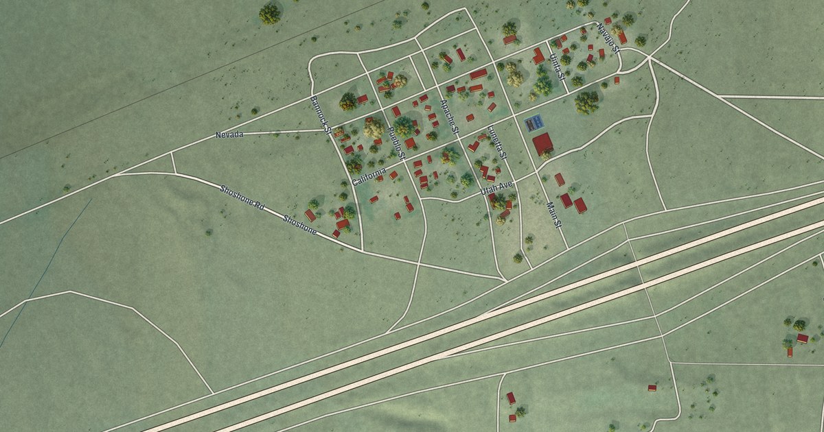
A detailed map of Imlay, Nevada, showing every building in its true location, the roads by name, and shaded topographical relief.
Read More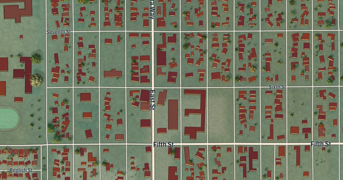
A detailed map of Hawthorne, Nevada, showing every building in its true location, the roads by name, and shaded topographical relief.
Read More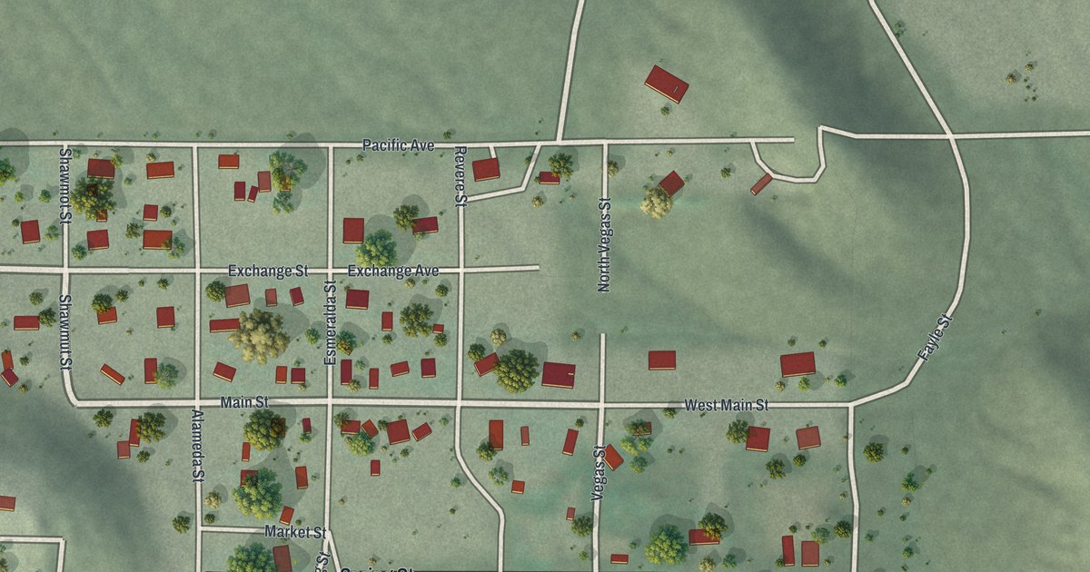
A detailed map of Goodsprings, Nevada, showing every building in its true location, the roads by name, and shaded topographical relief.
Read More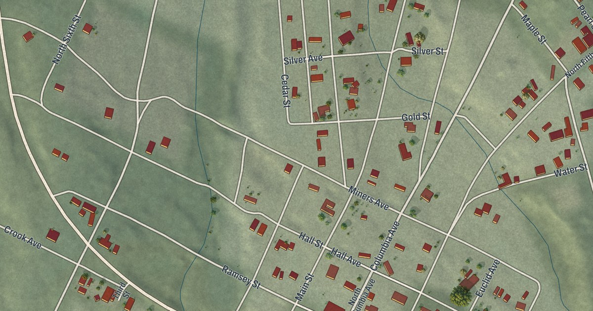
A detailed map of Goldfield, Nevada, showing every building in its true location, the roads by name, and shaded topographical relief.
Read More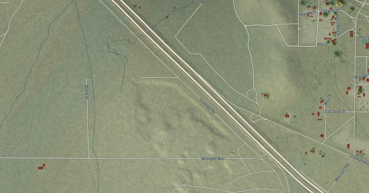
A detailed map of Golconda, Nevada, showing every building in its true location, the roads by name, and shaded topographical relief.
Read More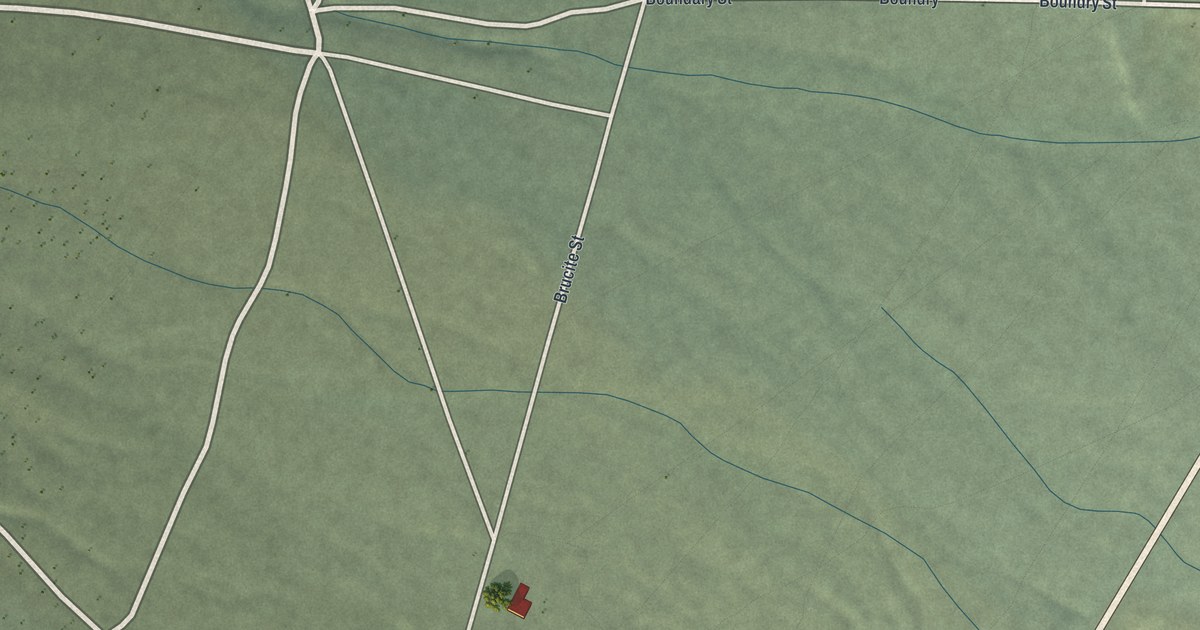
A detailed map of Gabbs, Nevada, showing every building in its true location, the roads by name, and shaded topographical relief.
Read More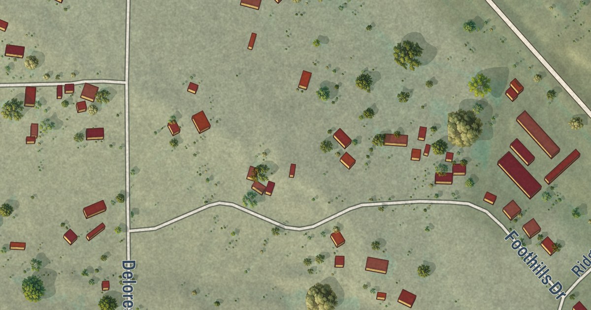
A detailed map of Hill View Heights, Wyoming, showing every building in its true location, the roads by name, and shaded topographical relief.
Read More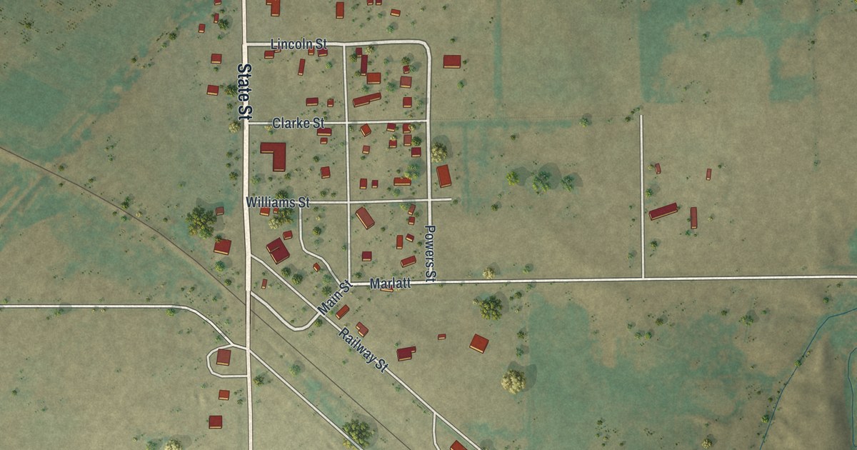
A detailed map of Hawk Springs, Wyoming, showing every building in its true location, the roads by name, and shaded topographical relief.
Read More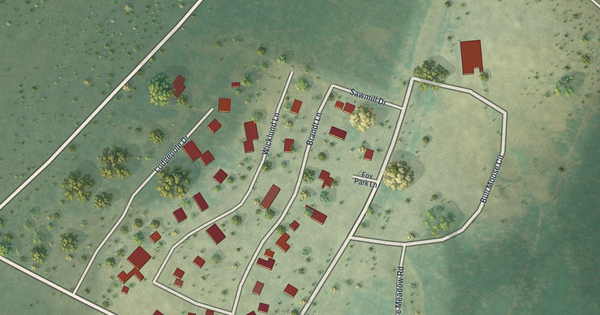
A detailed map of Fox Park, Wyoming, showing every building in its true location, the roads by name, and shaded topographical relief.
Read More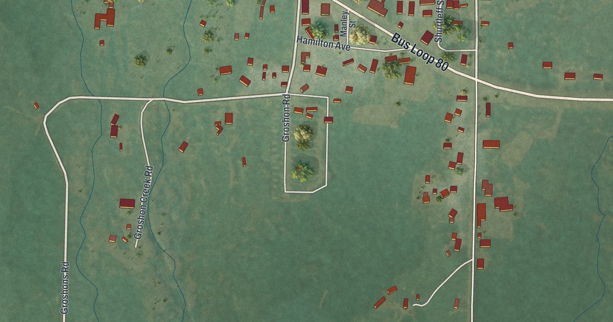
A detailed map of Fort Bridger, Wyoming, showing every building in its true location, the roads by name, and shaded topographical relief.
Read More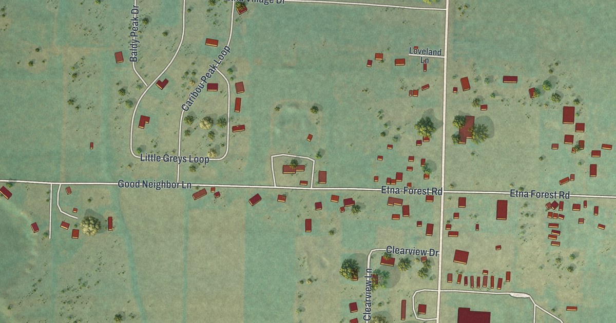
A detailed map of Etna, Wyoming, showing every building in its true location, the roads by name, and shaded topographical relief.
Read More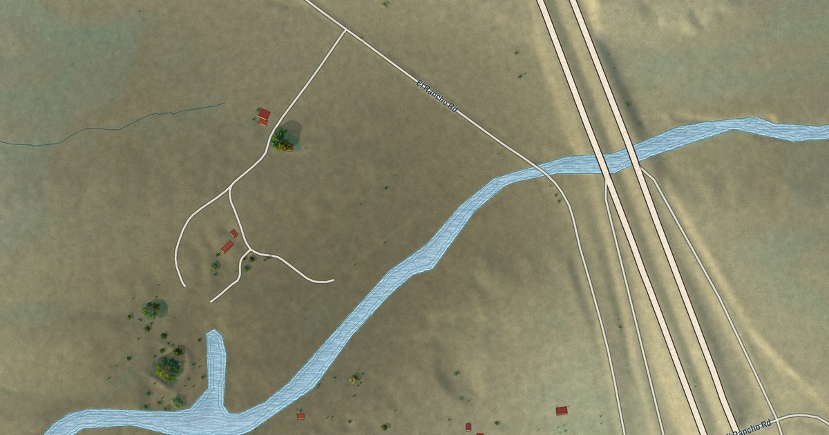
A detailed map of El Rancho, Wyoming, showing every building in its true location, the roads by name, and shaded topographical relief.
Read More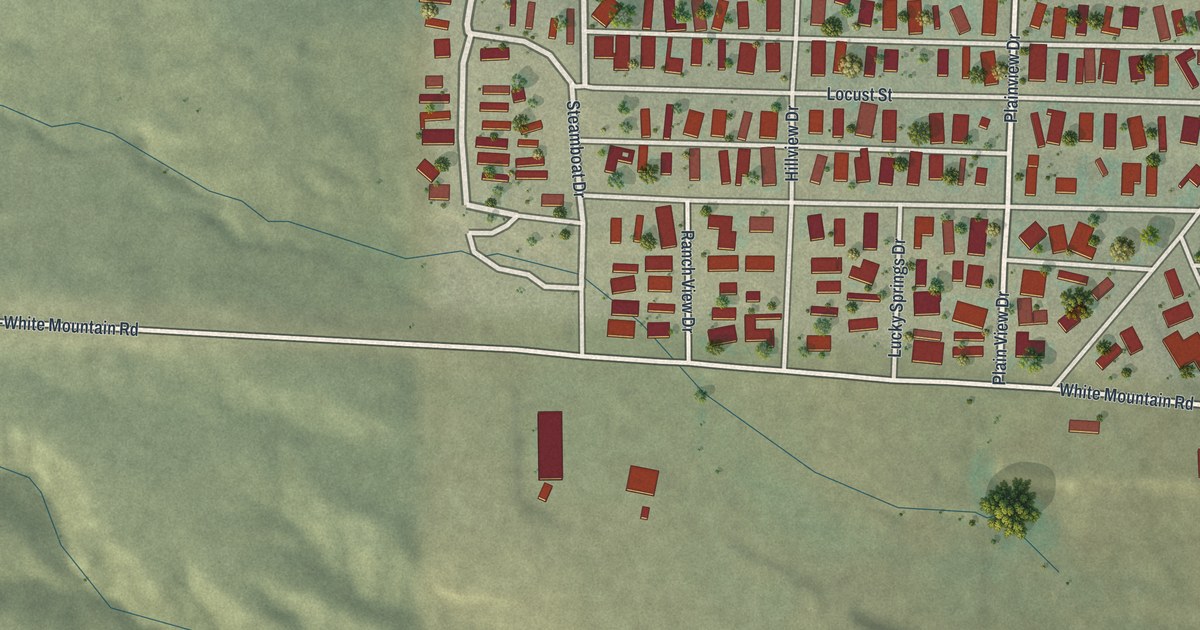
A detailed map of Clearview Acres, Wyoming, showing every building in its true location, the roads by name, and shaded topographical relief.
Read More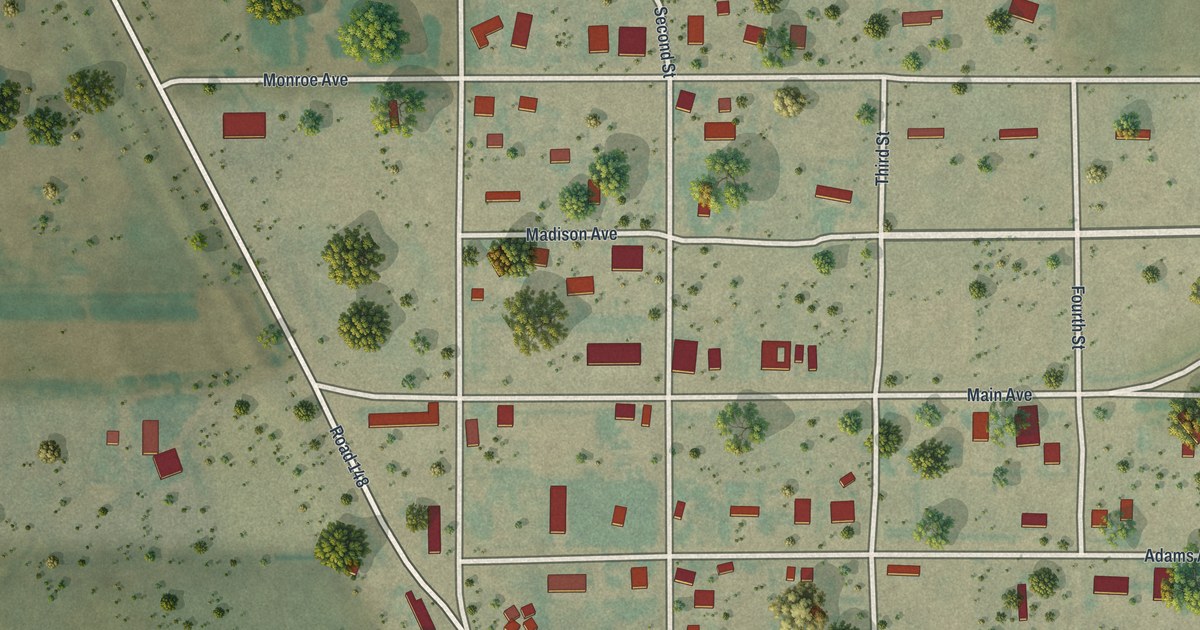
A detailed map of Carpenter, Wyoming, showing every building in its true location, the roads by name, and shaded topographical relief.
Read More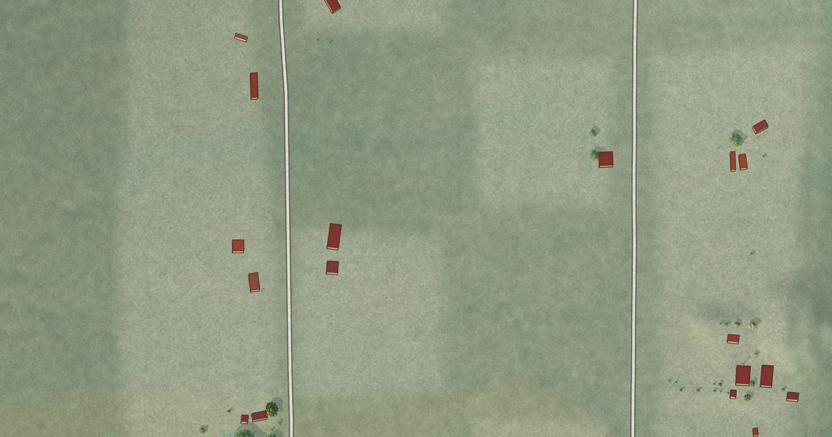
A detailed map of Beaverdam, Nevada, showing every building in its true location, the roads by name, and shaded topographical relief.
Read More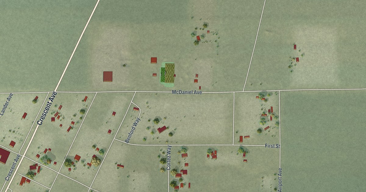
A detailed map of Crescent Valley, Nevada, showing every building in its true location, the roads by name, and shaded topographical relief.
Read More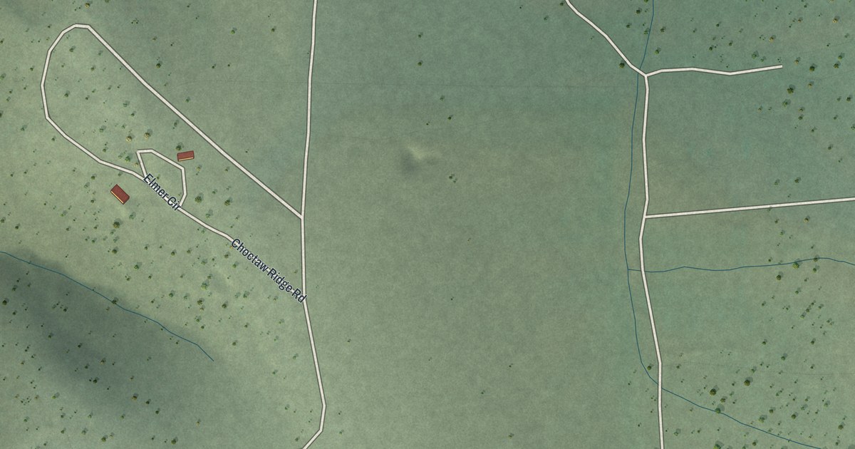
A detailed map of Carter Springs, Nevada, showing every building in its true location, the roads by name, and shaded topographical relief.
Read More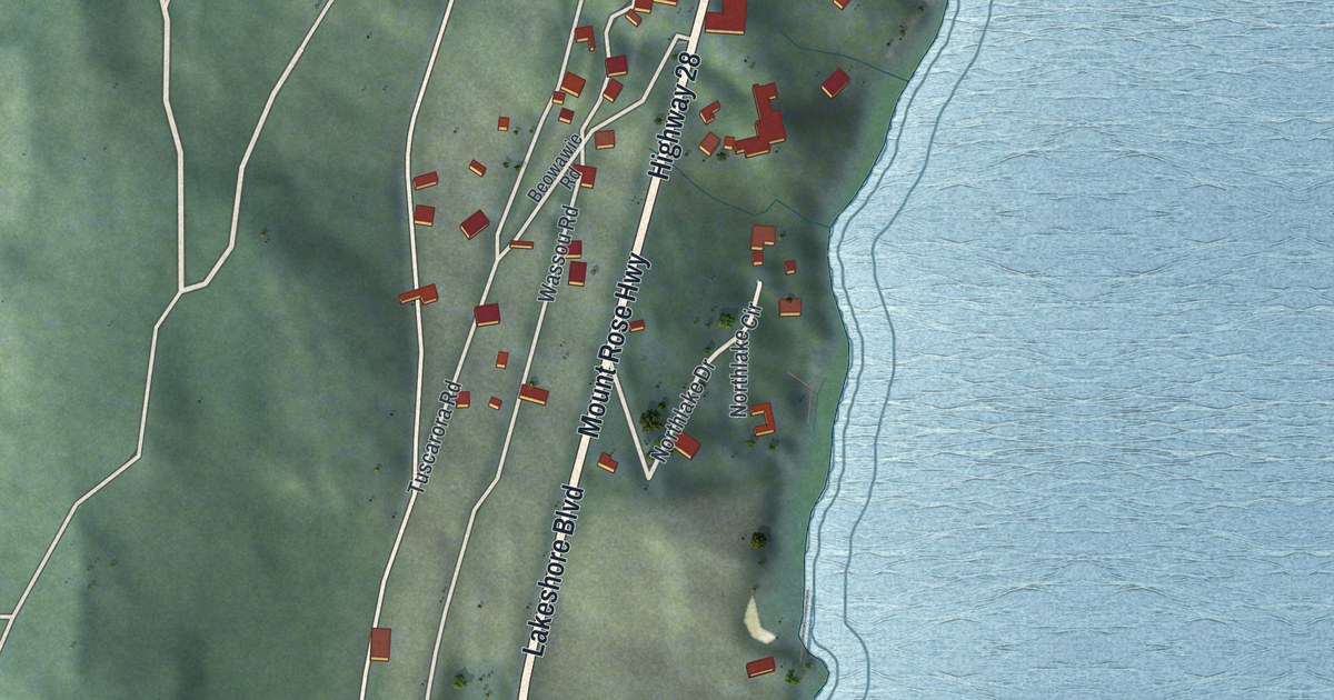
A detailed map of Crystal Bay, Nevada, showing every building in its true location, the roads by name, and shaded topographical relief.
Read More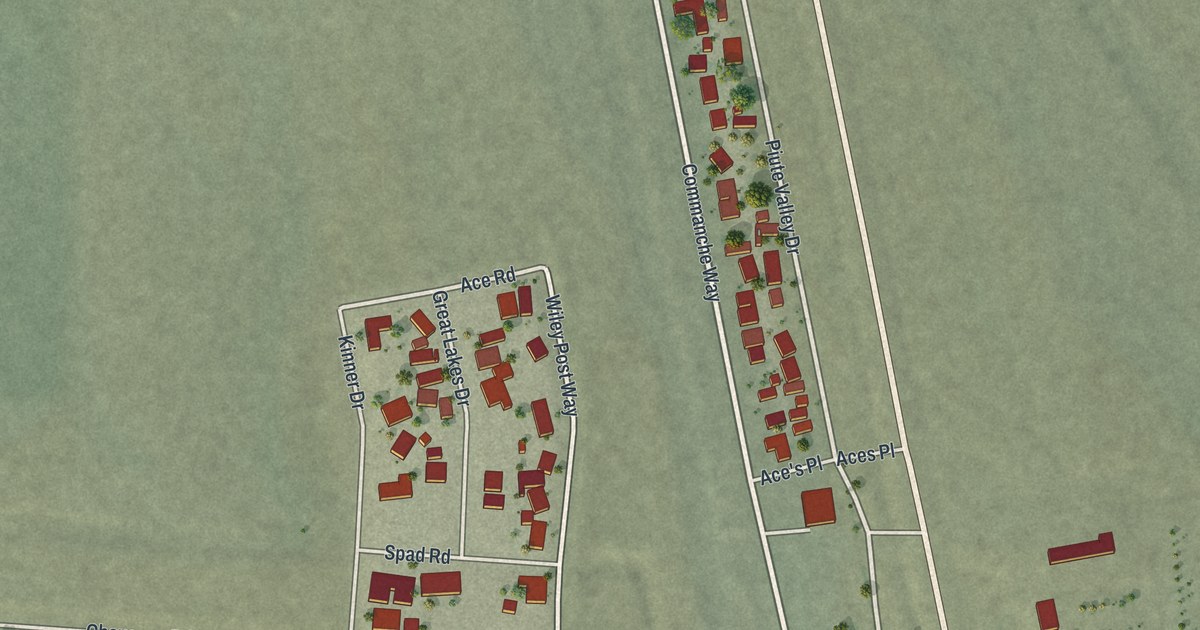
A detailed map of Cal-Nev-Ari, Nevada, showing every building in its true location, the roads by name, and shaded topographical relief.
Read More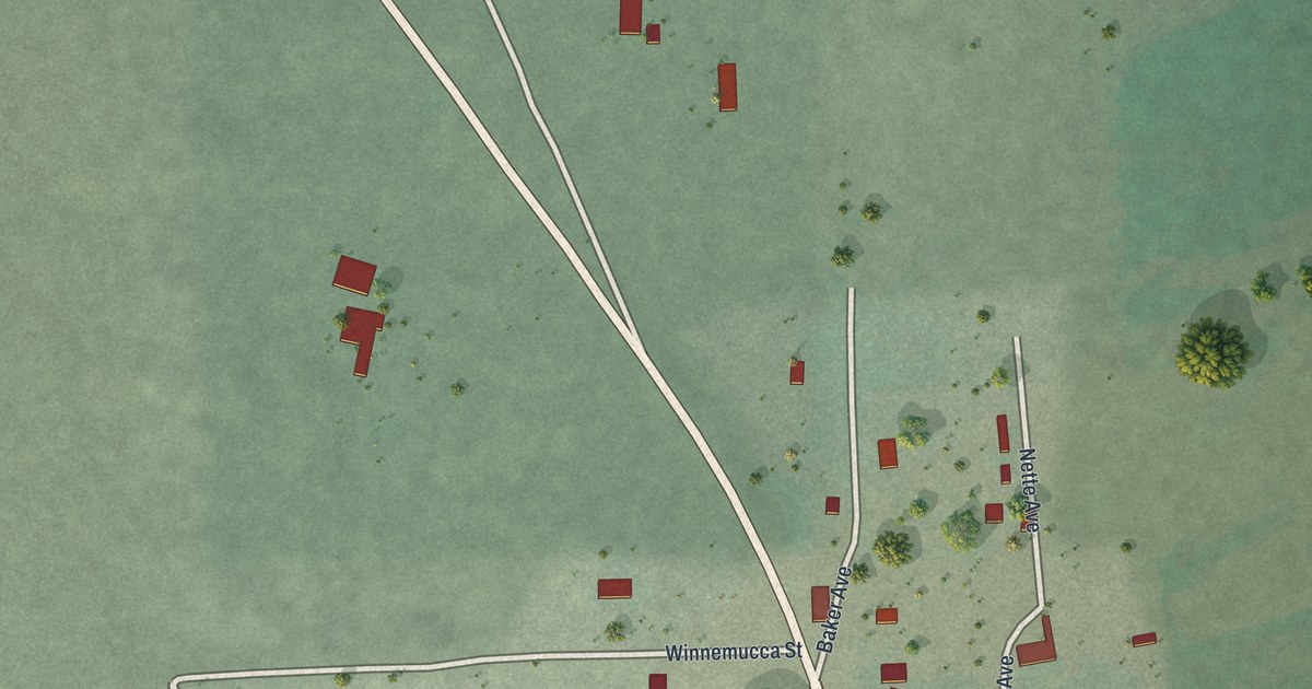
A detailed map of Baker, Nevada, showing every building in its true location, the roads by name, and shaded topographical relief.
Read More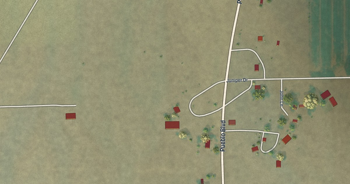
A detailed map of Denio, Nevada, showing every building in its true location, the roads by name, and shaded topographical relief.
Read More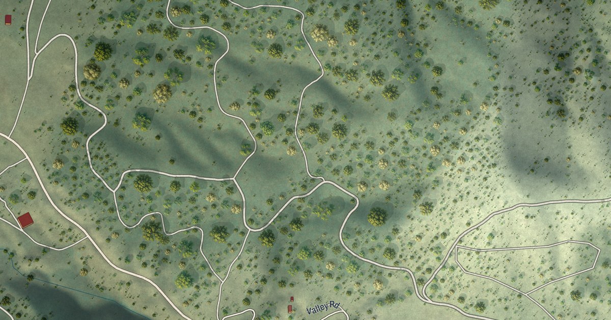
A detailed map of Austin, Nevada, showing every building in its true location, the roads by name, and shaded topographical relief.
Read More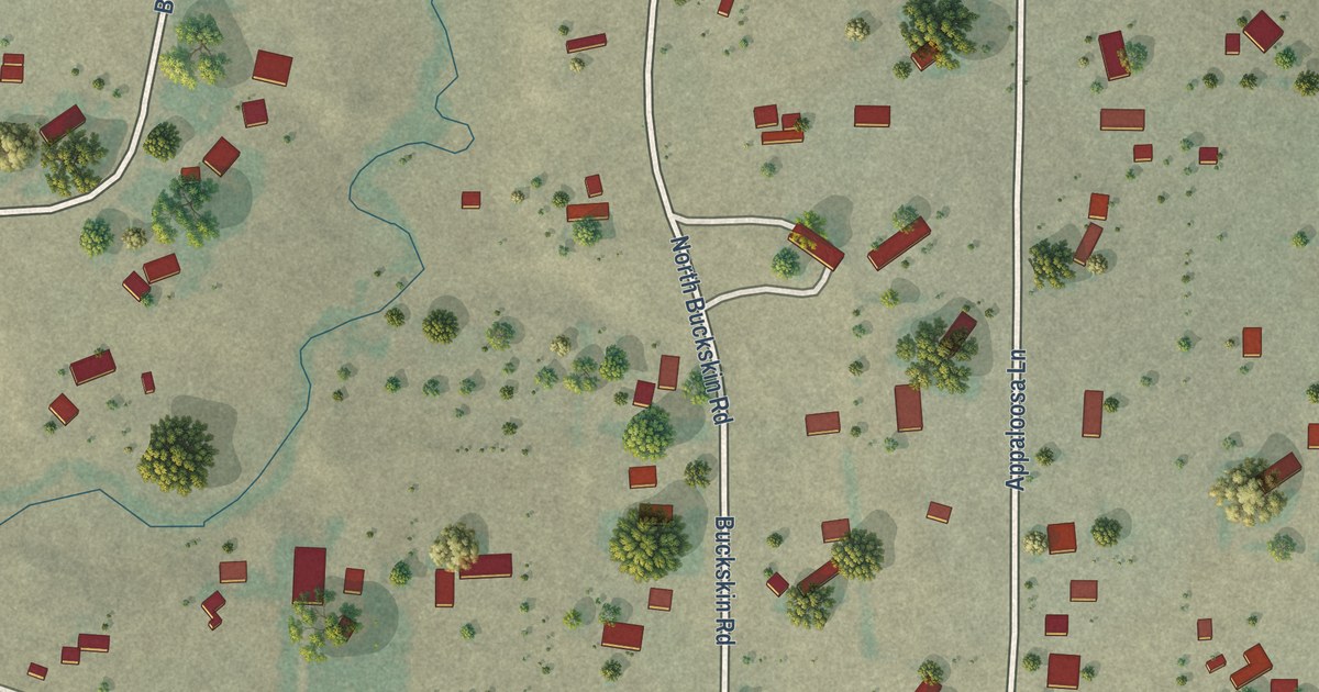
A detailed map of Brookhurst, Wyoming, showing every building in its true location, the roads by name, and shaded topographical relief.
Read More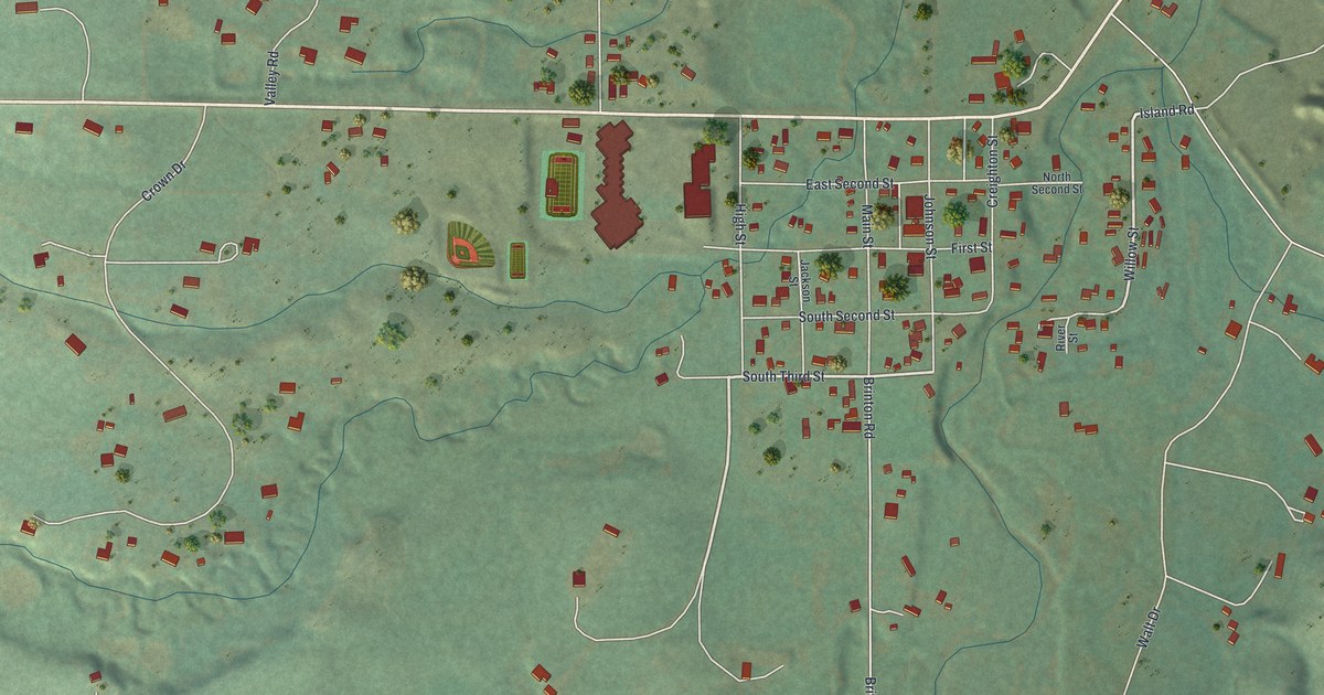
A detailed map of Big Horn, Wyoming, showing every building in its true location, the roads by name, and shaded topographical relief.
Read More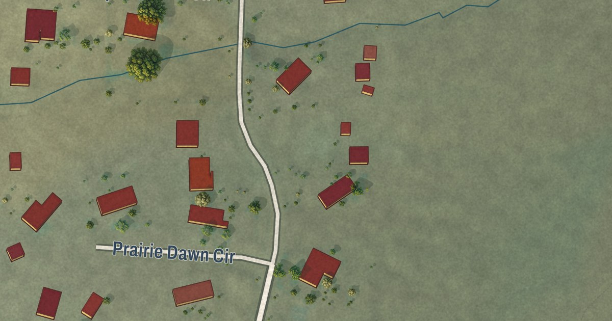
A detailed map of Arrowhead Springs, Wyoming, showing every building in its true location, the roads by name, and shaded topographical relief.
Read More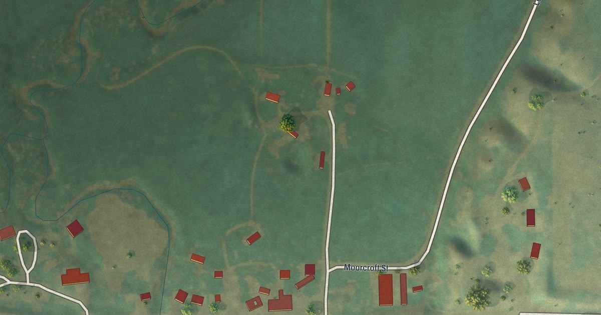
A detailed map of Beulah, Wyoming, showing every building in its true location, the roads by name, and shaded topographical relief.
Read More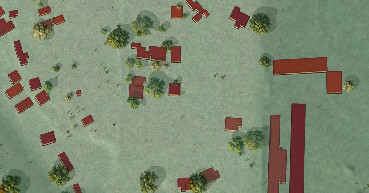
A detailed map of Alpine Northwest, Wyoming, showing every building in its true location, the roads by name, and shaded topographical relief.
Read More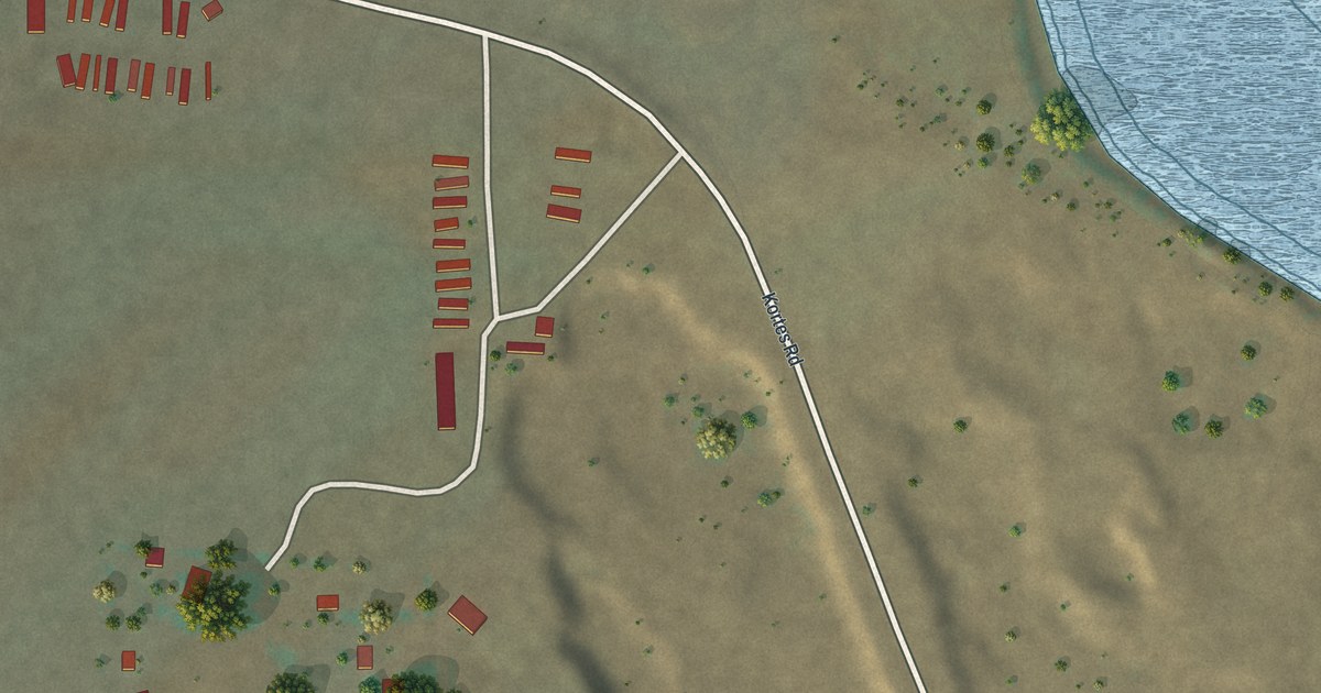
A detailed map of Alcova, Wyoming, showing every building in its true location, the roads by name, and shaded topographical relief.
Read More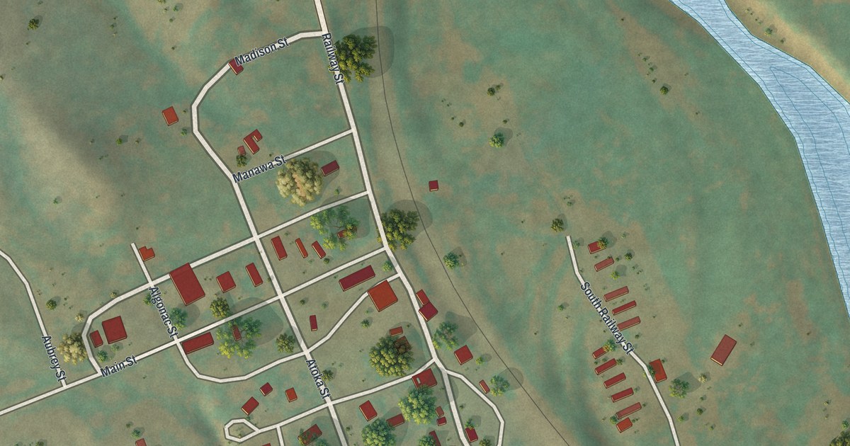
A detailed map of Arvada, Wyoming, showing every building in its true location, the roads by name, and shaded topographical relief.
Read More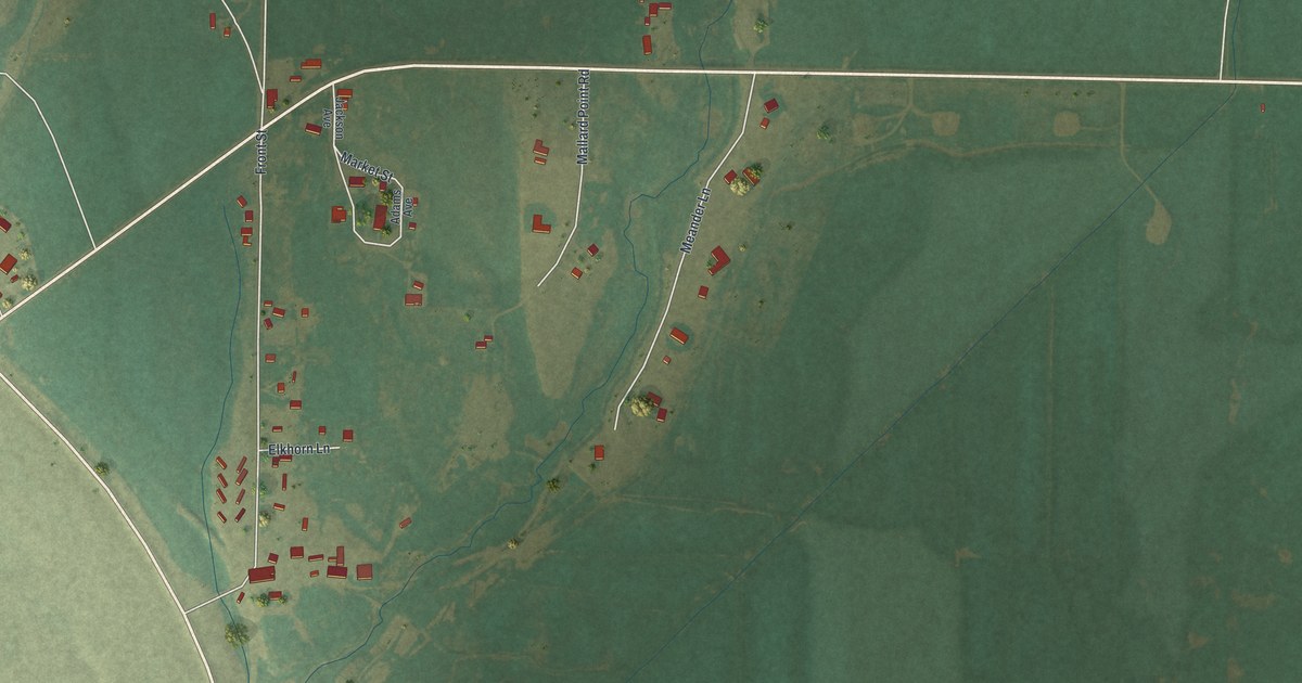
A detailed map of Boulder, Wyoming, showing every building in its true location, the roads by name, and shaded topographical relief.
Read More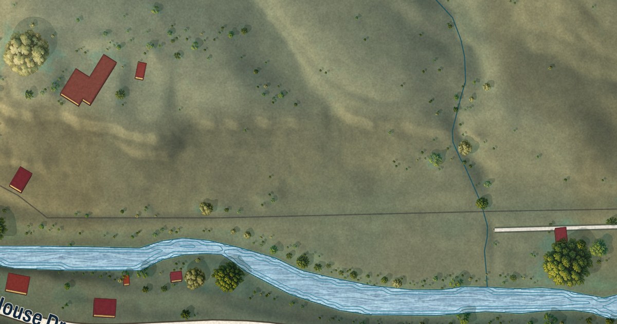
A detailed map of Wolcott, Colorado, showing every building in its true location, the roads by name, and shaded topographical relief.
Read More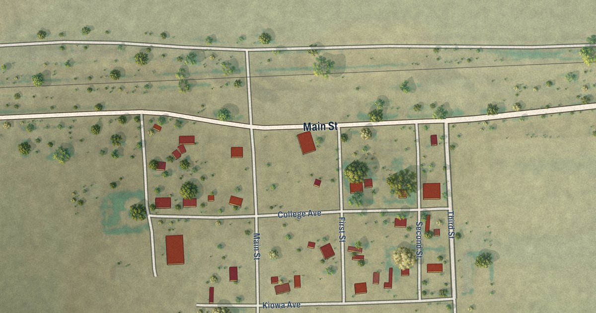
A detailed map of Towner, Colorado, showing every building in its true location, the roads by name, and shaded topographical relief.
Read More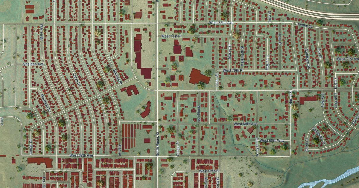
A detailed map of Twin Lakes, Colorado, showing every building in its true location, the roads by name, and shaded topographical relief.
Read More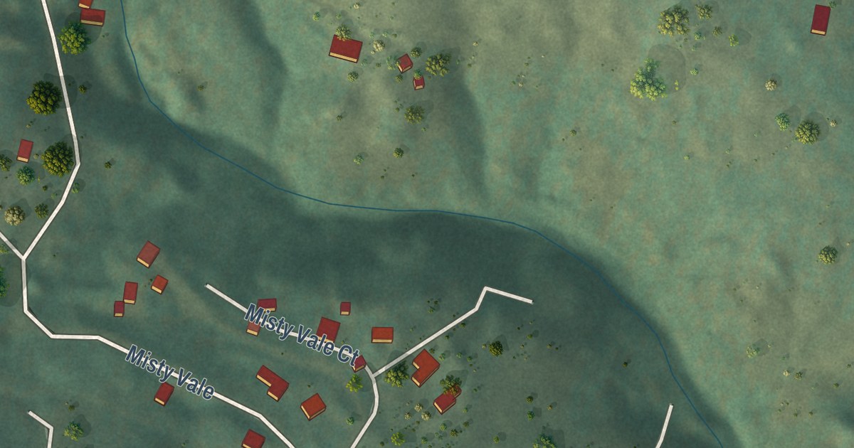
A detailed map of Sunshine, Colorado, showing every building in its true location, the roads by name, and shaded topographical relief.
Read More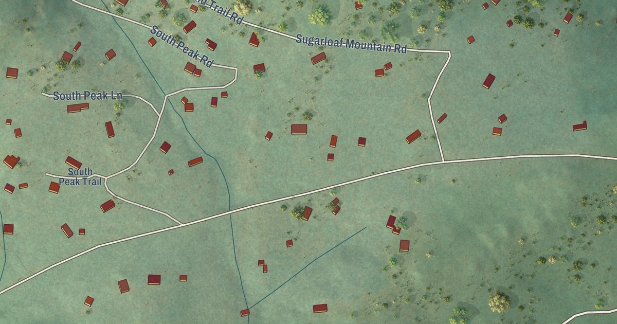
A detailed map of Sugarloaf, Colorado, showing every building in its true location, the roads by name, and shaded topographical relief.
Read More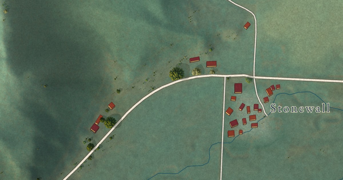
A detailed map of Stonewall Gap, Colorado, showing every building in its true location, the roads by name, and shaded topographical relief.
Read More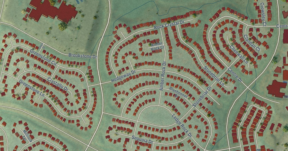
A detailed map of Stonegate, Colorado, showing every building in its true location, the roads by name, and shaded topographical relief.
Read More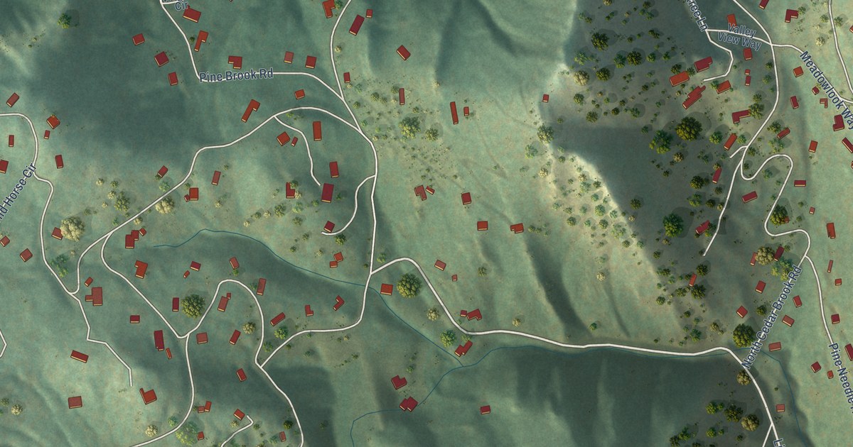
A detailed map of Pine Brook Hill, Colorado, showing every building in its true location, the roads by name, and shaded topographical relief.
Read More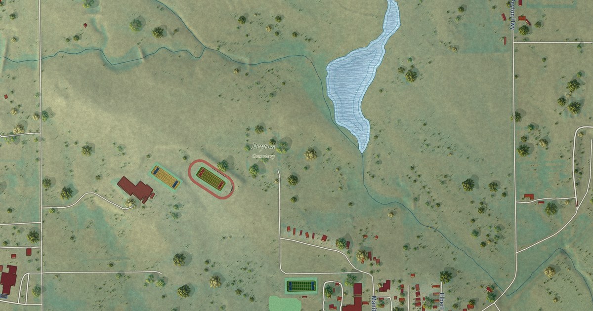
A detailed map of Peyton, Colorado, showing every building in its true location, the roads by name, and shaded topographical relief.
Read More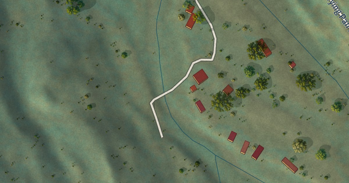
A detailed map of Norrie, Colorado, showing every building in its true location, the roads by name, and shaded topographical relief.
Read More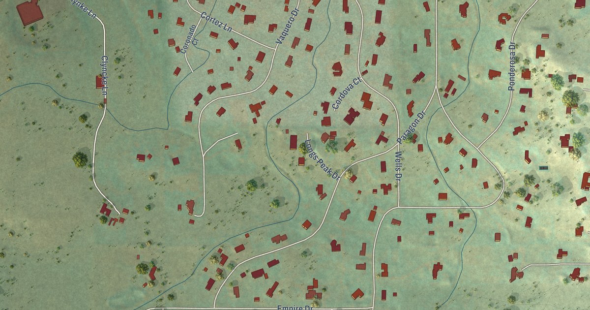
A detailed map of Paragon Estates, Colorado, showing every building in its true location, the roads by name, and shaded topographical relief.
Read More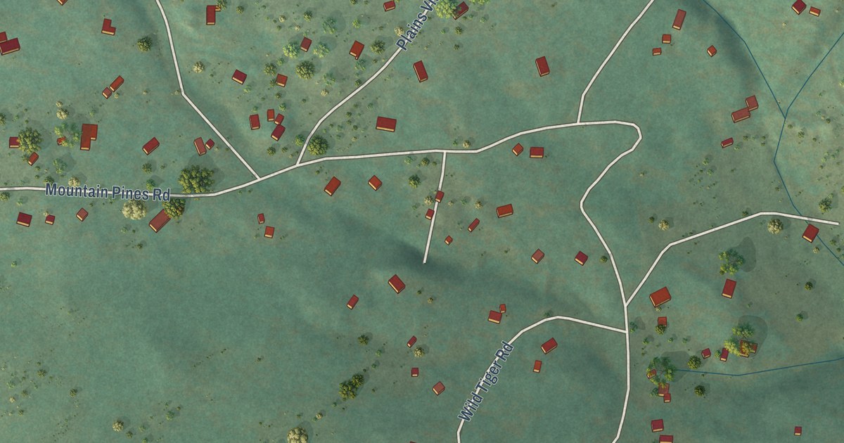
A detailed map of Mountain Meadows, Colorado, showing every building in its true location, the roads by name, and shaded topographical relief.
Read More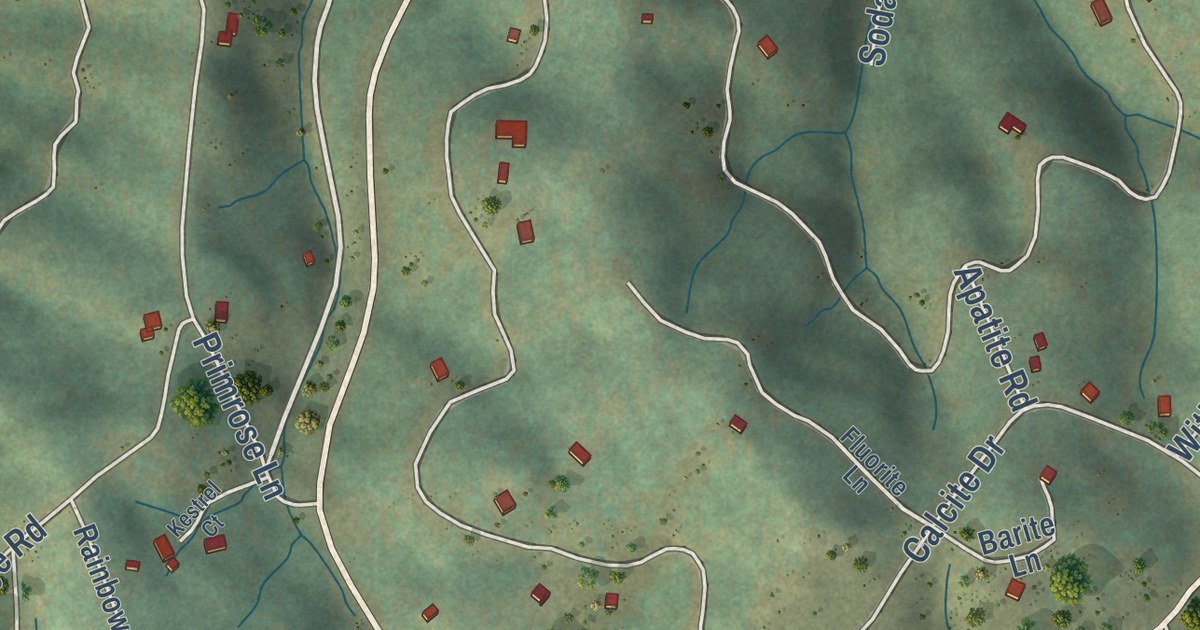
A detailed map of Midland, Colorado, showing every building in its true location, the roads by name, and shaded topographical relief.
Read More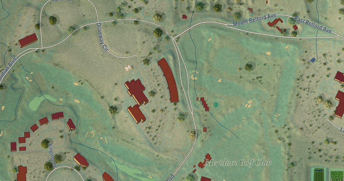
A detailed map of Meridian, Colorado, showing every building in its true location, the roads by name, and shaded topographical relief.
Read More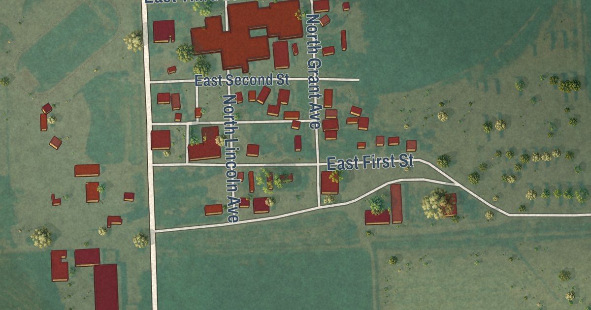
A detailed map of McClave, Colorado, showing every building in its true location, the roads by name, and shaded topographical relief.
Read More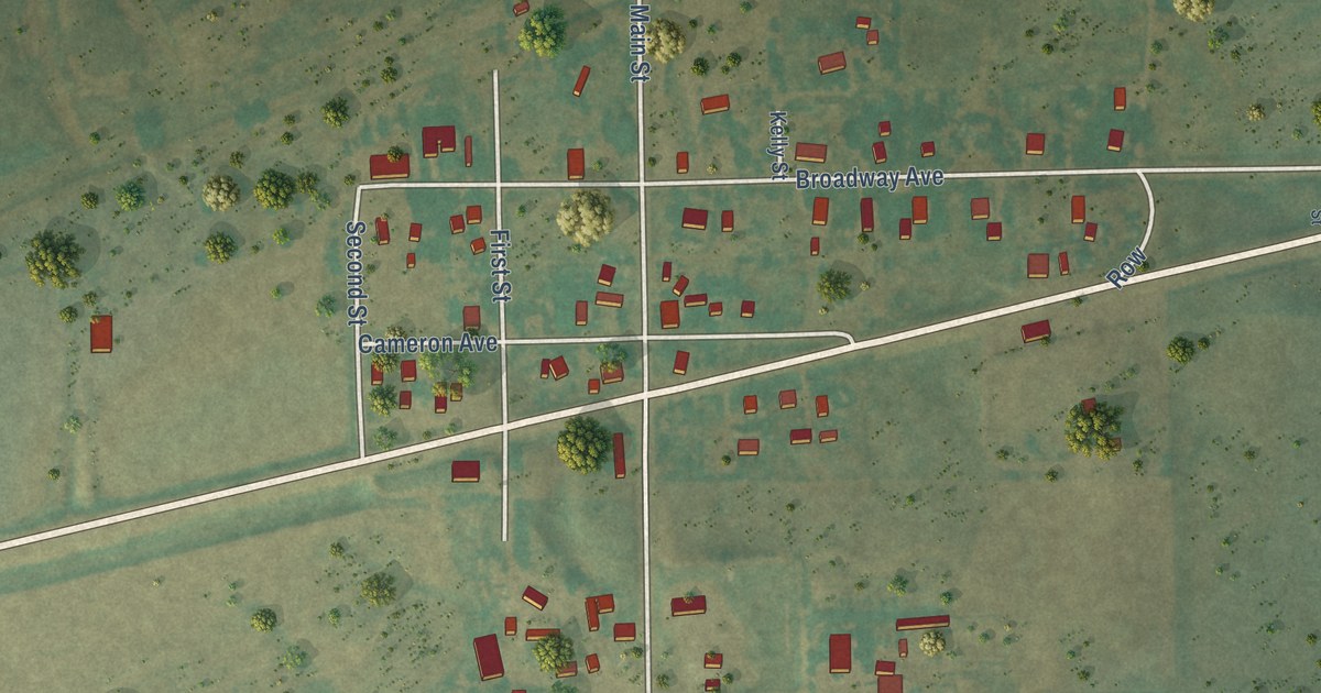
A detailed map of Matheson, Colorado, showing every building in its true location, the roads by name, and shaded topographical relief.
Read More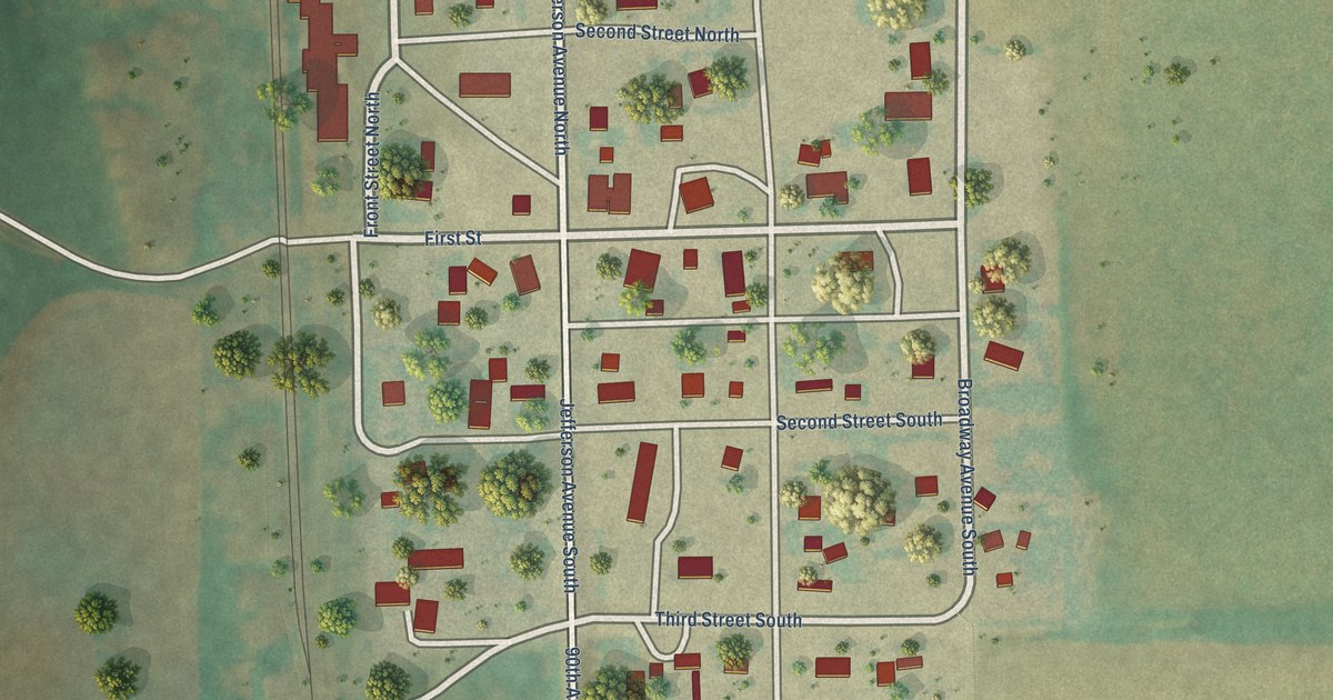
A detailed map of Ypsilanti, North Dakota, showing every building in its true location, the roads by name, and shaded topographical relief.
Read More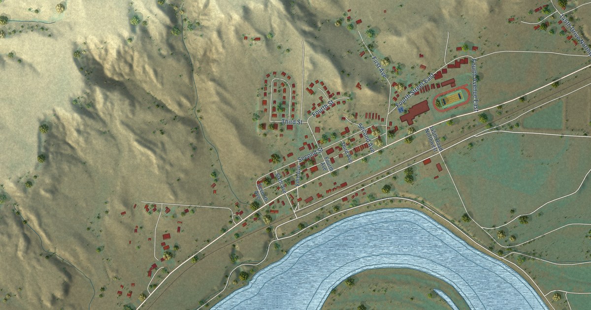
A detailed map of Trenton, North Dakota, showing every building in its true location, the roads by name, and shaded topographical relief.
Read More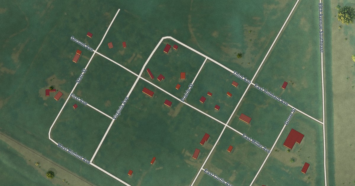
A detailed map of Sutton, North Dakota, showing every building in its true location, the roads by name, and shaded topographical relief.
Read More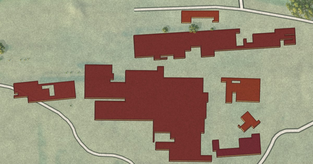
A detailed map of Spiritwood, North Dakota, showing every building in its true location, the roads by name, and shaded topographical relief.
Read More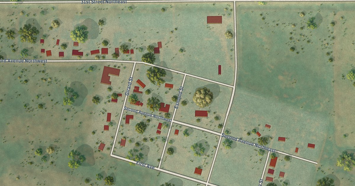
A detailed map of Selz, North Dakota, showing every building in its true location, the roads by name, and shaded topographical relief.
Read More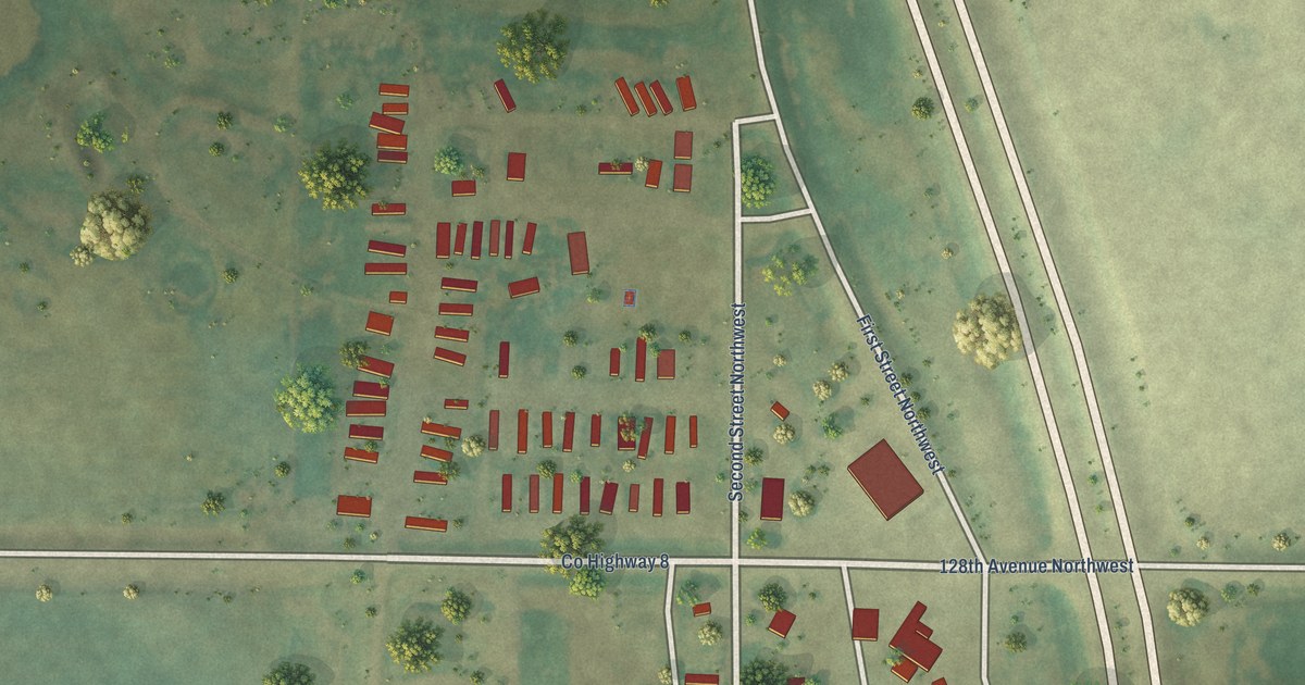
A detailed map of Ruthville, North Dakota, showing every building in its true location, the roads by name, and shaded topographical relief.
Read More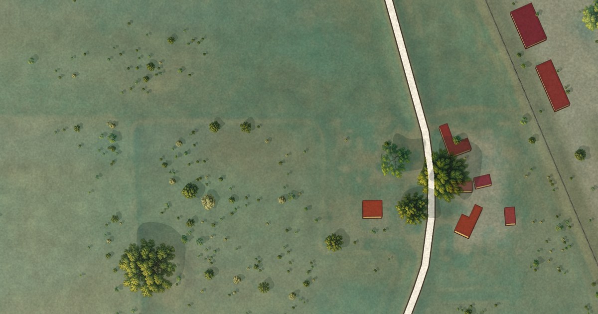
A detailed map of Lynn, Colorado, showing every building in its true location, the roads by name, and shaded topographical relief.
Read More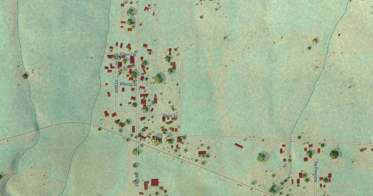
A detailed map of Lazear, Colorado, showing every building in its true location, the roads by name, and shaded topographical relief.
Read More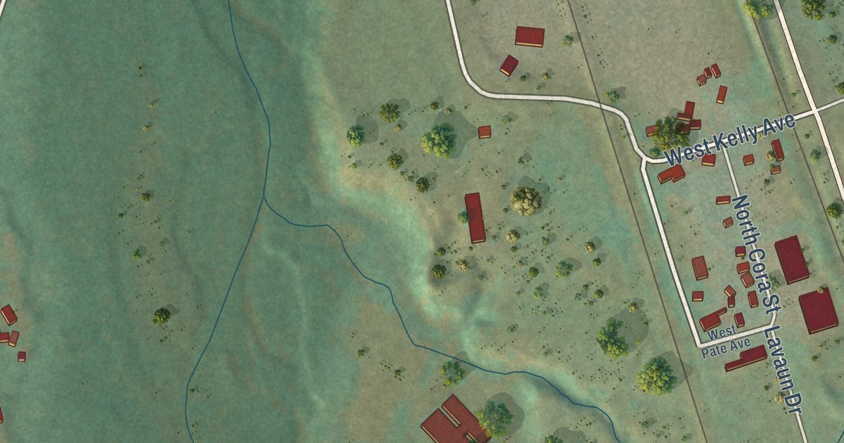
A detailed map of Louviers, Colorado, showing every building in its true location, the roads by name, and shaded topographical relief.
Read More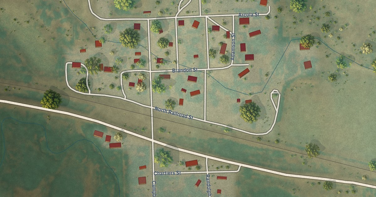
A detailed map of Laird, Colorado, showing every building in its true location, the roads by name, and shaded topographical relief.
Read More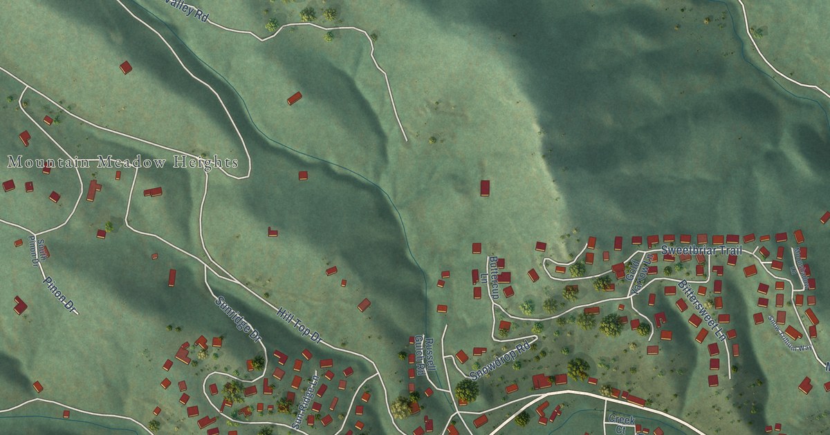
A detailed map of Kittredge, Colorado, showing every building in its true location, the roads by name, and shaded topographical relief.
Read More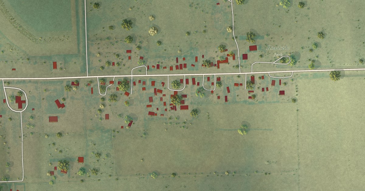
A detailed map of Joes, Colorado, showing every building in its true location, the roads by name, and shaded topographical relief.
Read More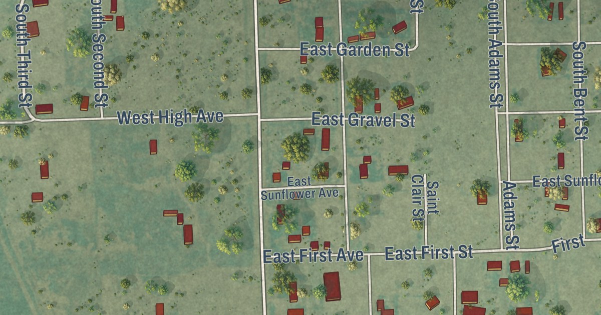
A detailed map of Hasty, Colorado, showing every building in its true location, the roads by name, and shaded topographical relief.
Read More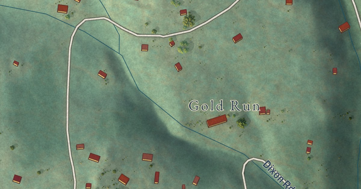
A detailed map of Gold Hill, Colorado, showing every building in its true location, the roads by name, and shaded topographical relief.
Read More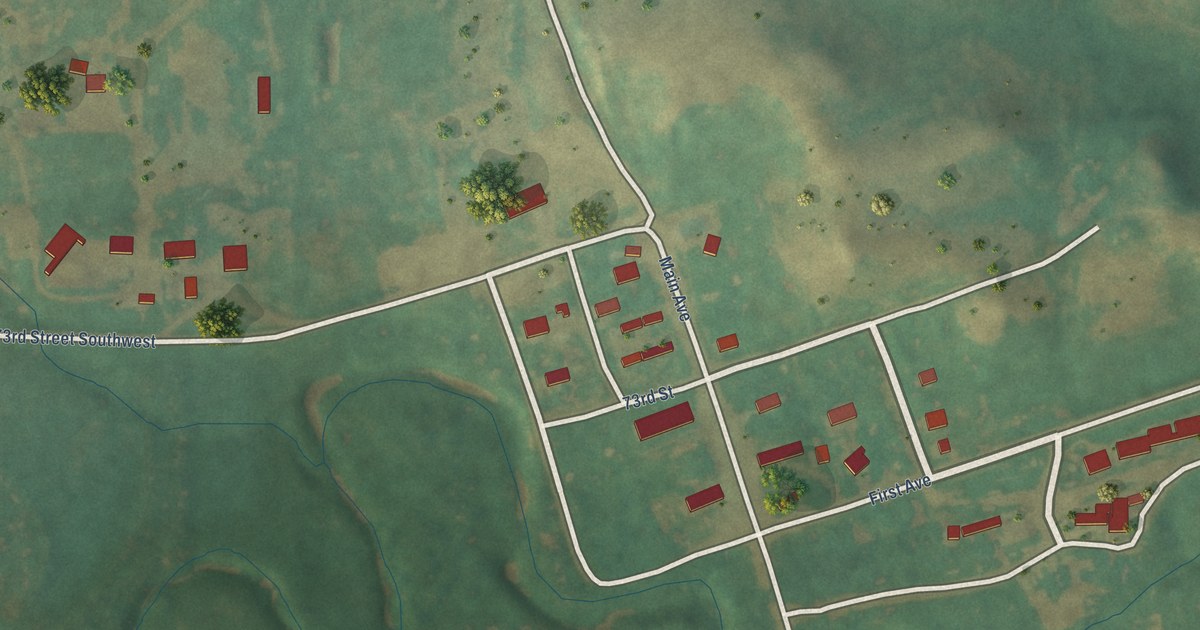
A detailed map of Raleigh, North Dakota, showing every building in its true location, the roads by name, and shaded topographical relief.
Read More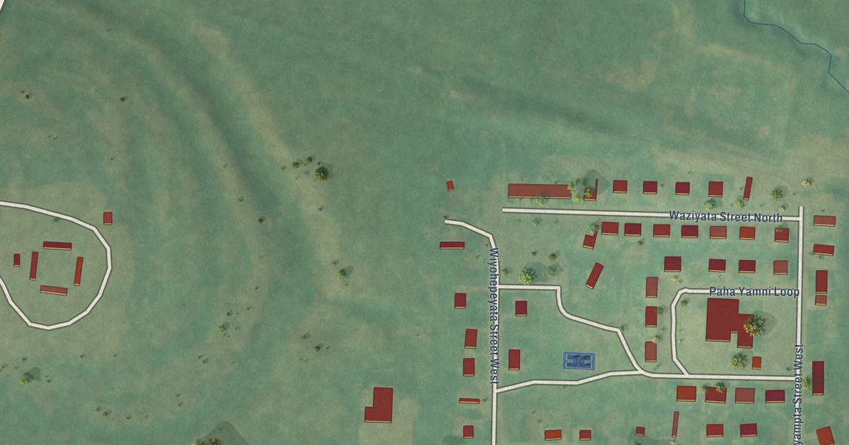
A detailed map of Porcupine, North Dakota, showing every building in its true location, the roads by name, and shaded topographical relief.
Read More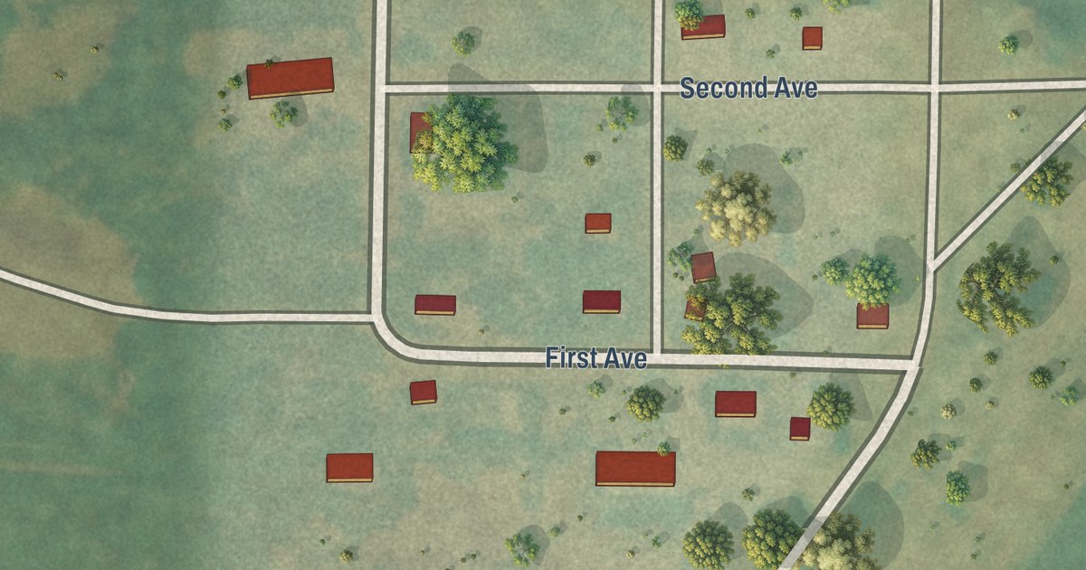
A detailed map of Orrin, North Dakota, showing every building in its true location, the roads by name, and shaded topographical relief.
Read More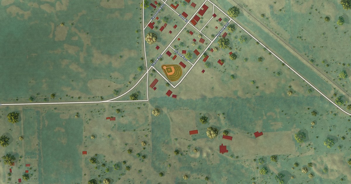
A detailed map of McLeod, North Dakota, showing every building in its true location, the roads by name, and shaded topographical relief.
Read More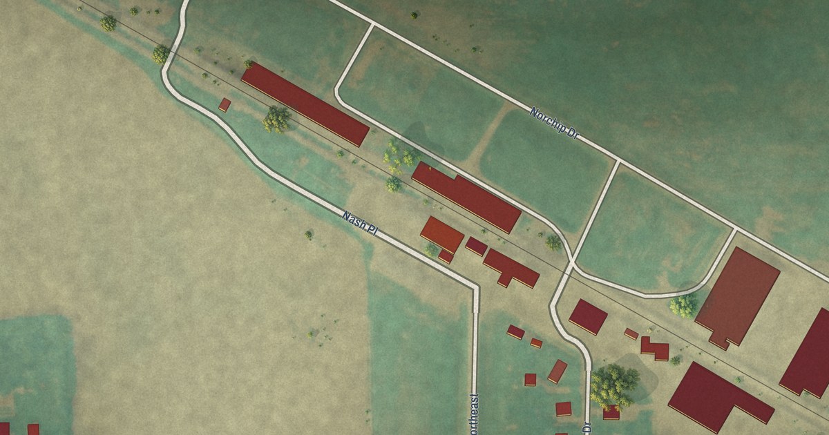
A detailed map of Nash, North Dakota, showing every building in its true location, the roads by name, and shaded topographical relief.
Read More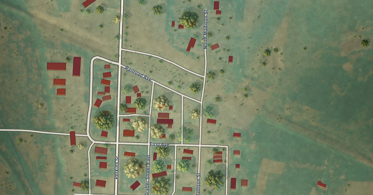
A detailed map of McGregor, North Dakota, showing every building in its true location, the roads by name, and shaded topographical relief.
Read More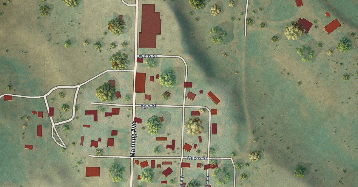
A detailed map of Manning, North Dakota, showing every building in its true location, the roads by name, and shaded topographical relief.
Read More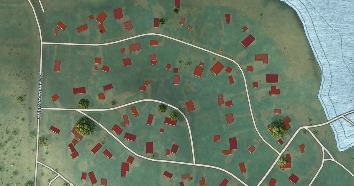
A detailed map of Long Creek, North Dakota, showing every building in its true location, the roads by name, and shaded topographical relief.
Read More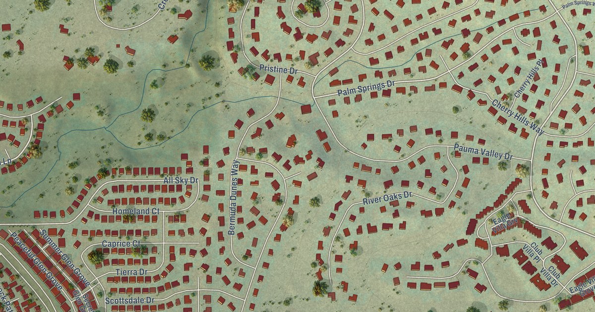
A detailed map of Gleneagle, Colorado, showing every building in its true location, the roads by name, and shaded topographical relief.
Read More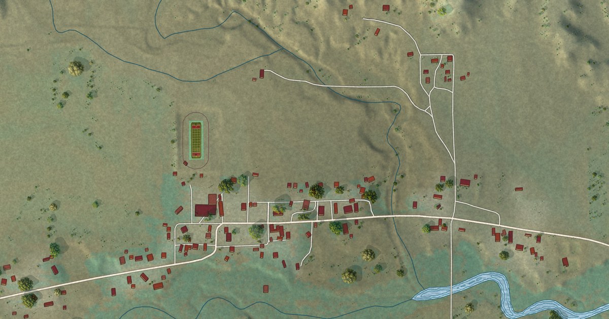
A detailed map of Gardner, Colorado, showing every building in its true location, the roads by name, and shaded topographical relief.
Read More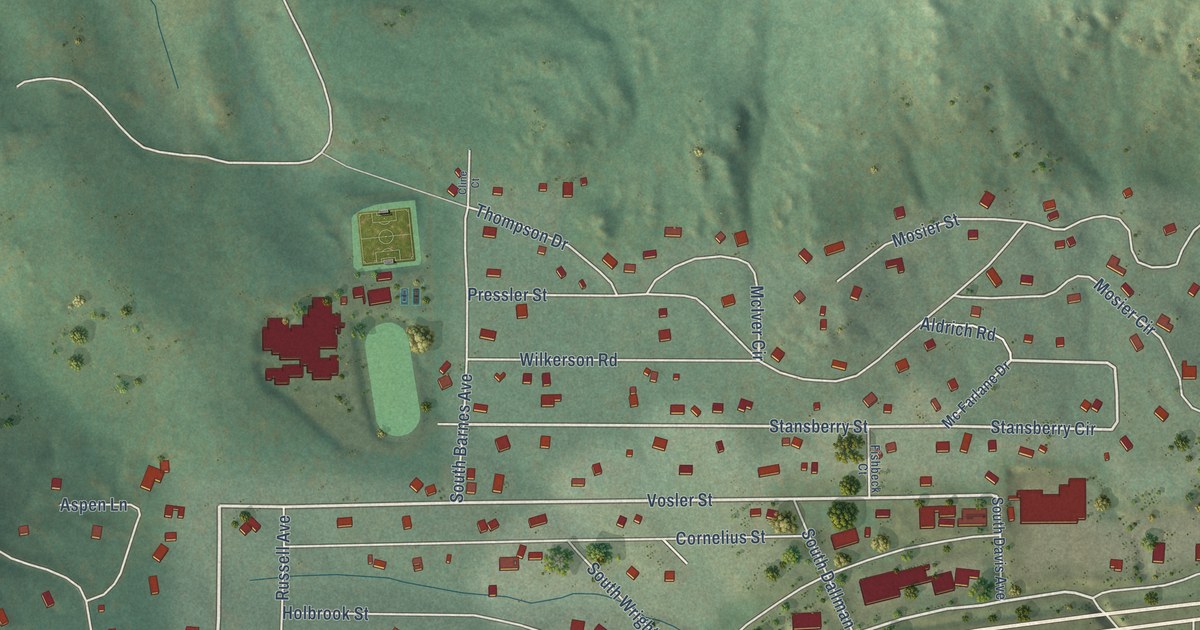
A detailed map of Aspen Park, Colorado, showing every building in its true location, the roads by name, and shaded topographical relief.
Read More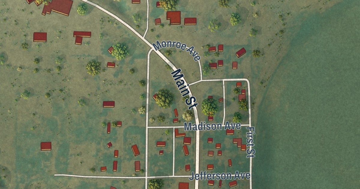
A detailed map of Cope, Colorado, showing every building in its true location, the roads by name, and shaded topographical relief.
Read More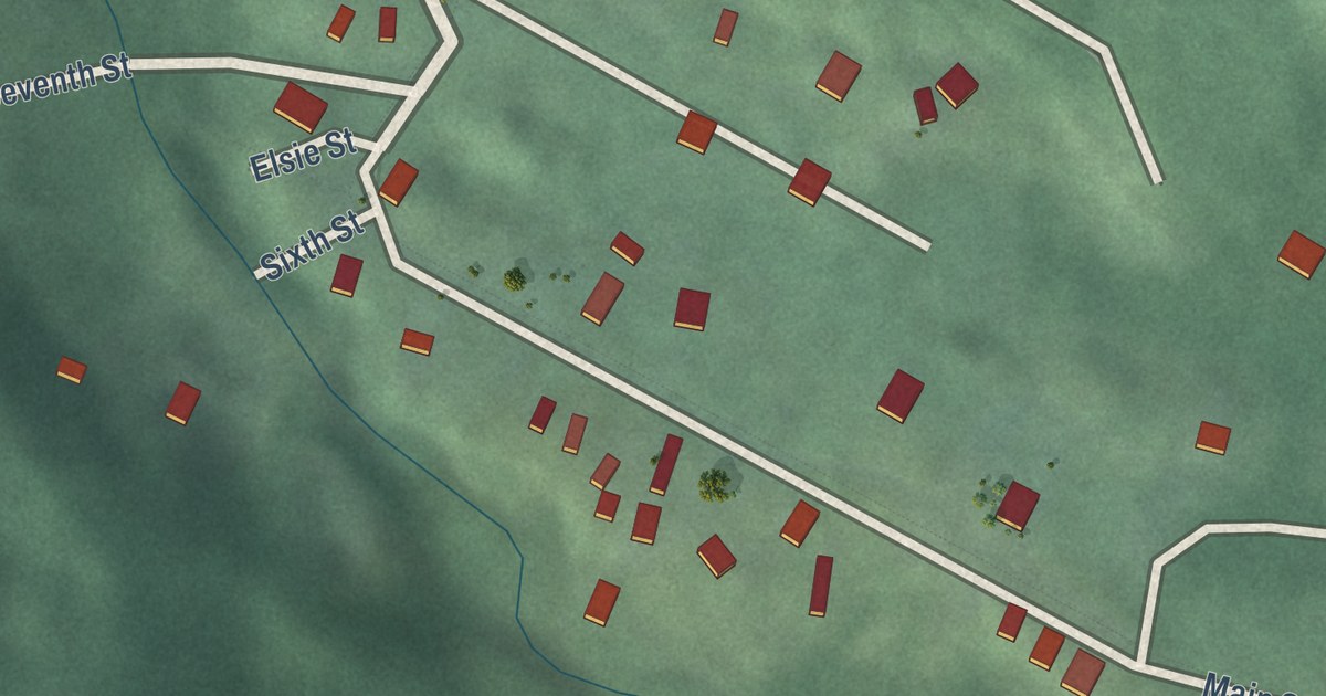
A detailed map of Fulford, Colorado, showing every building in its true location, the roads by name, and shaded topographical relief.
Read More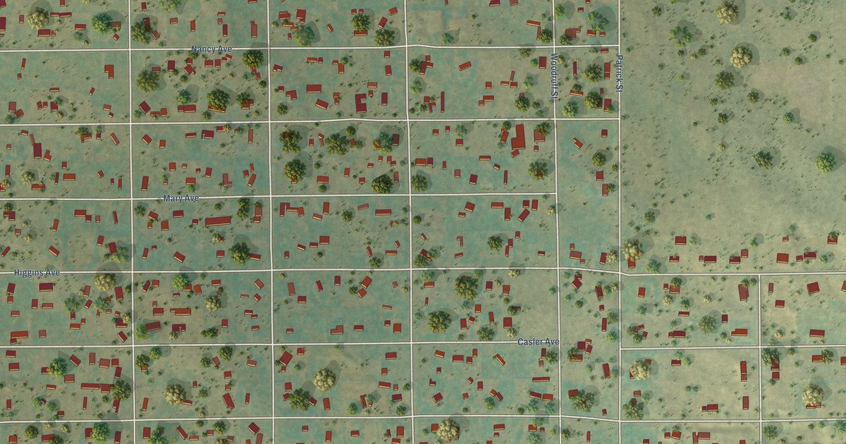
A detailed map of Aristocrat Ranchettes, Colorado, showing every building in its true location, the roads by name, and shaded topographical relief.
Read More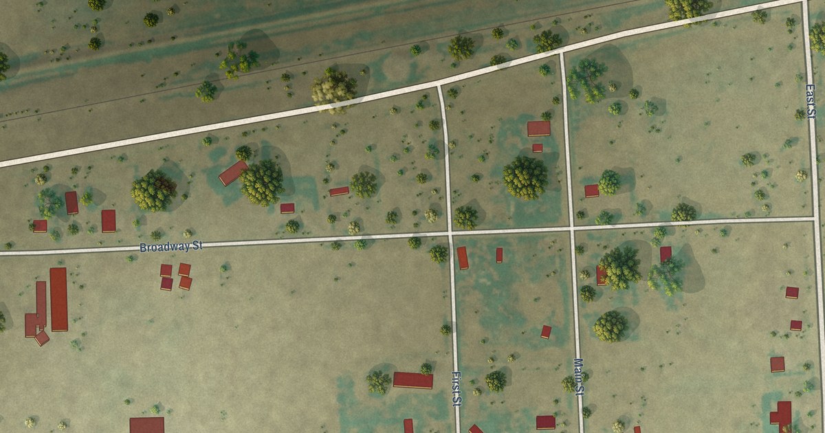
A detailed map of Brandon, Colorado, showing every building in its true location, the roads by name, and shaded topographical relief.
Read More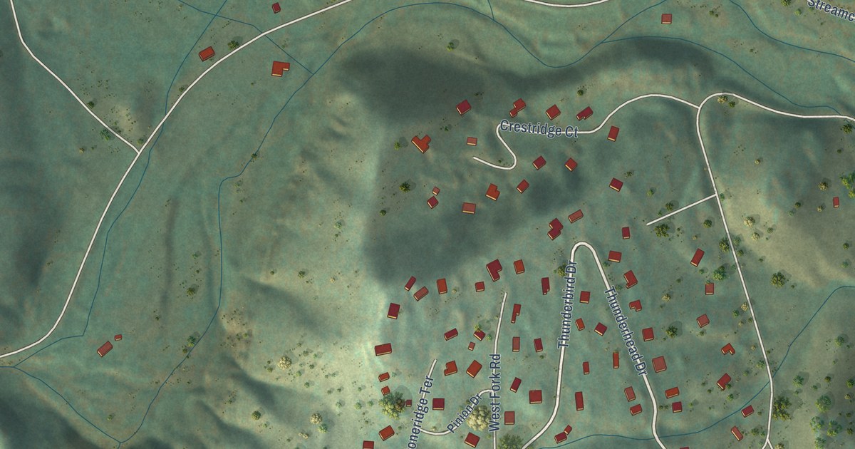
A detailed map of Altona, Colorado, showing every building in its true location, the roads by name, and shaded topographical relief.
Read More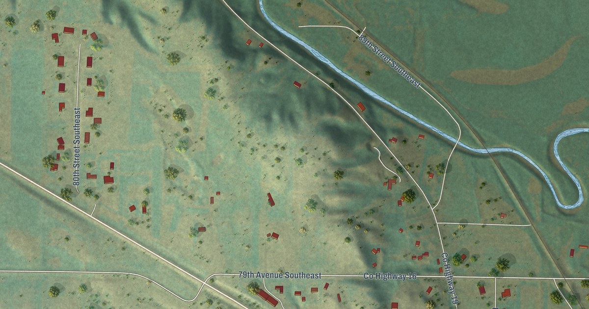
A detailed map of Logan, North Dakota, showing every building in its true location, the roads by name, and shaded topographical relief.
Read More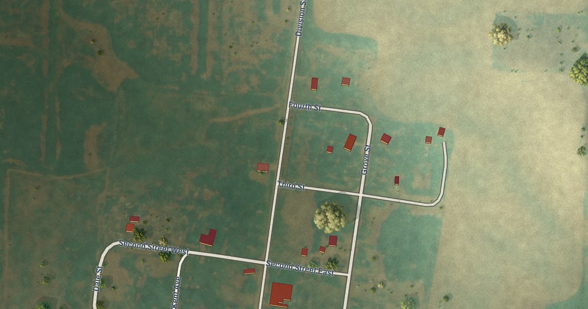
A detailed map of Larson, North Dakota, showing every building in its true location, the roads by name, and shaded topographical relief.
Read More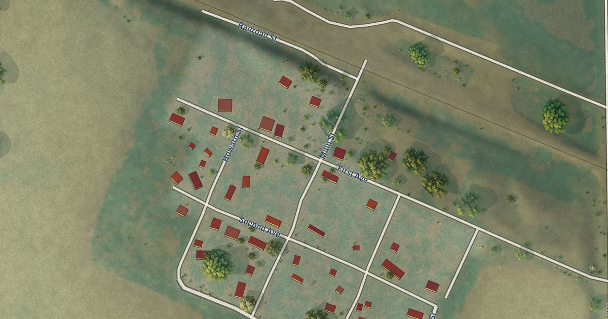
A detailed map of Heimdal, North Dakota, showing every building in its true location, the roads by name, and shaded topographical relief.
Read More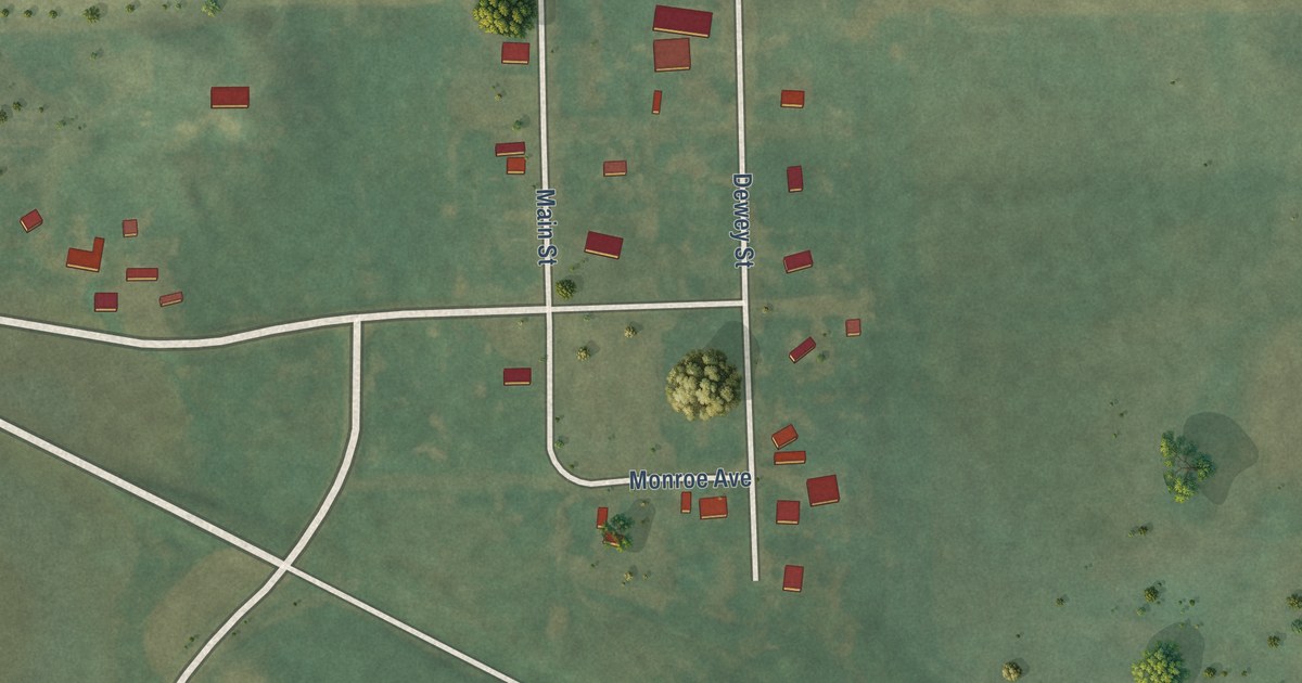
A detailed map of Jessie, North Dakota, showing every building in its true location, the roads by name, and shaded topographical relief.
Read More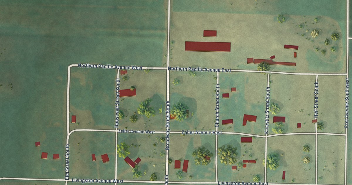
A detailed map of Heil, North Dakota, showing every building in its true location, the roads by name, and shaded topographical relief.
Read More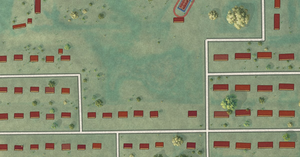
A detailed map of Green Acres, North Dakota, showing every building in its true location, the roads by name, and shaded topographical relief.
Read More















