Detailed Map of Four Bears Village, North Dakota
A detailed map of Four Bears Village, North Dakota, showing every building in its true location, the roads by name, and shaded topographical relief.
Read More
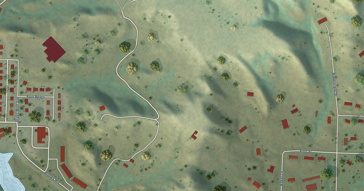
A detailed map of Four Bears Village, North Dakota, showing every building in its true location, the roads by name, and shaded topographical relief.
Read More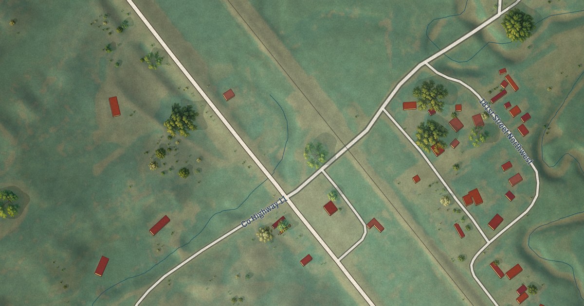
A detailed map of Foxholm, North Dakota, showing every building in its true location, the roads by name, and shaded topographical relief.
Read More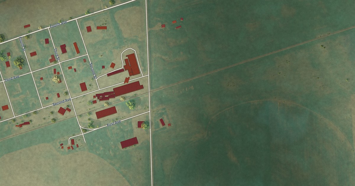
A detailed map of Englevale, North Dakota, showing every building in its true location, the roads by name, and shaded topographical relief.
Read More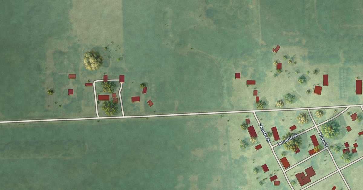
A detailed map of Embden, North Dakota, showing every building in its true location, the roads by name, and shaded topographical relief.
Read More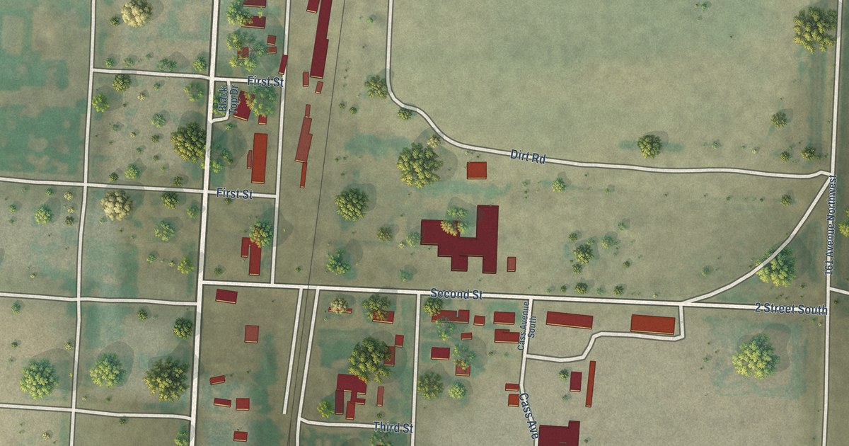
A detailed map of East Fairview, North Dakota, showing every building in its true location, the roads by name, and shaded topographical relief.
Read More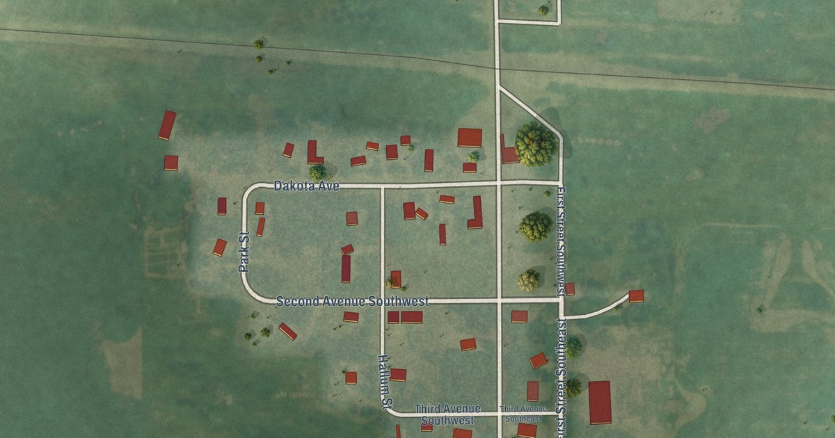
A detailed map of Driscoll, North Dakota, showing every building in its true location, the roads by name, and shaded topographical relief.
Read More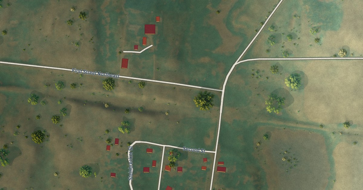
A detailed map of Denhoff, North Dakota, showing every building in its true location, the roads by name, and shaded topographical relief.
Read More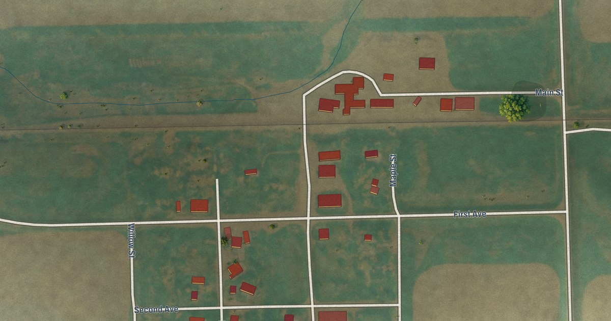
A detailed map of Dahlen, North Dakota, showing every building in its true location, the roads by name, and shaded topographical relief.
Read More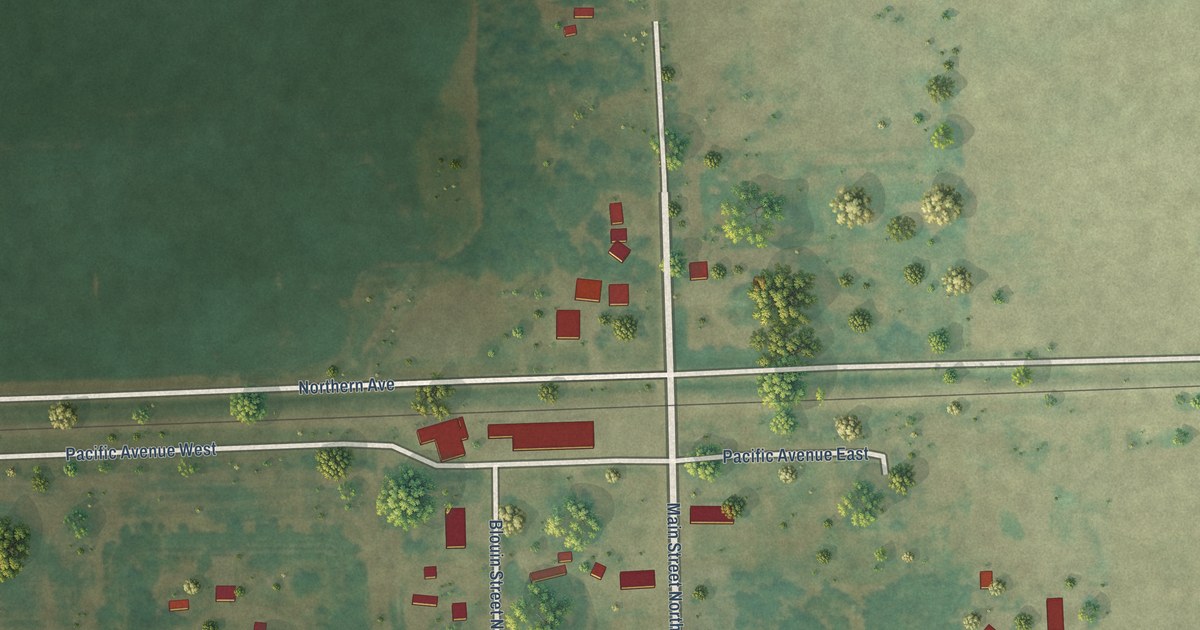
A detailed map of De Lamere, North Dakota, showing every building in its true location, the roads by name, and shaded topographical relief.
Read More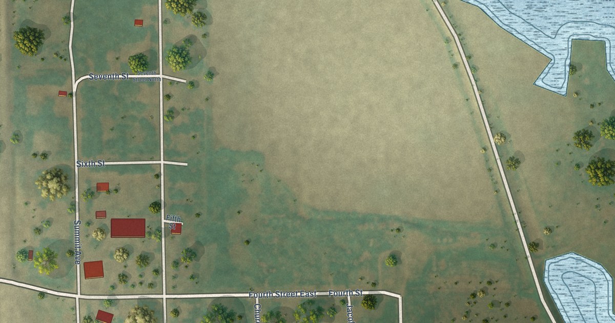
A detailed map of Churchs Ferry, North Dakota, showing every building in its true location, the roads by name, and shaded topographical relief.
Read More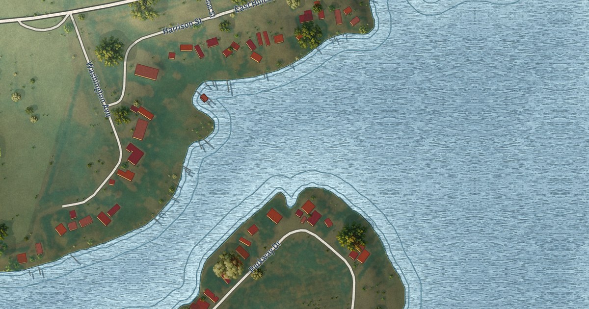
A detailed map of Blacktail, North Dakota, showing every building in its true location, the roads by name, and shaded topographical relief.
Read More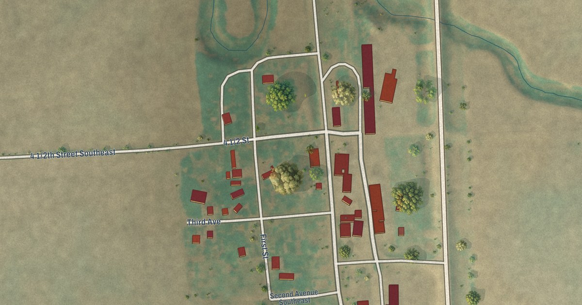
A detailed map of Blanchard, North Dakota, showing every building in its true location, the roads by name, and shaded topographical relief.
Read More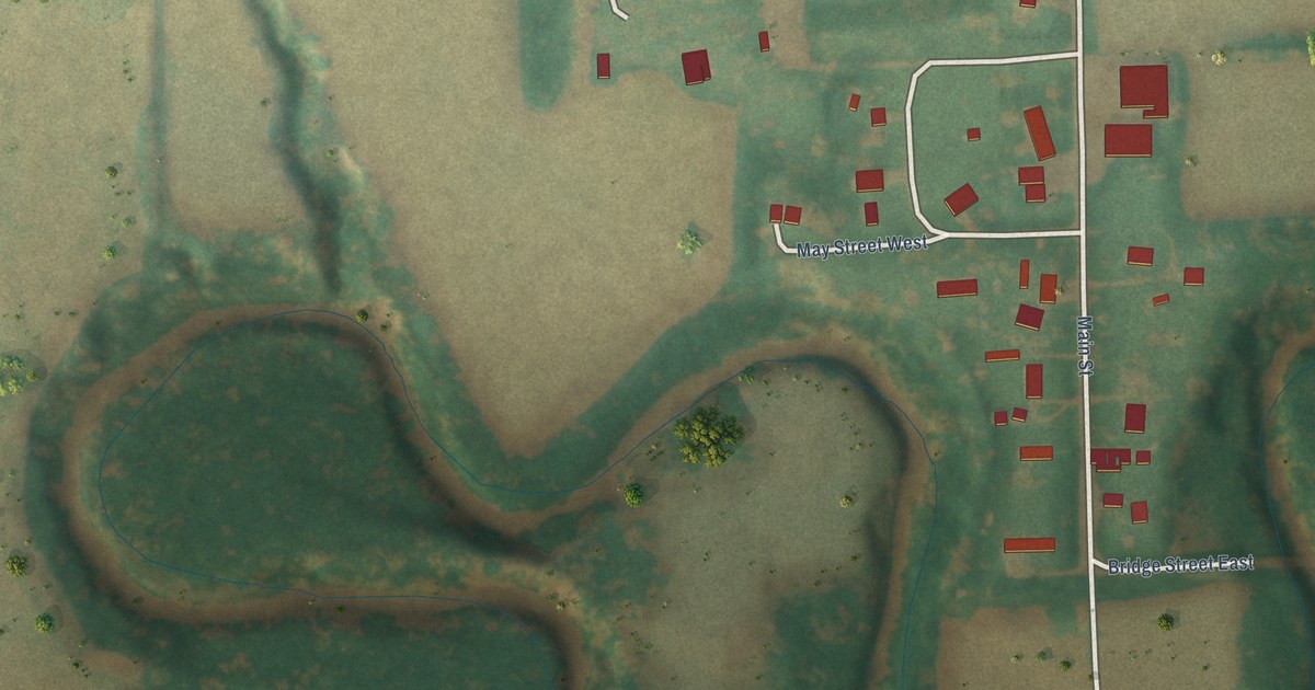
A detailed map of Caledonia, North Dakota, showing every building in its true location, the roads by name, and shaded topographical relief.
Read More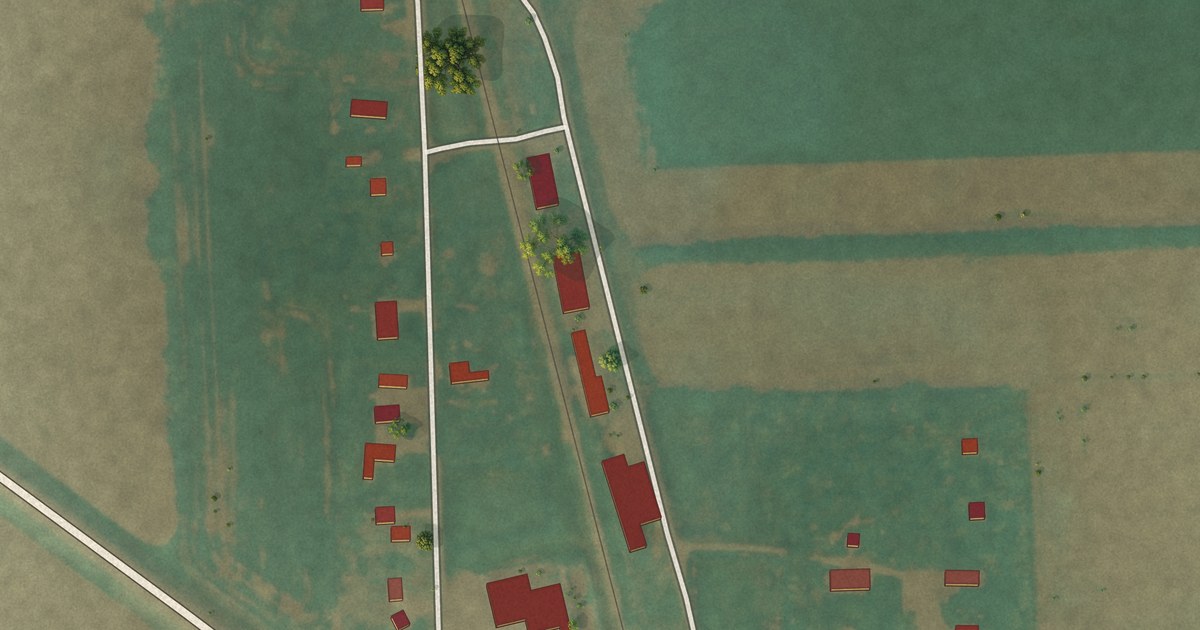
A detailed map of Auburn, North Dakota, showing every building in its true location, the roads by name, and shaded topographical relief.
Read More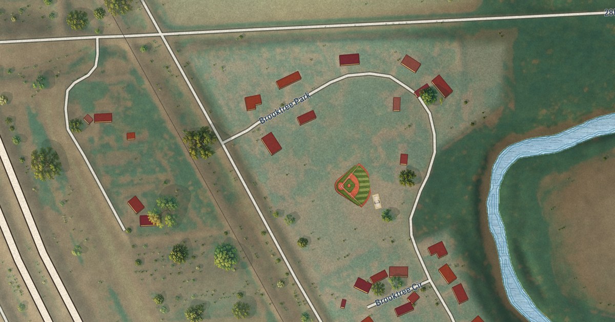
A detailed map of Brooktree Park, North Dakota, showing every building in its true location, the roads by name, and shaded topographical relief.
Read More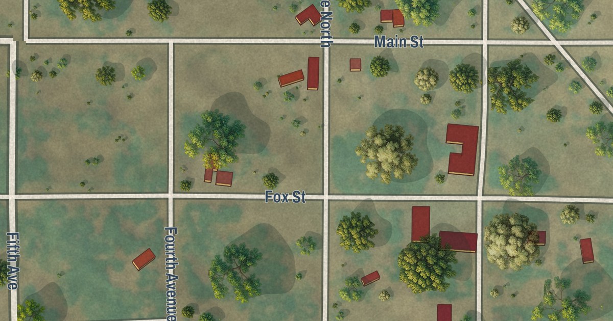
A detailed map of Bantry, North Dakota, showing every building in its true location, the roads by name, and shaded topographical relief.
Read More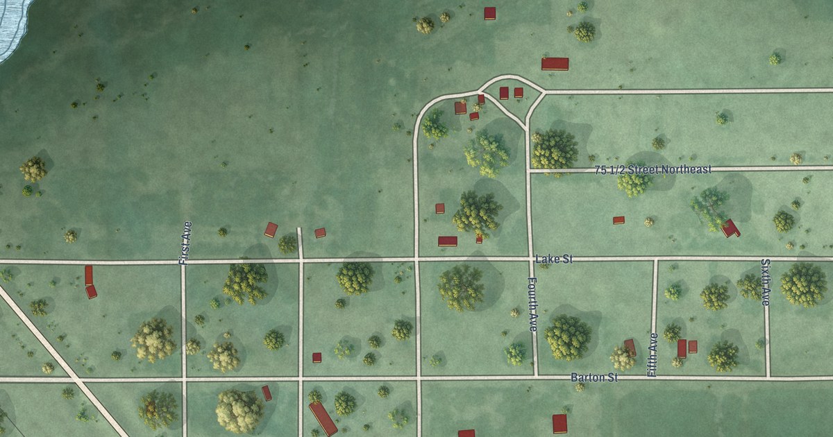
A detailed map of Barton, North Dakota, showing every building in its true location, the roads by name, and shaded topographical relief.
Read More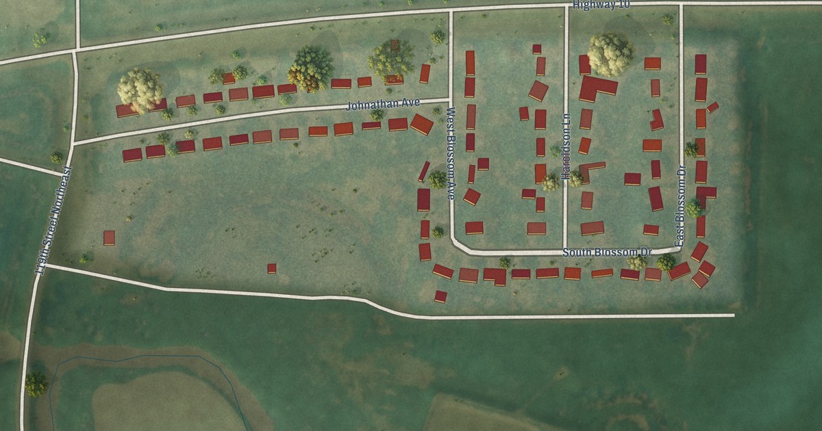
A detailed map of Apple Valley, North Dakota, showing every building in its true location, the roads by name, and shaded topographical relief.
Read More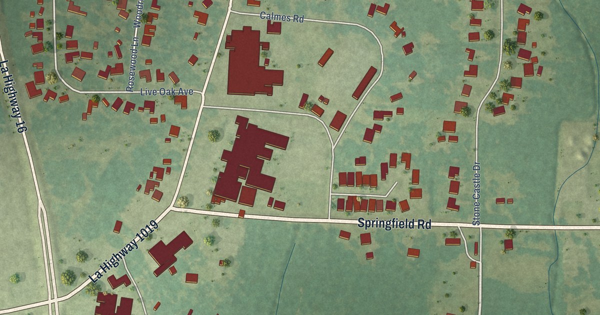
A detailed map of Watson, Louisiana, showing every building in its true location, the roads by name, and shaded topographical relief.
Read More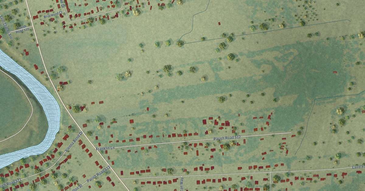
A detailed map of Vienna Bend, Louisiana, showing every building in its true location, the roads by name, and shaded topographical relief.
Read More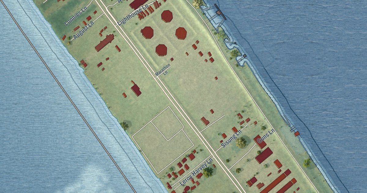
A detailed map of Venice, Louisiana, showing every building in its true location, the roads by name, and shaded topographical relief.
Read More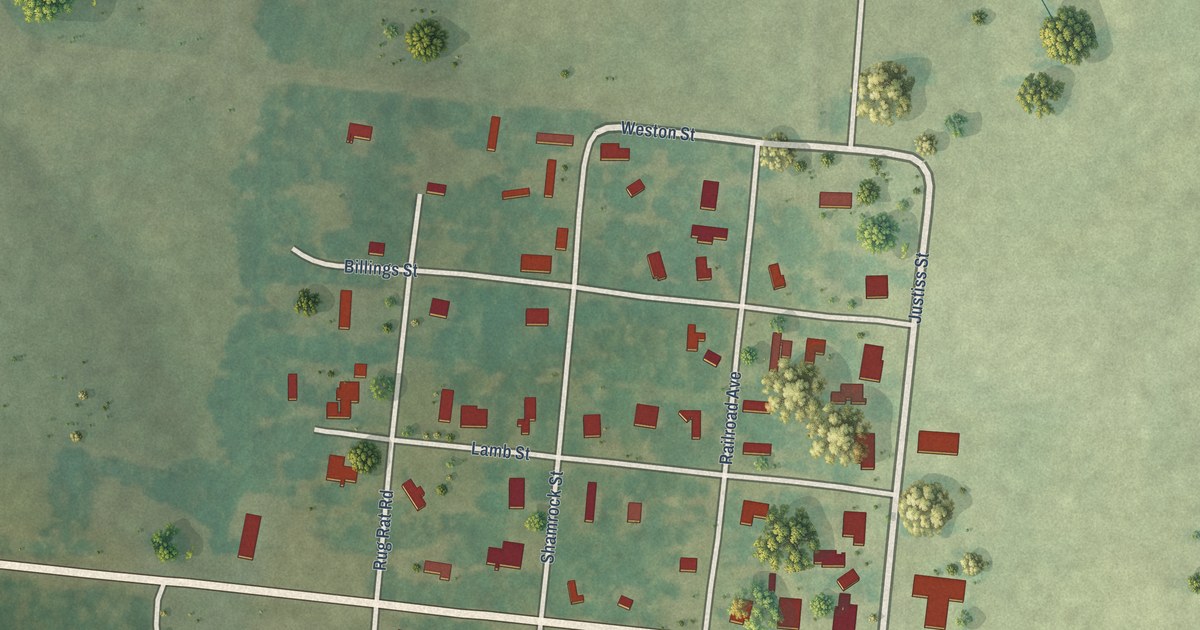
A detailed map of Trout, Louisiana, showing every building in its true location, the roads by name, and shaded topographical relief.
Read More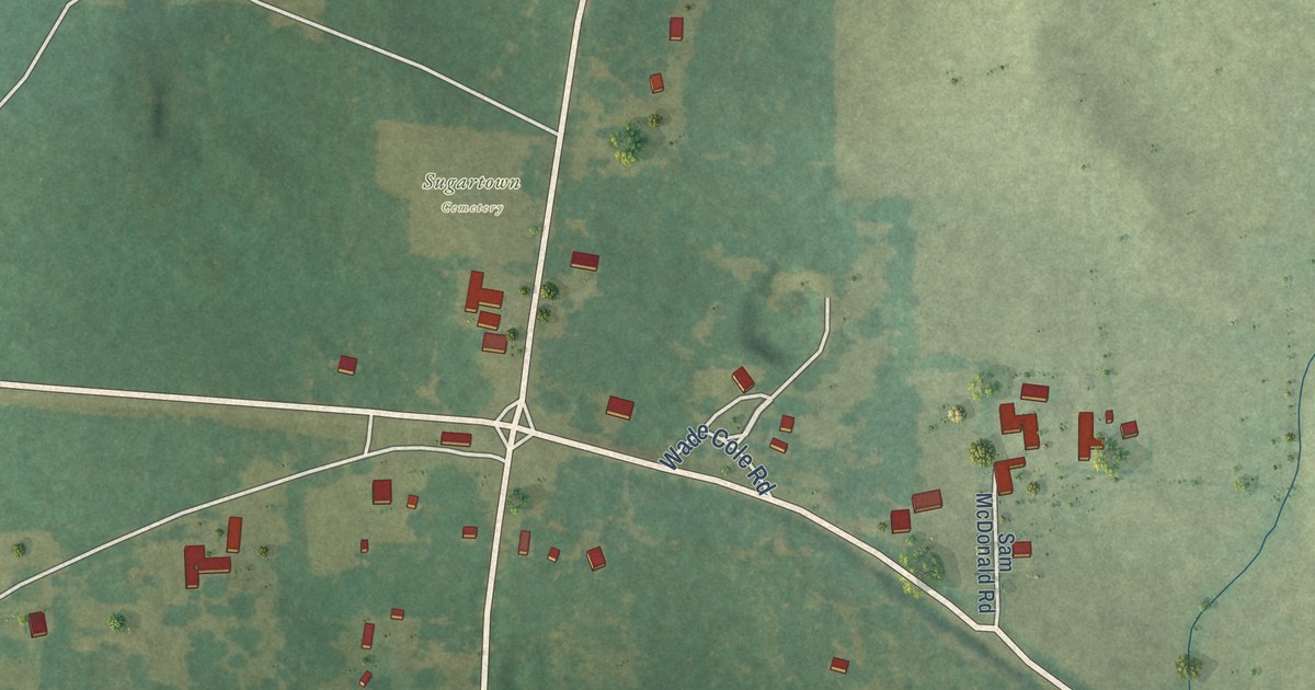
A detailed map of Sugartown, Louisiana, showing every building in its true location, the roads by name, and shaded topographical relief.
Read More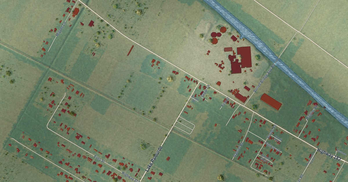
A detailed map of Sorrel, Louisiana, showing every building in its true location, the roads by name, and shaded topographical relief.
Read More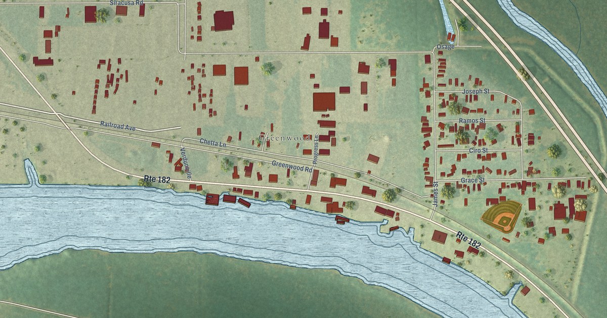
A detailed map of Siracusaville, Louisiana, showing every building in its true location, the roads by name, and shaded topographical relief.
Read More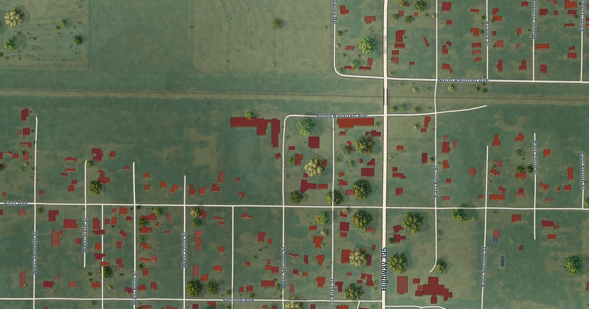
A detailed map of Roanoke, Louisiana, showing every building in its true location, the roads by name, and shaded topographical relief.
Read More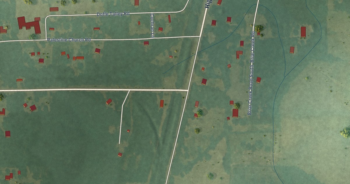
A detailed map of Rio, Louisiana, showing every building in its true location, the roads by name, and shaded topographical relief.
Read More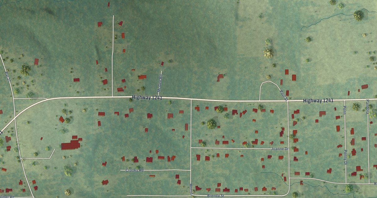
A detailed map of Prospect, Louisiana, showing every building in its true location, the roads by name, and shaded topographical relief.
Read More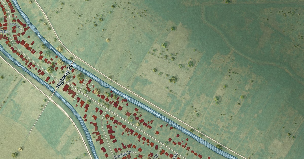
A detailed map of Presquille, Louisiana, showing every building in its true location, the roads by name, and shaded topographical relief.
Read More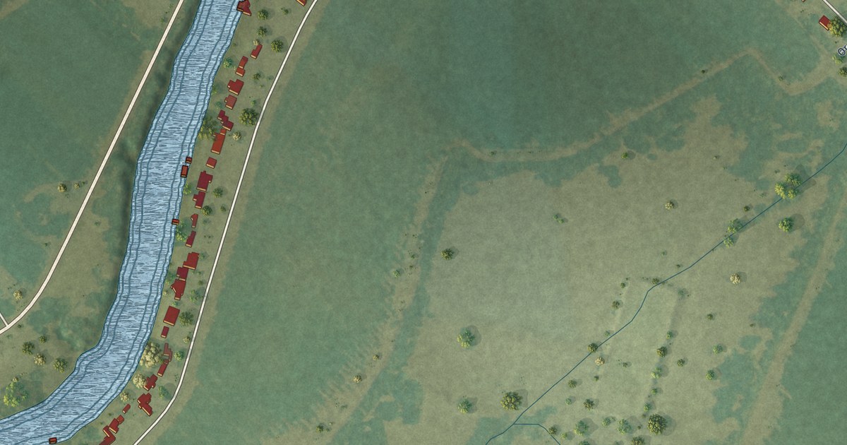
A detailed map of Point Place, Louisiana, showing every building in its true location, the roads by name, and shaded topographical relief.
Read More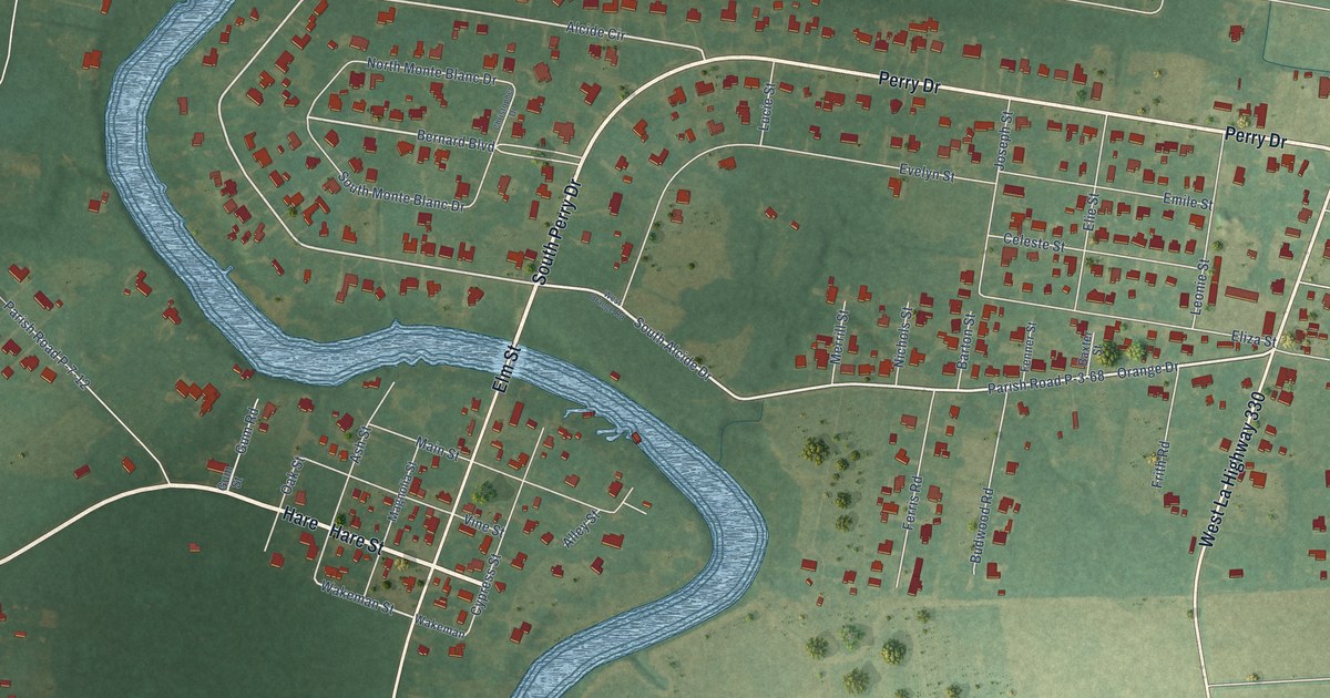
A detailed map of Perry, Louisiana, showing every building in its true location, the roads by name, and shaded topographical relief.
Read More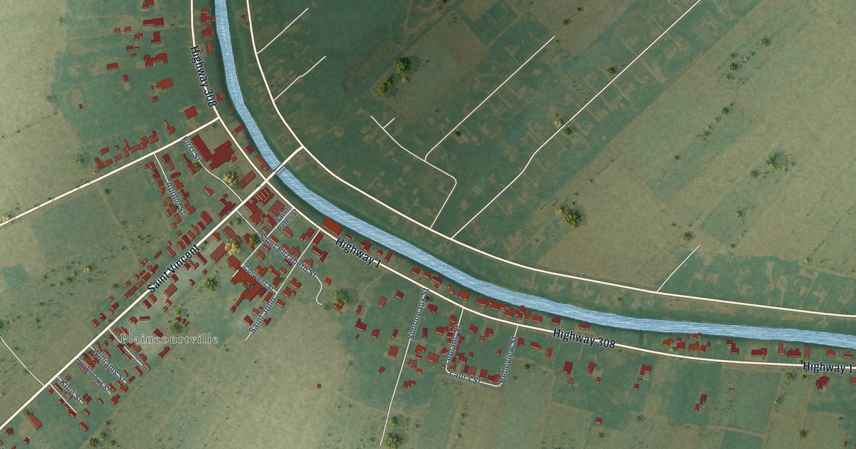
A detailed map of Paincourtville, Louisiana, showing every building in its true location, the roads by name, and shaded topographical relief.
Read More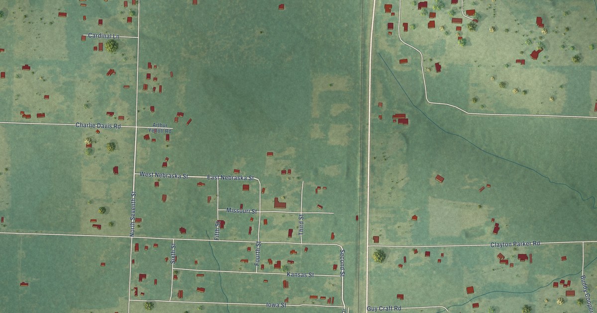
A detailed map of Oretta, Louisiana, showing every building in its true location, the roads by name, and shaded topographical relief.
Read More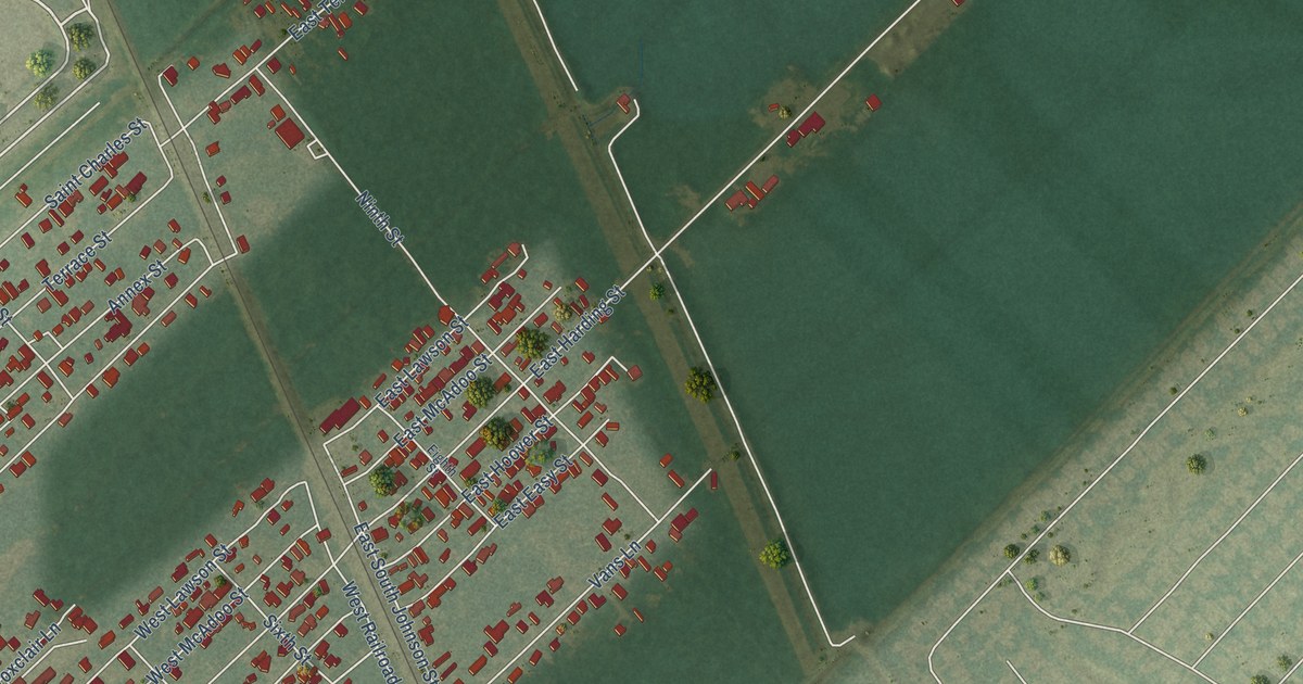
A detailed map of New Sarpy, Louisiana, showing every building in its true location, the roads by name, and shaded topographical relief.
Read More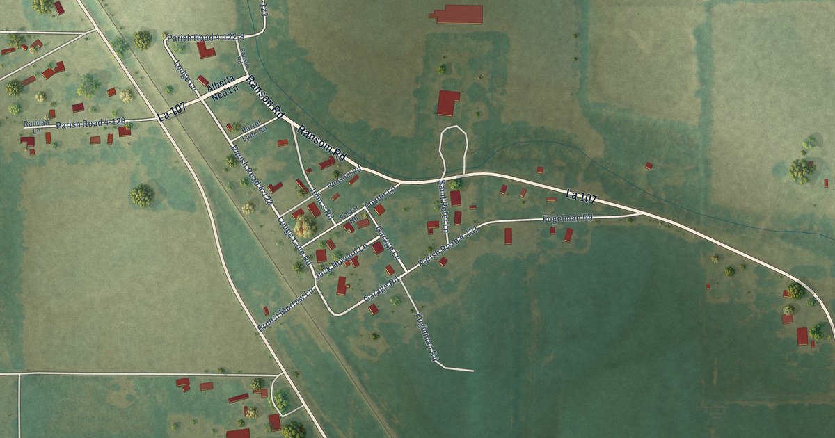
A detailed map of Morrow, Louisiana, showing every building in its true location, the roads by name, and shaded topographical relief.
Read More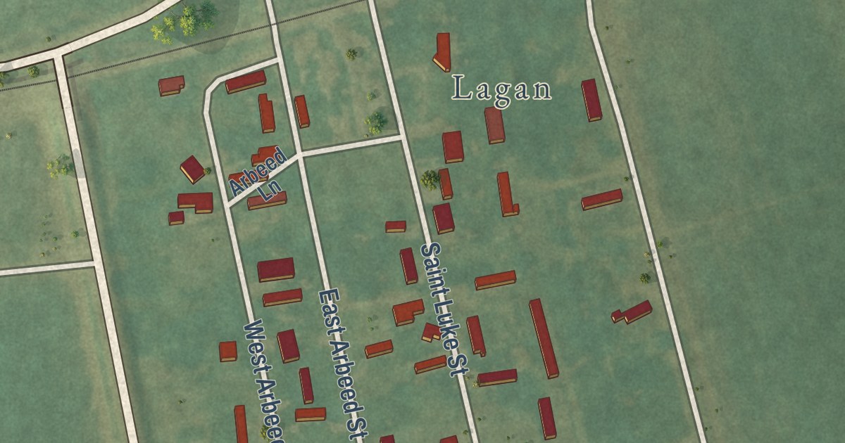
A detailed map of Moonshine, Louisiana, showing every building in its true location, the roads by name, and shaded topographical relief.
Read More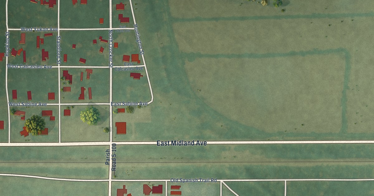
A detailed map of Midland, Louisiana, showing every building in its true location, the roads by name, and shaded topographical relief.
Read More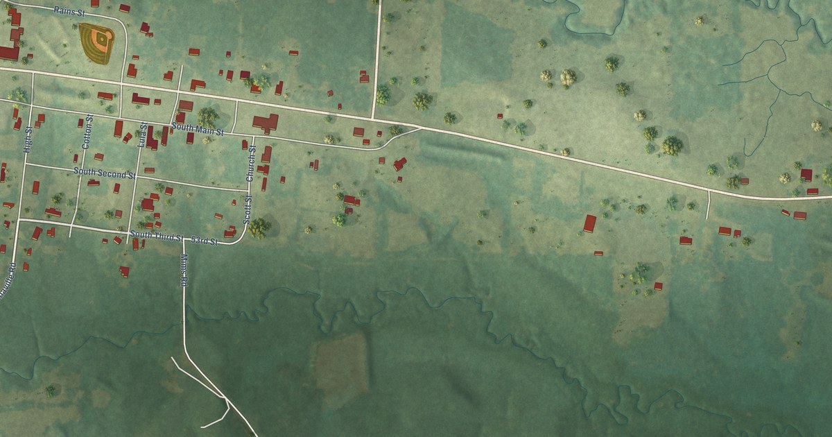
A detailed map of Marthaville, Louisiana, showing every building in its true location, the roads by name, and shaded topographical relief.
Read More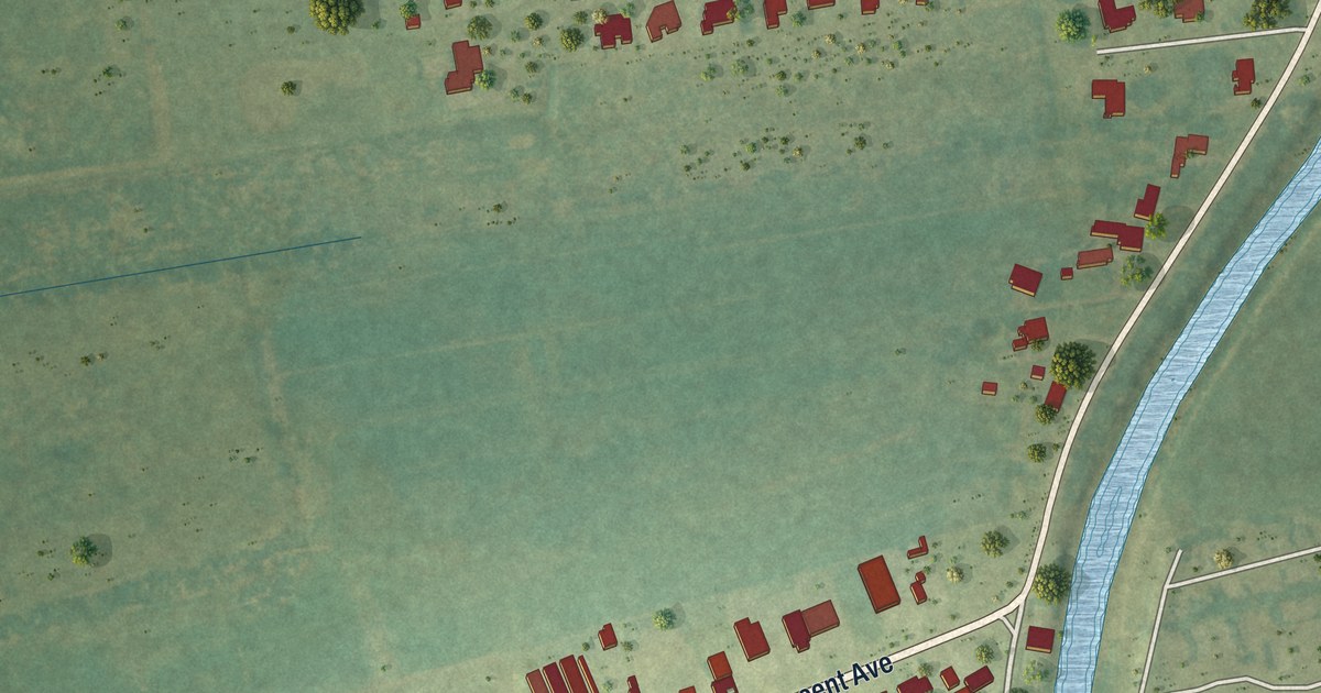
A detailed map of Lockport Heights, Louisiana, showing every building in its true location, the roads by name, and shaded topographical relief.
Read More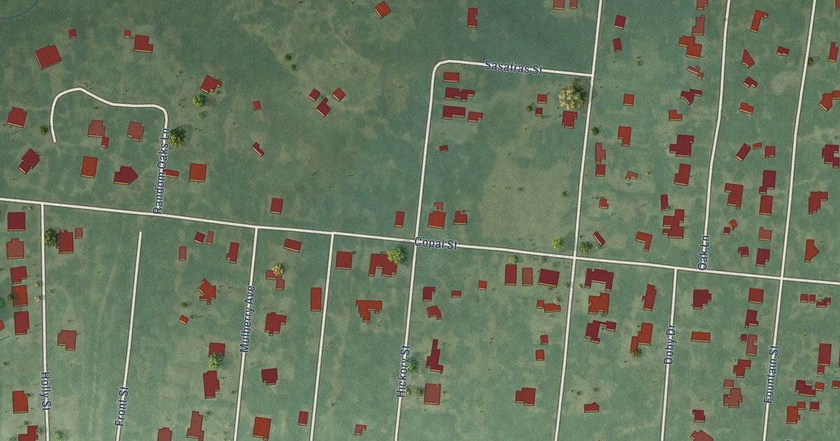
A detailed map of Lewisburg, Louisiana, showing every building in its true location, the roads by name, and shaded topographical relief.
Read More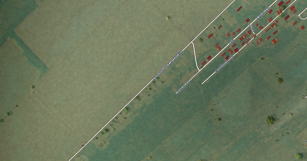
A detailed map of Lemannville, Louisiana, showing every building in its true location, the roads by name, and shaded topographical relief.
Read More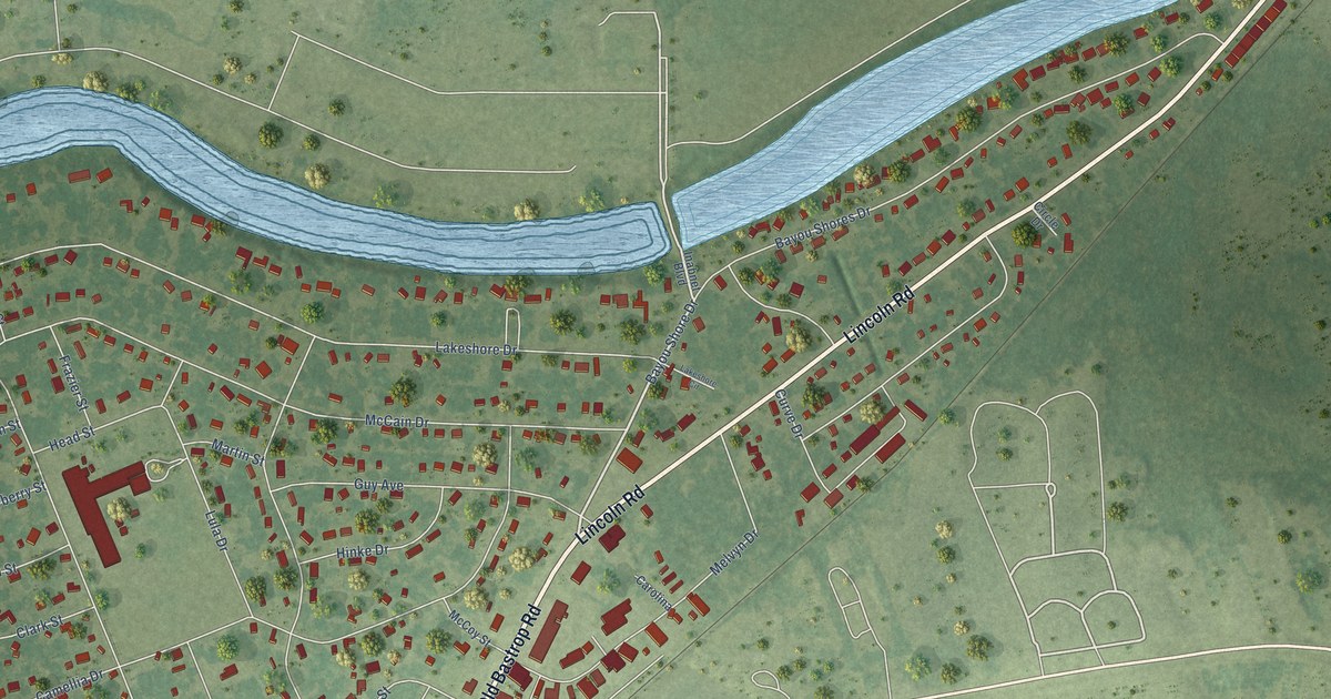
A detailed map of Lakeshore, Louisiana, showing every building in its true location, the roads by name, and shaded topographical relief.
Read More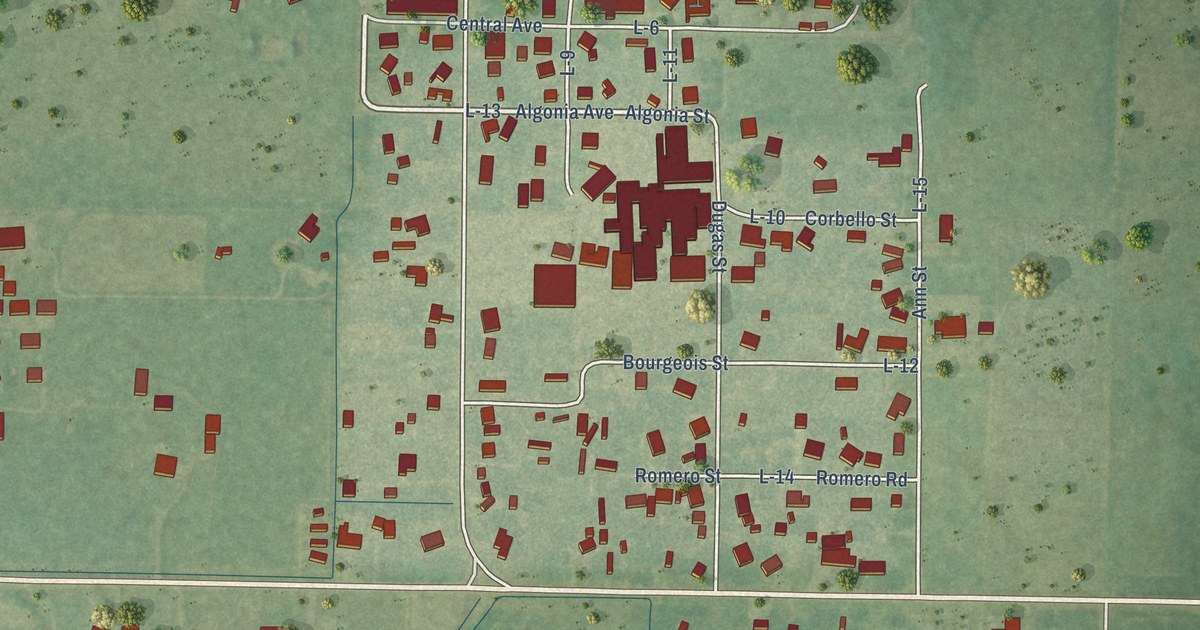
A detailed map of Lacassine, Louisiana, showing every building in its true location, the roads by name, and shaded topographical relief.
Read More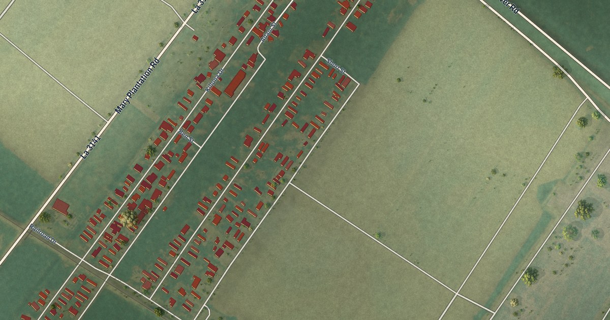
A detailed map of Killona, Louisiana, showing every building in its true location, the roads by name, and shaded topographical relief.
Read More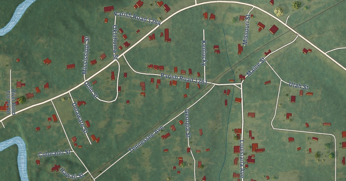
A detailed map of Joyce, Louisiana, showing every building in its true location, the roads by name, and shaded topographical relief.
Read More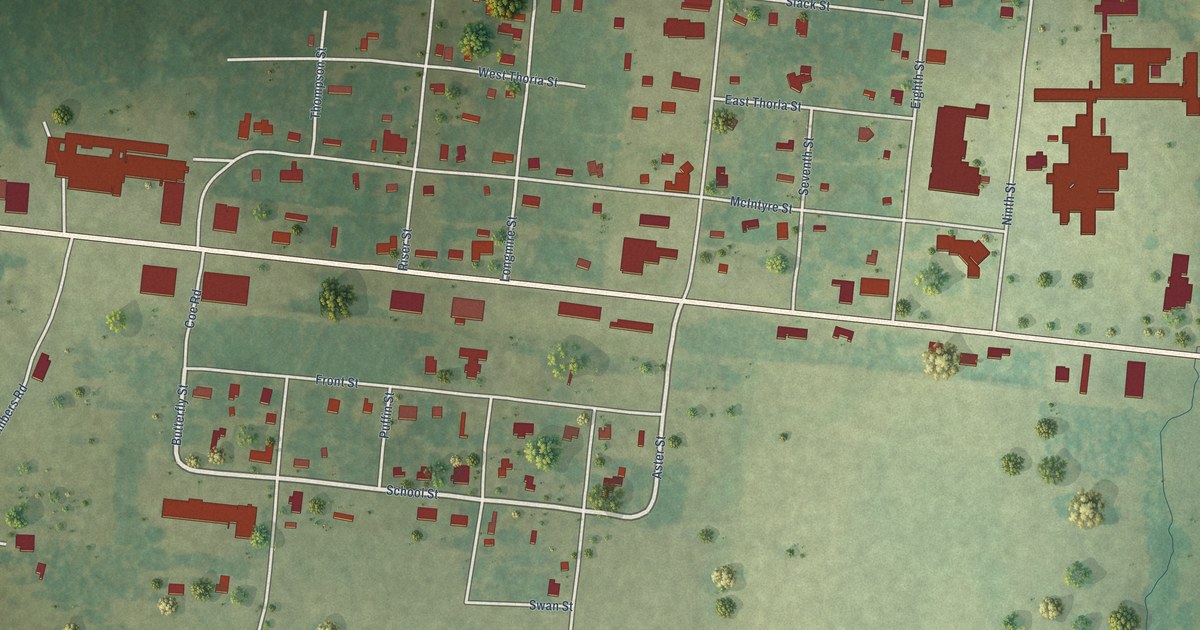
A detailed map of Good Pine, Louisiana, showing every building in its true location, the roads by name, and shaded topographical relief.
Read More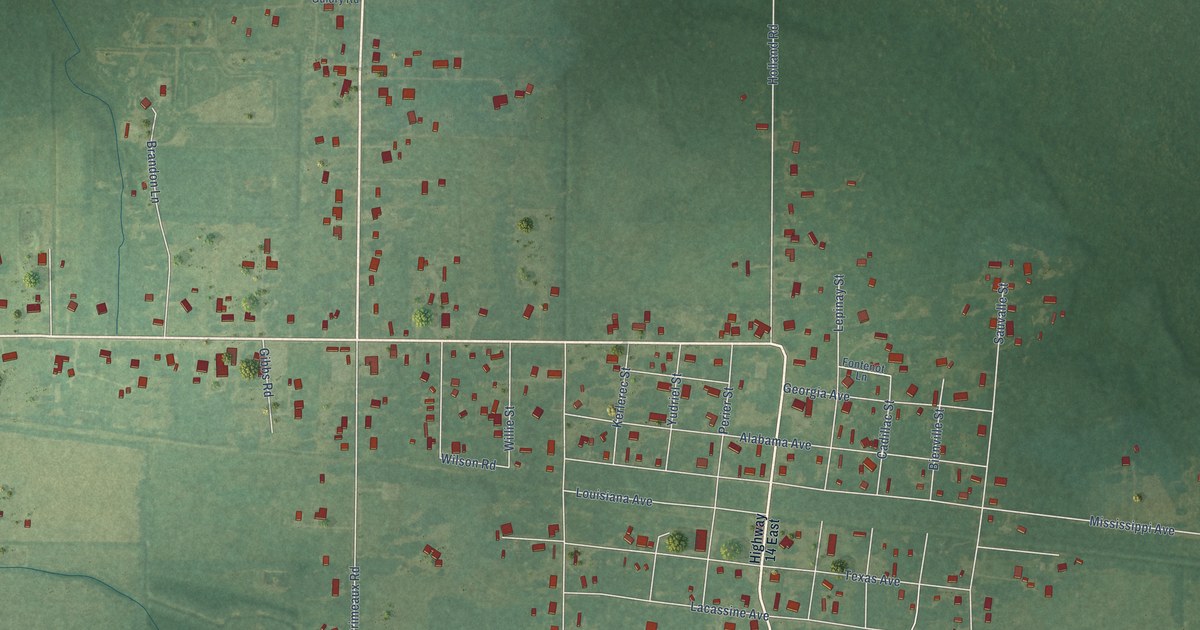
A detailed map of Hayes, Louisiana, showing every building in its true location, the roads by name, and shaded topographical relief.
Read More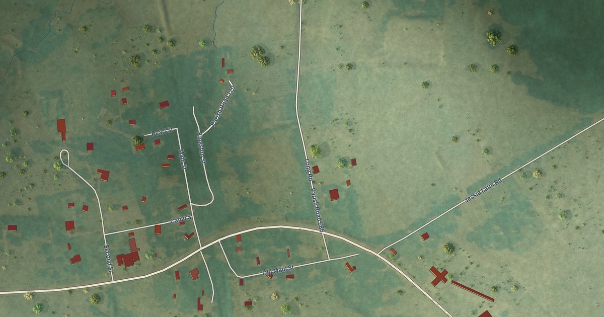
A detailed map of Gloster, Louisiana, showing every building in its true location, the roads by name, and shaded topographical relief.
Read More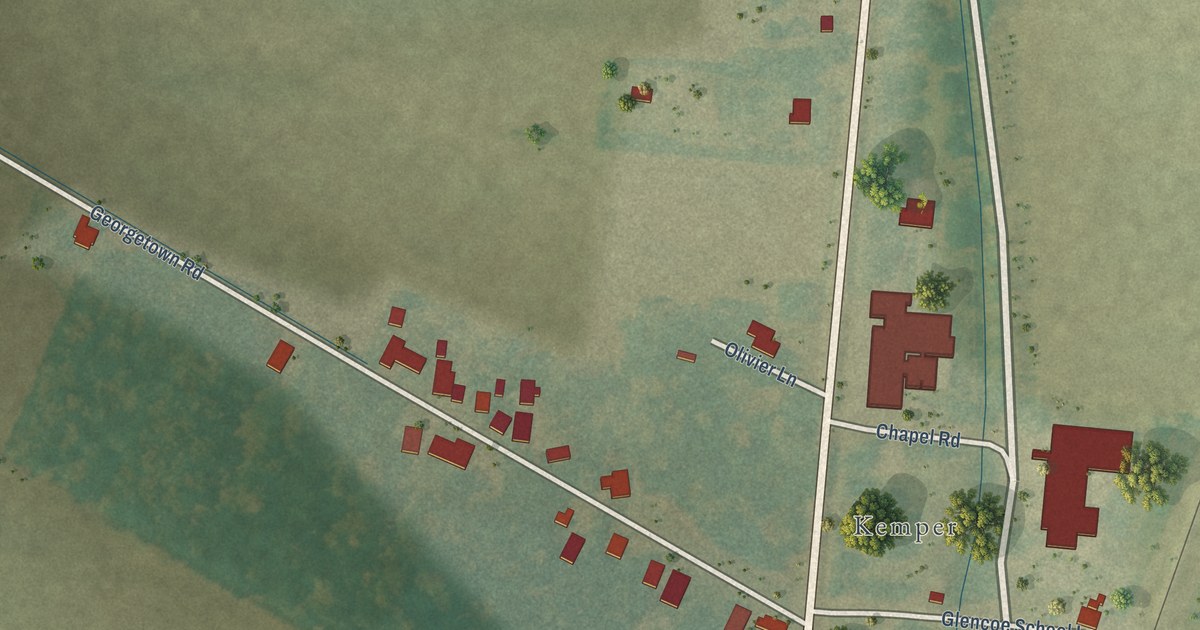
A detailed map of Glencoe, Louisiana, showing every building in its true location, the roads by name, and shaded topographical relief.
Read More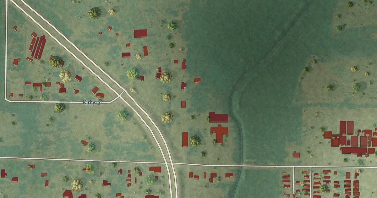
A detailed map of Gillis, Louisiana, showing every building in its true location, the roads by name, and shaded topographical relief.
Read More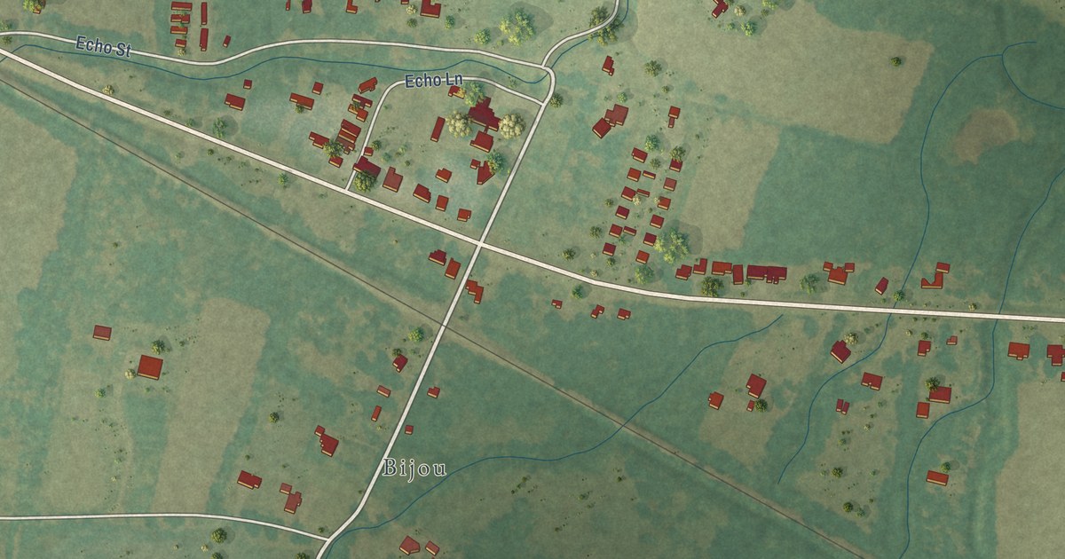
A detailed map of Echo, Louisiana, showing every building in its true location, the roads by name, and shaded topographical relief.
Read More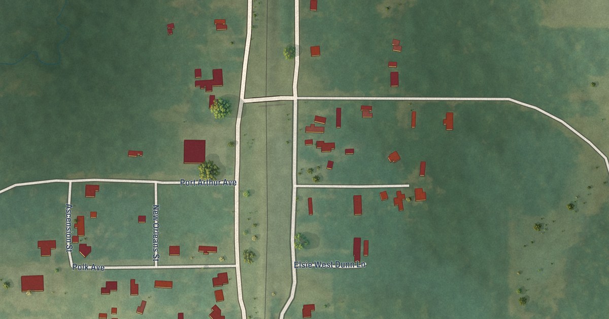
A detailed map of Frierson, Louisiana, showing every building in its true location, the roads by name, and shaded topographical relief.
Read More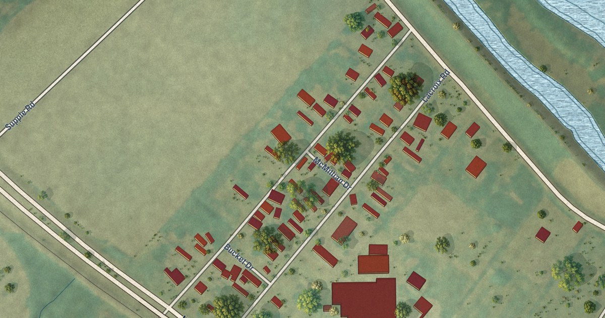
A detailed map of Dorseyville, Louisiana, showing every building in its true location, the roads by name, and shaded topographical relief.
Read More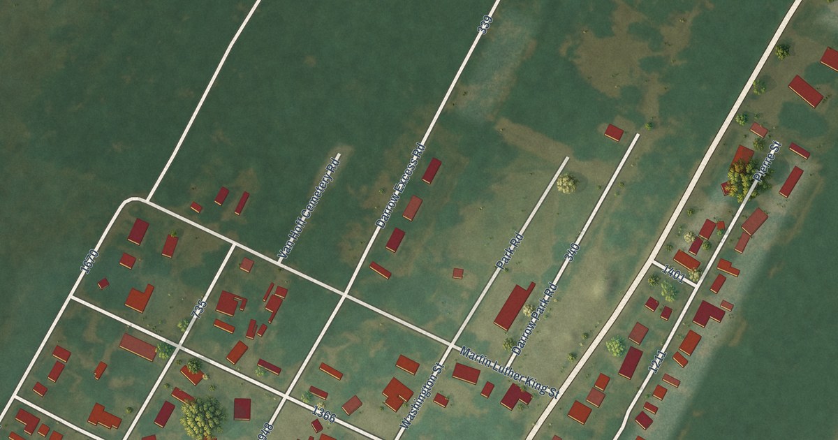
A detailed map of Darrow, Louisiana, showing every building in its true location, the roads by name, and shaded topographical relief.
Read More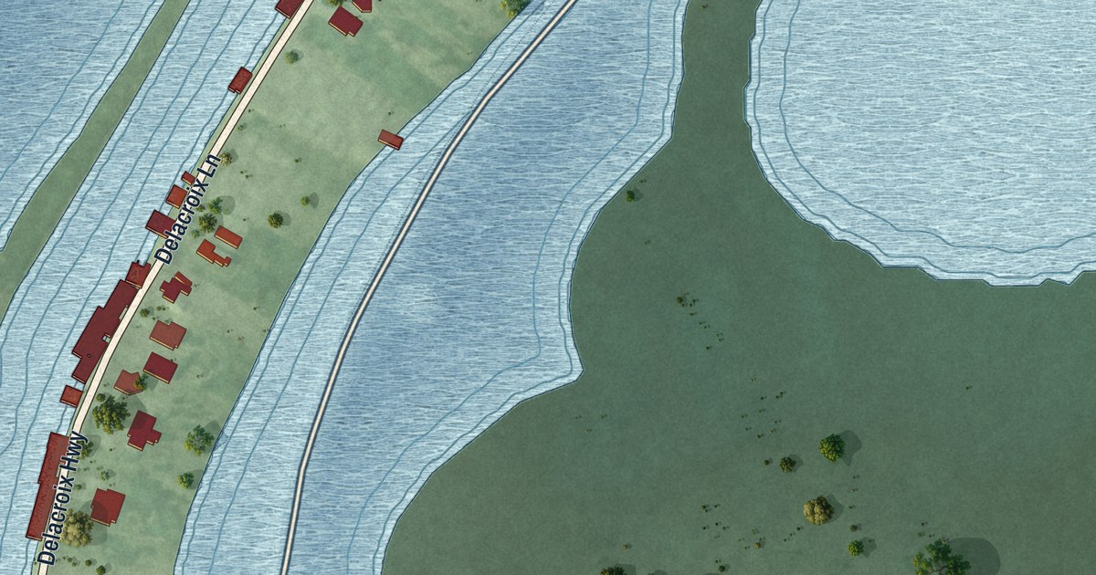
A detailed map of Delacroix, Louisiana, showing every building in its true location, the roads by name, and shaded topographical relief.
Read More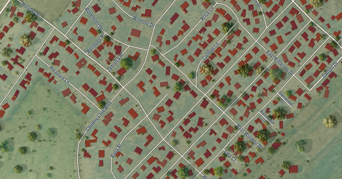
A detailed map of Bayou Country Club, Louisiana, showing every building in its true location, the roads by name, and shaded topographical relief.
Read More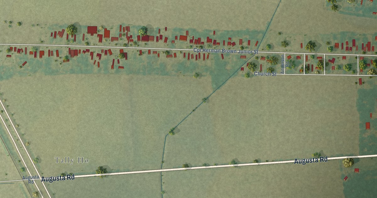
A detailed map of Bayou Goula, Louisiana, showing every building in its true location, the roads by name, and shaded topographical relief.
Read More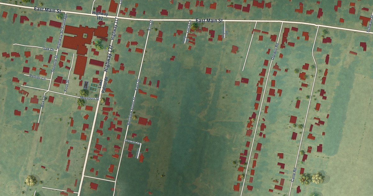
A detailed map of Centerville, Louisiana, showing every building in its true location, the roads by name, and shaded topographical relief.
Read More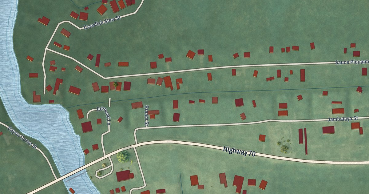
A detailed map of Bayou Corne, Louisiana, showing every building in its true location, the roads by name, and shaded topographical relief.
Read More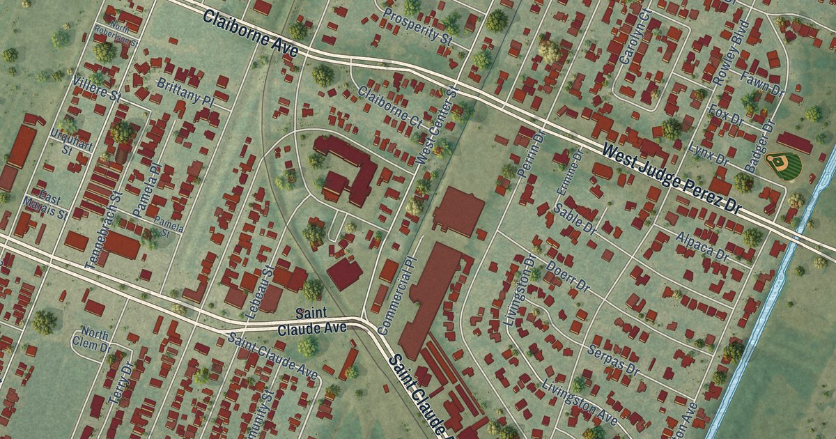
A detailed map of Arabi, Louisiana, showing every building in its true location, the roads by name, and shaded topographical relief.
Read More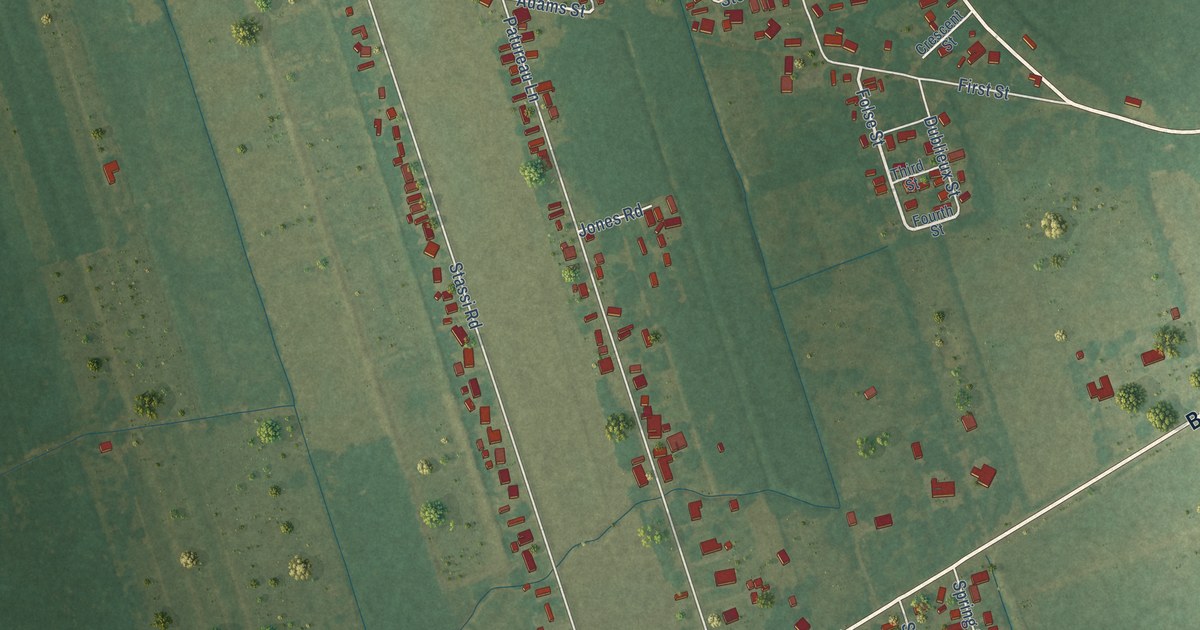
A detailed map of Crescent, Louisiana, showing every building in its true location, the roads by name, and shaded topographical relief.
Read More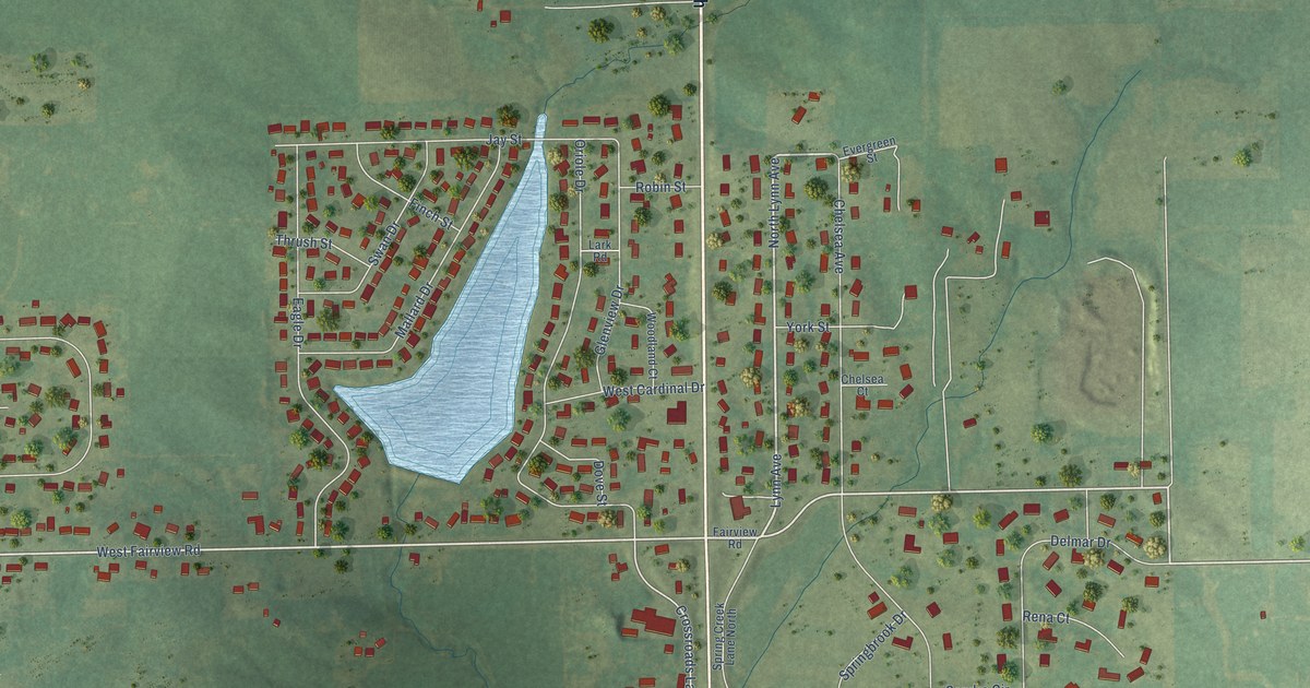
A detailed map of Willow Lake, Illinois, showing every building in its true location, the roads by name, and shaded topographical relief.
Read More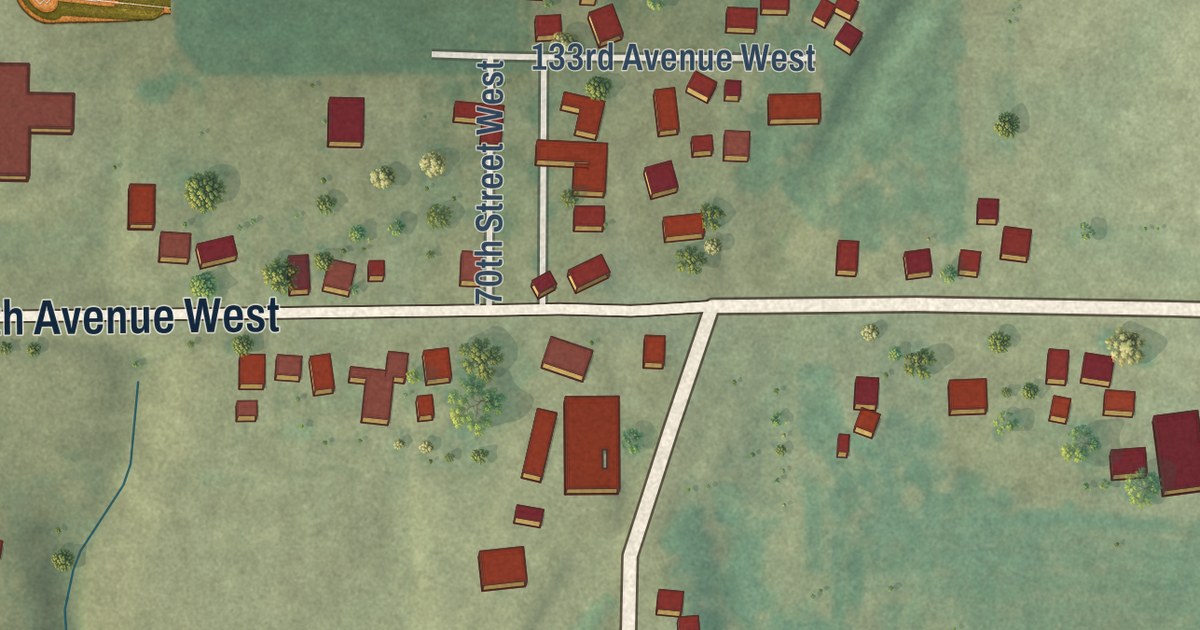
A detailed map of Taylor Ridge, Illinois, showing every building in its true location, the roads by name, and shaded topographical relief.
Read More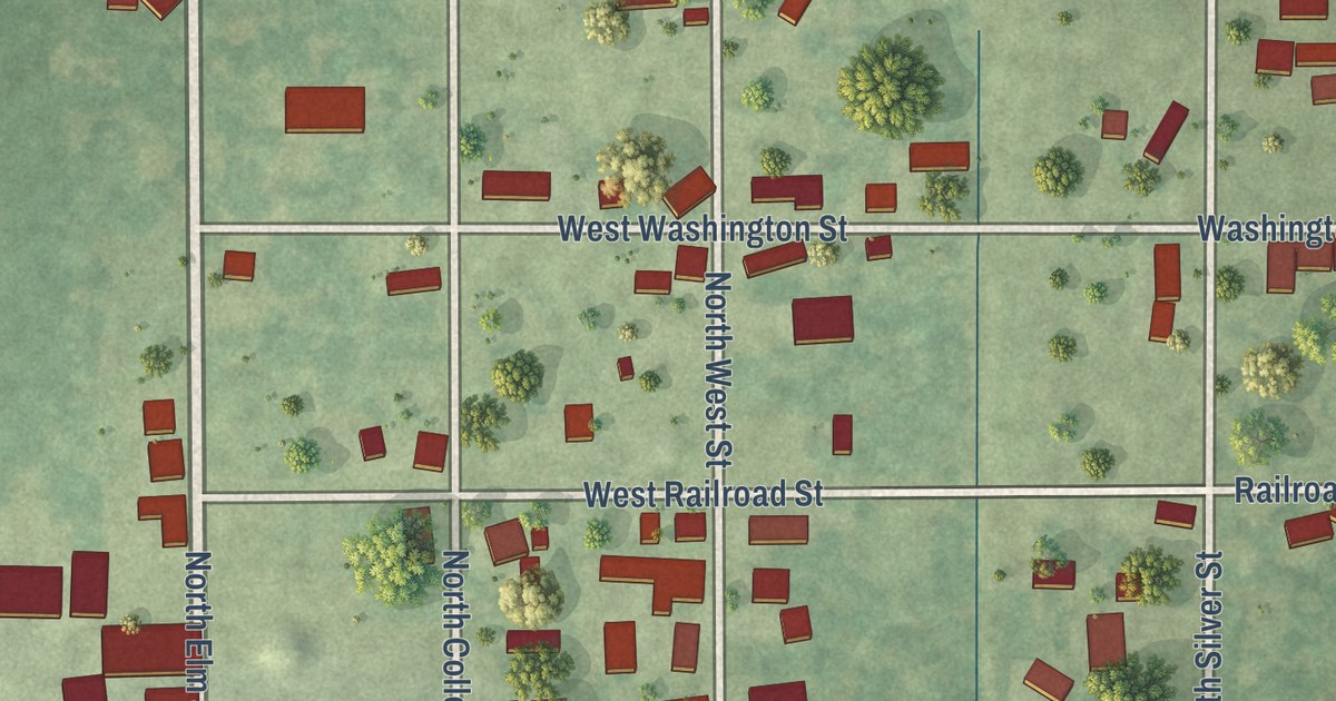
A detailed map of West Liberty, Illinois, showing every building in its true location, the roads by name, and shaded topographical relief.
Read More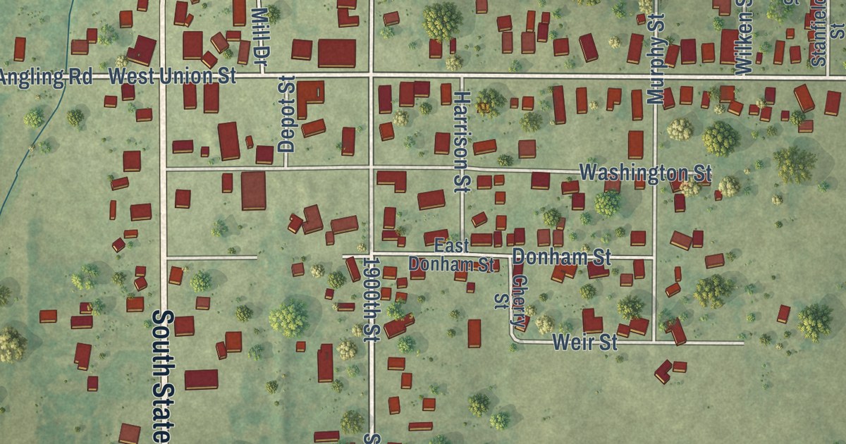
A detailed map of West Union, Illinois, showing every building in its true location, the roads by name, and shaded topographical relief.
Read More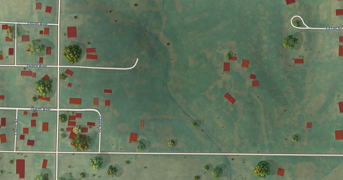
A detailed map of Swedona, Illinois, showing every building in its true location, the roads by name, and shaded topographical relief.
Read More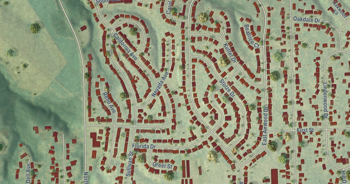
A detailed map of Rosewood Heights, Illinois, showing every building in its true location, the roads by name, and shaded topographical relief.
Read More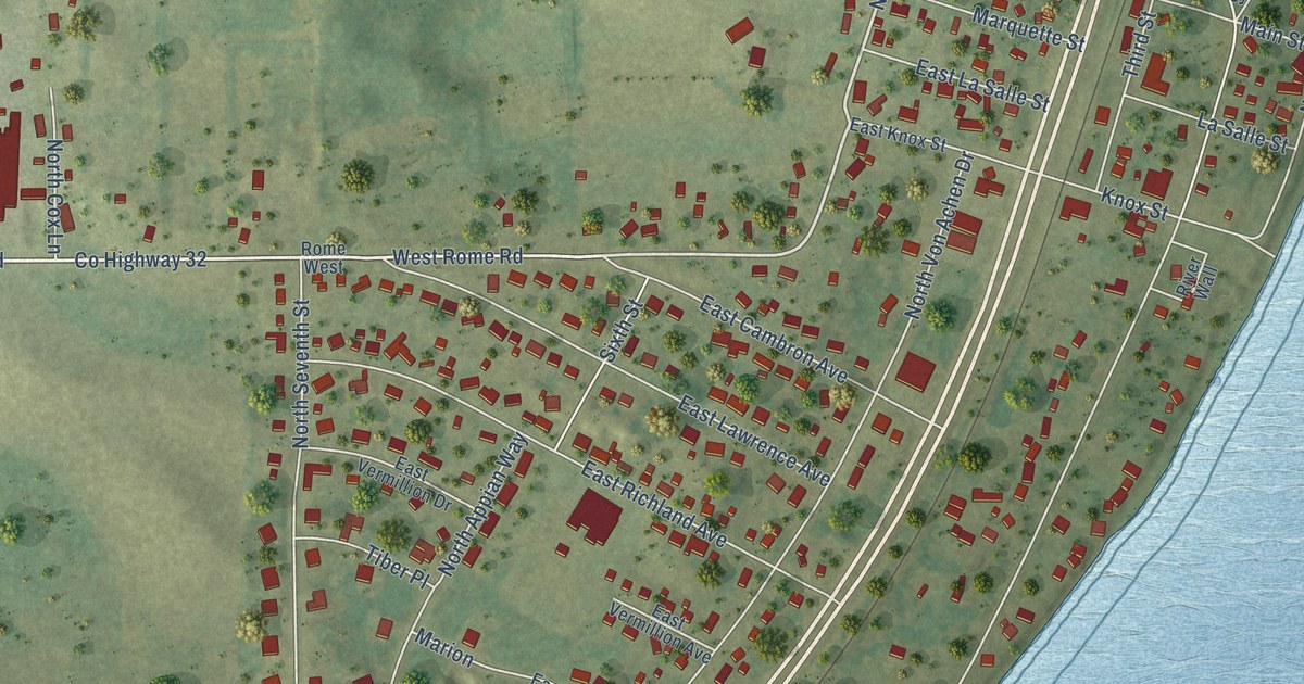
A detailed map of Rome, Illinois, showing every building in its true location, the roads by name, and shaded topographical relief.
Read More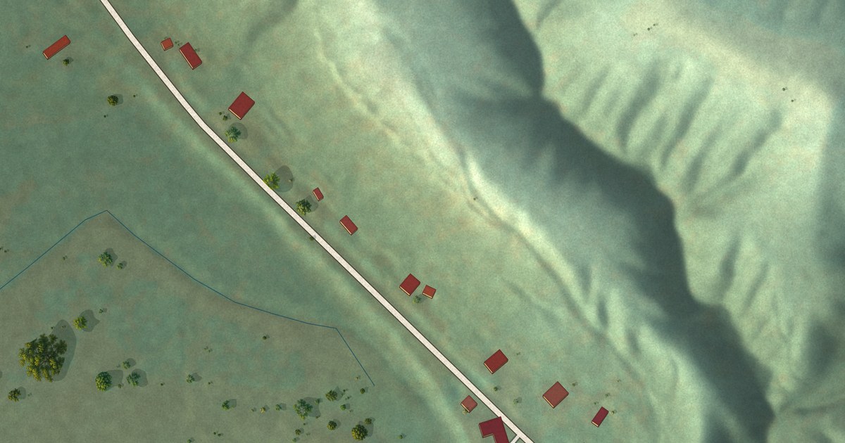
A detailed map of Rockport, Illinois, showing every building in its true location, the roads by name, and shaded topographical relief.
Read More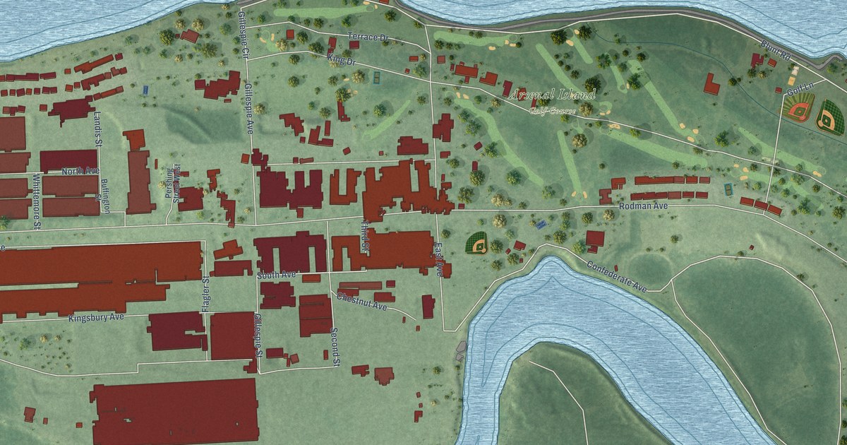
A detailed map of Rock Island Arsenal, Illinois, showing every building in its true location, the roads by name, and shaded topographical relief.
Read More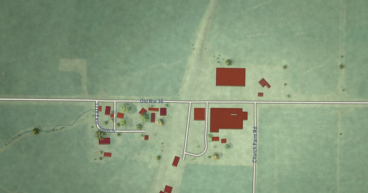
A detailed map of Riggston, Illinois, showing every building in its true location, the roads by name, and shaded topographical relief.
Read More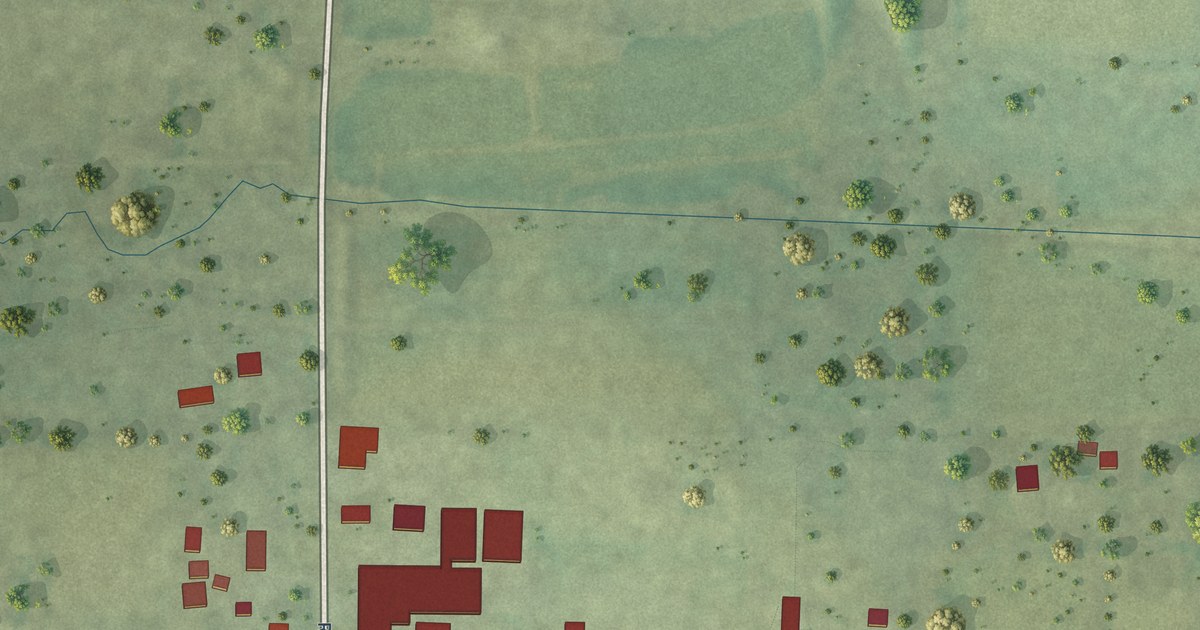
A detailed map of Riley, Illinois, showing every building in its true location, the roads by name, and shaded topographical relief.
Read More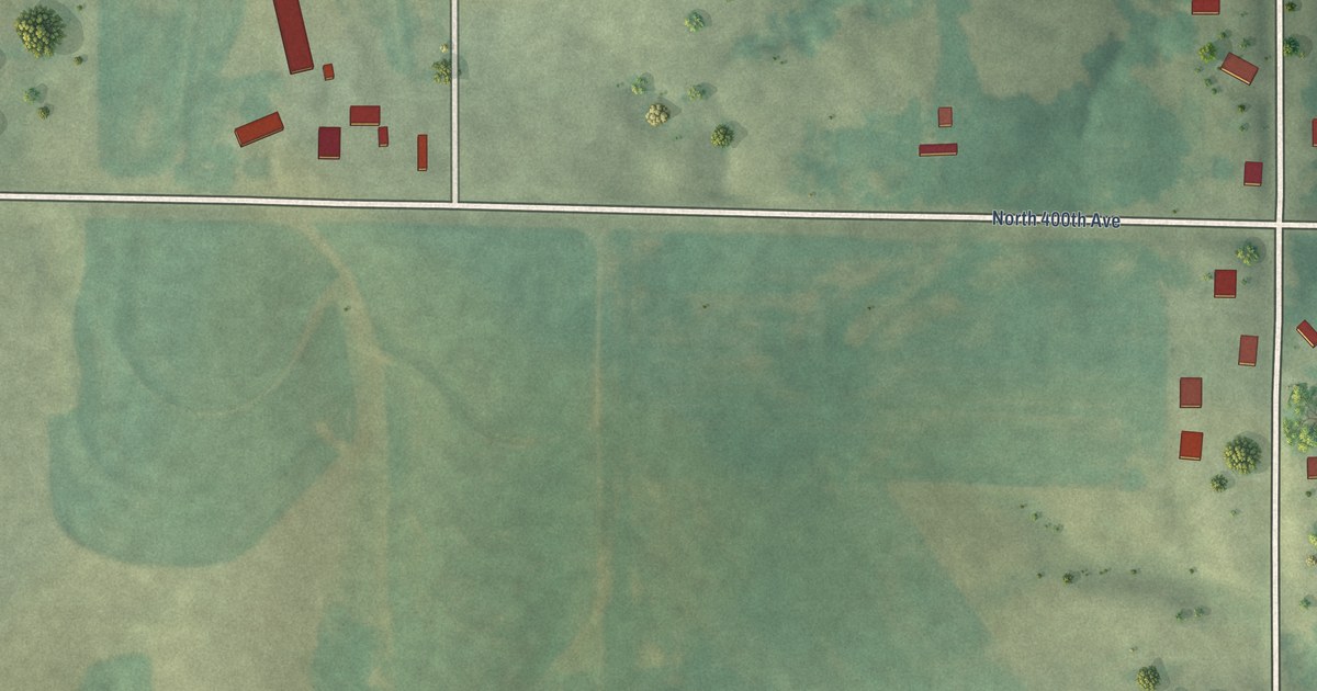
A detailed map of Richfield, Illinois, showing every building in its true location, the roads by name, and shaded topographical relief.
Read More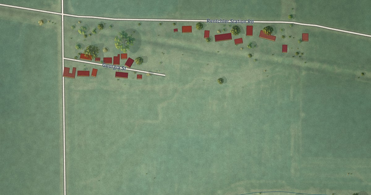
A detailed map of Rentchler, Illinois, showing every building in its true location, the roads by name, and shaded topographical relief.
Read More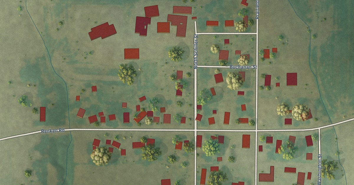
A detailed map of Prairietown, Illinois, showing every building in its true location, the roads by name, and shaded topographical relief.
Read More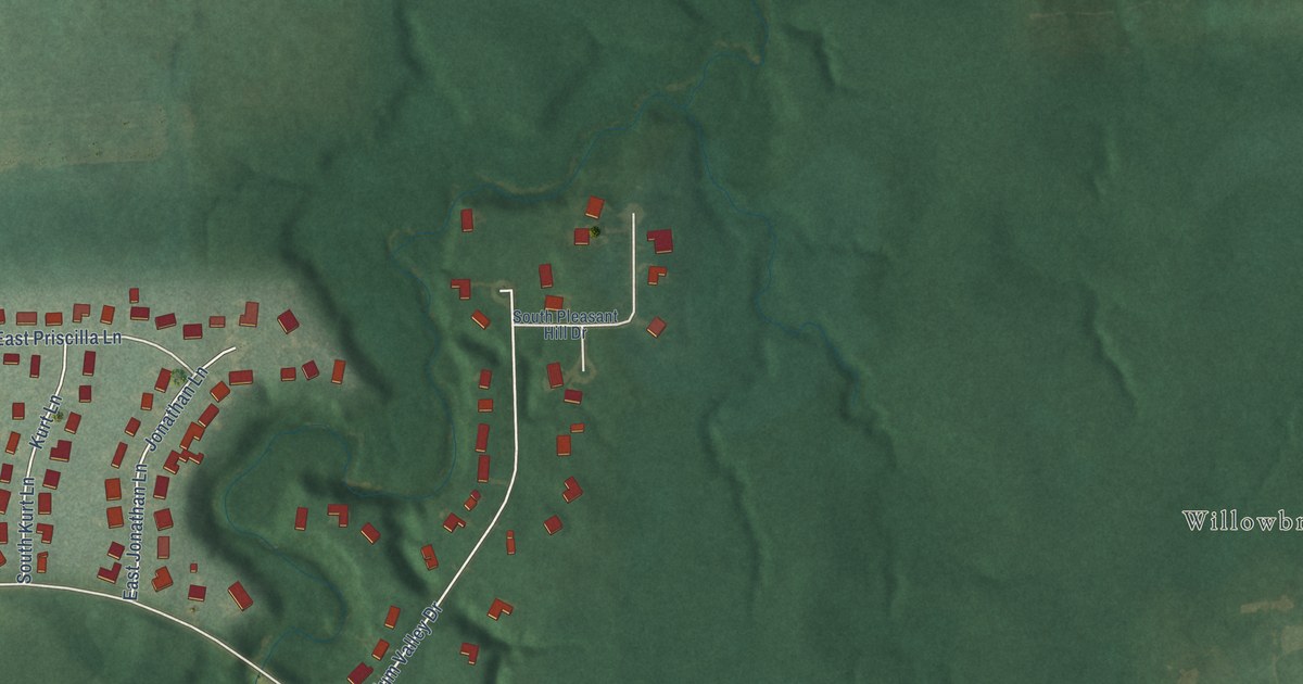
A detailed map of Plum Valley, Illinois, showing every building in its true location, the roads by name, and shaded topographical relief.
Read More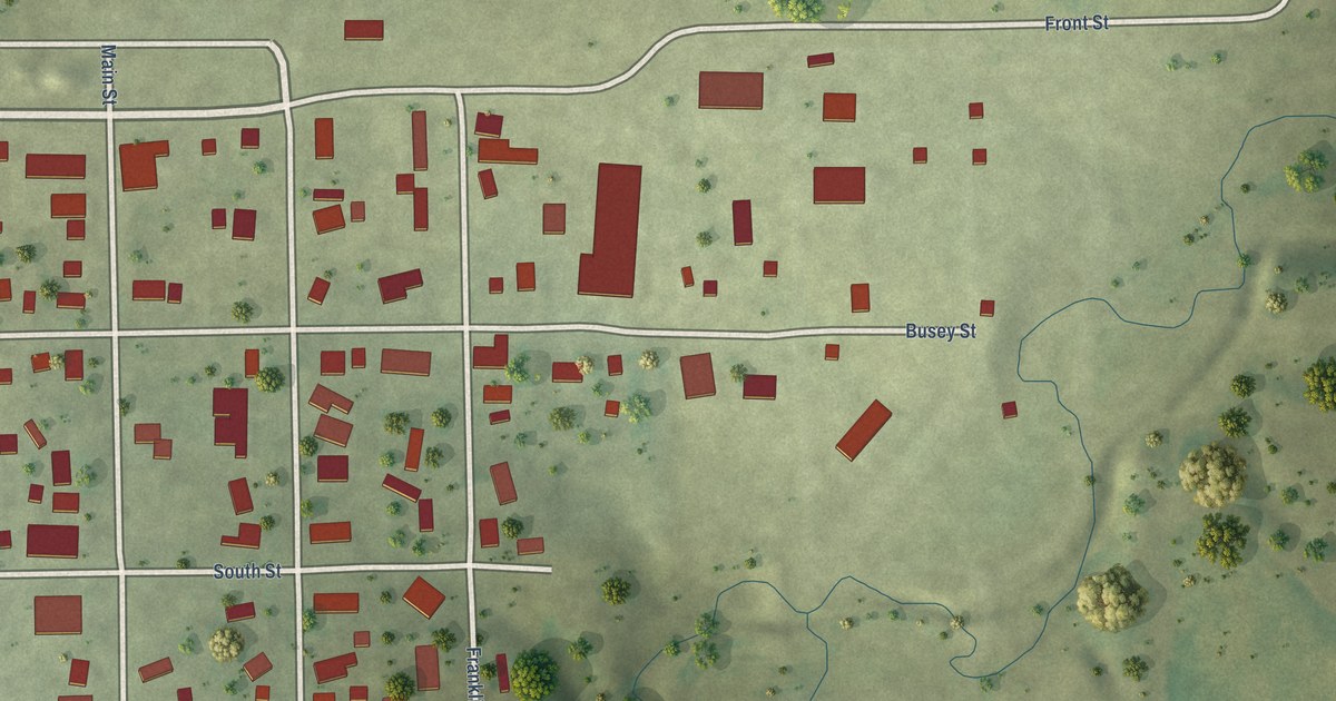
A detailed map of Penfield, Illinois, showing every building in its true location, the roads by name, and shaded topographical relief.
Read More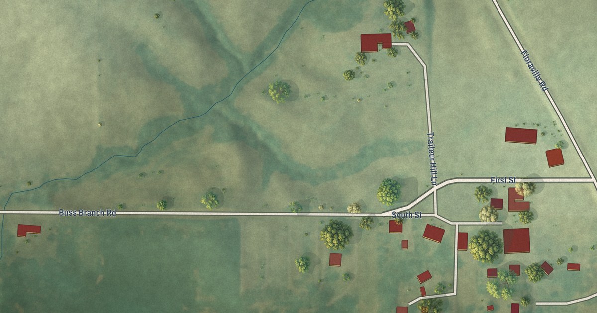
A detailed map of Paderborn, Illinois, showing every building in its true location, the roads by name, and shaded topographical relief.
Read More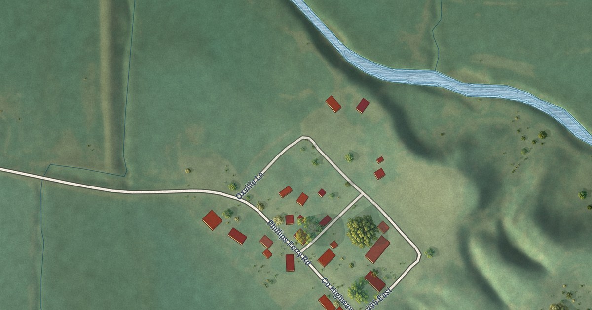
A detailed map of Oxville, Illinois, showing every building in its true location, the roads by name, and shaded topographical relief.
Read More
A detailed map of Osco, Illinois, showing every building in its true location, the roads by name, and shaded topographical relief.
Read More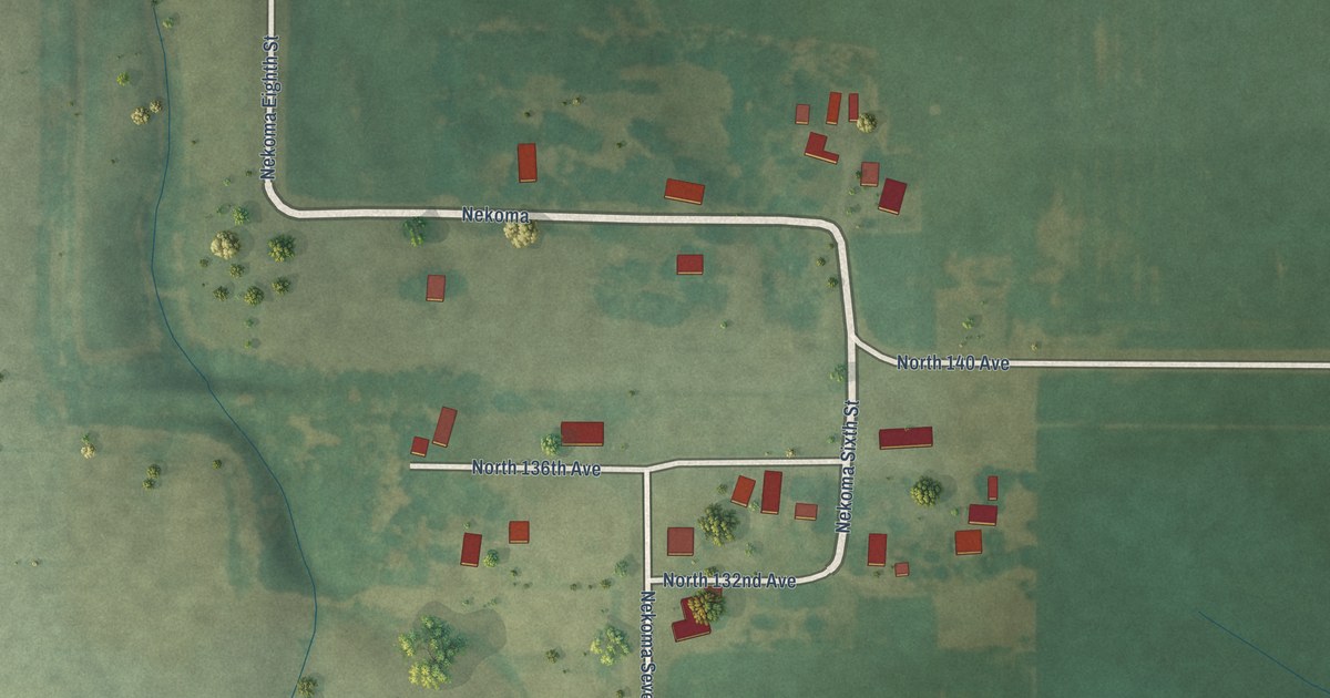
A detailed map of Nekoma, Illinois, showing every building in its true location, the roads by name, and shaded topographical relief.
Read More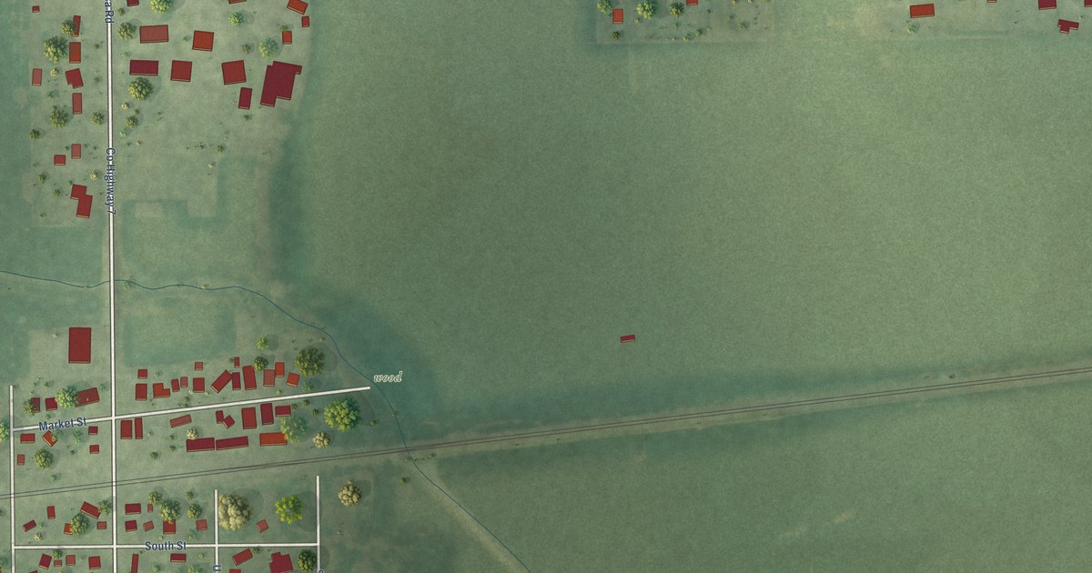
A detailed map of Nachusa, Illinois, showing every building in its true location, the roads by name, and shaded topographical relief.
Read More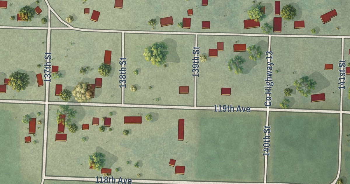
A detailed map of Millersburg, Illinois, showing every building in its true location, the roads by name, and shaded topographical relief.
Read More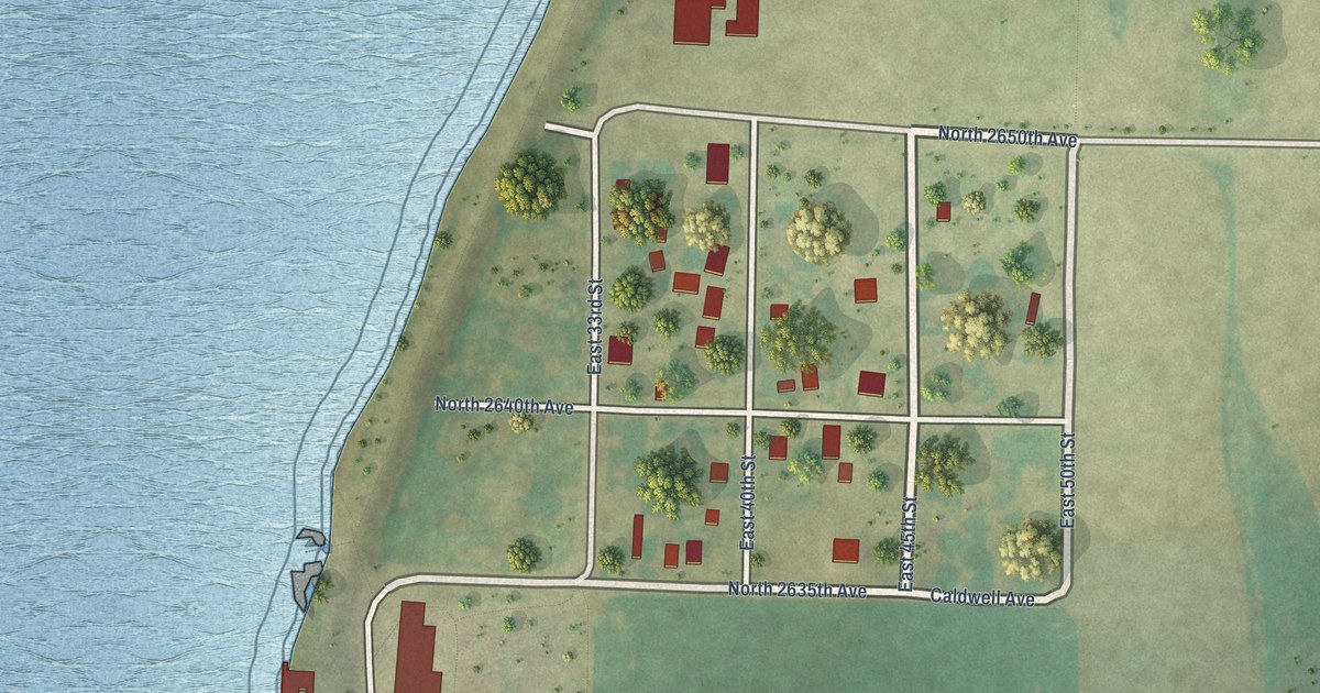
A detailed map of Meyer, Illinois, showing every building in its true location, the roads by name, and shaded topographical relief.
Read More
A detailed map of Merritt, Illinois, showing every building in its true location, the roads by name, and shaded topographical relief.
Read More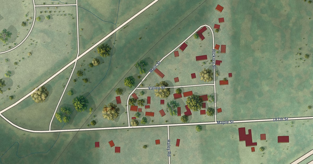
A detailed map of Marley, Illinois, showing every building in its true location, the roads by name, and shaded topographical relief.
Read More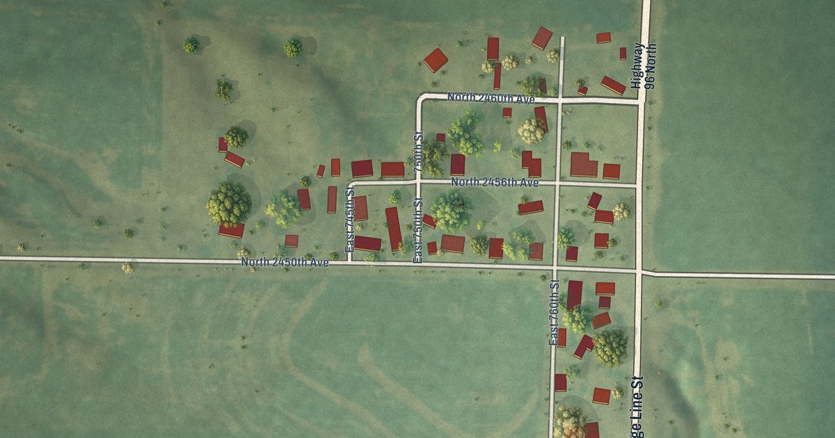
A detailed map of Marcelline, Illinois, showing every building in its true location, the roads by name, and shaded topographical relief.
Read More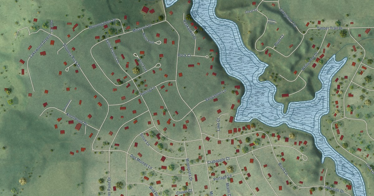
A detailed map of Lost Nation, Illinois, showing every building in its true location, the roads by name, and shaded topographical relief.
Read More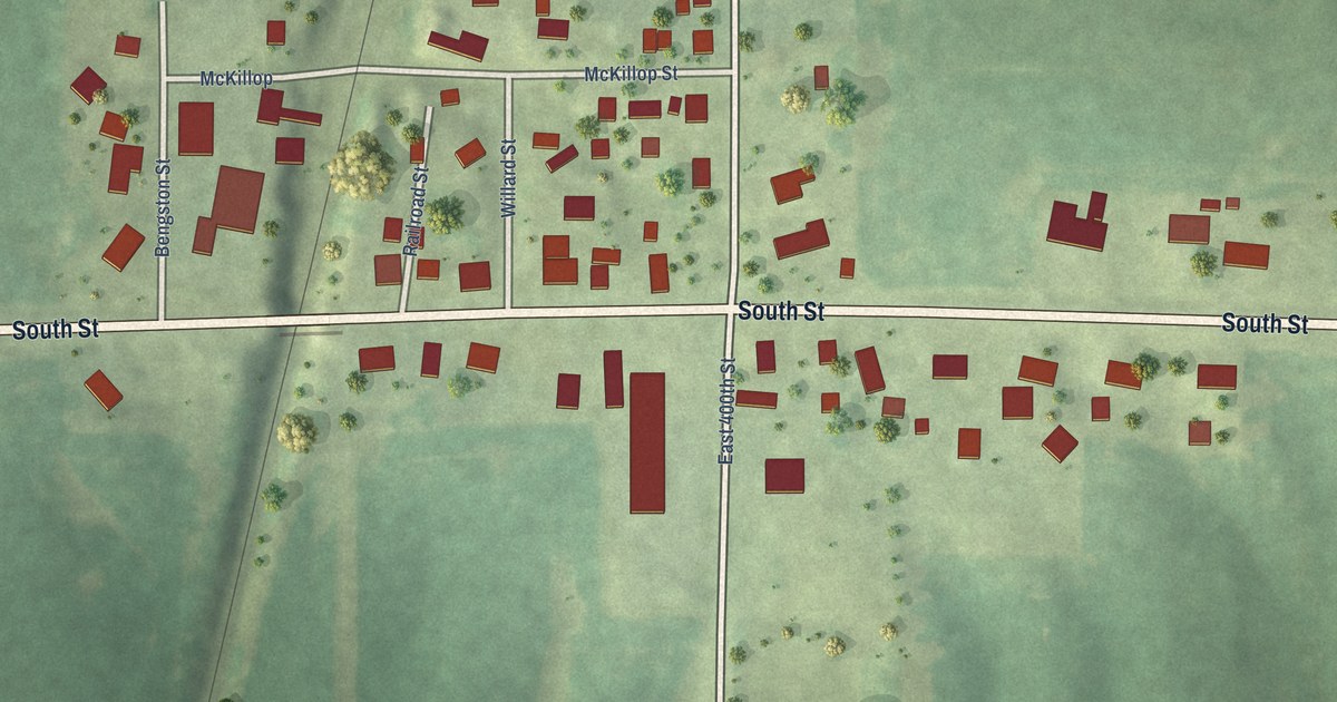
A detailed map of Lynn Center, Illinois, showing every building in its true location, the roads by name, and shaded topographical relief.
Read More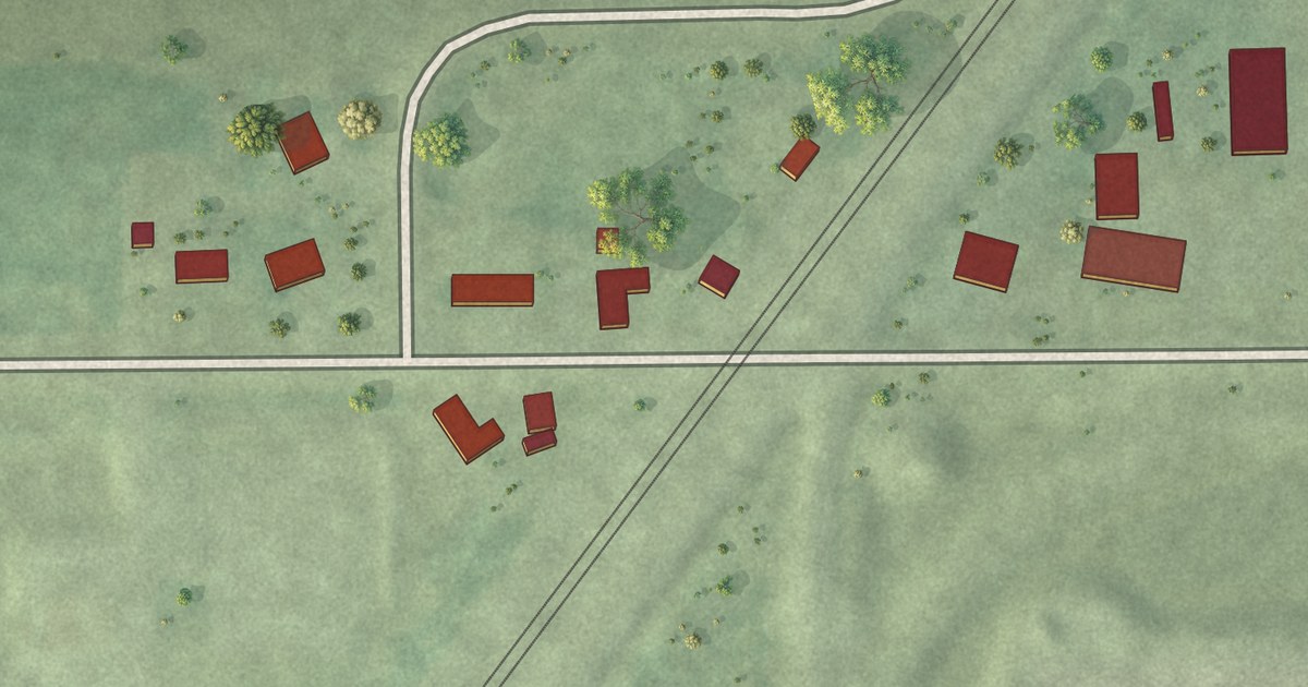
A detailed map of Lorenzo, Illinois, showing every building in its true location, the roads by name, and shaded topographical relief.
Read More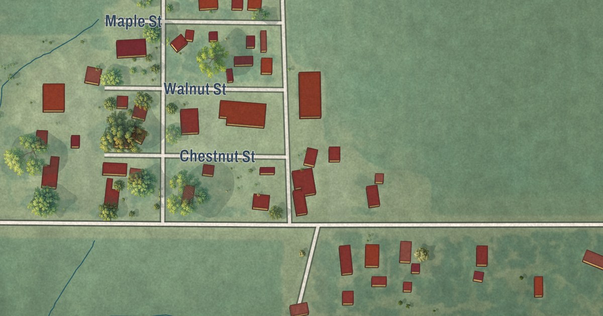
A detailed map of Literberry, Illinois, showing every building in its true location, the roads by name, and shaded topographical relief.
Read More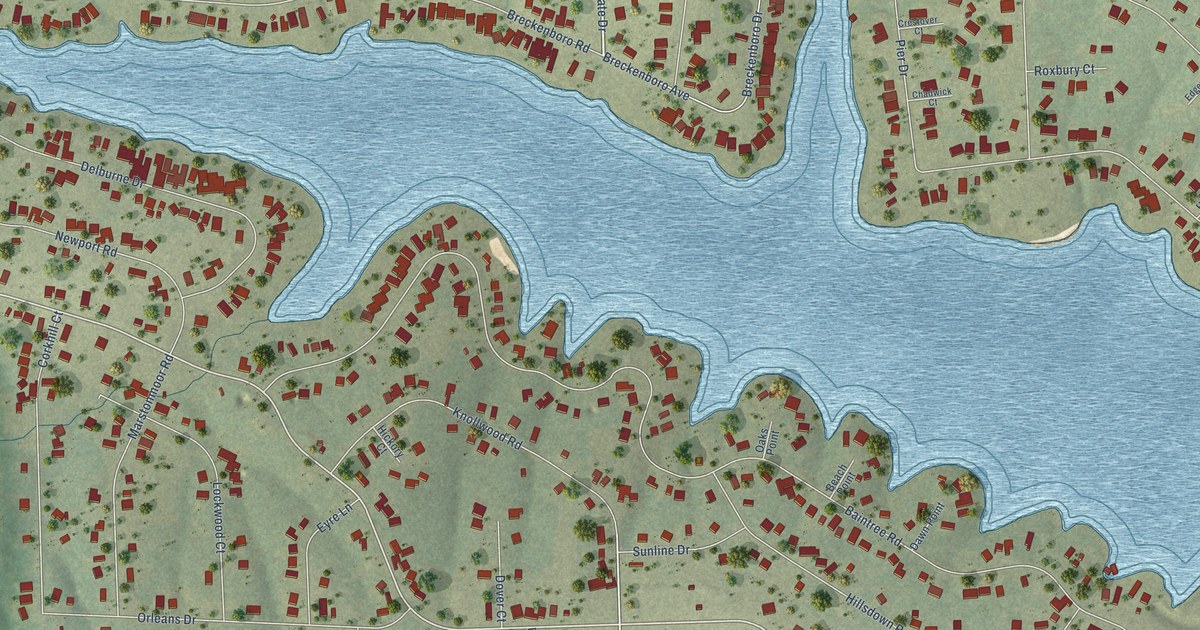
A detailed map of Lake Summerset, Illinois, showing every building in its true location, the roads by name, and shaded topographical relief.
Read More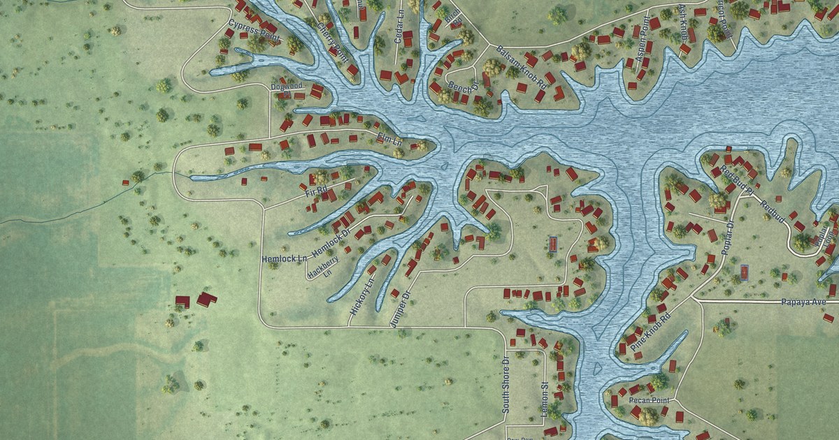
A detailed map of Lake Petersburg, Illinois, showing every building in its true location, the roads by name, and shaded topographical relief.
Read More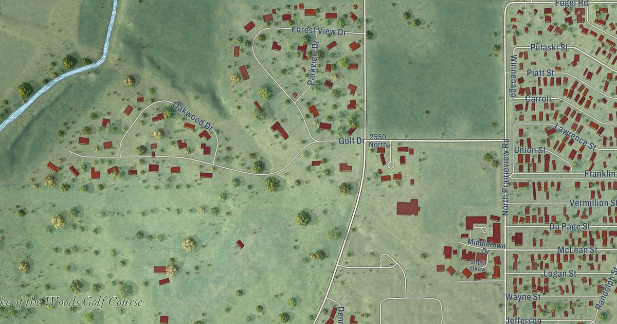
A detailed map of Lake of the Woods, Illinois, showing every building in its true location, the roads by name, and shaded topographical relief.
Read More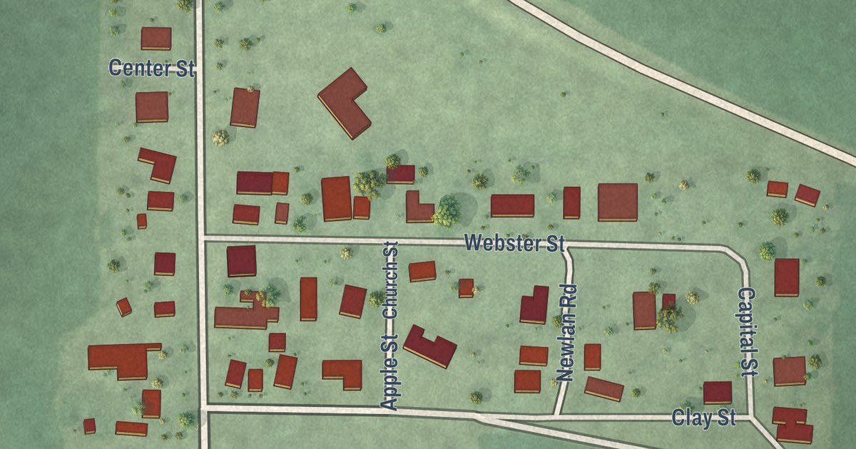
A detailed map of Lake City, Illinois, showing every building in its true location, the roads by name, and shaded topographical relief.
Read More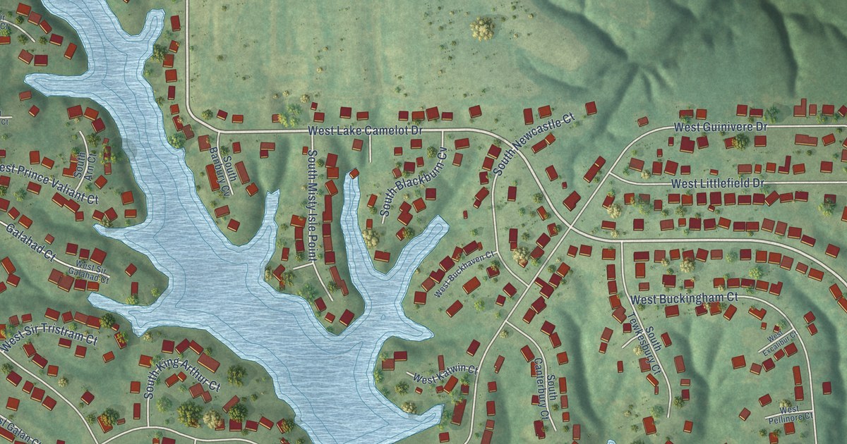
A detailed map of Lake Camelot, Illinois, showing every building in its true location, the roads by name, and shaded topographical relief.
Read More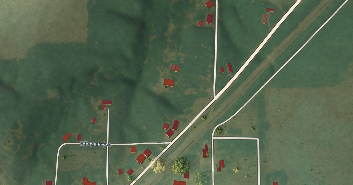
A detailed map of La Clede, Illinois, showing every building in its true location, the roads by name, and shaded topographical relief.
Read More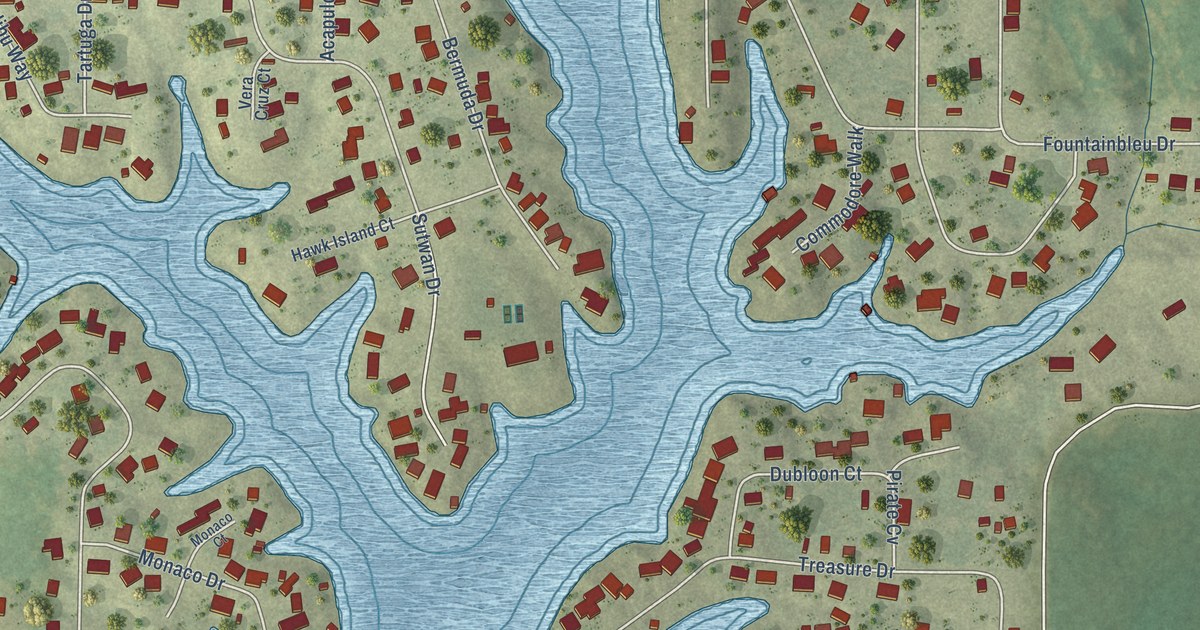
A detailed map of Holiday Shores, Illinois, showing every building in its true location, the roads by name, and shaded topographical relief.
Read More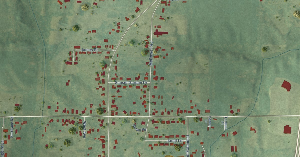
A detailed map of Harrison, Illinois, showing every building in its true location, the roads by name, and shaded topographical relief.
Read More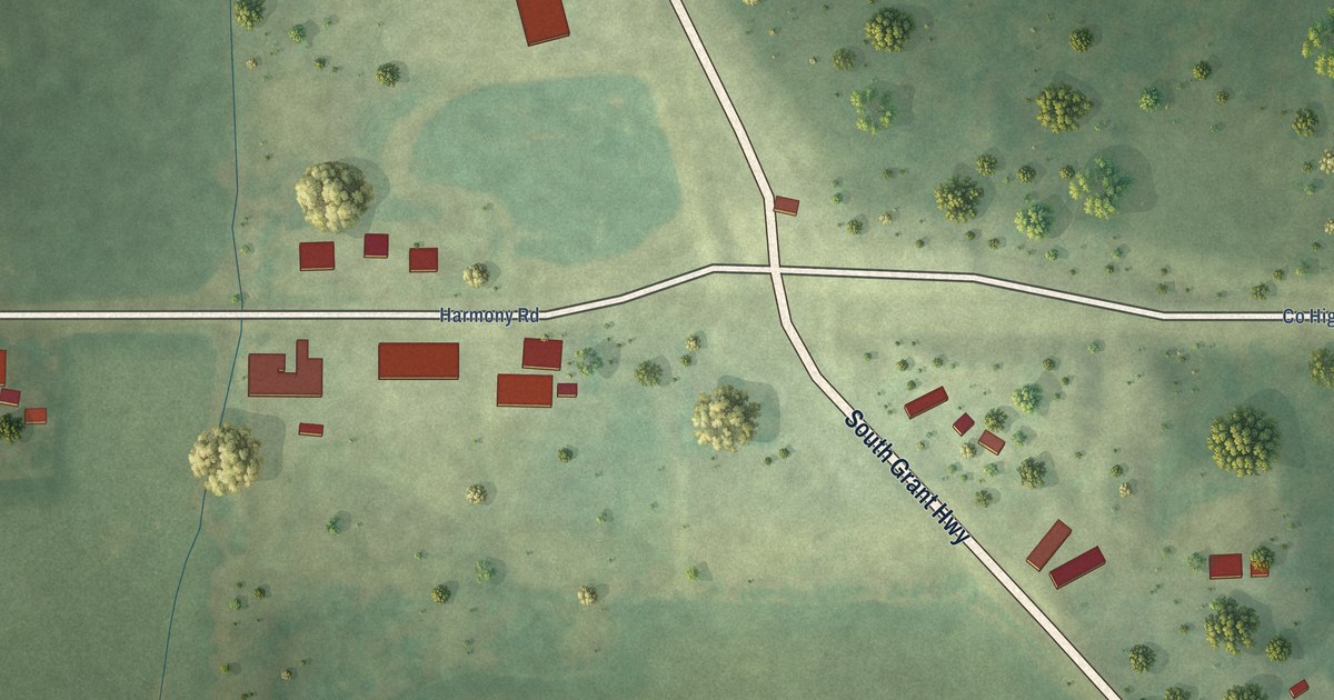
A detailed map of Harmony, Illinois, showing every building in its true location, the roads by name, and shaded topographical relief.
Read More















