Detailed Map of Hamlet, Illinois
A detailed map of Hamlet, Illinois, showing every building in its true location, the roads by name, and shaded topographical relief.
Read More
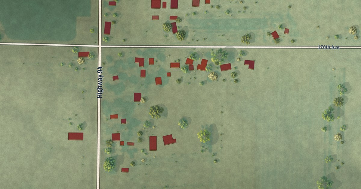
A detailed map of Hamlet, Illinois, showing every building in its true location, the roads by name, and shaded topographical relief.
Read More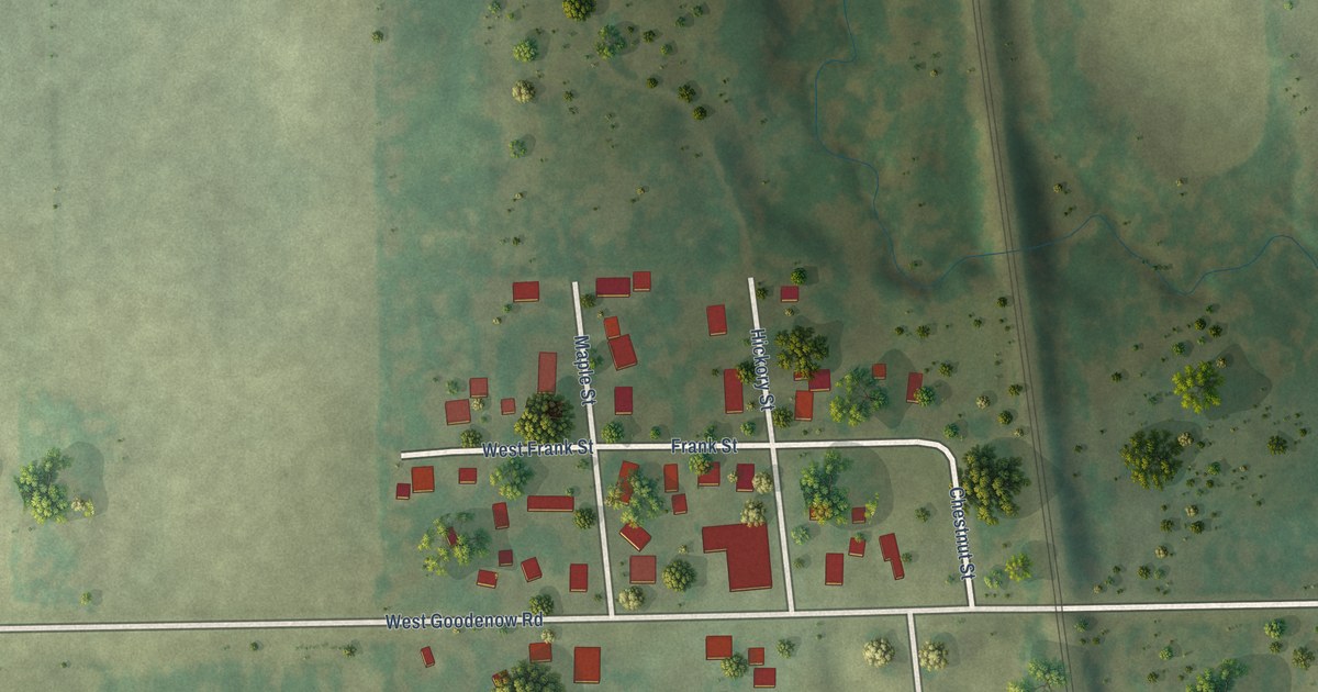
A detailed map of Goodenow, Illinois, showing every building in its true location, the roads by name, and shaded topographical relief.
Read More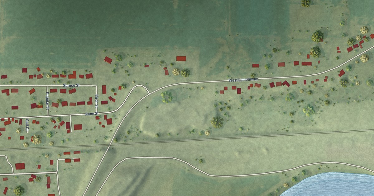
A detailed map of Galt, Illinois, showing every building in its true location, the roads by name, and shaded topographical relief.
Read More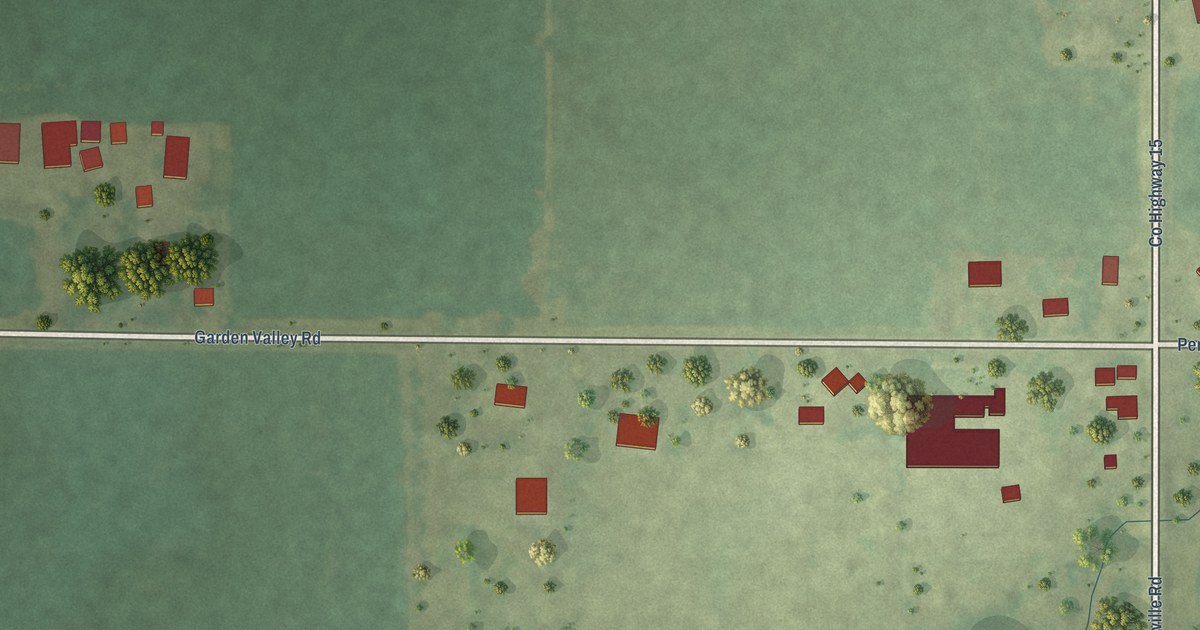
A detailed map of Franklinville, Illinois, showing every building in its true location, the roads by name, and shaded topographical relief.
Read More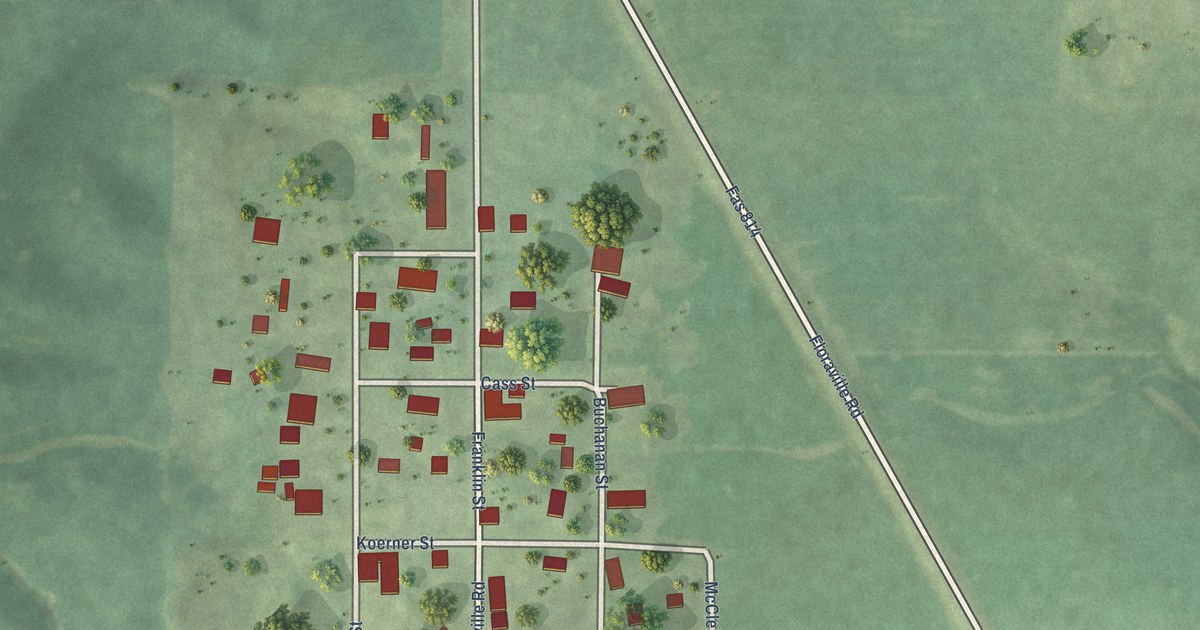
A detailed map of Floraville, Illinois, showing every building in its true location, the roads by name, and shaded topographical relief.
Read More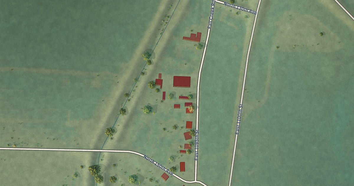
A detailed map of Fall Creek, Illinois, showing every building in its true location, the roads by name, and shaded topographical relief.
Read More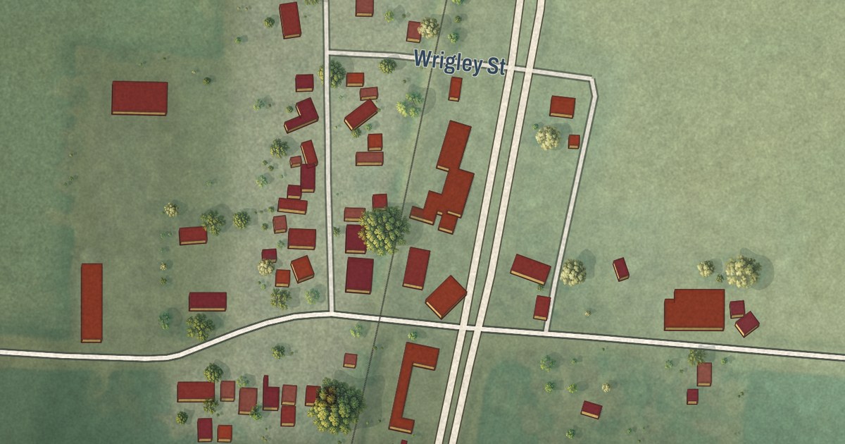
A detailed map of Elwin, Illinois, showing every building in its true location, the roads by name, and shaded topographical relief.
Read More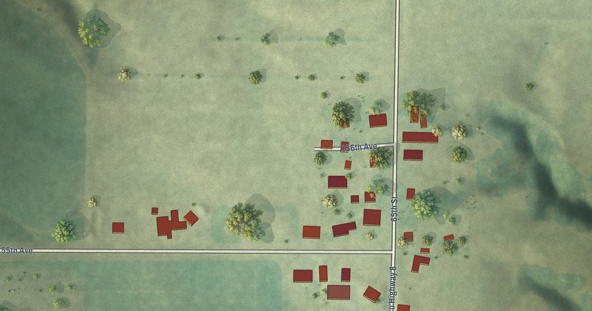
A detailed map of Eliza, Illinois, showing every building in its true location, the roads by name, and shaded topographical relief.
Read More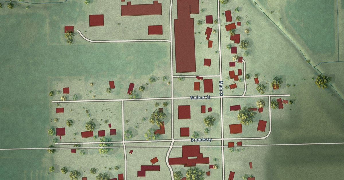
A detailed map of East Lynn, Illinois, showing every building in its true location, the roads by name, and shaded topographical relief.
Read More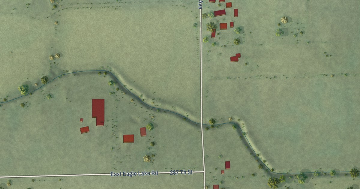
A detailed map of Eagle Lake, Illinois, showing every building in its true location, the roads by name, and shaded topographical relief.
Read More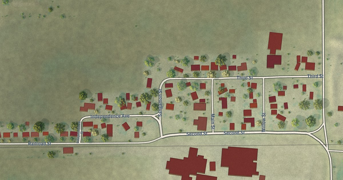
A detailed map of Dewey, Illinois, showing every building in its true location, the roads by name, and shaded topographical relief.
Read More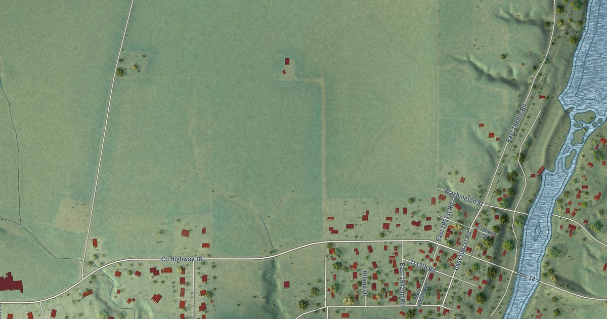
A detailed map of Dayton, Illinois, showing every building in its true location, the roads by name, and shaded topographical relief.
Read More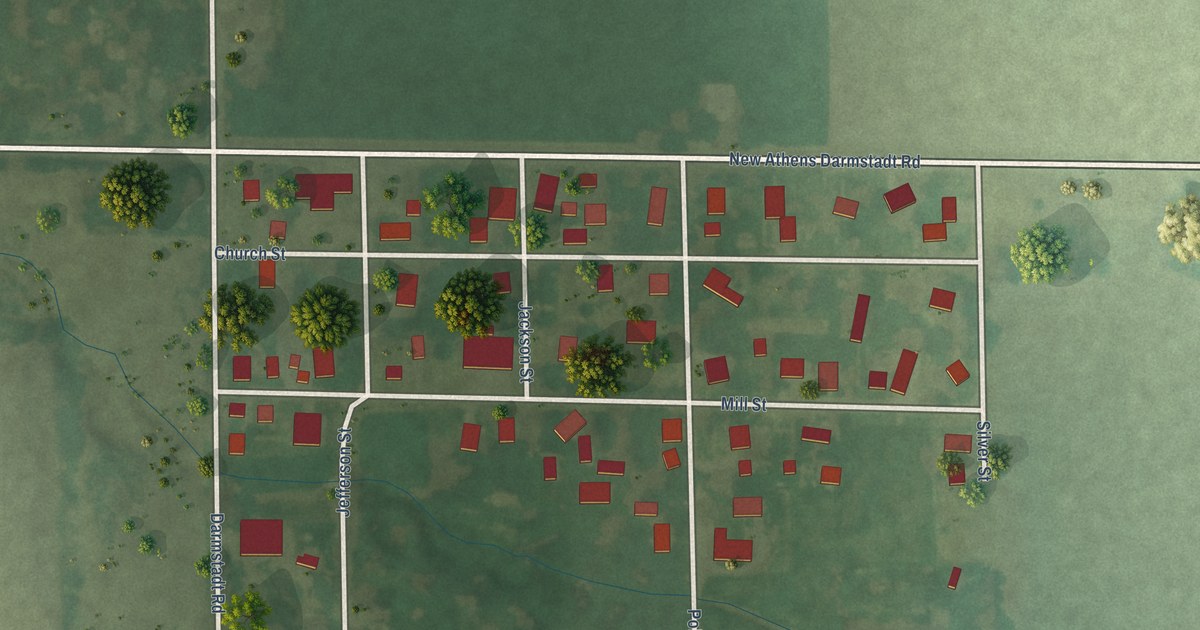
A detailed map of Darmstadt, Illinois, showing every building in its true location, the roads by name, and shaded topographical relief.
Read More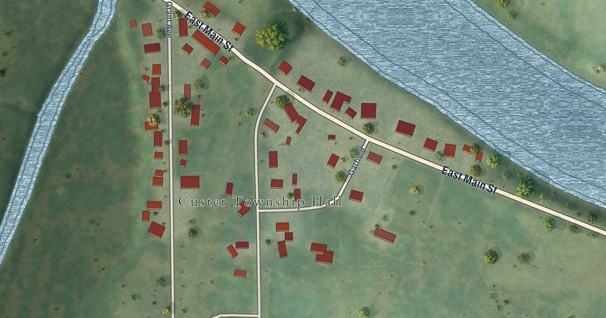
A detailed map of Custer Park, Illinois, showing every building in its true location, the roads by name, and shaded topographical relief.
Read More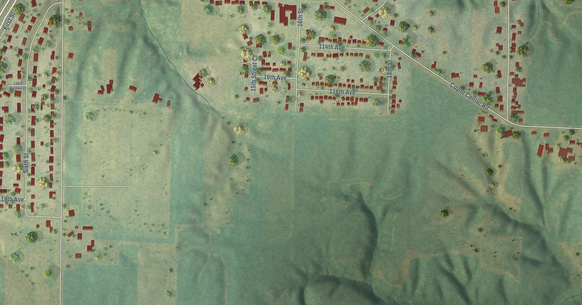
A detailed map of Coyne Center, Illinois, showing every building in its true location, the roads by name, and shaded topographical relief.
Read More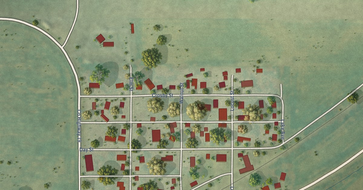
A detailed map of Cornland, Illinois, showing every building in its true location, the roads by name, and shaded topographical relief.
Read More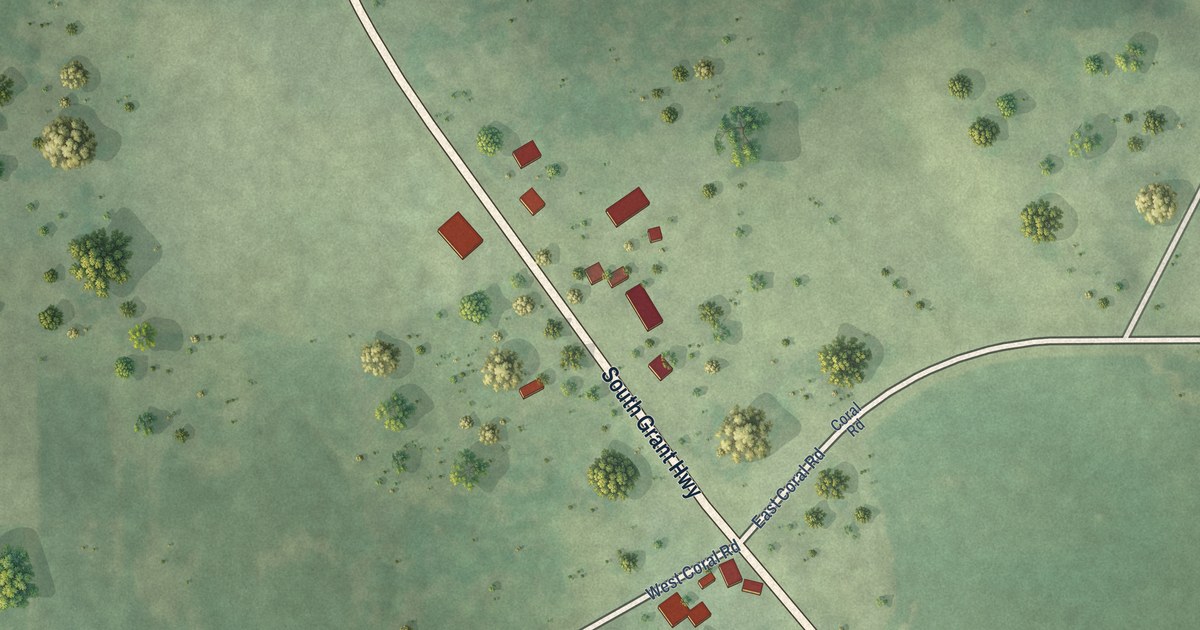
A detailed map of Coral, Illinois, showing every building in its true location, the roads by name, and shaded topographical relief.
Read More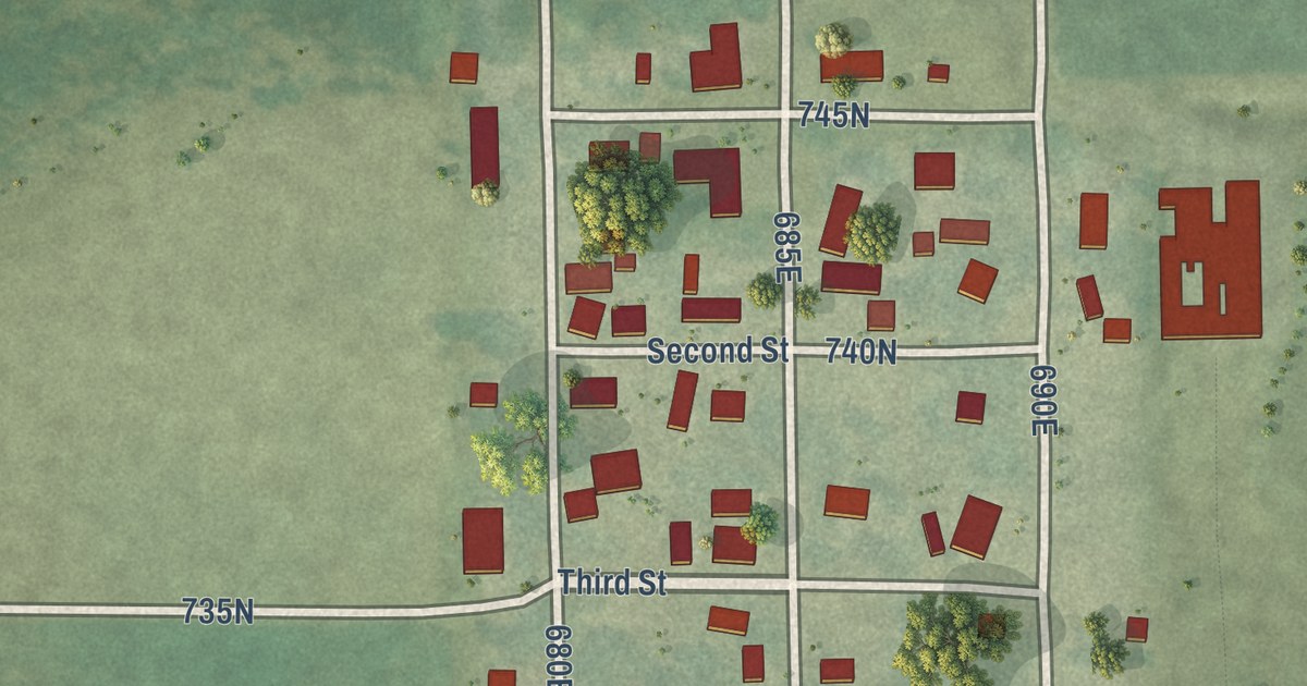
A detailed map of Carman, Illinois, showing every building in its true location, the roads by name, and shaded topographical relief.
Read More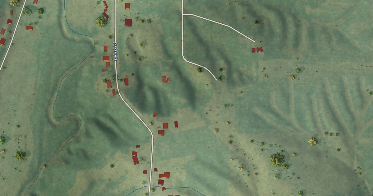
A detailed map of Cable, Illinois, showing every building in its true location, the roads by name, and shaded topographical relief.
Read More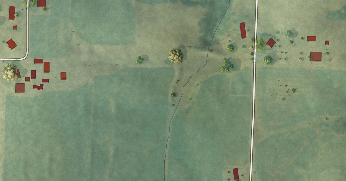
A detailed map of Bloomfield, Illinois, showing every building in its true location, the roads by name, and shaded topographical relief.
Read More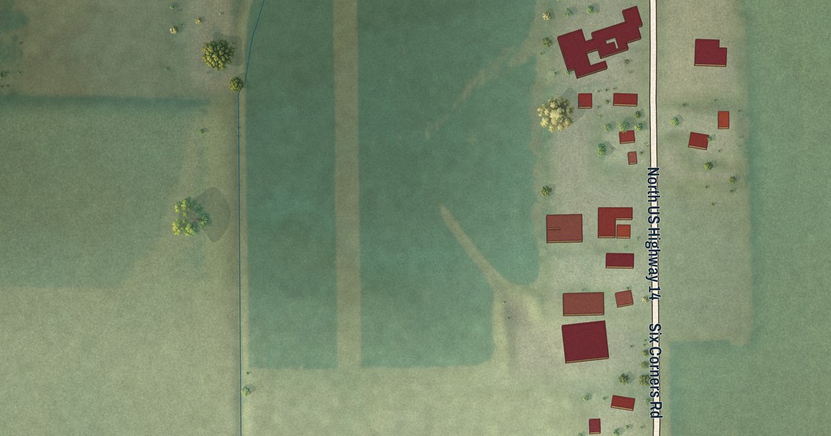
A detailed map of Big Foot Prairie, Illinois, showing every building in its true location, the roads by name, and shaded topographical relief.
Read More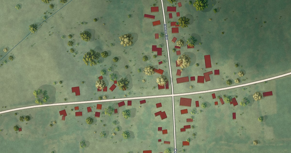
A detailed map of Alden, Illinois, showing every building in its true location, the roads by name, and shaded topographical relief.
Read More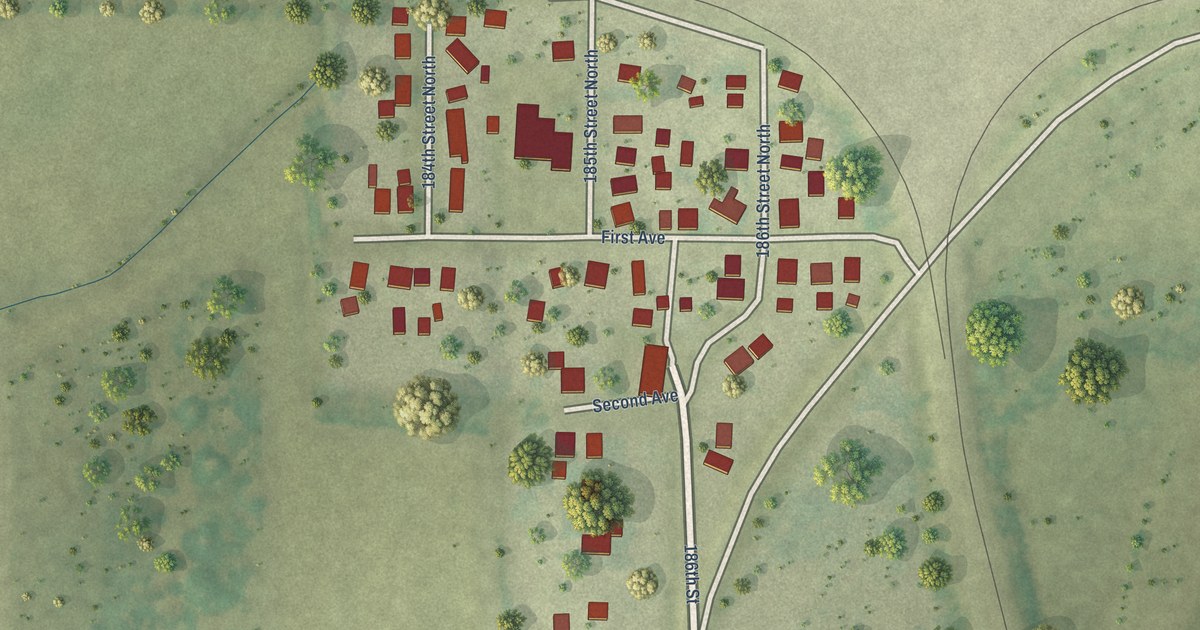
A detailed map of Barstow, Illinois, showing every building in its true location, the roads by name, and shaded topographical relief.
Read More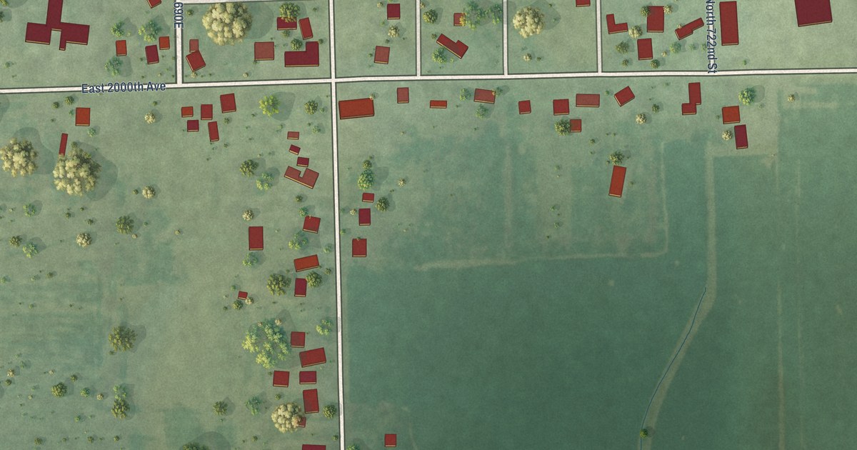
A detailed map of Annapolis, Illinois, showing every building in its true location, the roads by name, and shaded topographical relief.
Read More
A detailed map of Andres, Illinois, showing every building in its true location, the roads by name, and shaded topographical relief.
Read More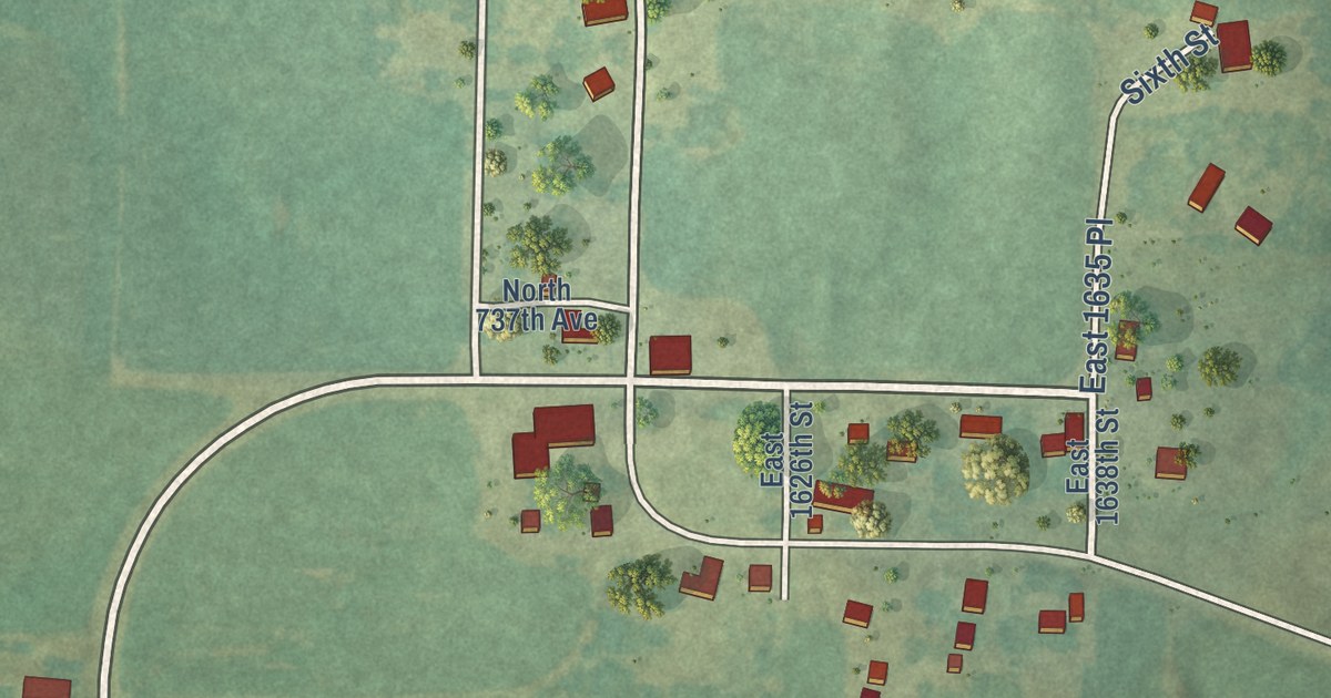
A detailed map of Adams, Illinois, showing every building in its true location, the roads by name, and shaded topographical relief.
Read More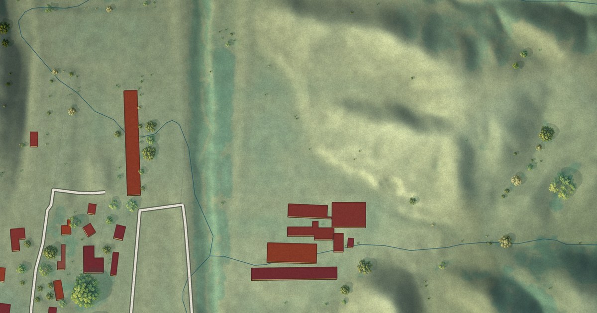
A detailed map of Wolf Creek Colony, South Dakota, showing every building in its true location, the roads by name, and shaded topographical relief.
Read More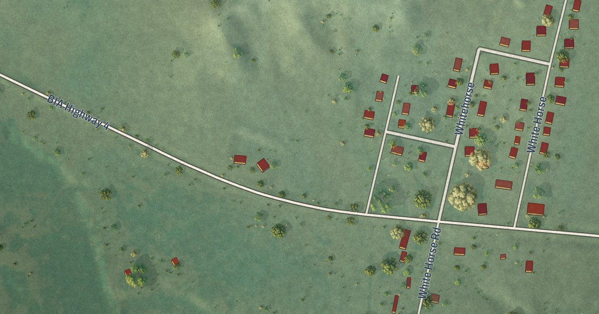
A detailed map of Whitehorse, South Dakota, showing every building in its true location, the roads by name, and shaded topographical relief.
Read More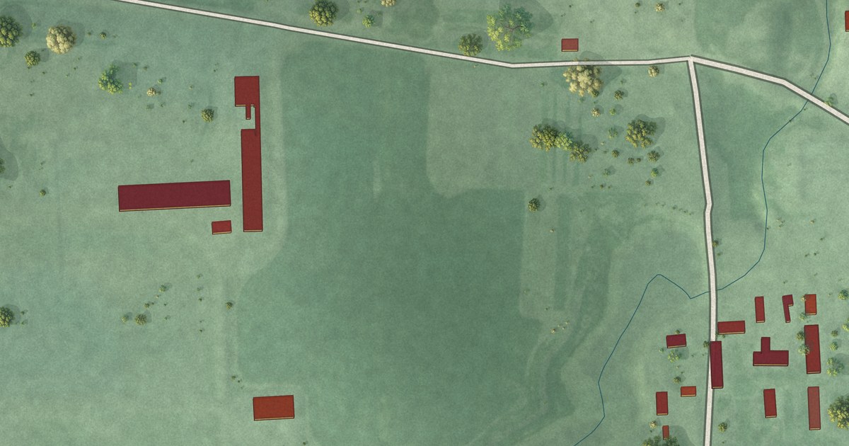
A detailed map of White Rock Colony, South Dakota, showing every building in its true location, the roads by name, and shaded topographical relief.
Read More
A detailed map of Westwood Colony, South Dakota, showing every building in its true location, the roads by name, and shaded topographical relief.
Read More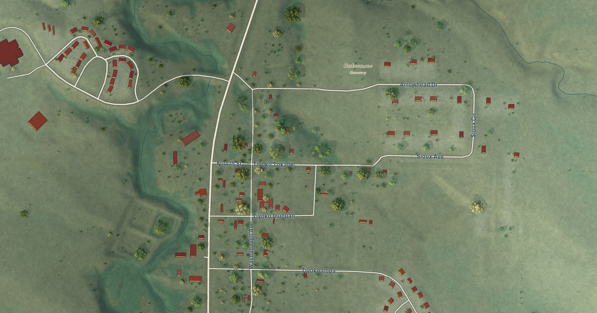
A detailed map of Wanblee, South Dakota, showing every building in its true location, the roads by name, and shaded topographical relief.
Read More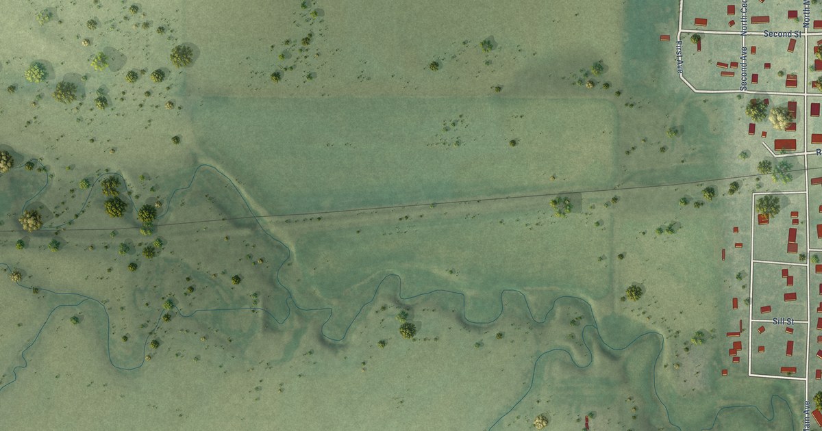
A detailed map of Vivian, South Dakota, showing every building in its true location, the roads by name, and shaded topographical relief.
Read More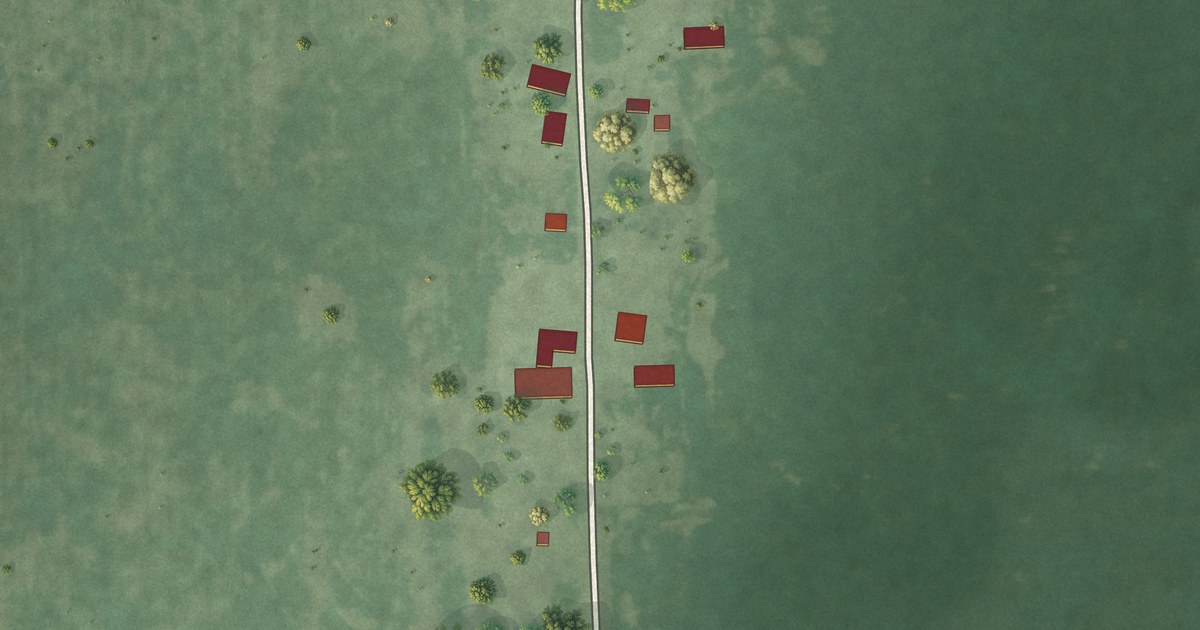
A detailed map of Storla, South Dakota, showing every building in its true location, the roads by name, and shaded topographical relief.
Read More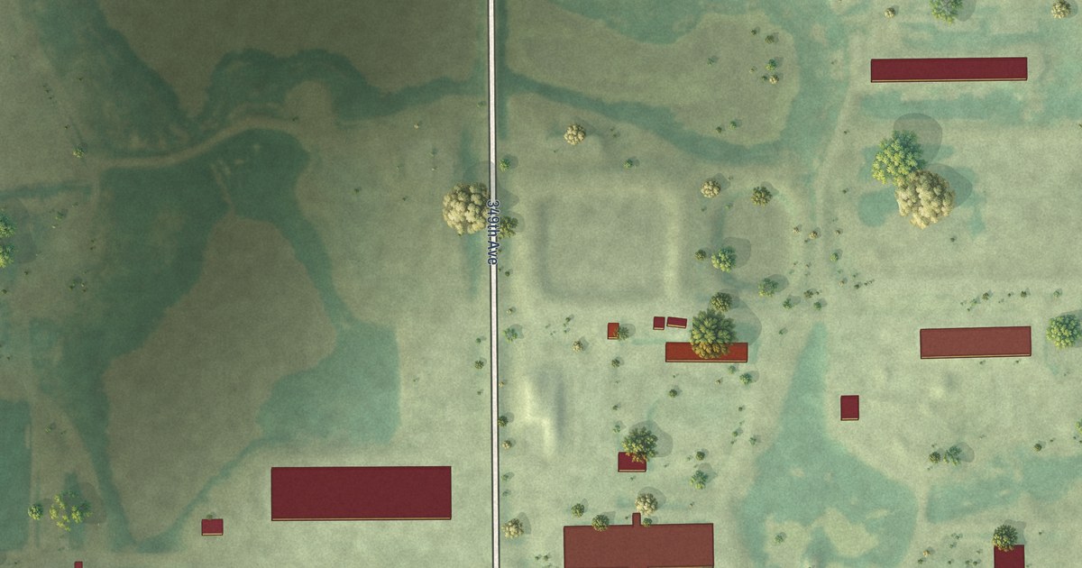
A detailed map of Thunderbird Colony, South Dakota, showing every building in its true location, the roads by name, and shaded topographical relief.
Read More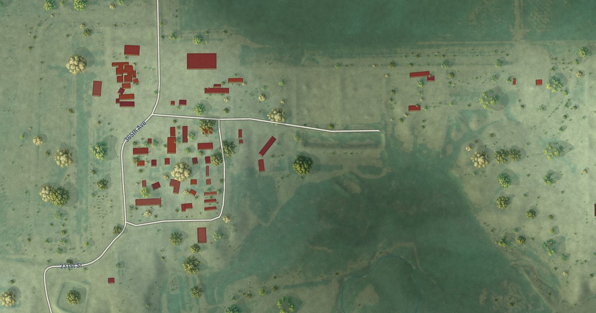
A detailed map of Spring Valley Colony, South Dakota, showing every building in its true location, the roads by name, and shaded topographical relief.
Read More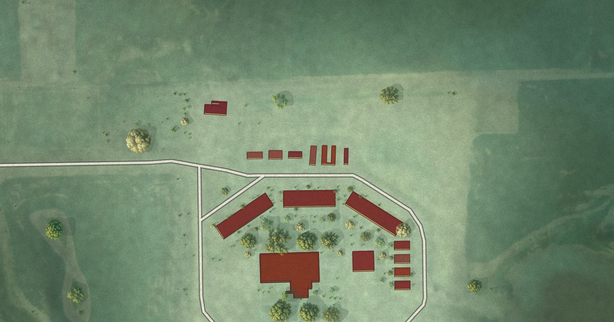
A detailed map of Silver Lake Colony, South Dakota, showing every building in its true location, the roads by name, and shaded topographical relief.
Read More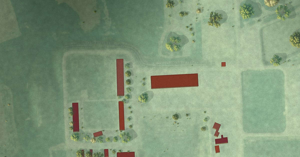
A detailed map of Shannon Colony, South Dakota, showing every building in its true location, the roads by name, and shaded topographical relief.
Read More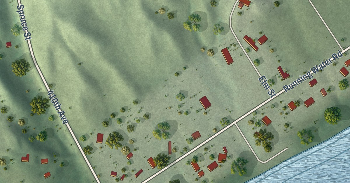
A detailed map of Running Water, South Dakota, showing every building in its true location, the roads by name, and shaded topographical relief.
Read More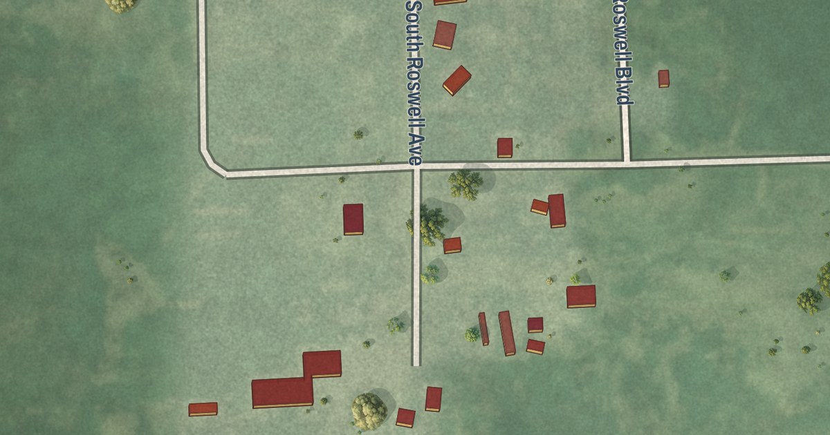
A detailed map of Roswell, South Dakota, showing every building in its true location, the roads by name, and shaded topographical relief.
Read More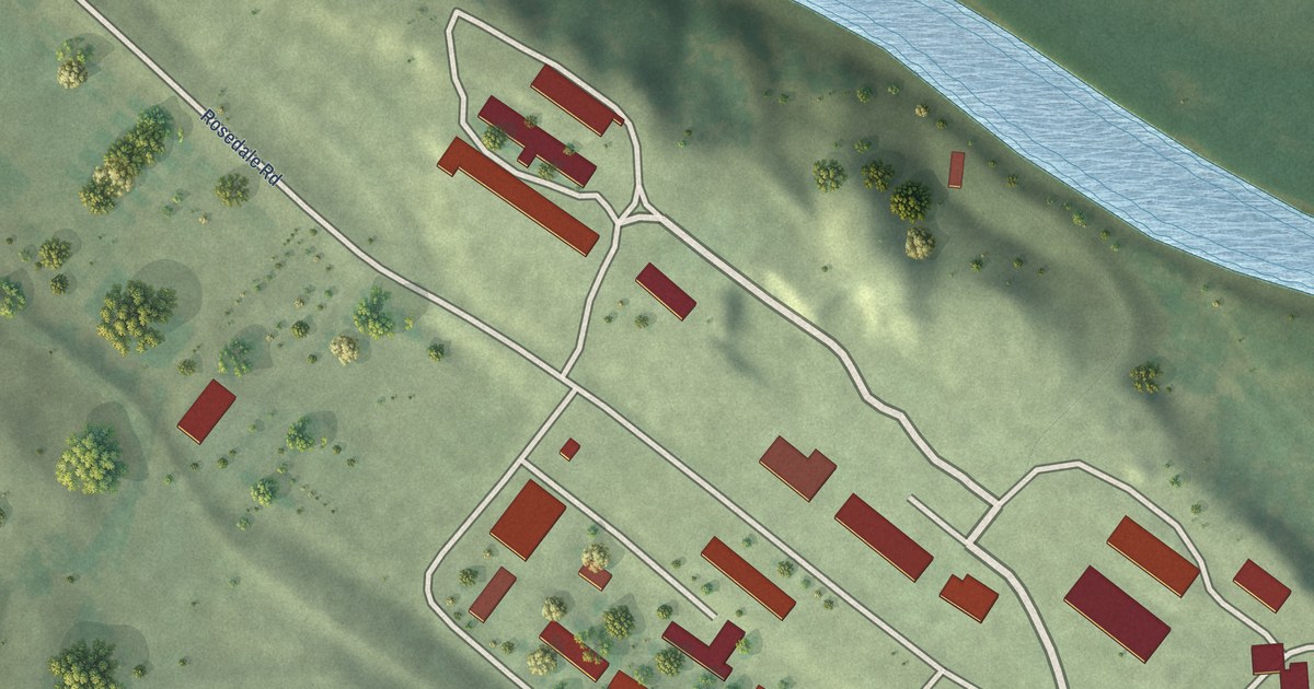
A detailed map of Rosedale Colony, South Dakota, showing every building in its true location, the roads by name, and shaded topographical relief.
Read More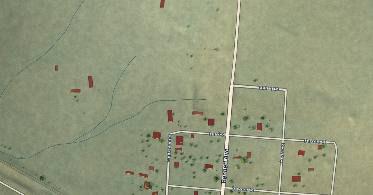
A detailed map of Provo, South Dakota, showing every building in its true location, the roads by name, and shaded topographical relief.
Read More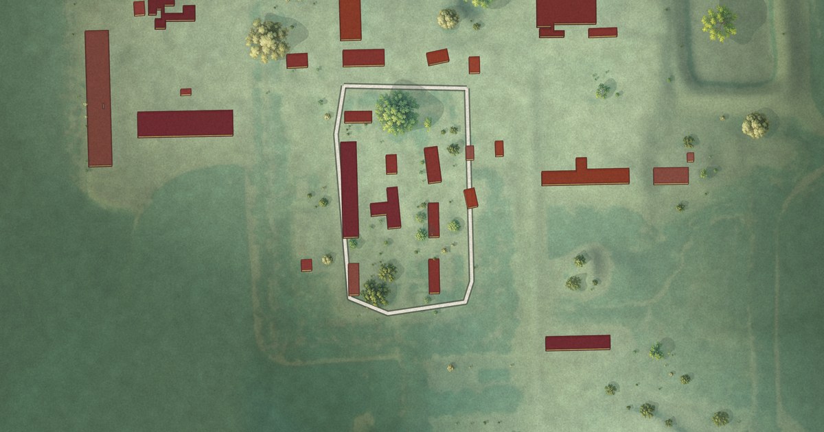
A detailed map of Poinsett Colony, South Dakota, showing every building in its true location, the roads by name, and shaded topographical relief.
Read More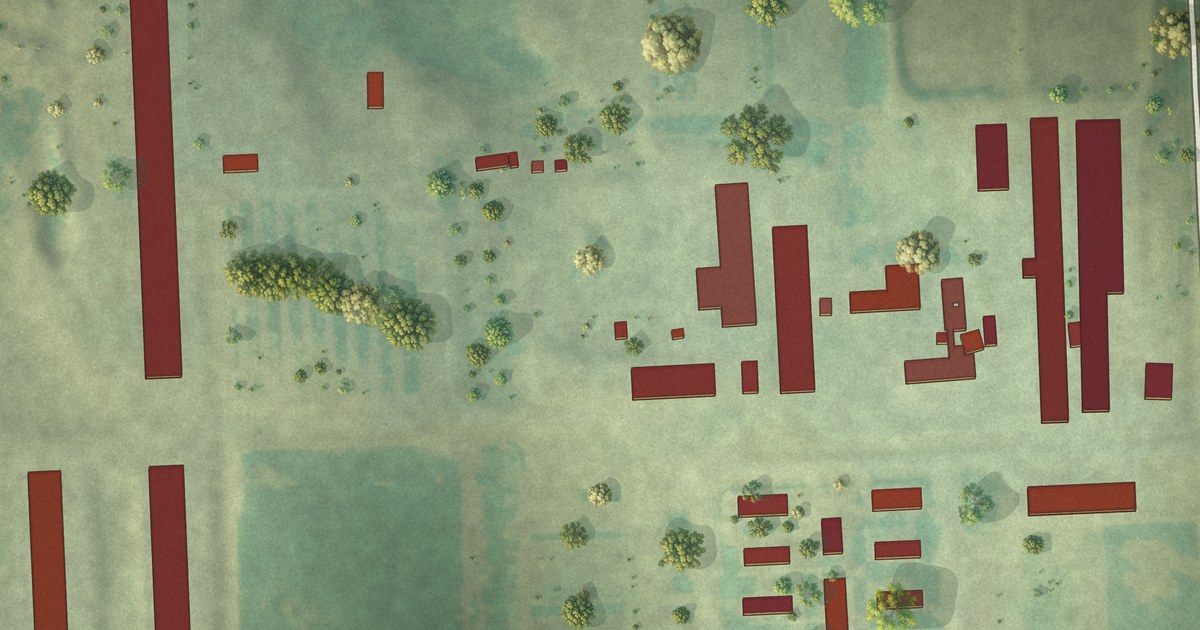
A detailed map of Pleasant Valley Colony, South Dakota, showing every building in its true location, the roads by name, and shaded topographical relief.
Read More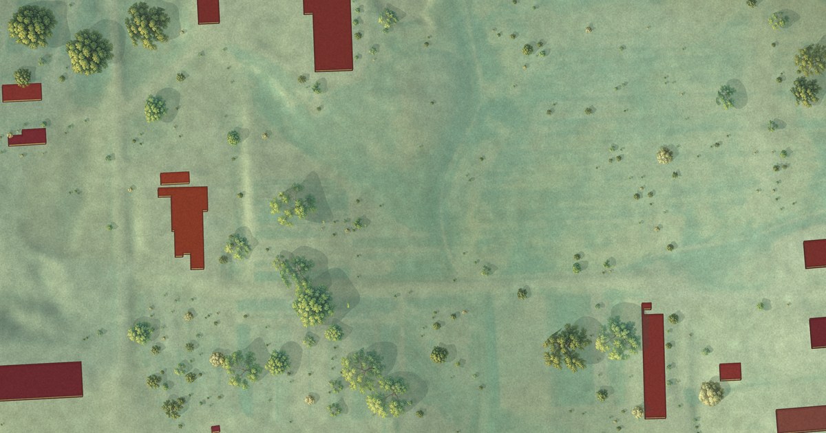
A detailed map of Orland Colony, South Dakota, showing every building in its true location, the roads by name, and shaded topographical relief.
Read More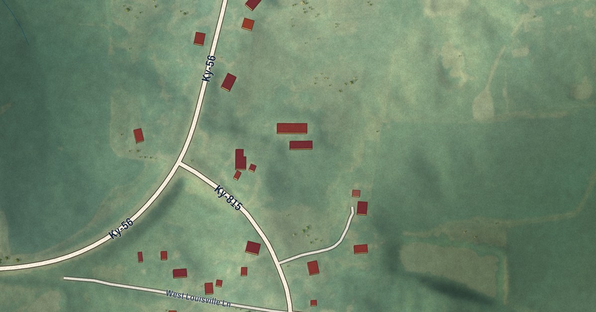
A detailed map of West Louisville, Kentucky, showing every building in its true location, the roads by name, and shaded topographical relief.
Read More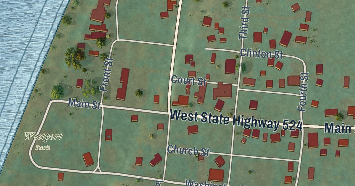
A detailed map of Westport, Kentucky, showing every building in its true location, the roads by name, and shaded topographical relief.
Read More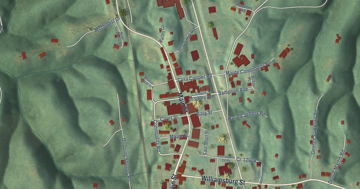
A detailed map of Whitley City, Kentucky, showing every building in its true location, the roads by name, and shaded topographical relief.
Read More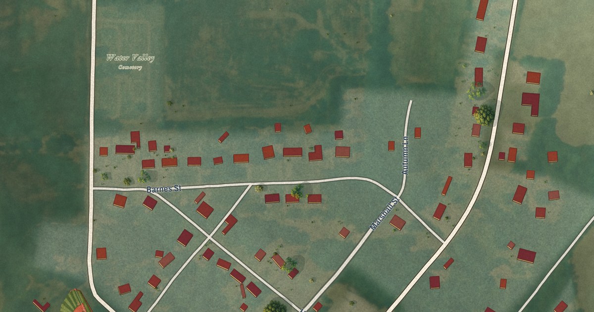
A detailed map of Water Valley, Kentucky, showing every building in its true location, the roads by name, and shaded topographical relief.
Read More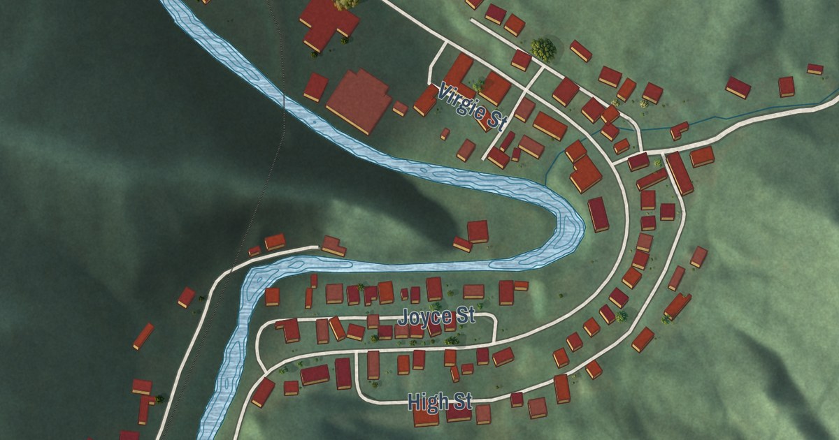
A detailed map of Virgie, Kentucky, showing every building in its true location, the roads by name, and shaded topographical relief.
Read More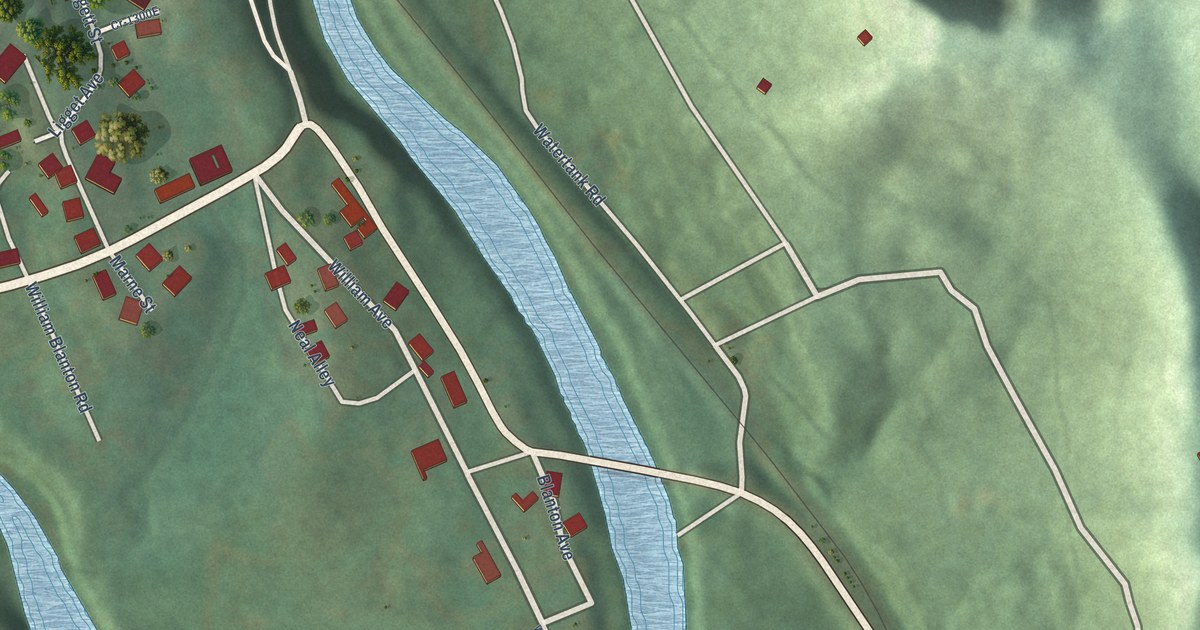
A detailed map of Wallins Creek, Kentucky, showing every building in its true location, the roads by name, and shaded topographical relief.
Read More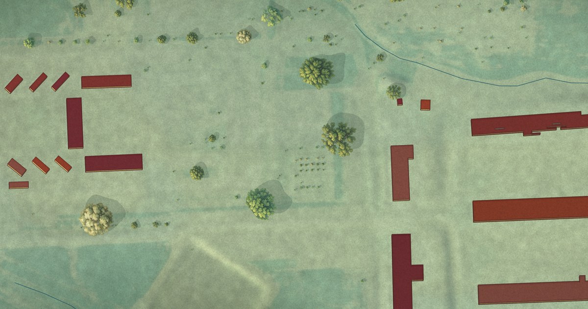
A detailed map of Norfeld Colony, South Dakota, showing every building in its true location, the roads by name, and shaded topographical relief.
Read More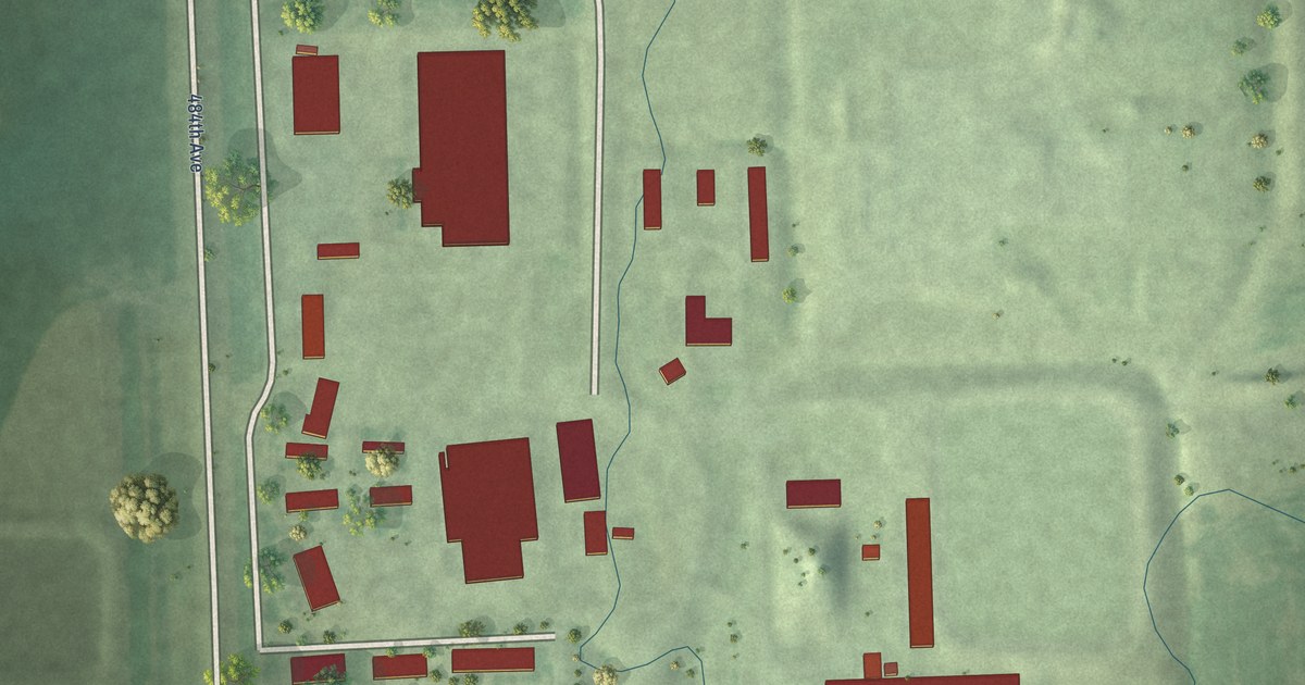
A detailed map of Newdale Colony, South Dakota, showing every building in its true location, the roads by name, and shaded topographical relief.
Read More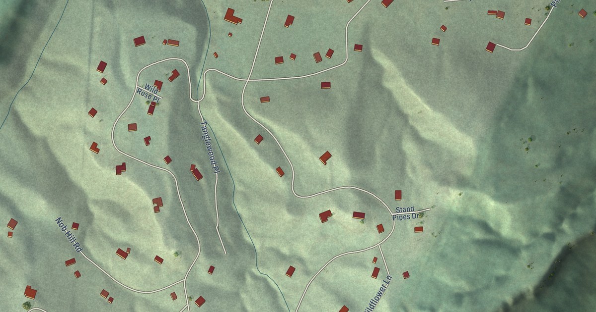
A detailed map of Mountain Plains, South Dakota, showing every building in its true location, the roads by name, and shaded topographical relief.
Read More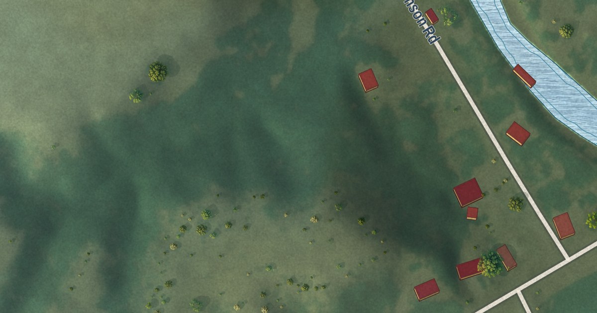
A detailed map of Milltown, South Dakota, showing every building in its true location, the roads by name, and shaded topographical relief.
Read More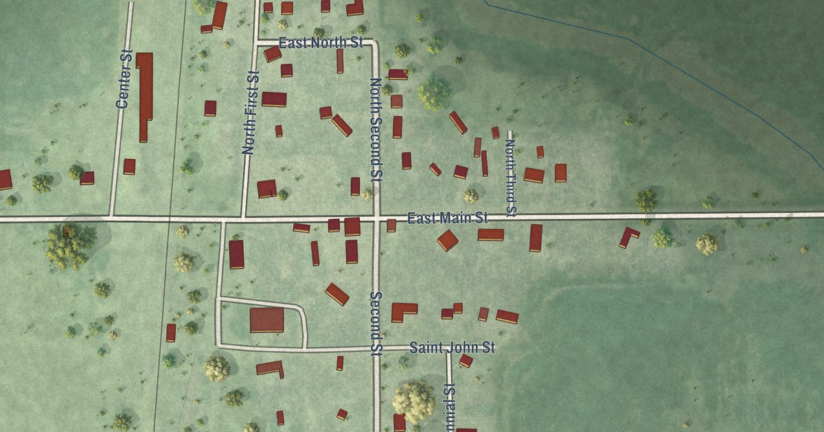
A detailed map of Mansfield, South Dakota, showing every building in its true location, the roads by name, and shaded topographical relief.
Read More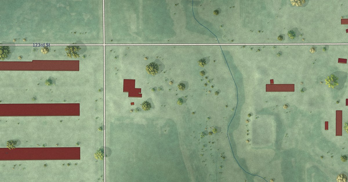
A detailed map of Long Lake Colony, South Dakota, showing every building in its true location, the roads by name, and shaded topographical relief.
Read More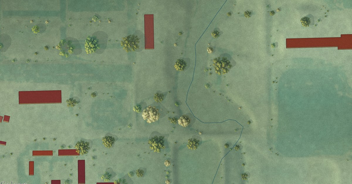
A detailed map of Lakeview Colony, South Dakota, showing every building in its true location, the roads by name, and shaded topographical relief.
Read More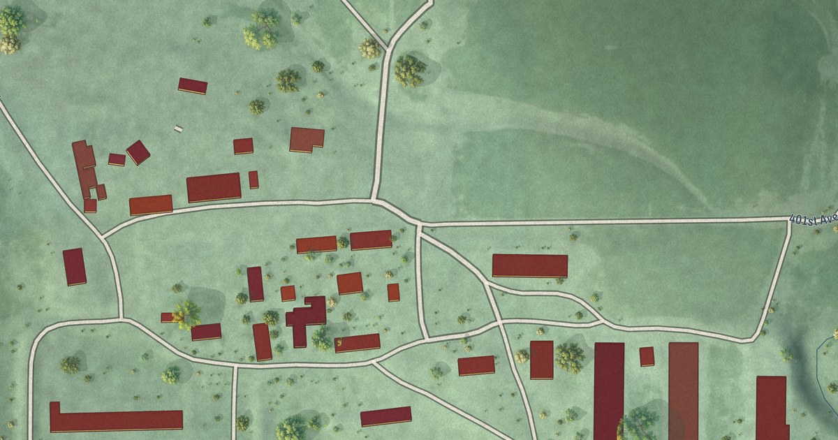
A detailed map of Huron Colony, South Dakota, showing every building in its true location, the roads by name, and shaded topographical relief.
Read More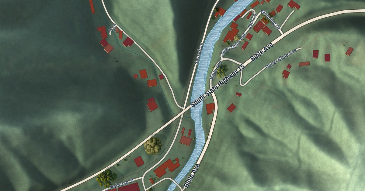
A detailed map of Vicco, Kentucky, showing every building in its true location, the roads by name, and shaded topographical relief.
Read More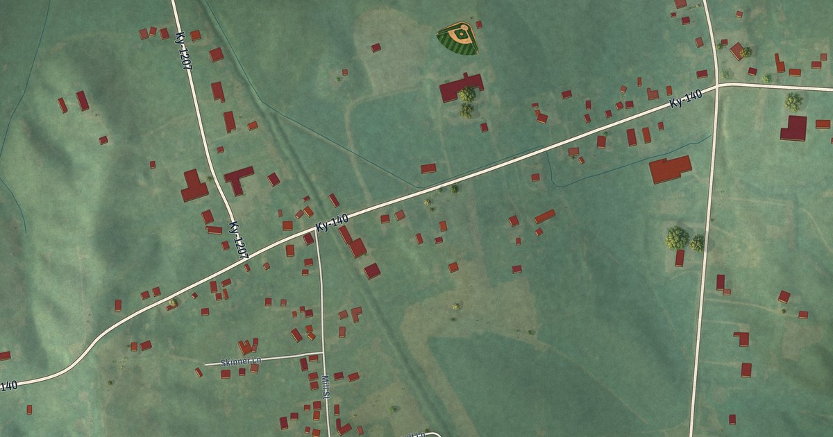
A detailed map of Utica, Kentucky, showing every building in its true location, the roads by name, and shaded topographical relief.
Read More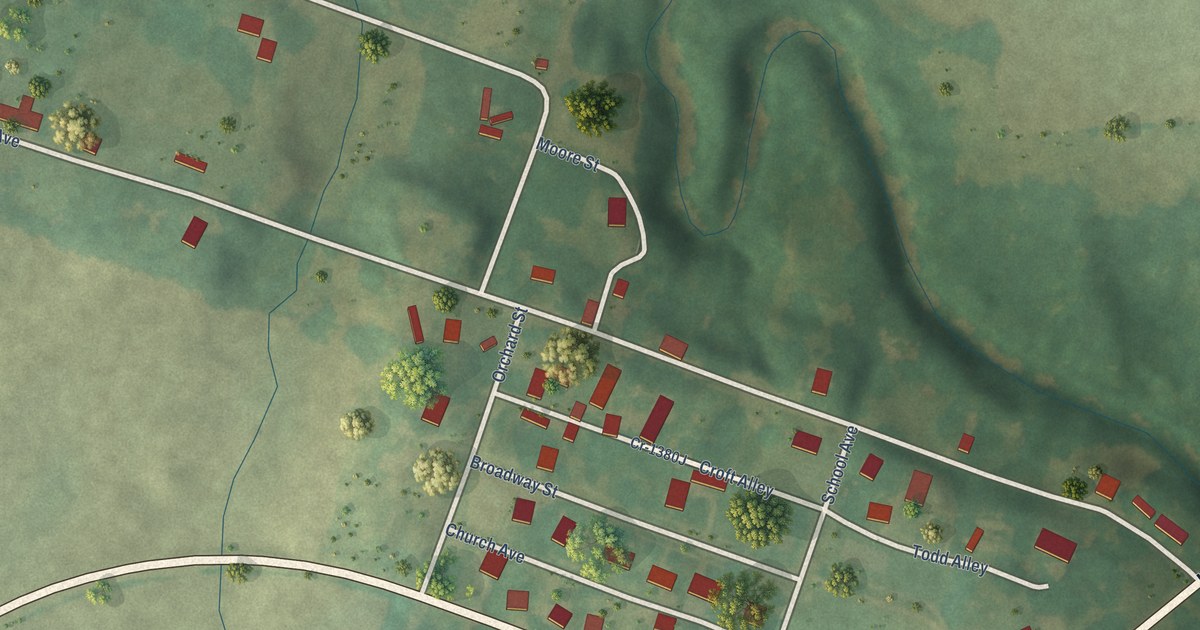
A detailed map of Tolu, Kentucky, showing every building in its true location, the roads by name, and shaded topographical relief.
Read More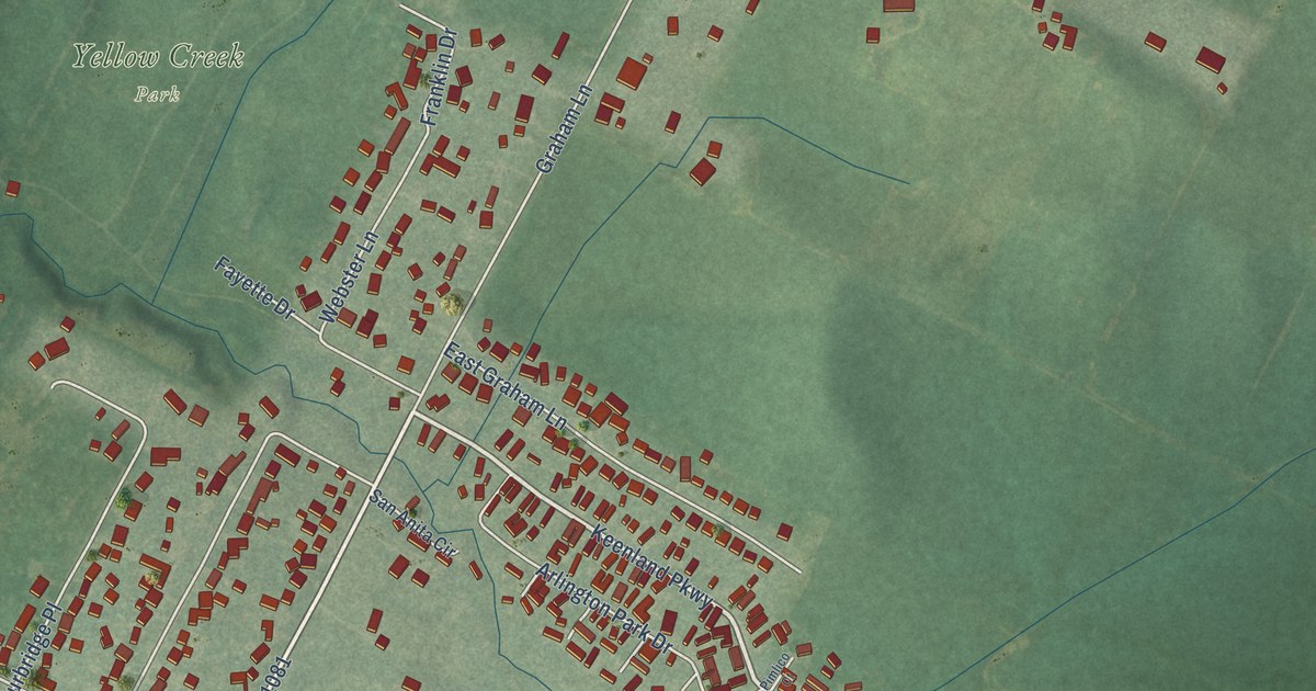
A detailed map of Thruston, Kentucky, showing every building in its true location, the roads by name, and shaded topographical relief.
Read More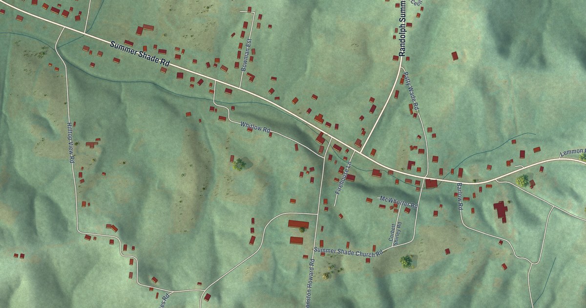
A detailed map of Summer Shade, Kentucky, showing every building in its true location, the roads by name, and shaded topographical relief.
Read More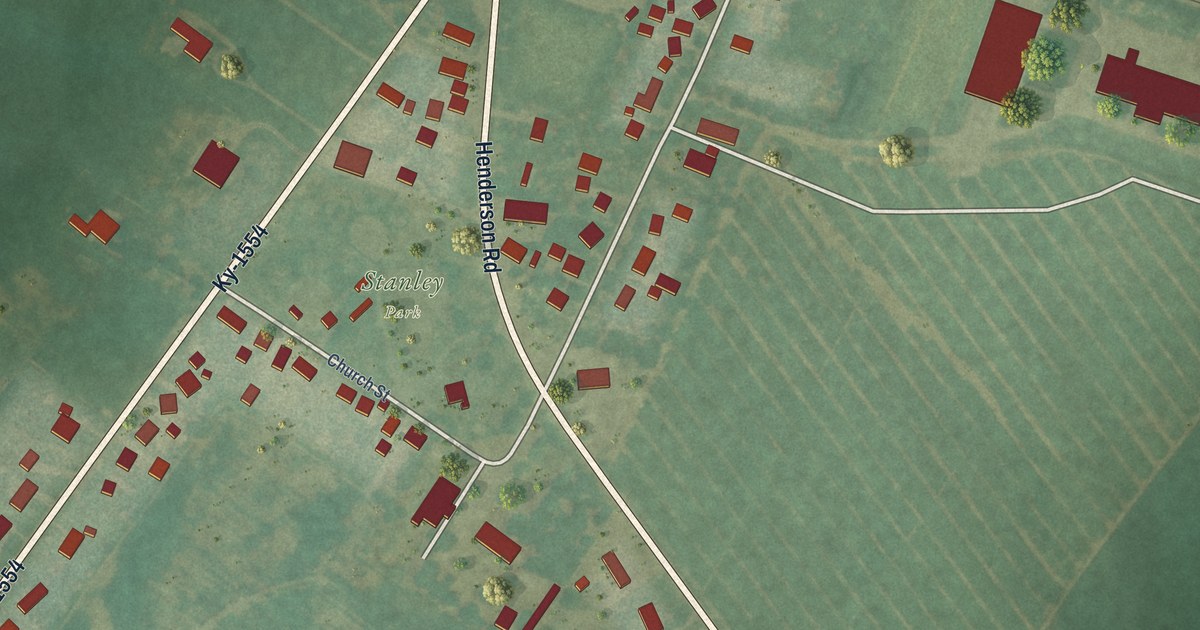
A detailed map of Stanley, Kentucky, showing every building in its true location, the roads by name, and shaded topographical relief.
Read More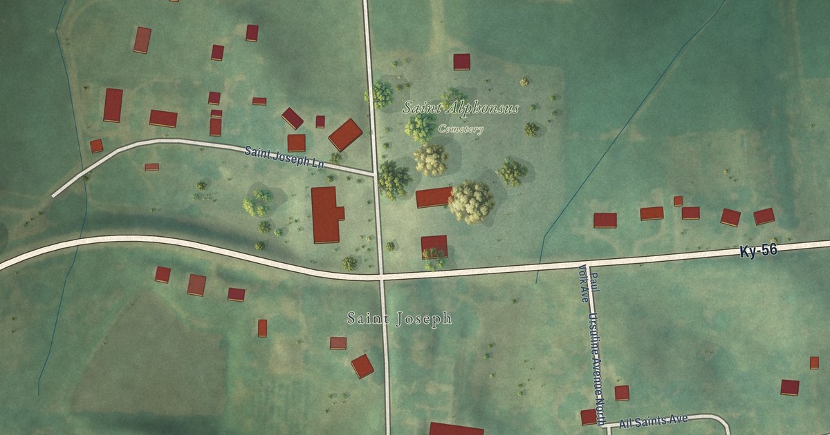
A detailed map of St. Joseph, Kentucky, showing every building in its true location, the roads by name, and shaded topographical relief.
Read More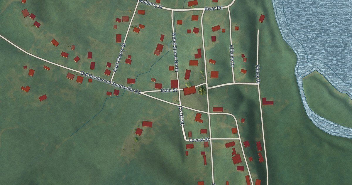
A detailed map of Spottsville, Kentucky, showing every building in its true location, the roads by name, and shaded topographical relief.
Read More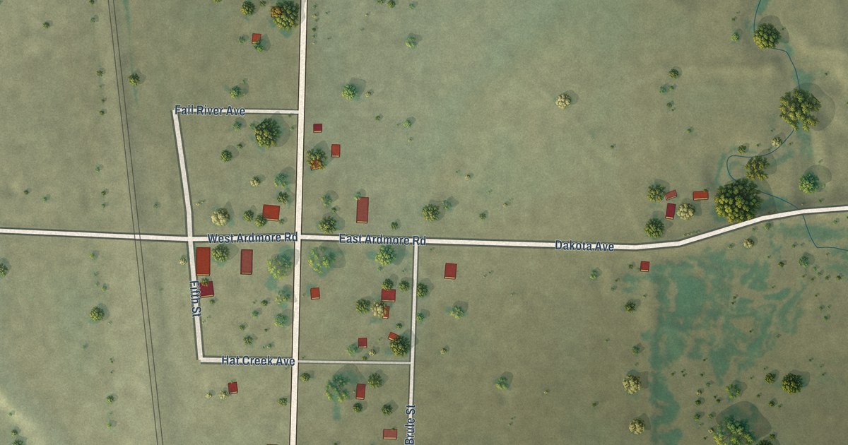
A detailed map of Ardmore, South Dakota, showing every building in its true location, the roads by name, and shaded topographical relief.
Read More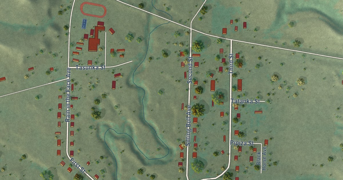
A detailed map of Bullhead, South Dakota, showing every building in its true location, the roads by name, and shaded topographical relief.
Read More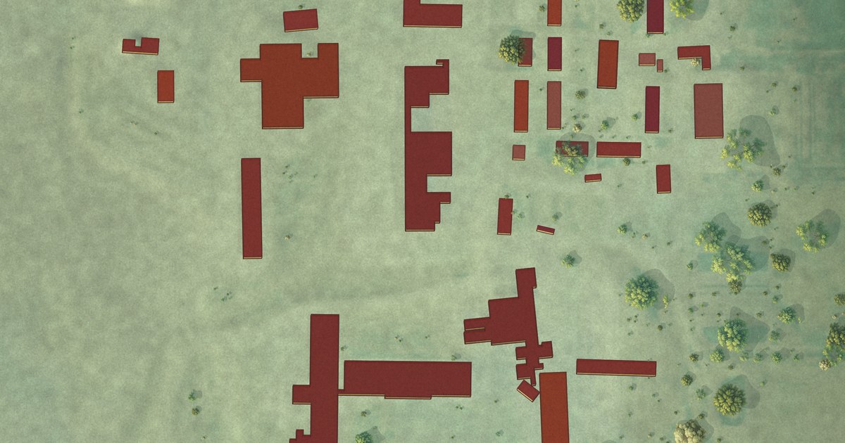
A detailed map of Blumengard Colony, South Dakota, showing every building in its true location, the roads by name, and shaded topographical relief.
Read More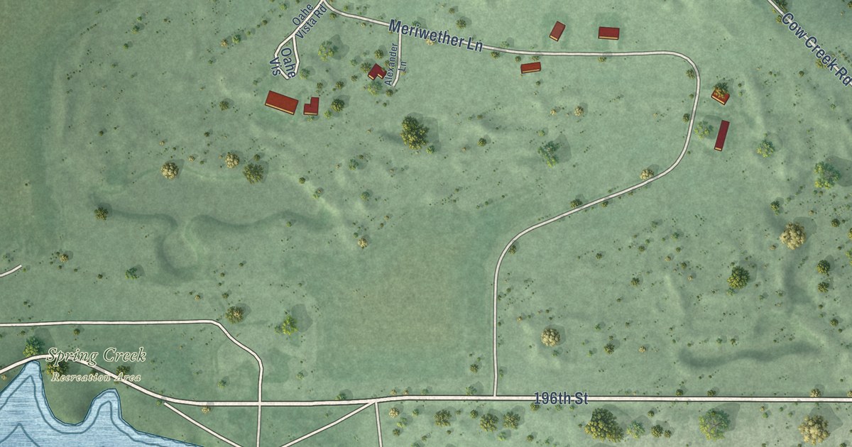
A detailed map of Cow Creek, South Dakota, showing every building in its true location, the roads by name, and shaded topographical relief.
Read More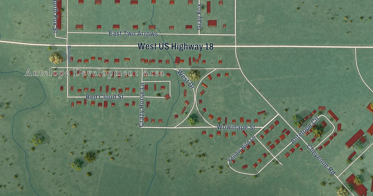
A detailed map of Antelope, South Dakota, showing every building in its true location, the roads by name, and shaded topographical relief.
Read More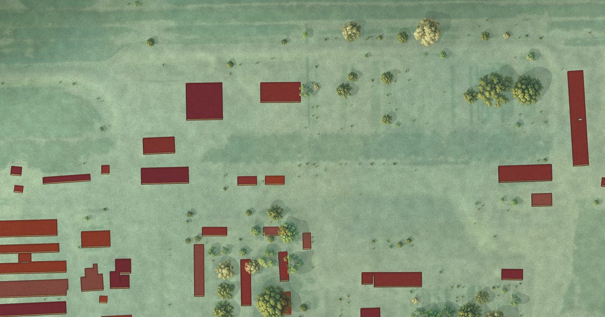
A detailed map of Fordham Colony, South Dakota, showing every building in its true location, the roads by name, and shaded topographical relief.
Read More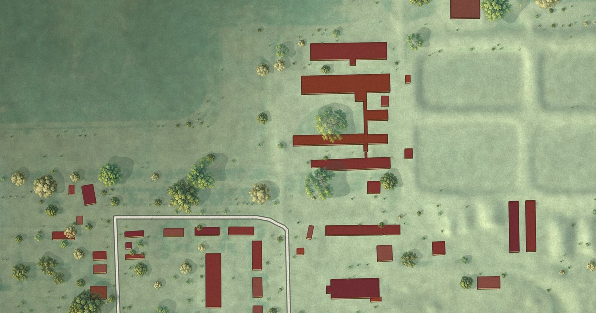
A detailed map of Cedar Grove Colony, South Dakota, showing every building in its true location, the roads by name, and shaded topographical relief.
Read More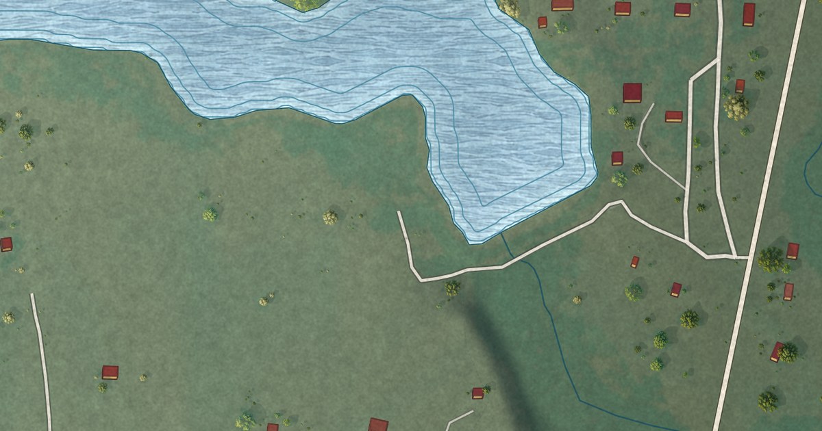
A detailed map of Corn Creek, South Dakota, showing every building in its true location, the roads by name, and shaded topographical relief.
Read More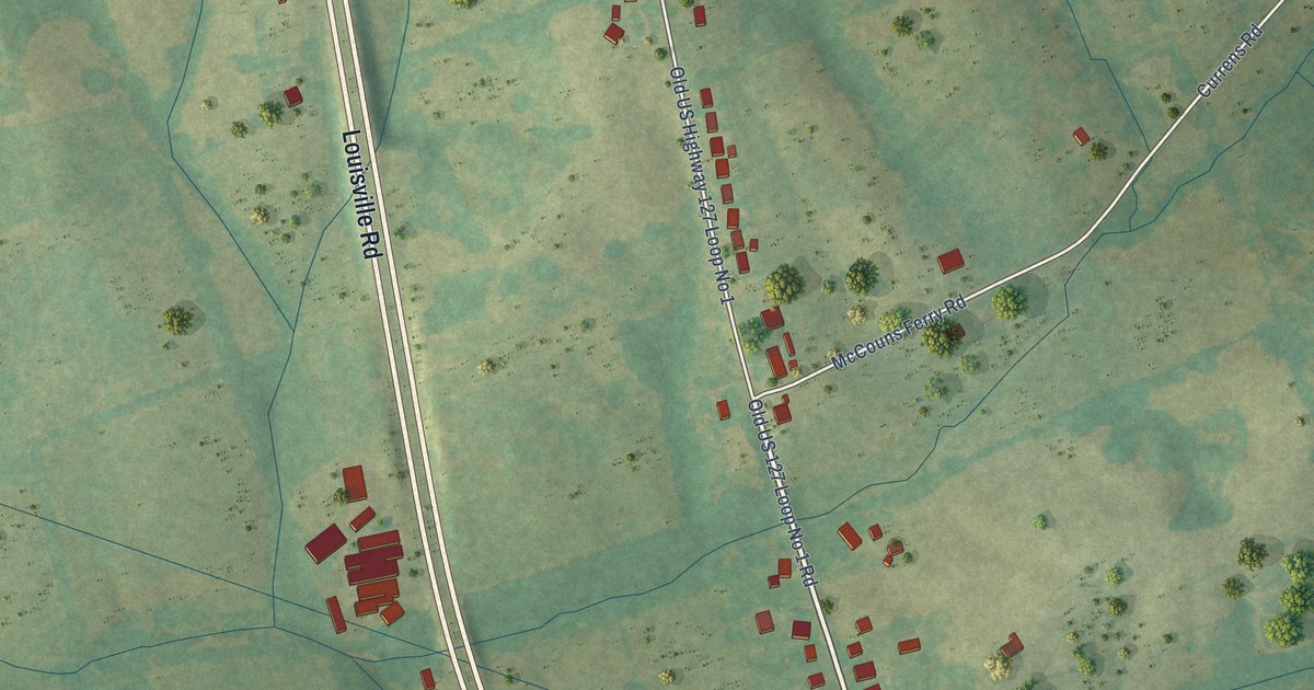
A detailed map of Salvisa, Kentucky, showing every building in its true location, the roads by name, and shaded topographical relief.
Read More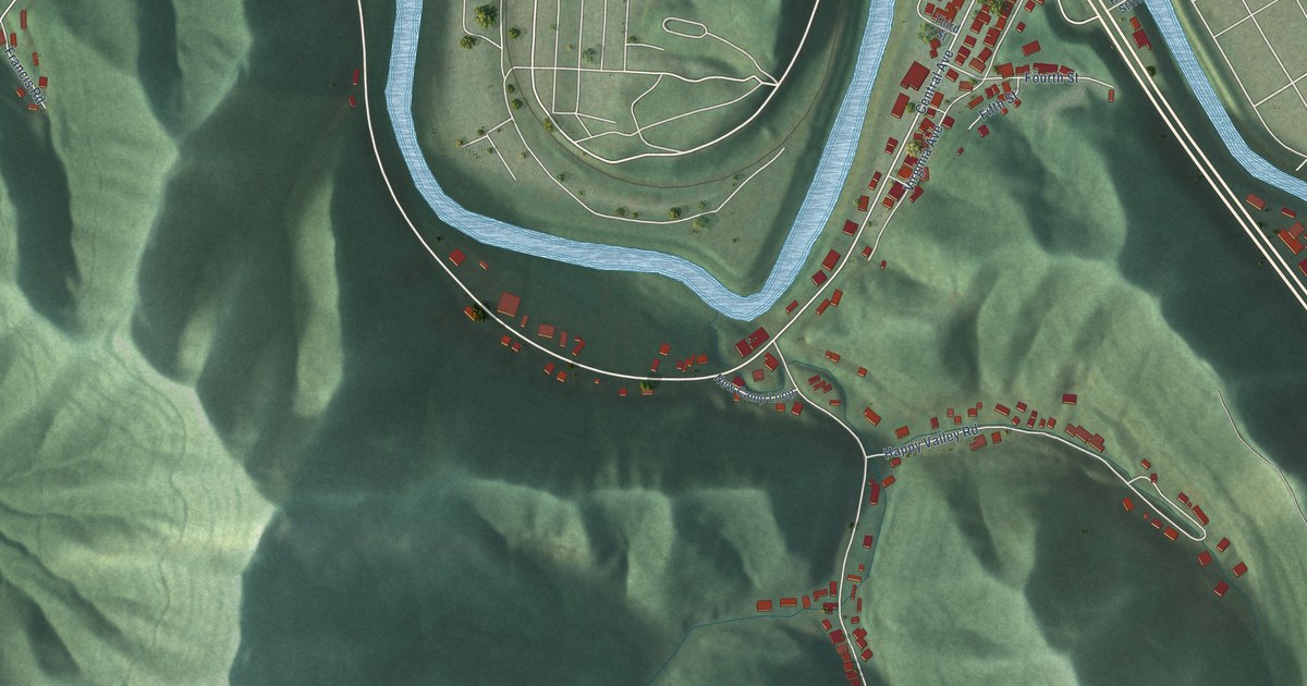
A detailed map of South Williamson, Kentucky, showing every building in its true location, the roads by name, and shaded topographical relief.
Read More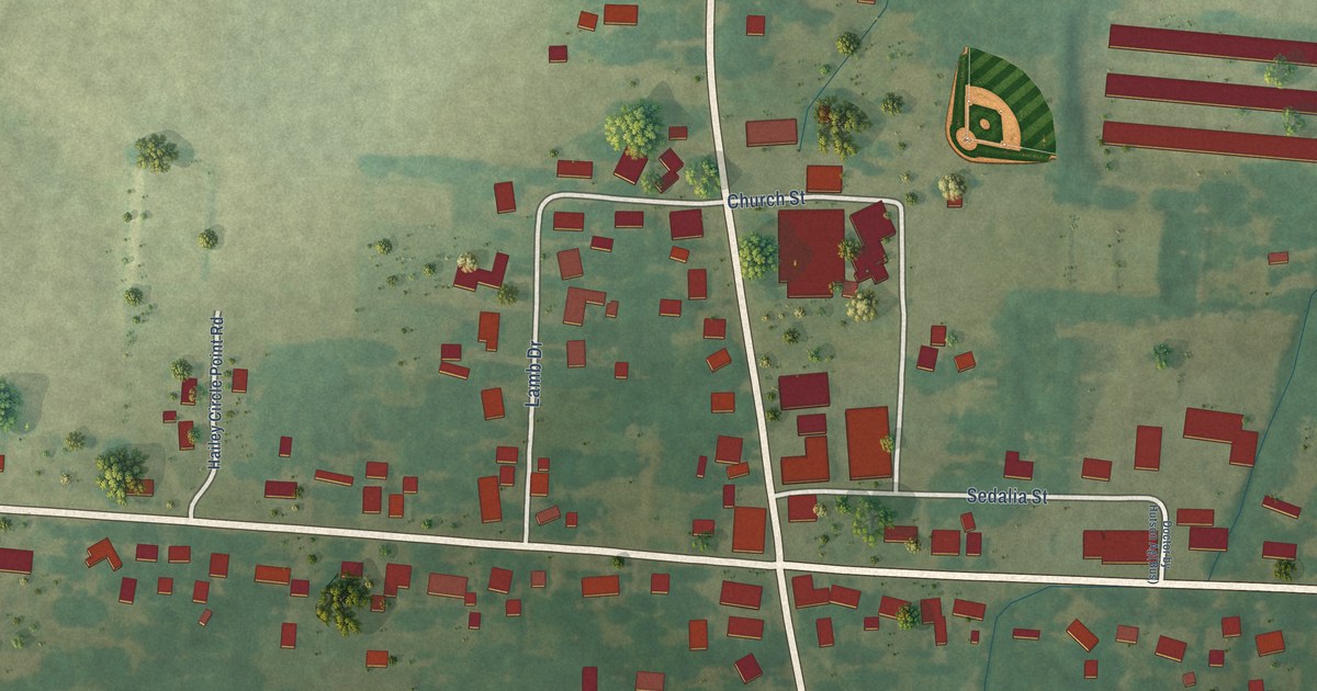
A detailed map of Sedalia, Kentucky, showing every building in its true location, the roads by name, and shaded topographical relief.
Read More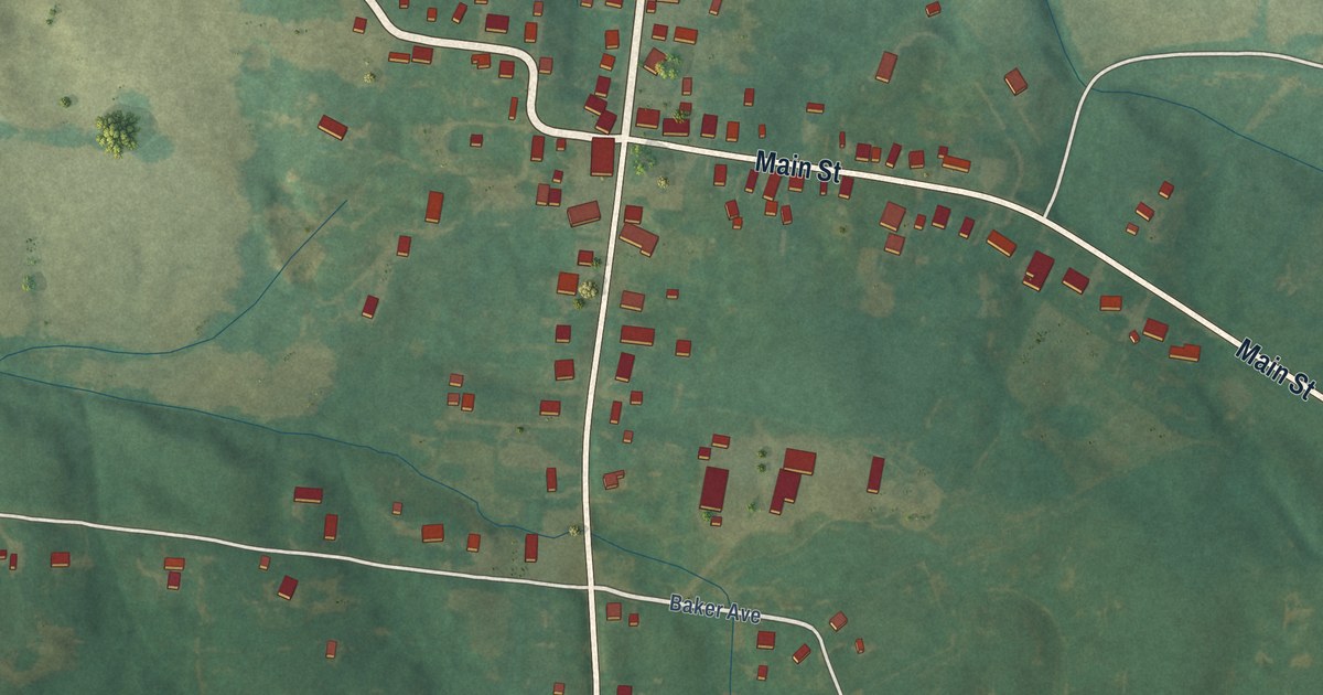
A detailed map of Poole, Kentucky, showing every building in its true location, the roads by name, and shaded topographical relief.
Read More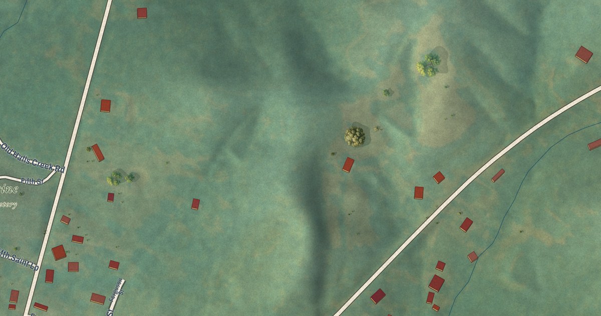
A detailed map of Rosine, Kentucky, showing every building in its true location, the roads by name, and shaded topographical relief.
Read More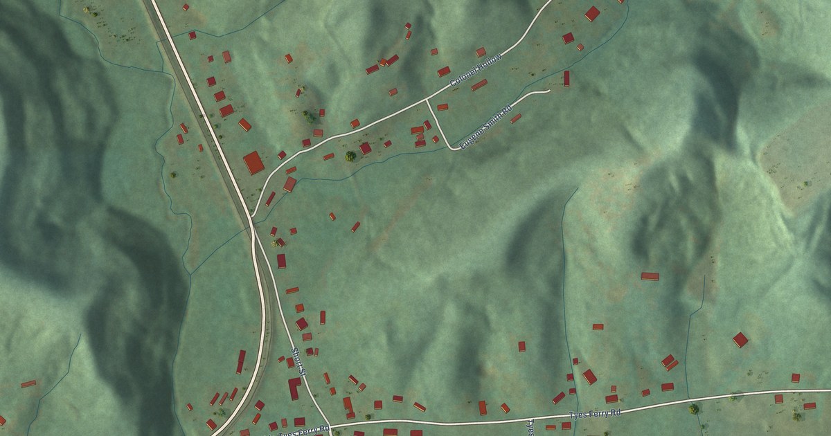
A detailed map of Rockholds, Kentucky, showing every building in its true location, the roads by name, and shaded topographical relief.
Read More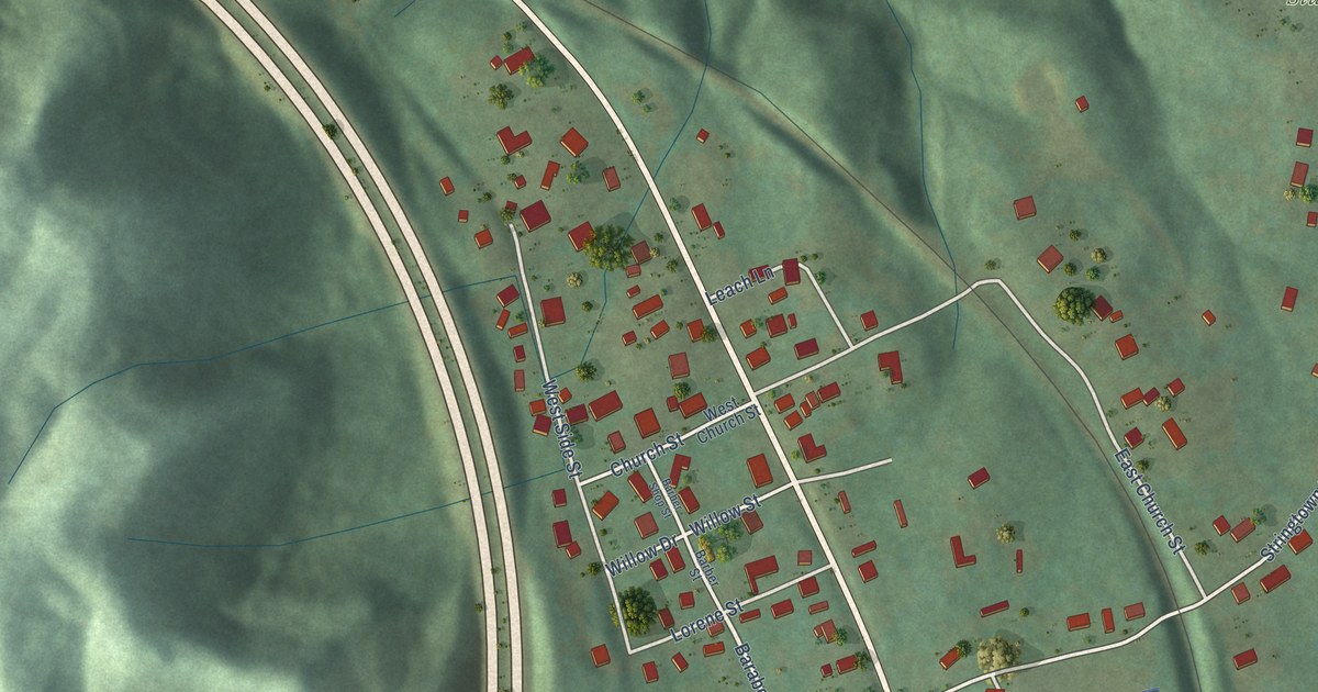
A detailed map of Pleasant View, Kentucky, showing every building in its true location, the roads by name, and shaded topographical relief.
Read More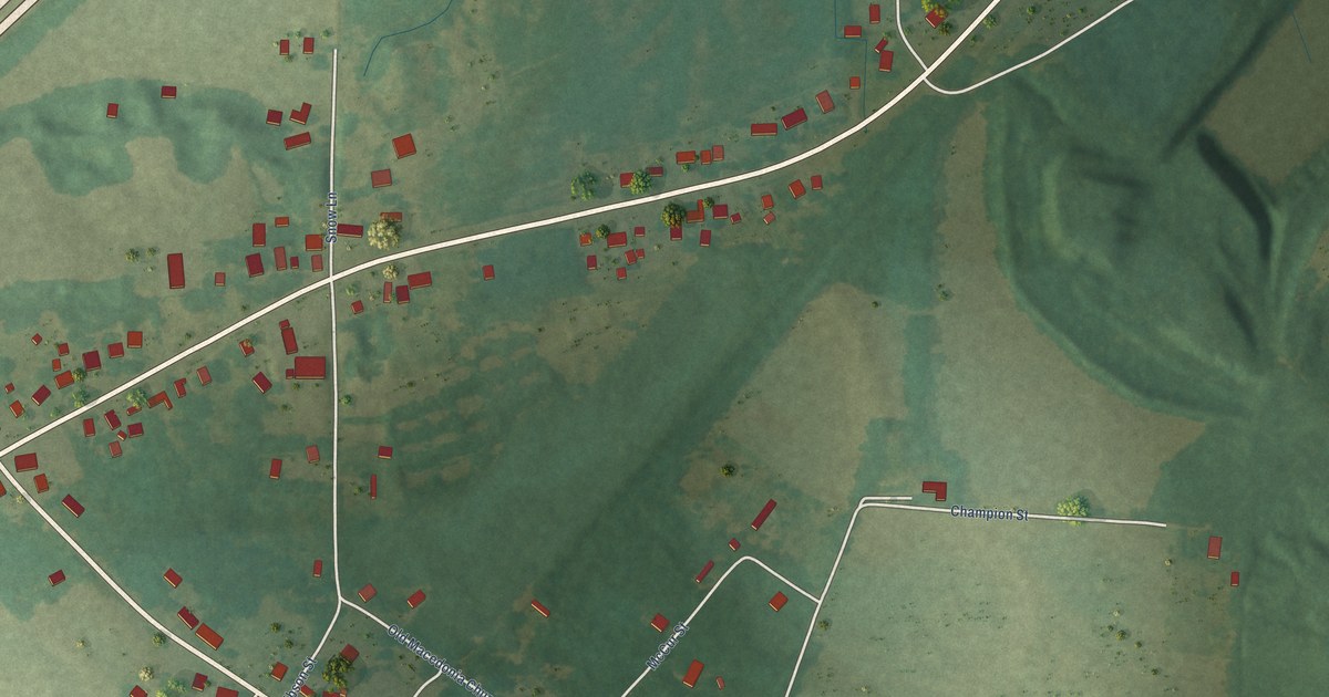
A detailed map of Pryorsburg, Kentucky, showing every building in its true location, the roads by name, and shaded topographical relief.
Read More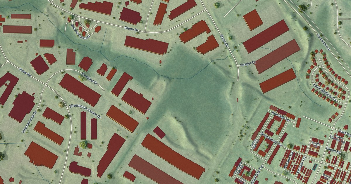
A detailed map of Oak Grove, Virginia, showing every building in its true location, the roads by name, and shaded topographical relief.
Read More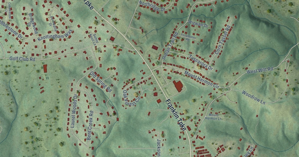
A detailed map of Mount Hermon, Virginia, showing every building in its true location, the roads by name, and shaded topographical relief.
Read More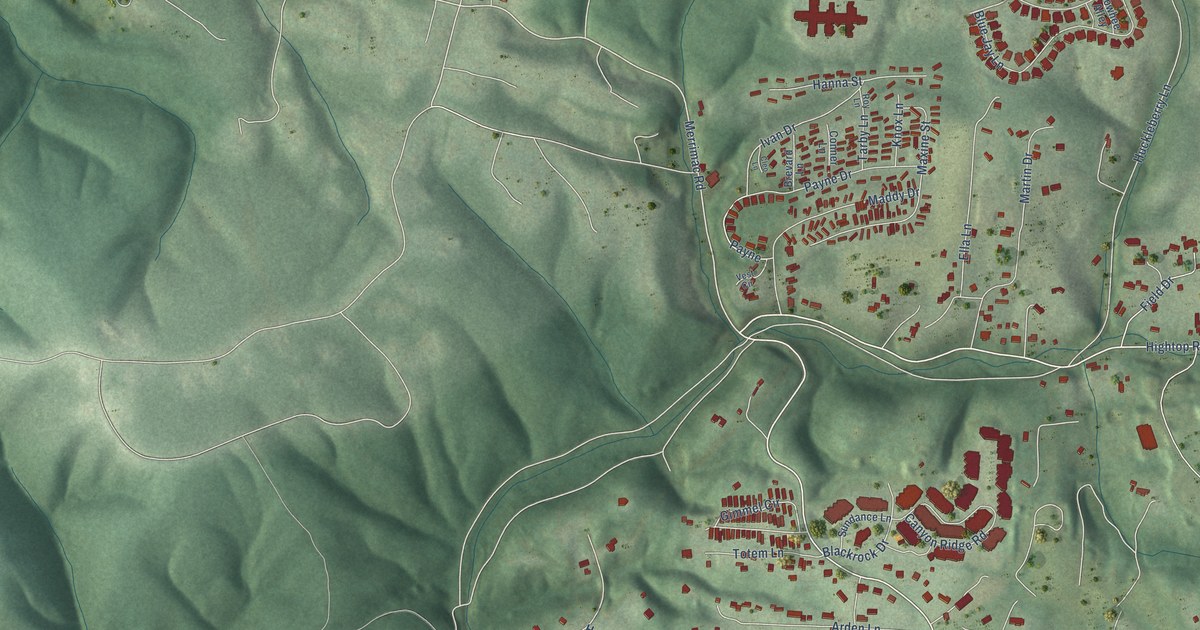
A detailed map of Merrimac, Virginia, showing every building in its true location, the roads by name, and shaded topographical relief.
Read More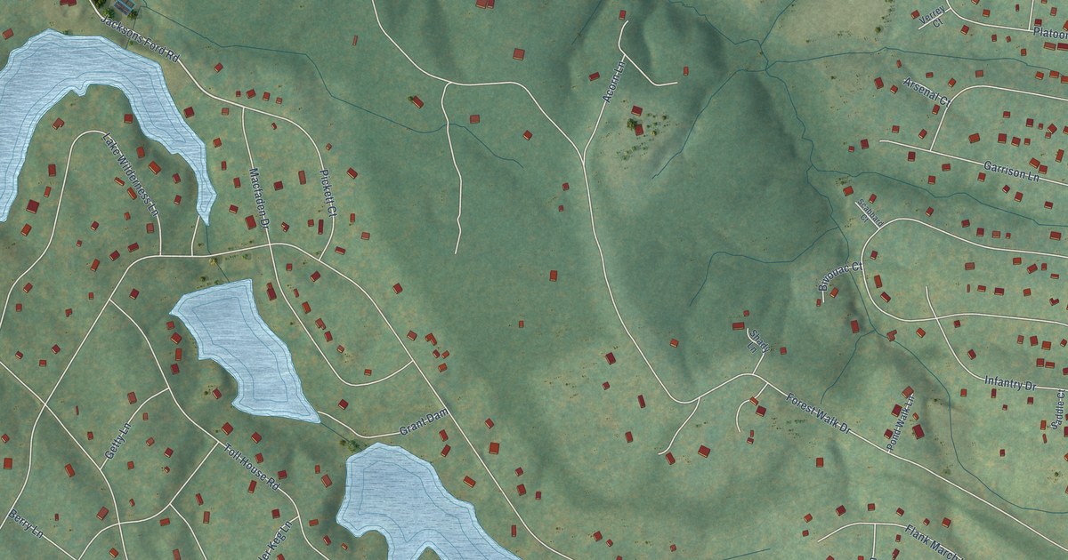
A detailed map of Lake Wilderness, Virginia, showing every building in its true location, the roads by name, and shaded topographical relief.
Read More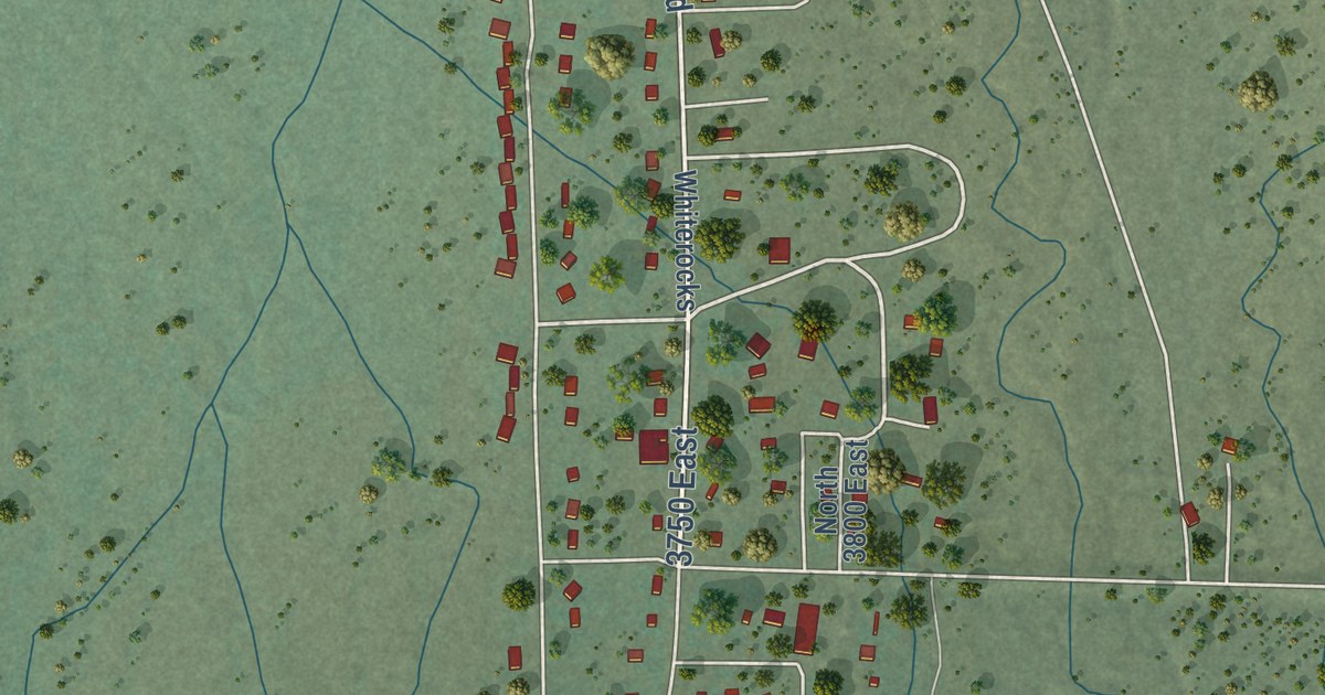
A detailed map of Whiterocks, Utah, showing every building in its true location, the roads by name, and shaded topographical relief.
Read More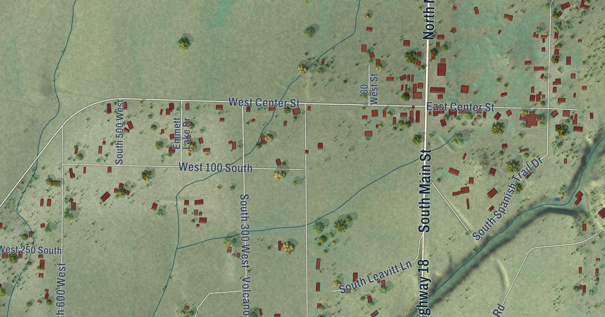
A detailed map of Veyo, Utah, showing every building in its true location, the roads by name, and shaded topographical relief.
Read More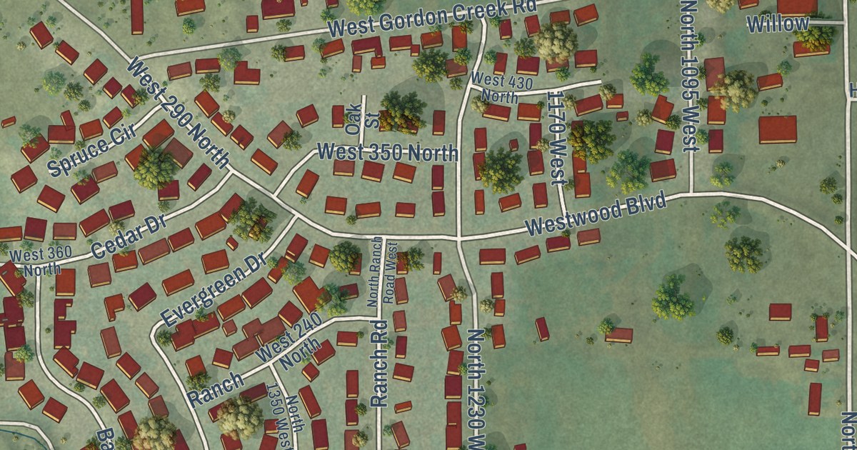
A detailed map of West Wood, Utah, showing every building in its true location, the roads by name, and shaded topographical relief.
Read More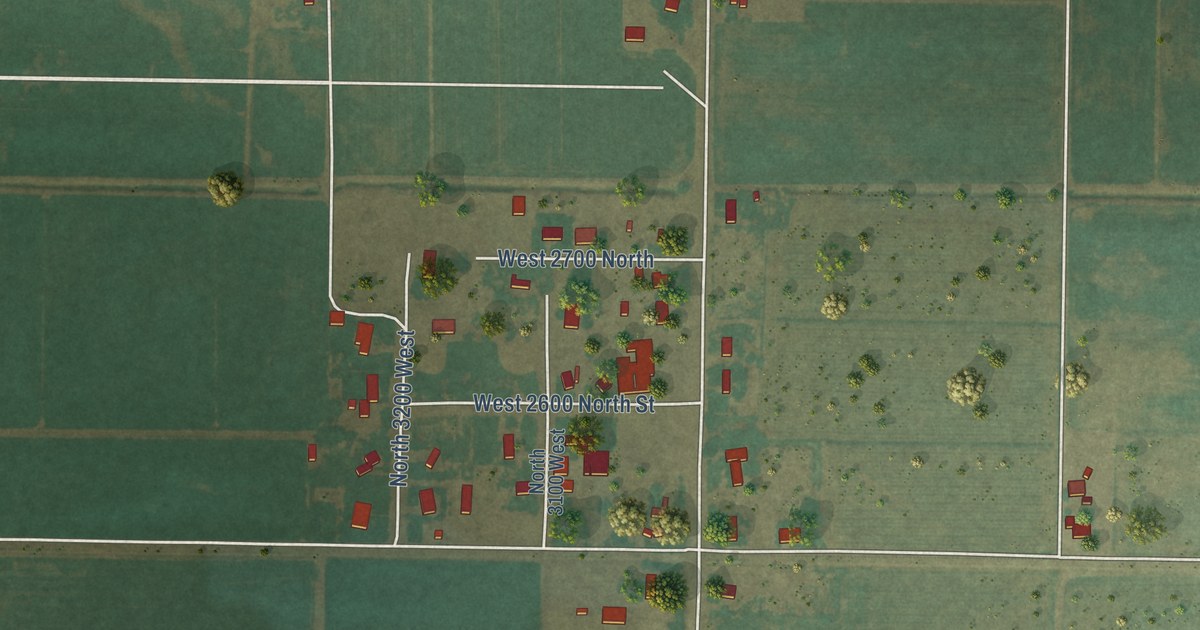
A detailed map of Sutherland, Utah, showing every building in its true location, the roads by name, and shaded topographical relief.
Read More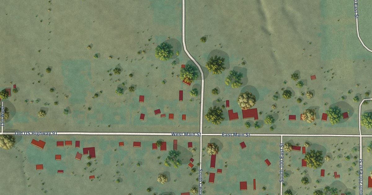
A detailed map of Summit, Utah, showing every building in its true location, the roads by name, and shaded topographical relief.
Read More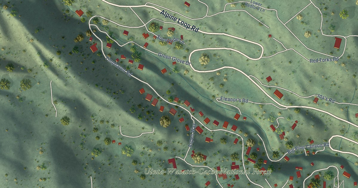
A detailed map of Sundance, Utah, showing every building in its true location, the roads by name, and shaded topographical relief.
Read More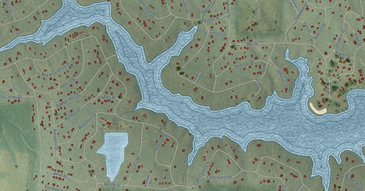
A detailed map of Lake Caroline, Virginia, showing every building in its true location, the roads by name, and shaded topographical relief.
Read More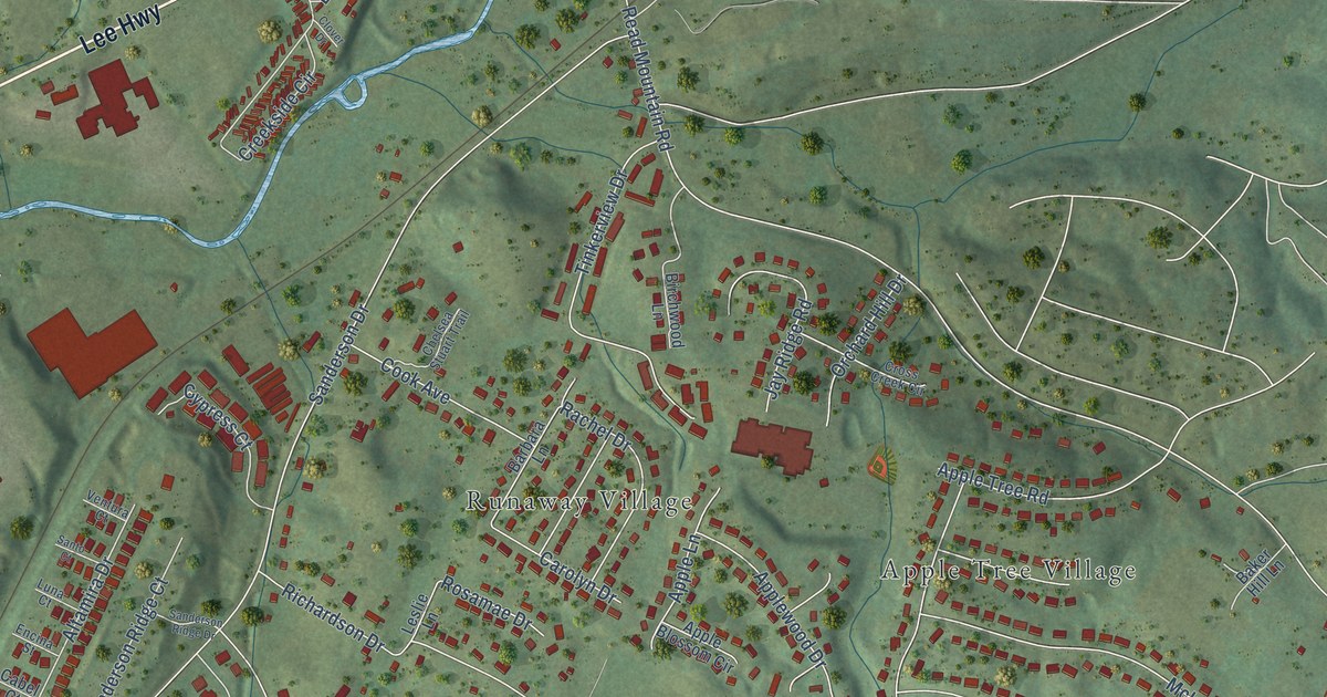
A detailed map of Cloverdale, Virginia, showing every building in its true location, the roads by name, and shaded topographical relief.
Read More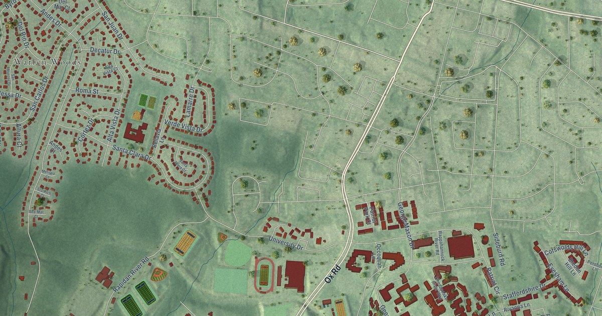
A detailed map of George Mason, Virginia, showing every building in its true location, the roads by name, and shaded topographical relief.
Read More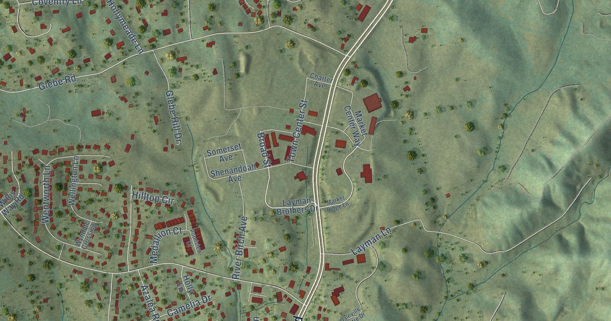
A detailed map of Daleville, Virginia, showing every building in its true location, the roads by name, and shaded topographical relief.
Read More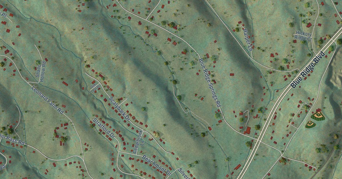
A detailed map of Blue Ridge, Virginia, showing every building in its true location, the roads by name, and shaded topographical relief.
Read More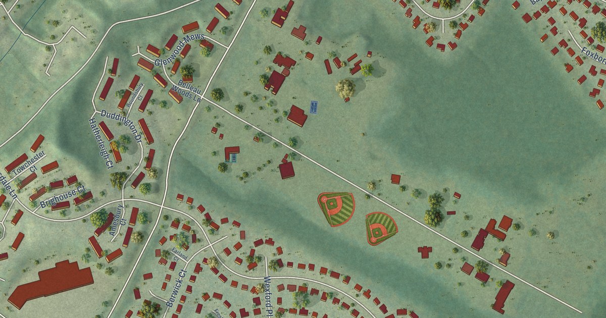
A detailed map of Hayfield, Virginia, showing every building in its true location, the roads by name, and shaded topographical relief.
Read More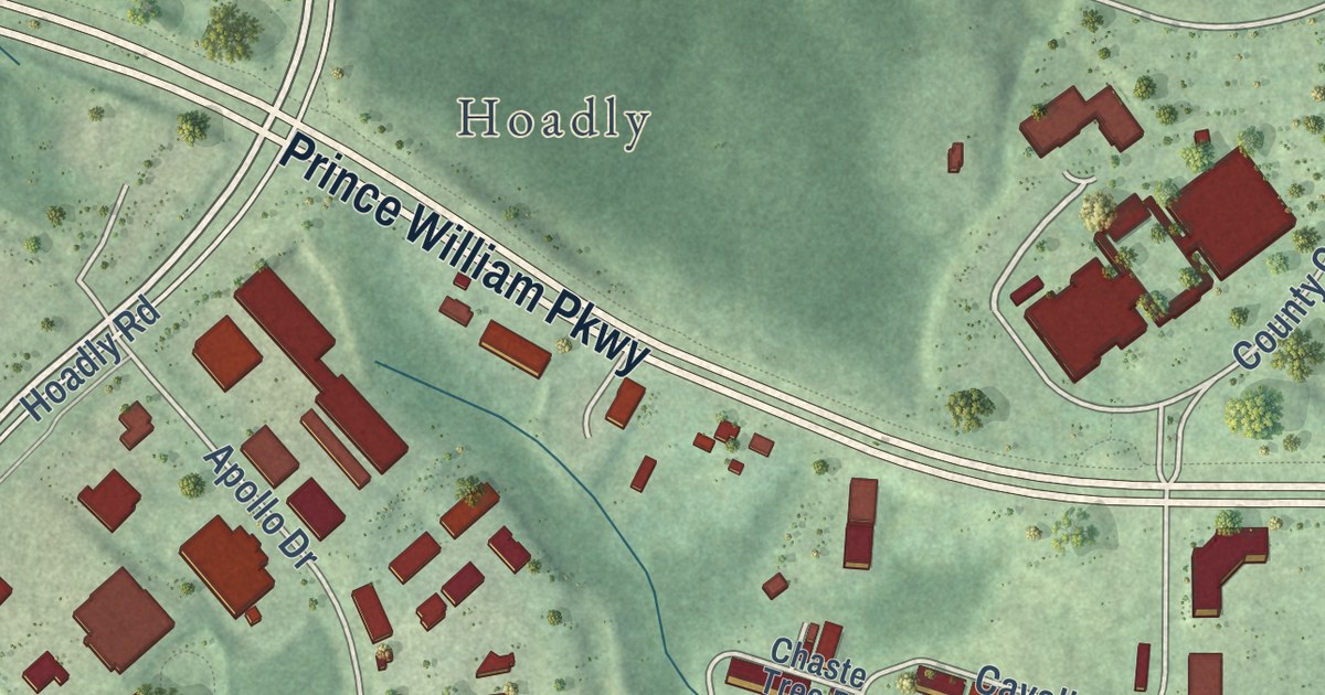
A detailed map of County Center, Virginia, showing every building in its true location, the roads by name, and shaded topographical relief.
Read More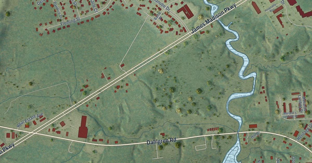
A detailed map of Dahlgren, Virginia, showing every building in its true location, the roads by name, and shaded topographical relief.
Read More















