Detailed Map of Spring Lake, Utah
A detailed map of Spring Lake, Utah, showing every building in its true location, the roads by name, and shaded topographical relief.
Read More
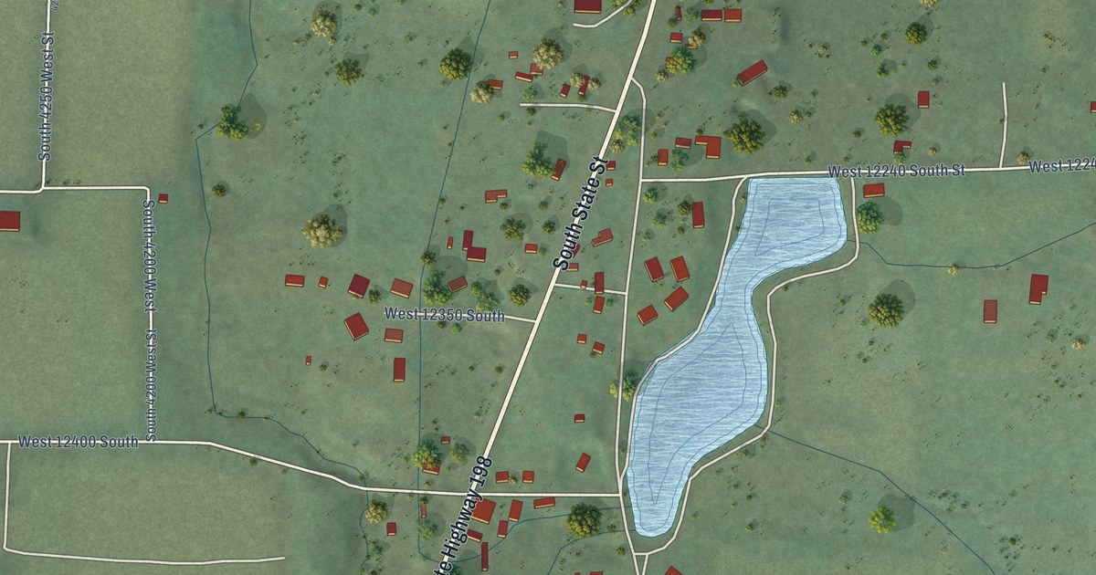
A detailed map of Spring Lake, Utah, showing every building in its true location, the roads by name, and shaded topographical relief.
Read More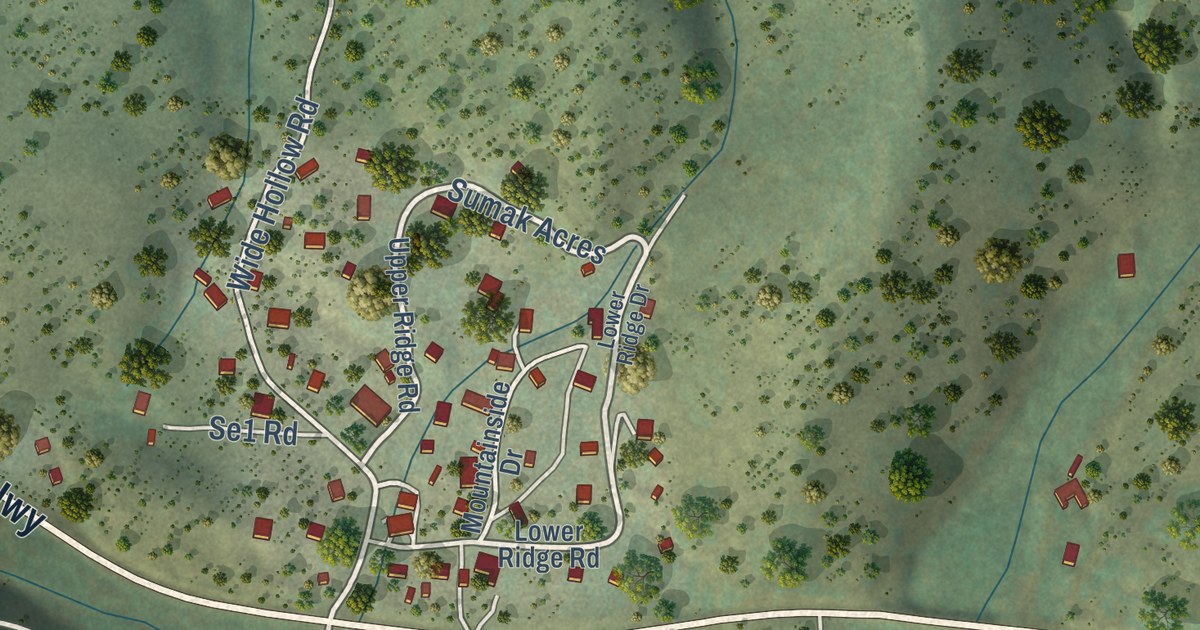
A detailed map of Samak, Utah, showing every building in its true location, the roads by name, and shaded topographical relief.
Read More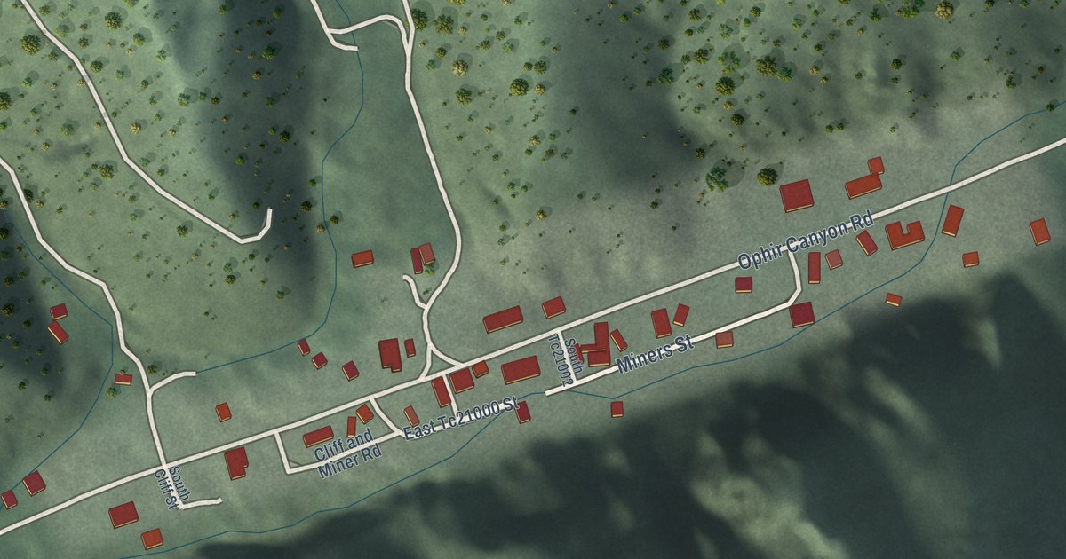
A detailed map of Ophir, Utah, showing every building in its true location, the roads by name, and shaded topographical relief.
Read More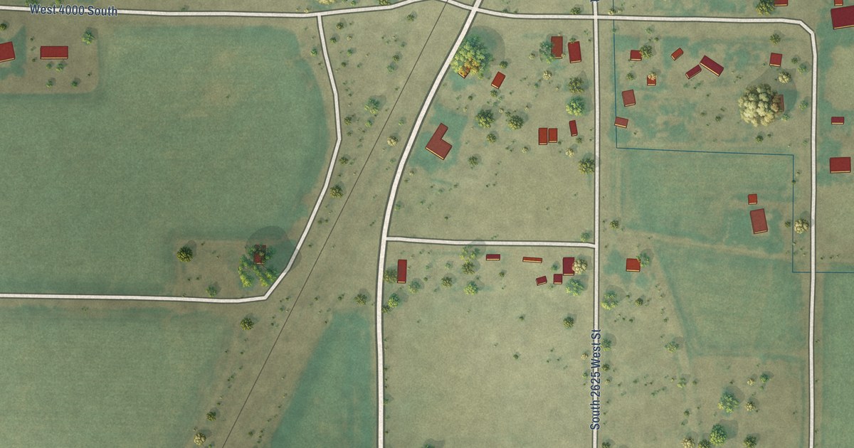
A detailed map of Oasis, Utah, showing every building in its true location, the roads by name, and shaded topographical relief.
Read More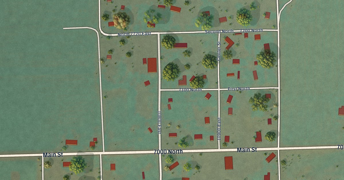
A detailed map of Lapoint, Utah, showing every building in its true location, the roads by name, and shaded topographical relief.
Read More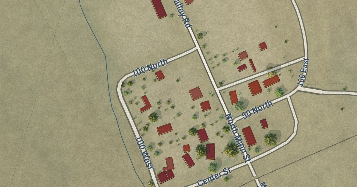
A detailed map of Modena, Utah, showing every building in its true location, the roads by name, and shaded topographical relief.
Read More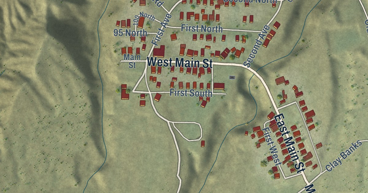
A detailed map of Kenilworth, Utah, showing every building in its true location, the roads by name, and shaded topographical relief.
Read More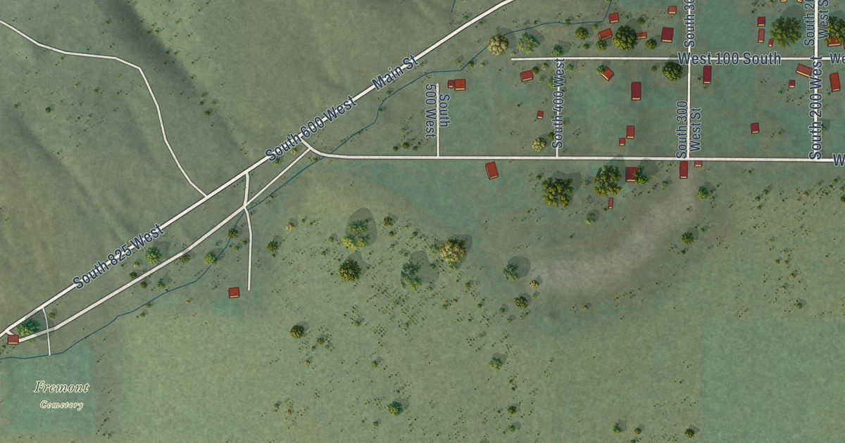
A detailed map of Fremont, Utah, showing every building in its true location, the roads by name, and shaded topographical relief.
Read More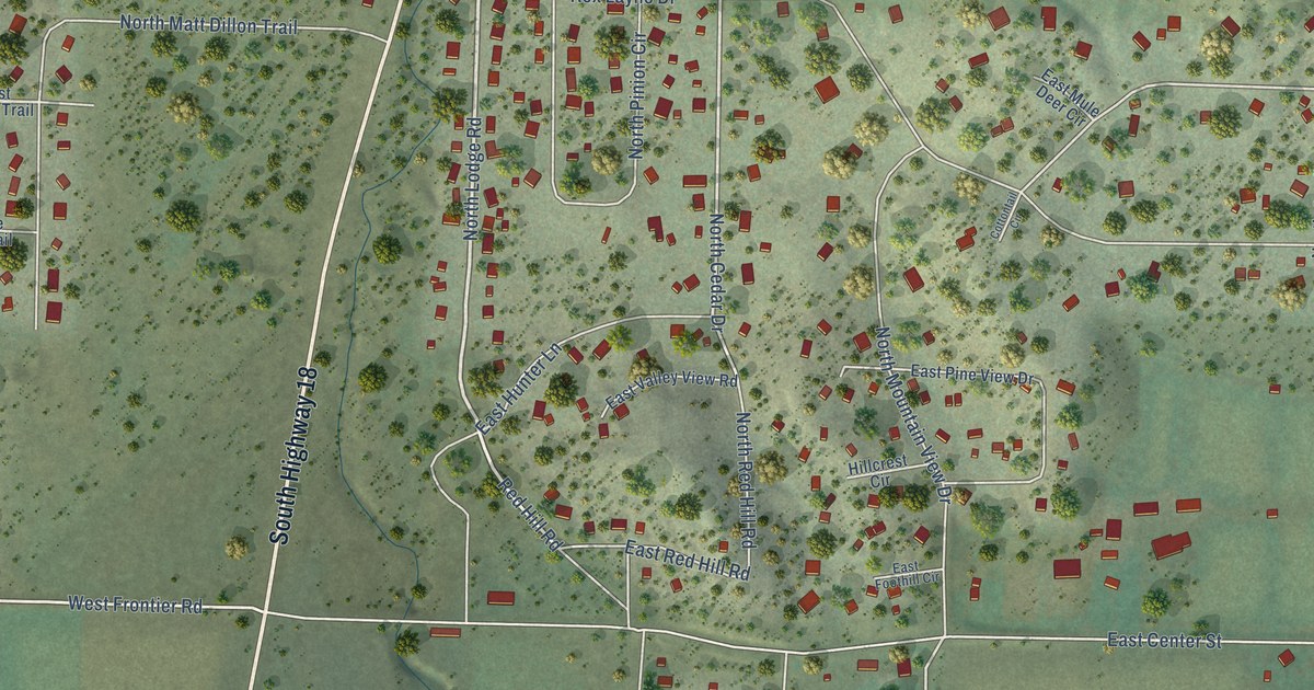
A detailed map of Central, Utah, showing every building in its true location, the roads by name, and shaded topographical relief.
Read More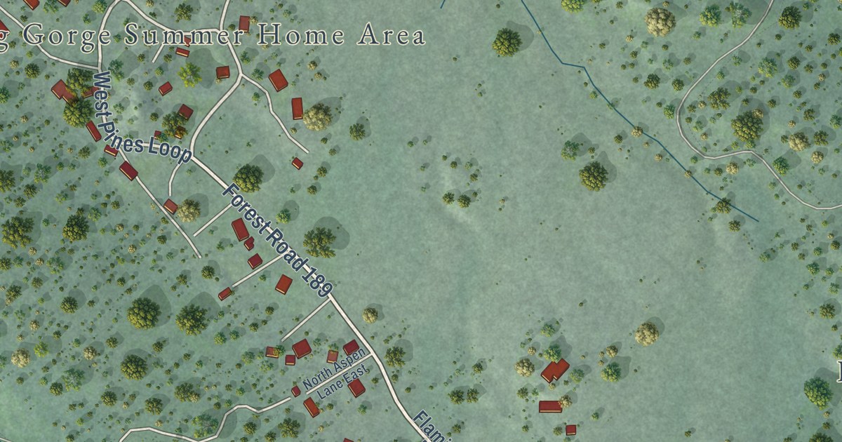
A detailed map of Flaming Gorge, Utah, showing every building in its true location, the roads by name, and shaded topographical relief.
Read More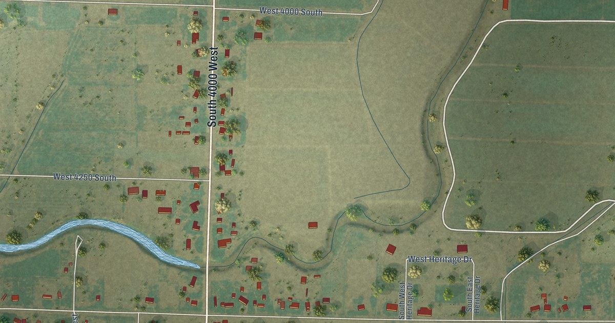
A detailed map of Deseret, Utah, showing every building in its true location, the roads by name, and shaded topographical relief.
Read More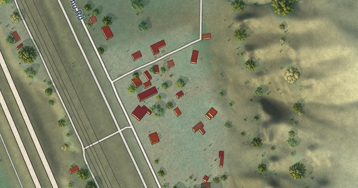
A detailed map of Echo, Utah, showing every building in its true location, the roads by name, and shaded topographical relief.
Read More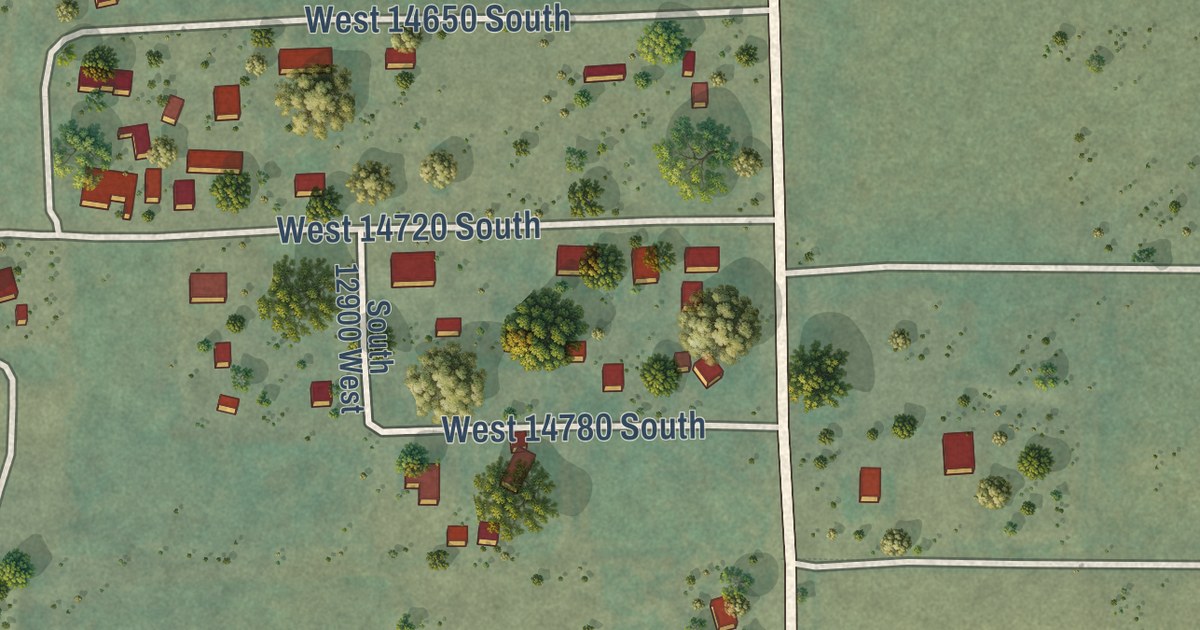
A detailed map of Elberta, Utah, showing every building in its true location, the roads by name, and shaded topographical relief.
Read More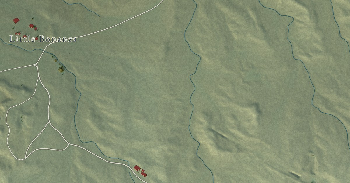
A detailed map of Bonanza, Utah, showing every building in its true location, the roads by name, and shaded topographical relief.
Read More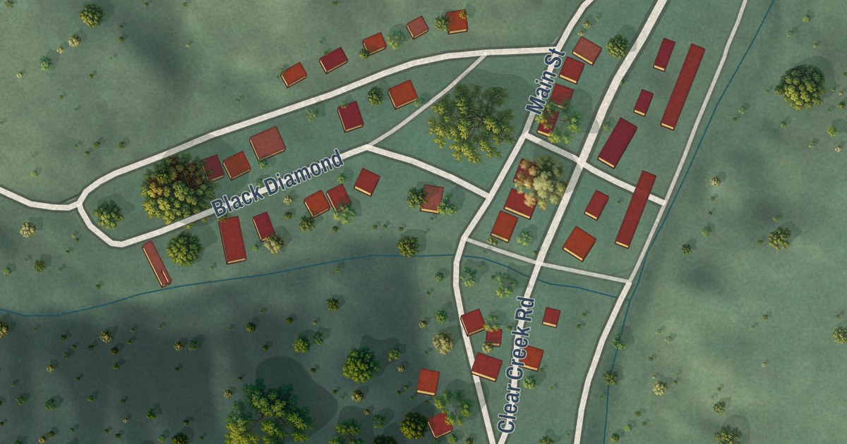
A detailed map of Clear Creek, Utah, showing every building in its true location, the roads by name, and shaded topographical relief.
Read More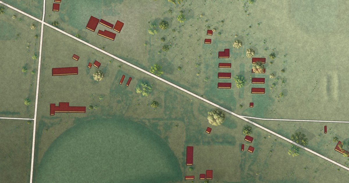
A detailed map of Beryl Junction, Utah, showing every building in its true location, the roads by name, and shaded topographical relief.
Read More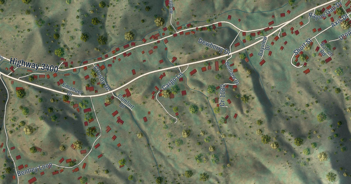
A detailed map of Payne Gap, Kentucky, showing every building in its true location, the roads by name, and shaded topographical relief.
Read More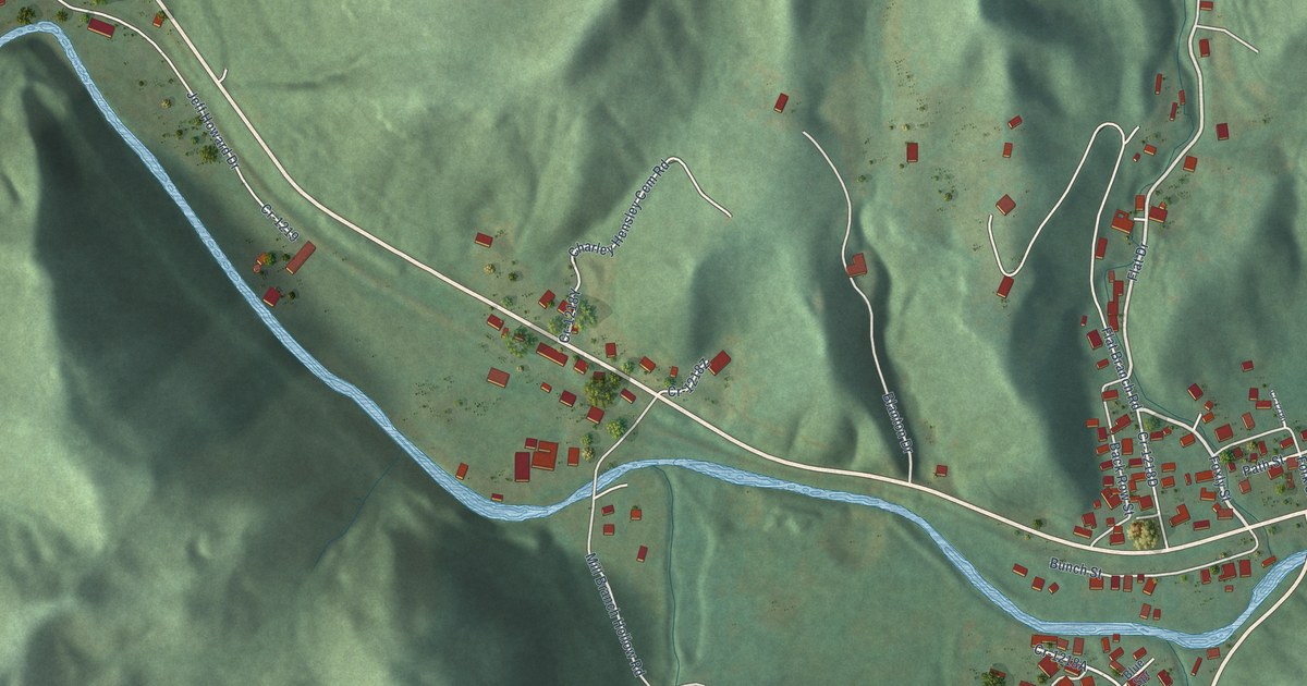
A detailed map of Pathfork, Kentucky, showing every building in its true location, the roads by name, and shaded topographical relief.
Read More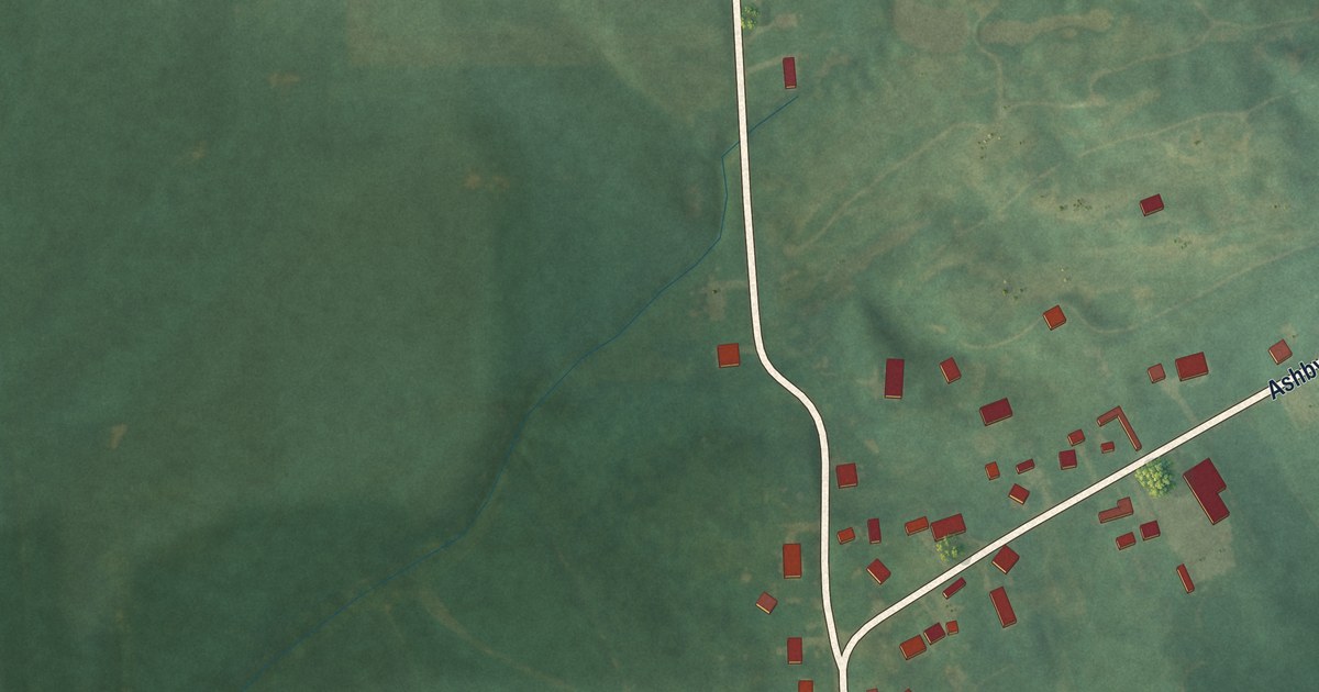
A detailed map of Panther, Kentucky, showing every building in its true location, the roads by name, and shaded topographical relief.
Read More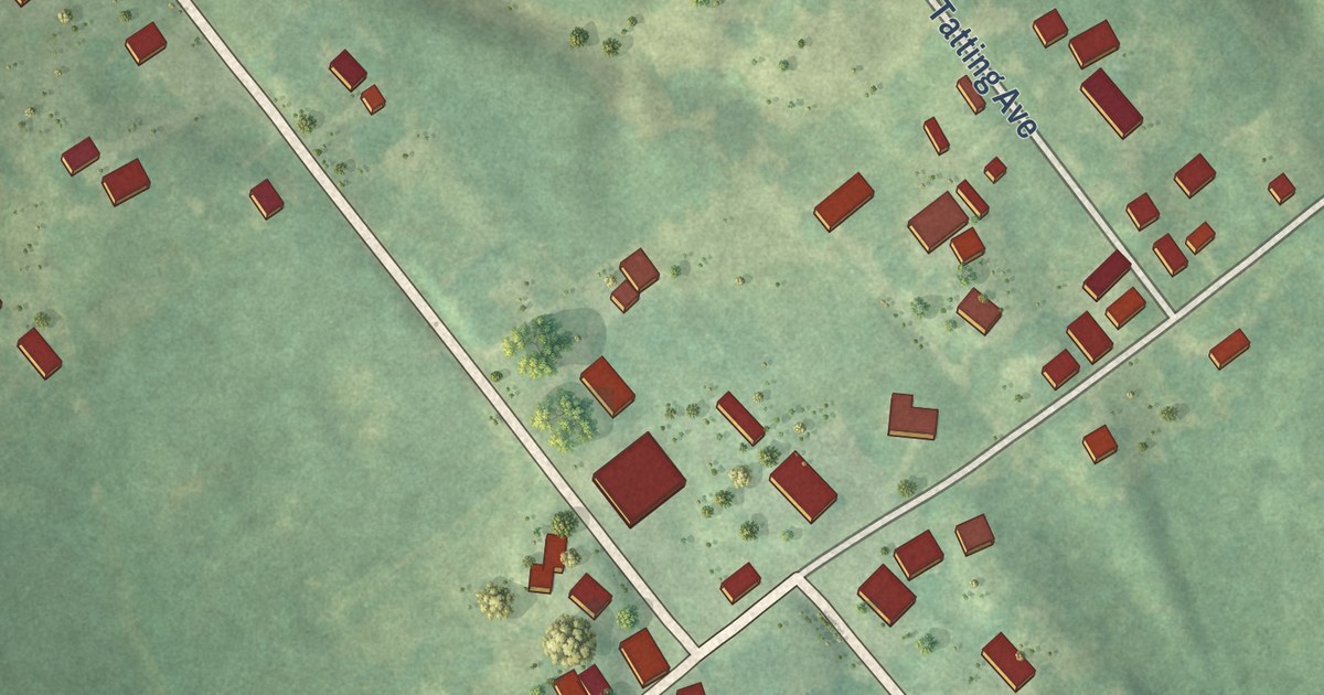
A detailed map of Onton, Kentucky, showing every building in its true location, the roads by name, and shaded topographical relief.
Read More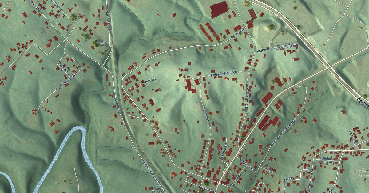
A detailed map of North Corbin, Kentucky, showing every building in its true location, the roads by name, and shaded topographical relief.
Read More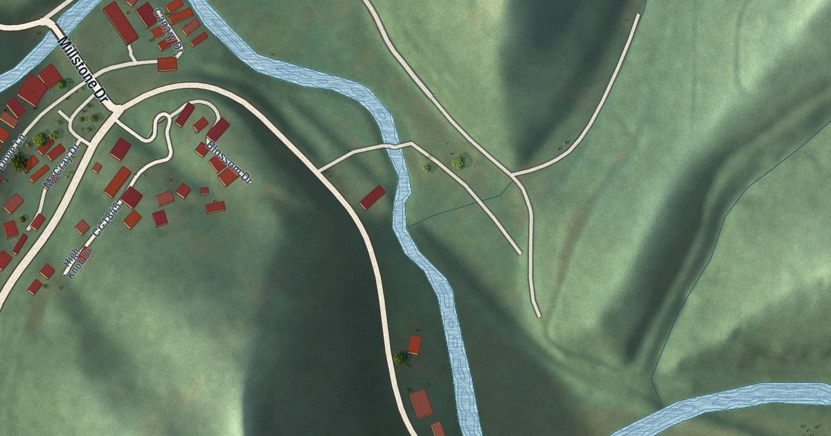
A detailed map of Millstone, Kentucky, showing every building in its true location, the roads by name, and shaded topographical relief.
Read More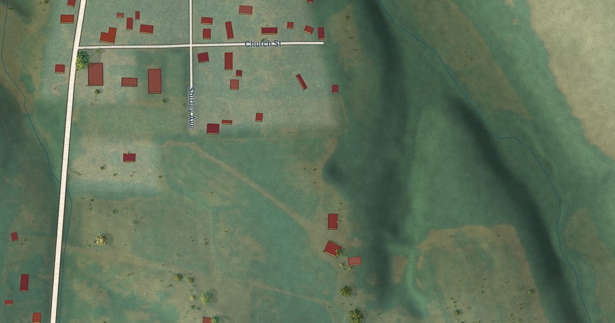
A detailed map of New Hope, Kentucky, showing every building in its true location, the roads by name, and shaded topographical relief.
Read More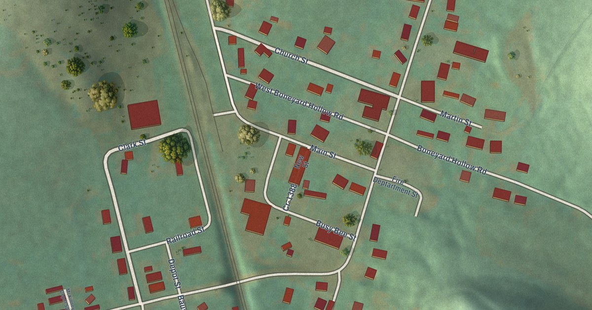
A detailed map of McKinney, Kentucky, showing every building in its true location, the roads by name, and shaded topographical relief.
Read More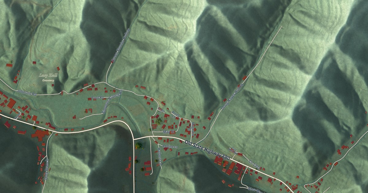
A detailed map of McDowell, Kentucky, showing every building in its true location, the roads by name, and shaded topographical relief.
Read More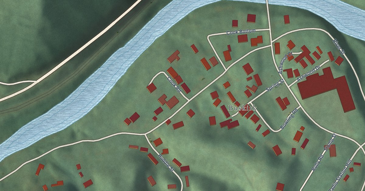
A detailed map of McCarr, Kentucky, showing every building in its true location, the roads by name, and shaded topographical relief.
Read More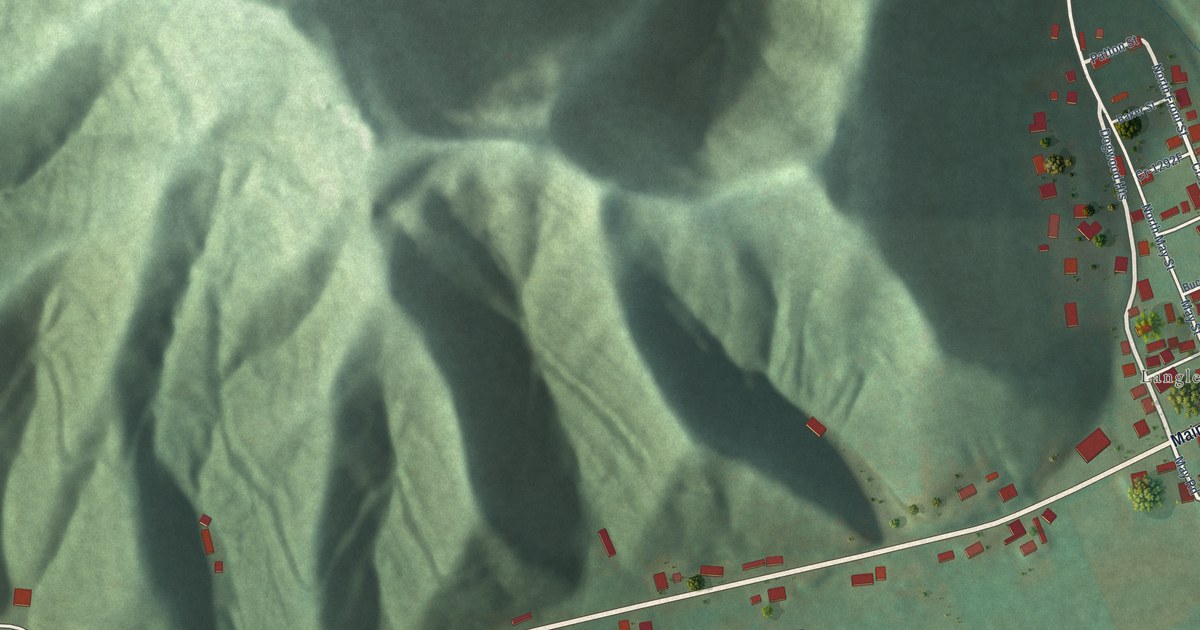
A detailed map of Maytown, Kentucky, showing every building in its true location, the roads by name, and shaded topographical relief.
Read More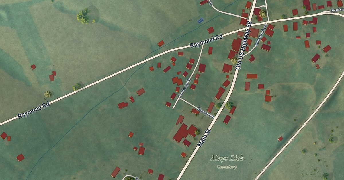
A detailed map of Mays Lick, Kentucky, showing every building in its true location, the roads by name, and shaded topographical relief.
Read More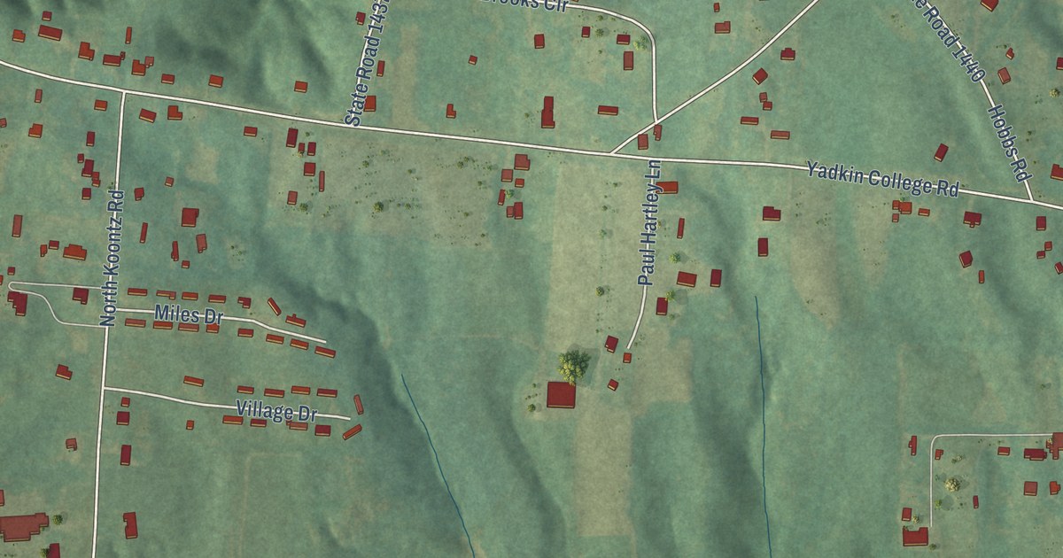
A detailed map of Yadkin College, North Carolina, showing every building in its true location, the roads by name, and shaded topographical relief.
Read More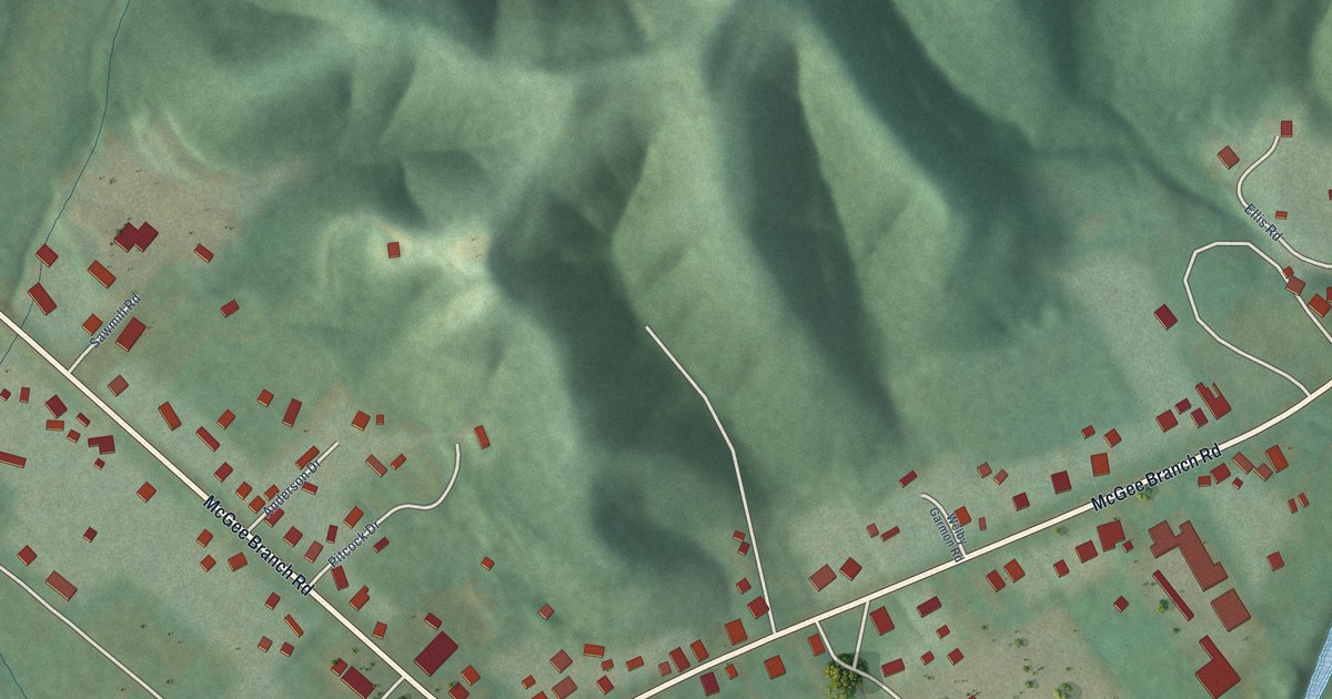
A detailed map of Marrowbone, Kentucky, showing every building in its true location, the roads by name, and shaded topographical relief.
Read More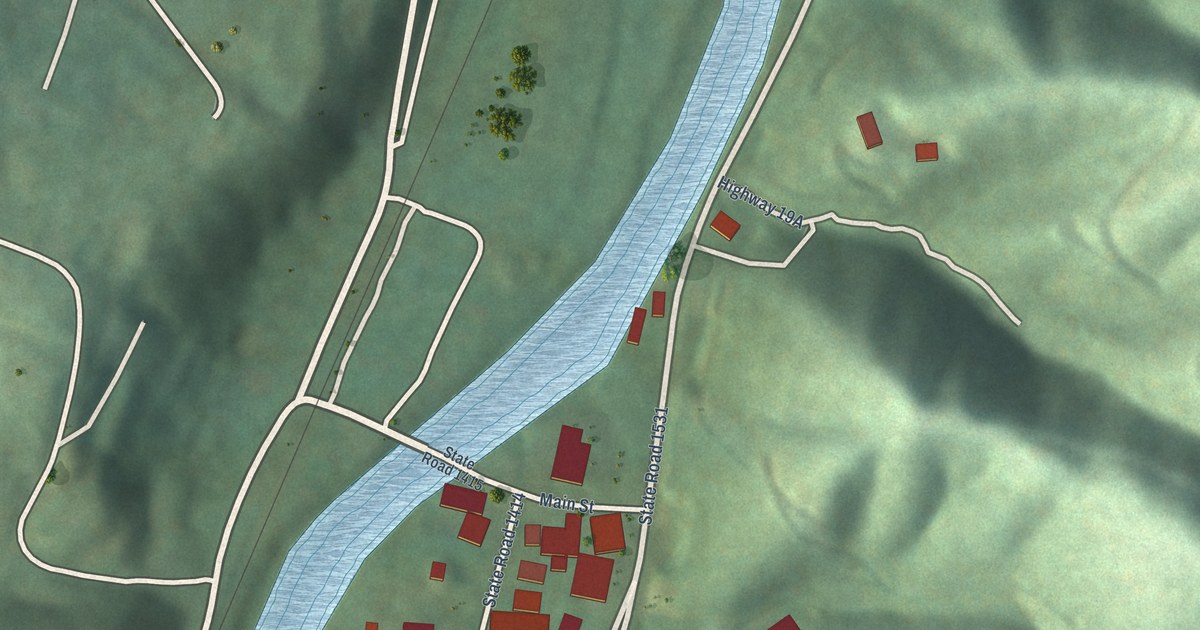
A detailed map of Whittier, North Carolina, showing every building in its true location, the roads by name, and shaded topographical relief.
Read More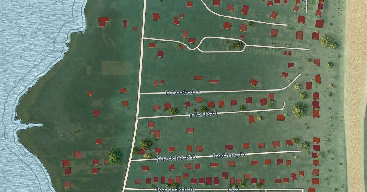
A detailed map of Waves, North Carolina, showing every building in its true location, the roads by name, and shaded topographical relief.
Read More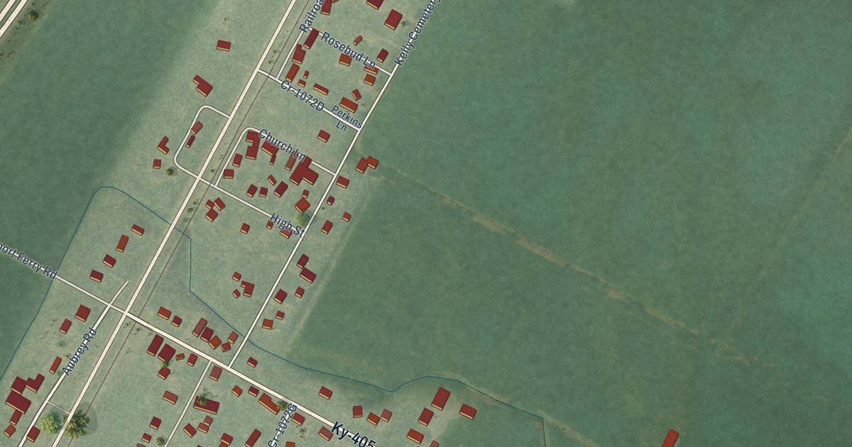
A detailed map of Maceo, Kentucky, showing every building in its true location, the roads by name, and shaded topographical relief.
Read More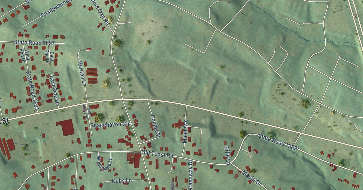
A detailed map of Toast, North Carolina, showing every building in its true location, the roads by name, and shaded topographical relief.
Read More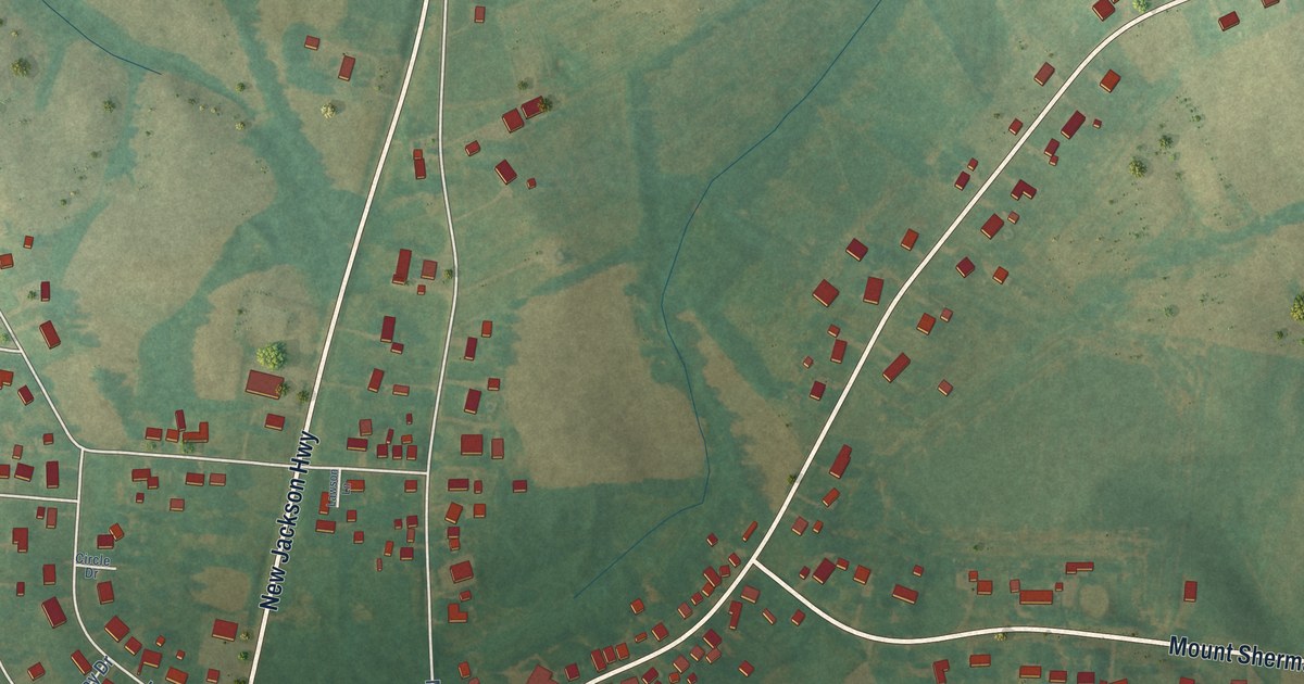
A detailed map of Magnolia, Kentucky, showing every building in its true location, the roads by name, and shaded topographical relief.
Read More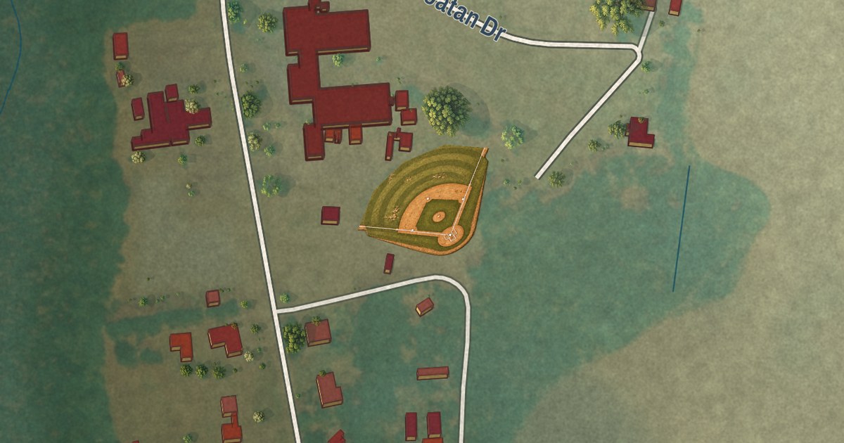
A detailed map of Wakulla, North Carolina, showing every building in its true location, the roads by name, and shaded topographical relief.
Read More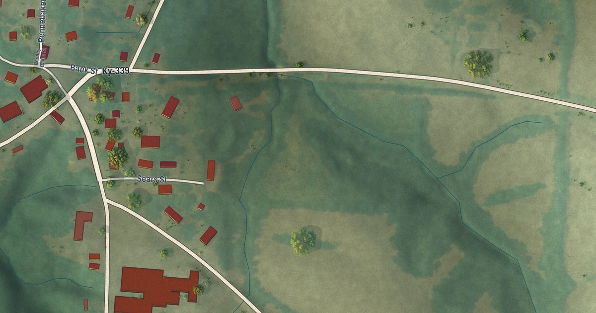
A detailed map of Lowes, Kentucky, showing every building in its true location, the roads by name, and shaded topographical relief.
Read More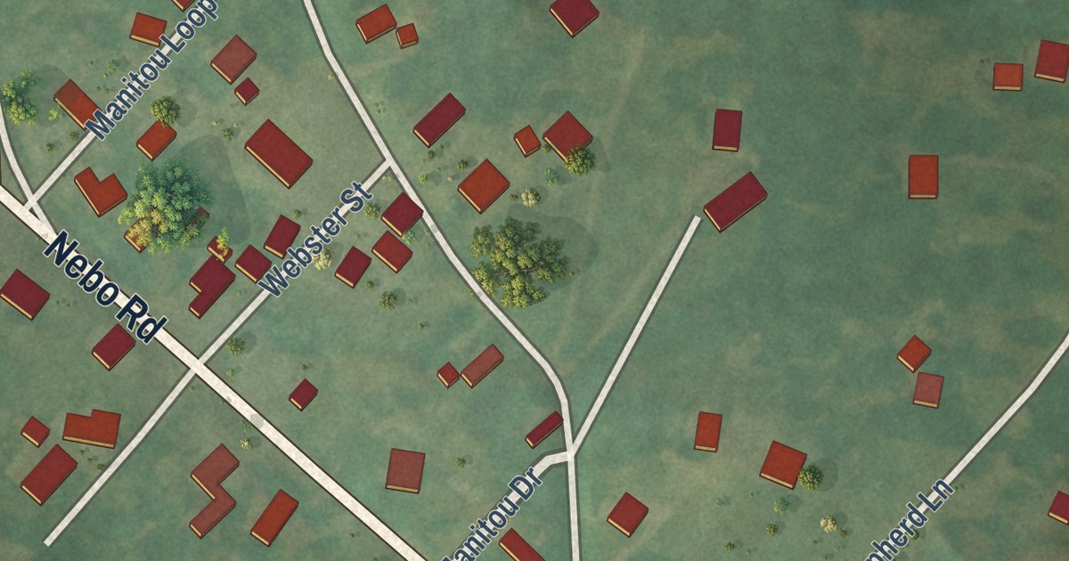
A detailed map of Manitou, Kentucky, showing every building in its true location, the roads by name, and shaded topographical relief.
Read More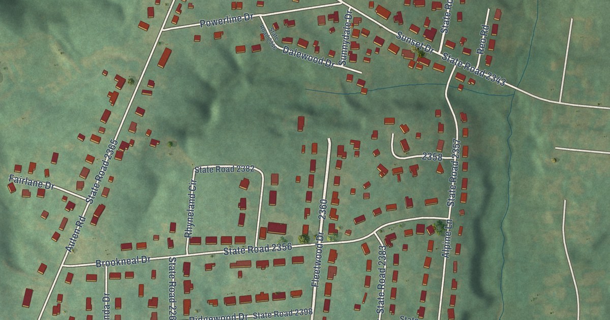
A detailed map of Springdale, North Carolina, showing every building in its true location, the roads by name, and shaded topographical relief.
Read More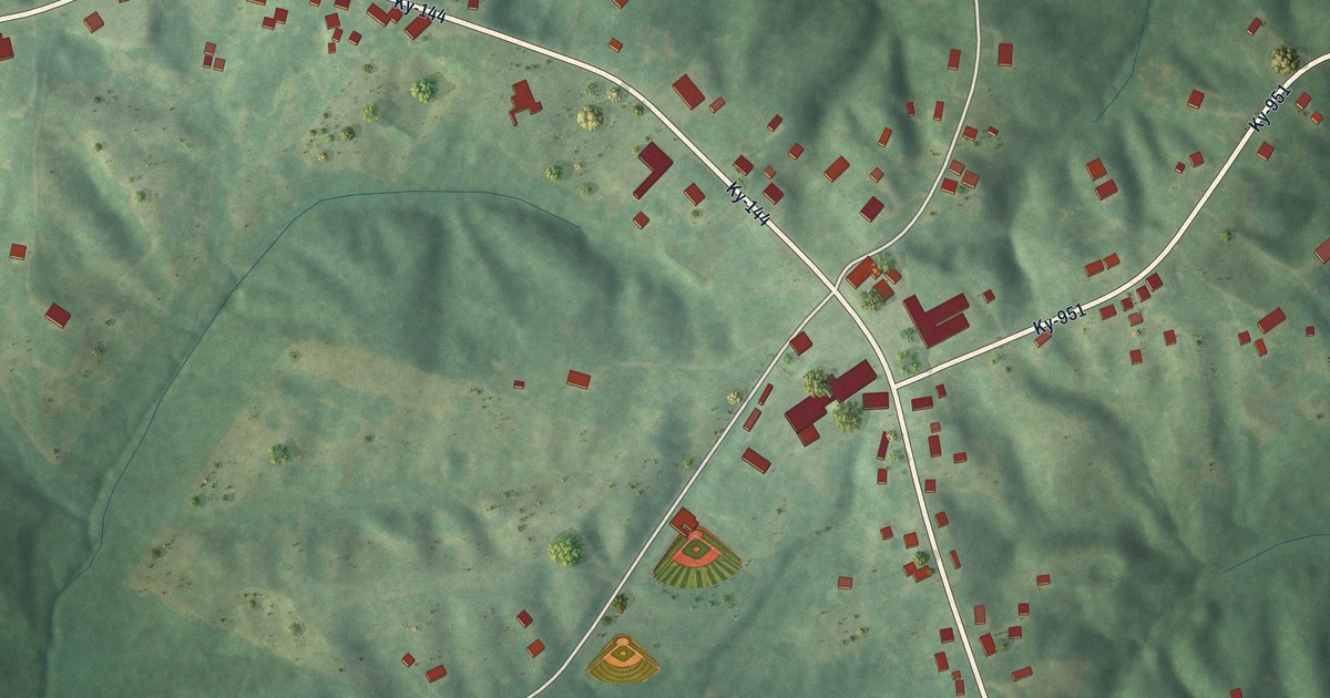
A detailed map of Knottsville, Kentucky, showing every building in its true location, the roads by name, and shaded topographical relief.
Read More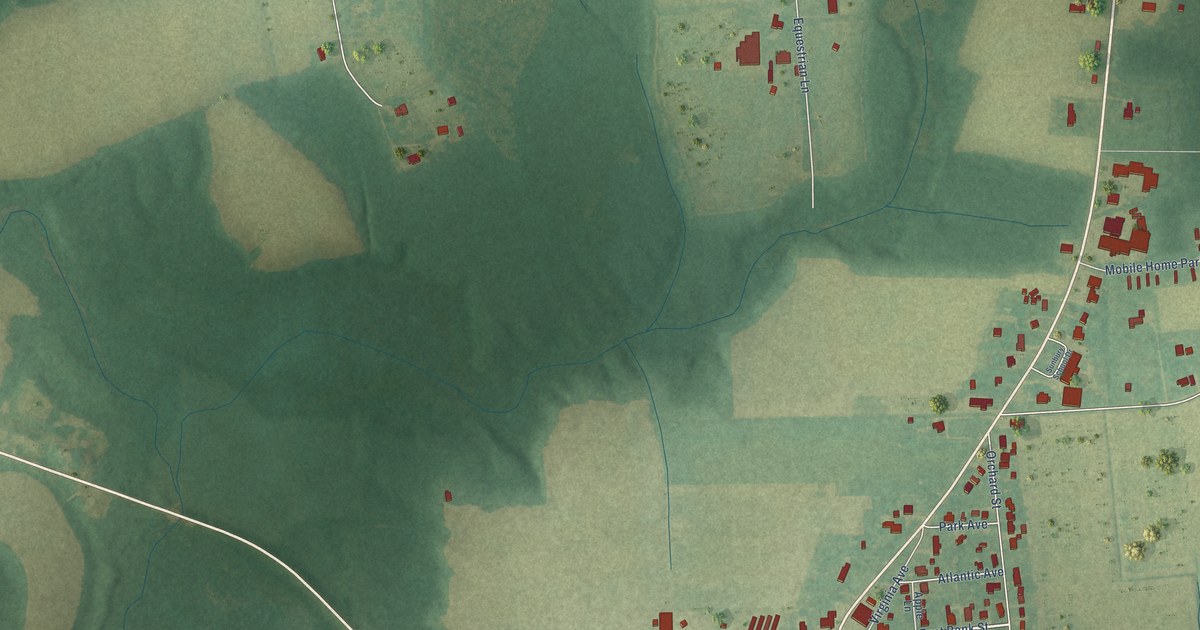
A detailed map of Sunbury, North Carolina, showing every building in its true location, the roads by name, and shaded topographical relief.
Read More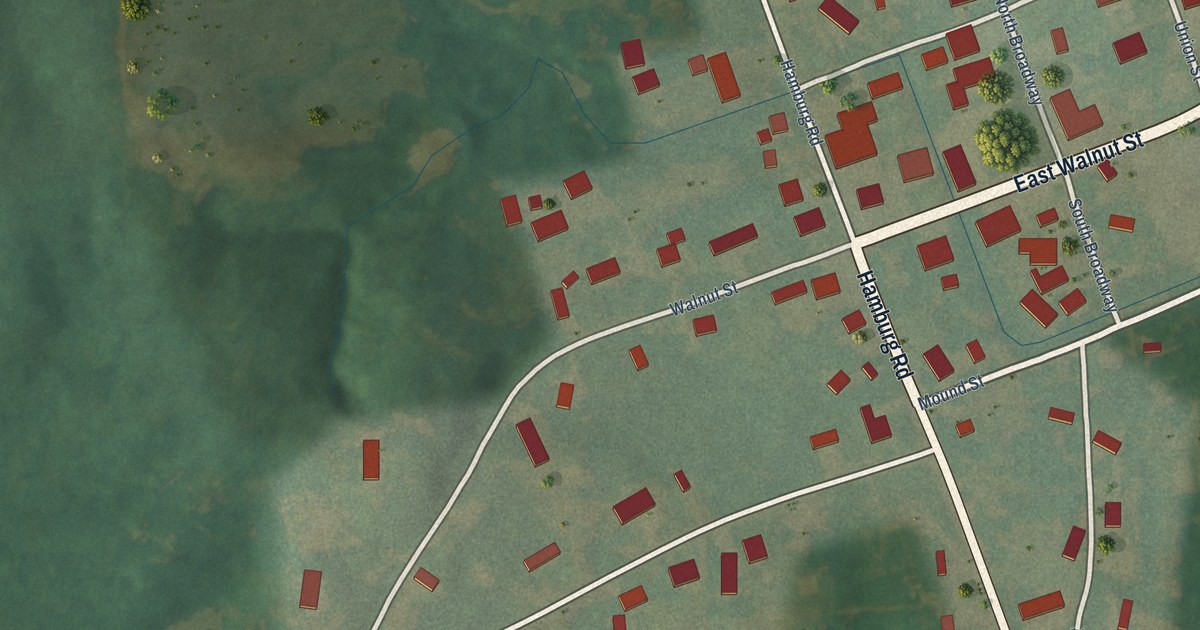
A detailed map of Lovelaceville, Kentucky, showing every building in its true location, the roads by name, and shaded topographical relief.
Read More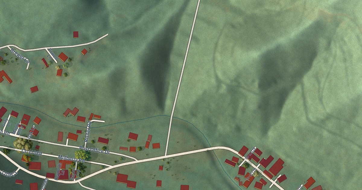
A detailed map of Kenvir, Kentucky, showing every building in its true location, the roads by name, and shaded topographical relief.
Read More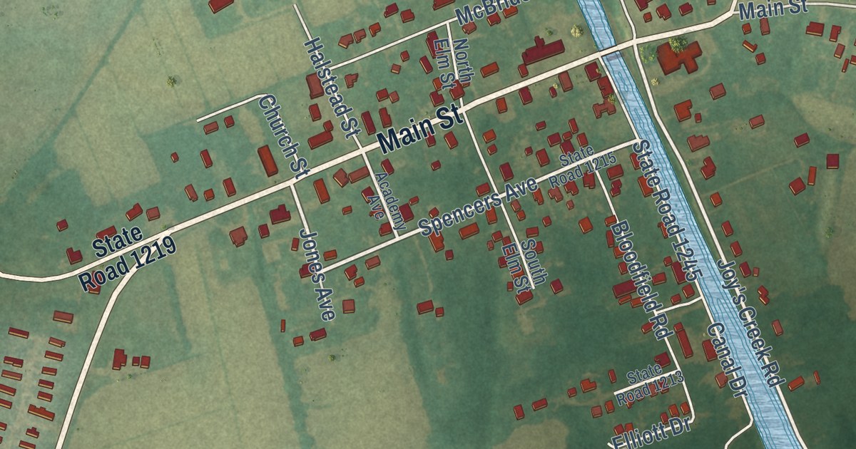
A detailed map of South Mills, North Carolina, showing every building in its true location, the roads by name, and shaded topographical relief.
Read More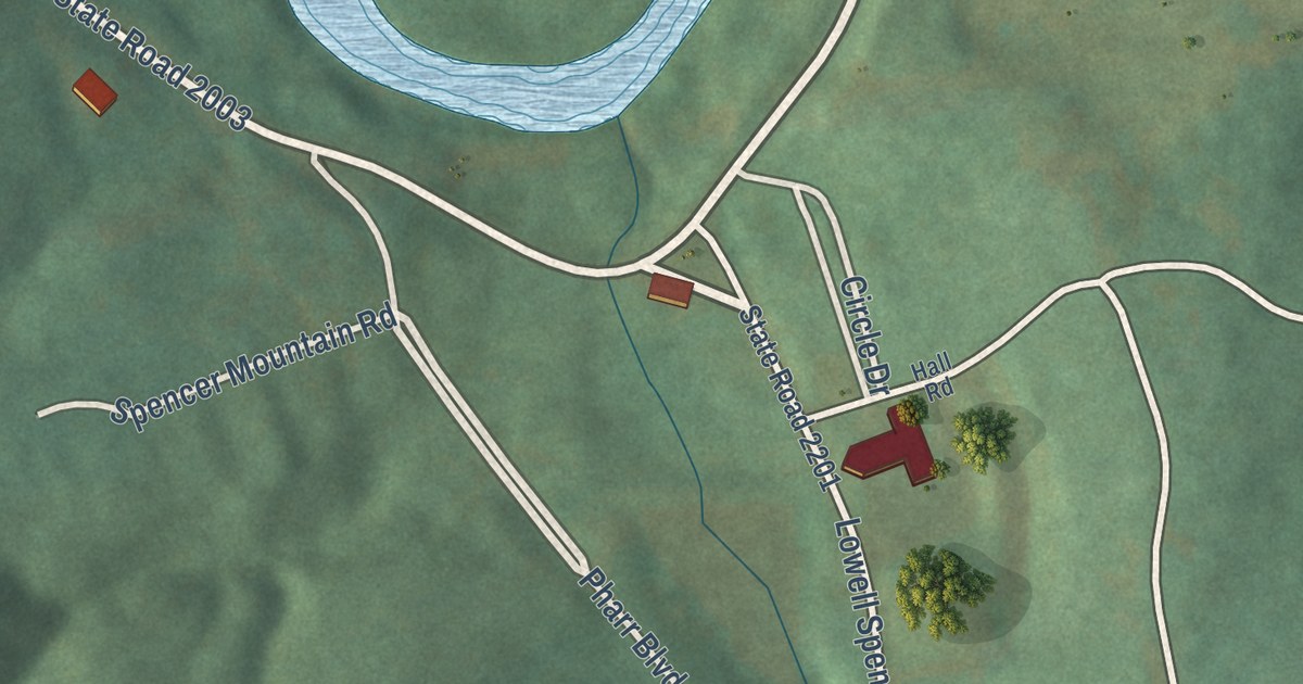
A detailed map of Spencer Mountain, North Carolina, showing every building in its true location, the roads by name, and shaded topographical relief.
Read More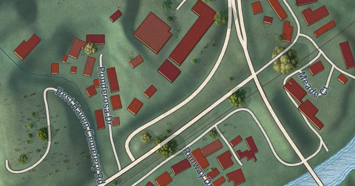
A detailed map of Jeff, Kentucky, showing every building in its true location, the roads by name, and shaded topographical relief.
Read More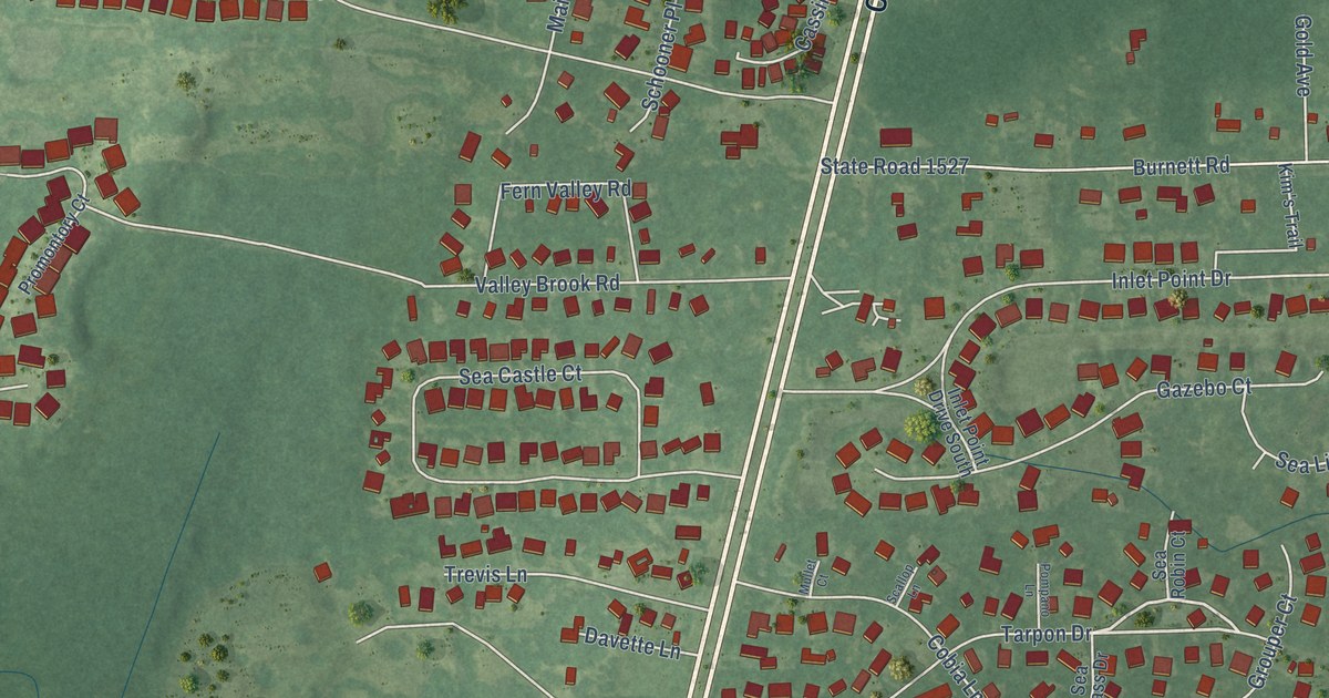
A detailed map of Sea Breeze, North Carolina, showing every building in its true location, the roads by name, and shaded topographical relief.
Read More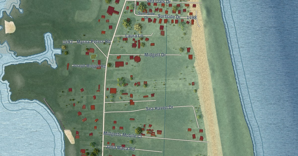
A detailed map of Rodanthe, North Carolina, showing every building in its true location, the roads by name, and shaded topographical relief.
Read More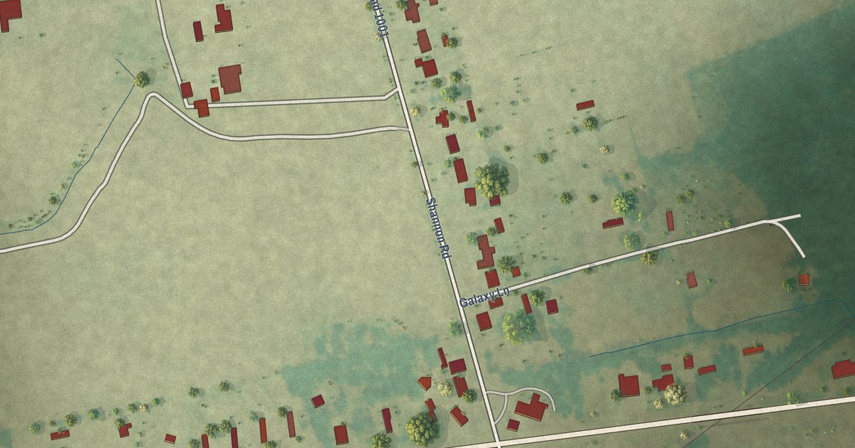
A detailed map of Shannon, North Carolina, showing every building in its true location, the roads by name, and shaded topographical relief.
Read More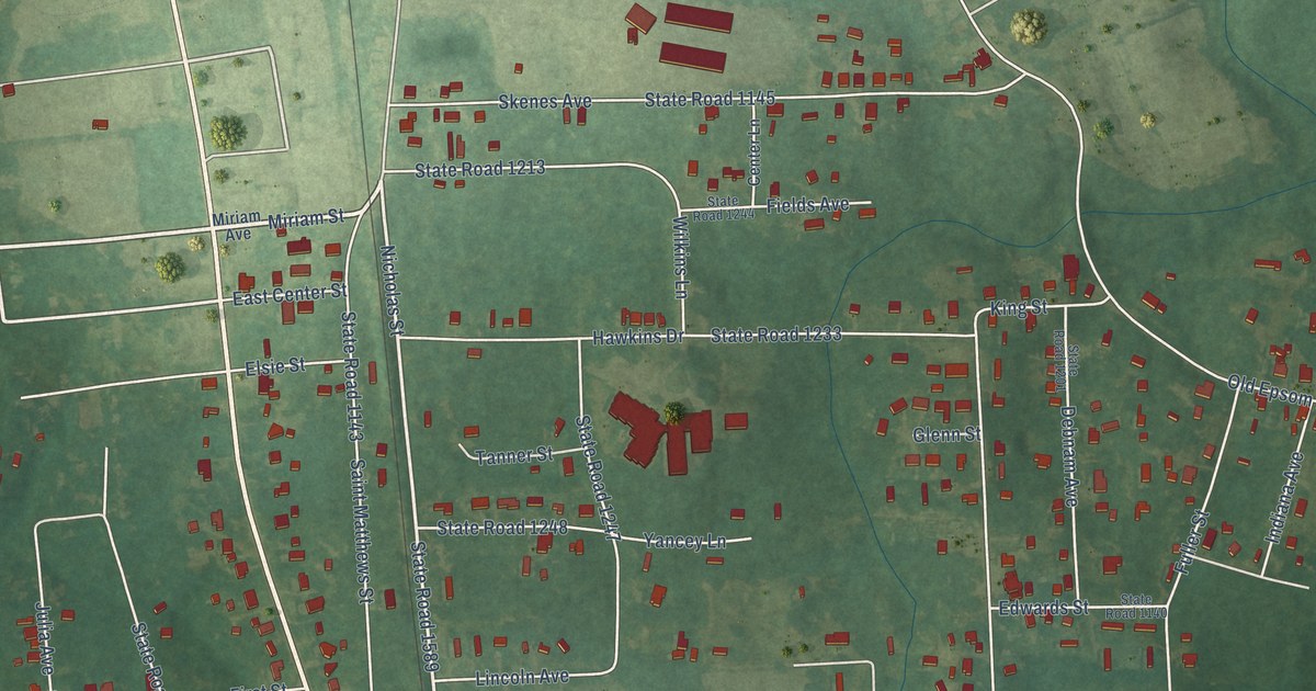
A detailed map of South Henderson, North Carolina, showing every building in its true location, the roads by name, and shaded topographical relief.
Read More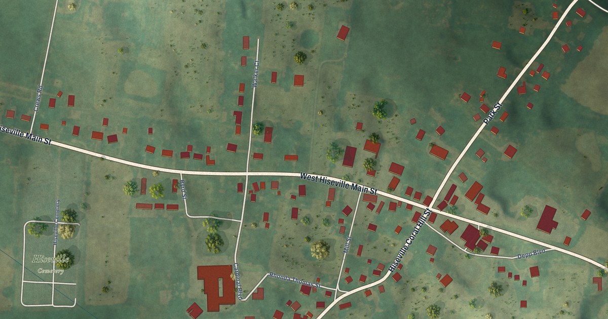
A detailed map of Hiseville, Kentucky, showing every building in its true location, the roads by name, and shaded topographical relief.
Read More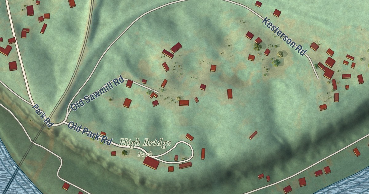
A detailed map of High Bridge, Kentucky, showing every building in its true location, the roads by name, and shaded topographical relief.
Read More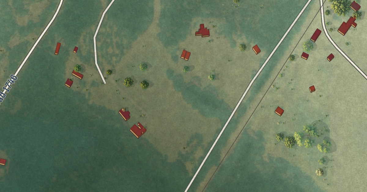
A detailed map of Rex, North Carolina, showing every building in its true location, the roads by name, and shaded topographical relief.
Read More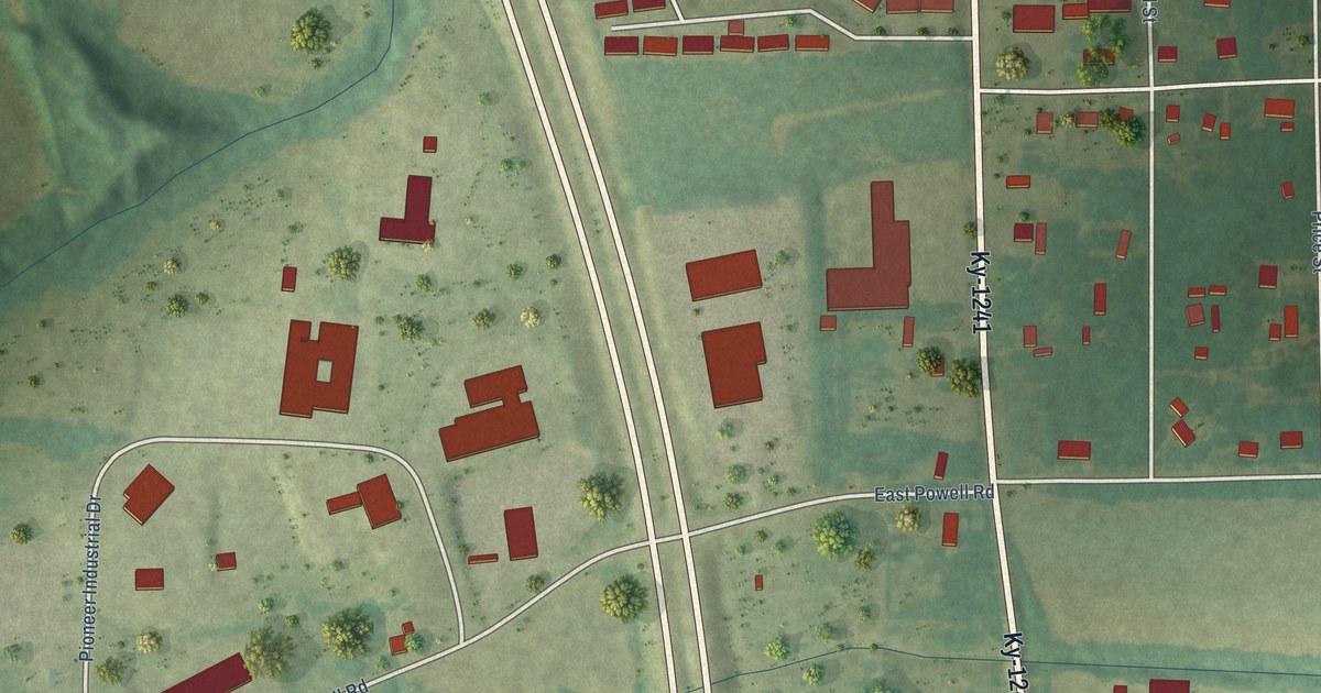
A detailed map of Hickory, Kentucky, showing every building in its true location, the roads by name, and shaded topographical relief.
Read More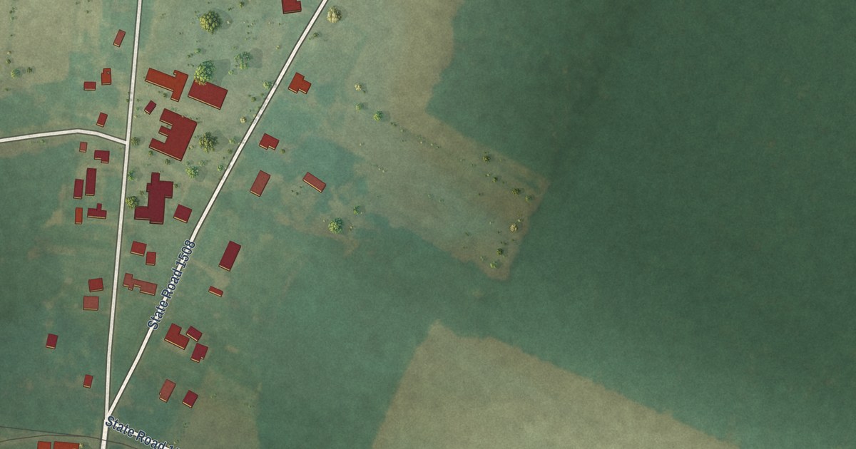
A detailed map of Pinetown, North Carolina, showing every building in its true location, the roads by name, and shaded topographical relief.
Read More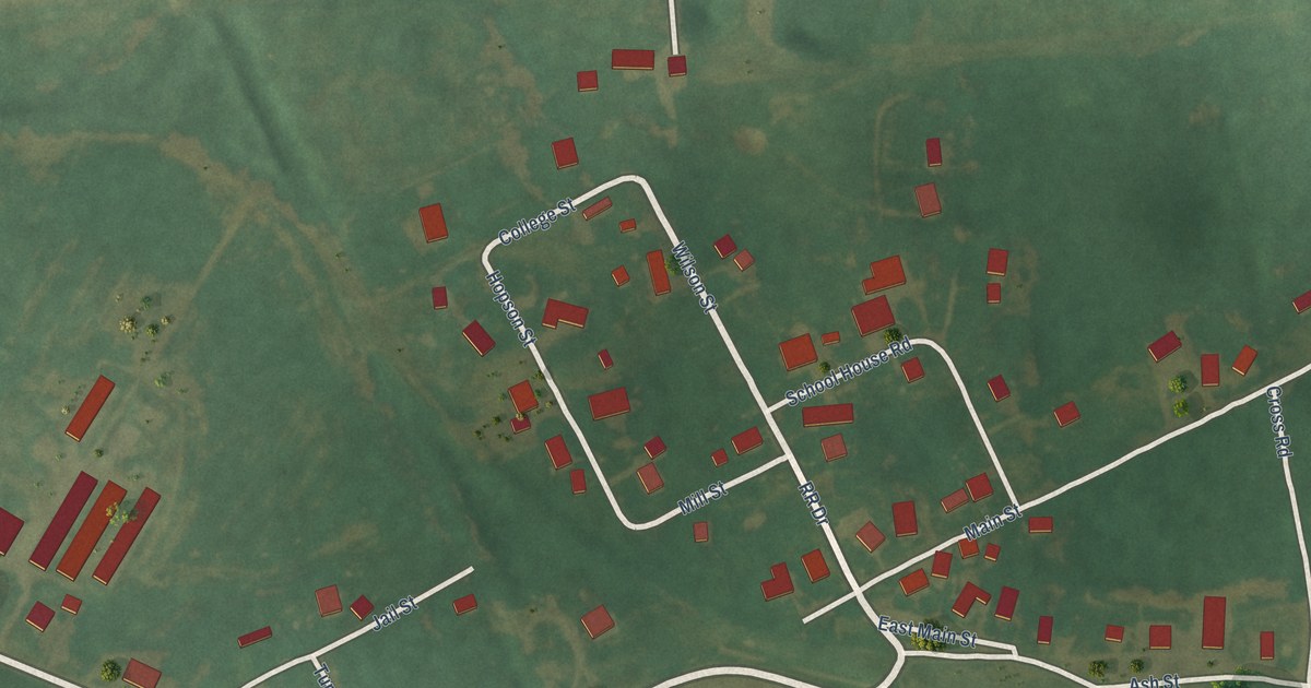
A detailed map of Gracey, Kentucky, showing every building in its true location, the roads by name, and shaded topographical relief.
Read More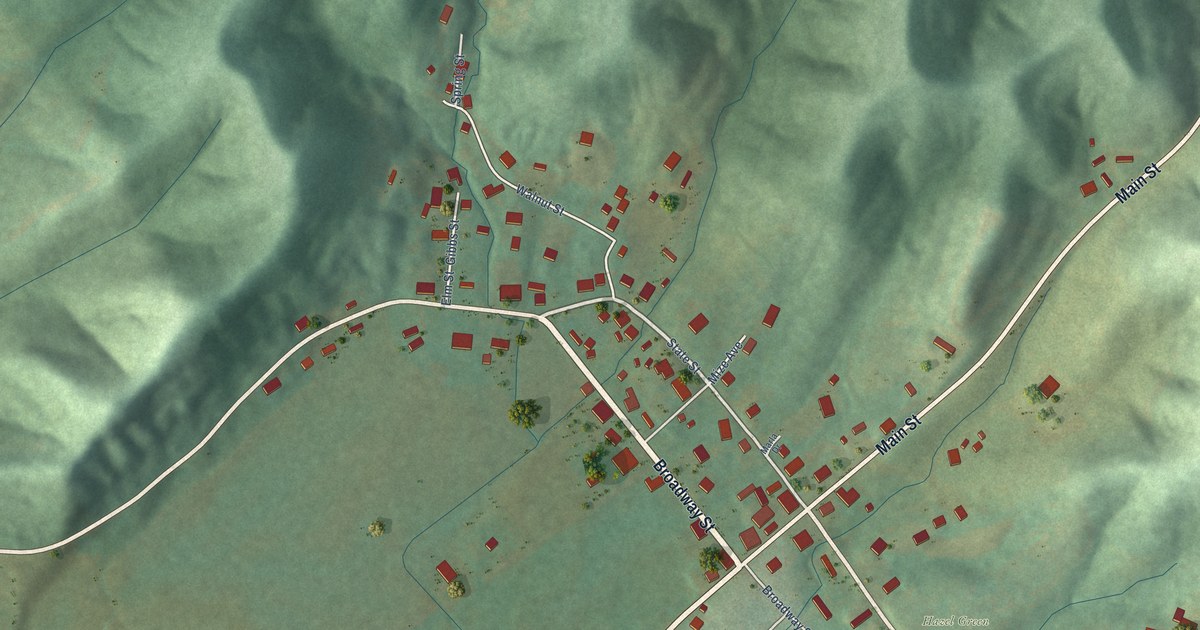
A detailed map of Hazel Green, Kentucky, showing every building in its true location, the roads by name, and shaded topographical relief.
Read More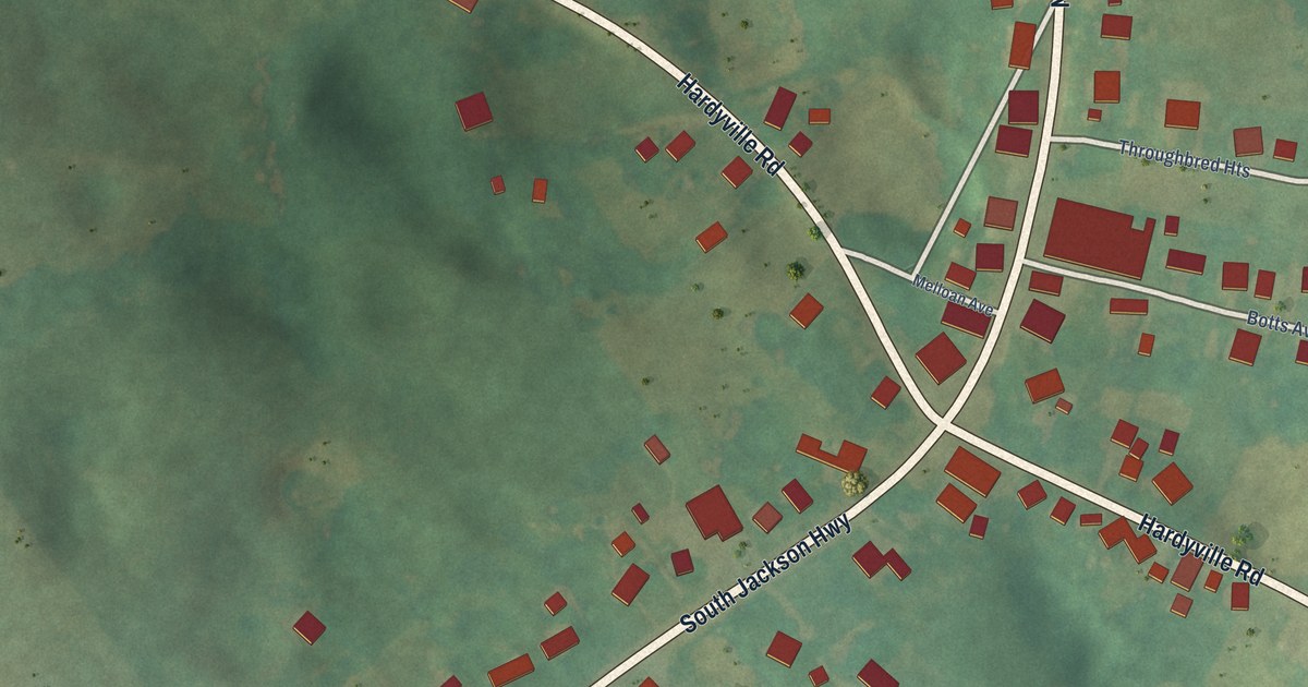
A detailed map of Hardyville, Kentucky, showing every building in its true location, the roads by name, and shaded topographical relief.
Read More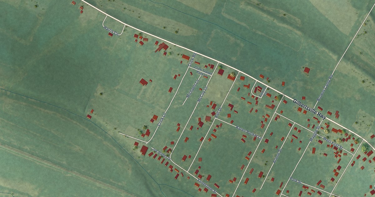
A detailed map of Gilbertsville, Kentucky, showing every building in its true location, the roads by name, and shaded topographical relief.
Read More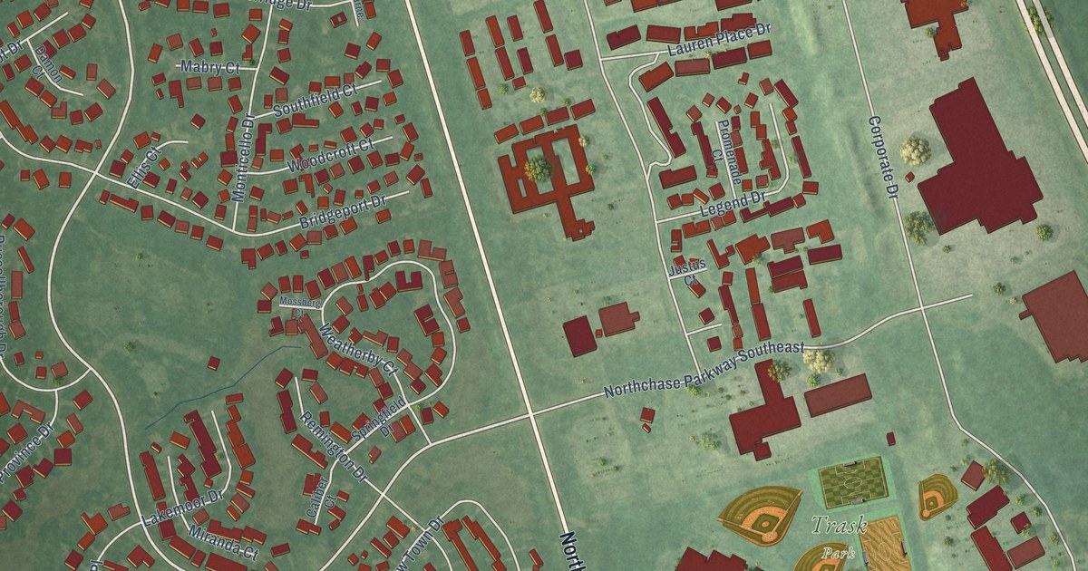
A detailed map of Northchase, North Carolina, showing every building in its true location, the roads by name, and shaded topographical relief.
Read More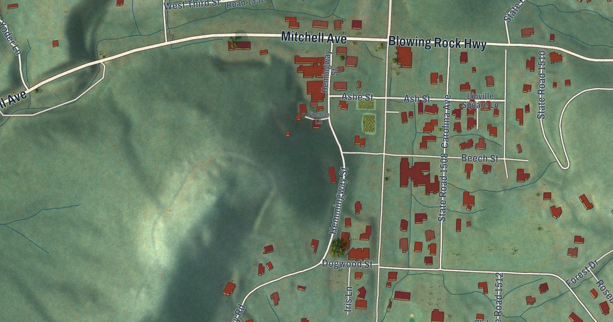
A detailed map of Linville, North Carolina, showing every building in its true location, the roads by name, and shaded topographical relief.
Read More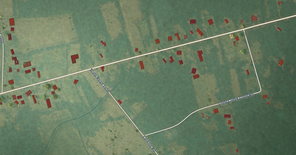
A detailed map of Long Creek, North Carolina, showing every building in its true location, the roads by name, and shaded topographical relief.
Read More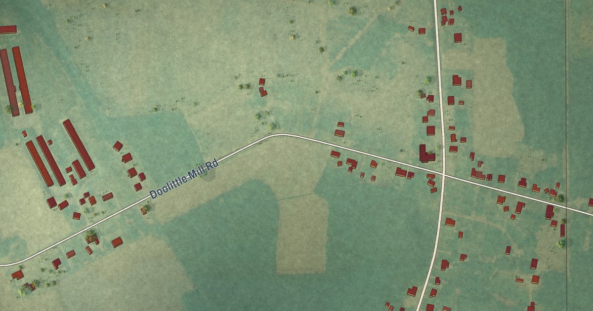
A detailed map of Milwaukee, North Carolina, showing every building in its true location, the roads by name, and shaded topographical relief.
Read More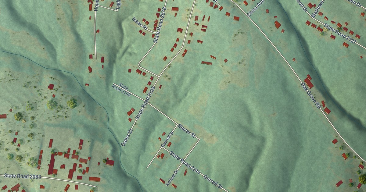
A detailed map of Light Oak, North Carolina, showing every building in its true location, the roads by name, and shaded topographical relief.
Read More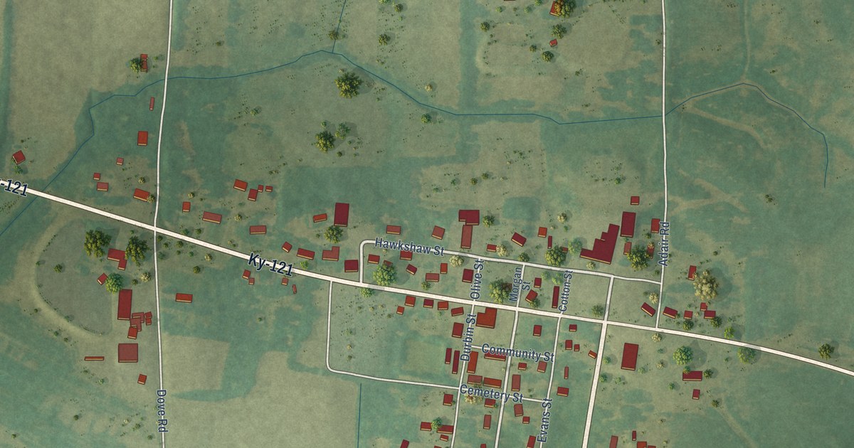
A detailed map of Farmington, Kentucky, showing every building in its true location, the roads by name, and shaded topographical relief.
Read More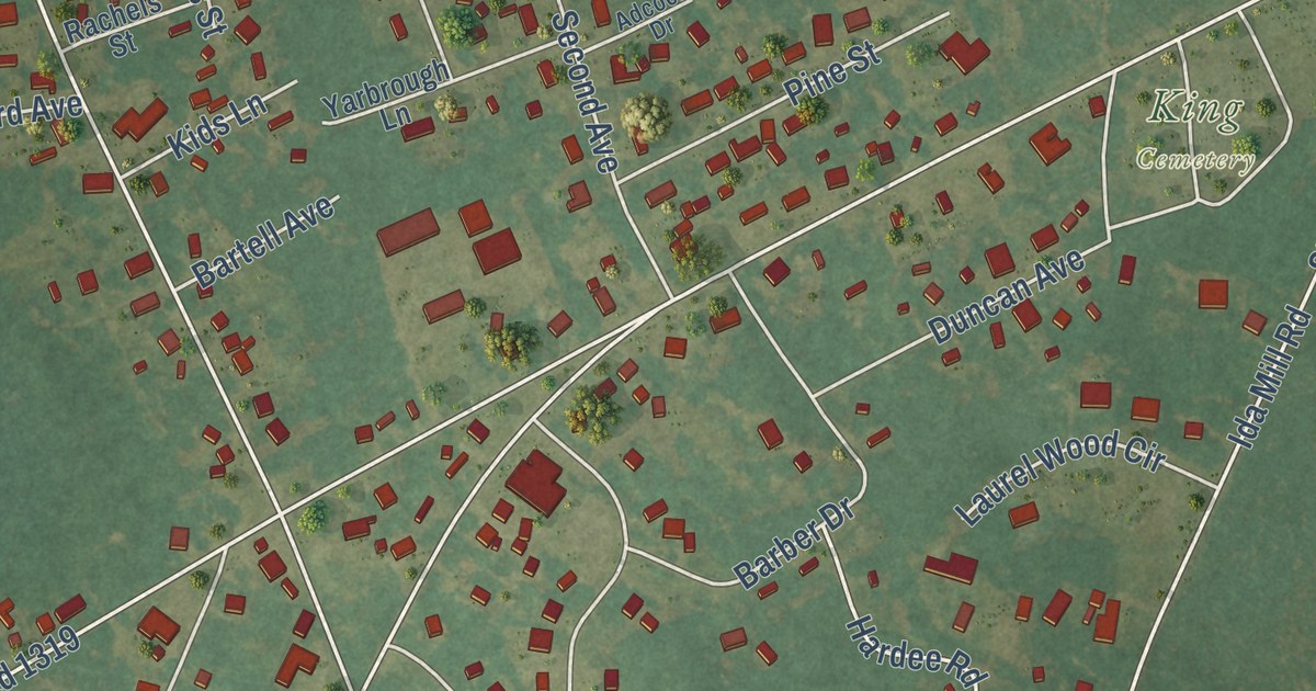
A detailed map of Laurel Hill, North Carolina, showing every building in its true location, the roads by name, and shaded topographical relief.
Read More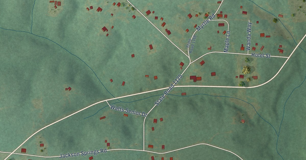
A detailed map of Jackson Springs, North Carolina, showing every building in its true location, the roads by name, and shaded topographical relief.
Read More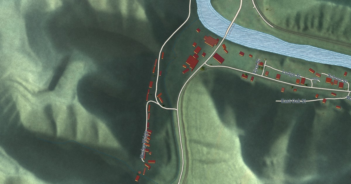
A detailed map of Freeburn, Kentucky, showing every building in its true location, the roads by name, and shaded topographical relief.
Read More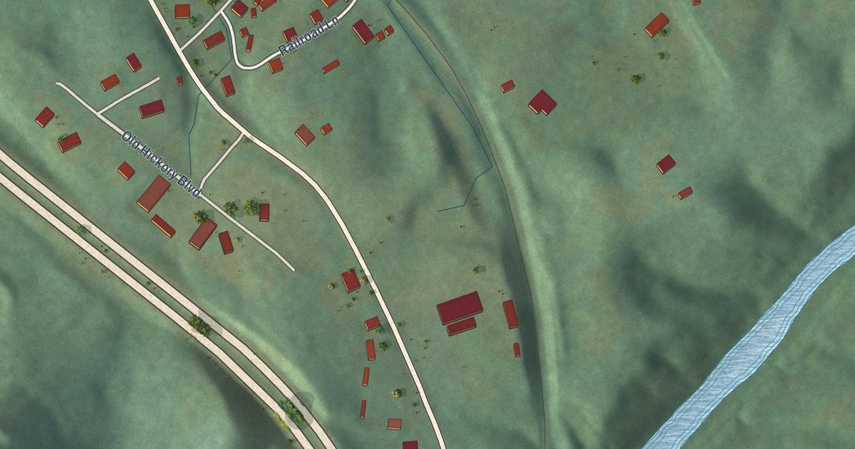
A detailed map of Emlyn, Kentucky, showing every building in its true location, the roads by name, and shaded topographical relief.
Read More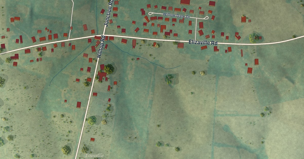
A detailed map of Elizaville, Kentucky, showing every building in its true location, the roads by name, and shaded topographical relief.
Read More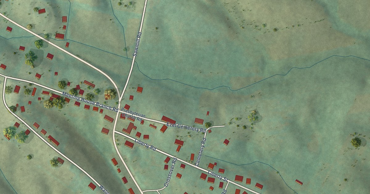
A detailed map of Ezel, Kentucky, showing every building in its true location, the roads by name, and shaded topographical relief.
Read More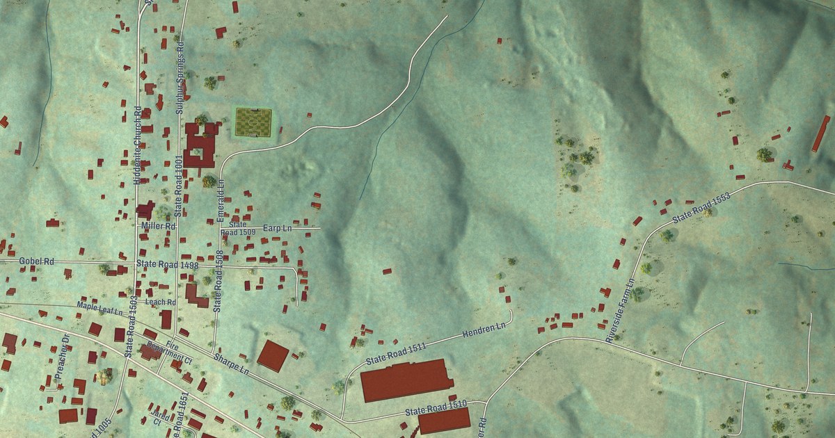
A detailed map of Hiddenite, North Carolina, showing every building in its true location, the roads by name, and shaded topographical relief.
Read More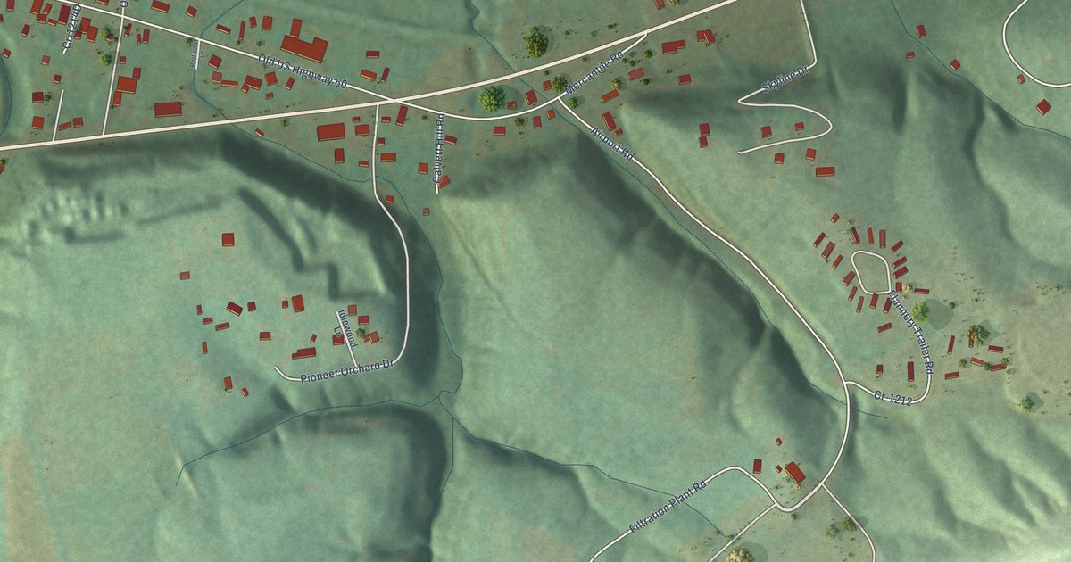
A detailed map of Farmers, Kentucky, showing every building in its true location, the roads by name, and shaded topographical relief.
Read More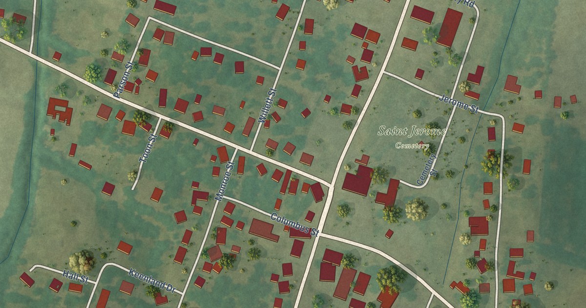
A detailed map of Fancy Farm, Kentucky, showing every building in its true location, the roads by name, and shaded topographical relief.
Read More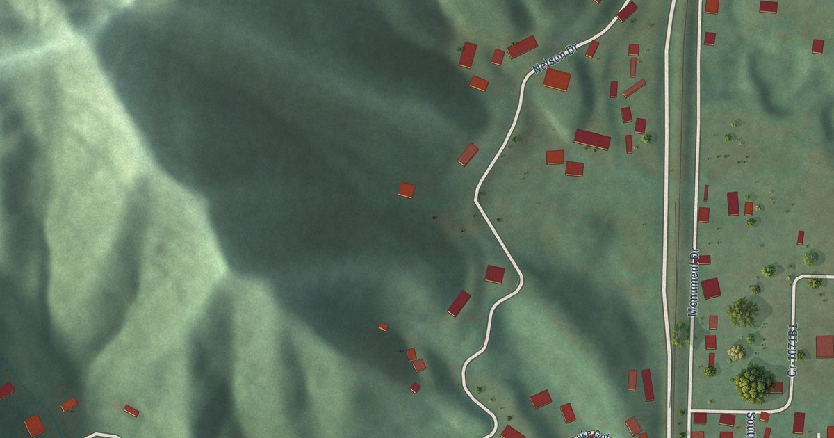
A detailed map of Dwale, Kentucky, showing every building in its true location, the roads by name, and shaded topographical relief.
Read More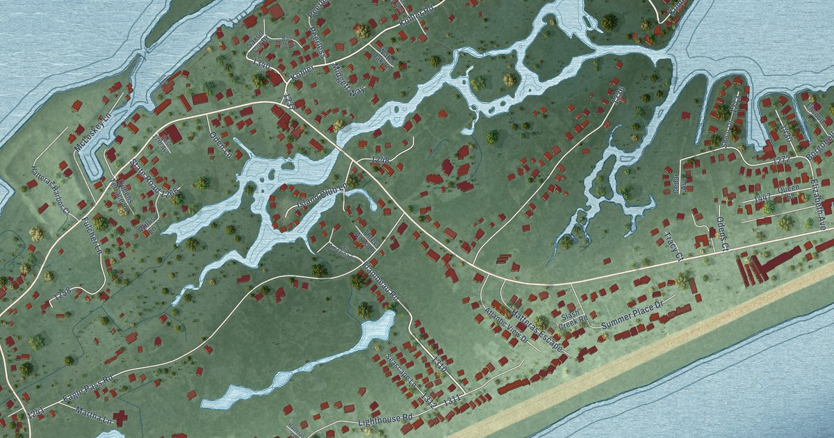
A detailed map of Hatteras, North Carolina, showing every building in its true location, the roads by name, and shaded topographical relief.
Read More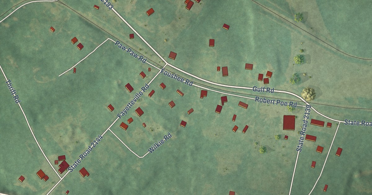
A detailed map of Gulf, North Carolina, showing every building in its true location, the roads by name, and shaded topographical relief.
Read More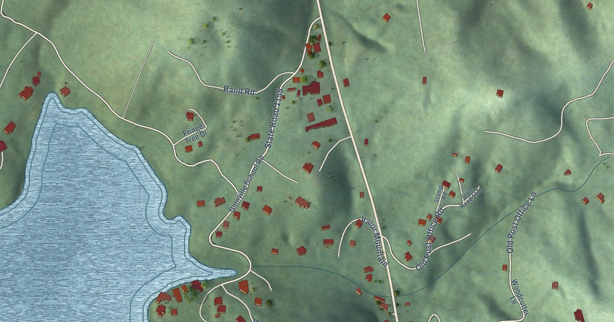
A detailed map of Glenville, North Carolina, showing every building in its true location, the roads by name, and shaded topographical relief.
Read More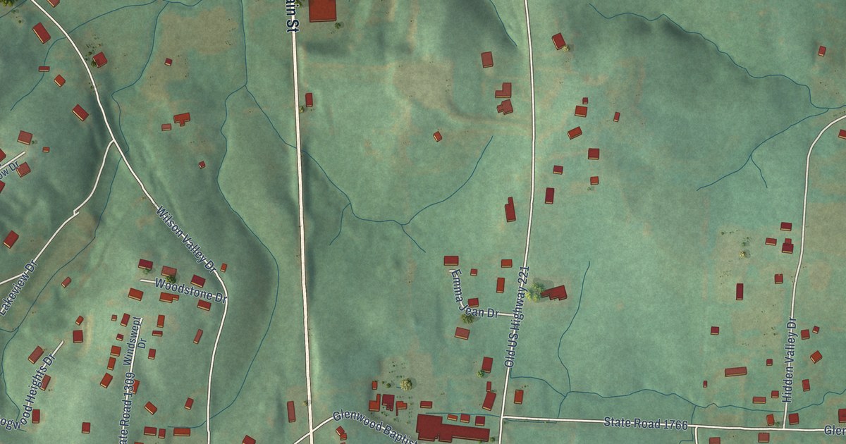
A detailed map of Glenwood, North Carolina, showing every building in its true location, the roads by name, and shaded topographical relief.
Read More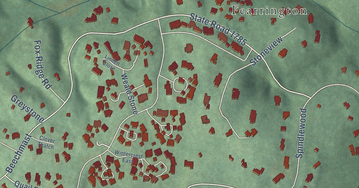
A detailed map of Fearrington Village, North Carolina, showing every building in its true location, the roads by name, and shaded topographical relief.
Read More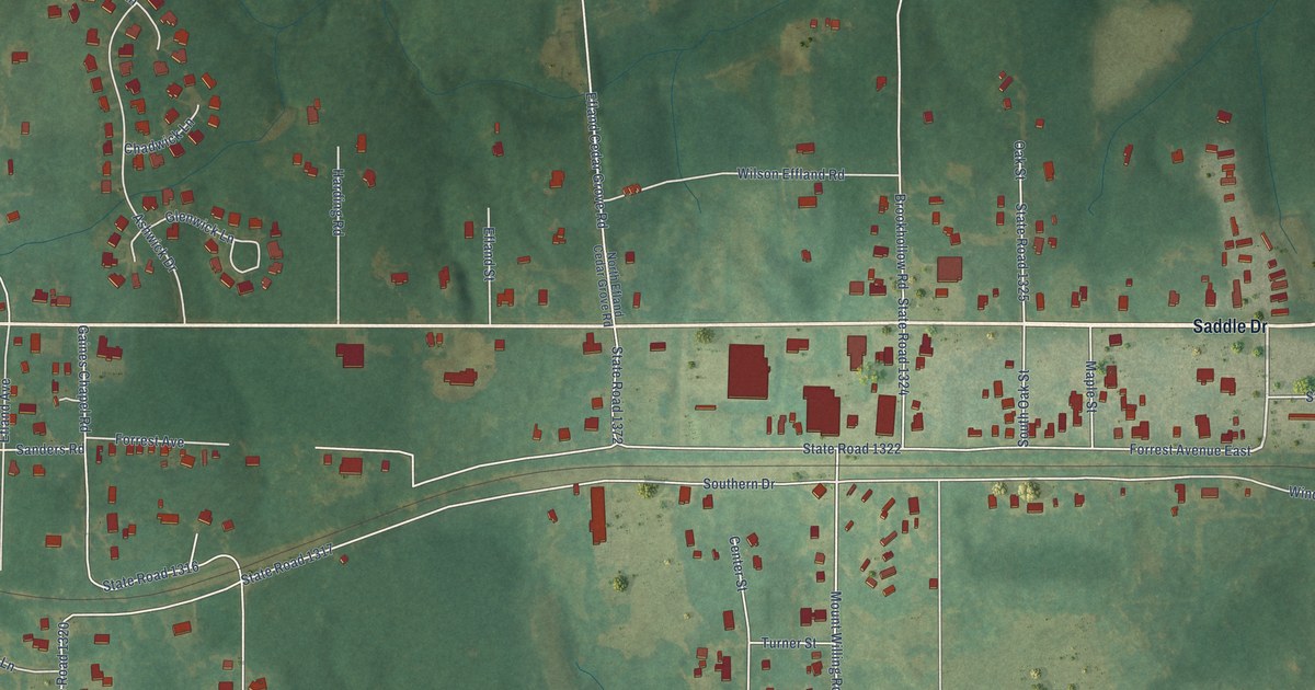
A detailed map of Efland, North Carolina, showing every building in its true location, the roads by name, and shaded topographical relief.
Read More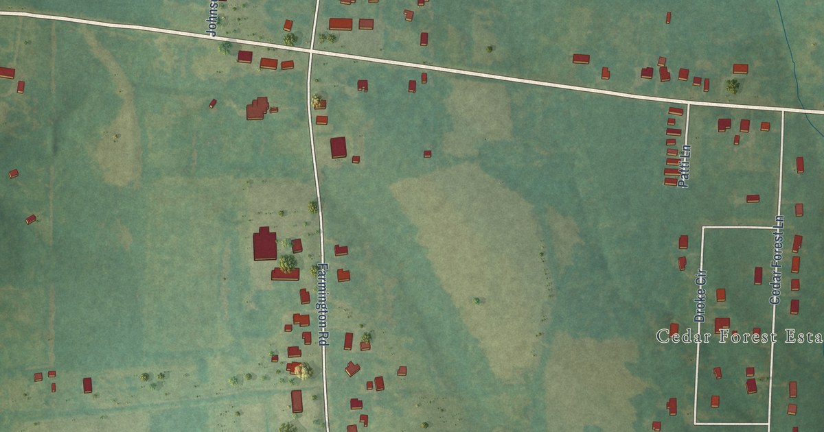
A detailed map of Farmington, North Carolina, showing every building in its true location, the roads by name, and shaded topographical relief.
Read More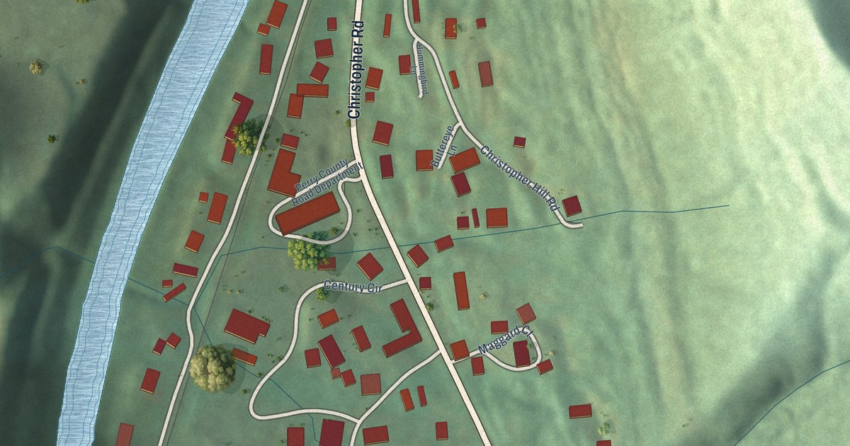
A detailed map of Diablock, Kentucky, showing every building in its true location, the roads by name, and shaded topographical relief.
Read More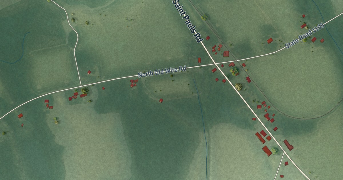
A detailed map of Dundarrach, North Carolina, showing every building in its true location, the roads by name, and shaded topographical relief.
Read More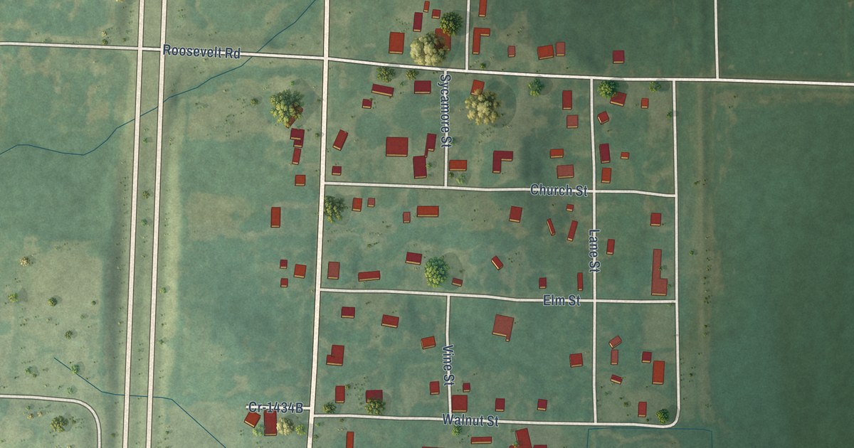
A detailed map of Dexter, Kentucky, showing every building in its true location, the roads by name, and shaded topographical relief.
Read More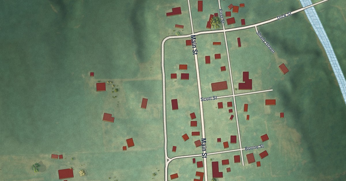
A detailed map of Curdsville, Kentucky, showing every building in its true location, the roads by name, and shaded topographical relief.
Read More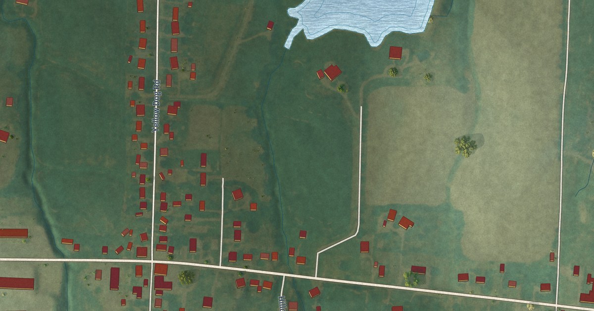
A detailed map of Cunningham, Kentucky, showing every building in its true location, the roads by name, and shaded topographical relief.
Read More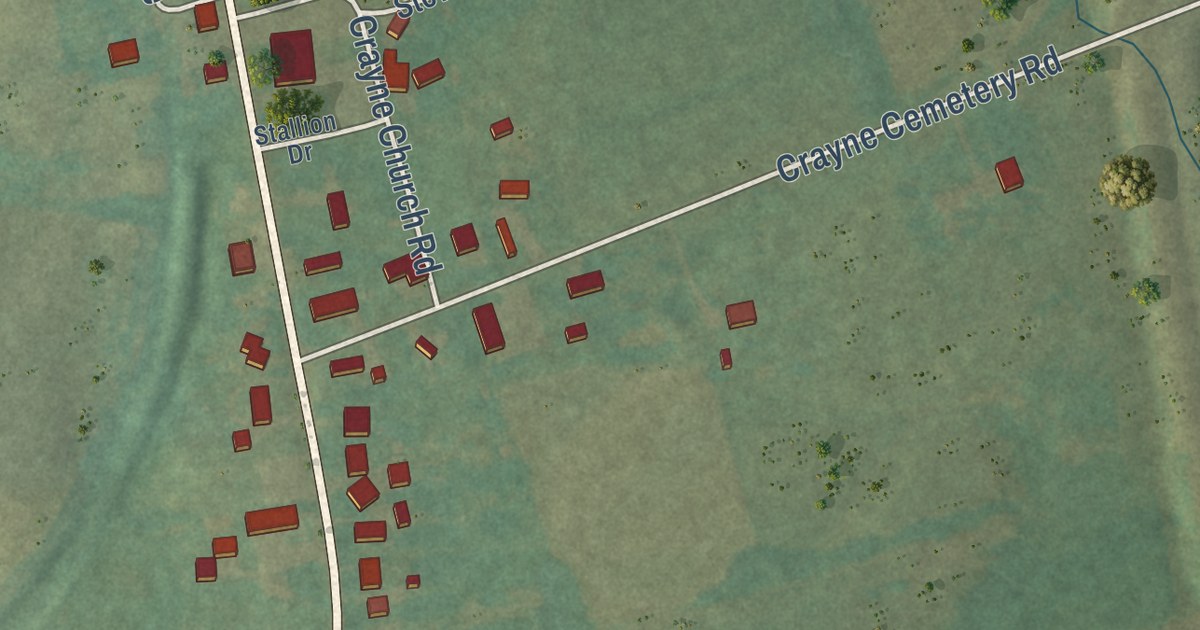
A detailed map of Crayne, Kentucky, showing every building in its true location, the roads by name, and shaded topographical relief.
Read More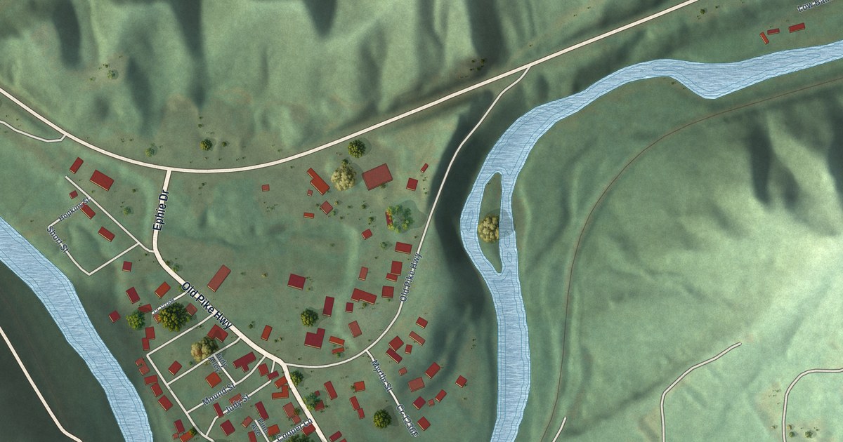
A detailed map of Coldiron, Kentucky, showing every building in its true location, the roads by name, and shaded topographical relief.
Read More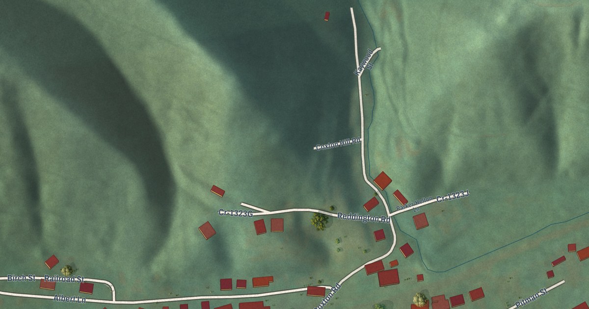
A detailed map of Coxton, Kentucky, showing every building in its true location, the roads by name, and shaded topographical relief.
Read More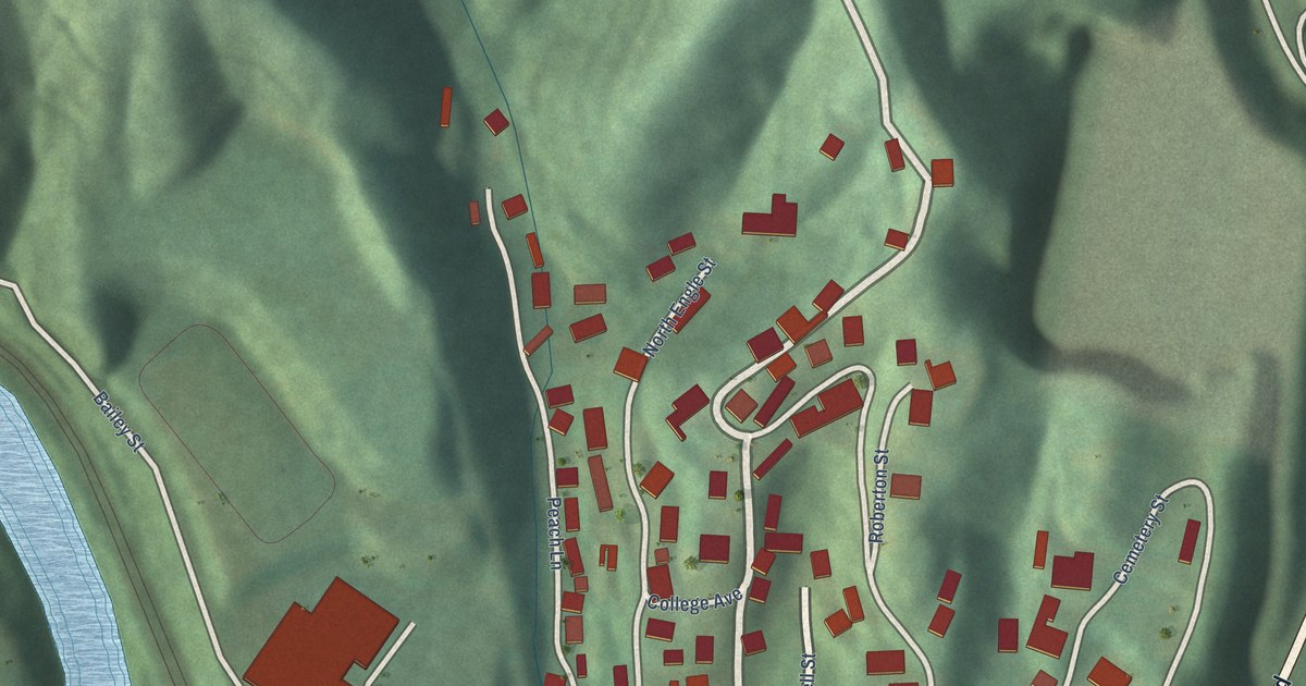
A detailed map of Combs, Kentucky, showing every building in its true location, the roads by name, and shaded topographical relief.
Read More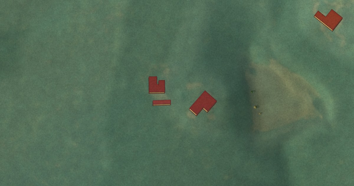
A detailed map of Dellview, North Carolina, showing every building in its true location, the roads by name, and shaded topographical relief.
Read More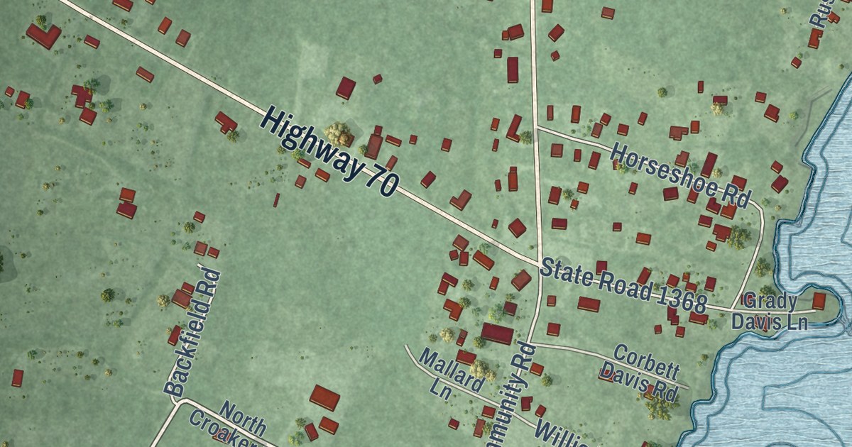
A detailed map of Davis, North Carolina, showing every building in its true location, the roads by name, and shaded topographical relief.
Read More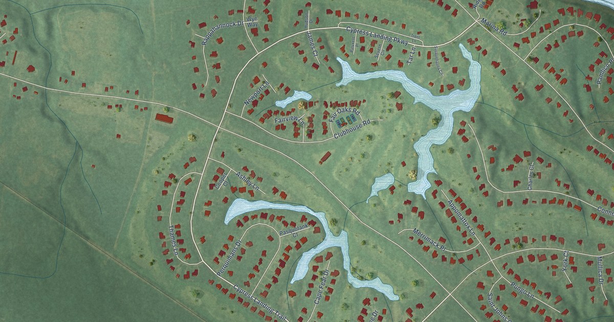
A detailed map of Cypress Landing, North Carolina, showing every building in its true location, the roads by name, and shaded topographical relief.
Read More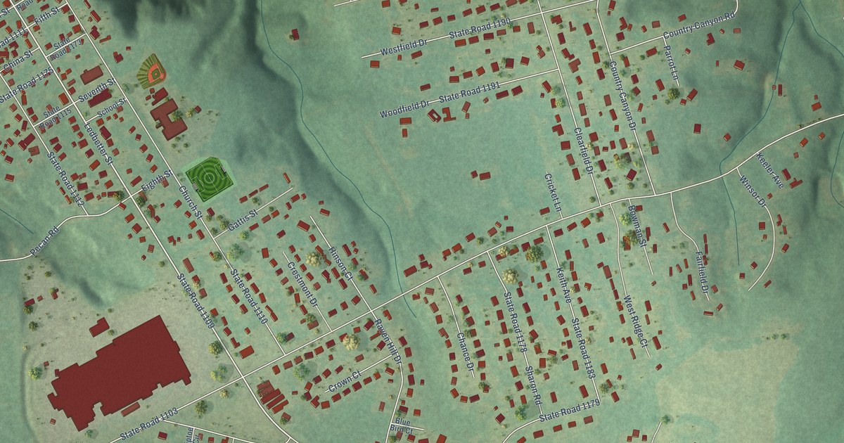
A detailed map of Cordova, North Carolina, showing every building in its true location, the roads by name, and shaded topographical relief.
Read More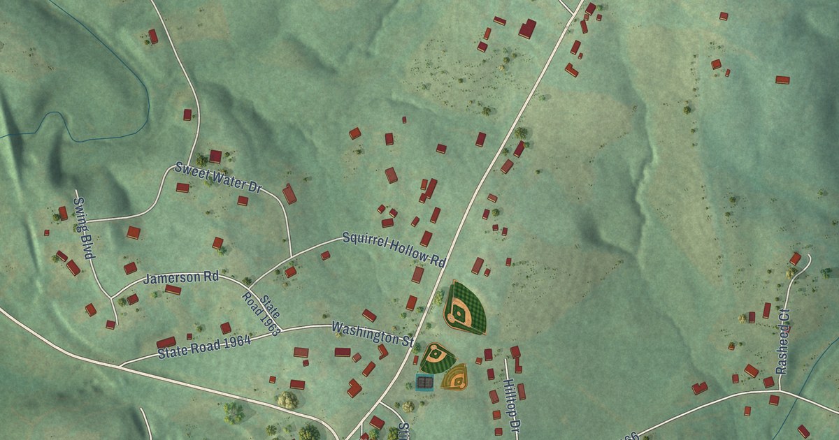
A detailed map of Cliffside, North Carolina, showing every building in its true location, the roads by name, and shaded topographical relief.
Read More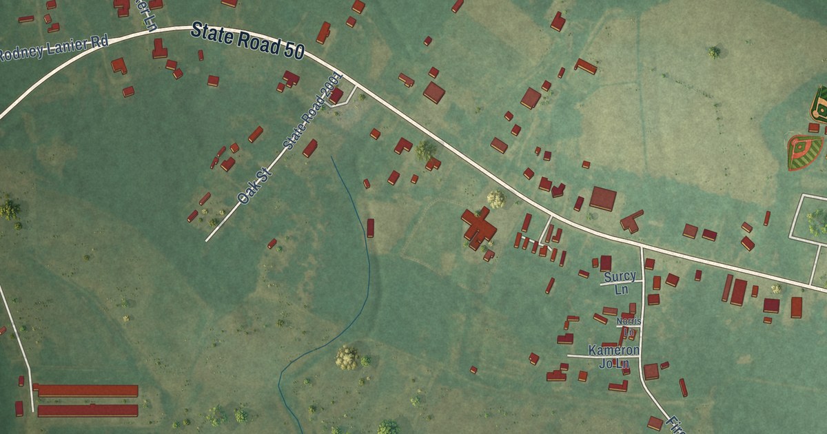
A detailed map of Chinquapin, North Carolina, showing every building in its true location, the roads by name, and shaded topographical relief.
Read More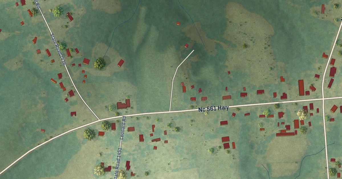
A detailed map of Centerville, North Carolina, showing every building in its true location, the roads by name, and shaded topographical relief.
Read More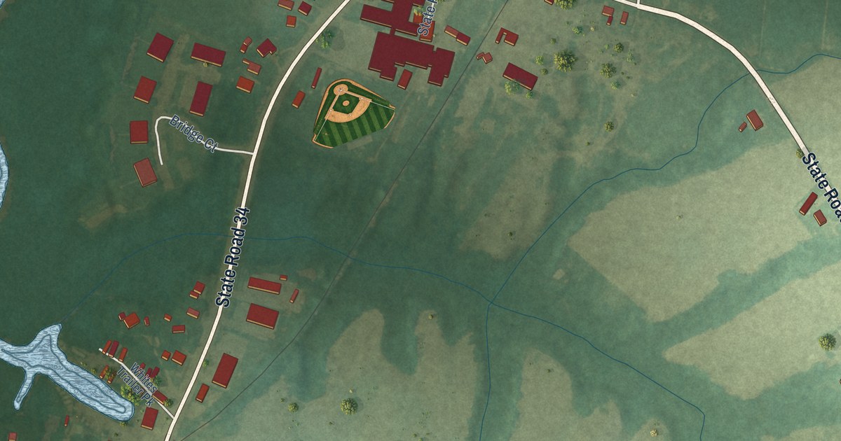
A detailed map of Camden, North Carolina, showing every building in its true location, the roads by name, and shaded topographical relief.
Read More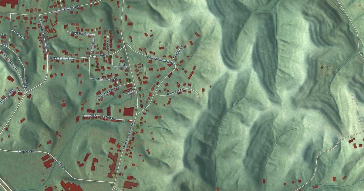
A detailed map of Cannonsburg, Kentucky, showing every building in its true location, the roads by name, and shaded topographical relief.
Read More















