Detailed Map of Big Clifty, Kentucky
A detailed map of Big Clifty, Kentucky, showing every building in its true location, the roads by name, and shaded topographical relief.
Read More
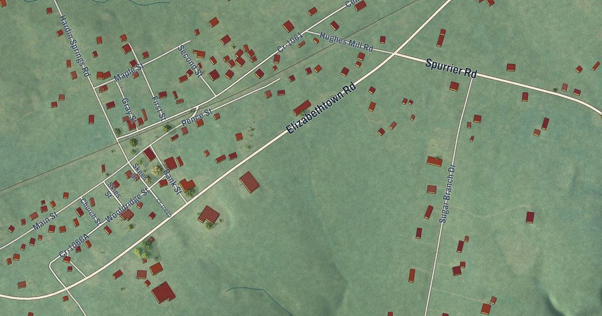
A detailed map of Big Clifty, Kentucky, showing every building in its true location, the roads by name, and shaded topographical relief.
Read More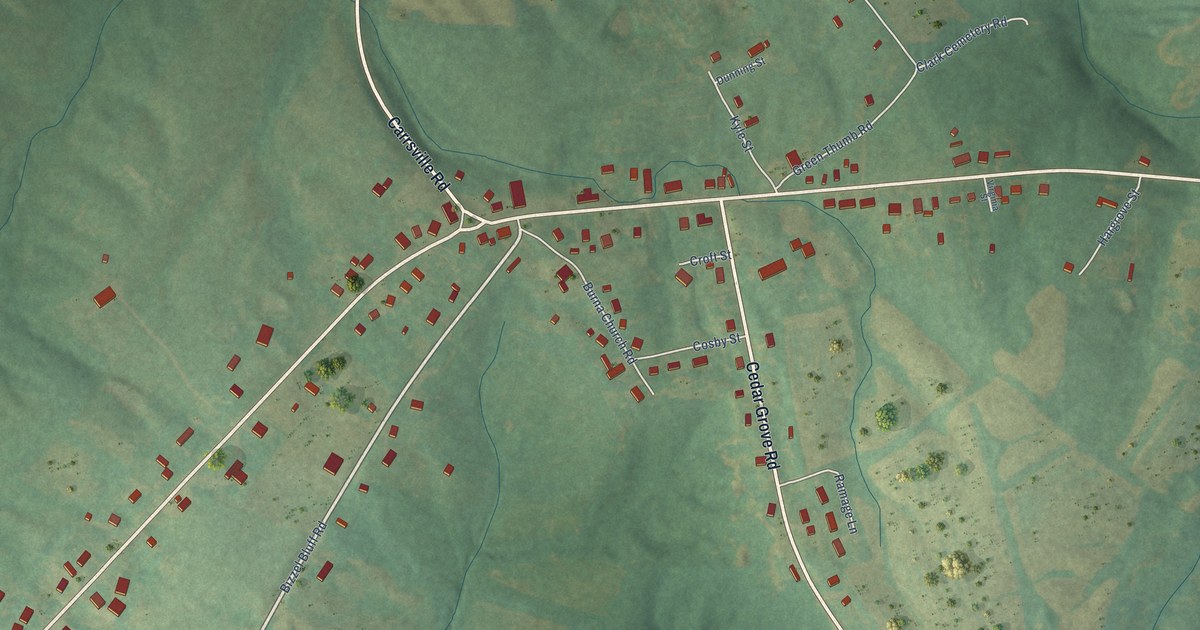
A detailed map of Burna, Kentucky, showing every building in its true location, the roads by name, and shaded topographical relief.
Read More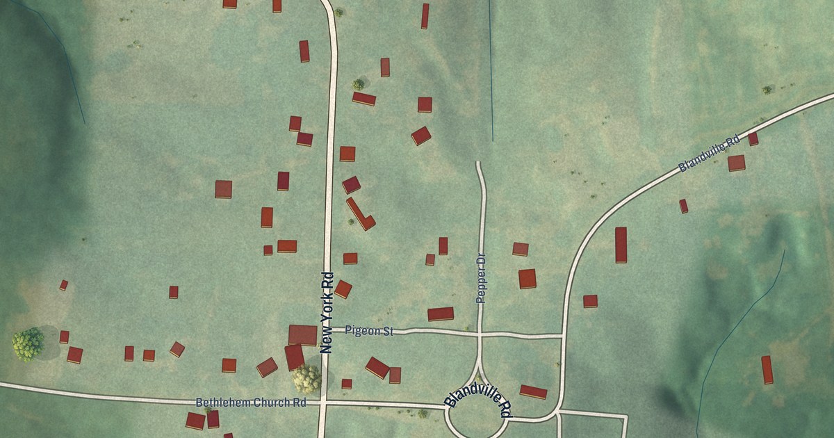
A detailed map of Blandville, Kentucky, showing every building in its true location, the roads by name, and shaded topographical relief.
Read More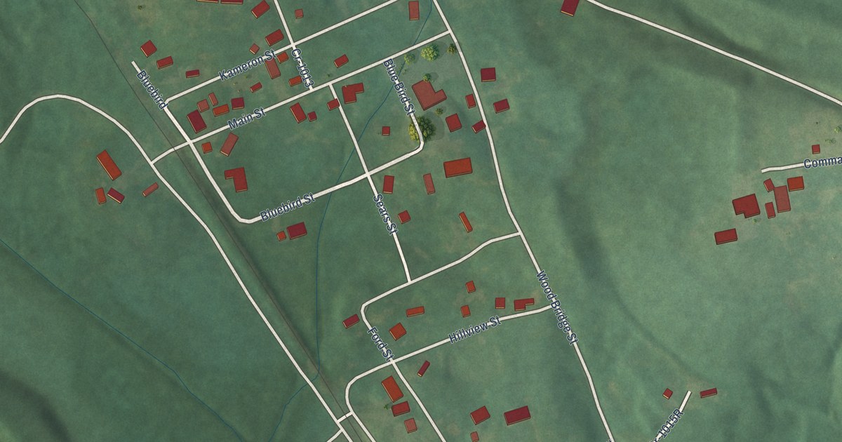
A detailed map of Cleaton, Kentucky, showing every building in its true location, the roads by name, and shaded topographical relief.
Read More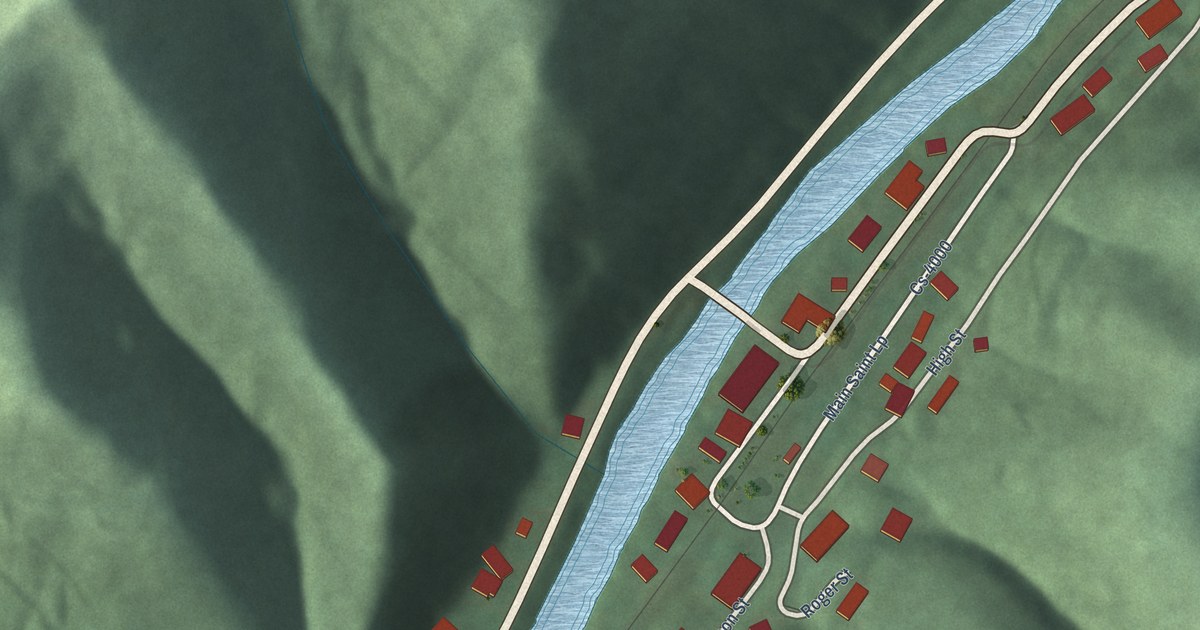
A detailed map of Blackey, Kentucky, showing every building in its true location, the roads by name, and shaded topographical relief.
Read More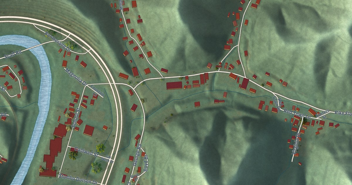
A detailed map of Betsy Layne, Kentucky, showing every building in its true location, the roads by name, and shaded topographical relief.
Read More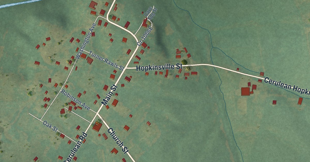
A detailed map of Cerulean, Kentucky, showing every building in its true location, the roads by name, and shaded topographical relief.
Read More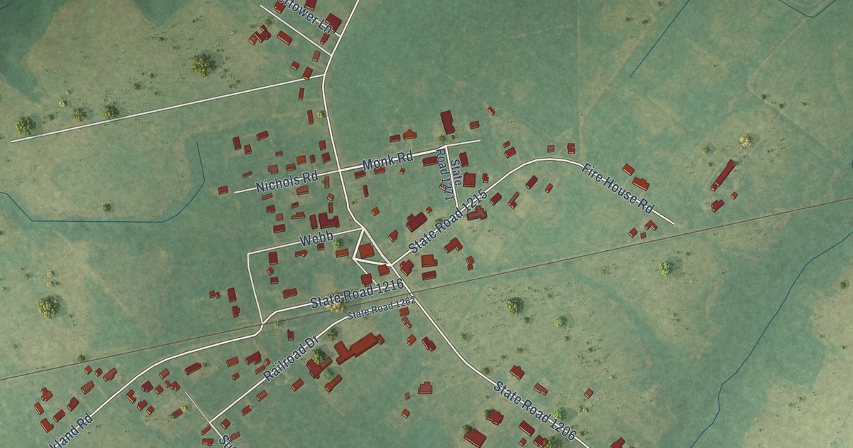
A detailed map of Bell Arthur, North Carolina, showing every building in its true location, the roads by name, and shaded topographical relief.
Read More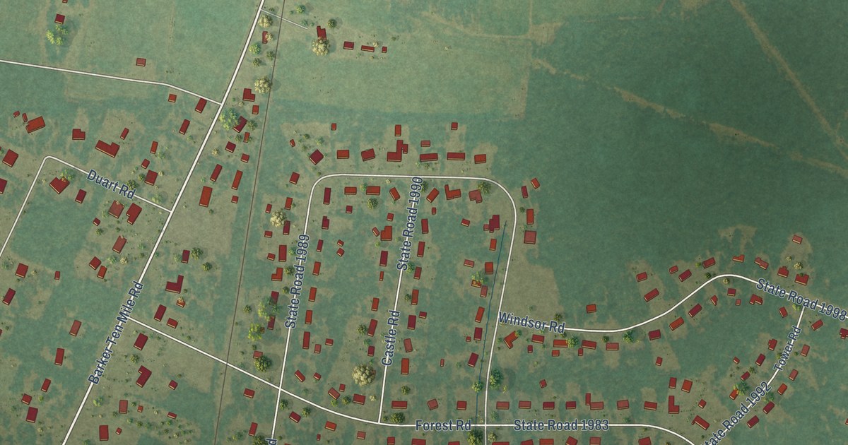
A detailed map of Barker Ten Mile, North Carolina, showing every building in its true location, the roads by name, and shaded topographical relief.
Read More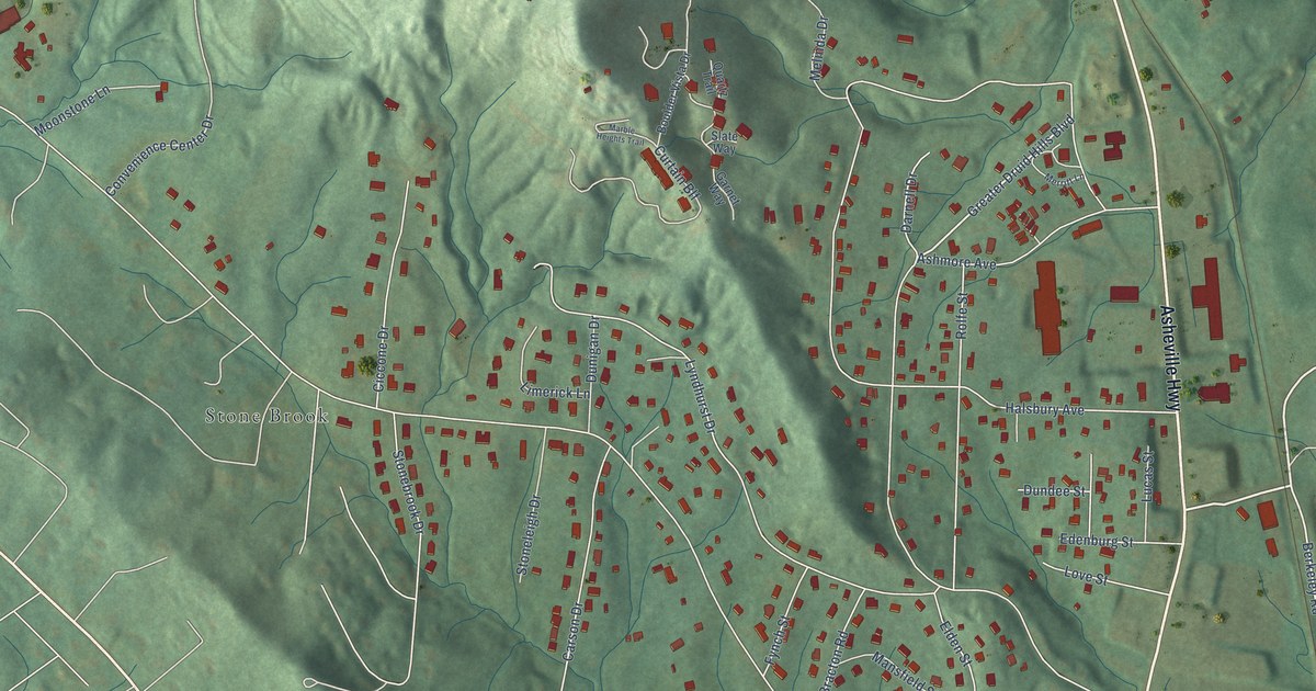
A detailed map of Balfour, North Carolina, showing every building in its true location, the roads by name, and shaded topographical relief.
Read More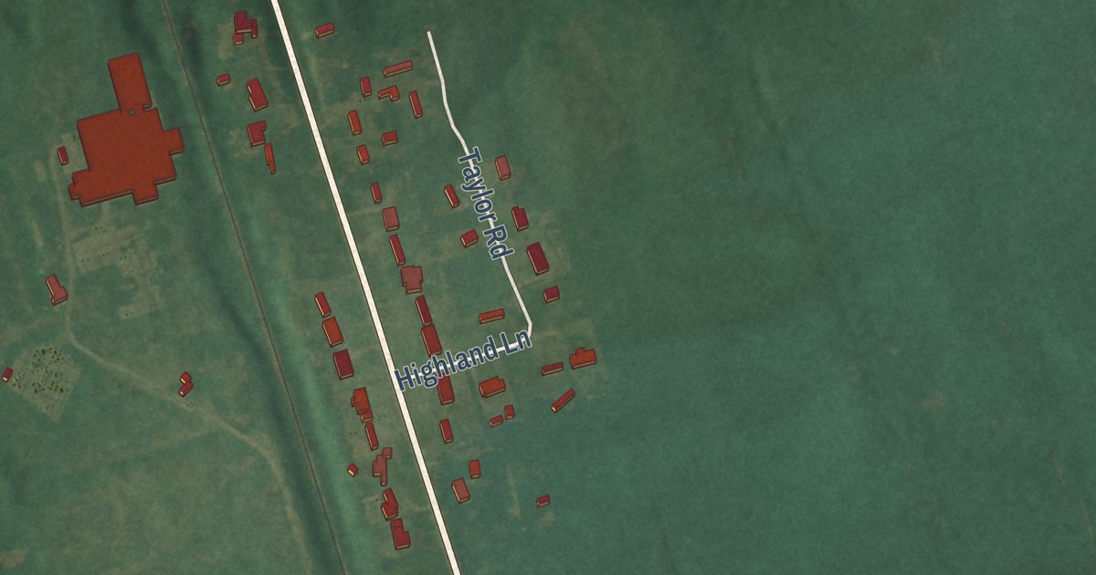
A detailed map of Bowdens, North Carolina, showing every building in its true location, the roads by name, and shaded topographical relief.
Read More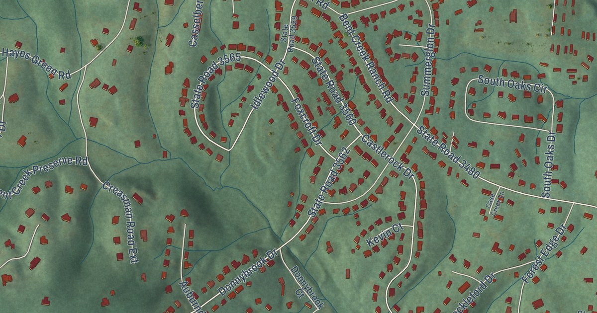
A detailed map of Bent Creek, North Carolina, showing every building in its true location, the roads by name, and shaded topographical relief.
Read More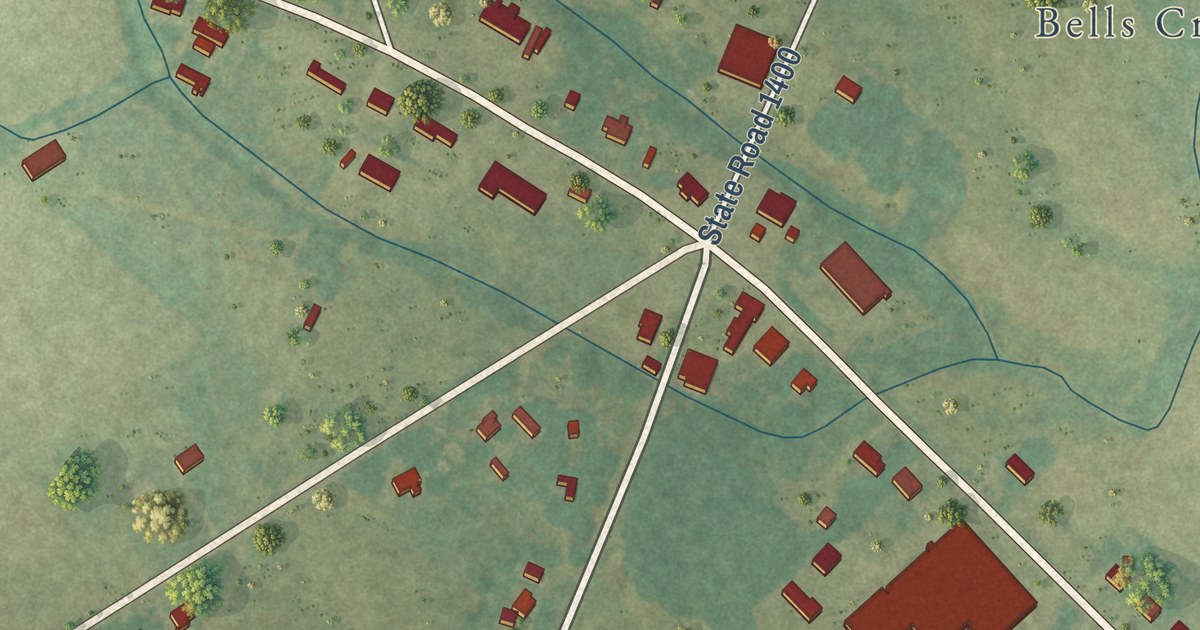
A detailed map of Belvoir, North Carolina, showing every building in its true location, the roads by name, and shaded topographical relief.
Read More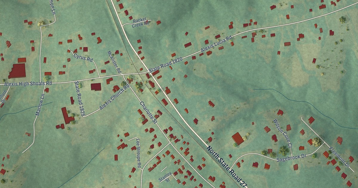
A detailed map of Alexis, North Carolina, showing every building in its true location, the roads by name, and shaded topographical relief.
Read More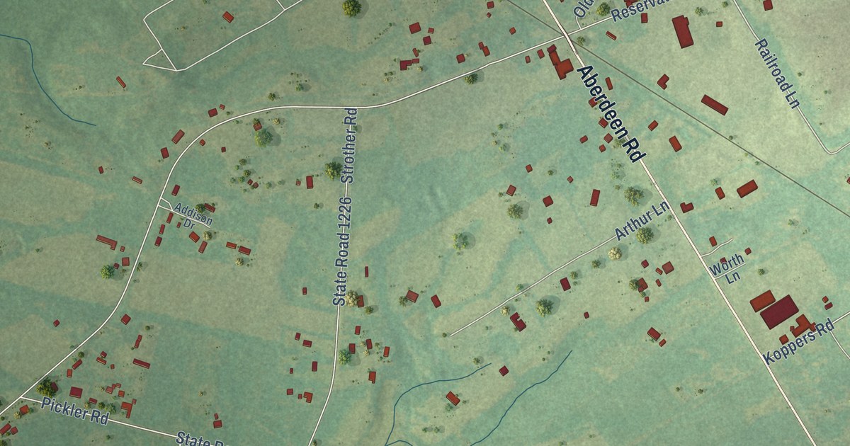
A detailed map of Ashley Heights, North Carolina, showing every building in its true location, the roads by name, and shaded topographical relief.
Read More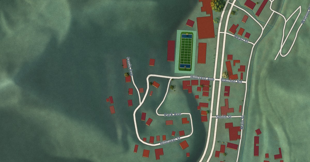
A detailed map of Belfry, Kentucky, showing every building in its true location, the roads by name, and shaded topographical relief.
Read More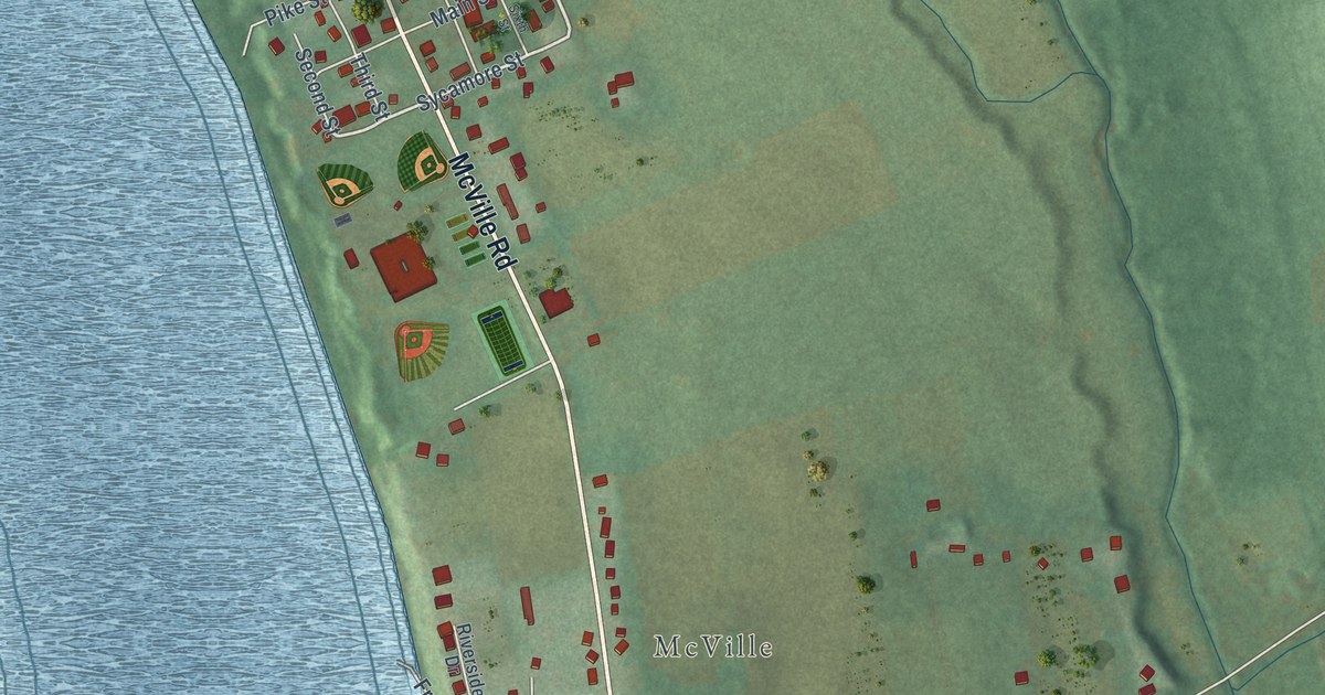
A detailed map of Belleview, Kentucky, showing every building in its true location, the roads by name, and shaded topographical relief.
Read More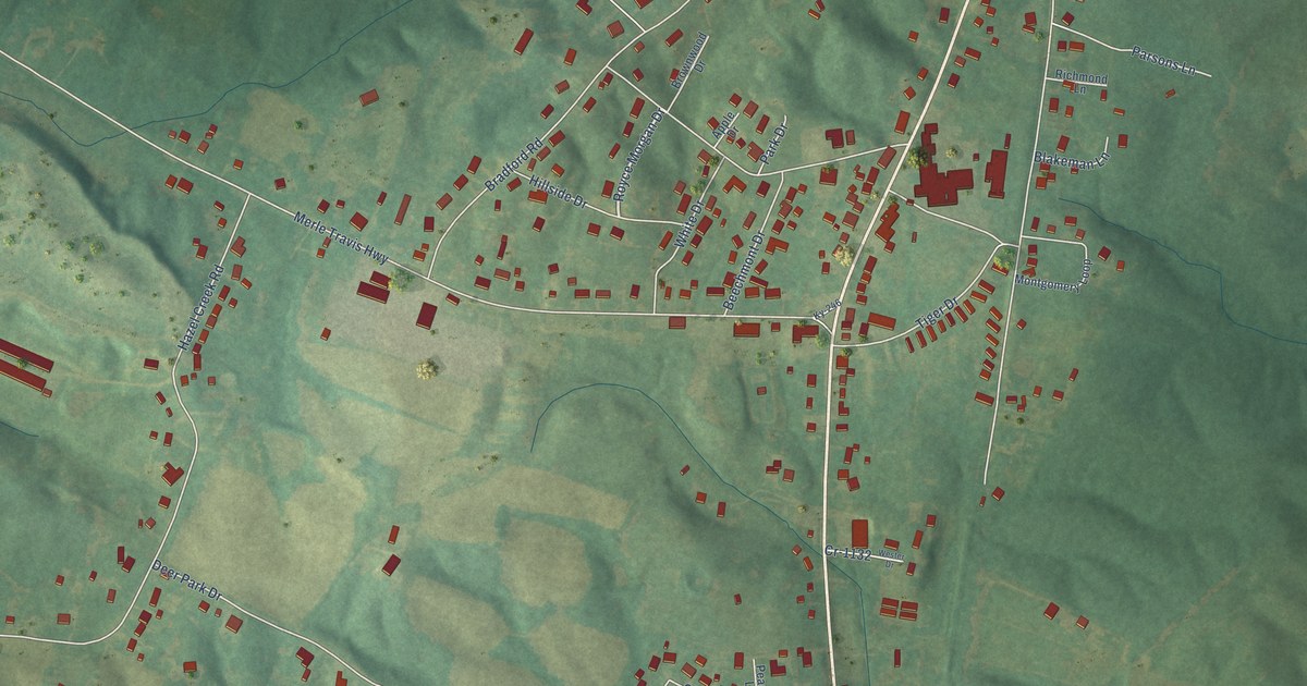
A detailed map of Beechmont, Kentucky, showing every building in its true location, the roads by name, and shaded topographical relief.
Read More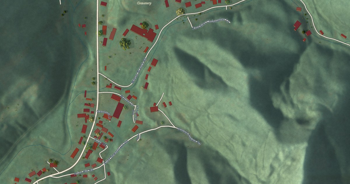
A detailed map of Arjay, Kentucky, showing every building in its true location, the roads by name, and shaded topographical relief.
Read More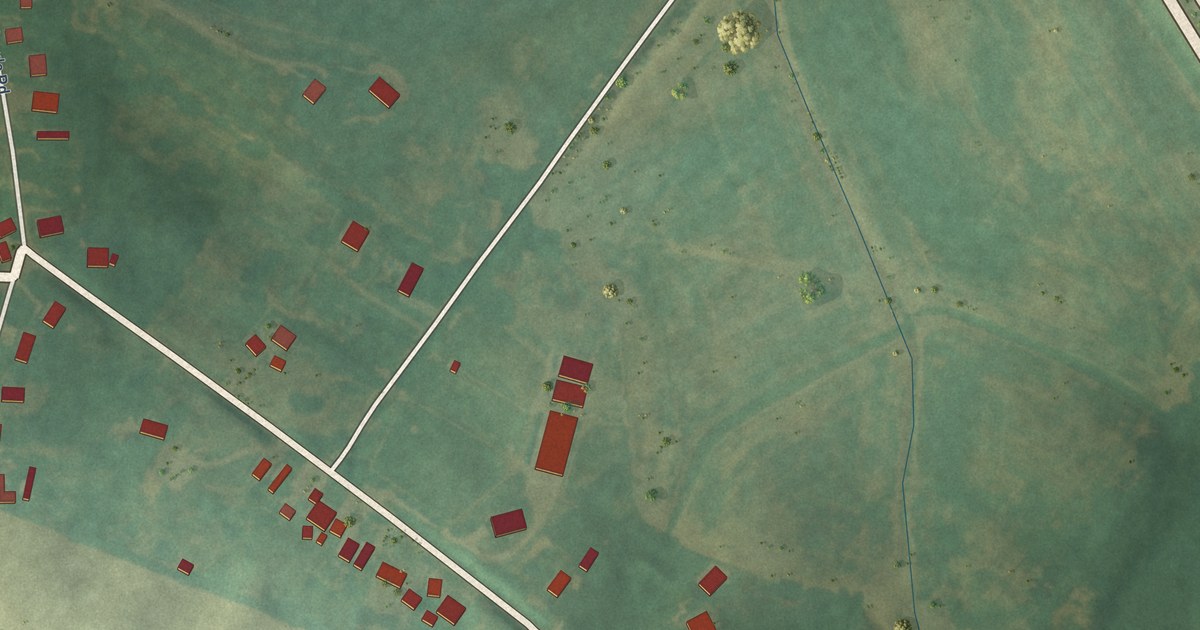
A detailed map of Anthoston, Kentucky, showing every building in its true location, the roads by name, and shaded topographical relief.
Read More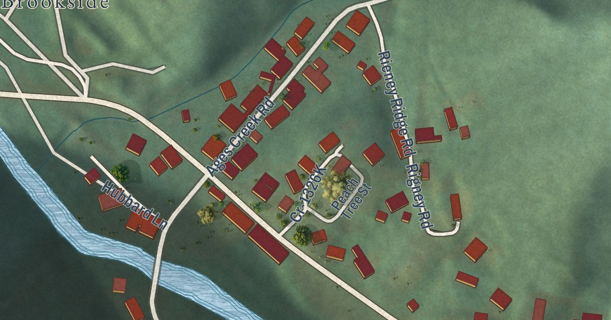
A detailed map of Ages, Kentucky, showing every building in its true location, the roads by name, and shaded topographical relief.
Read More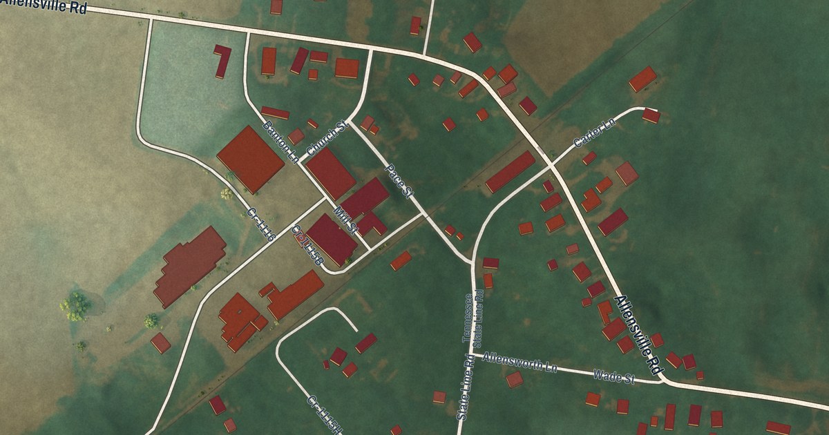
A detailed map of Allensville, Kentucky, showing every building in its true location, the roads by name, and shaded topographical relief.
Read More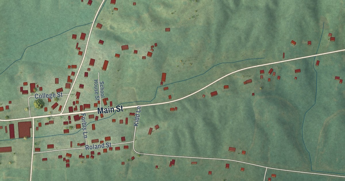
A detailed map of Beech Grove, Kentucky, showing every building in its true location, the roads by name, and shaded topographical relief.
Read More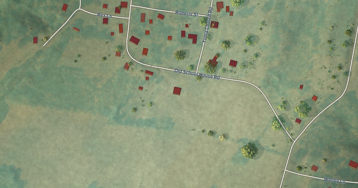
A detailed map of Yuma, Tennessee, showing every building in its true location, the roads by name, and shaded topographical relief.
Read More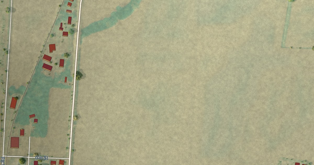
A detailed map of Wynnburg, Tennessee, showing every building in its true location, the roads by name, and shaded topographical relief.
Read More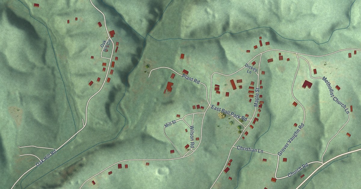
A detailed map of Wrigley, Tennessee, showing every building in its true location, the roads by name, and shaded topographical relief.
Read More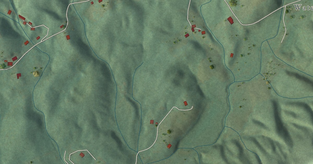
A detailed map of Walland, Tennessee, showing every building in its true location, the roads by name, and shaded topographical relief.
Read More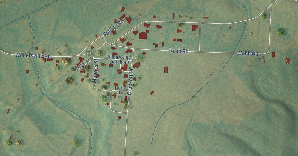
A detailed map of Wildersville, Tennessee, showing every building in its true location, the roads by name, and shaded topographical relief.
Read More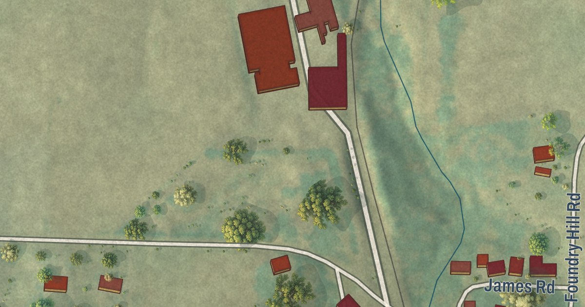
A detailed map of Whitlock, Tennessee, showing every building in its true location, the roads by name, and shaded topographical relief.
Read More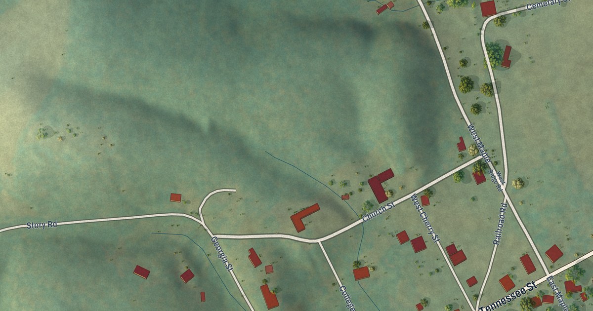
A detailed map of Westpoint, Tennessee, showing every building in its true location, the roads by name, and shaded topographical relief.
Read More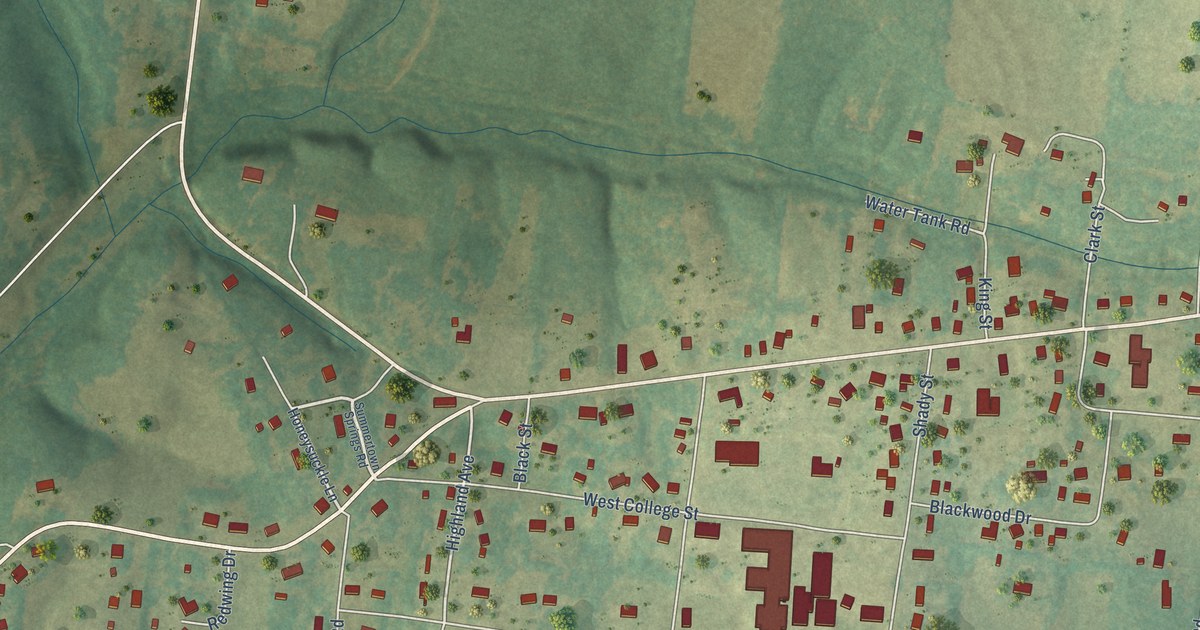
A detailed map of Summertown, Tennessee, showing every building in its true location, the roads by name, and shaded topographical relief.
Read More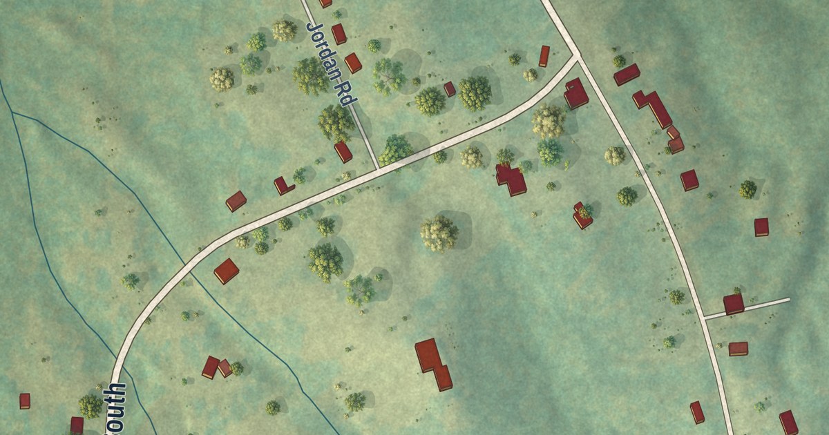
A detailed map of Shiloh, Tennessee, showing every building in its true location, the roads by name, and shaded topographical relief.
Read More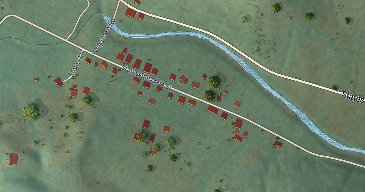
A detailed map of Statesville, Tennessee, showing every building in its true location, the roads by name, and shaded topographical relief.
Read More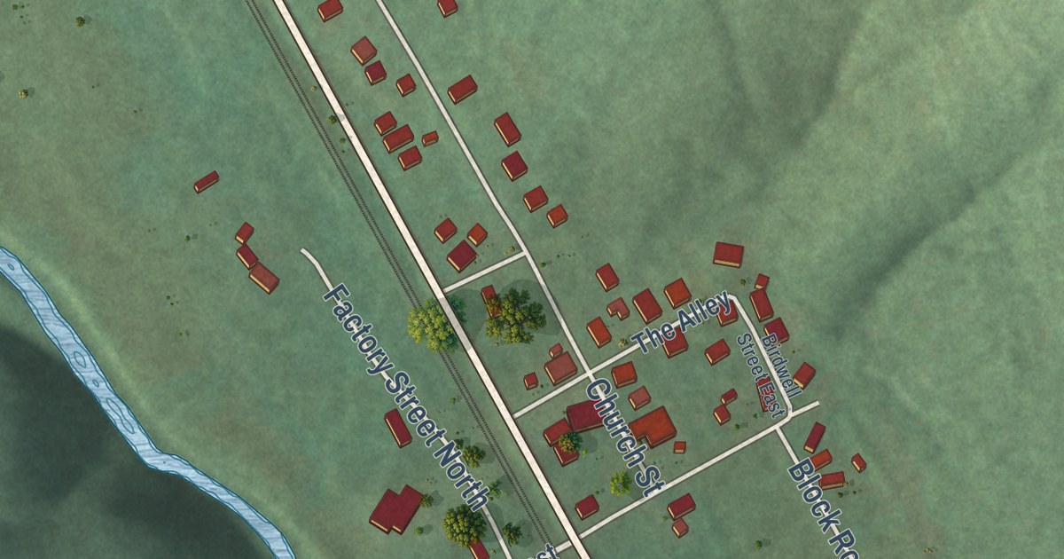
A detailed map of Sherwood, Tennessee, showing every building in its true location, the roads by name, and shaded topographical relief.
Read More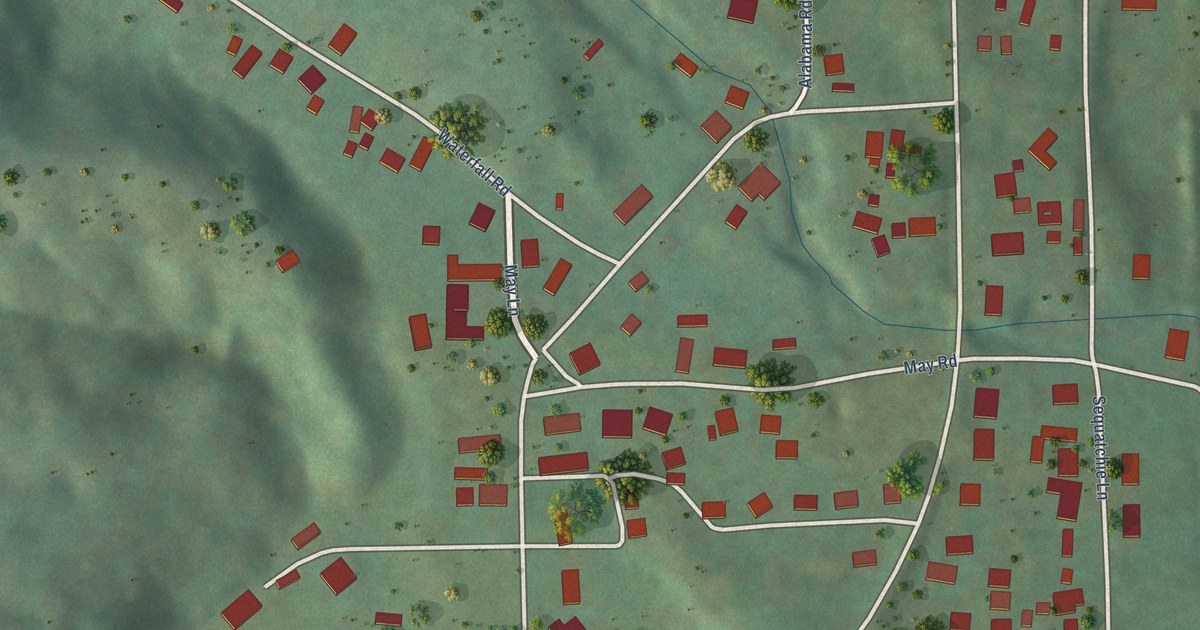
A detailed map of Sequatchie, Tennessee, showing every building in its true location, the roads by name, and shaded topographical relief.
Read More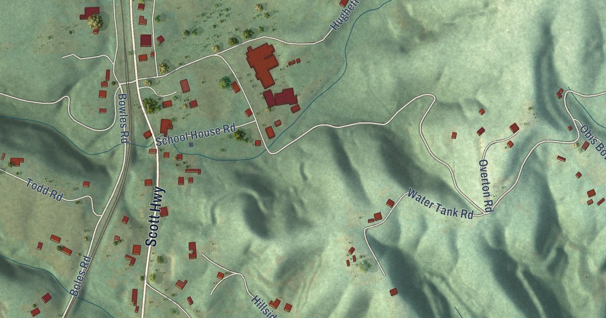
A detailed map of Robbins, Tennessee, showing every building in its true location, the roads by name, and shaded topographical relief.
Read More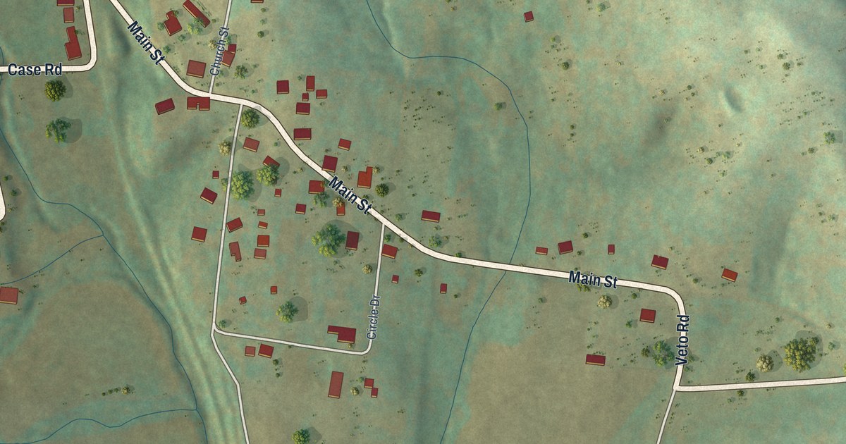
A detailed map of Prospect, Tennessee, showing every building in its true location, the roads by name, and shaded topographical relief.
Read More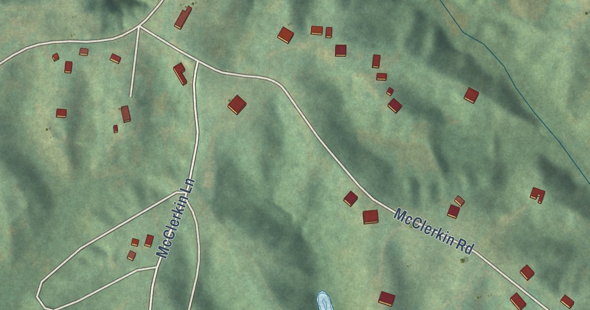
A detailed map of Randolph, Tennessee, showing every building in its true location, the roads by name, and shaded topographical relief.
Read More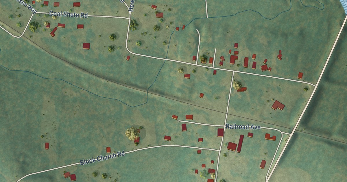
A detailed map of Pocahontas, Tennessee, showing every building in its true location, the roads by name, and shaded topographical relief.
Read More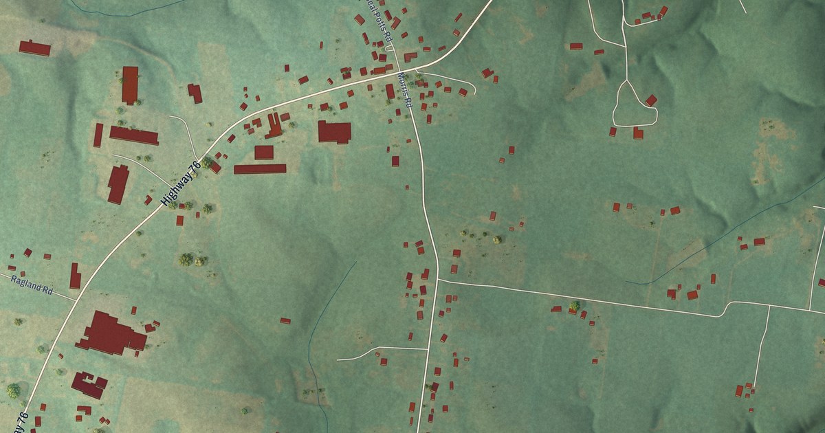
A detailed map of New Deal, Tennessee, showing every building in its true location, the roads by name, and shaded topographical relief.
Read More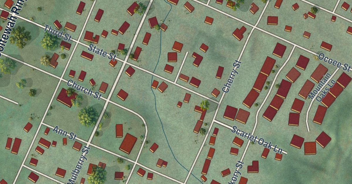
A detailed map of Ooltewah, Tennessee, showing every building in its true location, the roads by name, and shaded topographical relief.
Read More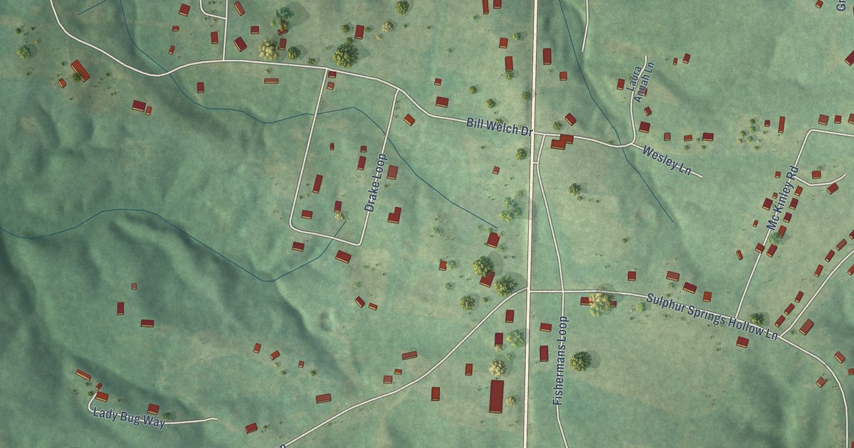
A detailed map of Nixon, Tennessee, showing every building in its true location, the roads by name, and shaded topographical relief.
Read More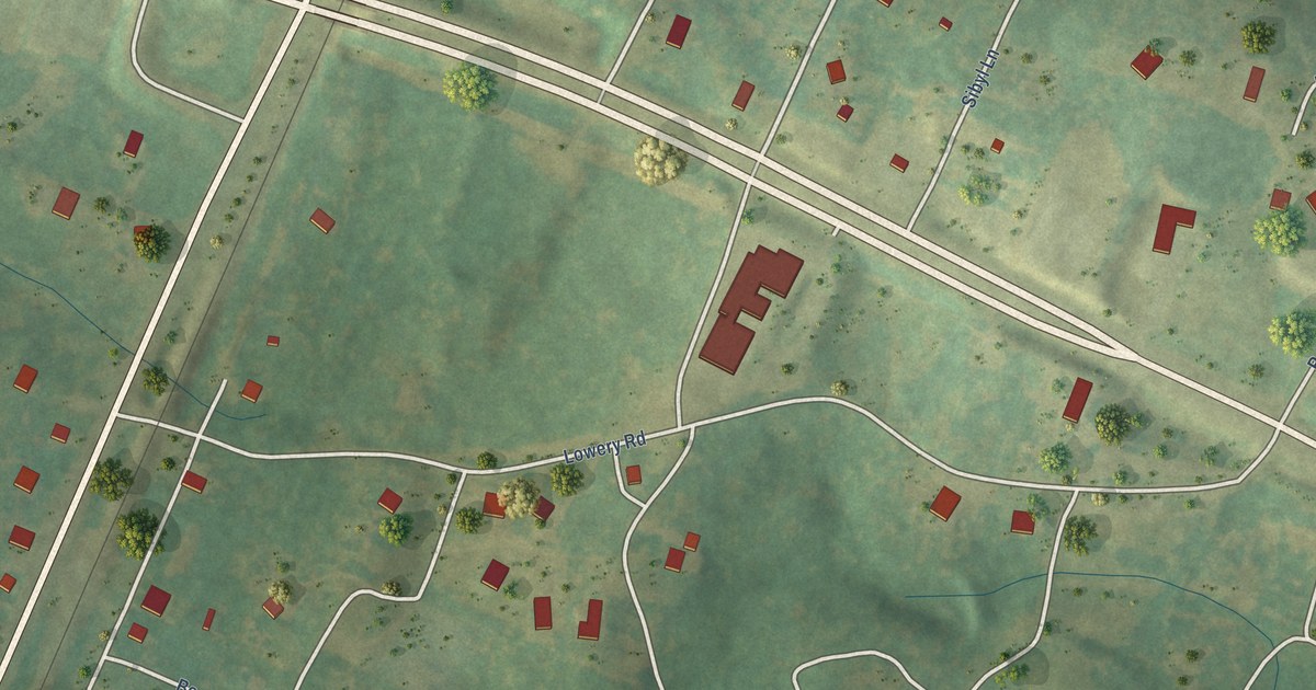
A detailed map of Ocoee, Tennessee, showing every building in its true location, the roads by name, and shaded topographical relief.
Read More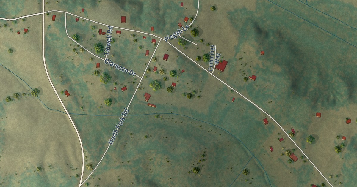
A detailed map of Morris Chapel, Tennessee, showing every building in its true location, the roads by name, and shaded topographical relief.
Read More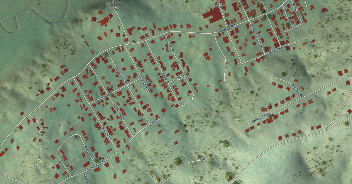
A detailed map of Orebank, Tennessee, showing every building in its true location, the roads by name, and shaded topographical relief.
Read More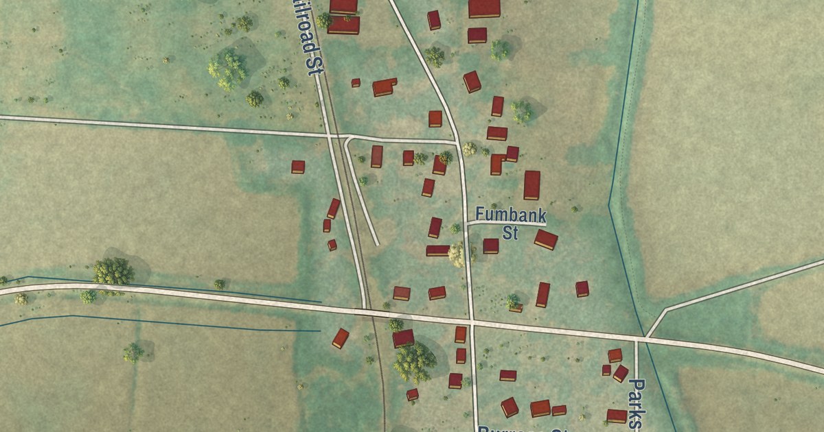
A detailed map of Miston, Tennessee, showing every building in its true location, the roads by name, and shaded topographical relief.
Read More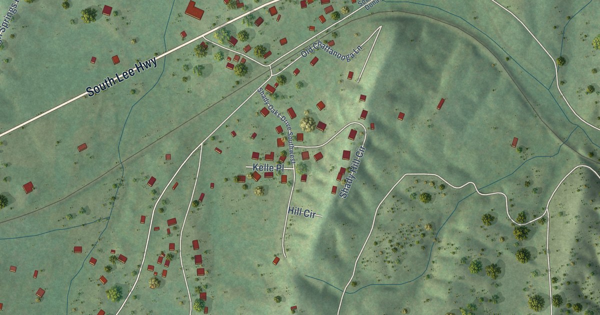
A detailed map of McDonald, Tennessee, showing every building in its true location, the roads by name, and shaded topographical relief.
Read More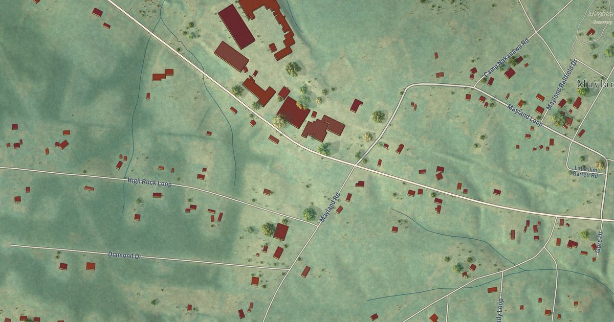
A detailed map of Mayland, Tennessee, showing every building in its true location, the roads by name, and shaded topographical relief.
Read More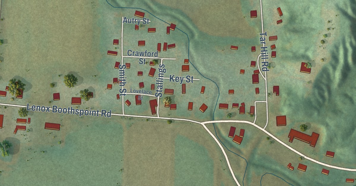
A detailed map of Lenox, Tennessee, showing every building in its true location, the roads by name, and shaded topographical relief.
Read More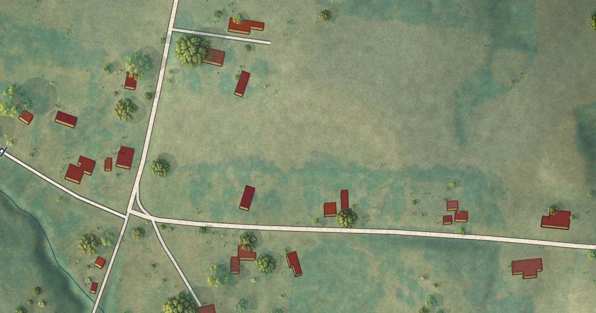
A detailed map of Lavinia, Tennessee, showing every building in its true location, the roads by name, and shaded topographical relief.
Read More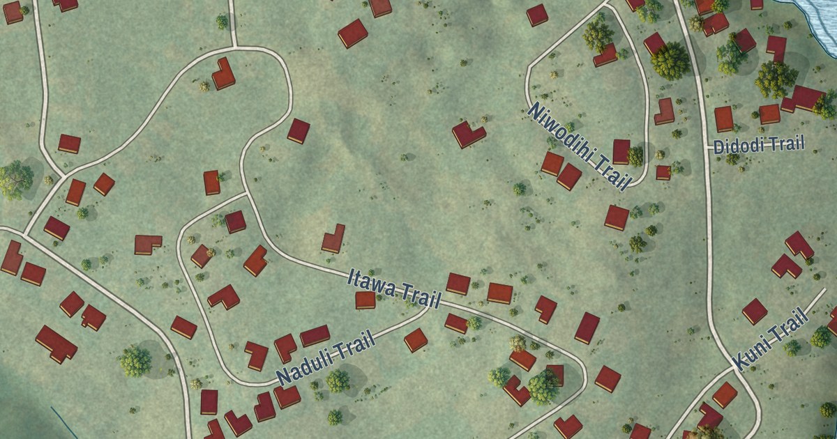
A detailed map of Kahite, Tennessee, showing every building in its true location, the roads by name, and shaded topographical relief.
Read More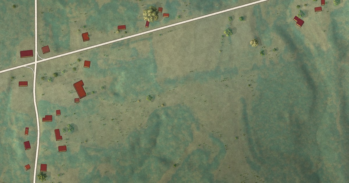
A detailed map of Jacks Creek, Tennessee, showing every building in its true location, the roads by name, and shaded topographical relief.
Read More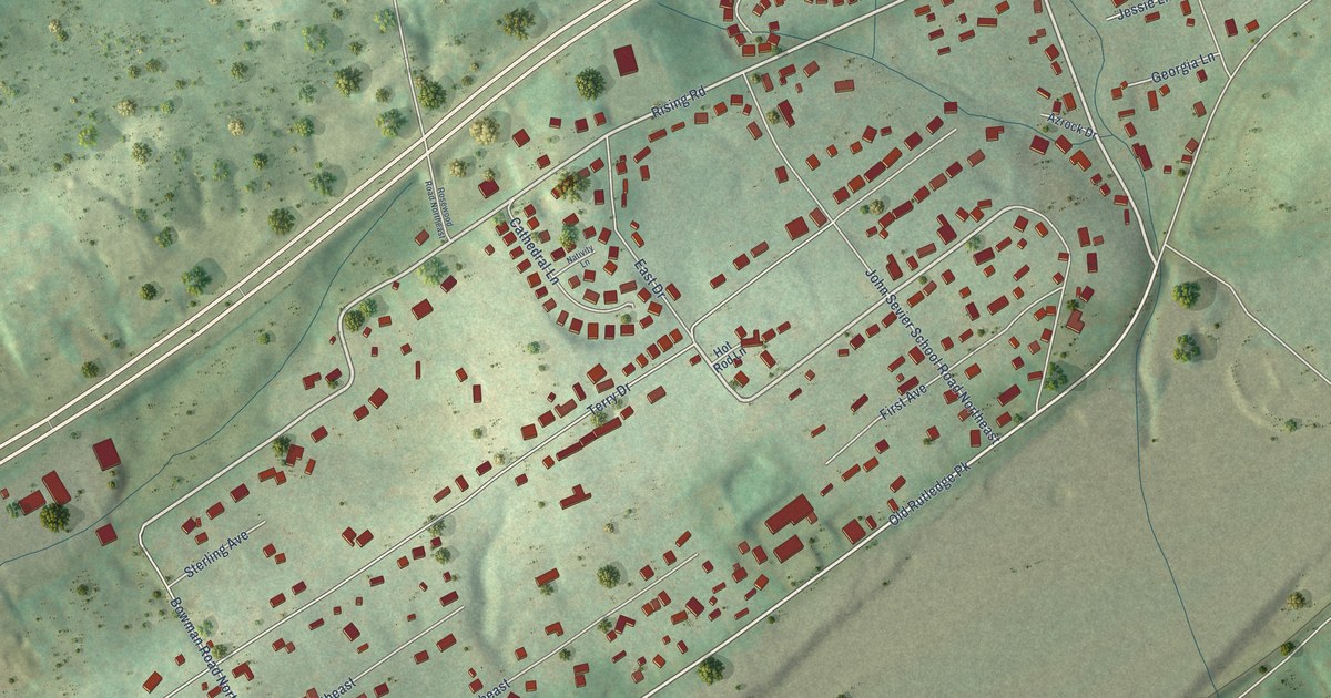
A detailed map of John Sevier, Tennessee, showing every building in its true location, the roads by name, and shaded topographical relief.
Read More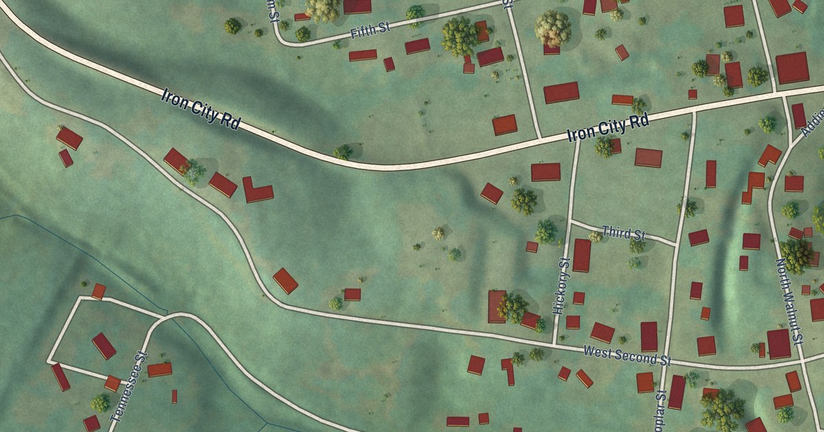
A detailed map of Iron City, Tennessee, showing every building in its true location, the roads by name, and shaded topographical relief.
Read More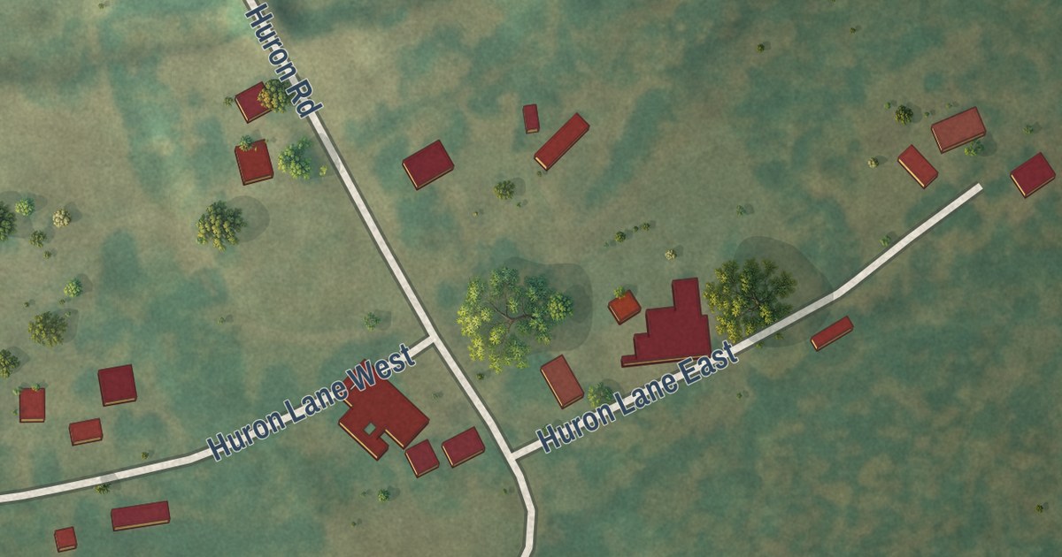
A detailed map of Huron, Tennessee, showing every building in its true location, the roads by name, and shaded topographical relief.
Read More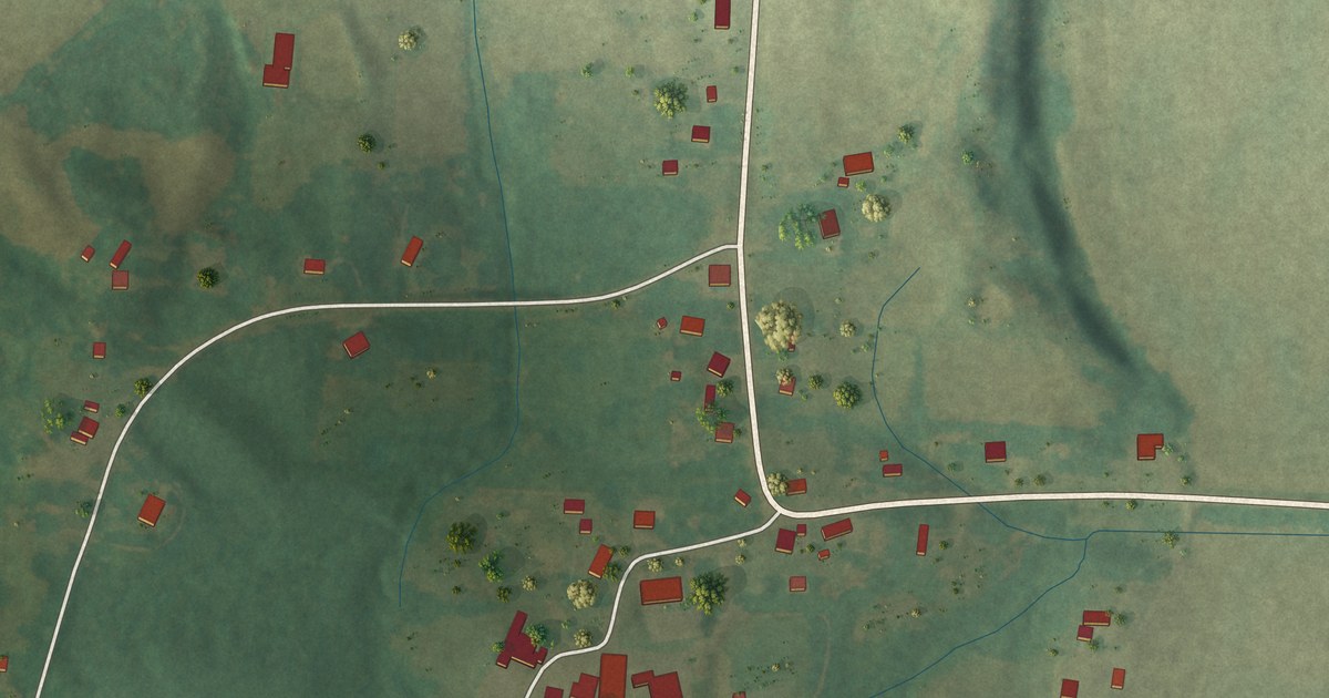
A detailed map of Holladay, Tennessee, showing every building in its true location, the roads by name, and shaded topographical relief.
Read More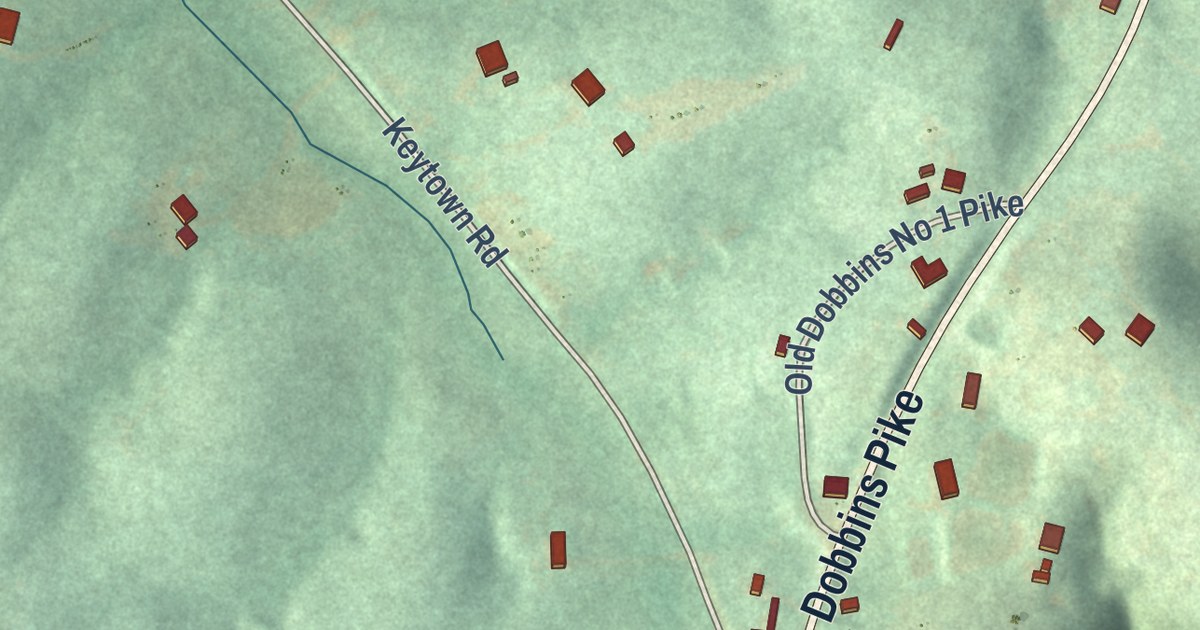
A detailed map of Graball, Tennessee, showing every building in its true location, the roads by name, and shaded topographical relief.
Read More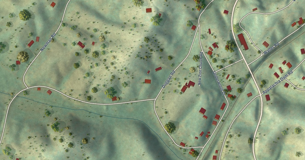
A detailed map of Farner, Tennessee, showing every building in its true location, the roads by name, and shaded topographical relief.
Read More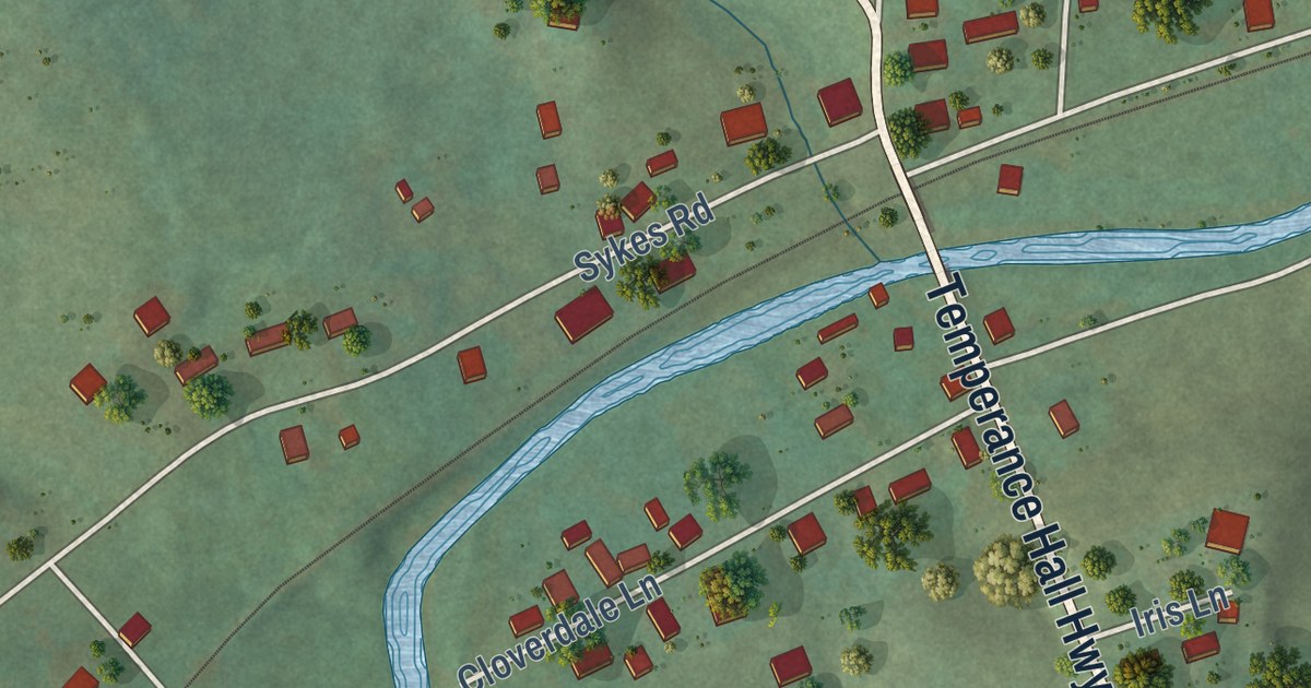
A detailed map of Hickman, Tennessee, showing every building in its true location, the roads by name, and shaded topographical relief.
Read More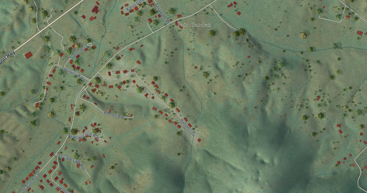
A detailed map of Fairgarden, Tennessee, showing every building in its true location, the roads by name, and shaded topographical relief.
Read More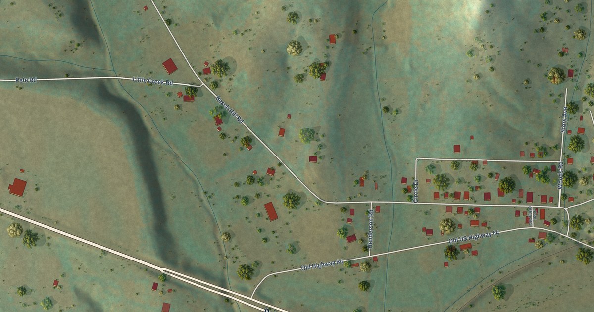
A detailed map of Frankewing, Tennessee, showing every building in its true location, the roads by name, and shaded topographical relief.
Read More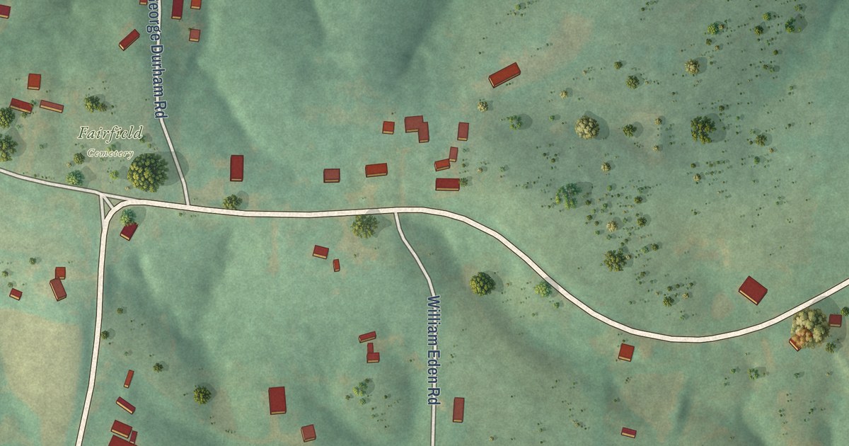
A detailed map of Fairfield, Tennessee, showing every building in its true location, the roads by name, and shaded topographical relief.
Read More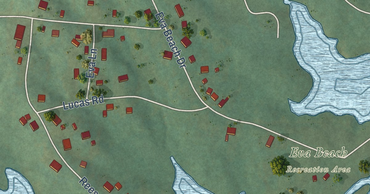
A detailed map of Eva, Tennessee, showing every building in its true location, the roads by name, and shaded topographical relief.
Read More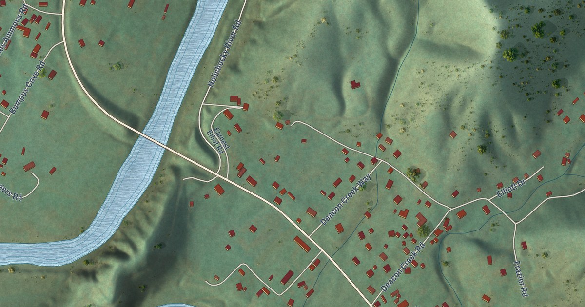
A detailed map of Embreeville, Tennessee, showing every building in its true location, the roads by name, and shaded topographical relief.
Read More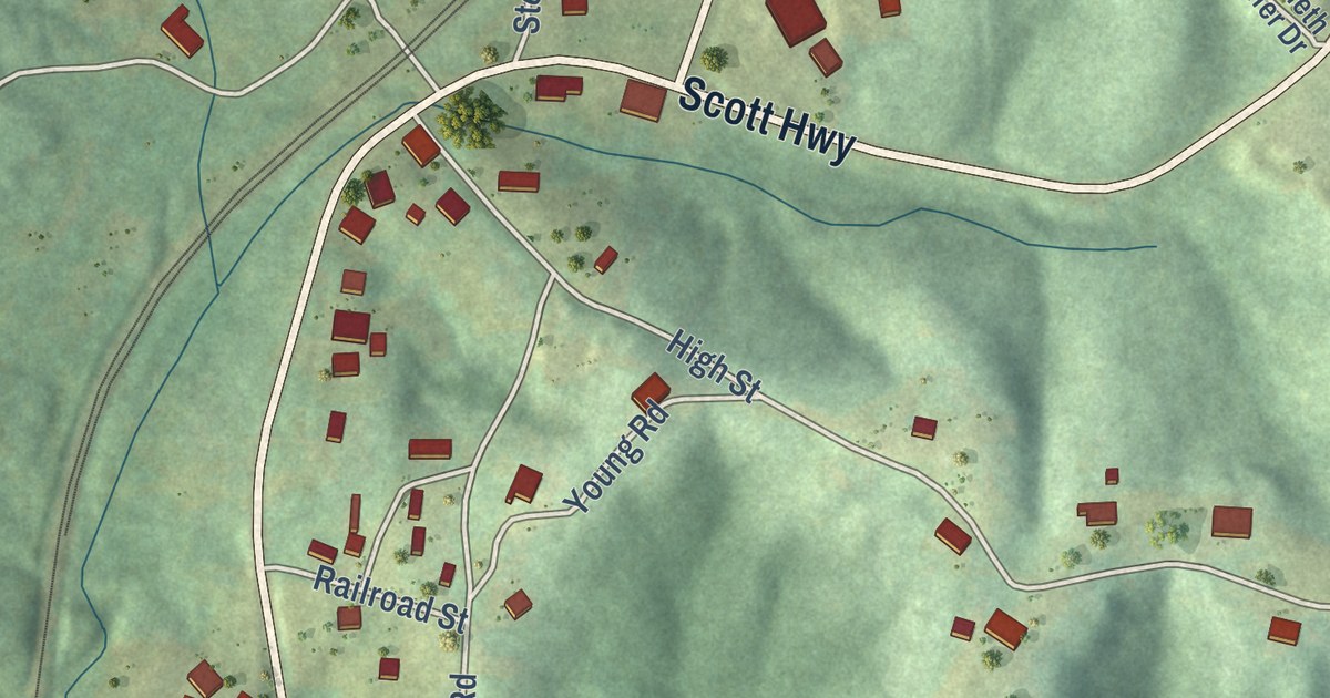
A detailed map of Elgin, Tennessee, showing every building in its true location, the roads by name, and shaded topographical relief.
Read More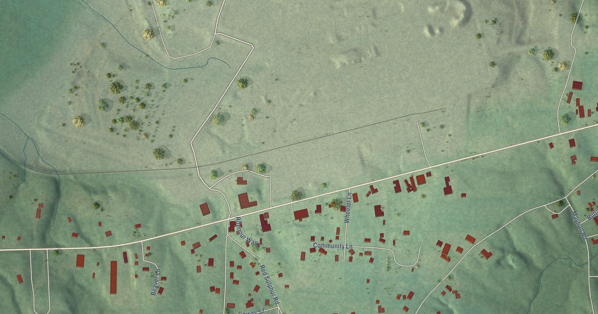
A detailed map of Counce, Tennessee, showing every building in its true location, the roads by name, and shaded topographical relief.
Read More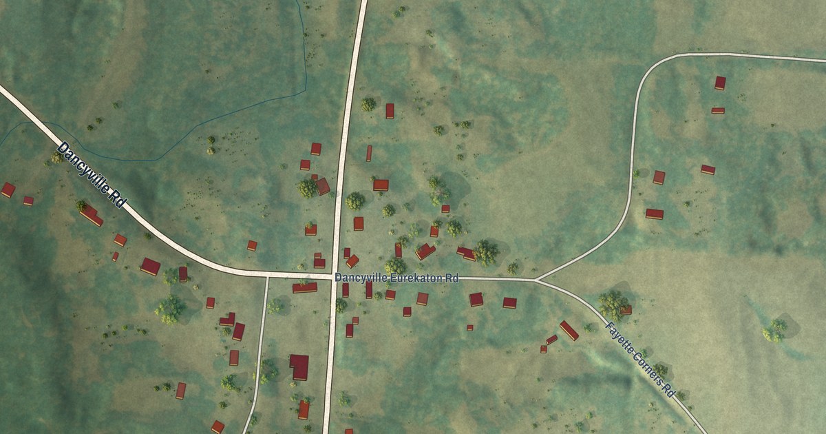
A detailed map of Dancyville, Tennessee, showing every building in its true location, the roads by name, and shaded topographical relief.
Read More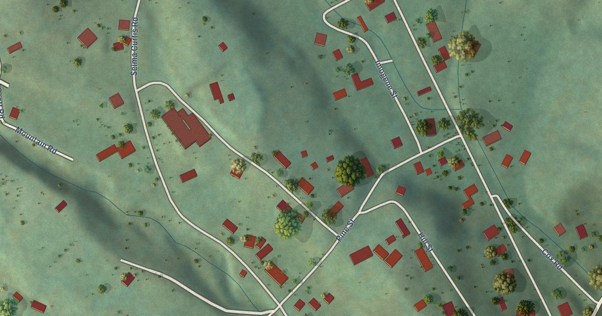
A detailed map of Butler, Tennessee, showing every building in its true location, the roads by name, and shaded topographical relief.
Read More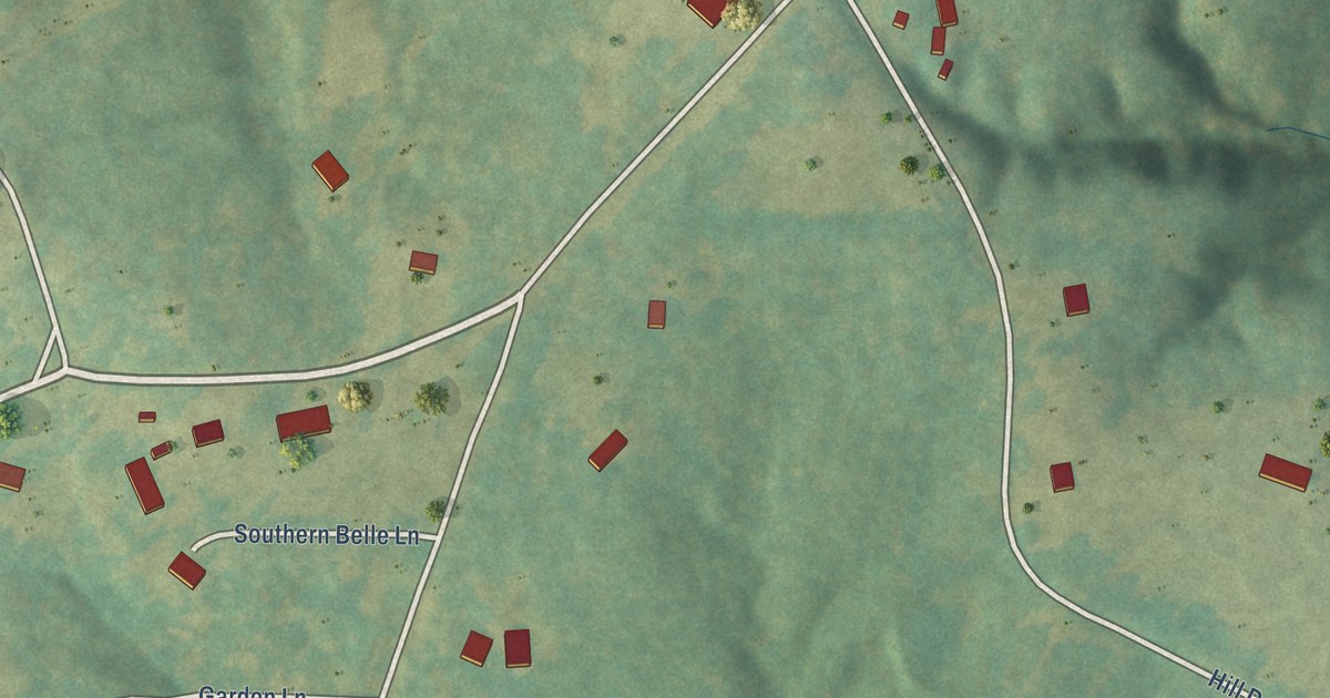
A detailed map of Childers Hill, Tennessee, showing every building in its true location, the roads by name, and shaded topographical relief.
Read More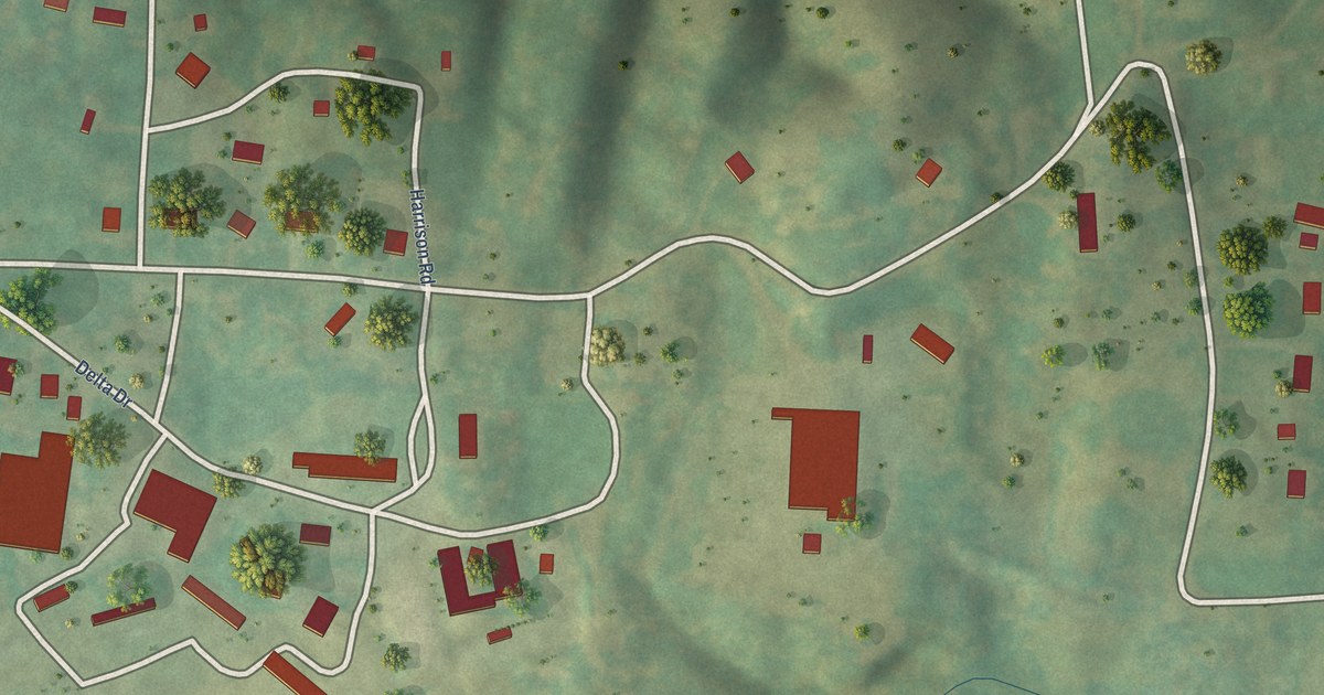
A detailed map of Conasauga, Tennessee, showing every building in its true location, the roads by name, and shaded topographical relief.
Read More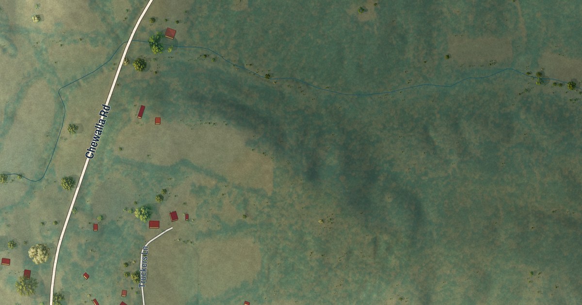
A detailed map of Chewalla, Tennessee, showing every building in its true location, the roads by name, and shaded topographical relief.
Read More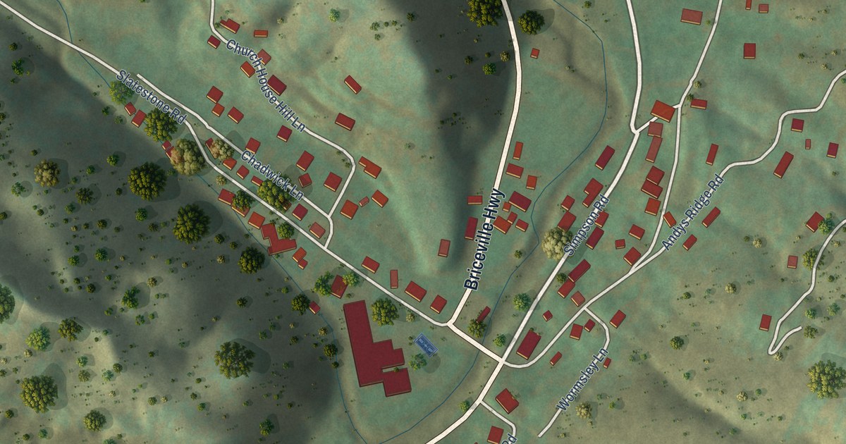
A detailed map of Briceville, Tennessee, showing every building in its true location, the roads by name, and shaded topographical relief.
Read More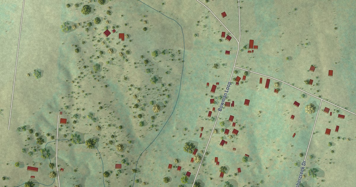
A detailed map of Bowman, Tennessee, showing every building in its true location, the roads by name, and shaded topographical relief.
Read More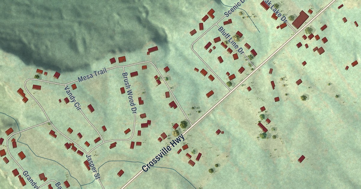
A detailed map of Bon Air, Tennessee, showing every building in its true location, the roads by name, and shaded topographical relief.
Read More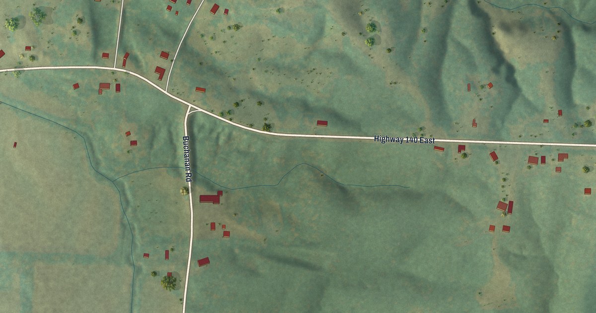
A detailed map of Buchanan, Tennessee, showing every building in its true location, the roads by name, and shaded topographical relief.
Read More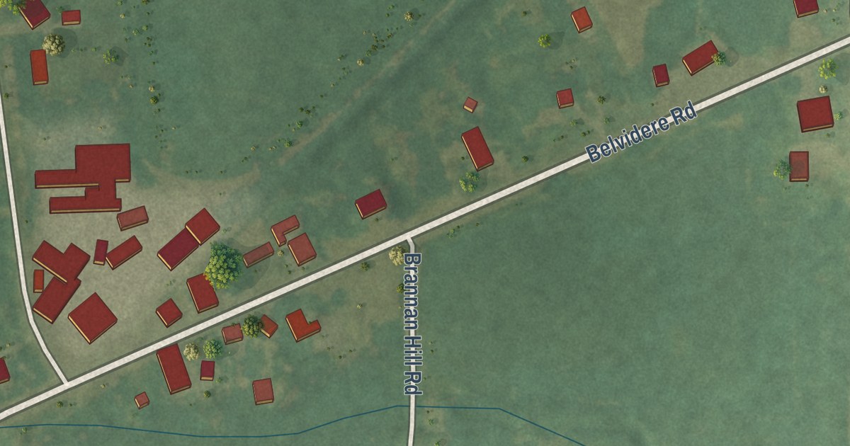
A detailed map of Belvidere, Tennessee, showing every building in its true location, the roads by name, and shaded topographical relief.
Read More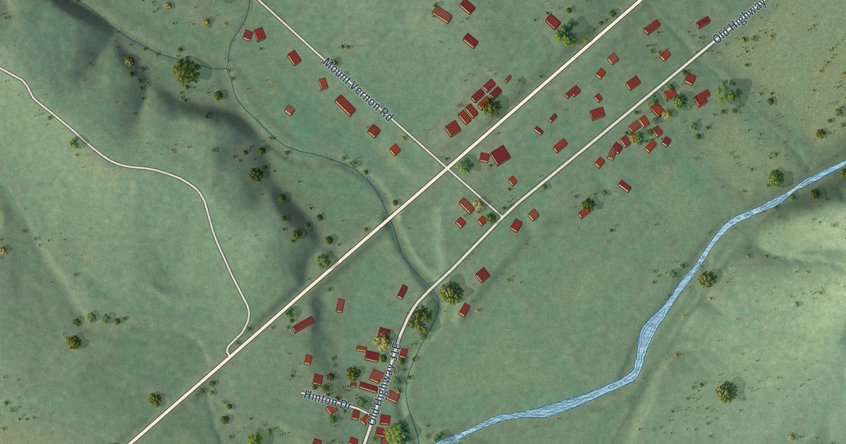
A detailed map of Bethpage, Tennessee, showing every building in its true location, the roads by name, and shaded topographical relief.
Read More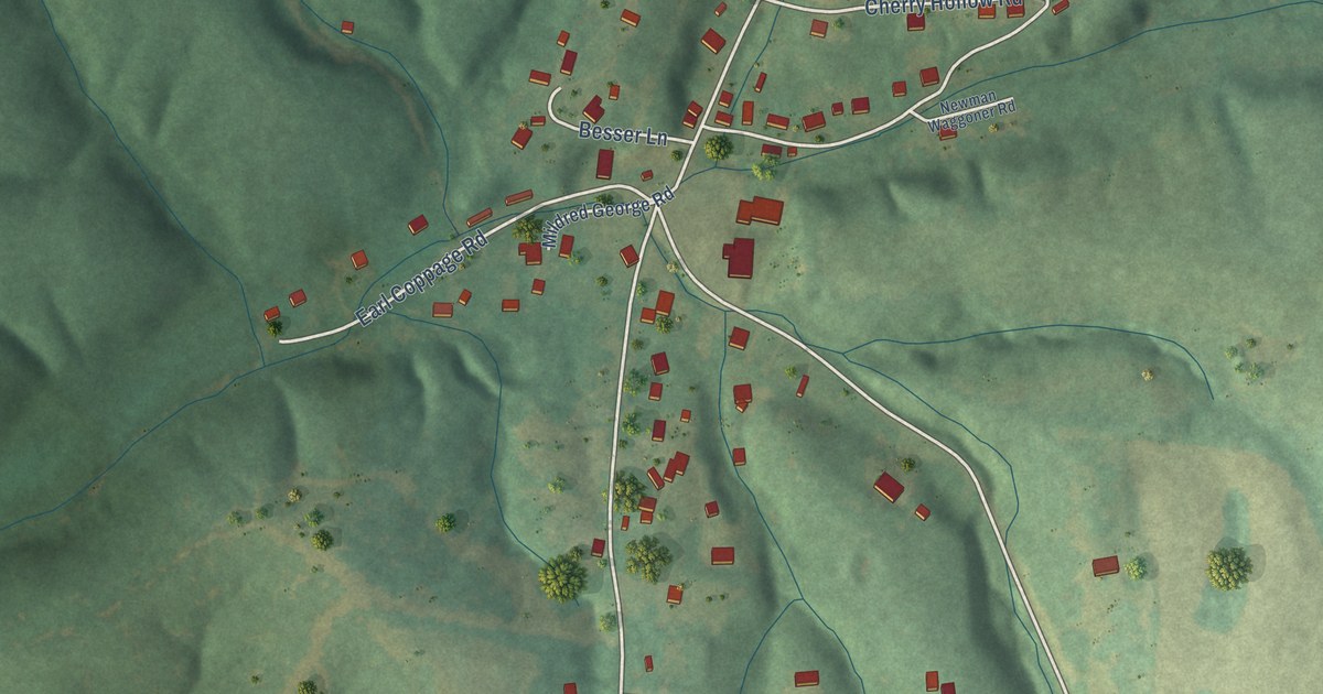
A detailed map of Big Rock, Tennessee, showing every building in its true location, the roads by name, and shaded topographical relief.
Read More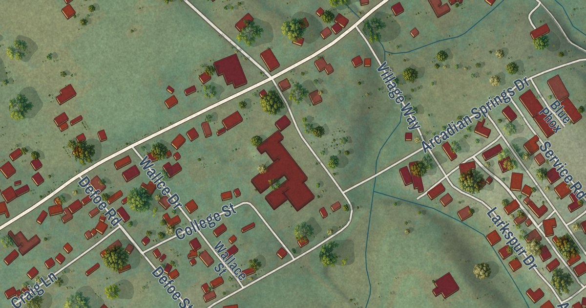
A detailed map of Andersonville, Tennessee, showing every building in its true location, the roads by name, and shaded topographical relief.
Read More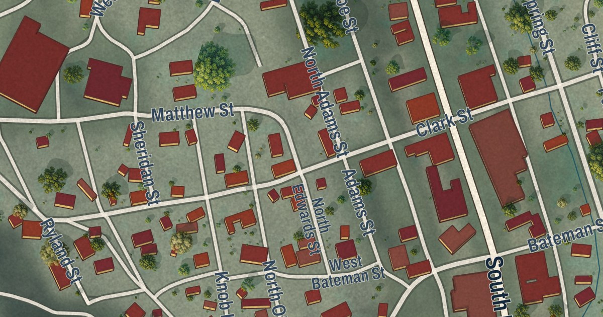
A detailed map of Eureka, Nevada, showing every building in its true location, the roads by name, and shaded topographical relief.
Read More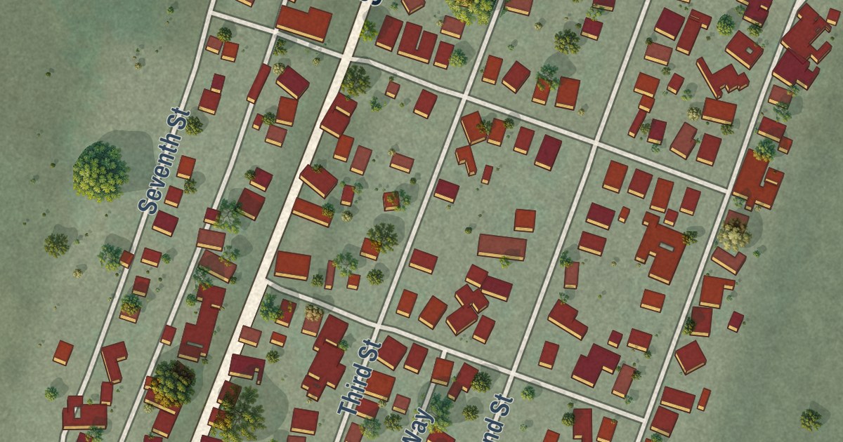
A detailed map of McGill, Nevada, showing every building in its true location, the roads by name, and shaded topographical relief.
Read More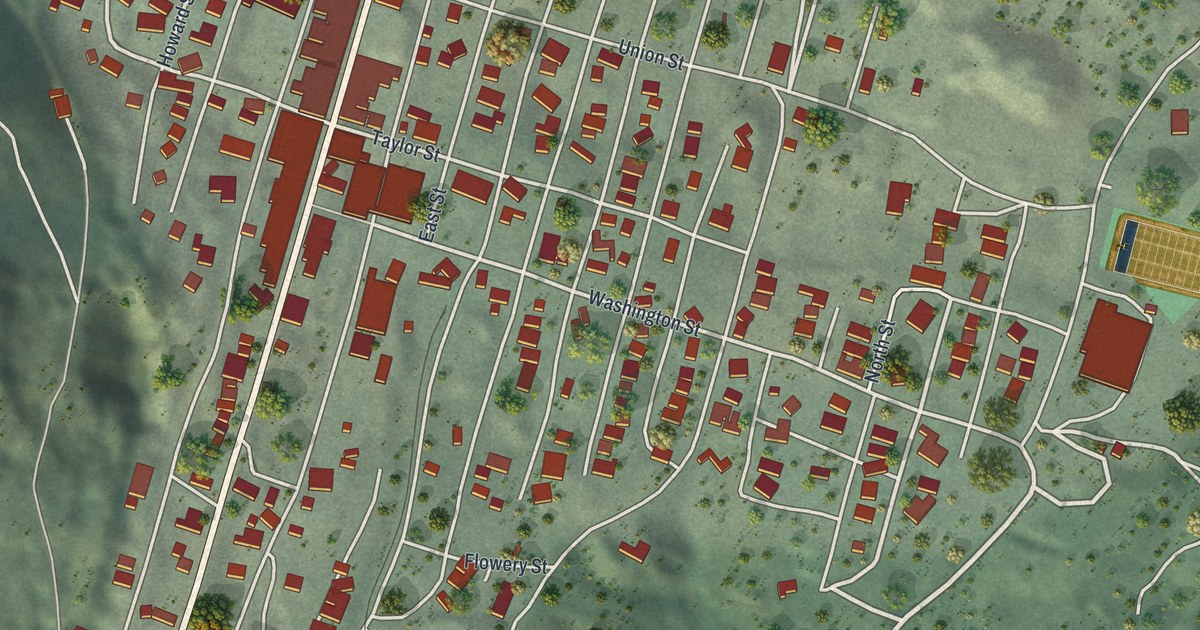
A detailed map of Virginia City, Nevada, showing every building in its true location, the roads by name, and shaded topographical relief.
Read More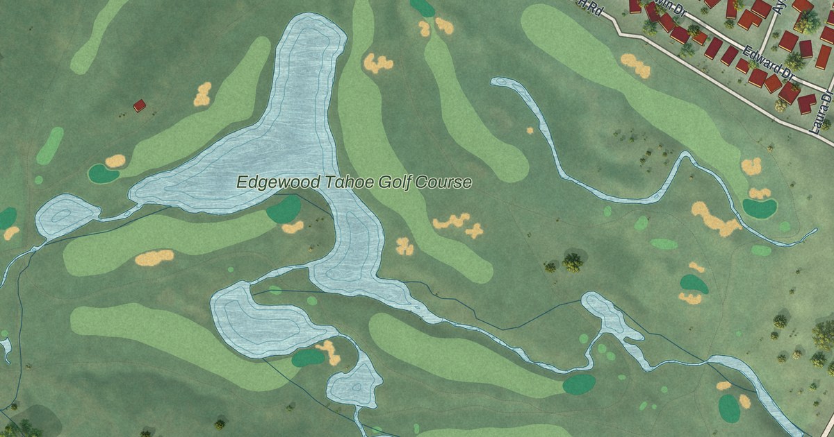
A detailed map of Stateline, Nevada, showing every building in its true location, the roads by name, and shaded topographical relief.
Read More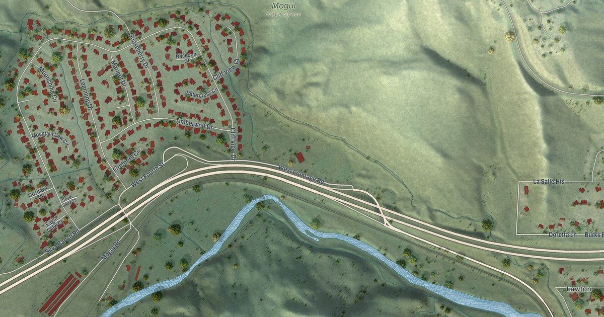
A detailed map of Mogul, Nevada, showing every building in its true location, the roads by name, and shaded topographical relief.
Read More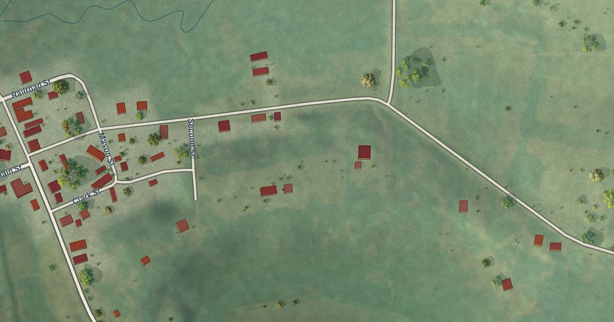
A detailed map of Woodford, Wisconsin, showing every building in its true location, the roads by name, and shaded topographical relief.
Read More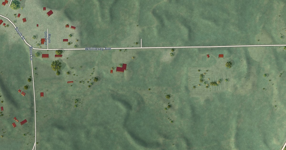
A detailed map of Whittlesey, Wisconsin, showing every building in its true location, the roads by name, and shaded topographical relief.
Read More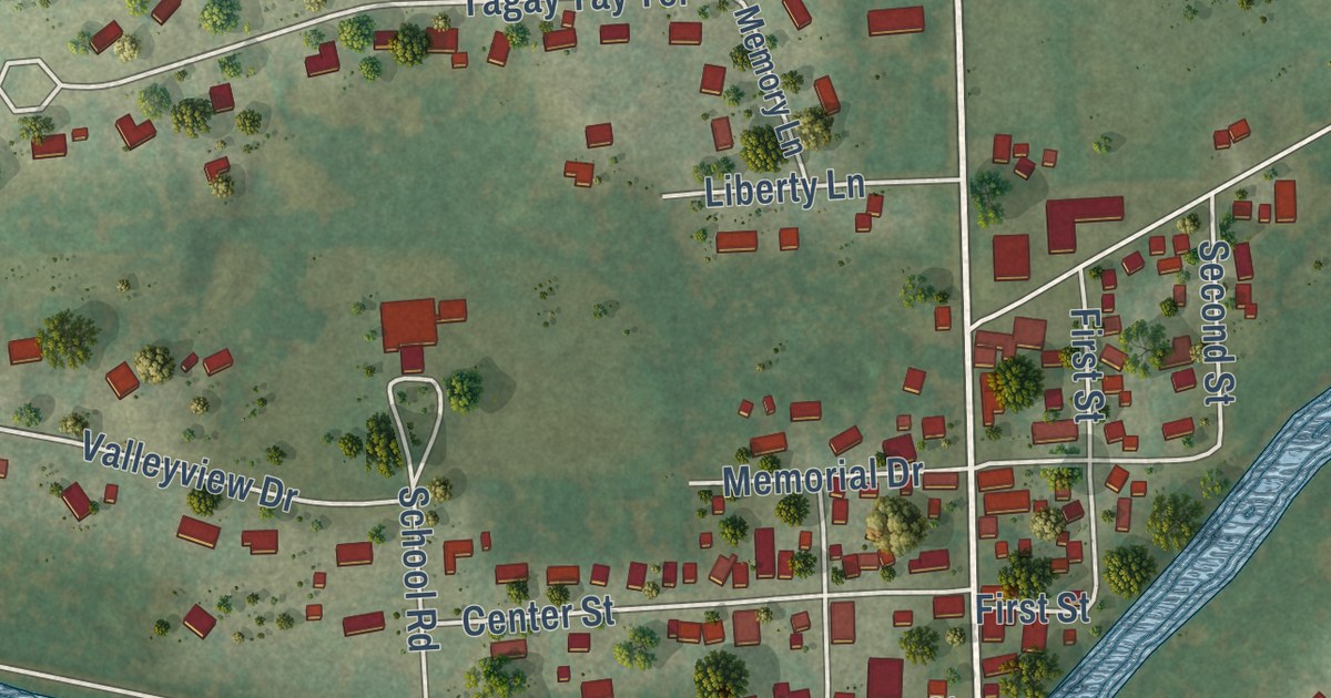
A detailed map of Waubeka, Wisconsin, showing every building in its true location, the roads by name, and shaded topographical relief.
Read More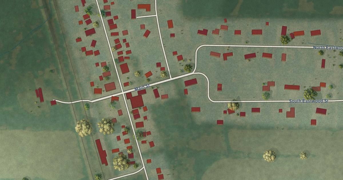
A detailed map of Van Dyne, Wisconsin, showing every building in its true location, the roads by name, and shaded topographical relief.
Read More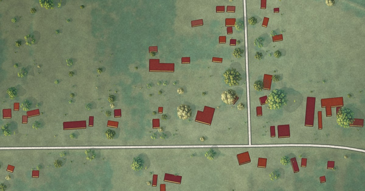
A detailed map of Thornton, Wisconsin, showing every building in its true location, the roads by name, and shaded topographical relief.
Read More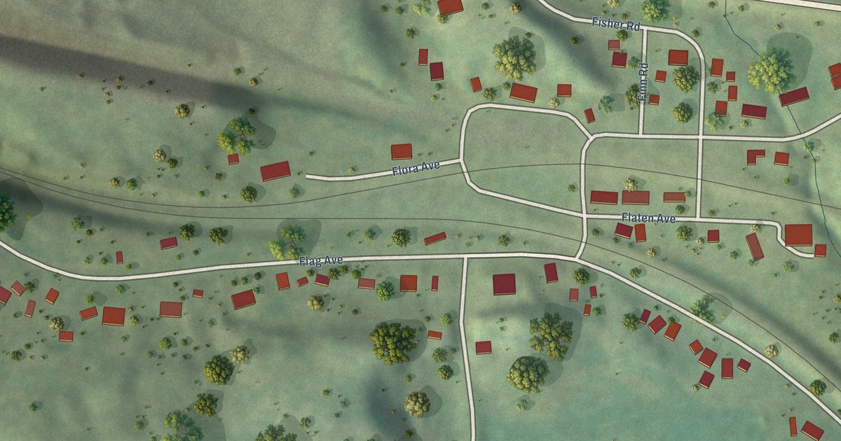
A detailed map of Tunnel City, Wisconsin, showing every building in its true location, the roads by name, and shaded topographical relief.
Read More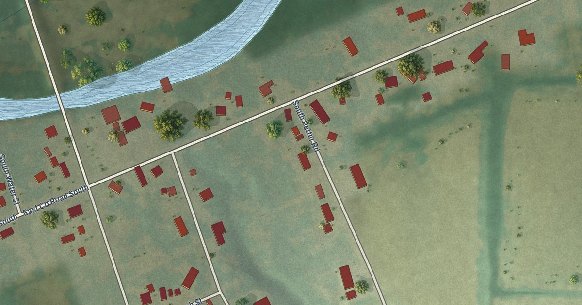
A detailed map of Shopiere, Wisconsin, showing every building in its true location, the roads by name, and shaded topographical relief.
Read More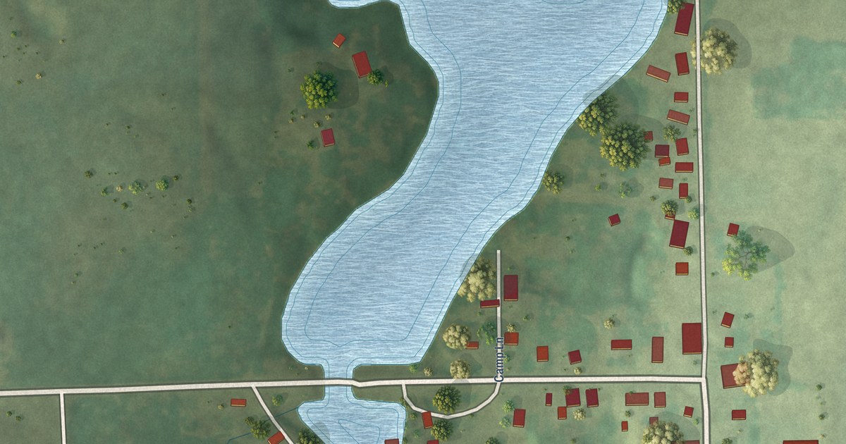
A detailed map of Tilleda, Wisconsin, showing every building in its true location, the roads by name, and shaded topographical relief.
Read More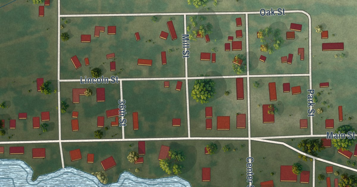
A detailed map of Tustin, Wisconsin, showing every building in its true location, the roads by name, and shaded topographical relief.
Read More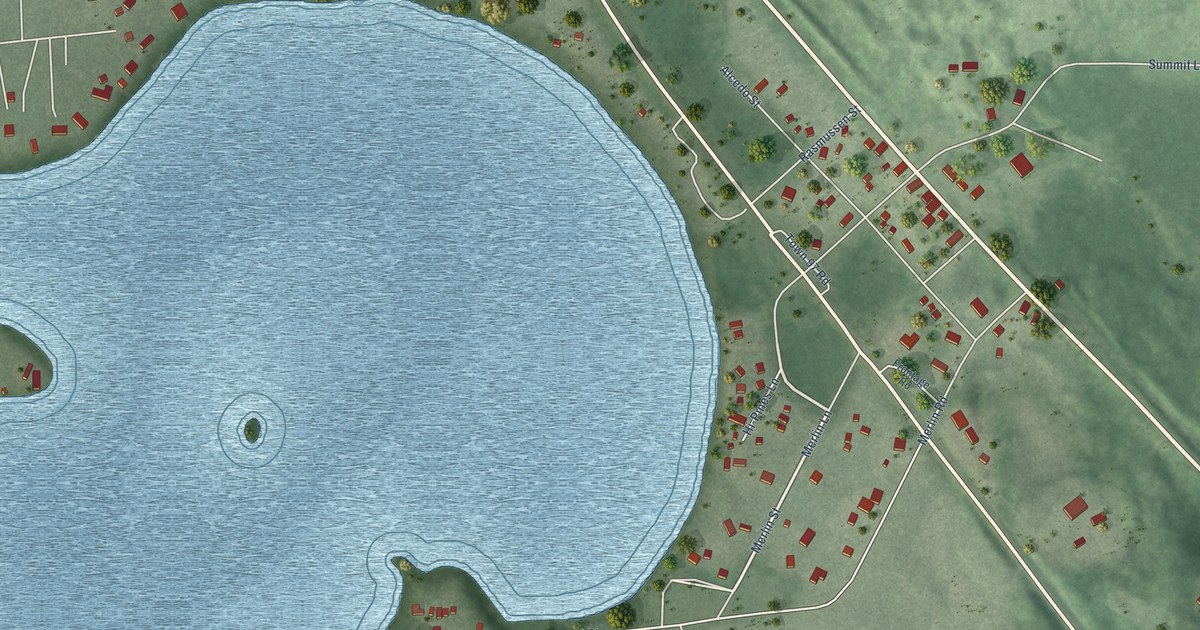
A detailed map of Summit Lake, Wisconsin, showing every building in its true location, the roads by name, and shaded topographical relief.
Read More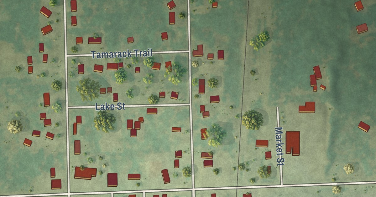
A detailed map of Sobieski, Wisconsin, showing every building in its true location, the roads by name, and shaded topographical relief.
Read More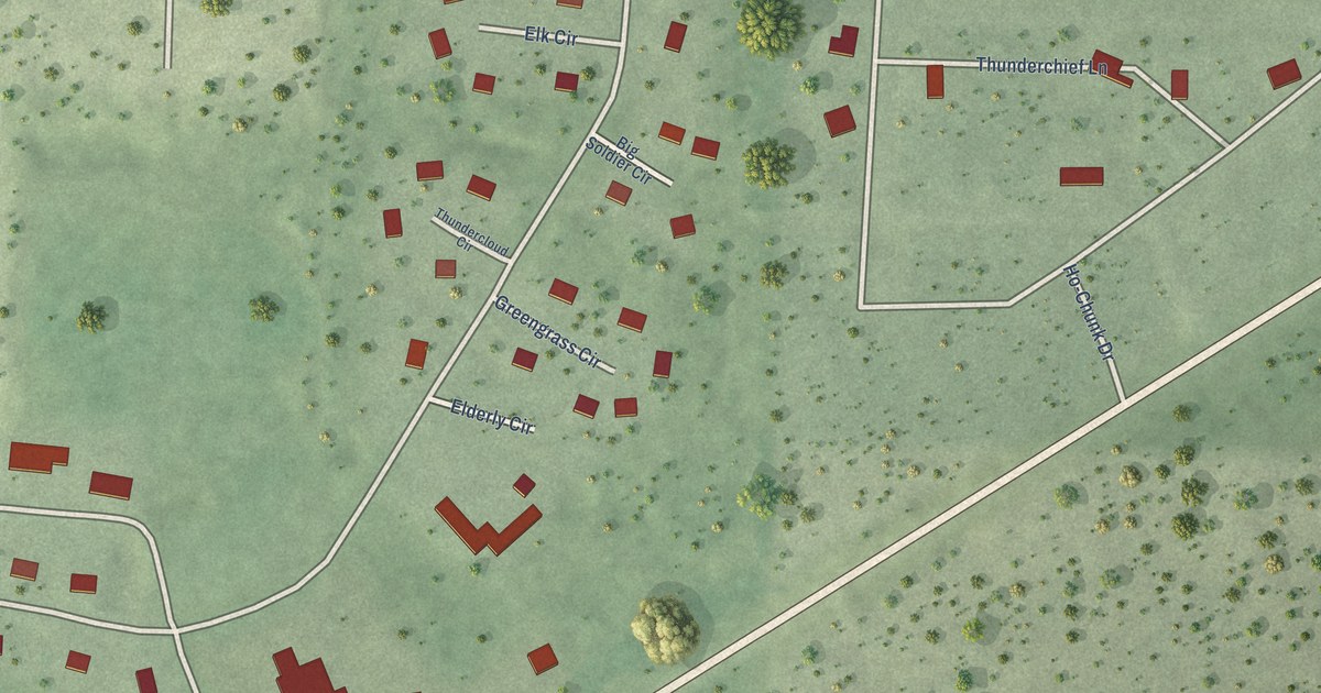
A detailed map of Sand Pillow, Wisconsin, showing every building in its true location, the roads by name, and shaded topographical relief.
Read More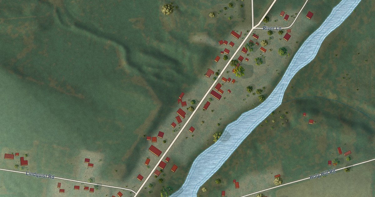
A detailed map of Pulcifer, Wisconsin, showing every building in its true location, the roads by name, and shaded topographical relief.
Read More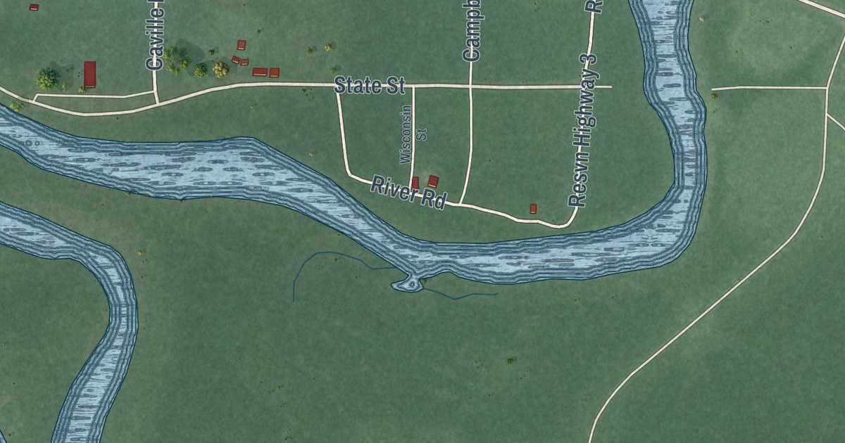
A detailed map of Odanah, Wisconsin, showing every building in its true location, the roads by name, and shaded topographical relief.
Read More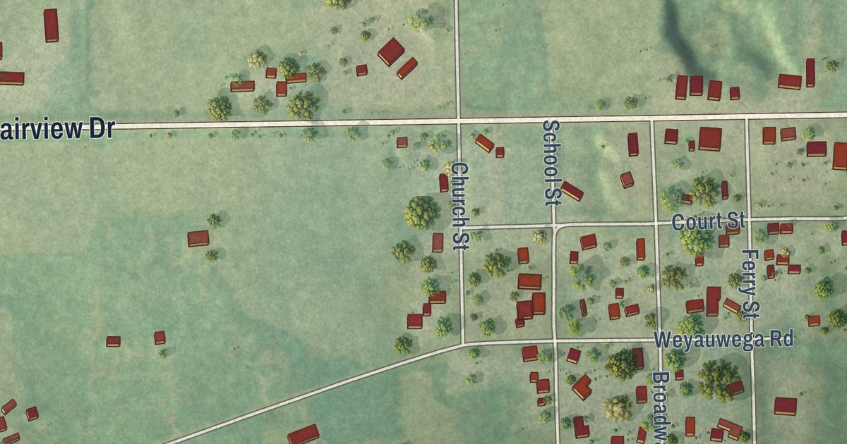
A detailed map of Northport, Wisconsin, showing every building in its true location, the roads by name, and shaded topographical relief.
Read More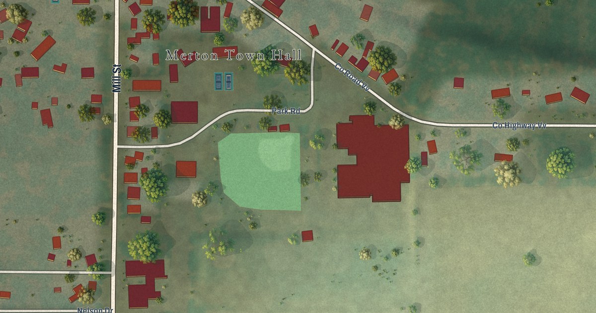
A detailed map of North Lake, Wisconsin, showing every building in its true location, the roads by name, and shaded topographical relief.
Read More















