Detailed Map of Paac Ciinak, Wisconsin
A detailed map of Paac Ciinak, Wisconsin, showing every building in its true location, the roads by name, and shaded topographical relief.
Read More
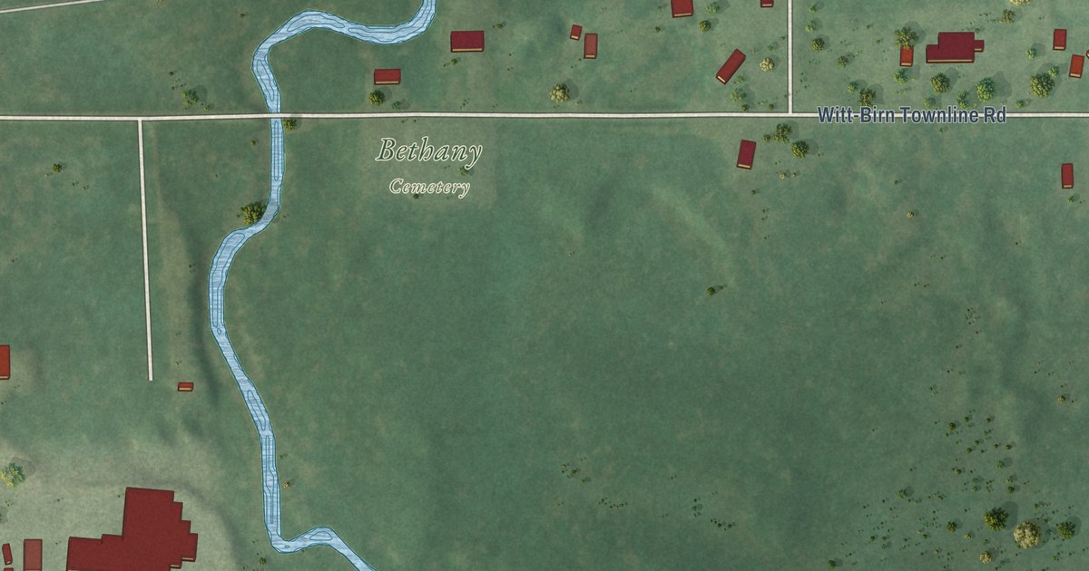
A detailed map of Paac Ciinak, Wisconsin, showing every building in its true location, the roads by name, and shaded topographical relief.
Read More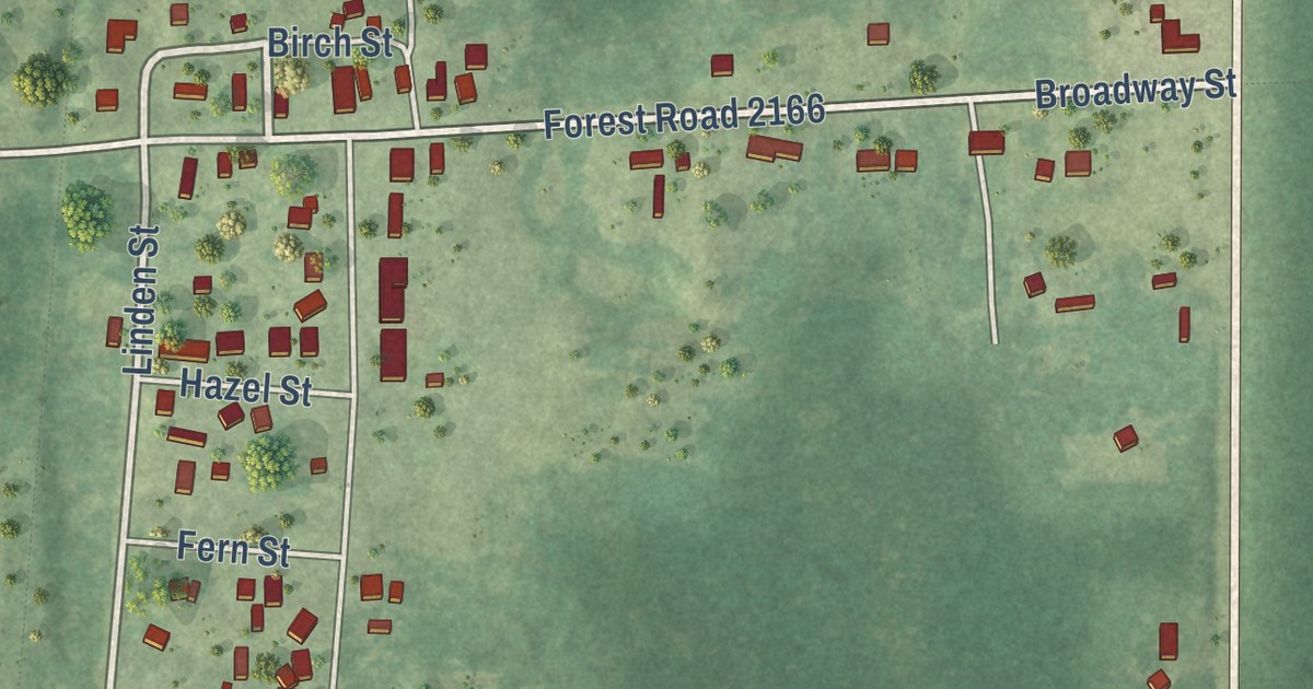
A detailed map of Newald, Wisconsin, showing every building in its true location, the roads by name, and shaded topographical relief.
Read More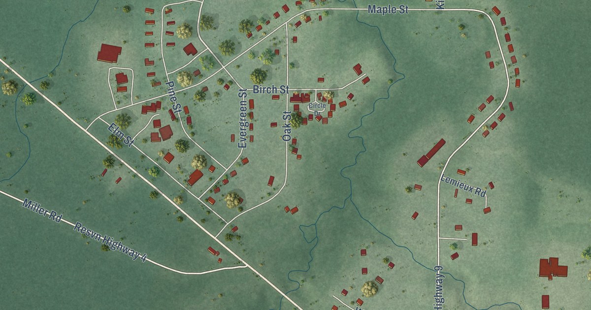
A detailed map of New Odanah, Wisconsin, showing every building in its true location, the roads by name, and shaded topographical relief.
Read More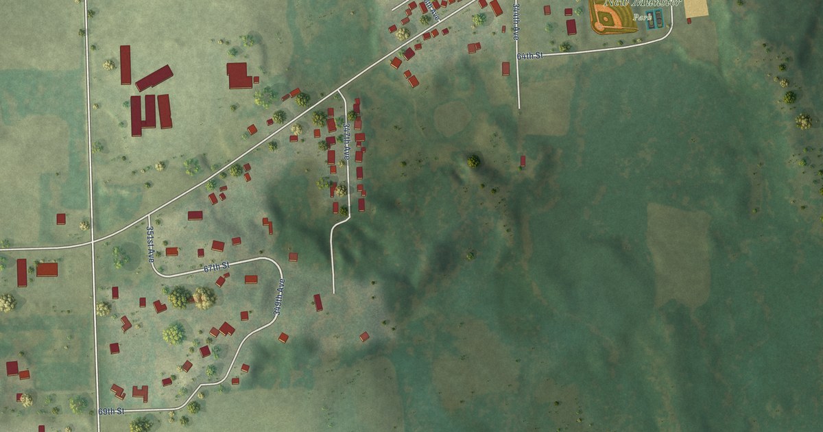
A detailed map of New Munster, Wisconsin, showing every building in its true location, the roads by name, and shaded topographical relief.
Read More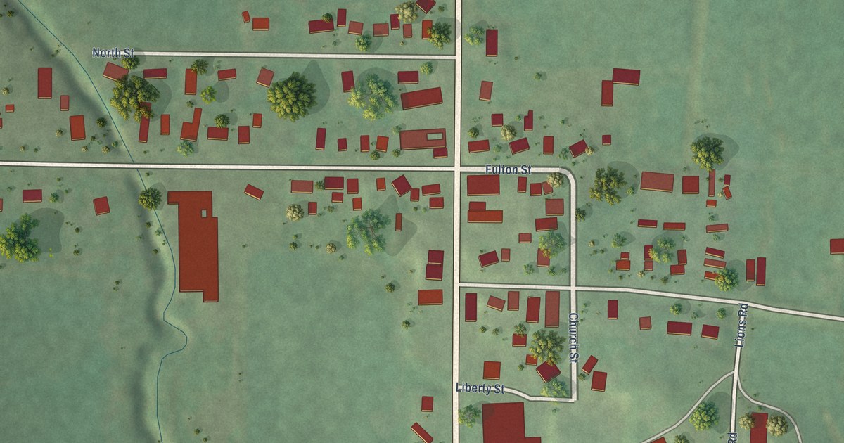
A detailed map of Mindoro, Wisconsin, showing every building in its true location, the roads by name, and shaded topographical relief.
Read More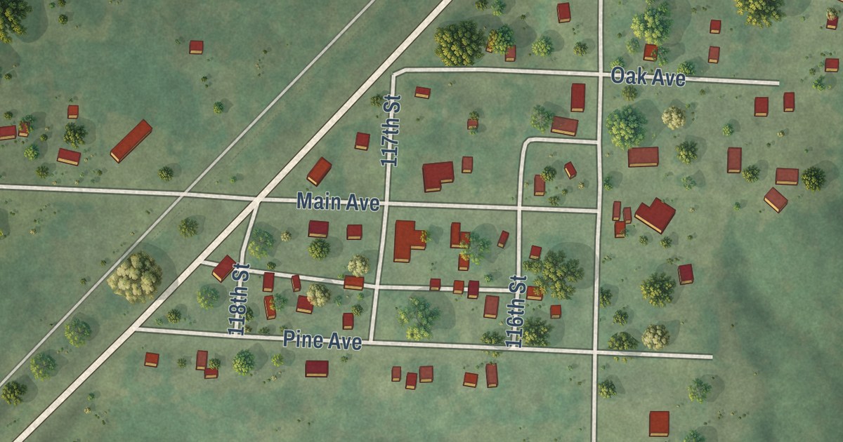
A detailed map of Lewis, Wisconsin, showing every building in its true location, the roads by name, and shaded topographical relief.
Read More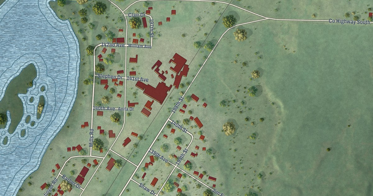
A detailed map of Jim Falls, Wisconsin, showing every building in its true location, the roads by name, and shaded topographical relief.
Read More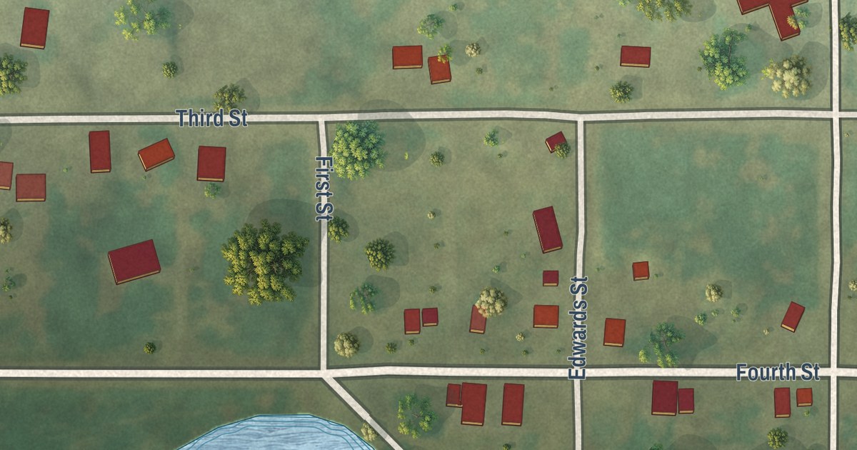
A detailed map of Leopolis, Wisconsin, showing every building in its true location, the roads by name, and shaded topographical relief.
Read More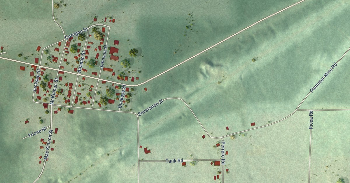
A detailed map of Iron Belt, Wisconsin, showing every building in its true location, the roads by name, and shaded topographical relief.
Read More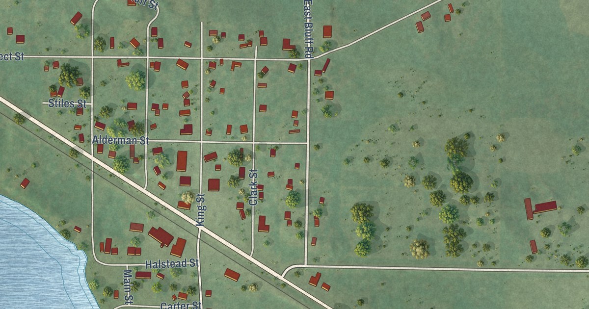
A detailed map of Humbird, Wisconsin, showing every building in its true location, the roads by name, and shaded topographical relief.
Read More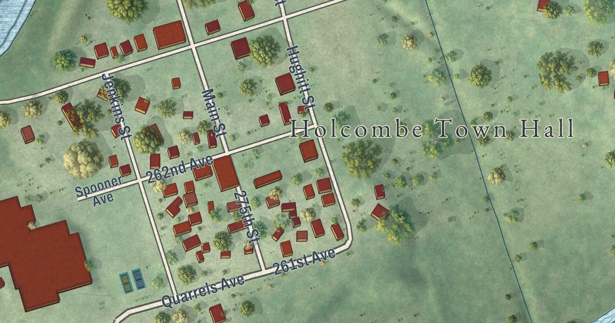
A detailed map of Holcombe, Wisconsin, showing every building in its true location, the roads by name, and shaded topographical relief.
Read More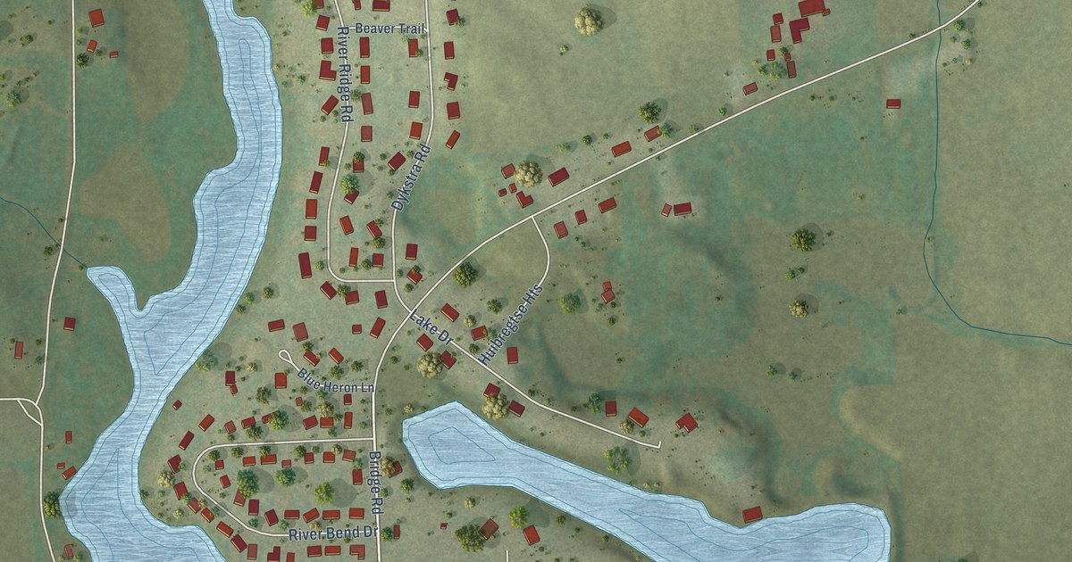
A detailed map of Hingham, Wisconsin, showing every building in its true location, the roads by name, and shaded topographical relief.
Read More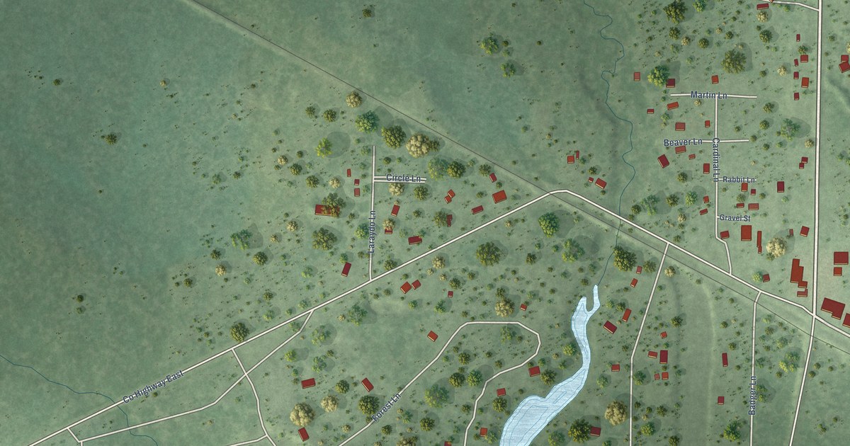
A detailed map of Hatfield, Wisconsin, showing every building in its true location, the roads by name, and shaded topographical relief.
Read More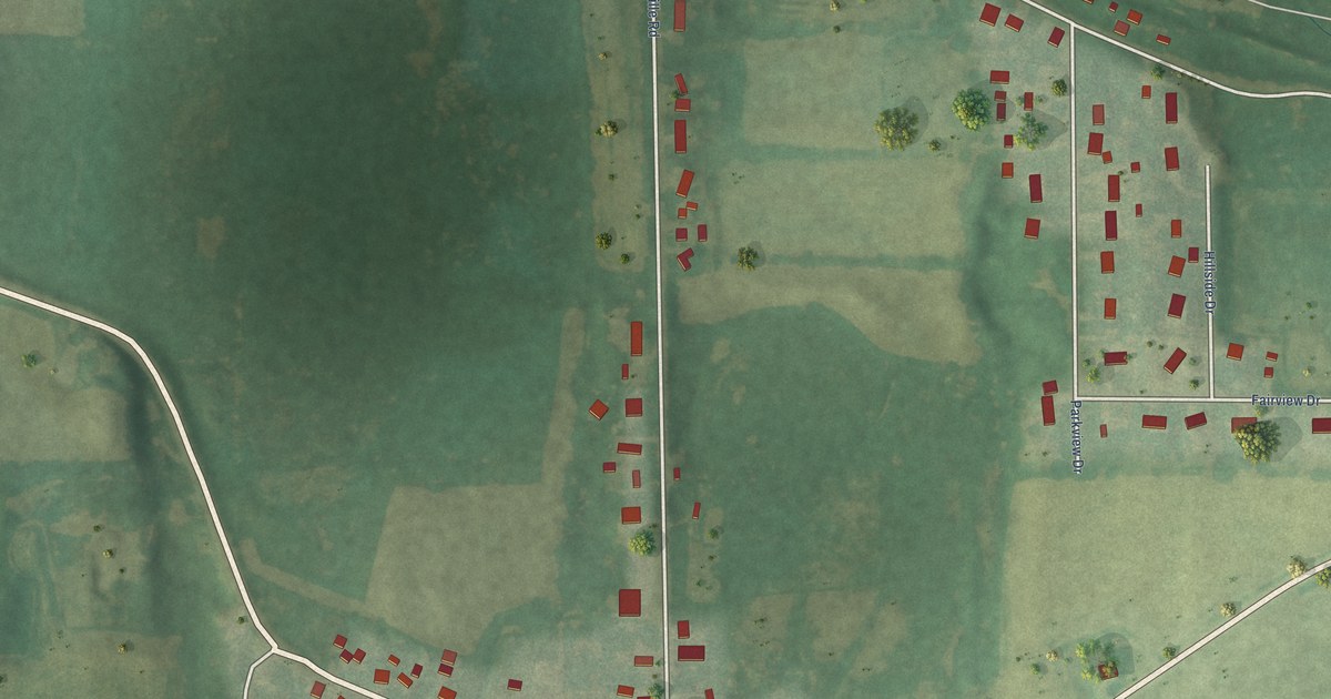
A detailed map of Helenville, Wisconsin, showing every building in its true location, the roads by name, and shaded topographical relief.
Read More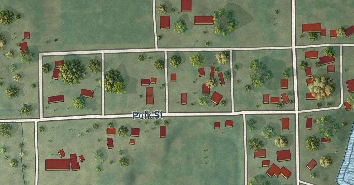
A detailed map of Harrisville, Wisconsin, showing every building in its true location, the roads by name, and shaded topographical relief.
Read More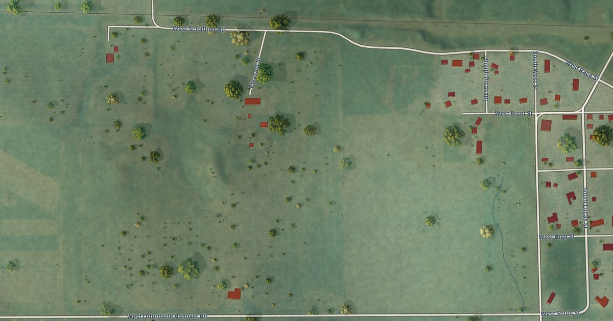
A detailed map of Hanover, Wisconsin, showing every building in its true location, the roads by name, and shaded topographical relief.
Read More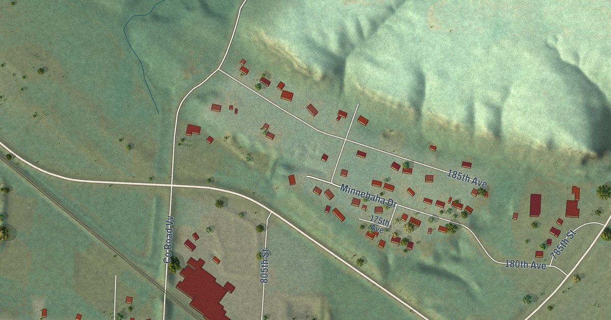
A detailed map of Hager City, Wisconsin, showing every building in its true location, the roads by name, and shaded topographical relief.
Read More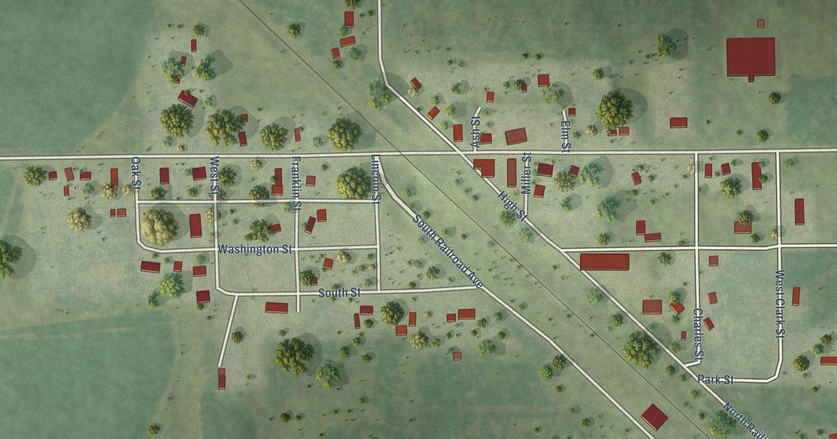
A detailed map of Grand Marsh, Wisconsin, showing every building in its true location, the roads by name, and shaded topographical relief.
Read More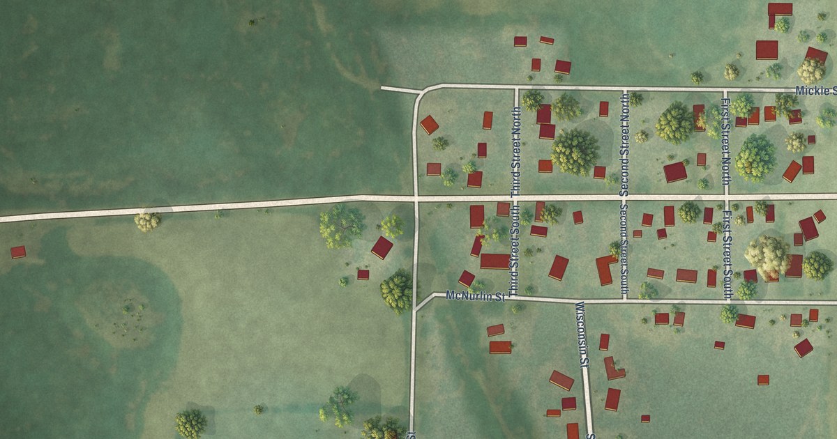
A detailed map of Gotham, Wisconsin, showing every building in its true location, the roads by name, and shaded topographical relief.
Read More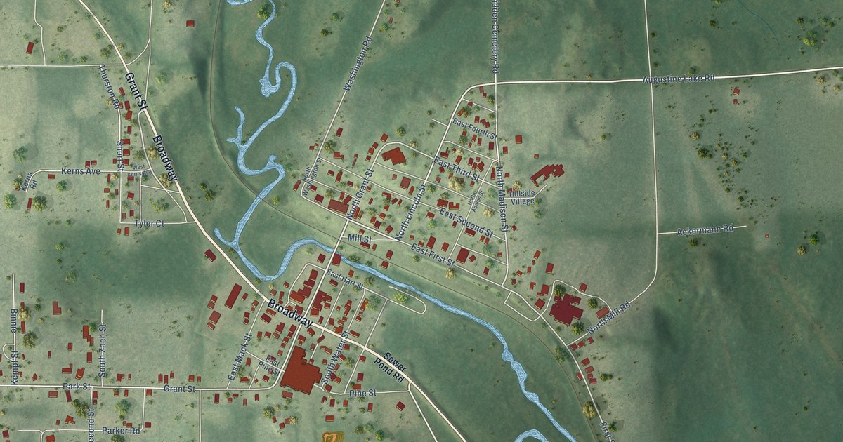
A detailed map of Glidden, Wisconsin, showing every building in its true location, the roads by name, and shaded topographical relief.
Read More
A detailed map of Franks Field, Wisconsin, showing every building in its true location, the roads by name, and shaded topographical relief.
Read More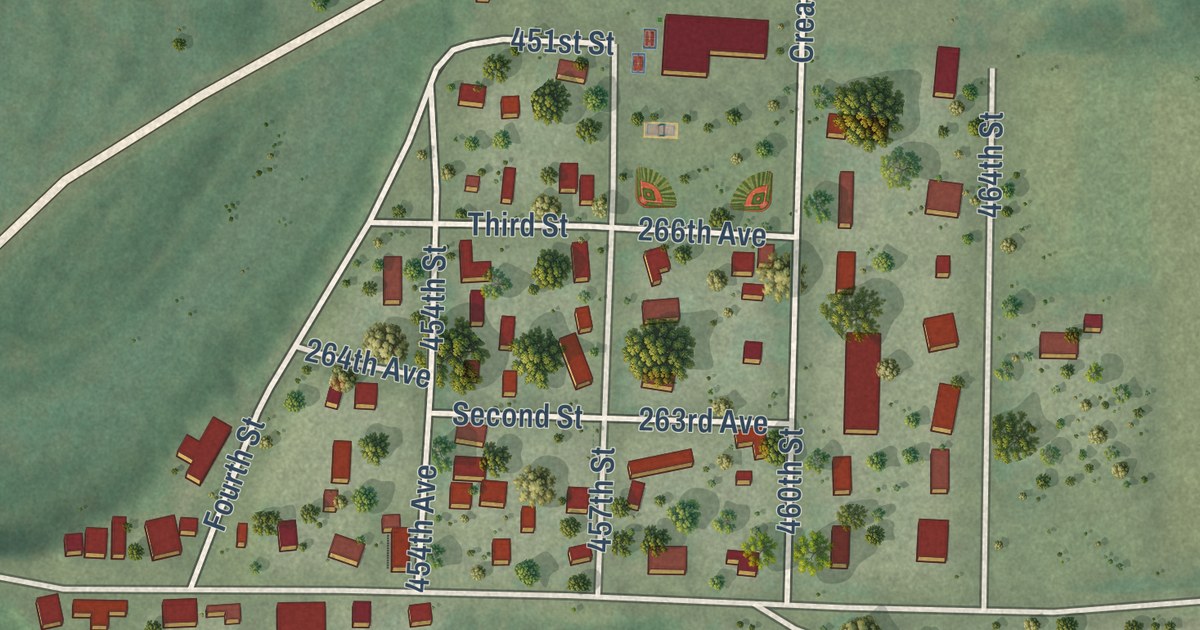
A detailed map of Downsville, Wisconsin, showing every building in its true location, the roads by name, and shaded topographical relief.
Read More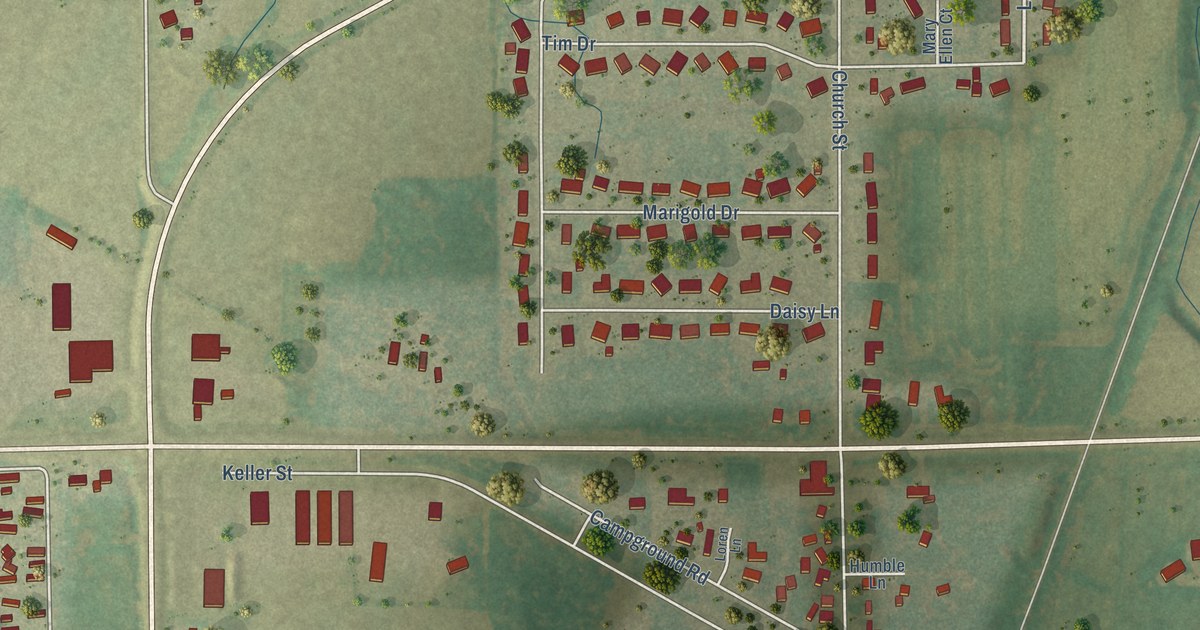
A detailed map of Forest Junction, Wisconsin, showing every building in its true location, the roads by name, and shaded topographical relief.
Read More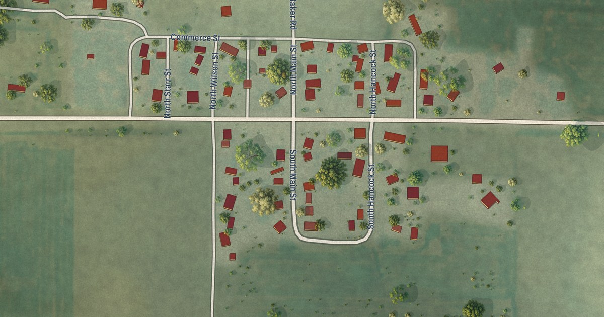
A detailed map of Edmund, Wisconsin, showing every building in its true location, the roads by name, and shaded topographical relief.
Read More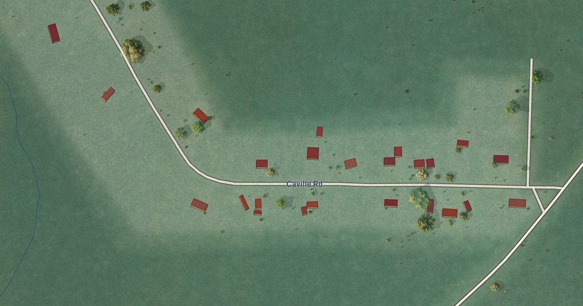
A detailed map of Diaperville, Wisconsin, showing every building in its true location, the roads by name, and shaded topographical relief.
Read More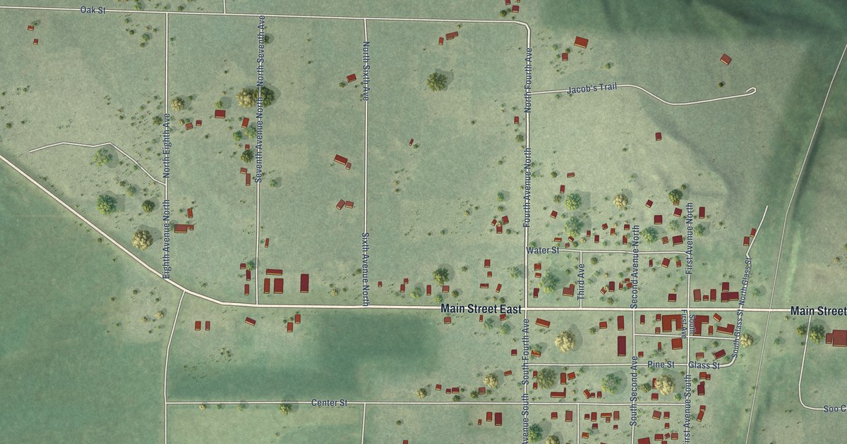
A detailed map of Danbury, Wisconsin, showing every building in its true location, the roads by name, and shaded topographical relief.
Read More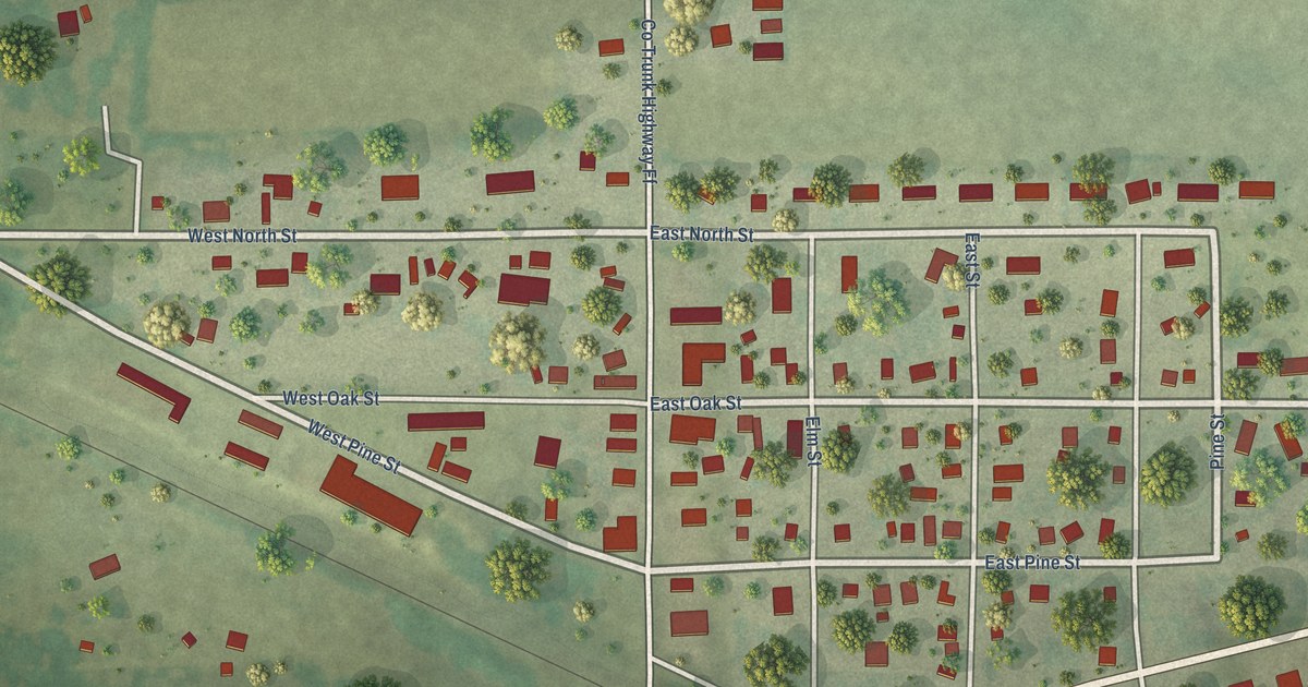
A detailed map of Dalton, Wisconsin, showing every building in its true location, the roads by name, and shaded topographical relief.
Read More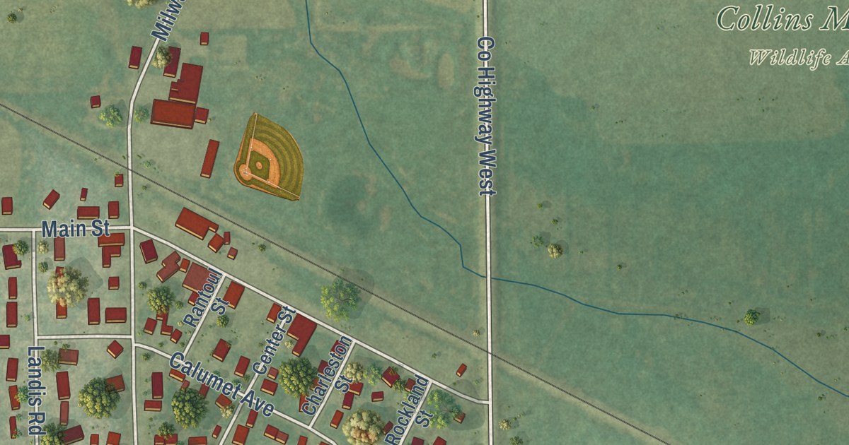
A detailed map of Collins, Wisconsin, showing every building in its true location, the roads by name, and shaded topographical relief.
Read More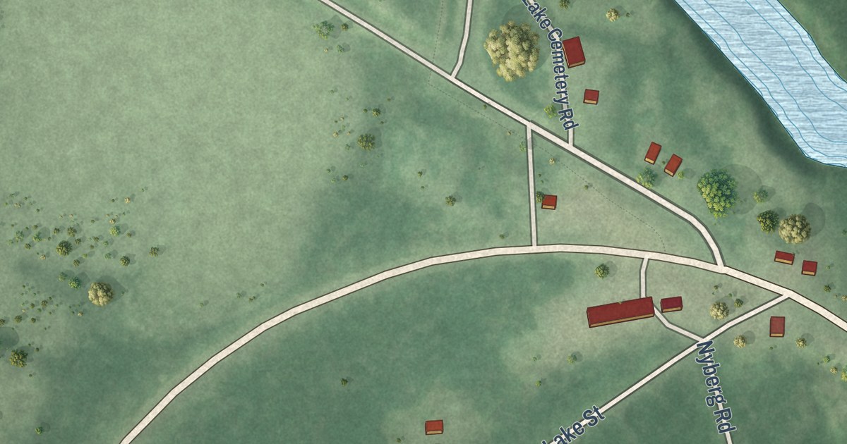
A detailed map of Clam Lake, Wisconsin, showing every building in its true location, the roads by name, and shaded topographical relief.
Read More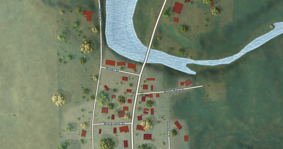
A detailed map of Clarks Mills, Wisconsin, showing every building in its true location, the roads by name, and shaded topographical relief.
Read More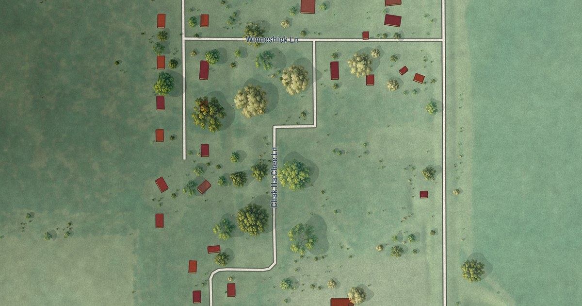
A detailed map of Ceex Haci, Wisconsin, showing every building in its true location, the roads by name, and shaded topographical relief.
Read More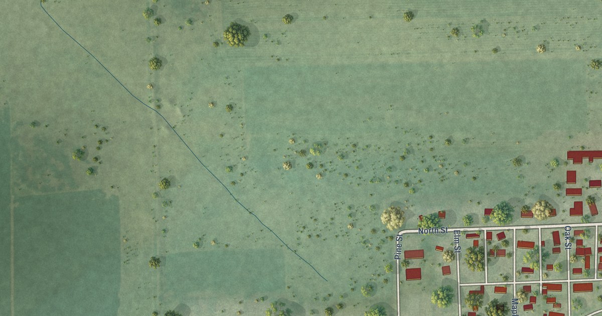
A detailed map of Chili, Wisconsin, showing every building in its true location, the roads by name, and shaded topographical relief.
Read More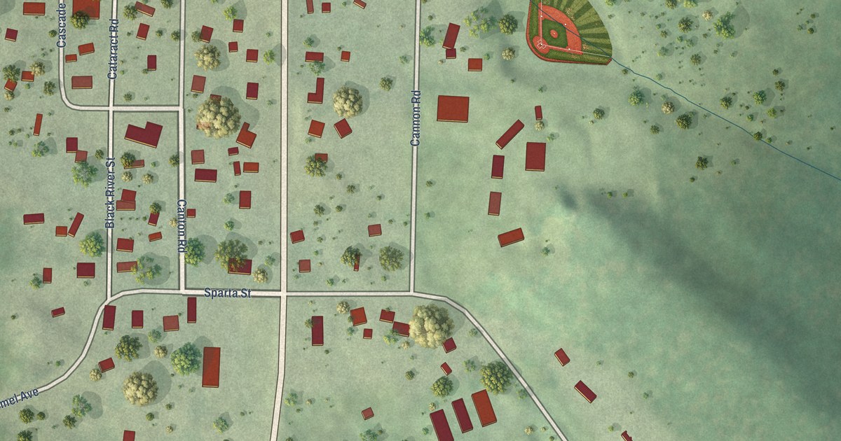
A detailed map of Cataract, Wisconsin, showing every building in its true location, the roads by name, and shaded topographical relief.
Read More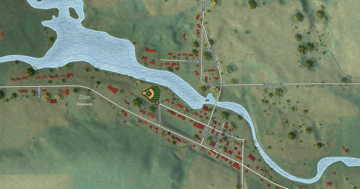
A detailed map of Caroline, Wisconsin, showing every building in its true location, the roads by name, and shaded topographical relief.
Read More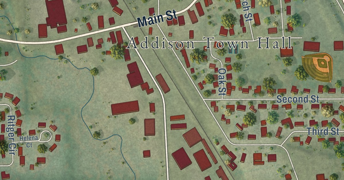
A detailed map of Allenton, Wisconsin, showing every building in its true location, the roads by name, and shaded topographical relief.
Read More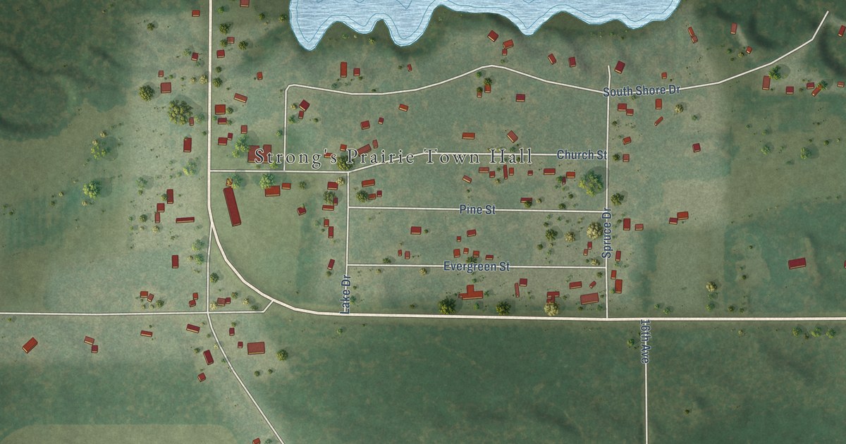
A detailed map of Arkdale, Wisconsin, showing every building in its true location, the roads by name, and shaded topographical relief.
Read More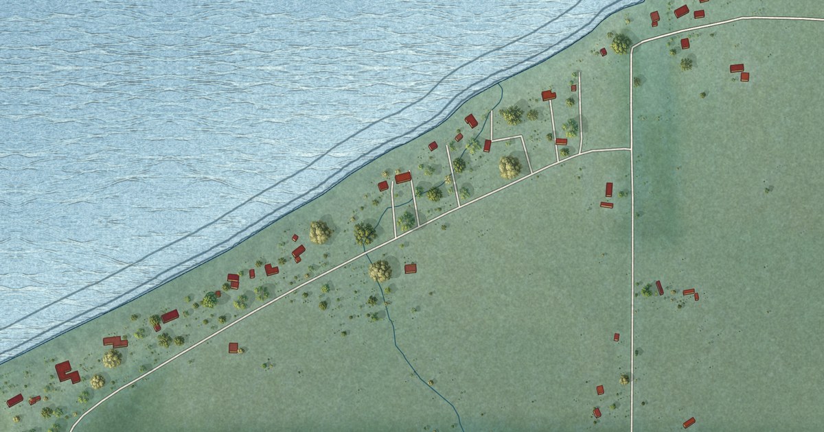
A detailed map of Bayfront, Wisconsin, showing every building in its true location, the roads by name, and shaded topographical relief.
Read More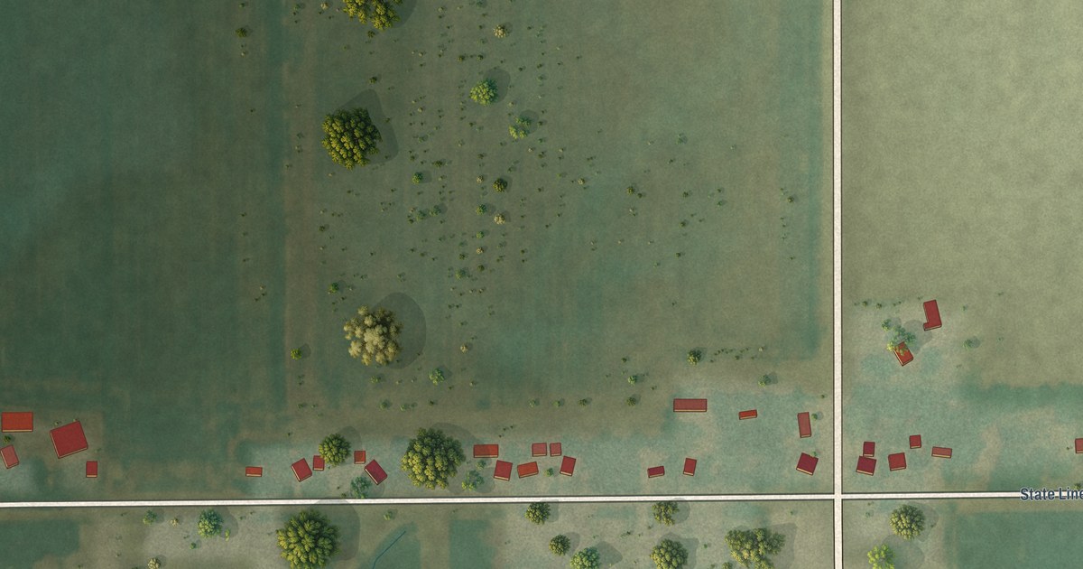
A detailed map of Big Foot Prairie, Wisconsin, showing every building in its true location, the roads by name, and shaded topographical relief.
Read More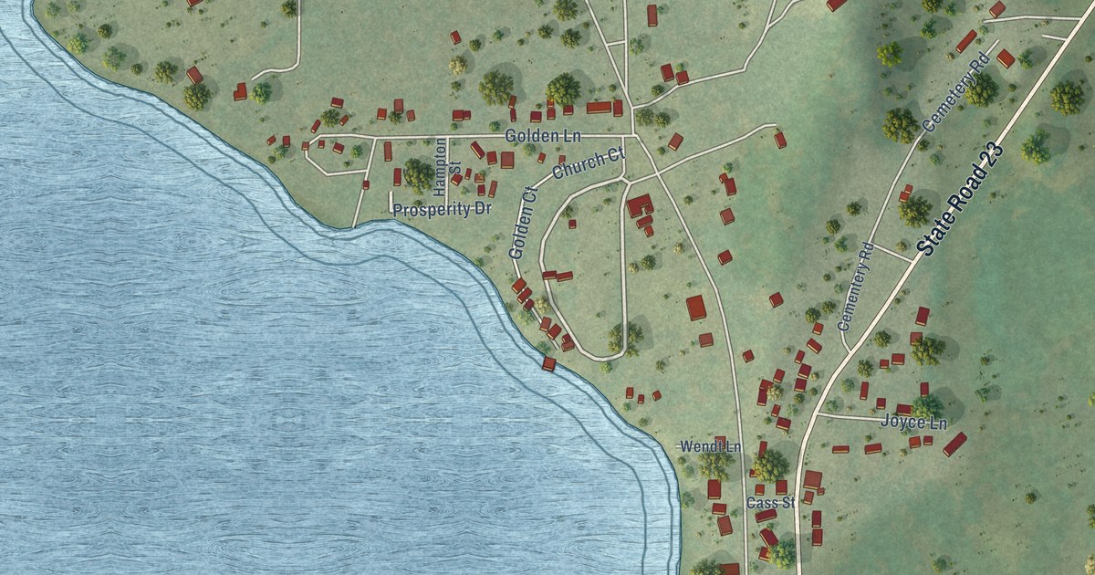
A detailed map of Briggsville, Wisconsin, showing every building in its true location, the roads by name, and shaded topographical relief.
Read More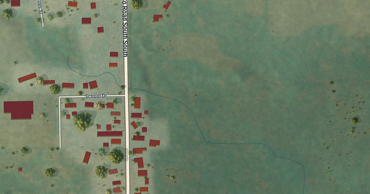
A detailed map of Batavia, Wisconsin, showing every building in its true location, the roads by name, and shaded topographical relief.
Read More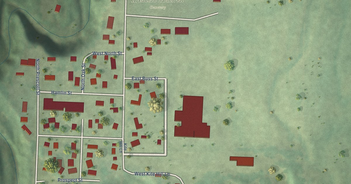
A detailed map of Arkansaw, Wisconsin, showing every building in its true location, the roads by name, and shaded topographical relief.
Read More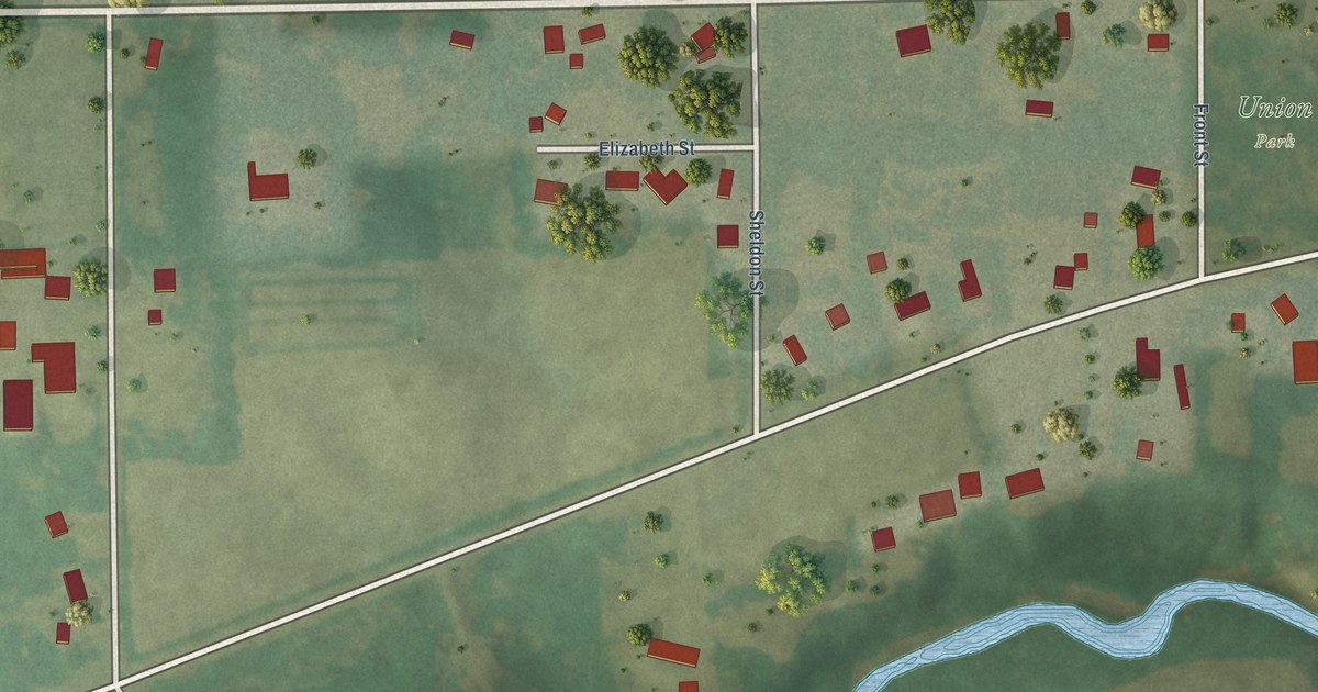
A detailed map of Allens Grove, Wisconsin, showing every building in its true location, the roads by name, and shaded topographical relief.
Read More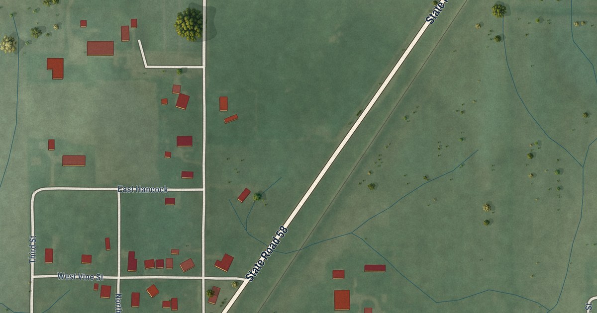
A detailed map of Westphalia, Indiana, showing every building in its true location, the roads by name, and shaded topographical relief.
Read More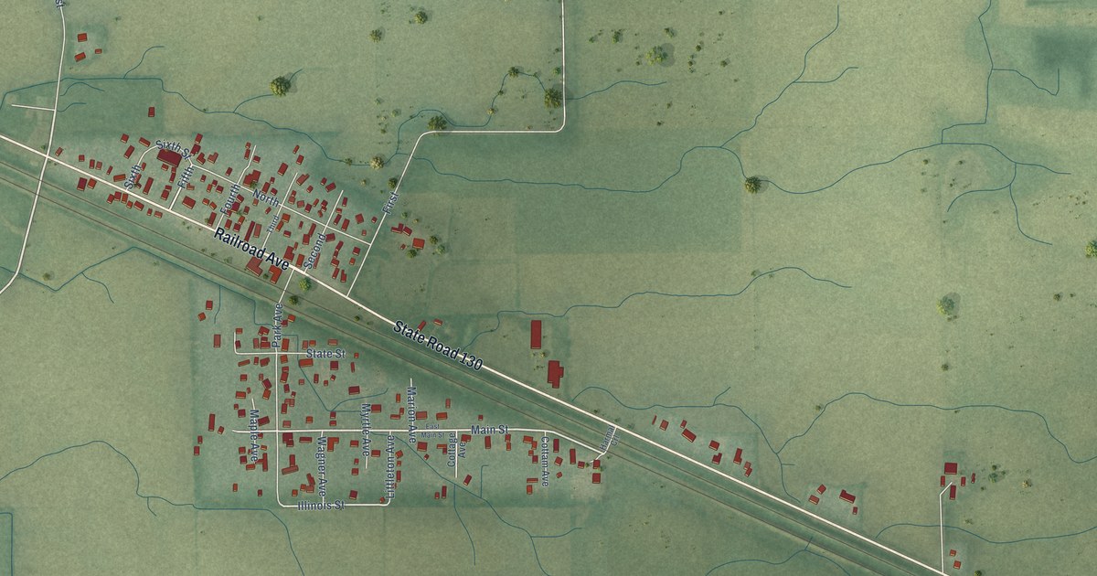
A detailed map of Wheeler, Indiana, showing every building in its true location, the roads by name, and shaded topographical relief.
Read More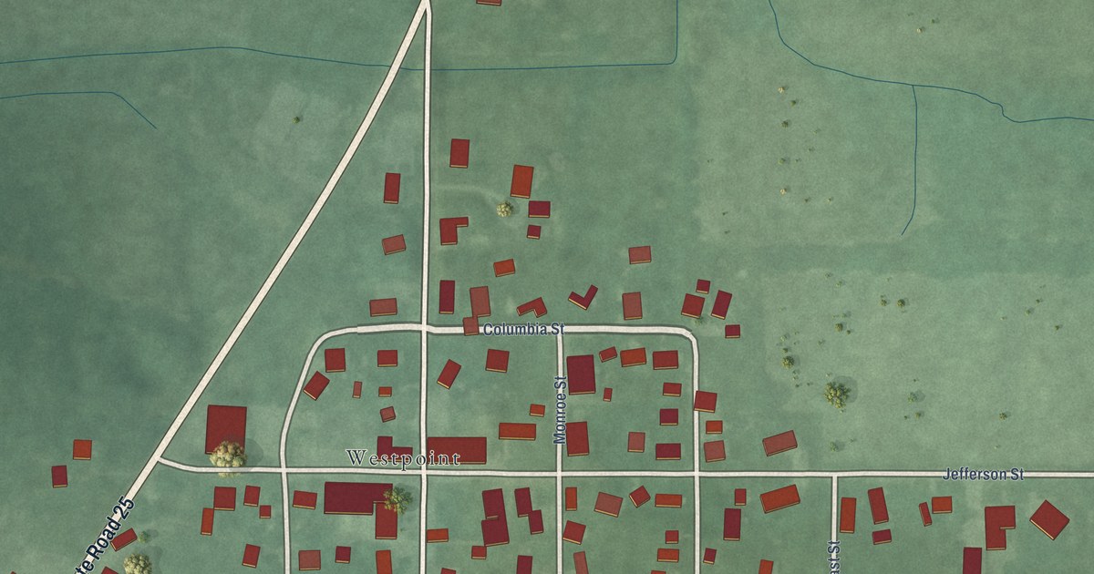
A detailed map of West Point, Indiana, showing every building in its true location, the roads by name, and shaded topographical relief.
Read More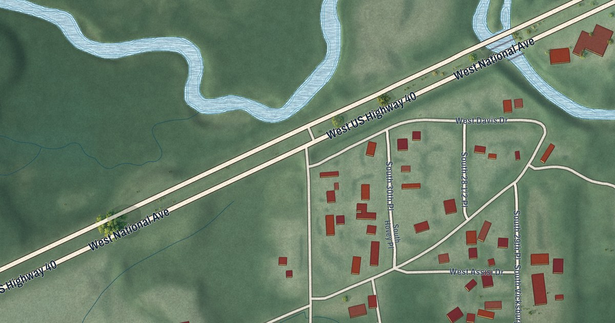
A detailed map of Toad Hop, Indiana, showing every building in its true location, the roads by name, and shaded topographical relief.
Read More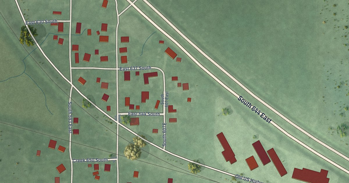
A detailed map of Templeton, Indiana, showing every building in its true location, the roads by name, and shaded topographical relief.
Read More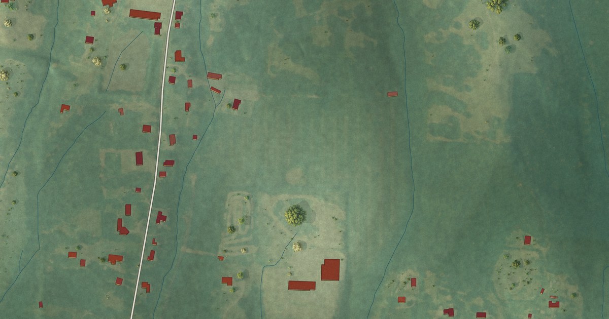
A detailed map of Van Vleet, Mississippi, showing every building in its true location, the roads by name, and shaded topographical relief.
Read More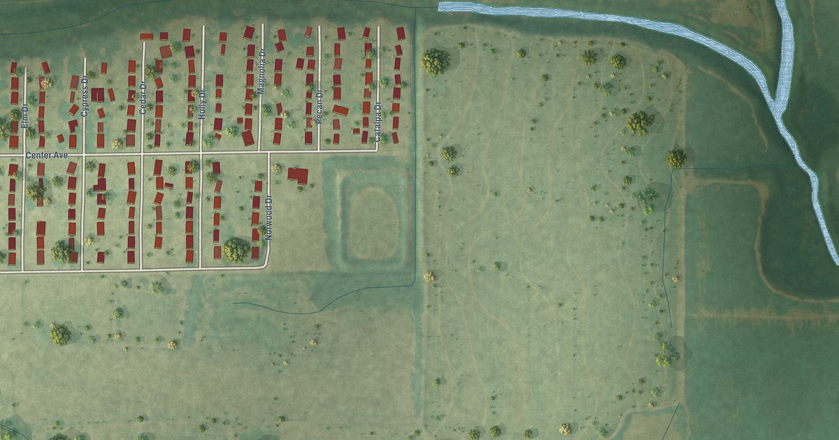
A detailed map of White Oak, Mississippi, showing every building in its true location, the roads by name, and shaded topographical relief.
Read More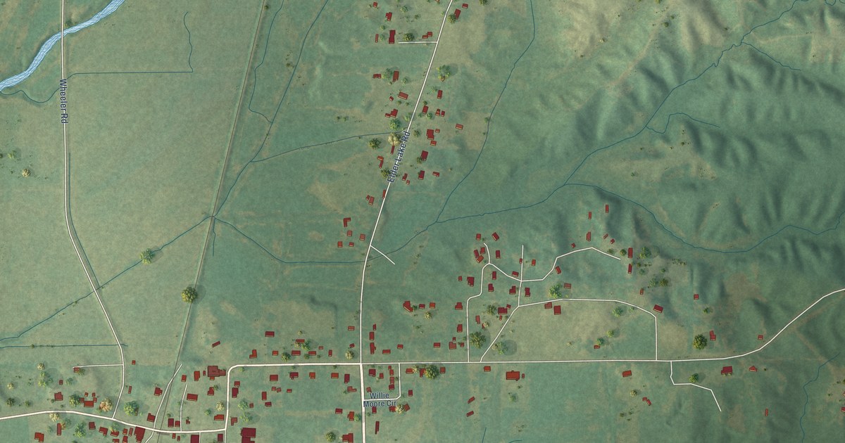
A detailed map of Wheeler, Mississippi, showing every building in its true location, the roads by name, and shaded topographical relief.
Read More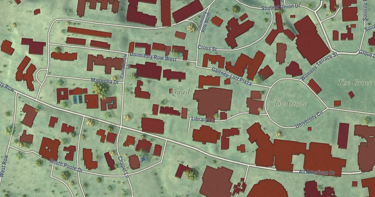
A detailed map of University, Mississippi, showing every building in its true location, the roads by name, and shaded topographical relief.
Read More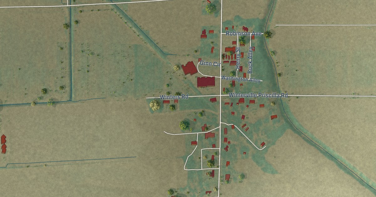
A detailed map of Winterville, Mississippi, showing every building in its true location, the roads by name, and shaded topographical relief.
Read More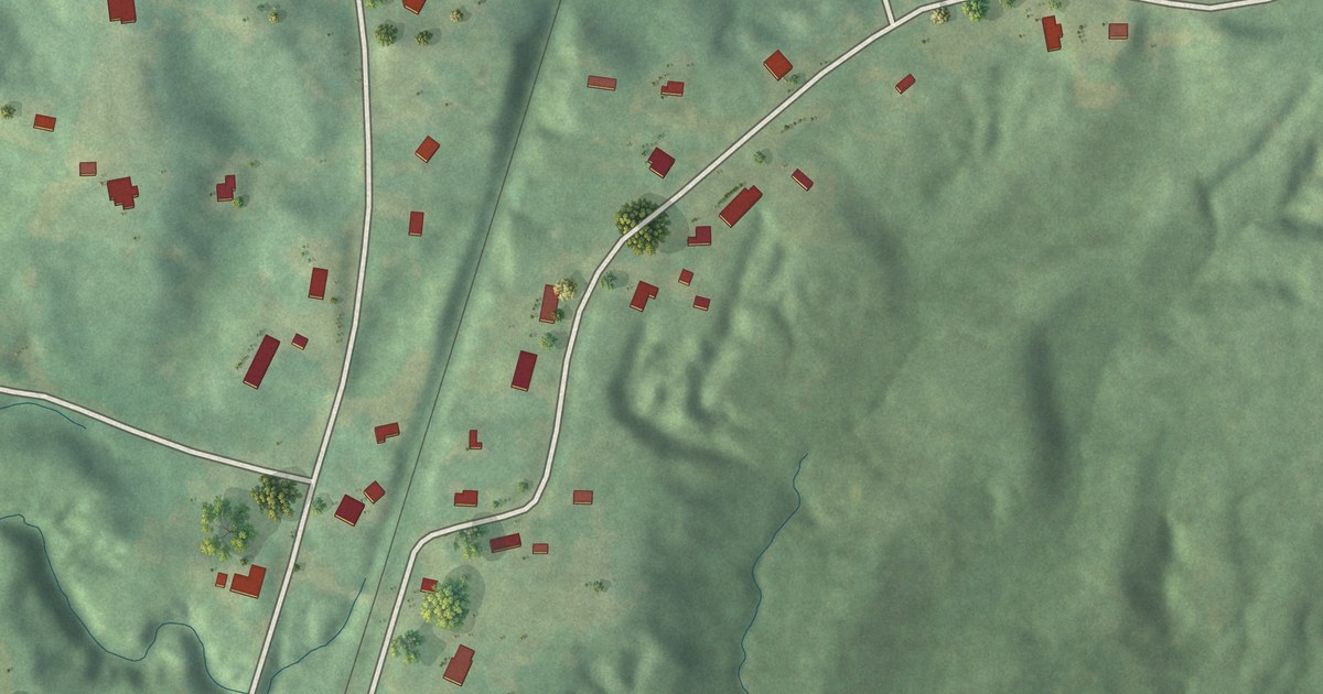
A detailed map of Waterford, Mississippi, showing every building in its true location, the roads by name, and shaded topographical relief.
Read More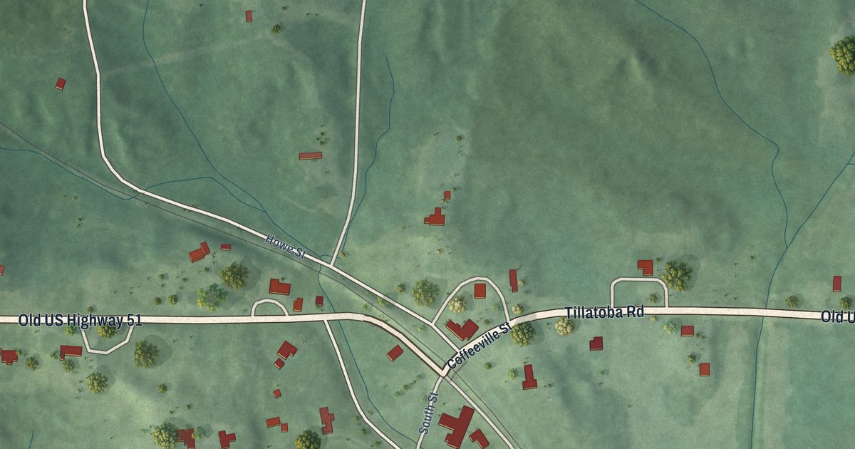
A detailed map of Tillatoba, Mississippi, showing every building in its true location, the roads by name, and shaded topographical relief.
Read More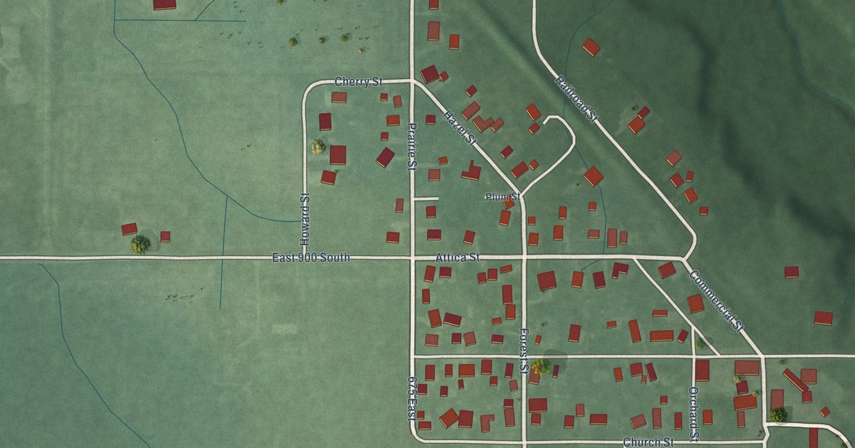
A detailed map of Stockwell, Indiana, showing every building in its true location, the roads by name, and shaded topographical relief.
Read More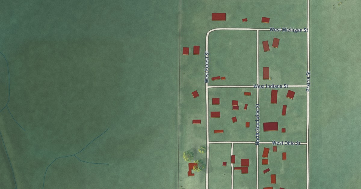
A detailed map of Tab, Indiana, showing every building in its true location, the roads by name, and shaded topographical relief.
Read More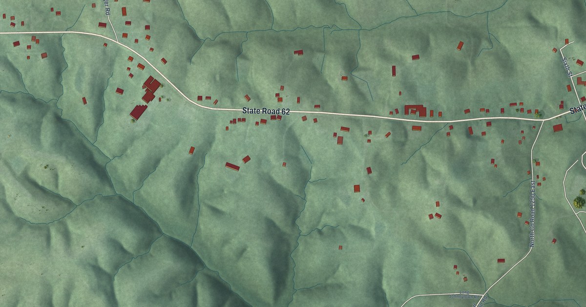
A detailed map of St. Meinrad, Indiana, showing every building in its true location, the roads by name, and shaded topographical relief.
Read More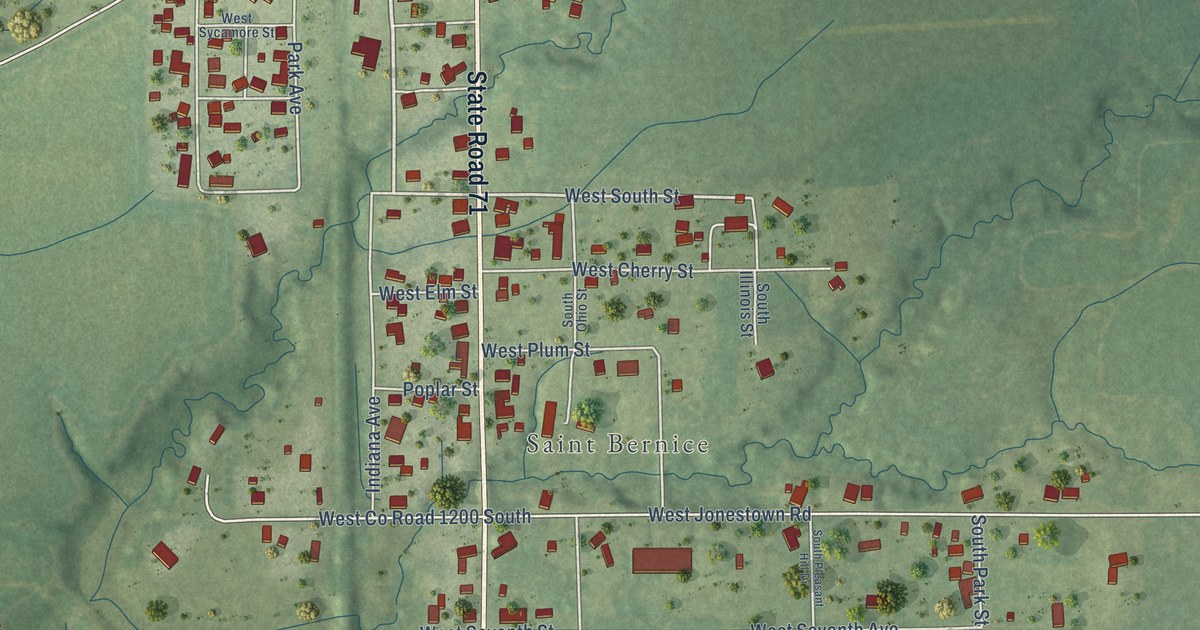
A detailed map of St. Bernice, Indiana, showing every building in its true location, the roads by name, and shaded topographical relief.
Read More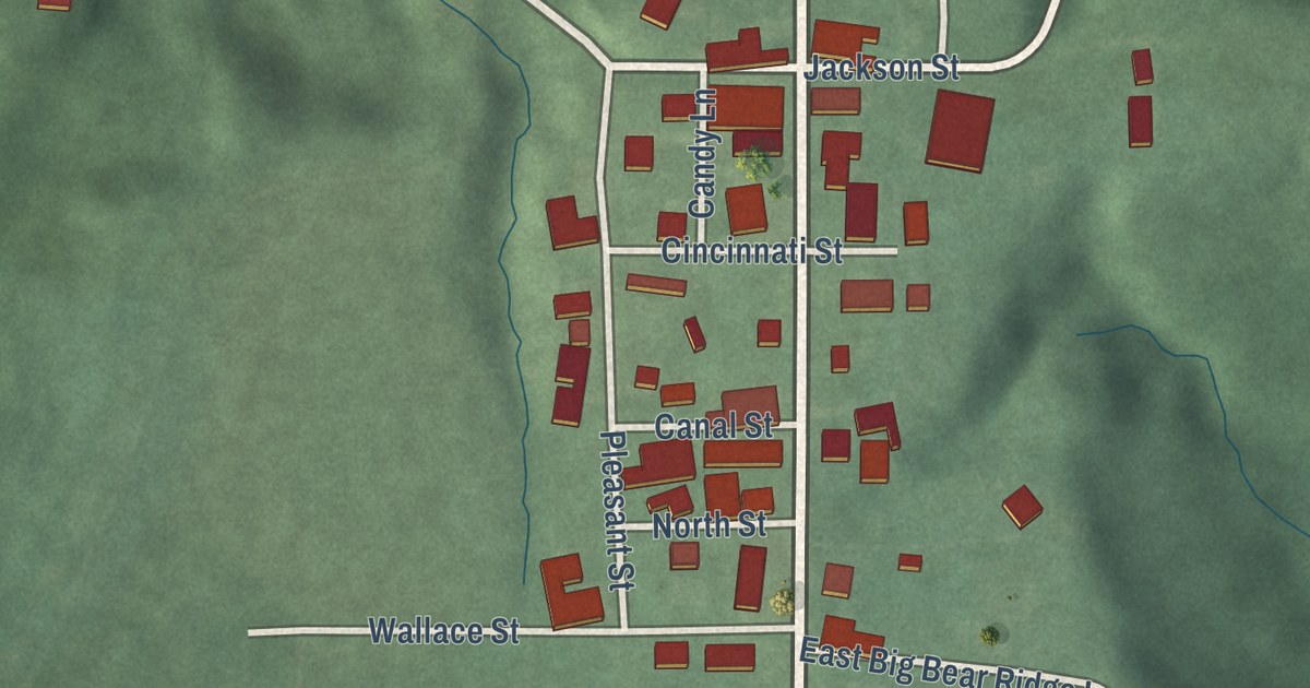
A detailed map of Scotland, Indiana, showing every building in its true location, the roads by name, and shaded topographical relief.
Read More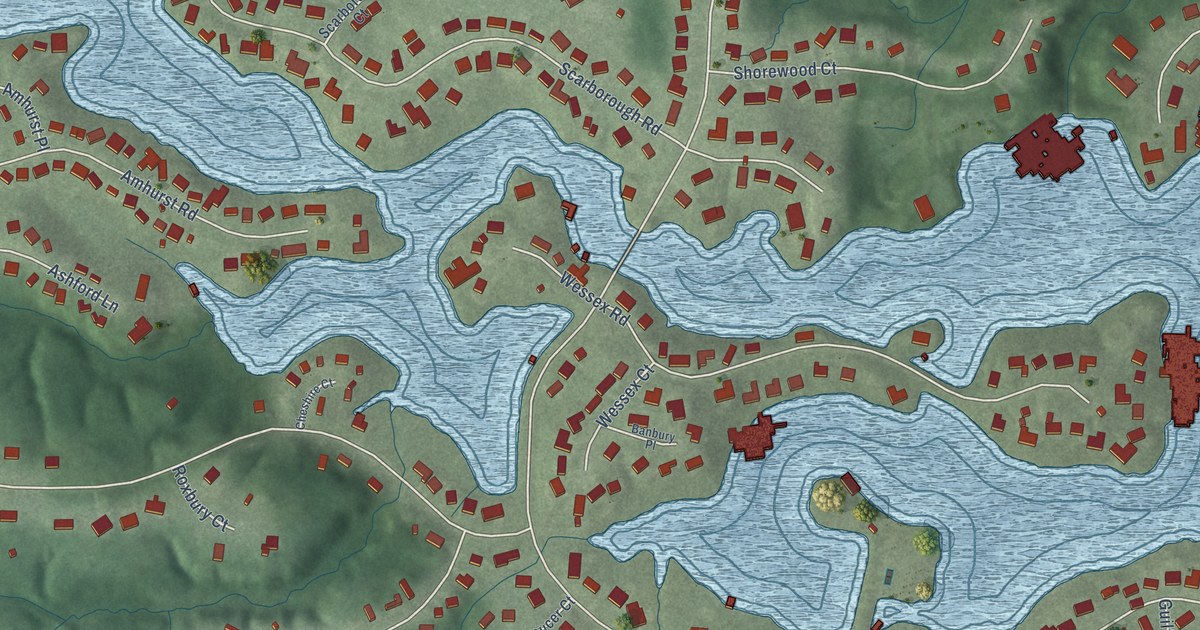
A detailed map of Shorewood Forest, Indiana, showing every building in its true location, the roads by name, and shaded topographical relief.
Read More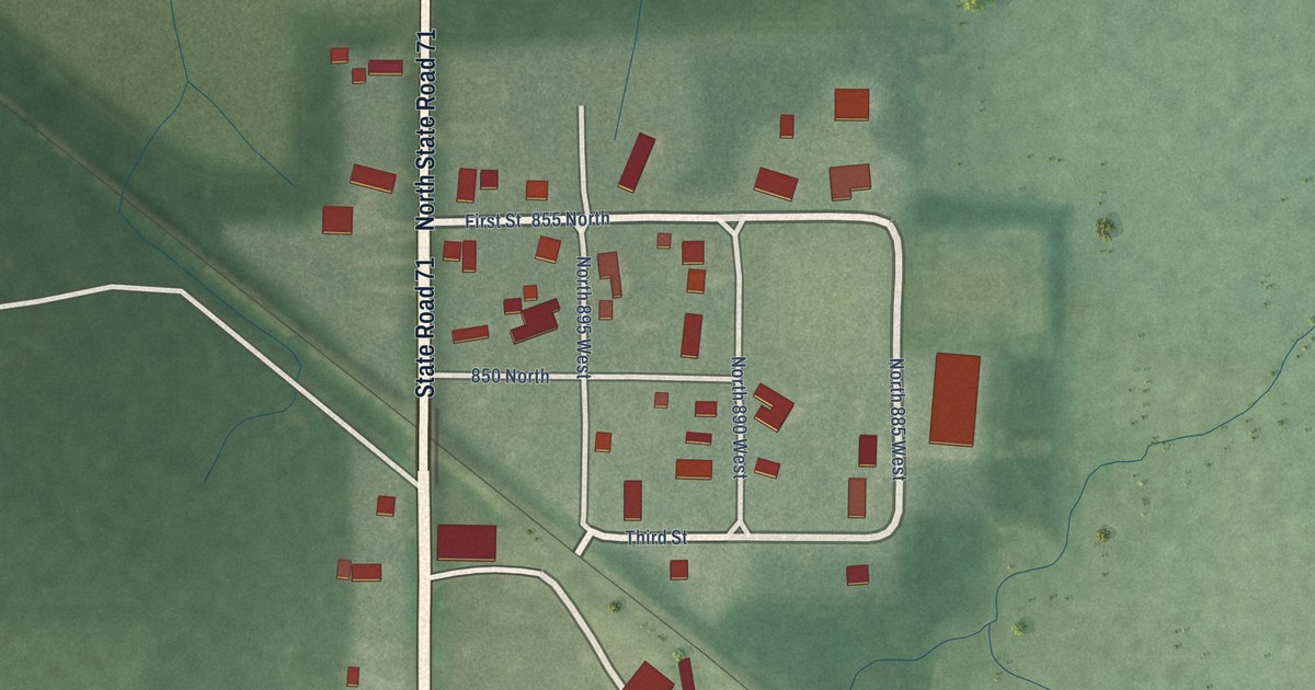
A detailed map of Raub, Indiana, showing every building in its true location, the roads by name, and shaded topographical relief.
Read More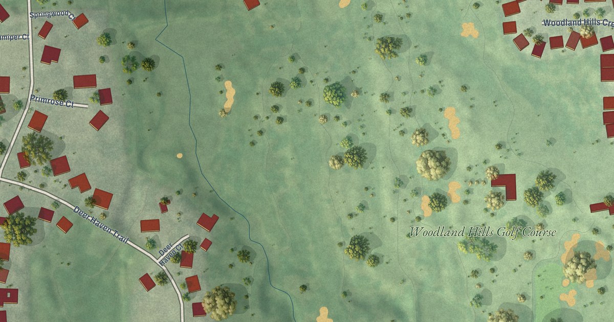
A detailed map of Woodland Hills, Nebraska, showing every building in its true location, the roads by name, and shaded topographical relief.
Read More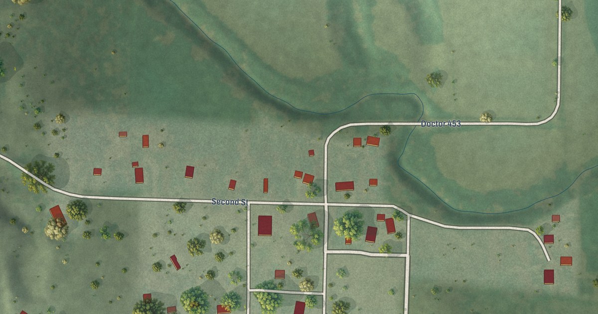
A detailed map of Westerville, Nebraska, showing every building in its true location, the roads by name, and shaded topographical relief.
Read More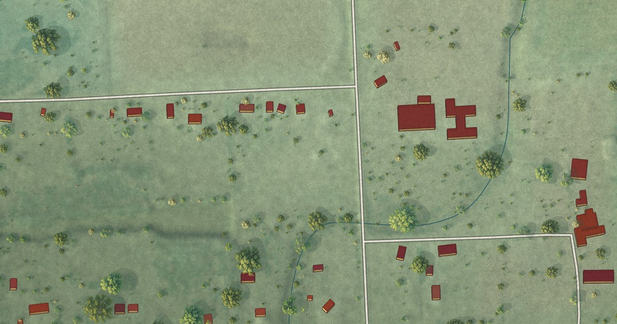
A detailed map of Wann, Nebraska, showing every building in its true location, the roads by name, and shaded topographical relief.
Read More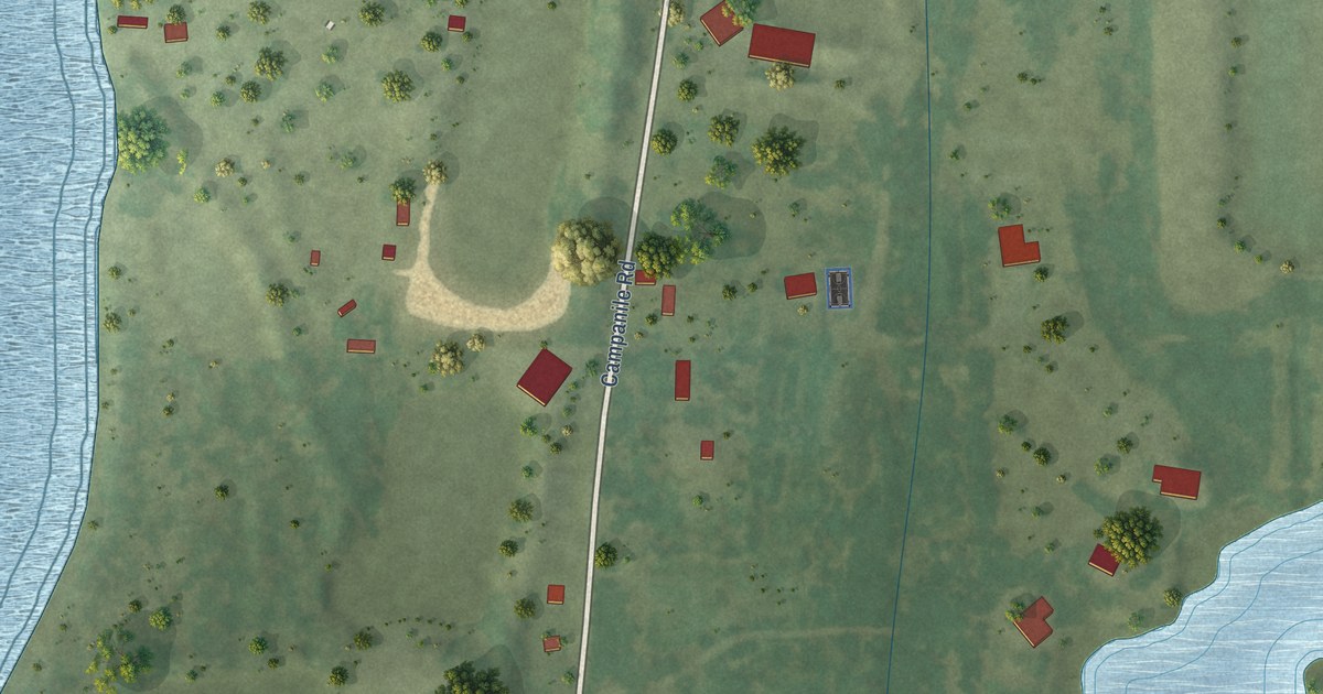
A detailed map of Venice, Nebraska, showing every building in its true location, the roads by name, and shaded topographical relief.
Read More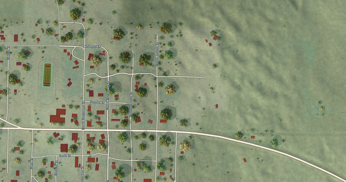
A detailed map of Tryon, Nebraska, showing every building in its true location, the roads by name, and shaded topographical relief.
Read More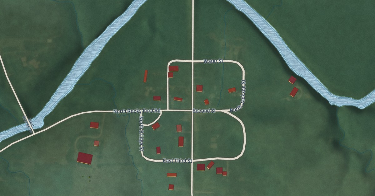
A detailed map of Rainsville, Indiana, showing every building in its true location, the roads by name, and shaded topographical relief.
Read More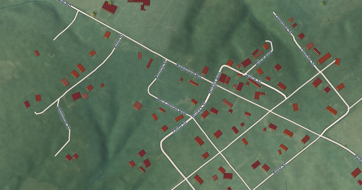
A detailed map of Ragsdale, Indiana, showing every building in its true location, the roads by name, and shaded topographical relief.
Read More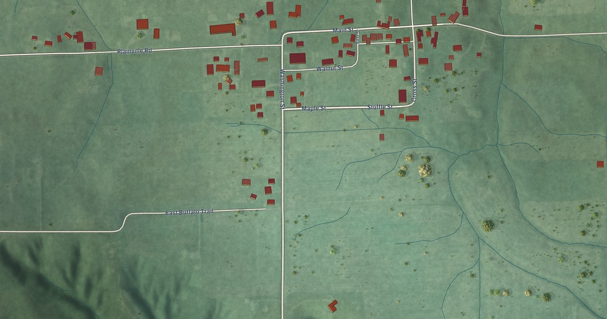
A detailed map of Raglesville, Indiana, showing every building in its true location, the roads by name, and shaded topographical relief.
Read More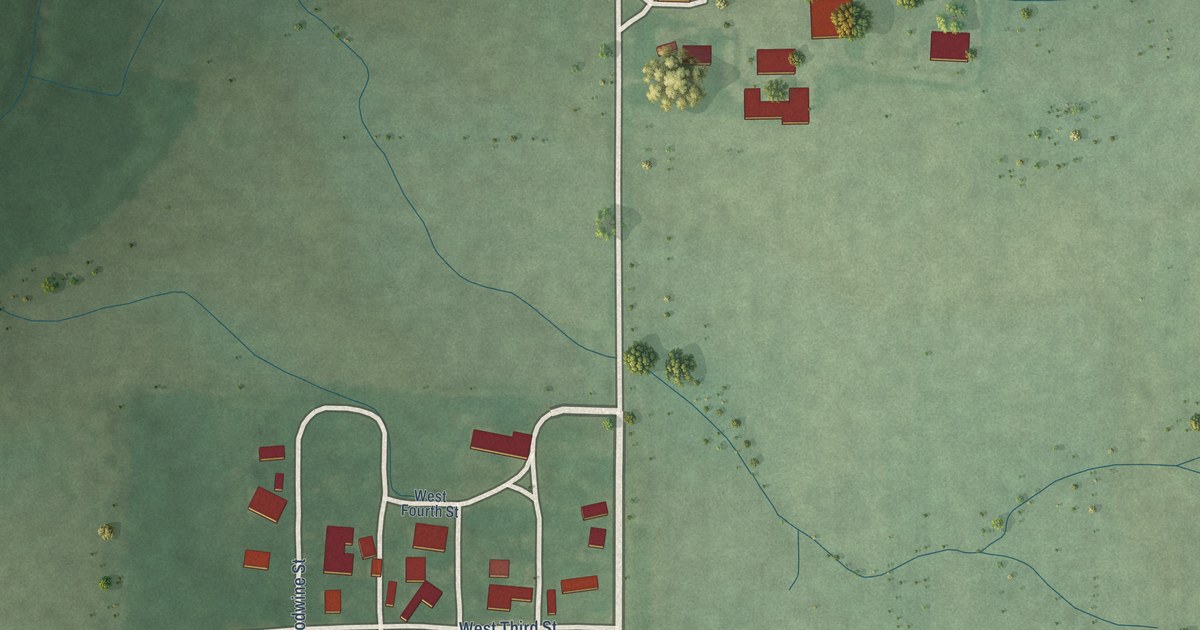
A detailed map of Pence, Indiana, showing every building in its true location, the roads by name, and shaded topographical relief.
Read More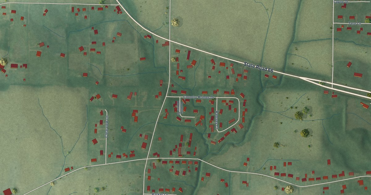
A detailed map of Parkers Settlement, Indiana, showing every building in its true location, the roads by name, and shaded topographical relief.
Read More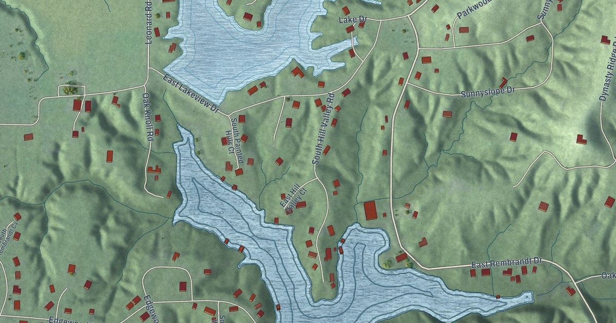
A detailed map of Painted Hills, Indiana, showing every building in its true location, the roads by name, and shaded topographical relief.
Read More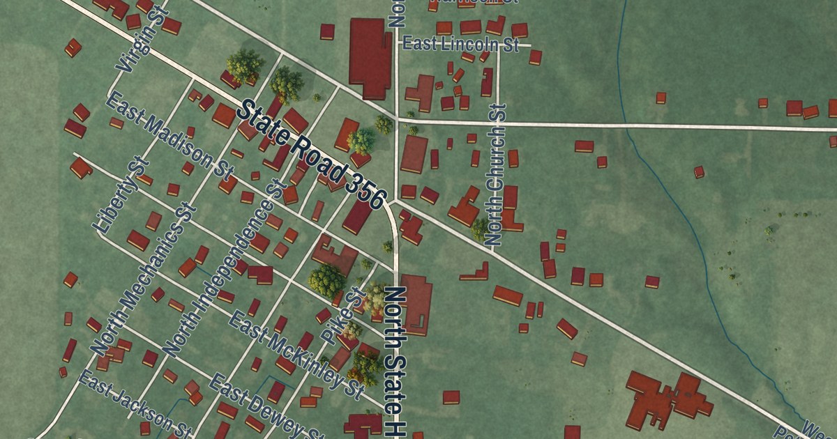
A detailed map of Otwell, Indiana, showing every building in its true location, the roads by name, and shaded topographical relief.
Read More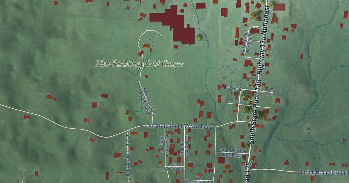
A detailed map of New Salisbury, Indiana, showing every building in its true location, the roads by name, and shaded topographical relief.
Read More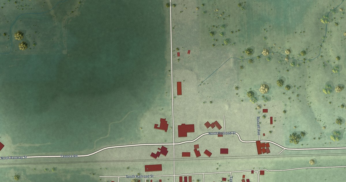
A detailed map of Tamora, Nebraska, showing every building in its true location, the roads by name, and shaded topographical relief.
Read More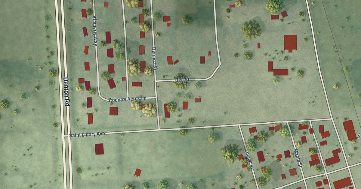
A detailed map of St. Libory, Nebraska, showing every building in its true location, the roads by name, and shaded topographical relief.
Read More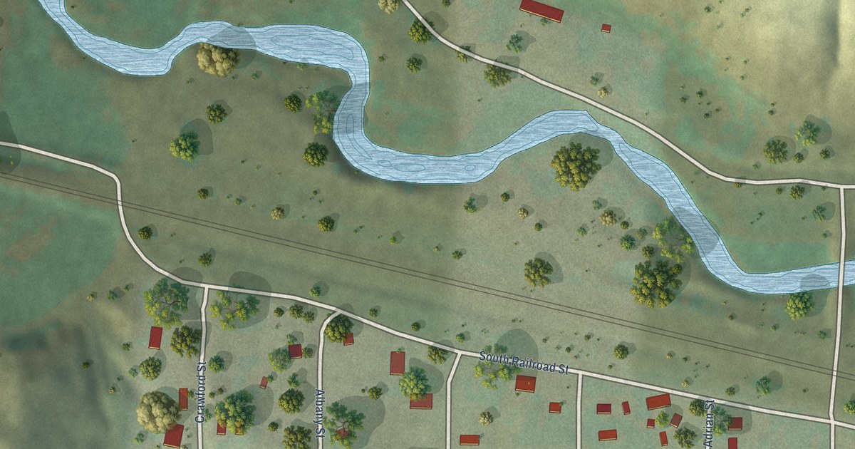
A detailed map of Seneca, Nebraska, showing every building in its true location, the roads by name, and shaded topographical relief.
Read More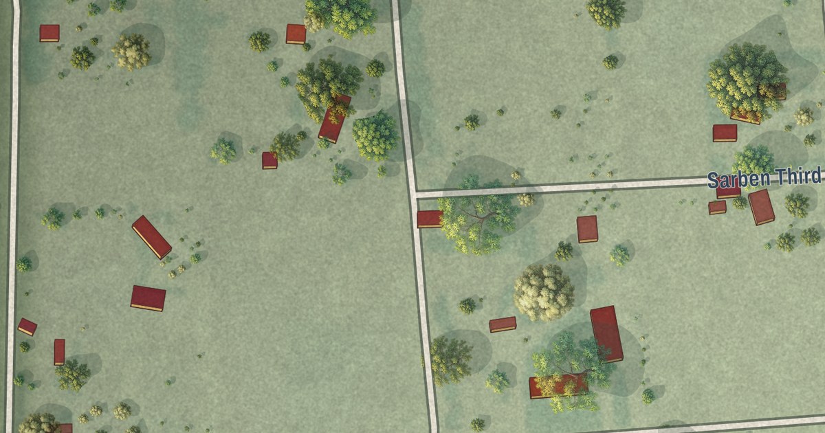
A detailed map of Sarben, Nebraska, showing every building in its true location, the roads by name, and shaded topographical relief.
Read More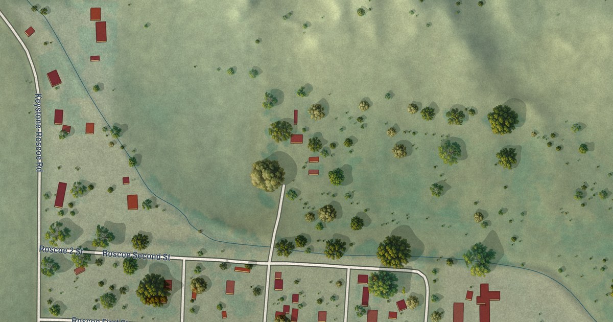
A detailed map of Roscoe, Nebraska, showing every building in its true location, the roads by name, and shaded topographical relief.
Read More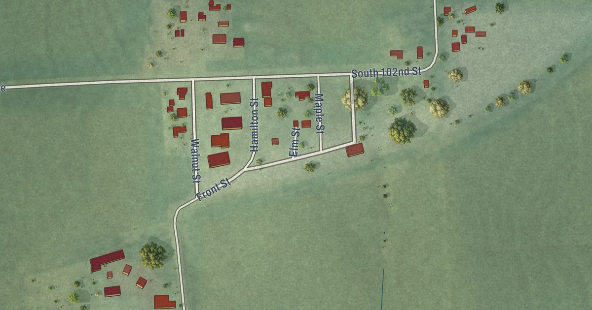
A detailed map of Richfield, Nebraska, showing every building in its true location, the roads by name, and shaded topographical relief.
Read More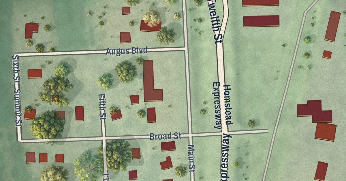
A detailed map of Princeton, Nebraska, showing every building in its true location, the roads by name, and shaded topographical relief.
Read More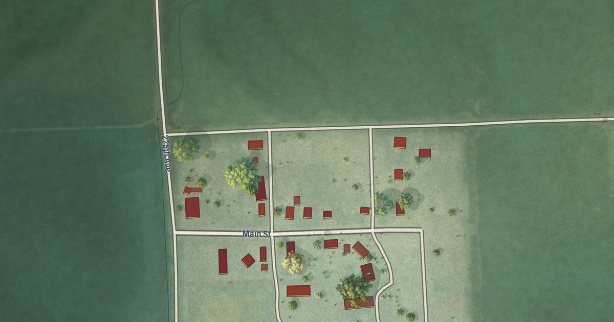
A detailed map of Raeville, Nebraska, showing every building in its true location, the roads by name, and shaded topographical relief.
Read More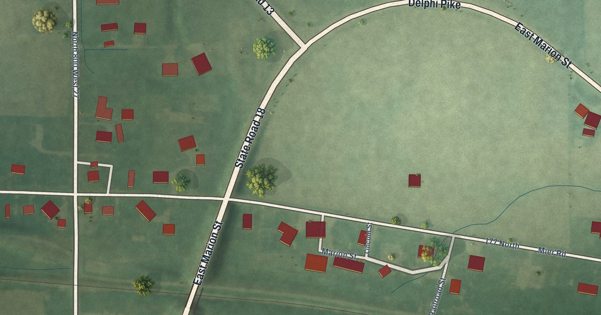
A detailed map of Mier, Indiana, showing every building in its true location, the roads by name, and shaded topographical relief.
Read More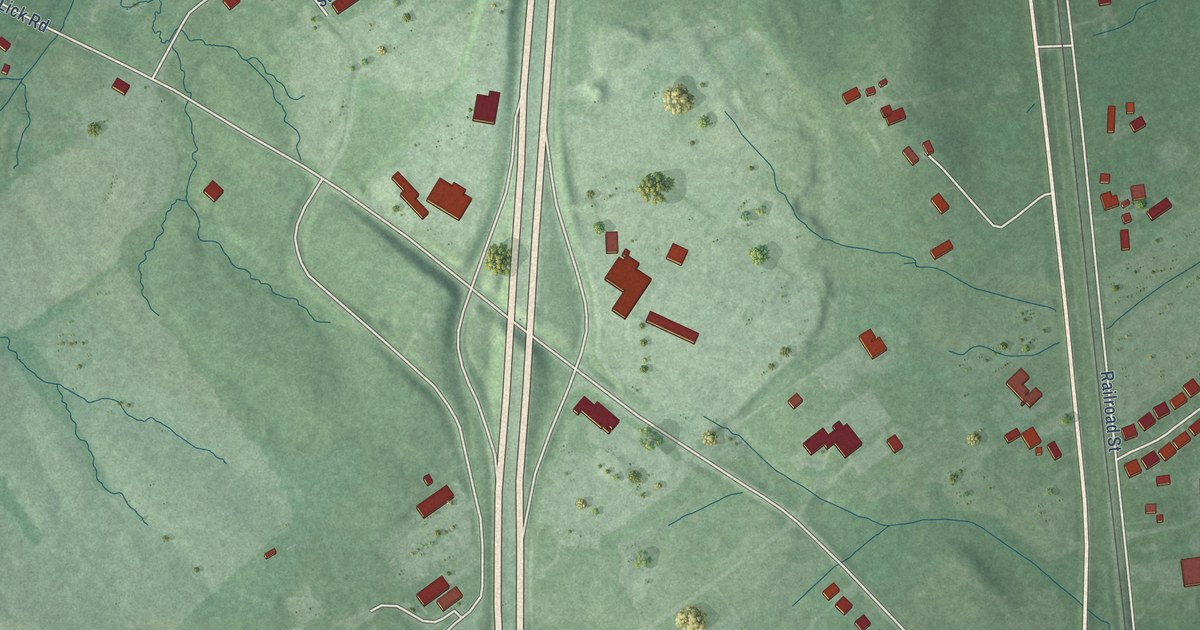
A detailed map of Memphis, Indiana, showing every building in its true location, the roads by name, and shaded topographical relief.
Read More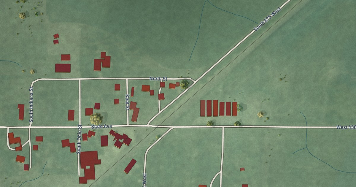
A detailed map of Marshfield, Indiana, showing every building in its true location, the roads by name, and shaded topographical relief.
Read More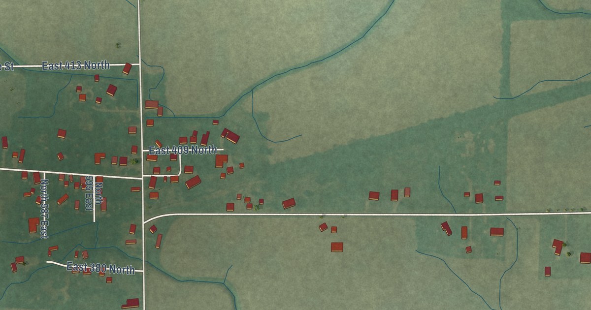
A detailed map of Landess, Indiana, showing every building in its true location, the roads by name, and shaded topographical relief.
Read More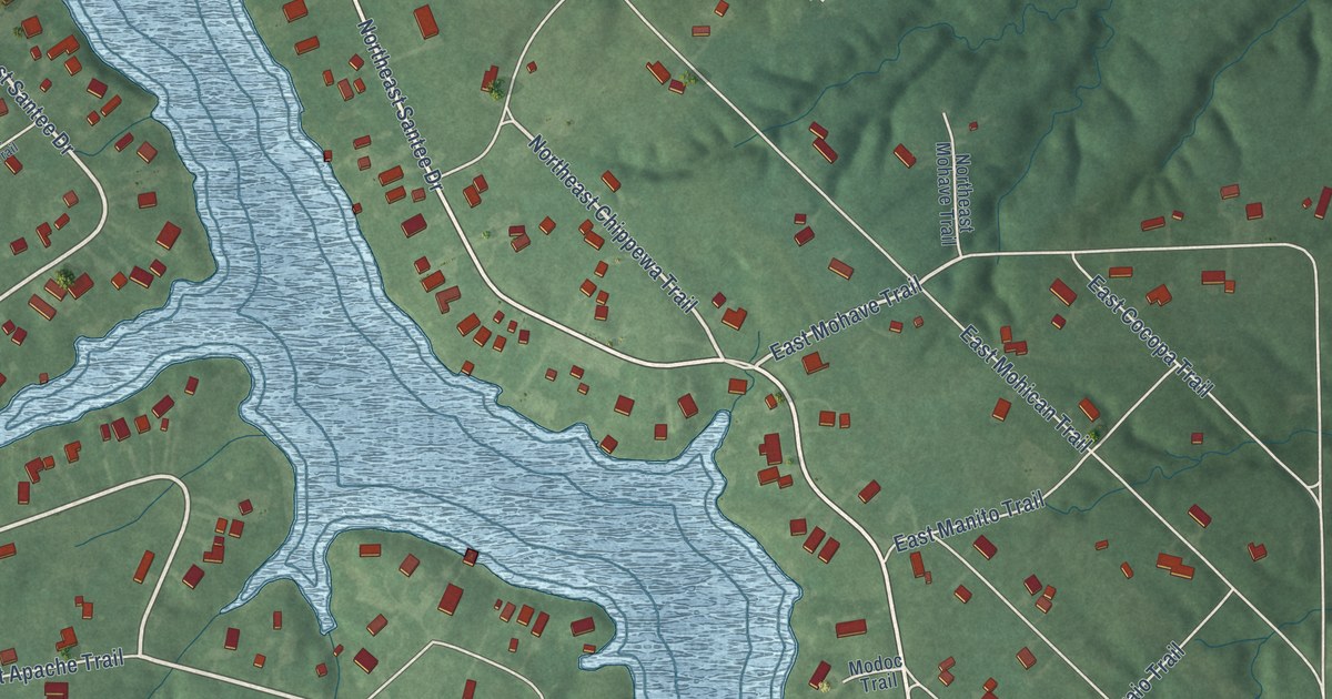
A detailed map of Lake Santee, Indiana, showing every building in its true location, the roads by name, and shaded topographical relief.
Read More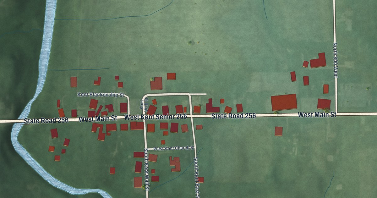
A detailed map of Kent, Indiana, showing every building in its true location, the roads by name, and shaded topographical relief.
Read More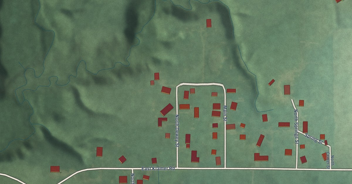
A detailed map of Kramer, Indiana, showing every building in its true location, the roads by name, and shaded topographical relief.
Read More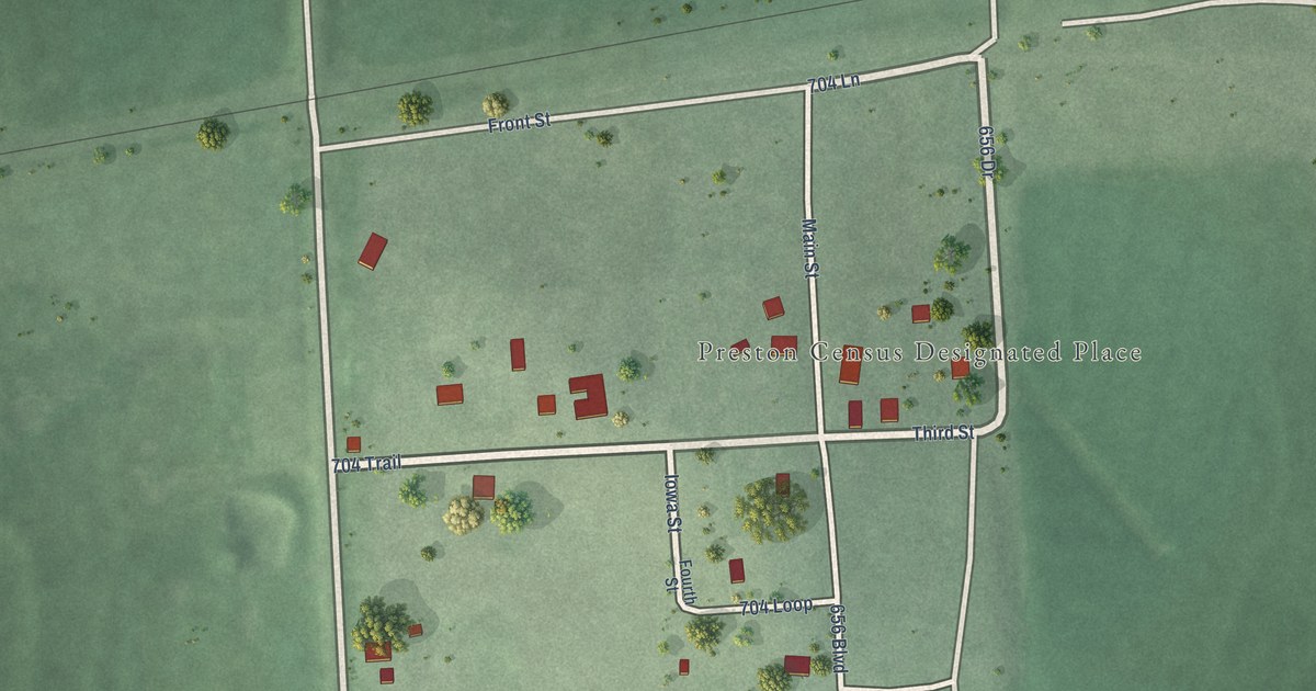
A detailed map of Preston, Nebraska, showing every building in its true location, the roads by name, and shaded topographical relief.
Read More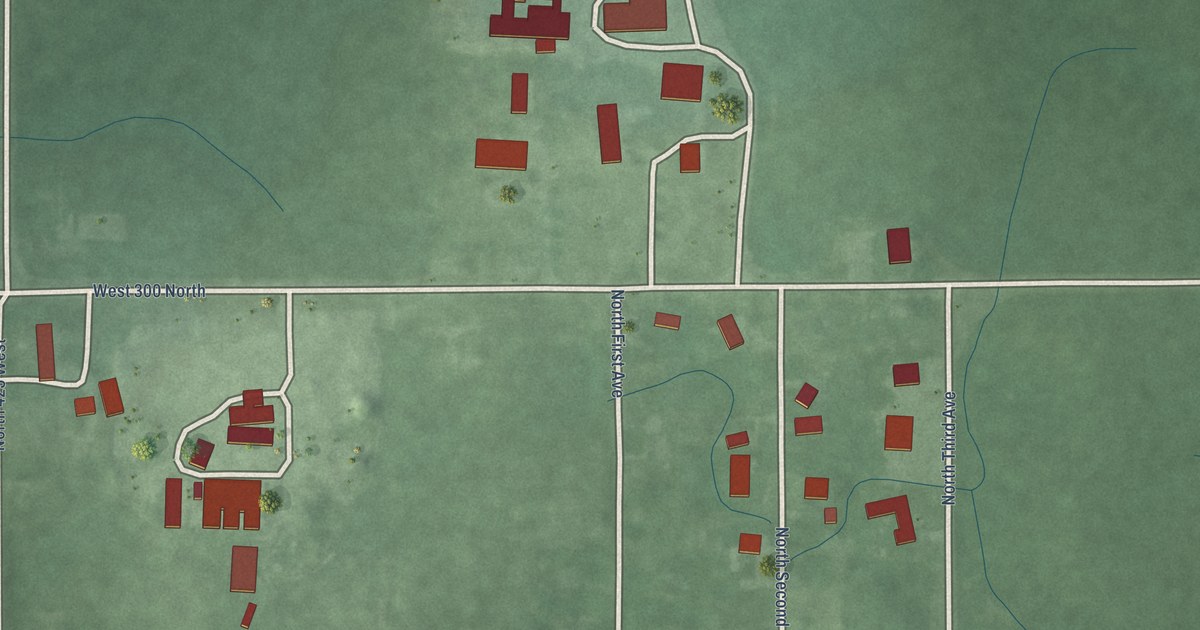
A detailed map of Judyville, Indiana, showing every building in its true location, the roads by name, and shaded topographical relief.
Read More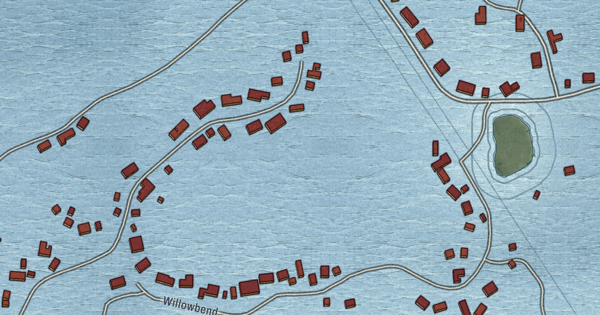
A detailed map of Overland, Nebraska, showing every building in its true location, the roads by name, and shaded topographical relief.
Read More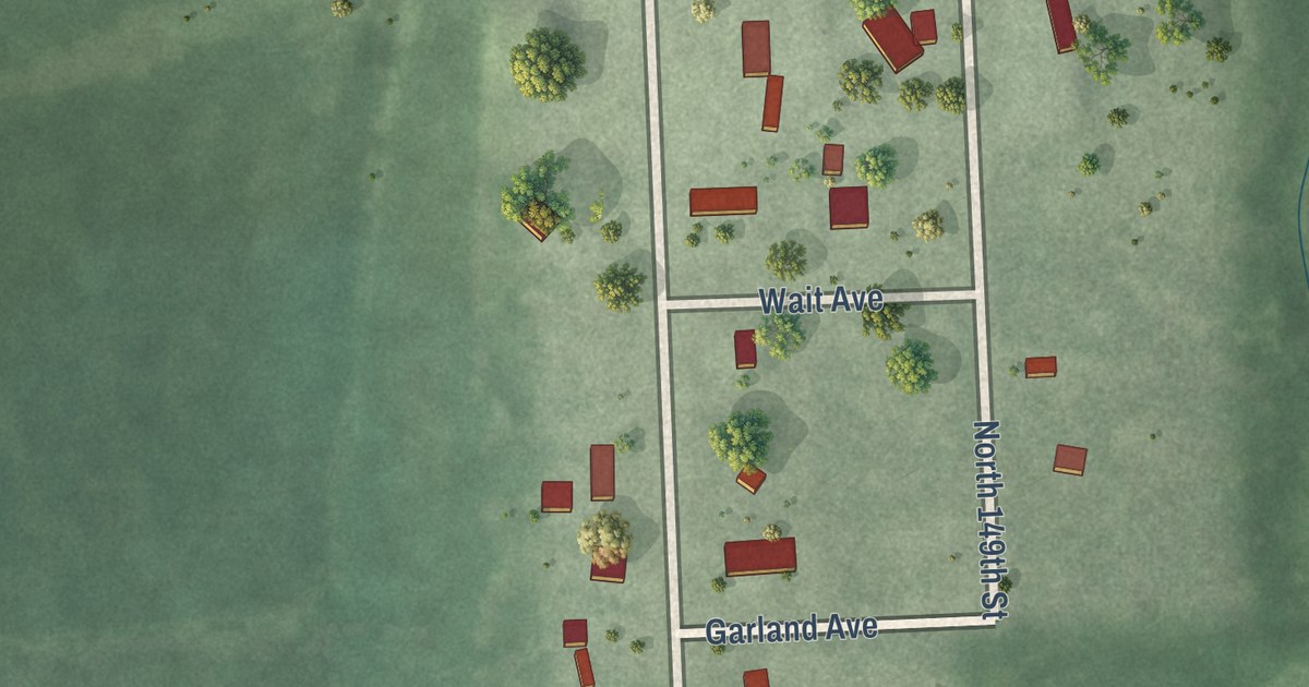
A detailed map of Prairie Home, Nebraska, showing every building in its true location, the roads by name, and shaded topographical relief.
Read More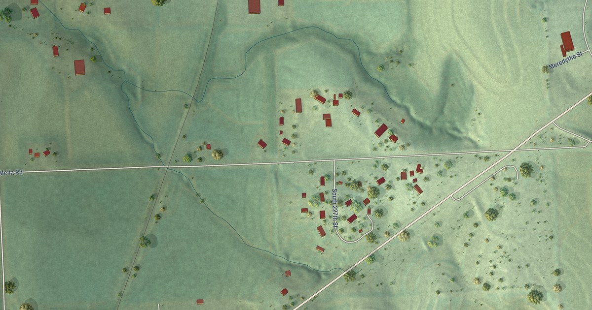
A detailed map of Melia, Nebraska, showing every building in its true location, the roads by name, and shaded topographical relief.
Read More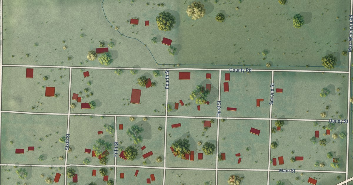
A detailed map of Max, Nebraska, showing every building in its true location, the roads by name, and shaded topographical relief.
Read More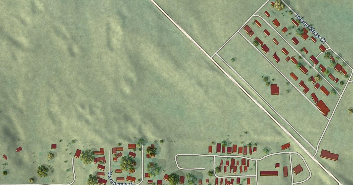
A detailed map of Martin, Nebraska, showing every building in its true location, the roads by name, and shaded topographical relief.
Read More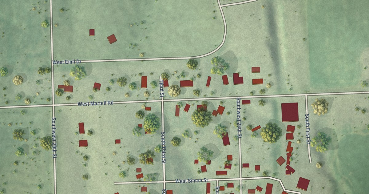
A detailed map of Martell, Nebraska, showing every building in its true location, the roads by name, and shaded topographical relief.
Read More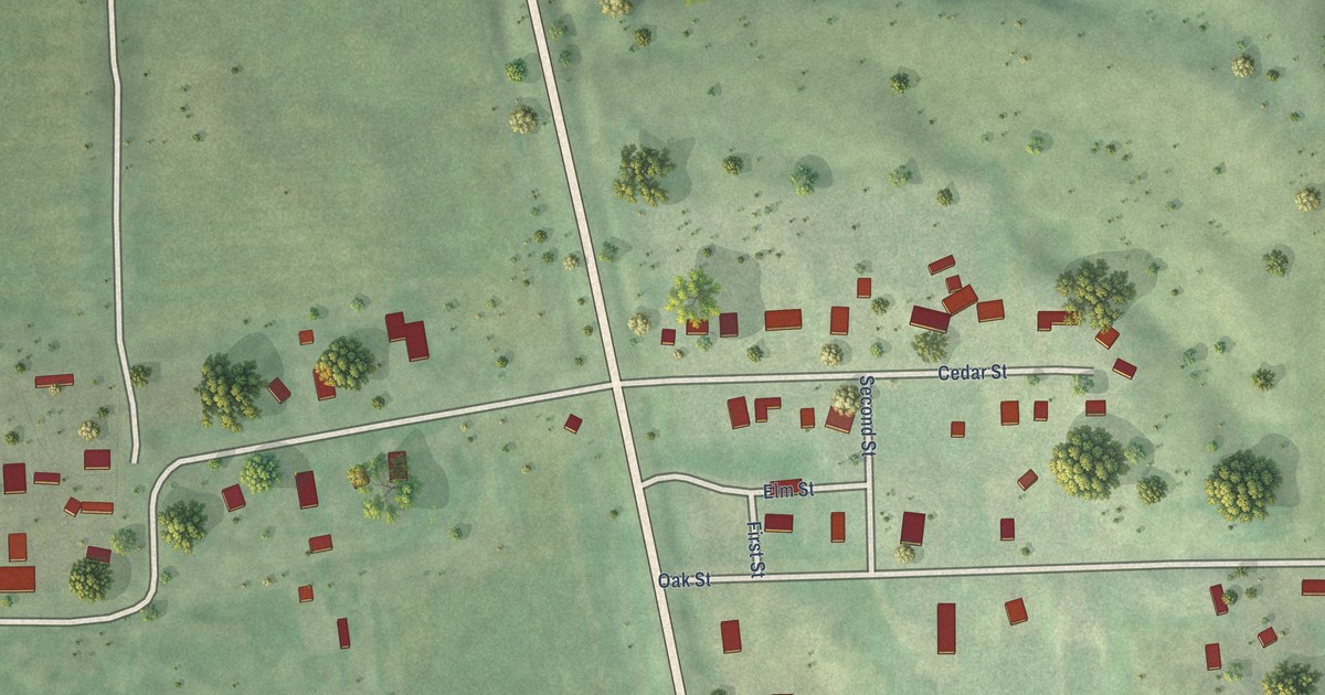
A detailed map of Loretto, Nebraska, showing every building in its true location, the roads by name, and shaded topographical relief.
Read More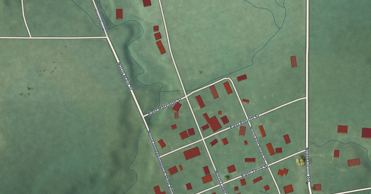
A detailed map of Independence, Indiana, showing every building in its true location, the roads by name, and shaded topographical relief.
Read More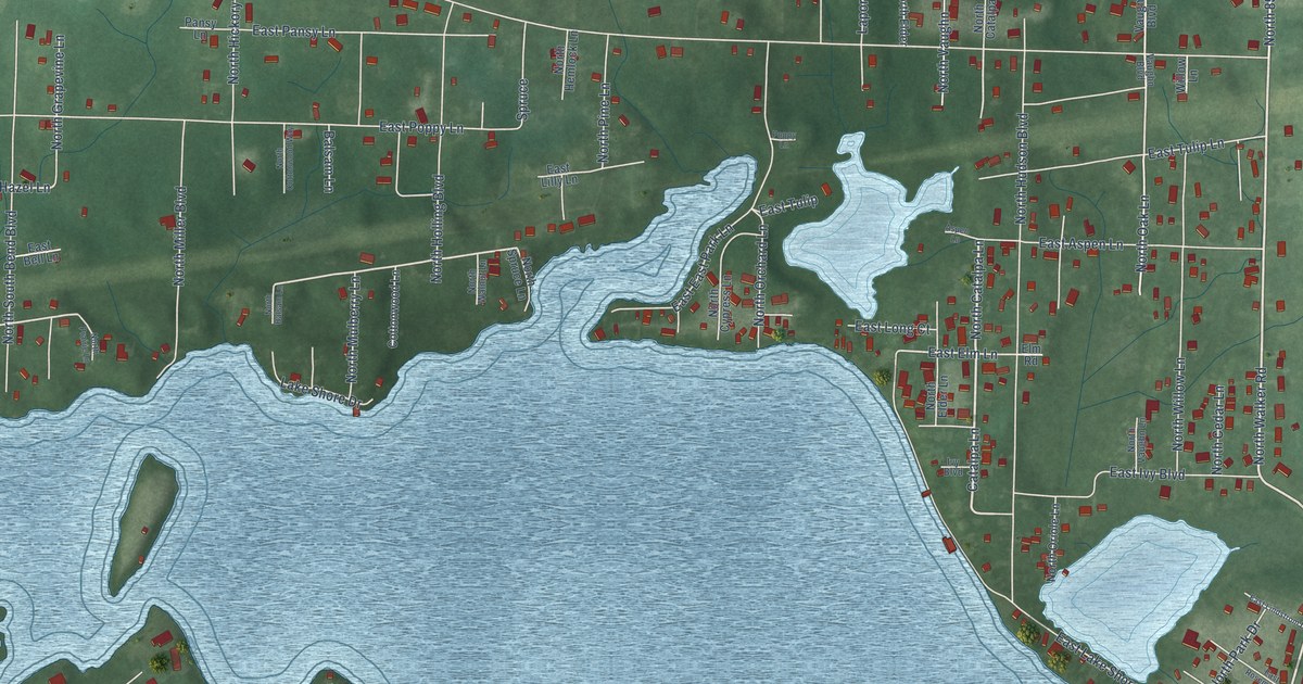
A detailed map of Hudson Lake, Indiana, showing every building in its true location, the roads by name, and shaded topographical relief.
Read More















