Detailed Map of Howe, Indiana
A detailed map of Howe, Indiana, showing every building in its true location, the roads by name, and shaded topographical relief.
Read More
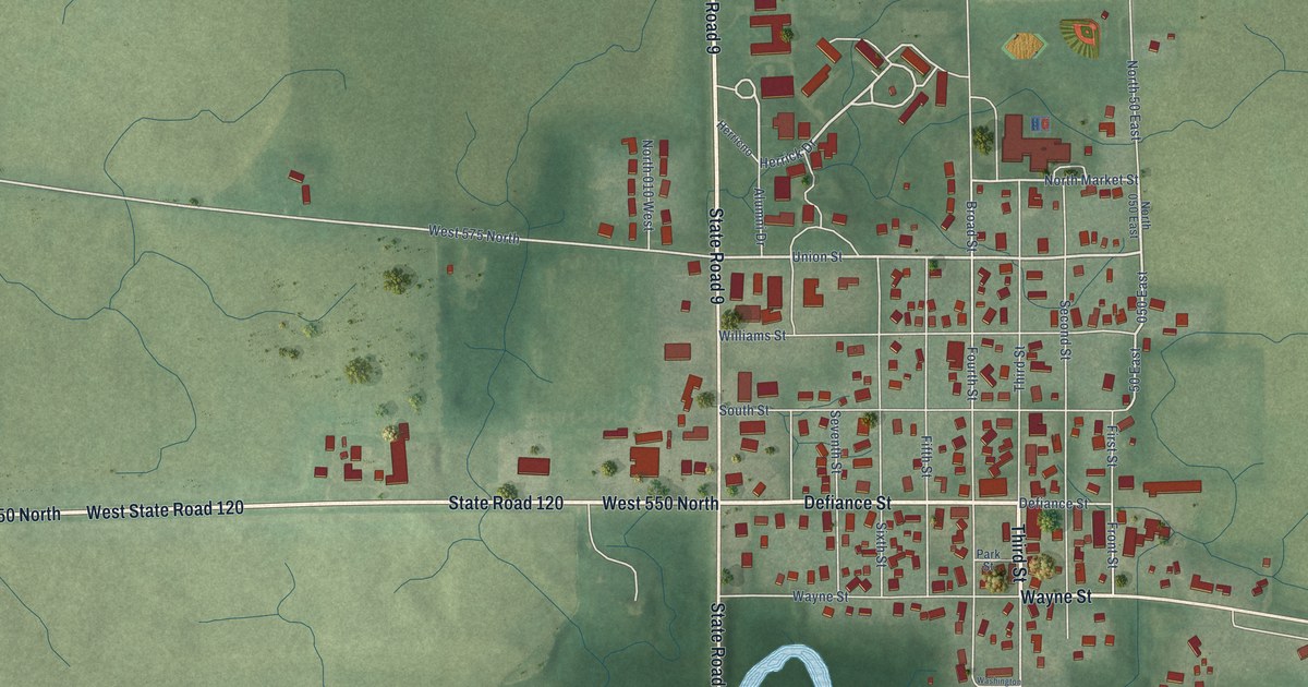
A detailed map of Howe, Indiana, showing every building in its true location, the roads by name, and shaded topographical relief.
Read More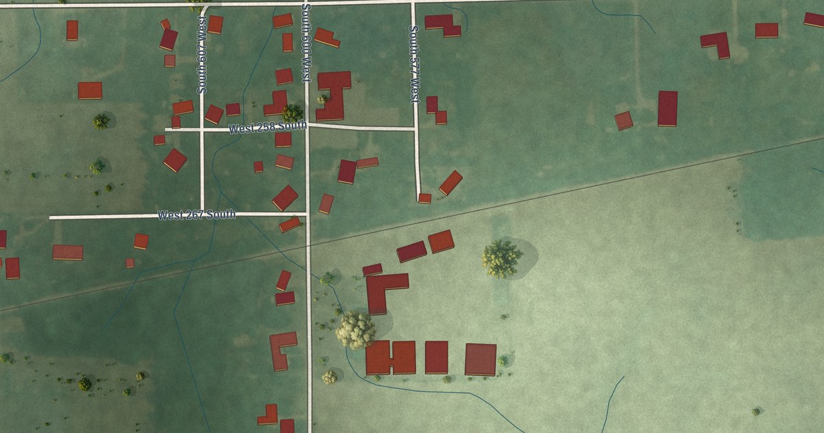
A detailed map of Herbst, Indiana, showing every building in its true location, the roads by name, and shaded topographical relief.
Read More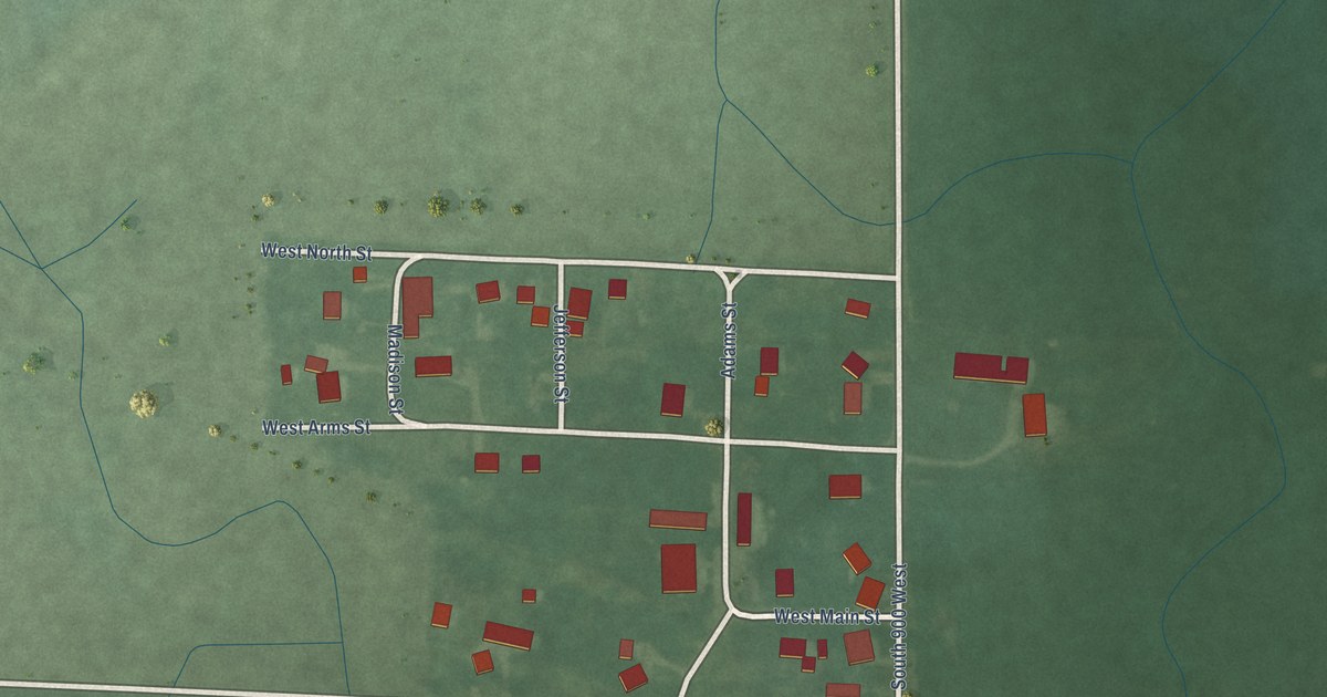
A detailed map of Hedrick, Indiana, showing every building in its true location, the roads by name, and shaded topographical relief.
Read More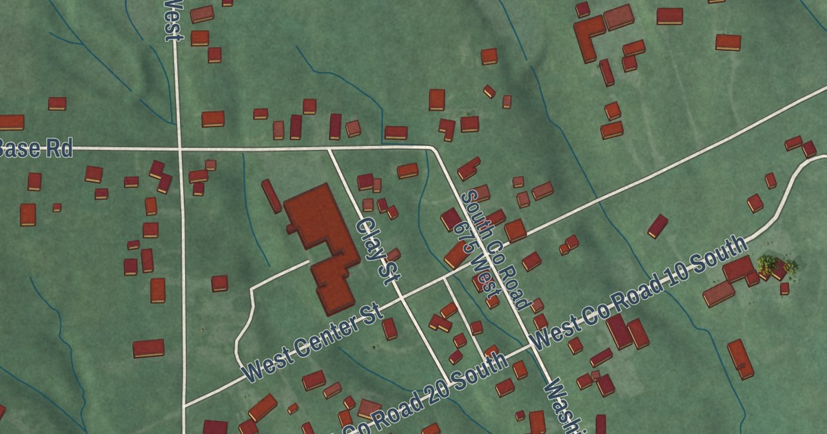
A detailed map of Hayden, Indiana, showing every building in its true location, the roads by name, and shaded topographical relief.
Read More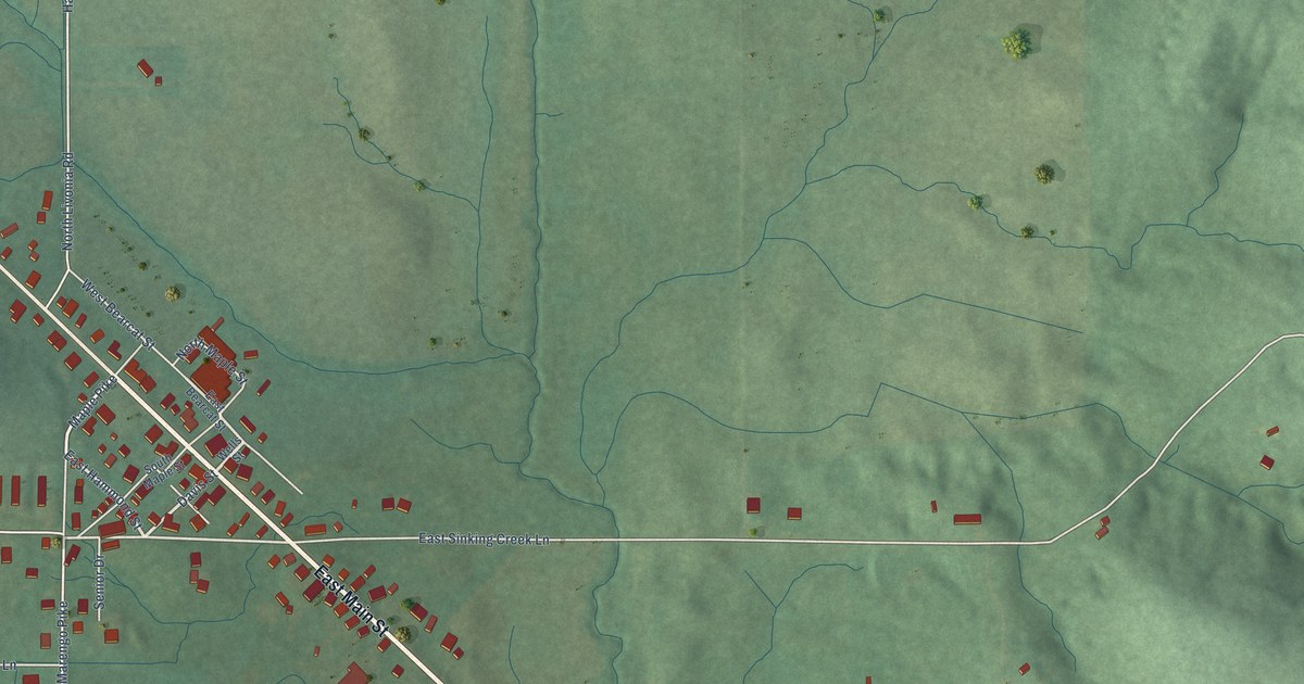
A detailed map of Hardinsburg, Indiana, showing every building in its true location, the roads by name, and shaded topographical relief.
Read More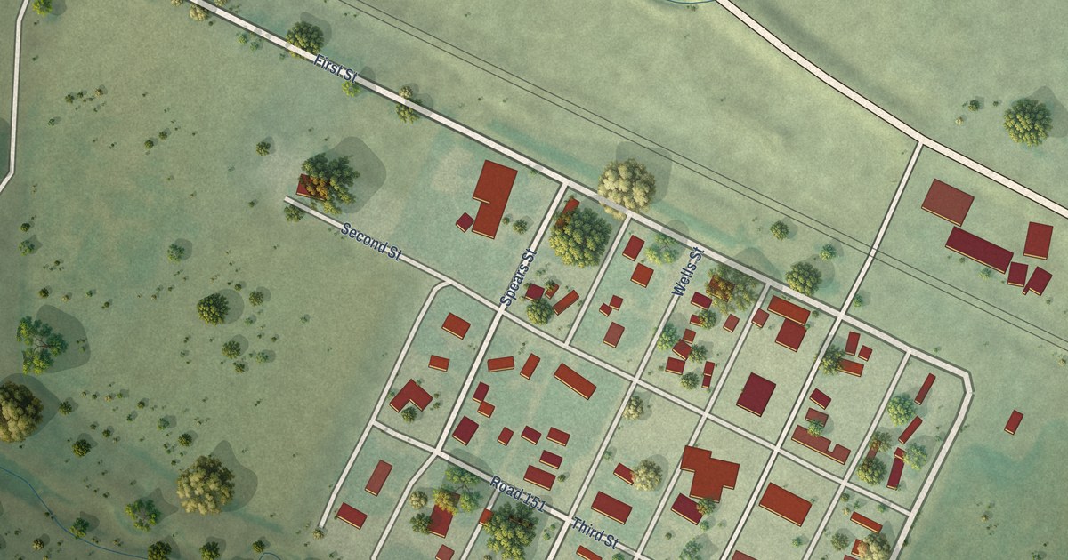
A detailed map of Lisco, Nebraska, showing every building in its true location, the roads by name, and shaded topographical relief.
Read More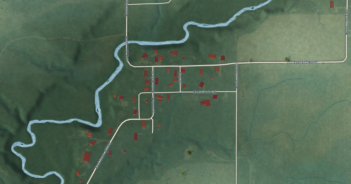
A detailed map of Green Hill, Indiana, showing every building in its true location, the roads by name, and shaded topographical relief.
Read More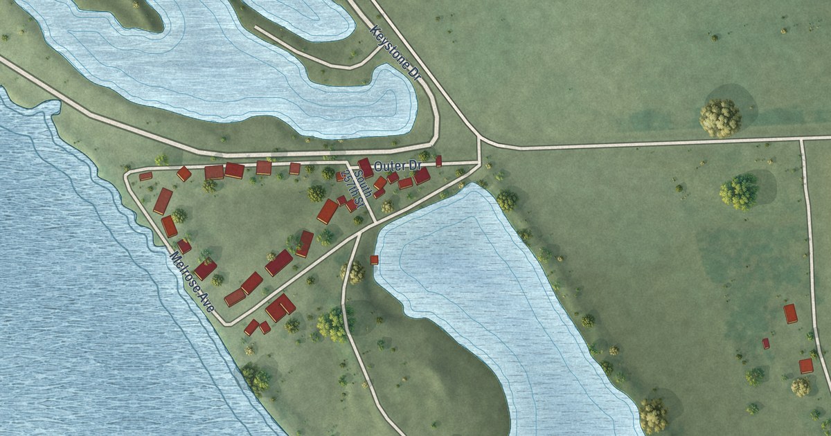
A detailed map of Linoma Beach, Nebraska, showing every building in its true location, the roads by name, and shaded topographical relief.
Read More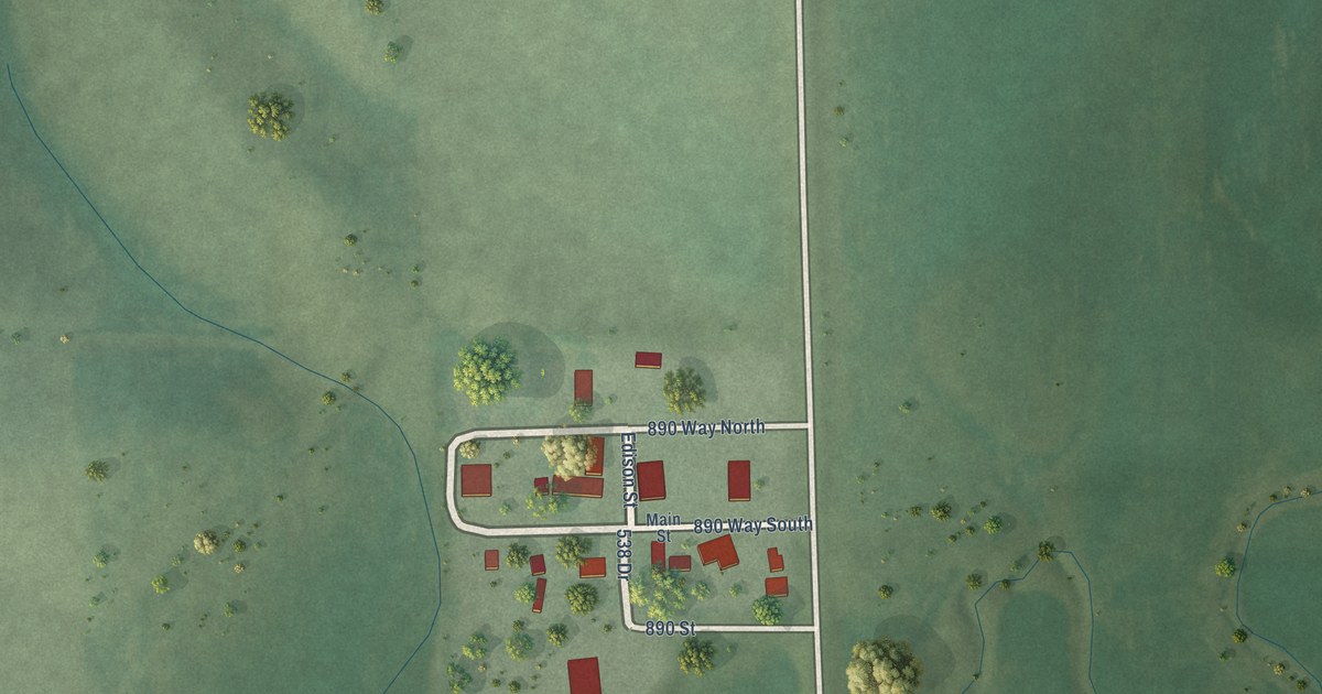
A detailed map of Lindy, Nebraska, showing every building in its true location, the roads by name, and shaded topographical relief.
Read More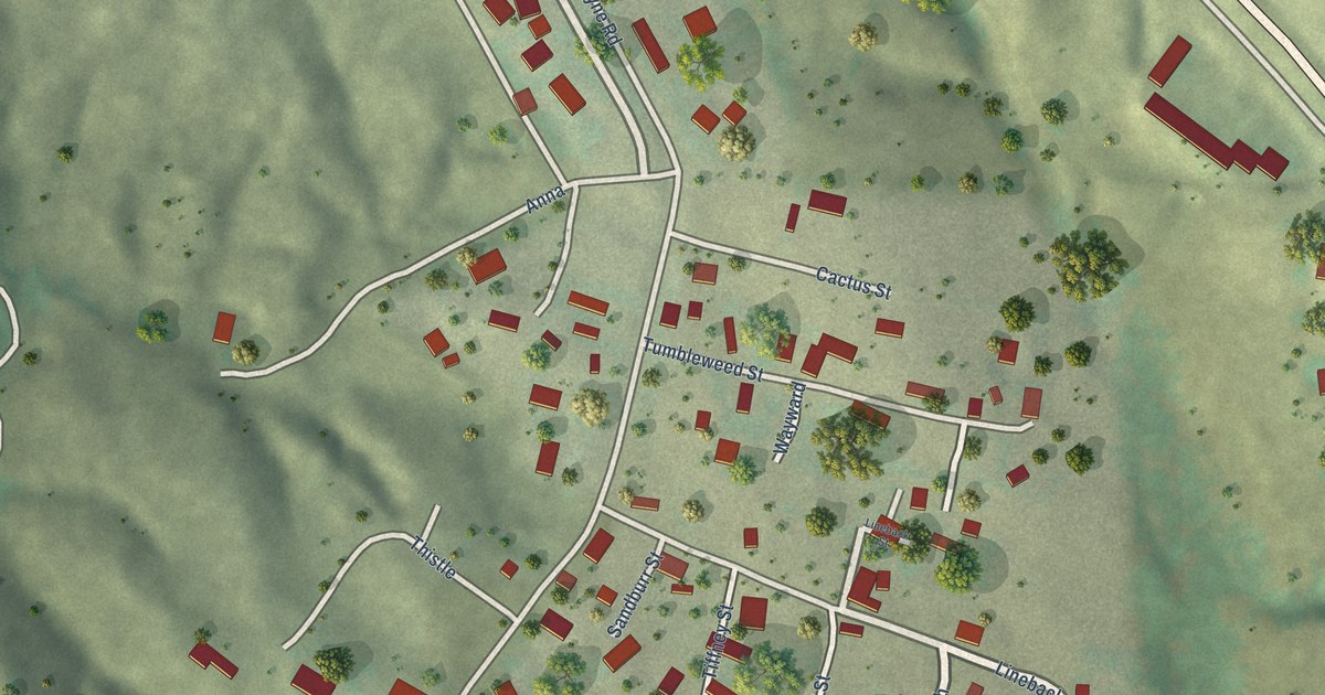
A detailed map of Lemoyne, Nebraska, showing every building in its true location, the roads by name, and shaded topographical relief.
Read More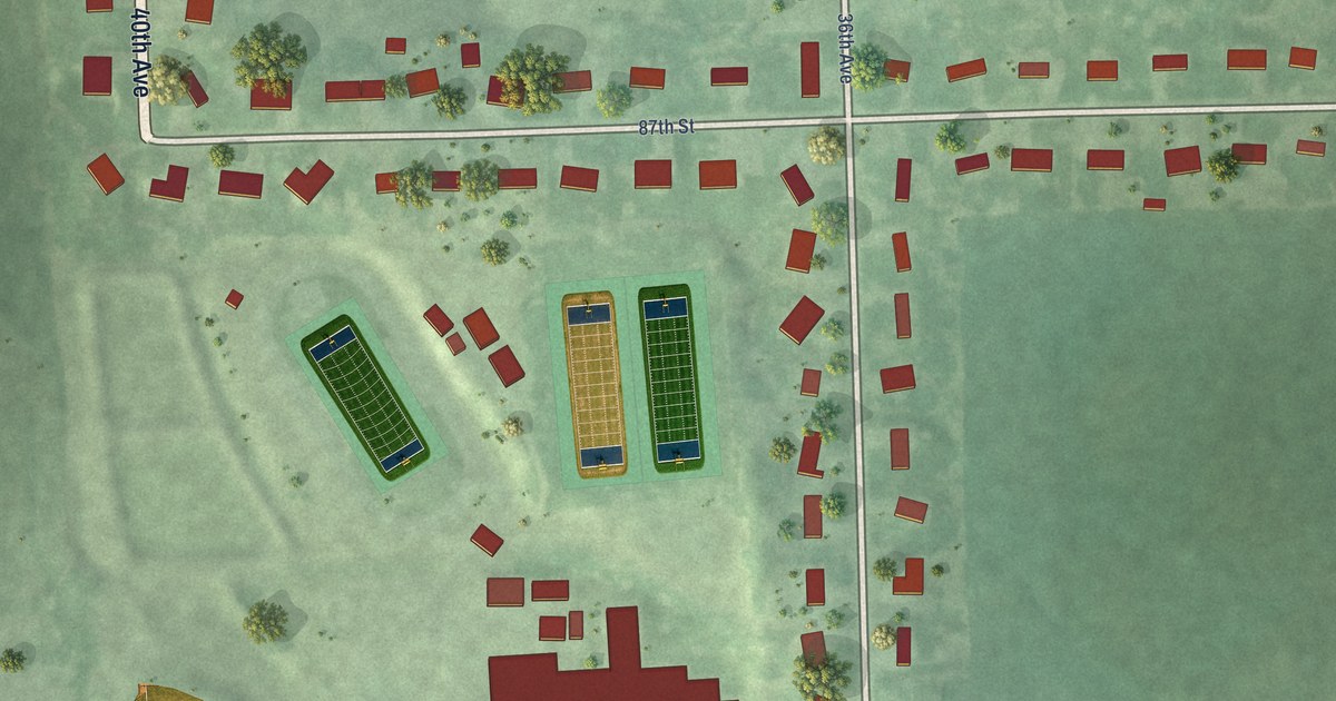
A detailed map of Lakeview, Nebraska, showing every building in its true location, the roads by name, and shaded topographical relief.
Read More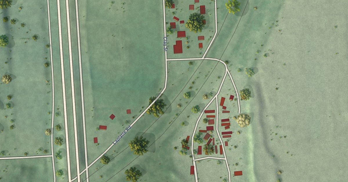
A detailed map of La Platte, Nebraska, showing every building in its true location, the roads by name, and shaded topographical relief.
Read More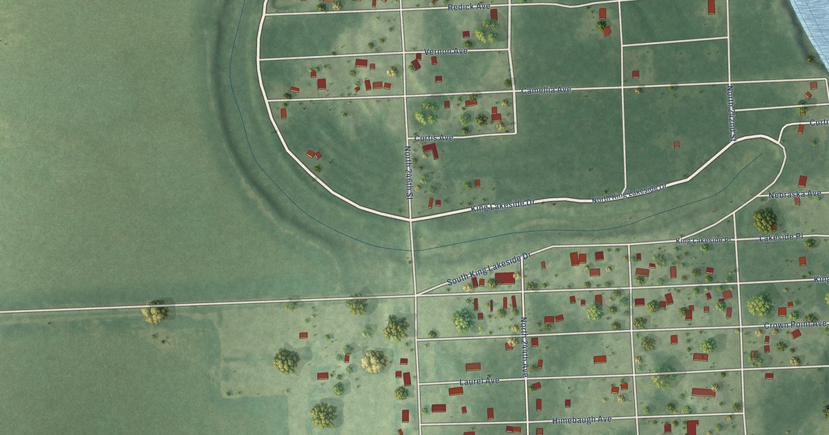
A detailed map of King Lake, Nebraska, showing every building in its true location, the roads by name, and shaded topographical relief.
Read More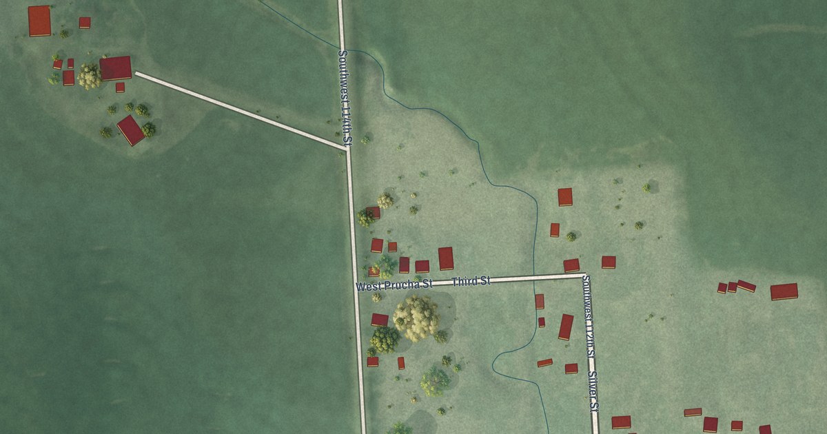
A detailed map of Kramer, Nebraska, showing every building in its true location, the roads by name, and shaded topographical relief.
Read More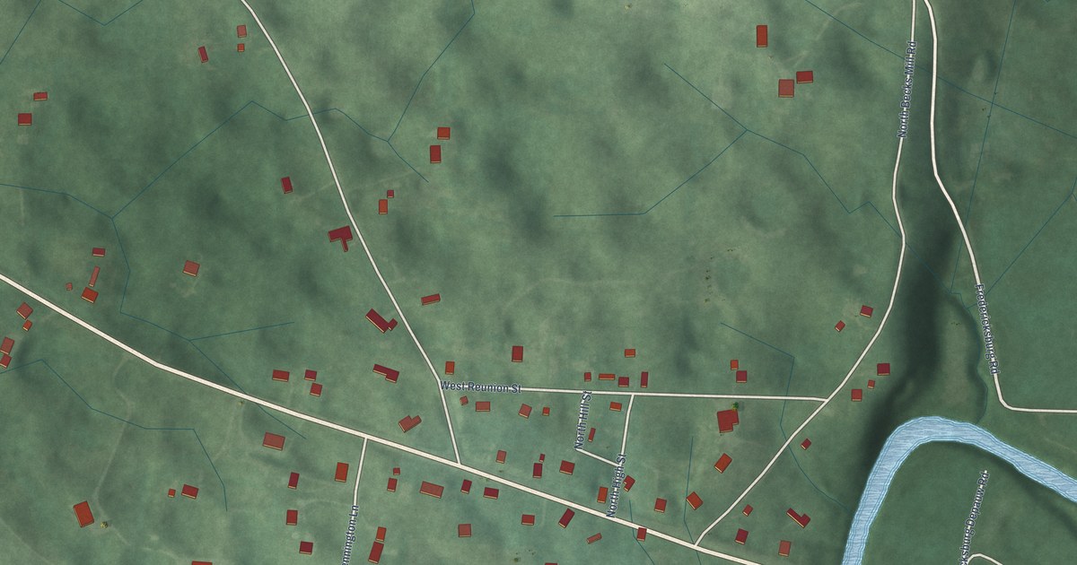
A detailed map of Fredericksburg, Indiana, showing every building in its true location, the roads by name, and shaded topographical relief.
Read More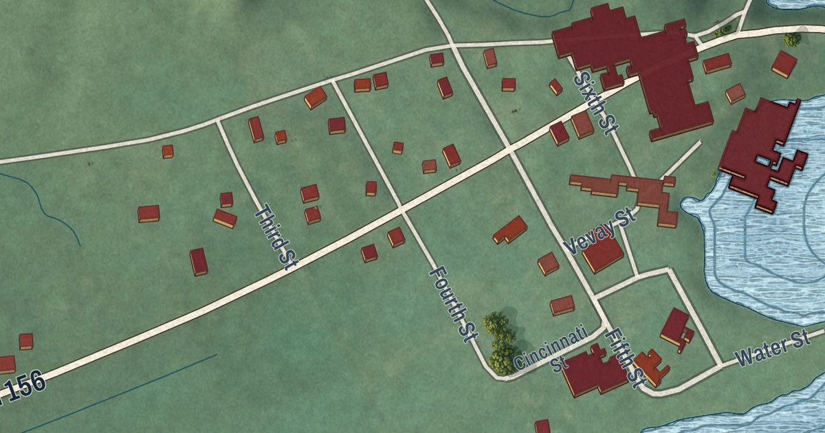
A detailed map of Florence, Indiana, showing every building in its true location, the roads by name, and shaded topographical relief.
Read More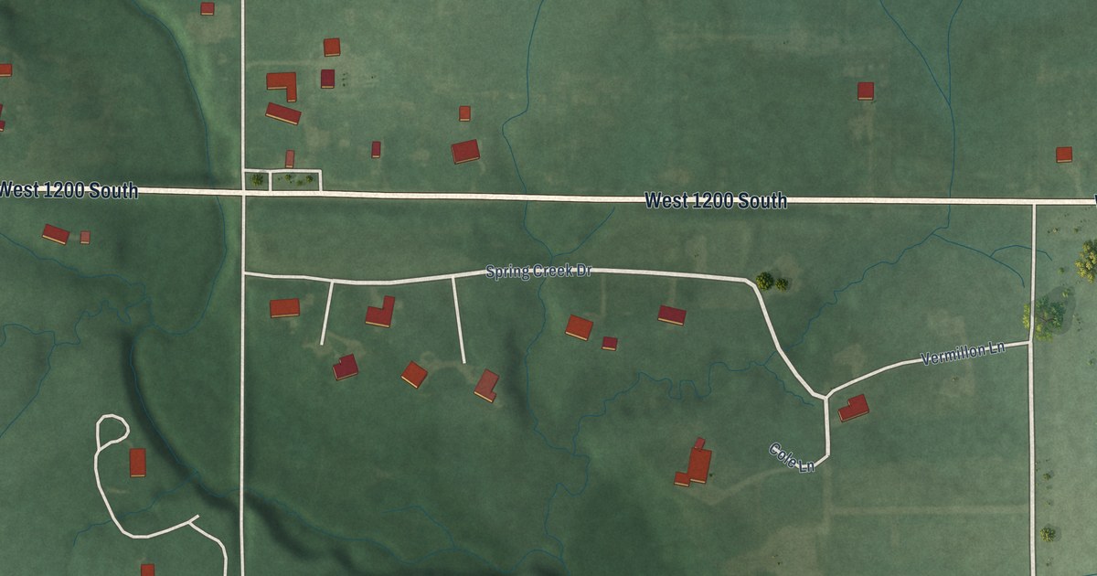
A detailed map of Foster, Indiana, showing every building in its true location, the roads by name, and shaded topographical relief.
Read More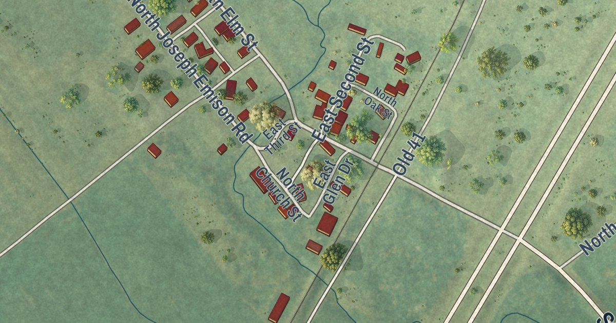
A detailed map of Emison, Indiana, showing every building in its true location, the roads by name, and shaded topographical relief.
Read More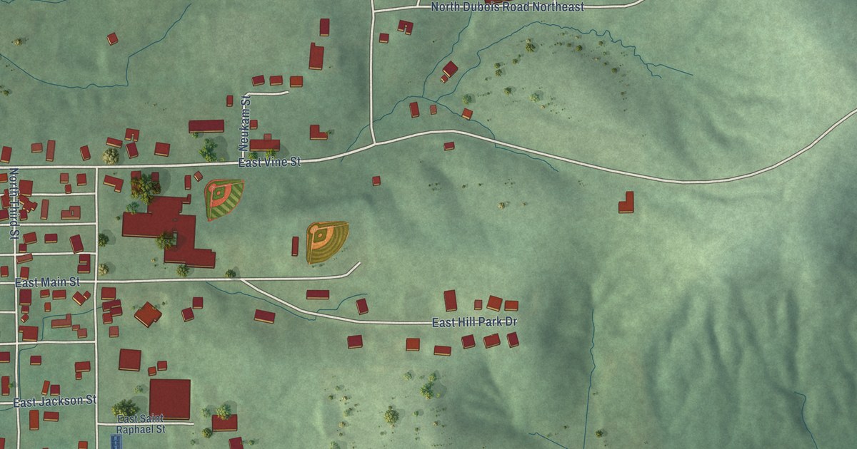
A detailed map of Dubois, Indiana, showing every building in its true location, the roads by name, and shaded topographical relief.
Read More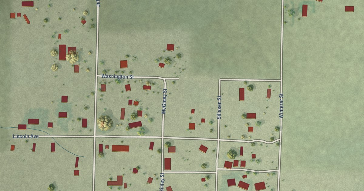
A detailed map of Keystone, Nebraska, showing every building in its true location, the roads by name, and shaded topographical relief.
Read More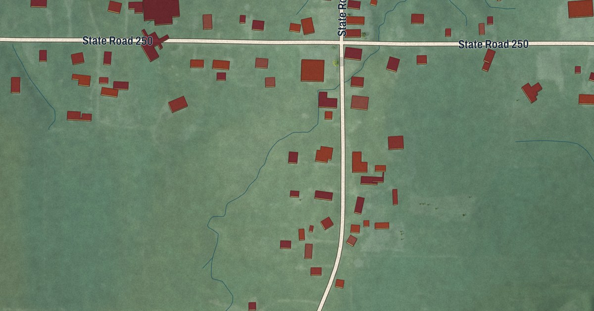
A detailed map of East Enterprise, Indiana, showing every building in its true location, the roads by name, and shaded topographical relief.
Read More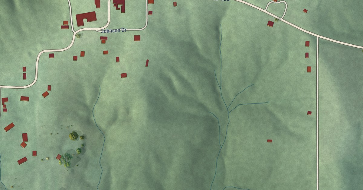
A detailed map of Dover Hill, Indiana, showing every building in its true location, the roads by name, and shaded topographical relief.
Read More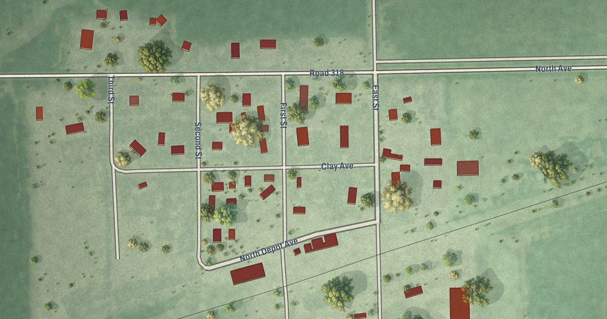
A detailed map of Inland, Nebraska, showing every building in its true location, the roads by name, and shaded topographical relief.
Read More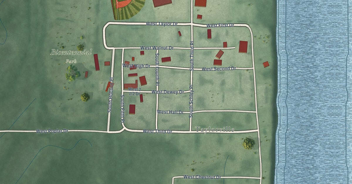
A detailed map of Dresser, Indiana, showing every building in its true location, the roads by name, and shaded topographical relief.
Read More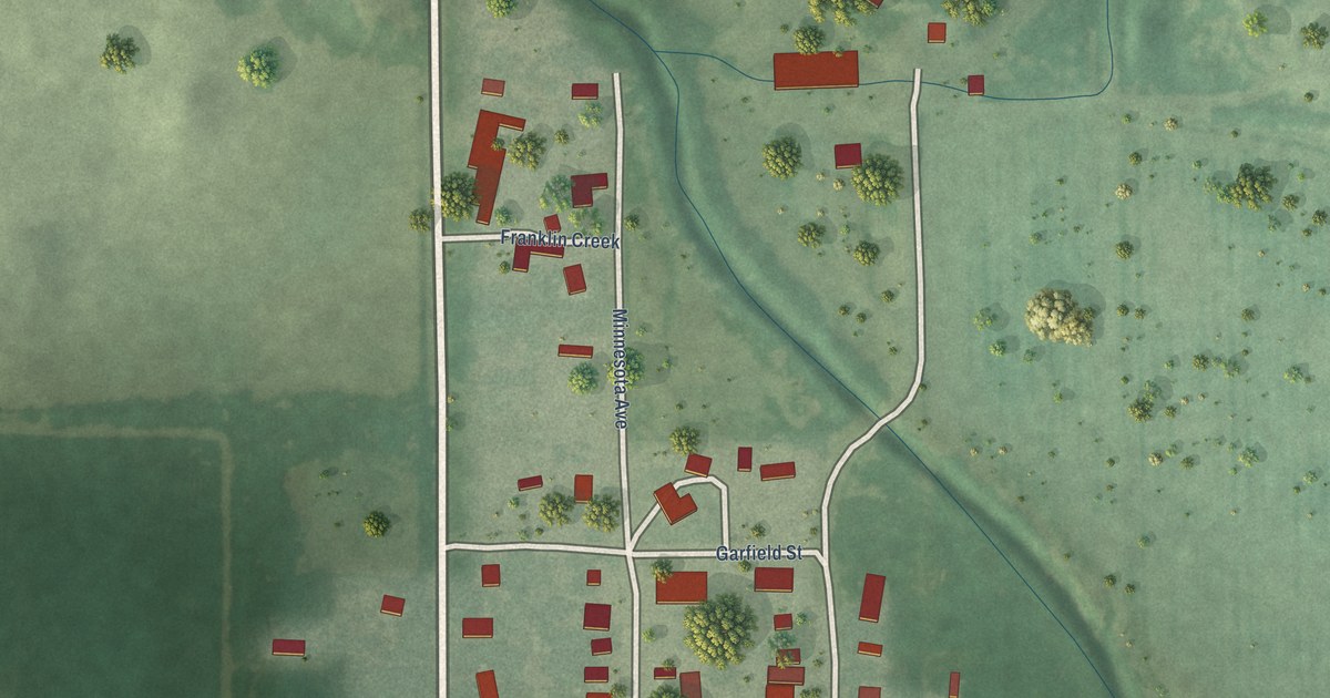
A detailed map of Inavale, Nebraska, showing every building in its true location, the roads by name, and shaded topographical relief.
Read More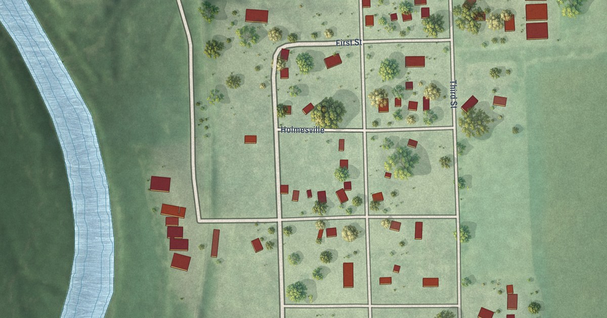
A detailed map of Holmesville, Nebraska, showing every building in its true location, the roads by name, and shaded topographical relief.
Read More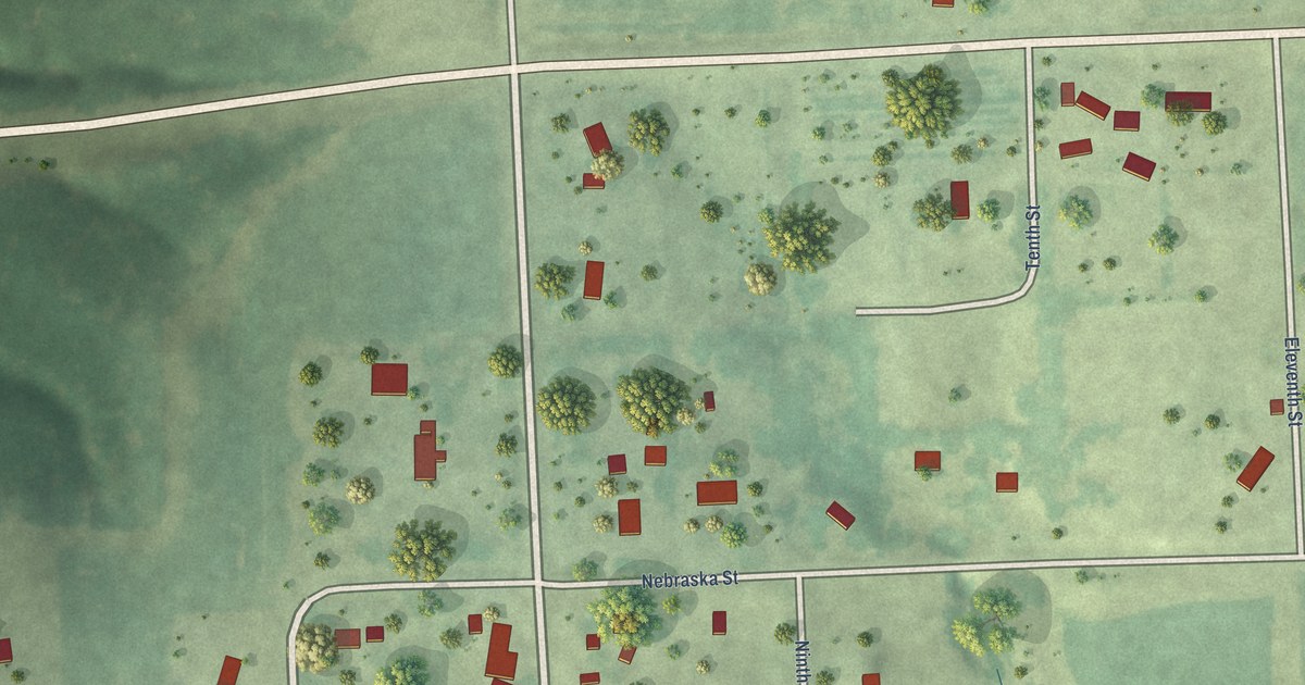
A detailed map of Fontanelle, Nebraska, showing every building in its true location, the roads by name, and shaded topographical relief.
Read More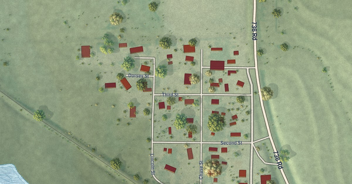
A detailed map of Enders, Nebraska, showing every building in its true location, the roads by name, and shaded topographical relief.
Read More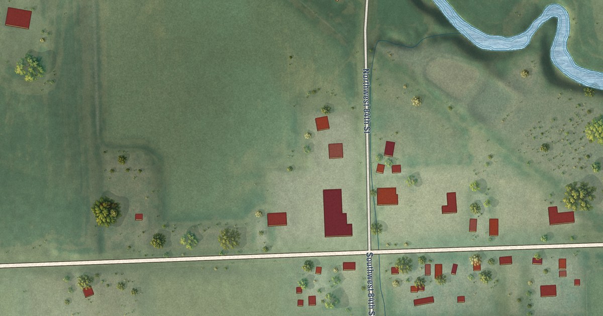
A detailed map of Emerald, Nebraska, showing every building in its true location, the roads by name, and shaded topographical relief.
Read More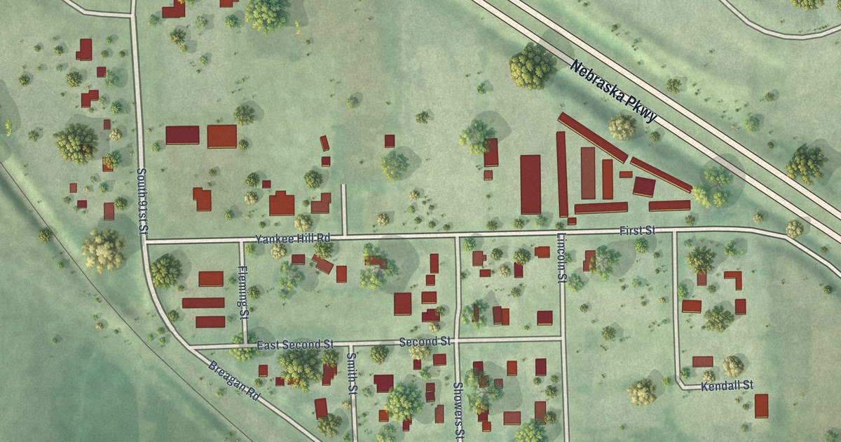
A detailed map of Cheney, Nebraska, showing every building in its true location, the roads by name, and shaded topographical relief.
Read More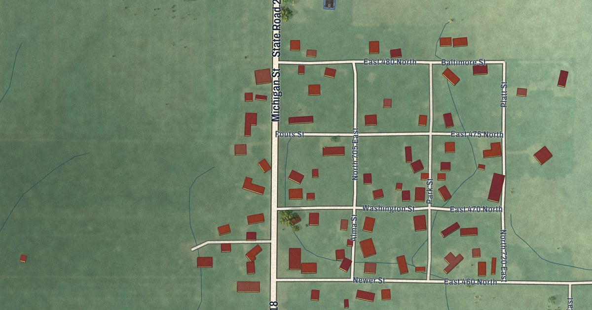
A detailed map of Deer Creek, Indiana, showing every building in its true location, the roads by name, and shaded topographical relief.
Read More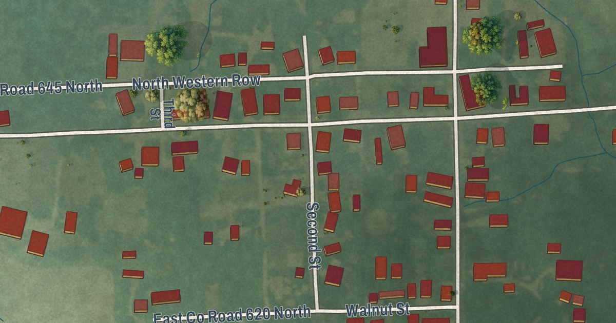
A detailed map of Clarksburg, Indiana, showing every building in its true location, the roads by name, and shaded topographical relief.
Read More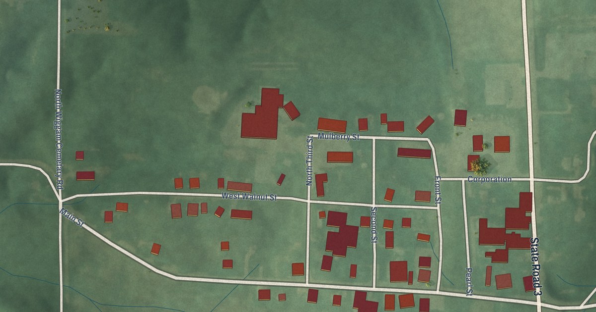
A detailed map of Deputy, Indiana, showing every building in its true location, the roads by name, and shaded topographical relief.
Read More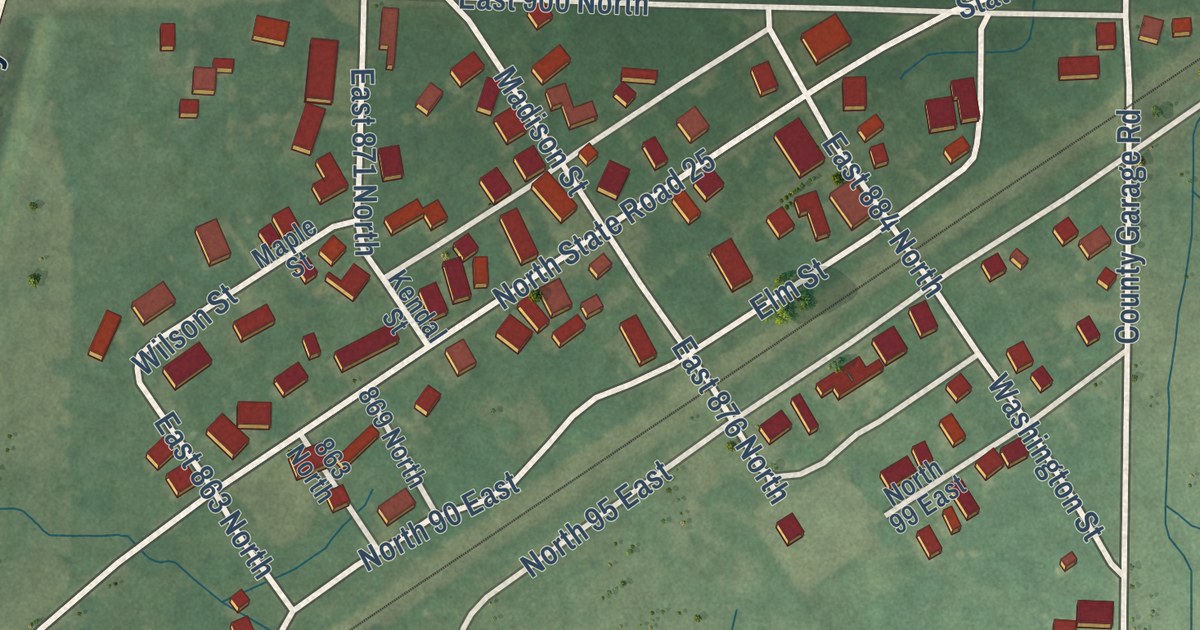
A detailed map of Burrows, Indiana, showing every building in its true location, the roads by name, and shaded topographical relief.
Read More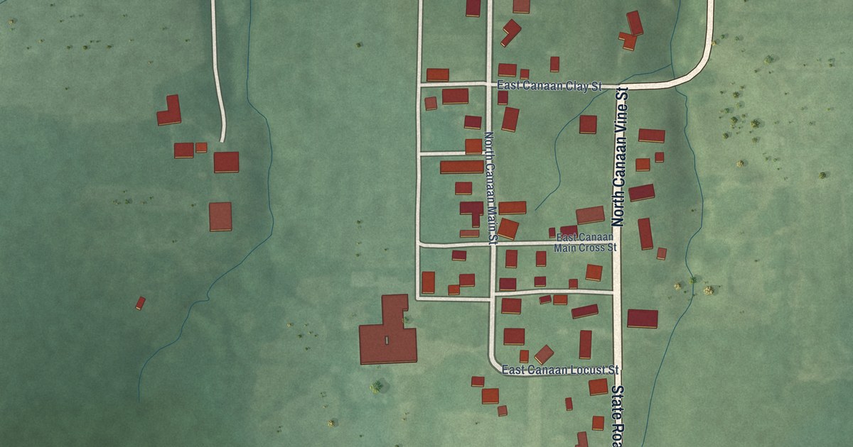
A detailed map of Canaan, Indiana, showing every building in its true location, the roads by name, and shaded topographical relief.
Read More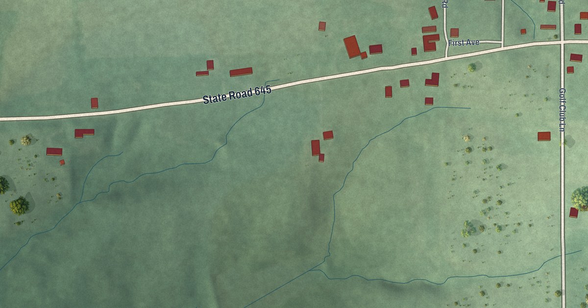
A detailed map of Burns City, Indiana, showing every building in its true location, the roads by name, and shaded topographical relief.
Read More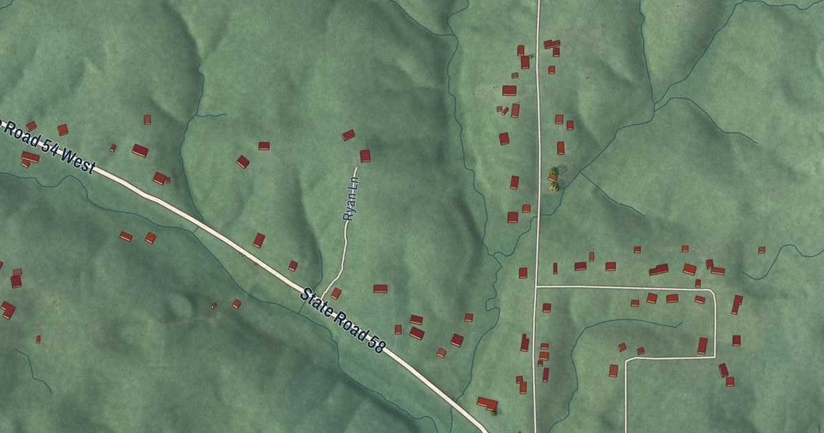
A detailed map of Avoca, Indiana, showing every building in its true location, the roads by name, and shaded topographical relief.
Read More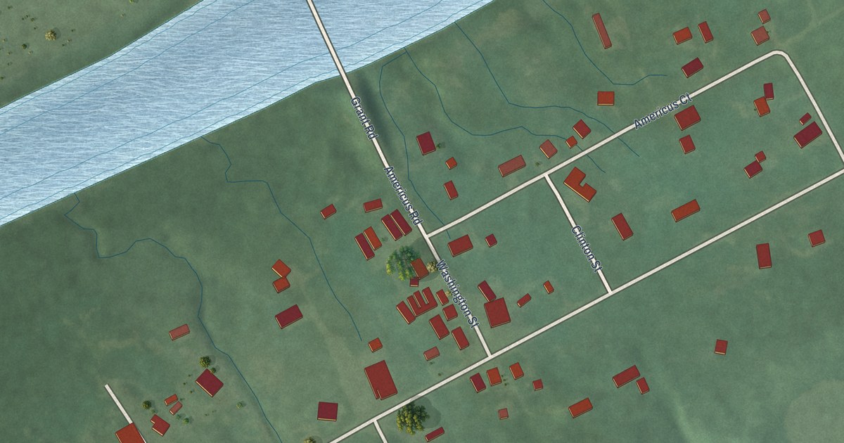
A detailed map of Americus, Indiana, showing every building in its true location, the roads by name, and shaded topographical relief.
Read More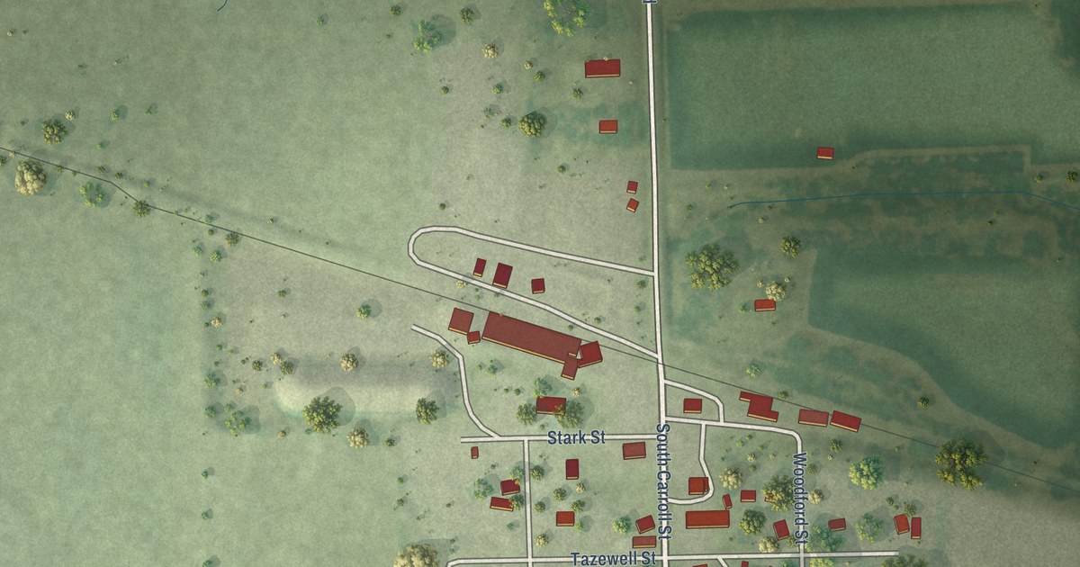
A detailed map of Archer, Nebraska, showing every building in its true location, the roads by name, and shaded topographical relief.
Read More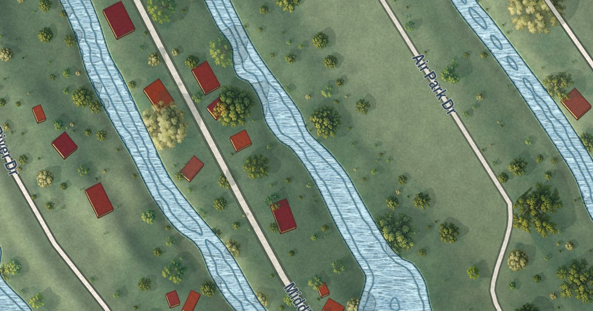
A detailed map of Beacon View, Nebraska, showing every building in its true location, the roads by name, and shaded topographical relief.
Read More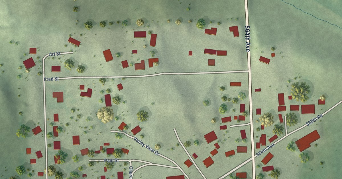
A detailed map of Bow Valley, Nebraska, showing every building in its true location, the roads by name, and shaded topographical relief.
Read More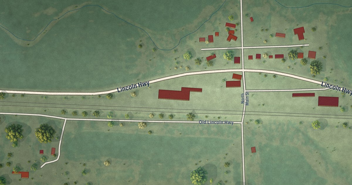
A detailed map of Ames, Nebraska, showing every building in its true location, the roads by name, and shaded topographical relief.
Read More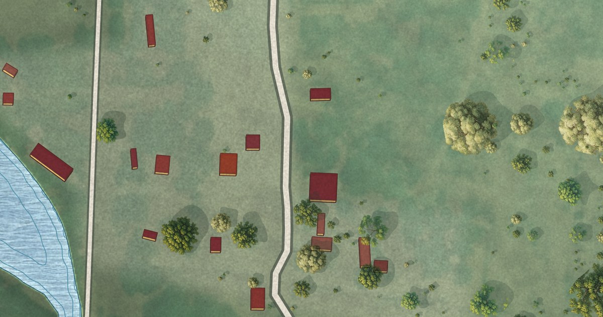
A detailed map of Brownlee, Nebraska, showing every building in its true location, the roads by name, and shaded topographical relief.
Read More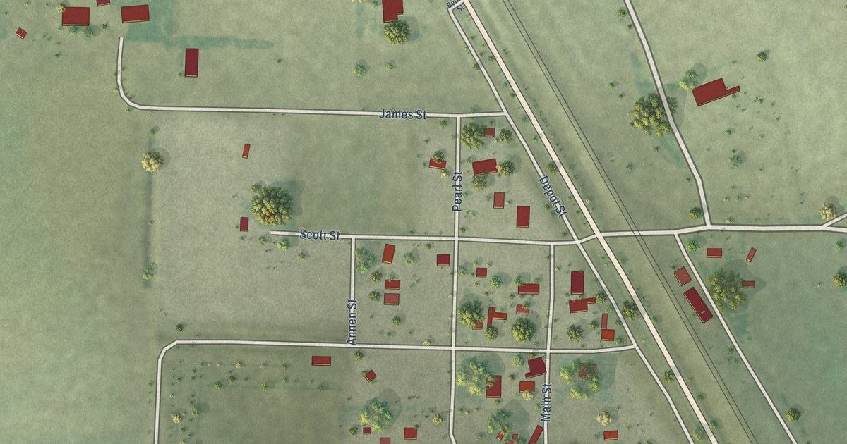
A detailed map of Berea, Nebraska, showing every building in its true location, the roads by name, and shaded topographical relief.
Read More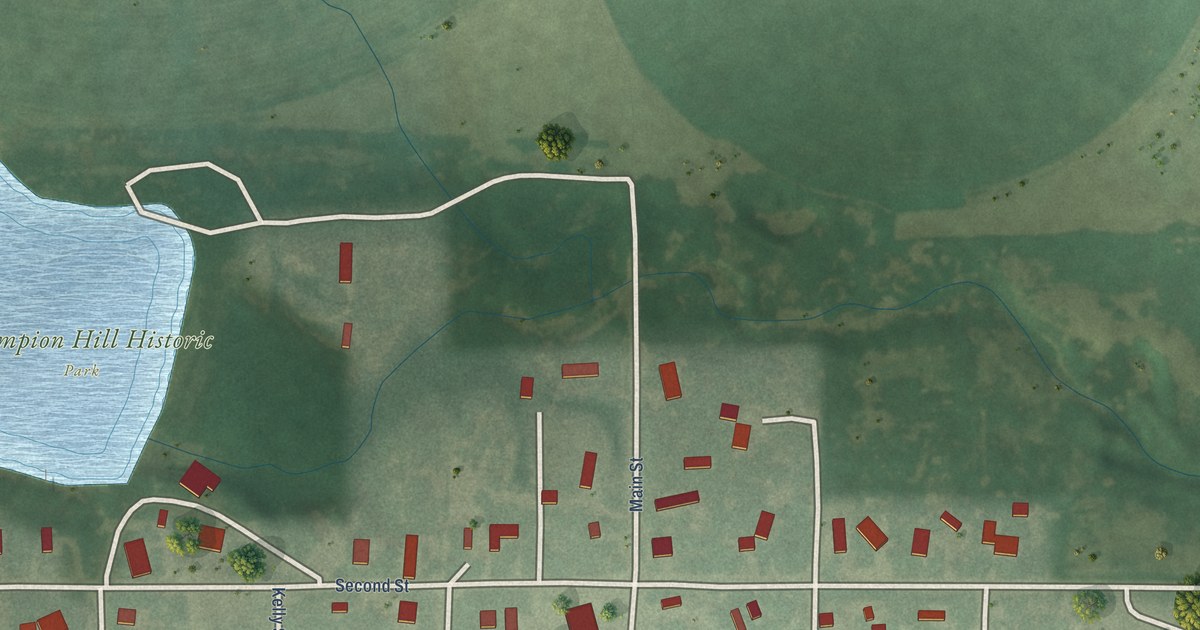
A detailed map of Champion, Nebraska, showing every building in its true location, the roads by name, and shaded topographical relief.
Read More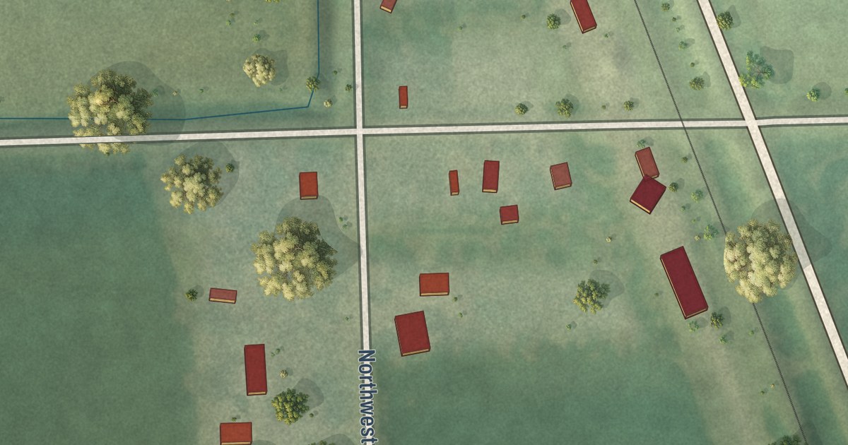
A detailed map of Agnew, Nebraska, showing every building in its true location, the roads by name, and shaded topographical relief.
Read More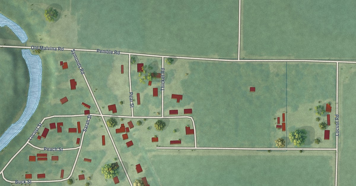
A detailed map of Symonds, Mississippi, showing every building in its true location, the roads by name, and shaded topographical relief.
Read More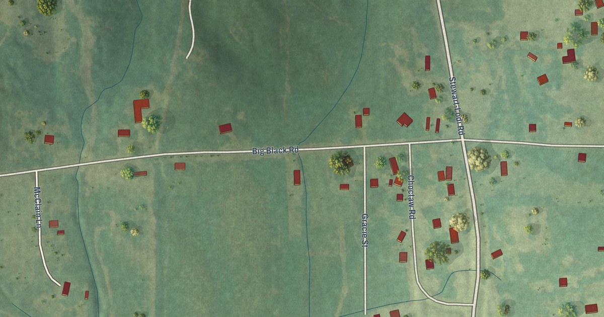
A detailed map of Stewart, Mississippi, showing every building in its true location, the roads by name, and shaded topographical relief.
Read More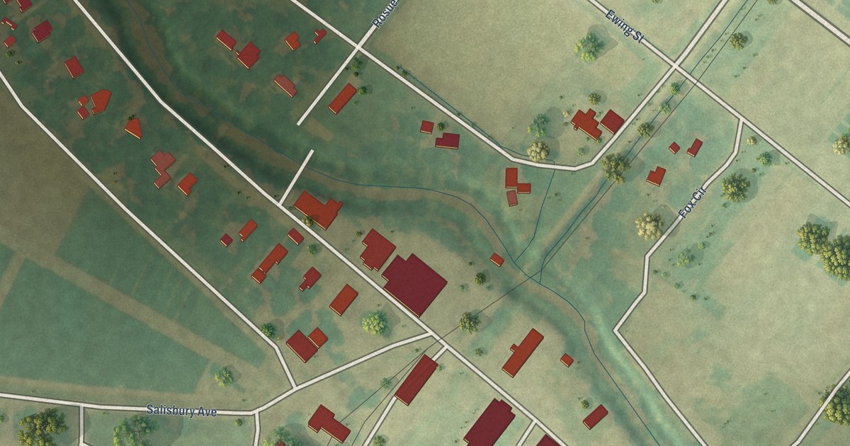
A detailed map of Scott, Mississippi, showing every building in its true location, the roads by name, and shaded topographical relief.
Read More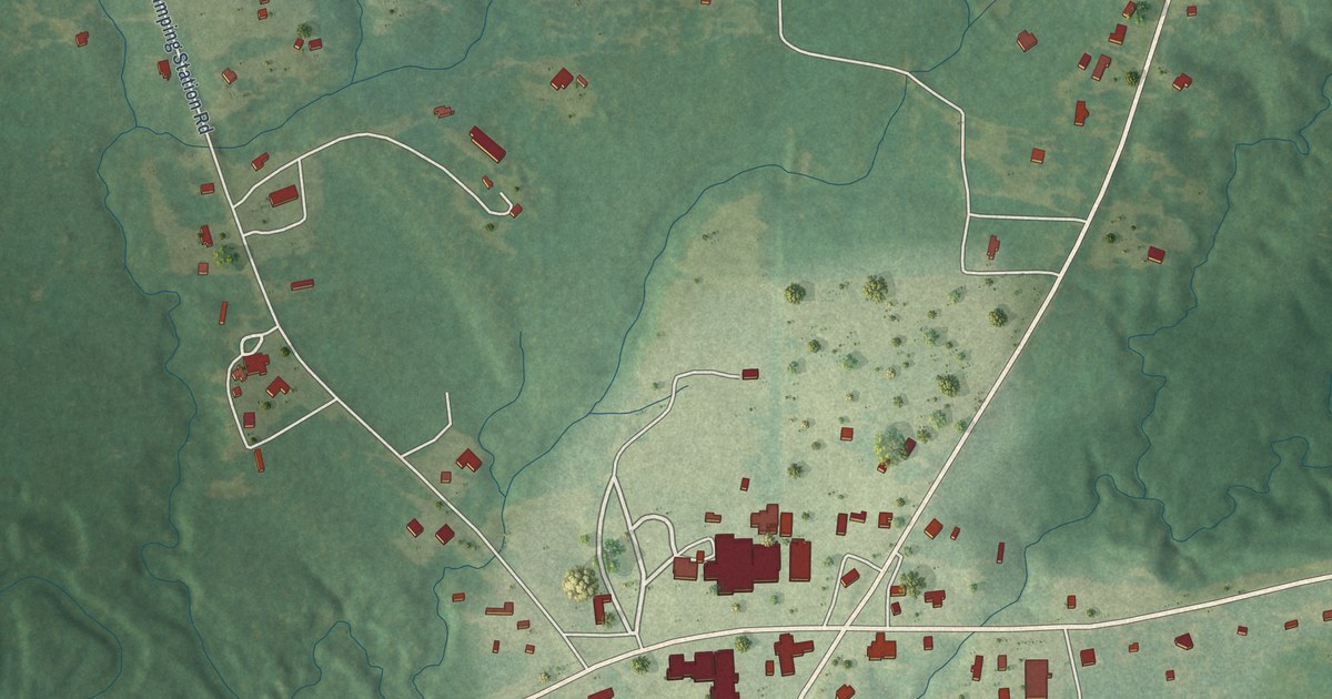
A detailed map of Runnelstown, Mississippi, showing every building in its true location, the roads by name, and shaded topographical relief.
Read More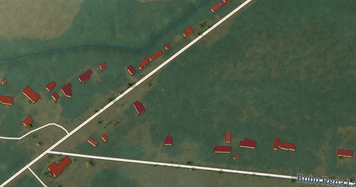
A detailed map of Rena Lara, Mississippi, showing every building in its true location, the roads by name, and shaded topographical relief.
Read More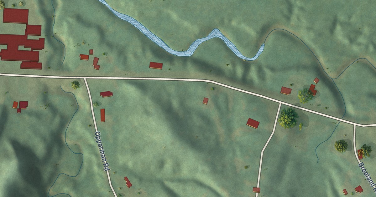
A detailed map of Redwood, Mississippi, showing every building in its true location, the roads by name, and shaded topographical relief.
Read More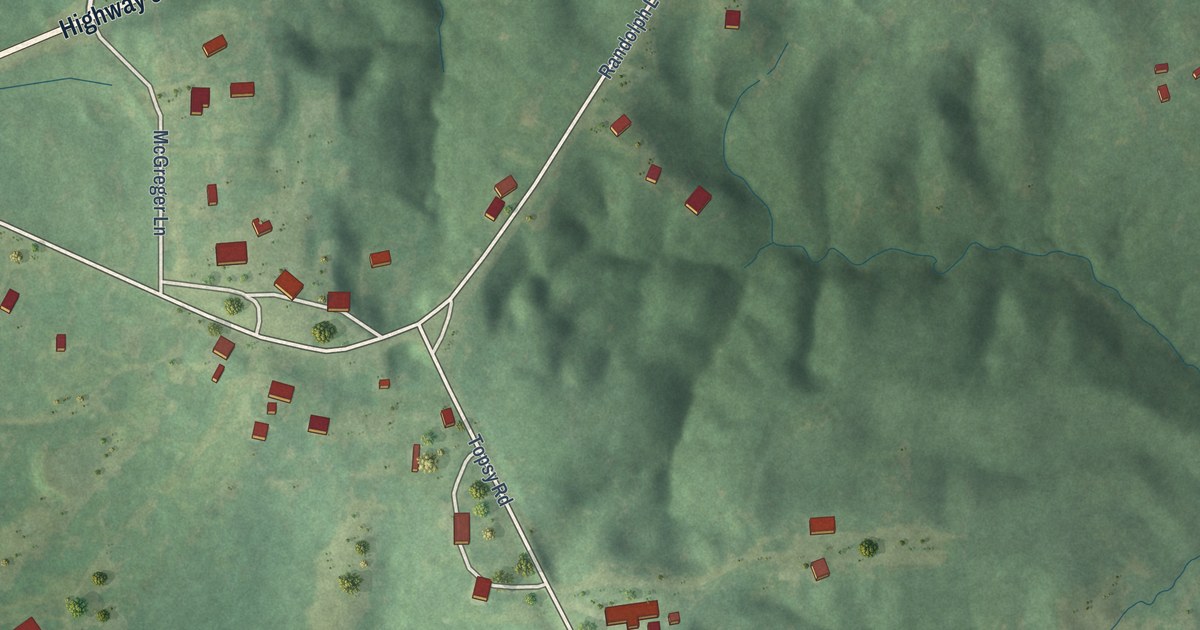
A detailed map of Randolph, Mississippi, showing every building in its true location, the roads by name, and shaded topographical relief.
Read More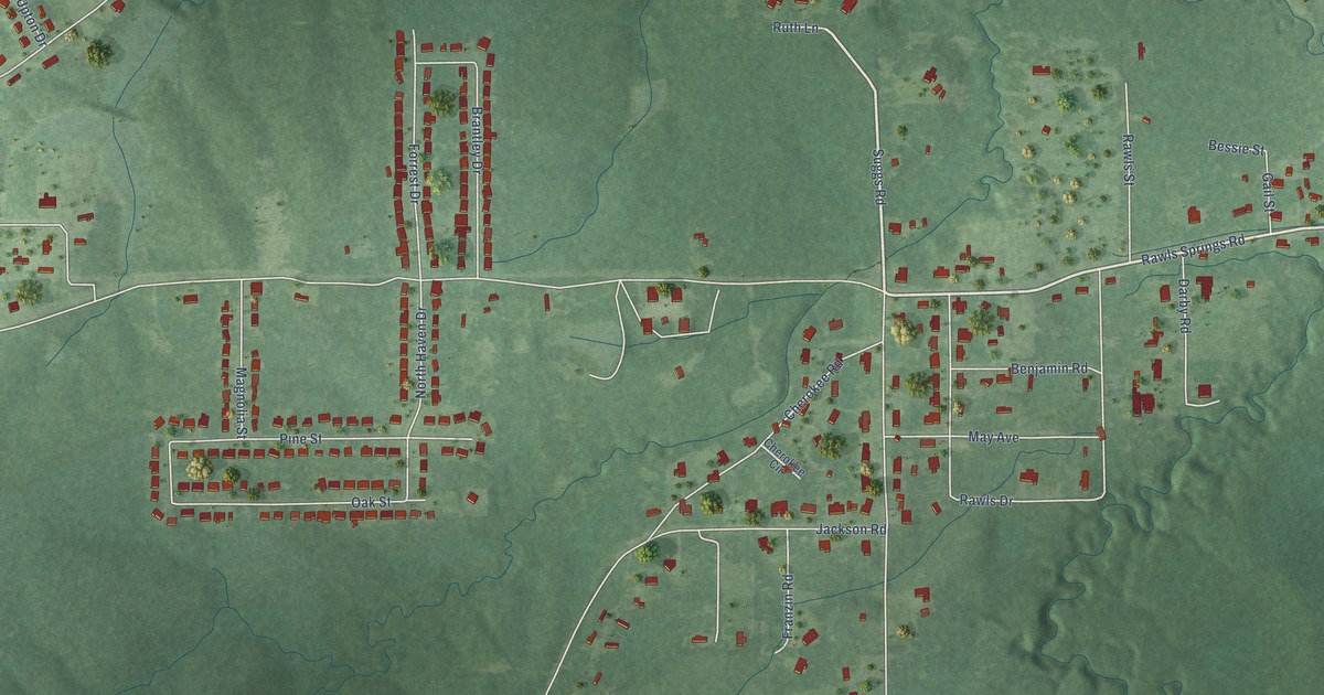
A detailed map of Rawls Springs, Mississippi, showing every building in its true location, the roads by name, and shaded topographical relief.
Read More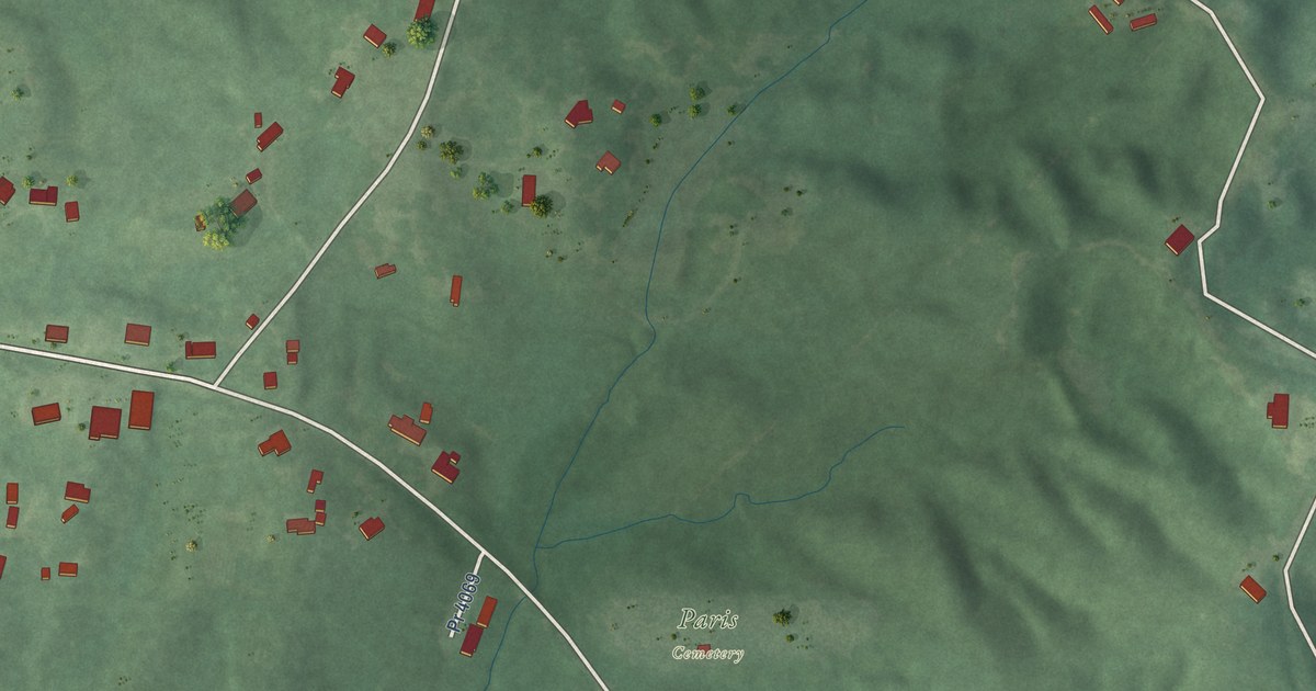
A detailed map of Paris, Mississippi, showing every building in its true location, the roads by name, and shaded topographical relief.
Read More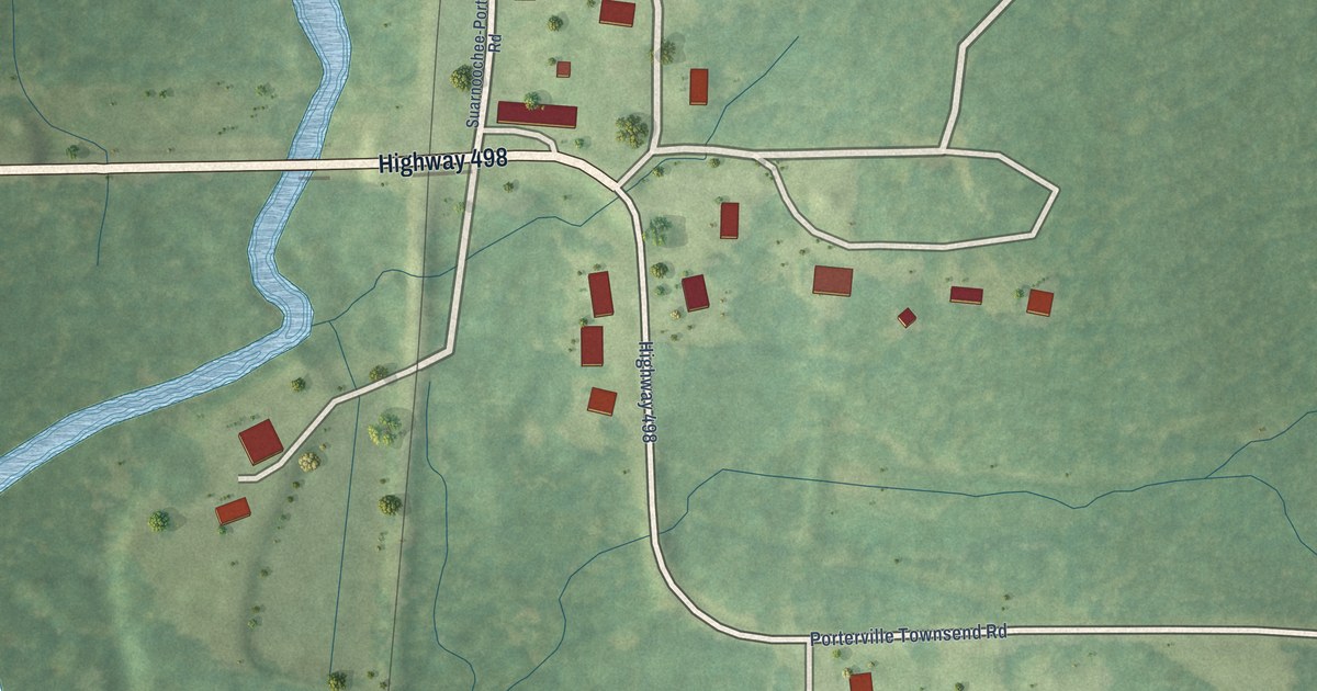
A detailed map of Porterville, Mississippi, showing every building in its true location, the roads by name, and shaded topographical relief.
Read More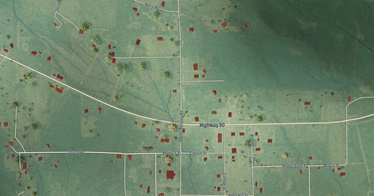
A detailed map of Pheba, Mississippi, showing every building in its true location, the roads by name, and shaded topographical relief.
Read More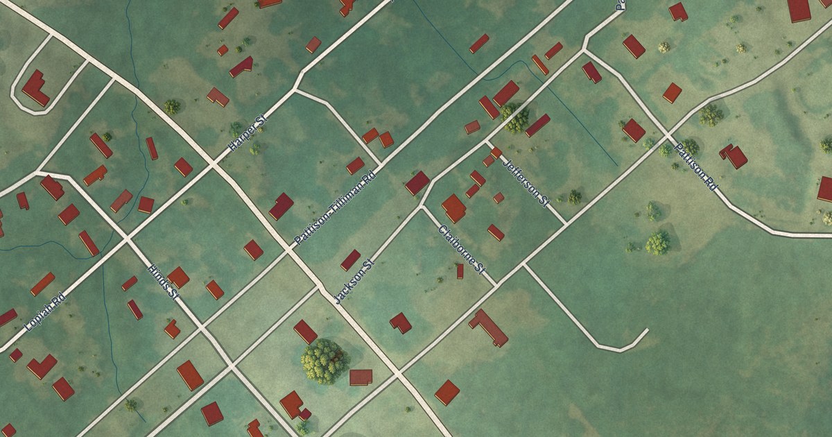
A detailed map of Pattison, Mississippi, showing every building in its true location, the roads by name, and shaded topographical relief.
Read More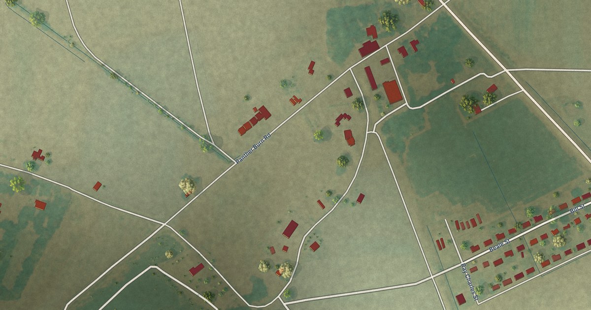
A detailed map of Panther Burn, Mississippi, showing every building in its true location, the roads by name, and shaded topographical relief.
Read More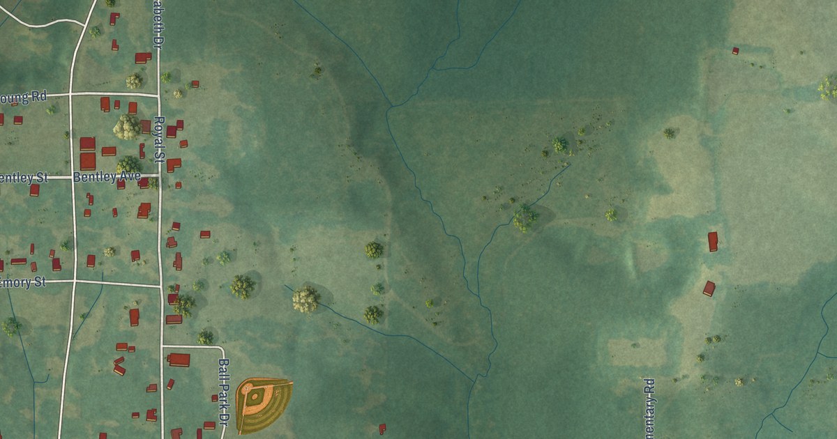
A detailed map of Ovett, Mississippi, showing every building in its true location, the roads by name, and shaded topographical relief.
Read More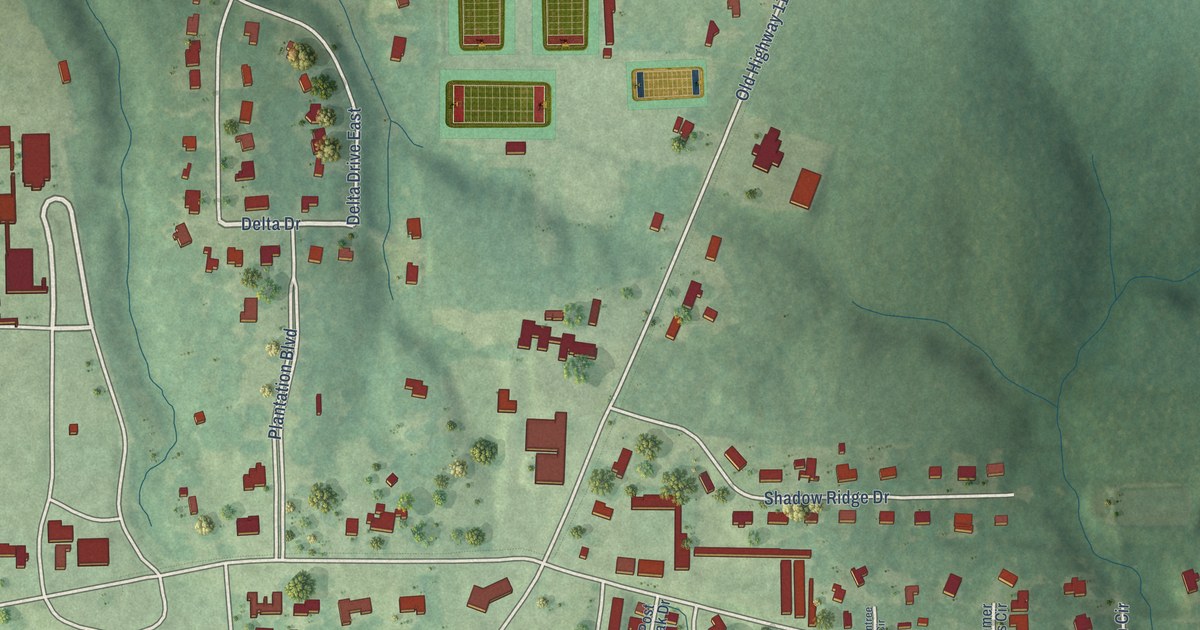
A detailed map of Oak Grove, Mississippi, showing every building in its true location, the roads by name, and shaded topographical relief.
Read More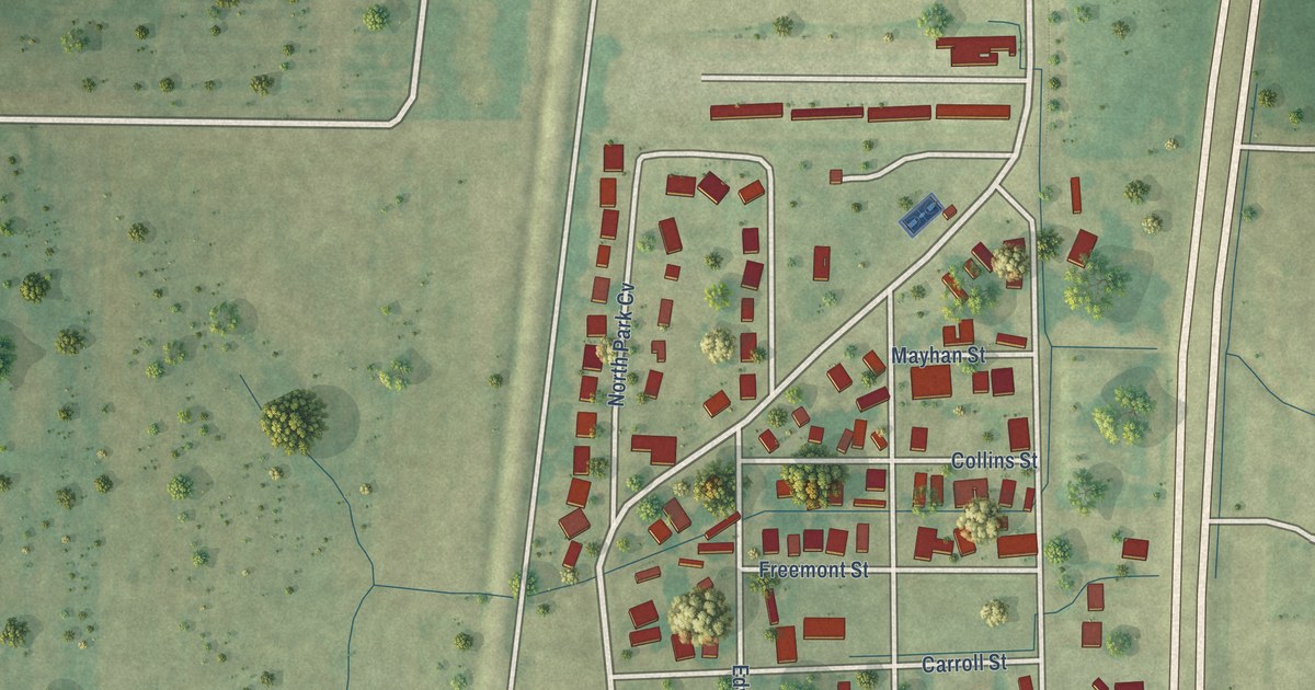
A detailed map of North Tunica, Mississippi, showing every building in its true location, the roads by name, and shaded topographical relief.
Read More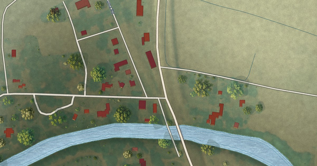
A detailed map of Nitta Yuma, Mississippi, showing every building in its true location, the roads by name, and shaded topographical relief.
Read More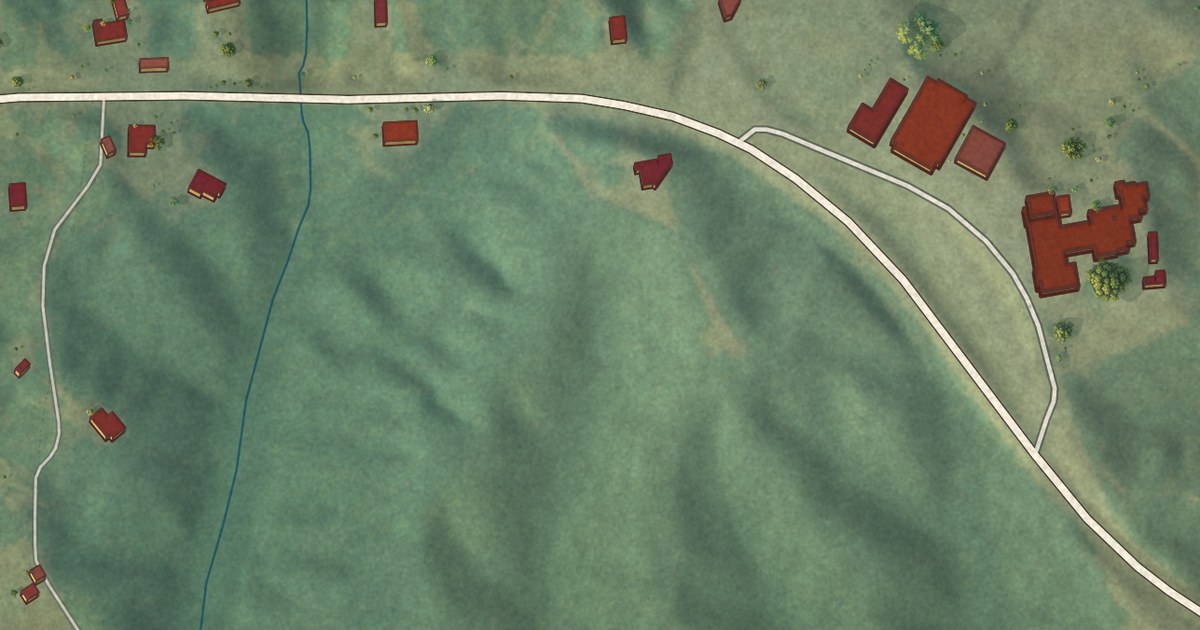
A detailed map of New Site, Mississippi, showing every building in its true location, the roads by name, and shaded topographical relief.
Read More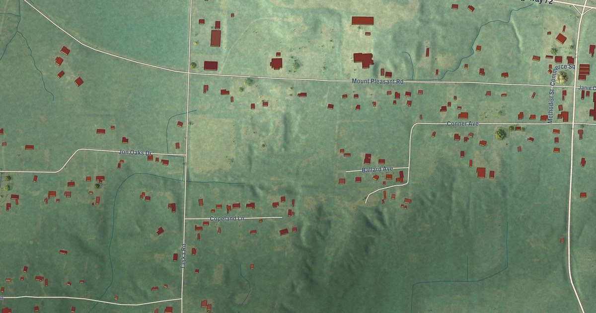
A detailed map of Mount Pleasant, Mississippi, showing every building in its true location, the roads by name, and shaded topographical relief.
Read More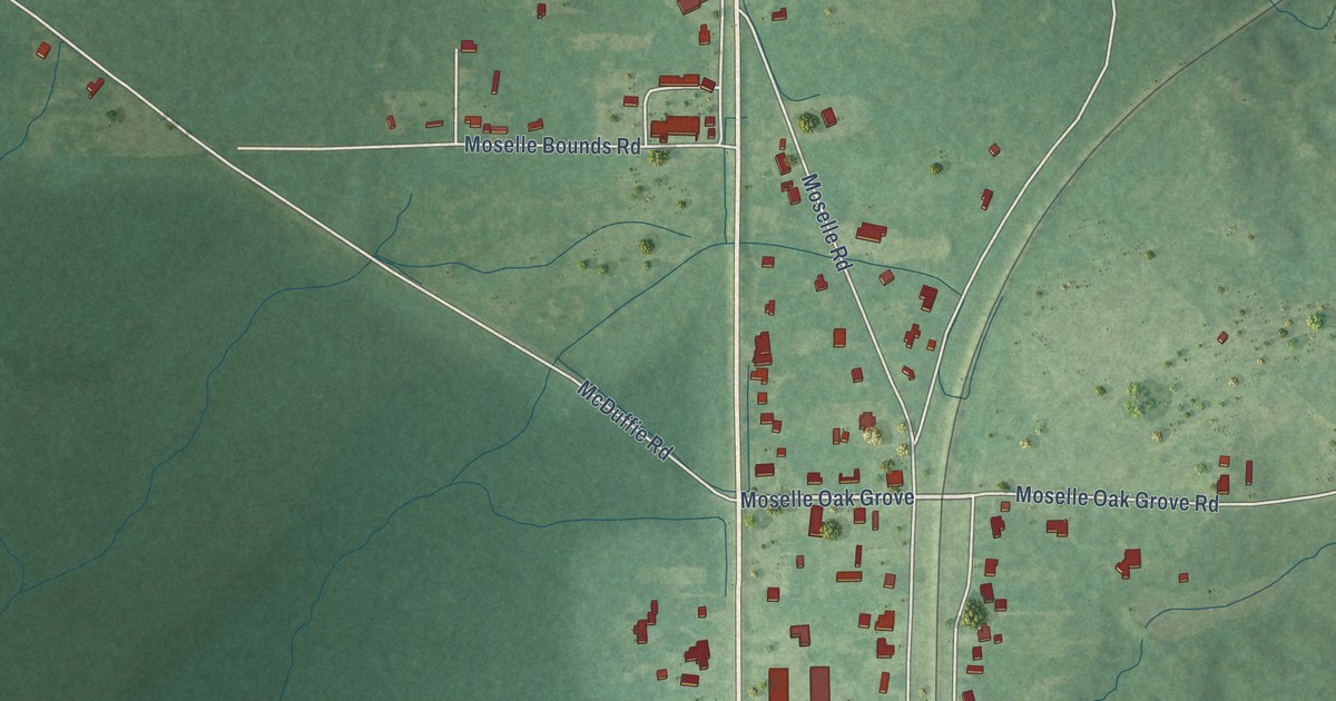
A detailed map of Moselle, Mississippi, showing every building in its true location, the roads by name, and shaded topographical relief.
Read More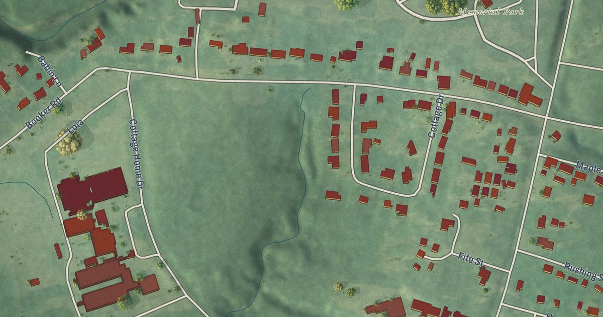
A detailed map of Morgantown, Mississippi, showing every building in its true location, the roads by name, and shaded topographical relief.
Read More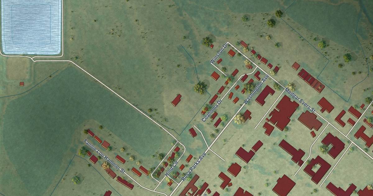
A detailed map of Mississippi Valley State University, Mississippi, showing every building in its true location, the roads by name, and shaded topographical relief.
Read More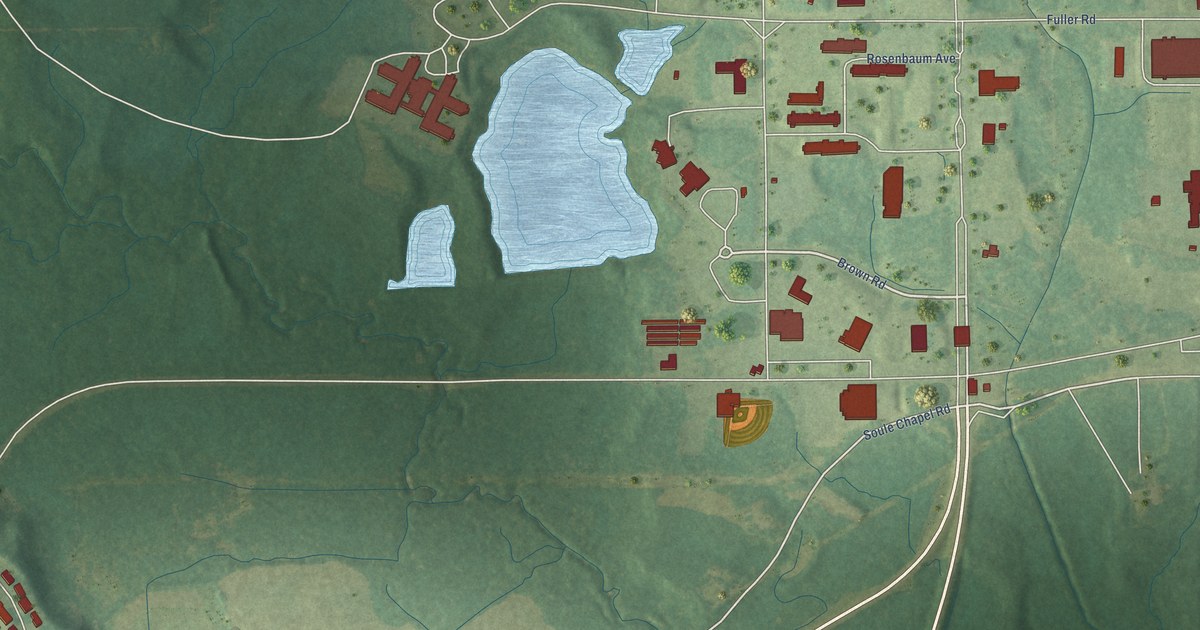
A detailed map of Meridian Station, Mississippi, showing every building in its true location, the roads by name, and shaded topographical relief.
Read More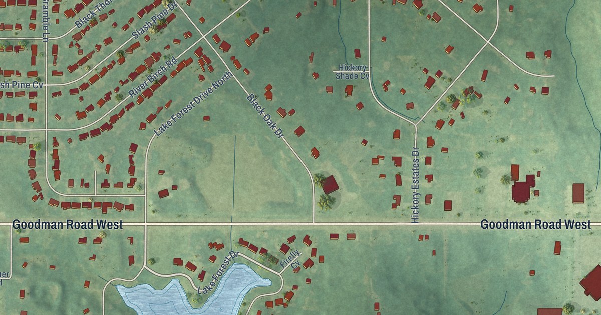
A detailed map of Lynchburg, Mississippi, showing every building in its true location, the roads by name, and shaded topographical relief.
Read More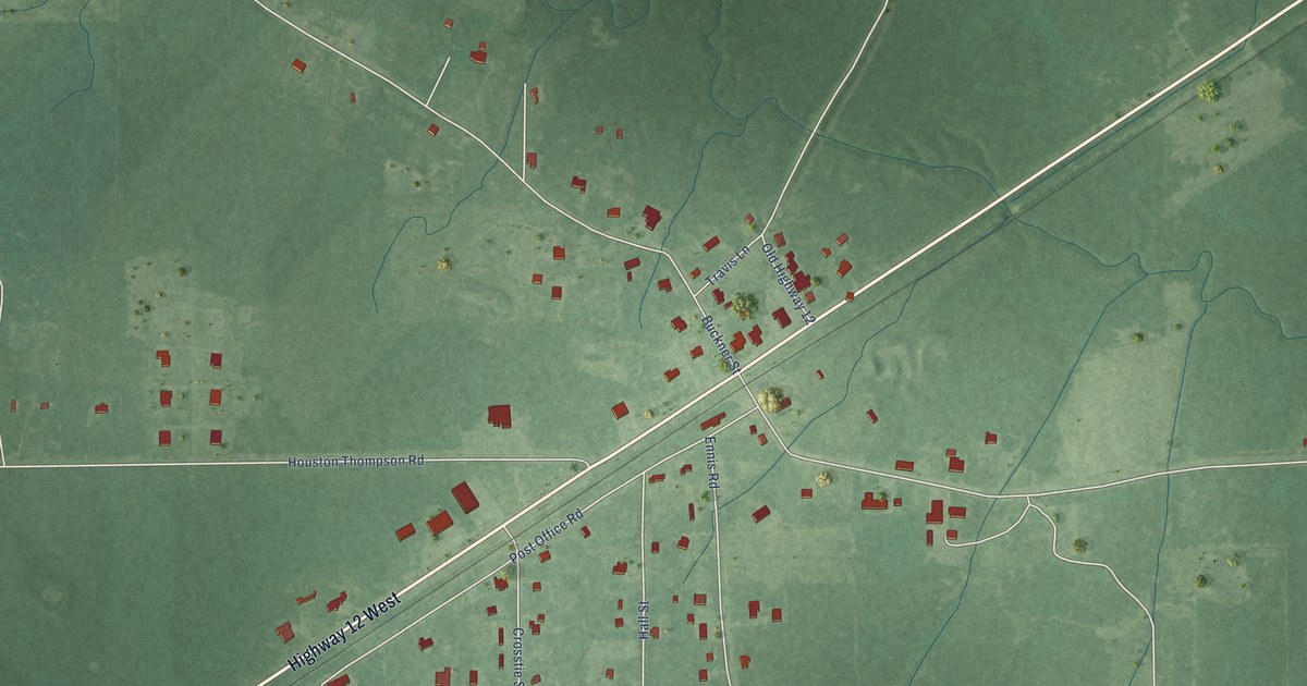
A detailed map of Longview, Mississippi, showing every building in its true location, the roads by name, and shaded topographical relief.
Read More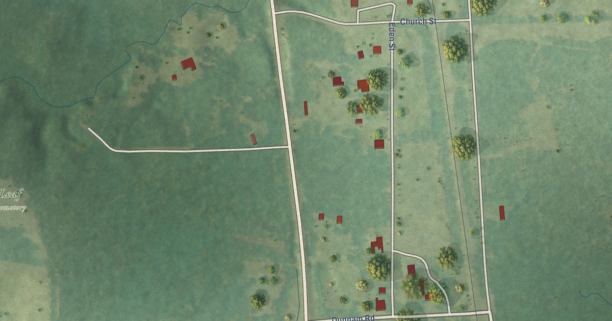
A detailed map of Leaf, Mississippi, showing every building in its true location, the roads by name, and shaded topographical relief.
Read More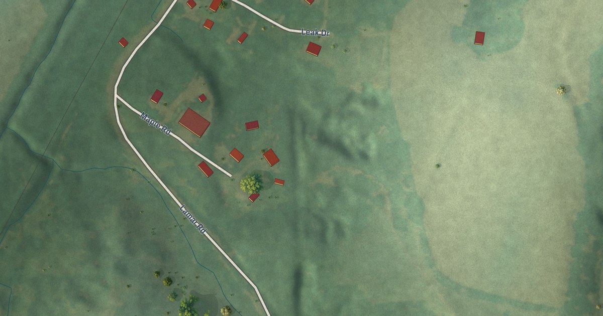
A detailed map of Lamar, Mississippi, showing every building in its true location, the roads by name, and shaded topographical relief.
Read More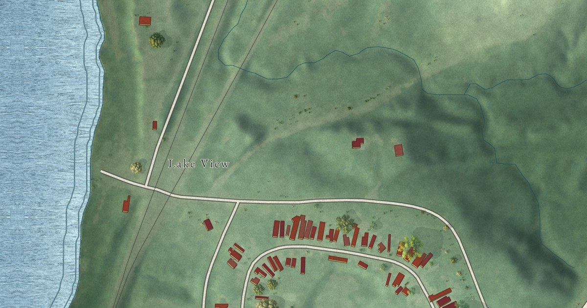
A detailed map of Lakeview, Mississippi, showing every building in its true location, the roads by name, and shaded topographical relief.
Read More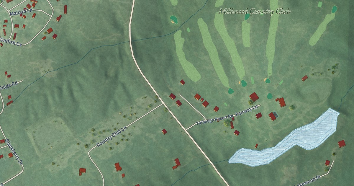
A detailed map of Yarborough Landing, Arkansas, showing every building in its true location, the roads by name, and shaded topographical relief.
Read More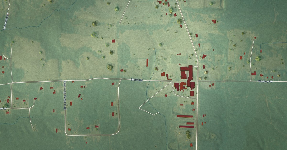
A detailed map of Woodlawn, Arkansas, showing every building in its true location, the roads by name, and shaded topographical relief.
Read More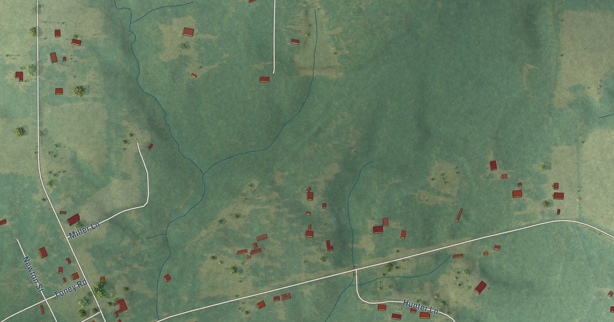
A detailed map of Kokomo, Mississippi, showing every building in its true location, the roads by name, and shaded topographical relief.
Read More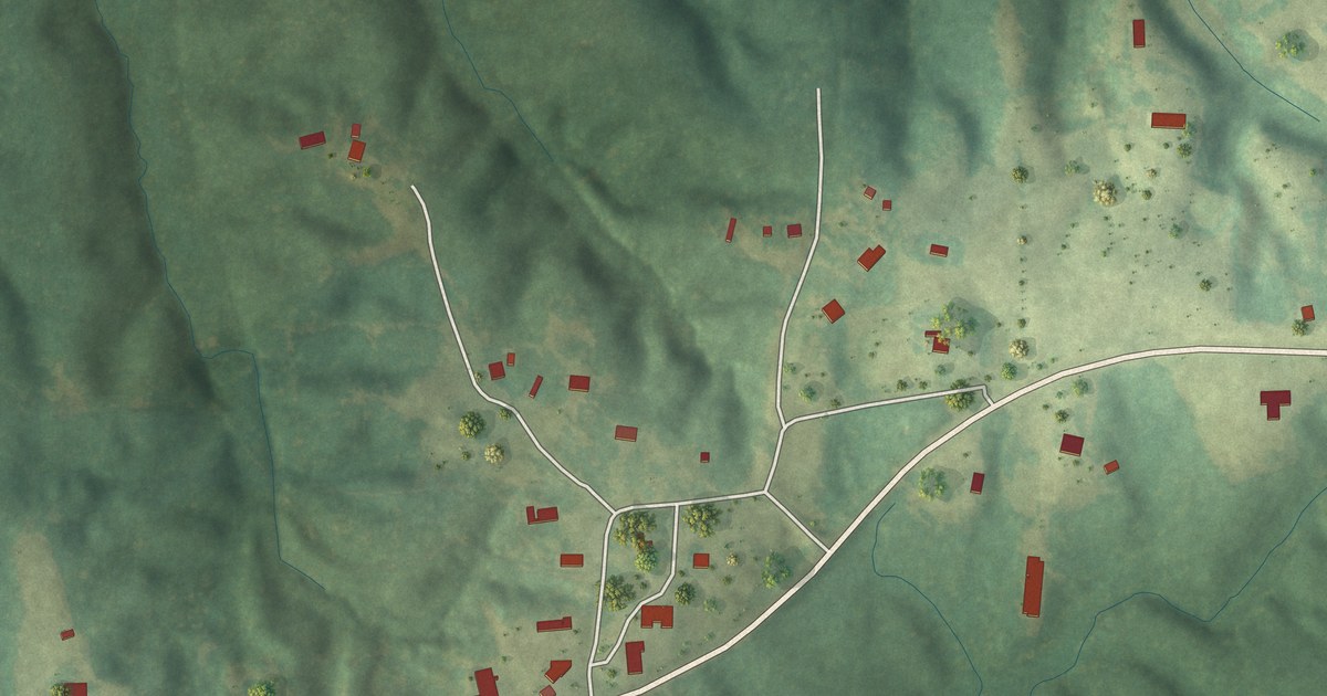
A detailed map of Jacinto, Mississippi, showing every building in its true location, the roads by name, and shaded topographical relief.
Read More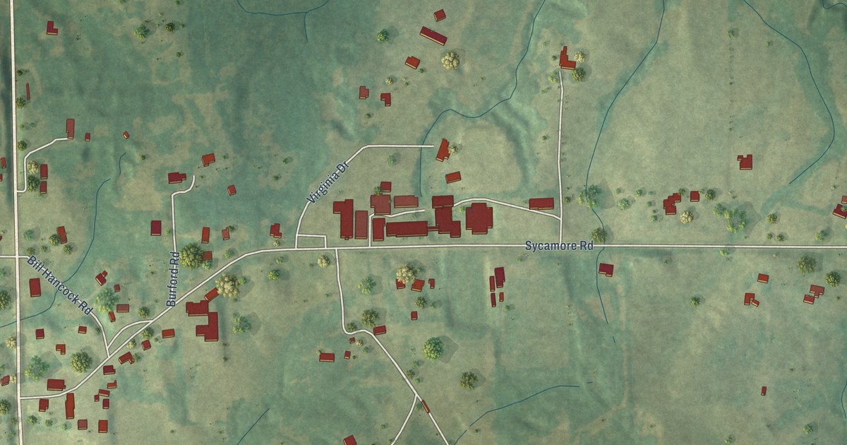
A detailed map of Independence, Mississippi, showing every building in its true location, the roads by name, and shaded topographical relief.
Read More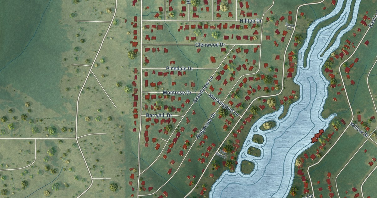
A detailed map of Hide-A-Way Lake, Mississippi, showing every building in its true location, the roads by name, and shaded topographical relief.
Read More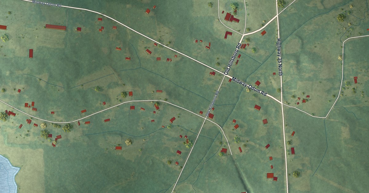
A detailed map of Harperville, Mississippi, showing every building in its true location, the roads by name, and shaded topographical relief.
Read More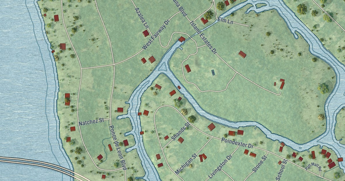
A detailed map of Henderson Point, Mississippi, showing every building in its true location, the roads by name, and shaded topographical relief.
Read More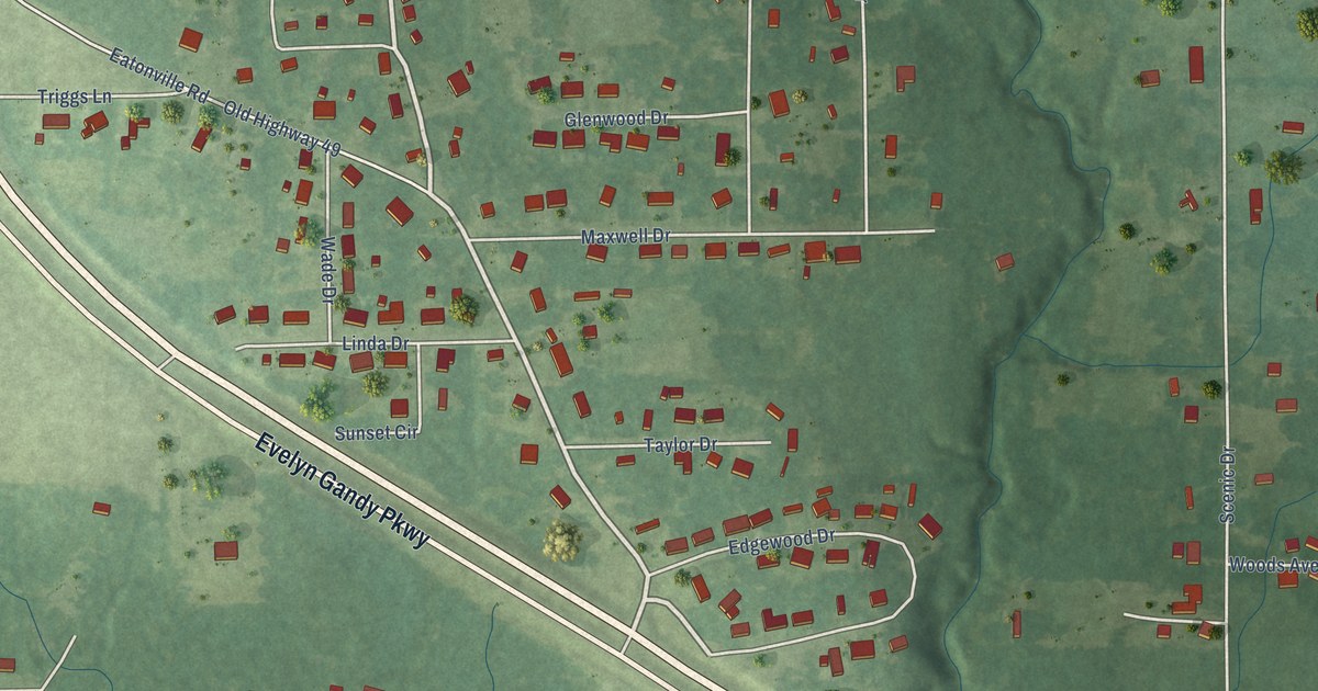
A detailed map of Glendale, Mississippi, showing every building in its true location, the roads by name, and shaded topographical relief.
Read More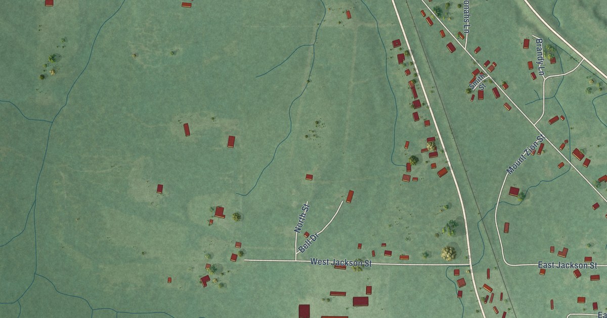
A detailed map of Foxworth, Mississippi, showing every building in its true location, the roads by name, and shaded topographical relief.
Read More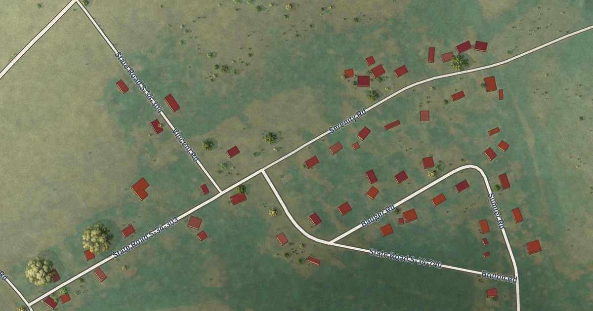
A detailed map of Zion, South Carolina, showing every building in its true location, the roads by name, and shaded topographical relief.
Read More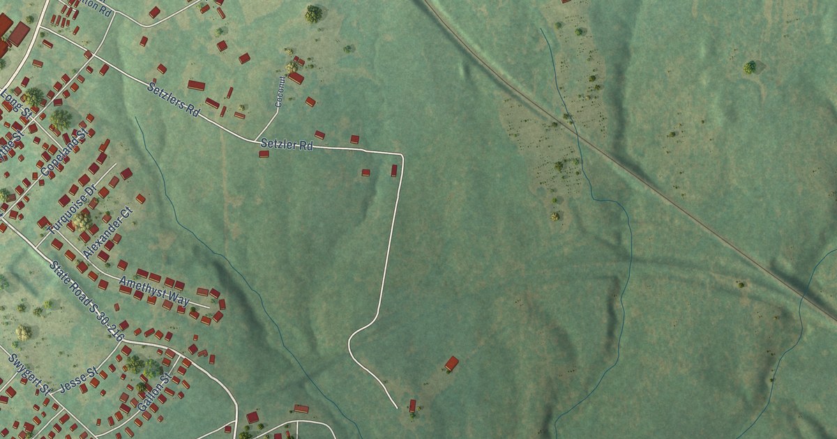
A detailed map of Watts Mills, South Carolina, showing every building in its true location, the roads by name, and shaded topographical relief.
Read More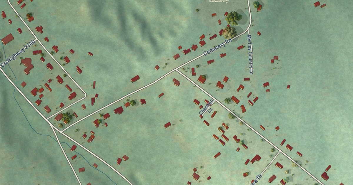
A detailed map of Warrenville, South Carolina, showing every building in its true location, the roads by name, and shaded topographical relief.
Read More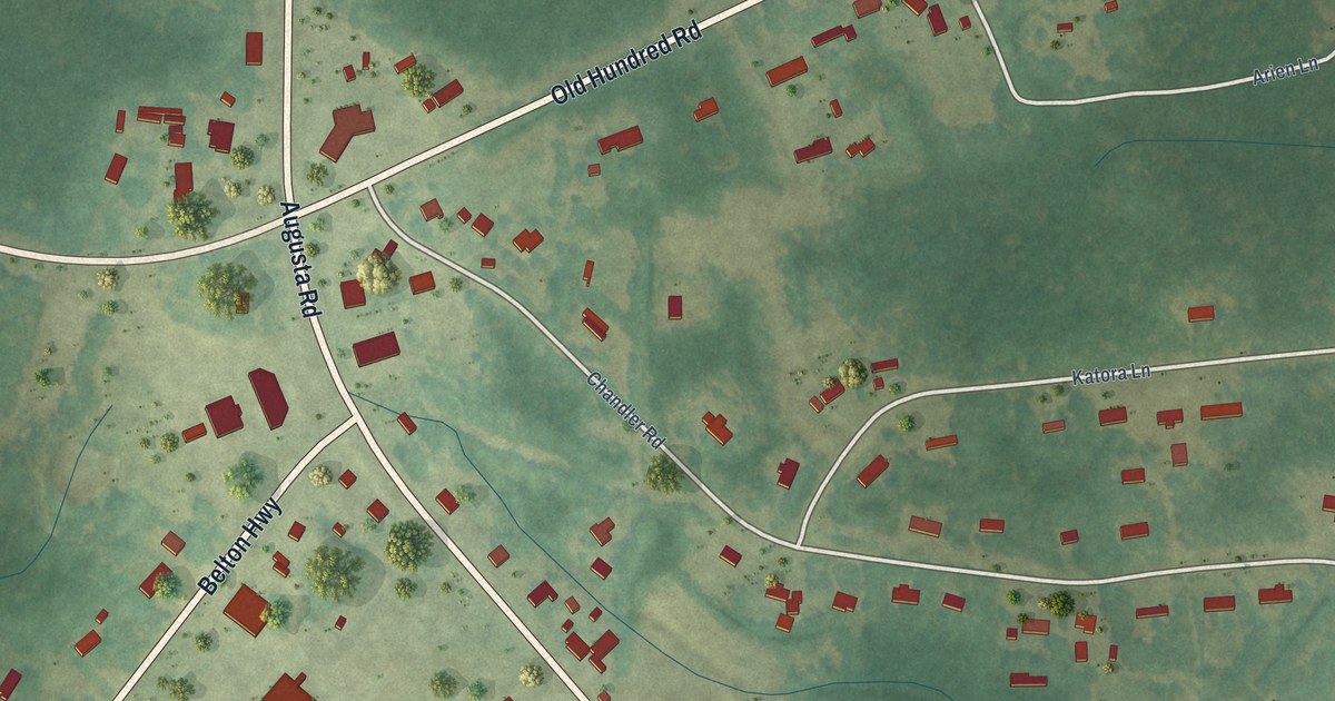
A detailed map of Ware Place, South Carolina, showing every building in its true location, the roads by name, and shaded topographical relief.
Read More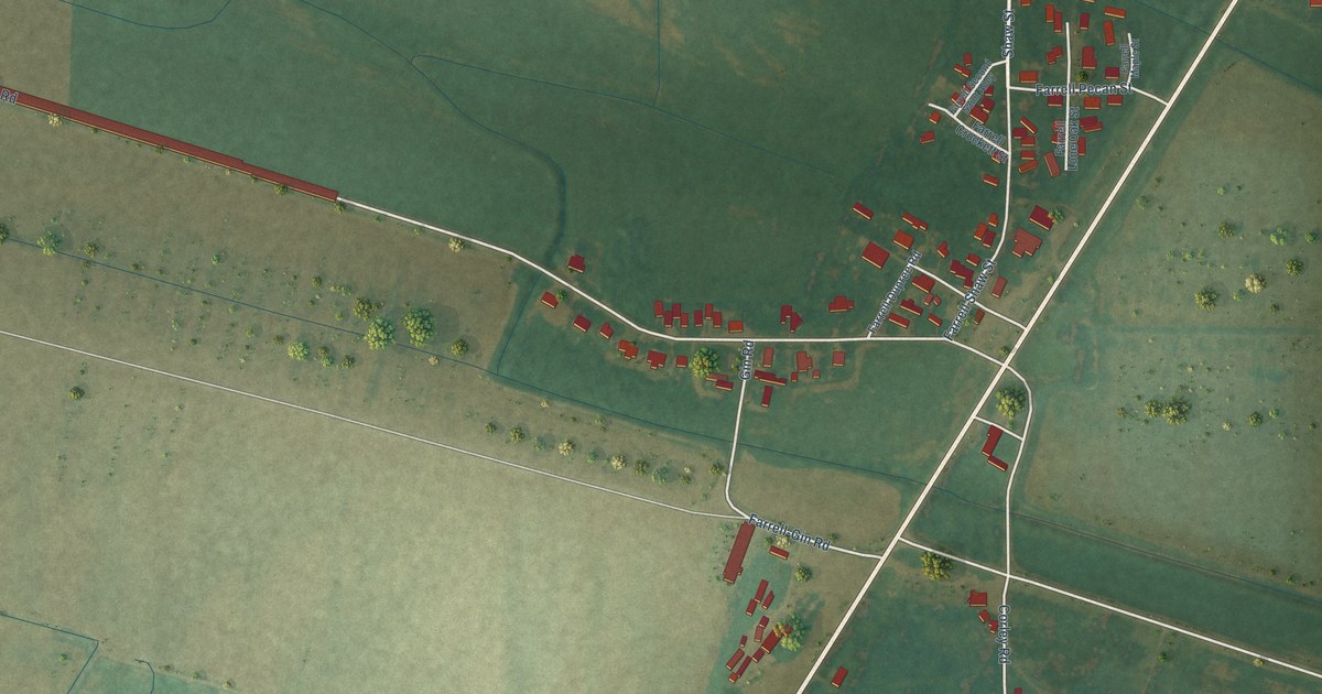
A detailed map of Farrell, Mississippi, showing every building in its true location, the roads by name, and shaded topographical relief.
Read More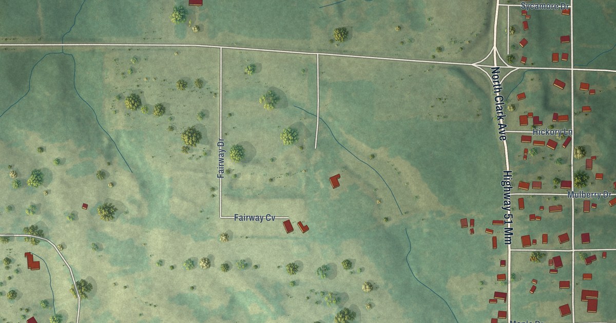
A detailed map of Fernwood, Mississippi, showing every building in its true location, the roads by name, and shaded topographical relief.
Read More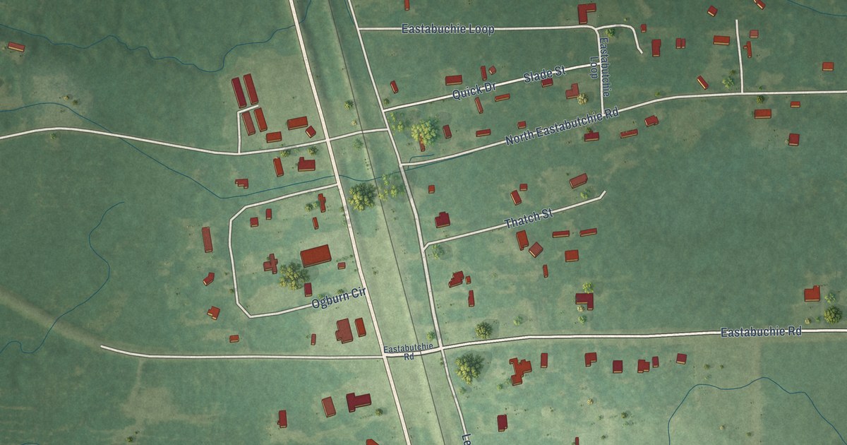
A detailed map of Eastabuchie, Mississippi, showing every building in its true location, the roads by name, and shaded topographical relief.
Read More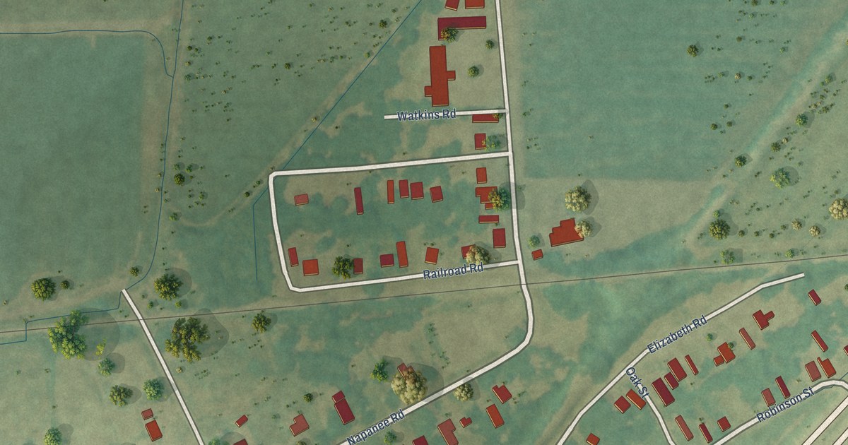
A detailed map of Elizabeth, Mississippi, showing every building in its true location, the roads by name, and shaded topographical relief.
Read More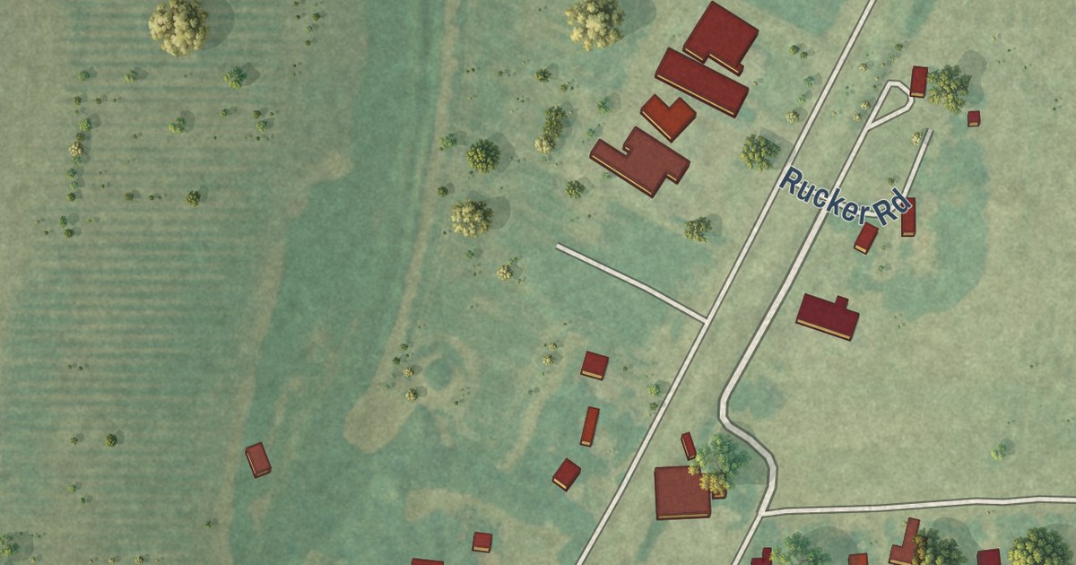
A detailed map of Dundee, Mississippi, showing every building in its true location, the roads by name, and shaded topographical relief.
Read More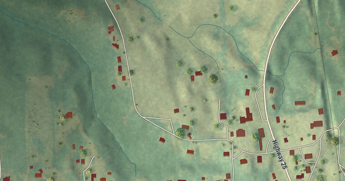
A detailed map of Dennis, Mississippi, showing every building in its true location, the roads by name, and shaded topographical relief.
Read More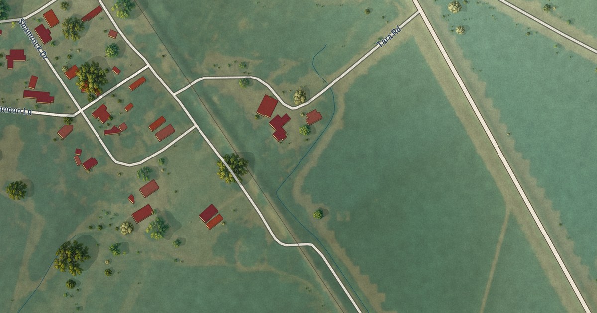
A detailed map of Dublin, Mississippi, showing every building in its true location, the roads by name, and shaded topographical relief.
Read More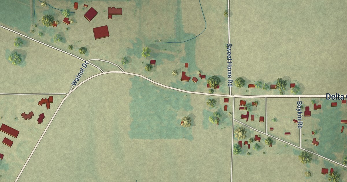
A detailed map of Delta City, Mississippi, showing every building in its true location, the roads by name, and shaded topographical relief.
Read More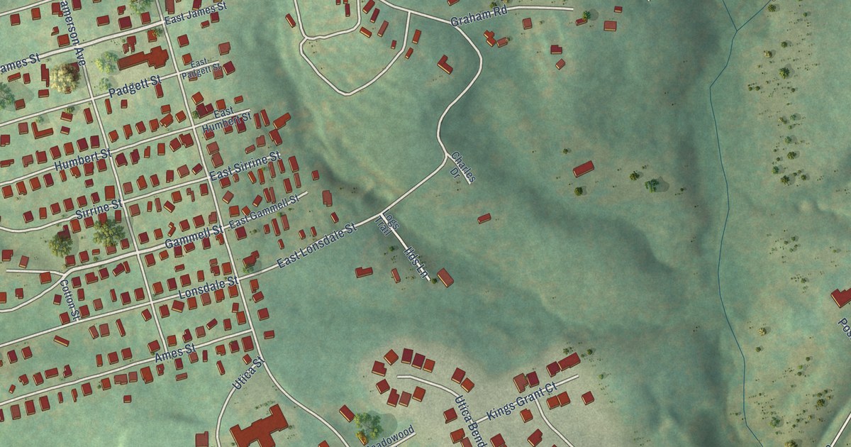
A detailed map of Utica, South Carolina, showing every building in its true location, the roads by name, and shaded topographical relief.
Read More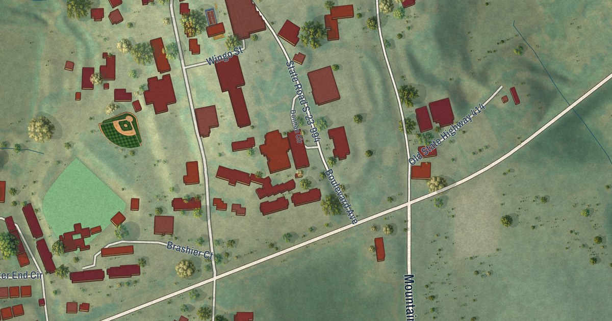
A detailed map of Tigerville, South Carolina, showing every building in its true location, the roads by name, and shaded topographical relief.
Read More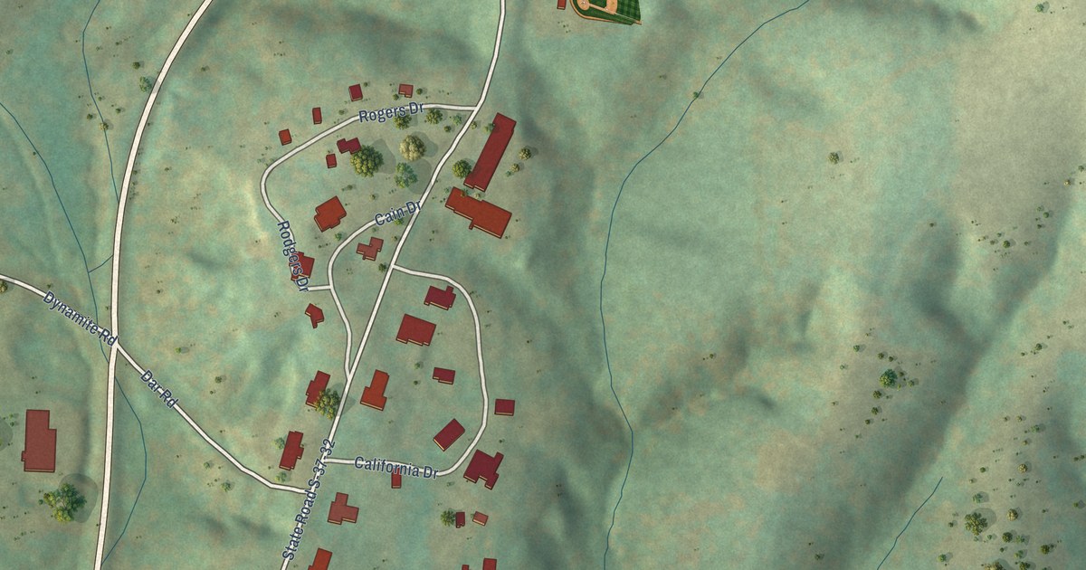
A detailed map of Tamassee, South Carolina, showing every building in its true location, the roads by name, and shaded topographical relief.
Read More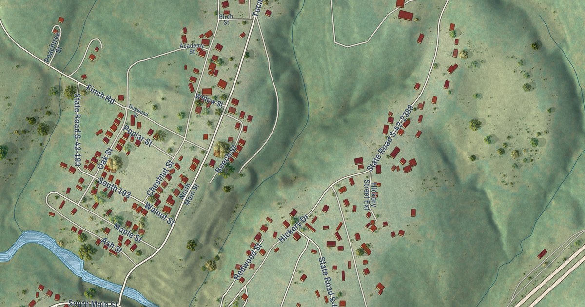
A detailed map of Startex, South Carolina, showing every building in its true location, the roads by name, and shaded topographical relief.
Read More















