Detailed Map of South Sumter, South Carolina
A detailed map of South Sumter, South Carolina, showing every building in its true location, the roads by name, and shaded topographical relief.
Read More
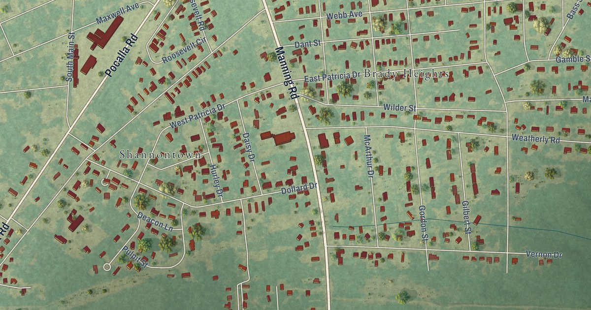
A detailed map of South Sumter, South Carolina, showing every building in its true location, the roads by name, and shaded topographical relief.
Read More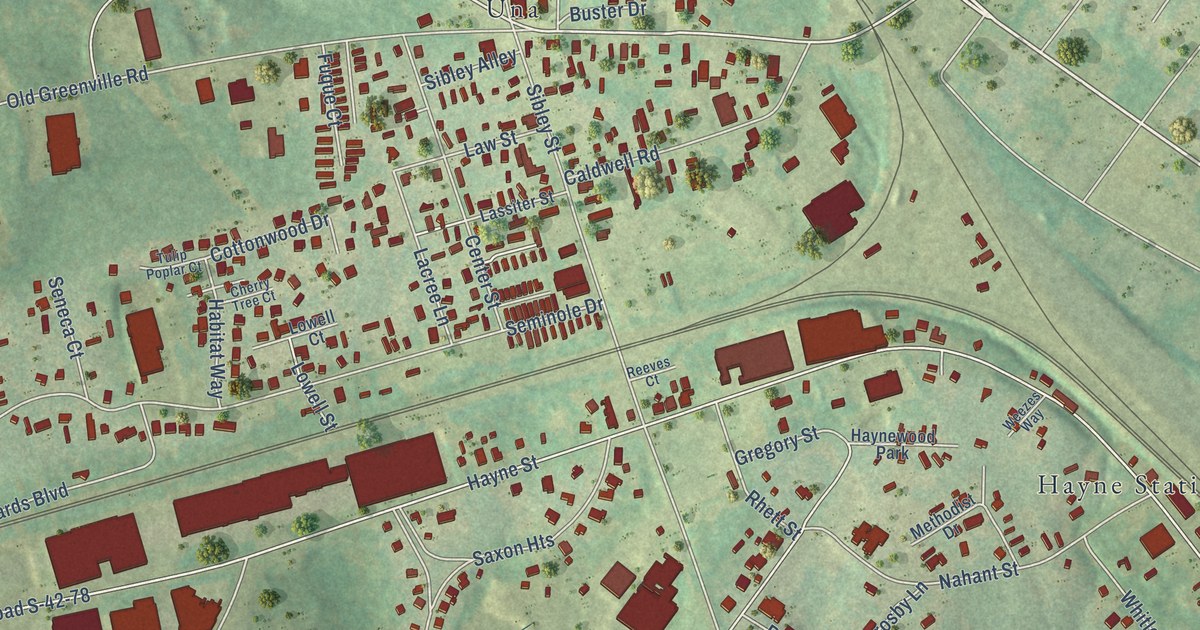
A detailed map of Saxon, South Carolina, showing every building in its true location, the roads by name, and shaded topographical relief.
Read More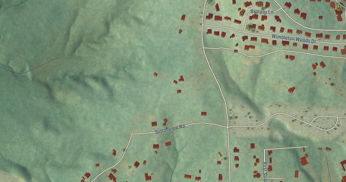
A detailed map of Riverview, South Carolina, showing every building in its true location, the roads by name, and shaded topographical relief.
Read More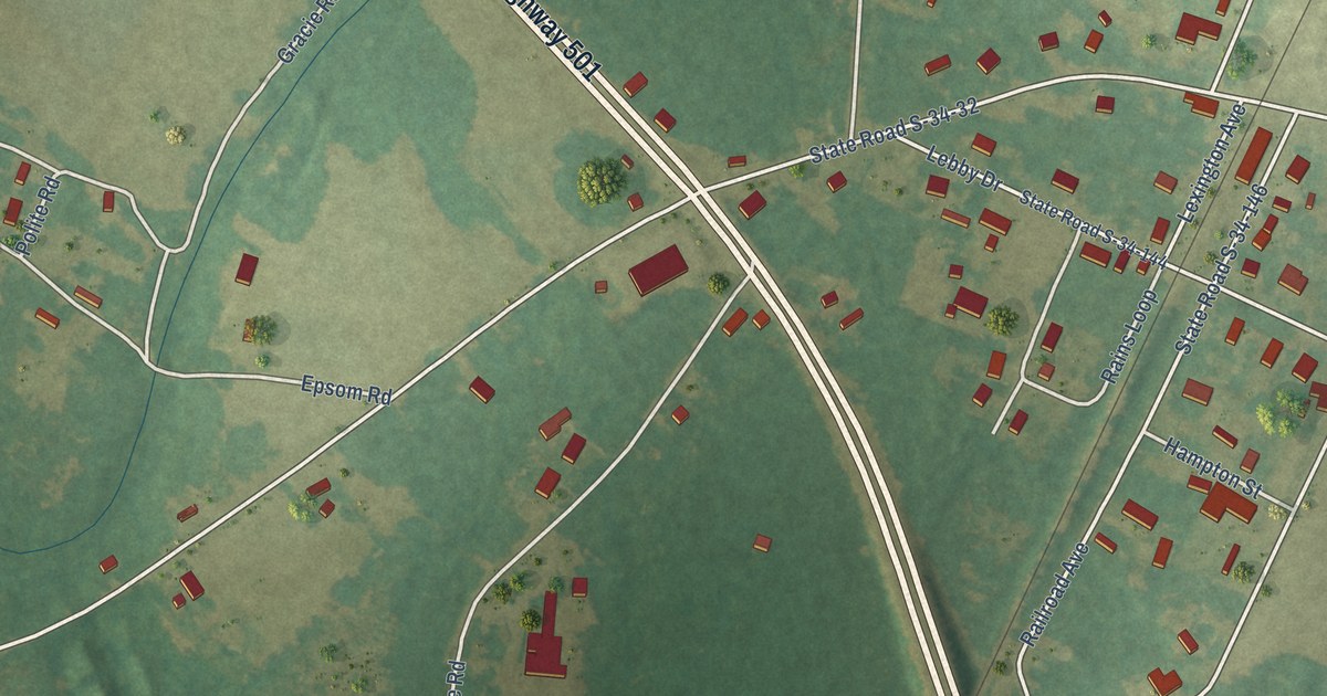
A detailed map of Rains, South Carolina, showing every building in its true location, the roads by name, and shaded topographical relief.
Read More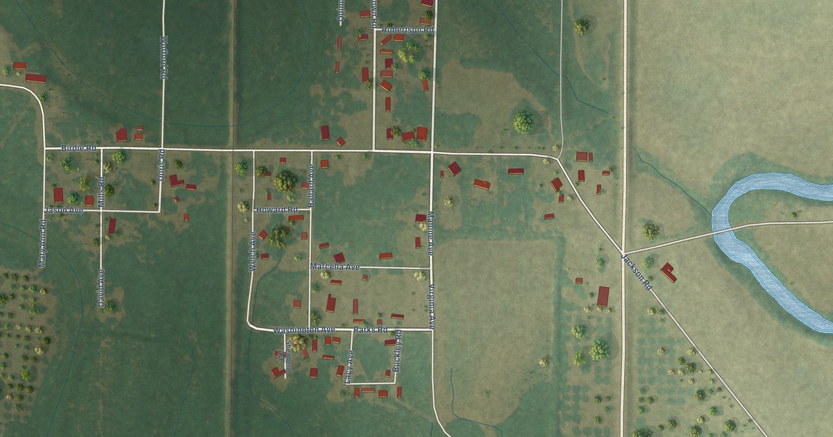
A detailed map of Darling, Mississippi, showing every building in its true location, the roads by name, and shaded topographical relief.
Read More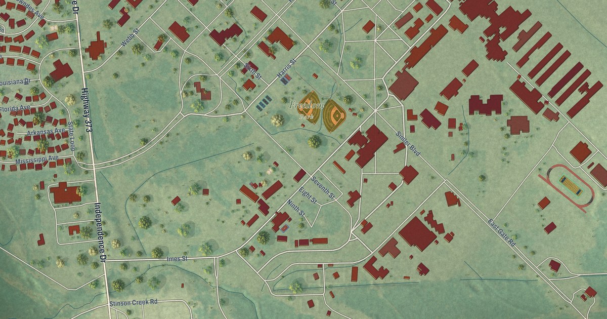
A detailed map of Columbus AFB, Mississippi, showing every building in its true location, the roads by name, and shaded topographical relief.
Read More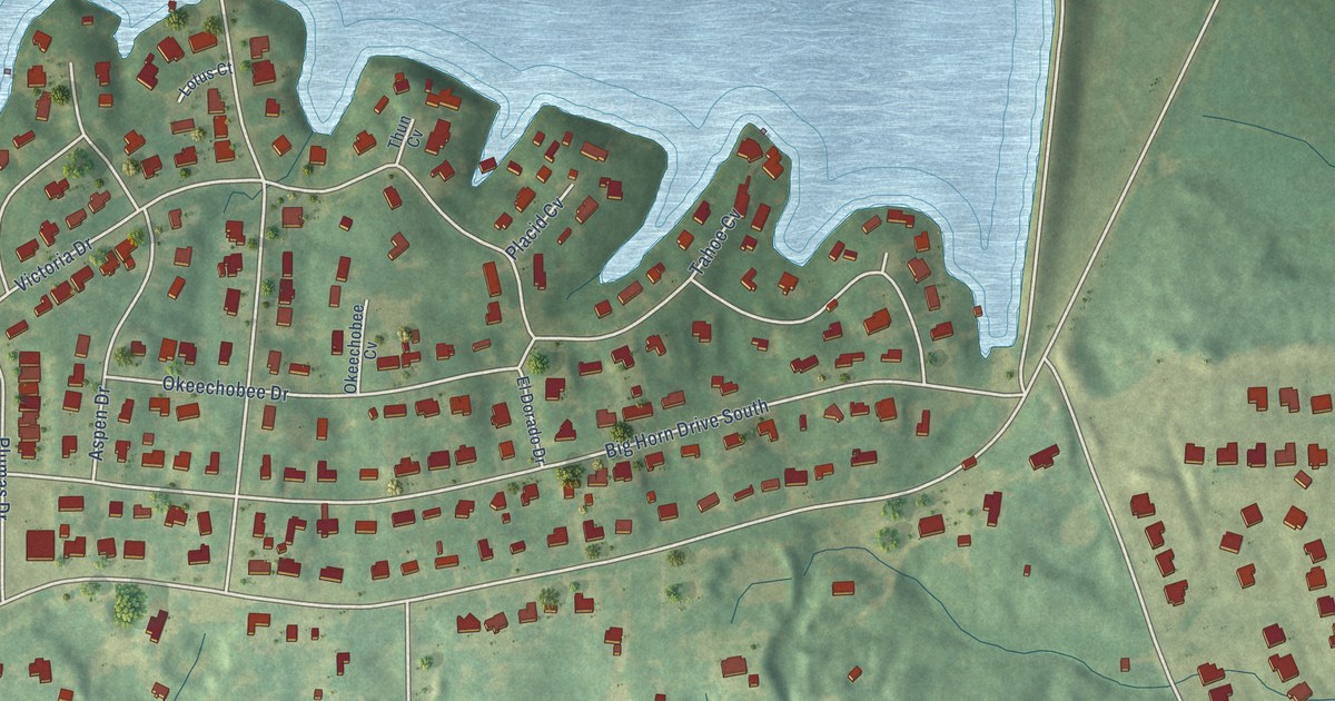
A detailed map of Bridgetown, Mississippi, showing every building in its true location, the roads by name, and shaded topographical relief.
Read More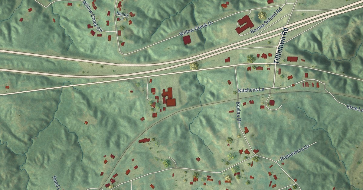
A detailed map of Bovina, Mississippi, showing every building in its true location, the roads by name, and shaded topographical relief.
Read More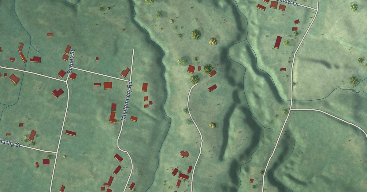
A detailed map of Cloverdale, Mississippi, showing every building in its true location, the roads by name, and shaded topographical relief.
Read More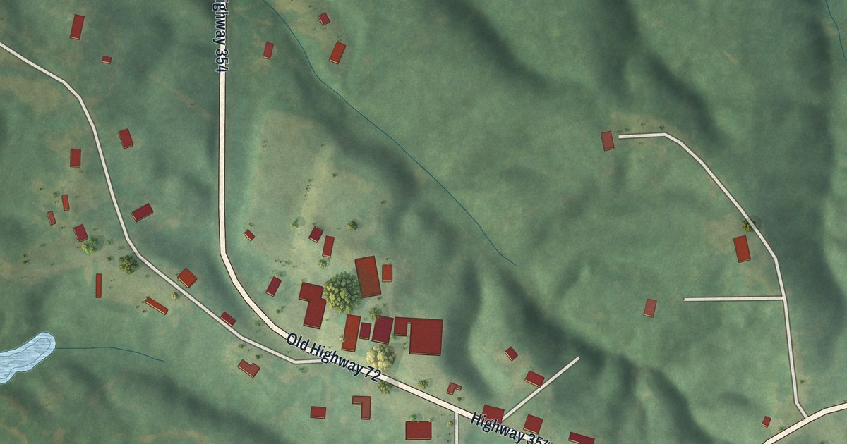
A detailed map of Chalybeate, Mississippi, showing every building in its true location, the roads by name, and shaded topographical relief.
Read More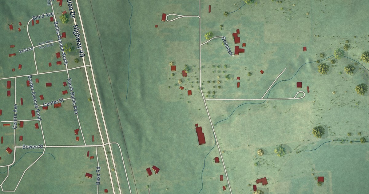
A detailed map of Bond, Mississippi, showing every building in its true location, the roads by name, and shaded topographical relief.
Read More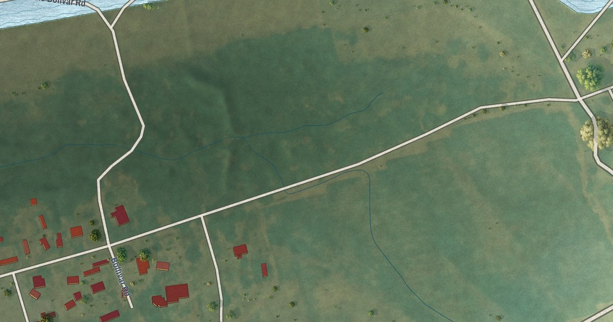
A detailed map of Bolivar, Mississippi, showing every building in its true location, the roads by name, and shaded topographical relief.
Read More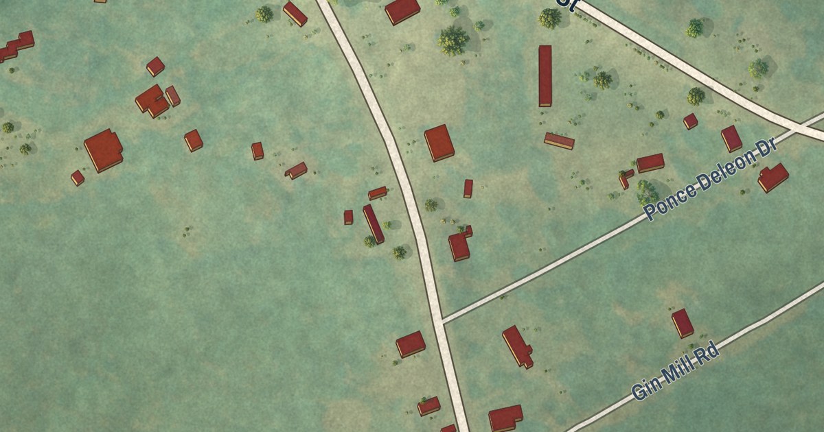
A detailed map of Princeton, South Carolina, showing every building in its true location, the roads by name, and shaded topographical relief.
Read More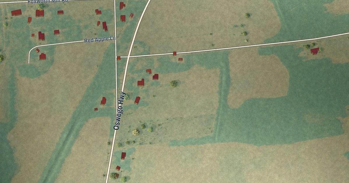
A detailed map of Oswego, South Carolina, showing every building in its true location, the roads by name, and shaded topographical relief.
Read More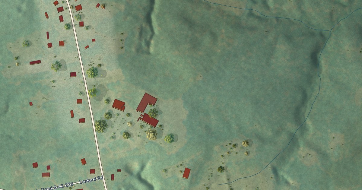
A detailed map of Pauline, South Carolina, showing every building in its true location, the roads by name, and shaded topographical relief.
Read More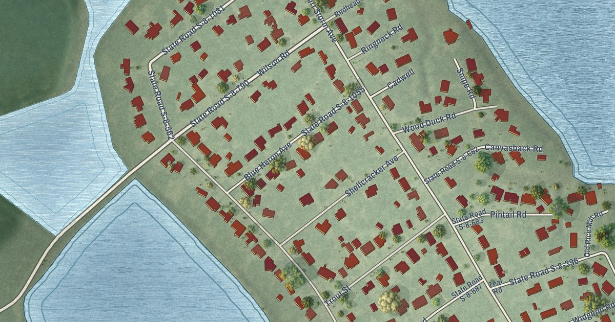
A detailed map of Pimlico, South Carolina, showing every building in its true location, the roads by name, and shaded topographical relief.
Read More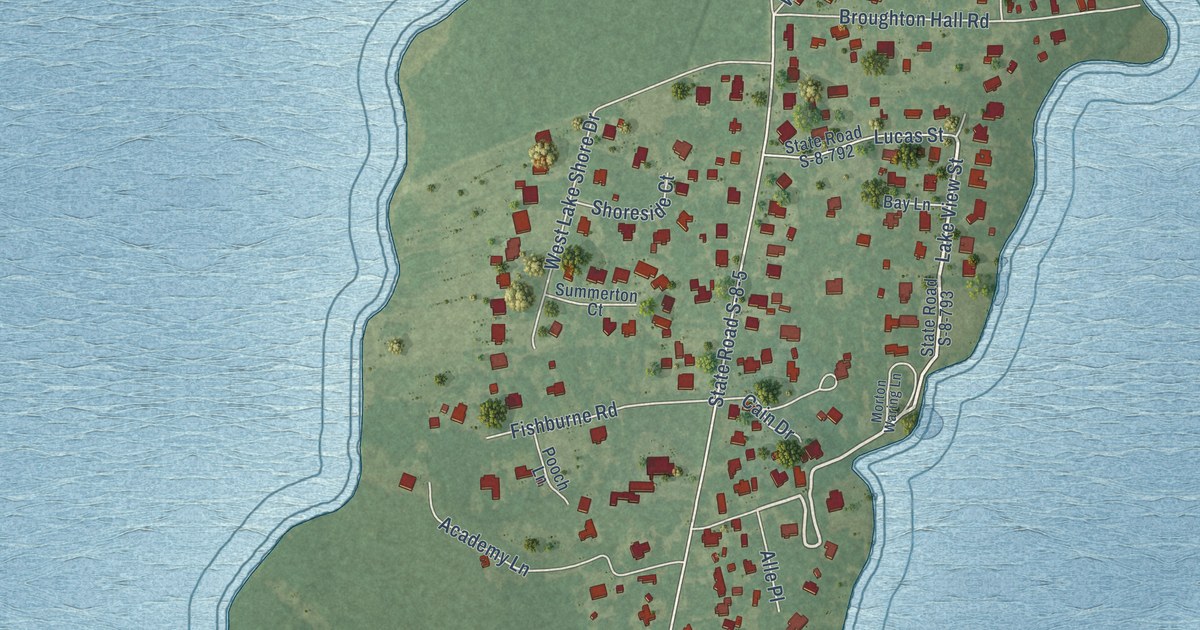
A detailed map of Pinopolis, South Carolina, showing every building in its true location, the roads by name, and shaded topographical relief.
Read More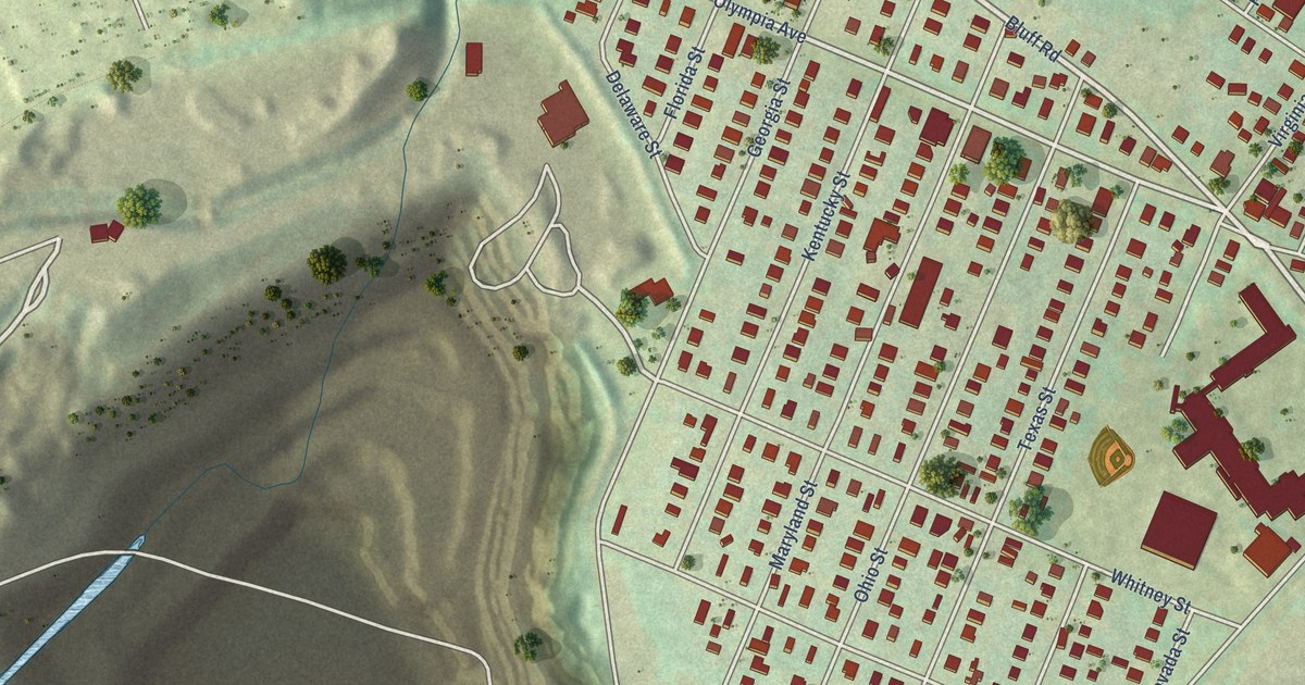
A detailed map of Olympia, South Carolina, showing every building in its true location, the roads by name, and shaded topographical relief.
Read More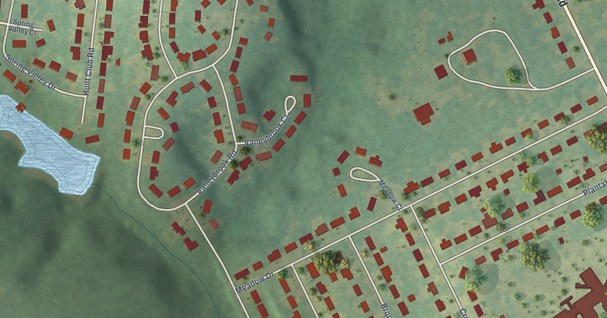
A detailed map of Oakland, South Carolina, showing every building in its true location, the roads by name, and shaded topographical relief.
Read More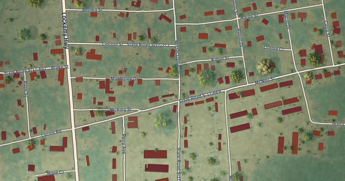
A detailed map of Newtown, South Carolina, showing every building in its true location, the roads by name, and shaded topographical relief.
Read More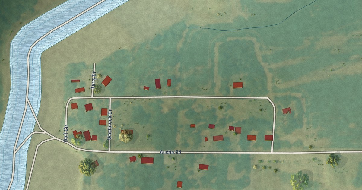
A detailed map of Austin, Mississippi, showing every building in its true location, the roads by name, and shaded topographical relief.
Read More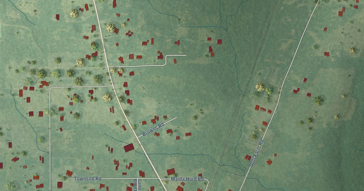
A detailed map of Big Point, Mississippi, showing every building in its true location, the roads by name, and shaded topographical relief.
Read More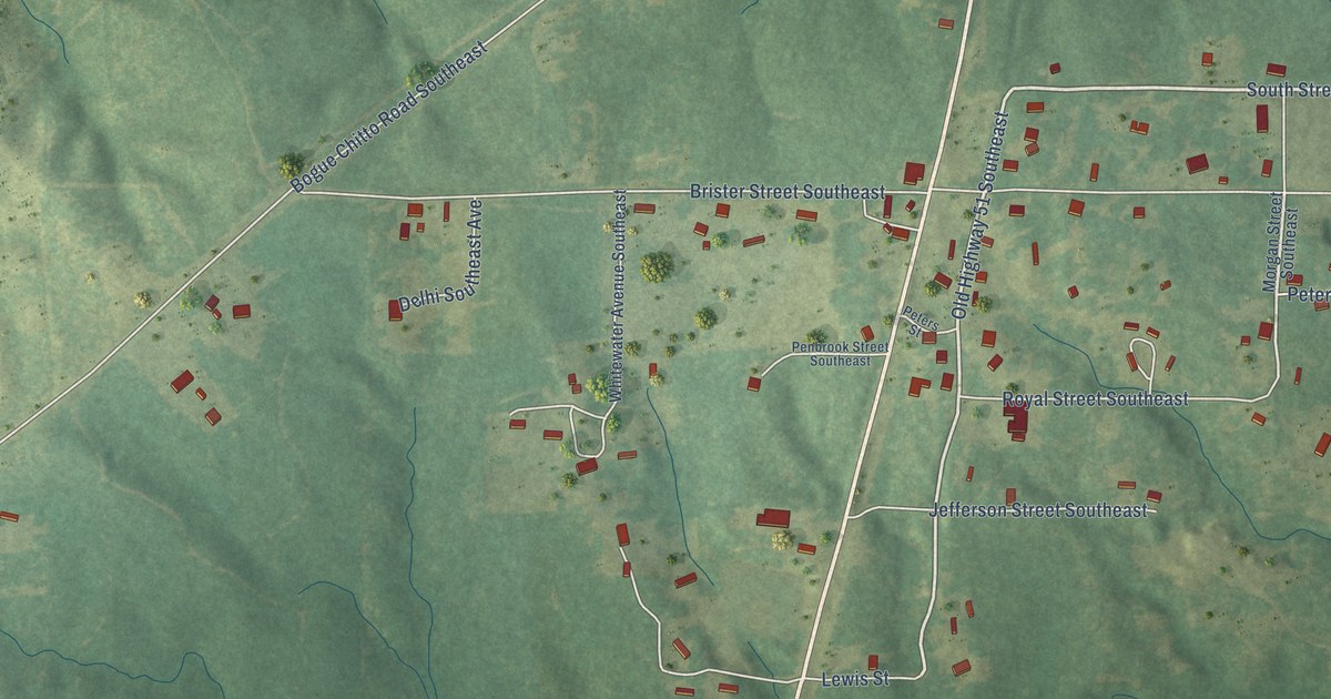
A detailed map of Bogue Chitto, Mississippi, showing every building in its true location, the roads by name, and shaded topographical relief.
Read More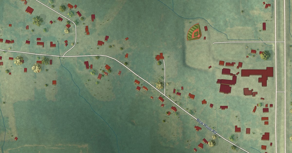
A detailed map of Biggersville, Mississippi, showing every building in its true location, the roads by name, and shaded topographical relief.
Read More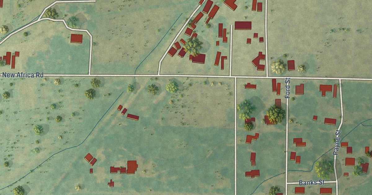
A detailed map of Bobo, Mississippi, showing every building in its true location, the roads by name, and shaded topographical relief.
Read More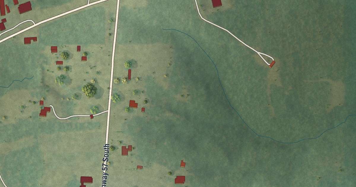
A detailed map of Benndale, Mississippi, showing every building in its true location, the roads by name, and shaded topographical relief.
Read More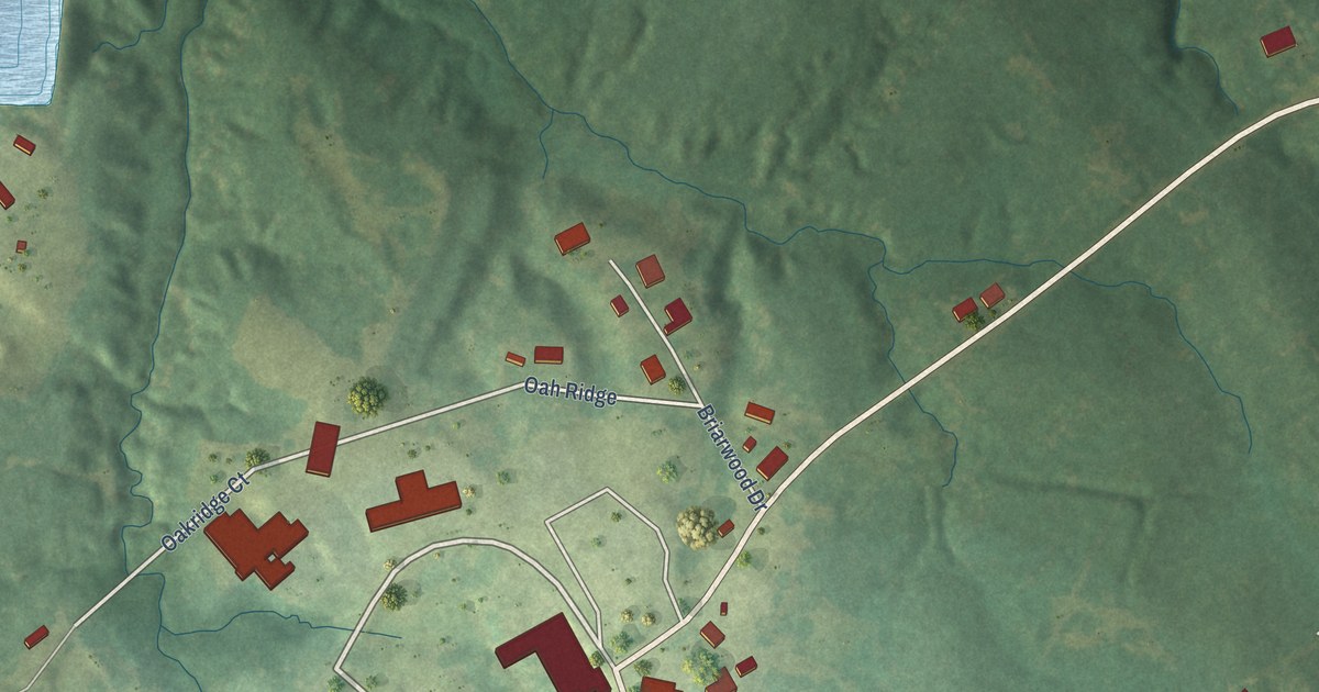
A detailed map of Alcorn State University, Mississippi, showing every building in its true location, the roads by name, and shaded topographical relief.
Read More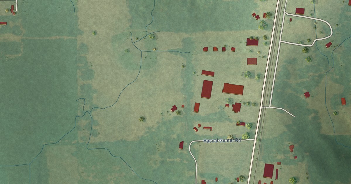
A detailed map of Agricola, Mississippi, showing every building in its true location, the roads by name, and shaded topographical relief.
Read More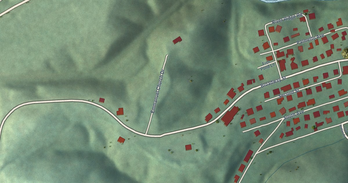
A detailed map of Newry, South Carolina, showing every building in its true location, the roads by name, and shaded topographical relief.
Read More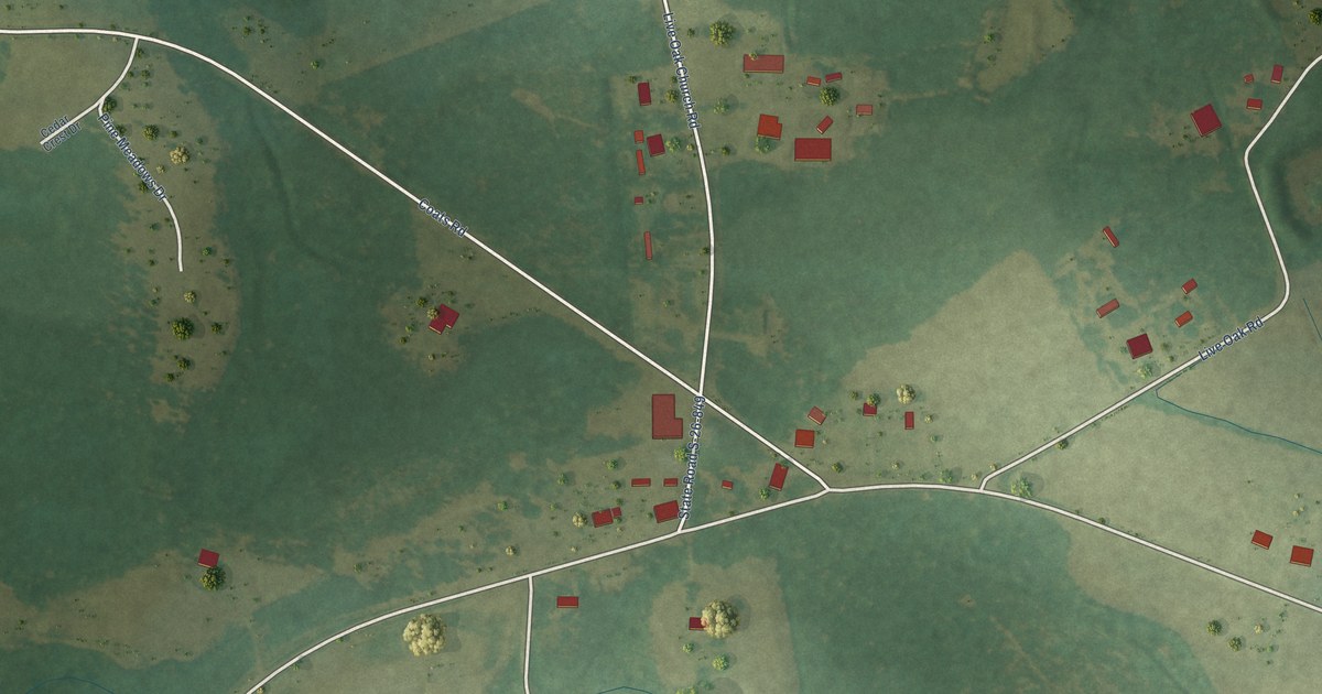
A detailed map of Live Oak, South Carolina, showing every building in its true location, the roads by name, and shaded topographical relief.
Read More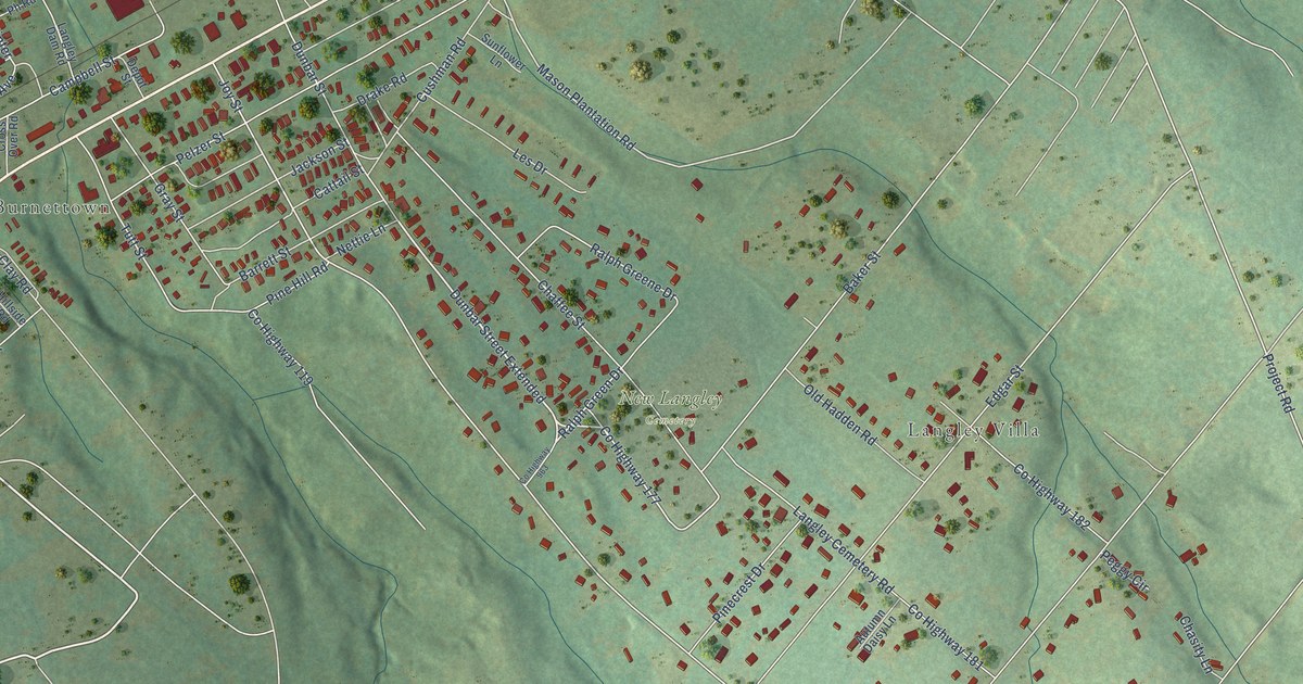
A detailed map of Langley, South Carolina, showing every building in its true location, the roads by name, and shaded topographical relief.
Read More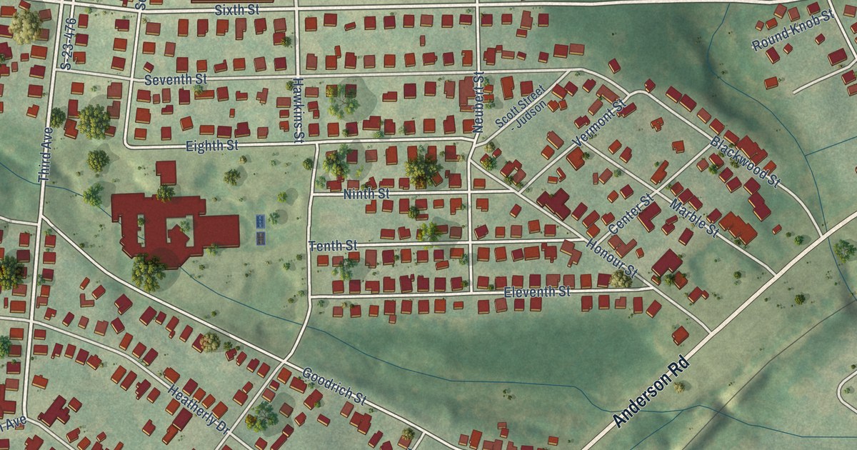
A detailed map of Judson, South Carolina, showing every building in its true location, the roads by name, and shaded topographical relief.
Read More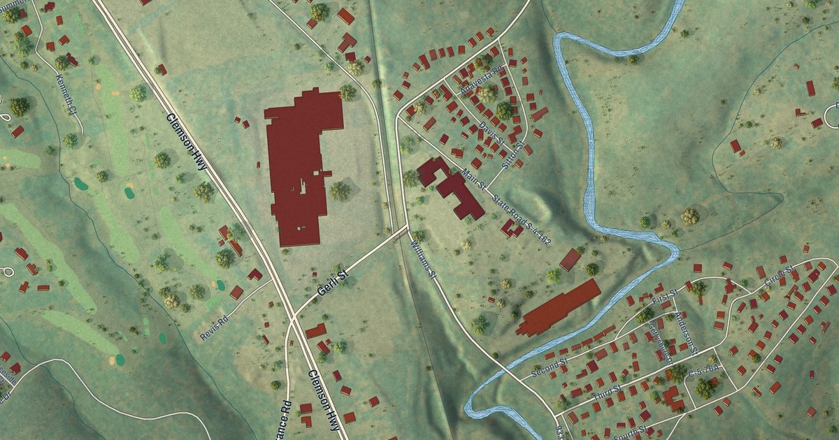
A detailed map of La France, South Carolina, showing every building in its true location, the roads by name, and shaded topographical relief.
Read More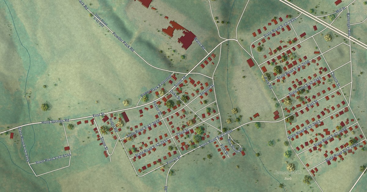
A detailed map of Inman Mills, South Carolina, showing every building in its true location, the roads by name, and shaded topographical relief.
Read More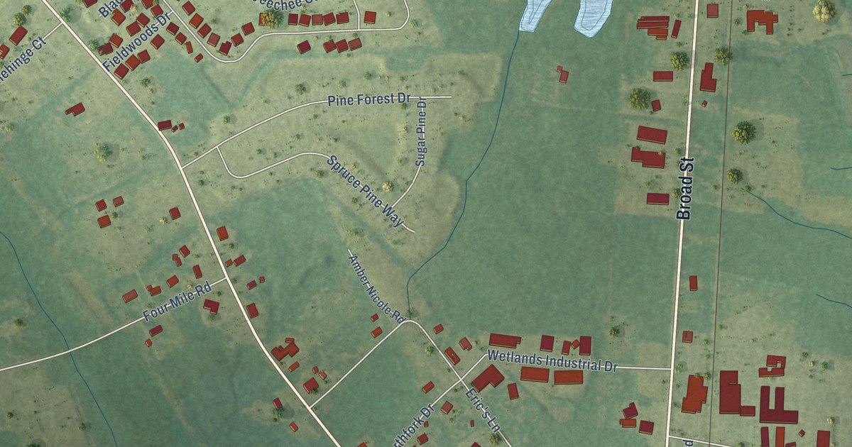
A detailed map of Homewood, South Carolina, showing every building in its true location, the roads by name, and shaded topographical relief.
Read More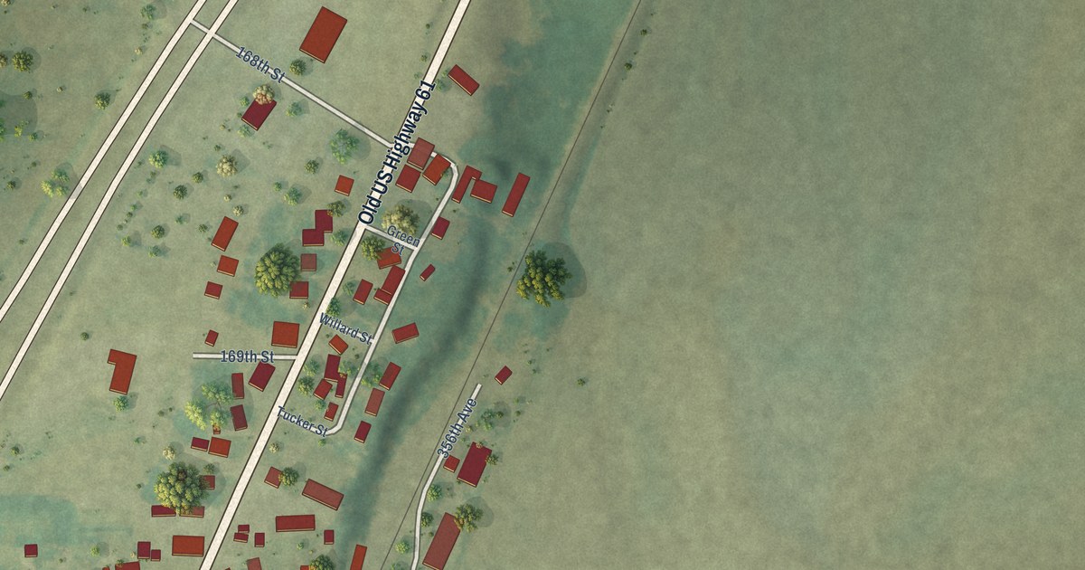
A detailed map of Wever, Iowa, showing every building in its true location, the roads by name, and shaded topographical relief.
Read More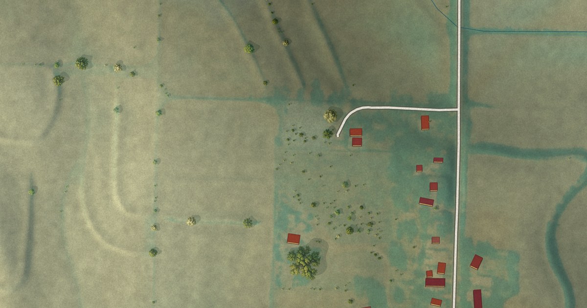
A detailed map of Weston, Iowa, showing every building in its true location, the roads by name, and shaded topographical relief.
Read More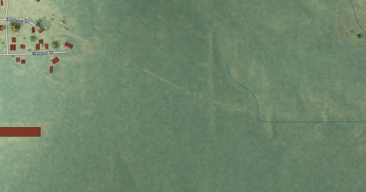
A detailed map of Yarmouth, Iowa, showing every building in its true location, the roads by name, and shaded topographical relief.
Read More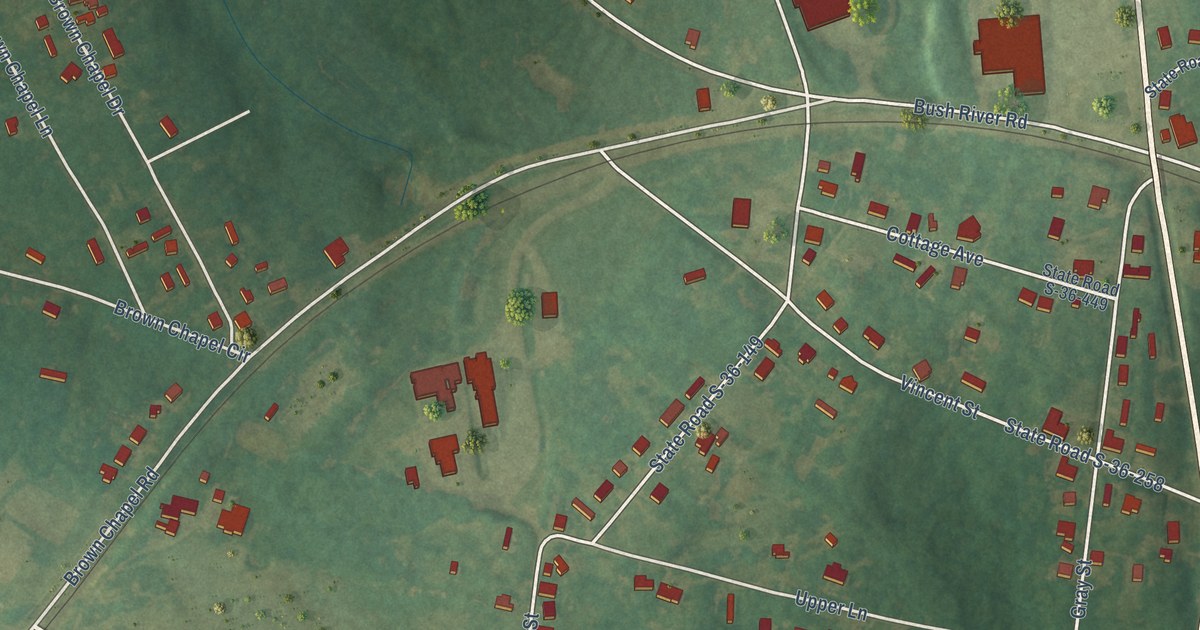
A detailed map of Helena, South Carolina, showing every building in its true location, the roads by name, and shaded topographical relief.
Read More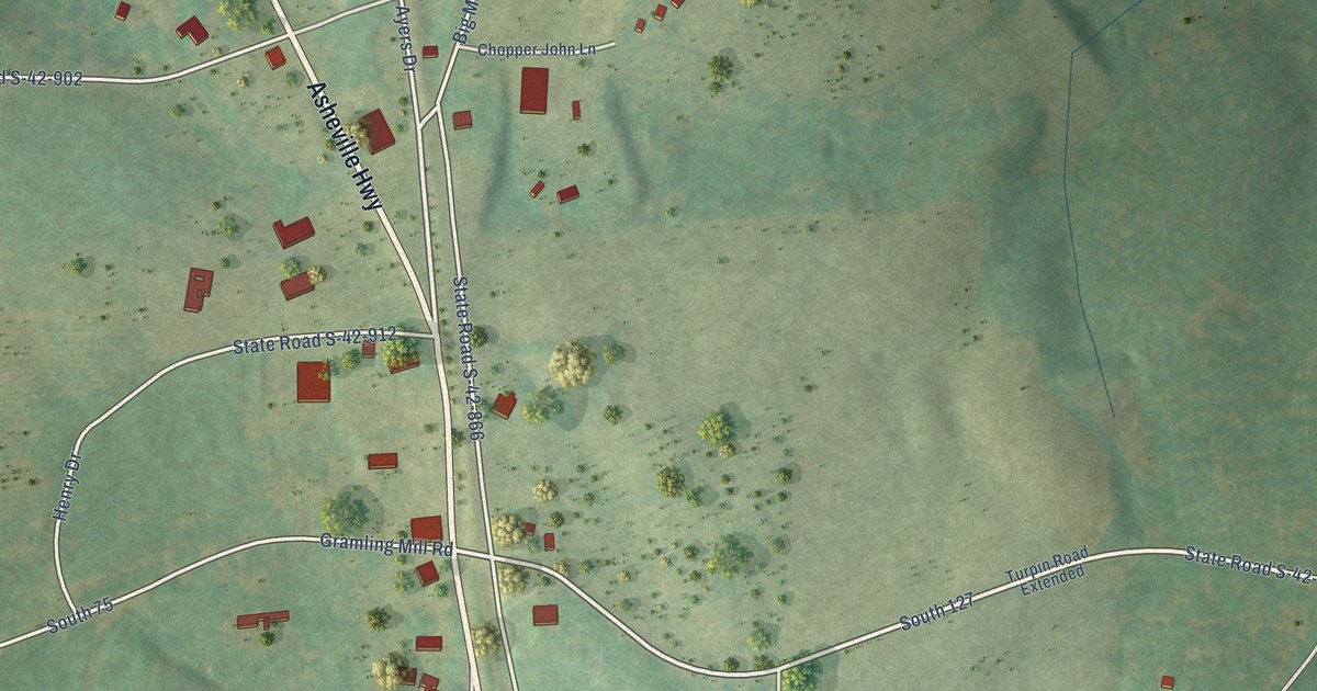
A detailed map of Gramling, South Carolina, showing every building in its true location, the roads by name, and shaded topographical relief.
Read More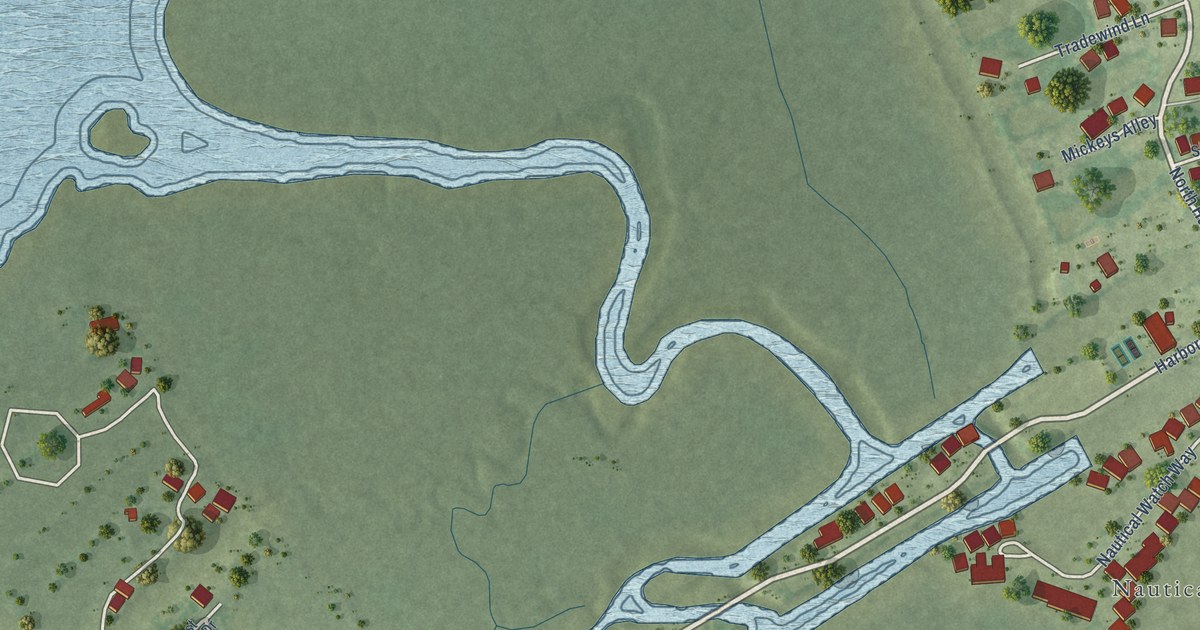
A detailed map of Harbor Island, South Carolina, showing every building in its true location, the roads by name, and shaded topographical relief.
Read More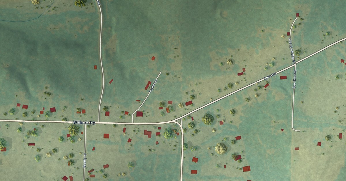
A detailed map of Wilburn, Arkansas, showing every building in its true location, the roads by name, and shaded topographical relief.
Read More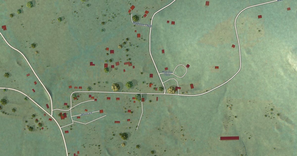
A detailed map of Wesley, Arkansas, showing every building in its true location, the roads by name, and shaded topographical relief.
Read More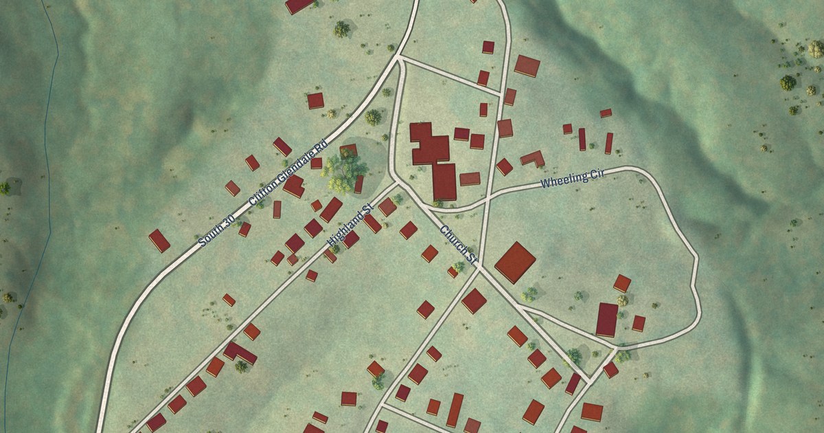
A detailed map of Glendale, South Carolina, showing every building in its true location, the roads by name, and shaded topographical relief.
Read More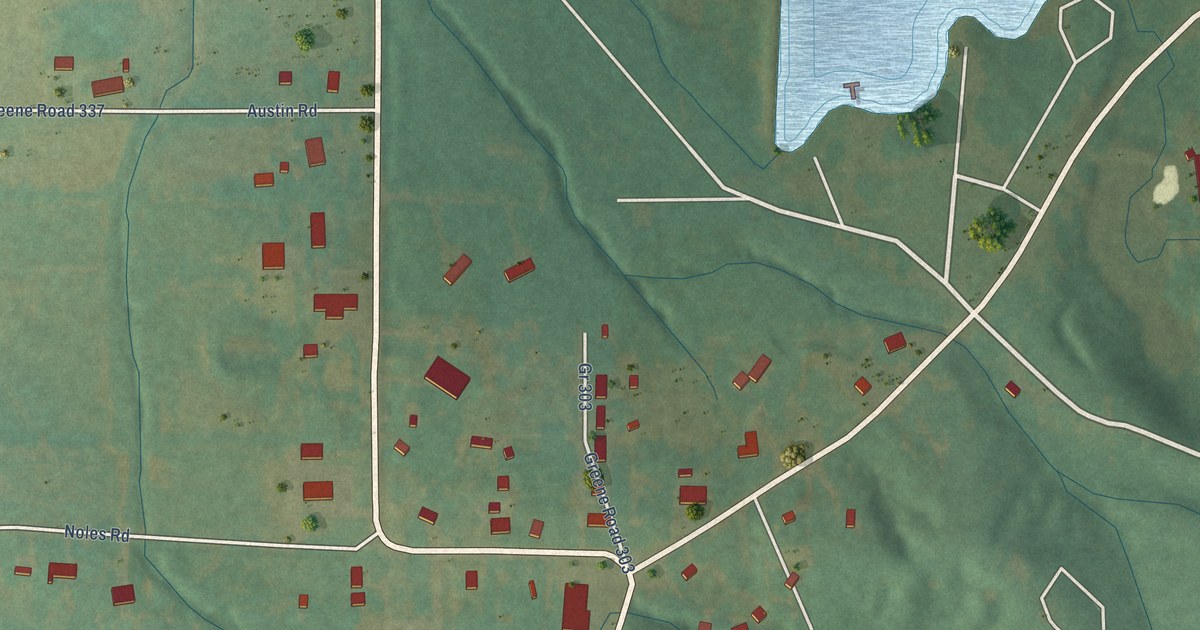
A detailed map of Walcott, Arkansas, showing every building in its true location, the roads by name, and shaded topographical relief.
Read More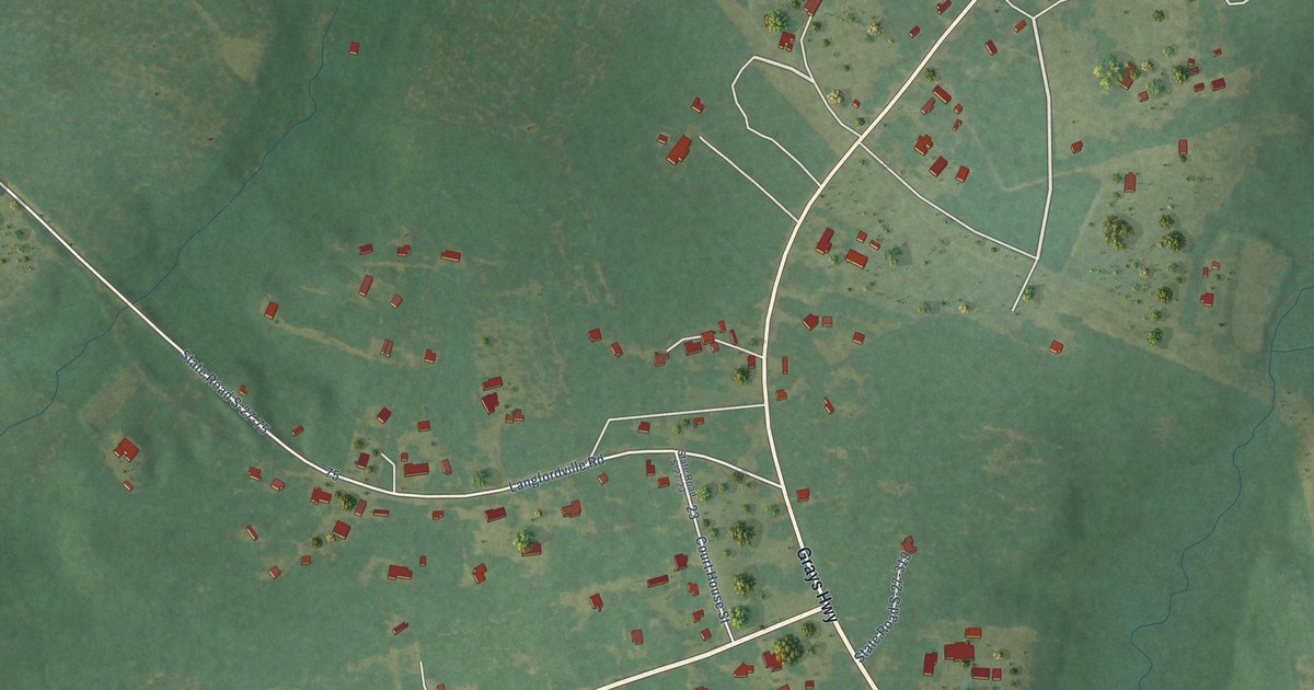
A detailed map of Gillisonville, South Carolina, showing every building in its true location, the roads by name, and shaded topographical relief.
Read More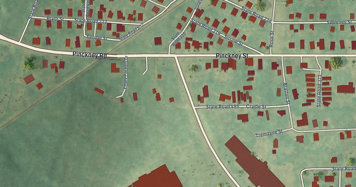
A detailed map of Gayle Mill, South Carolina, showing every building in its true location, the roads by name, and shaded topographical relief.
Read More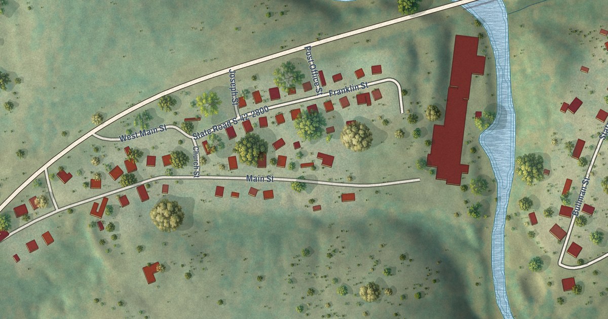
A detailed map of Fingerville, South Carolina, showing every building in its true location, the roads by name, and shaded topographical relief.
Read More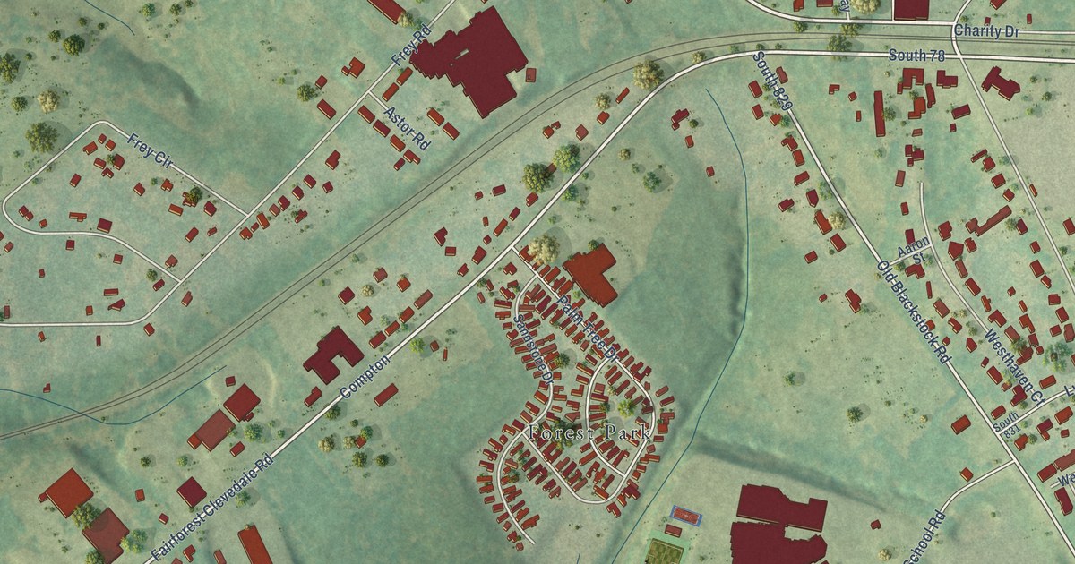
A detailed map of Fairforest, South Carolina, showing every building in its true location, the roads by name, and shaded topographical relief.
Read More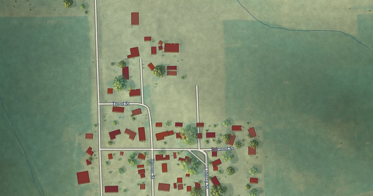
A detailed map of Watkins, Iowa, showing every building in its true location, the roads by name, and shaded topographical relief.
Read More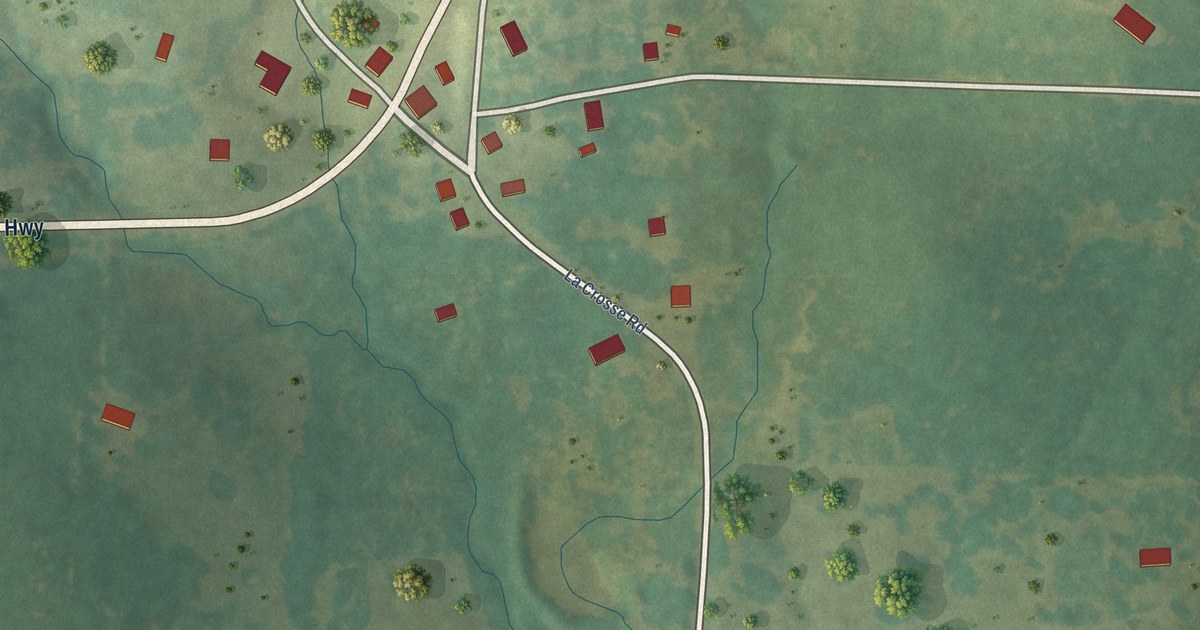
A detailed map of Violet Hill, Arkansas, showing every building in its true location, the roads by name, and shaded topographical relief.
Read More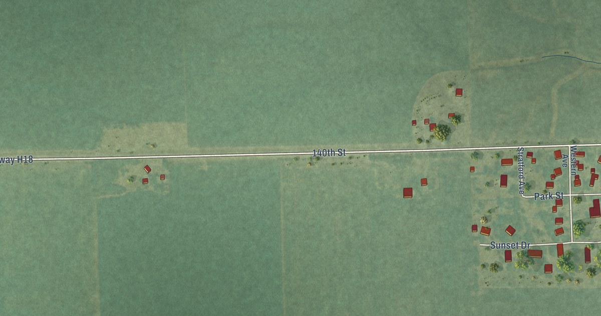
A detailed map of Swedesburg, Iowa, showing every building in its true location, the roads by name, and shaded topographical relief.
Read More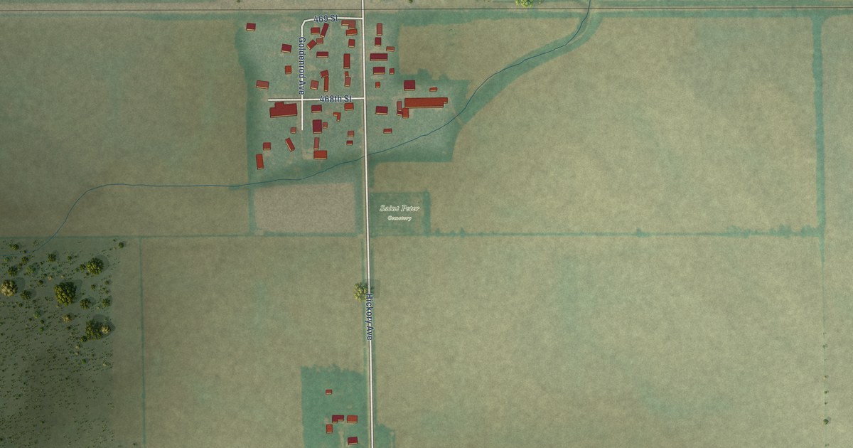
A detailed map of Toeterville, Iowa, showing every building in its true location, the roads by name, and shaded topographical relief.
Read More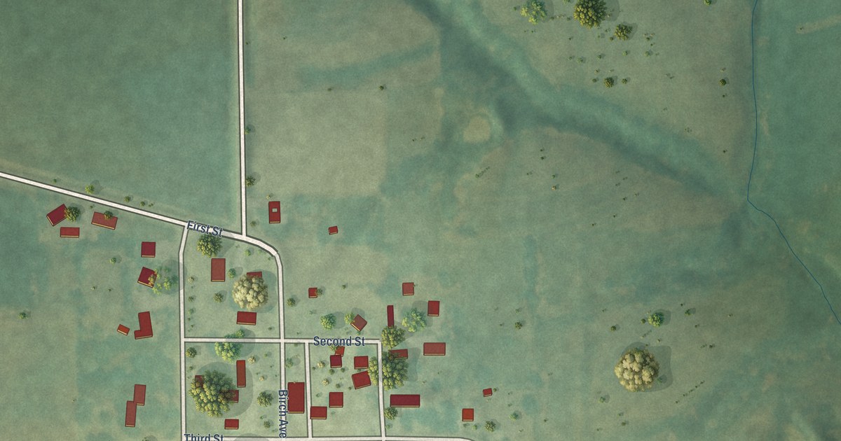
A detailed map of Trenton, Iowa, showing every building in its true location, the roads by name, and shaded topographical relief.
Read More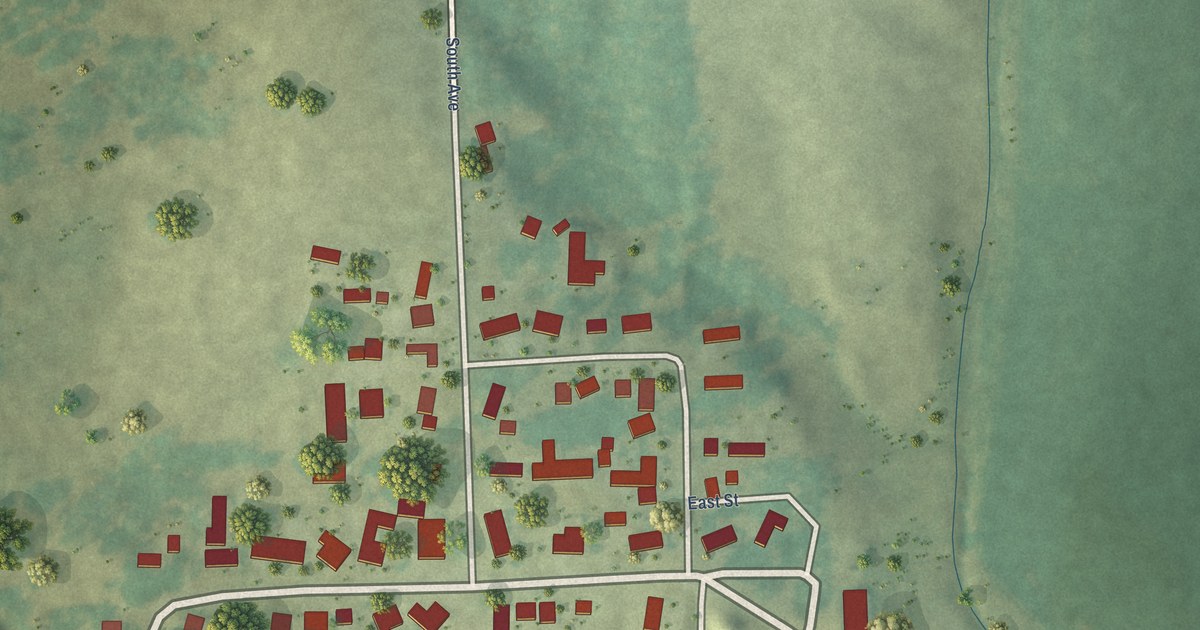
A detailed map of West Amana, Iowa, showing every building in its true location, the roads by name, and shaded topographical relief.
Read More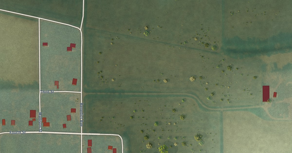
A detailed map of St. Benedict, Iowa, showing every building in its true location, the roads by name, and shaded topographical relief.
Read More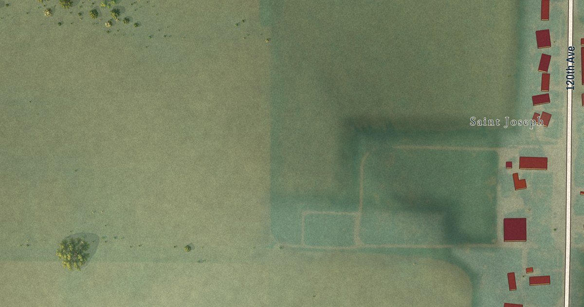
A detailed map of St. Joseph, Iowa, showing every building in its true location, the roads by name, and shaded topographical relief.
Read More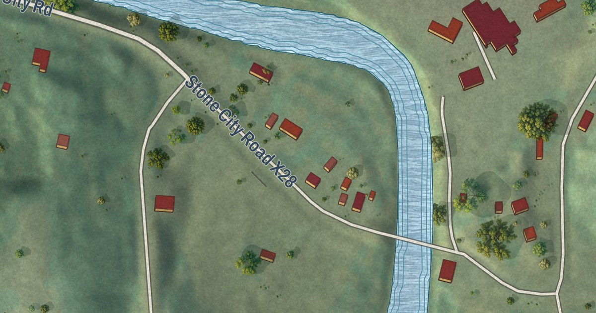
A detailed map of Stone City, Iowa, showing every building in its true location, the roads by name, and shaded topographical relief.
Read More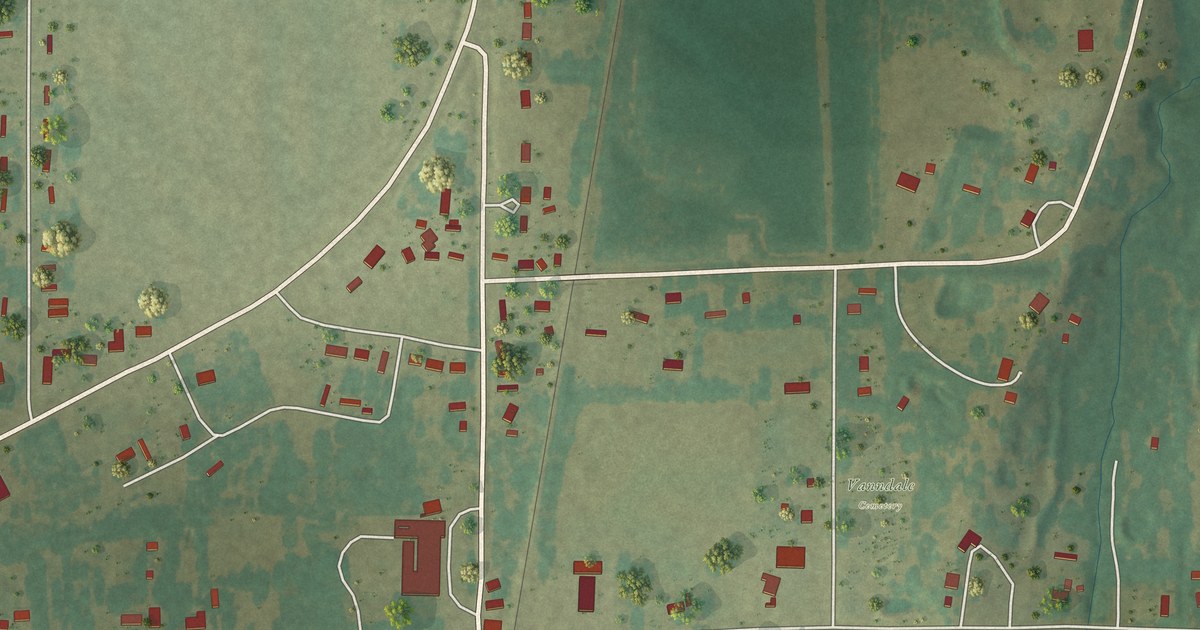
A detailed map of Vanndale, Arkansas, showing every building in its true location, the roads by name, and shaded topographical relief.
Read More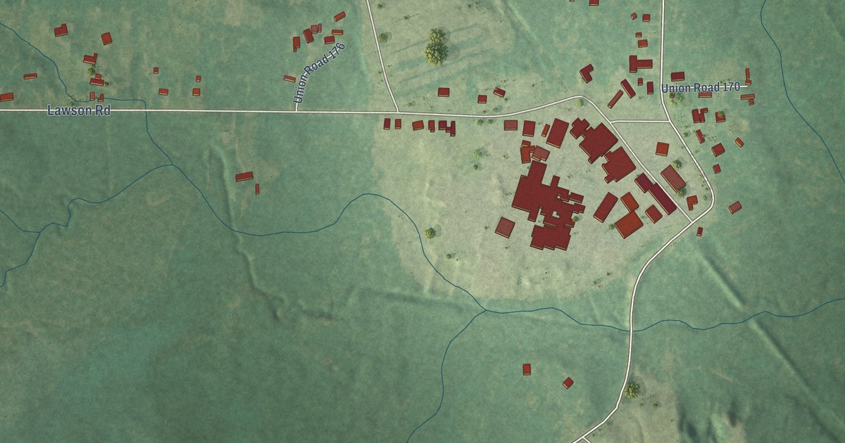
A detailed map of Urbana, Arkansas, showing every building in its true location, the roads by name, and shaded topographical relief.
Read More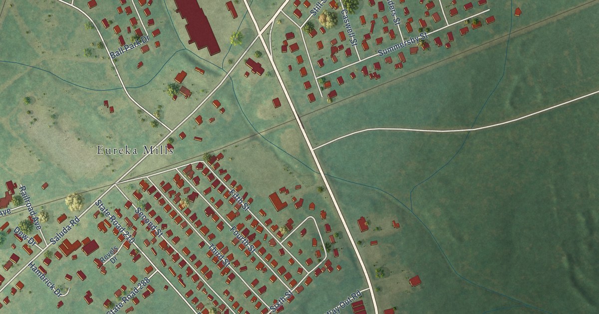
A detailed map of Eureka Mill, South Carolina, showing every building in its true location, the roads by name, and shaded topographical relief.
Read More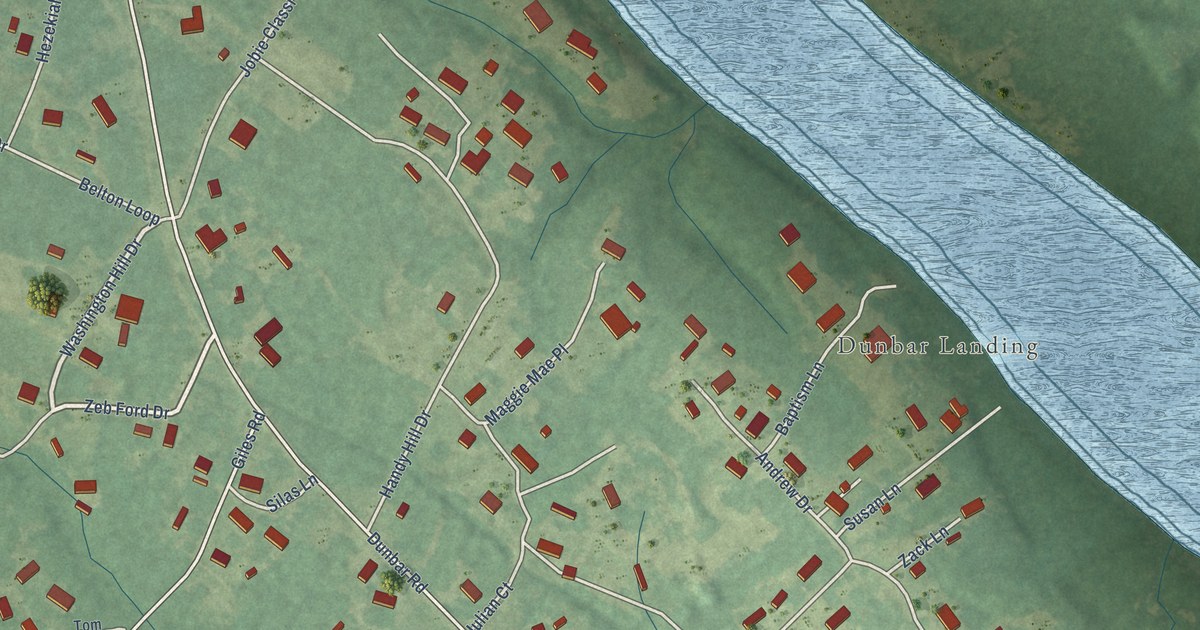
A detailed map of Dunbar, South Carolina, showing every building in its true location, the roads by name, and shaded topographical relief.
Read More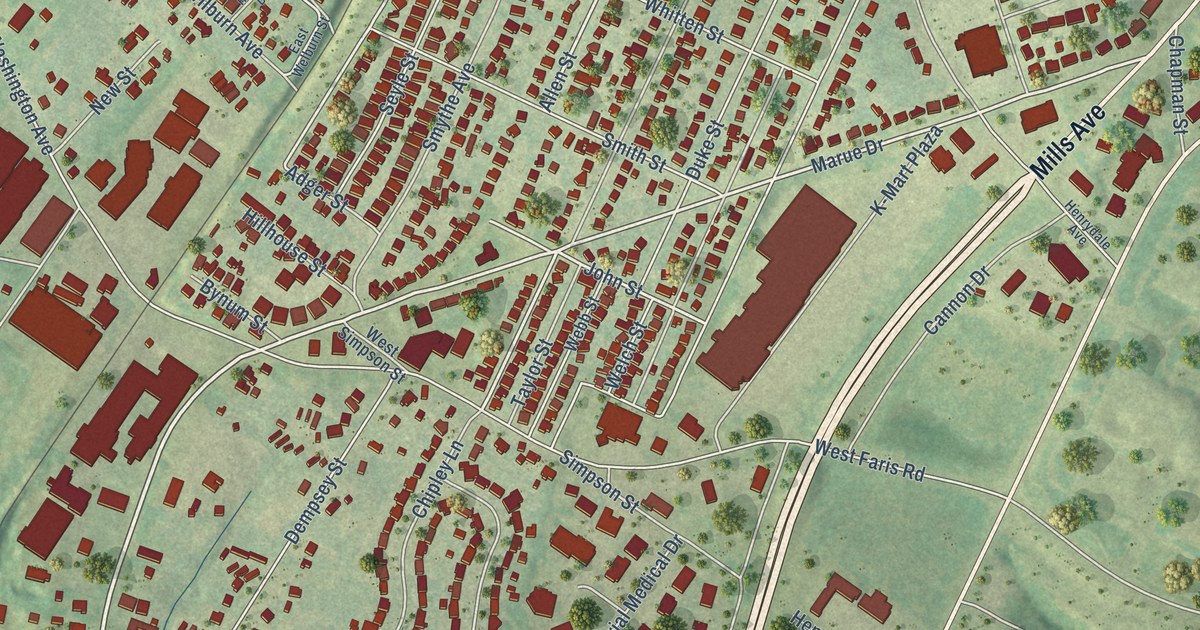
A detailed map of Dunean, South Carolina, showing every building in its true location, the roads by name, and shaded topographical relief.
Read More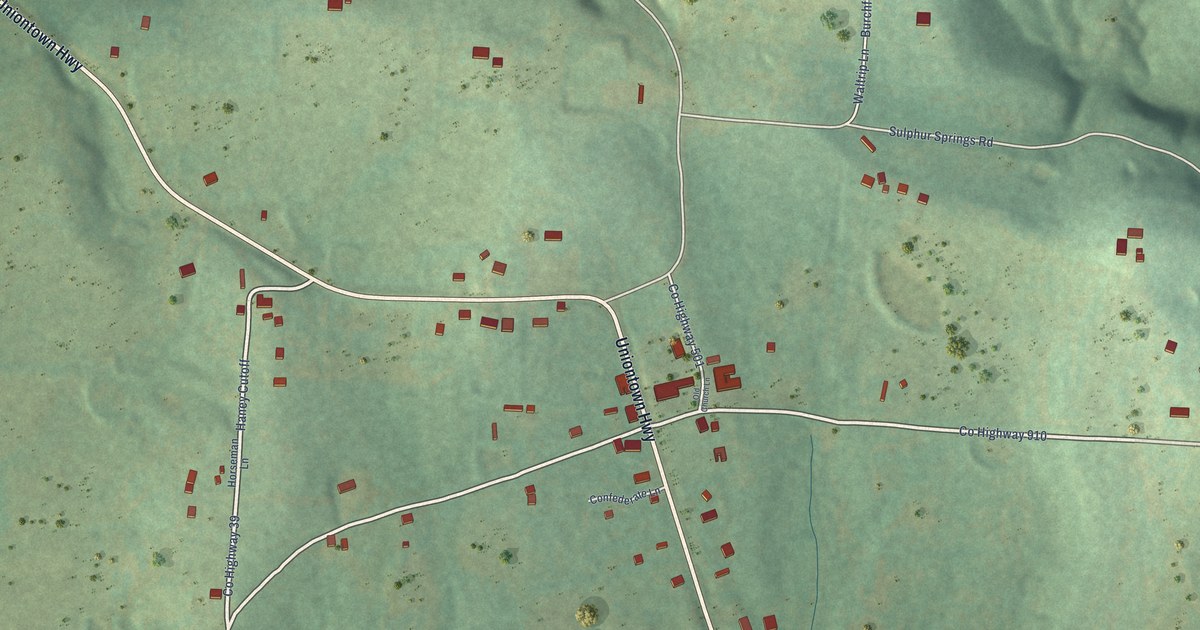
A detailed map of Uniontown, Arkansas, showing every building in its true location, the roads by name, and shaded topographical relief.
Read More
A detailed map of Drayton, South Carolina, showing every building in its true location, the roads by name, and shaded topographical relief.
Read More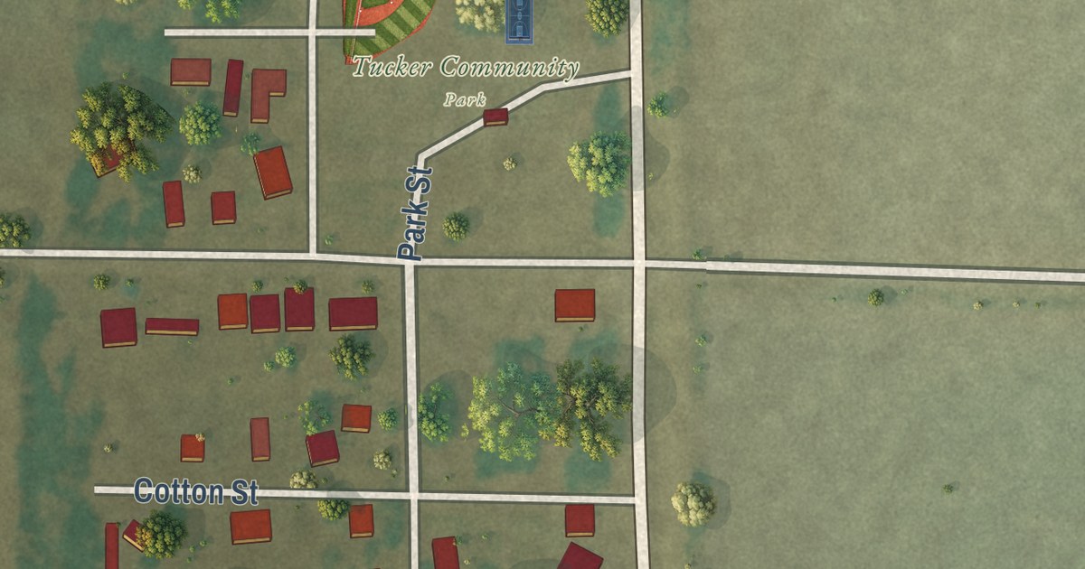
A detailed map of Tucker, Arkansas, showing every building in its true location, the roads by name, and shaded topographical relief.
Read More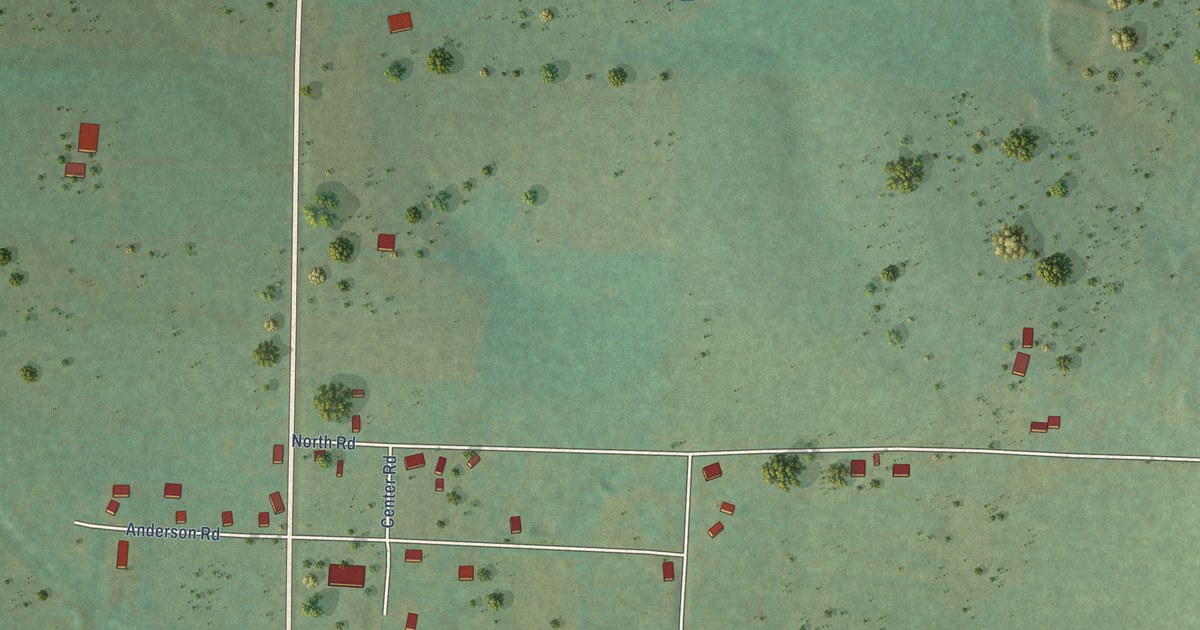
A detailed map of Summers, Arkansas, showing every building in its true location, the roads by name, and shaded topographical relief.
Read More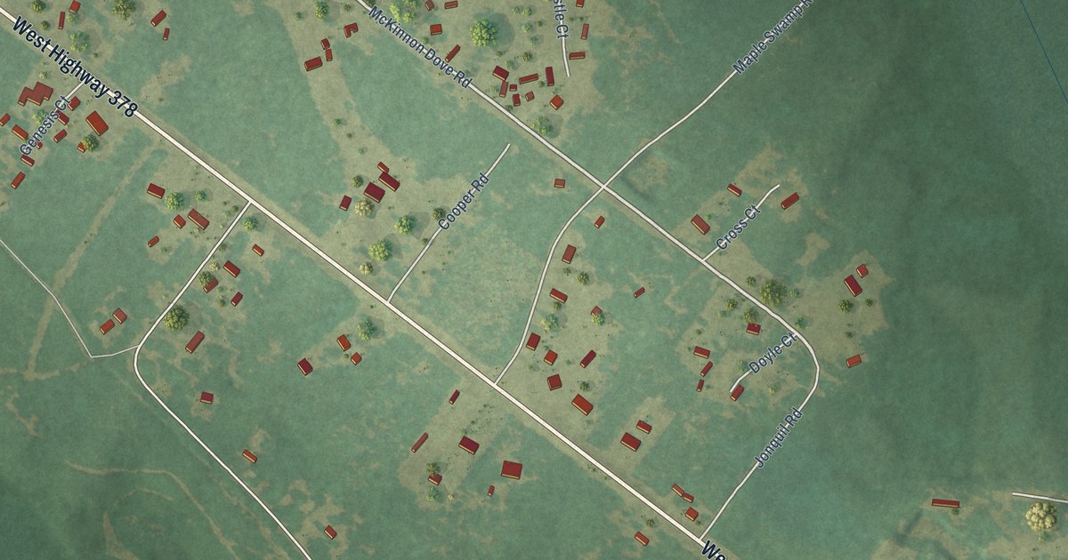
A detailed map of Daviston, South Carolina, showing every building in its true location, the roads by name, and shaded topographical relief.
Read More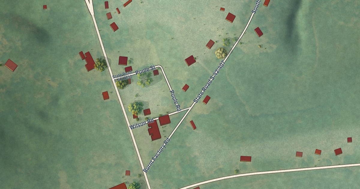
A detailed map of Cross Anchor, South Carolina, showing every building in its true location, the roads by name, and shaded topographical relief.
Read More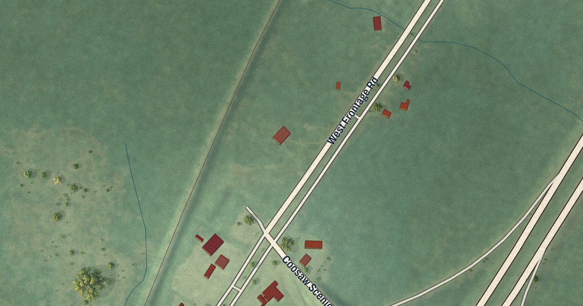
A detailed map of Coosawhatchie, South Carolina, showing every building in its true location, the roads by name, and shaded topographical relief.
Read More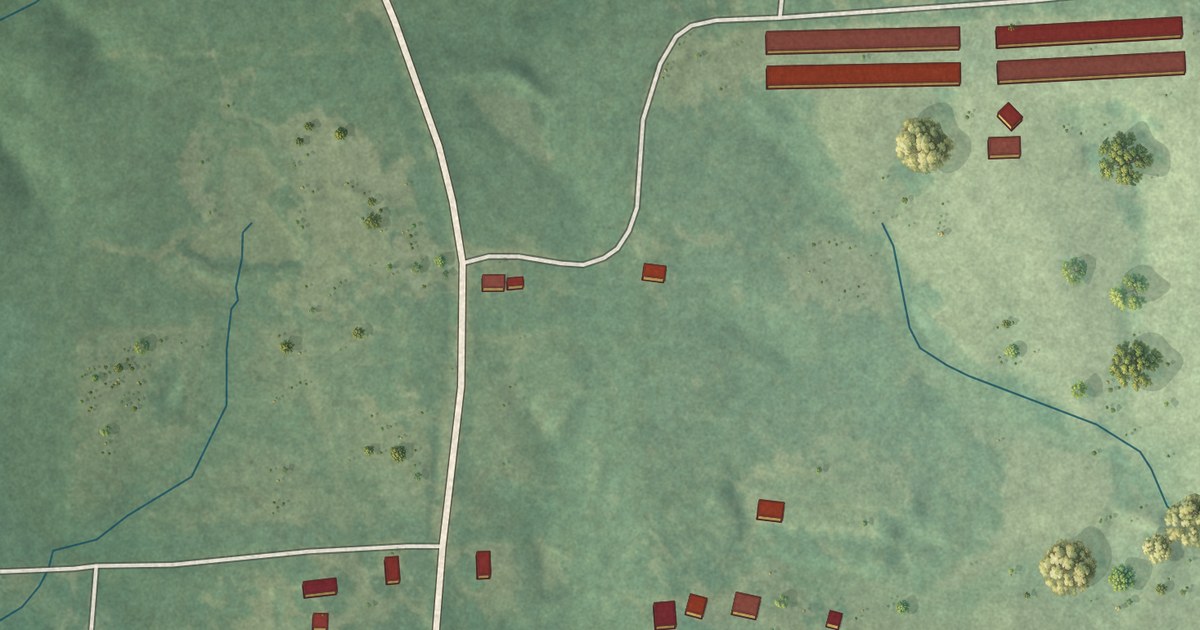
A detailed map of Staves, Arkansas, showing every building in its true location, the roads by name, and shaded topographical relief.
Read More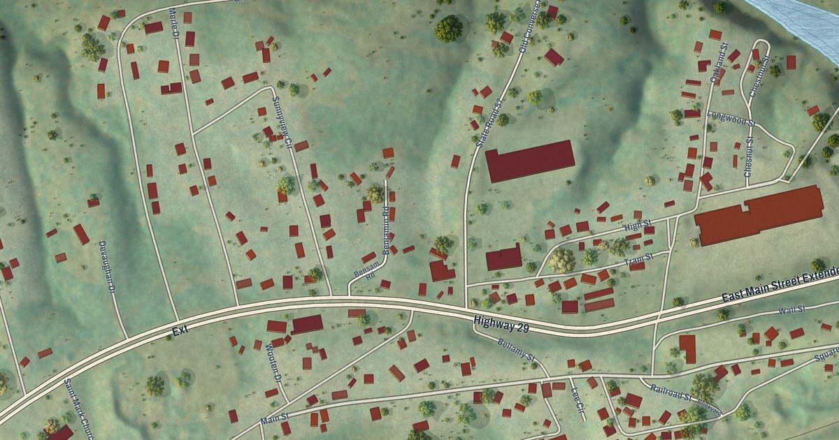
A detailed map of Converse, South Carolina, showing every building in its true location, the roads by name, and shaded topographical relief.
Read More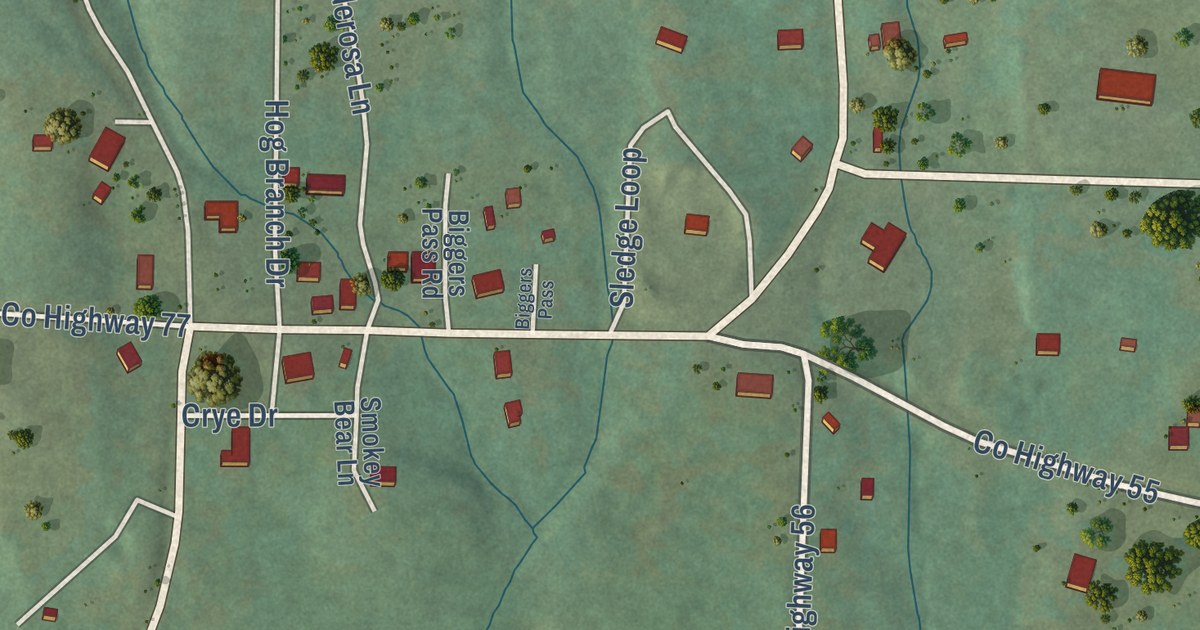
A detailed map of Springfield, Arkansas, showing every building in its true location, the roads by name, and shaded topographical relief.
Read More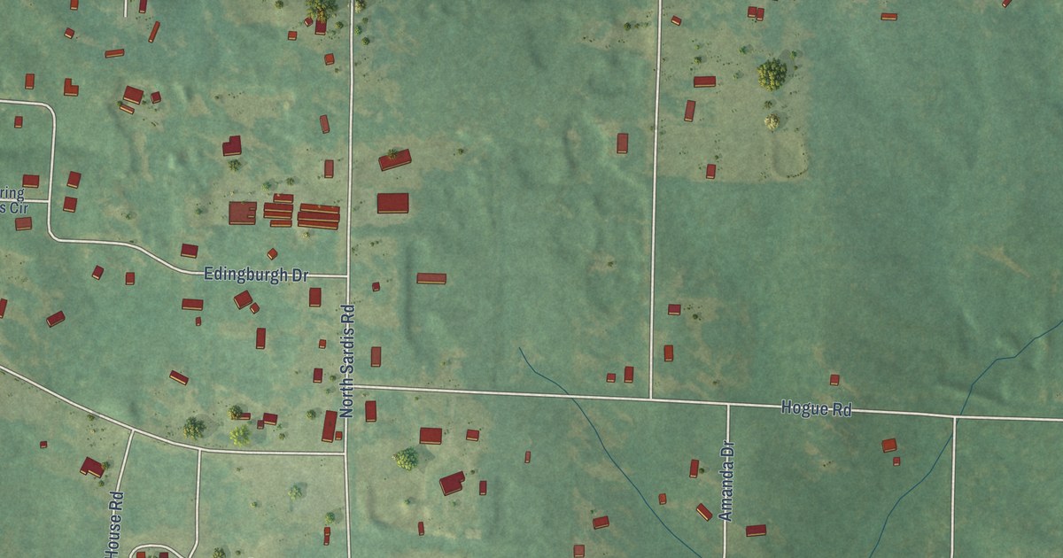
A detailed map of Sardis, Arkansas, showing every building in its true location, the roads by name, and shaded topographical relief.
Read More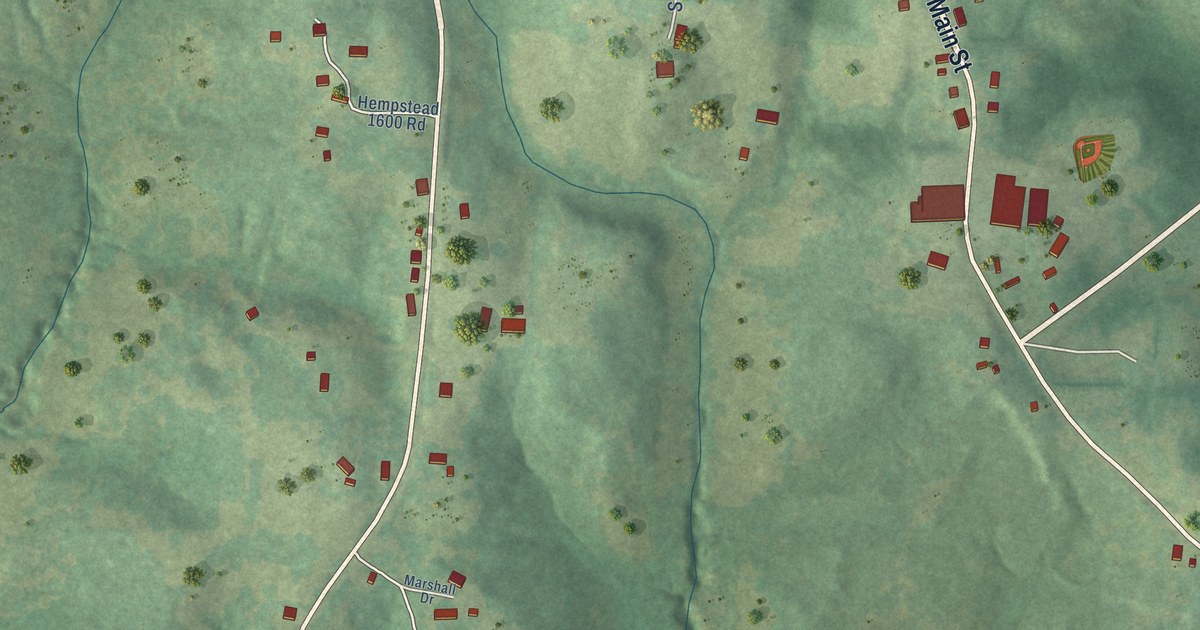
A detailed map of Saratoga, Arkansas, showing every building in its true location, the roads by name, and shaded topographical relief.
Read More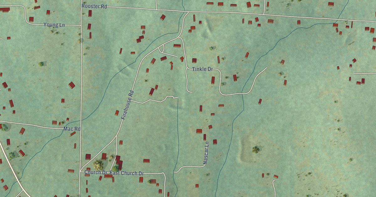
A detailed map of Salado, Arkansas, showing every building in its true location, the roads by name, and shaded topographical relief.
Read More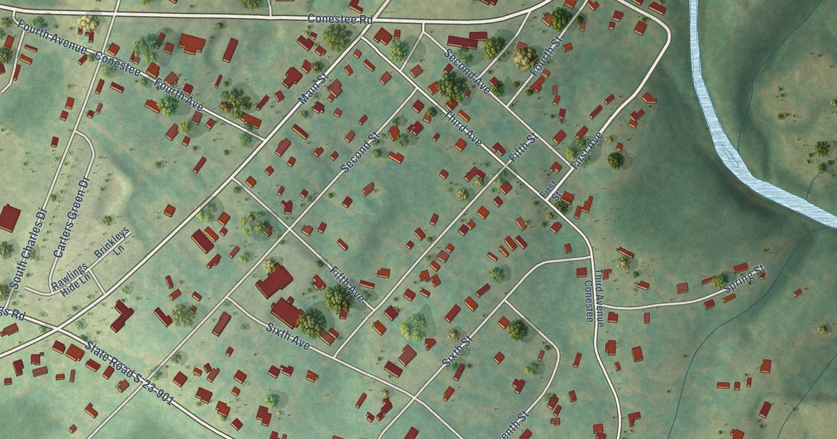
A detailed map of Conestee, South Carolina, showing every building in its true location, the roads by name, and shaded topographical relief.
Read More
A detailed map of Rivervale, Arkansas, showing every building in its true location, the roads by name, and shaded topographical relief.
Read More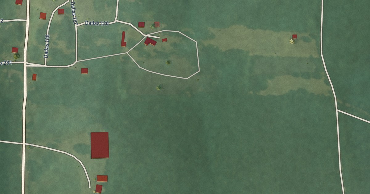
A detailed map of Princeton, Arkansas, showing every building in its true location, the roads by name, and shaded topographical relief.
Read More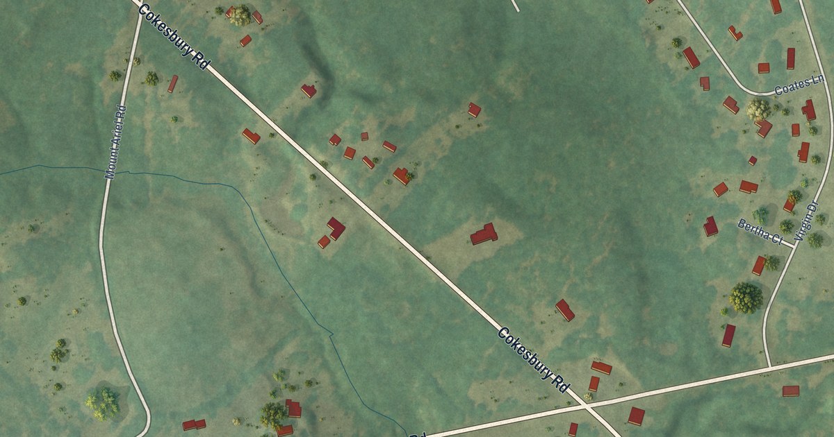
A detailed map of Cokesbury, South Carolina, showing every building in its true location, the roads by name, and shaded topographical relief.
Read More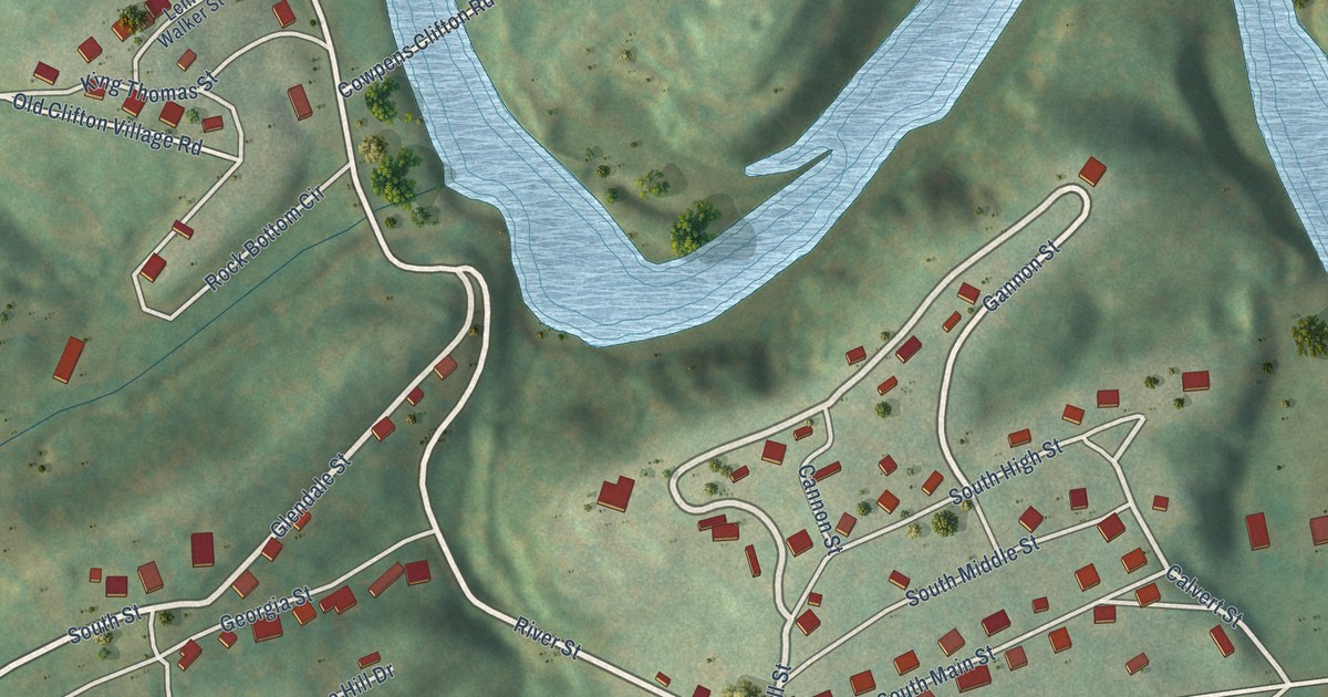
A detailed map of Clifton, South Carolina, showing every building in its true location, the roads by name, and shaded topographical relief.
Read More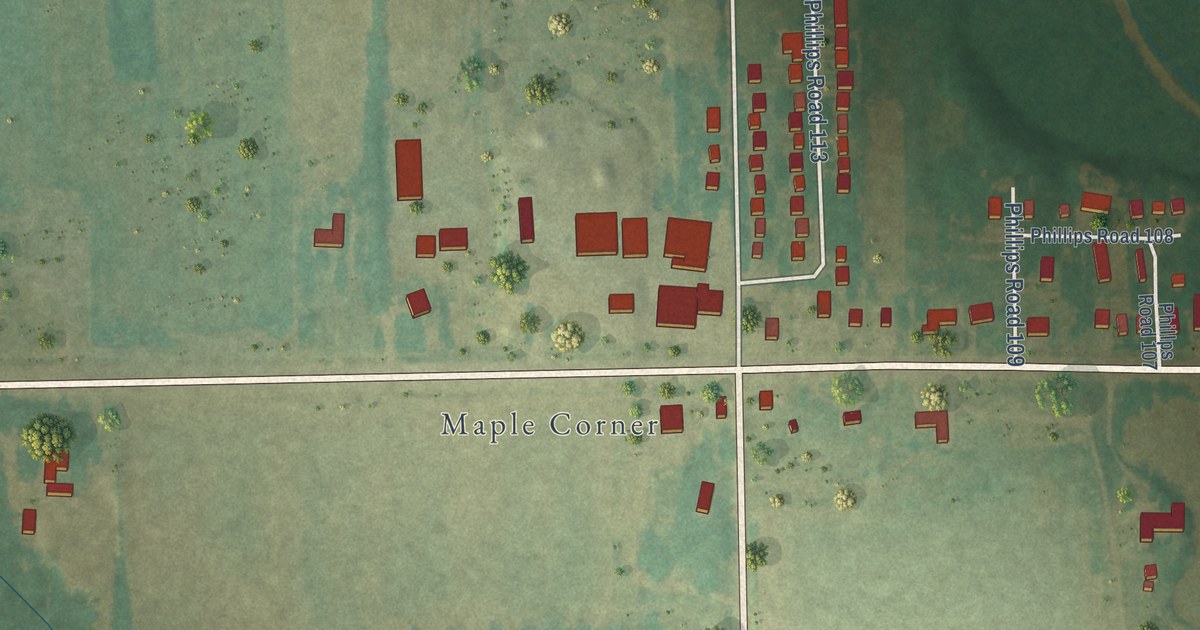
A detailed map of Poplar Grove, Arkansas, showing every building in its true location, the roads by name, and shaded topographical relief.
Read More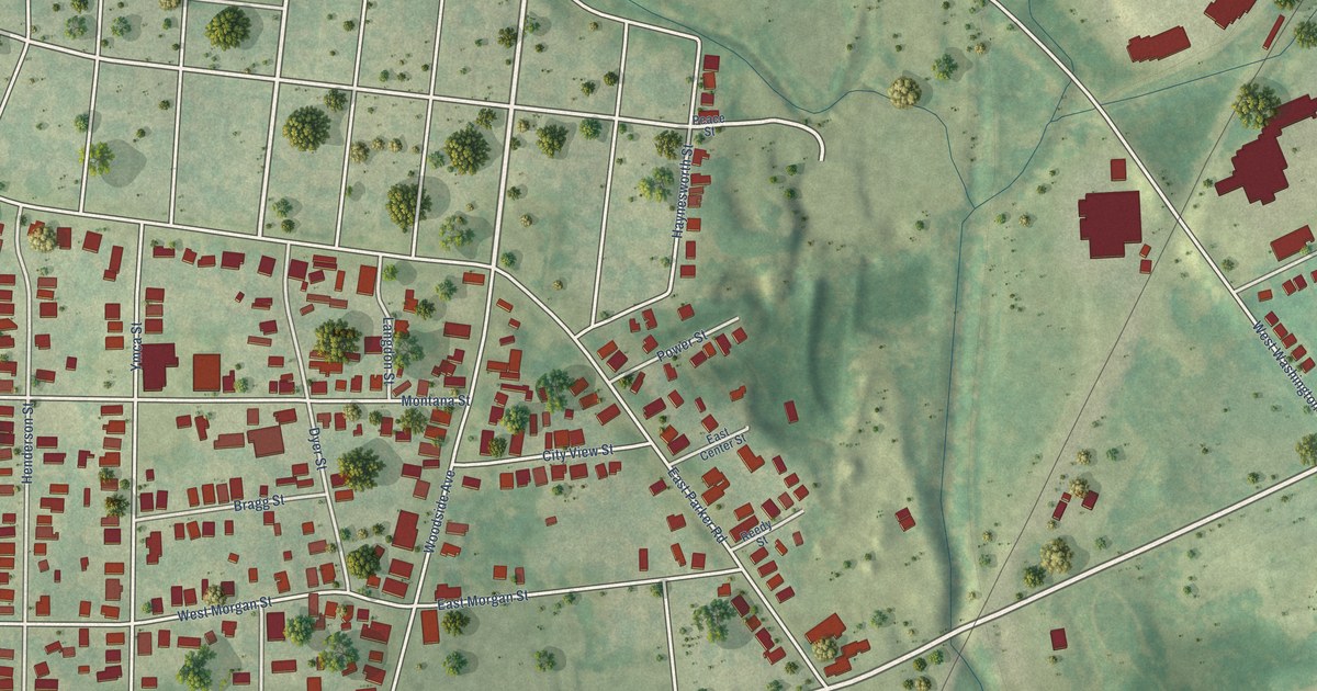
A detailed map of City View, South Carolina, showing every building in its true location, the roads by name, and shaded topographical relief.
Read More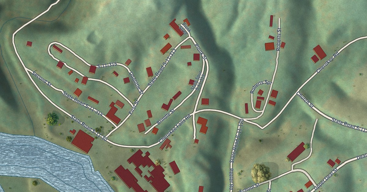
A detailed map of Cherokee Falls, South Carolina, showing every building in its true location, the roads by name, and shaded topographical relief.
Read More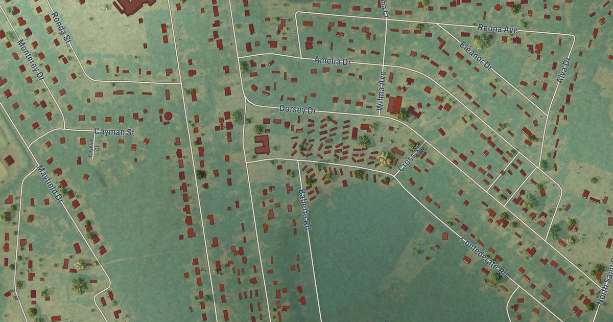
A detailed map of Cherryvale, South Carolina, showing every building in its true location, the roads by name, and shaded topographical relief.
Read More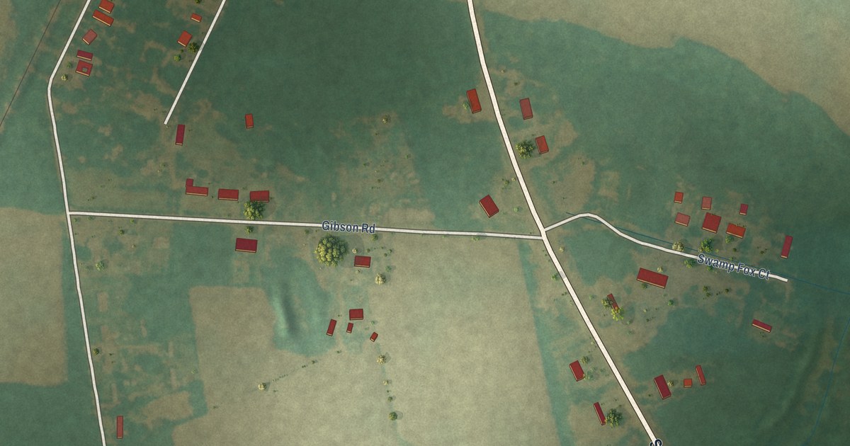
A detailed map of Centenary, South Carolina, showing every building in its true location, the roads by name, and shaded topographical relief.
Read More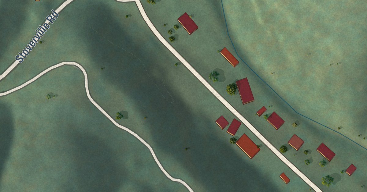
A detailed map of Ponca, Arkansas, showing every building in its true location, the roads by name, and shaded topographical relief.
Read More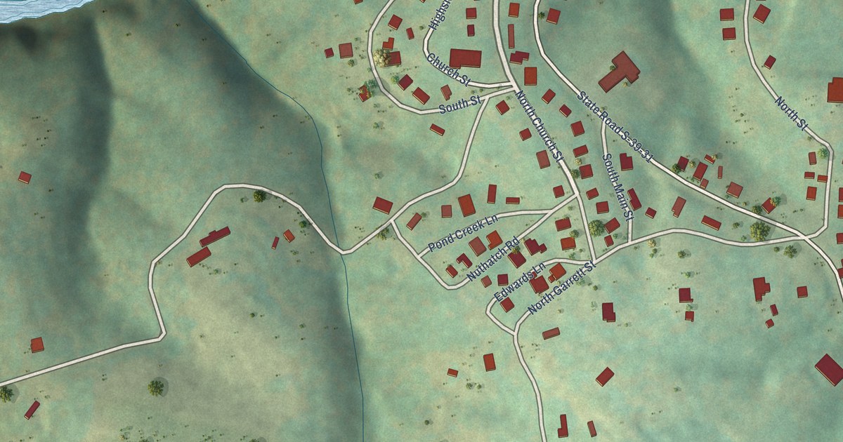
A detailed map of Cateechee, South Carolina, showing every building in its true location, the roads by name, and shaded topographical relief.
Read More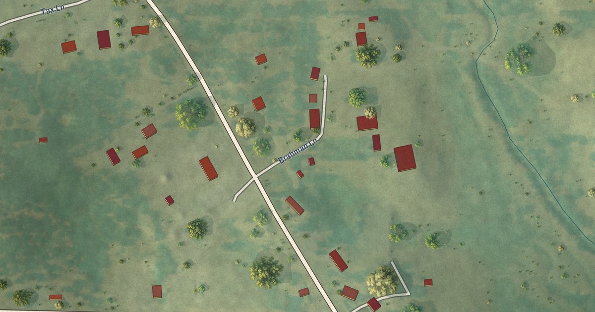
A detailed map of Pencil Bluff, Arkansas, showing every building in its true location, the roads by name, and shaded topographical relief.
Read More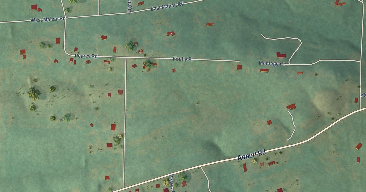
A detailed map of Pearcy, Arkansas, showing every building in its true location, the roads by name, and shaded topographical relief.
Read More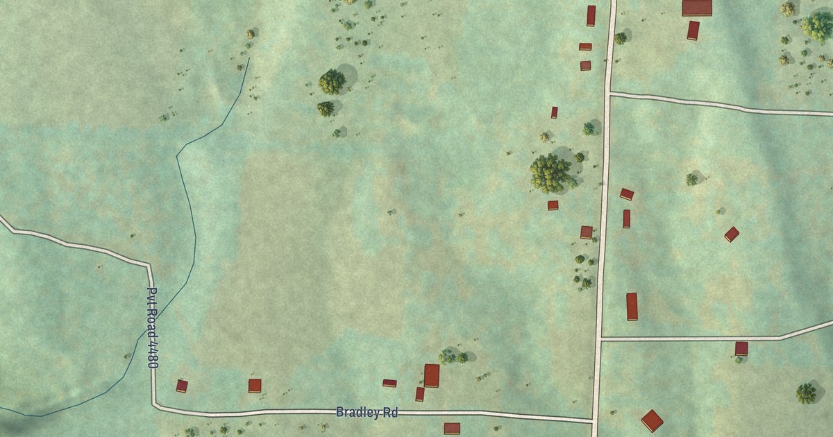
A detailed map of Ozone, Arkansas, showing every building in its true location, the roads by name, and shaded topographical relief.
Read More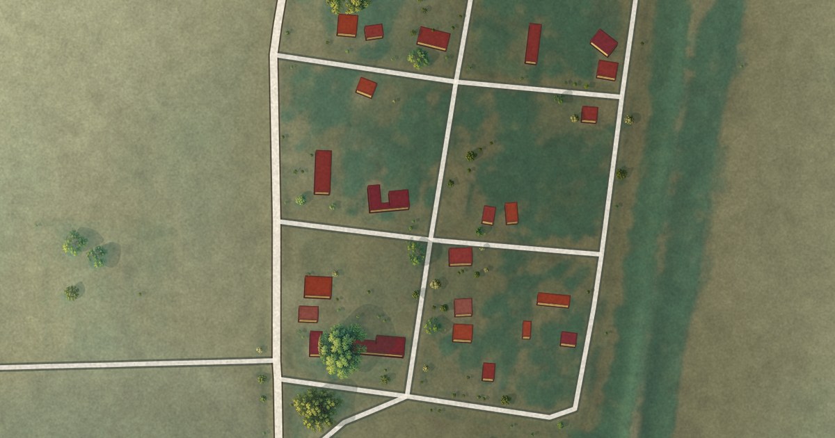
A detailed map of Oneida, Arkansas, showing every building in its true location, the roads by name, and shaded topographical relief.
Read More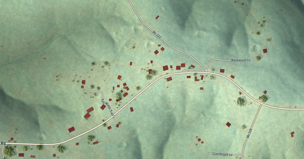
A detailed map of Oakland, Arkansas, showing every building in its true location, the roads by name, and shaded topographical relief.
Read More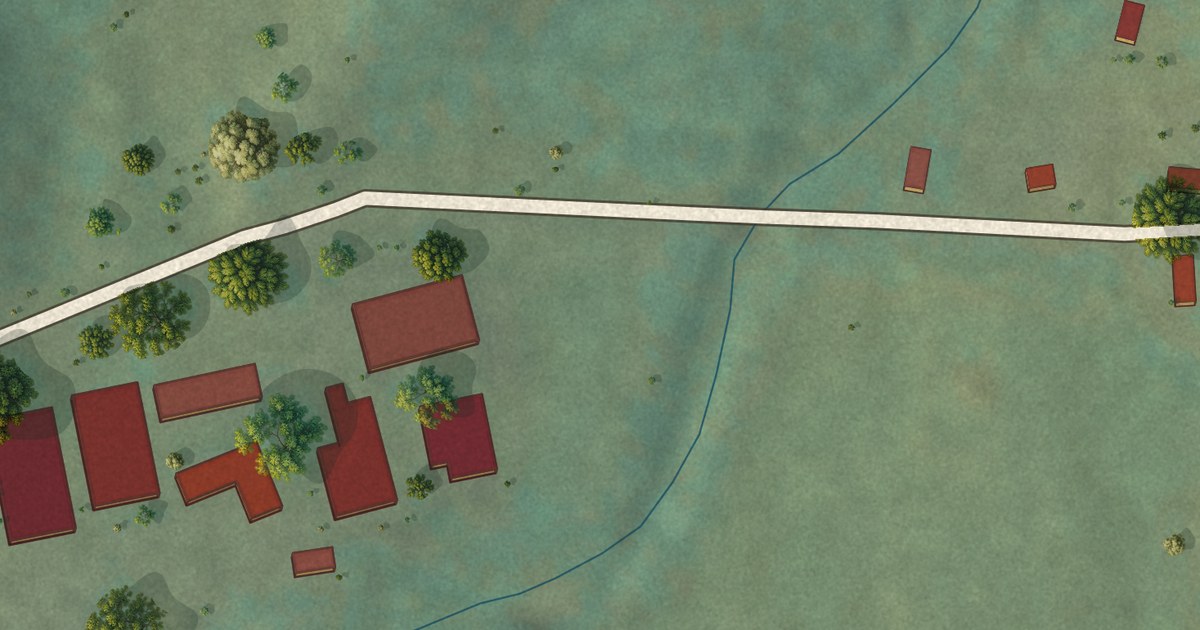
A detailed map of Oark, Arkansas, showing every building in its true location, the roads by name, and shaded topographical relief.
Read More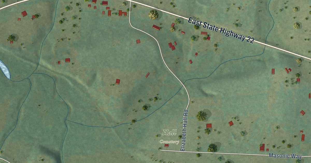
A detailed map of New Blaine, Arkansas, showing every building in its true location, the roads by name, and shaded topographical relief.
Read More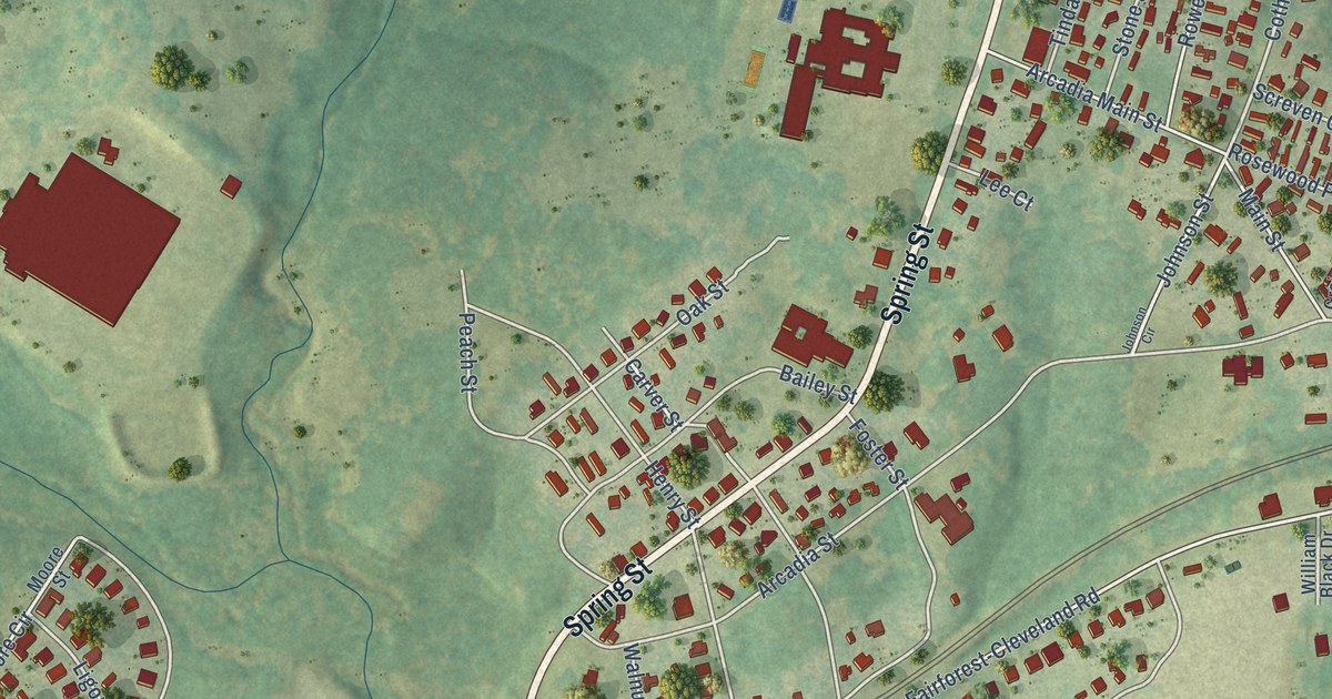
A detailed map of Arcadia, South Carolina, showing every building in its true location, the roads by name, and shaded topographical relief.
Read More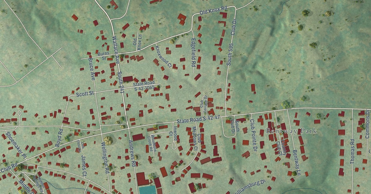
A detailed map of Ben Avon, South Carolina, showing every building in its true location, the roads by name, and shaded topographical relief.
Read More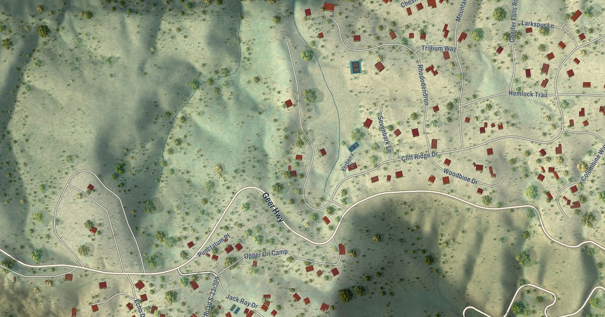
A detailed map of Caesars Head, South Carolina, showing every building in its true location, the roads by name, and shaded topographical relief.
Read More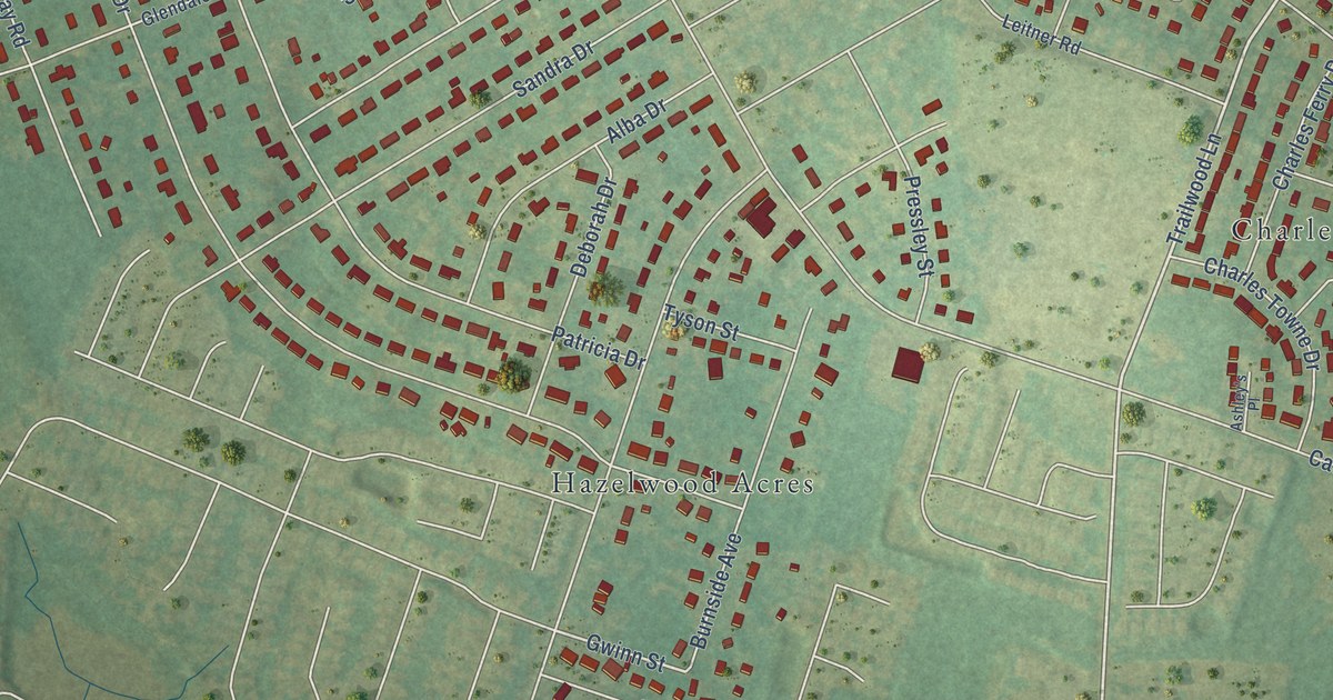
A detailed map of Capitol View, South Carolina, showing every building in its true location, the roads by name, and shaded topographical relief.
Read More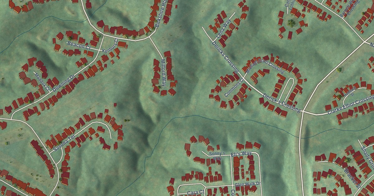
A detailed map of Baxter Village, South Carolina, showing every building in its true location, the roads by name, and shaded topographical relief.
Read More















