Detailed Map of Cash, South Carolina
A detailed map of Cash, South Carolina, showing every building in its true location, the roads by name, and shaded topographical relief.
Read More
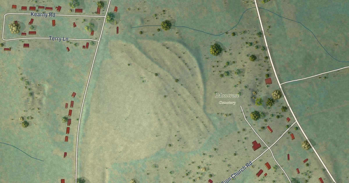
A detailed map of Cash, South Carolina, showing every building in its true location, the roads by name, and shaded topographical relief.
Read More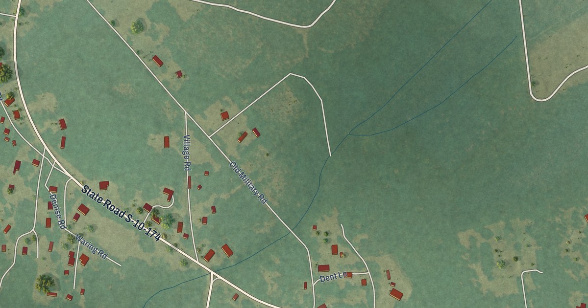
A detailed map of Adams Run, South Carolina, showing every building in its true location, the roads by name, and shaded topographical relief.
Read More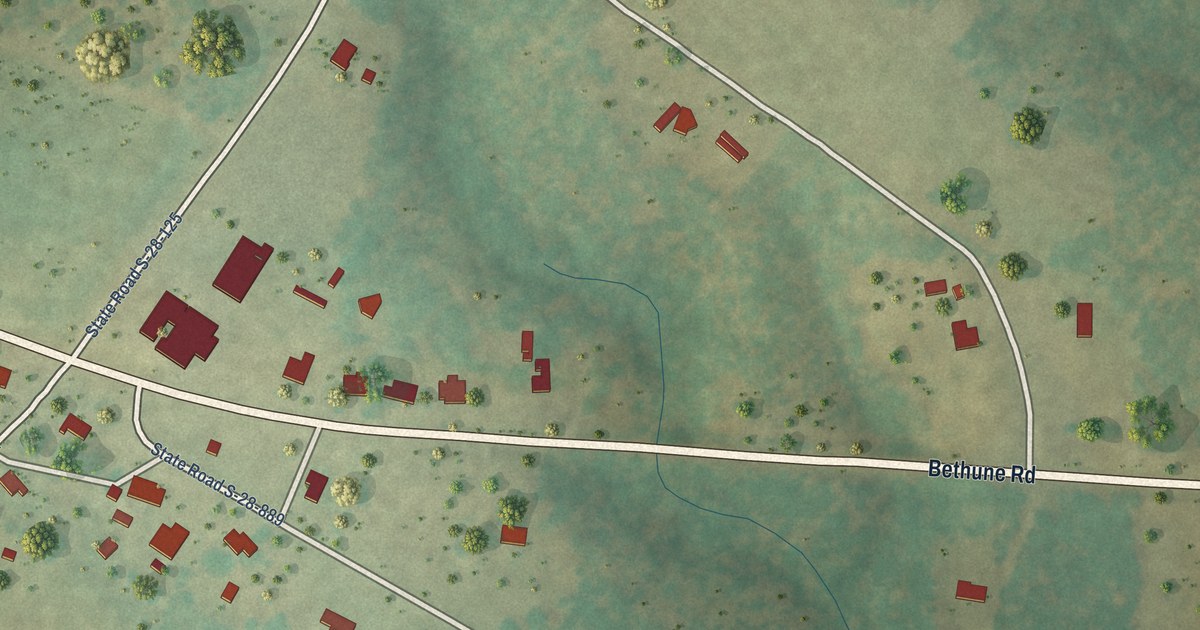
A detailed map of Abney Crossroads, South Carolina, showing every building in its true location, the roads by name, and shaded topographical relief.
Read More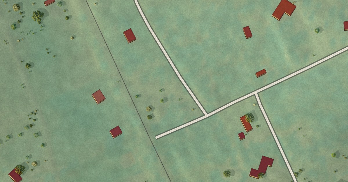
A detailed map of Mount Olive, Arkansas, showing every building in its true location, the roads by name, and shaded topographical relief.
Read More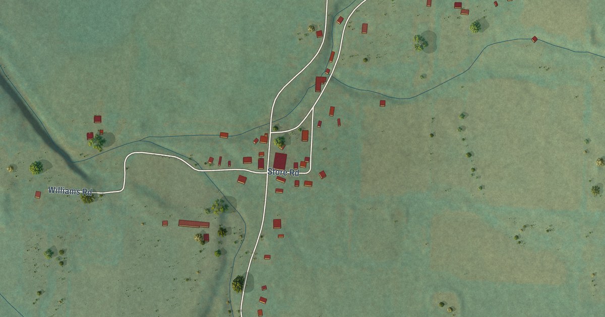
A detailed map of Morrow, Arkansas, showing every building in its true location, the roads by name, and shaded topographical relief.
Read More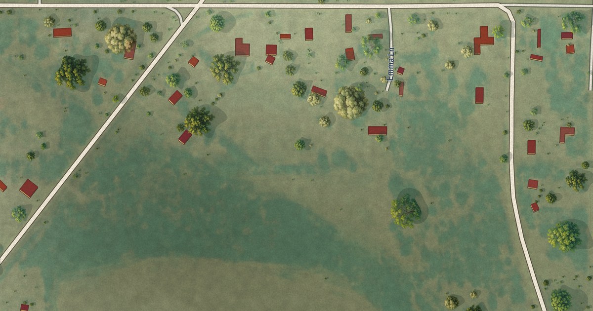
A detailed map of Monroe, Arkansas, showing every building in its true location, the roads by name, and shaded topographical relief.
Read More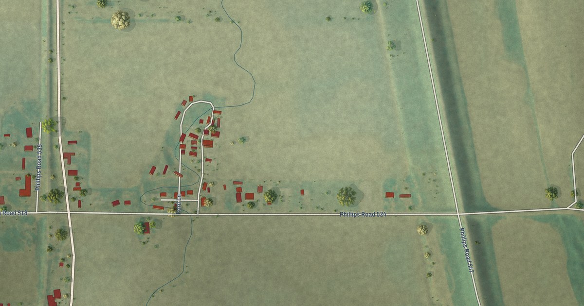
A detailed map of Mellwood, Arkansas, showing every building in its true location, the roads by name, and shaded topographical relief.
Read More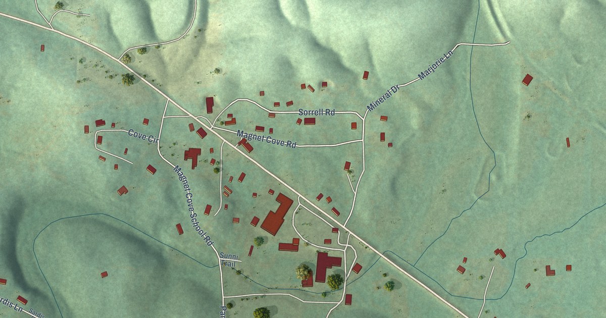
A detailed map of Magnet Cove, Arkansas, showing every building in its true location, the roads by name, and shaded topographical relief.
Read More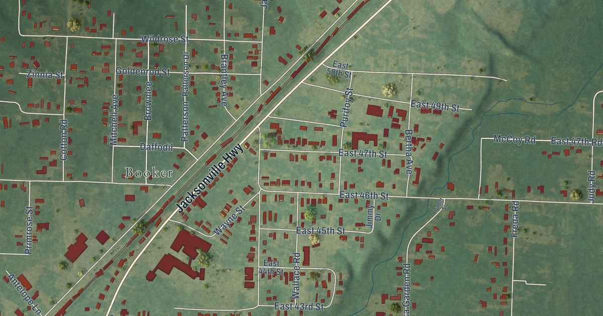
A detailed map of McAlmont, Arkansas, showing every building in its true location, the roads by name, and shaded topographical relief.
Read More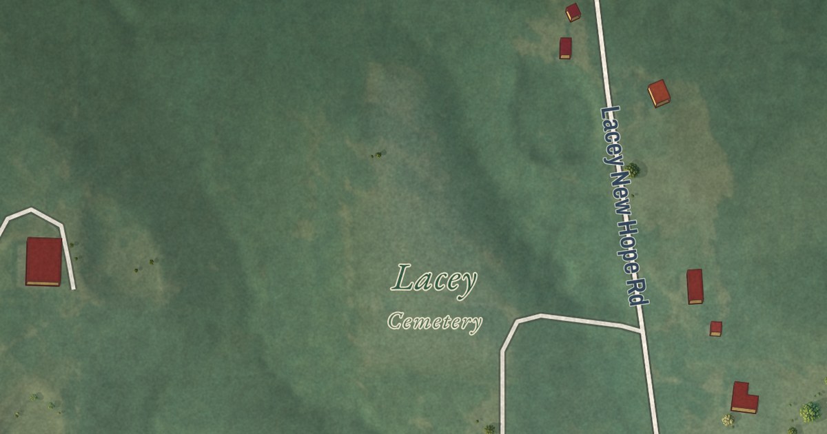
A detailed map of Lacey, Arkansas, showing every building in its true location, the roads by name, and shaded topographical relief.
Read More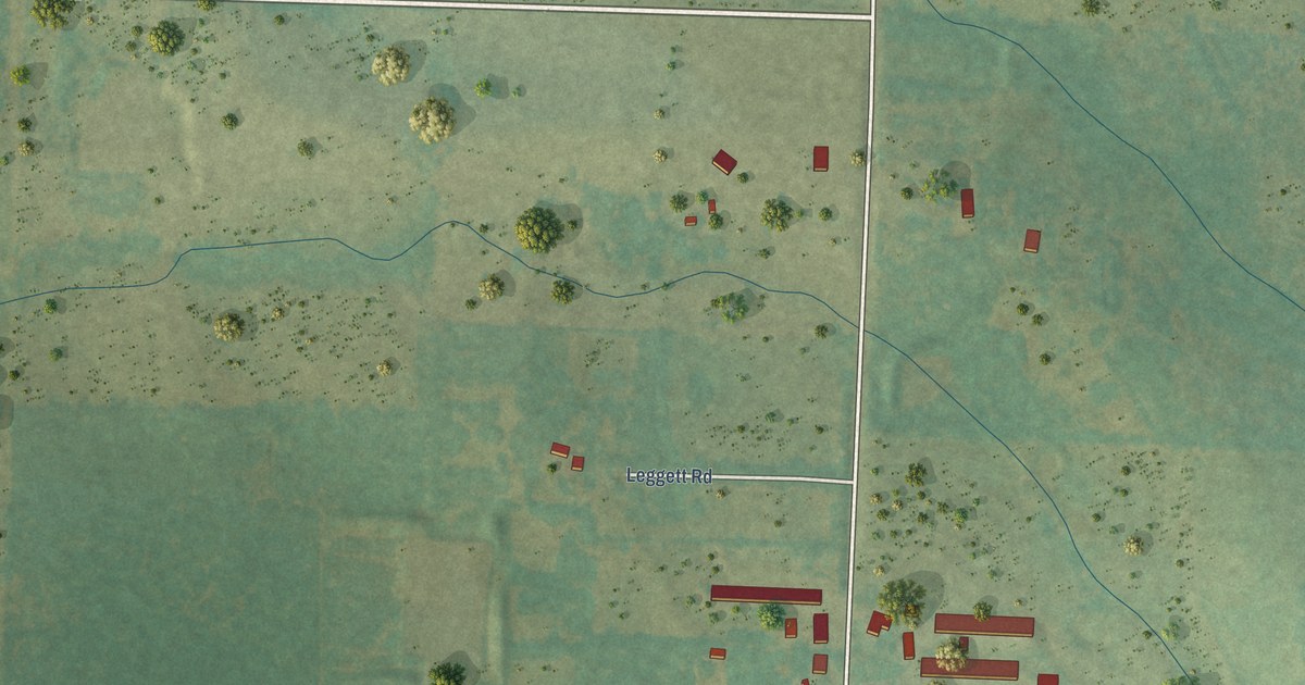
A detailed map of Jerusalem, Arkansas, showing every building in its true location, the roads by name, and shaded topographical relief.
Read More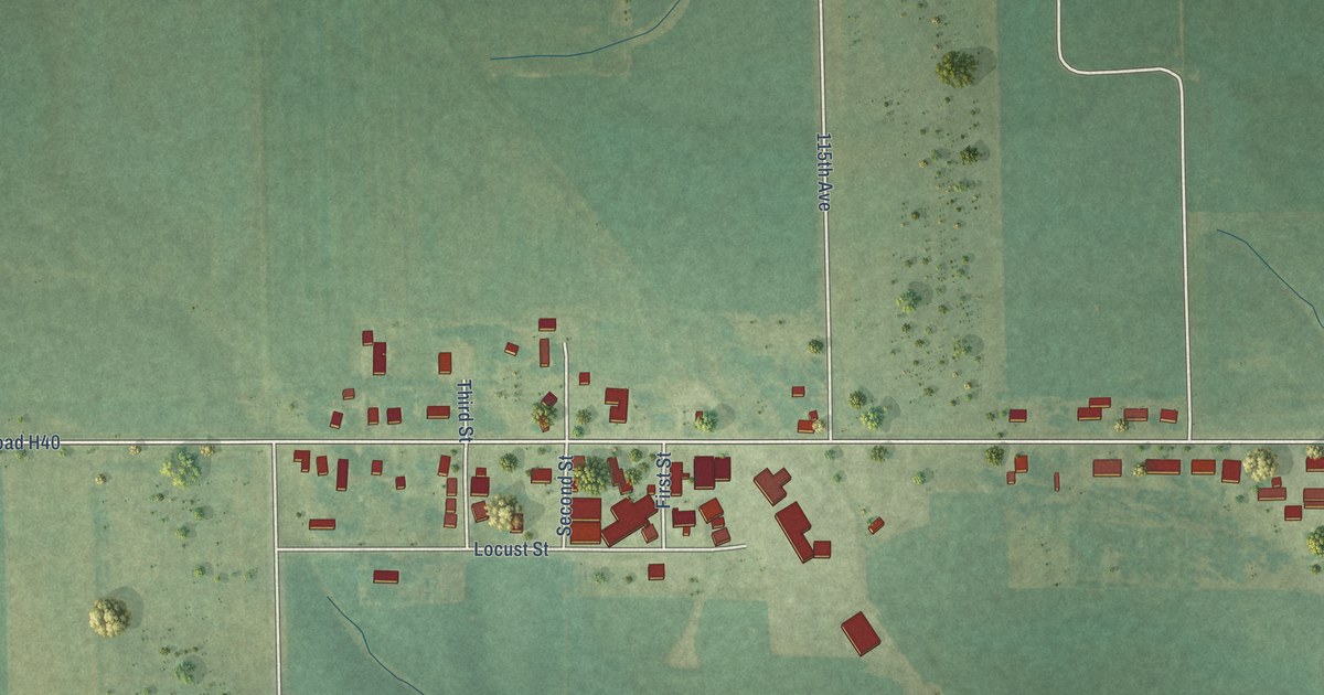
A detailed map of Sperry, Iowa, showing every building in its true location, the roads by name, and shaded topographical relief.
Read More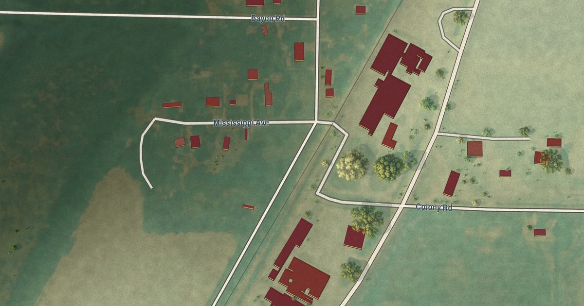
A detailed map of Jerome, Arkansas, showing every building in its true location, the roads by name, and shaded topographical relief.
Read More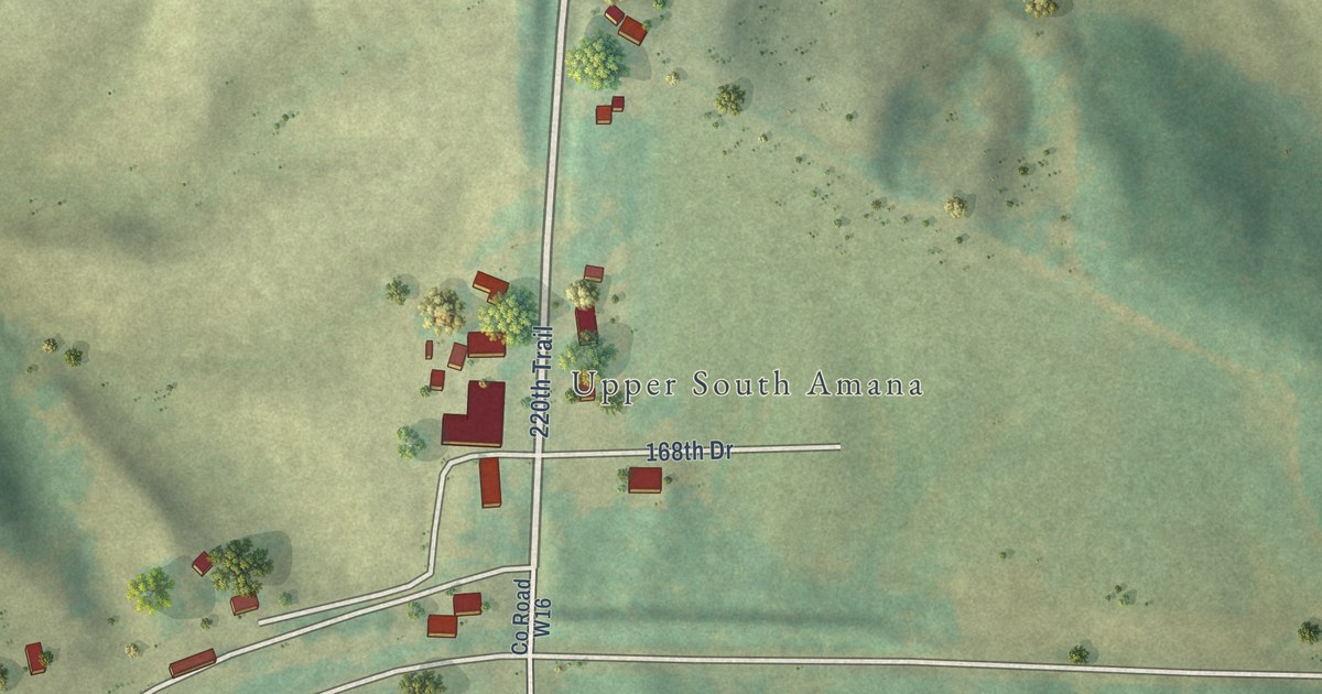
A detailed map of South Amana, Iowa, showing every building in its true location, the roads by name, and shaded topographical relief.
Read More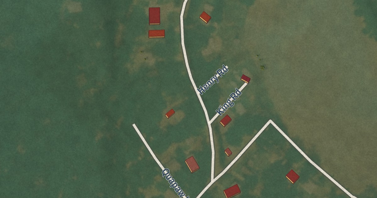
A detailed map of Indian Bay, Arkansas, showing every building in its true location, the roads by name, and shaded topographical relief.
Read More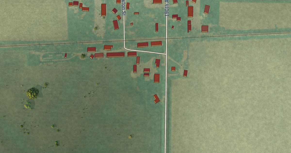
A detailed map of Sexton, Iowa, showing every building in its true location, the roads by name, and shaded topographical relief.
Read More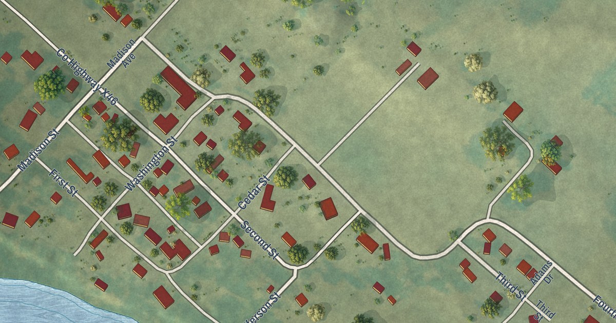
A detailed map of Rochester, Iowa, showing every building in its true location, the roads by name, and shaded topographical relief.
Read More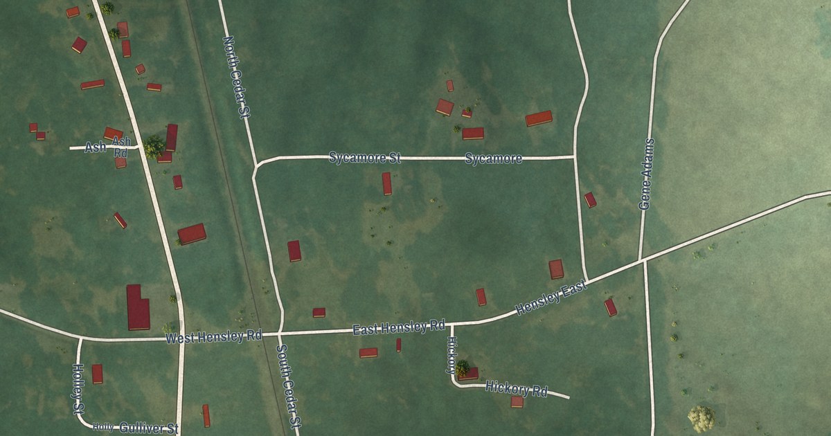
A detailed map of Hensley, Arkansas, showing every building in its true location, the roads by name, and shaded topographical relief.
Read More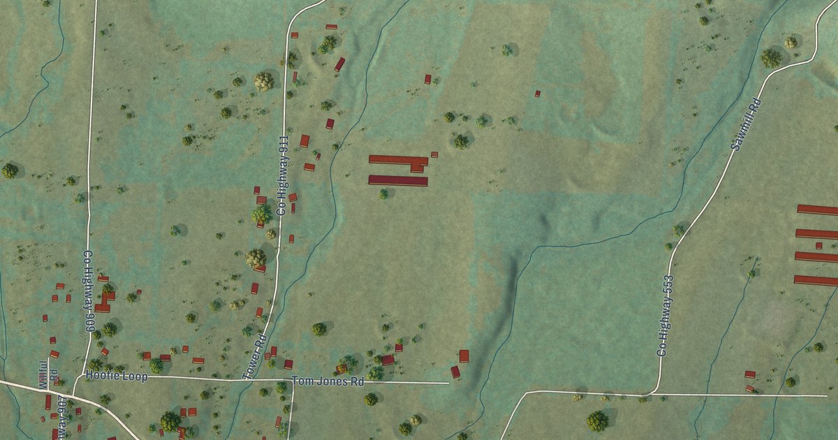
A detailed map of Hattieville, Arkansas, showing every building in its true location, the roads by name, and shaded topographical relief.
Read More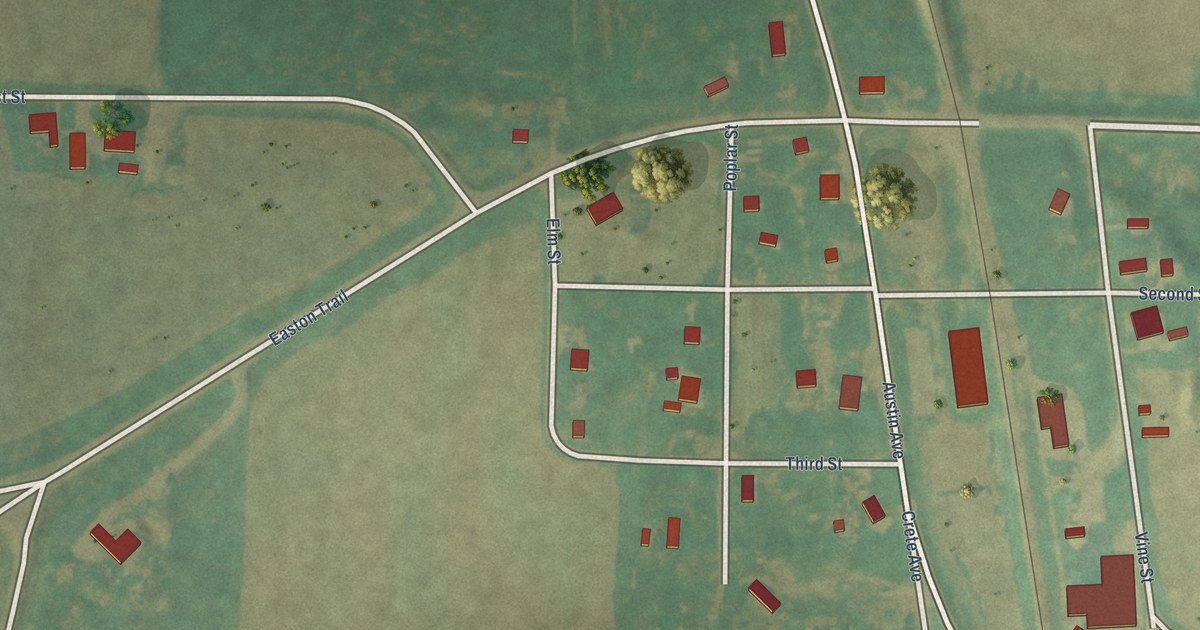
A detailed map of River Sioux, Iowa, showing every building in its true location, the roads by name, and shaded topographical relief.
Read More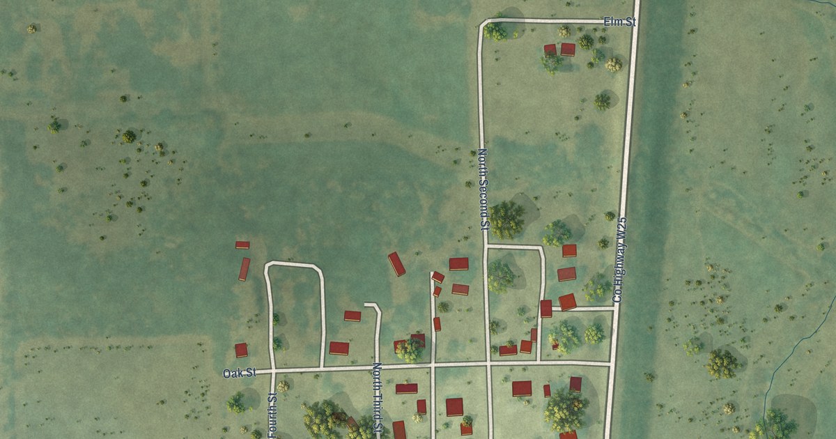
A detailed map of Randalia, Iowa, showing every building in its true location, the roads by name, and shaded topographical relief.
Read More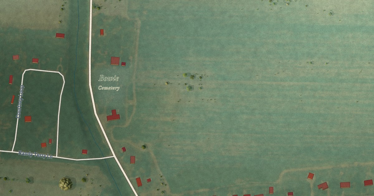
A detailed map of Halley, Arkansas, showing every building in its true location, the roads by name, and shaded topographical relief.
Read More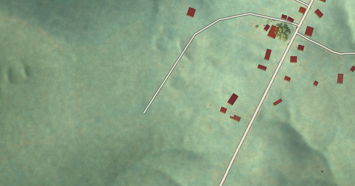
A detailed map of Gamaliel, Arkansas, showing every building in its true location, the roads by name, and shaded topographical relief.
Read More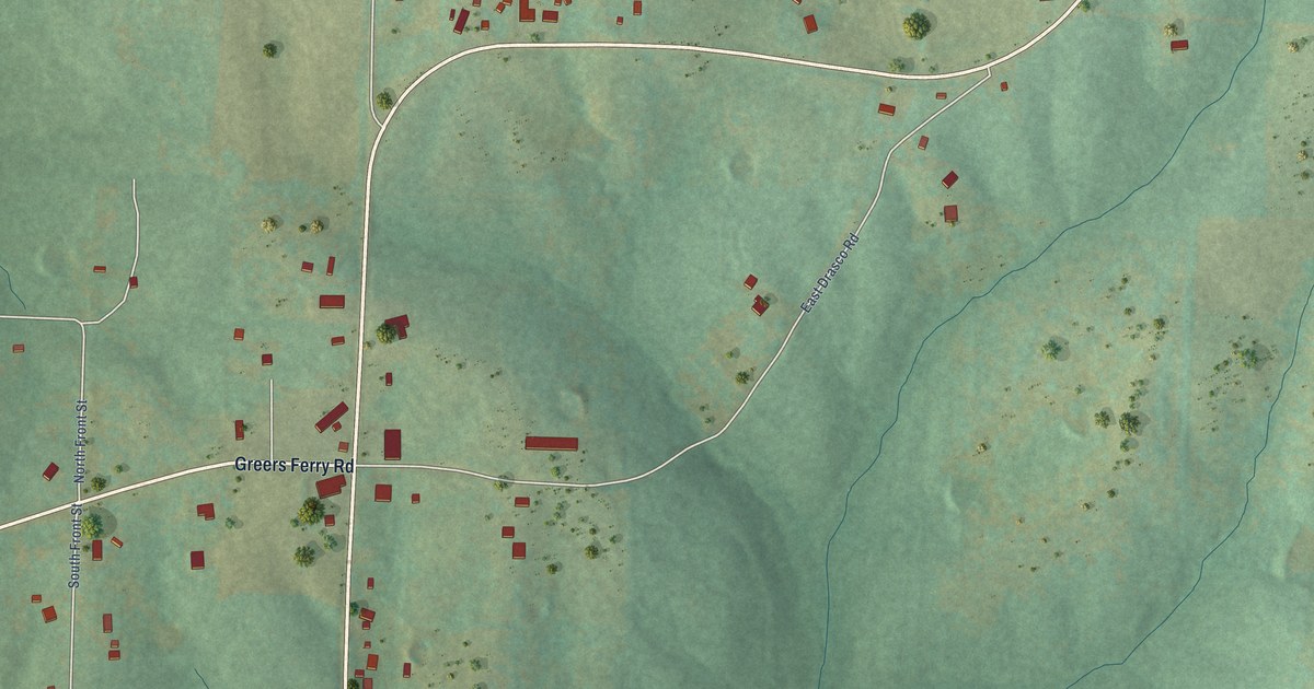
A detailed map of Drasco, Arkansas, showing every building in its true location, the roads by name, and shaded topographical relief.
Read More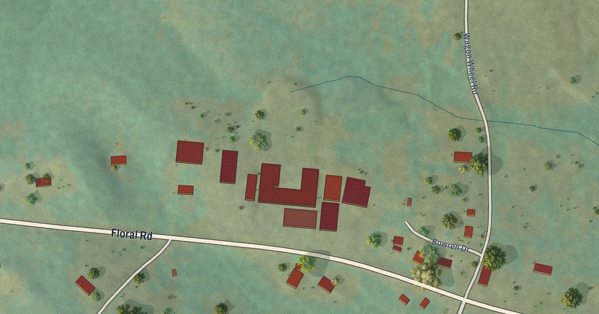
A detailed map of Floral, Arkansas, showing every building in its true location, the roads by name, and shaded topographical relief.
Read More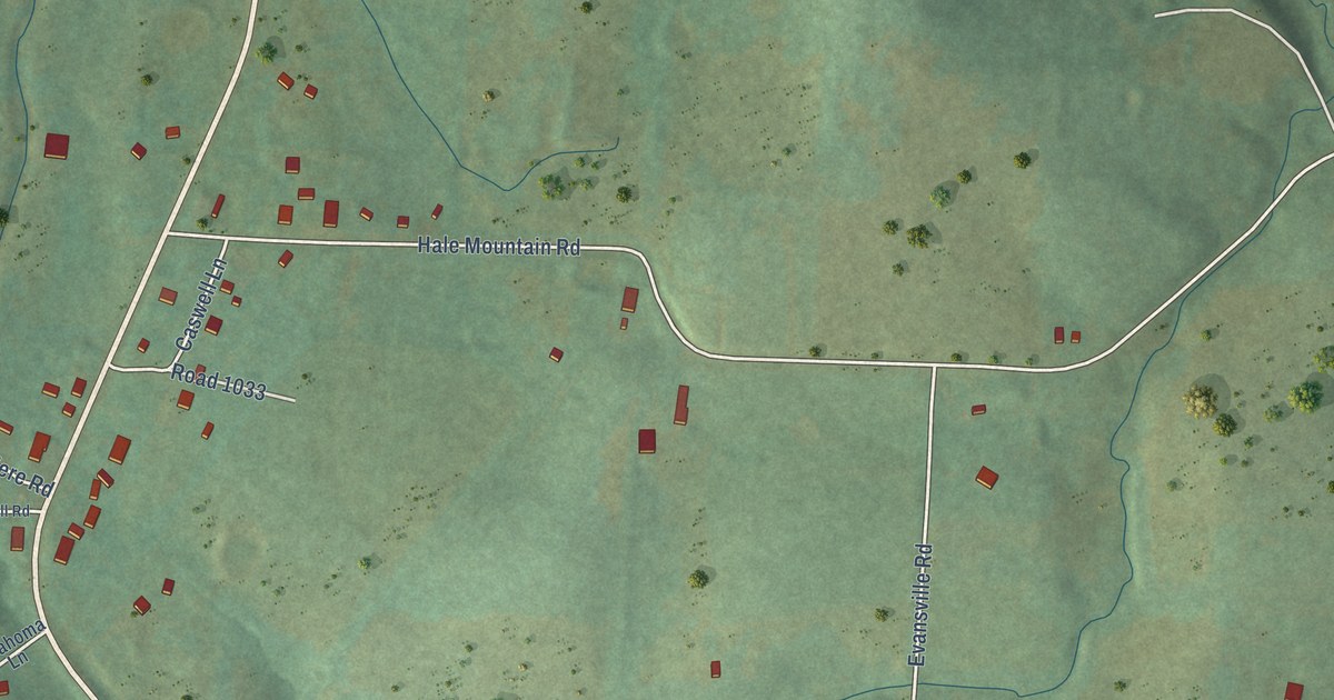
A detailed map of Evansville, Arkansas, showing every building in its true location, the roads by name, and shaded topographical relief.
Read More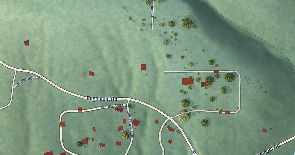
A detailed map of Edgemont, Arkansas, showing every building in its true location, the roads by name, and shaded topographical relief.
Read More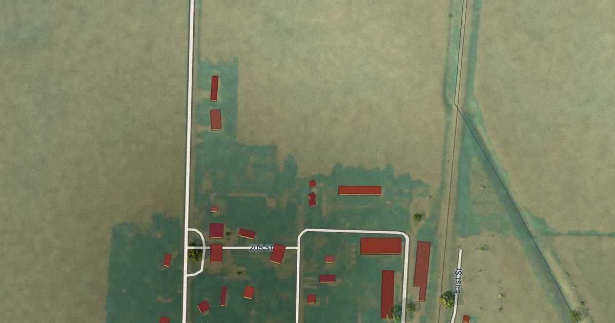
A detailed map of Percival, Iowa, showing every building in its true location, the roads by name, and shaded topographical relief.
Read More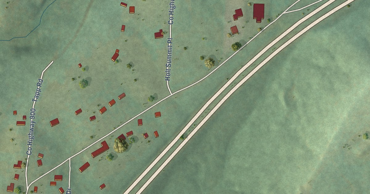
A detailed map of Dora, Arkansas, showing every building in its true location, the roads by name, and shaded topographical relief.
Read More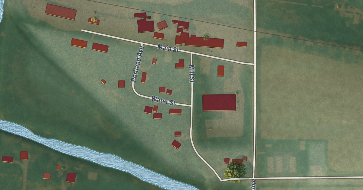
A detailed map of Portland, Iowa, showing every building in its true location, the roads by name, and shaded topographical relief.
Read More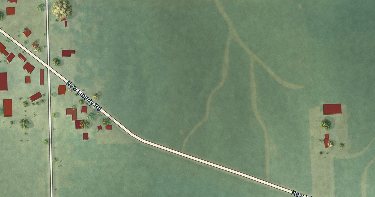
A detailed map of Plainview, Iowa, showing every building in its true location, the roads by name, and shaded topographical relief.
Read More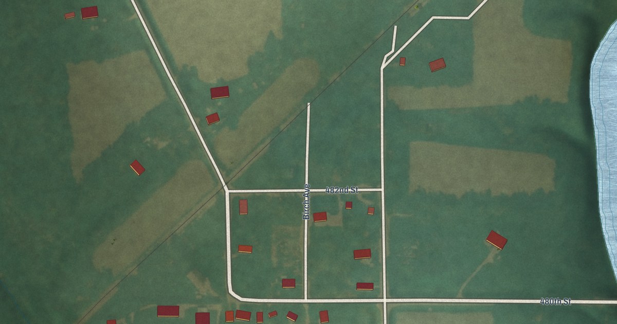
A detailed map of Otranto, Iowa, showing every building in its true location, the roads by name, and shaded topographical relief.
Read More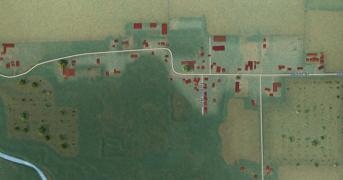
A detailed map of New Haven, Iowa, showing every building in its true location, the roads by name, and shaded topographical relief.
Read More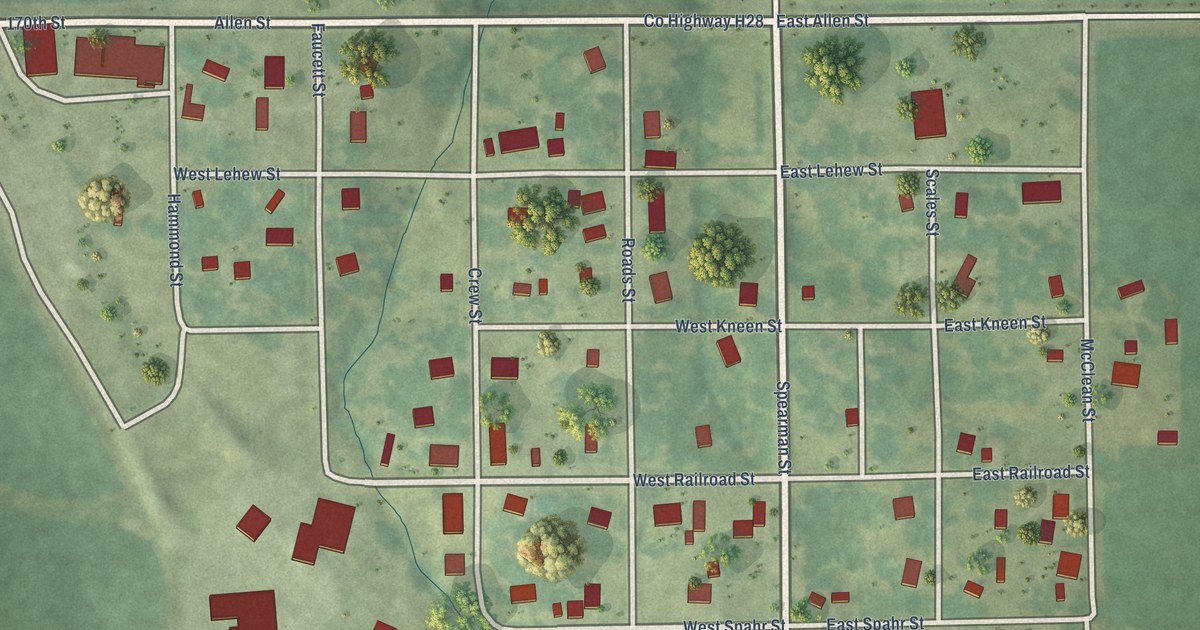
A detailed map of Mount Union, Iowa, showing every building in its true location, the roads by name, and shaded topographical relief.
Read More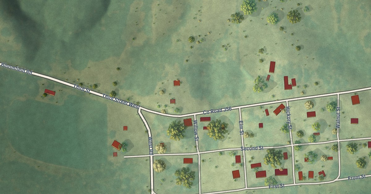
A detailed map of Mount Sterling, Iowa, showing every building in its true location, the roads by name, and shaded topographical relief.
Read More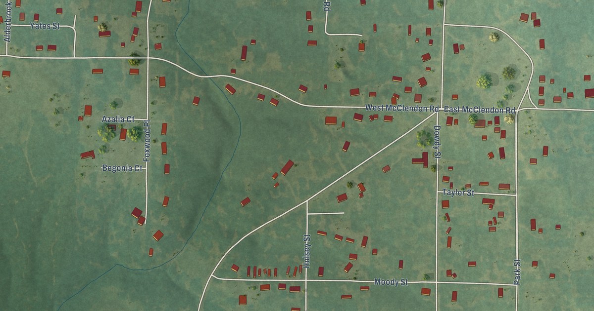
A detailed map of Desha, Arkansas, showing every building in its true location, the roads by name, and shaded topographical relief.
Read More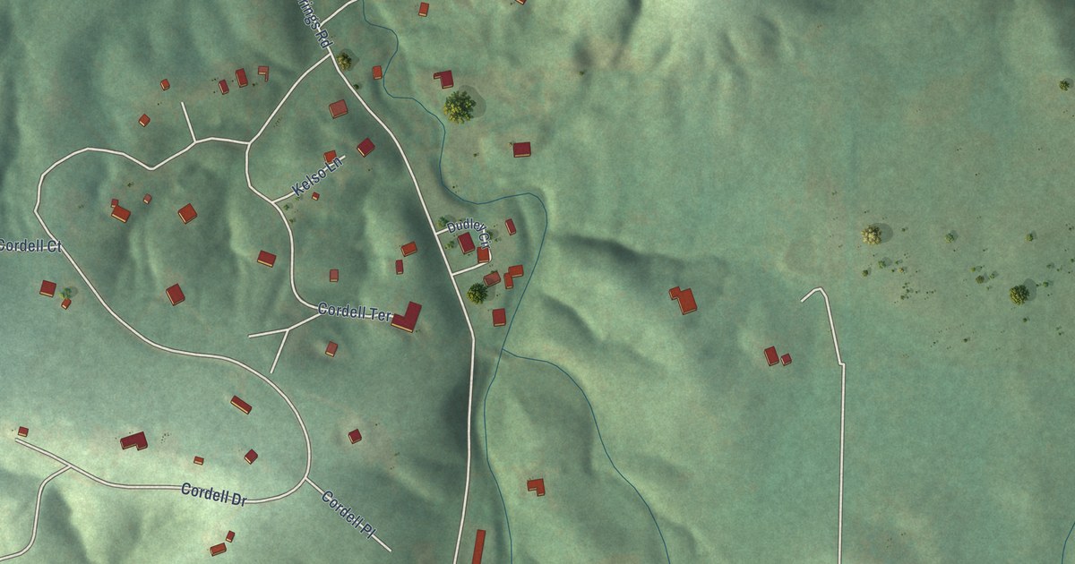
A detailed map of Crystal Springs, Arkansas, showing every building in its true location, the roads by name, and shaded topographical relief.
Read More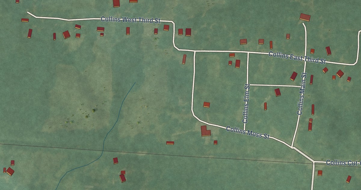
A detailed map of Collins, Arkansas, showing every building in its true location, the roads by name, and shaded topographical relief.
Read More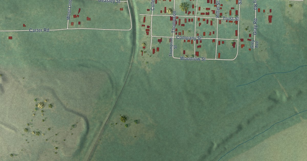
A detailed map of College Station, Arkansas, showing every building in its true location, the roads by name, and shaded topographical relief.
Read More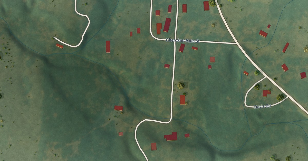
A detailed map of Cherokee City, Arkansas, showing every building in its true location, the roads by name, and shaded topographical relief.
Read More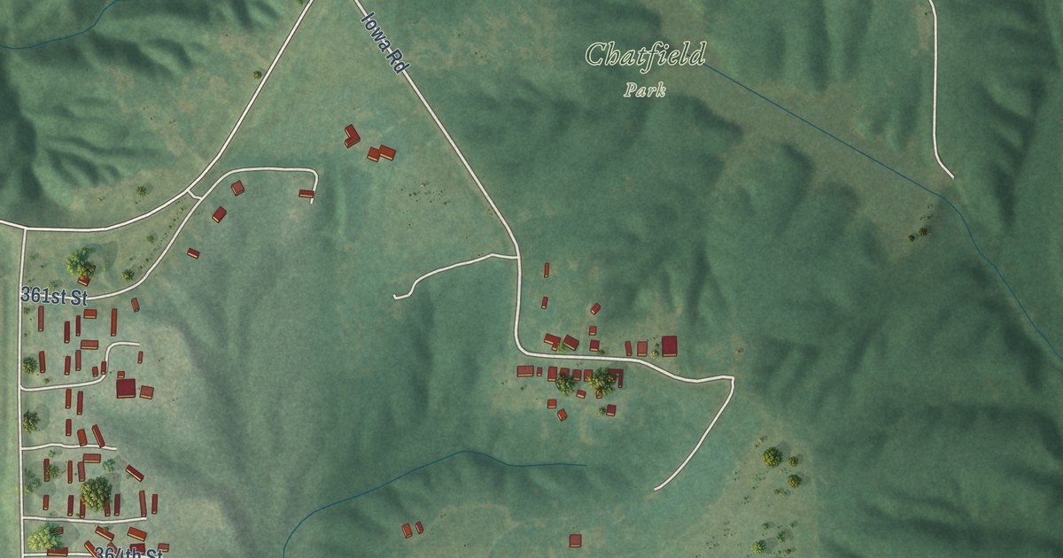
A detailed map of Mooar, Iowa, showing every building in its true location, the roads by name, and shaded topographical relief.
Read More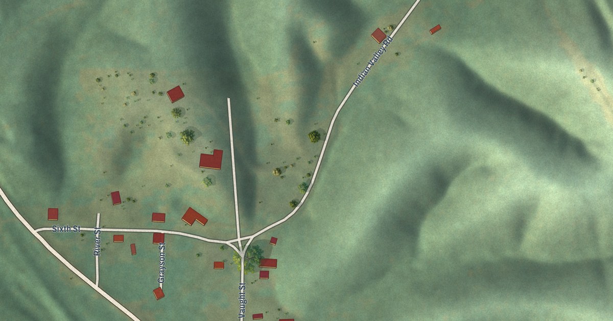
A detailed map of Caddo Gap, Arkansas, showing every building in its true location, the roads by name, and shaded topographical relief.
Read More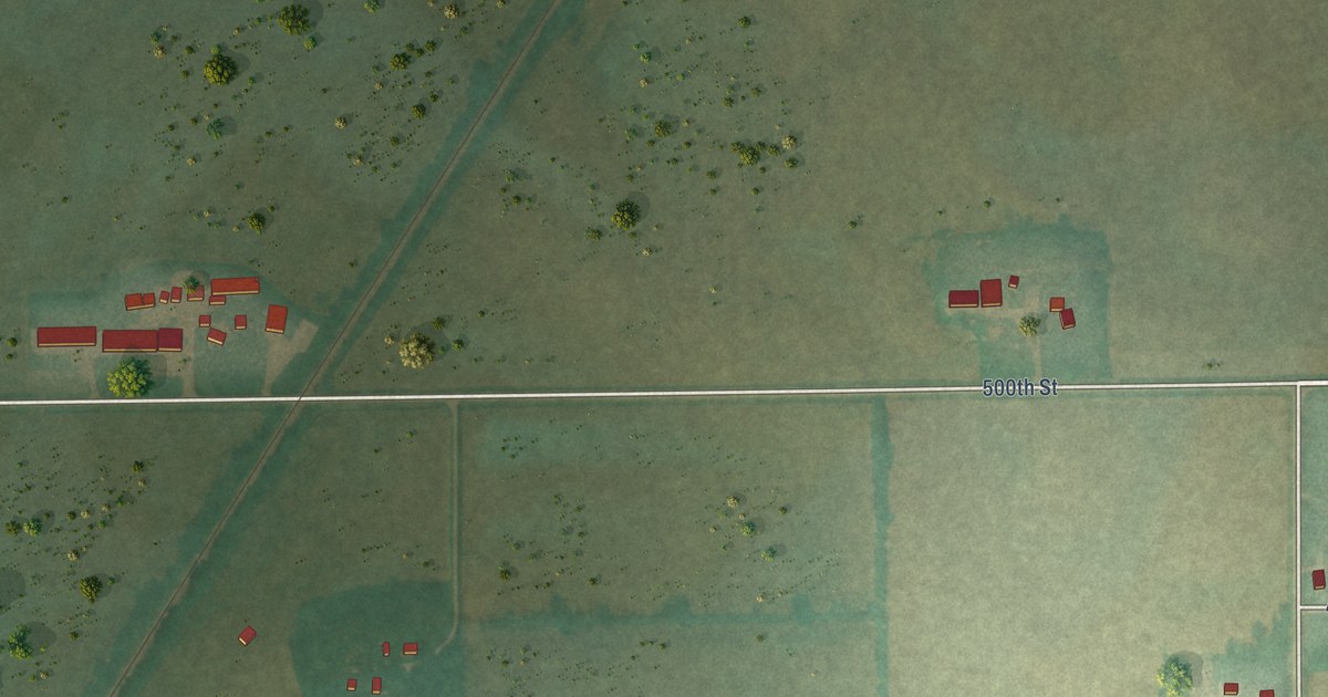
A detailed map of Mona, Iowa, showing every building in its true location, the roads by name, and shaded topographical relief.
Read More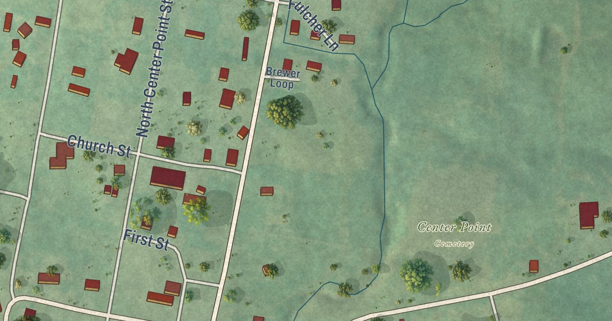
A detailed map of Center Point, Arkansas, showing every building in its true location, the roads by name, and shaded topographical relief.
Read More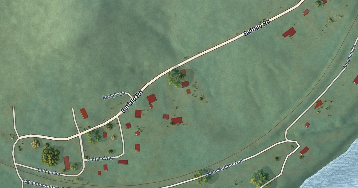
A detailed map of Buffalo City, Arkansas, showing every building in its true location, the roads by name, and shaded topographical relief.
Read More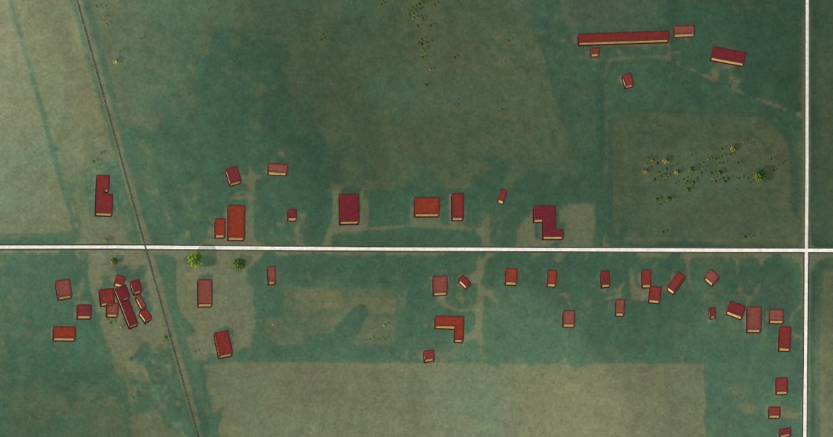
A detailed map of Miller, Iowa, showing every building in its true location, the roads by name, and shaded topographical relief.
Read More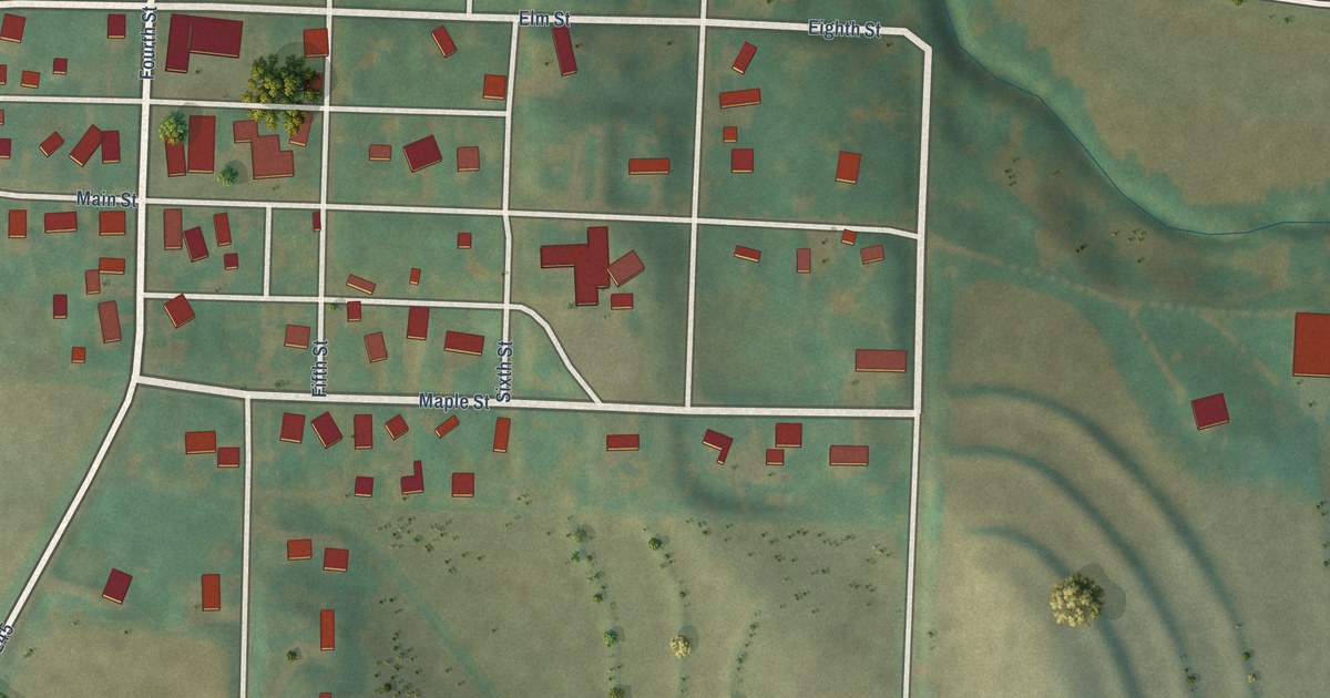
A detailed map of Mineola, Iowa, showing every building in its true location, the roads by name, and shaded topographical relief.
Read More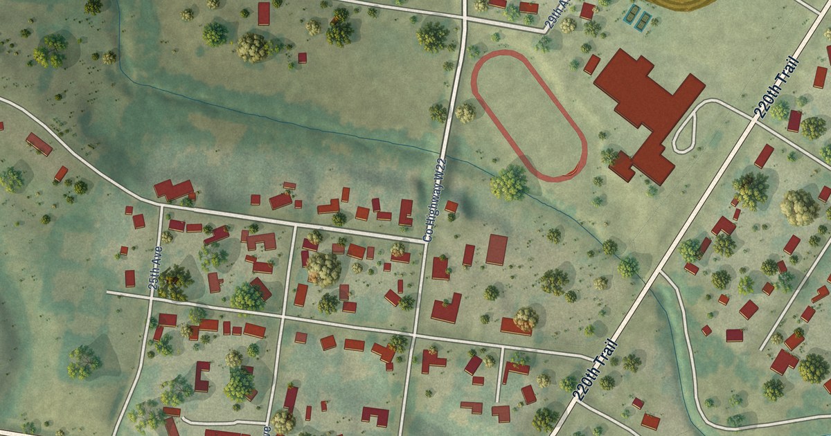
A detailed map of Middle Amana, Iowa, showing every building in its true location, the roads by name, and shaded topographical relief.
Read More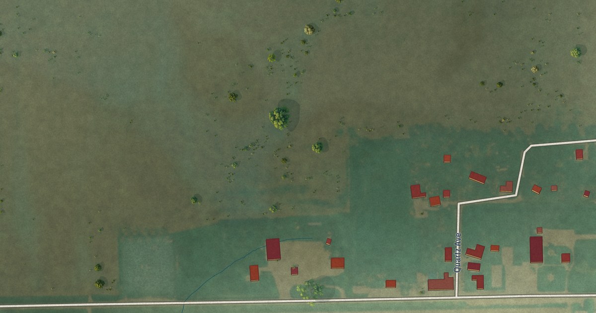
A detailed map of Meyer, Iowa, showing every building in its true location, the roads by name, and shaded topographical relief.
Read More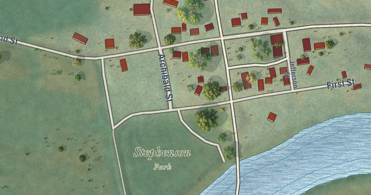
A detailed map of Lowell, Iowa, showing every building in its true location, the roads by name, and shaded topographical relief.
Read More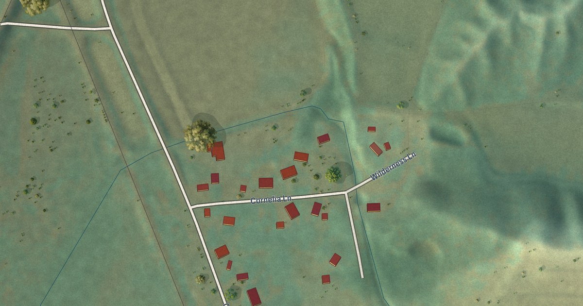
A detailed map of Loveland, Iowa, showing every building in its true location, the roads by name, and shaded topographical relief.
Read More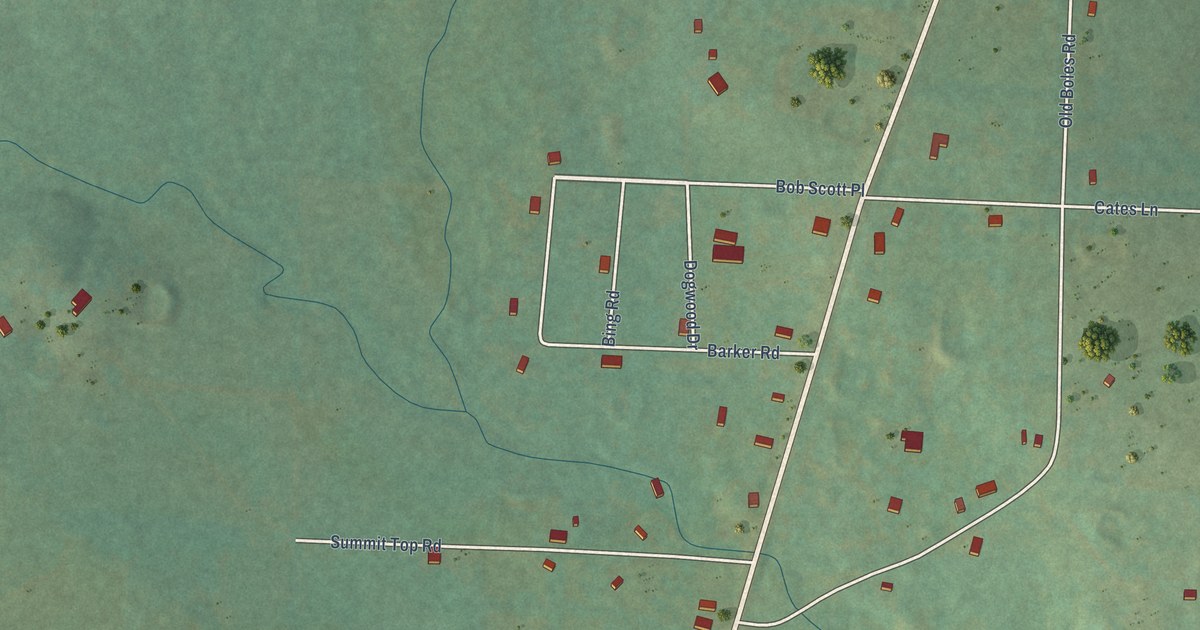
A detailed map of Boles, Arkansas, showing every building in its true location, the roads by name, and shaded topographical relief.
Read More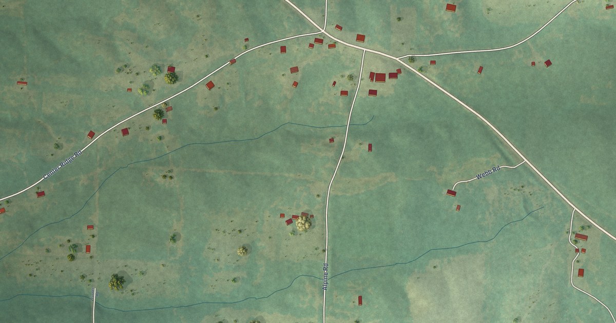
A detailed map of Alpine, Arkansas, showing every building in its true location, the roads by name, and shaded topographical relief.
Read More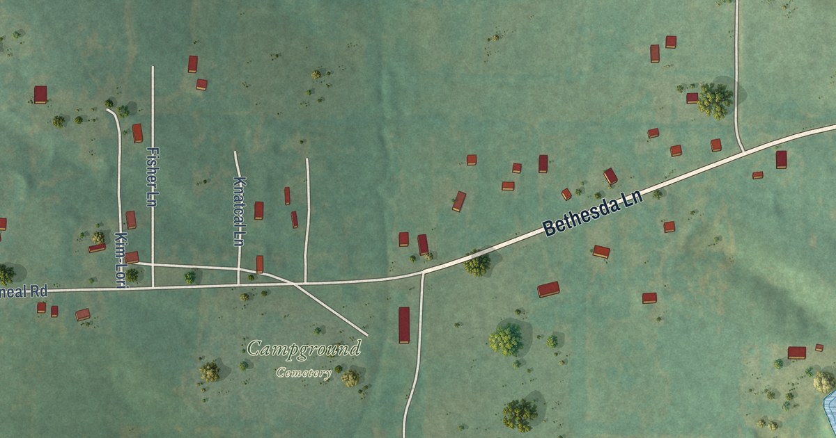
A detailed map of Bethesda, Arkansas, showing every building in its true location, the roads by name, and shaded topographical relief.
Read More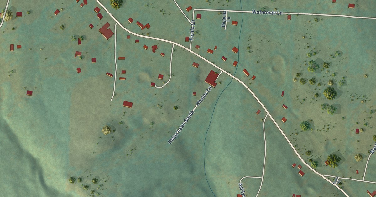
A detailed map of Batavia, Arkansas, showing every building in its true location, the roads by name, and shaded topographical relief.
Read More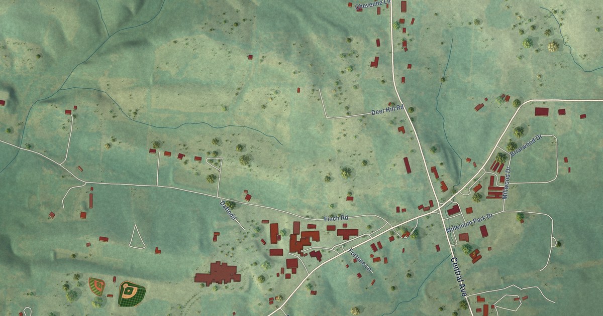
A detailed map of Bismarck, Arkansas, showing every building in its true location, the roads by name, and shaded topographical relief.
Read More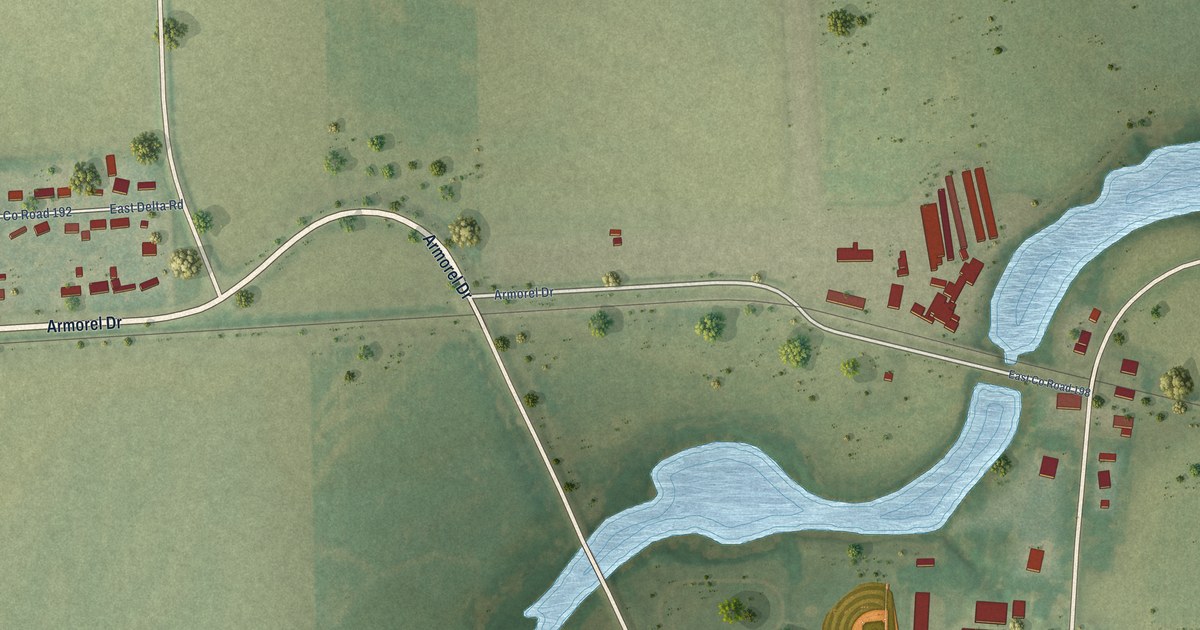
A detailed map of Armorel, Arkansas, showing every building in its true location, the roads by name, and shaded topographical relief.
Read More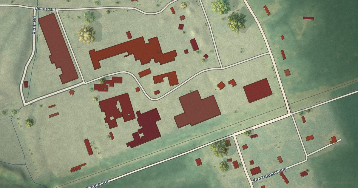
A detailed map of Beirne, Arkansas, showing every building in its true location, the roads by name, and shaded topographical relief.
Read More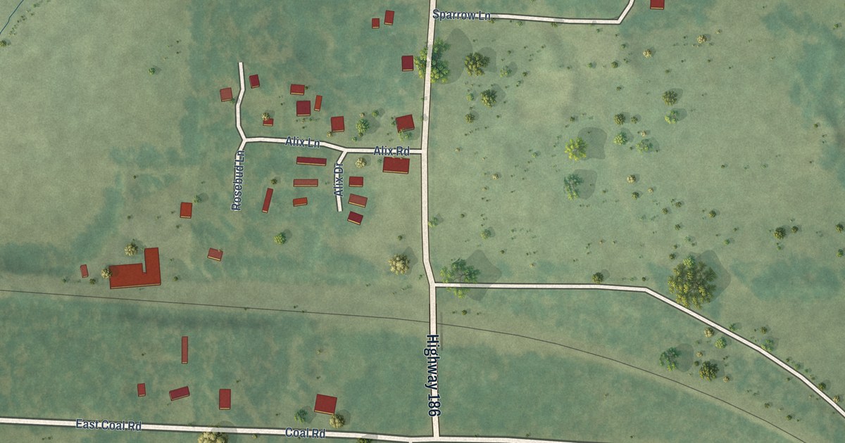
A detailed map of Alix, Arkansas, showing every building in its true location, the roads by name, and shaded topographical relief.
Read More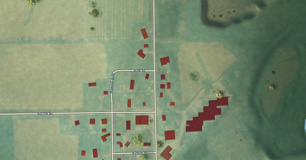
A detailed map of Little Cedar, Iowa, showing every building in its true location, the roads by name, and shaded topographical relief.
Read More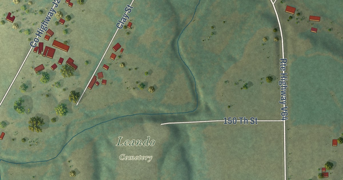
A detailed map of Leando, Iowa, showing every building in its true location, the roads by name, and shaded topographical relief.
Read More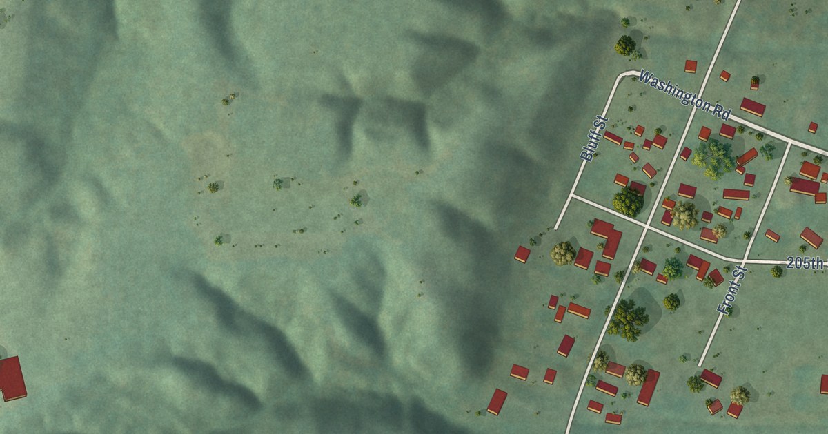
A detailed map of Kingston, Iowa, showing every building in its true location, the roads by name, and shaded topographical relief.
Read More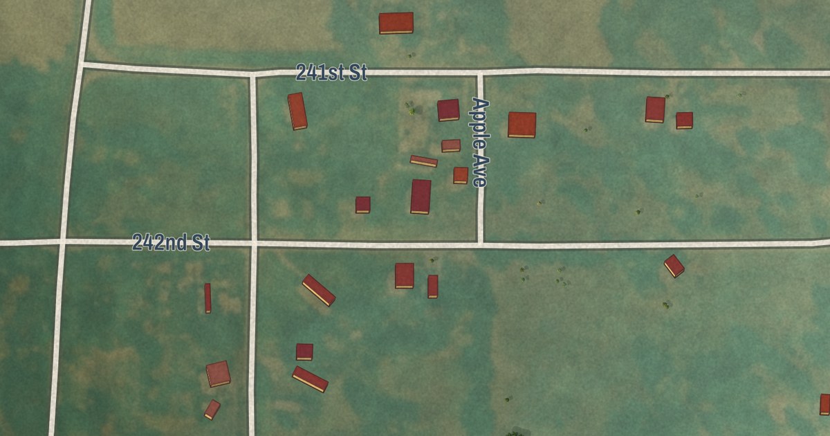
A detailed map of Kent, Iowa, showing every building in its true location, the roads by name, and shaded topographical relief.
Read More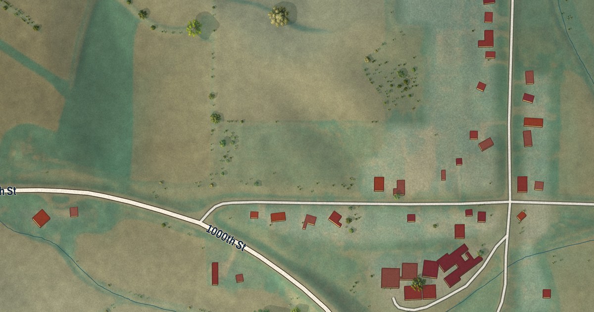
A detailed map of Jacksonville, Iowa, showing every building in its true location, the roads by name, and shaded topographical relief.
Read More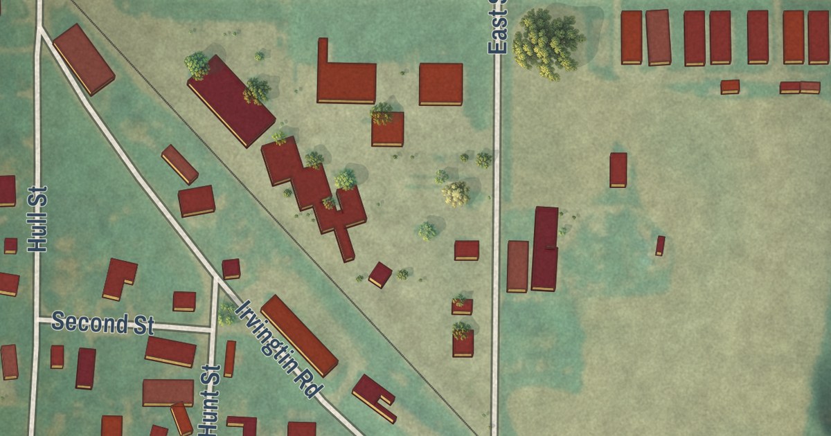
A detailed map of Irvington, Iowa, showing every building in its true location, the roads by name, and shaded topographical relief.
Read More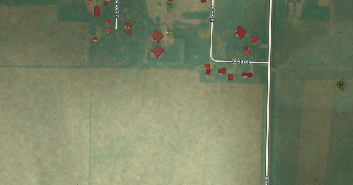
A detailed map of Hutchins, Iowa, showing every building in its true location, the roads by name, and shaded topographical relief.
Read More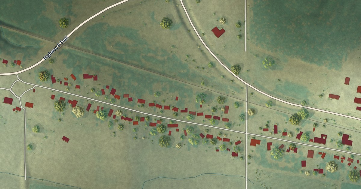
A detailed map of Homestead, Iowa, showing every building in its true location, the roads by name, and shaded topographical relief.
Read More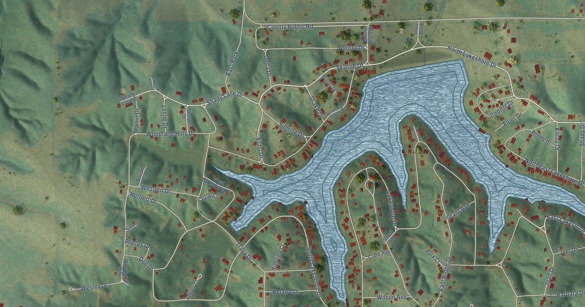
A detailed map of Holiday Lake, Iowa, showing every building in its true location, the roads by name, and shaded topographical relief.
Read More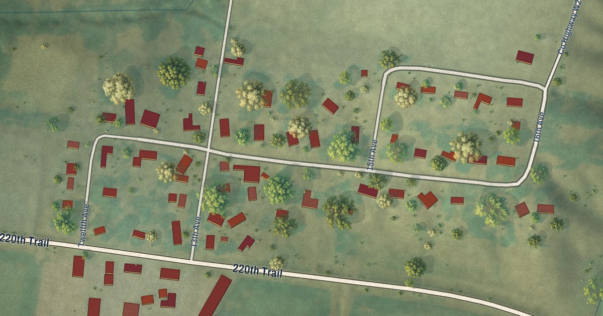
A detailed map of High Amana, Iowa, showing every building in its true location, the roads by name, and shaded topographical relief.
Read More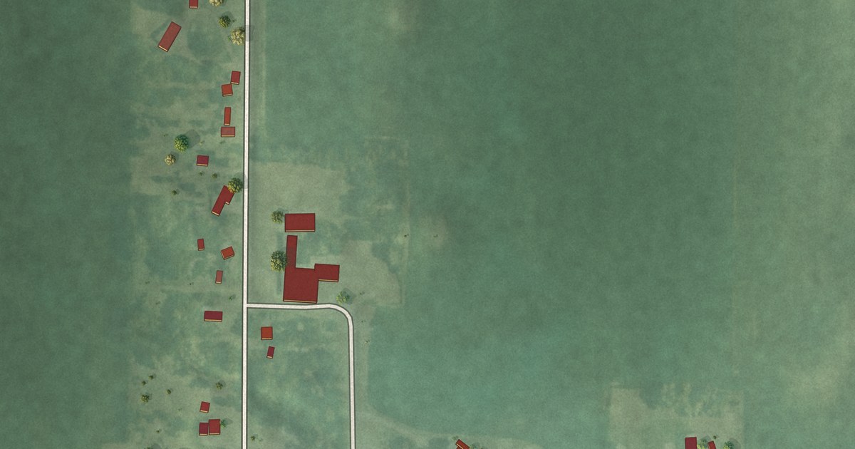
A detailed map of Hayfield, Iowa, showing every building in its true location, the roads by name, and shaded topographical relief.
Read More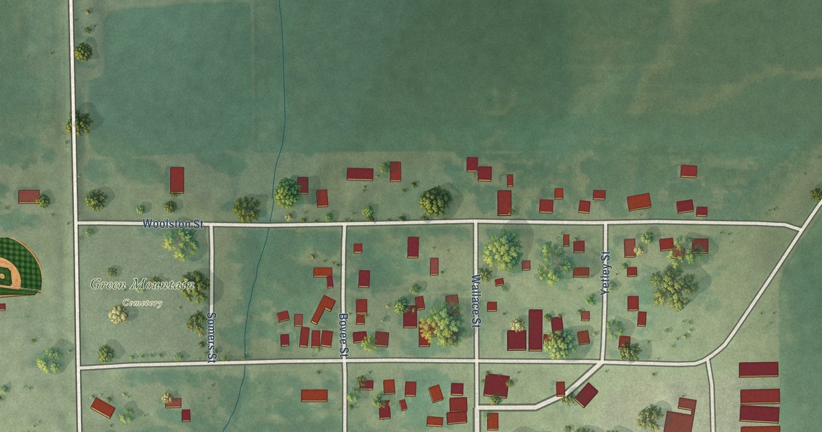
A detailed map of Green Mountain, Iowa, showing every building in its true location, the roads by name, and shaded topographical relief.
Read More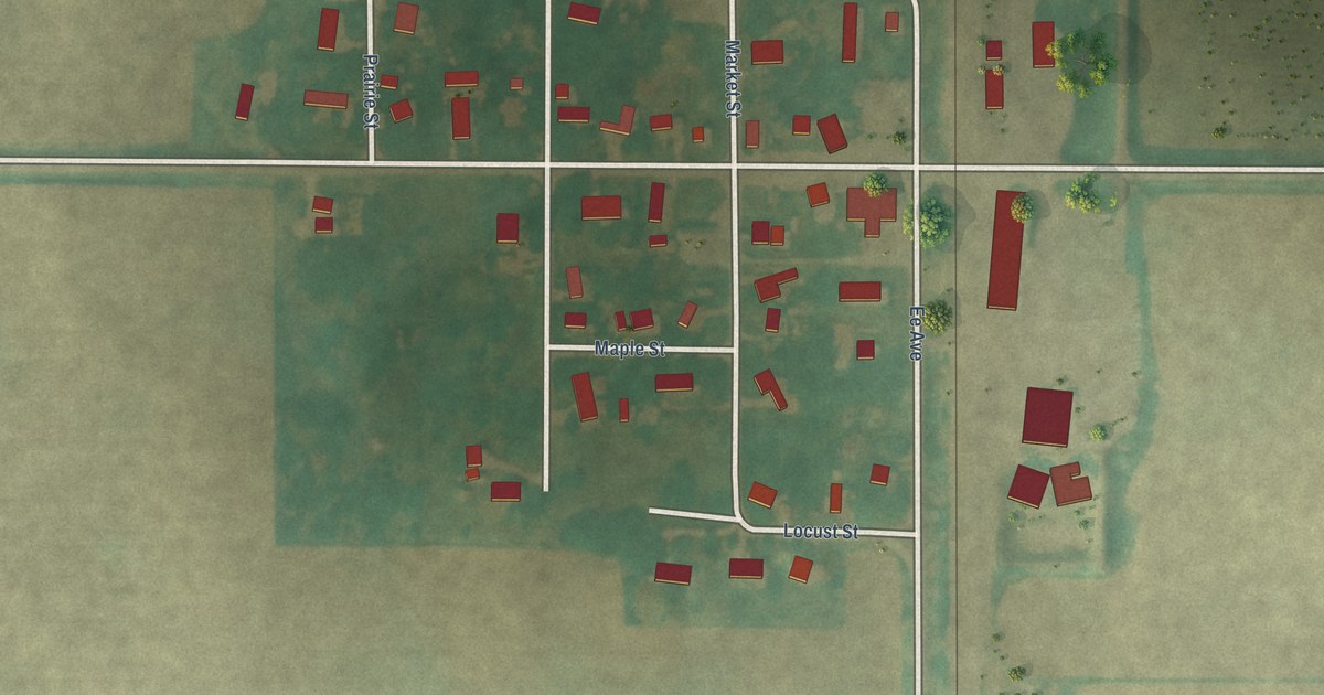
A detailed map of Garden City, Iowa, showing every building in its true location, the roads by name, and shaded topographical relief.
Read More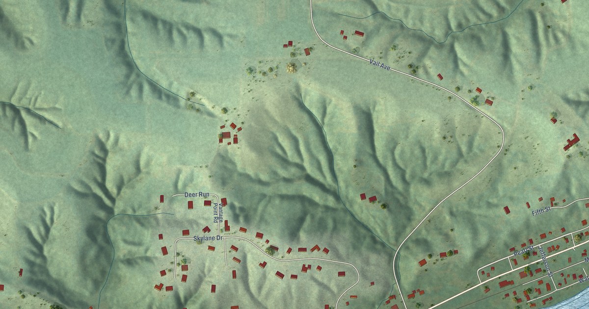
A detailed map of Fairport, Iowa, showing every building in its true location, the roads by name, and shaded topographical relief.
Read More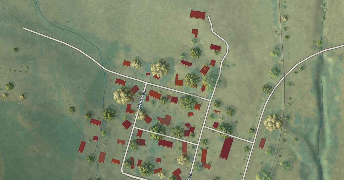
A detailed map of East Amana, Iowa, showing every building in its true location, the roads by name, and shaded topographical relief.
Read More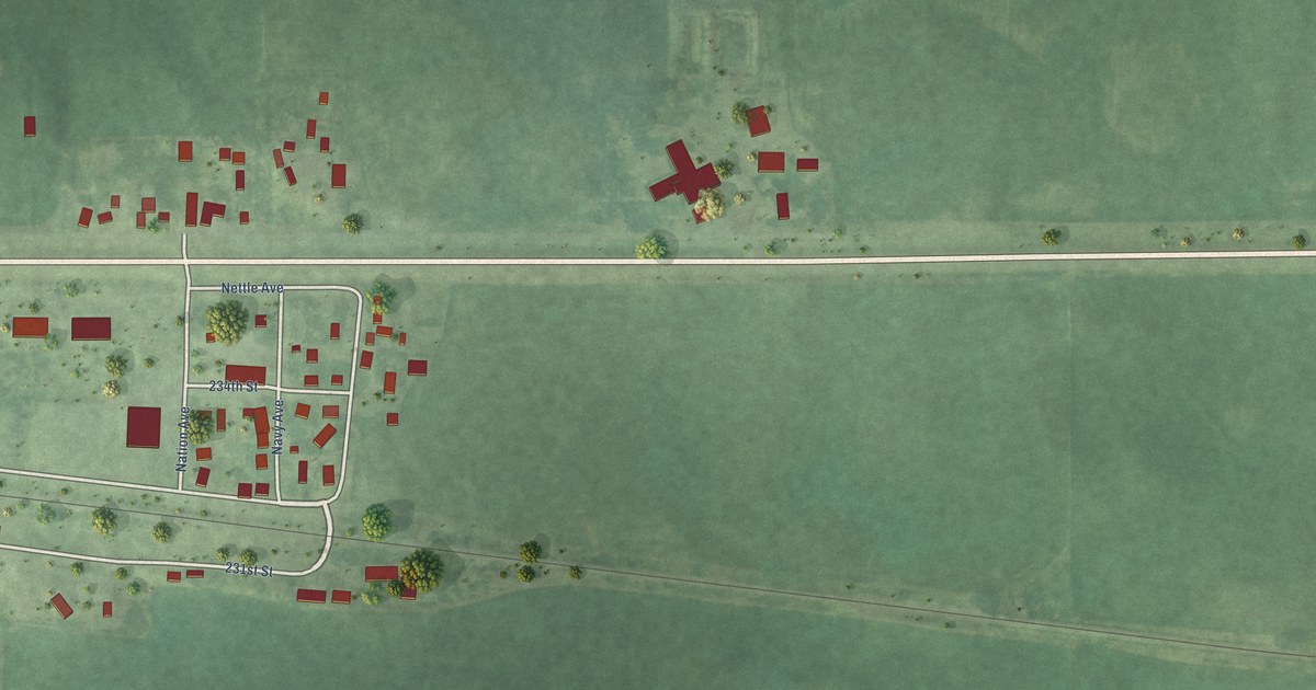
A detailed map of Duncan, Iowa, showing every building in its true location, the roads by name, and shaded topographical relief.
Read More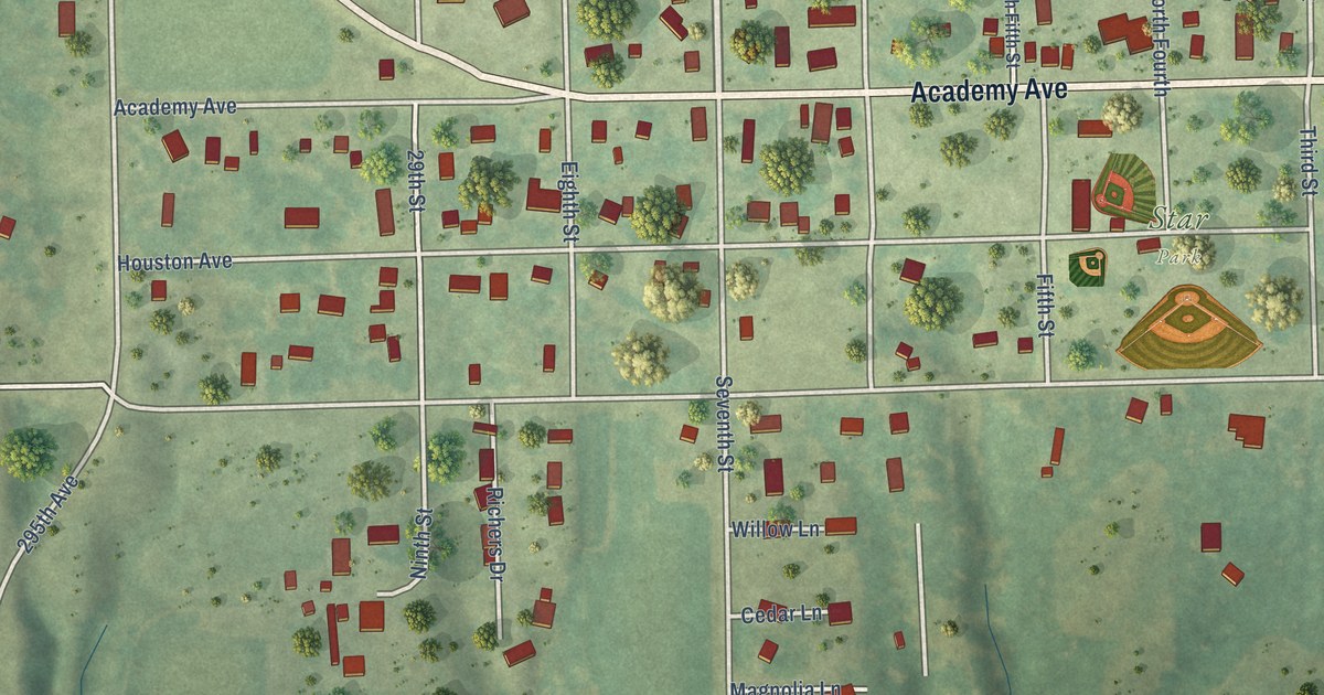
A detailed map of Denmark, Iowa, showing every building in its true location, the roads by name, and shaded topographical relief.
Read More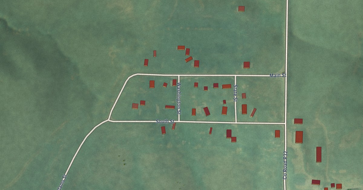
A detailed map of Delphos, Iowa, showing every building in its true location, the roads by name, and shaded topographical relief.
Read More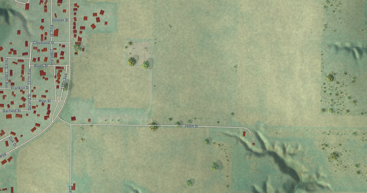
A detailed map of Coalville, Iowa, showing every building in its true location, the roads by name, and shaded topographical relief.
Read More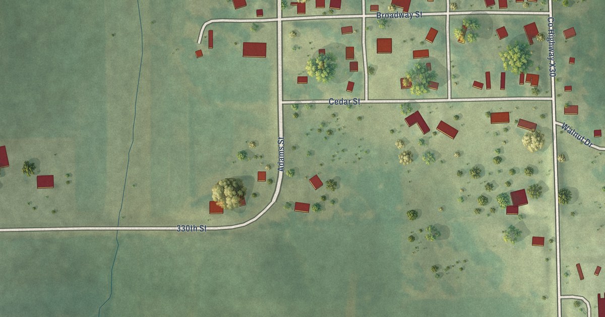
A detailed map of Downey, Iowa, showing every building in its true location, the roads by name, and shaded topographical relief.
Read More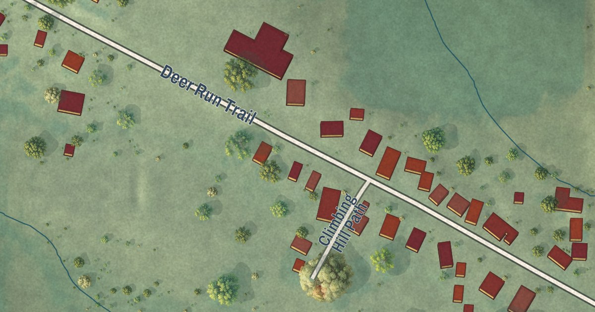
A detailed map of Climbing Hill, Iowa, showing every building in its true location, the roads by name, and shaded topographical relief.
Read More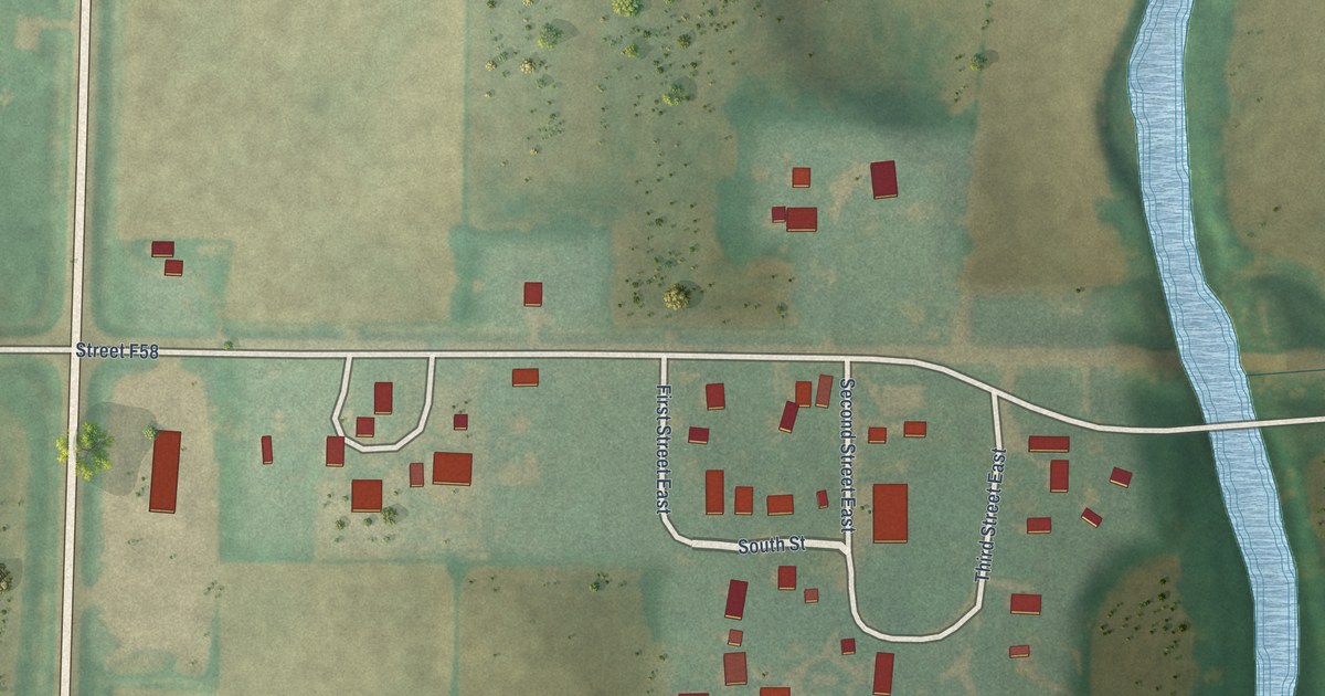
A detailed map of Corley, Iowa, showing every building in its true location, the roads by name, and shaded topographical relief.
Read More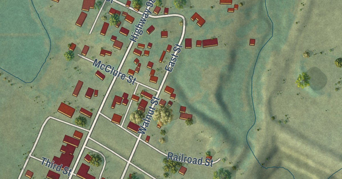
A detailed map of Douds, Iowa, showing every building in its true location, the roads by name, and shaded topographical relief.
Read More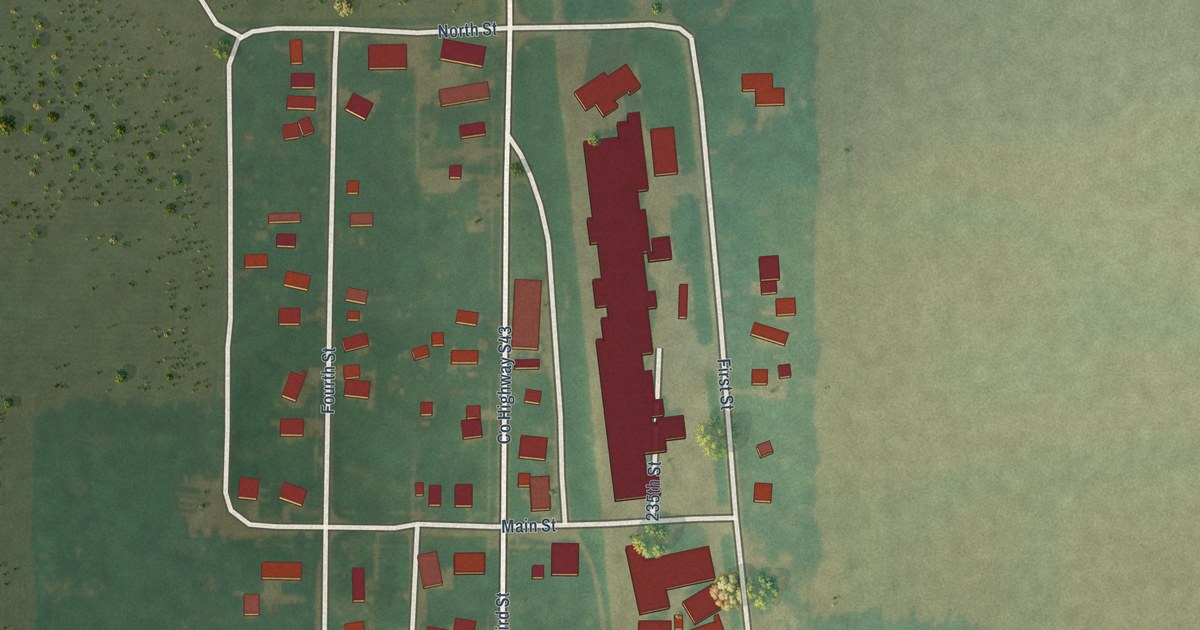
A detailed map of Chapin, Iowa, showing every building in its true location, the roads by name, and shaded topographical relief.
Read More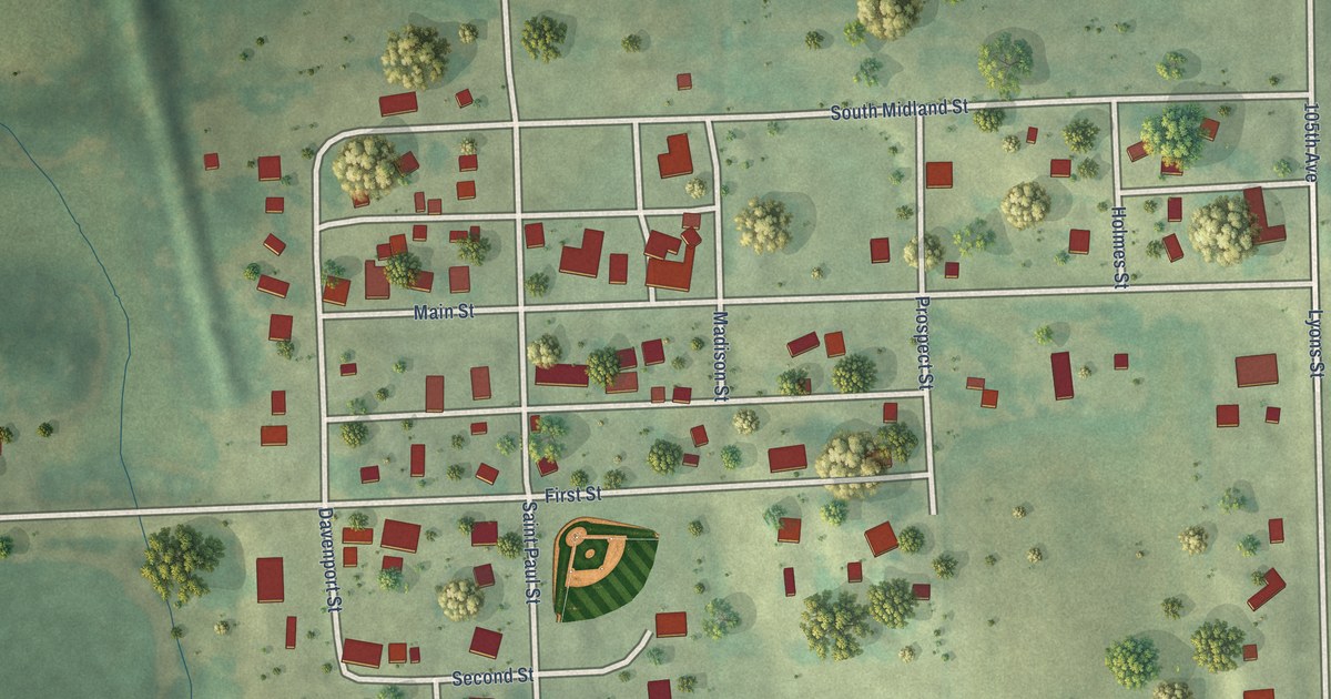
A detailed map of Center Junction, Iowa, showing every building in its true location, the roads by name, and shaded topographical relief.
Read More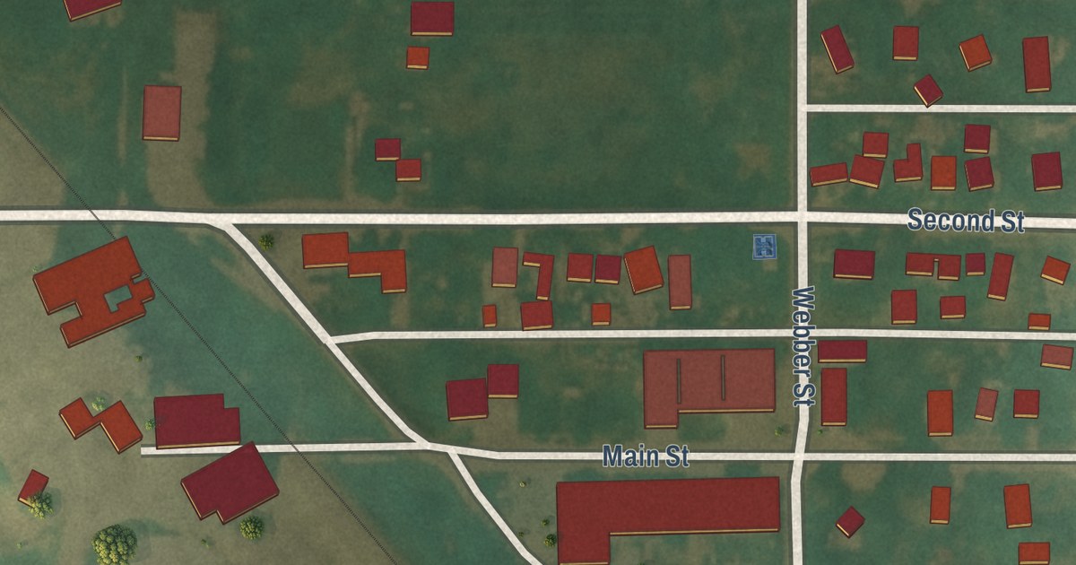
A detailed map of Bradford, Iowa, showing every building in its true location, the roads by name, and shaded topographical relief.
Read More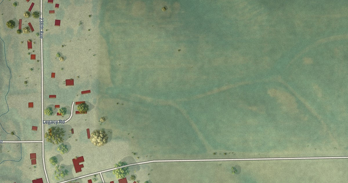
A detailed map of Burr Oak, Iowa, showing every building in its true location, the roads by name, and shaded topographical relief.
Read More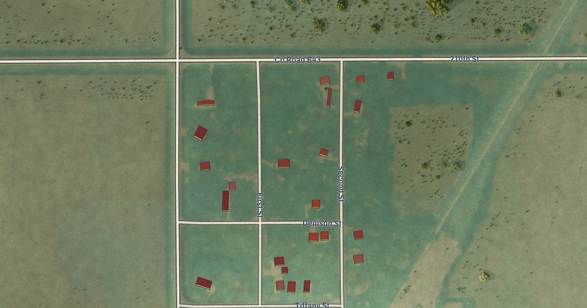
A detailed map of Burchinal, Iowa, showing every building in its true location, the roads by name, and shaded topographical relief.
Read More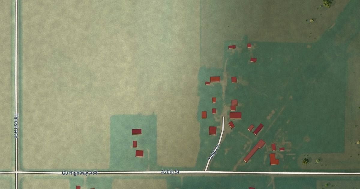
A detailed map of Bolan, Iowa, showing every building in its true location, the roads by name, and shaded topographical relief.
Read More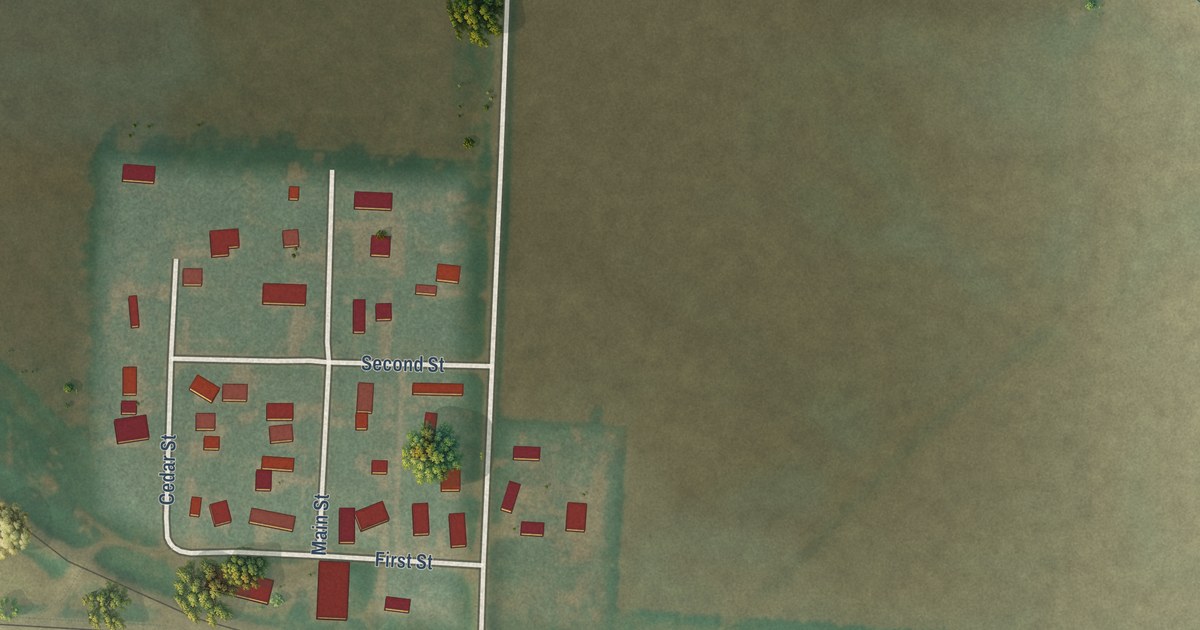
A detailed map of California Junction, Iowa, showing every building in its true location, the roads by name, and shaded topographical relief.
Read More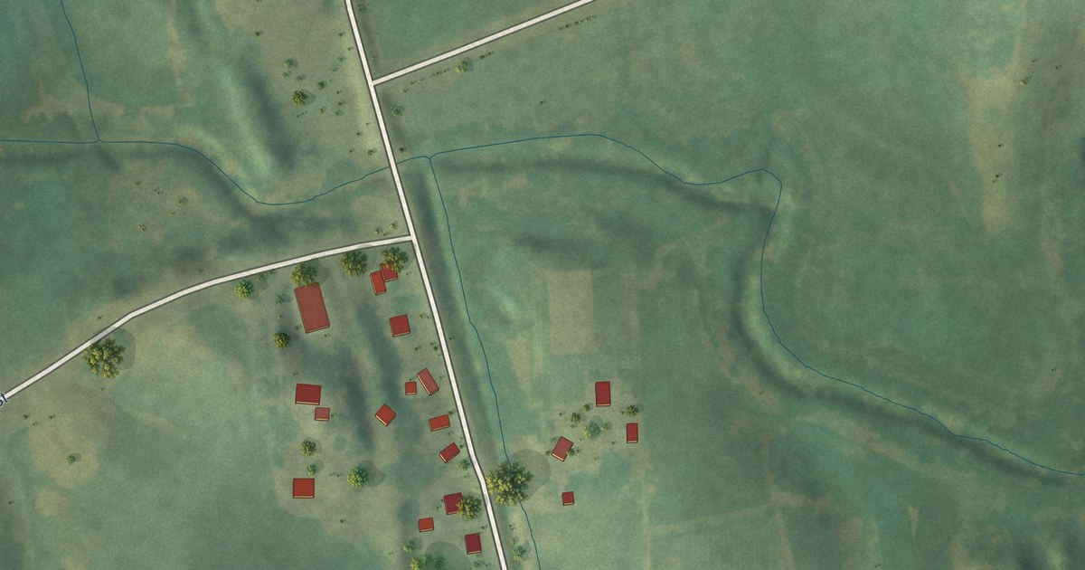
A detailed map of Big Rock, Iowa, showing every building in its true location, the roads by name, and shaded topographical relief.
Read More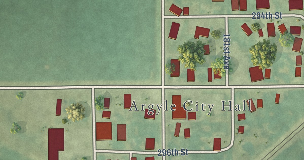
A detailed map of Argyle, Iowa, showing every building in its true location, the roads by name, and shaded topographical relief.
Read More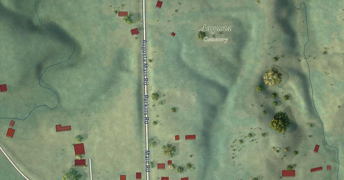
A detailed map of Augusta, Iowa, showing every building in its true location, the roads by name, and shaded topographical relief.
Read More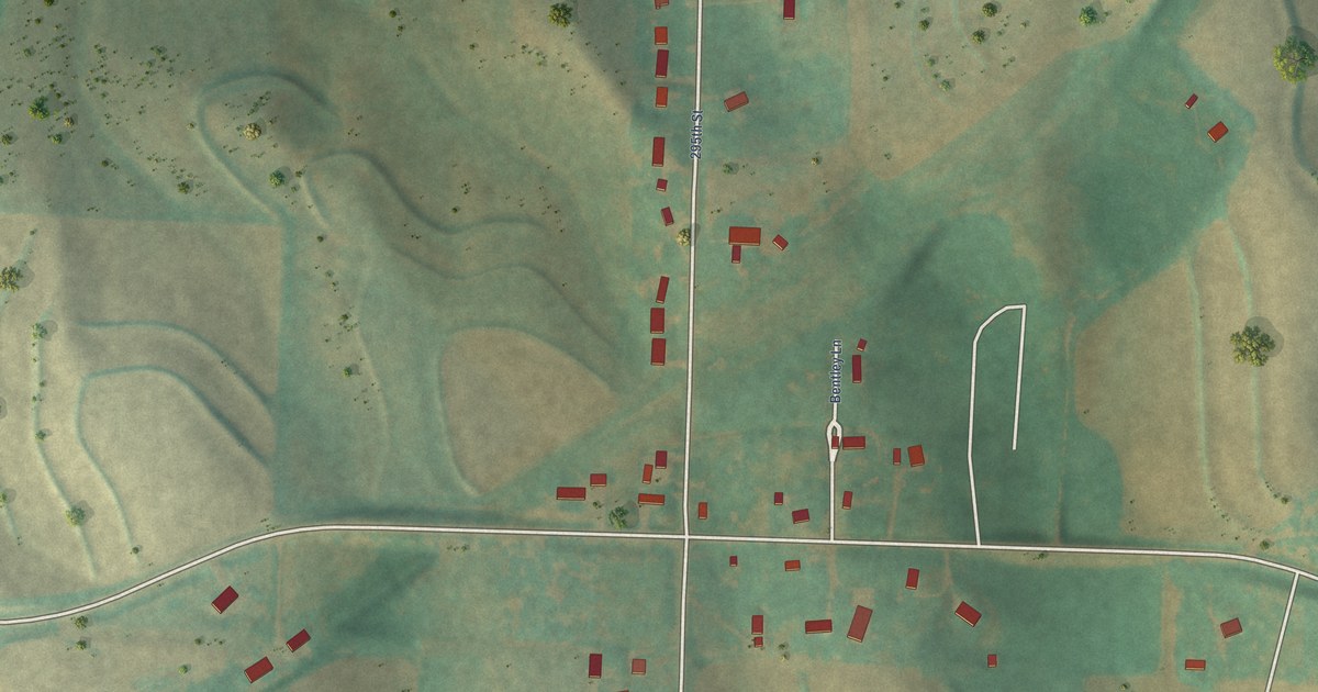
A detailed map of Bentley, Iowa, showing every building in its true location, the roads by name, and shaded topographical relief.
Read More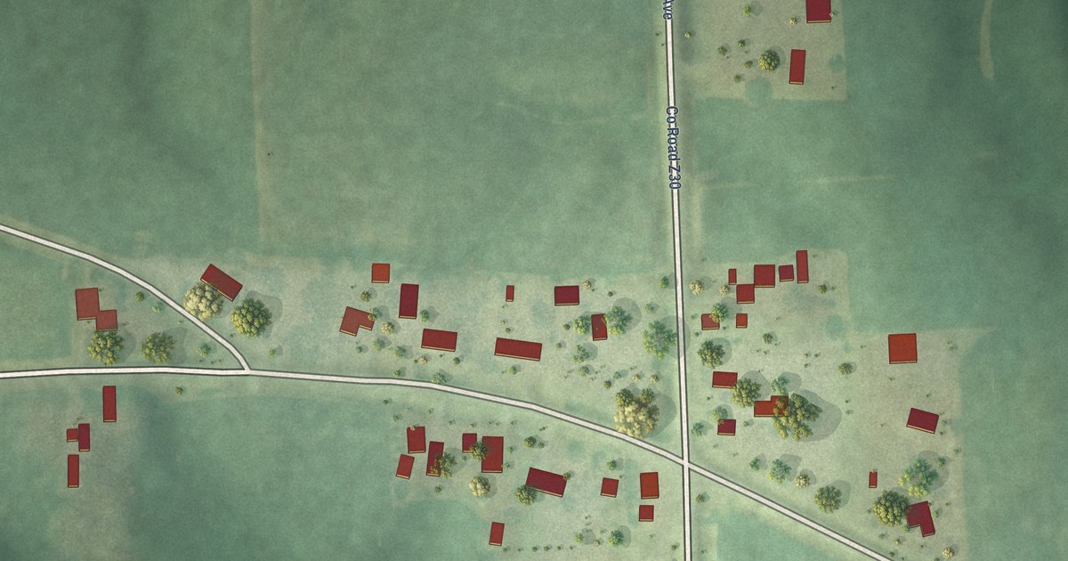
A detailed map of Argo, Iowa, showing every building in its true location, the roads by name, and shaded topographical relief.
Read More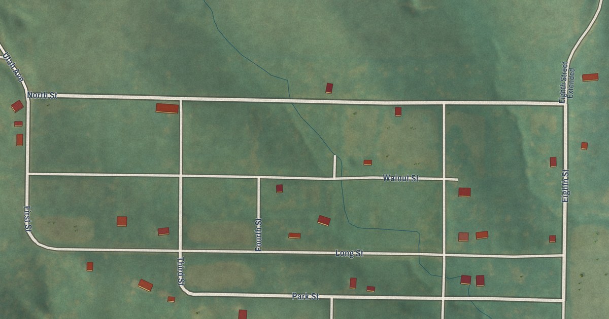
A detailed map of Athelstan, Iowa, showing every building in its true location, the roads by name, and shaded topographical relief.
Read More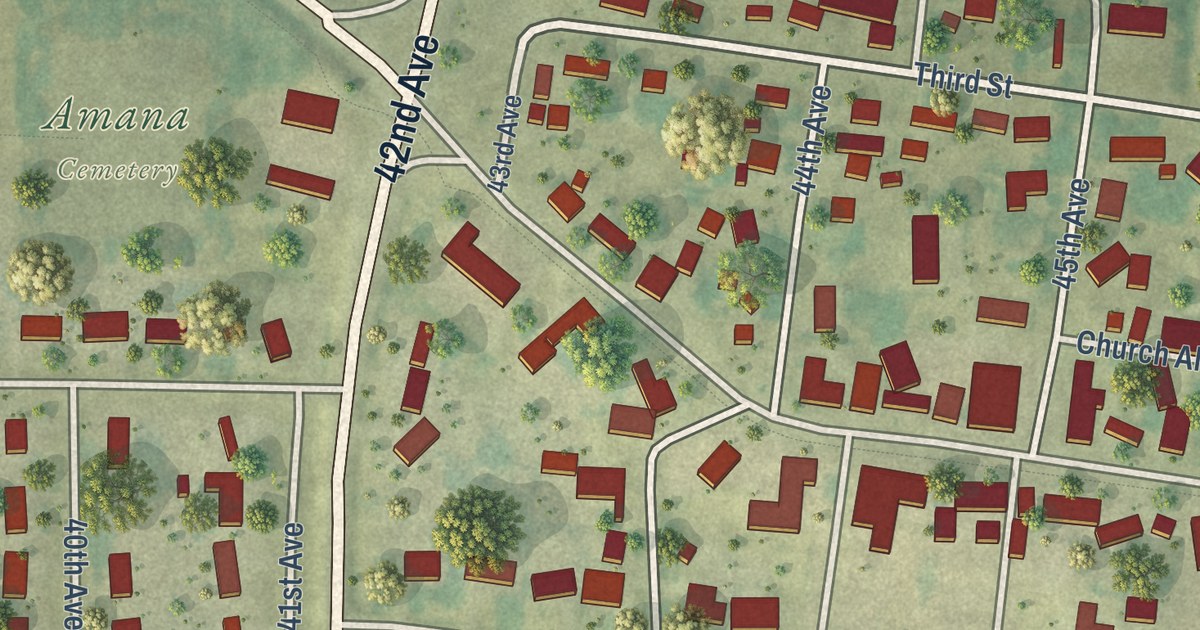
A detailed map of Amana, Iowa, showing every building in its true location, the roads by name, and shaded topographical relief.
Read More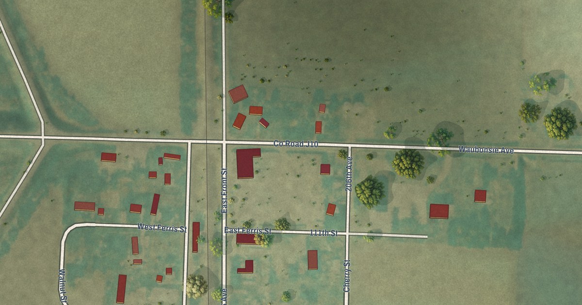
A detailed map of Bartlett, Iowa, showing every building in its true location, the roads by name, and shaded topographical relief.
Read More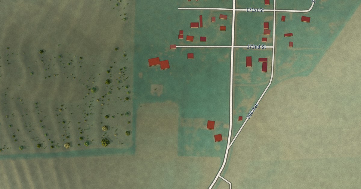
A detailed map of Anderson, Iowa, showing every building in its true location, the roads by name, and shaded topographical relief.
Read More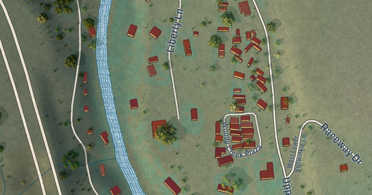
A detailed map of Woody Creek, Colorado, showing every building in its true location, the roads by name, and shaded topographical relief.
Read More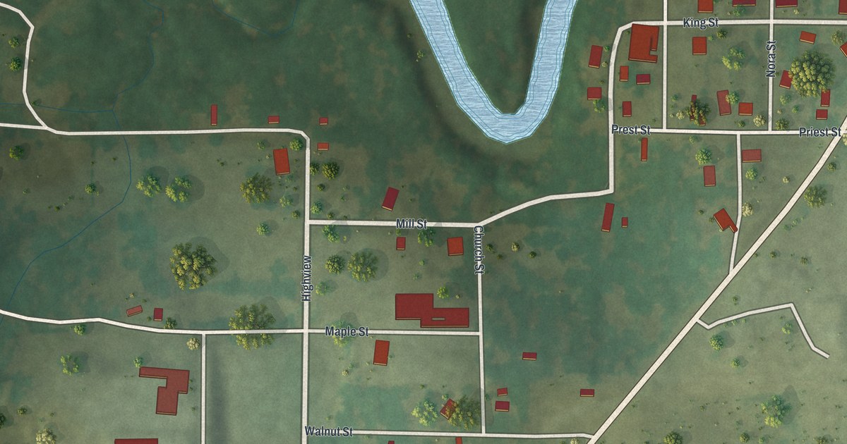
A detailed map of Zalma, Missouri, showing every building in its true location, the roads by name, and shaded topographical relief.
Read More















