Detailed Map of Vibbard, Missouri
A detailed map of Vibbard, Missouri, showing every building in its true location, the roads by name, and shaded topographical relief.
Read More
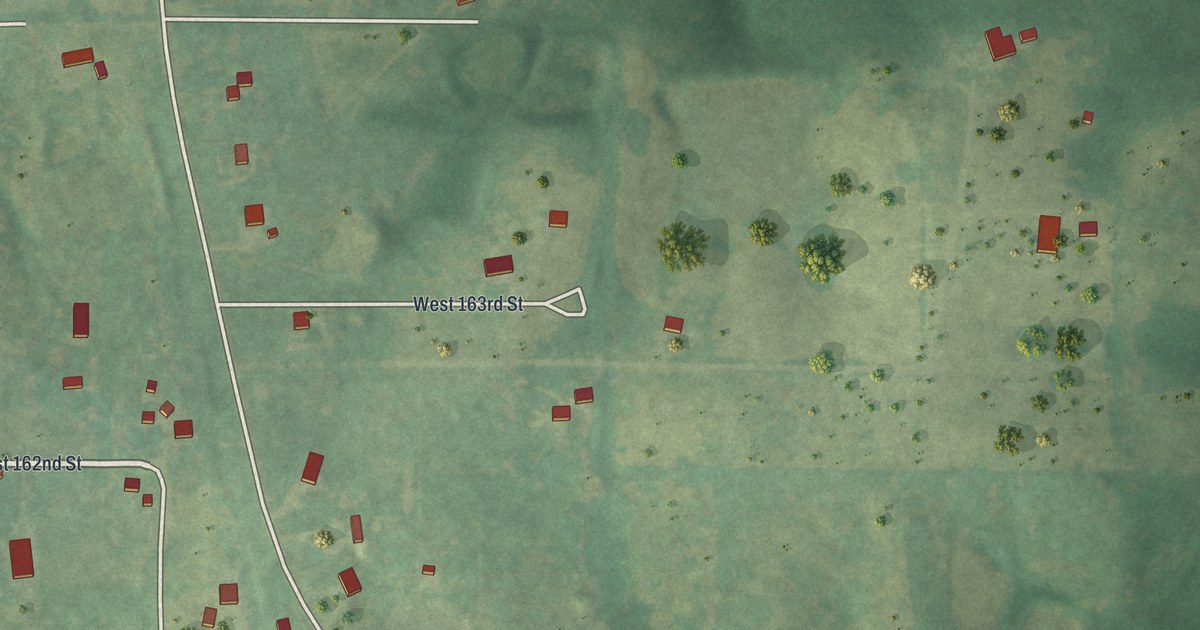
A detailed map of Vibbard, Missouri, showing every building in its true location, the roads by name, and shaded topographical relief.
Read More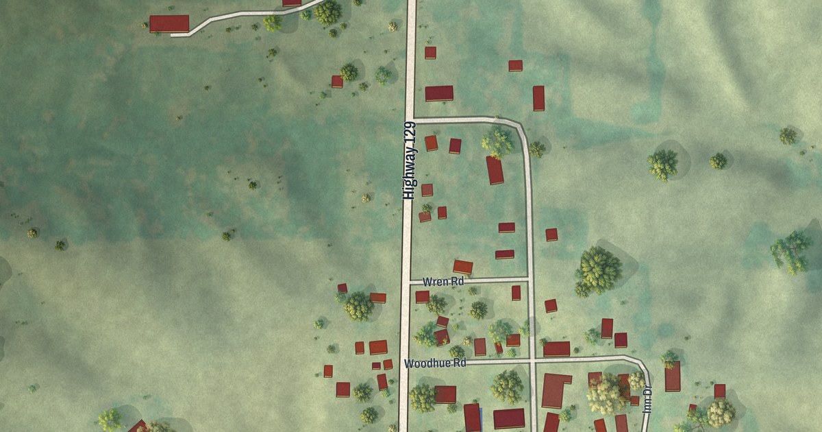
A detailed map of Winigan, Missouri, showing every building in its true location, the roads by name, and shaded topographical relief.
Read More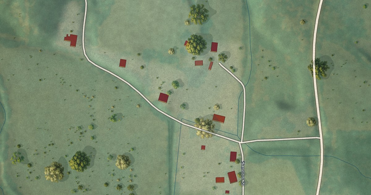
A detailed map of Thomasville, Missouri, showing every building in its true location, the roads by name, and shaded topographical relief.
Read More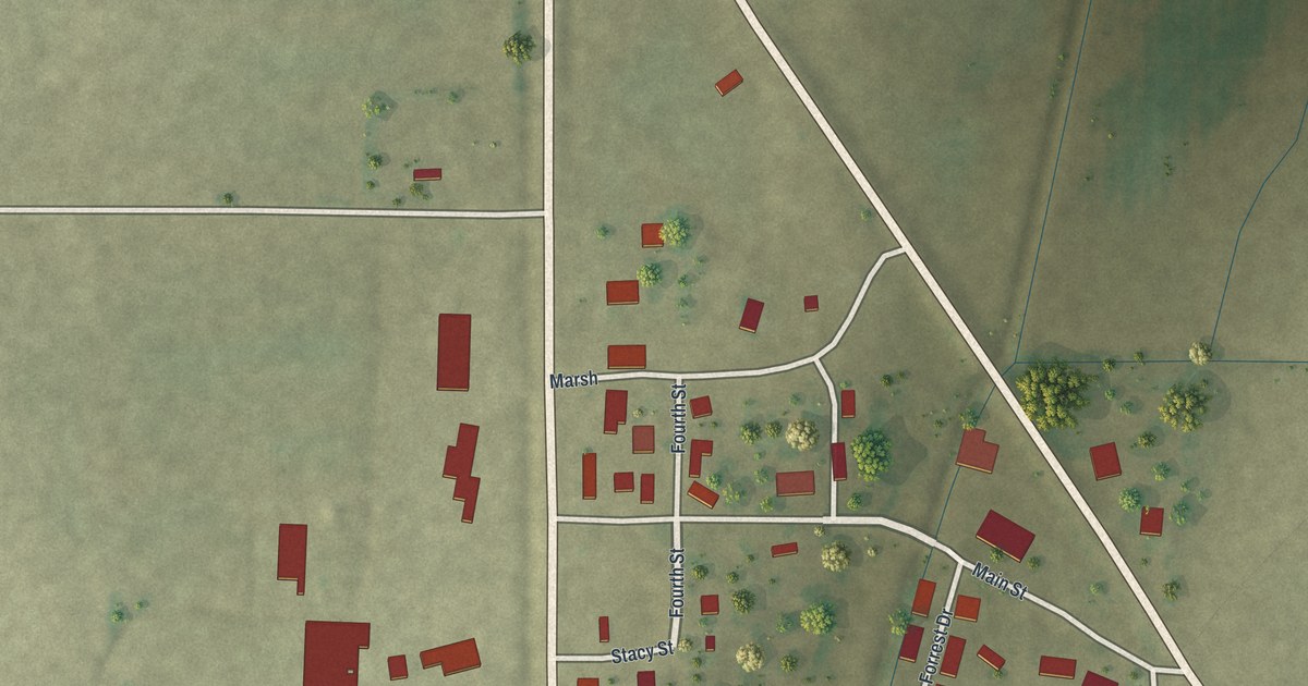
A detailed map of White Oak, Missouri, showing every building in its true location, the roads by name, and shaded topographical relief.
Read More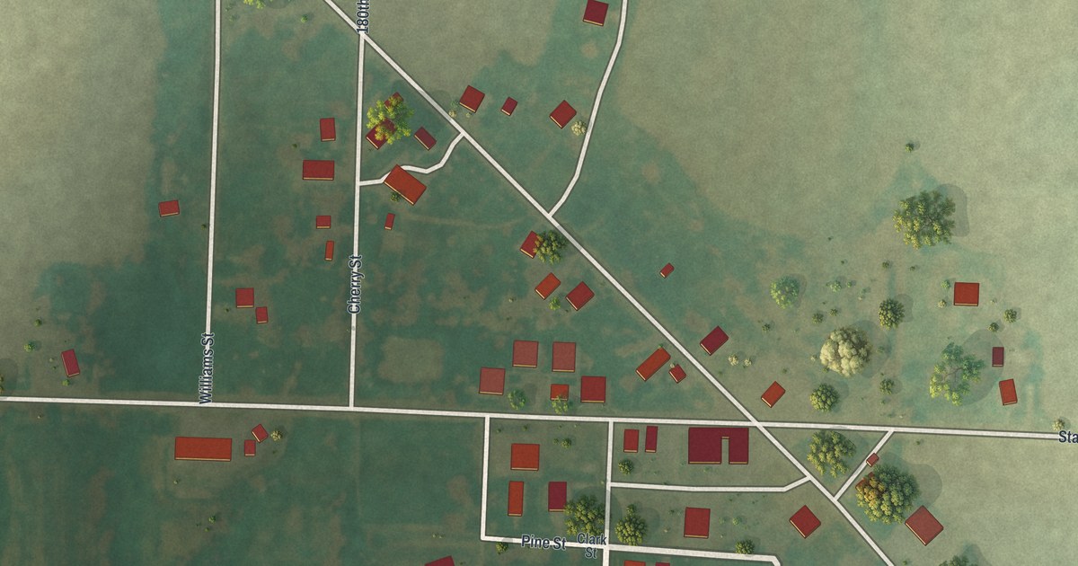
A detailed map of Williamstown, Missouri, showing every building in its true location, the roads by name, and shaded topographical relief.
Read More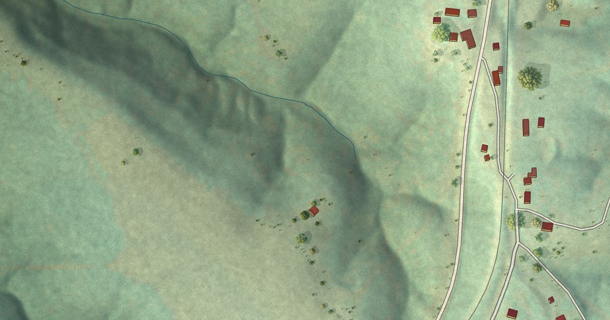
A detailed map of Weingarten, Missouri, showing every building in its true location, the roads by name, and shaded topographical relief.
Read More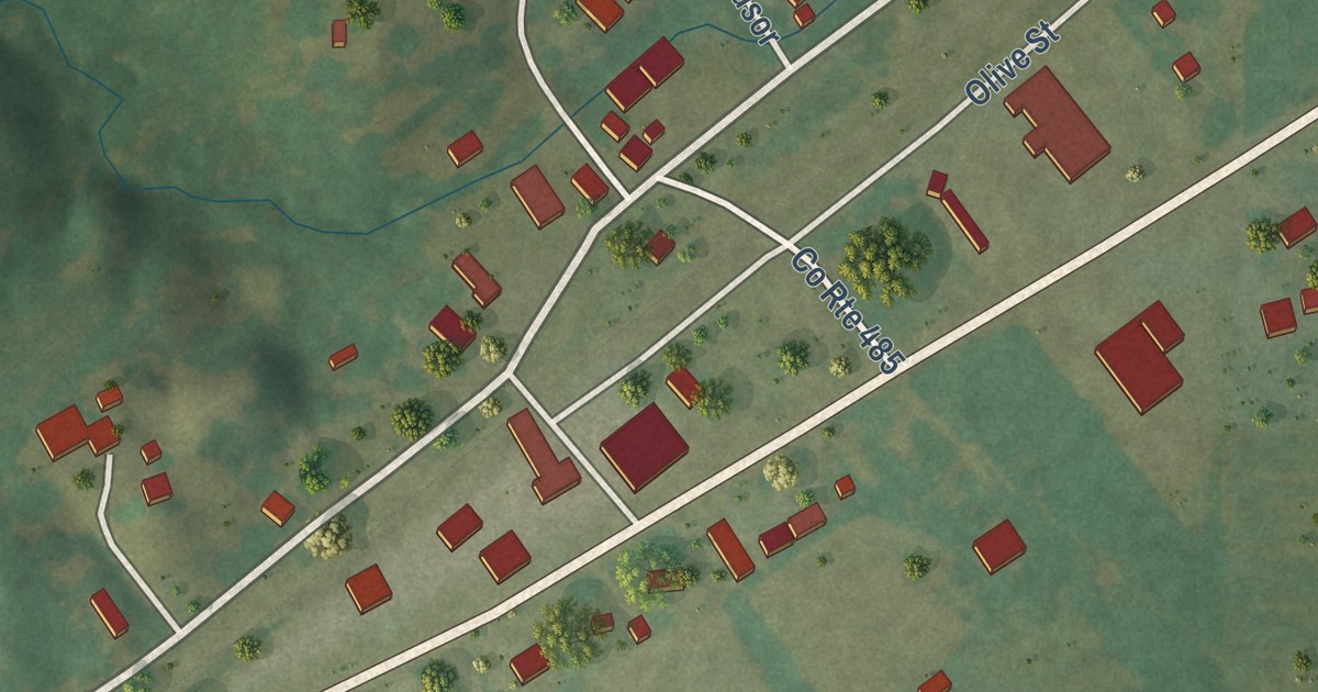
A detailed map of Tebbetts, Missouri, showing every building in its true location, the roads by name, and shaded topographical relief.
Read More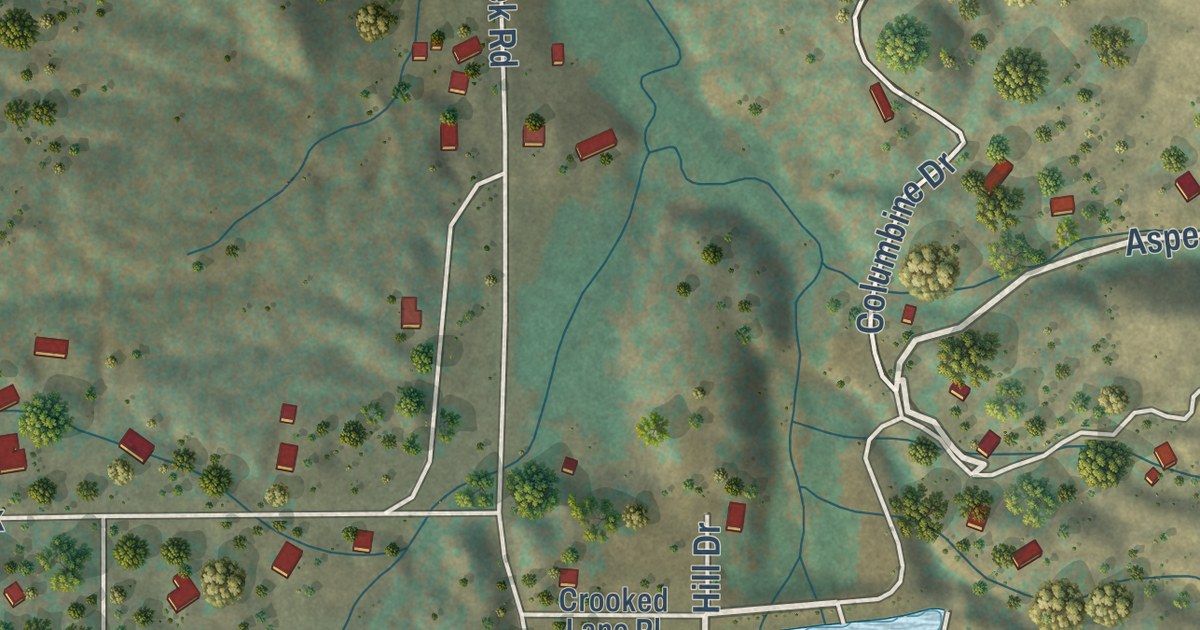
A detailed map of Westcreek, Colorado, showing every building in its true location, the roads by name, and shaded topographical relief.
Read More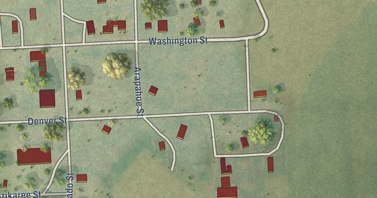
A detailed map of Vernon, Colorado, showing every building in its true location, the roads by name, and shaded topographical relief.
Read More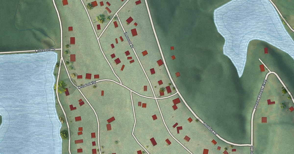
A detailed map of Tarsney Lakes, Missouri, showing every building in its true location, the roads by name, and shaded topographical relief.
Read More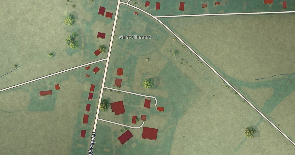
A detailed map of St. Clement, Missouri, showing every building in its true location, the roads by name, and shaded topographical relief.
Read More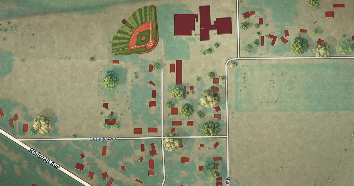
A detailed map of Weldona, Colorado, showing every building in its true location, the roads by name, and shaded topographical relief.
Read More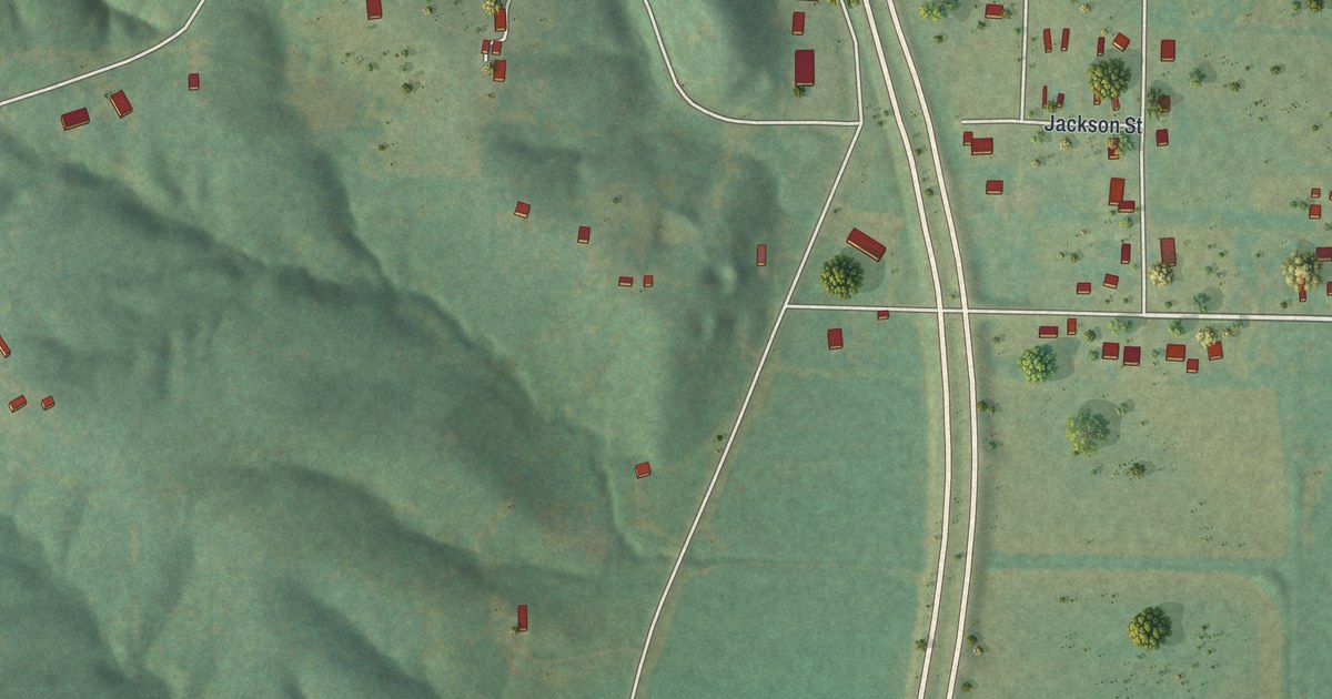
A detailed map of St. Francisville, Missouri, showing every building in its true location, the roads by name, and shaded topographical relief.
Read More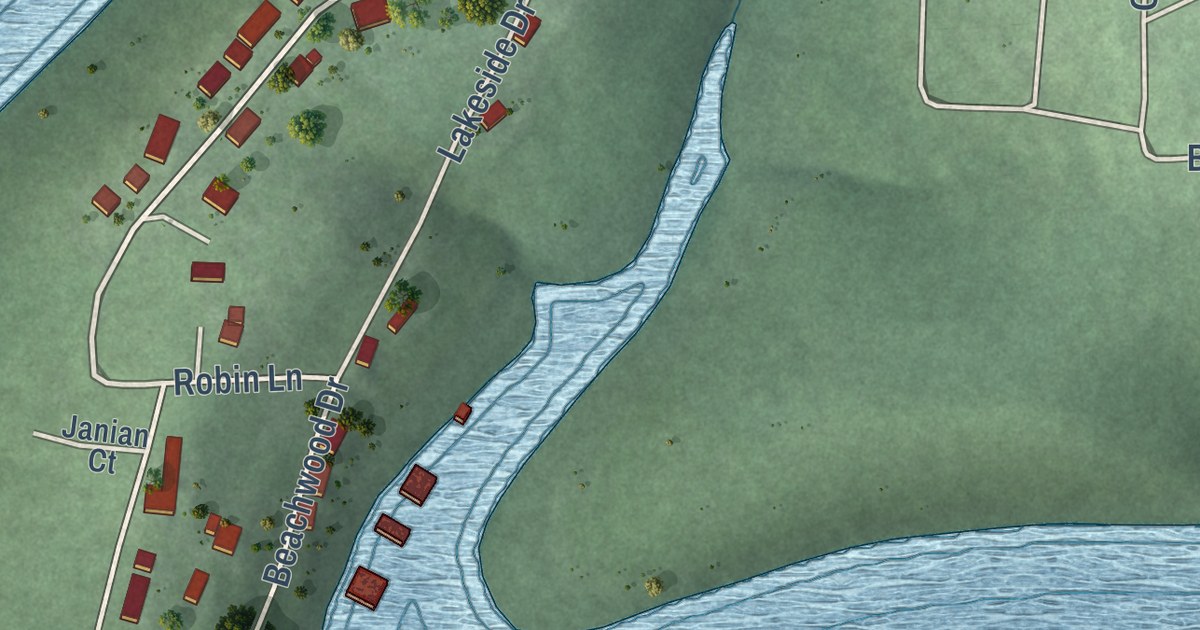
A detailed map of Sundown, Missouri, showing every building in its true location, the roads by name, and shaded topographical relief.
Read More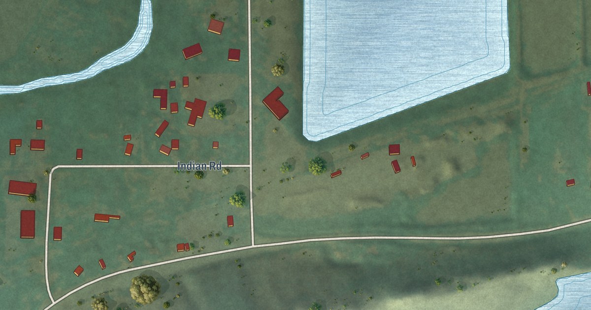
A detailed map of Valmont, Colorado, showing every building in its true location, the roads by name, and shaded topographical relief.
Read More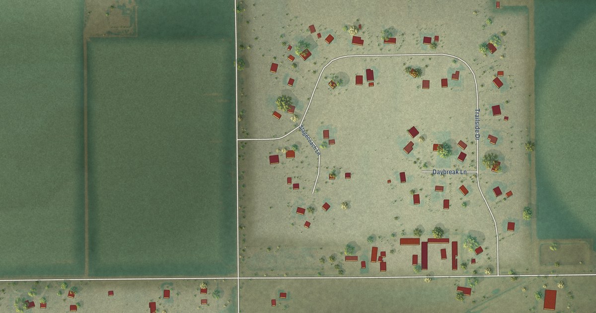
A detailed map of Trail Side, Colorado, showing every building in its true location, the roads by name, and shaded topographical relief.
Read More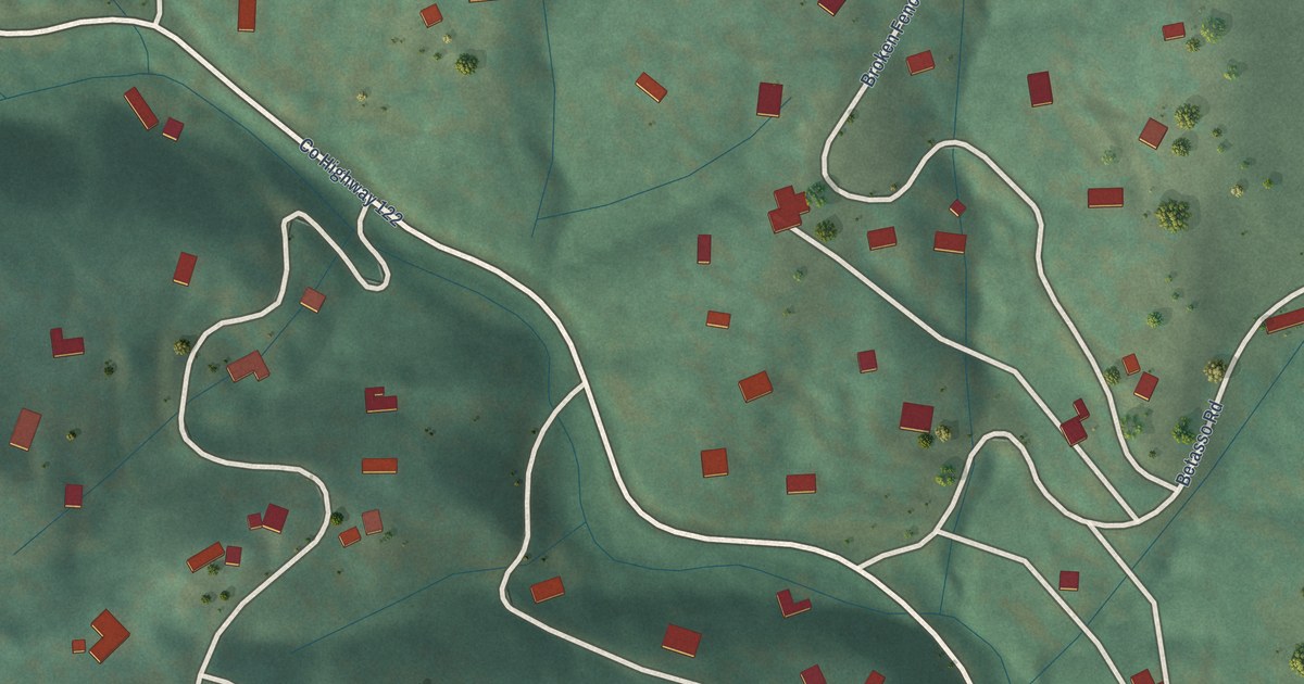
A detailed map of Tall Timber, Colorado, showing every building in its true location, the roads by name, and shaded topographical relief.
Read More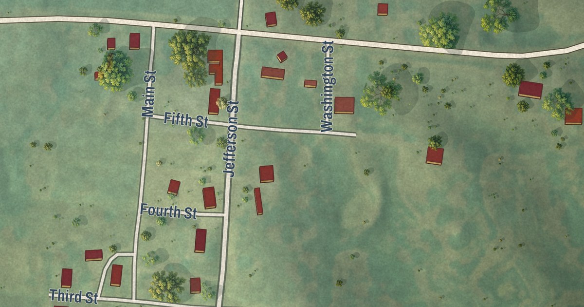
A detailed map of St. Catharine, Missouri, showing every building in its true location, the roads by name, and shaded topographical relief.
Read More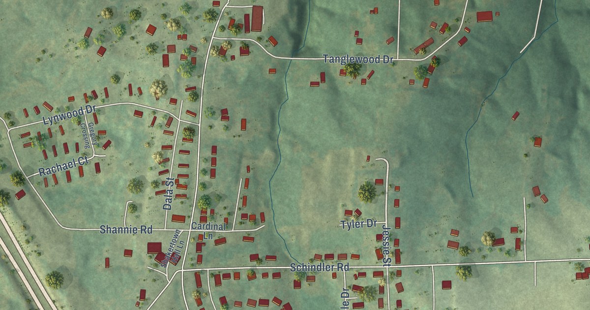
A detailed map of Shakertowne, Missouri, showing every building in its true location, the roads by name, and shaded topographical relief.
Read More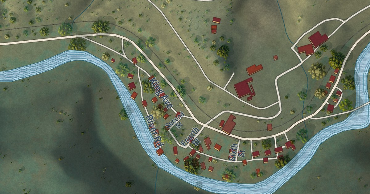
A detailed map of Somerset, Colorado, showing every building in its true location, the roads by name, and shaded topographical relief.
Read More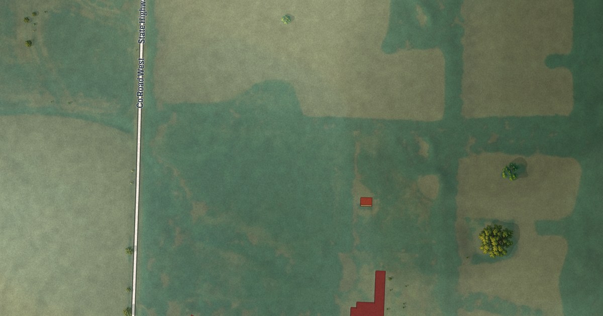
A detailed map of Prairie Hill, Missouri, showing every building in its true location, the roads by name, and shaded topographical relief.
Read More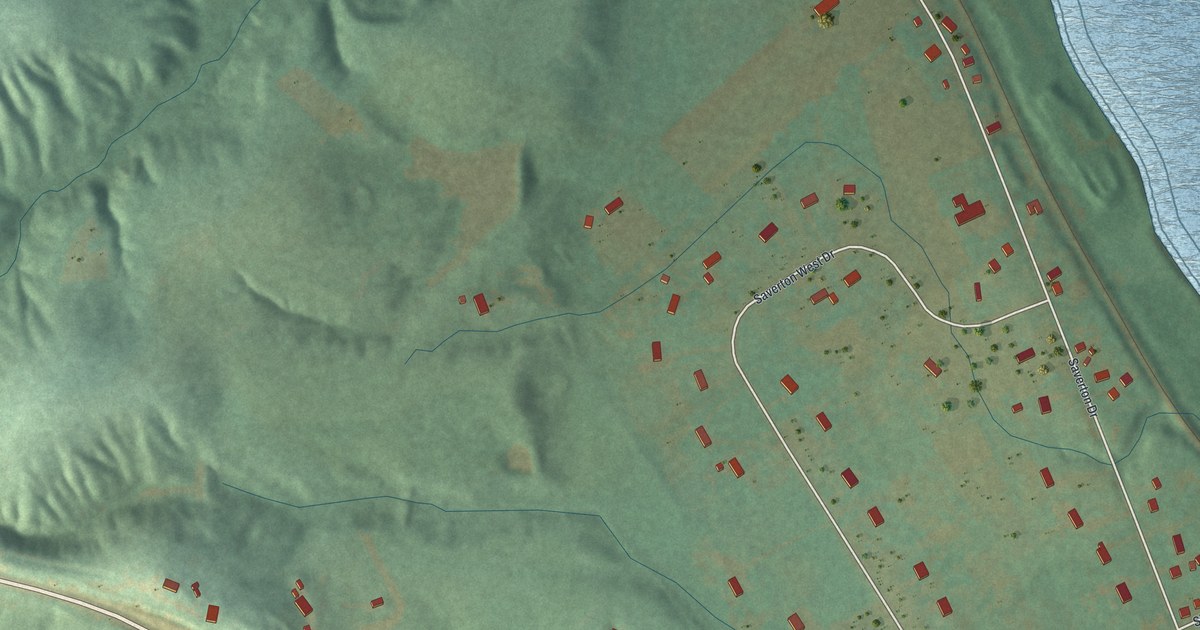
A detailed map of Saverton, Missouri, showing every building in its true location, the roads by name, and shaded topographical relief.
Read More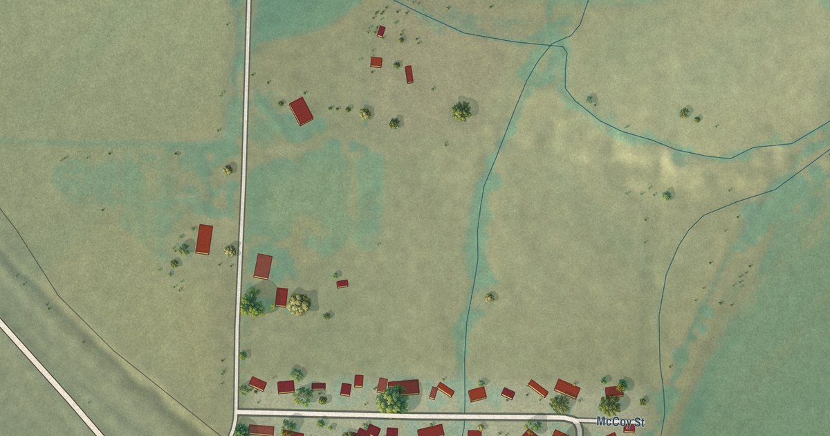
A detailed map of Smeltertown, Colorado, showing every building in its true location, the roads by name, and shaded topographical relief.
Read More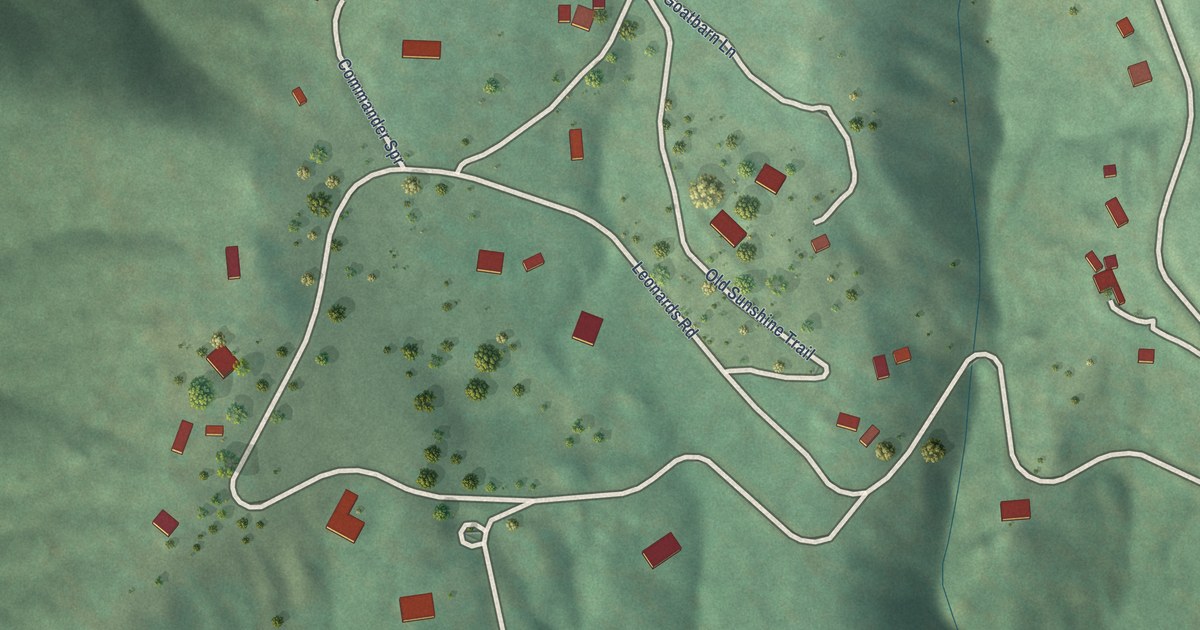
A detailed map of Seven Hills, Colorado, showing every building in its true location, the roads by name, and shaded topographical relief.
Read More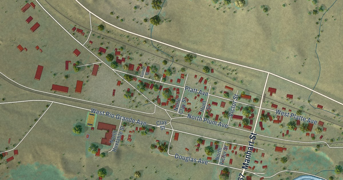
A detailed map of Sedalia, Colorado, showing every building in its true location, the roads by name, and shaded topographical relief.
Read More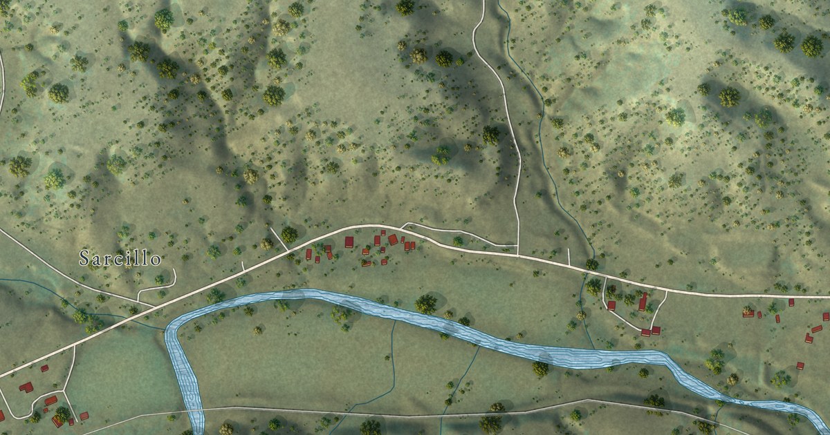
A detailed map of Segundo, Colorado, showing every building in its true location, the roads by name, and shaded topographical relief.
Read More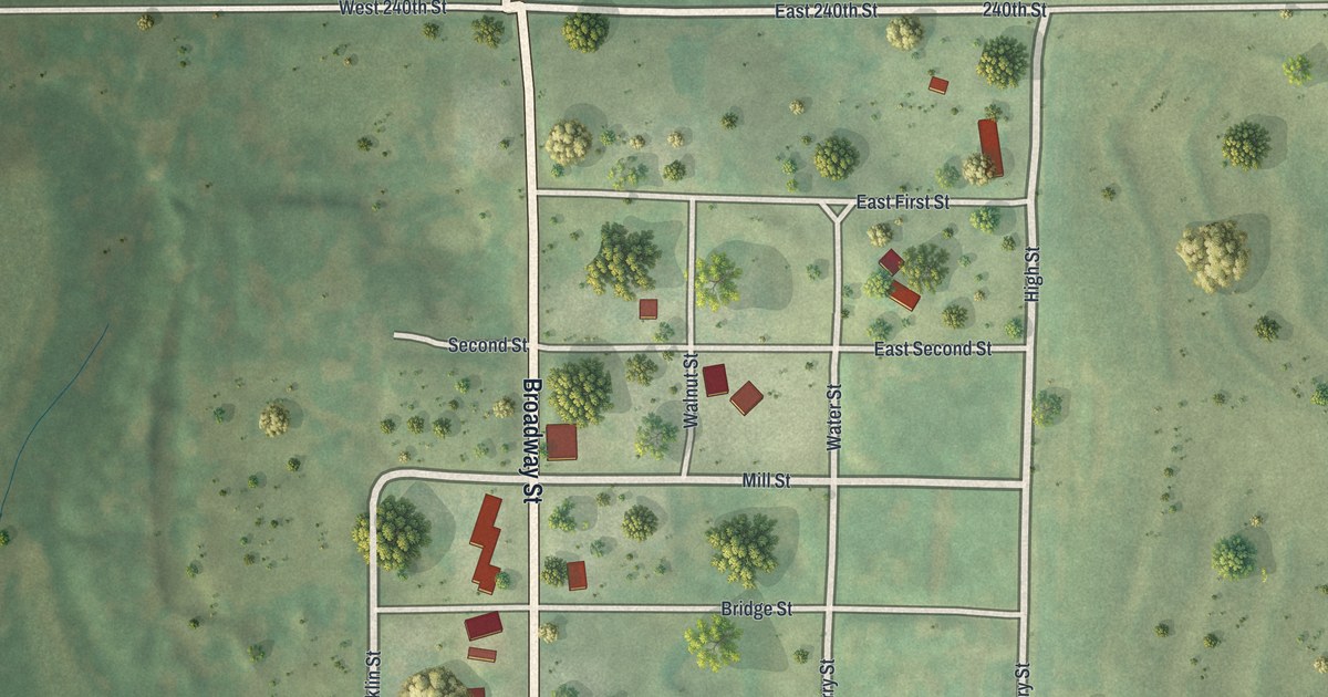
A detailed map of Quitman, Missouri, showing every building in its true location, the roads by name, and shaded topographical relief.
Read More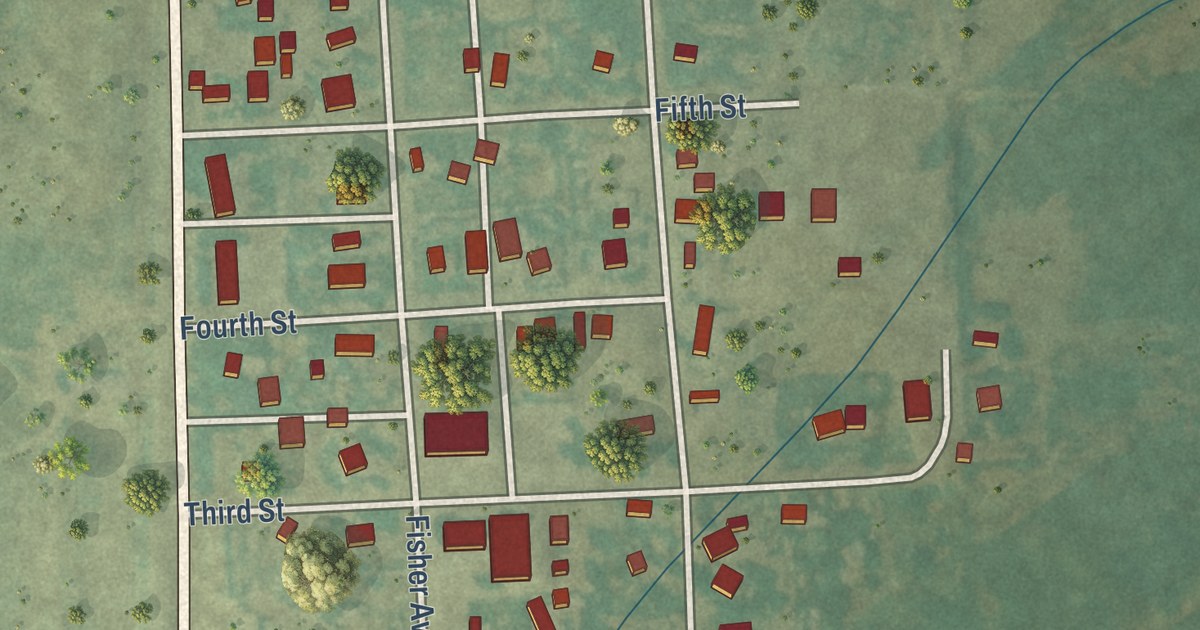
A detailed map of Snyder, Colorado, showing every building in its true location, the roads by name, and shaded topographical relief.
Read More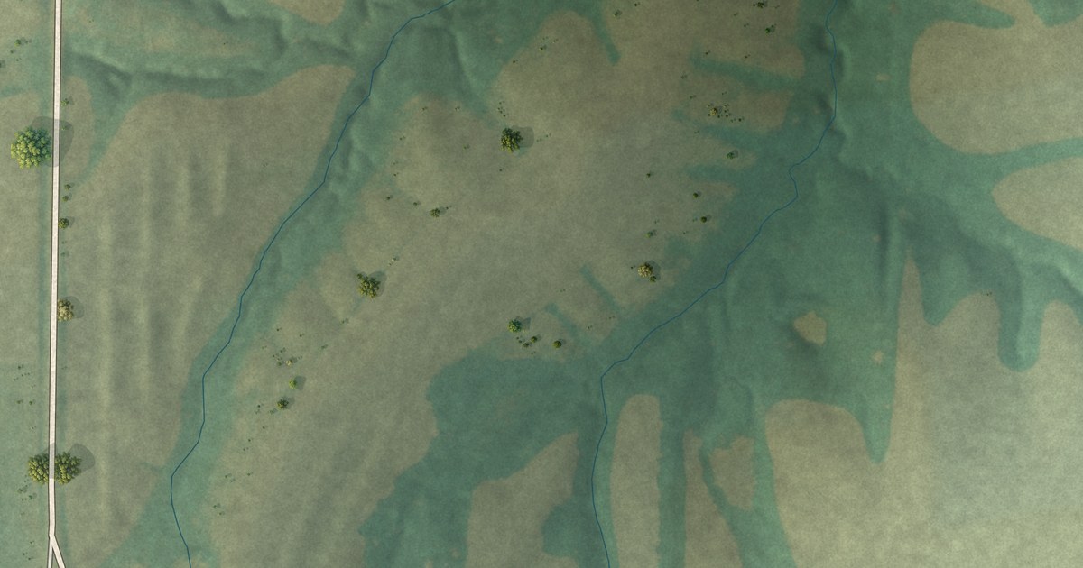
A detailed map of Plevna, Missouri, showing every building in its true location, the roads by name, and shaded topographical relief.
Read More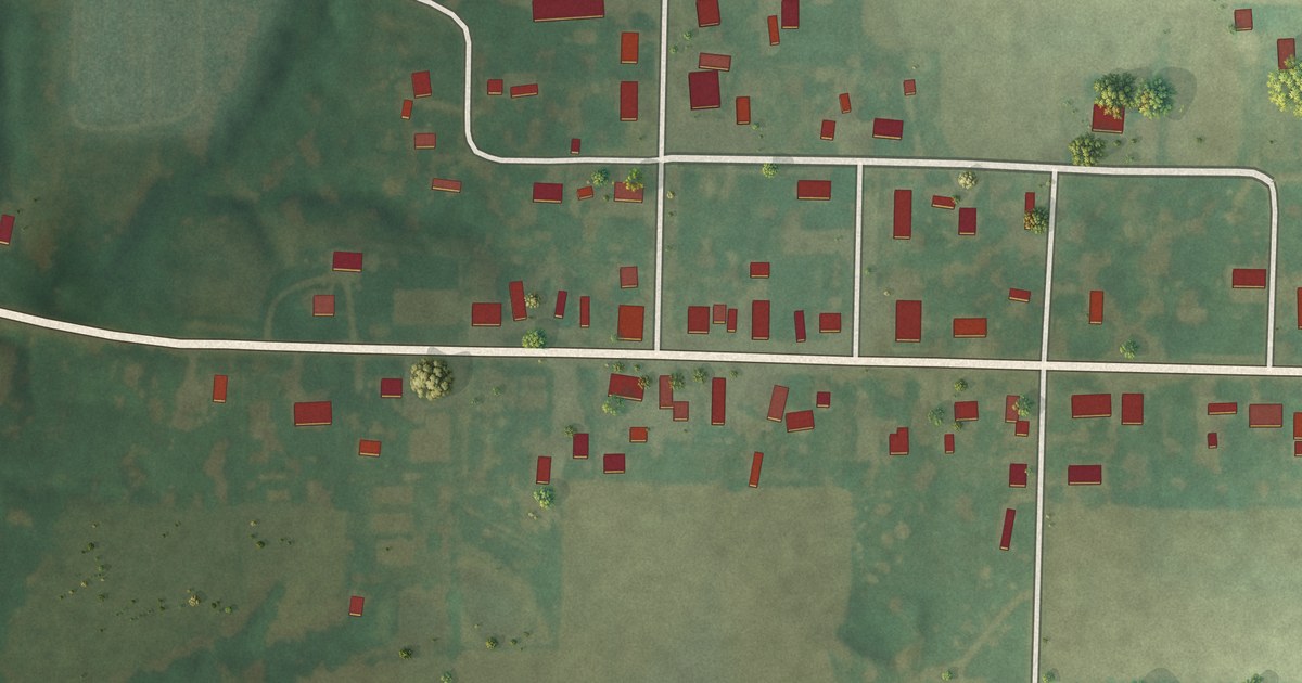
A detailed map of Philadelphia, Missouri, showing every building in its true location, the roads by name, and shaded topographical relief.
Read More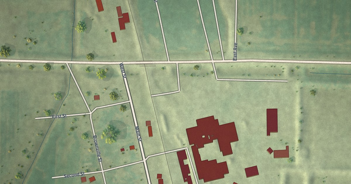
A detailed map of Phelps City, Missouri, showing every building in its true location, the roads by name, and shaded topographical relief.
Read More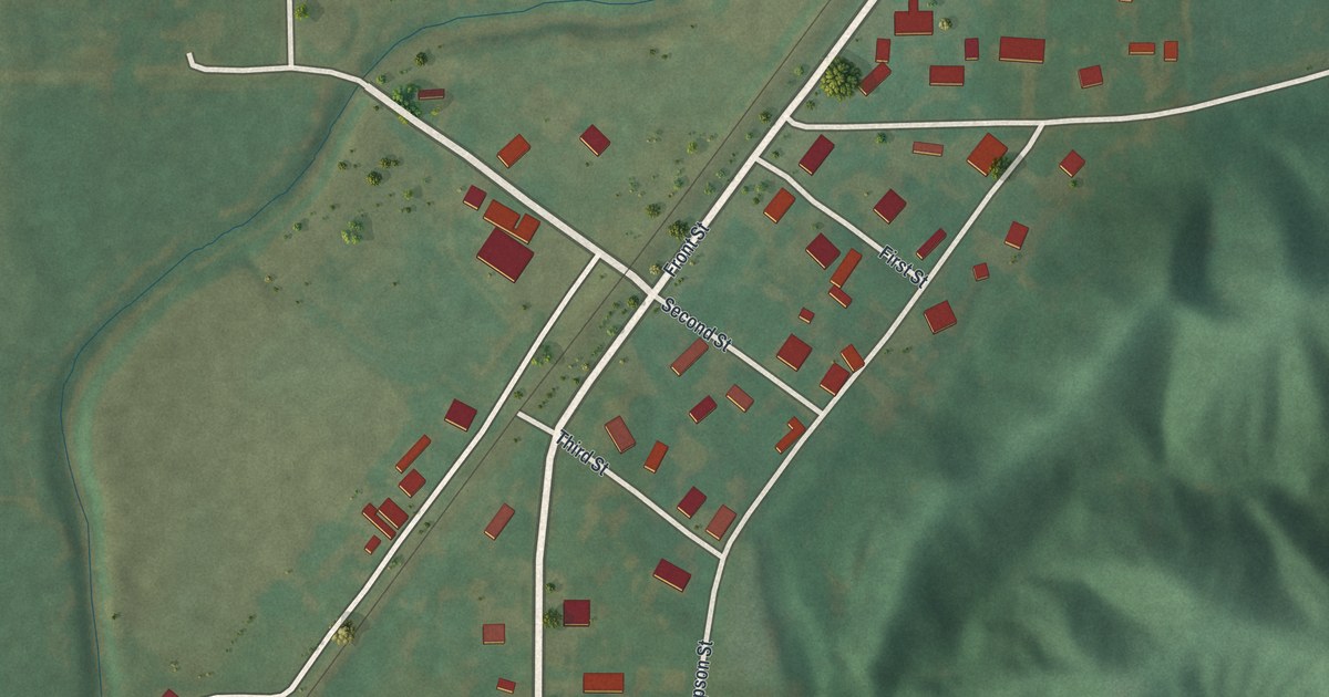
A detailed map of Perkins, Missouri, showing every building in its true location, the roads by name, and shaded topographical relief.
Read More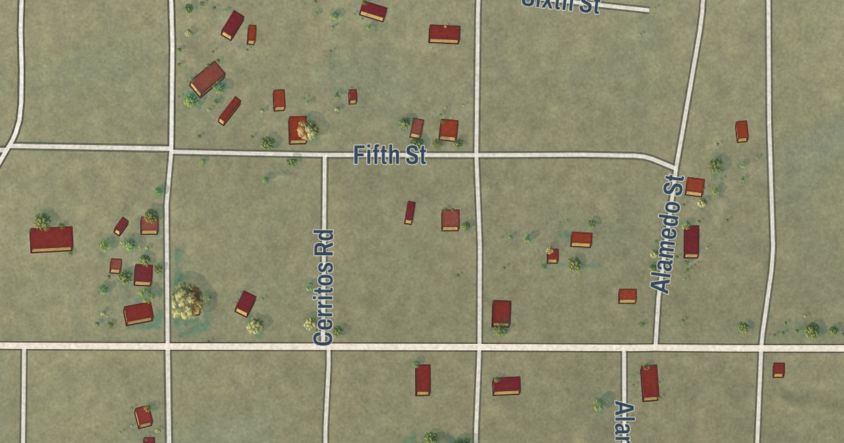
A detailed map of San Acacio, Colorado, showing every building in its true location, the roads by name, and shaded topographical relief.
Read More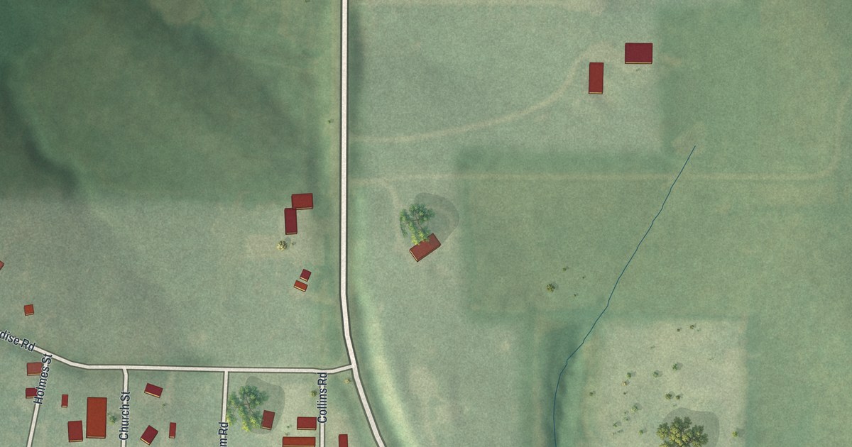
A detailed map of Paradise, Missouri, showing every building in its true location, the roads by name, and shaded topographical relief.
Read More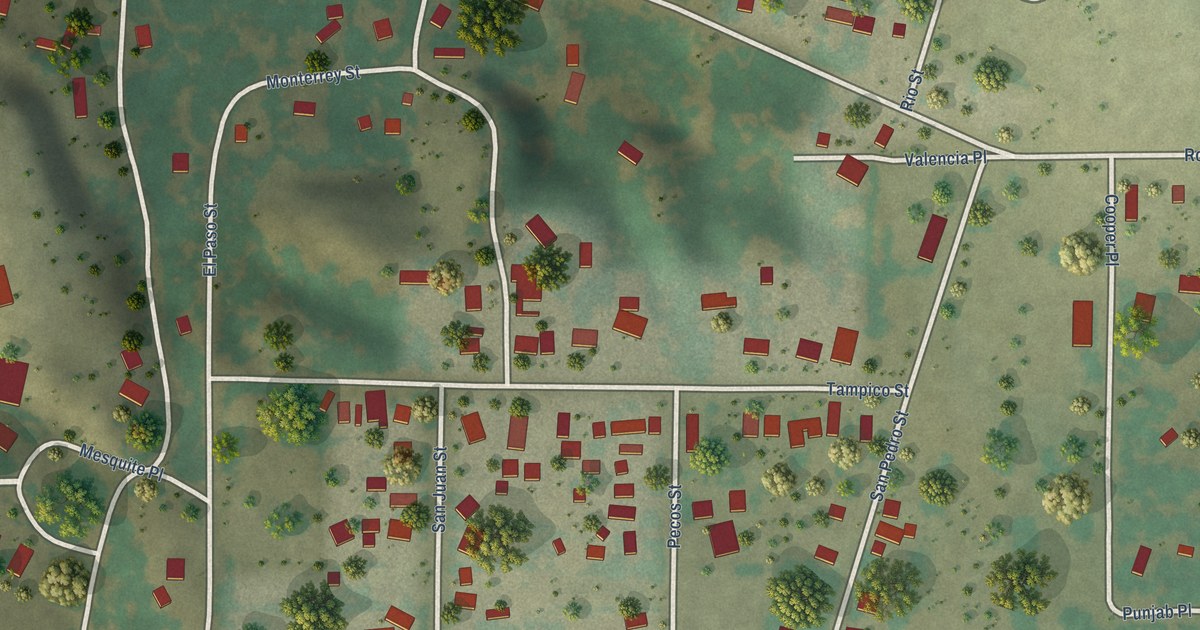
A detailed map of Salt Creek, Colorado, showing every building in its true location, the roads by name, and shaded topographical relief.
Read More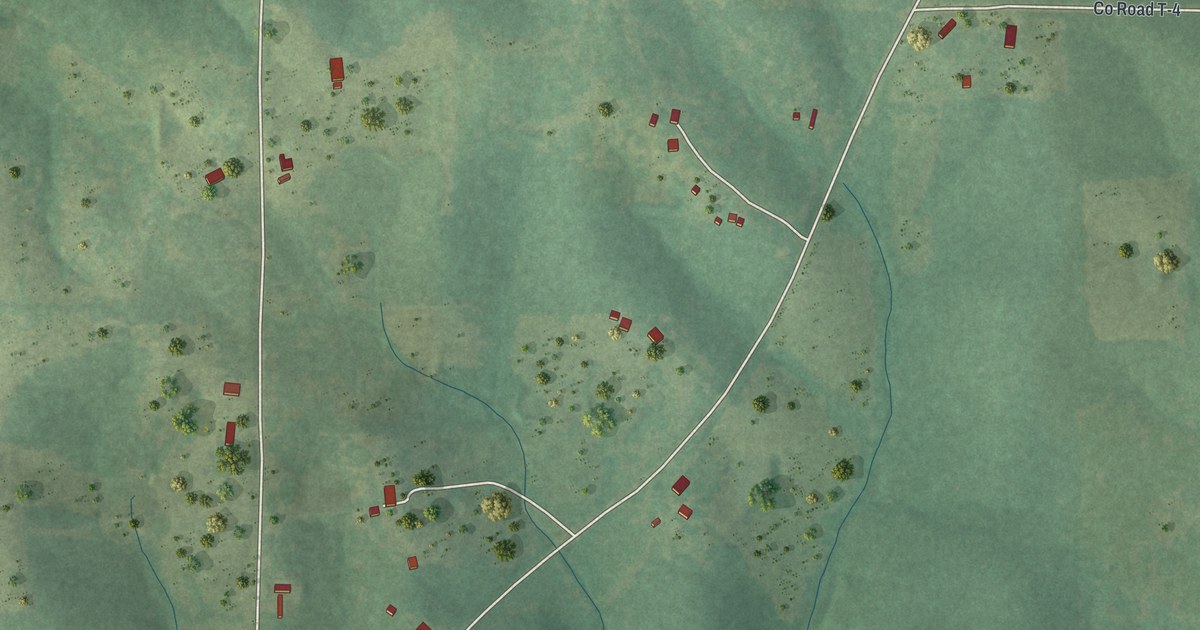
A detailed map of Oxly, Missouri, showing every building in its true location, the roads by name, and shaded topographical relief.
Read More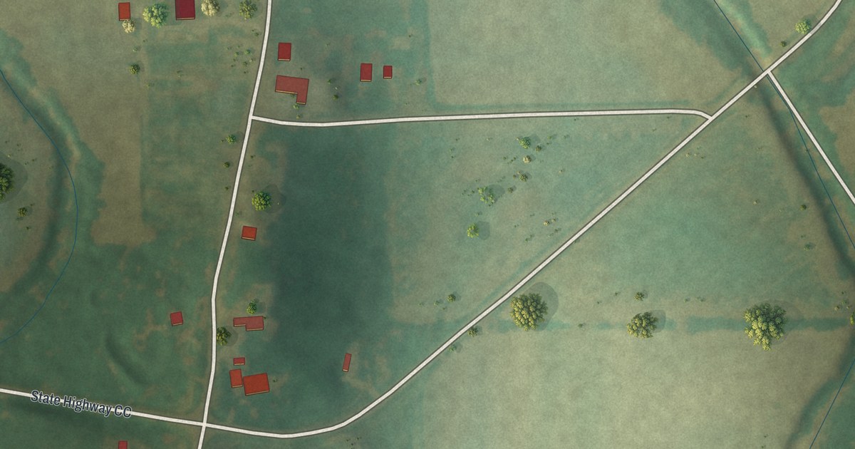
A detailed map of New Wells, Missouri, showing every building in its true location, the roads by name, and shaded topographical relief.
Read More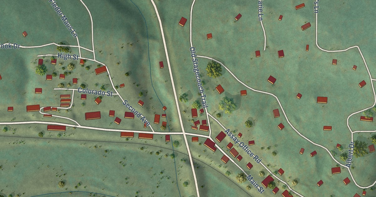
A detailed map of Rollinsville, Colorado, showing every building in its true location, the roads by name, and shaded topographical relief.
Read More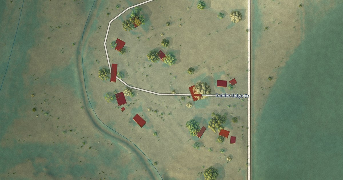
A detailed map of Saddle Ridge, Colorado, showing every building in its true location, the roads by name, and shaded topographical relief.
Read More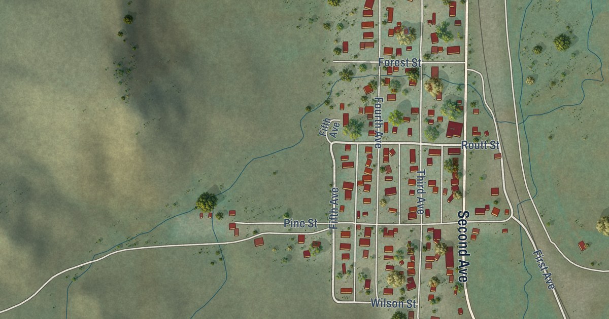
A detailed map of Phippsburg, Colorado, showing every building in its true location, the roads by name, and shaded topographical relief.
Read More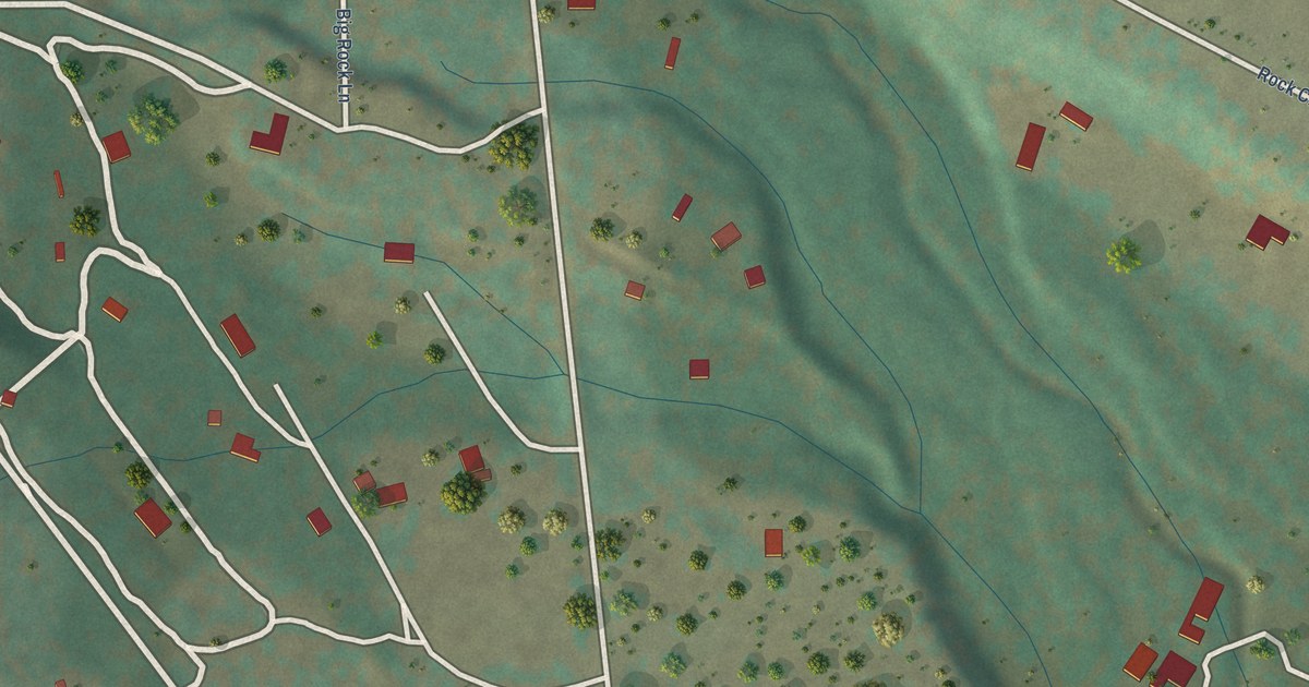
A detailed map of Rock Creek Park, Colorado, showing every building in its true location, the roads by name, and shaded topographical relief.
Read More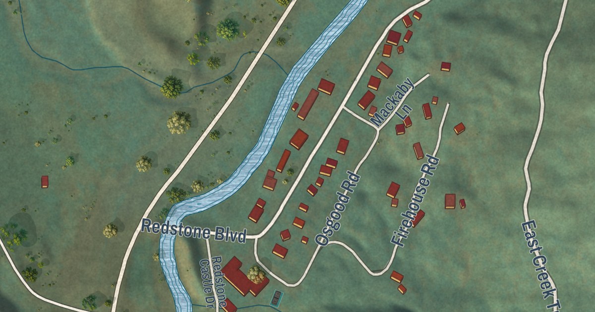
A detailed map of Redstone, Colorado, showing every building in its true location, the roads by name, and shaded topographical relief.
Read More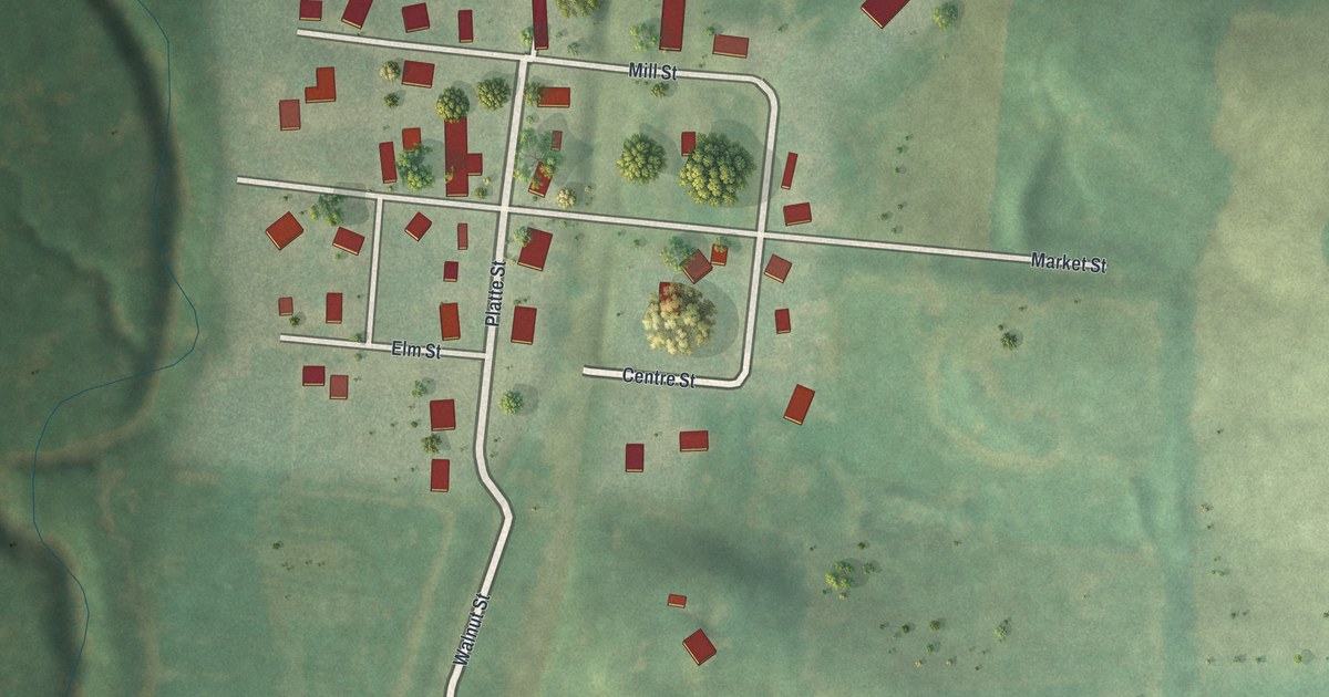
A detailed map of New Market, Missouri, showing every building in its true location, the roads by name, and shaded topographical relief.
Read More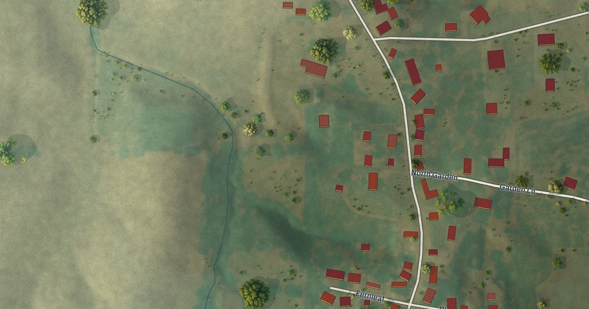
A detailed map of New Hamburg, Missouri, showing every building in its true location, the roads by name, and shaded topographical relief.
Read More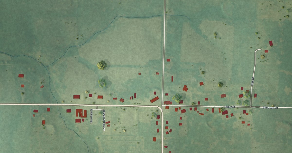
A detailed map of Montreal, Missouri, showing every building in its true location, the roads by name, and shaded topographical relief.
Read More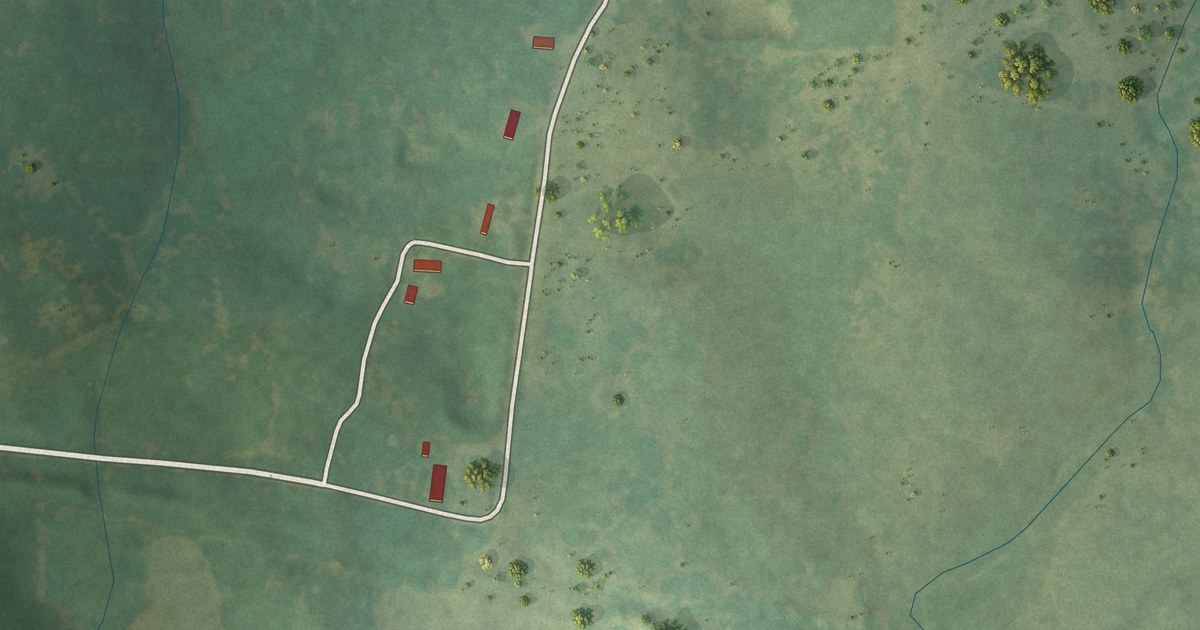
A detailed map of Montier, Missouri, showing every building in its true location, the roads by name, and shaded topographical relief.
Read More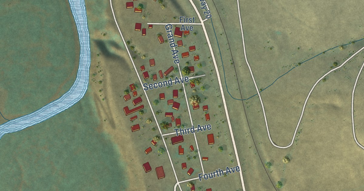
A detailed map of Parshall, Colorado, showing every building in its true location, the roads by name, and shaded topographical relief.
Read More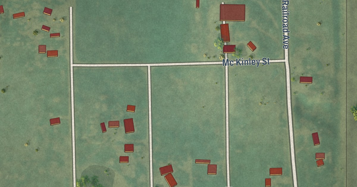
A detailed map of Padroni, Colorado, showing every building in its true location, the roads by name, and shaded topographical relief.
Read More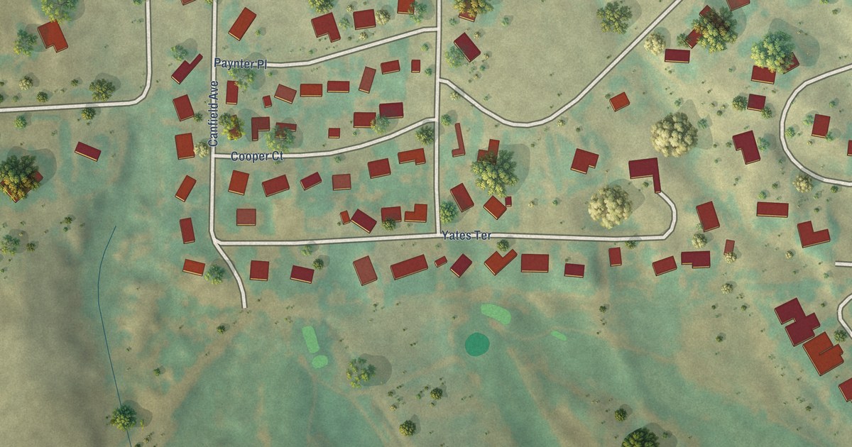
A detailed map of Morgan Heights, Colorado, showing every building in its true location, the roads by name, and shaded topographical relief.
Read More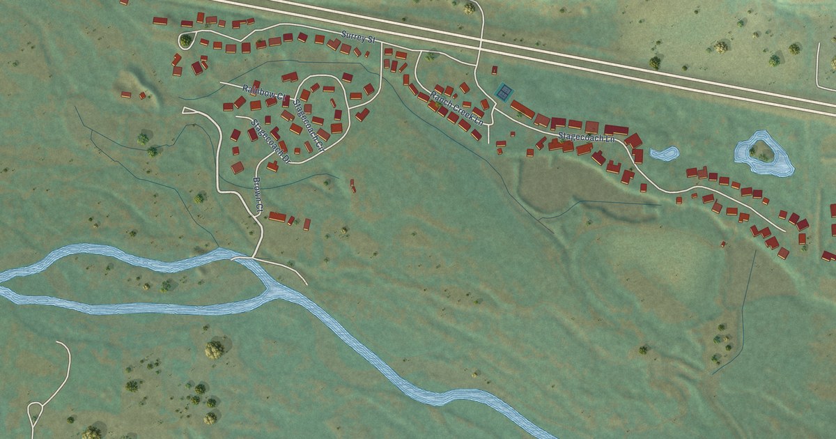
A detailed map of Mulford, Colorado, showing every building in its true location, the roads by name, and shaded topographical relief.
Read More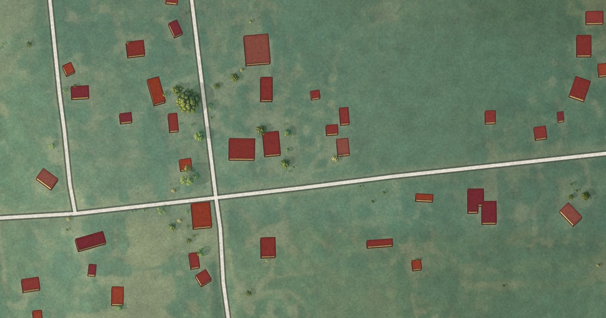
A detailed map of Middle Grove, Missouri, showing every building in its true location, the roads by name, and shaded topographical relief.
Read More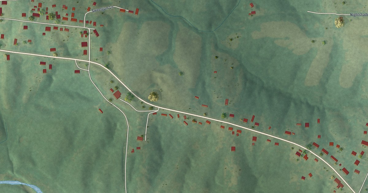
A detailed map of Millersville, Missouri, showing every building in its true location, the roads by name, and shaded topographical relief.
Read More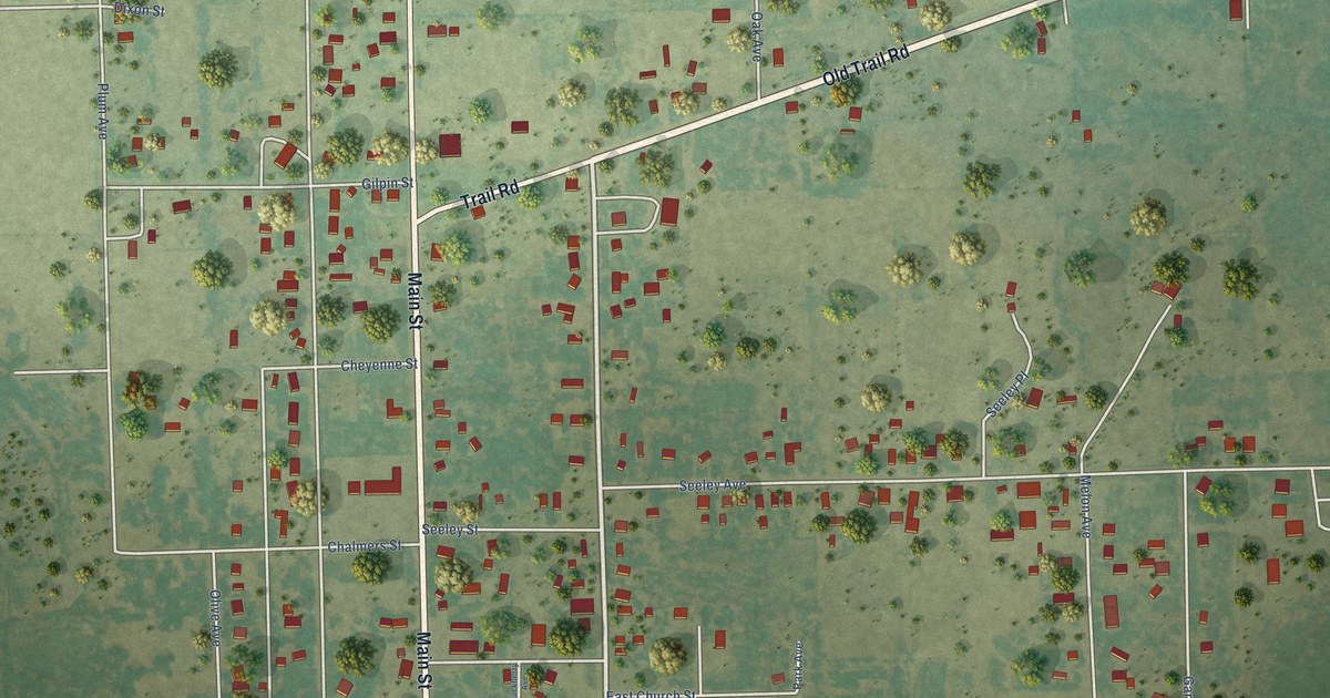
A detailed map of North La Junta, Colorado, showing every building in its true location, the roads by name, and shaded topographical relief.
Read More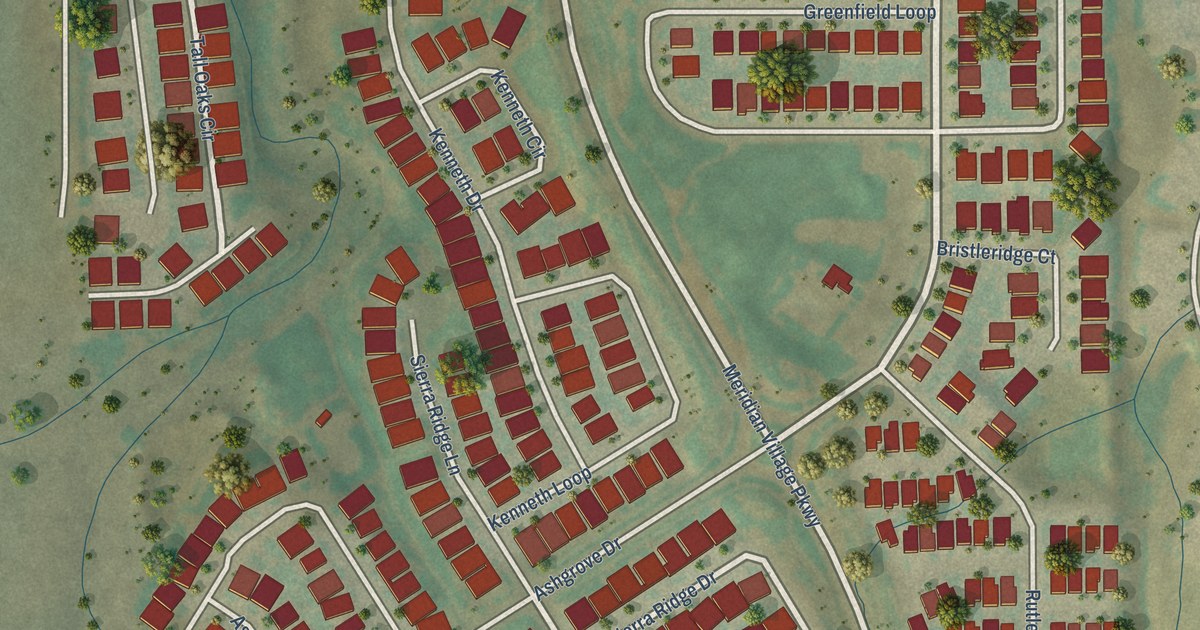
A detailed map of Meridian Village, Colorado, showing every building in its true location, the roads by name, and shaded topographical relief.
Read More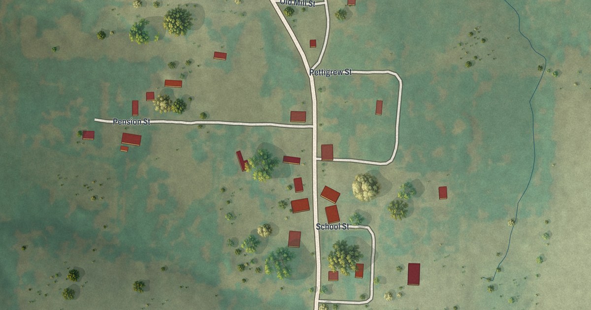
A detailed map of Latham, Missouri, showing every building in its true location, the roads by name, and shaded topographical relief.
Read More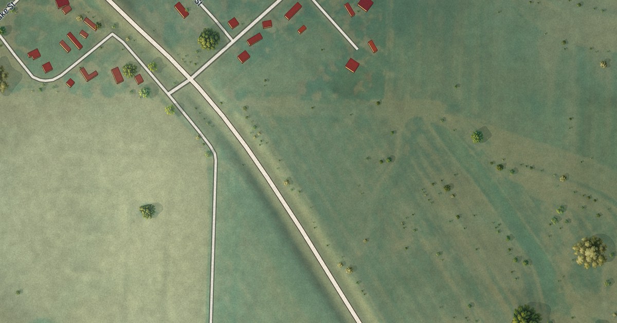
A detailed map of Medill, Missouri, showing every building in its true location, the roads by name, and shaded topographical relief.
Read More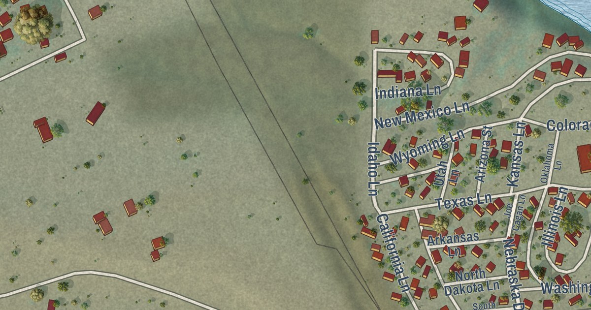
A detailed map of Nathrop, Colorado, showing every building in its true location, the roads by name, and shaded topographical relief.
Read More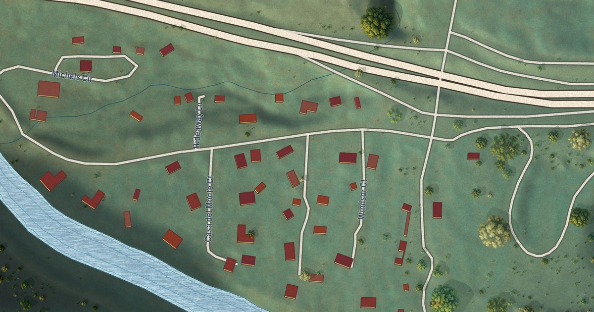
A detailed map of No Name, Colorado, showing every building in its true location, the roads by name, and shaded topographical relief.
Read More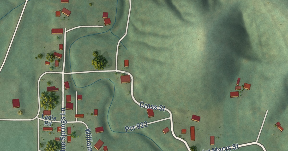
A detailed map of Lithium, Missouri, showing every building in its true location, the roads by name, and shaded topographical relief.
Read More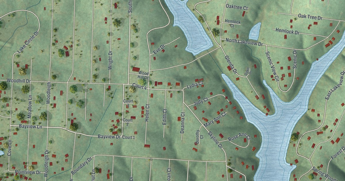
A detailed map of Lake Timberline, Missouri, showing every building in its true location, the roads by name, and shaded topographical relief.
Read More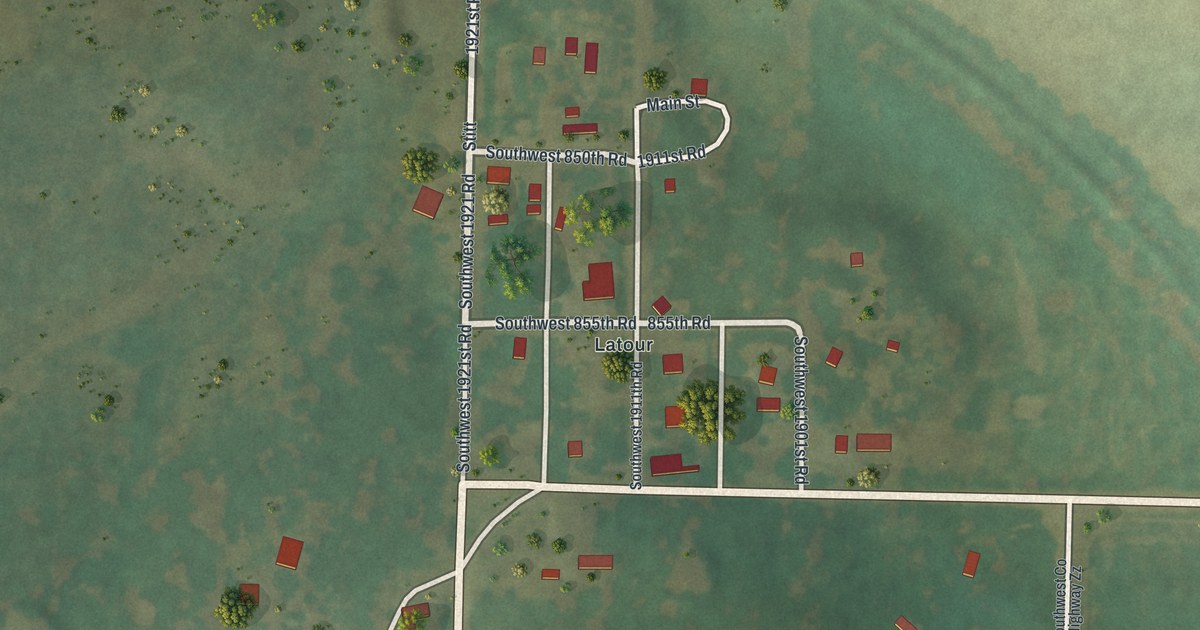
A detailed map of La Tour, Missouri, showing every building in its true location, the roads by name, and shaded topographical relief.
Read More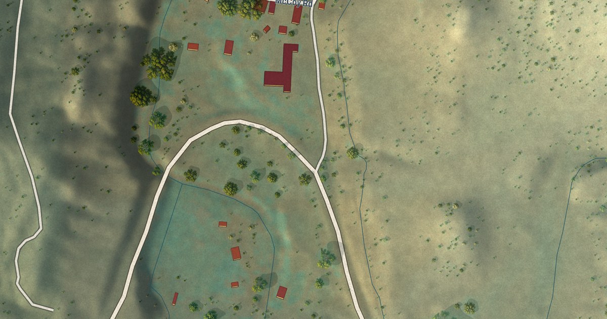
A detailed map of McCoy, Colorado, showing every building in its true location, the roads by name, and shaded topographical relief.
Read More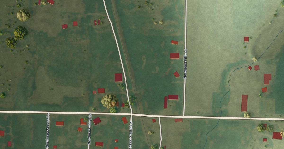
A detailed map of Irwin, Missouri, showing every building in its true location, the roads by name, and shaded topographical relief.
Read More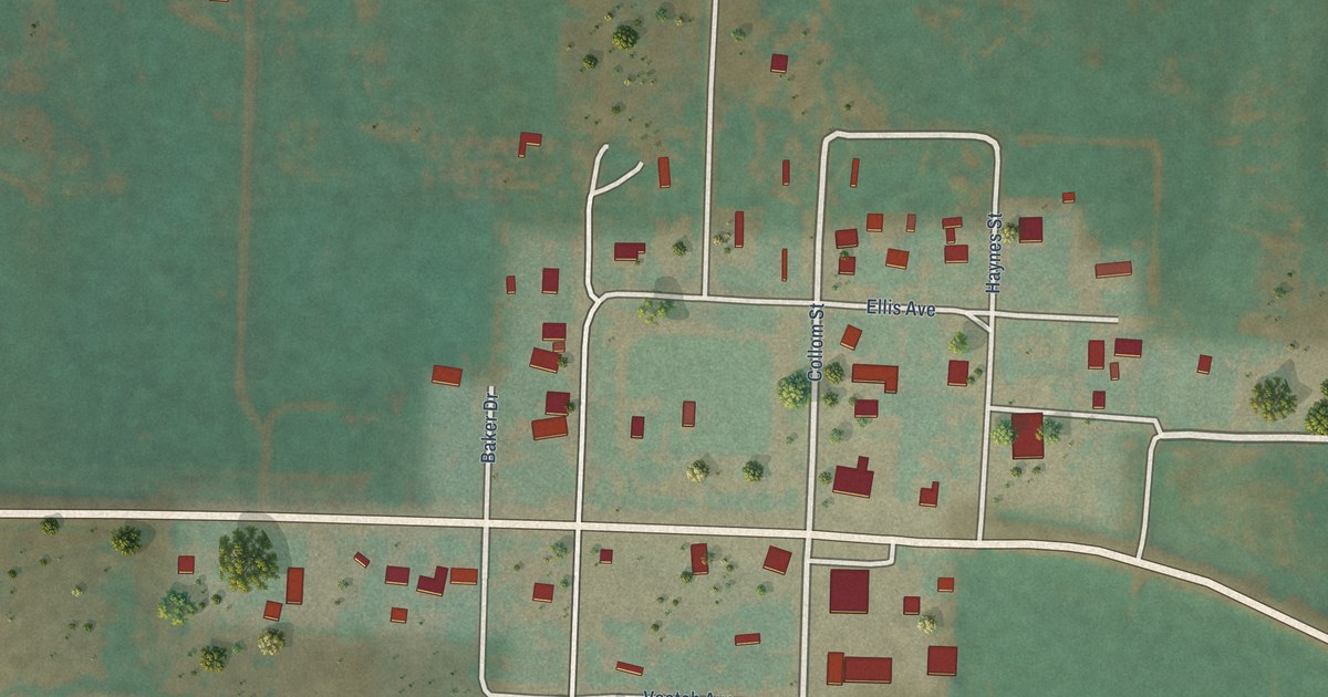
A detailed map of Maybell, Colorado, showing every building in its true location, the roads by name, and shaded topographical relief.
Read More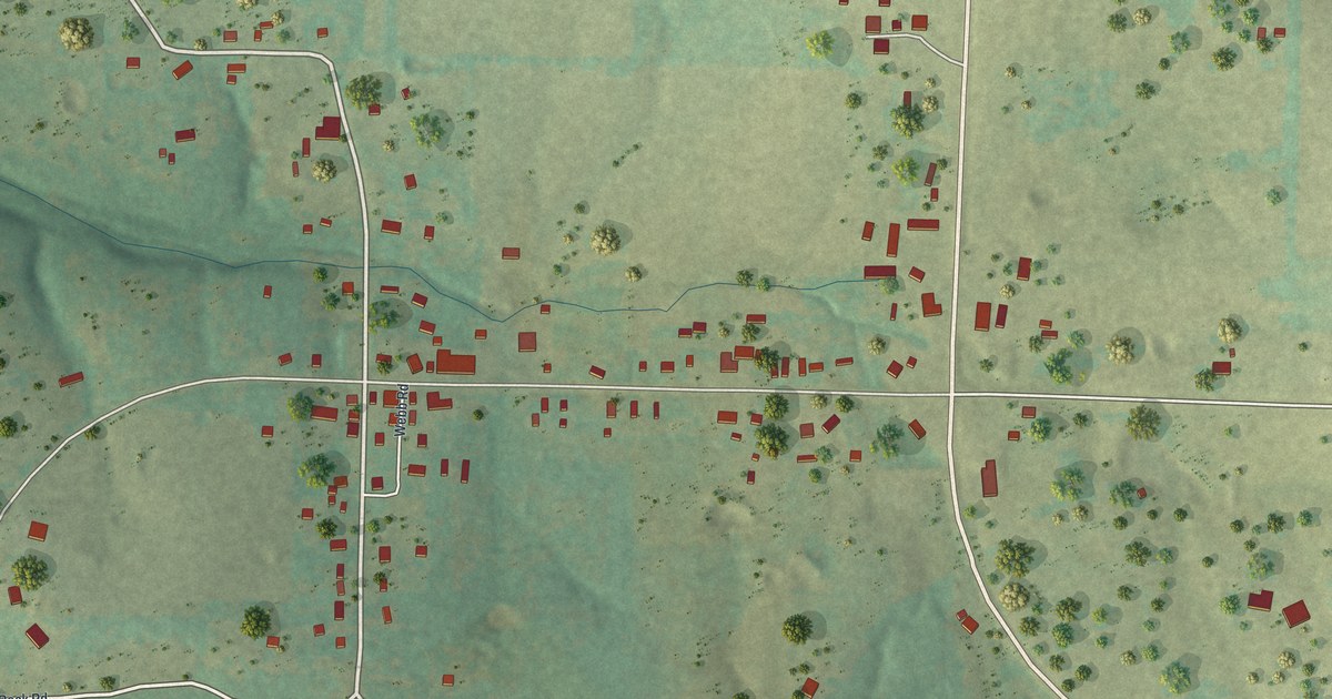
A detailed map of Grovespring, Missouri, showing every building in its true location, the roads by name, and shaded topographical relief.
Read More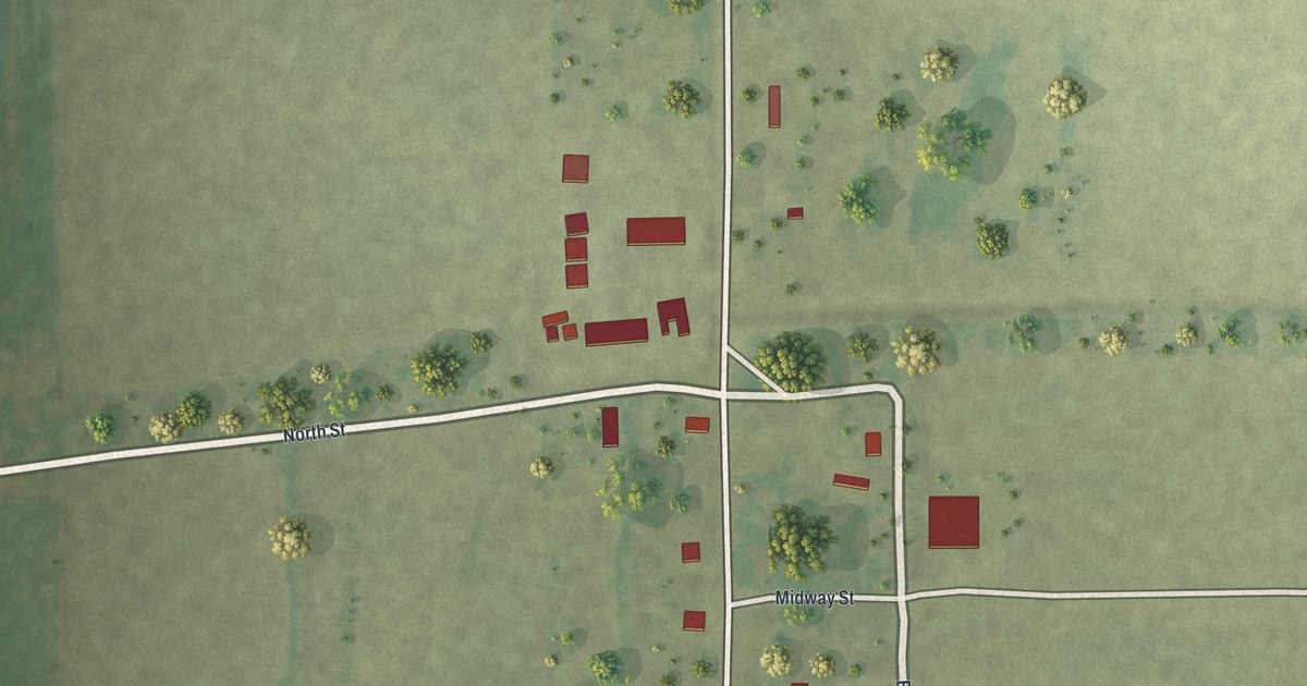
A detailed map of Hollywood, Missouri, showing every building in its true location, the roads by name, and shaded topographical relief.
Read More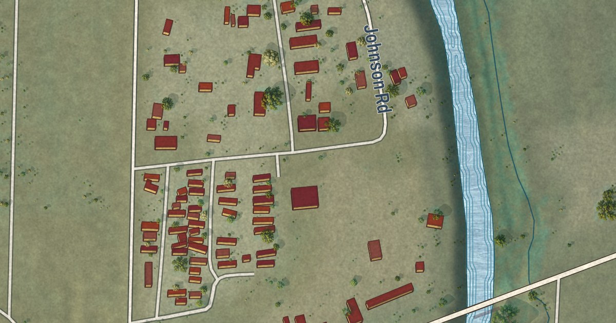
A detailed map of Johnson Village, Colorado, showing every building in its true location, the roads by name, and shaded topographical relief.
Read More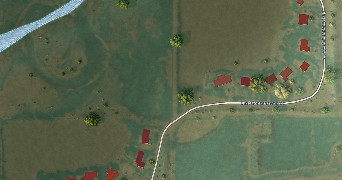
A detailed map of Leyner, Colorado, showing every building in its true location, the roads by name, and shaded topographical relief.
Read More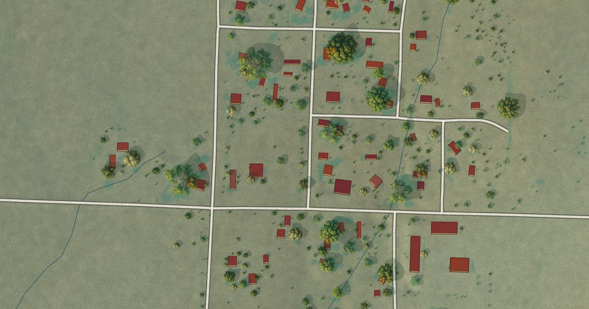
A detailed map of Marvel, Colorado, showing every building in its true location, the roads by name, and shaded topographical relief.
Read More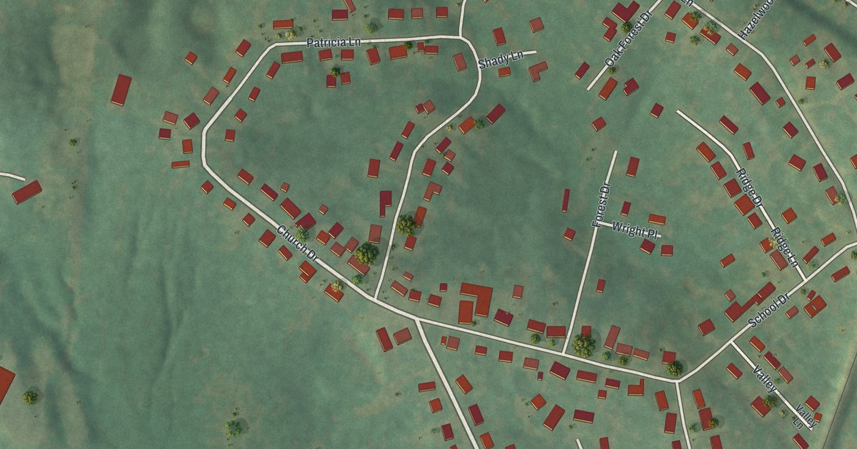
A detailed map of Horine, Missouri, showing every building in its true location, the roads by name, and shaded topographical relief.
Read More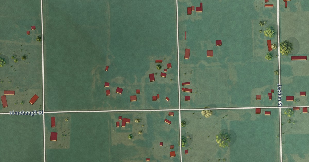
A detailed map of La Junta Gardens, Colorado, showing every building in its true location, the roads by name, and shaded topographical relief.
Read More
A detailed map of Hayward, Missouri, showing every building in its true location, the roads by name, and shaded topographical relief.
Read More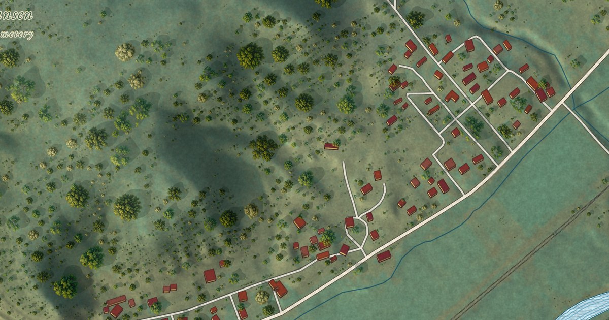
A detailed map of Jansen, Colorado, showing every building in its true location, the roads by name, and shaded topographical relief.
Read More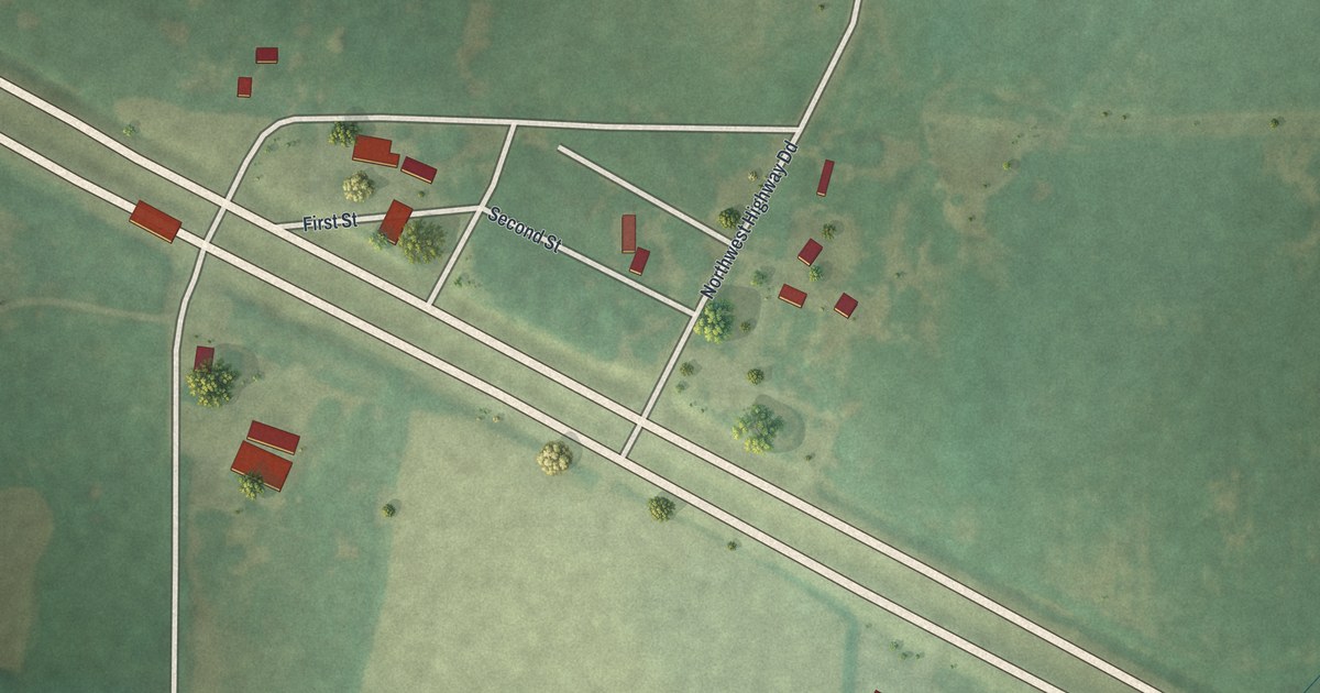
A detailed map of Hartwell, Missouri, showing every building in its true location, the roads by name, and shaded topographical relief.
Read More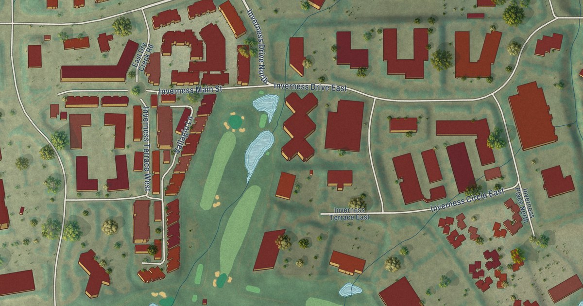
A detailed map of Inverness, Colorado, showing every building in its true location, the roads by name, and shaded topographical relief.
Read More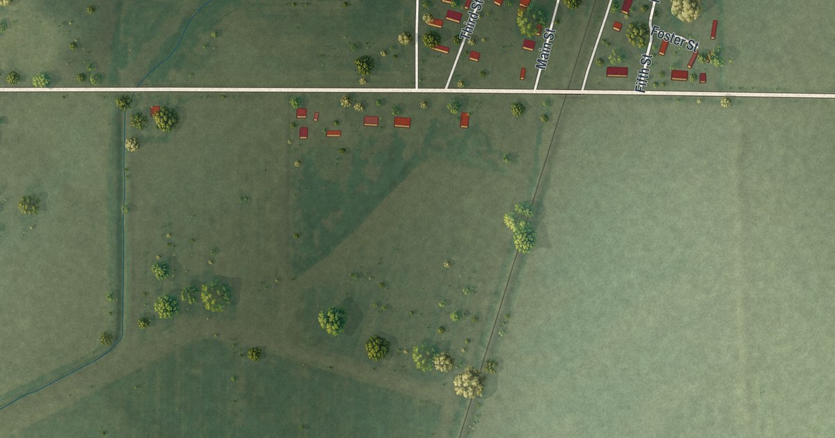
A detailed map of Harviell, Missouri, showing every building in its true location, the roads by name, and shaded topographical relief.
Read More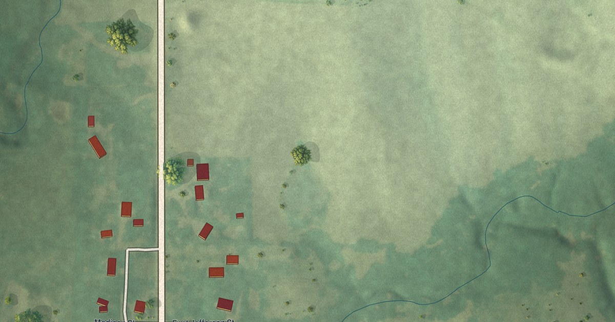
A detailed map of Grayson, Missouri, showing every building in its true location, the roads by name, and shaded topographical relief.
Read More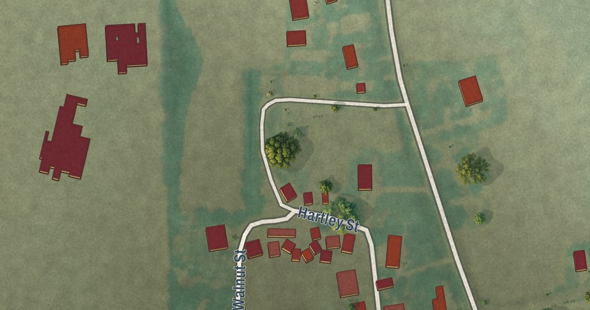
A detailed map of Grayridge, Missouri, showing every building in its true location, the roads by name, and shaded topographical relief.
Read More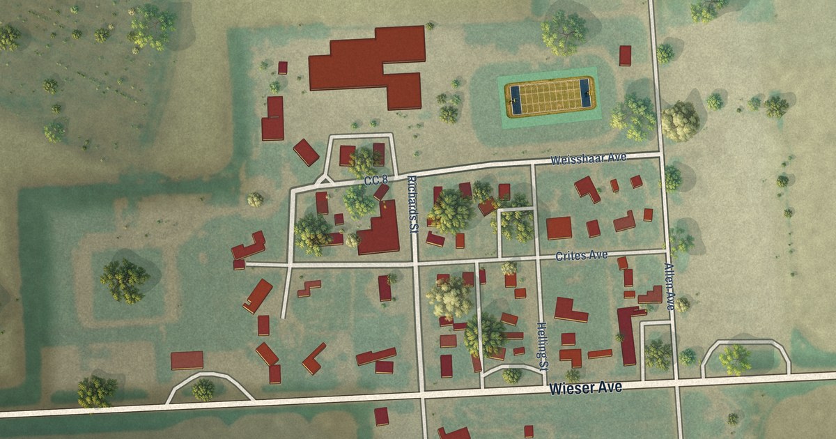
A detailed map of Idalia, Colorado, showing every building in its true location, the roads by name, and shaded topographical relief.
Read More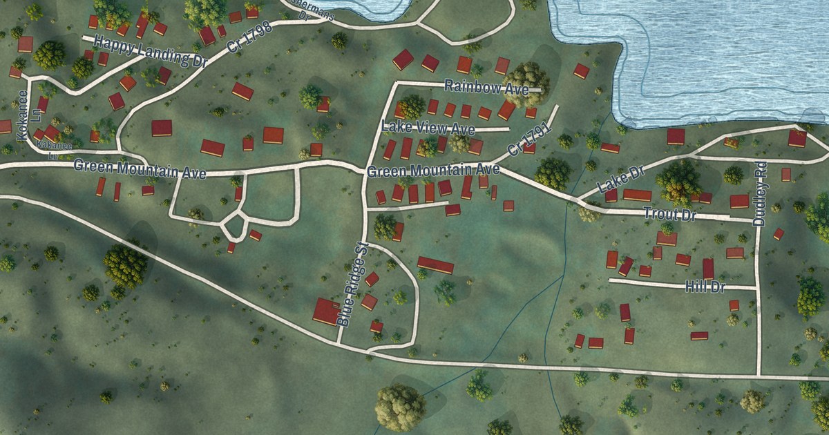
A detailed map of Heeney, Colorado, showing every building in its true location, the roads by name, and shaded topographical relief.
Read More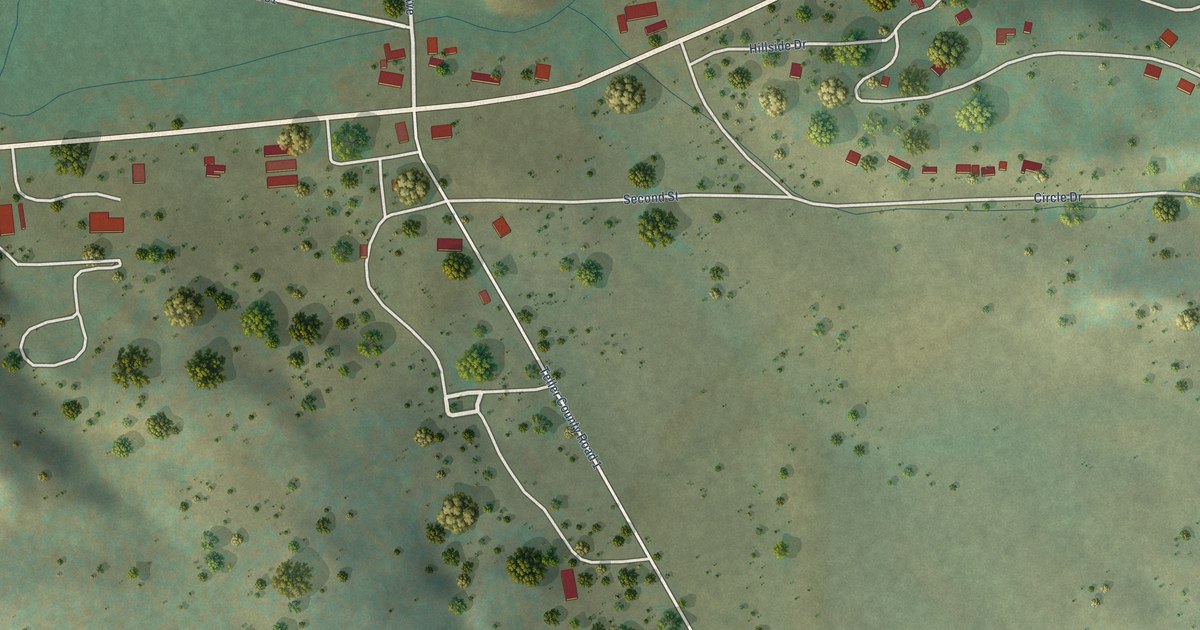
A detailed map of Florissant, Colorado, showing every building in its true location, the roads by name, and shaded topographical relief.
Read More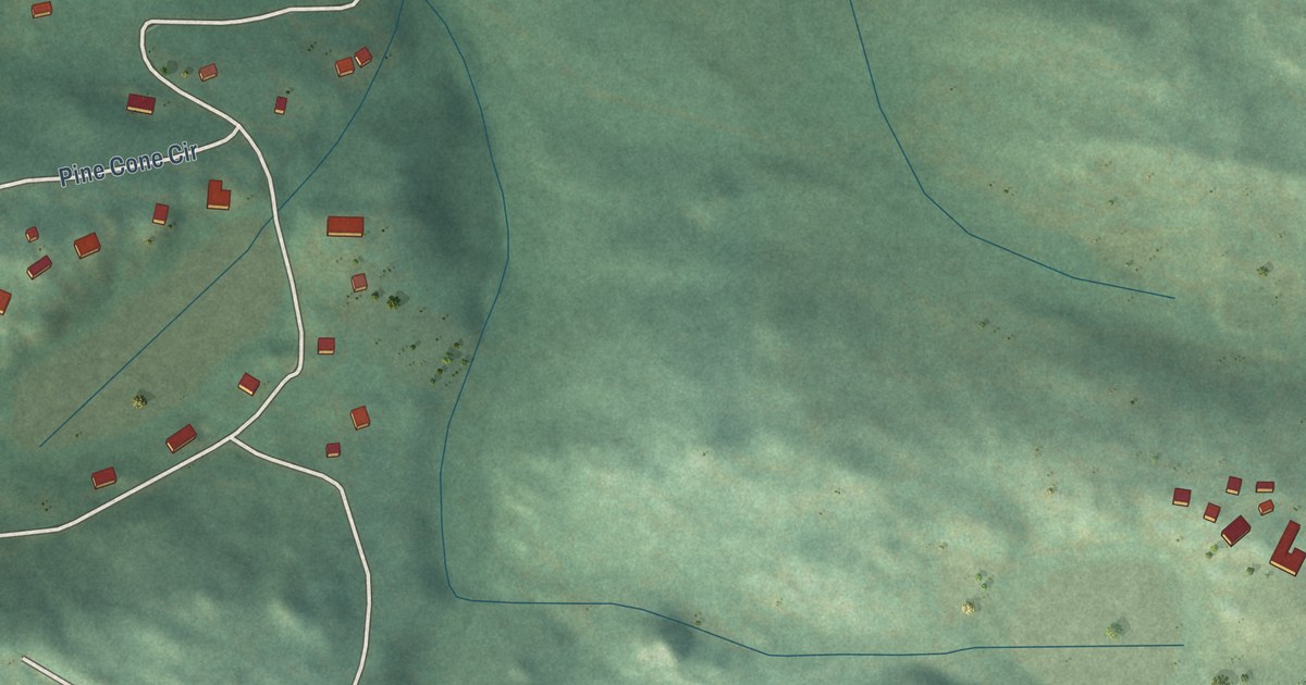
A detailed map of Hidden Lake, Colorado, showing every building in its true location, the roads by name, and shaded topographical relief.
Read More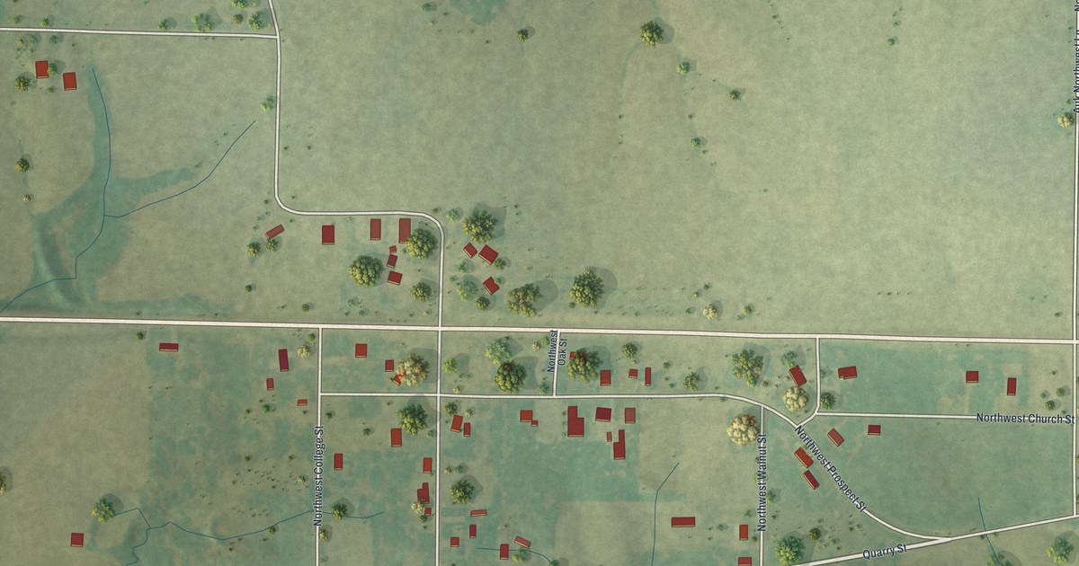
A detailed map of Edinburg, Missouri, showing every building in its true location, the roads by name, and shaded topographical relief.
Read More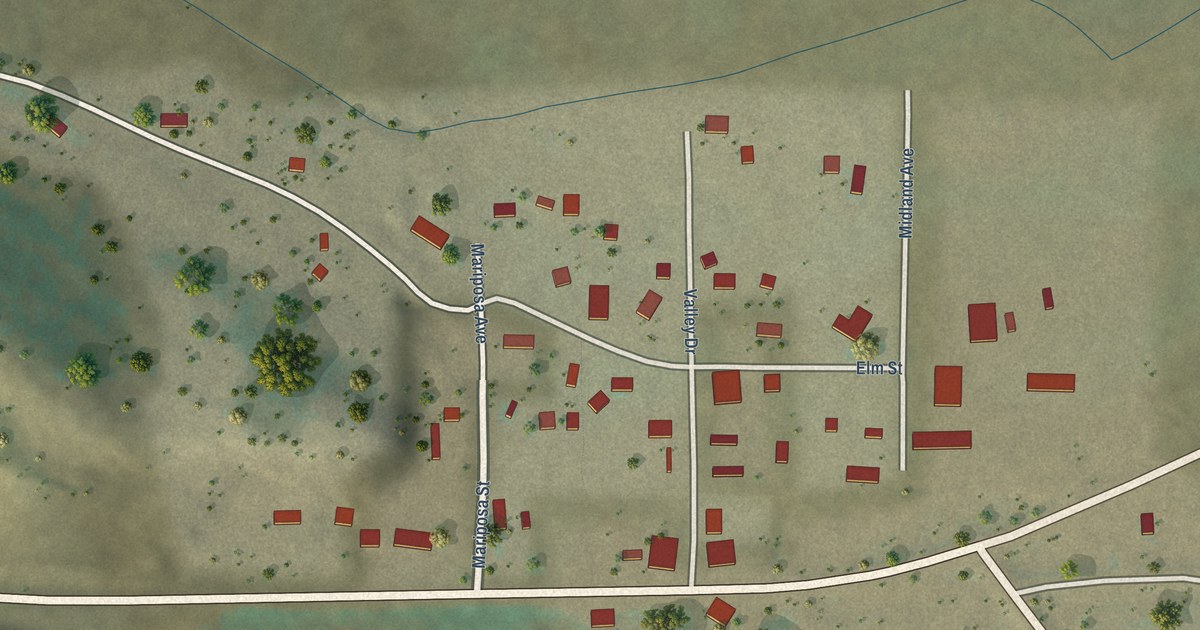
A detailed map of Hartsel, Colorado, showing every building in its true location, the roads by name, and shaded topographical relief.
Read More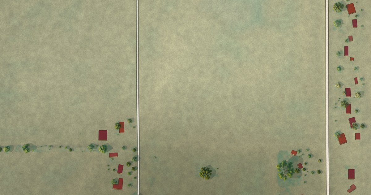
A detailed map of Frisbee, Missouri, showing every building in its true location, the roads by name, and shaded topographical relief.
Read More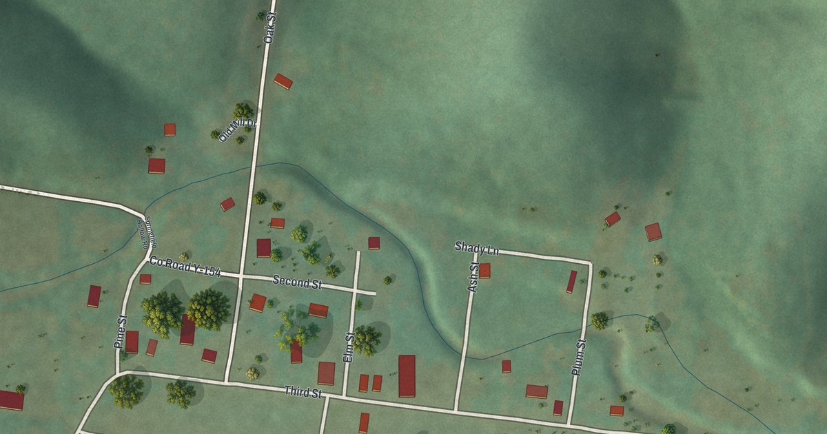
A detailed map of Fremont, Missouri, showing every building in its true location, the roads by name, and shaded topographical relief.
Read More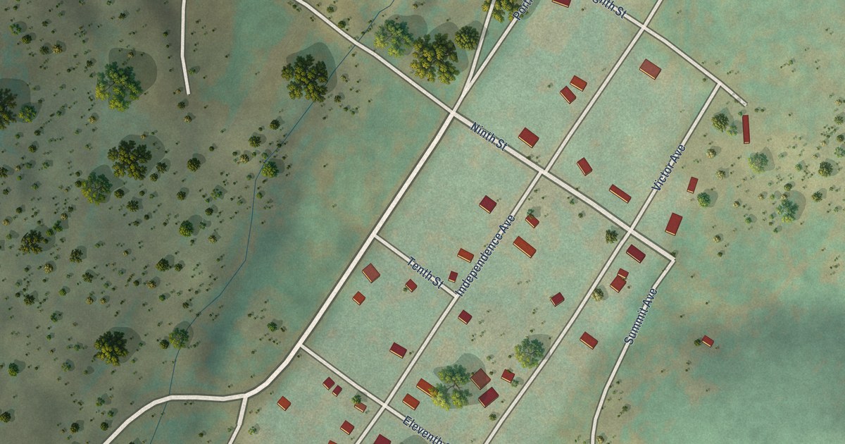
A detailed map of Goldfield, Colorado, showing every building in its true location, the roads by name, and shaded topographical relief.
Read More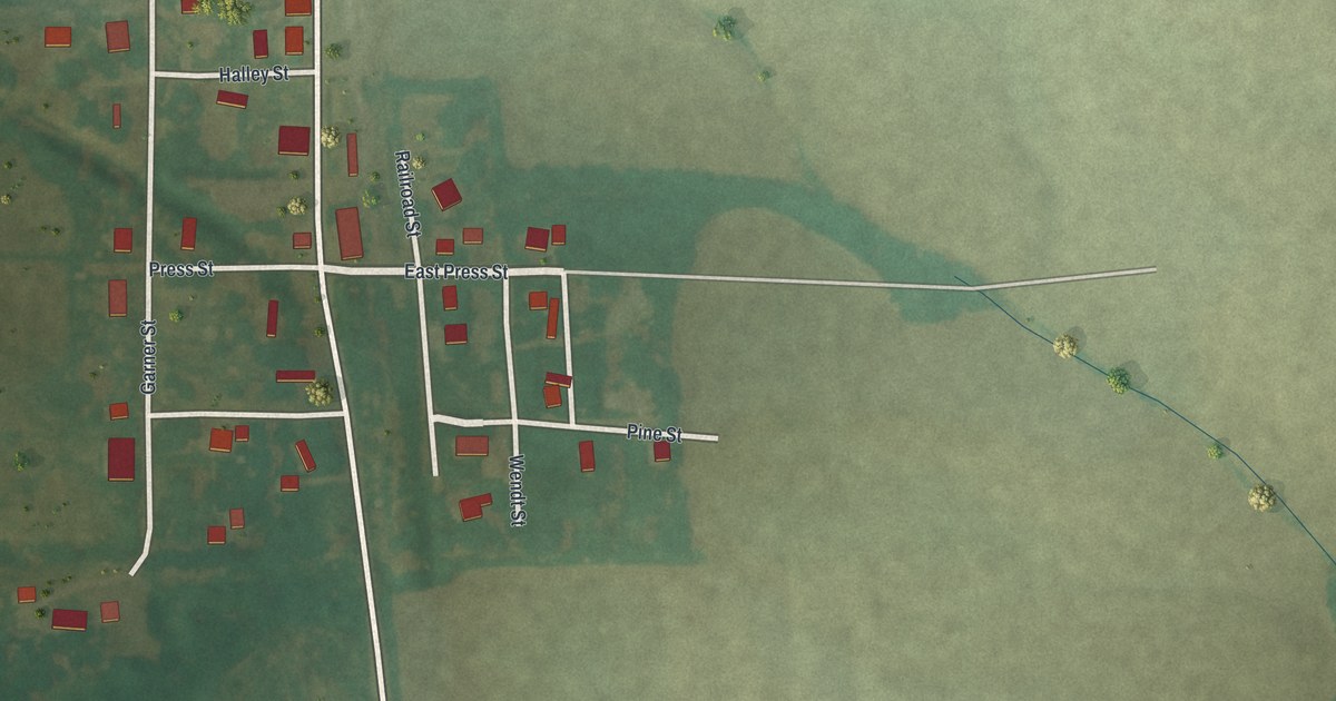
A detailed map of Excello, Missouri, showing every building in its true location, the roads by name, and shaded topographical relief.
Read More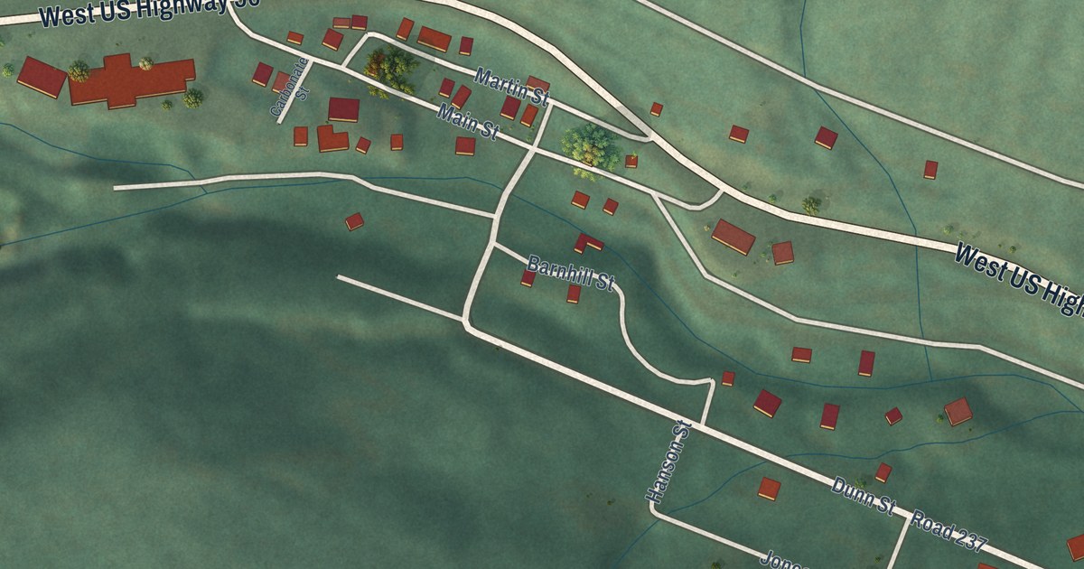
A detailed map of Garfield, Colorado, showing every building in its true location, the roads by name, and shaded topographical relief.
Read More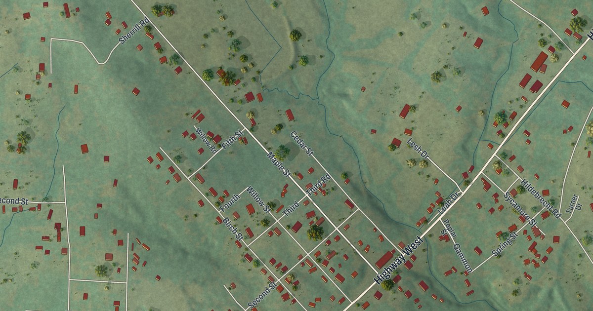
A detailed map of Doe Run, Missouri, showing every building in its true location, the roads by name, and shaded topographical relief.
Read More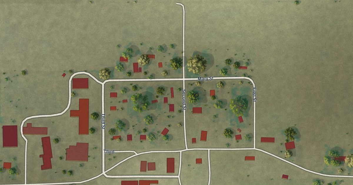
A detailed map of Deering, Missouri, showing every building in its true location, the roads by name, and shaded topographical relief.
Read More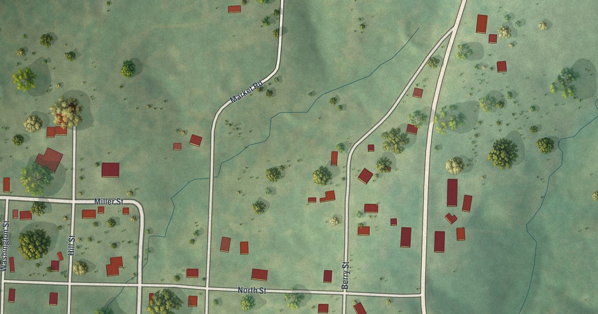
A detailed map of Eugene, Missouri, showing every building in its true location, the roads by name, and shaded topographical relief.
Read More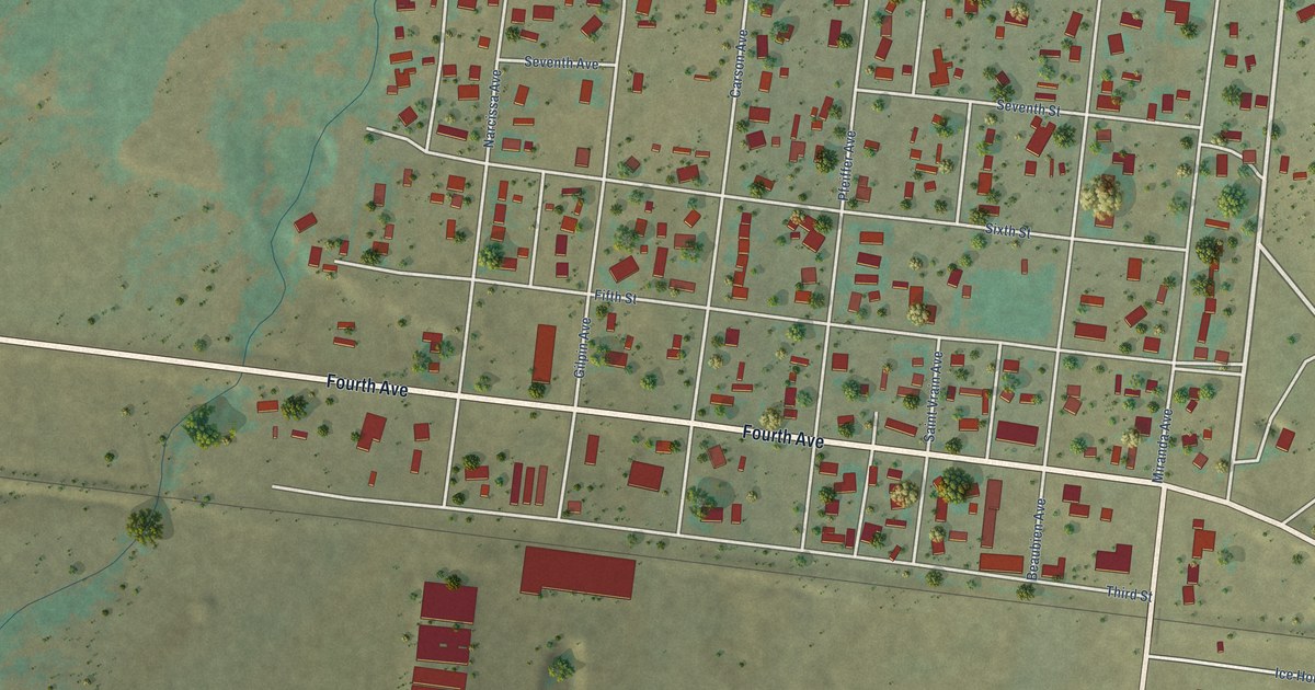
A detailed map of Fort Garland, Colorado, showing every building in its true location, the roads by name, and shaded topographical relief.
Read More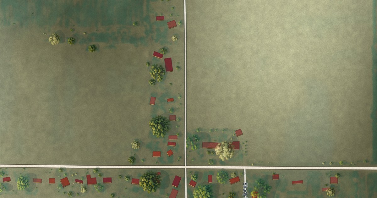
A detailed map of Denton, Missouri, showing every building in its true location, the roads by name, and shaded topographical relief.
Read More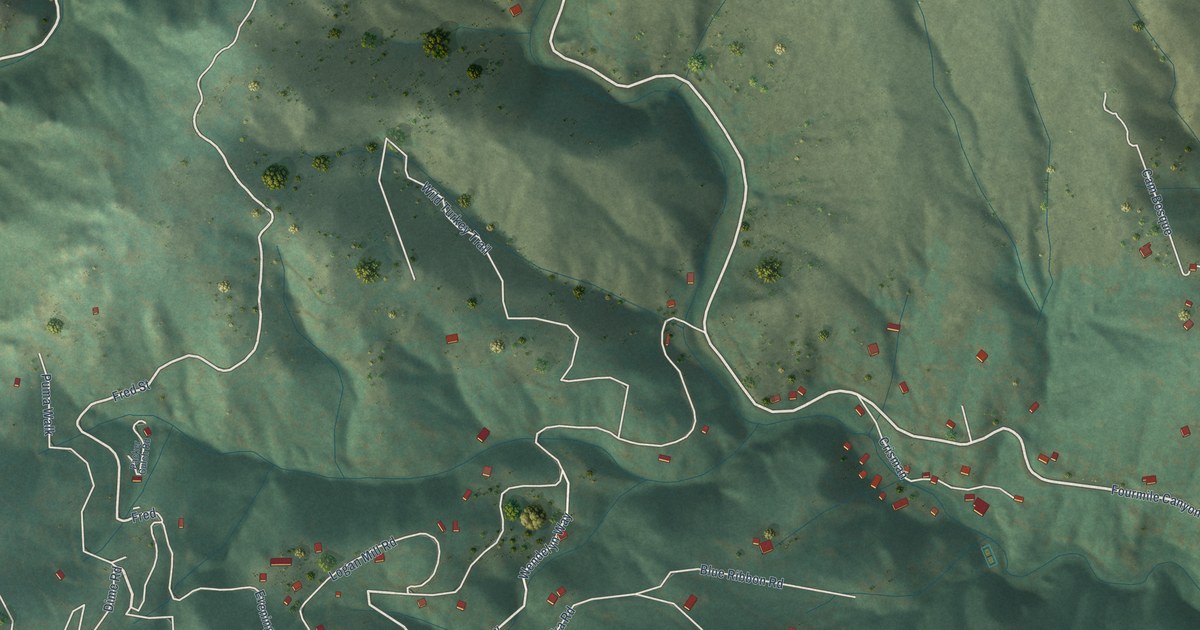
A detailed map of Crisman, Colorado, showing every building in its true location, the roads by name, and shaded topographical relief.
Read More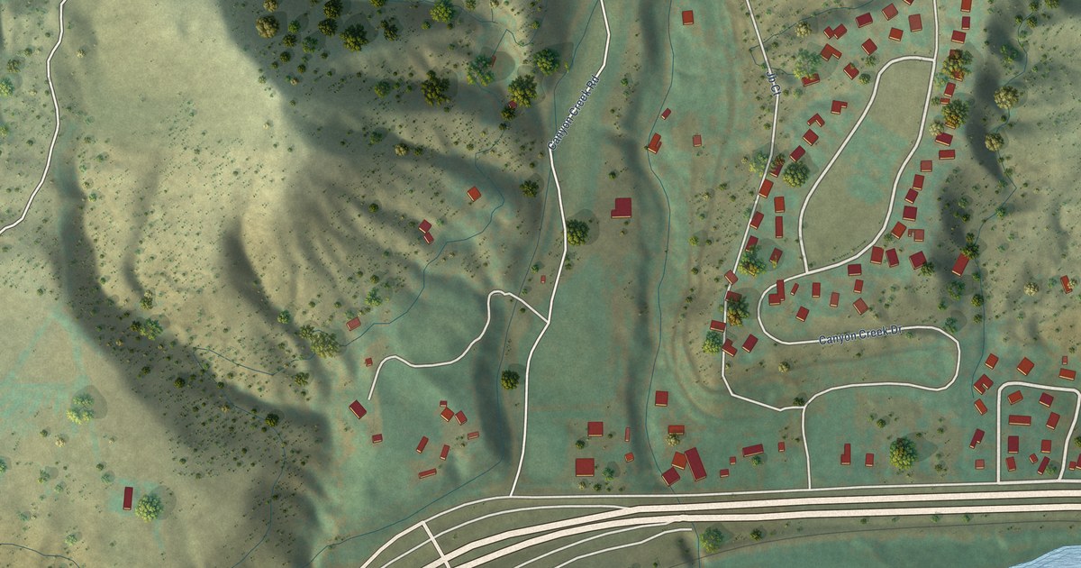
A detailed map of Chacra, Colorado, showing every building in its true location, the roads by name, and shaded topographical relief.
Read More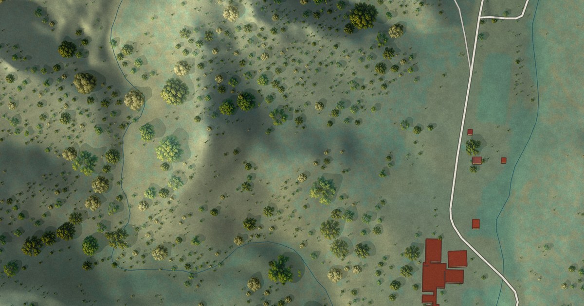
A detailed map of Cotopaxi, Colorado, showing every building in its true location, the roads by name, and shaded topographical relief.
Read More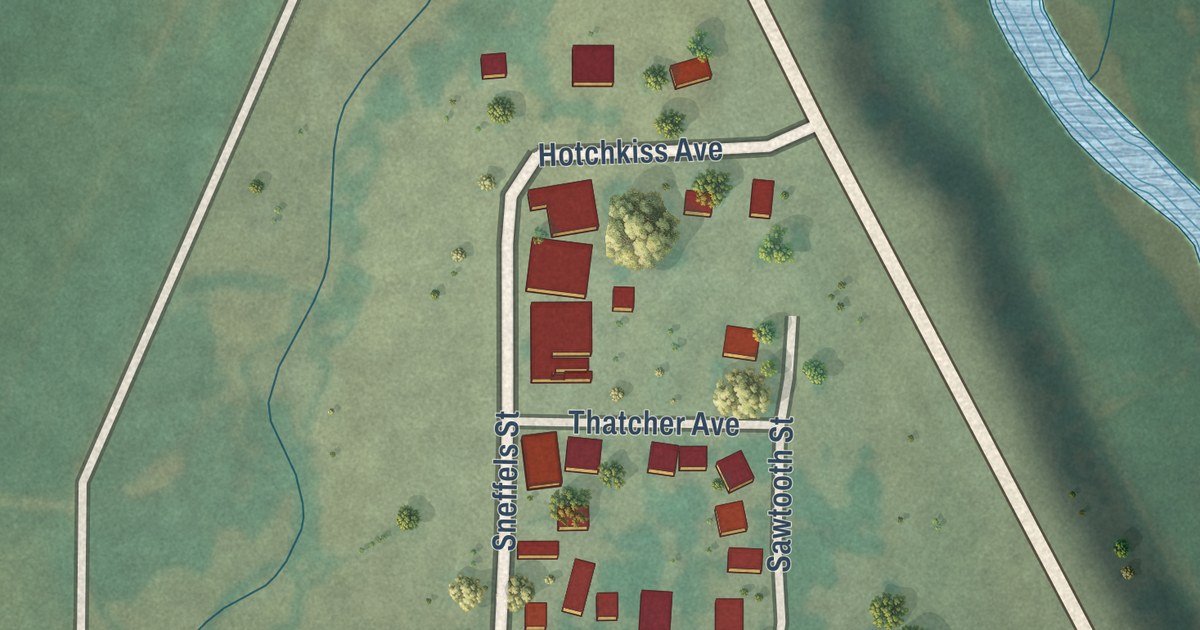
A detailed map of Colona, Colorado, showing every building in its true location, the roads by name, and shaded topographical relief.
Read More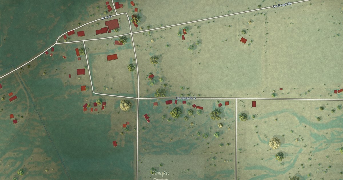
A detailed map of Conejos, Colorado, showing every building in its true location, the roads by name, and shaded topographical relief.
Read More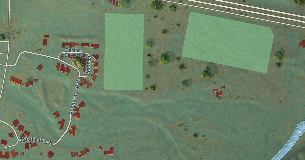
A detailed map of Catherine, Colorado, showing every building in its true location, the roads by name, and shaded topographical relief.
Read More















