Detailed Map of Capulin, Colorado
A detailed map of Capulin, Colorado, showing every building in its true location, the roads by name, and shaded topographical relief.
Read More
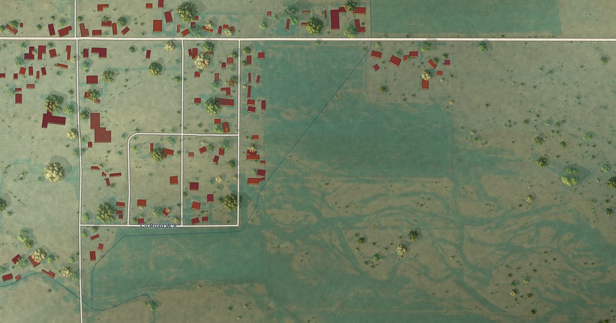
A detailed map of Capulin, Colorado, showing every building in its true location, the roads by name, and shaded topographical relief.
Read More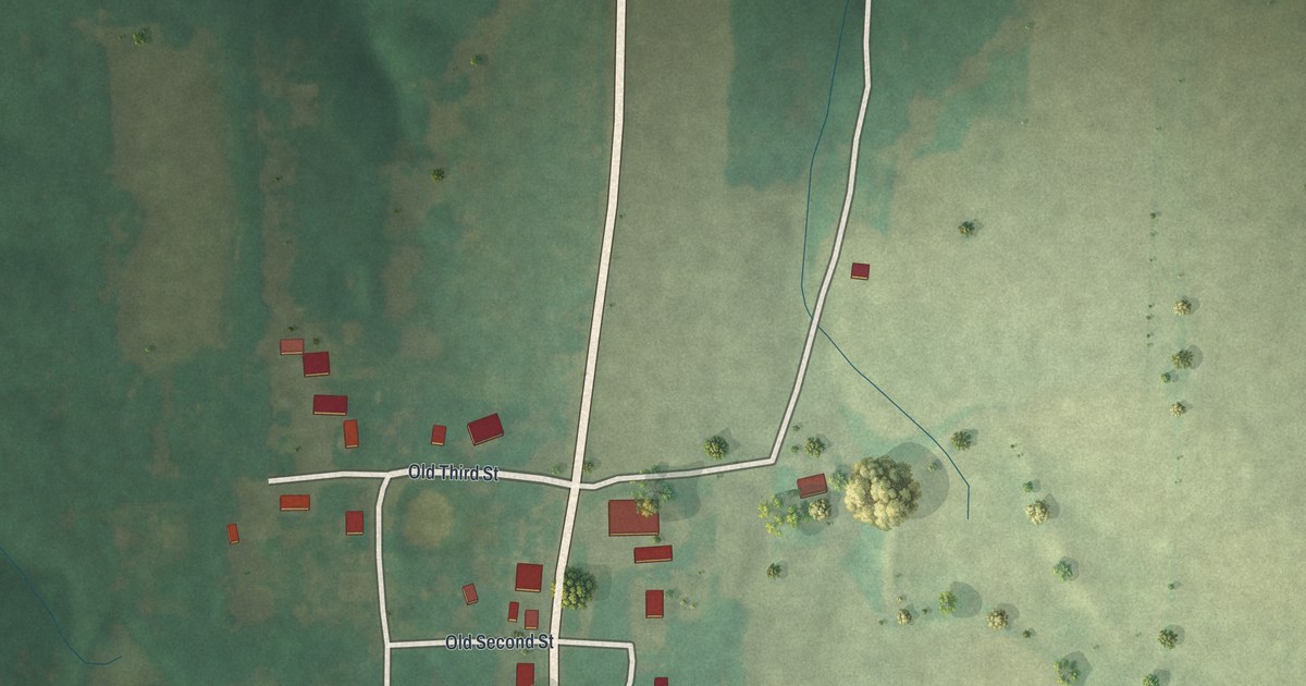
A detailed map of Danville, Missouri, showing every building in its true location, the roads by name, and shaded topographical relief.
Read More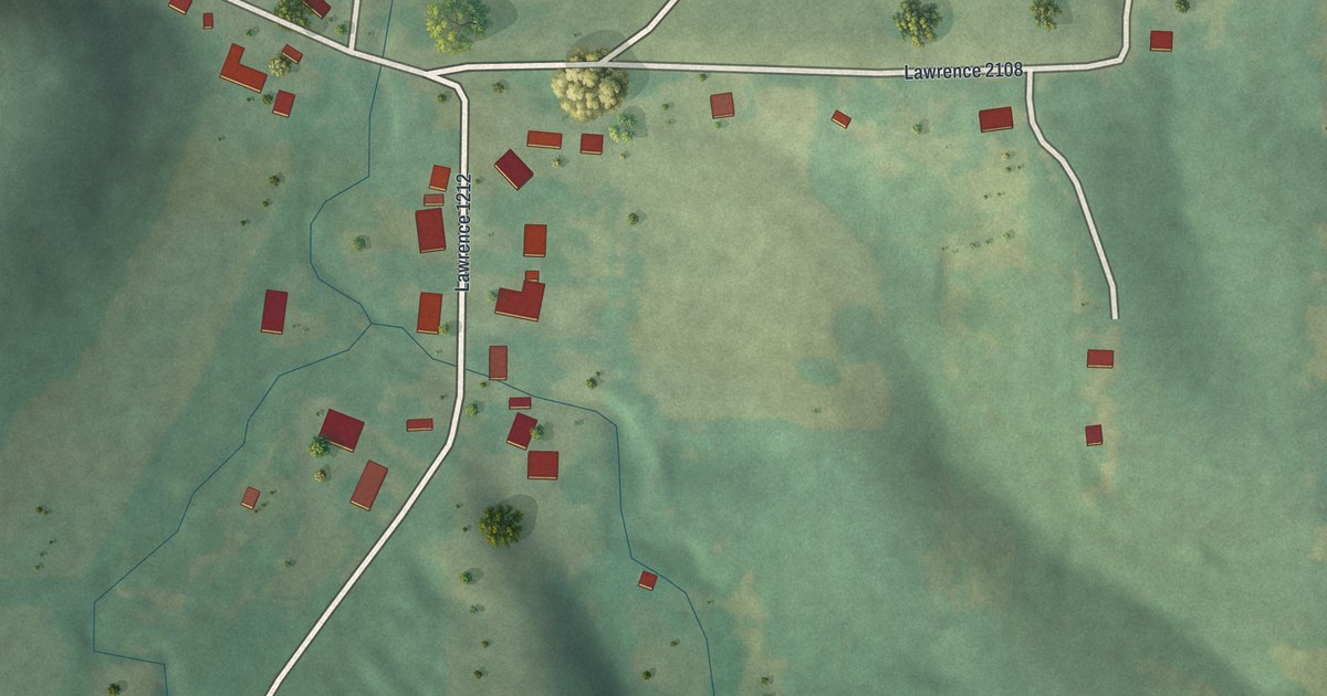
A detailed map of Chesapeake, Missouri, showing every building in its true location, the roads by name, and shaded topographical relief.
Read More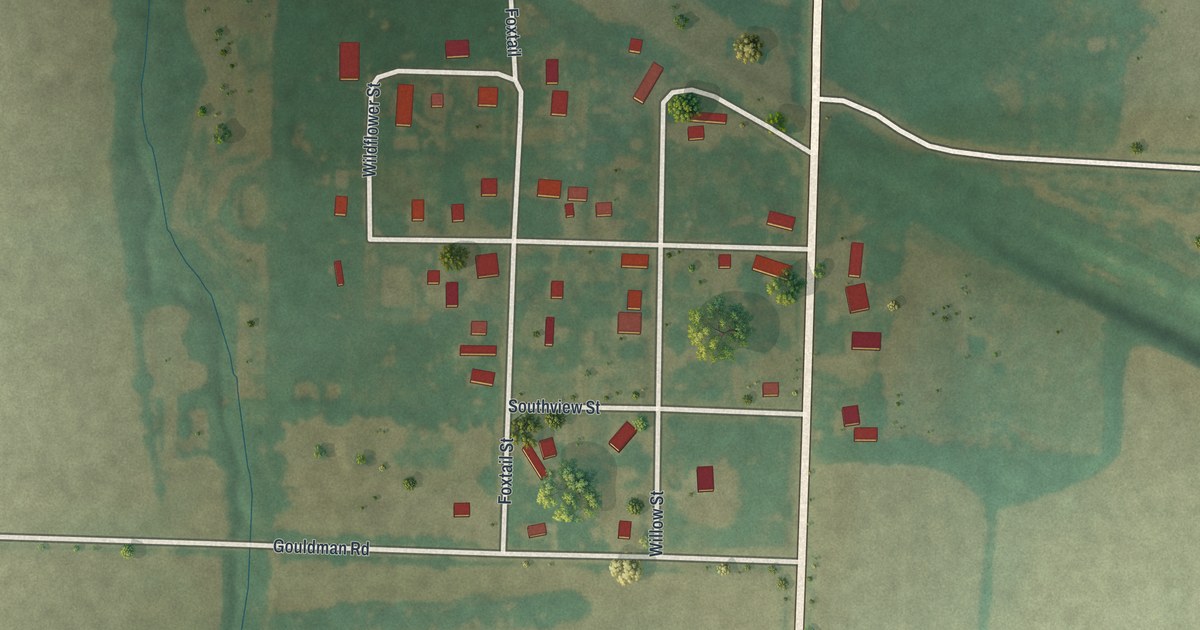
A detailed map of Buell, Missouri, showing every building in its true location, the roads by name, and shaded topographical relief.
Read More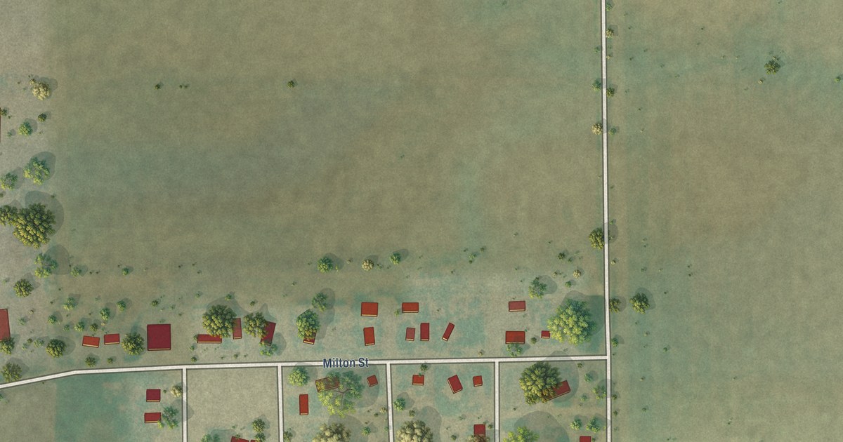
A detailed map of Briggsdale, Colorado, showing every building in its true location, the roads by name, and shaded topographical relief.
Read More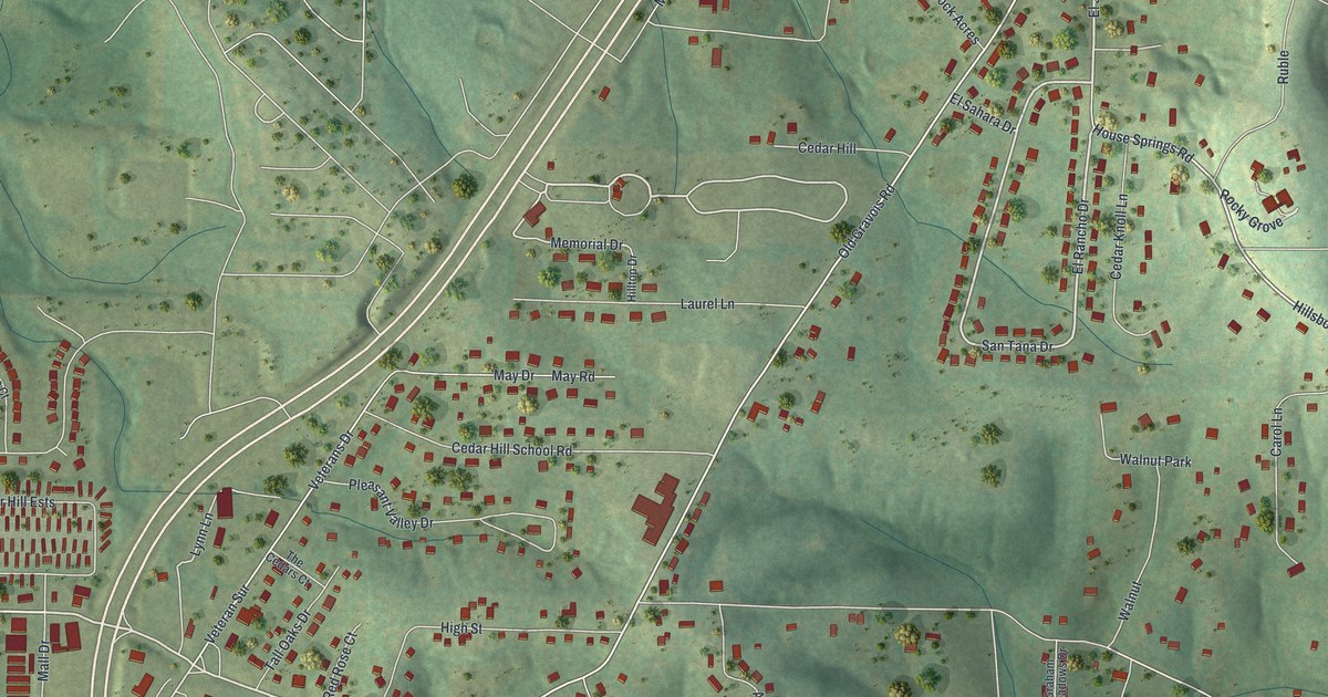
A detailed map of Cedar Hill, Missouri, showing every building in its true location, the roads by name, and shaded topographical relief.
Read More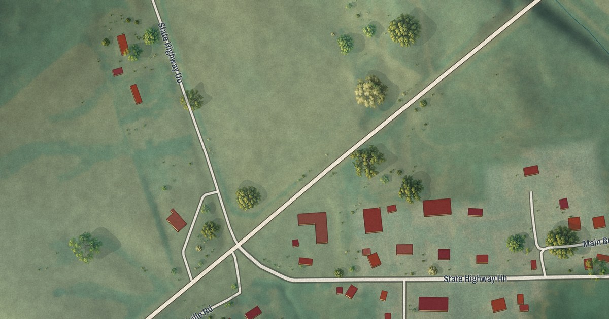
A detailed map of Burfordville, Missouri, showing every building in its true location, the roads by name, and shaded topographical relief.
Read More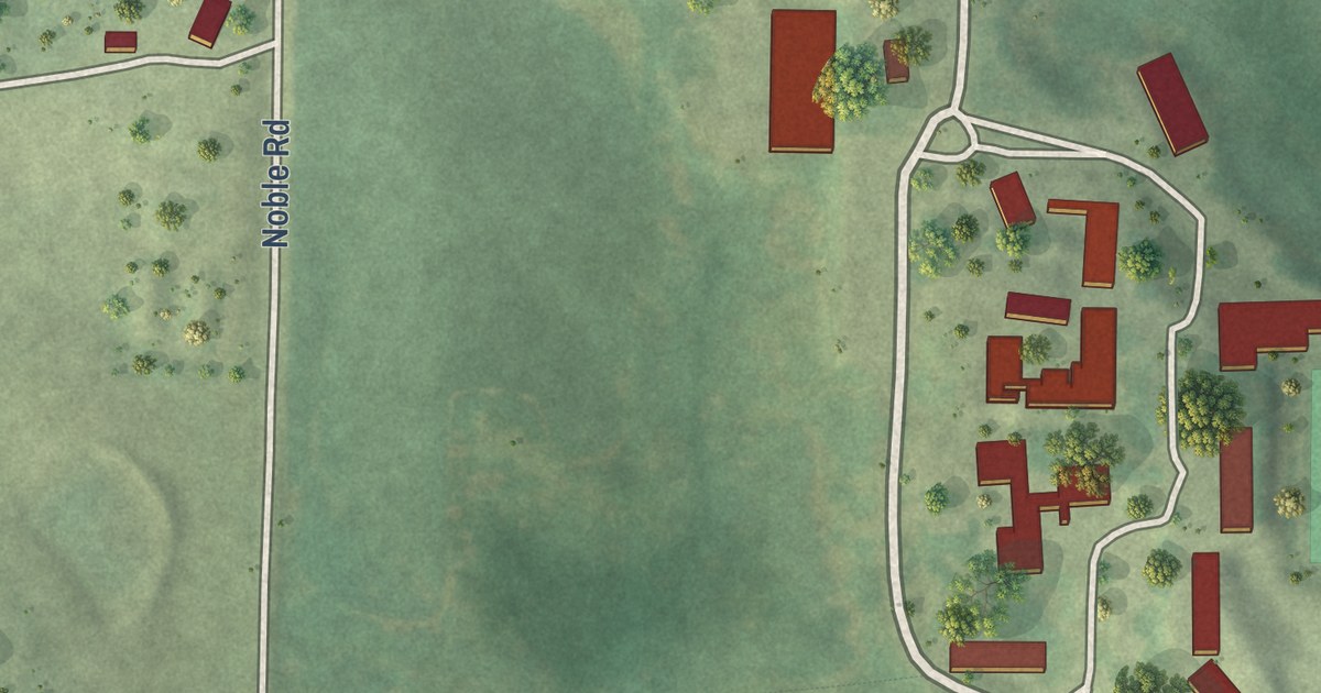
A detailed map of Conception, Missouri, showing every building in its true location, the roads by name, and shaded topographical relief.
Read More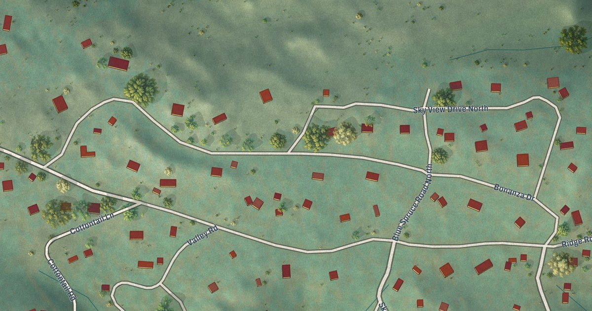
A detailed map of Bonanza Mountain Estates, Colorado, showing every building in its true location, the roads by name, and shaded topographical relief.
Read More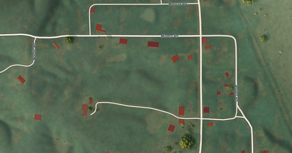
A detailed map of Connelsville, Missouri, showing every building in its true location, the roads by name, and shaded topographical relief.
Read More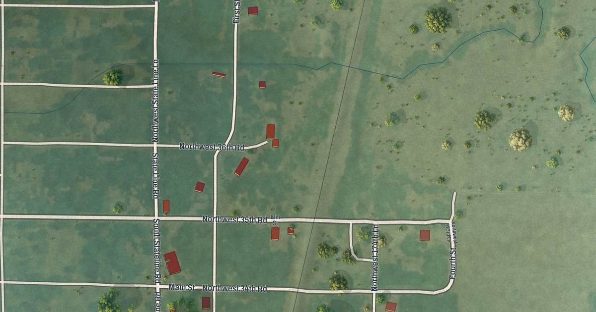
A detailed map of Burgess, Missouri, showing every building in its true location, the roads by name, and shaded topographical relief.
Read More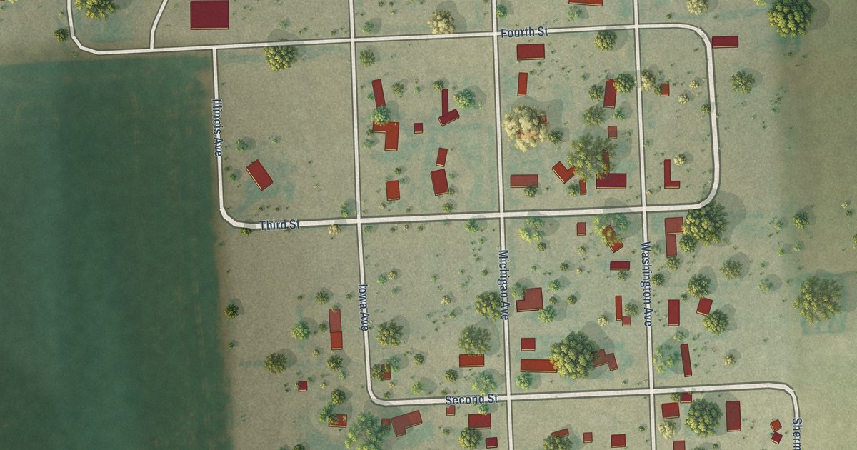
A detailed map of Arapahoe, Colorado, showing every building in its true location, the roads by name, and shaded topographical relief.
Read More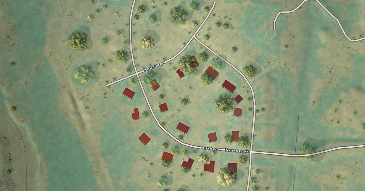
A detailed map of Blue Sky, Colorado, showing every building in its true location, the roads by name, and shaded topographical relief.
Read More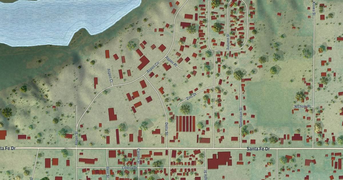
A detailed map of Blende, Colorado, showing every building in its true location, the roads by name, and shaded topographical relief.
Read More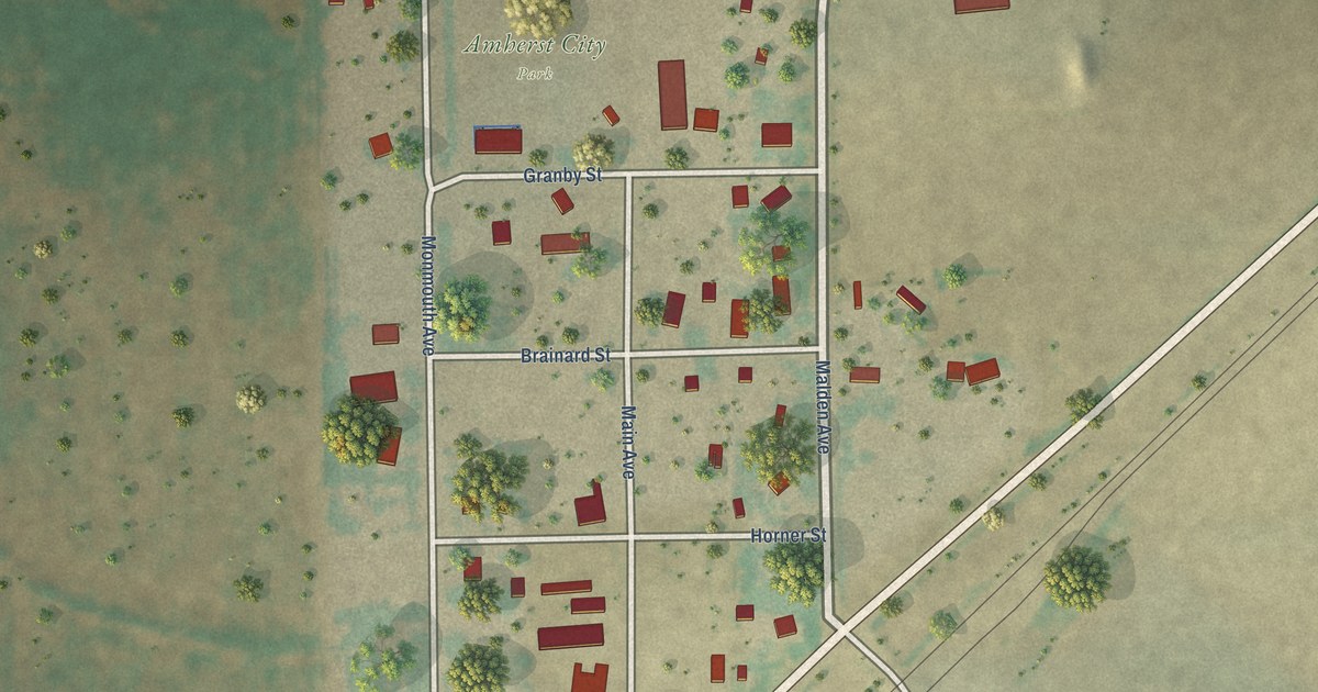
A detailed map of Amherst, Colorado, showing every building in its true location, the roads by name, and shaded topographical relief.
Read More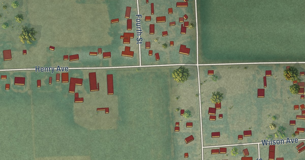
A detailed map of Atwood, Colorado, showing every building in its true location, the roads by name, and shaded topographical relief.
Read More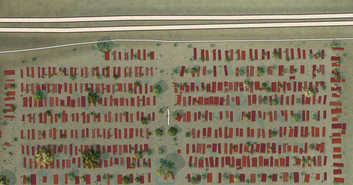
A detailed map of Aetna Estates, Colorado, showing every building in its true location, the roads by name, and shaded topographical relief.
Read More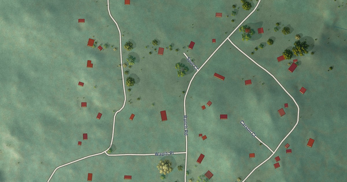
A detailed map of Bark Ranch, Colorado, showing every building in its true location, the roads by name, and shaded topographical relief.
Read More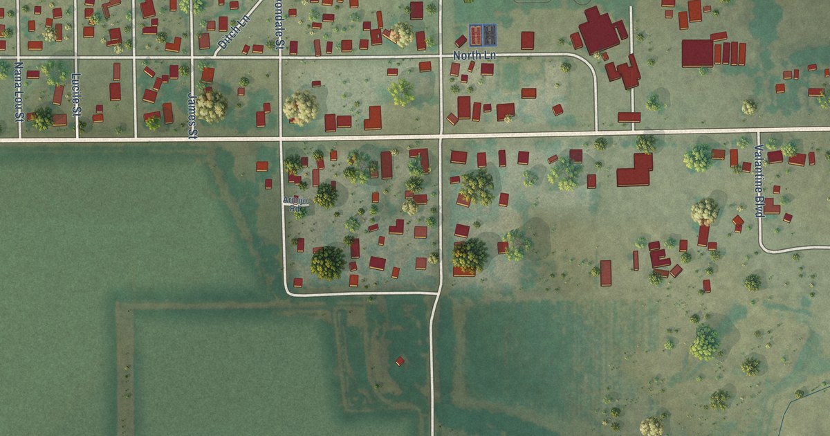
A detailed map of Avondale, Colorado, showing every building in its true location, the roads by name, and shaded topographical relief.
Read More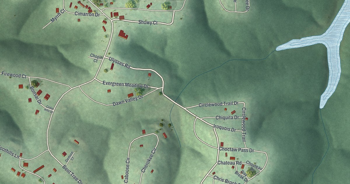
A detailed map of Bent Tree Harbor, Missouri, showing every building in its true location, the roads by name, and shaded topographical relief.
Read More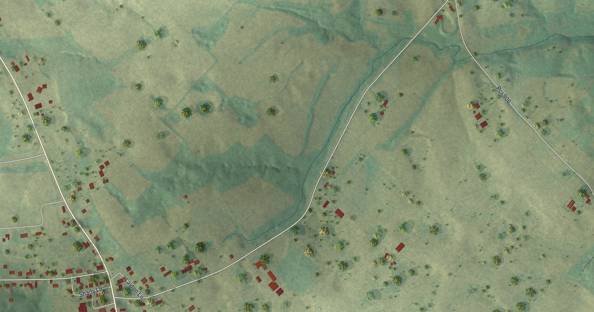
A detailed map of Brewer, Missouri, showing every building in its true location, the roads by name, and shaded topographical relief.
Read More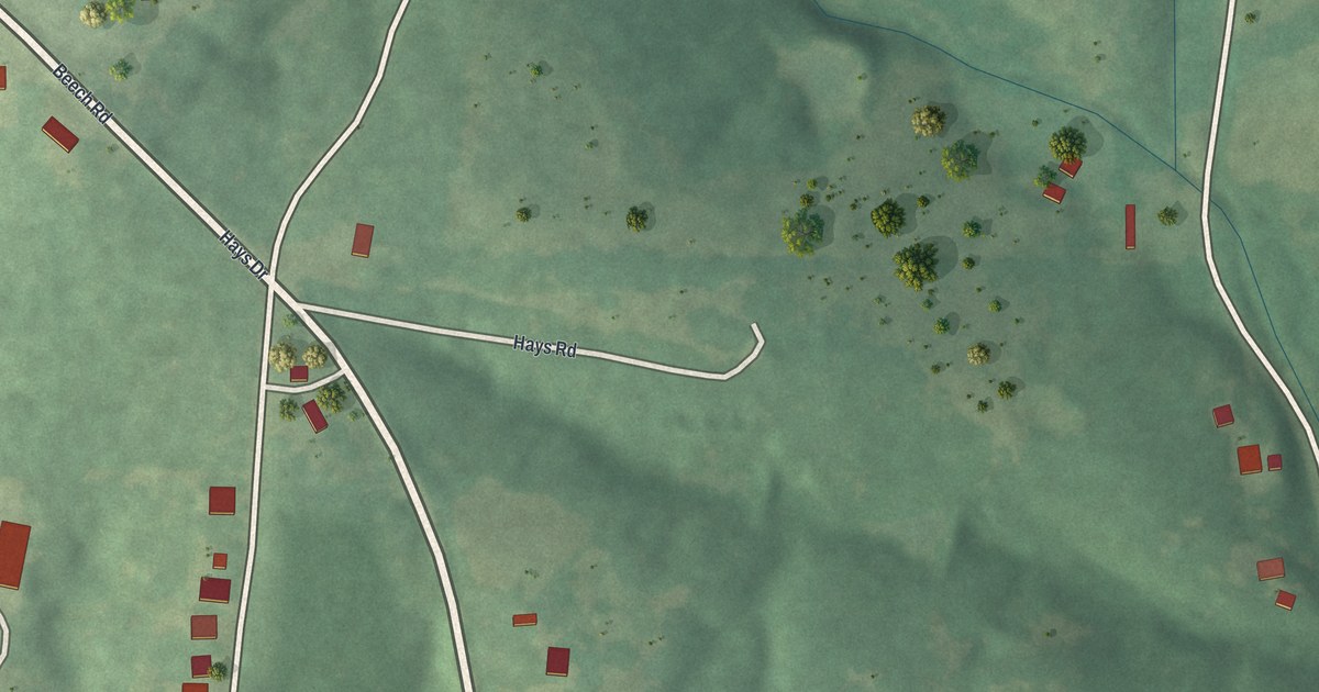
A detailed map of Aurora Springs, Missouri, showing every building in its true location, the roads by name, and shaded topographical relief.
Read More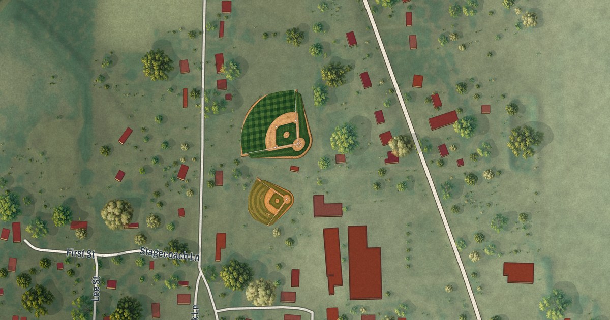
A detailed map of Broseley, Missouri, showing every building in its true location, the roads by name, and shaded topographical relief.
Read More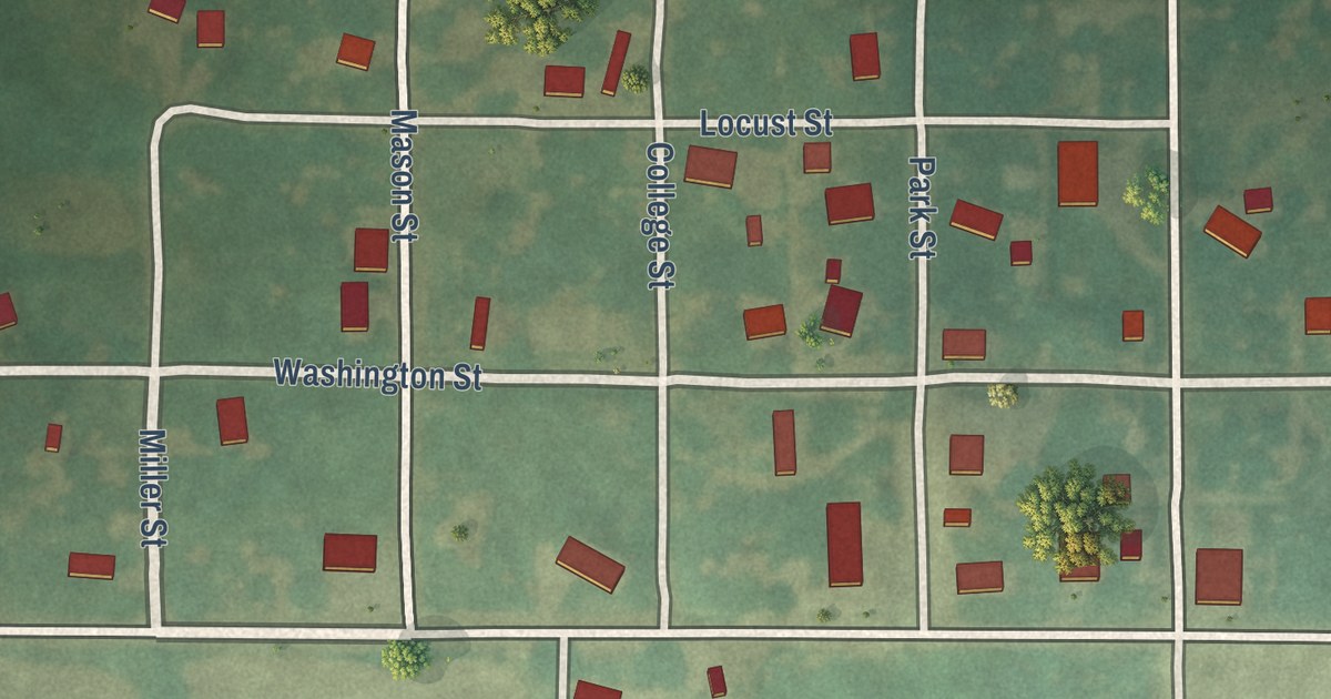
A detailed map of Avalon, Missouri, showing every building in its true location, the roads by name, and shaded topographical relief.
Read More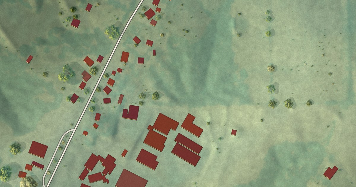
A detailed map of Biehle, Missouri, showing every building in its true location, the roads by name, and shaded topographical relief.
Read More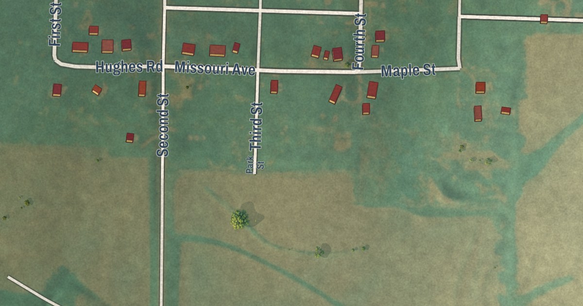
A detailed map of Blanchard, Missouri, showing every building in its true location, the roads by name, and shaded topographical relief.
Read More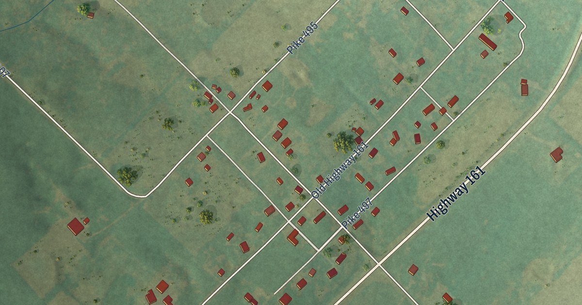
A detailed map of Ashley, Missouri, showing every building in its true location, the roads by name, and shaded topographical relief.
Read More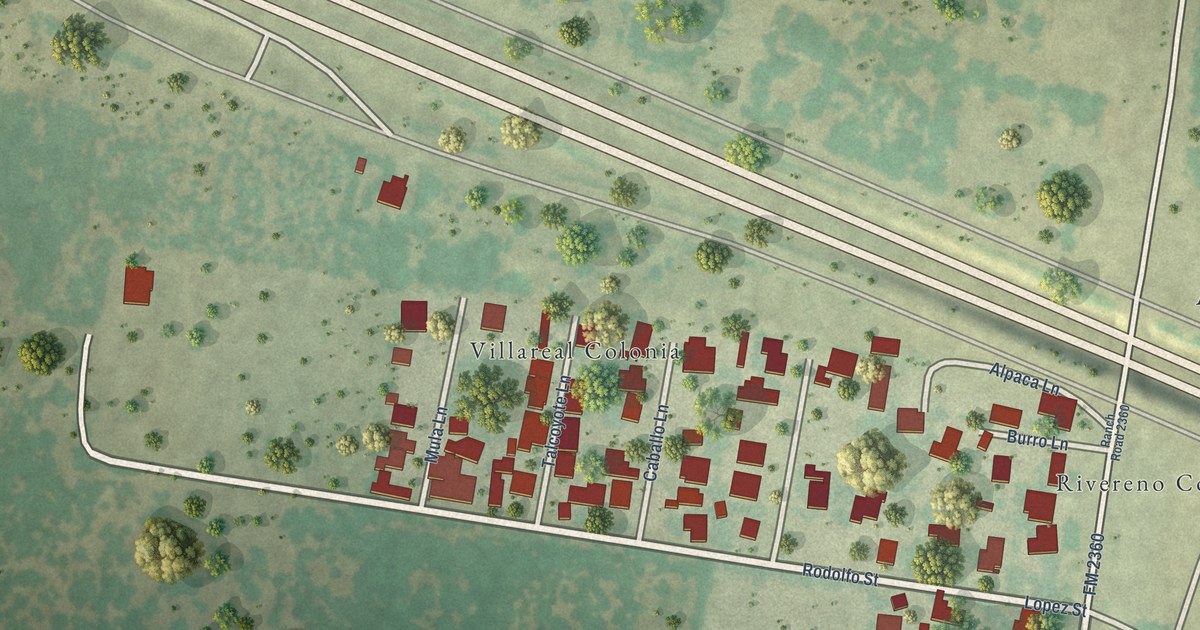
A detailed map of Villarreal, Texas, showing every building in its true location, the roads by name, and shaded topographical relief.
Read More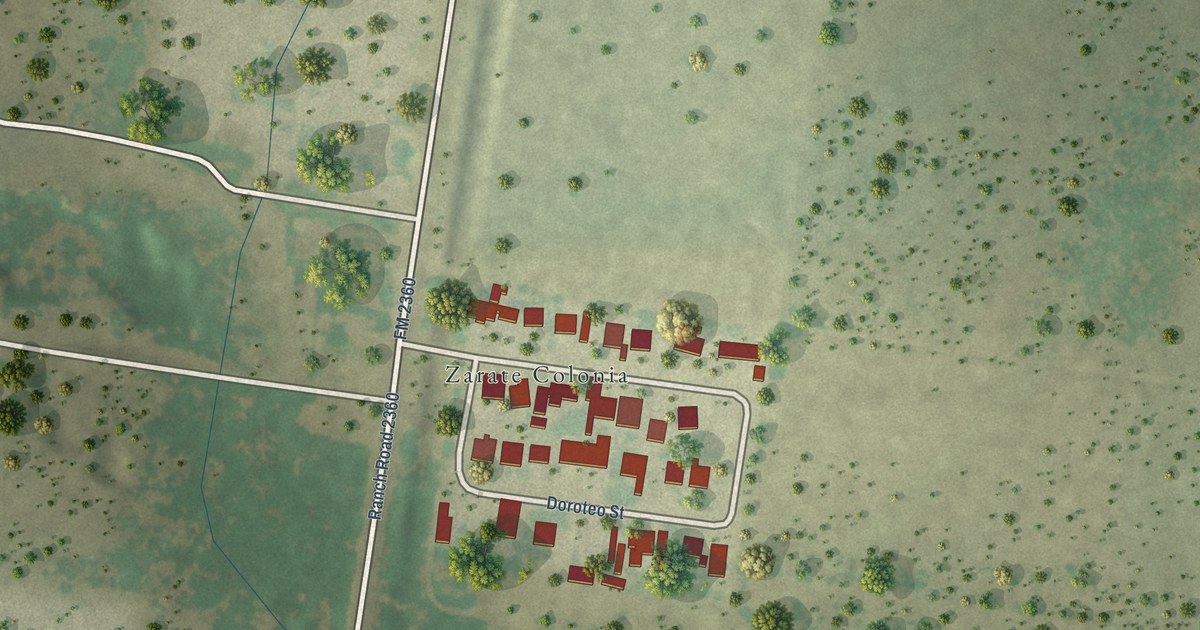
A detailed map of Zarate, Texas, showing every building in its true location, the roads by name, and shaded topographical relief.
Read More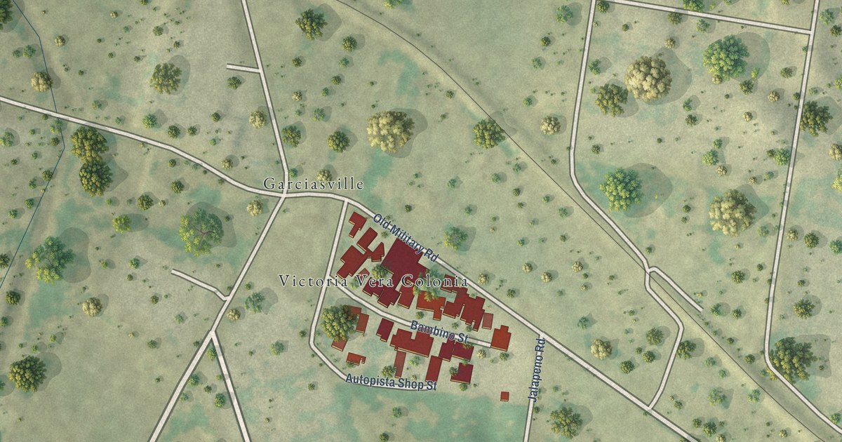
A detailed map of Victoria Vera, Texas, showing every building in its true location, the roads by name, and shaded topographical relief.
Read More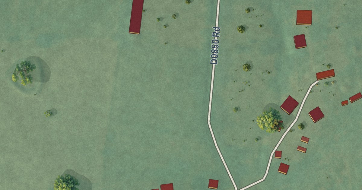
A detailed map of Zion, Oklahoma, showing every building in its true location, the roads by name, and shaded topographical relief.
Read More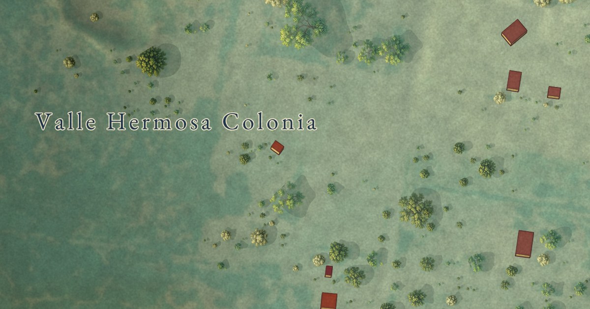
A detailed map of Valle Hermoso, Texas, showing every building in its true location, the roads by name, and shaded topographical relief.
Read More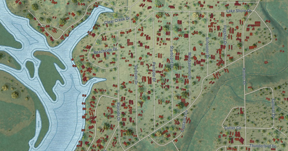
A detailed map of Thunderbird Bay, Texas, showing every building in its true location, the roads by name, and shaded topographical relief.
Read More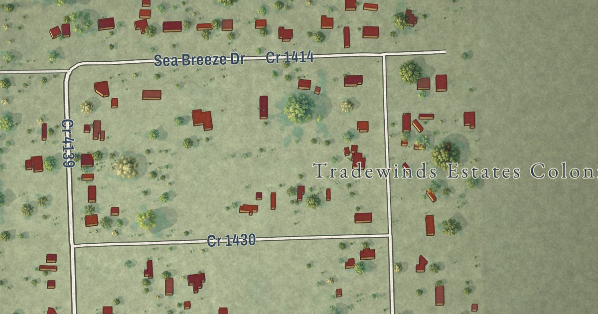
A detailed map of Tradewinds, Texas, showing every building in its true location, the roads by name, and shaded topographical relief.
Read More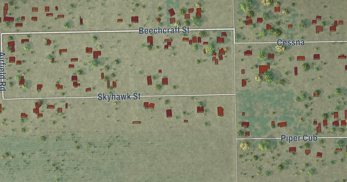
A detailed map of Tierra Verde, Texas, showing every building in its true location, the roads by name, and shaded topographical relief.
Read More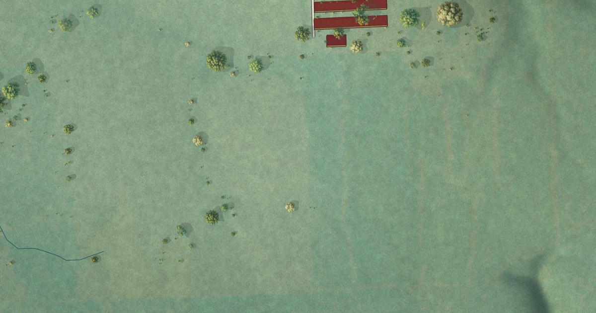
A detailed map of White Water, Oklahoma, showing every building in its true location, the roads by name, and shaded topographical relief.
Read More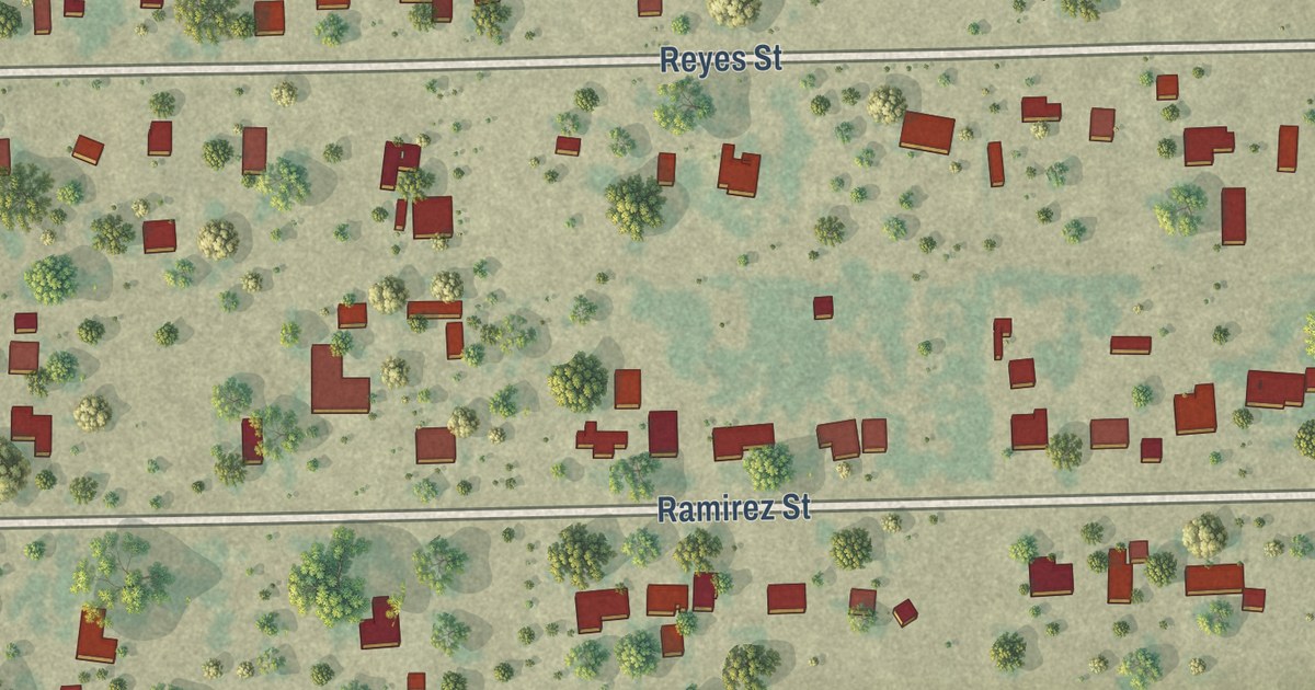
A detailed map of Spring Gardens, Texas, showing every building in its true location, the roads by name, and shaded topographical relief.
Read More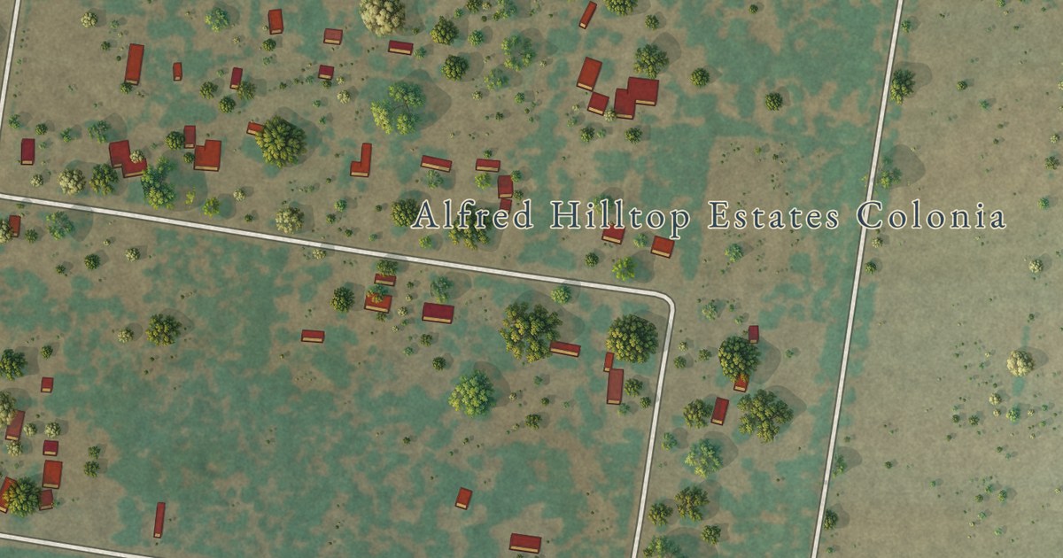
A detailed map of South La Paloma, Texas, showing every building in its true location, the roads by name, and shaded topographical relief.
Read More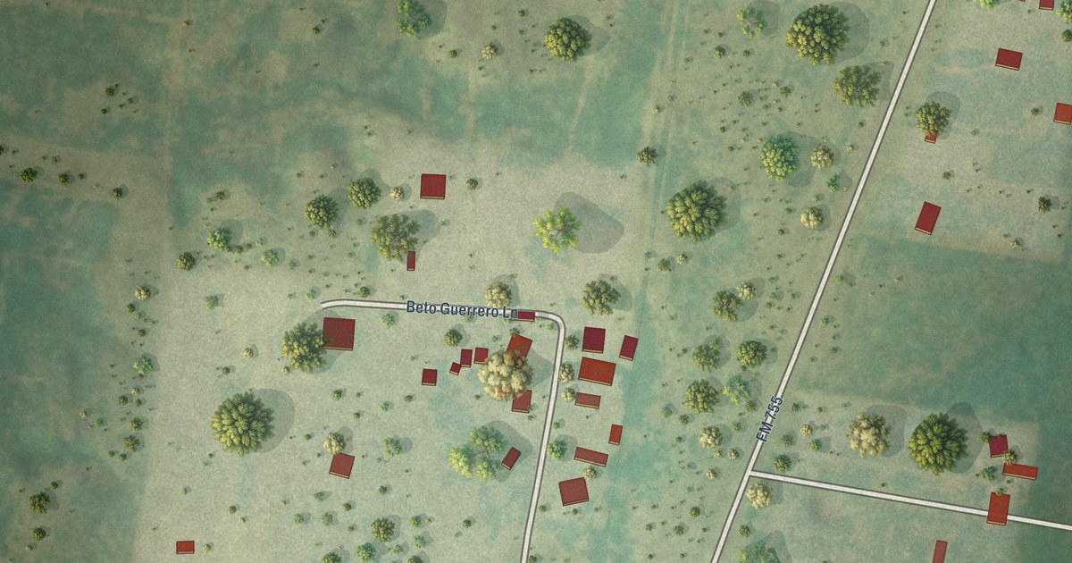
A detailed map of Sammy Martinez, Texas, showing every building in its true location, the roads by name, and shaded topographical relief.
Read More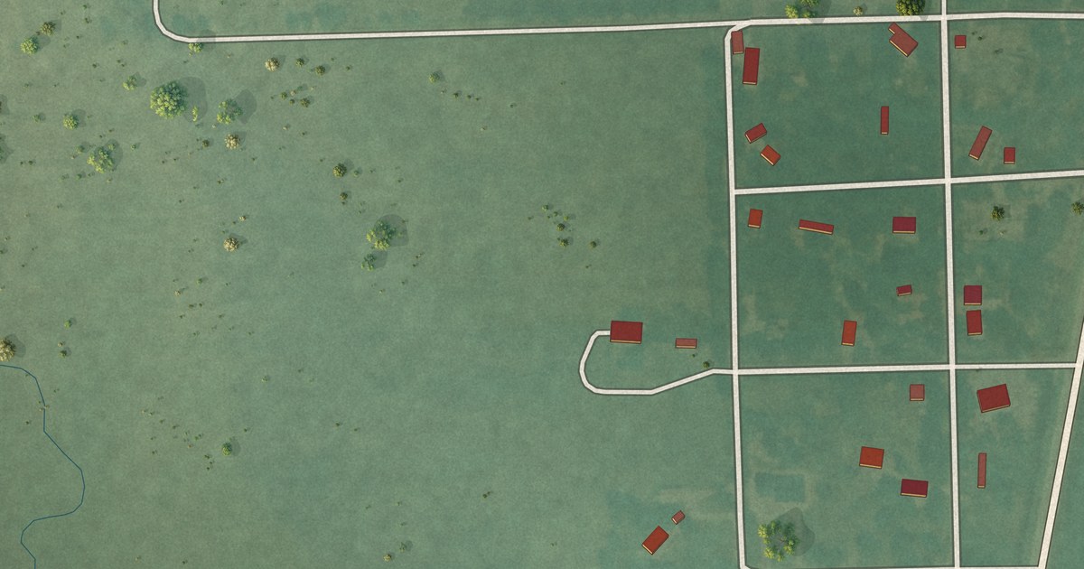
A detailed map of Watova, Oklahoma, showing every building in its true location, the roads by name, and shaded topographical relief.
Read More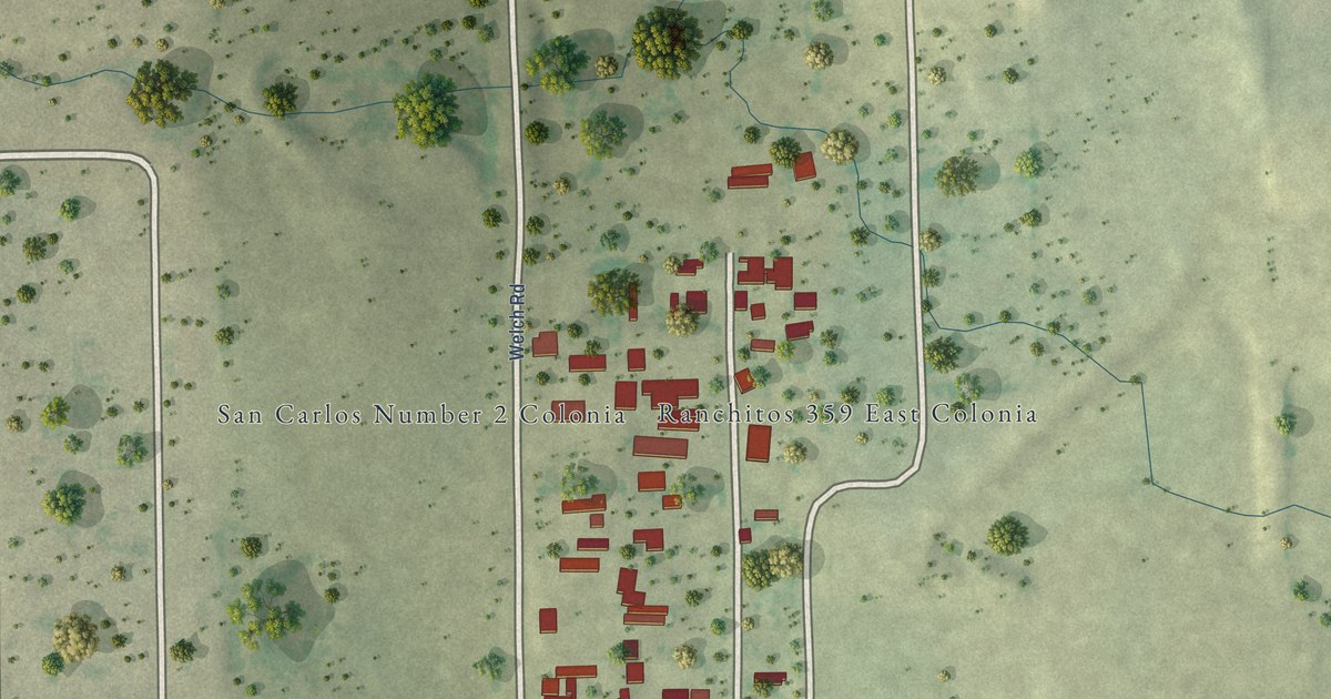
A detailed map of San Carlos II, Texas, showing every building in its true location, the roads by name, and shaded topographical relief.
Read More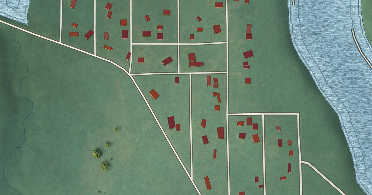
A detailed map of Whippoorwill, Oklahoma, showing every building in its true location, the roads by name, and shaded topographical relief.
Read More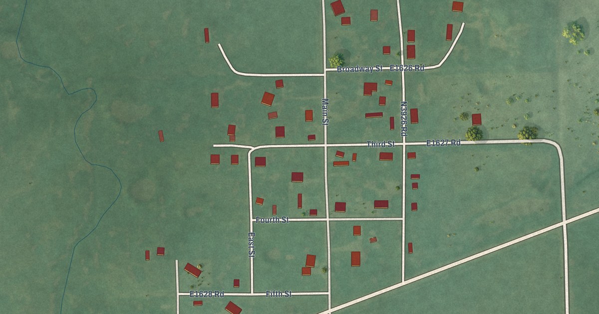
A detailed map of Wardville, Oklahoma, showing every building in its true location, the roads by name, and shaded topographical relief.
Read More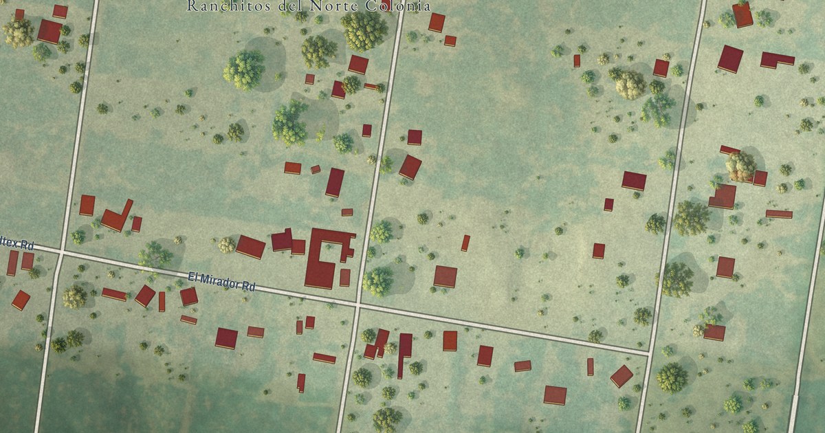
A detailed map of Ranchitos del Norte, Texas, showing every building in its true location, the roads by name, and shaded topographical relief.
Read More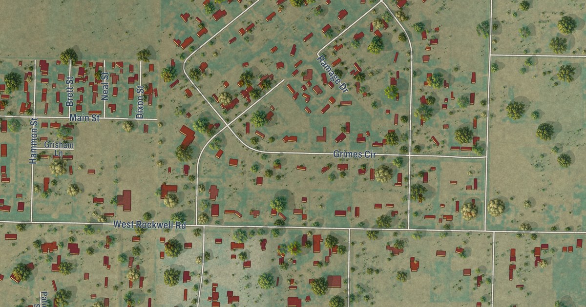
A detailed map of Rockwell Place, Texas, showing every building in its true location, the roads by name, and shaded topographical relief.
Read More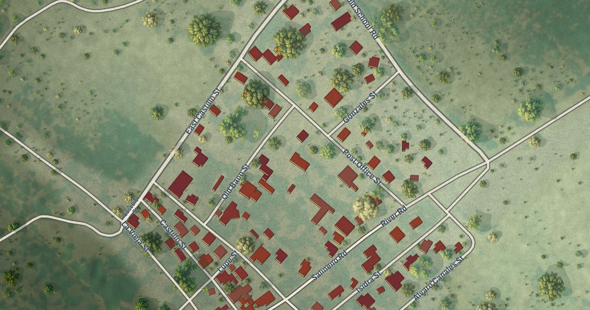
A detailed map of Salineño, Texas, showing every building in its true location, the roads by name, and shaded topographical relief.
Read More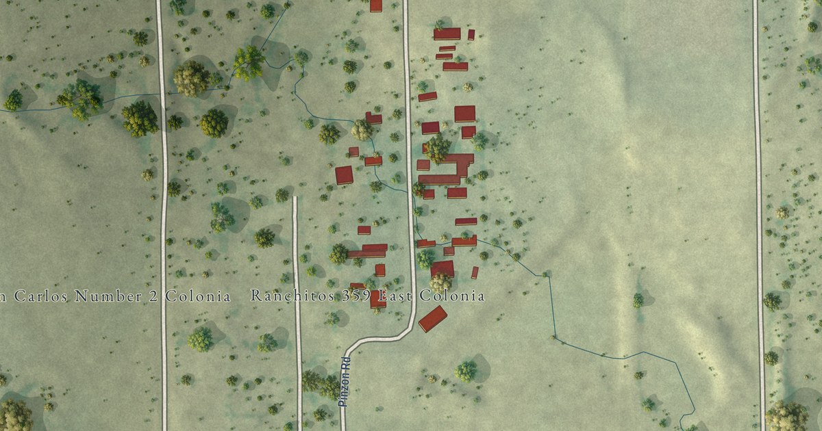
A detailed map of Ranchitos East, Texas, showing every building in its true location, the roads by name, and shaded topographical relief.
Read More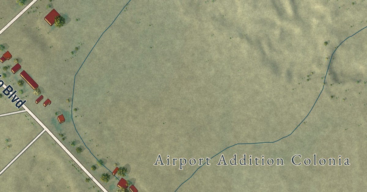
A detailed map of Radar Base, Texas, showing every building in its true location, the roads by name, and shaded topographical relief.
Read More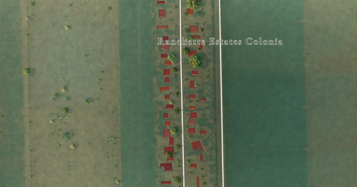
A detailed map of Ranchette Estates, Texas, showing every building in its true location, the roads by name, and shaded topographical relief.
Read More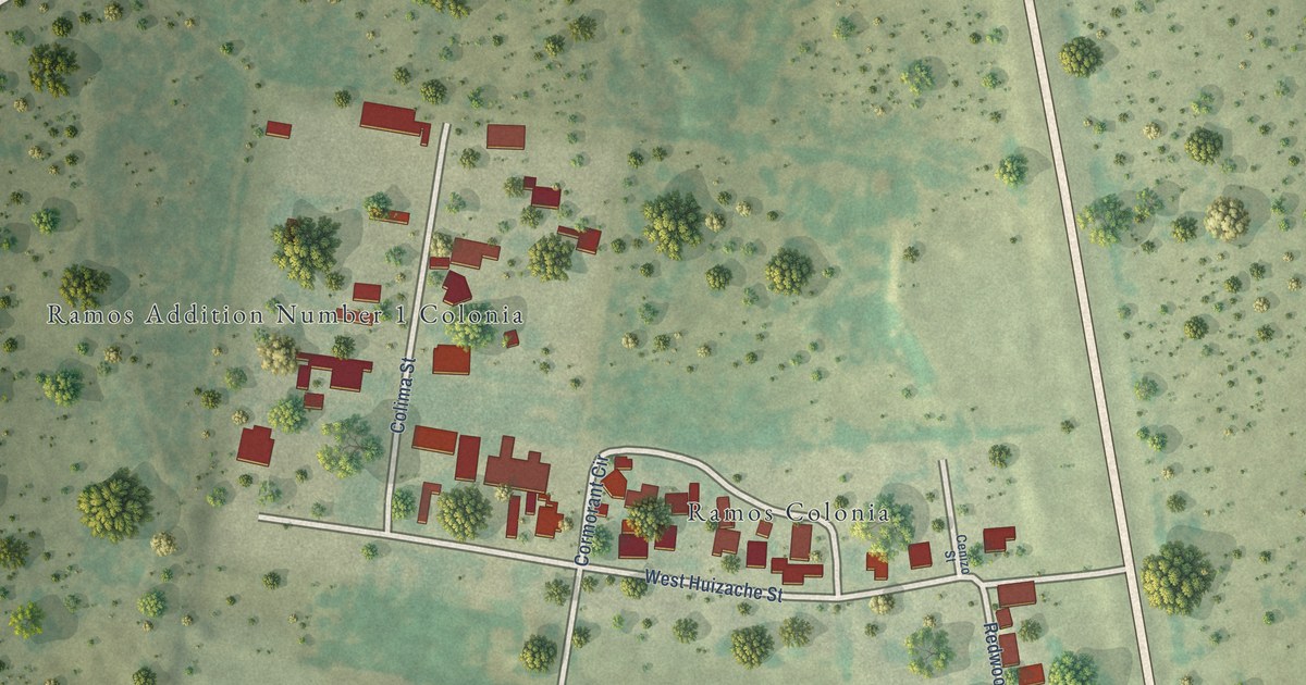
A detailed map of Ramos, Texas, showing every building in its true location, the roads by name, and shaded topographical relief.
Read More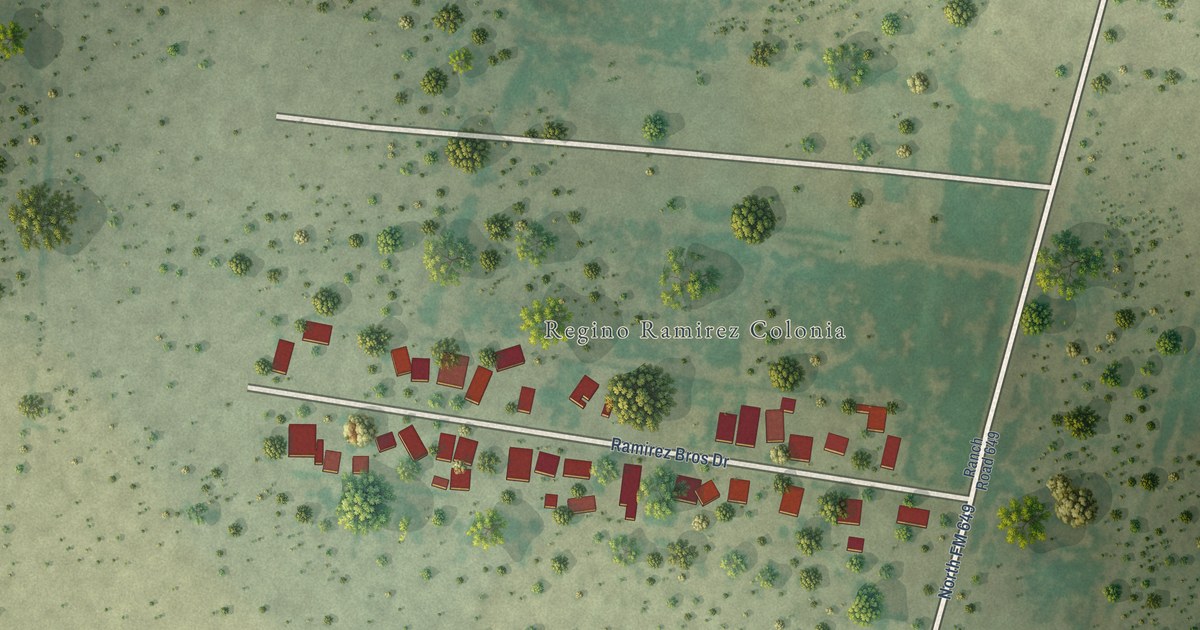
A detailed map of Regino Ramirez, Texas, showing every building in its true location, the roads by name, and shaded topographical relief.
Read More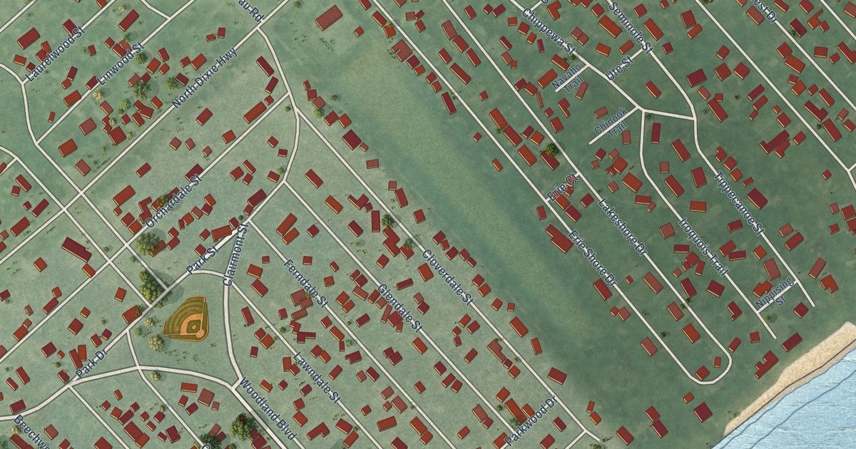
A detailed map of Woodland Beach, Michigan, showing every building in its true location, the roads by name, and shaded topographical relief.
Read More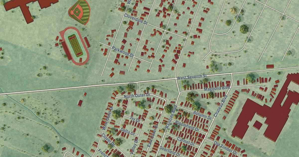
A detailed map of West Monroe, Michigan, showing every building in its true location, the roads by name, and shaded topographical relief.
Read More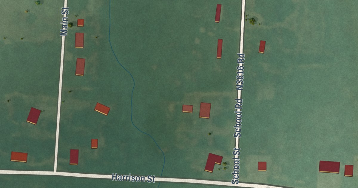
A detailed map of Utica, Oklahoma, showing every building in its true location, the roads by name, and shaded topographical relief.
Read More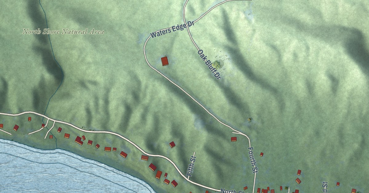
A detailed map of Walloon Lake, Michigan, showing every building in its true location, the roads by name, and shaded topographical relief.
Read More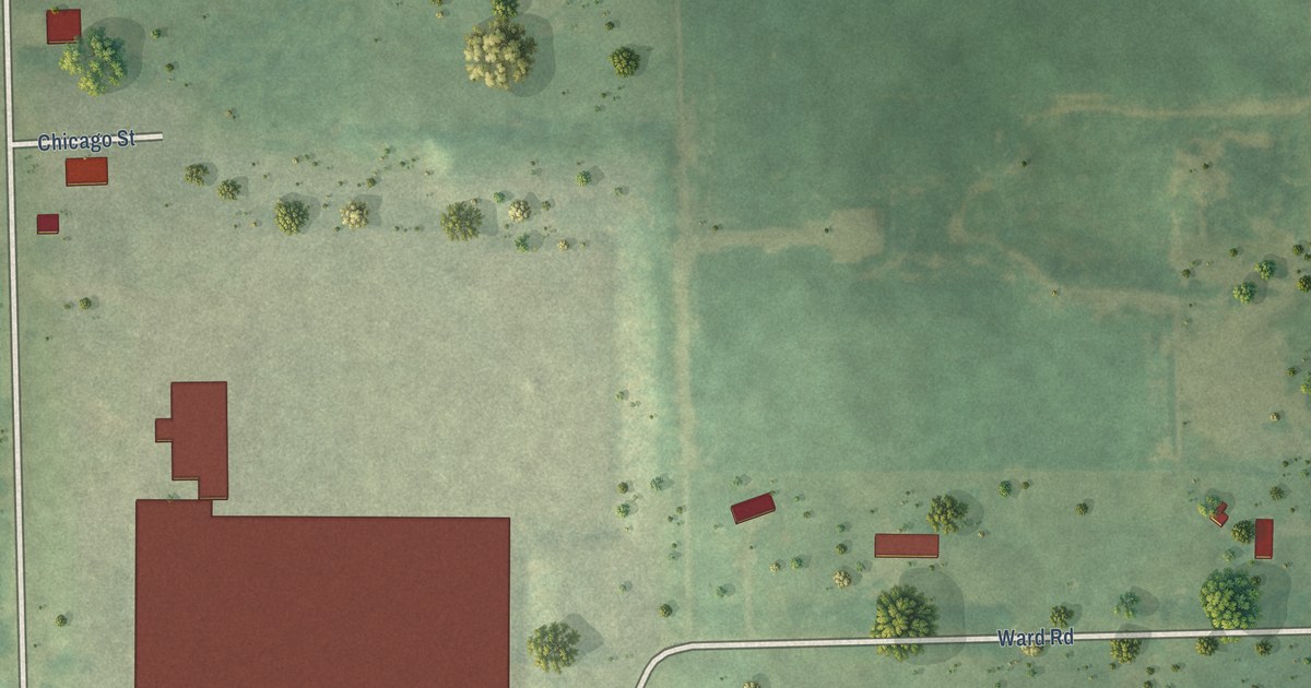
A detailed map of Winn, Michigan, showing every building in its true location, the roads by name, and shaded topographical relief.
Read More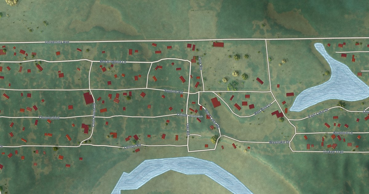
A detailed map of Twin Lakes, Oklahoma, showing every building in its true location, the roads by name, and shaded topographical relief.
Read More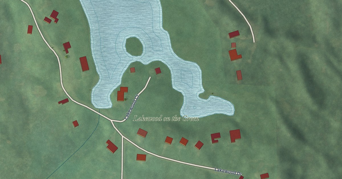
A detailed map of Wedgewood, Michigan, showing every building in its true location, the roads by name, and shaded topographical relief.
Read More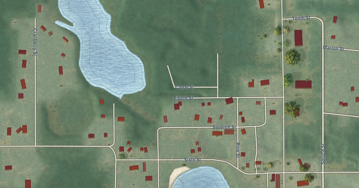
A detailed map of Wellston, Michigan, showing every building in its true location, the roads by name, and shaded topographical relief.
Read More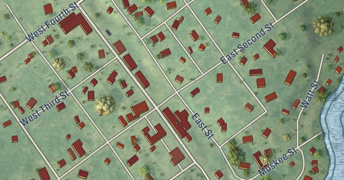
A detailed map of Trufant, Michigan, showing every building in its true location, the roads by name, and shaded topographical relief.
Read More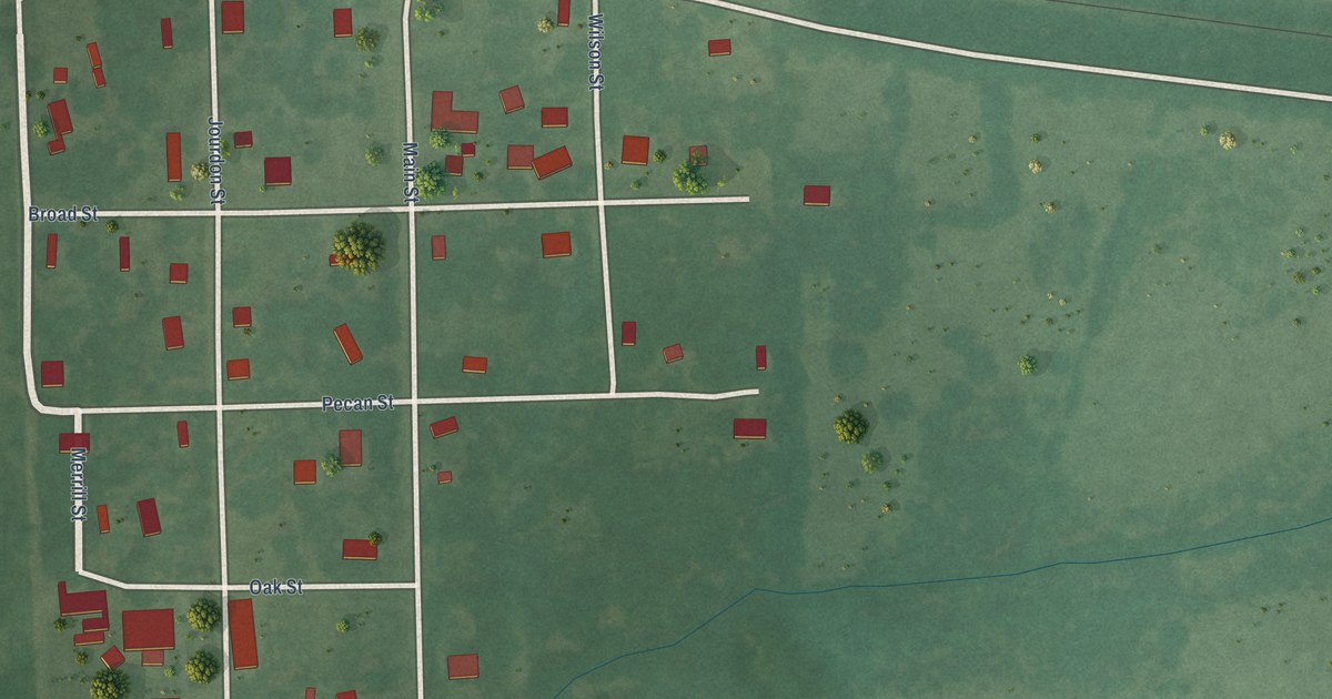
A detailed map of Swink, Oklahoma, showing every building in its true location, the roads by name, and shaded topographical relief.
Read More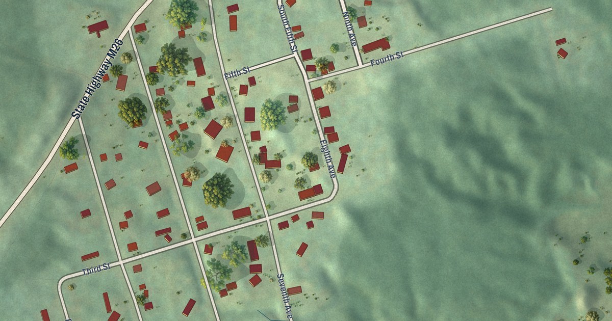
A detailed map of Trimountain, Michigan, showing every building in its true location, the roads by name, and shaded topographical relief.
Read More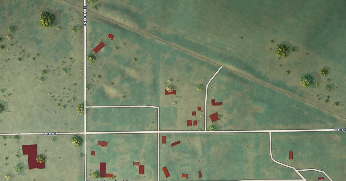
A detailed map of Sumner, Oklahoma, showing every building in its true location, the roads by name, and shaded topographical relief.
Read More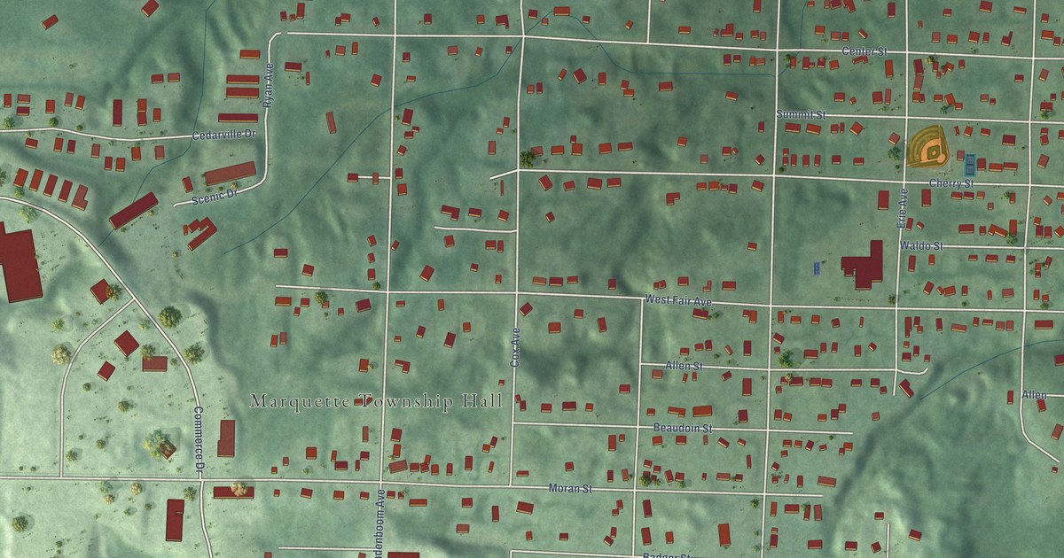
A detailed map of Trowbridge Park, Michigan, showing every building in its true location, the roads by name, and shaded topographical relief.
Read More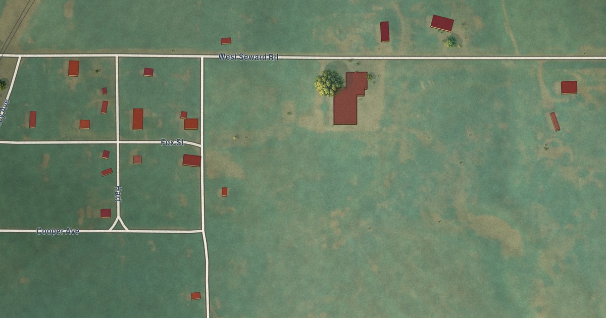
A detailed map of Seward, Oklahoma, showing every building in its true location, the roads by name, and shaded topographical relief.
Read More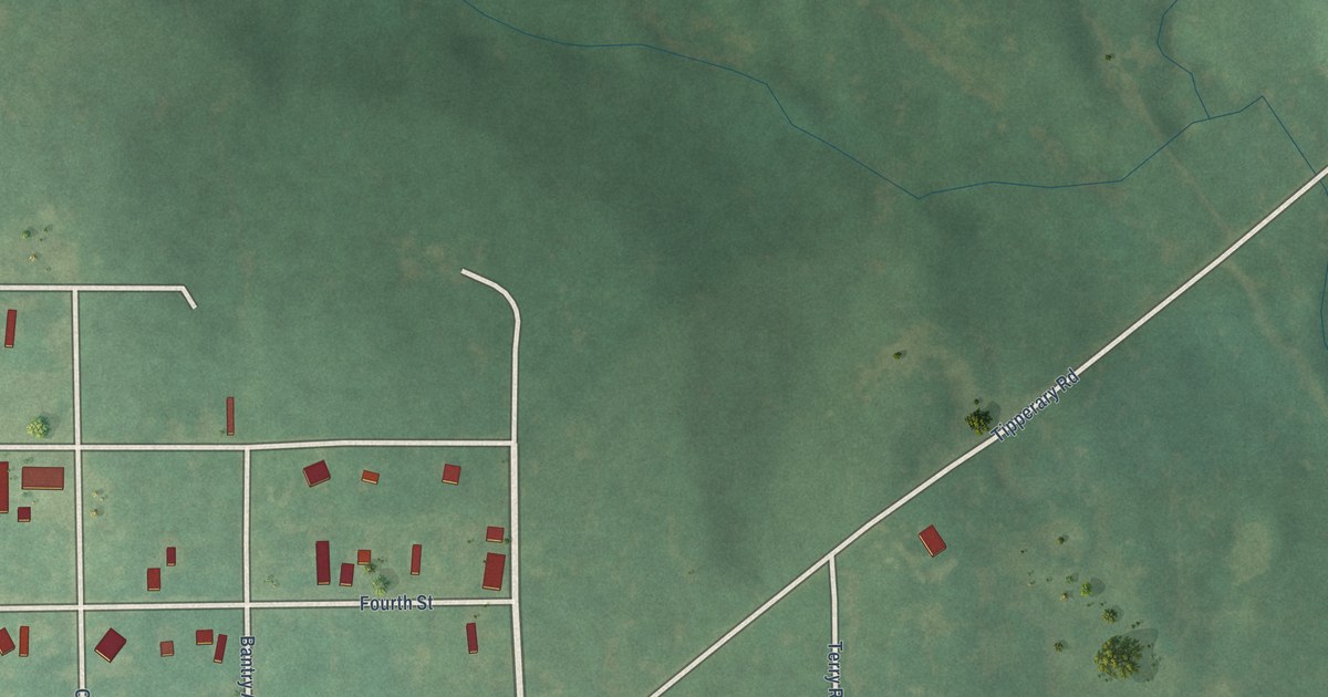
A detailed map of Shamrock, Oklahoma, showing every building in its true location, the roads by name, and shaded topographical relief.
Read More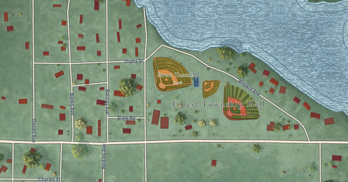
A detailed map of Tower, Michigan, showing every building in its true location, the roads by name, and shaded topographical relief.
Read More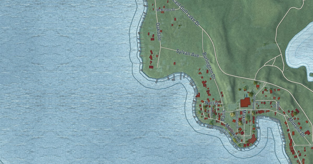
A detailed map of South Gull Lake, Michigan, showing every building in its true location, the roads by name, and shaded topographical relief.
Read More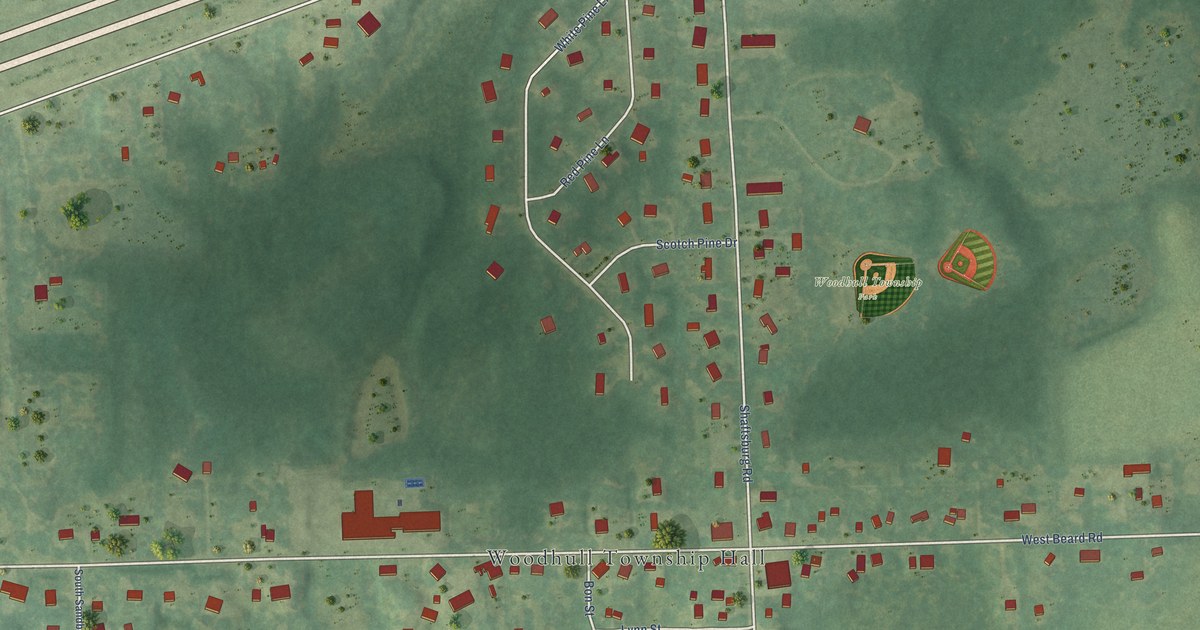
A detailed map of Shaftsburg, Michigan, showing every building in its true location, the roads by name, and shaded topographical relief.
Read More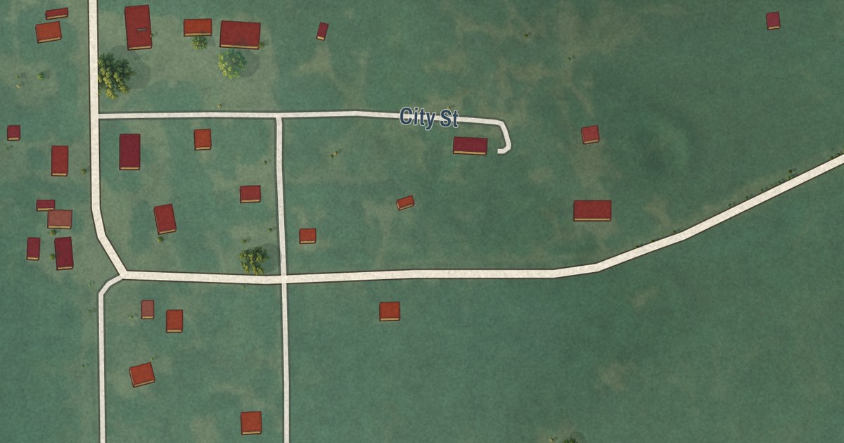
A detailed map of Reagan, Oklahoma, showing every building in its true location, the roads by name, and shaded topographical relief.
Read More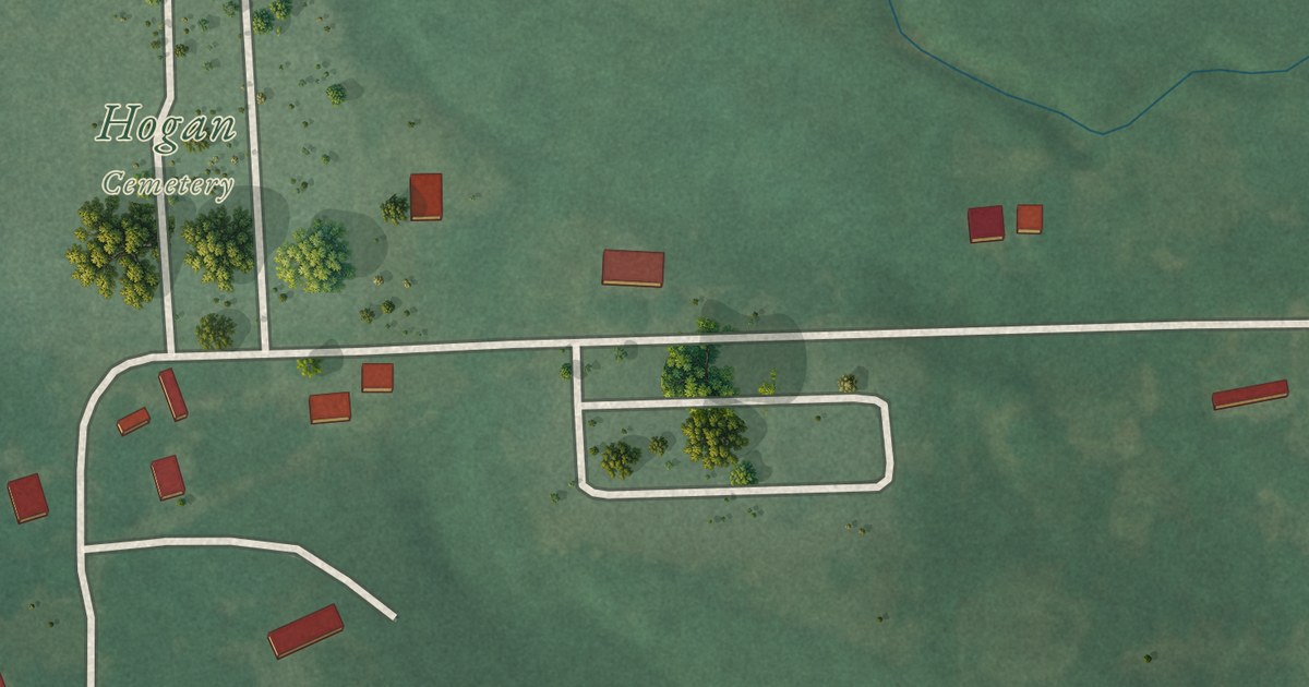
A detailed map of Sams Corner, Oklahoma, showing every building in its true location, the roads by name, and shaded topographical relief.
Read More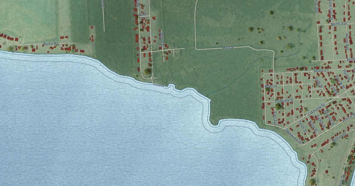
A detailed map of Stony Point, Michigan, showing every building in its true location, the roads by name, and shaded topographical relief.
Read More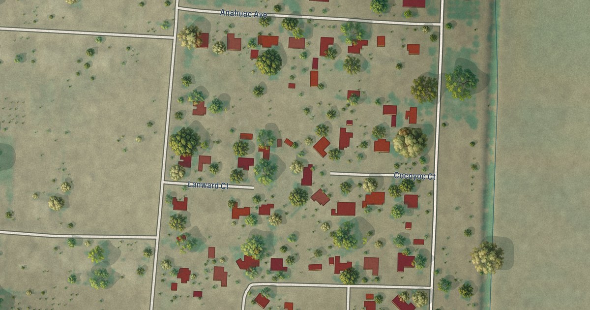
A detailed map of Prado Verde, Texas, showing every building in its true location, the roads by name, and shaded topographical relief.
Read More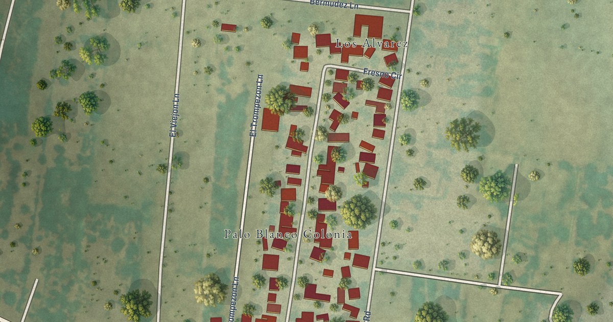
A detailed map of Palo Blanco, Texas, showing every building in its true location, the roads by name, and shaded topographical relief.
Read More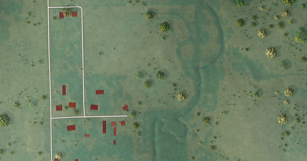
A detailed map of Scipio, Oklahoma, showing every building in its true location, the roads by name, and shaded topographical relief.
Read More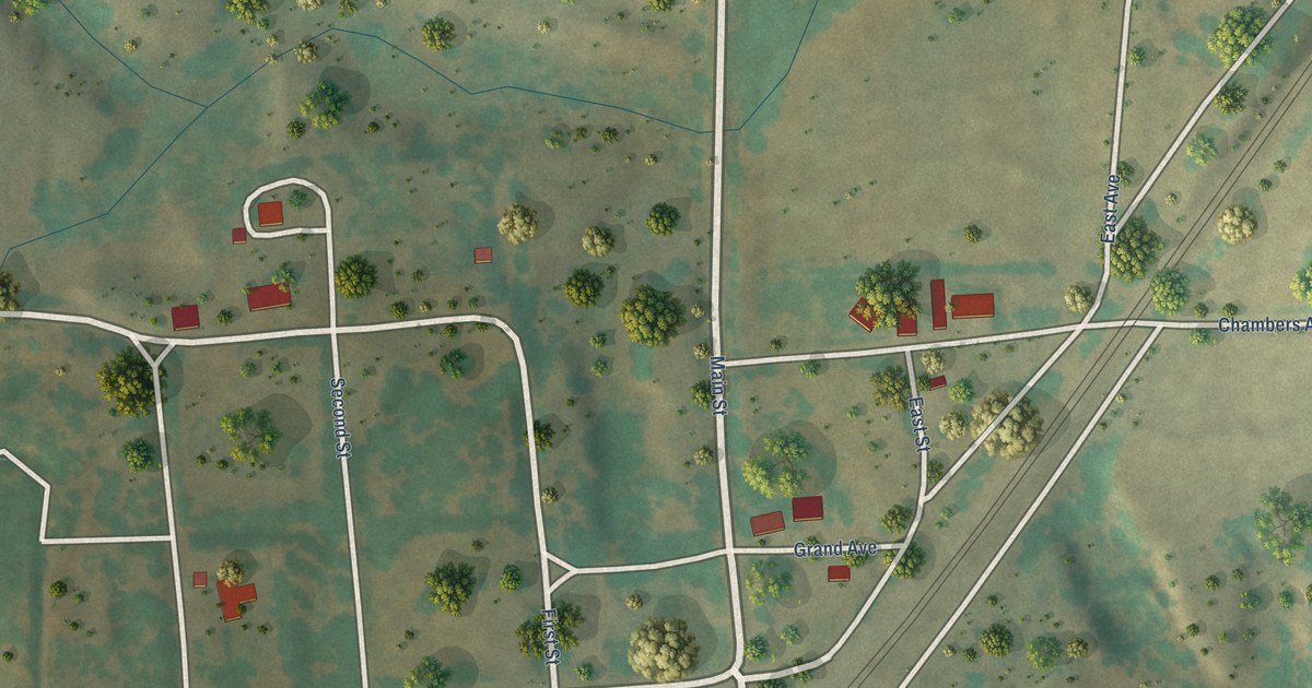
A detailed map of Quinlan, Oklahoma, showing every building in its true location, the roads by name, and shaded topographical relief.
Read More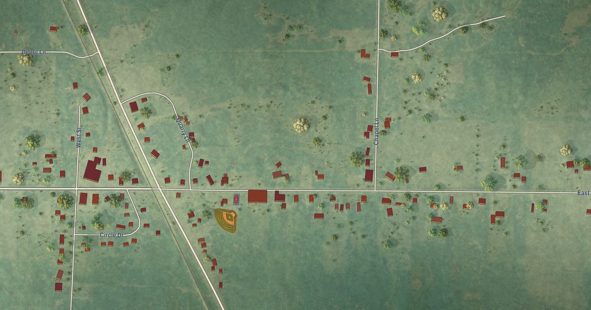
A detailed map of Rock, Michigan, showing every building in its true location, the roads by name, and shaded topographical relief.
Read More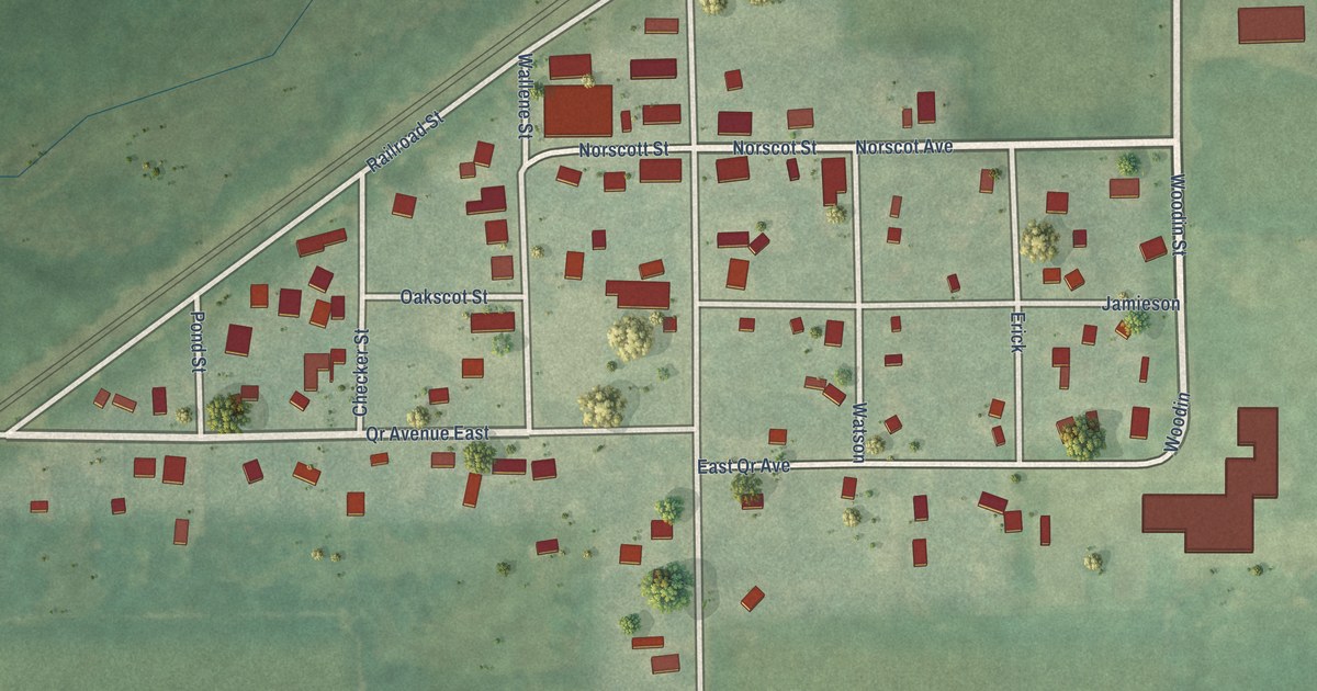
A detailed map of Scotts, Michigan, showing every building in its true location, the roads by name, and shaded topographical relief.
Read More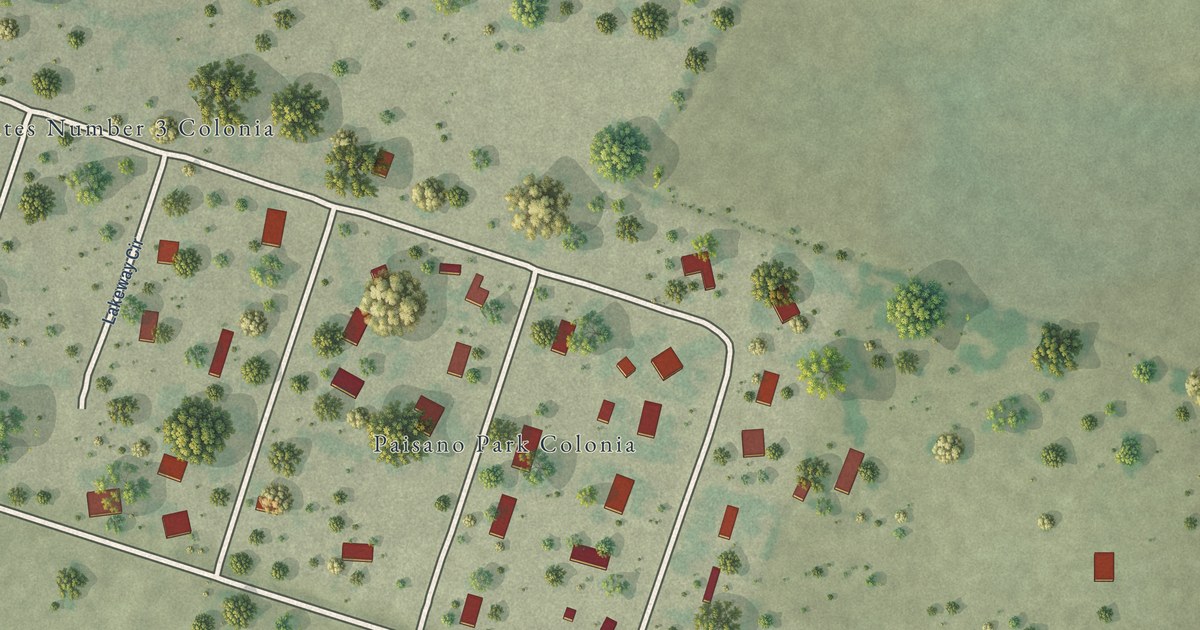
A detailed map of Paisano Park, Texas, showing every building in its true location, the roads by name, and shaded topographical relief.
Read More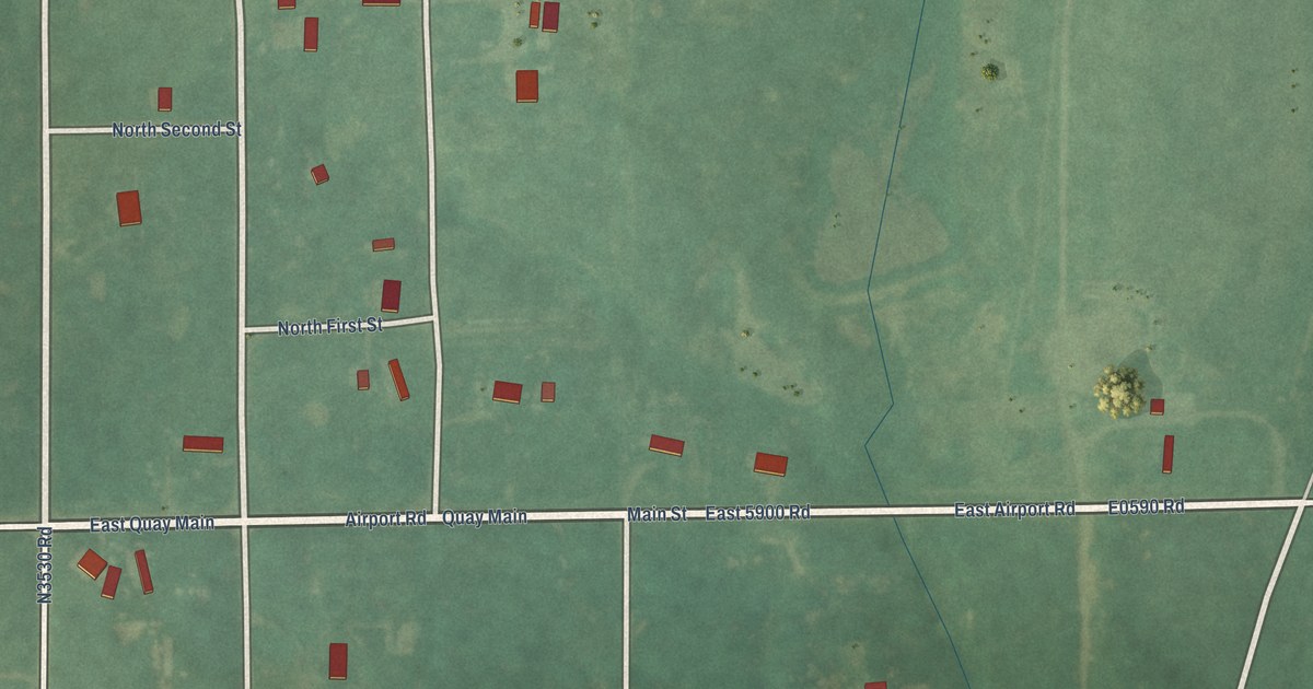
A detailed map of Quay, Oklahoma, showing every building in its true location, the roads by name, and shaded topographical relief.
Read More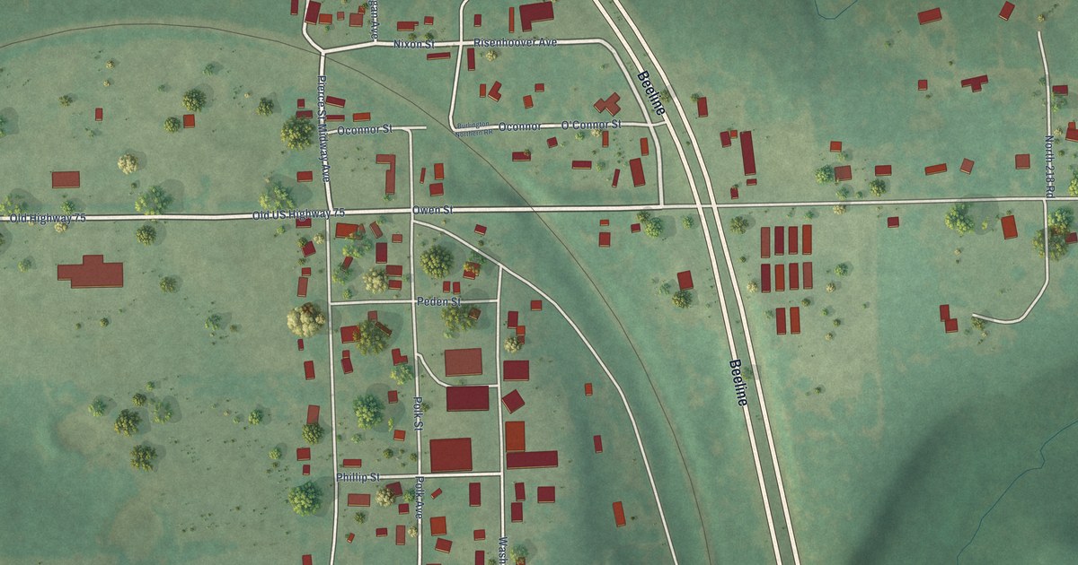
A detailed map of Preston, Oklahoma, showing every building in its true location, the roads by name, and shaded topographical relief.
Read More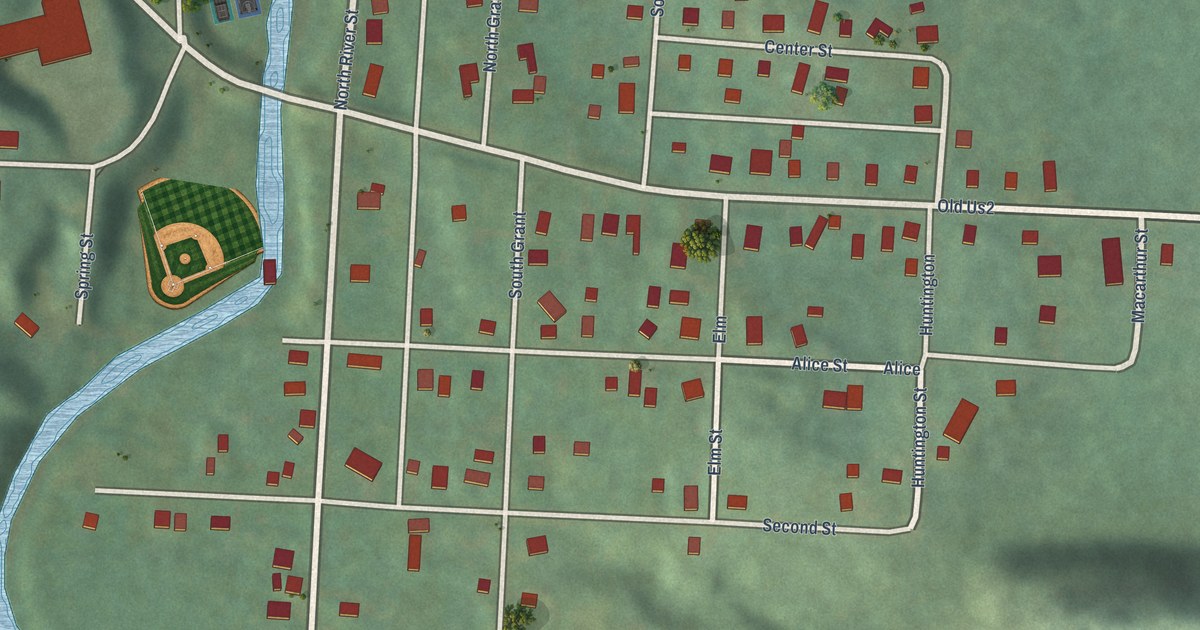
A detailed map of Ramsay, Michigan, showing every building in its true location, the roads by name, and shaded topographical relief.
Read More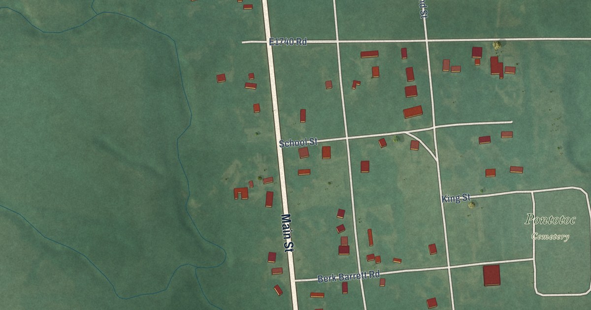
A detailed map of Pontotoc, Oklahoma, showing every building in its true location, the roads by name, and shaded topographical relief.
Read More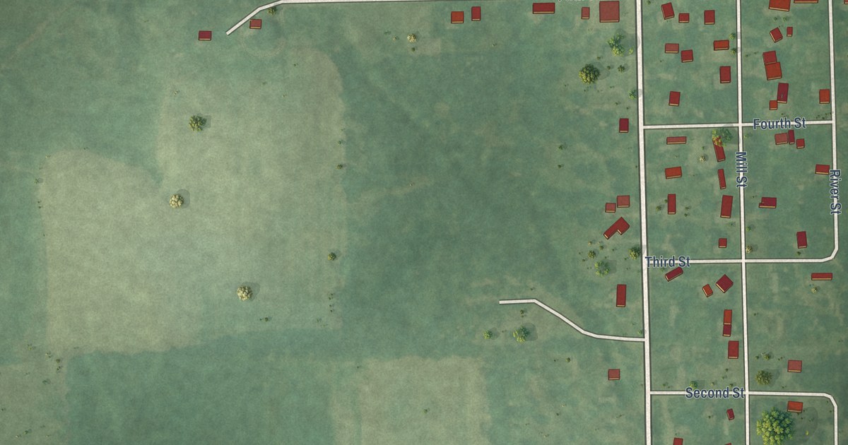
A detailed map of Riverdale, Michigan, showing every building in its true location, the roads by name, and shaded topographical relief.
Read More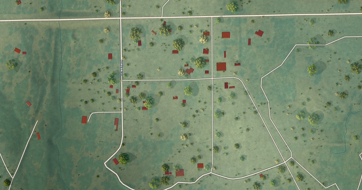
A detailed map of Pershing, Oklahoma, showing every building in its true location, the roads by name, and shaded topographical relief.
Read More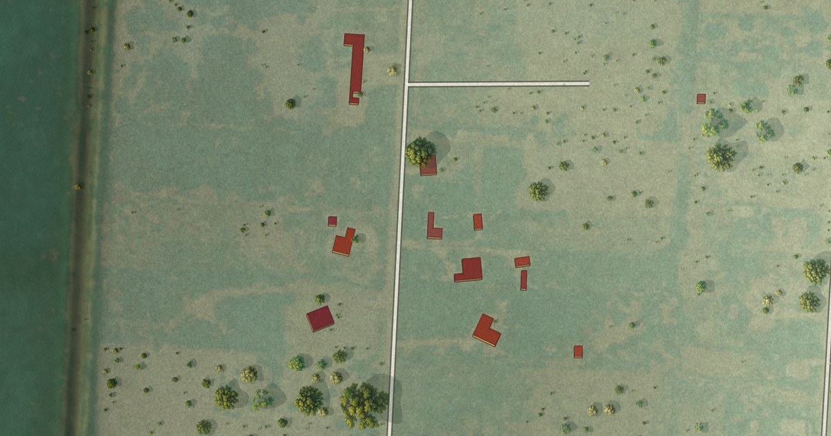
A detailed map of Orason, Texas, showing every building in its true location, the roads by name, and shaded topographical relief.
Read More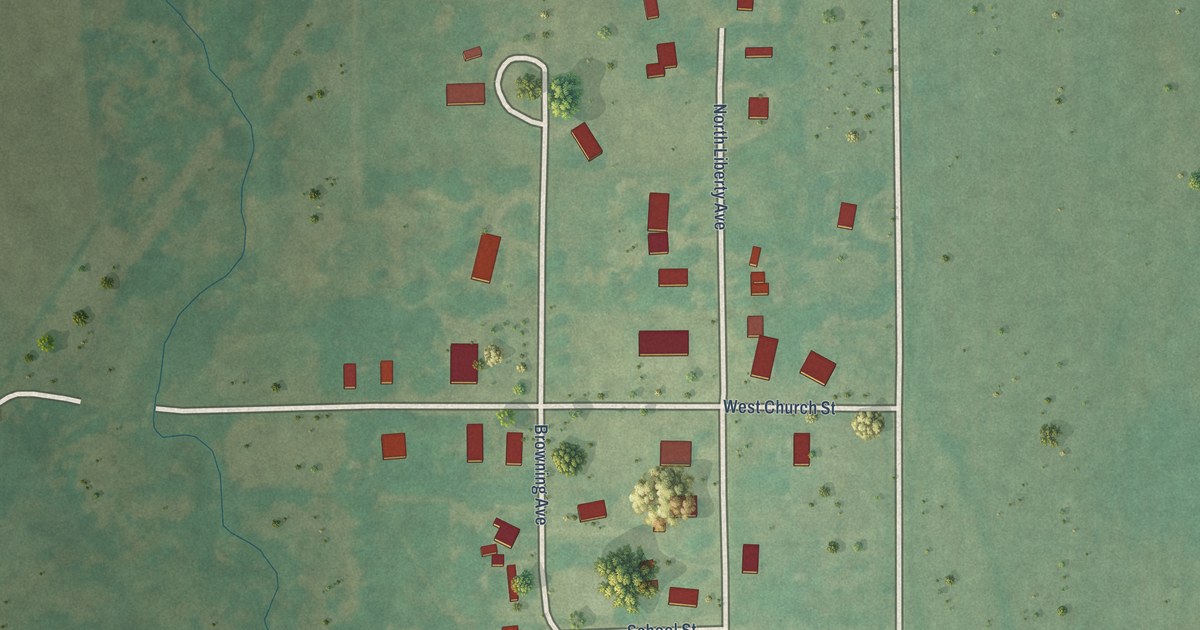
A detailed map of Peckham, Oklahoma, showing every building in its true location, the roads by name, and shaded topographical relief.
Read More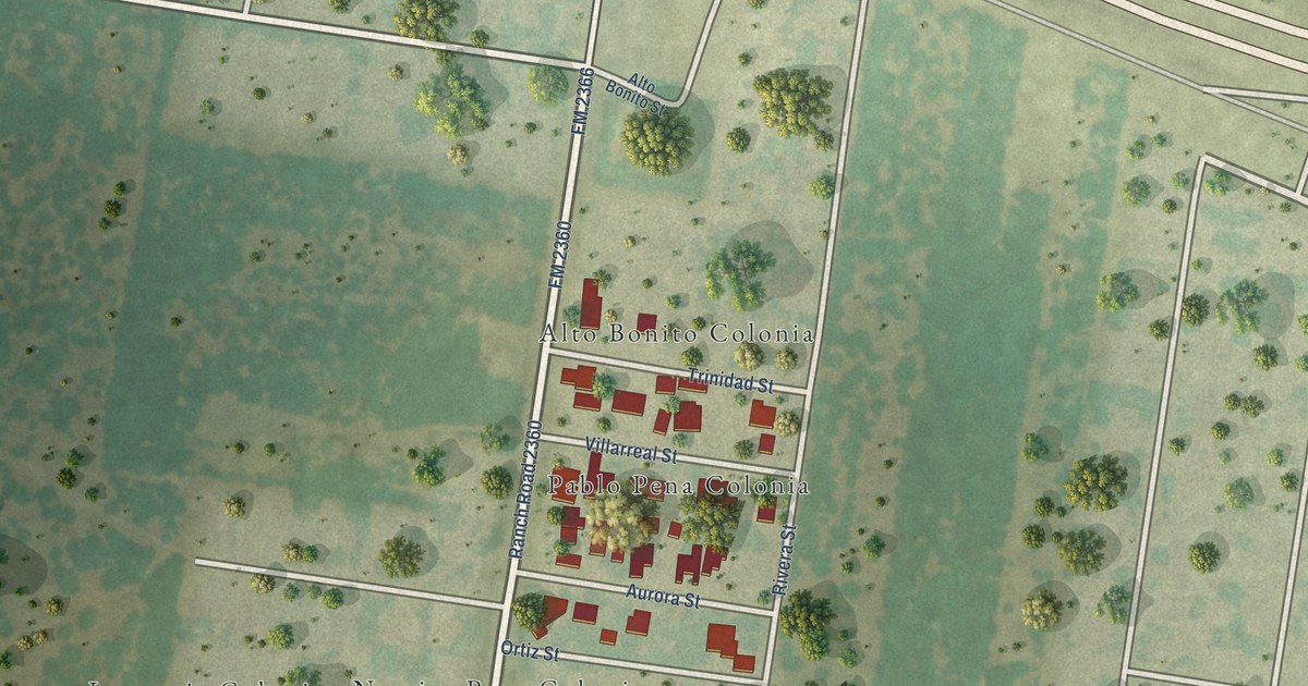
A detailed map of Pablo Pena, Texas, showing every building in its true location, the roads by name, and shaded topographical relief.
Read More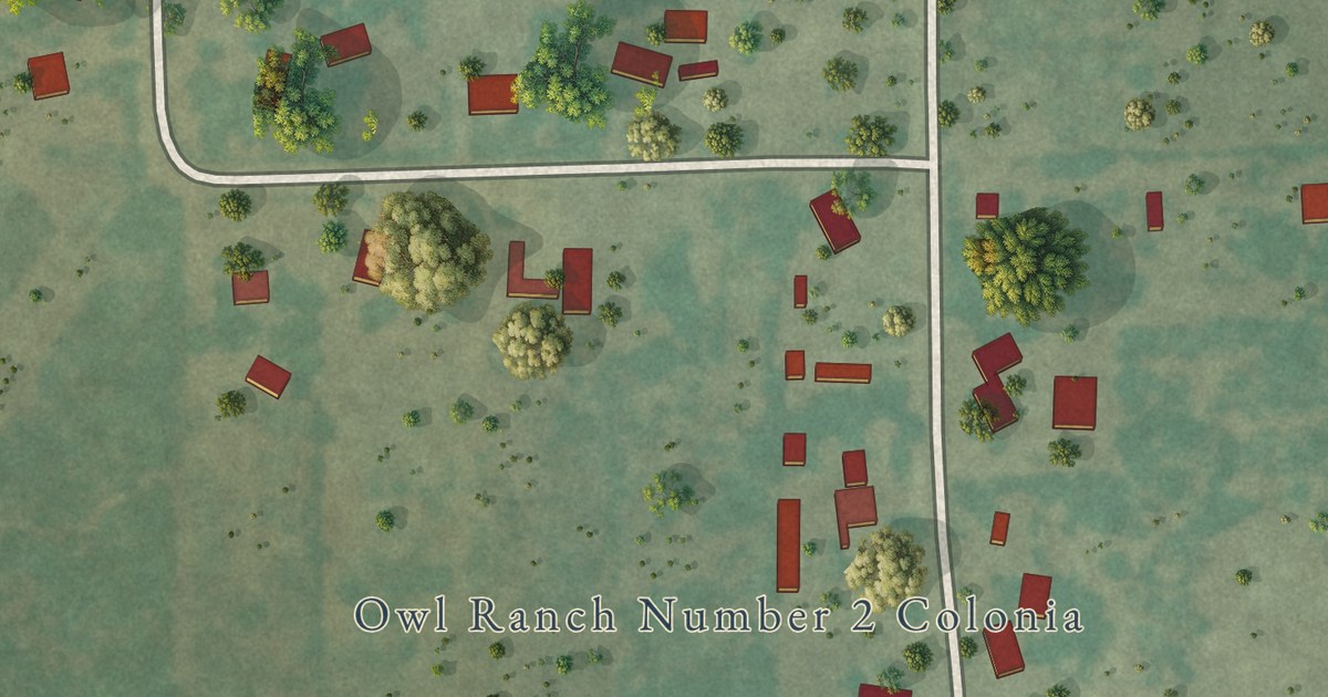
A detailed map of Owl Ranch, Texas, showing every building in its true location, the roads by name, and shaded topographical relief.
Read More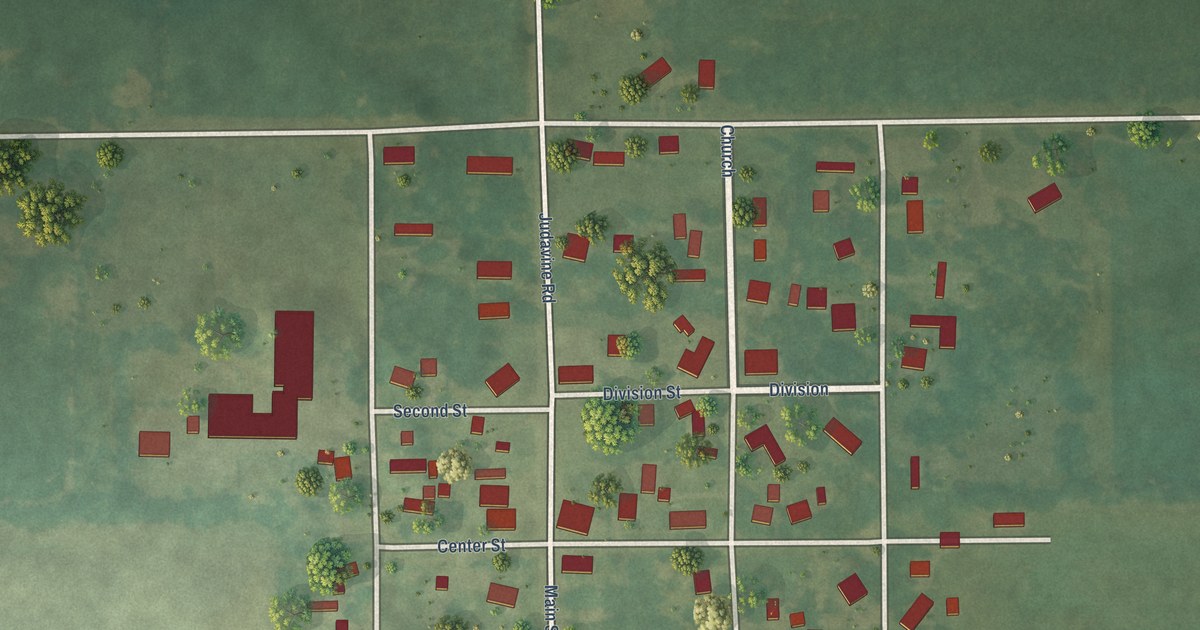
A detailed map of Palo, Michigan, showing every building in its true location, the roads by name, and shaded topographical relief.
Read More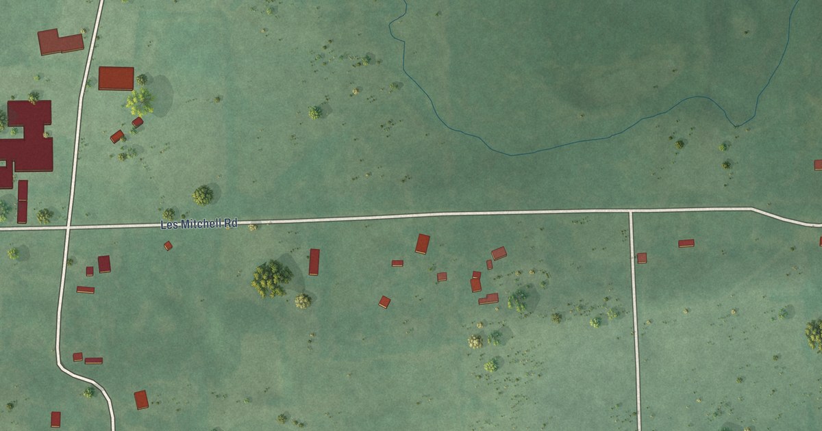
A detailed map of Panola, Oklahoma, showing every building in its true location, the roads by name, and shaded topographical relief.
Read More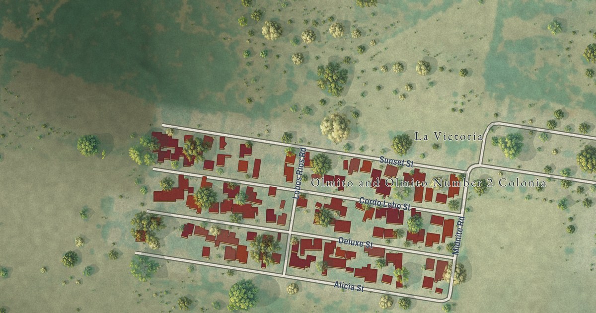
A detailed map of Olmito and Olmito, Texas, showing every building in its true location, the roads by name, and shaded topographical relief.
Read More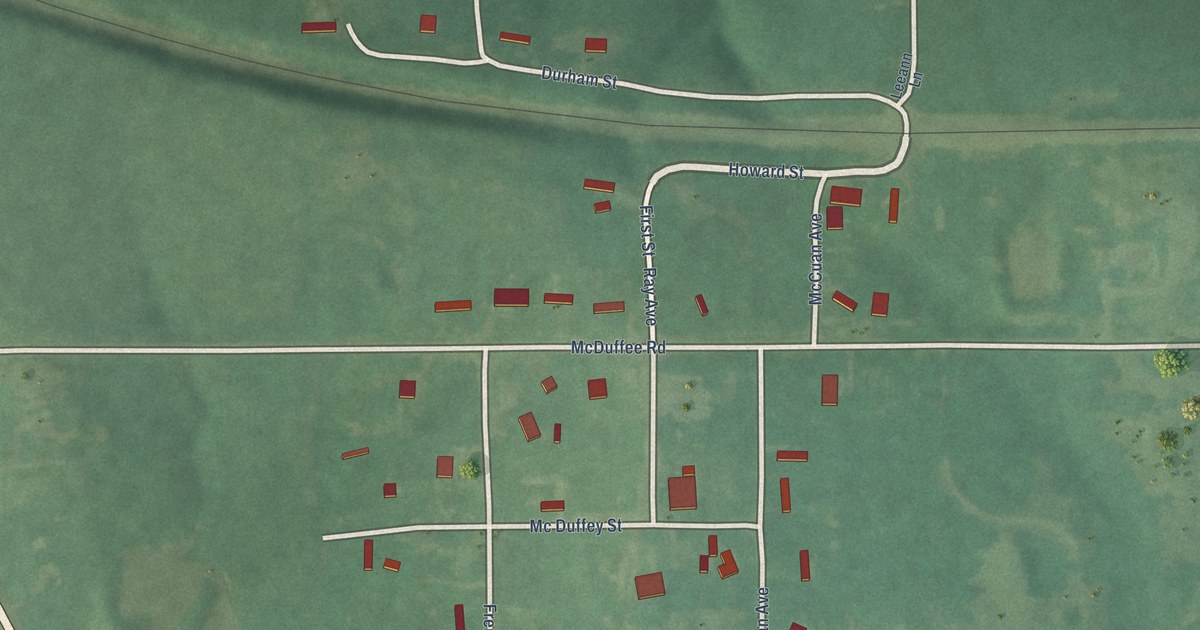
A detailed map of New Woodville, Oklahoma, showing every building in its true location, the roads by name, and shaded topographical relief.
Read More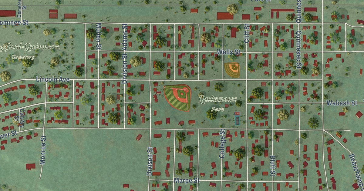
A detailed map of Quinnesec, Michigan, showing every building in its true location, the roads by name, and shaded topographical relief.
Read More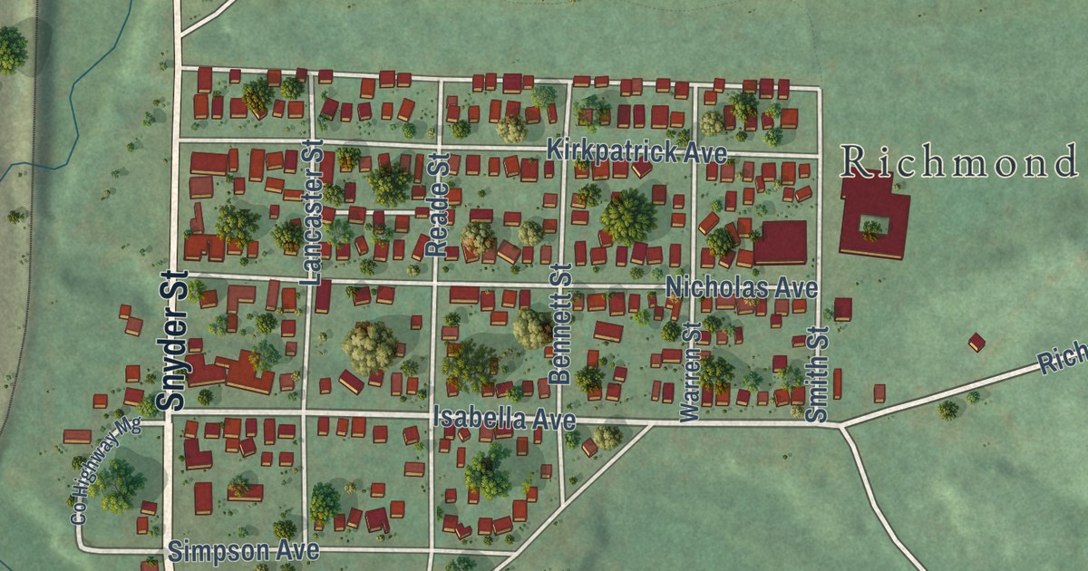
A detailed map of Palmer, Michigan, showing every building in its true location, the roads by name, and shaded topographical relief.
Read More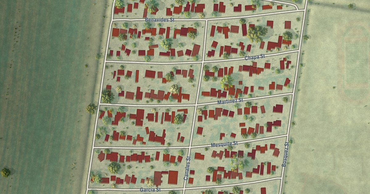
A detailed map of North San Pedro, Texas, showing every building in its true location, the roads by name, and shaded topographical relief.
Read More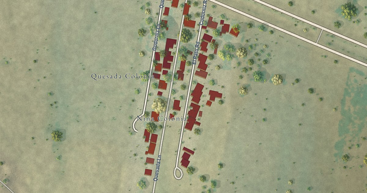
A detailed map of Nina, Texas, showing every building in its true location, the roads by name, and shaded topographical relief.
Read More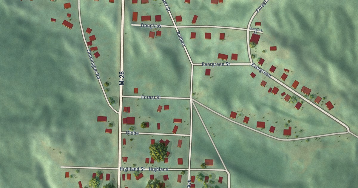
A detailed map of Painesdale, Michigan, showing every building in its true location, the roads by name, and shaded topographical relief.
Read More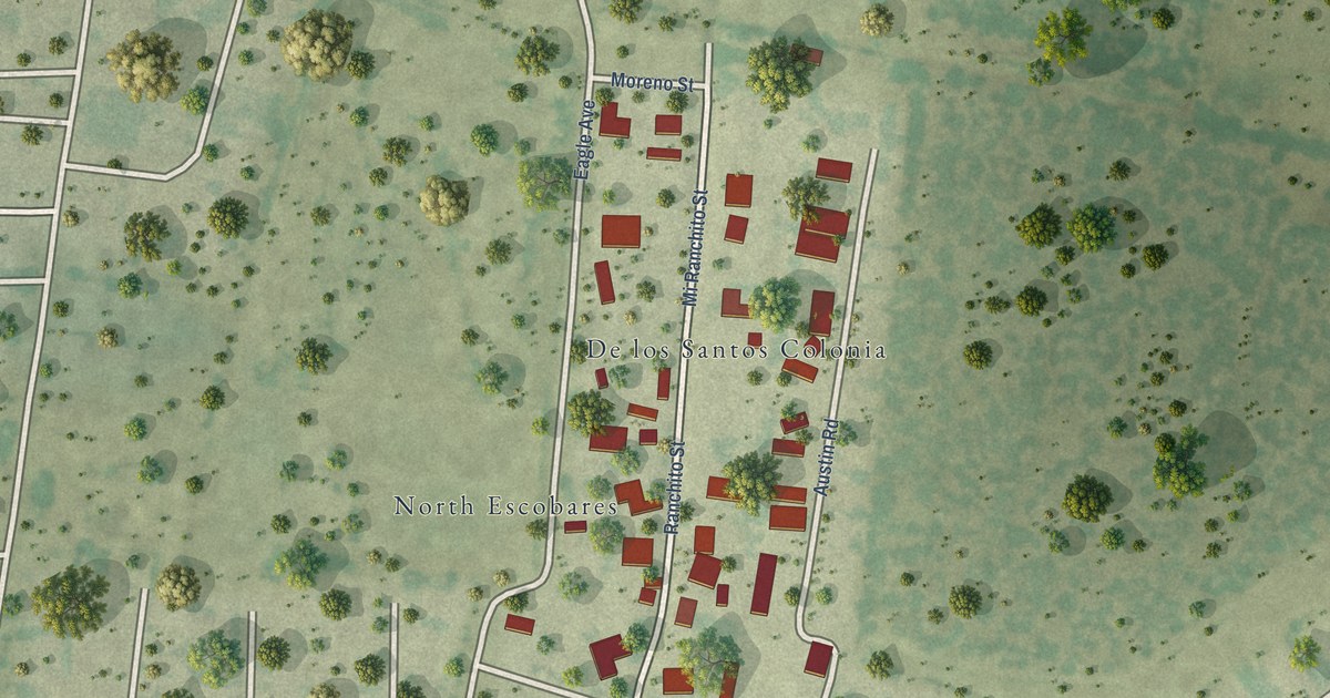
A detailed map of Moraida, Texas, showing every building in its true location, the roads by name, and shaded topographical relief.
Read More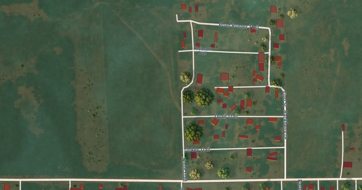
A detailed map of Nescatunga, Oklahoma, showing every building in its true location, the roads by name, and shaded topographical relief.
Read More















