Detailed Map of Cynthiana, Ohio
A detailed map of Cynthiana, Ohio, showing every building in its true location, the roads by name, and shaded topographical relief.
Read More
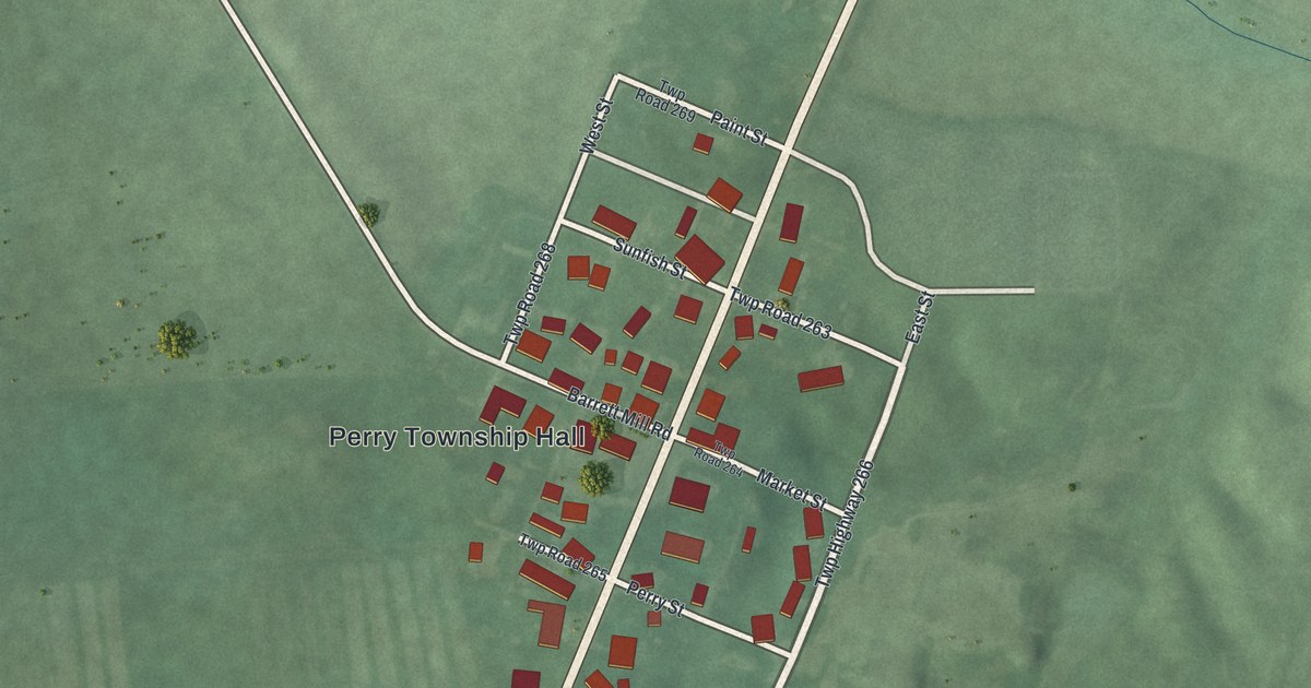
A detailed map of Cynthiana, Ohio, showing every building in its true location, the roads by name, and shaded topographical relief.
Read More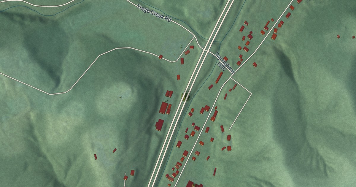
A detailed map of Massieville, Ohio, showing every building in its true location, the roads by name, and shaded topographical relief.
Read More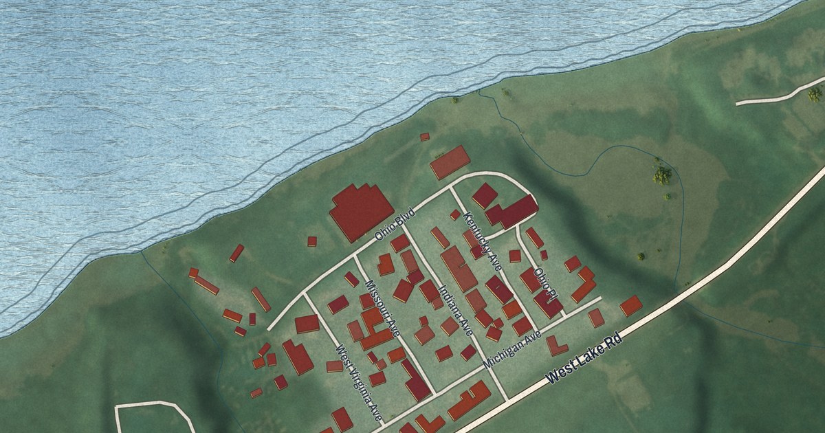
A detailed map of Beulah Beach, Ohio, showing every building in its true location, the roads by name, and shaded topographical relief.
Read More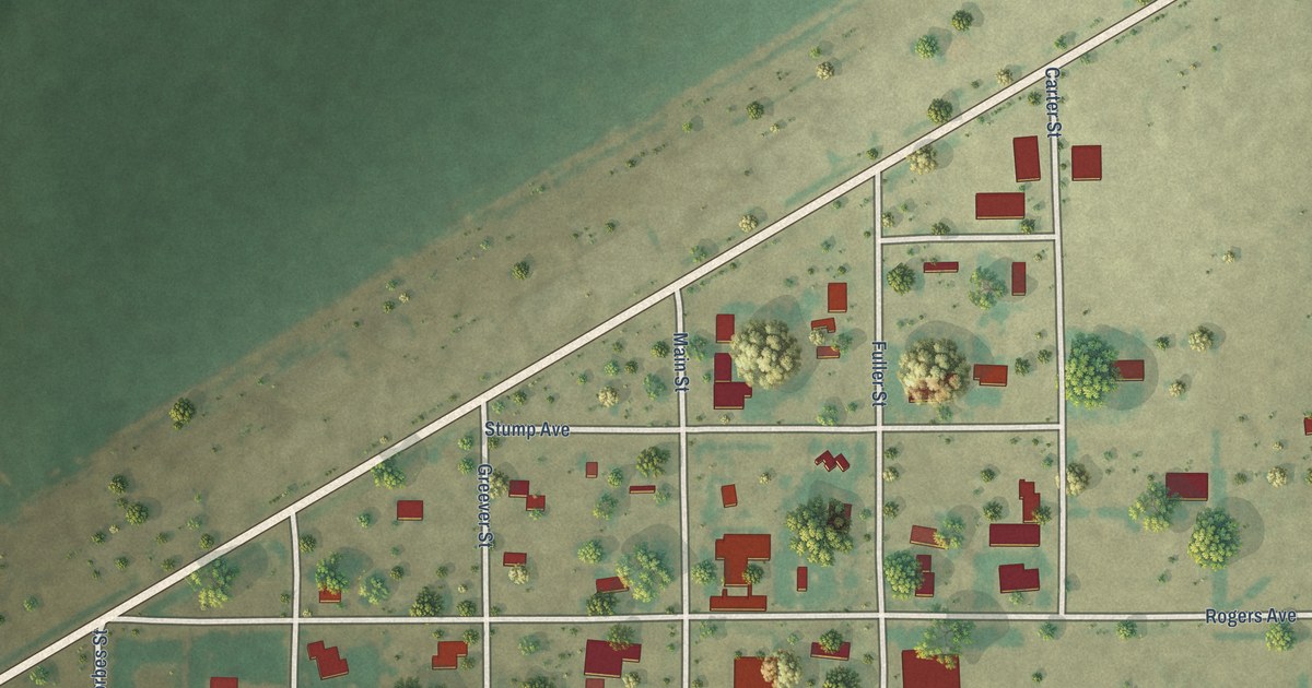
A detailed map of Waka, Texas, showing every building in its true location, the roads by name, and shaded topographical relief.
Read More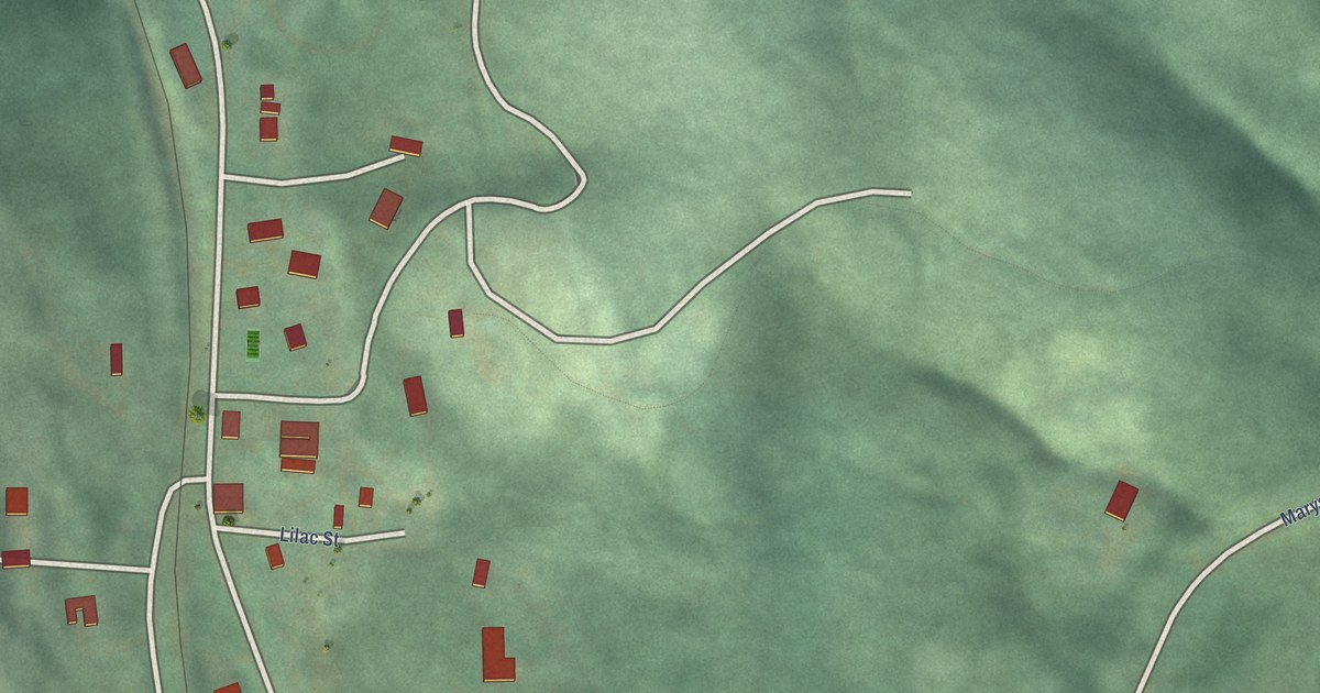
A detailed map of Summit, Oregon, showing every building in its true location, the roads by name, and shaded topographical relief.
Read More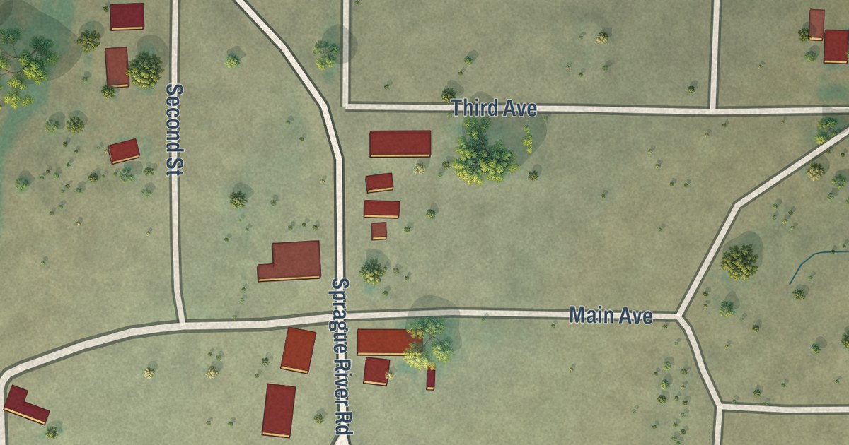
A detailed map of Sprague River, Oregon, showing every building in its true location, the roads by name, and shaded topographical relief.
Read More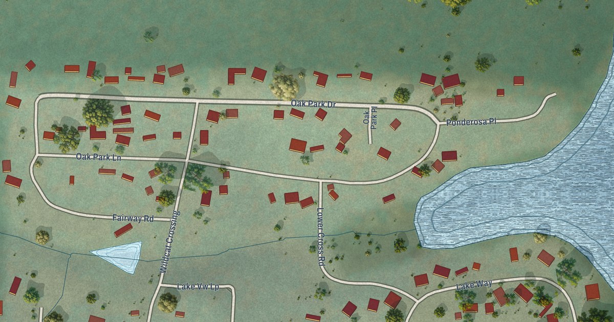
A detailed map of Sportsmans Park, Oregon, showing every building in its true location, the roads by name, and shaded topographical relief.
Read More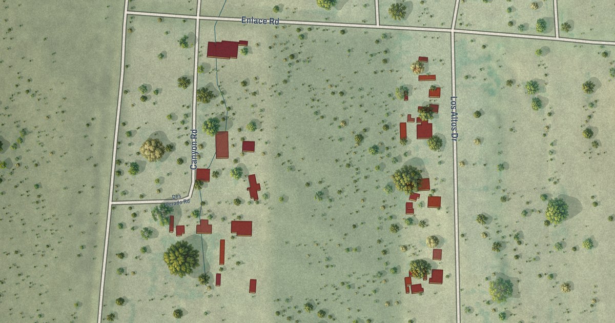
A detailed map of Tanquecitos South Acres II, Texas, showing every building in its true location, the roads by name, and shaded topographical relief.
Read More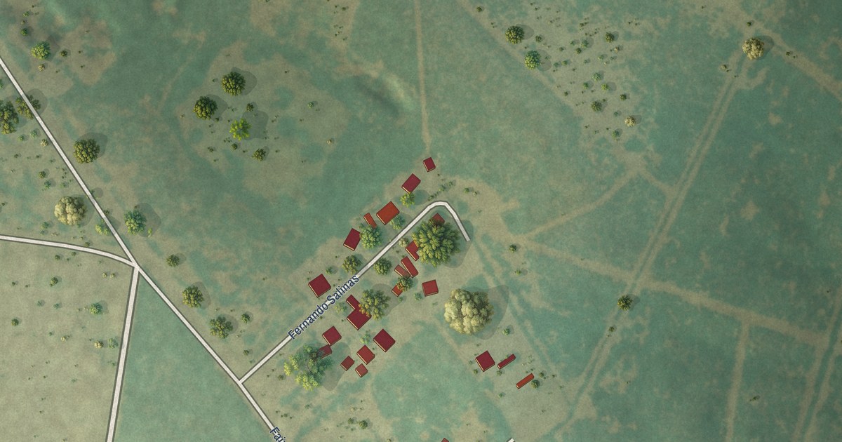
A detailed map of San Fernando, Texas, showing every building in its true location, the roads by name, and shaded topographical relief.
Read More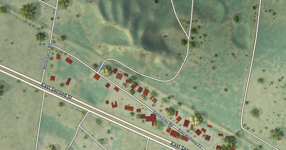
A detailed map of Santa Cruz, Texas, showing every building in its true location, the roads by name, and shaded topographical relief.
Read More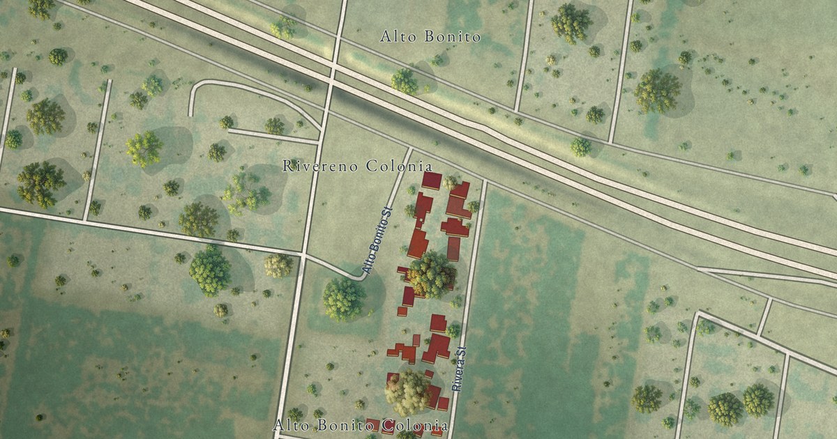
A detailed map of Rivereno, Texas, showing every building in its true location, the roads by name, and shaded topographical relief.
Read More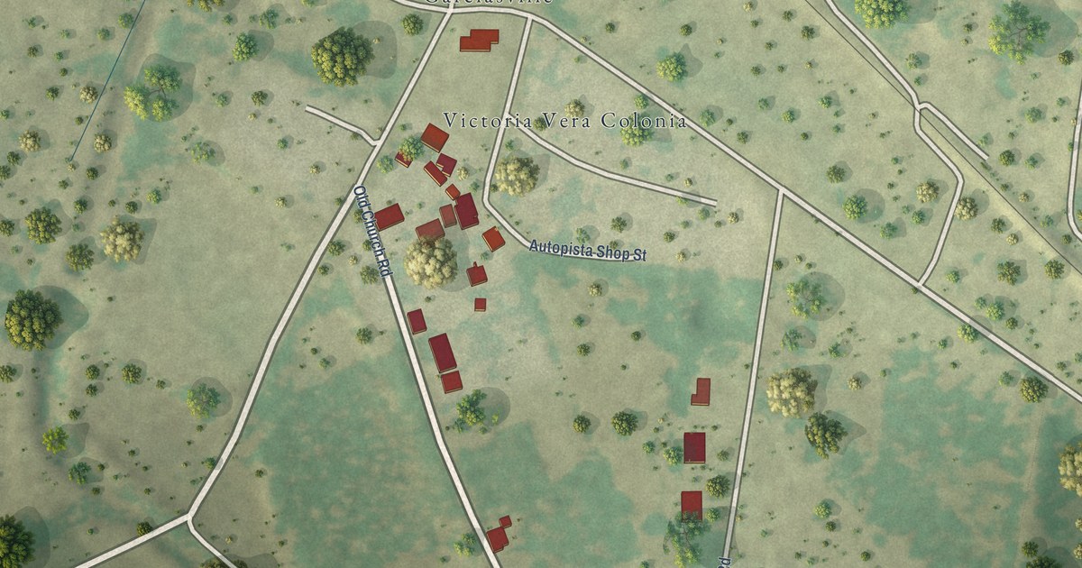
A detailed map of Ramirez-Perez, Texas, showing every building in its true location, the roads by name, and shaded topographical relief.
Read More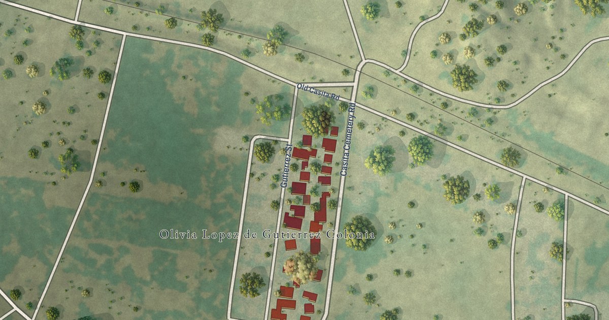
A detailed map of Olivia Lopez de Gutierrez, Texas, showing every building in its true location, the roads by name, and shaded topographical relief.
Read More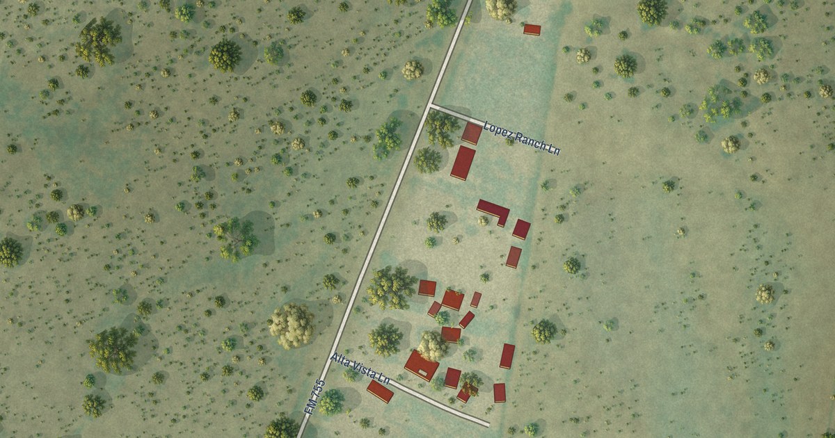
A detailed map of Martinez, Texas, showing every building in its true location, the roads by name, and shaded topographical relief.
Read More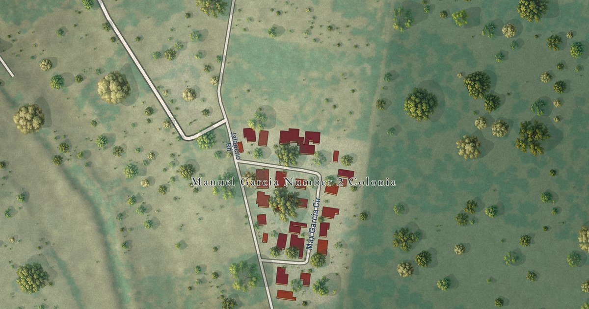
A detailed map of Manuel Garcia II, Texas, showing every building in its true location, the roads by name, and shaded topographical relief.
Read More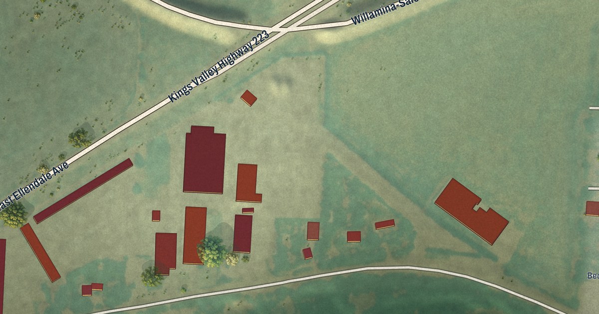
A detailed map of Rickreall, Oregon, showing every building in its true location, the roads by name, and shaded topographical relief.
Read More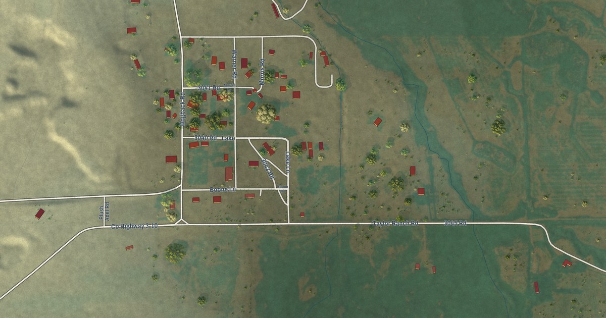
A detailed map of Plush, Oregon, showing every building in its true location, the roads by name, and shaded topographical relief.
Read More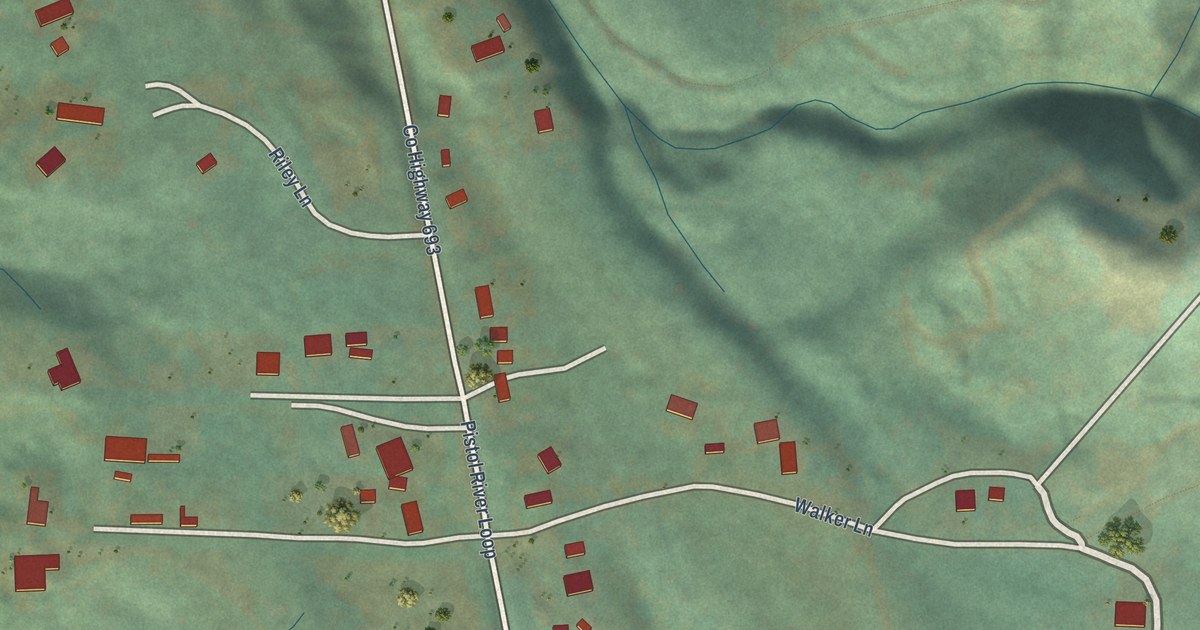
A detailed map of Pistol River, Oregon, showing every building in its true location, the roads by name, and shaded topographical relief.
Read More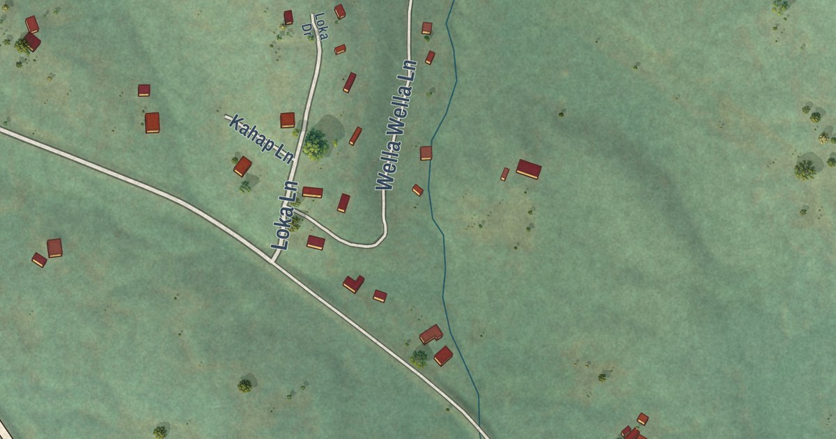
A detailed map of Meacham, Oregon, showing every building in its true location, the roads by name, and shaded topographical relief.
Read More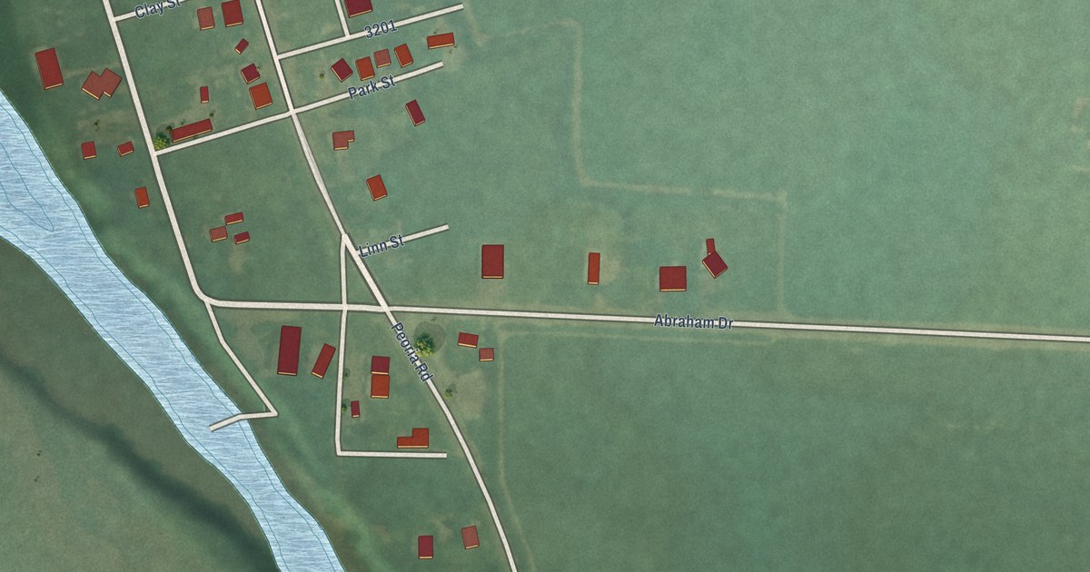
A detailed map of Peoria, Oregon, showing every building in its true location, the roads by name, and shaded topographical relief.
Read More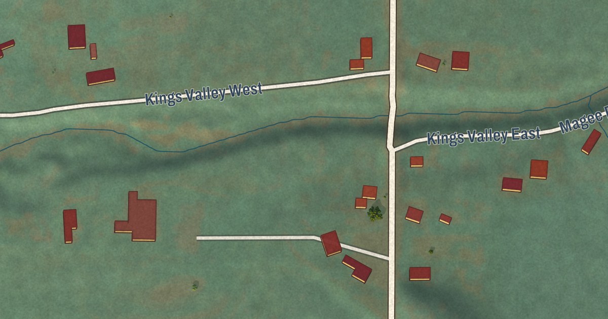
A detailed map of Kings Valley, Oregon, showing every building in its true location, the roads by name, and shaded topographical relief.
Read More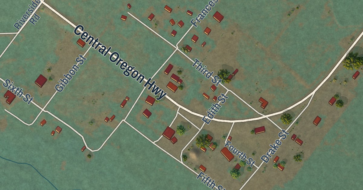
A detailed map of Juntura, Oregon, showing every building in its true location, the roads by name, and shaded topographical relief.
Read More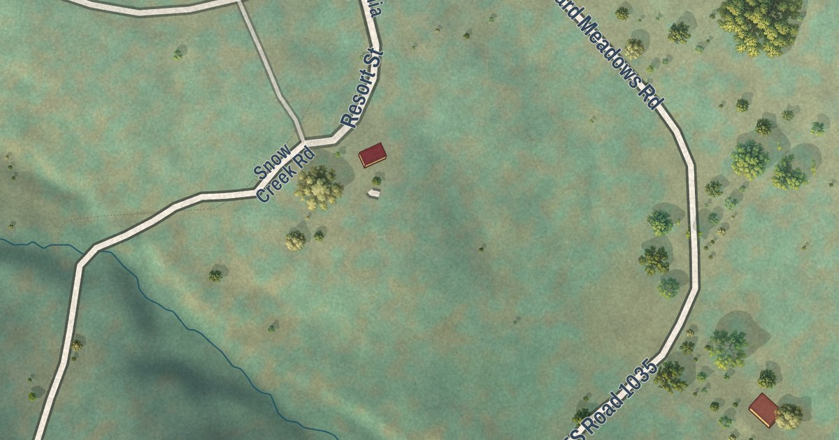
A detailed map of Greenhorn, Oregon, showing every building in its true location, the roads by name, and shaded topographical relief.
Read More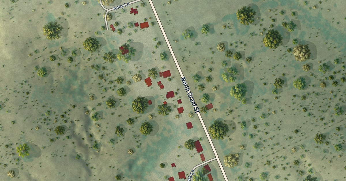
A detailed map of Los Arrieros, Texas, showing every building in its true location, the roads by name, and shaded topographical relief.
Read More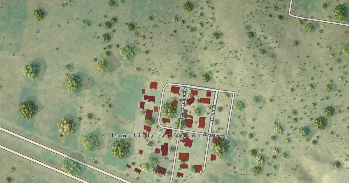
A detailed map of Loma Linda East, Texas, showing every building in its true location, the roads by name, and shaded topographical relief.
Read More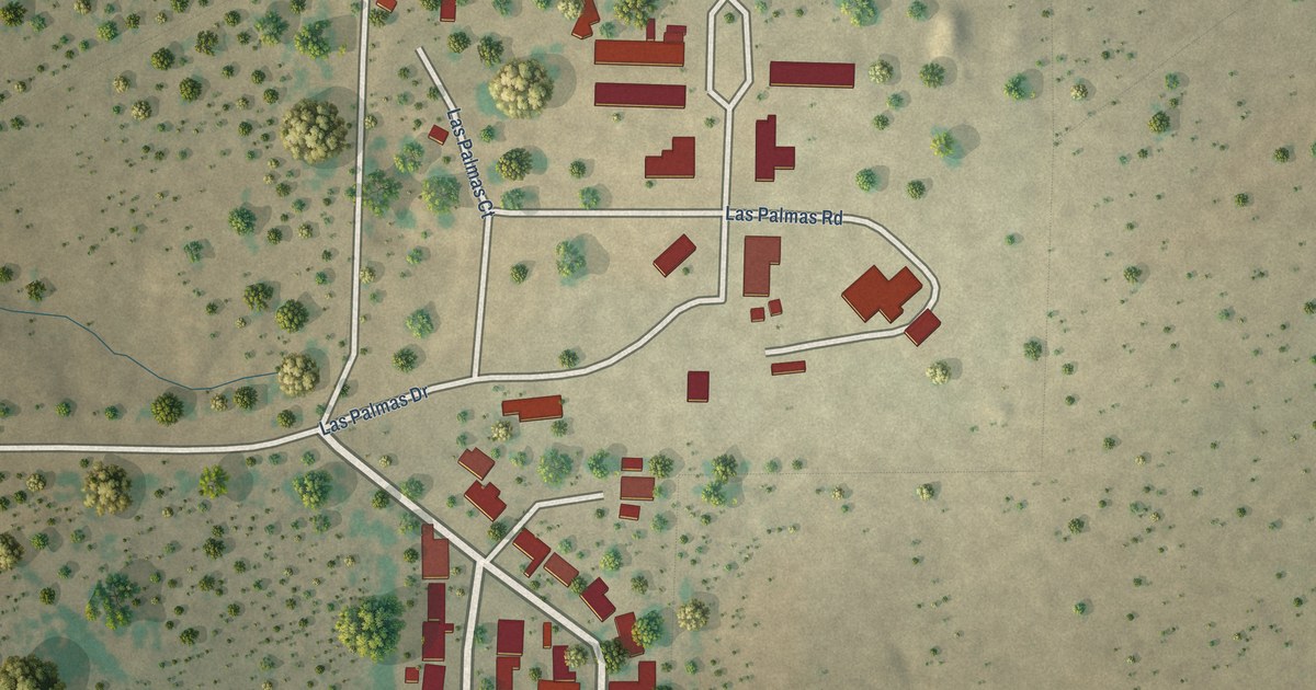
A detailed map of Las Palmas, Texas, showing every building in its true location, the roads by name, and shaded topographical relief.
Read More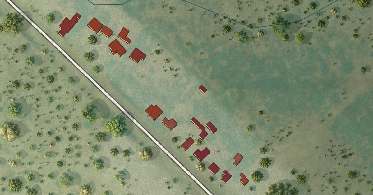
A detailed map of La Loma de Falcon, Texas, showing every building in its true location, the roads by name, and shaded topographical relief.
Read More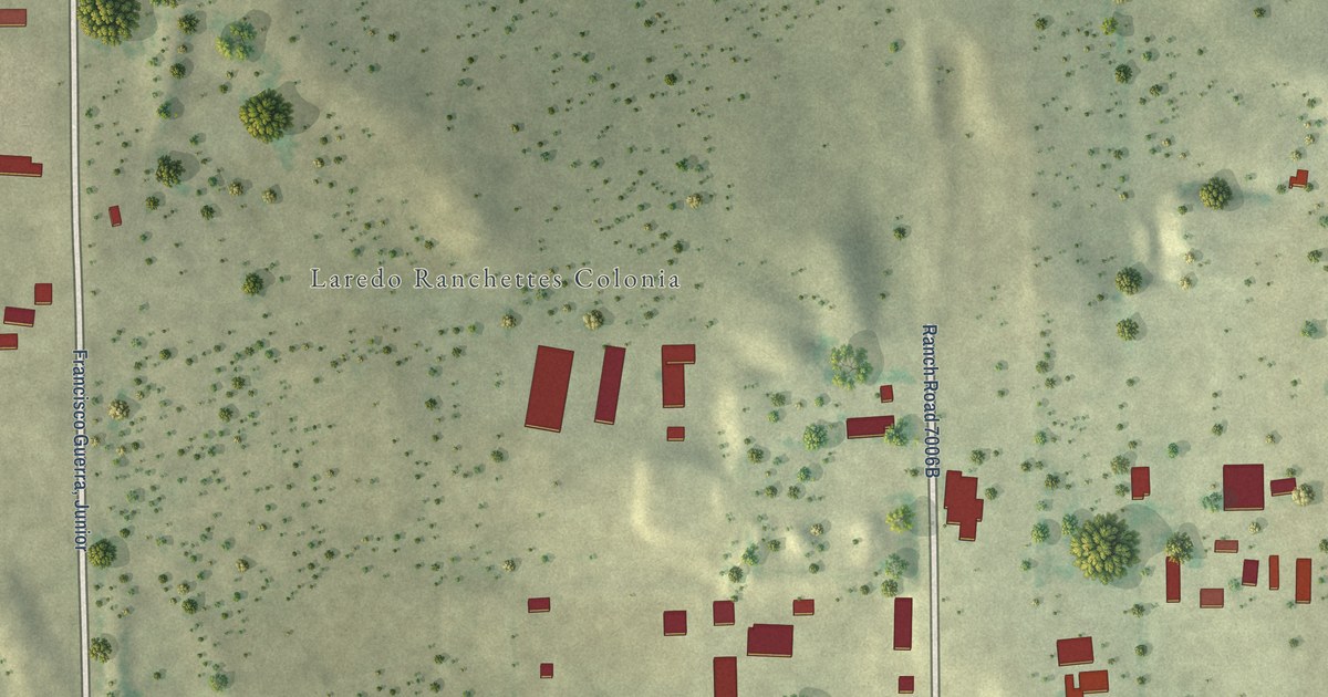
A detailed map of Laredo Ranchettes, Texas, showing every building in its true location, the roads by name, and shaded topographical relief.
Read More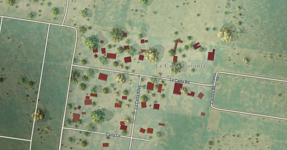
A detailed map of La Carla, Texas, showing every building in its true location, the roads by name, and shaded topographical relief.
Read More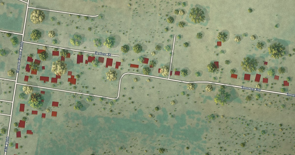
A detailed map of Gutierrez, Texas, showing every building in its true location, the roads by name, and shaded topographical relief.
Read More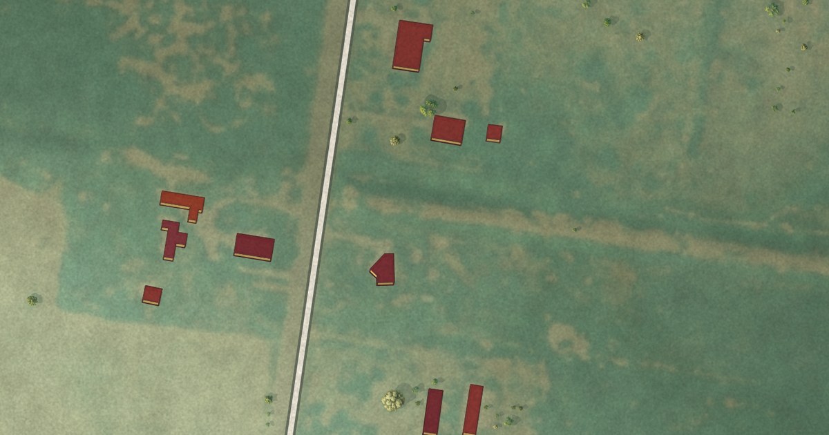
A detailed map of Harding Gill Tract, Texas, showing every building in its true location, the roads by name, and shaded topographical relief.
Read More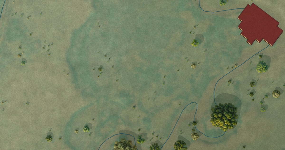
A detailed map of Fort Klamath, Oregon, showing every building in its true location, the roads by name, and shaded topographical relief.
Read More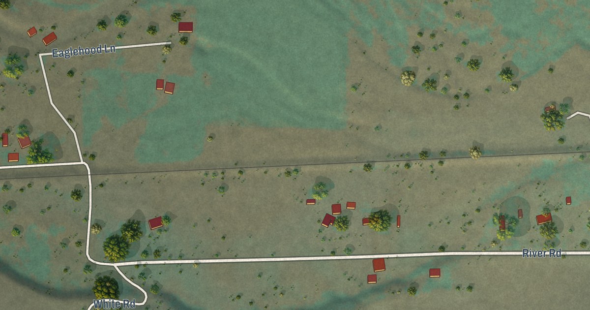
A detailed map of Cayuse, Oregon, showing every building in its true location, the roads by name, and shaded topographical relief.
Read More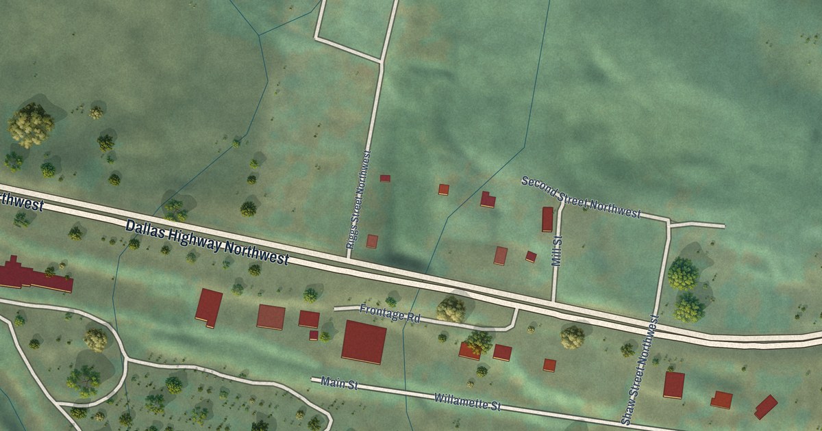
A detailed map of Eola, Oregon, showing every building in its true location, the roads by name, and shaded topographical relief.
Read More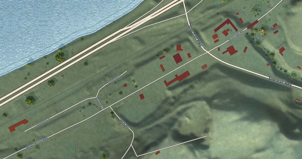
A detailed map of Biggs Junction, Oregon, showing every building in its true location, the roads by name, and shaded topographical relief.
Read More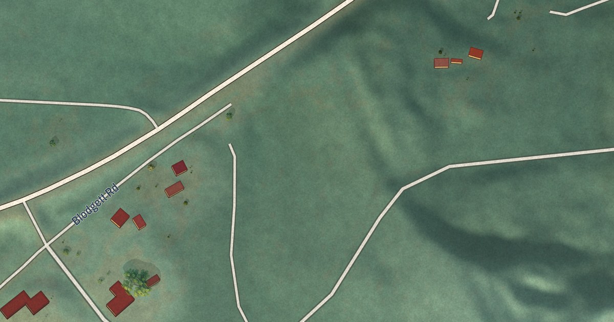
A detailed map of Blodgett, Oregon, showing every building in its true location, the roads by name, and shaded topographical relief.
Read More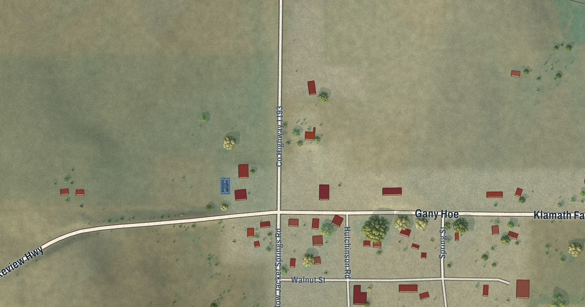
A detailed map of Beatty, Oregon, showing every building in its true location, the roads by name, and shaded topographical relief.
Read More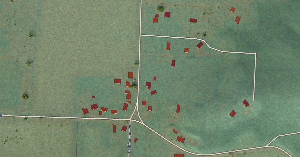
A detailed map of Bellfountain, Oregon, showing every building in its true location, the roads by name, and shaded topographical relief.
Read More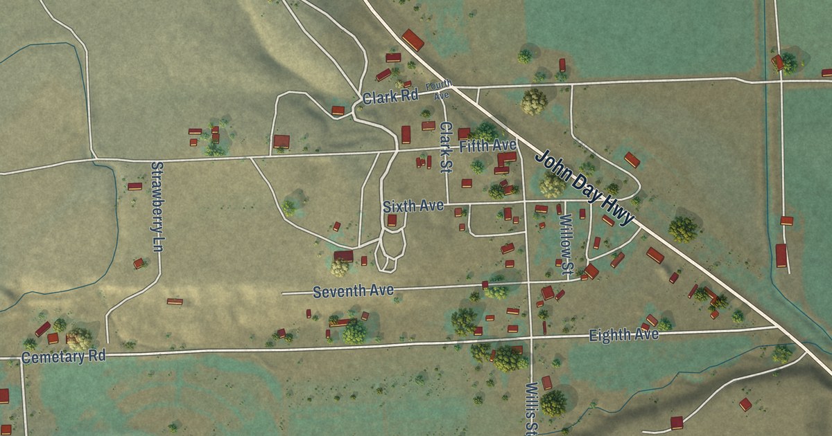
A detailed map of Brogan, Oregon, showing every building in its true location, the roads by name, and shaded topographical relief.
Read More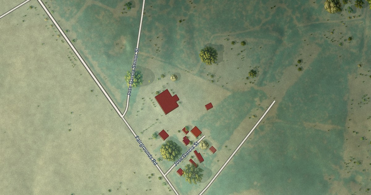
A detailed map of Fernando Salinas, Texas, showing every building in its true location, the roads by name, and shaded topographical relief.
Read More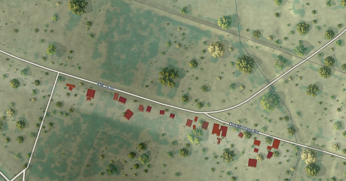
A detailed map of Garciasville, Texas, showing every building in its true location, the roads by name, and shaded topographical relief.
Read More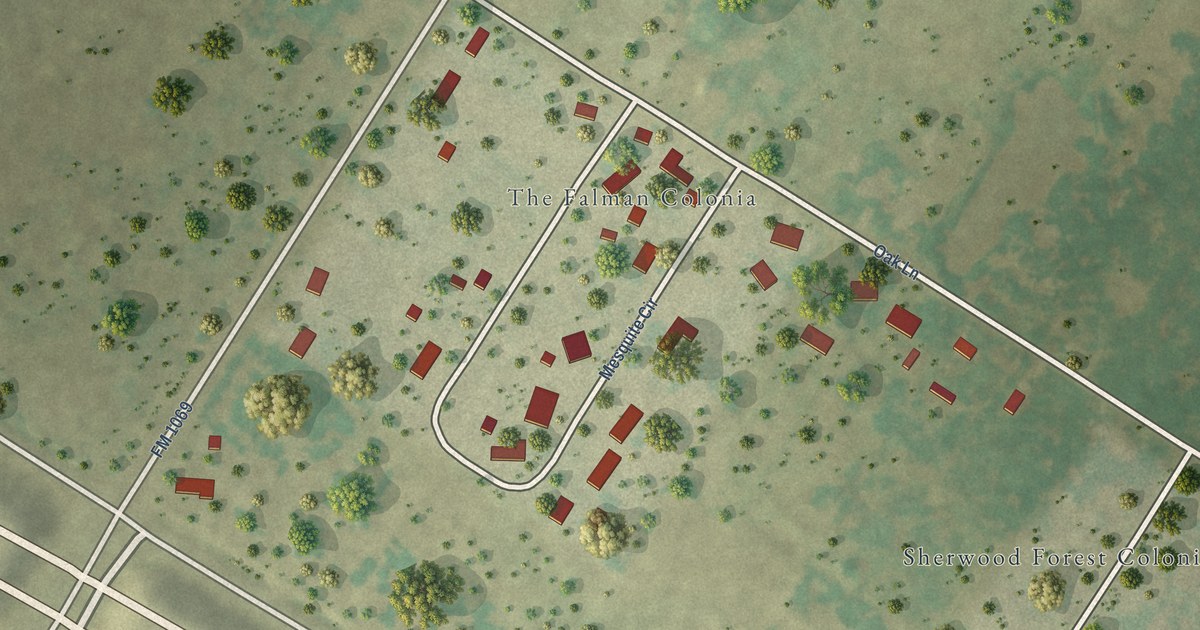
A detailed map of Falman, Texas, showing every building in its true location, the roads by name, and shaded topographical relief.
Read More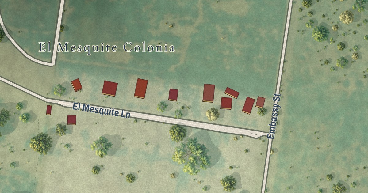
A detailed map of El Mesquite, Texas, showing every building in its true location, the roads by name, and shaded topographical relief.
Read More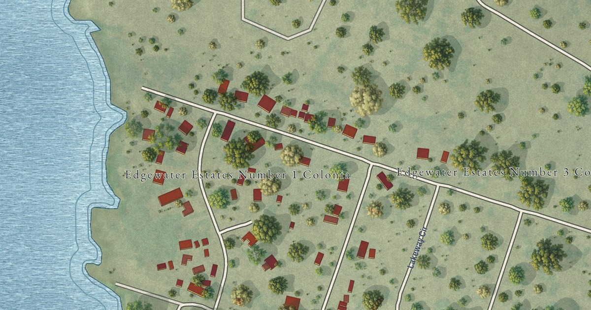
A detailed map of Edgewater Estates, Texas, showing every building in its true location, the roads by name, and shaded topographical relief.
Read More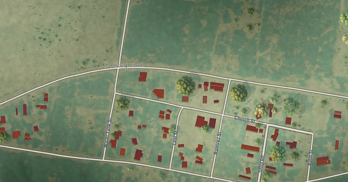
A detailed map of Concepcion, Texas, showing every building in its true location, the roads by name, and shaded topographical relief.
Read More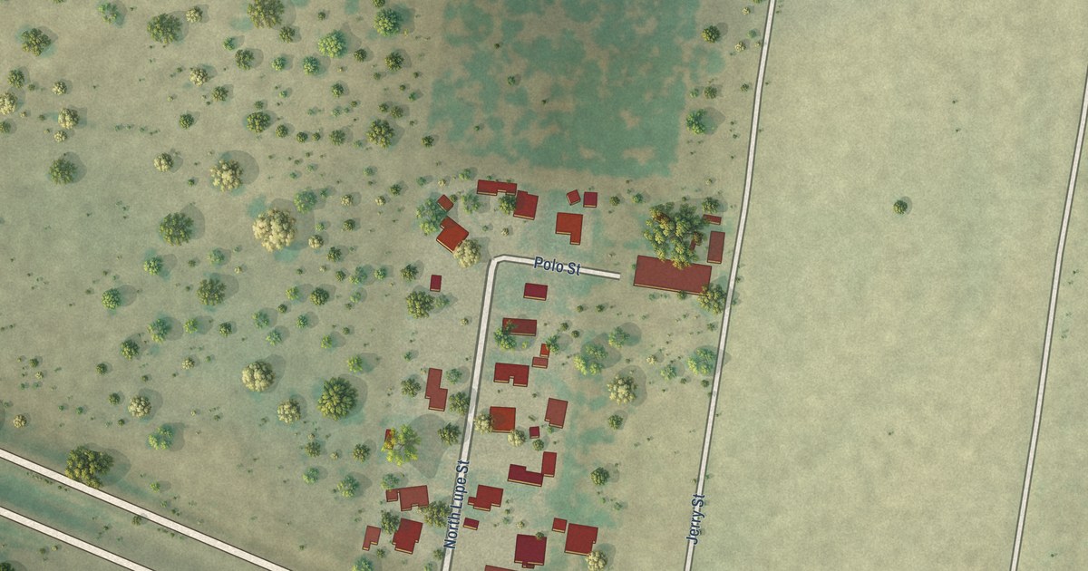
A detailed map of Casa Blanca, Texas, showing every building in its true location, the roads by name, and shaded topographical relief.
Read More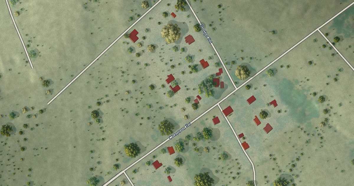
A detailed map of Chapeno, Texas, showing every building in its true location, the roads by name, and shaded topographical relief.
Read More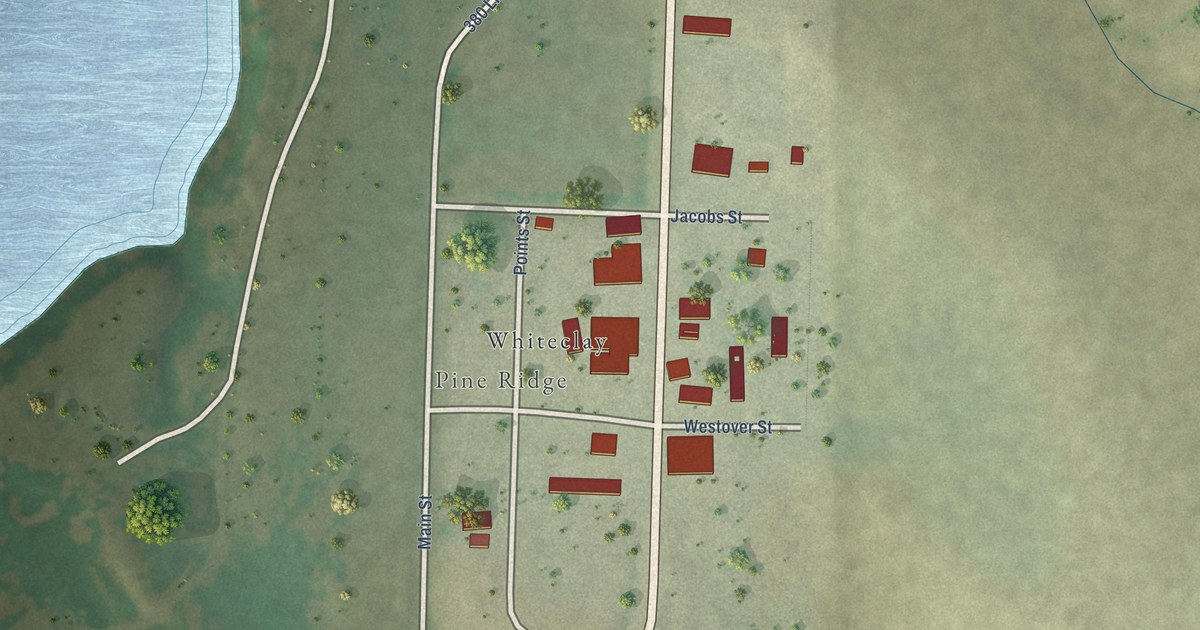
A detailed map of White Clay, Nebraska, showing every building in its true location, the roads by name, and shaded topographical relief.
Read More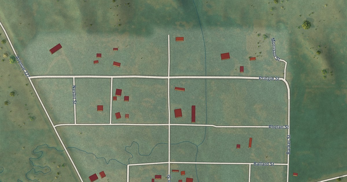
A detailed map of Parks, Nebraska, showing every building in its true location, the roads by name, and shaded topographical relief.
Read More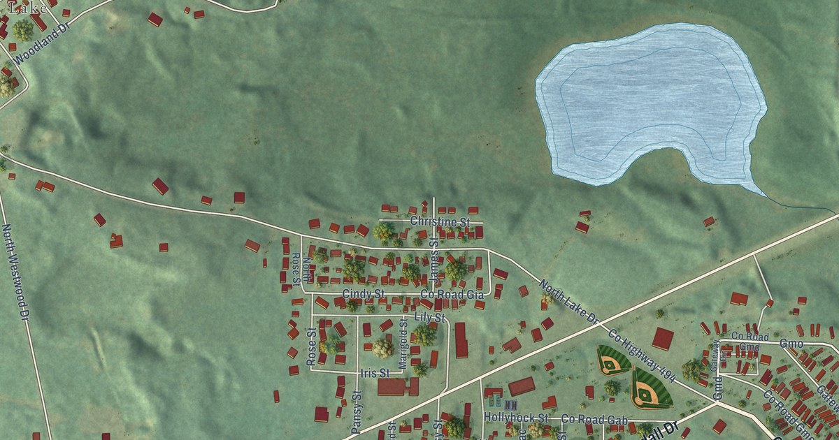
A detailed map of West Ishpeming, Michigan, showing every building in its true location, the roads by name, and shaded topographical relief.
Read More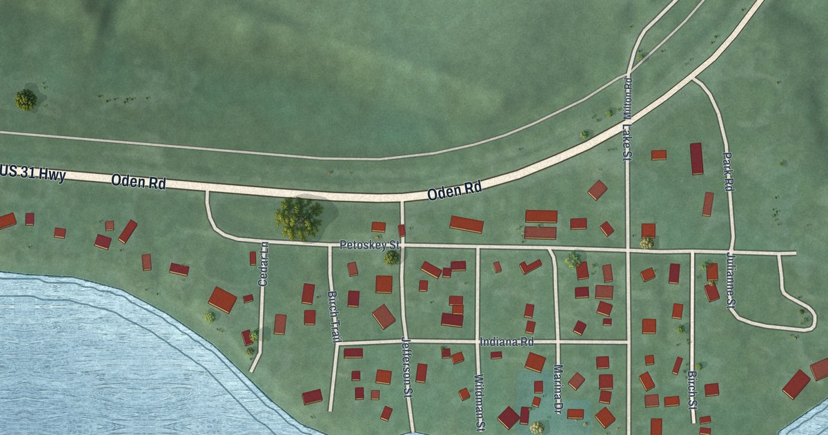
A detailed map of Ponshewaing, Michigan, showing every building in its true location, the roads by name, and shaded topographical relief.
Read More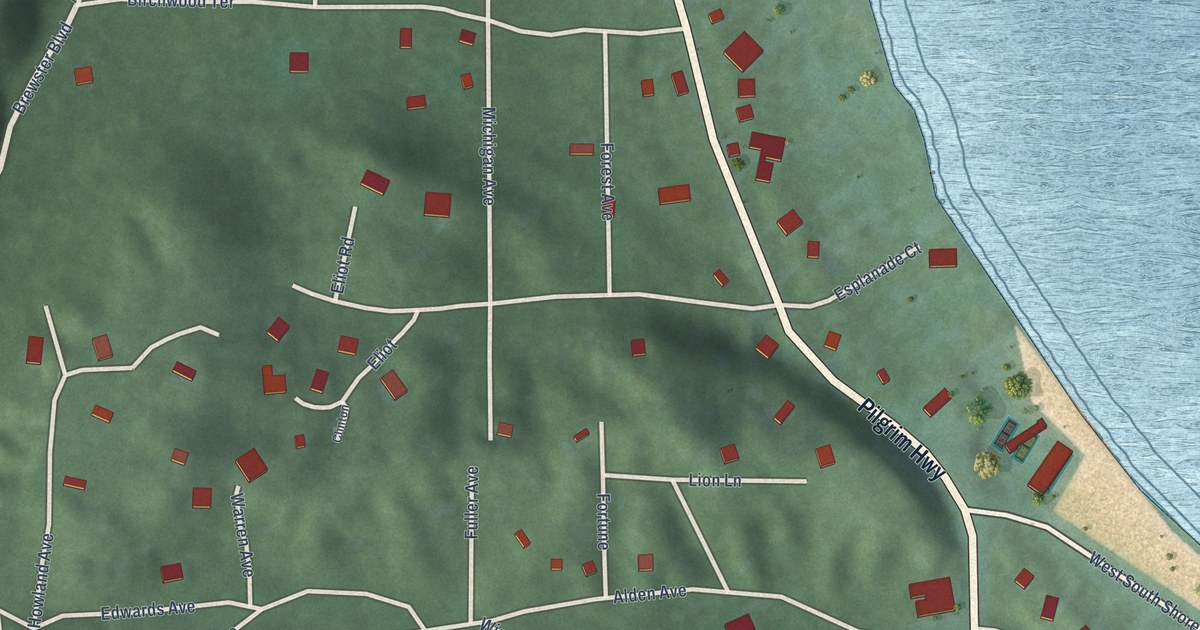
A detailed map of Pilgrim, Michigan, showing every building in its true location, the roads by name, and shaded topographical relief.
Read More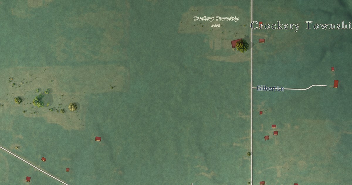
A detailed map of Nunica, Michigan, showing every building in its true location, the roads by name, and shaded topographical relief.
Read More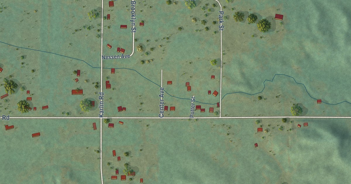
A detailed map of Nessen City, Michigan, showing every building in its true location, the roads by name, and shaded topographical relief.
Read More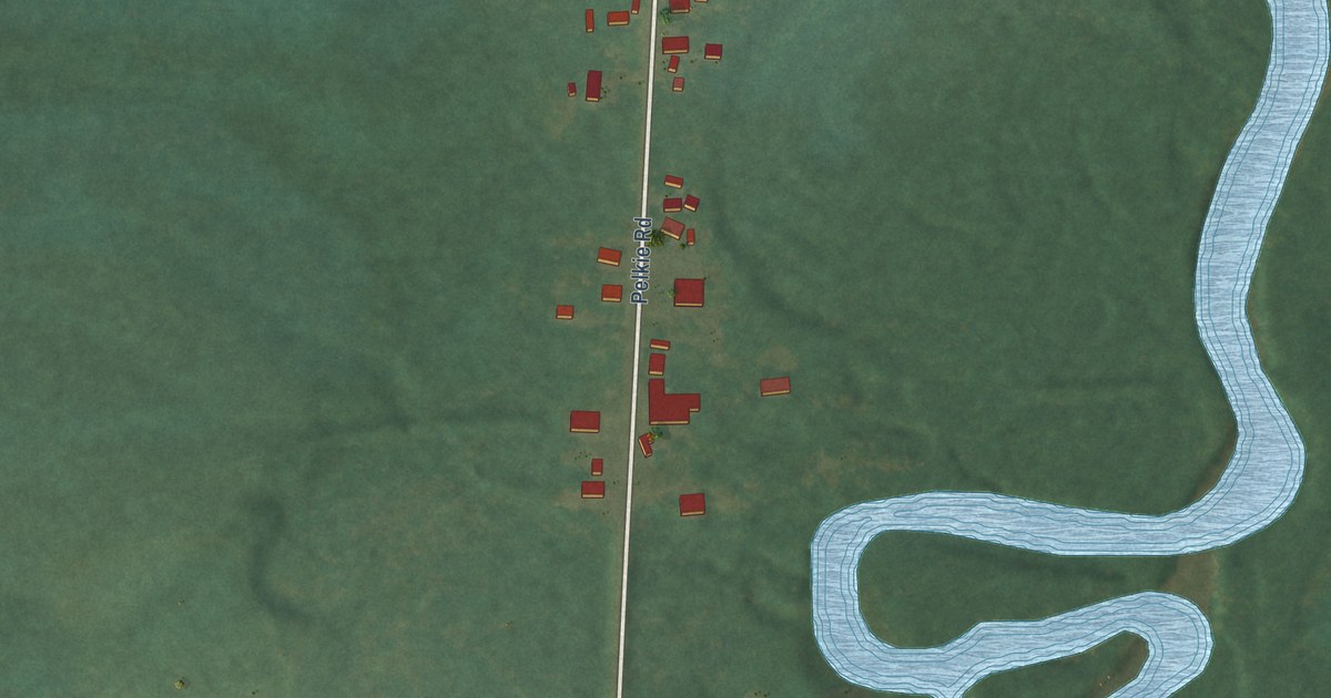
A detailed map of Pelkie, Michigan, showing every building in its true location, the roads by name, and shaded topographical relief.
Read More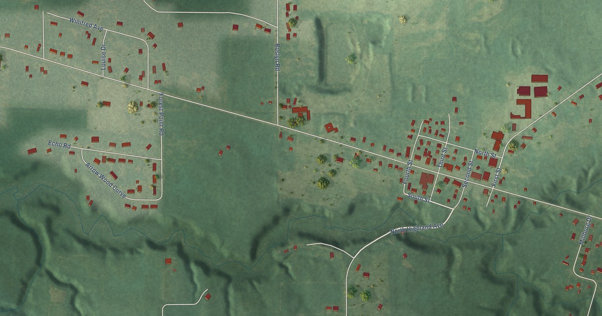
A detailed map of Millburg, Michigan, showing every building in its true location, the roads by name, and shaded topographical relief.
Read More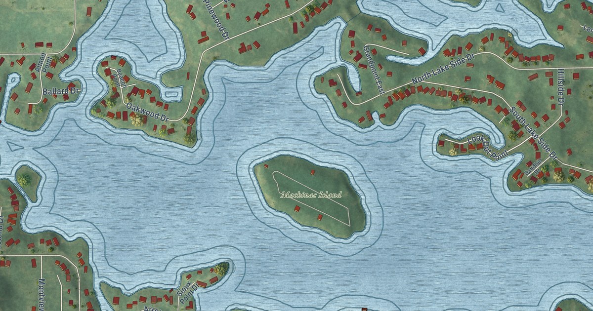
A detailed map of Lake LeAnn, Michigan, showing every building in its true location, the roads by name, and shaded topographical relief.
Read More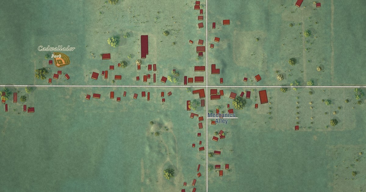
A detailed map of Hickory Corners, Michigan, showing every building in its true location, the roads by name, and shaded topographical relief.
Read More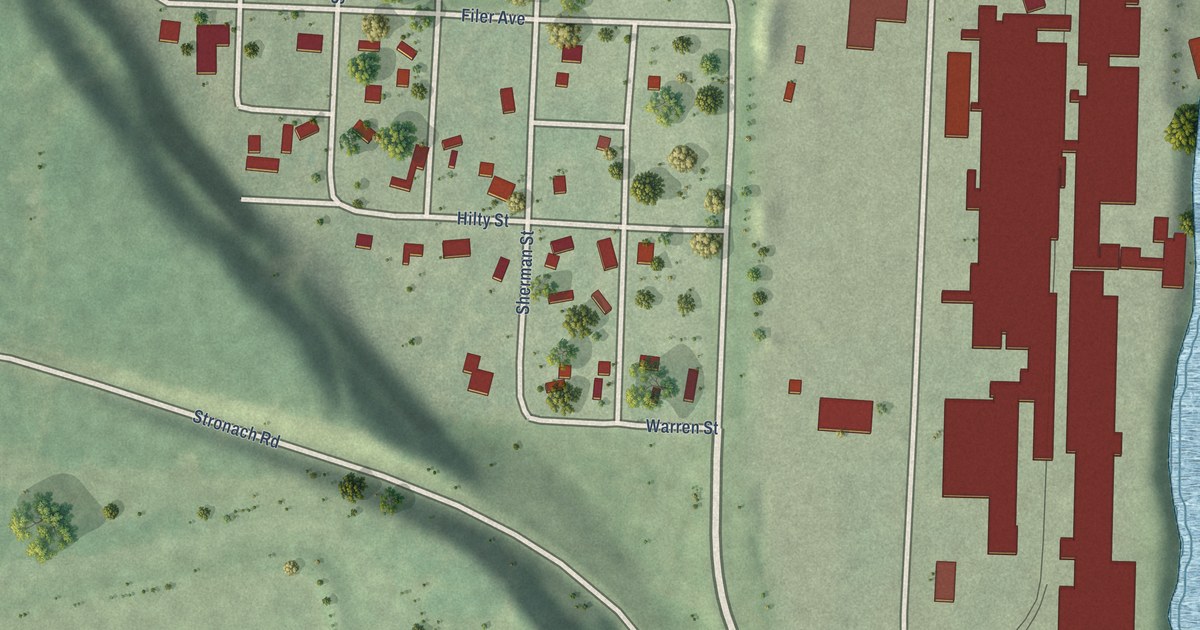
A detailed map of Filer City, Michigan, showing every building in its true location, the roads by name, and shaded topographical relief.
Read More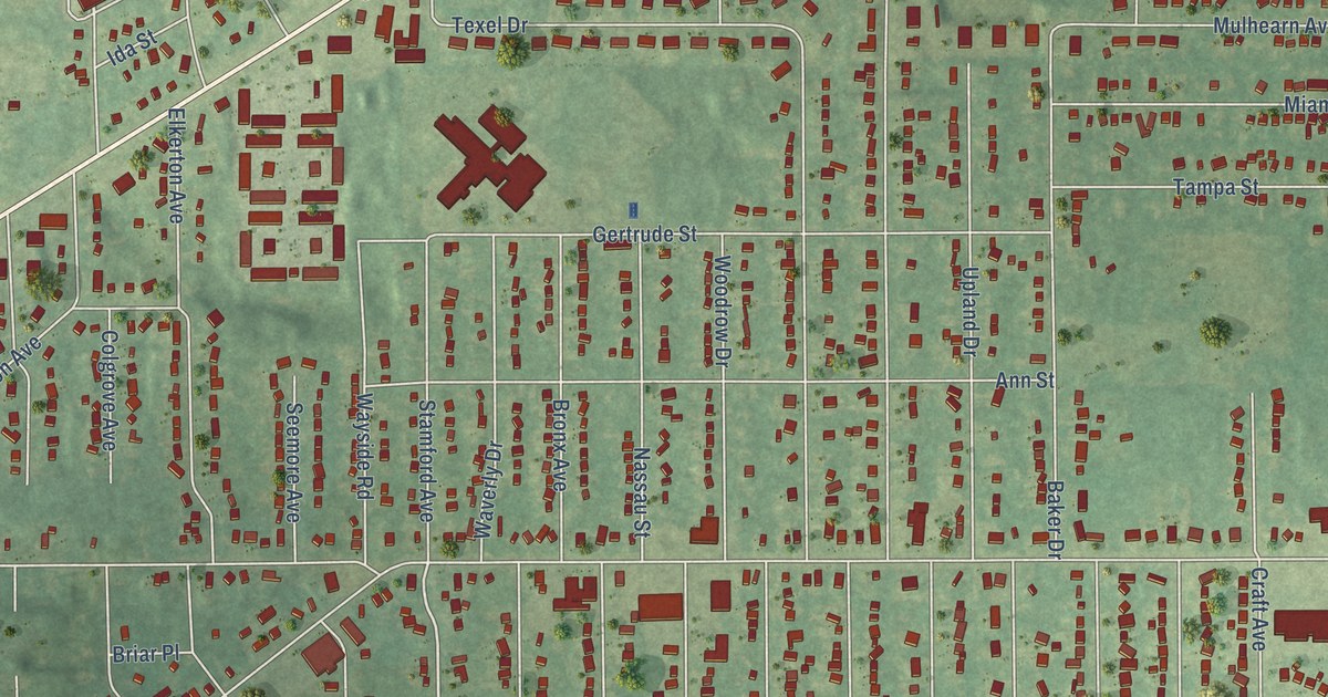
A detailed map of Eastwood, Michigan, showing every building in its true location, the roads by name, and shaded topographical relief.
Read More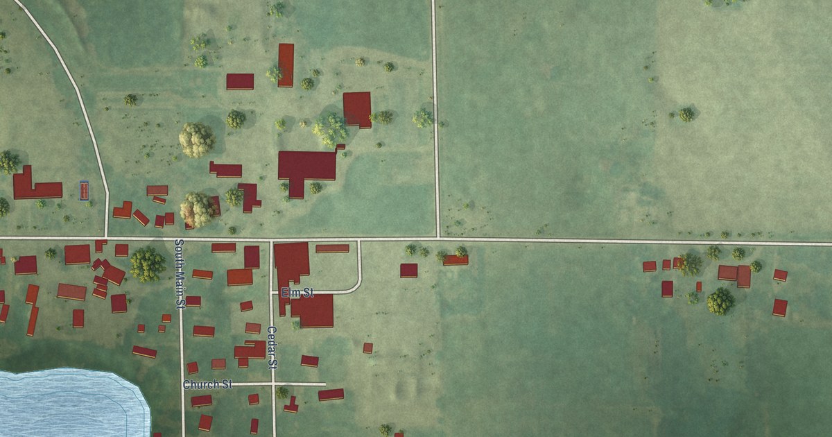
A detailed map of Falmouth, Michigan, showing every building in its true location, the roads by name, and shaded topographical relief.
Read More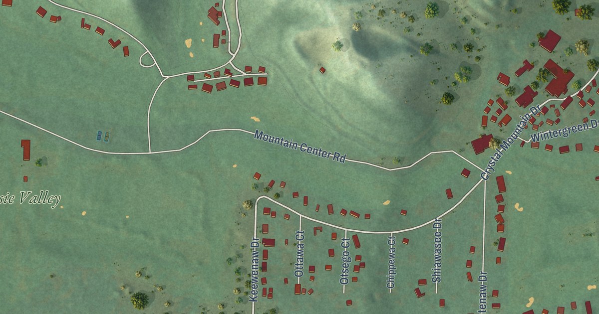
A detailed map of Crystal Mountain, Michigan, showing every building in its true location, the roads by name, and shaded topographical relief.
Read More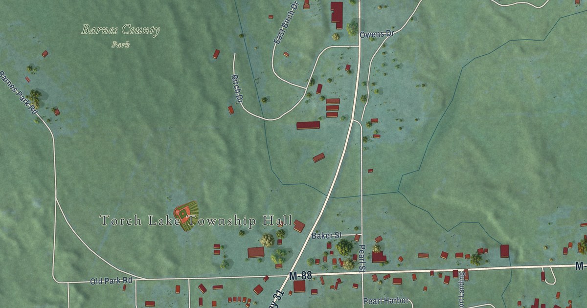
A detailed map of Eastport, Michigan, showing every building in its true location, the roads by name, and shaded topographical relief.
Read More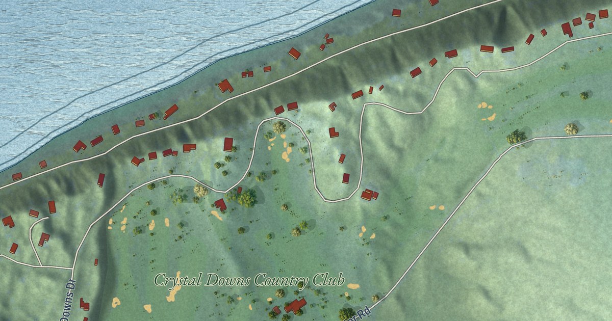
A detailed map of Crystal Downs Country Club, Michigan, showing every building in its true location, the roads by name, and shaded topographical relief.
Read More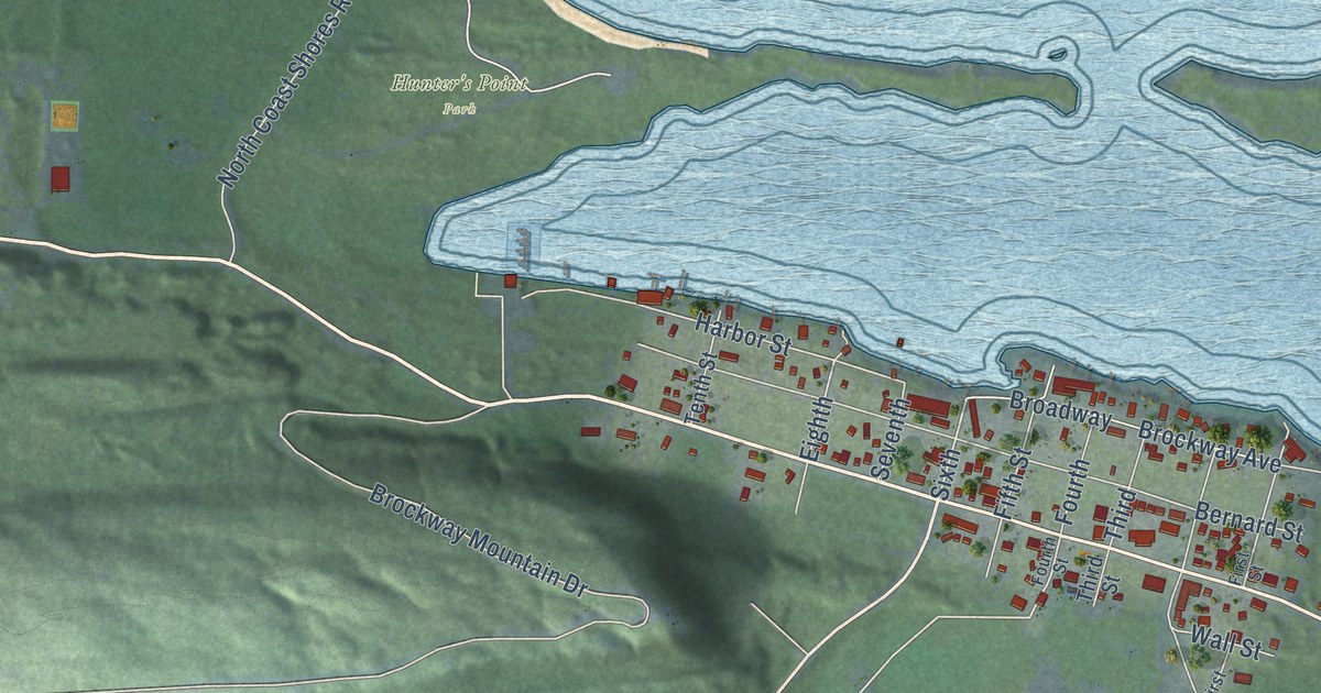
A detailed map of Copper Harbor, Michigan, showing every building in its true location, the roads by name, and shaded topographical relief.
Read More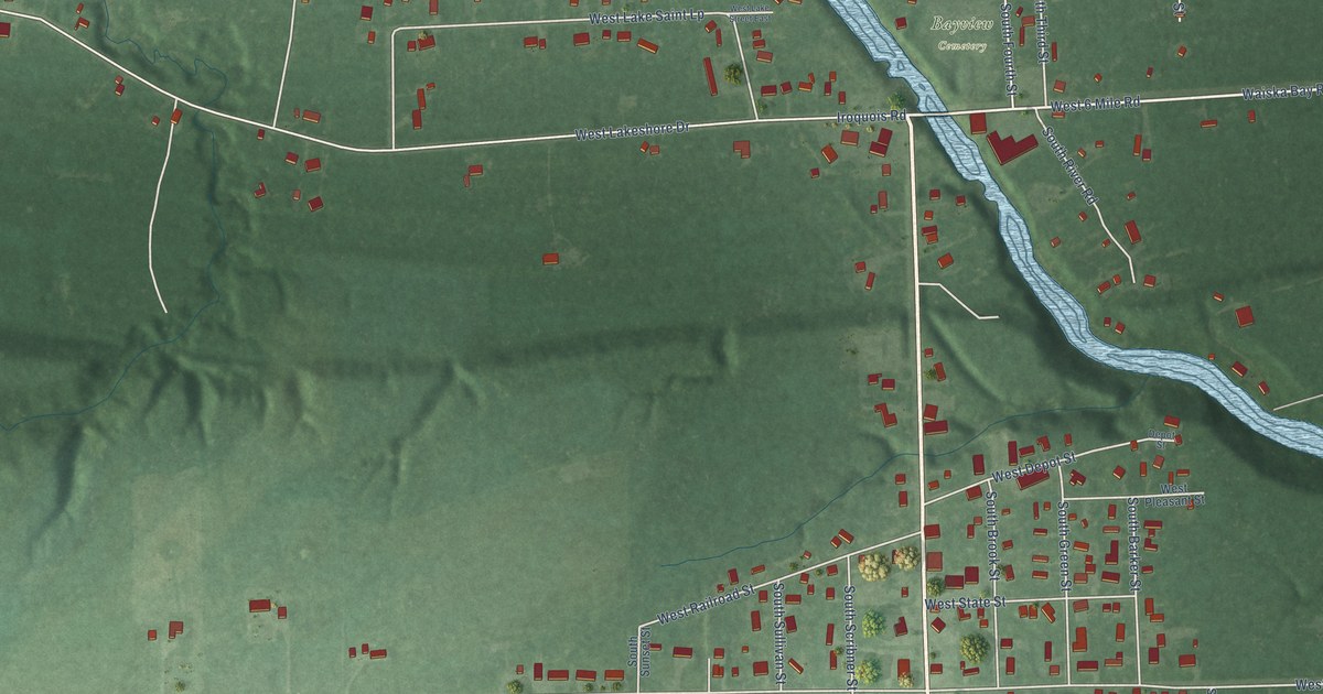
A detailed map of Brimley, Michigan, showing every building in its true location, the roads by name, and shaded topographical relief.
Read More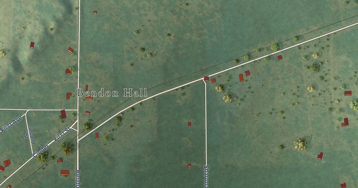
A detailed map of Bendon, Michigan, showing every building in its true location, the roads by name, and shaded topographical relief.
Read More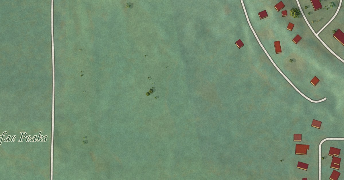
A detailed map of Caberfae, Michigan, showing every building in its true location, the roads by name, and shaded topographical relief.
Read More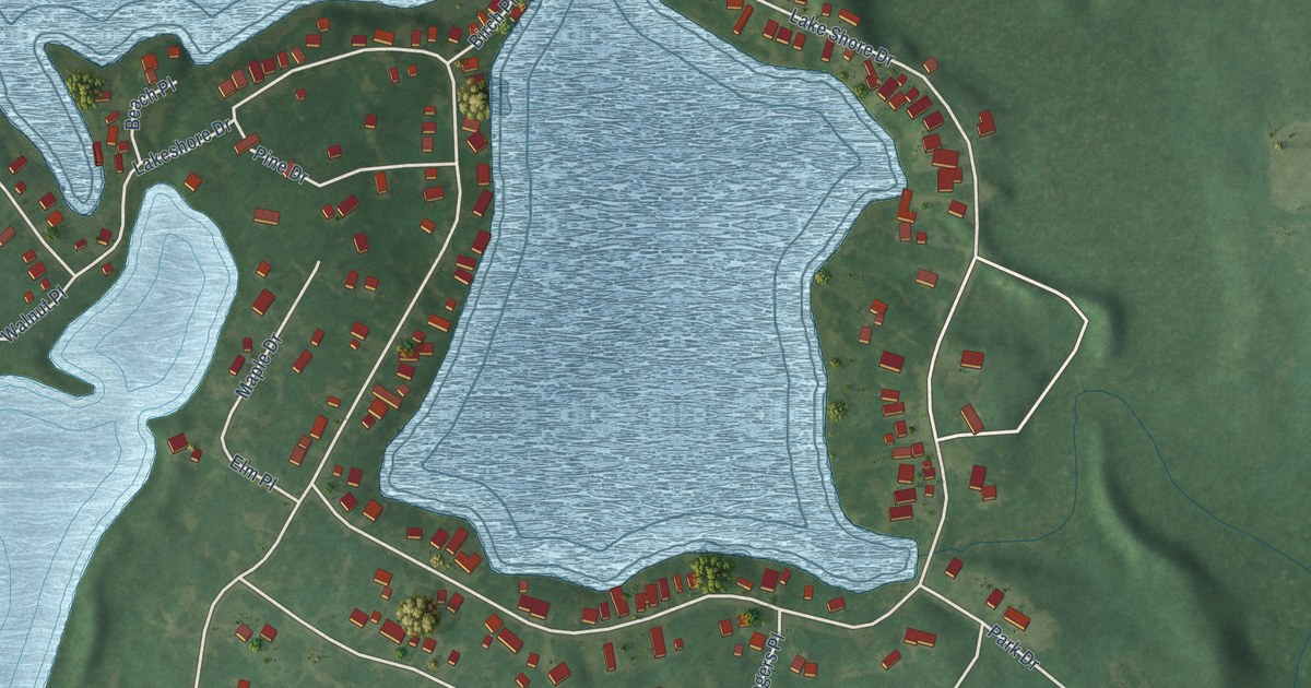
A detailed map of Barnes Lake, Michigan, showing every building in its true location, the roads by name, and shaded topographical relief.
Read More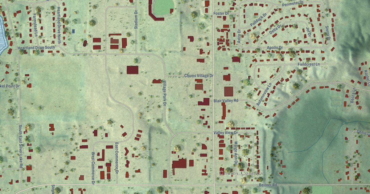
A detailed map of Chums Corner, Michigan, showing every building in its true location, the roads by name, and shaded topographical relief.
Read More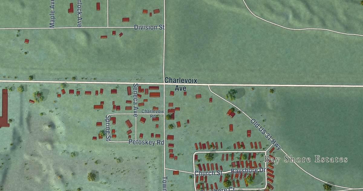
A detailed map of Bay Shore, Michigan, showing every building in its true location, the roads by name, and shaded topographical relief.
Read More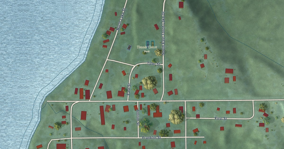
A detailed map of Alden, Michigan, showing every building in its true location, the roads by name, and shaded topographical relief.
Read More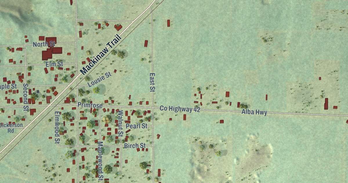
A detailed map of Alba, Michigan, showing every building in its true location, the roads by name, and shaded topographical relief.
Read More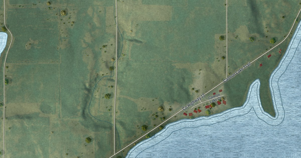
A detailed map of Warsaw, Minnesota, showing every building in its true location, the roads by name, and shaded topographical relief.
Read More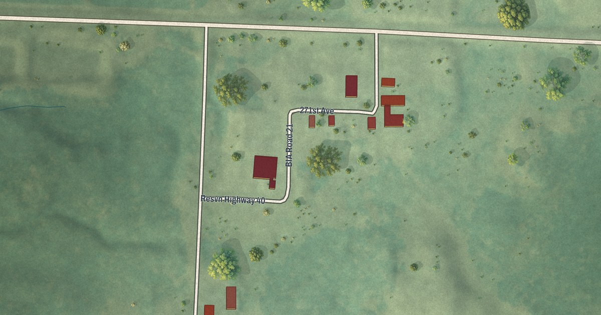
A detailed map of The Ranch, Minnesota, showing every building in its true location, the roads by name, and shaded topographical relief.
Read More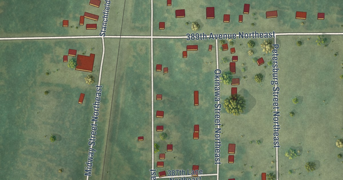
A detailed map of Stanchfield, Minnesota, showing every building in its true location, the roads by name, and shaded topographical relief.
Read More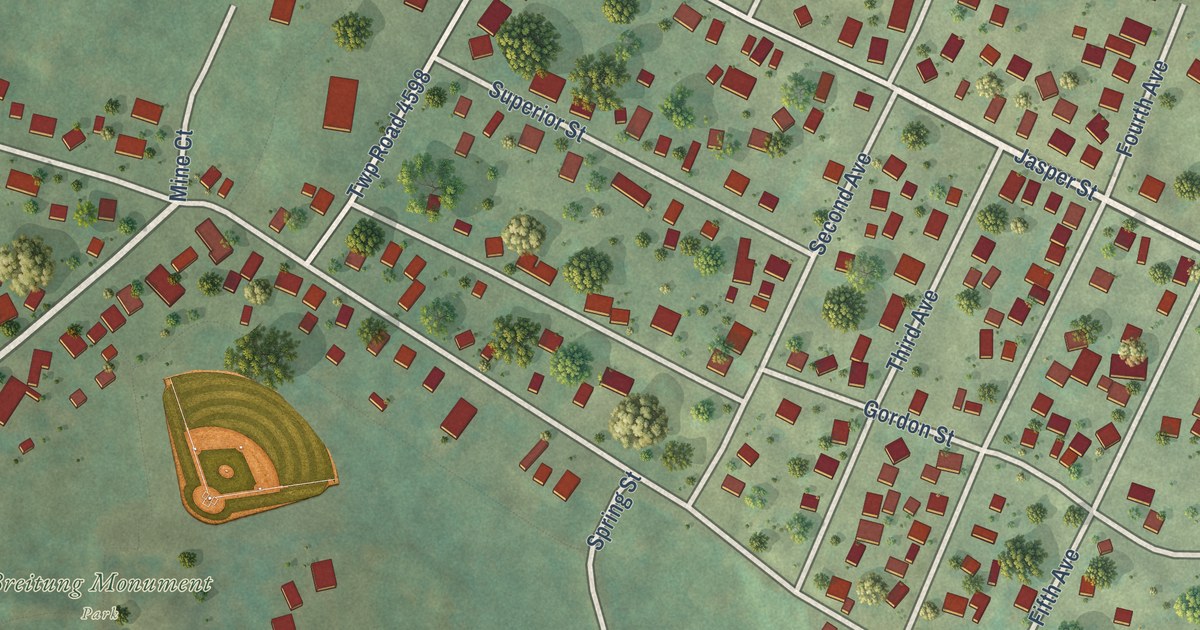
A detailed map of Soudan, Minnesota, showing every building in its true location, the roads by name, and shaded topographical relief.
Read More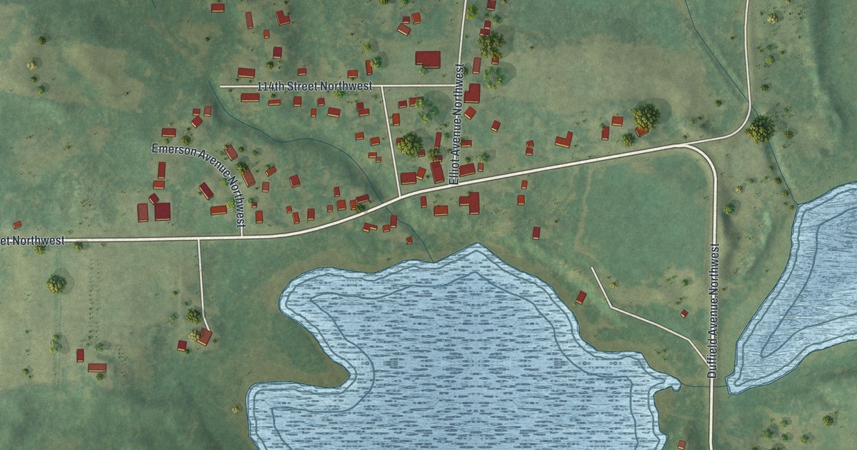
A detailed map of Silver Creek, Minnesota, showing every building in its true location, the roads by name, and shaded topographical relief.
Read More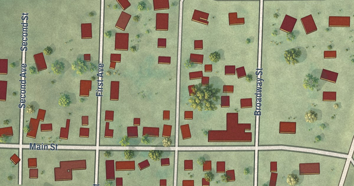
A detailed map of Searles, Minnesota, showing every building in its true location, the roads by name, and shaded topographical relief.
Read More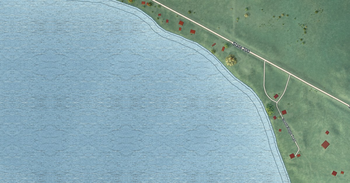
A detailed map of Roy Lake, Minnesota, showing every building in its true location, the roads by name, and shaded topographical relief.
Read More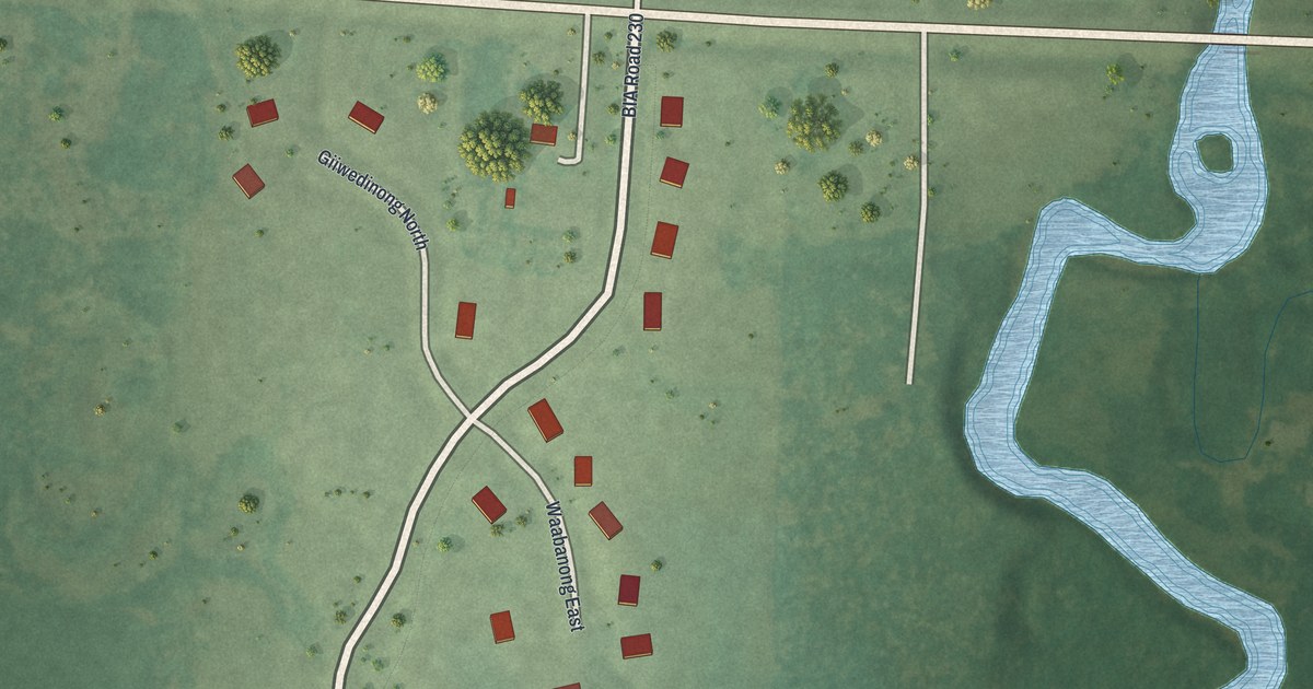
A detailed map of Riverland, Minnesota, showing every building in its true location, the roads by name, and shaded topographical relief.
Read More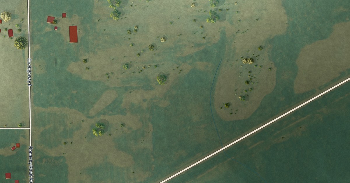
A detailed map of Ronneby, Minnesota, showing every building in its true location, the roads by name, and shaded topographical relief.
Read More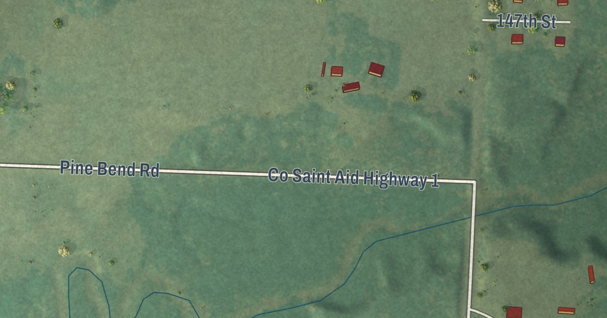
A detailed map of Pine Bend, Minnesota, showing every building in its true location, the roads by name, and shaded topographical relief.
Read More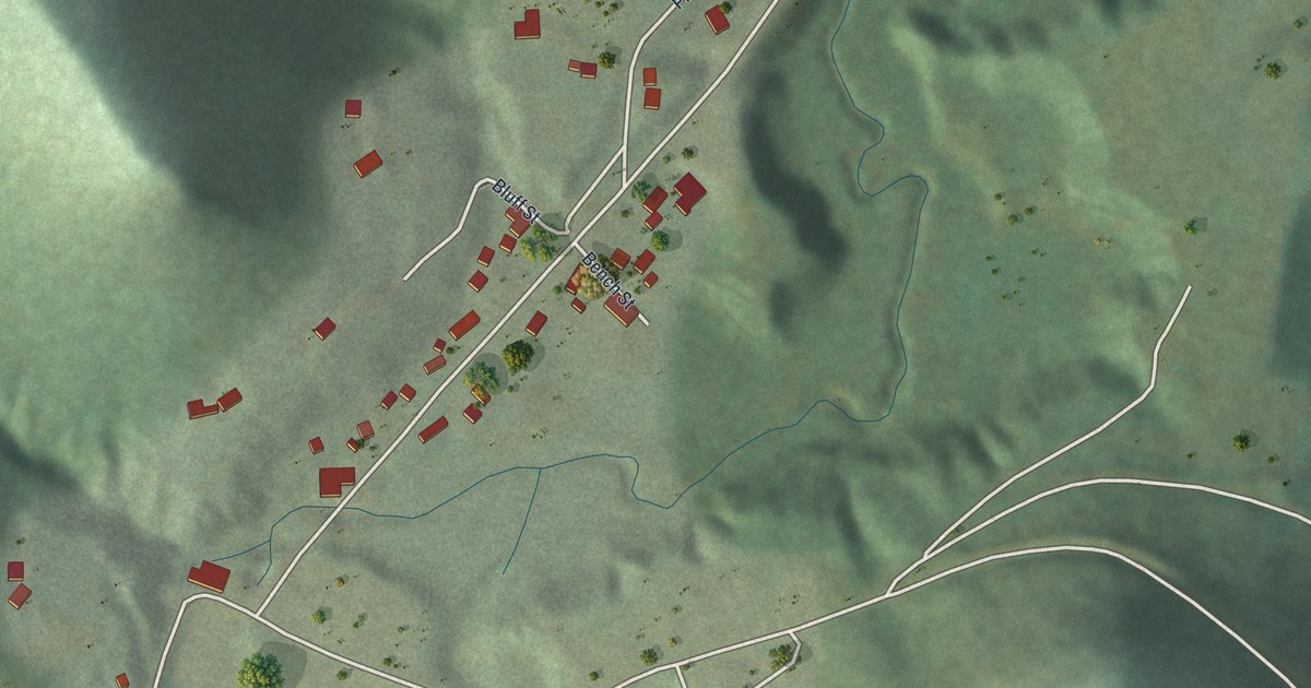
A detailed map of Pickwick, Minnesota, showing every building in its true location, the roads by name, and shaded topographical relief.
Read More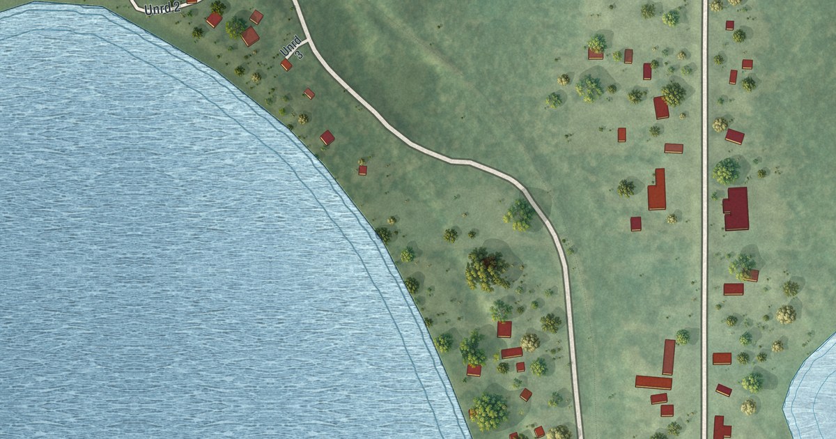
A detailed map of Merrifield, Minnesota, showing every building in its true location, the roads by name, and shaded topographical relief.
Read More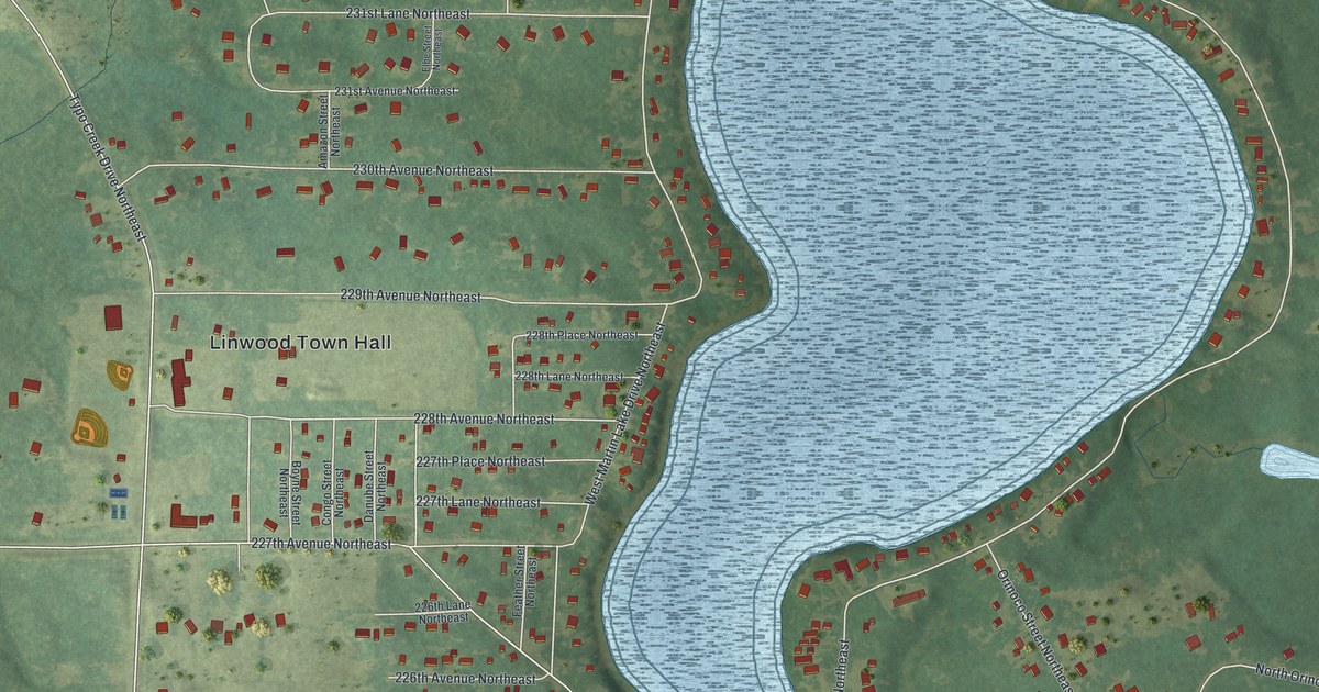
A detailed map of Martin Lake, Minnesota, showing every building in its true location, the roads by name, and shaded topographical relief.
Read More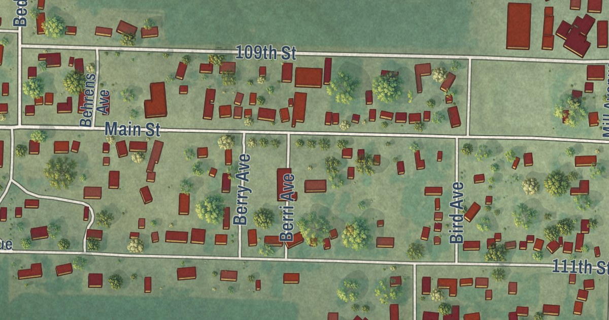
A detailed map of Leota, Minnesota, showing every building in its true location, the roads by name, and shaded topographical relief.
Read More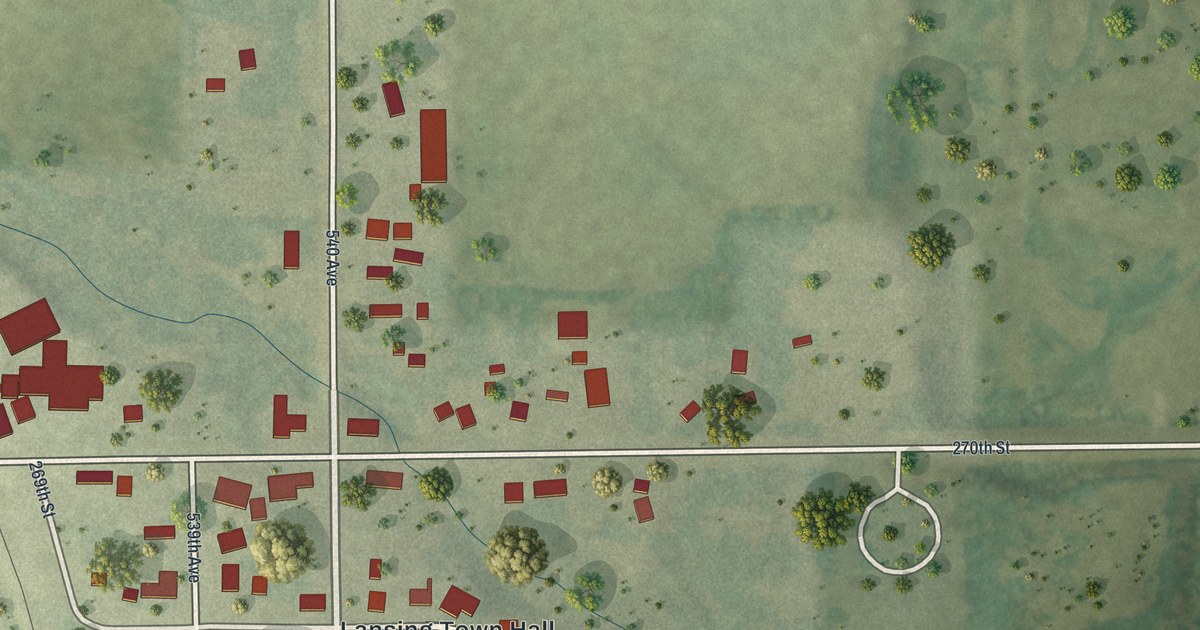
A detailed map of Lansing, Minnesota, showing every building in its true location, the roads by name, and shaded topographical relief.
Read More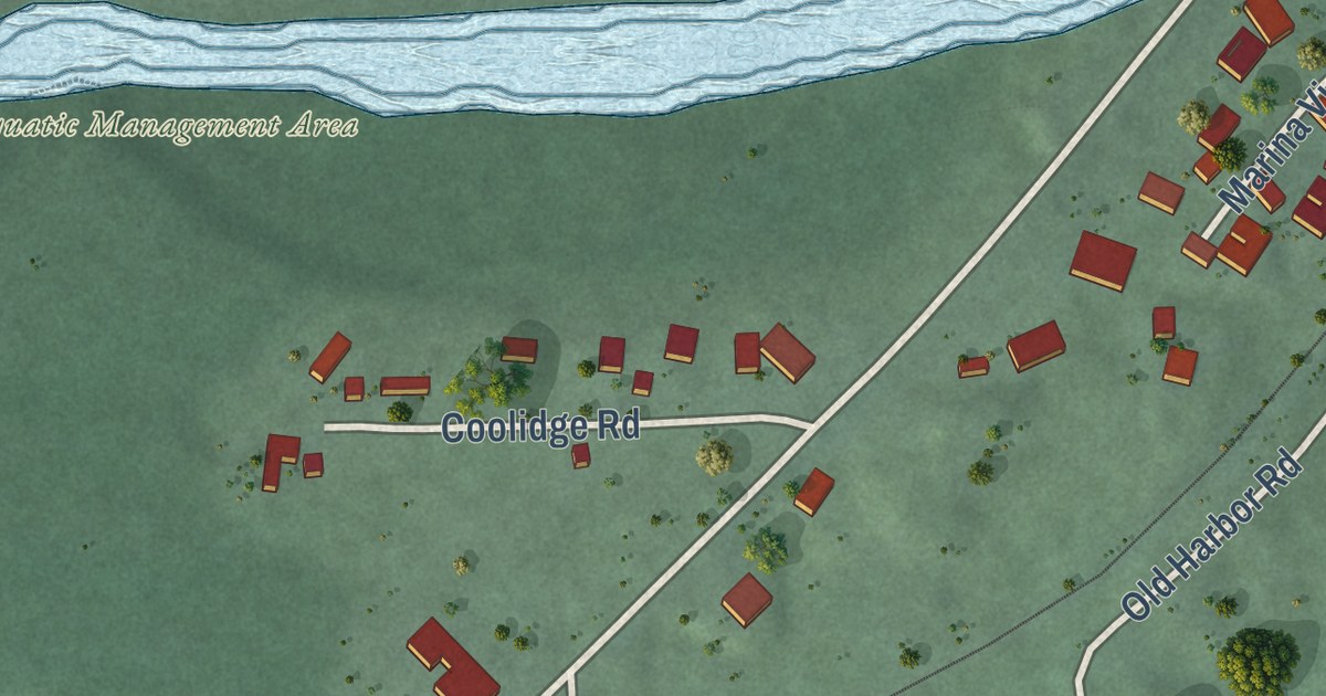
A detailed map of Knife River, Minnesota, showing every building in its true location, the roads by name, and shaded topographical relief.
Read More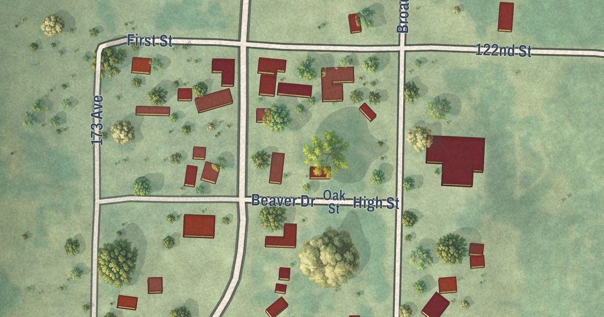
A detailed map of Hubbard, Minnesota, showing every building in its true location, the roads by name, and shaded topographical relief.
Read More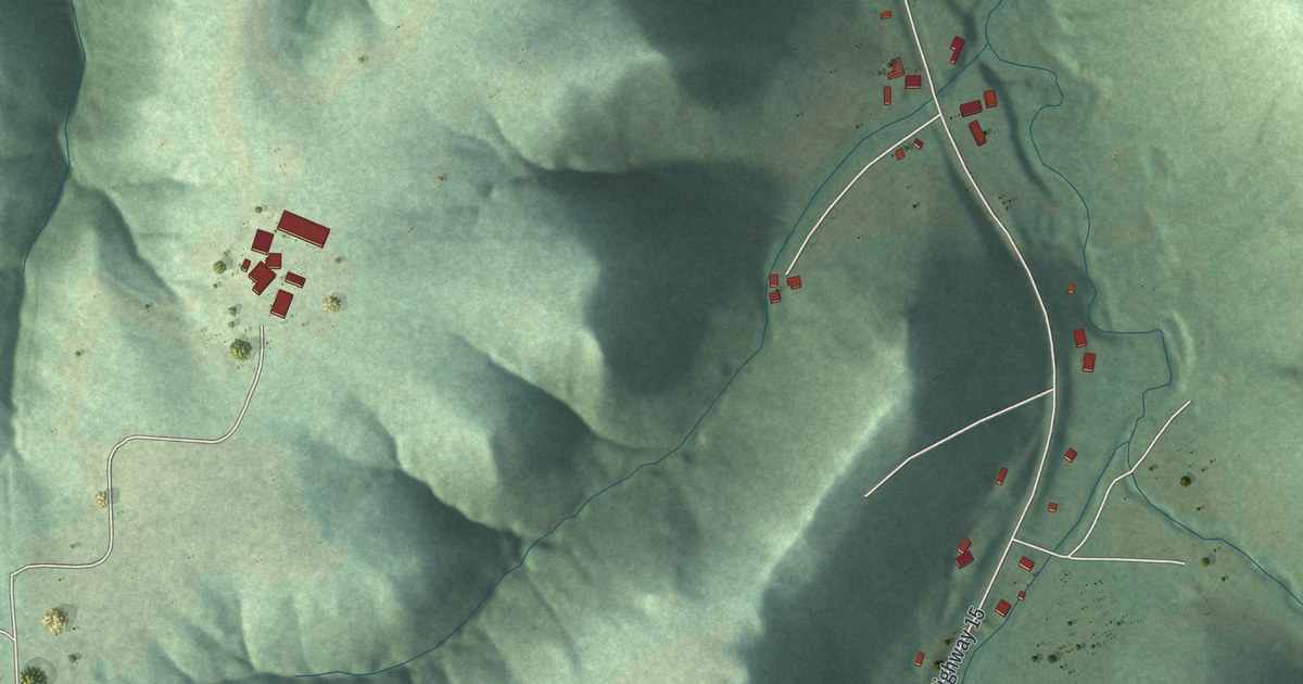
A detailed map of Homer, Minnesota, showing every building in its true location, the roads by name, and shaded topographical relief.
Read More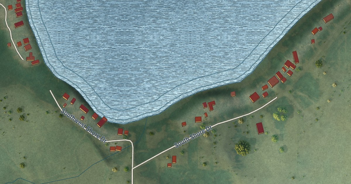
A detailed map of Fish Lake, Minnesota, showing every building in its true location, the roads by name, and shaded topographical relief.
Read More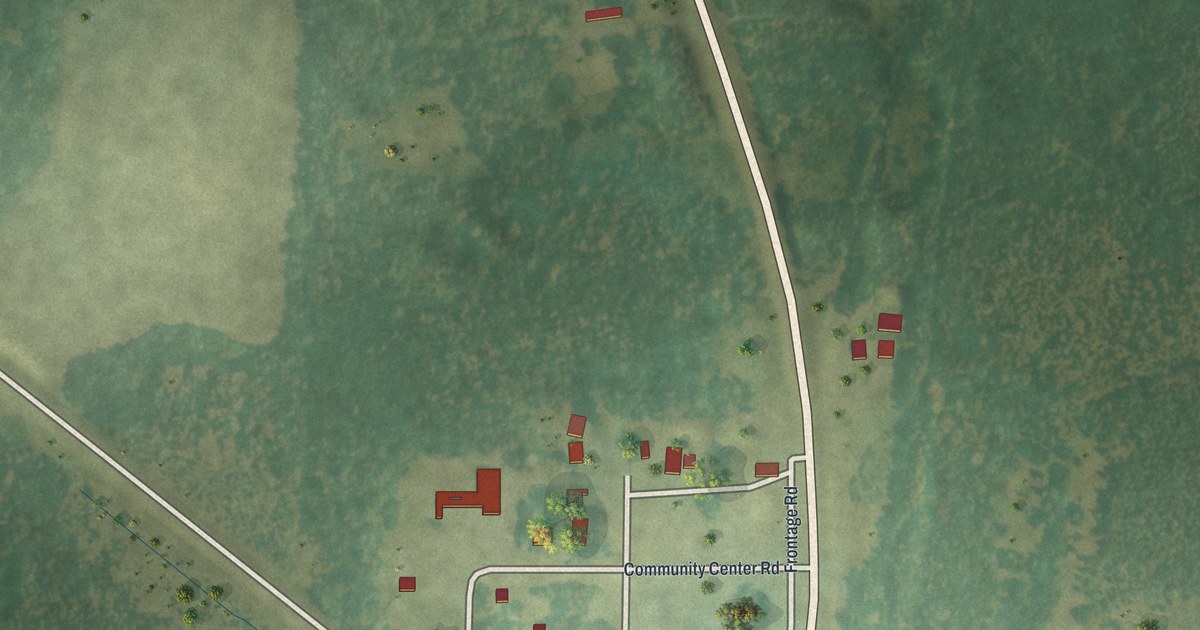
A detailed map of Goodland, Minnesota, showing every building in its true location, the roads by name, and shaded topographical relief.
Read More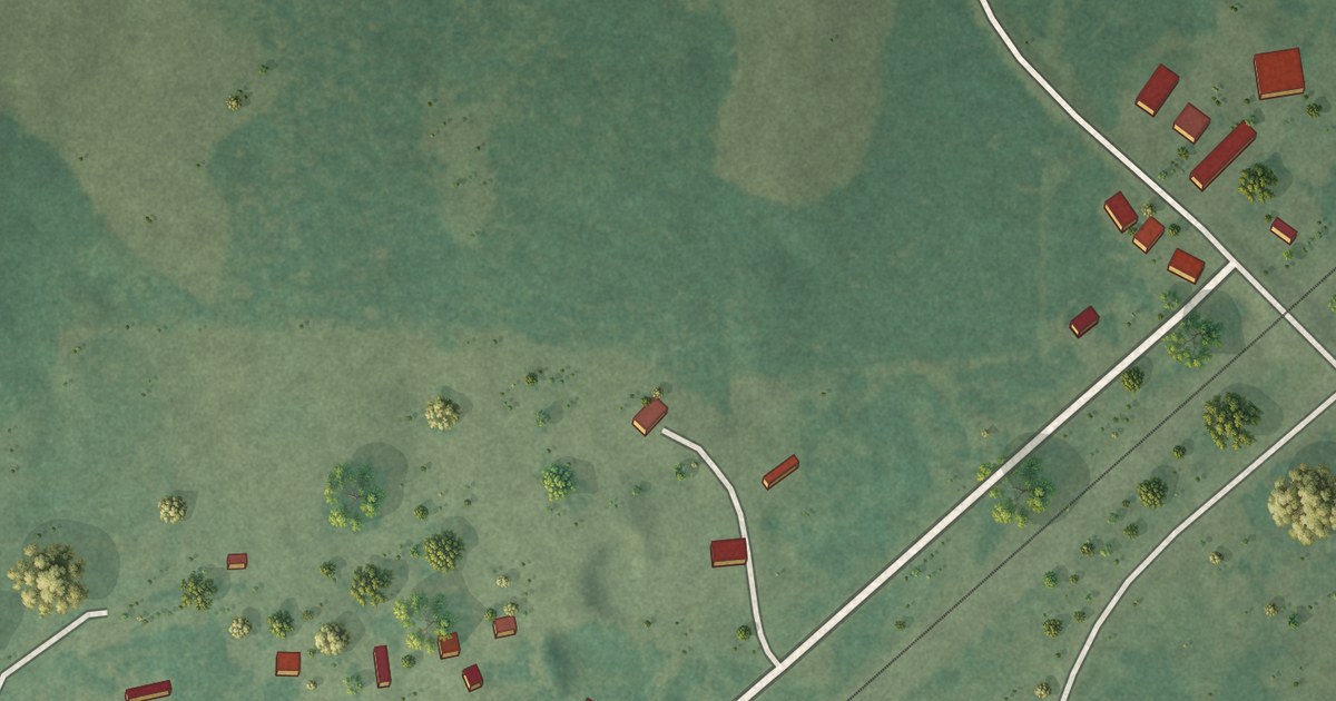
A detailed map of Ebro, Minnesota, showing every building in its true location, the roads by name, and shaded topographical relief.
Read More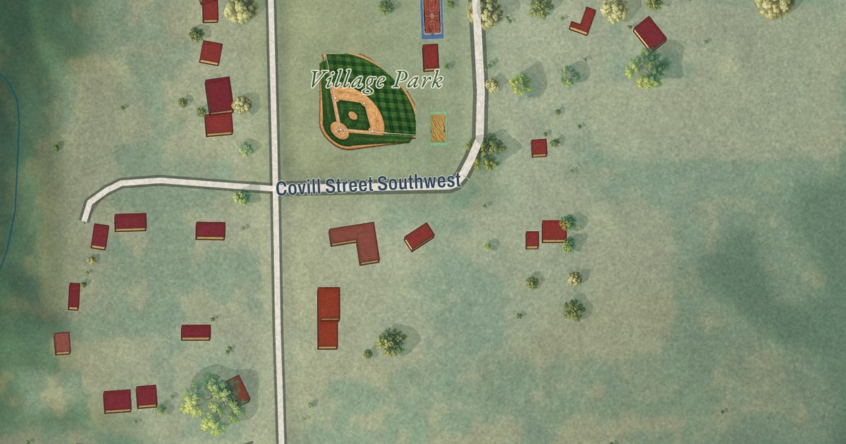
A detailed map of High Forest, Minnesota, showing every building in its true location, the roads by name, and shaded topographical relief.
Read More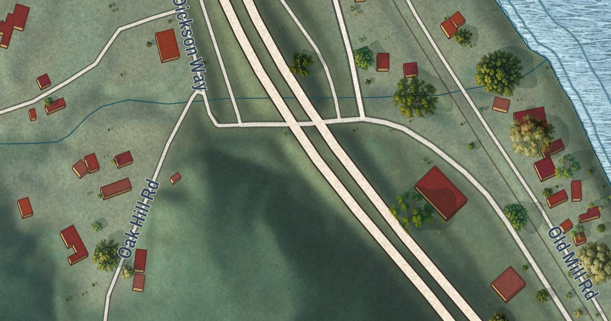
A detailed map of Dresbach, Minnesota, showing every building in its true location, the roads by name, and shaded topographical relief.
Read More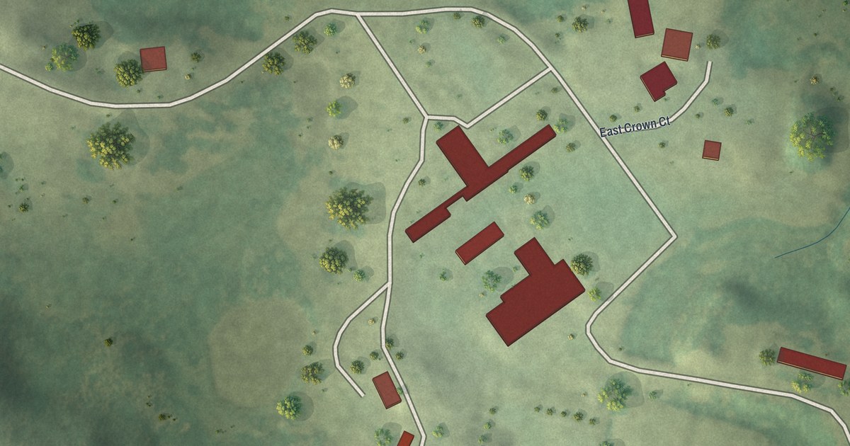
A detailed map of Crown College, Minnesota, showing every building in its true location, the roads by name, and shaded topographical relief.
Read More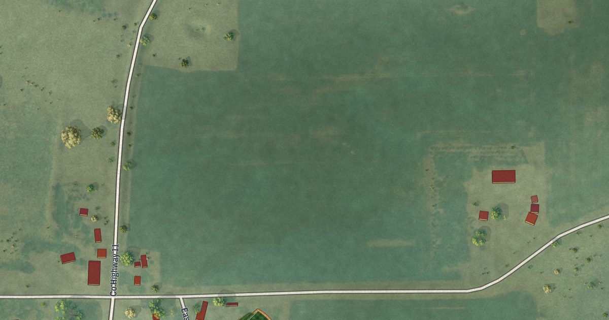
A detailed map of Essig, Minnesota, showing every building in its true location, the roads by name, and shaded topographical relief.
Read More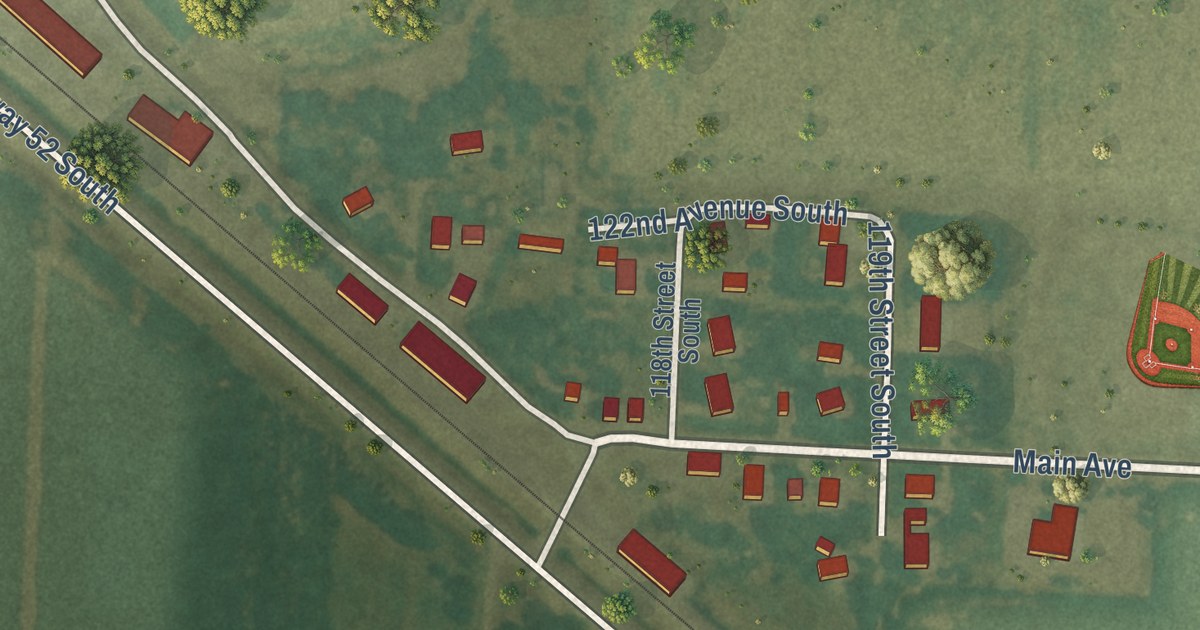
A detailed map of Baker, Minnesota, showing every building in its true location, the roads by name, and shaded topographical relief.
Read More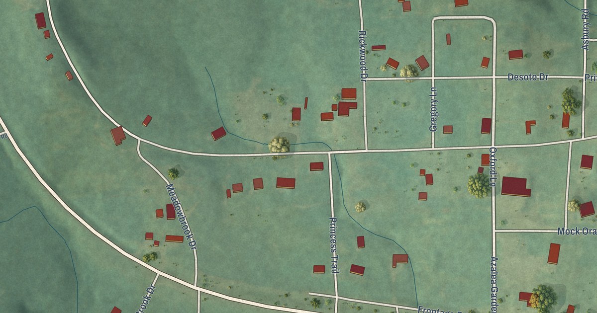
A detailed map of Whatley, Alabama, showing every building in its true location, the roads by name, and shaded topographical relief.
Read More















