Detailed Map of Naples Park, Florida
A detailed map of Naples Park, Florida, showing every building in its true location, the roads by name, and shaded topographical relief.
Read More
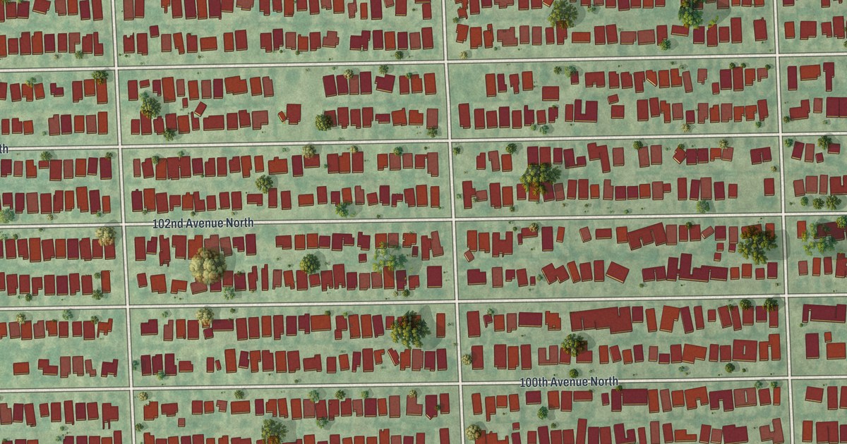
A detailed map of Naples Park, Florida, showing every building in its true location, the roads by name, and shaded topographical relief.
Read More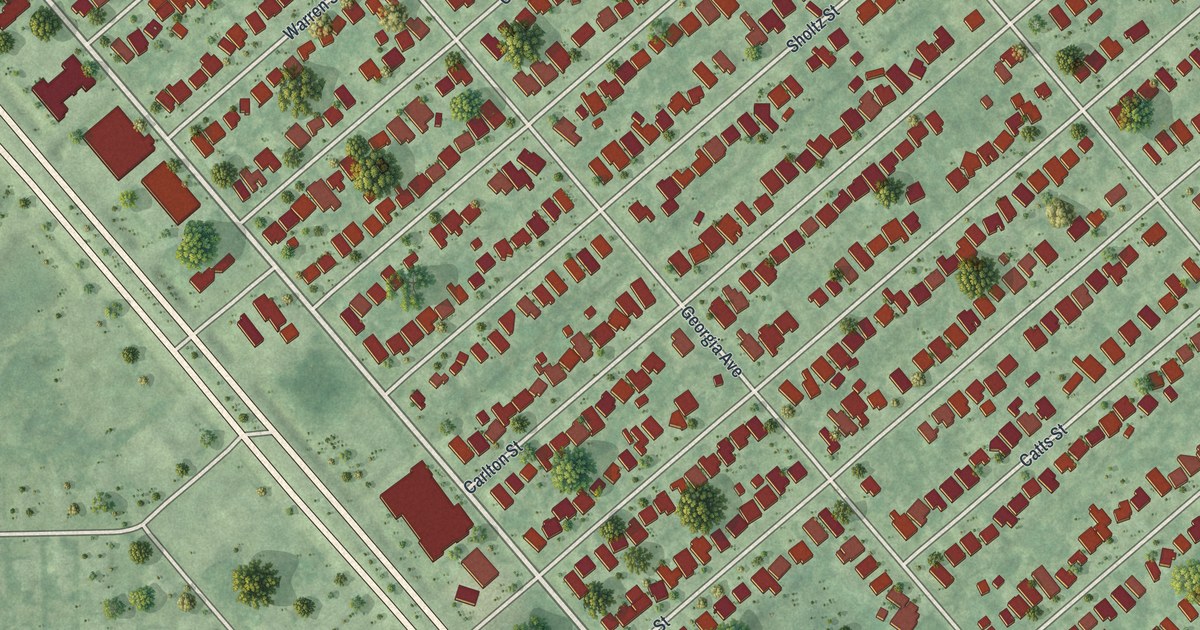
A detailed map of Naples Manor, Florida, showing every building in its true location, the roads by name, and shaded topographical relief.
Read More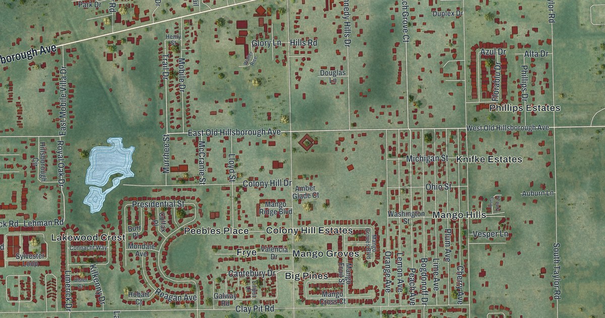
A detailed map of Mango, Florida, showing every building in its true location, the roads by name, and shaded topographical relief.
Read More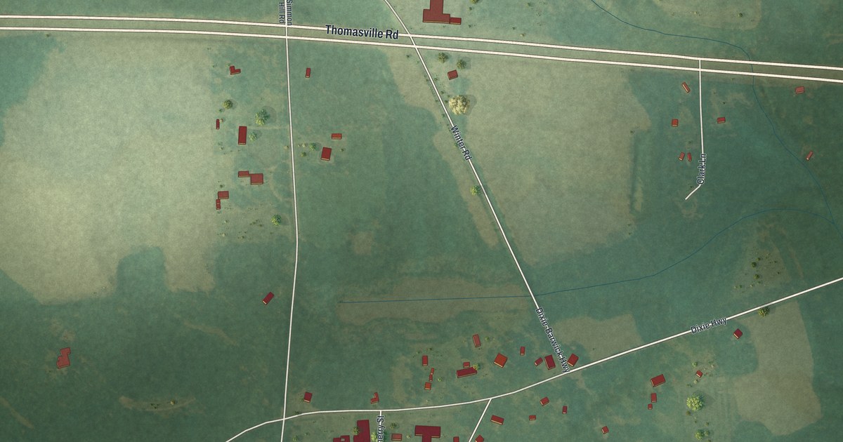
A detailed map of Dixie, Georgia, showing every building in its true location, the roads by name, and shaded topographical relief.
Read More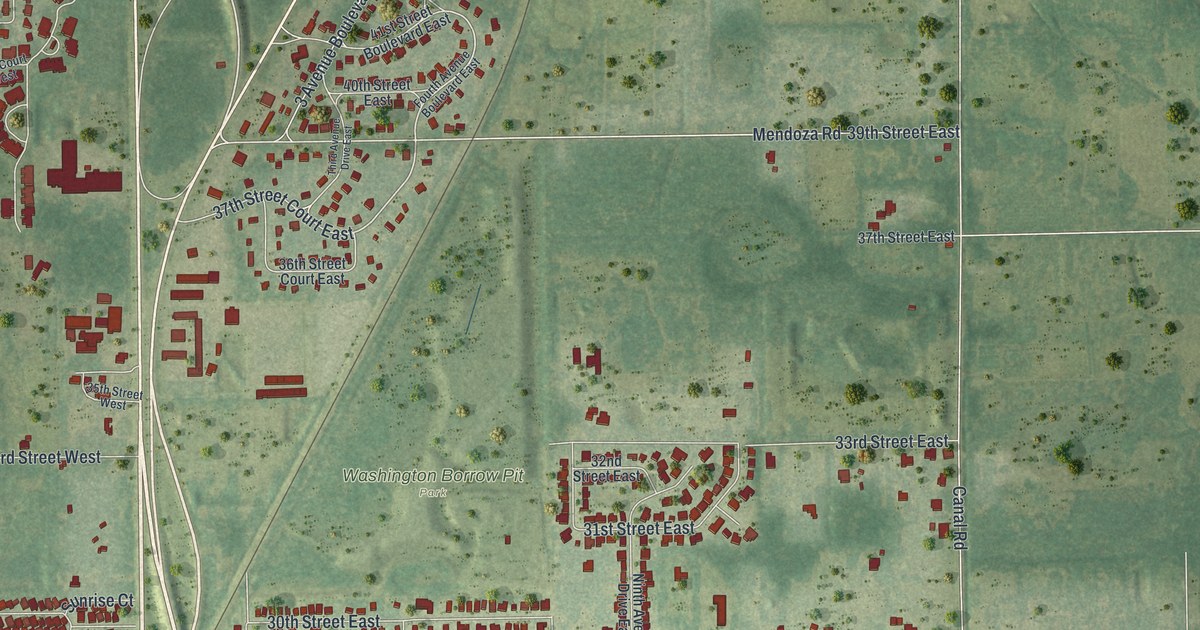
A detailed map of Memphis, Florida, showing every building in its true location, the roads by name, and shaded topographical relief.
Read More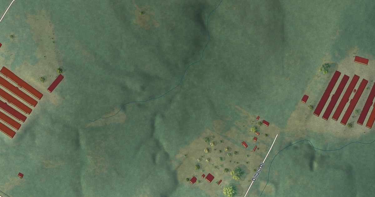
A detailed map of Dewy Rose, Georgia, showing every building in its true location, the roads by name, and shaded topographical relief.
Read More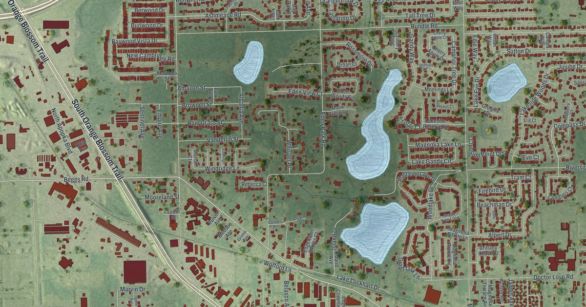
A detailed map of Lockhart, Florida, showing every building in its true location, the roads by name, and shaded topographical relief.
Read More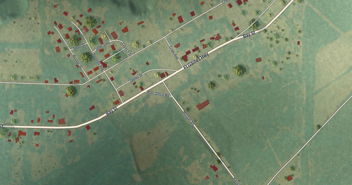
A detailed map of Coleman, Georgia, showing every building in its true location, the roads by name, and shaded topographical relief.
Read More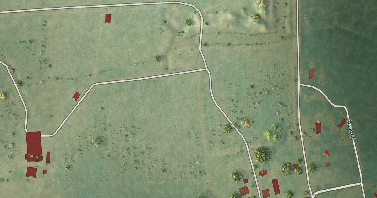
A detailed map of Cogdell, Georgia, showing every building in its true location, the roads by name, and shaded topographical relief.
Read More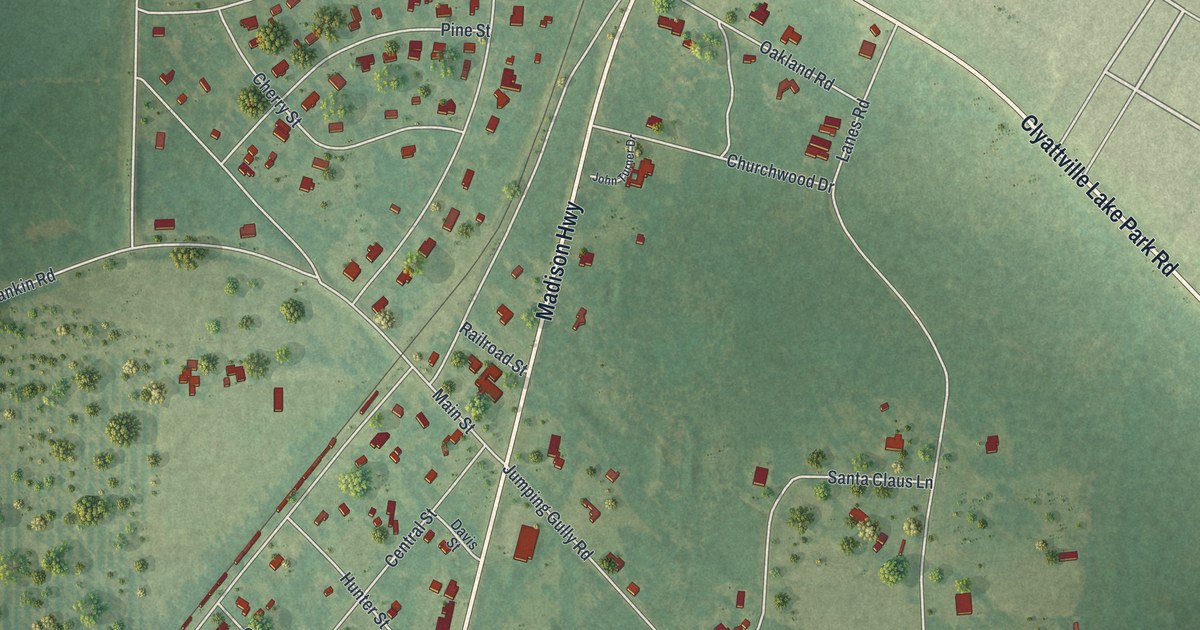
A detailed map of Clyattville, Georgia, showing every building in its true location, the roads by name, and shaded topographical relief.
Read More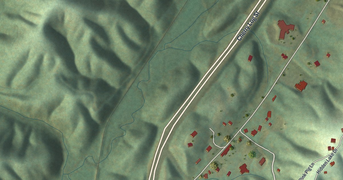
A detailed map of Cherry Log, Georgia, showing every building in its true location, the roads by name, and shaded topographical relief.
Read More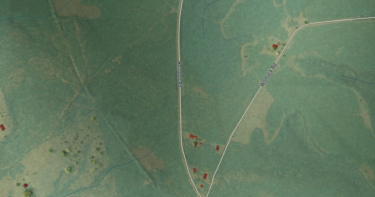
A detailed map of Canoochee, Georgia, showing every building in its true location, the roads by name, and shaded topographical relief.
Read More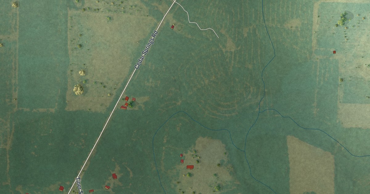
A detailed map of Cedar Springs, Georgia, showing every building in its true location, the roads by name, and shaded topographical relief.
Read More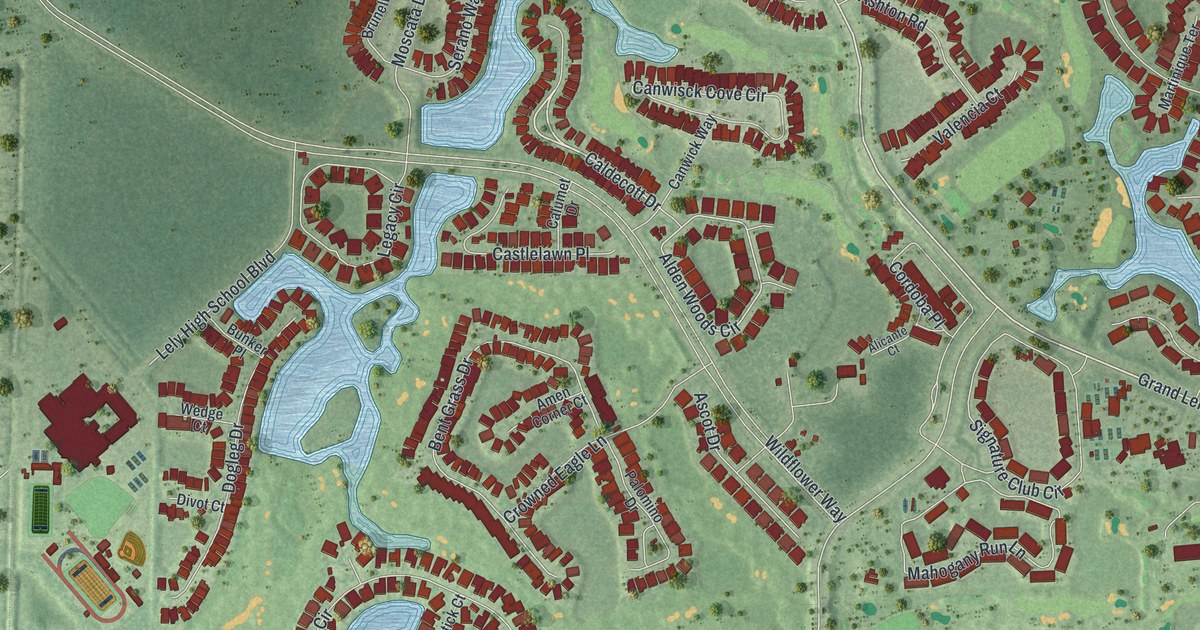
A detailed map of Lely Resort, Florida, showing every building in its true location, the roads by name, and shaded topographical relief.
Read More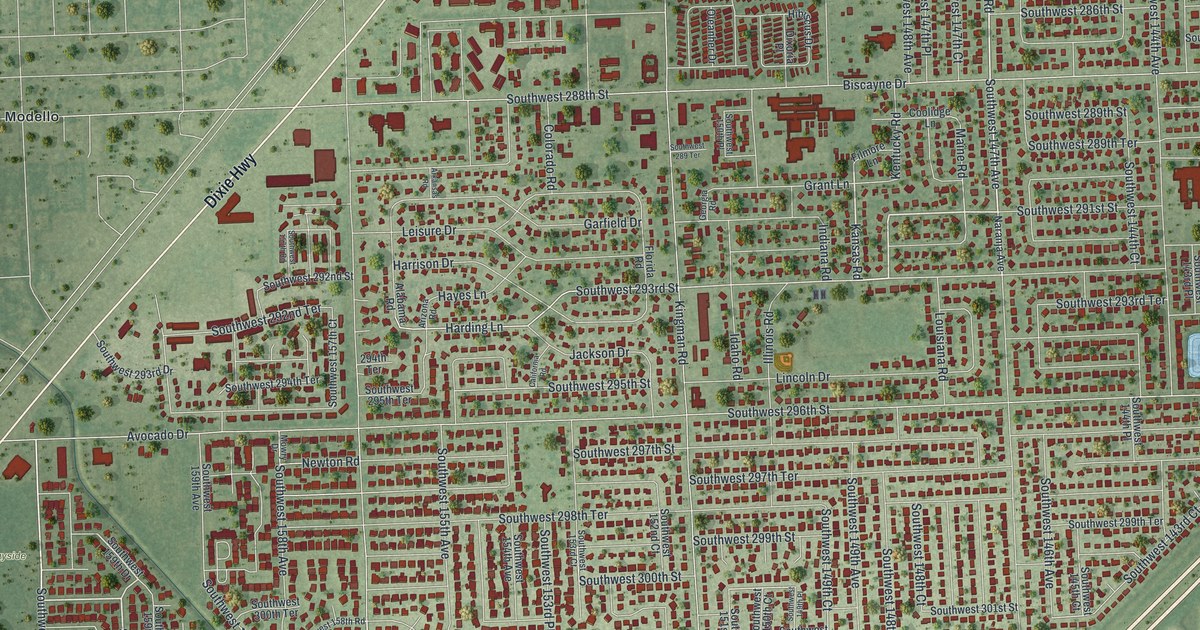
A detailed map of Leisure City, Florida, showing every building in its true location, the roads by name, and shaded topographical relief.
Read More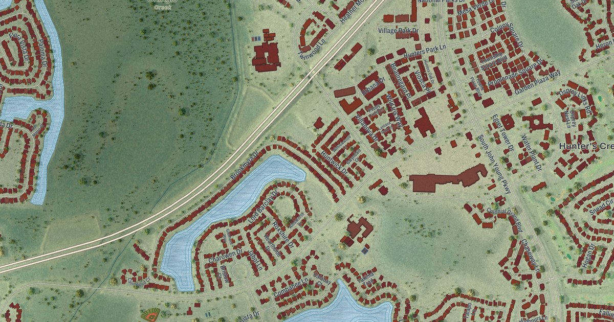
A detailed map of Hunters Creek, Florida, showing every building in its true location, the roads by name, and shaded topographical relief.
Read More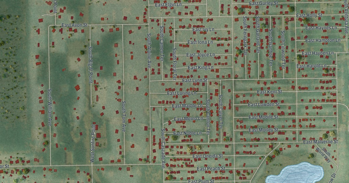
A detailed map of Inverness Highlands South, Florida, showing every building in its true location, the roads by name, and shaded topographical relief.
Read More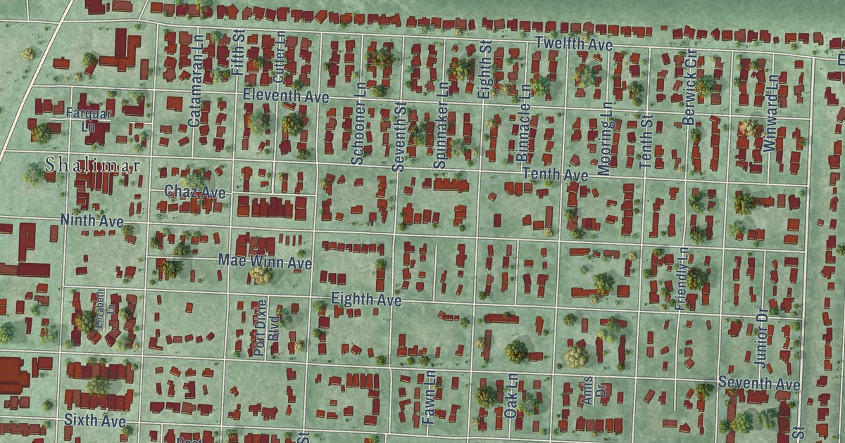
A detailed map of Lake Lorraine, Florida, showing every building in its true location, the roads by name, and shaded topographical relief.
Read More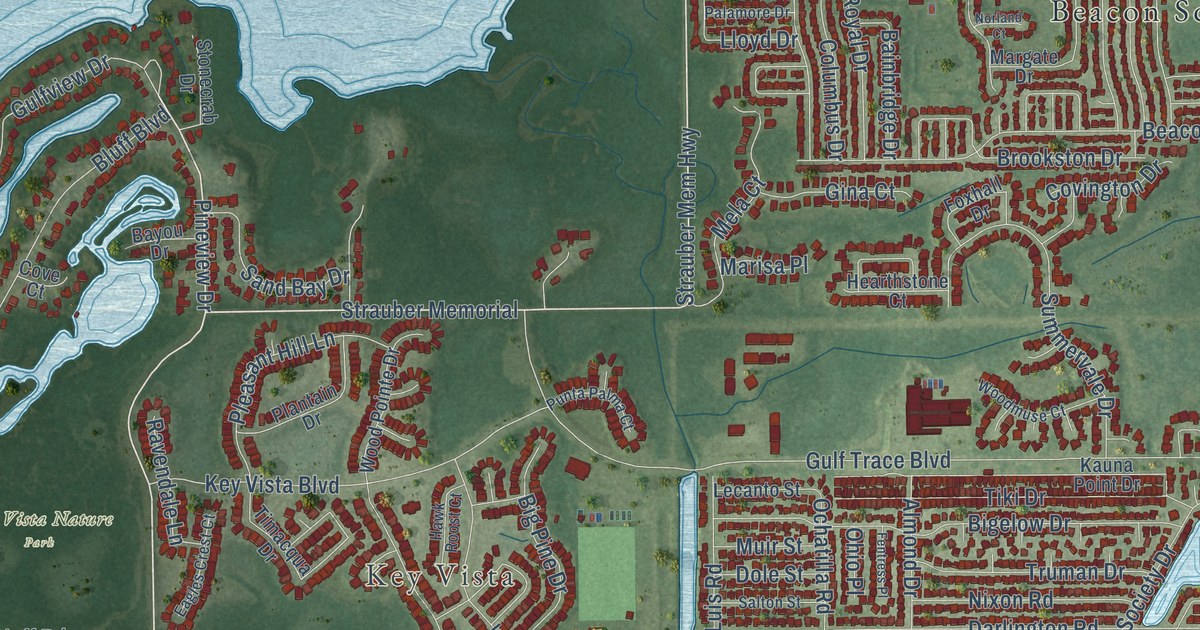
A detailed map of Holiday, Florida, showing every building in its true location, the roads by name, and shaded topographical relief.
Read More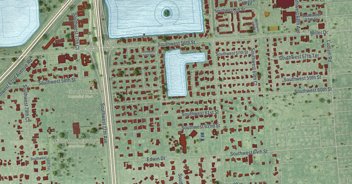
A detailed map of Glenvar Heights, Florida, showing every building in its true location, the roads by name, and shaded topographical relief.
Read More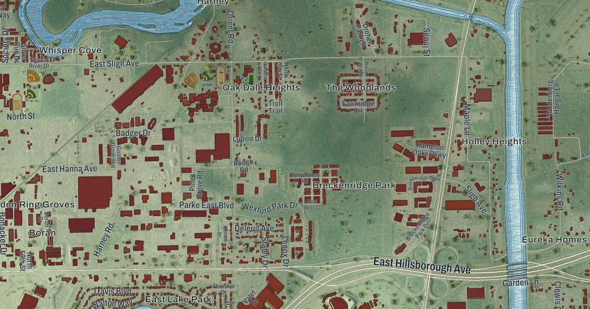
A detailed map of East Lake-Orient Park, Florida, showing every building in its true location, the roads by name, and shaded topographical relief.
Read More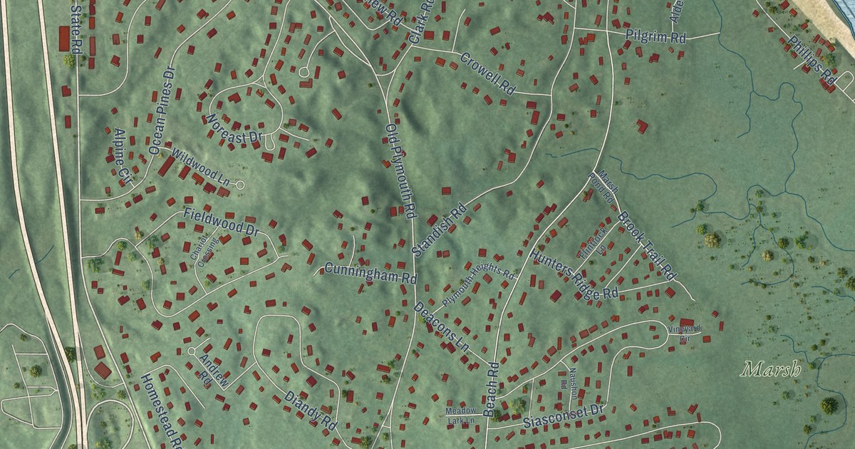
A detailed map of Sagamore, Massachusetts, showing every building in its true location, the roads by name, and shaded topographical relief.
Read More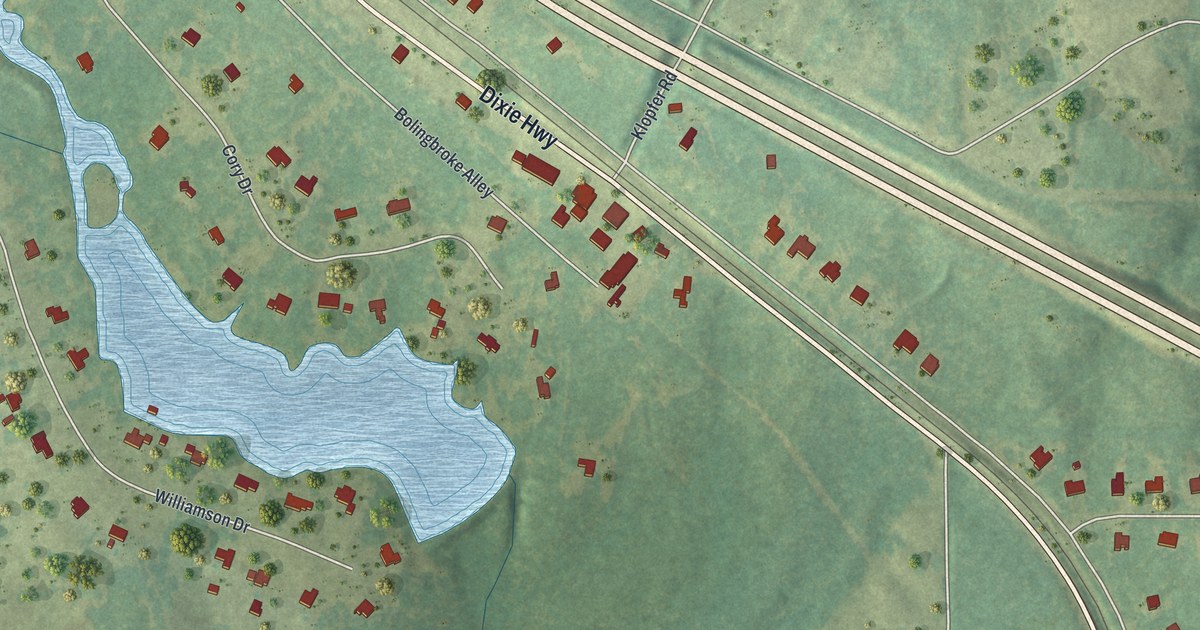
A detailed map of Bolingbroke, Georgia, showing every building in its true location, the roads by name, and shaded topographical relief.
Read More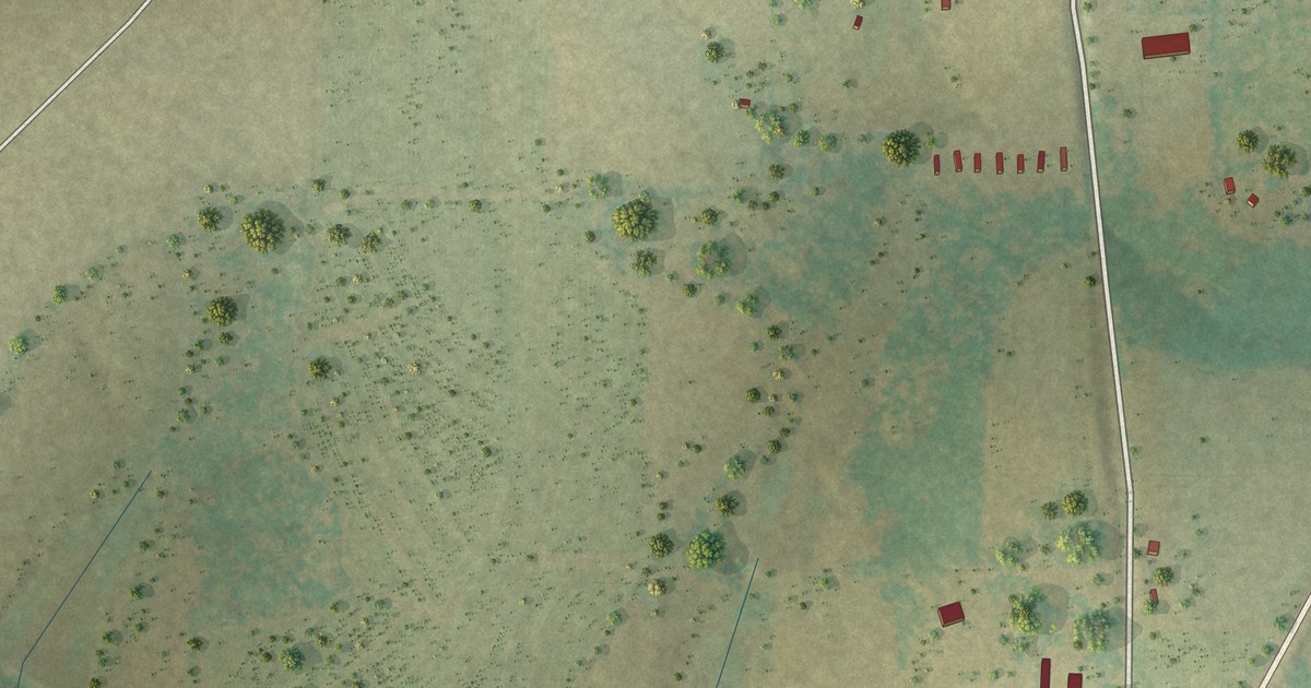
A detailed map of Calvary, Georgia, showing every building in its true location, the roads by name, and shaded topographical relief.
Read More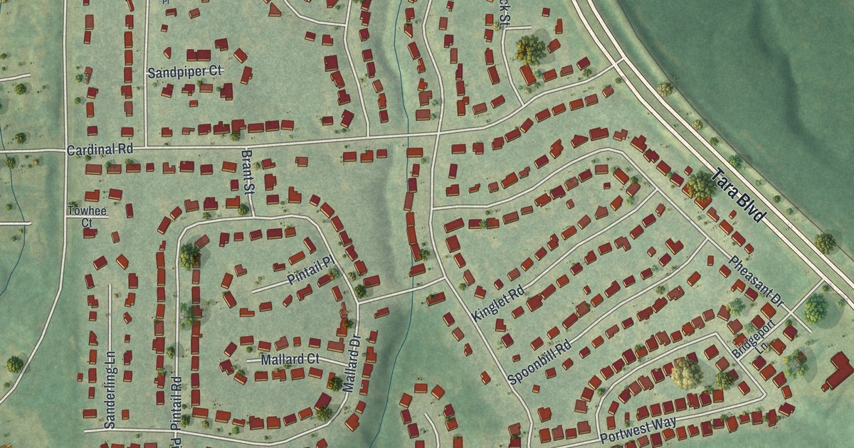
A detailed map of Bonanza, Georgia, showing every building in its true location, the roads by name, and shaded topographical relief.
Read More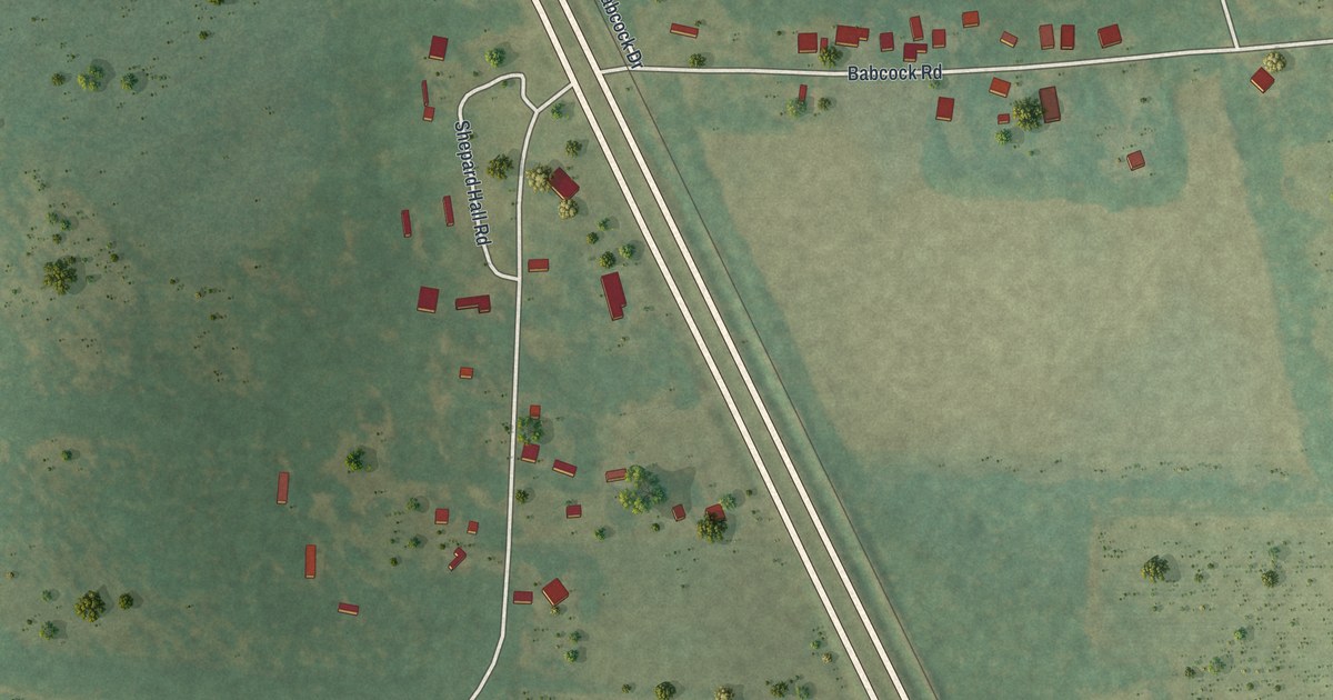
A detailed map of Boykin, Georgia, showing every building in its true location, the roads by name, and shaded topographical relief.
Read More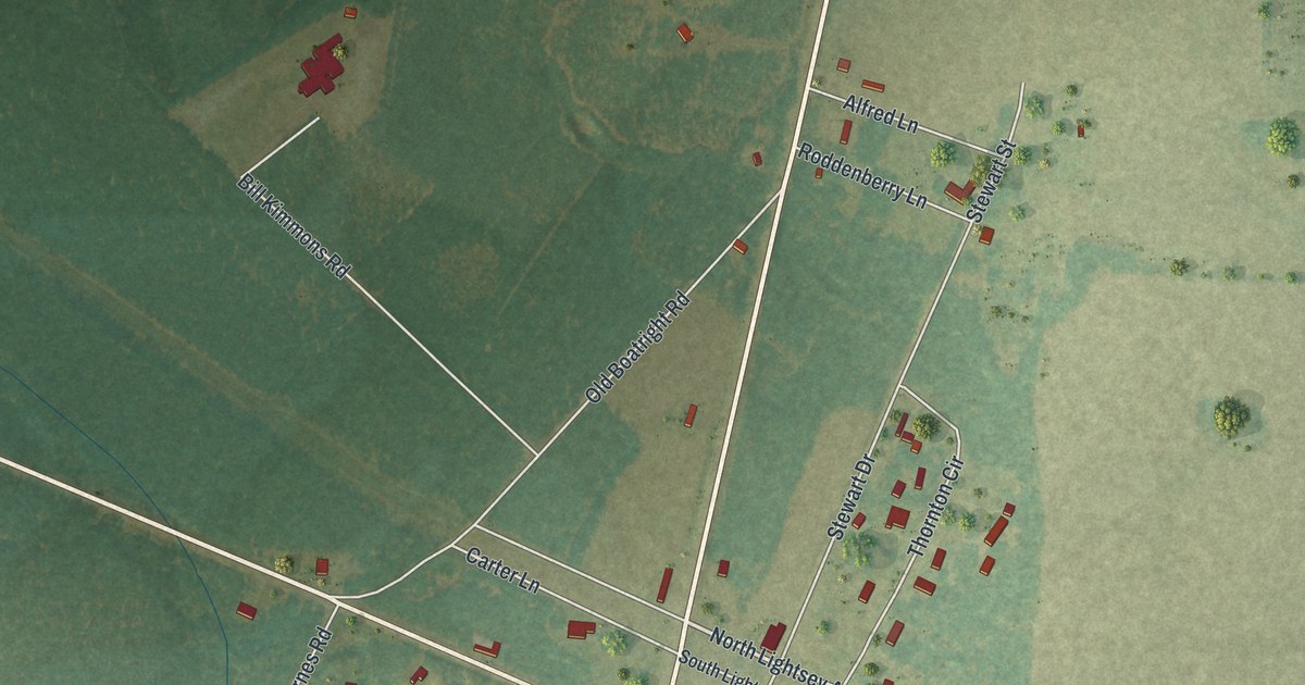
A detailed map of Bristol, Georgia, showing every building in its true location, the roads by name, and shaded topographical relief.
Read More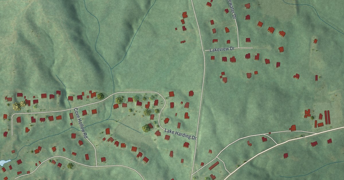
A detailed map of Antioch, Georgia, showing every building in its true location, the roads by name, and shaded topographical relief.
Read More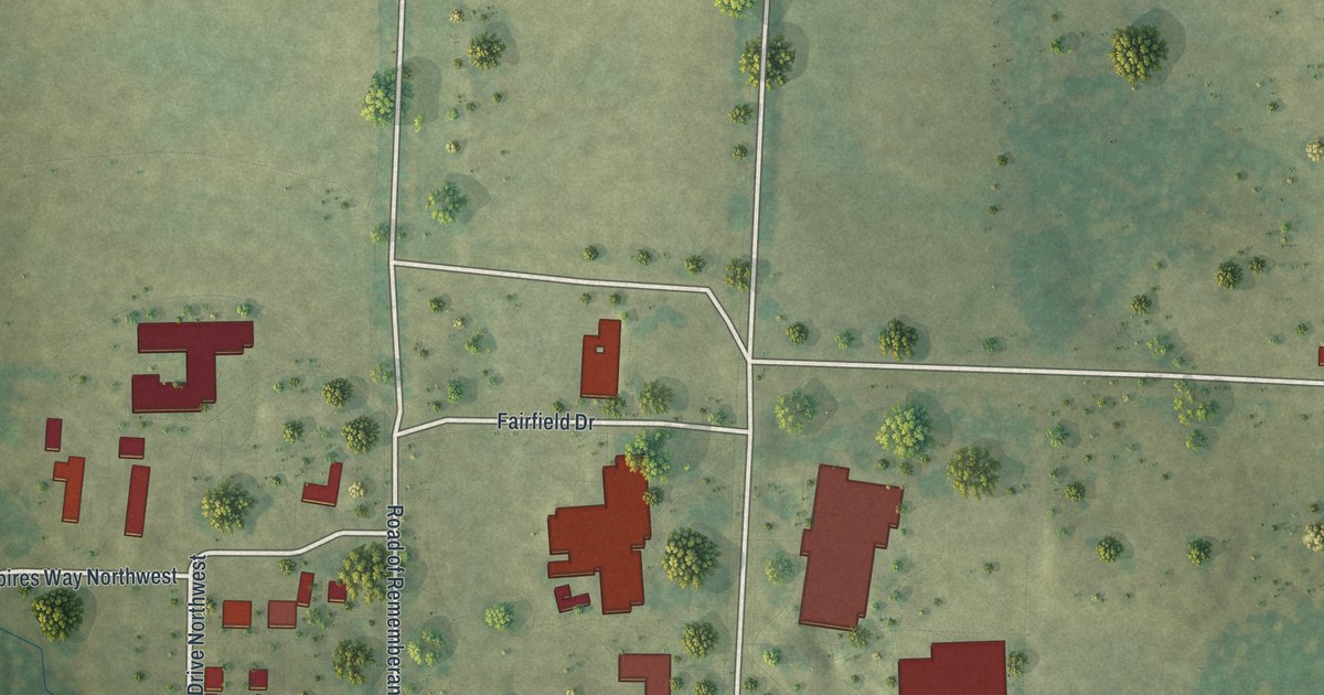
A detailed map of Berry College, Georgia, showing every building in its true location, the roads by name, and shaded topographical relief.
Read More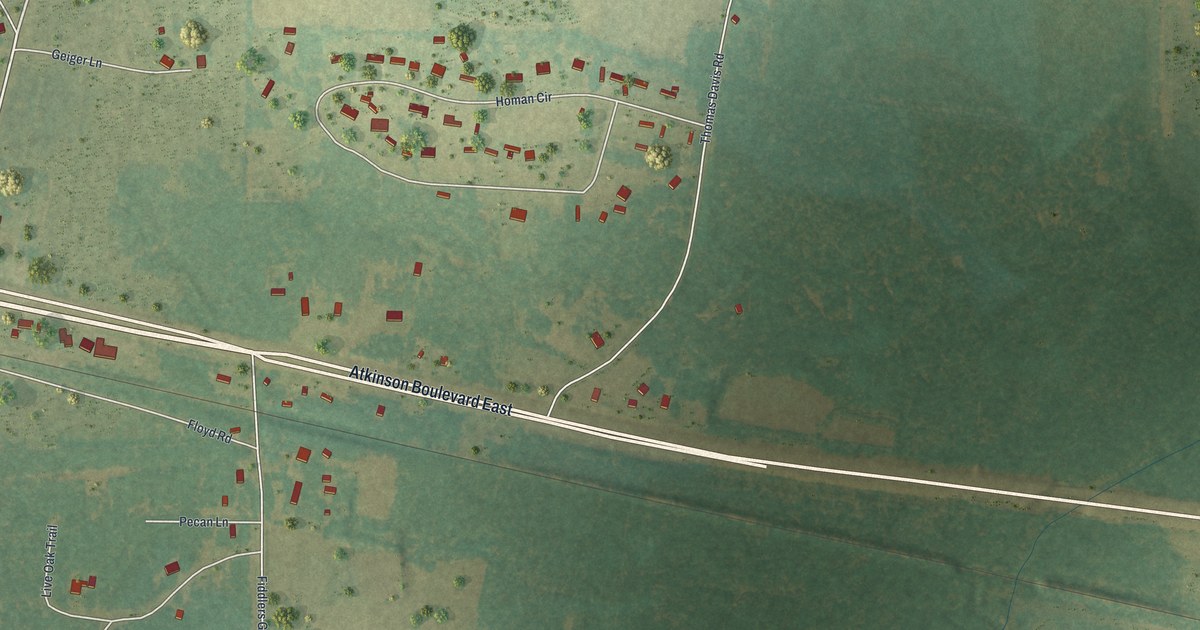
A detailed map of Axson, Georgia, showing every building in its true location, the roads by name, and shaded topographical relief.
Read More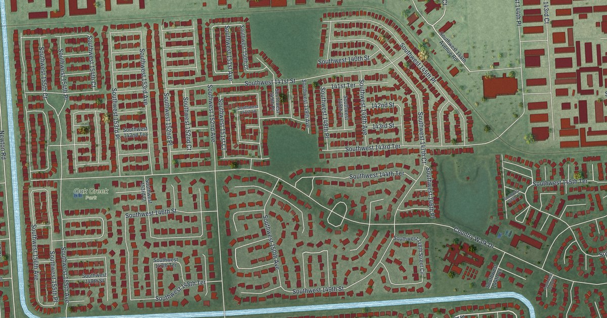
A detailed map of Country Walk, Florida, showing every building in its true location, the roads by name, and shaded topographical relief.
Read More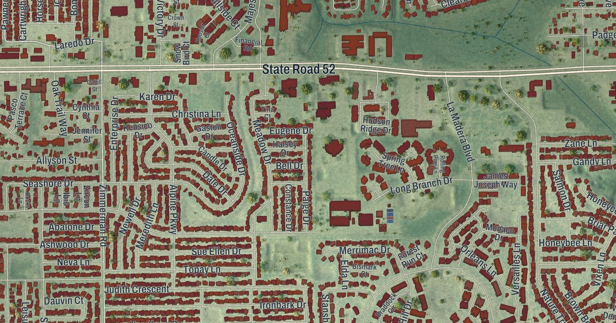
A detailed map of Bayonet Point, Florida, showing every building in its true location, the roads by name, and shaded topographical relief.
Read More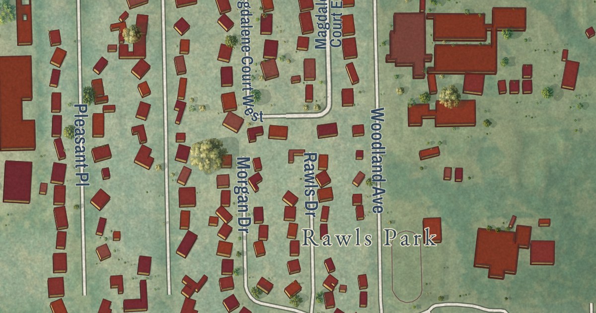
A detailed map of Combee Settlement, Florida, showing every building in its true location, the roads by name, and shaded topographical relief.
Read More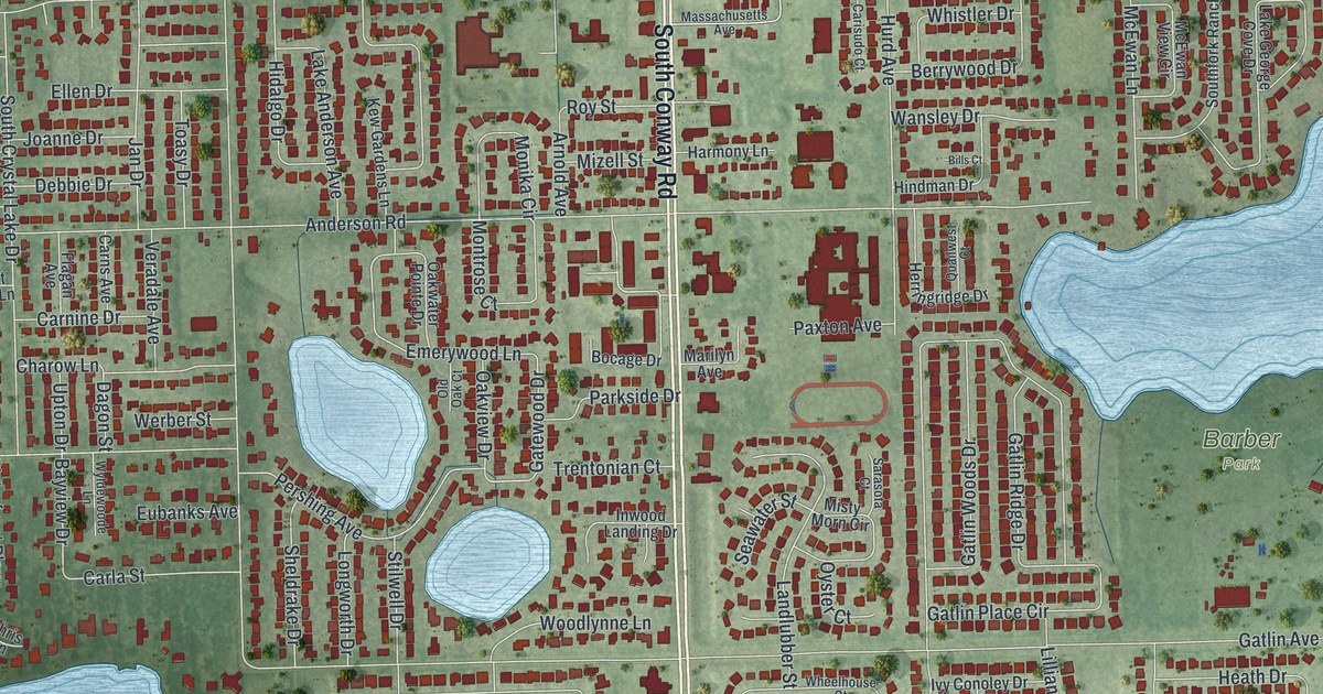
A detailed map of Conway, Florida, showing every building in its true location, the roads by name, and shaded topographical relief.
Read More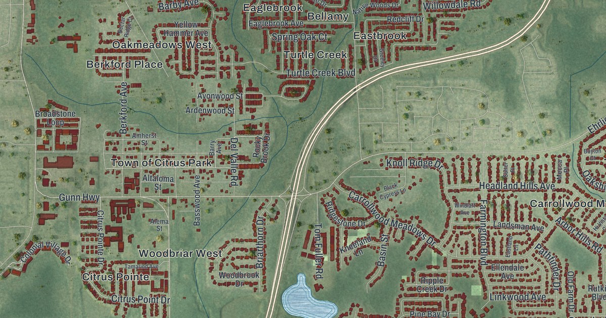
A detailed map of Citrus Park, Florida, showing every building in its true location, the roads by name, and shaded topographical relief.
Read More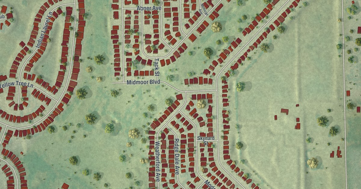
A detailed map of Brookridge, Florida, showing every building in its true location, the roads by name, and shaded topographical relief.
Read More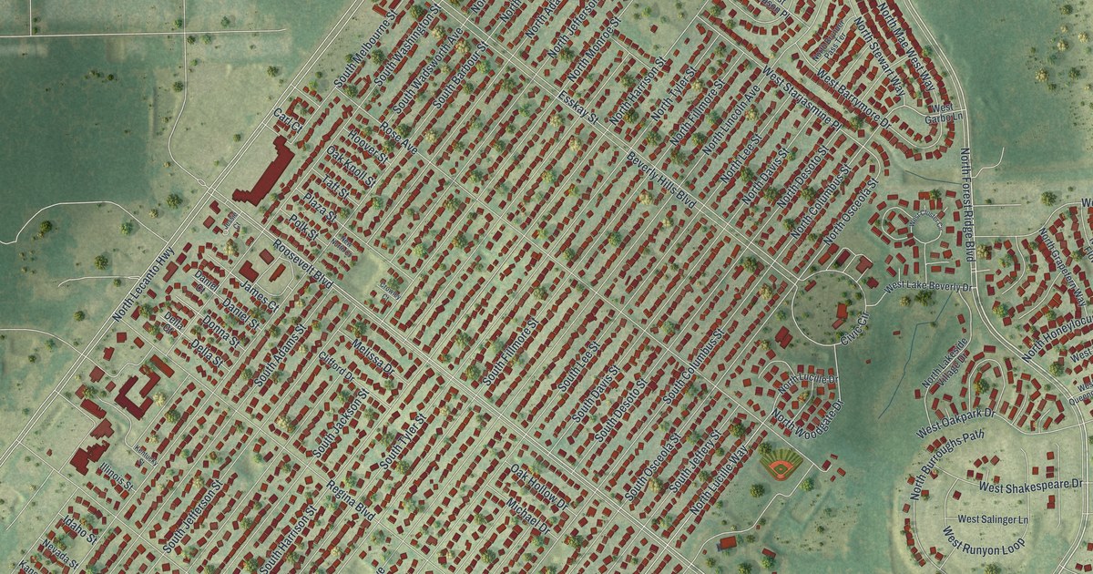
A detailed map of Beverly Hills, Florida, showing every building in its true location, the roads by name, and shaded topographical relief.
Read More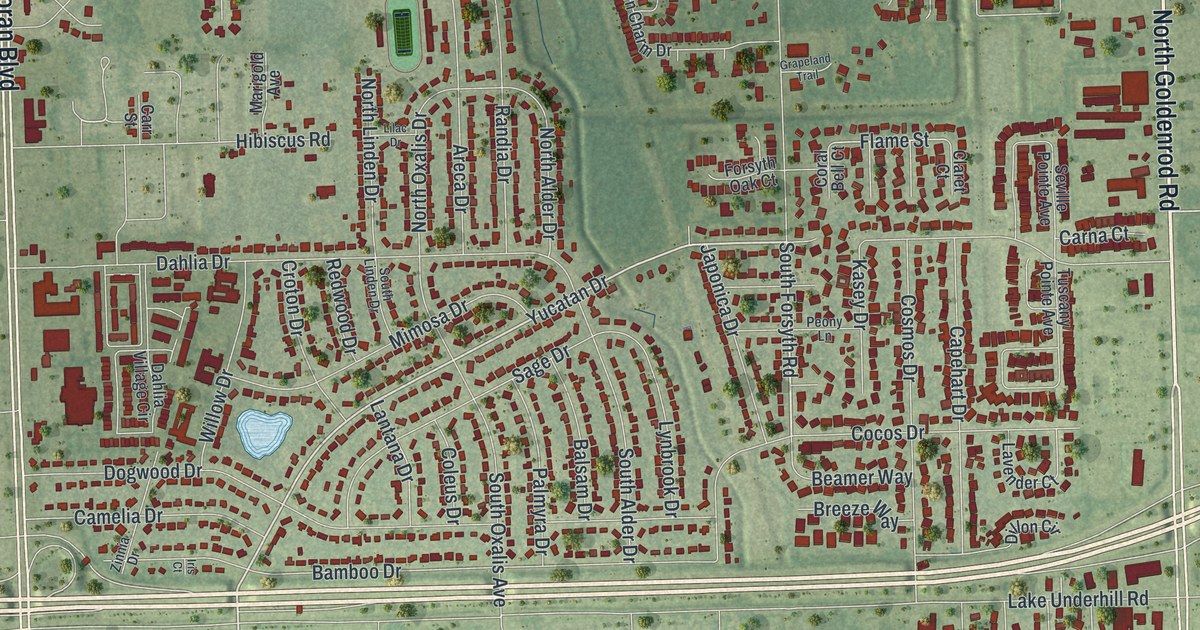
A detailed map of Azalea Park, Florida, showing every building in its true location, the roads by name, and shaded topographical relief.
Read More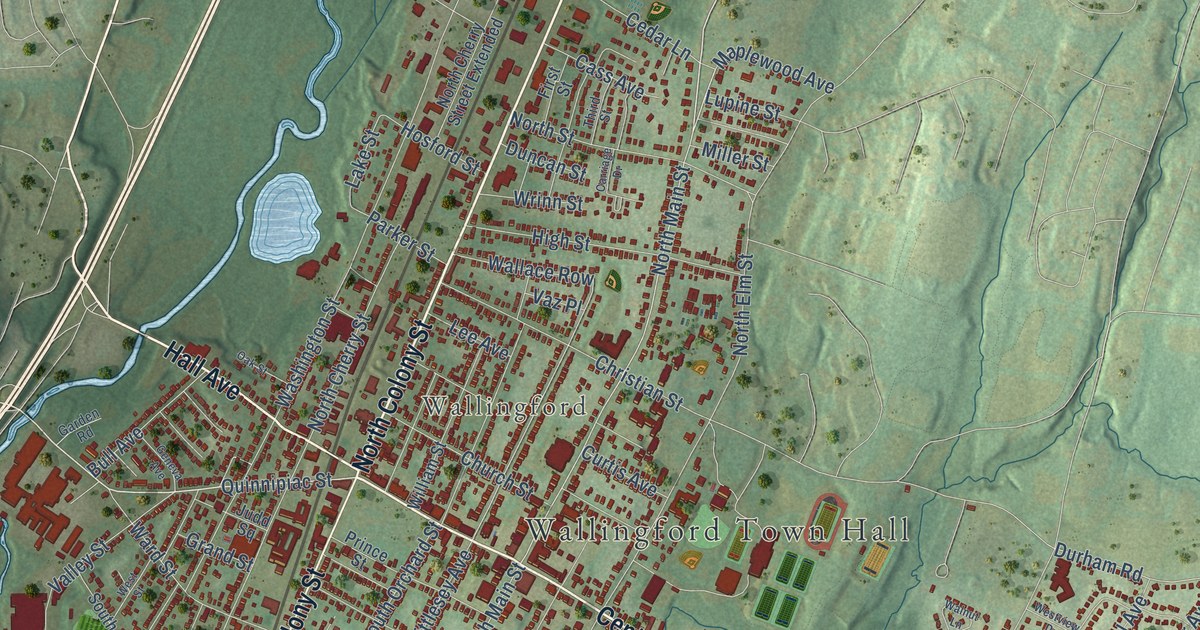
A detailed map of Wallingford Center, Connecticut, showing every building in its true location, the roads by name, and shaded topographical relief.
Read More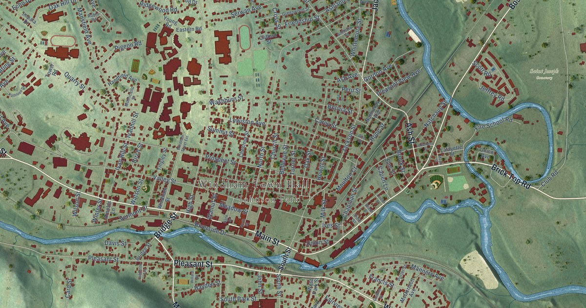
A detailed map of Willimantic, Connecticut, showing every building in its true location, the roads by name, and shaded topographical relief.
Read More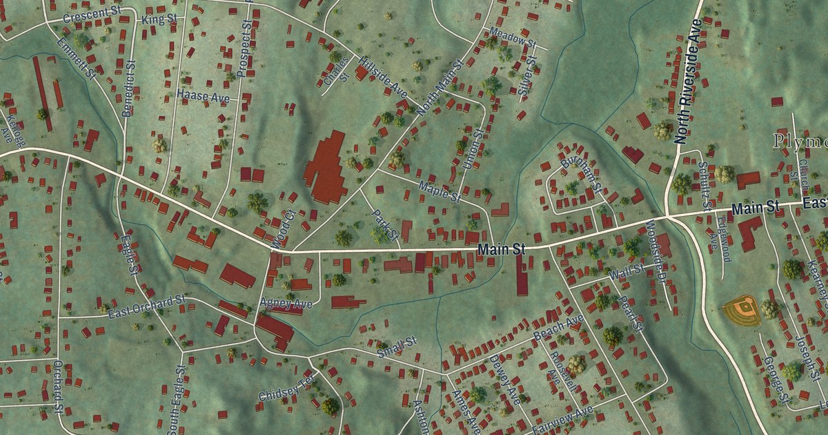
A detailed map of Terryville, Connecticut, showing every building in its true location, the roads by name, and shaded topographical relief.
Read More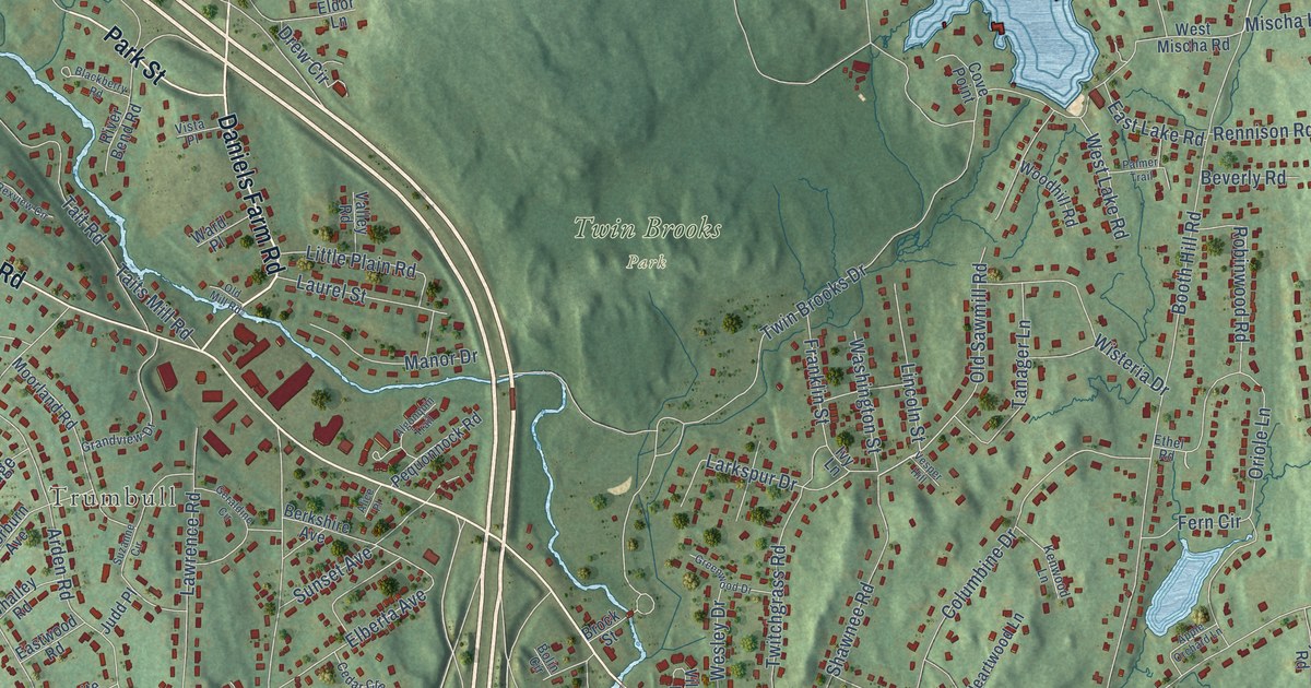
A detailed map of Trumbull Center, Connecticut, showing every building in its true location, the roads by name, and shaded topographical relief.
Read More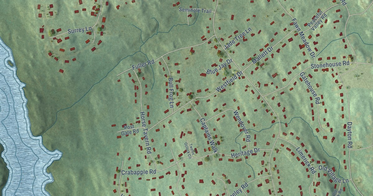
A detailed map of Tashua, Connecticut, showing every building in its true location, the roads by name, and shaded topographical relief.
Read More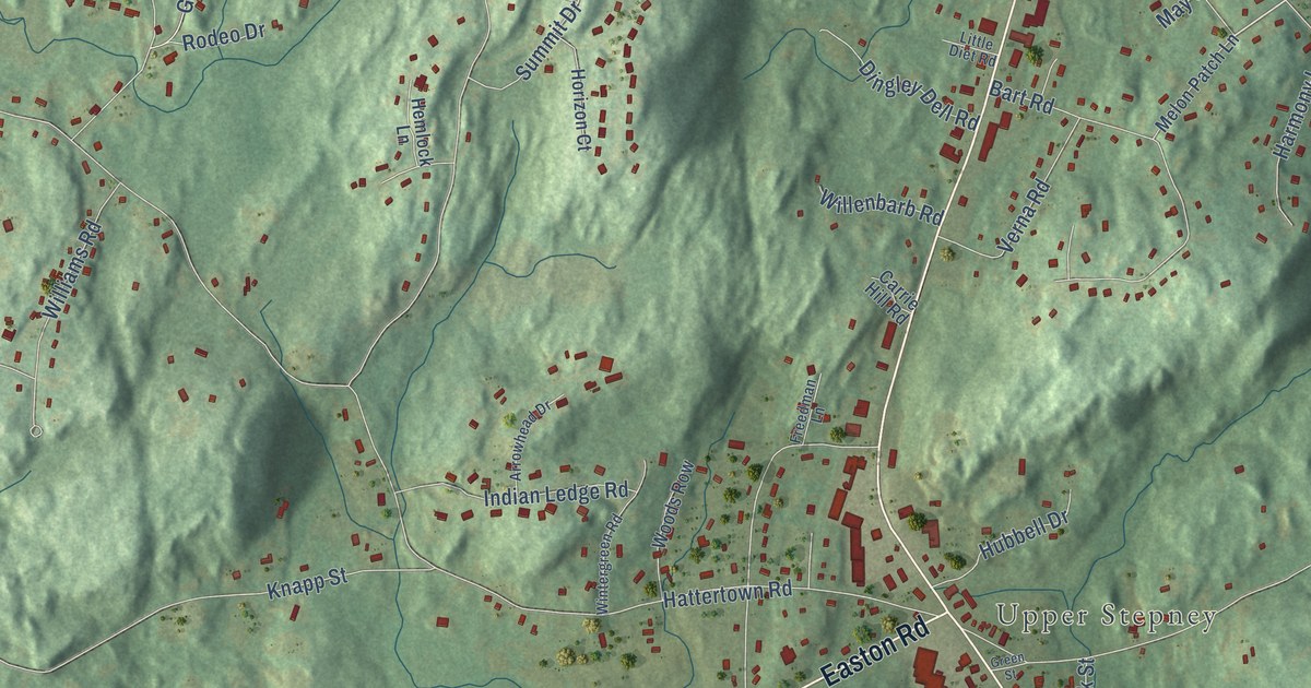
A detailed map of Stepney, Connecticut, showing every building in its true location, the roads by name, and shaded topographical relief.
Read More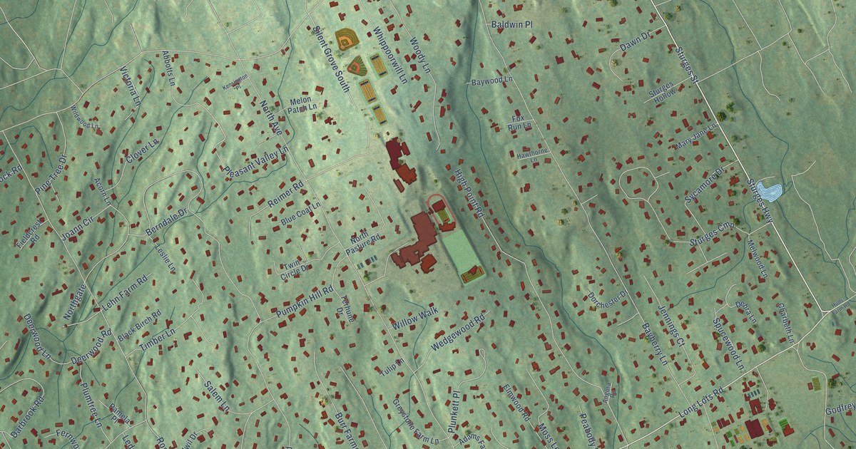
A detailed map of Staples, Connecticut, showing every building in its true location, the roads by name, and shaded topographical relief.
Read More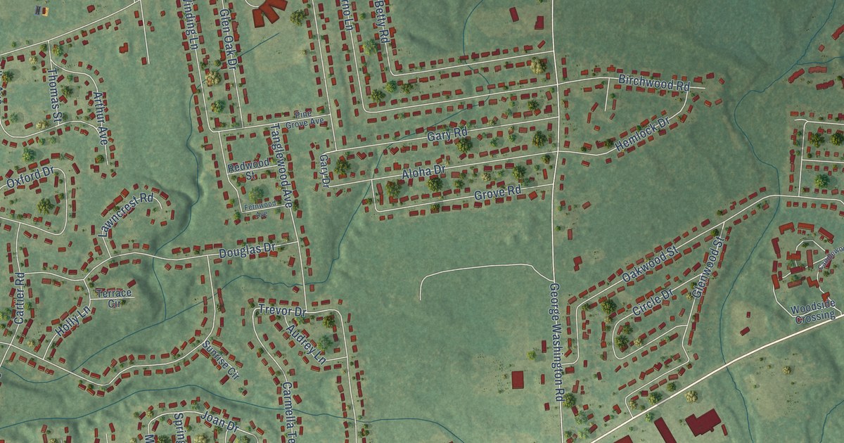
A detailed map of Sherwood Manor, Connecticut, showing every building in its true location, the roads by name, and shaded topographical relief.
Read More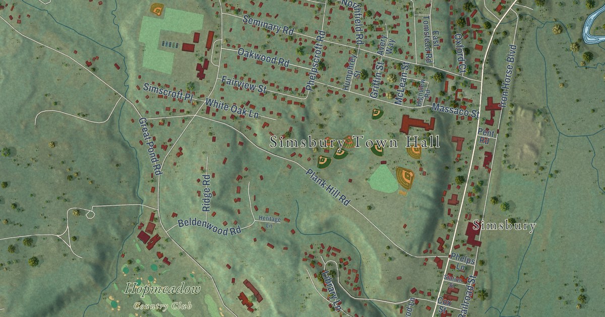
A detailed map of Simsbury Center, Connecticut, showing every building in its true location, the roads by name, and shaded topographical relief.
Read More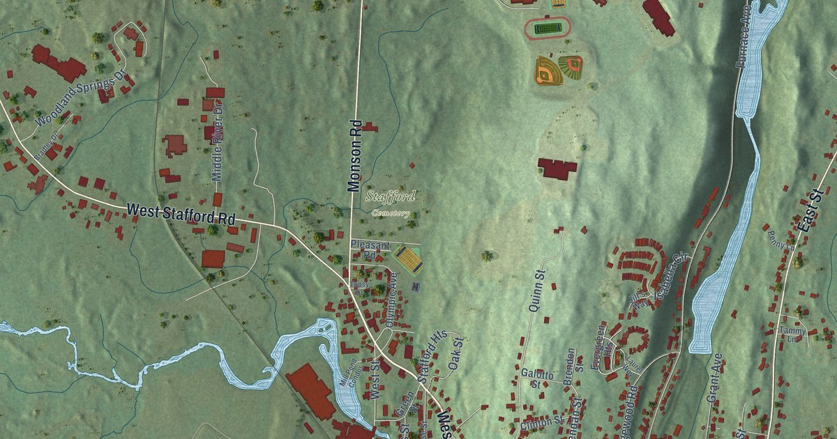
A detailed map of Stafford Springs, Connecticut, showing every building in its true location, the roads by name, and shaded topographical relief.
Read More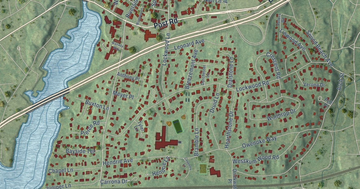
A detailed map of Riverside, Connecticut, showing every building in its true location, the roads by name, and shaded topographical relief.
Read More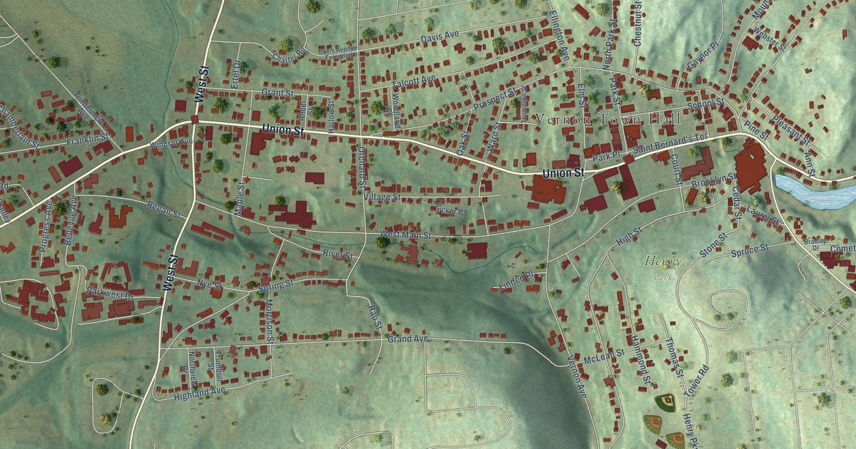
A detailed map of Rockville, Connecticut, showing every building in its true location, the roads by name, and shaded topographical relief.
Read More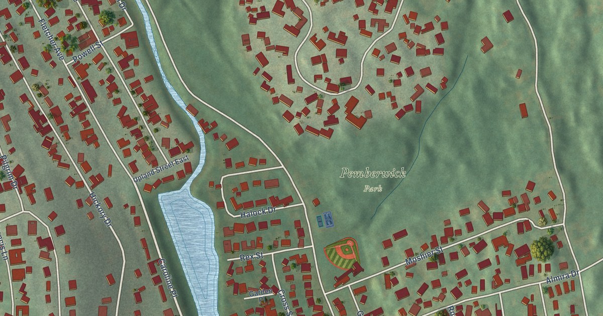
A detailed map of Pemberwick, Connecticut, showing every building in its true location, the roads by name, and shaded topographical relief.
Read More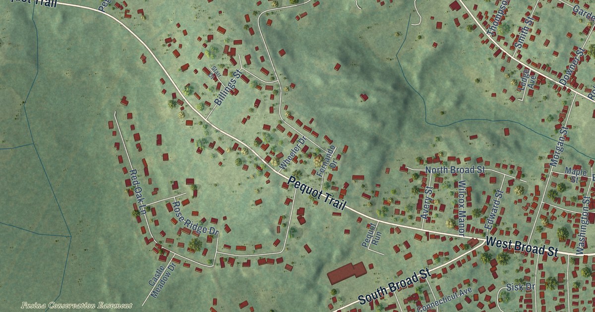
A detailed map of Pawcatuck, Connecticut, showing every building in its true location, the roads by name, and shaded topographical relief.
Read More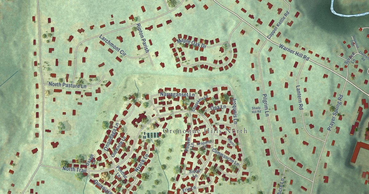
A detailed map of Oronoque, Connecticut, showing every building in its true location, the roads by name, and shaded topographical relief.
Read More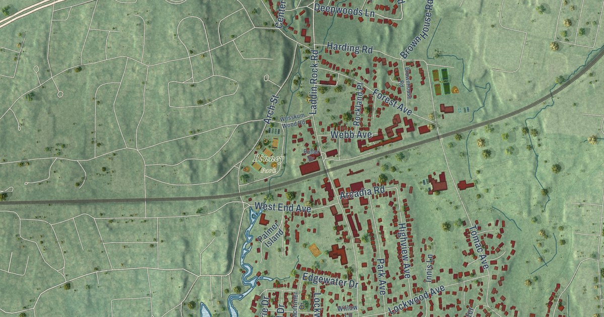
A detailed map of Old Greenwich, Connecticut, showing every building in its true location, the roads by name, and shaded topographical relief.
Read More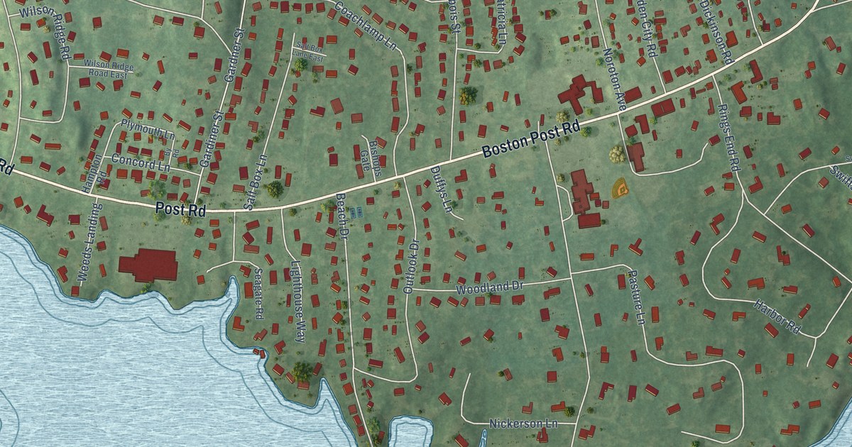
A detailed map of Noroton, Connecticut, showing every building in its true location, the roads by name, and shaded topographical relief.
Read More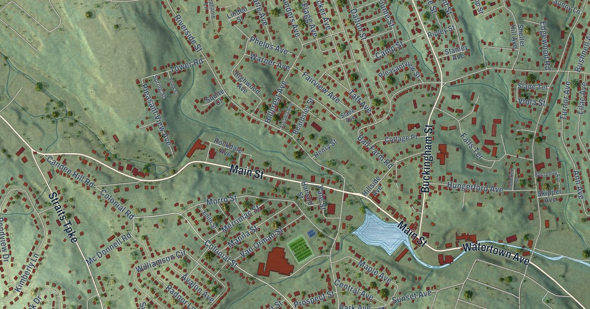
A detailed map of Oakville, Connecticut, showing every building in its true location, the roads by name, and shaded topographical relief.
Read More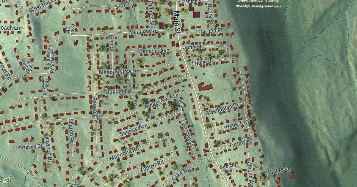
A detailed map of Long Hill, Connecticut, showing every building in its true location, the roads by name, and shaded topographical relief.
Read More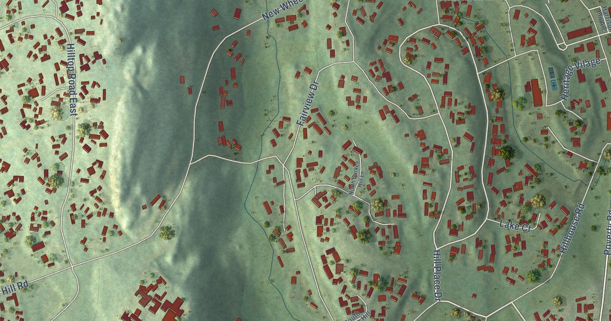
A detailed map of Heritage Village, Connecticut, showing every building in its true location, the roads by name, and shaded topographical relief.
Read More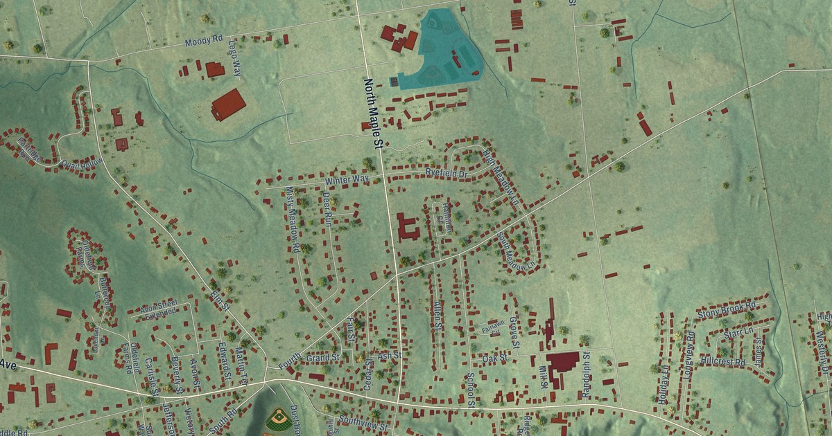
A detailed map of Hazardville, Connecticut, showing every building in its true location, the roads by name, and shaded topographical relief.
Read More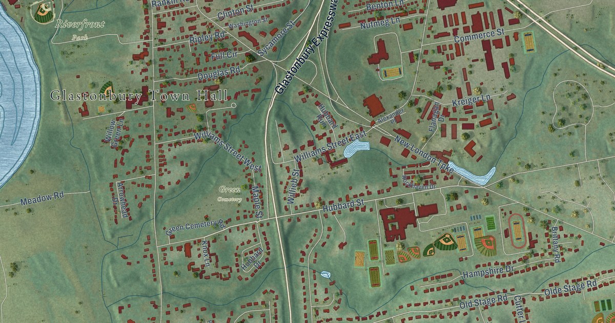
A detailed map of Glastonbury Center, Connecticut, showing every building in its true location, the roads by name, and shaded topographical relief.
Read More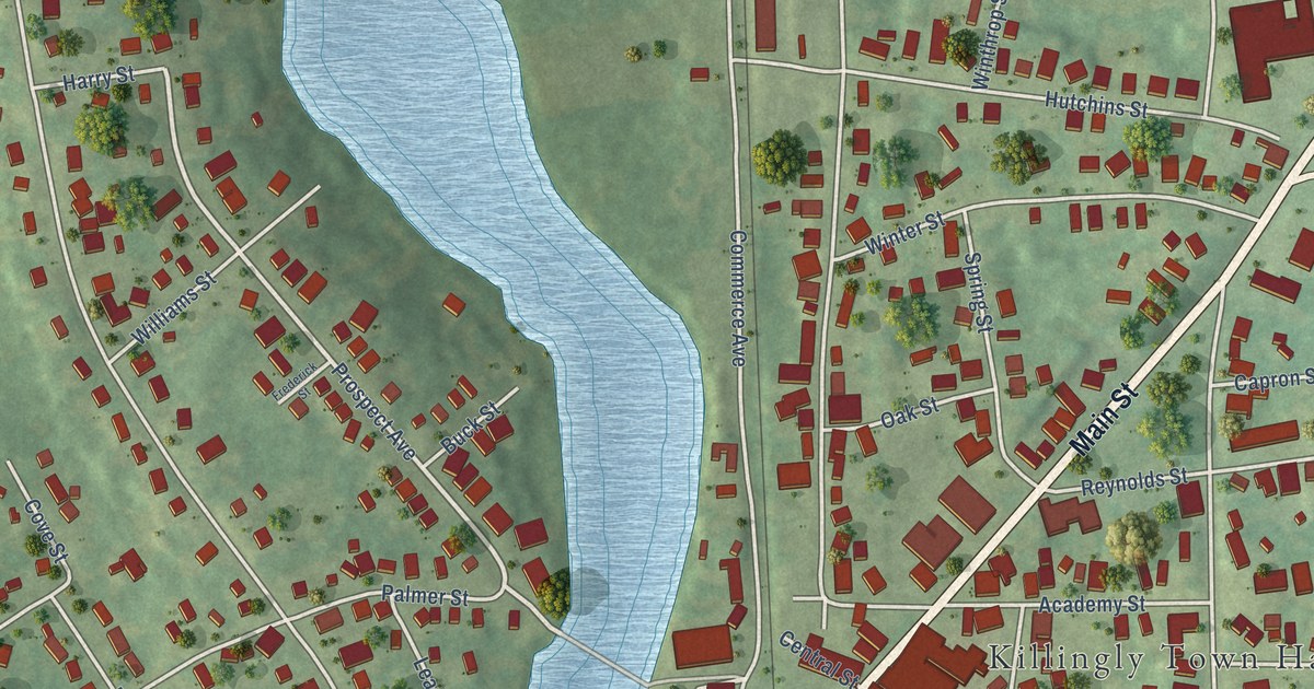
A detailed map of Danielson, Connecticut, showing every building in its true location, the roads by name, and shaded topographical relief.
Read More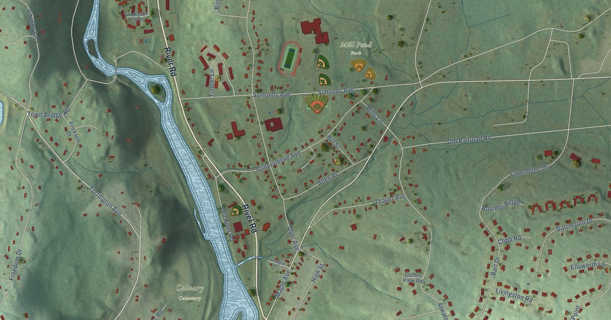
A detailed map of Collinsville, Connecticut, showing every building in its true location, the roads by name, and shaded topographical relief.
Read More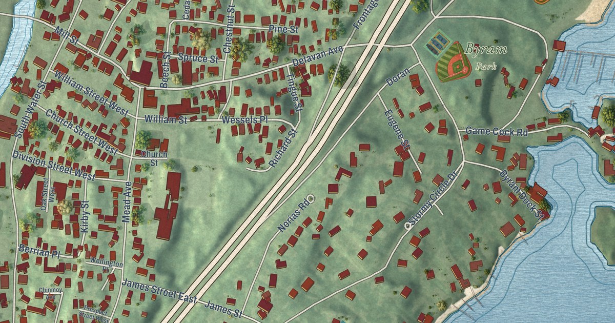
A detailed map of Byram, Connecticut, showing every building in its true location, the roads by name, and shaded topographical relief.
Read More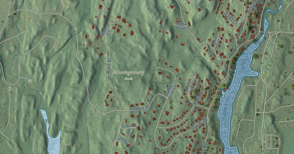
A detailed map of Cos Cob, Connecticut, showing every building in its true location, the roads by name, and shaded topographical relief.
Read More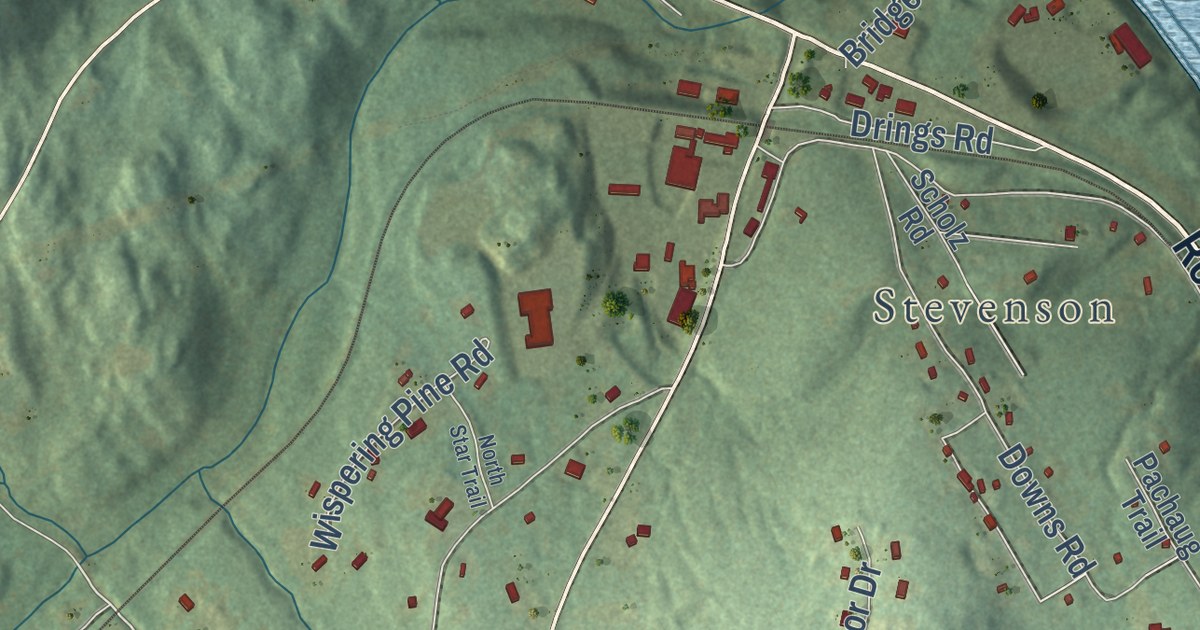
A detailed map of East Village, Connecticut, showing every building in its true location, the roads by name, and shaded topographical relief.
Read More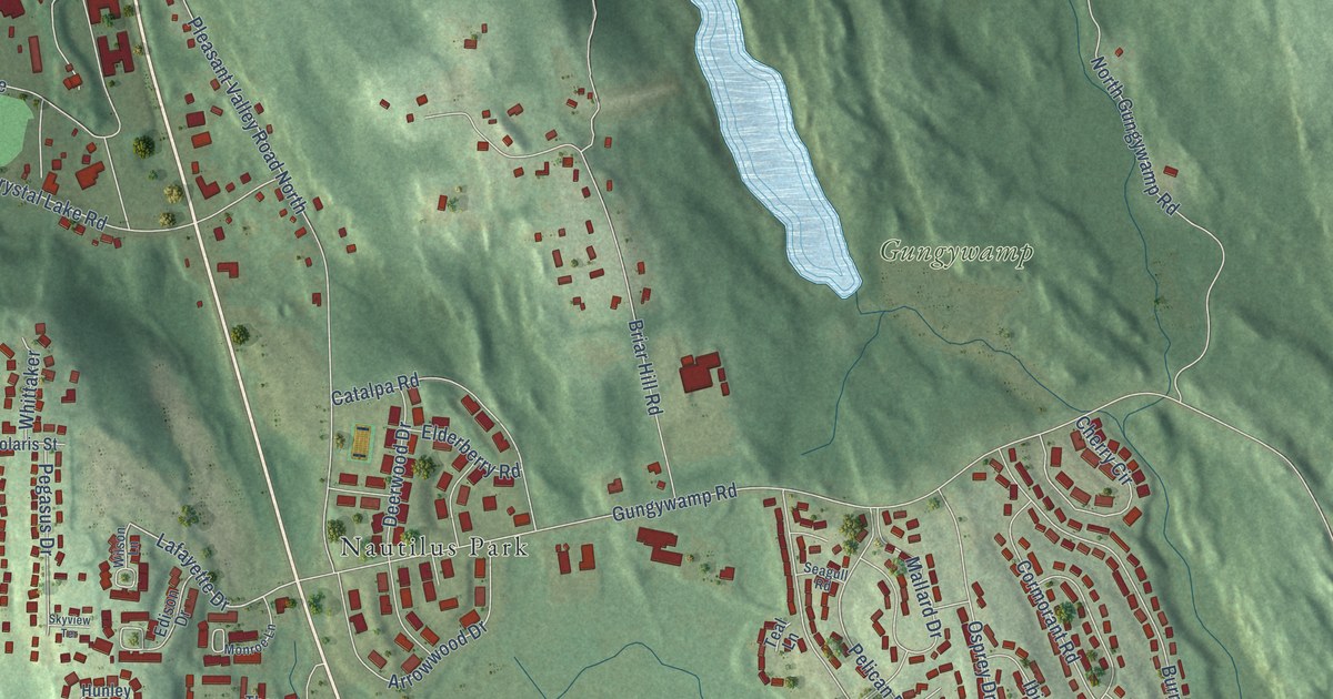
A detailed map of Conning Towers-Nautilus Park, Connecticut, showing every building in its true location, the roads by name, and shaded topographical relief.
Read More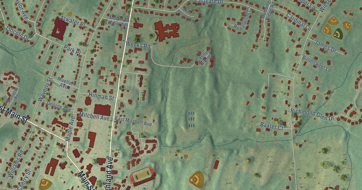
A detailed map of Cheshire Village, Connecticut, showing every building in its true location, the roads by name, and shaded topographical relief.
Read More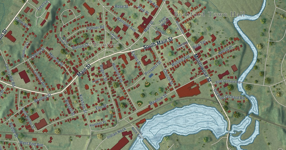
A detailed map of Branford Center, Connecticut, showing every building in its true location, the roads by name, and shaded topographical relief.
Read More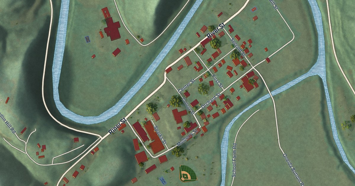
A detailed map of Oneida, Kentucky, showing every building in its true location, the roads by name, and shaded topographical relief.
Read More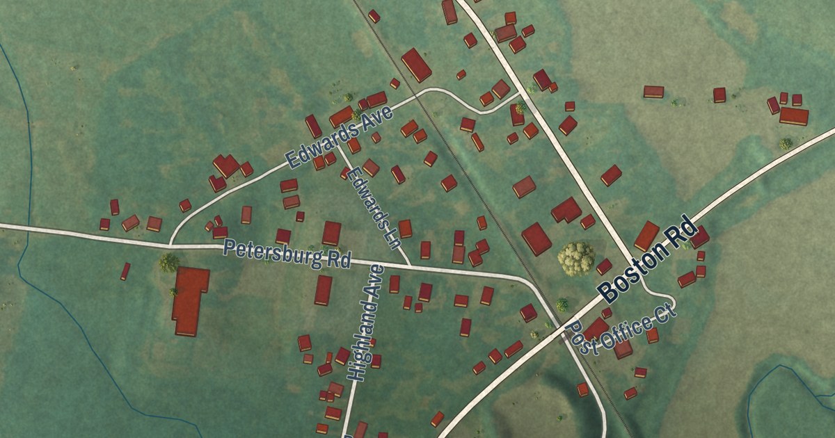
A detailed map of Boston, Kentucky, showing every building in its true location, the roads by name, and shaded topographical relief.
Read More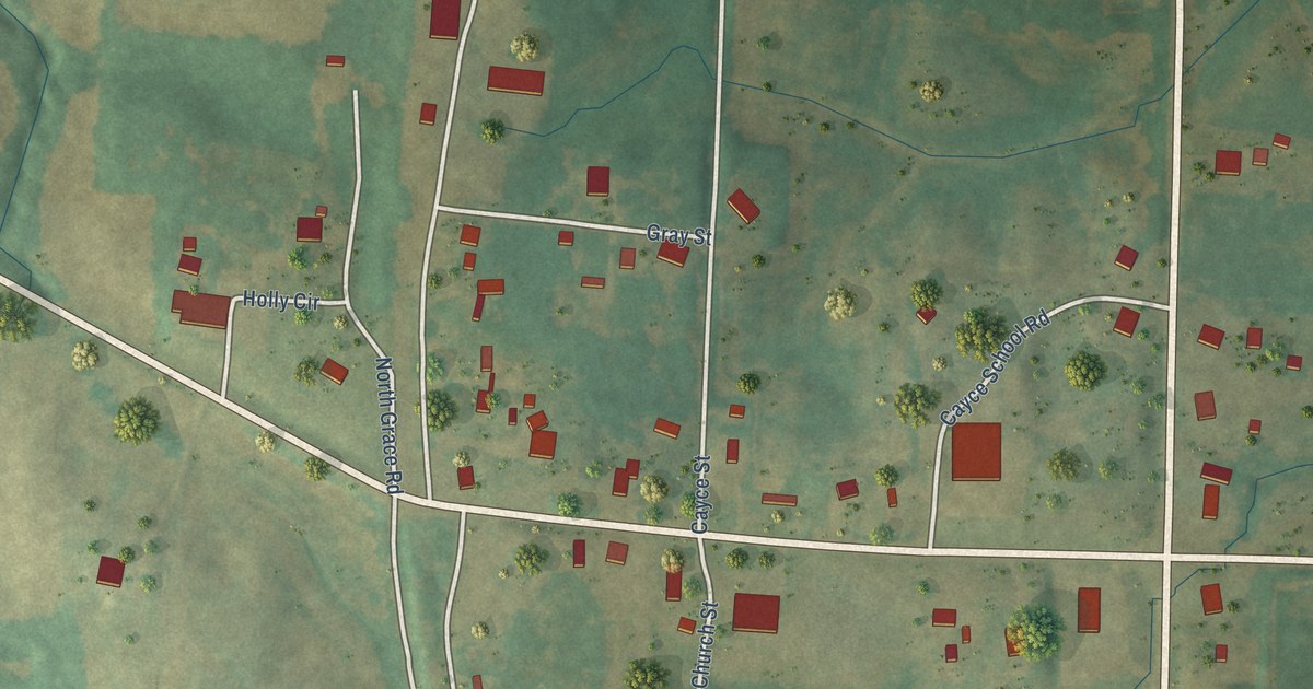
A detailed map of Cayce, Kentucky, showing every building in its true location, the roads by name, and shaded topographical relief.
Read More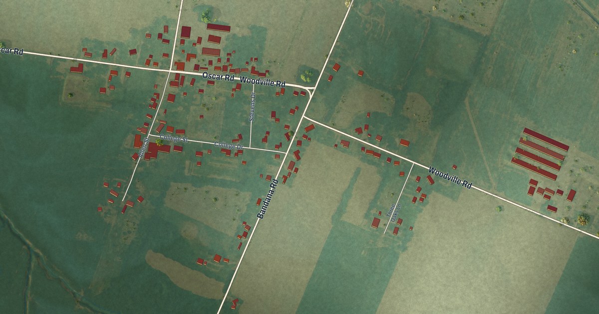
A detailed map of Bandana, Kentucky, showing every building in its true location, the roads by name, and shaded topographical relief.
Read More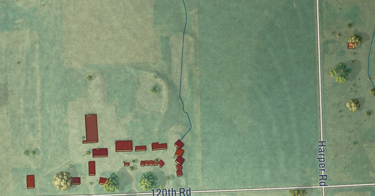
A detailed map of Urbana, Kansas, showing every building in its true location, the roads by name, and shaded topographical relief.
Read More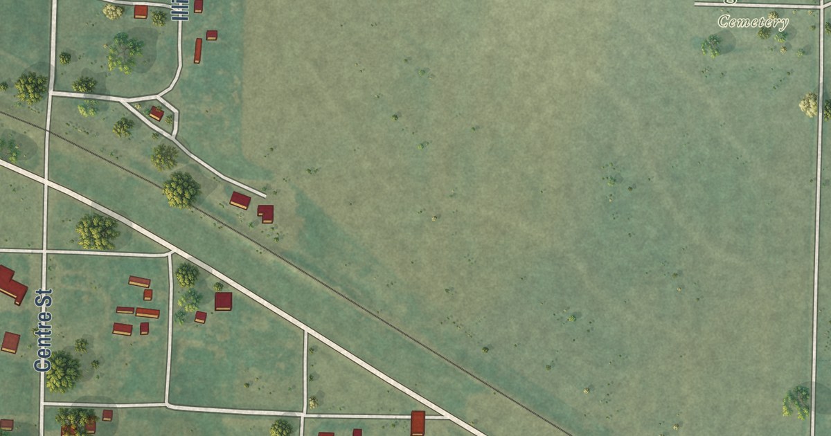
A detailed map of Ogallah, Kansas, showing every building in its true location, the roads by name, and shaded topographical relief.
Read More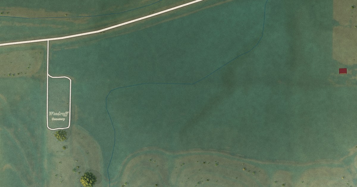
A detailed map of Woodruff, Kansas, showing every building in its true location, the roads by name, and shaded topographical relief.
Read More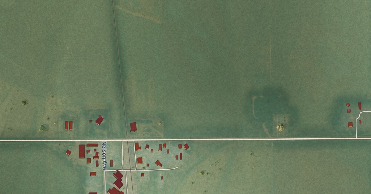
A detailed map of Norway, Kansas, showing every building in its true location, the roads by name, and shaded topographical relief.
Read More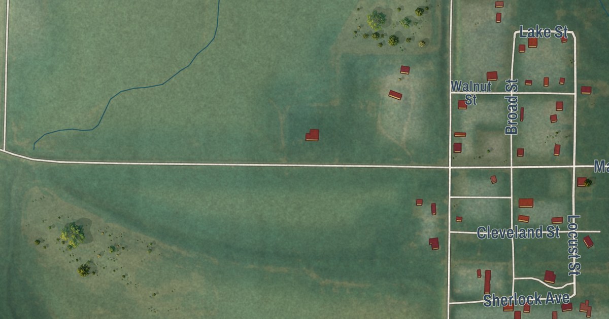
A detailed map of Lake City, Kansas, showing every building in its true location, the roads by name, and shaded topographical relief.
Read More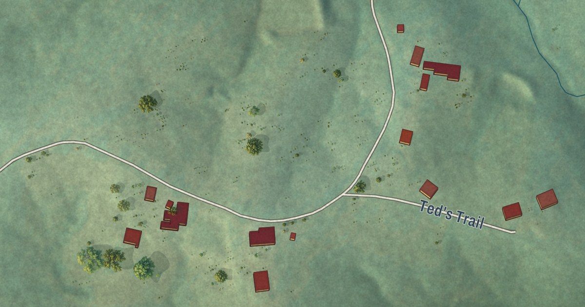
A detailed map of Warm Springs, Arkansas, showing every building in its true location, the roads by name, and shaded topographical relief.
Read More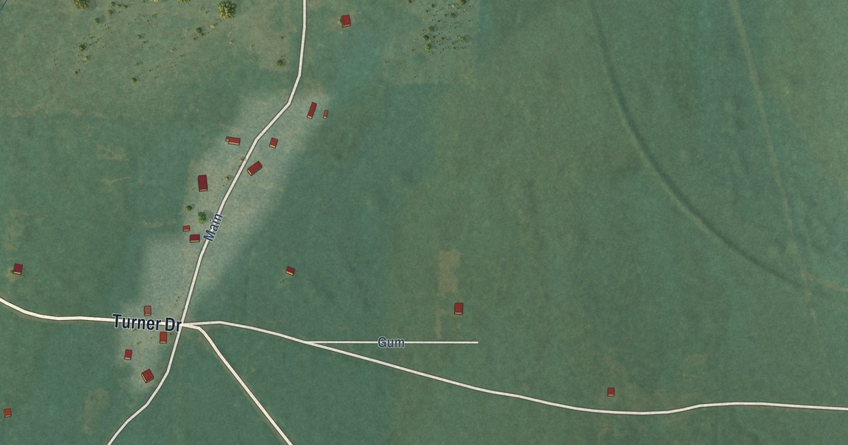
A detailed map of Reader, Arkansas, showing every building in its true location, the roads by name, and shaded topographical relief.
Read More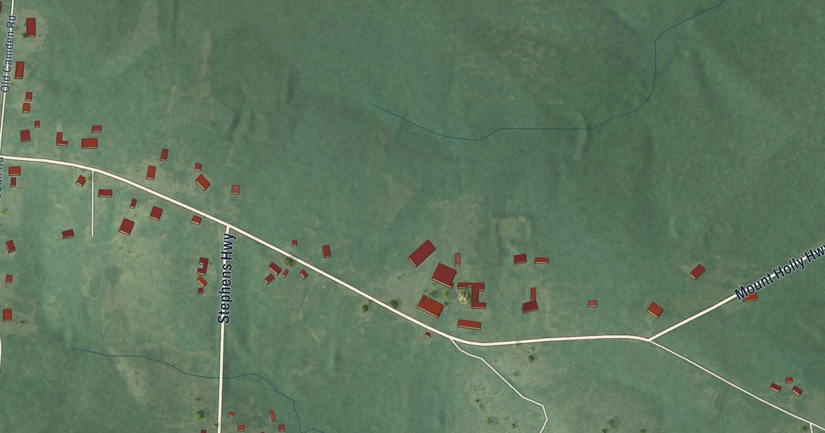
A detailed map of Mount Holly, Arkansas, showing every building in its true location, the roads by name, and shaded topographical relief.
Read More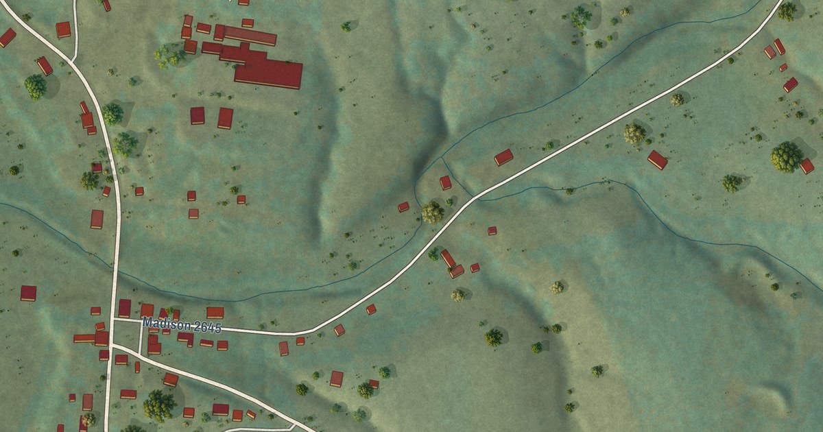
A detailed map of Kingston, Arkansas, showing every building in its true location, the roads by name, and shaded topographical relief.
Read More
A detailed map of Maysville, Arkansas, showing every building in its true location, the roads by name, and shaded topographical relief.
Read More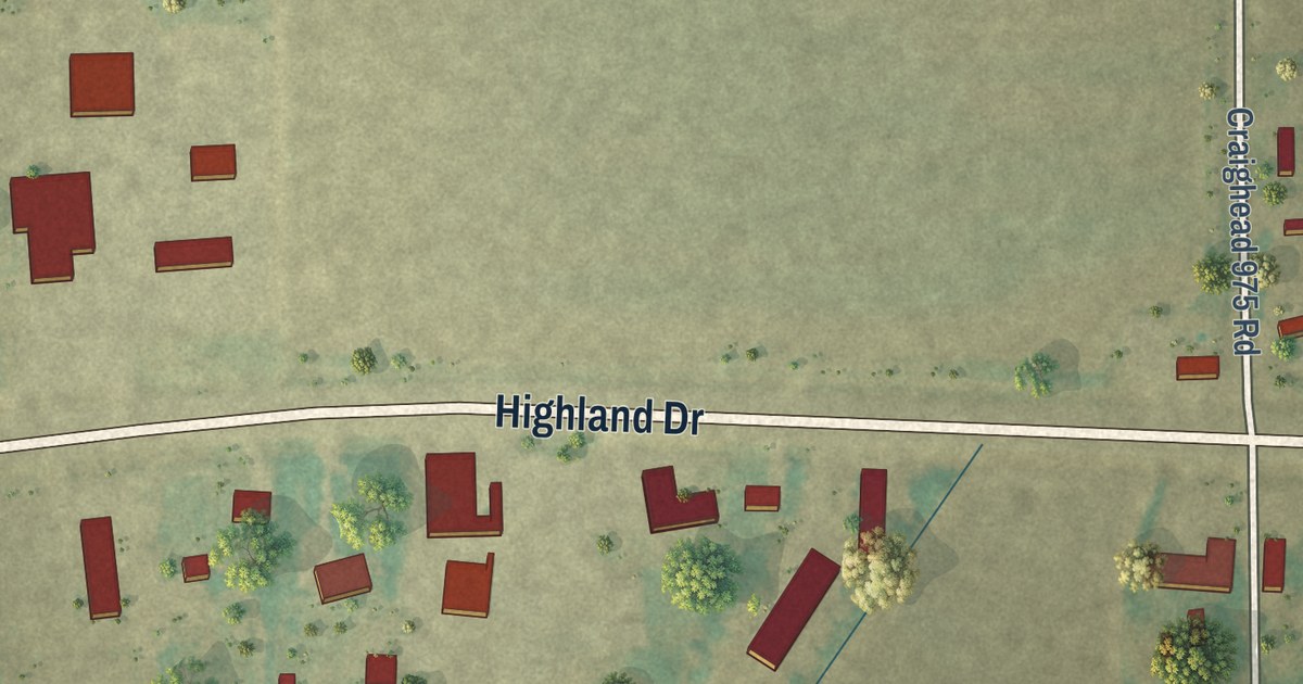
A detailed map of Bowman, Arkansas, showing every building in its true location, the roads by name, and shaded topographical relief.
Read More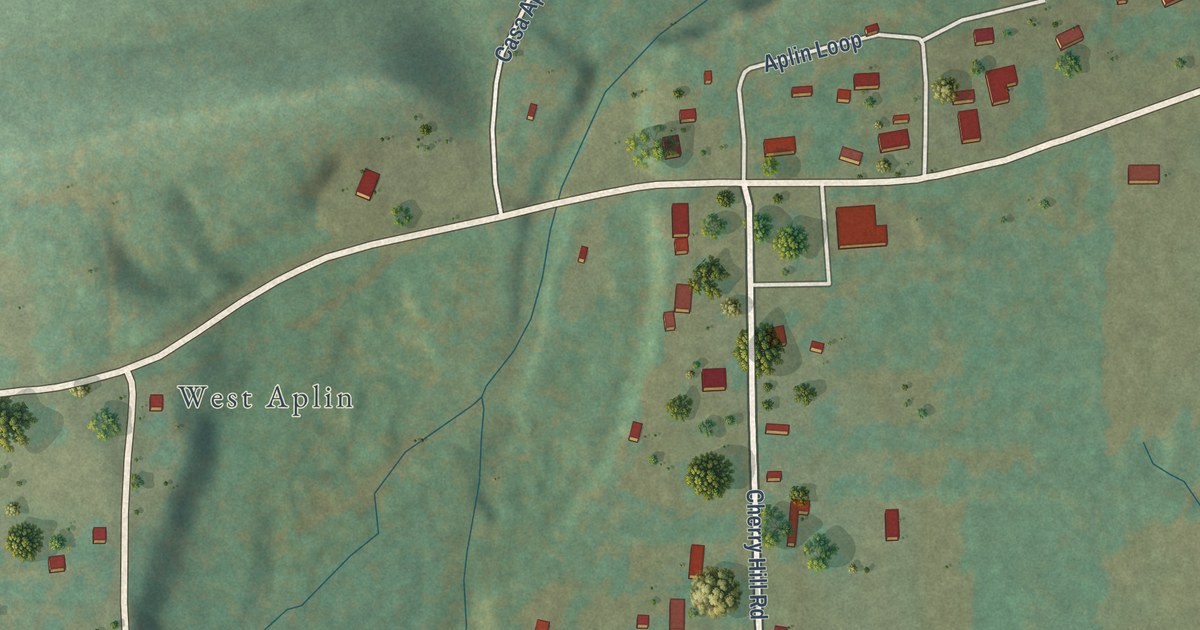
A detailed map of Aplin, Arkansas, showing every building in its true location, the roads by name, and shaded topographical relief.
Read More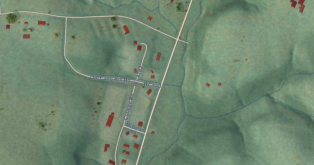
A detailed map of Canehill, Arkansas, showing every building in its true location, the roads by name, and shaded topographical relief.
Read More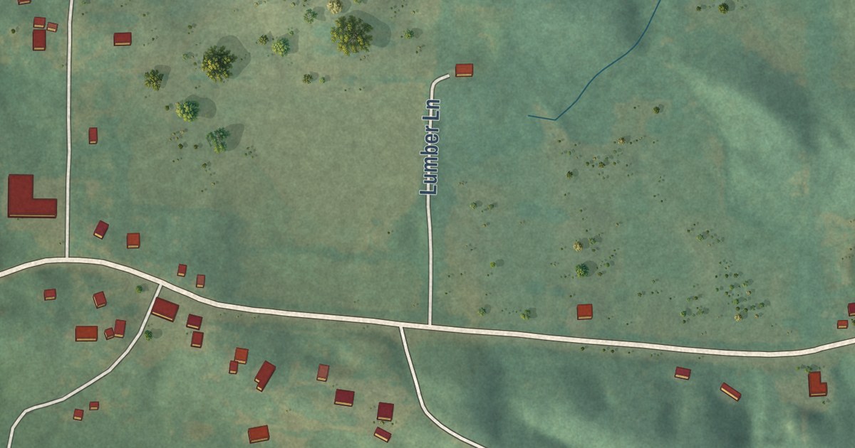
A detailed map of Board Camp, Arkansas, showing every building in its true location, the roads by name, and shaded topographical relief.
Read More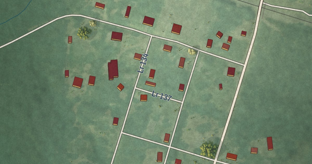
A detailed map of Alleene, Arkansas, showing every building in its true location, the roads by name, and shaded topographical relief.
Read More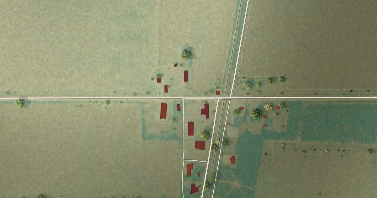
A detailed map of Fair Oaks, Arkansas, showing every building in its true location, the roads by name, and shaded topographical relief.
Read More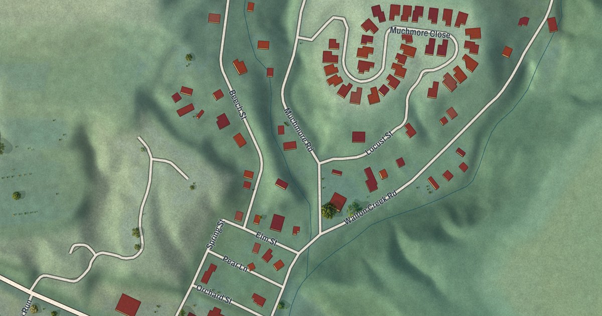
A detailed map of Plainville, Ohio, showing every building in its true location, the roads by name, and shaded topographical relief.
Read More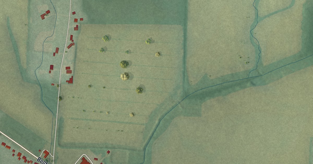
A detailed map of Westminster, Ohio, showing every building in its true location, the roads by name, and shaded topographical relief.
Read More
A detailed map of Vickery, Ohio, showing every building in its true location, the roads by name, and shaded topographical relief.
Read More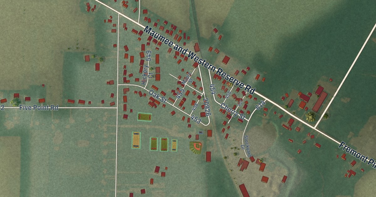
A detailed map of Stony Ridge, Ohio, showing every building in its true location, the roads by name, and shaded topographical relief.
Read More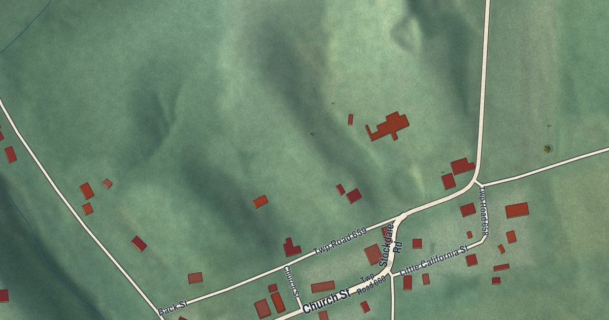
A detailed map of Stockdale, Ohio, showing every building in its true location, the roads by name, and shaded topographical relief.
Read More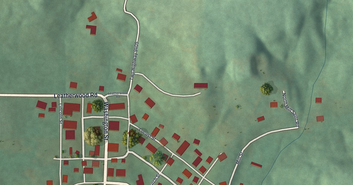
A detailed map of Salesville, Ohio, showing every building in its true location, the roads by name, and shaded topographical relief.
Read More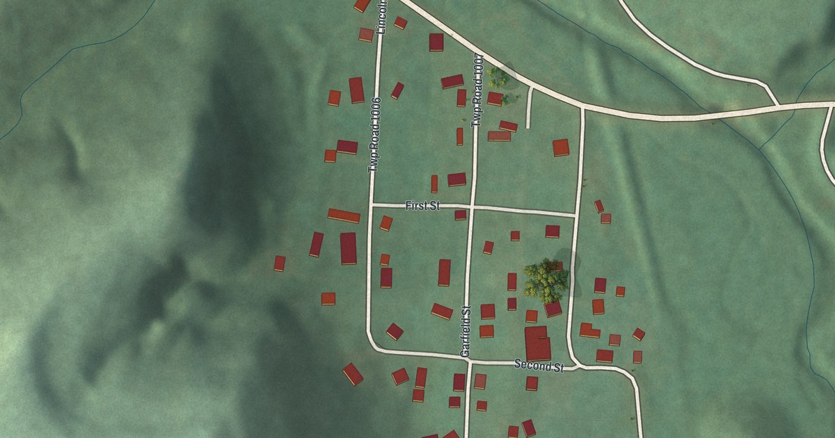
A detailed map of Rose Farm, Ohio, showing every building in its true location, the roads by name, and shaded topographical relief.
Read More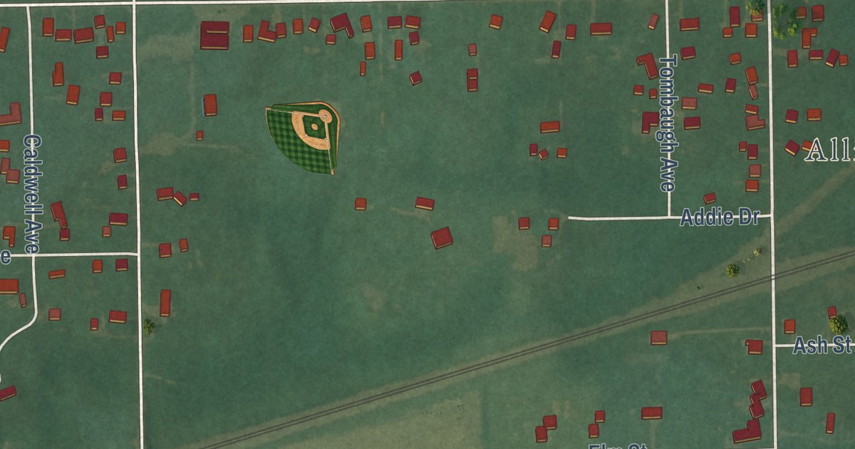
A detailed map of Maple Ridge, Ohio, showing every building in its true location, the roads by name, and shaded topographical relief.
Read More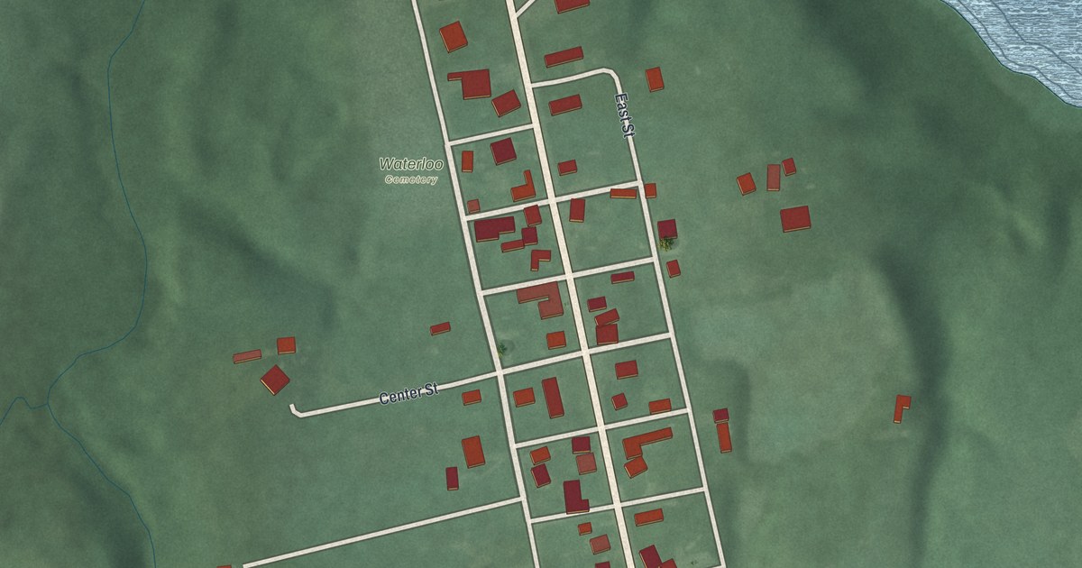
A detailed map of Pancoastburg, Ohio, showing every building in its true location, the roads by name, and shaded topographical relief.
Read More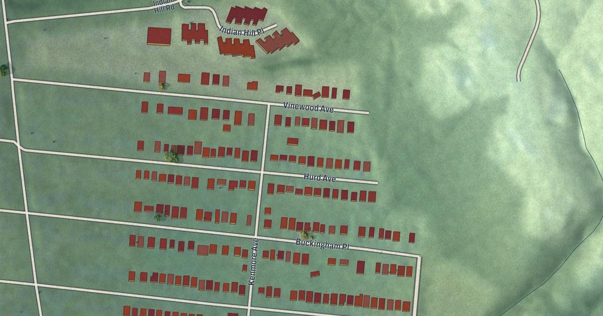
A detailed map of Madison Place, Ohio, showing every building in its true location, the roads by name, and shaded topographical relief.
Read More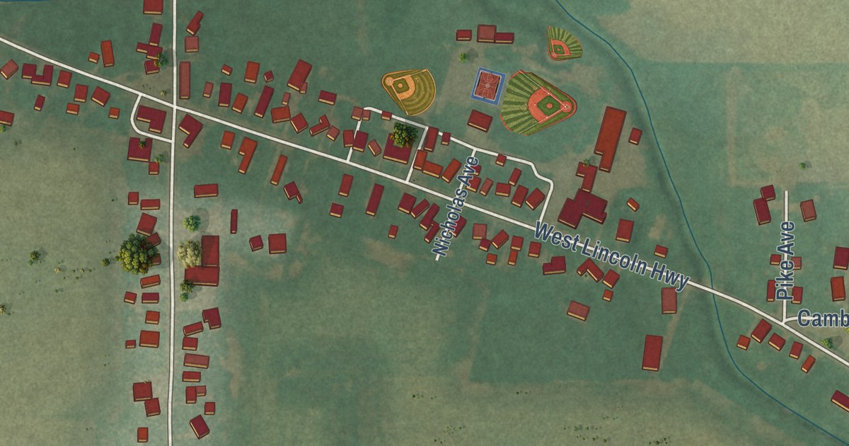
A detailed map of Gomer, Ohio, showing every building in its true location, the roads by name, and shaded topographical relief.
Read More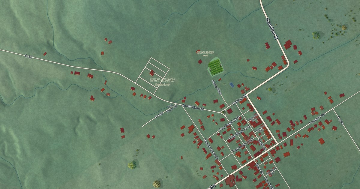
A detailed map of East Liberty, Ohio, showing every building in its true location, the roads by name, and shaded topographical relief.
Read More















