Detailed Map of Del Sol, Texas
A detailed map of Del Sol, Texas, showing every building in its true location, the roads by name, and shaded topographical relief.
Read More
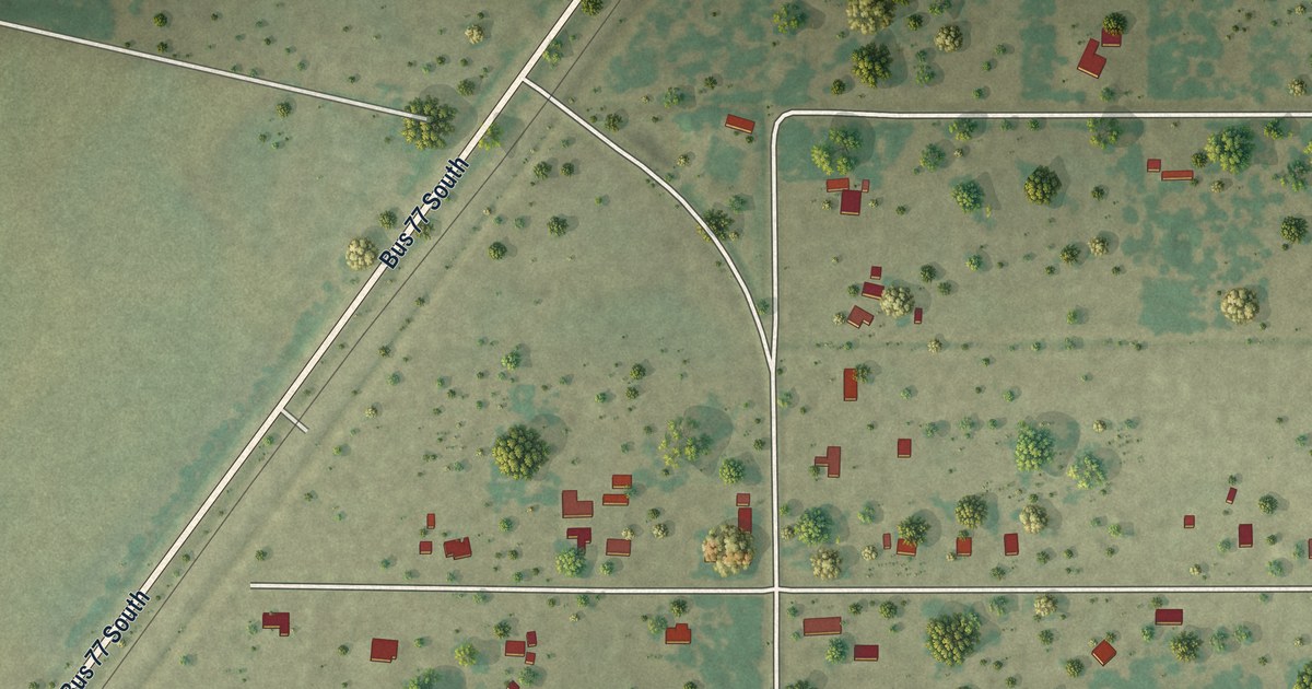
A detailed map of Del Sol, Texas, showing every building in its true location, the roads by name, and shaded topographical relief.
Read More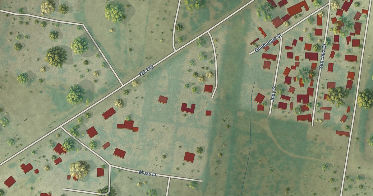
A detailed map of El Rancho Vela, Texas, showing every building in its true location, the roads by name, and shaded topographical relief.
Read More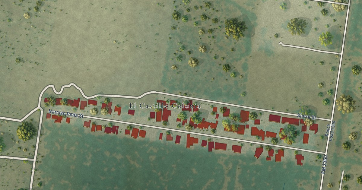
A detailed map of El Castillo, Texas, showing every building in its true location, the roads by name, and shaded topographical relief.
Read More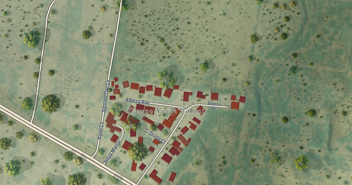
A detailed map of Campo Verde, Texas, showing every building in its true location, the roads by name, and shaded topographical relief.
Read More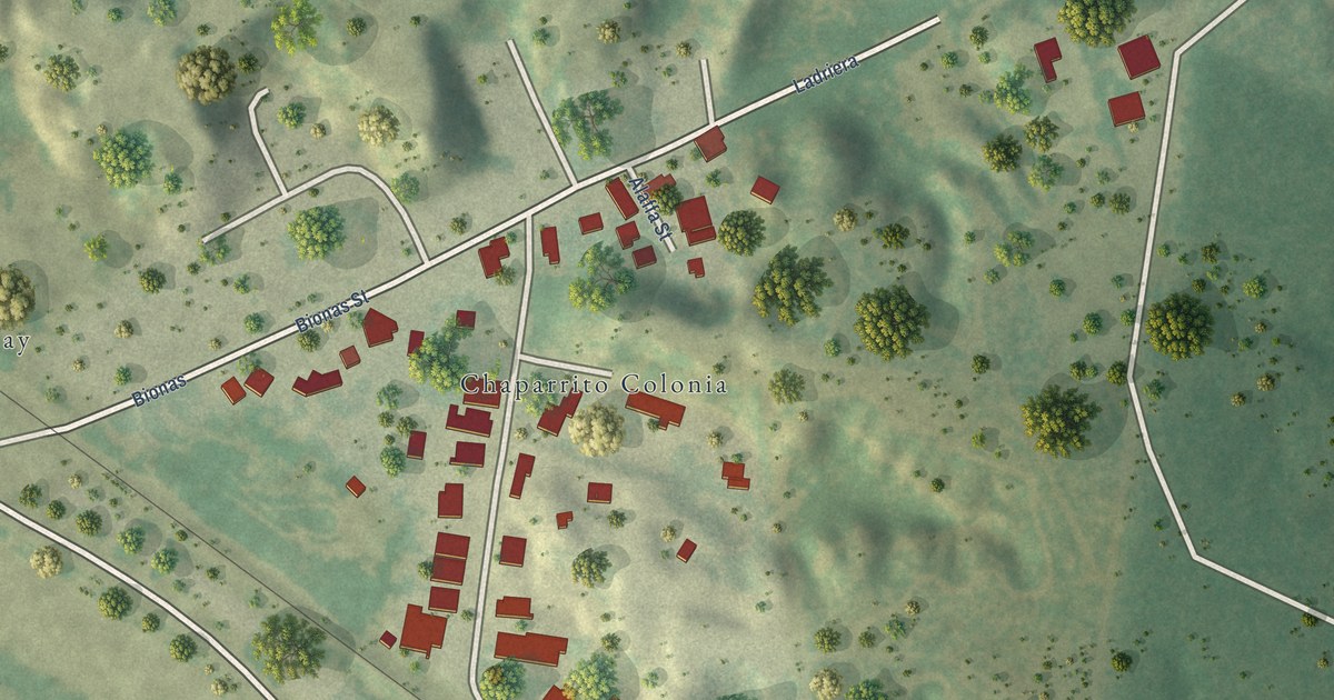
A detailed map of Chaparrito, Texas, showing every building in its true location, the roads by name, and shaded topographical relief.
Read More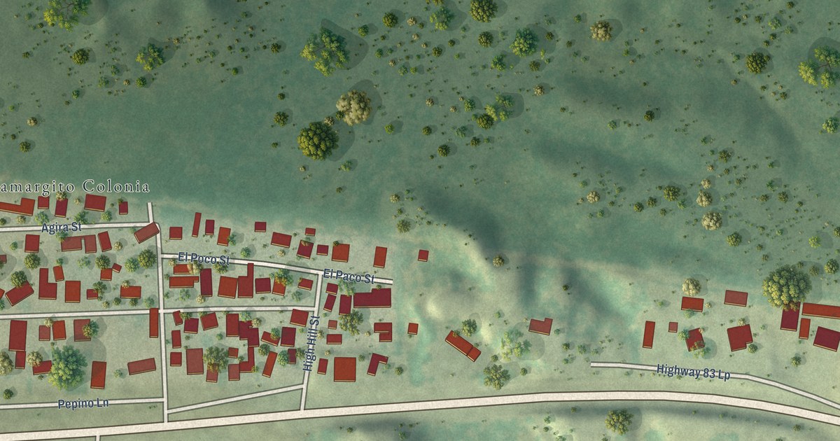
A detailed map of Camargito, Texas, showing every building in its true location, the roads by name, and shaded topographical relief.
Read More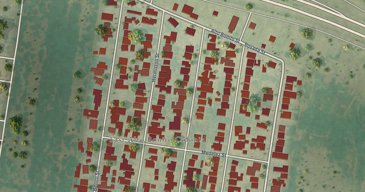
A detailed map of East Alto Bonito, Texas, showing every building in its true location, the roads by name, and shaded topographical relief.
Read More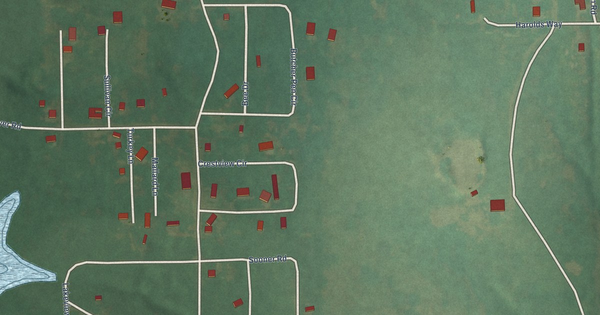
A detailed map of Bee, Oklahoma, showing every building in its true location, the roads by name, and shaded topographical relief.
Read More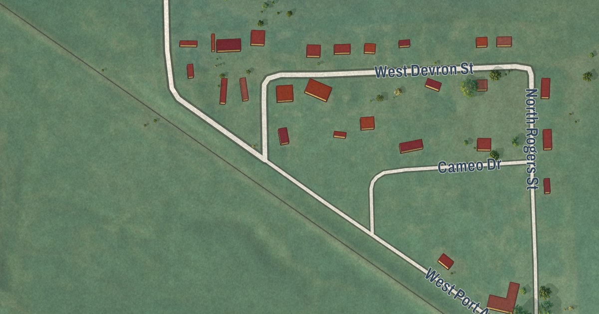
A detailed map of Badger Lee, Oklahoma, showing every building in its true location, the roads by name, and shaded topographical relief.
Read More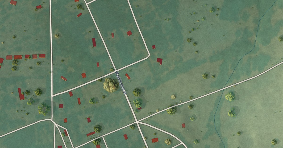
A detailed map of Blanco, Oklahoma, showing every building in its true location, the roads by name, and shaded topographical relief.
Read More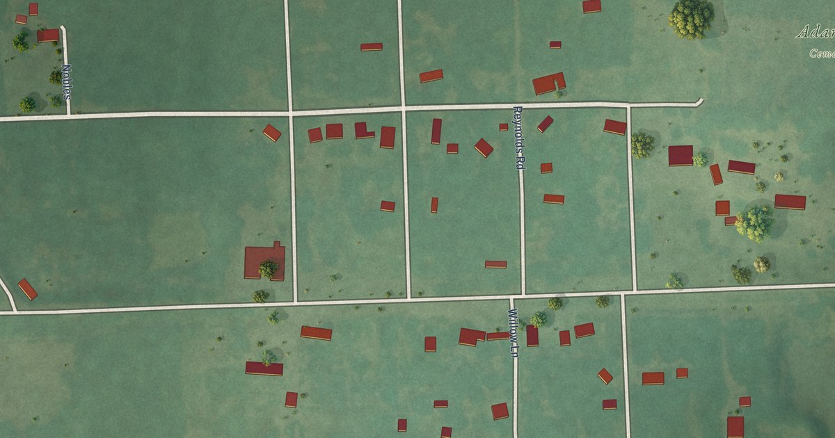
A detailed map of Adamson, Oklahoma, showing every building in its true location, the roads by name, and shaded topographical relief.
Read More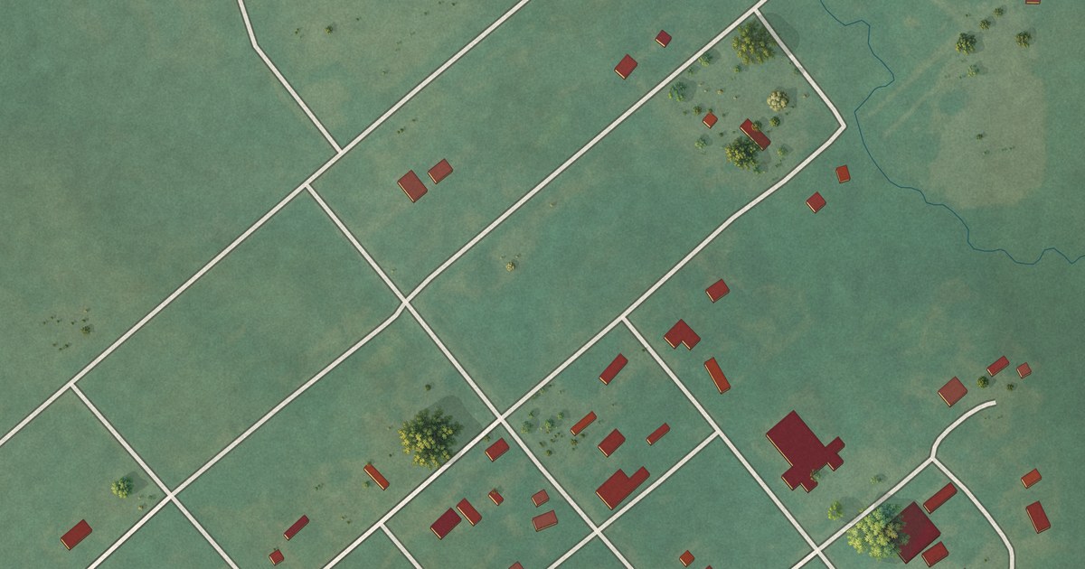
A detailed map of Bowring, Oklahoma, showing every building in its true location, the roads by name, and shaded topographical relief.
Read More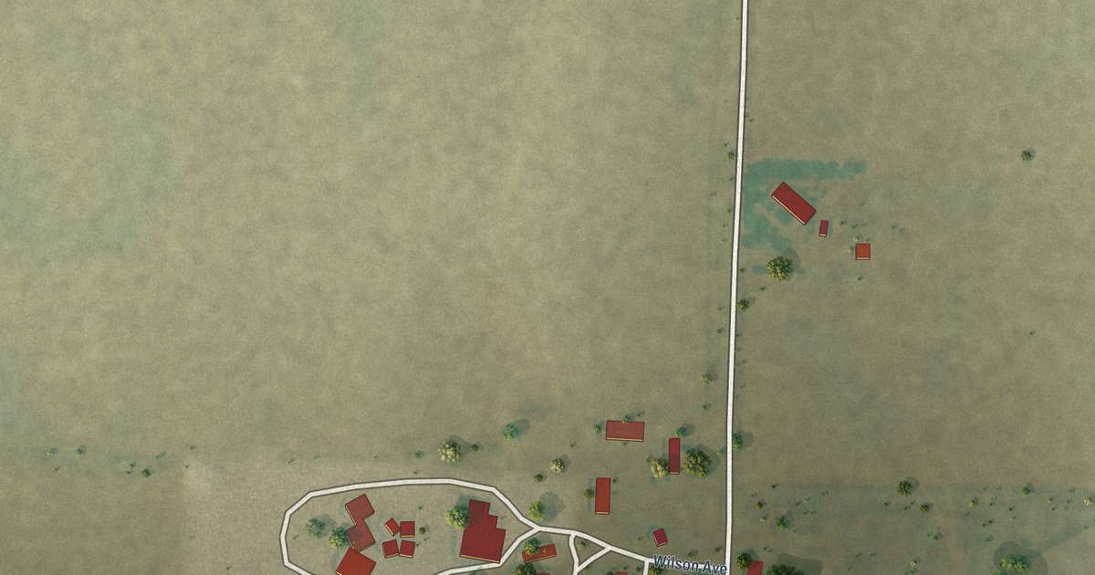
A detailed map of Baker, Oklahoma, showing every building in its true location, the roads by name, and shaded topographical relief.
Read More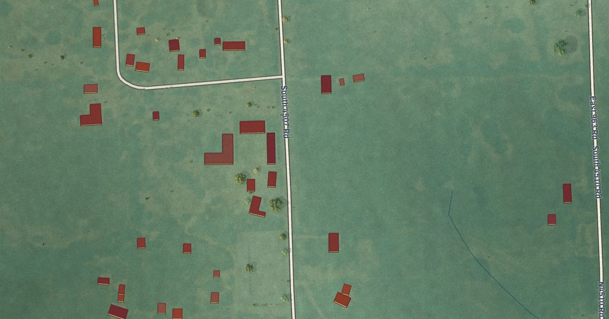
A detailed map of Blackgum, Oklahoma, showing every building in its true location, the roads by name, and shaded topographical relief.
Read More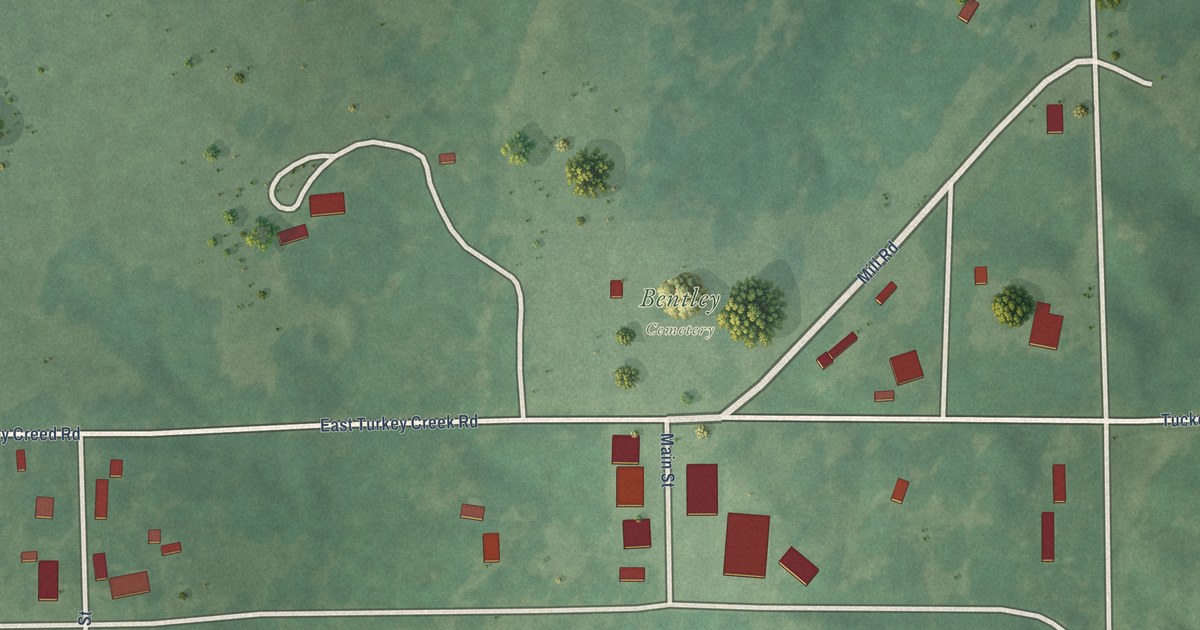
A detailed map of Bentley, Oklahoma, showing every building in its true location, the roads by name, and shaded topographical relief.
Read More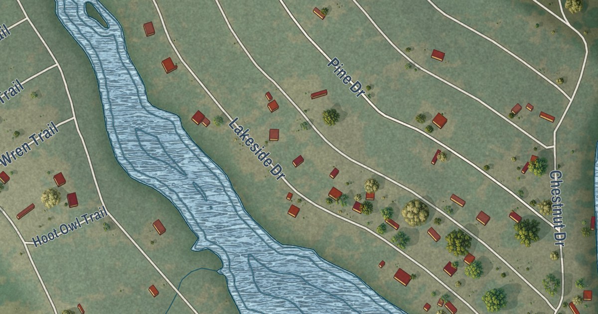
A detailed map of Cade Lakes, Texas, showing every building in its true location, the roads by name, and shaded topographical relief.
Read More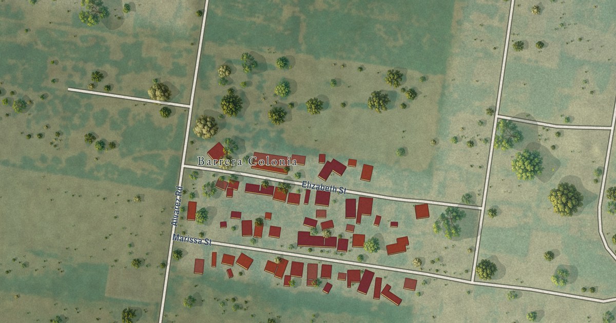
A detailed map of Barrera, Texas, showing every building in its true location, the roads by name, and shaded topographical relief.
Read More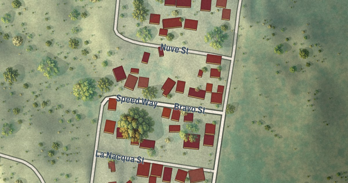
A detailed map of B and E, Texas, showing every building in its true location, the roads by name, and shaded topographical relief.
Read More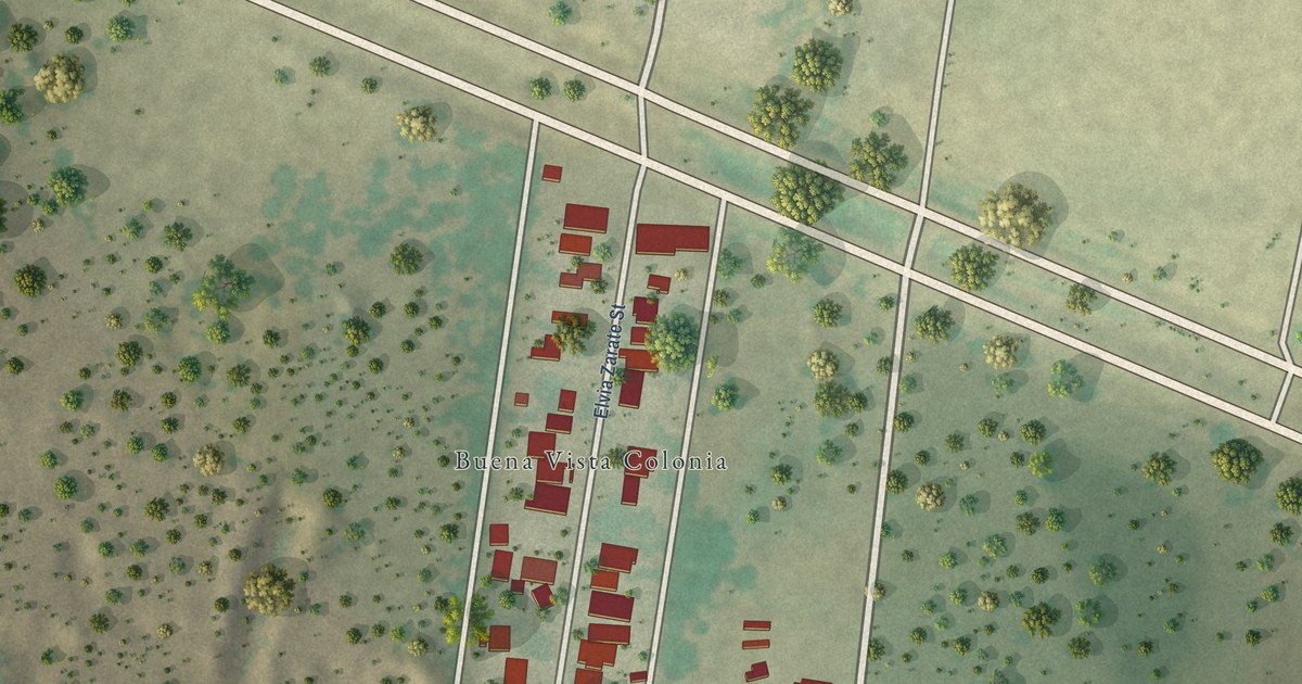
A detailed map of Buena Vista, Texas, showing every building in its true location, the roads by name, and shaded topographical relief.
Read More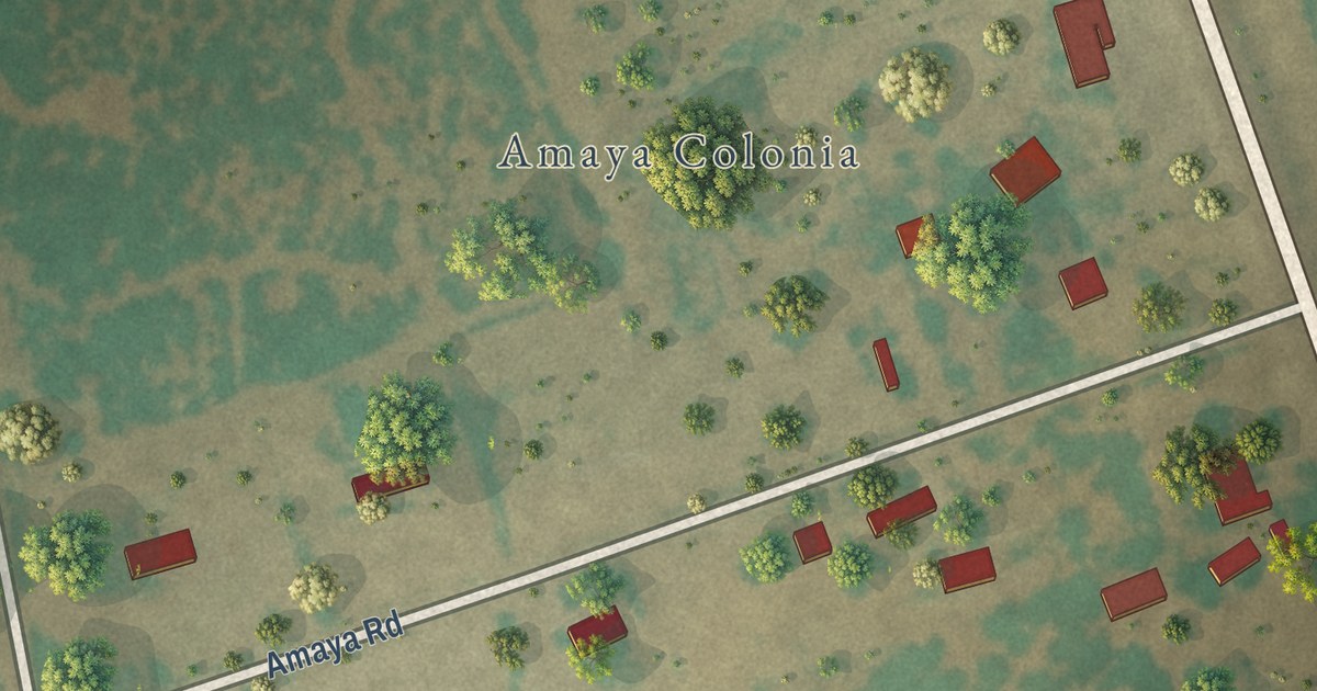
A detailed map of Amaya, Texas, showing every building in its true location, the roads by name, and shaded topographical relief.
Read More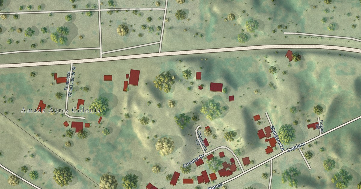
A detailed map of Amada Acres, Texas, showing every building in its true location, the roads by name, and shaded topographical relief.
Read More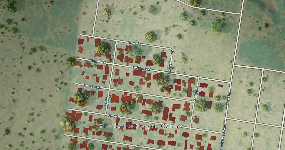
A detailed map of Alto Bonito Heights, Texas, showing every building in its true location, the roads by name, and shaded topographical relief.
Read More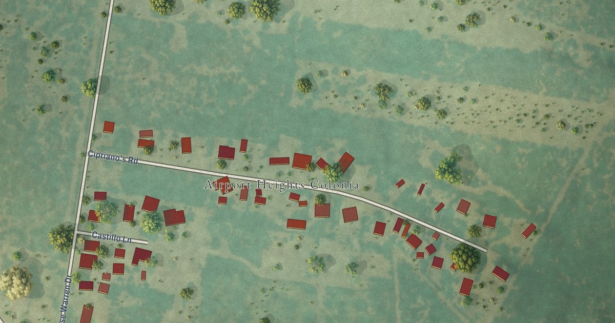
A detailed map of Airport Heights, Texas, showing every building in its true location, the roads by name, and shaded topographical relief.
Read More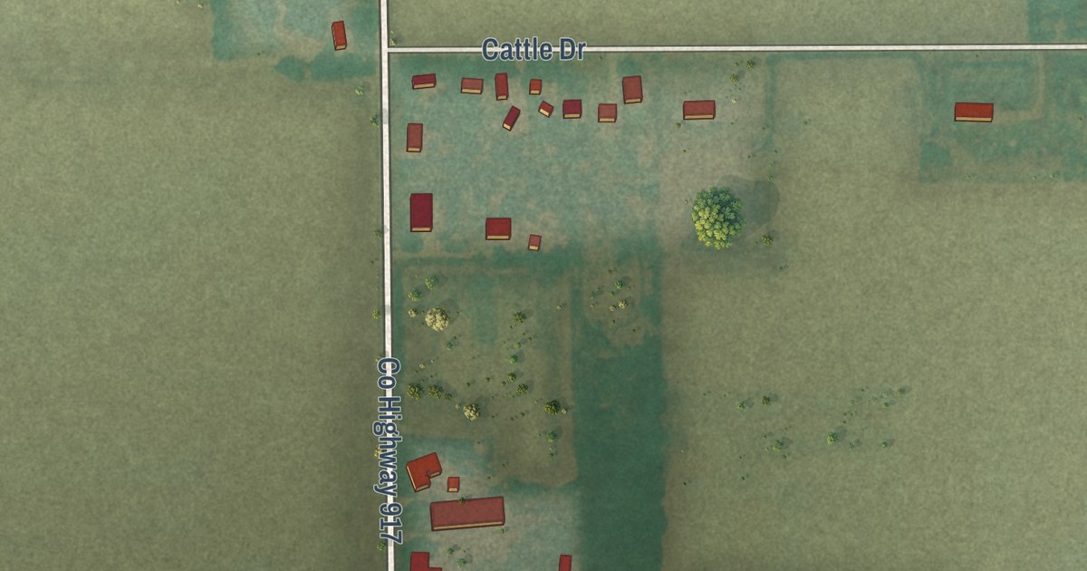
A detailed map of Zeandale, Kansas, showing every building in its true location, the roads by name, and shaded topographical relief.
Read More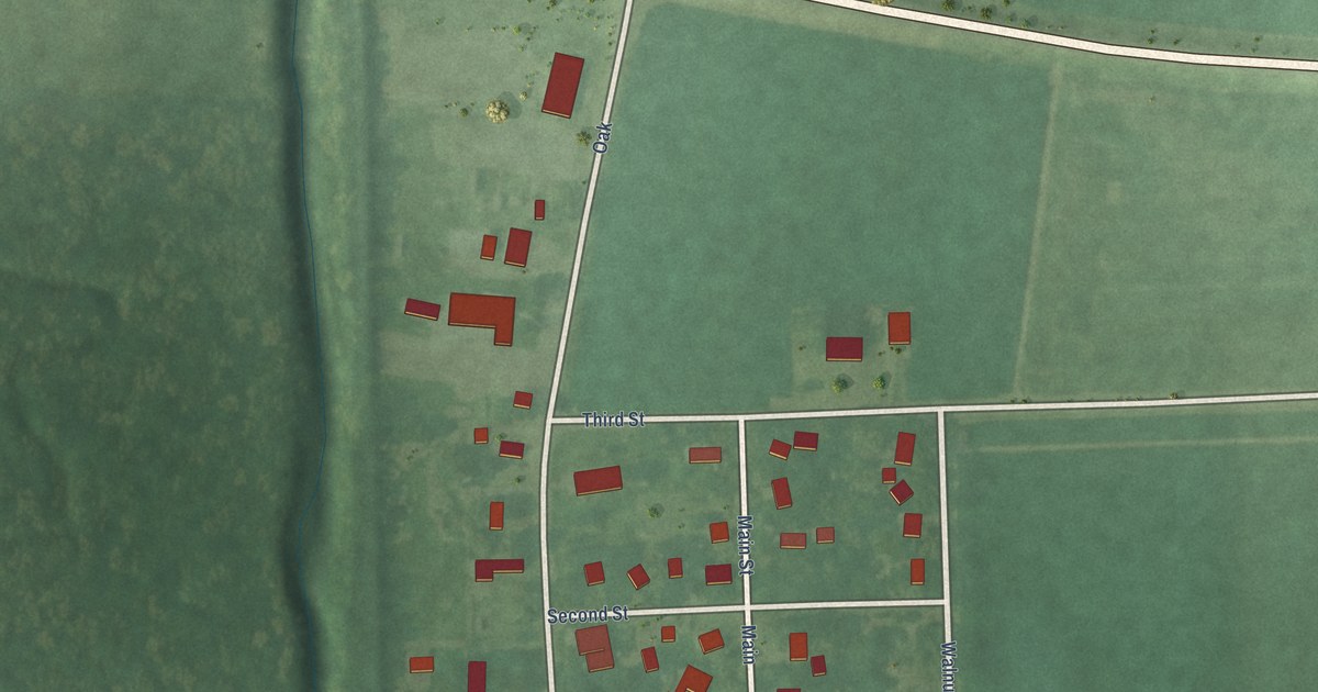
A detailed map of Williamstown, Kansas, showing every building in its true location, the roads by name, and shaded topographical relief.
Read More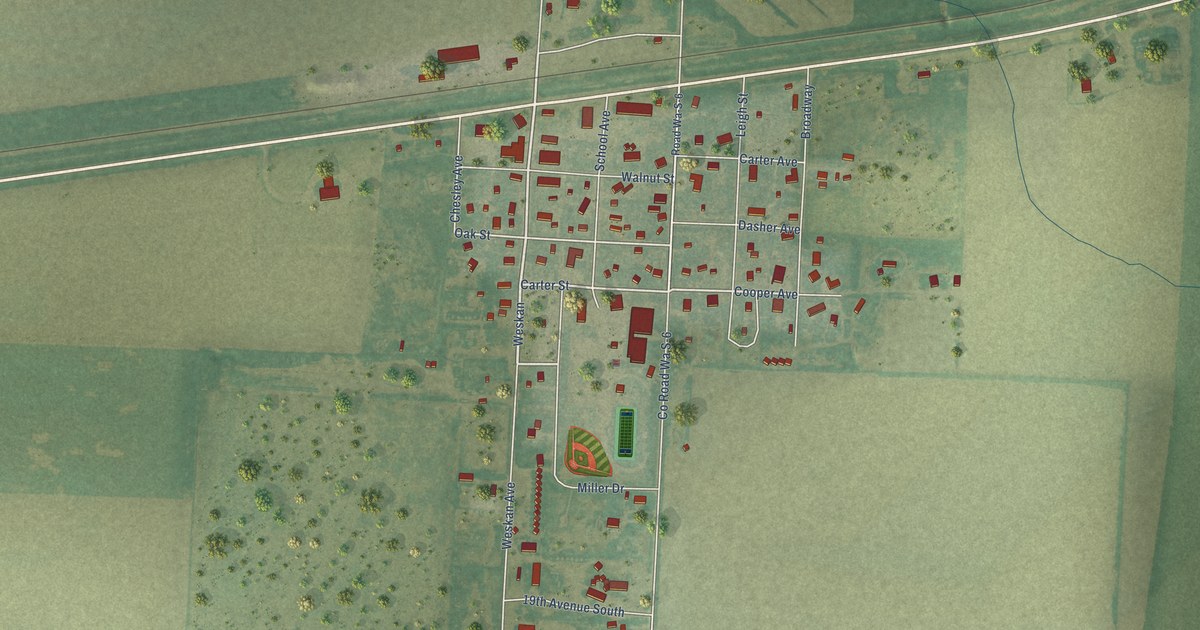
A detailed map of Weskan, Kansas, showing every building in its true location, the roads by name, and shaded topographical relief.
Read More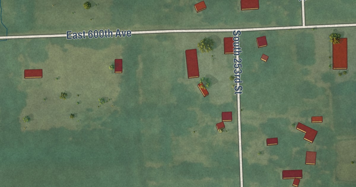
A detailed map of Yale, Kansas, showing every building in its true location, the roads by name, and shaded topographical relief.
Read More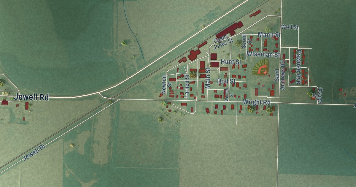
A detailed map of Wright, Kansas, showing every building in its true location, the roads by name, and shaded topographical relief.
Read More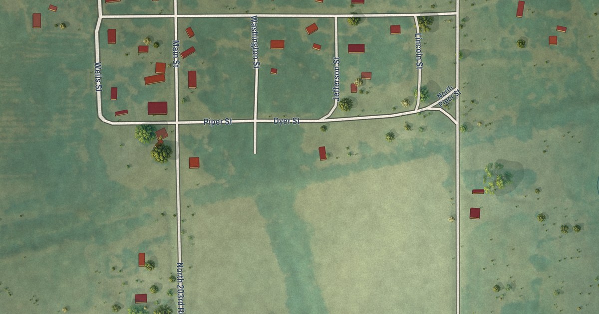
A detailed map of Wells, Kansas, showing every building in its true location, the roads by name, and shaded topographical relief.
Read More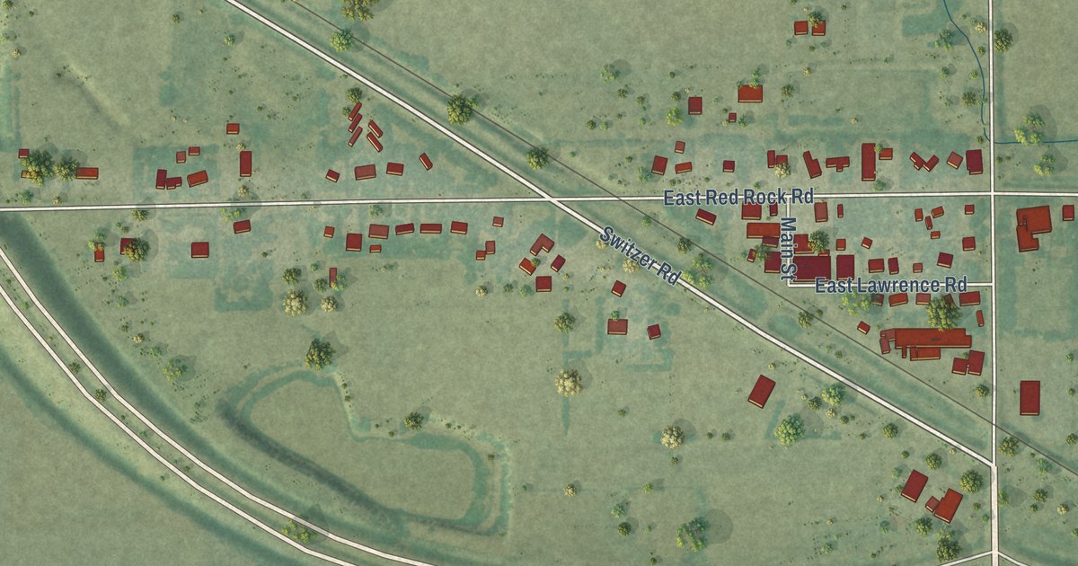
A detailed map of Yoder, Kansas, showing every building in its true location, the roads by name, and shaded topographical relief.
Read More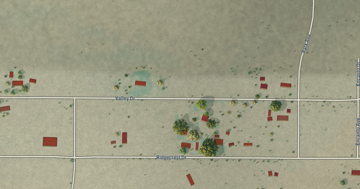
A detailed map of Windmill, New Mexico, showing every building in its true location, the roads by name, and shaded topographical relief.
Read More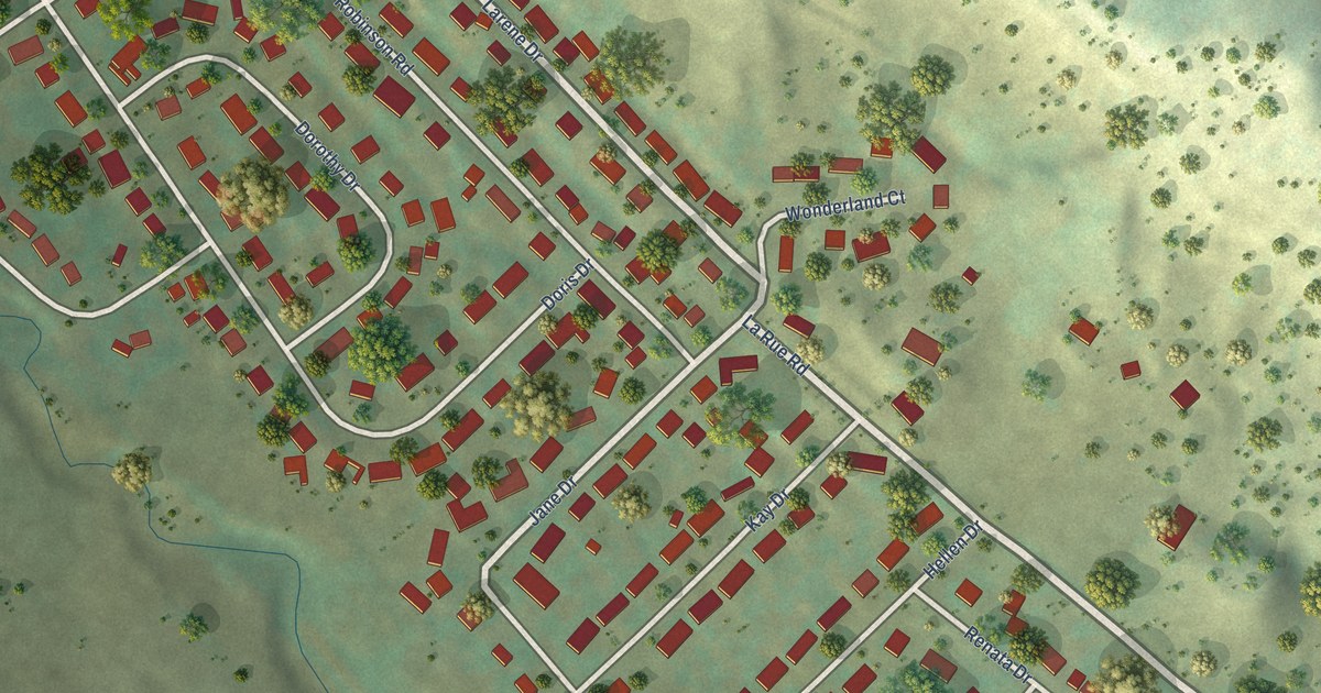
A detailed map of Wonderland Homes, South Dakota, showing every building in its true location, the roads by name, and shaded topographical relief.
Read More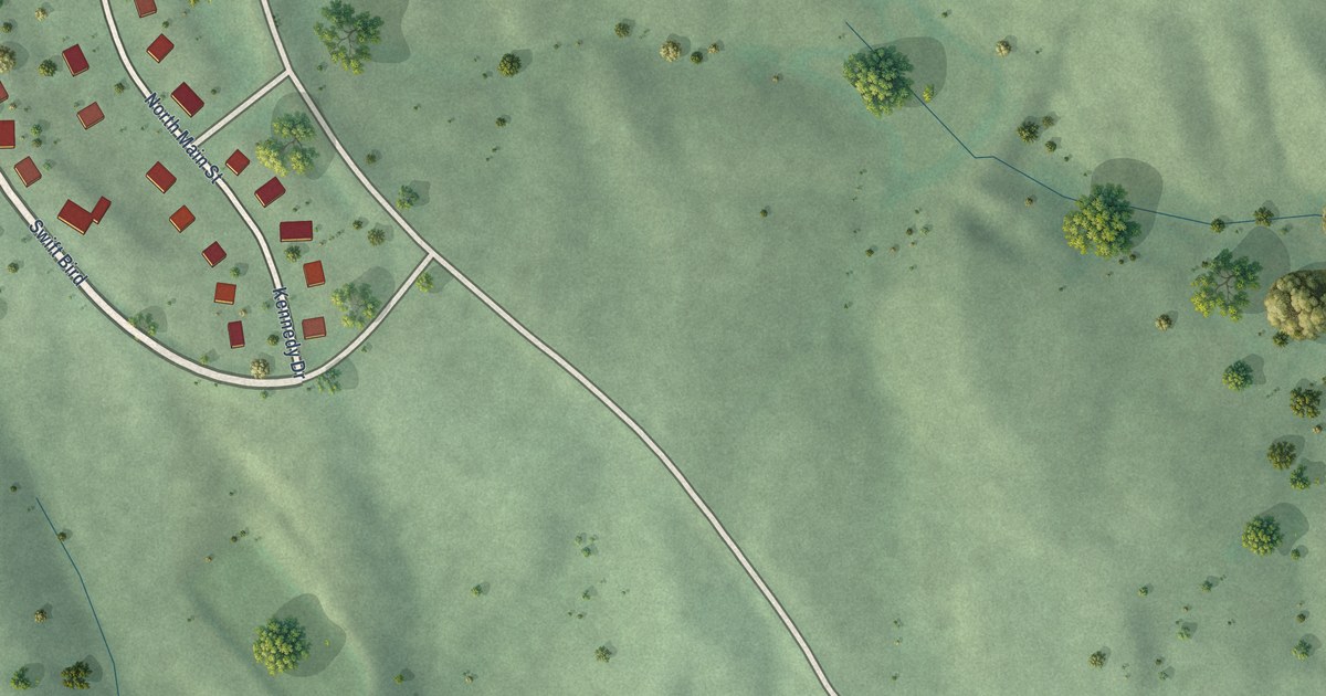
A detailed map of Swift Bird, South Dakota, showing every building in its true location, the roads by name, and shaded topographical relief.
Read More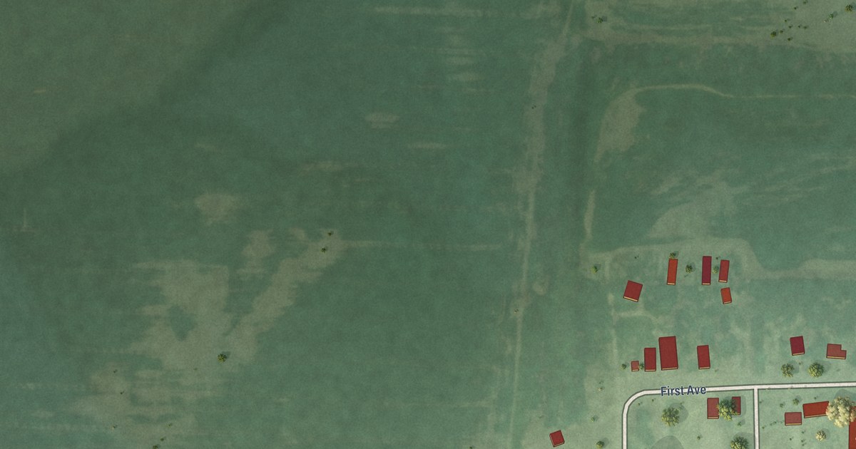
A detailed map of Waverly, South Dakota, showing every building in its true location, the roads by name, and shaded topographical relief.
Read More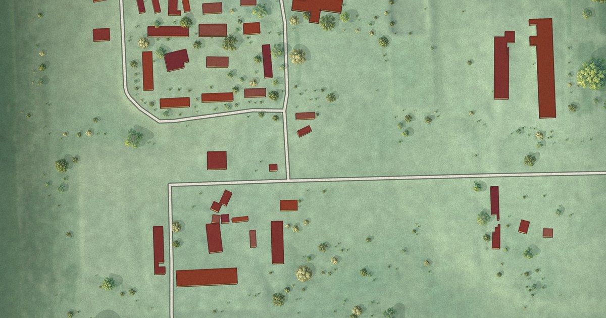
A detailed map of Spring Lake Colony, South Dakota, showing every building in its true location, the roads by name, and shaded topographical relief.
Read More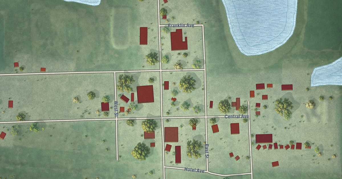
A detailed map of Winfred, South Dakota, showing every building in its true location, the roads by name, and shaded topographical relief.
Read More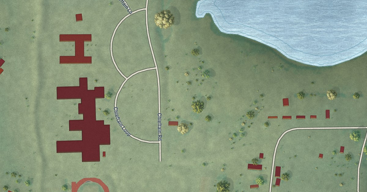
A detailed map of Stephan, South Dakota, showing every building in its true location, the roads by name, and shaded topographical relief.
Read More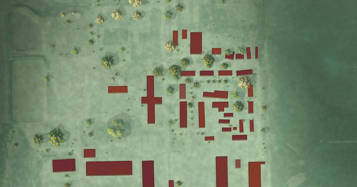
A detailed map of Sunset Colony, South Dakota, showing every building in its true location, the roads by name, and shaded topographical relief.
Read More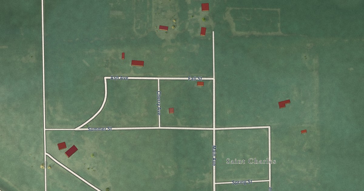
A detailed map of St. Charles, South Dakota, showing every building in its true location, the roads by name, and shaded topographical relief.
Read More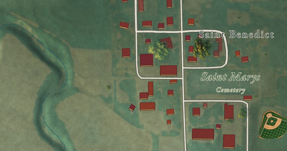
A detailed map of St. Benedict, Kansas, showing every building in its true location, the roads by name, and shaded topographical relief.
Read More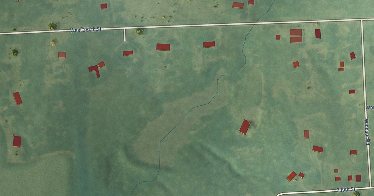
A detailed map of Somerset, Kansas, showing every building in its true location, the roads by name, and shaded topographical relief.
Read More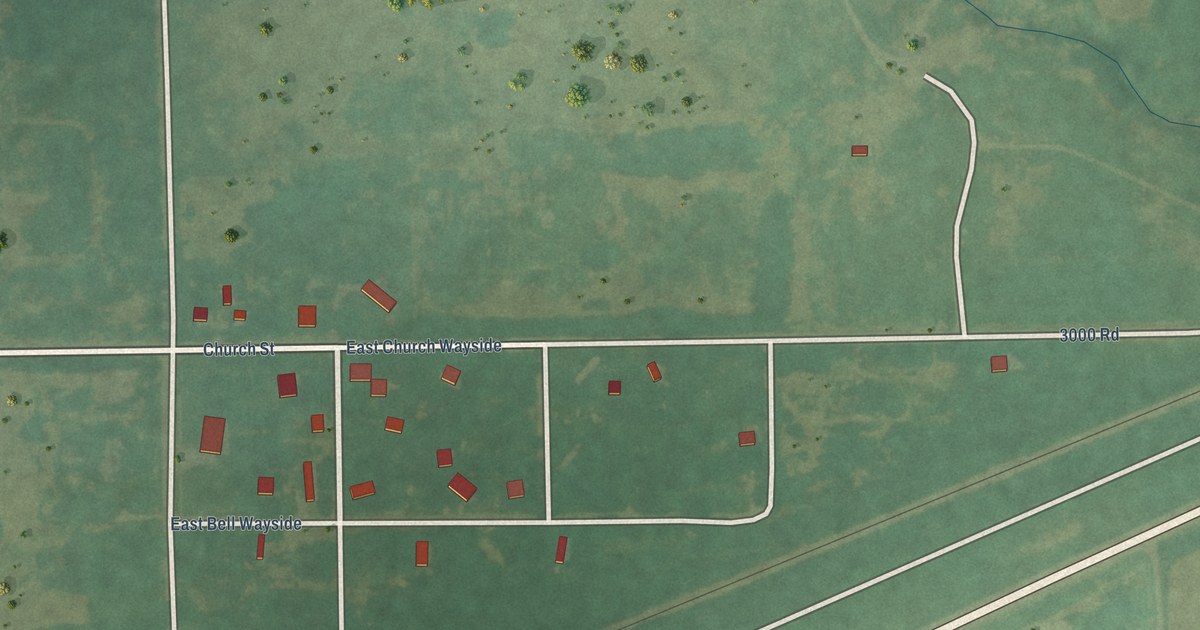
A detailed map of Wayside, Kansas, showing every building in its true location, the roads by name, and shaded topographical relief.
Read More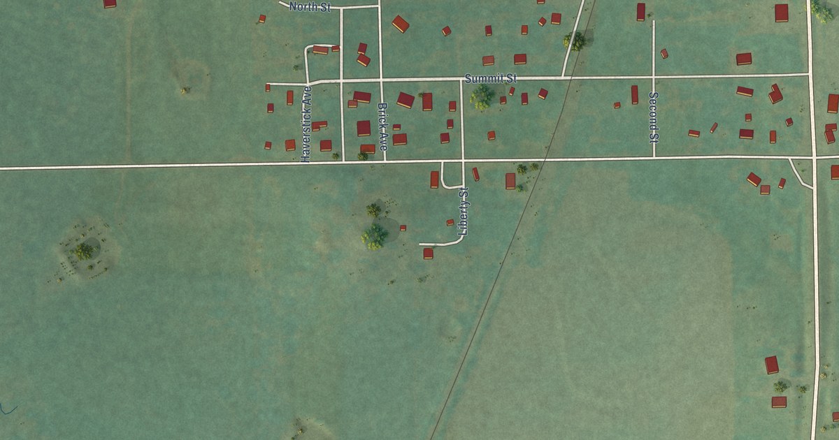
A detailed map of Sycamore, Kansas, showing every building in its true location, the roads by name, and shaded topographical relief.
Read More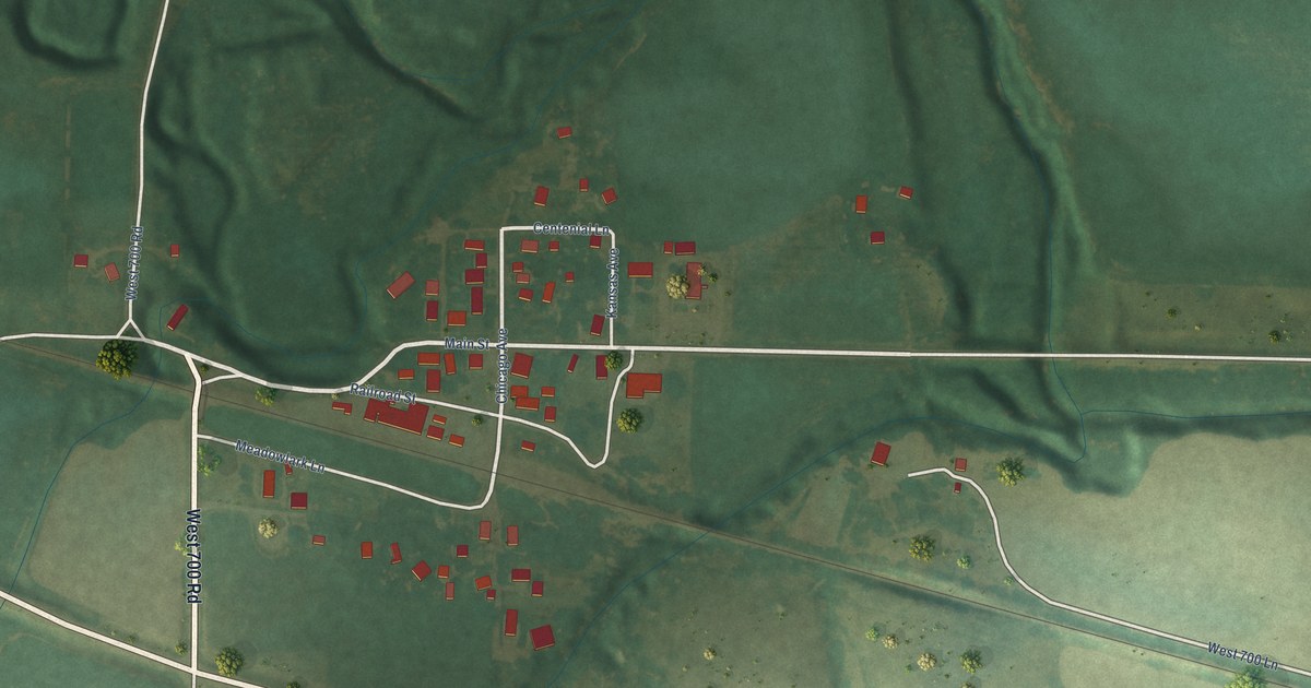
A detailed map of Stuttgart, Kansas, showing every building in its true location, the roads by name, and shaded topographical relief.
Read More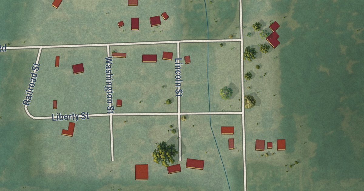
A detailed map of South Mound, Kansas, showing every building in its true location, the roads by name, and shaded topographical relief.
Read More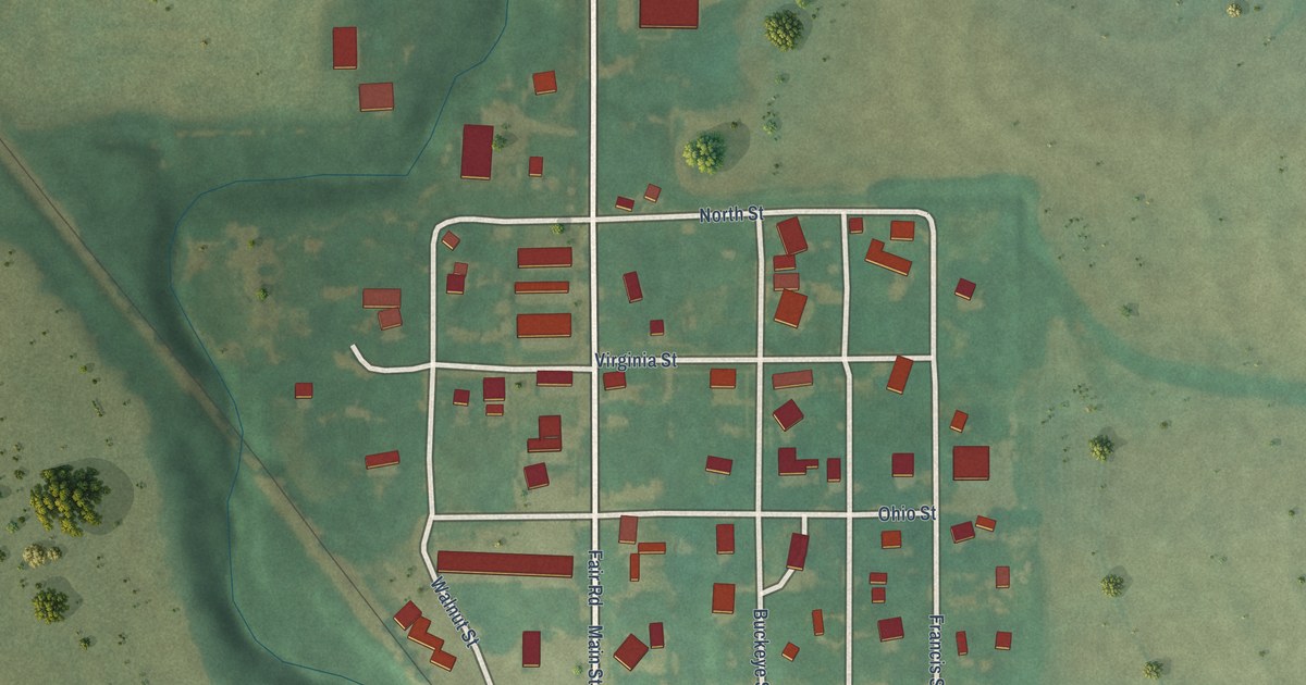
A detailed map of Talmage, Kansas, showing every building in its true location, the roads by name, and shaded topographical relief.
Read More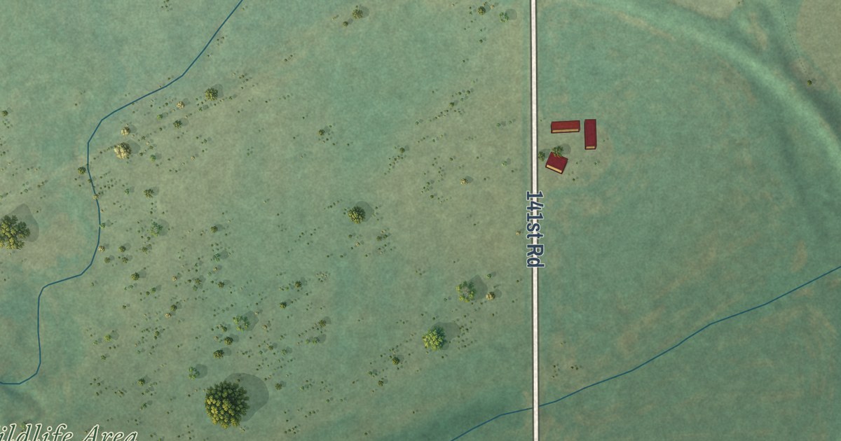
A detailed map of Silverdale, Kansas, showing every building in its true location, the roads by name, and shaded topographical relief.
Read More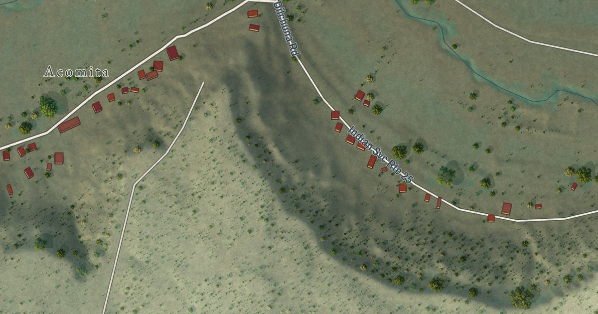
A detailed map of South Acomita Village, New Mexico, showing every building in its true location, the roads by name, and shaded topographical relief.
Read More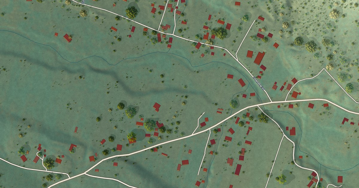
A detailed map of Vadito, New Mexico, showing every building in its true location, the roads by name, and shaded topographical relief.
Read More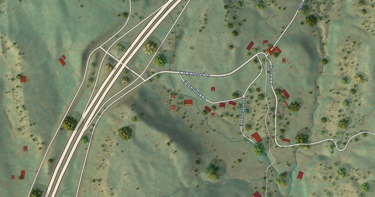
A detailed map of Valencia, New Mexico, showing every building in its true location, the roads by name, and shaded topographical relief.
Read More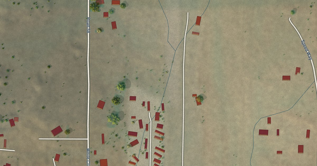
A detailed map of White Cliffs, New Mexico, showing every building in its true location, the roads by name, and shaded topographical relief.
Read More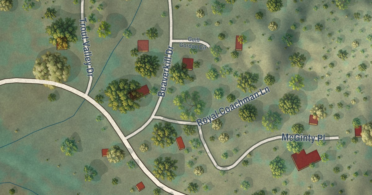
A detailed map of Trout Valley, New Mexico, showing every building in its true location, the roads by name, and shaded topographical relief.
Read More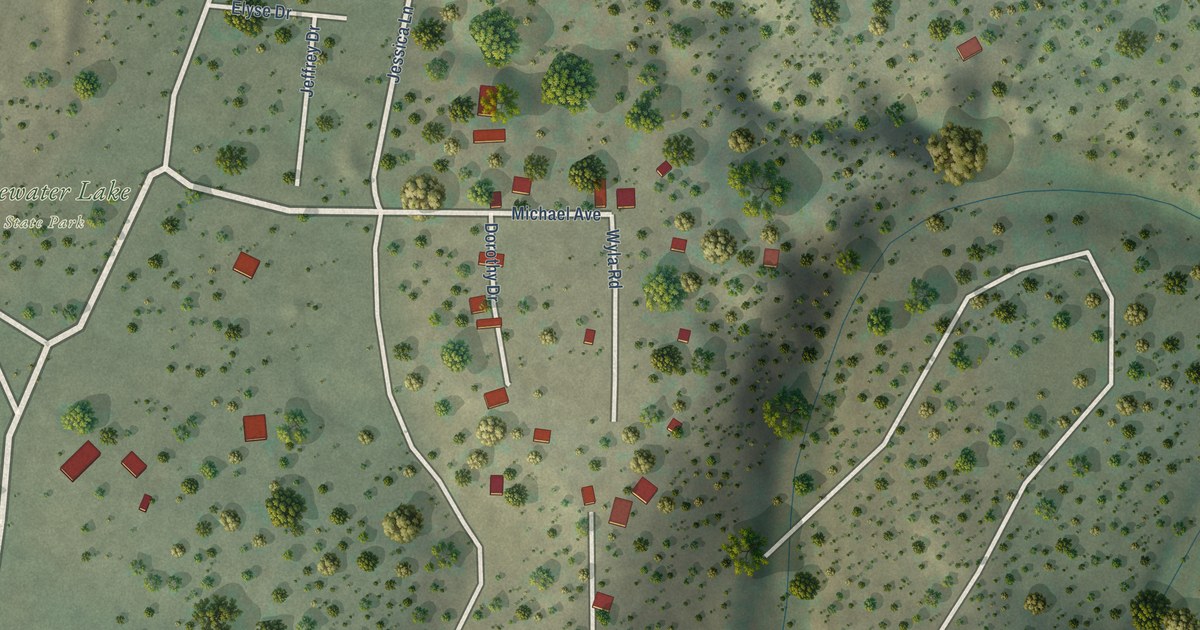
A detailed map of Stoneridge, New Mexico, showing every building in its true location, the roads by name, and shaded topographical relief.
Read More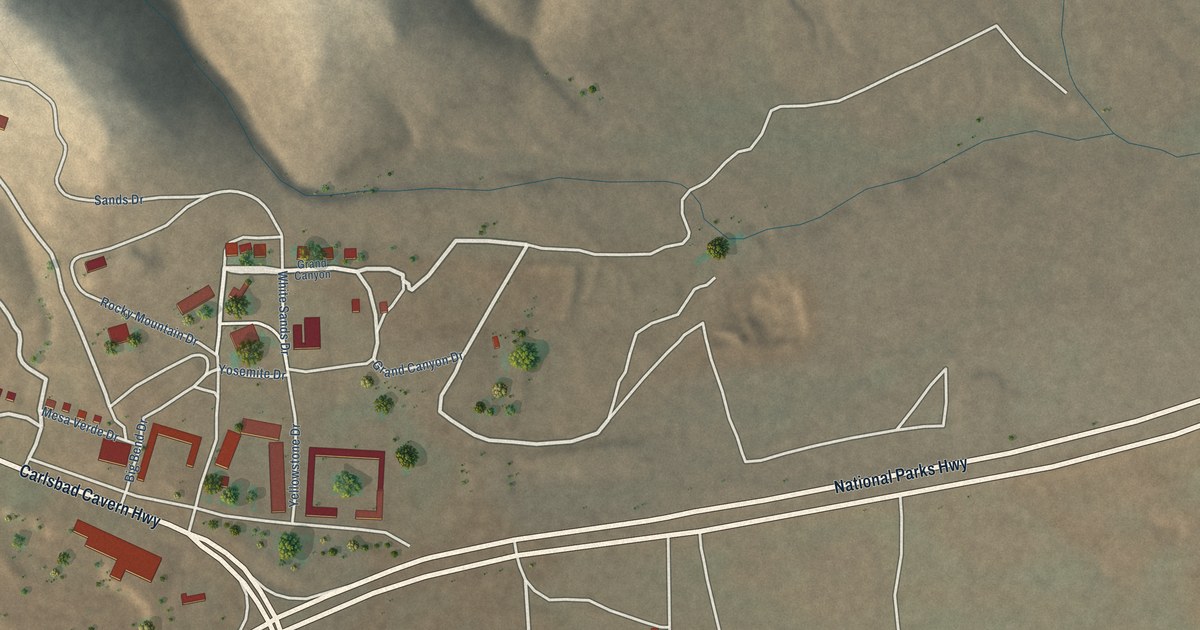
A detailed map of Whites City, New Mexico, showing every building in its true location, the roads by name, and shaded topographical relief.
Read More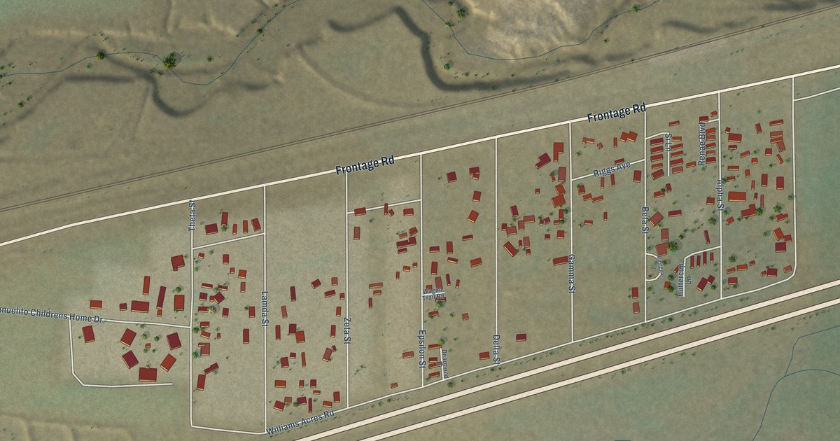
A detailed map of Williams Acres, New Mexico, showing every building in its true location, the roads by name, and shaded topographical relief.
Read More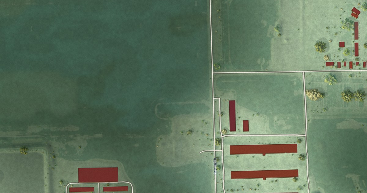
A detailed map of Shamrock Colony, South Dakota, showing every building in its true location, the roads by name, and shaded topographical relief.
Read More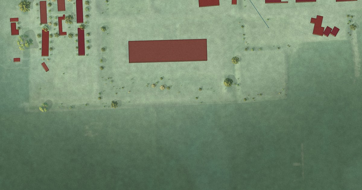
A detailed map of Rustic Acres Colony, South Dakota, showing every building in its true location, the roads by name, and shaded topographical relief.
Read More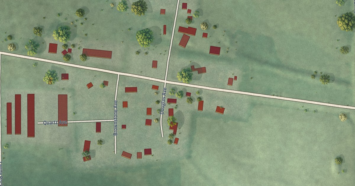
A detailed map of Rowena, South Dakota, showing every building in its true location, the roads by name, and shaded topographical relief.
Read More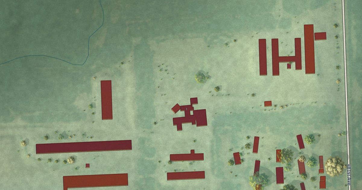
A detailed map of Rolland Colony, South Dakota, showing every building in its true location, the roads by name, and shaded topographical relief.
Read More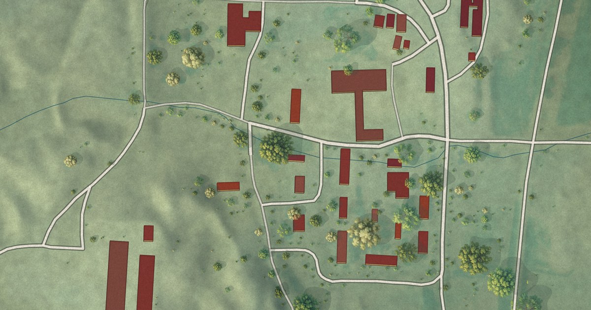
A detailed map of Rockport Colony, South Dakota, showing every building in its true location, the roads by name, and shaded topographical relief.
Read More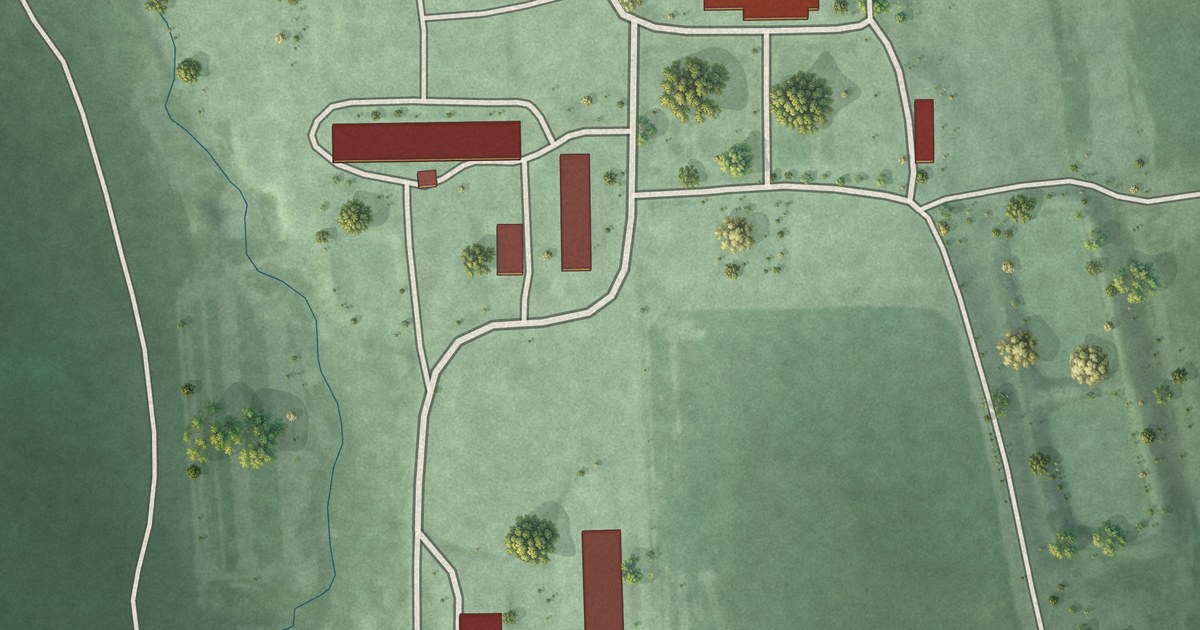
A detailed map of Riverside Colony, South Dakota, showing every building in its true location, the roads by name, and shaded topographical relief.
Read More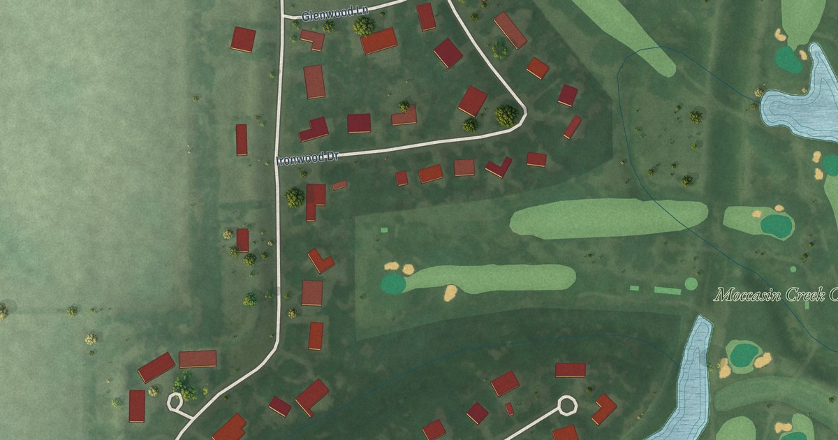
A detailed map of Prairiewood Village, South Dakota, showing every building in its true location, the roads by name, and shaded topographical relief.
Read More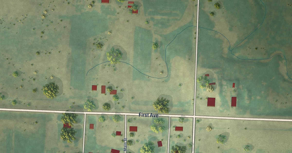
A detailed map of Prairie City, South Dakota, showing every building in its true location, the roads by name, and shaded topographical relief.
Read More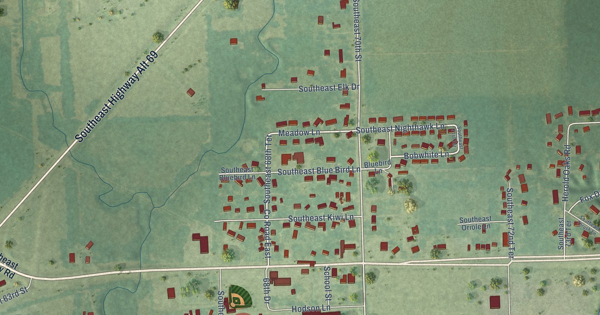
A detailed map of Riverton, Kansas, showing every building in its true location, the roads by name, and shaded topographical relief.
Read More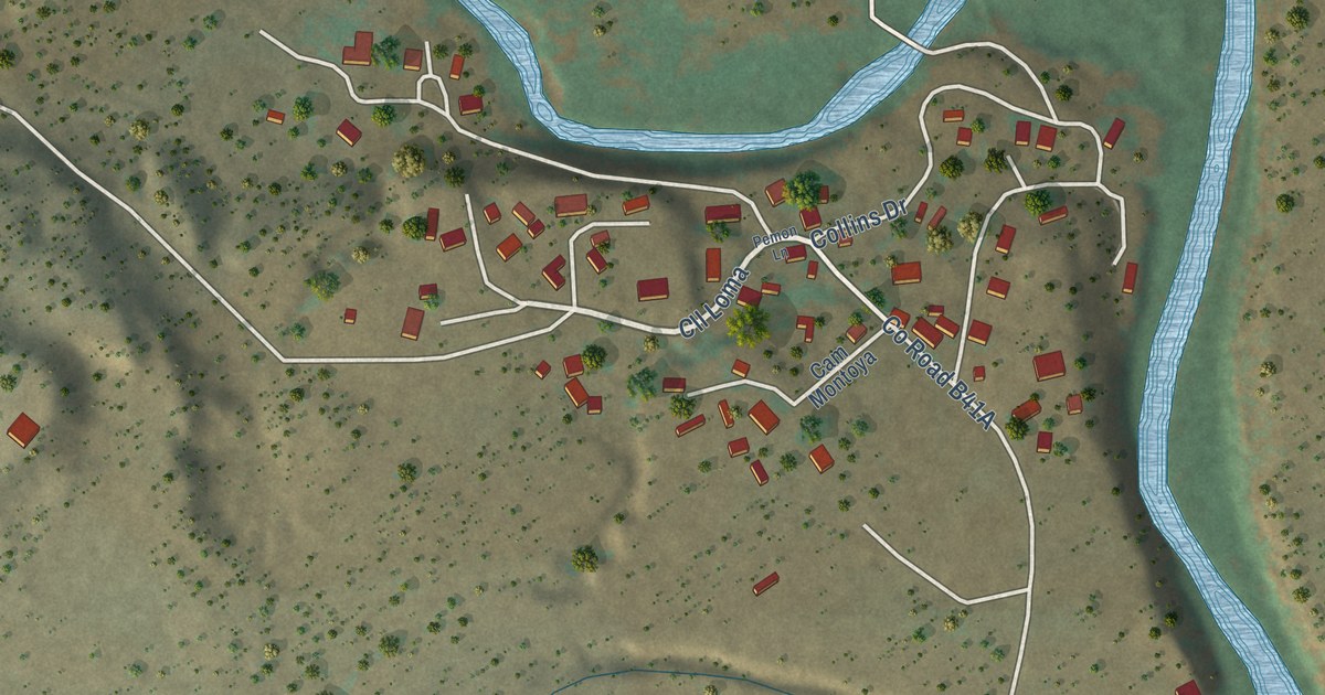
A detailed map of Soham, New Mexico, showing every building in its true location, the roads by name, and shaded topographical relief.
Read More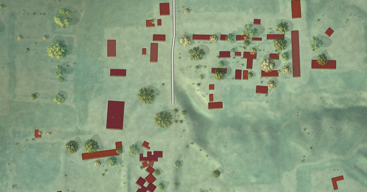
A detailed map of Platte Colony, South Dakota, showing every building in its true location, the roads by name, and shaded topographical relief.
Read More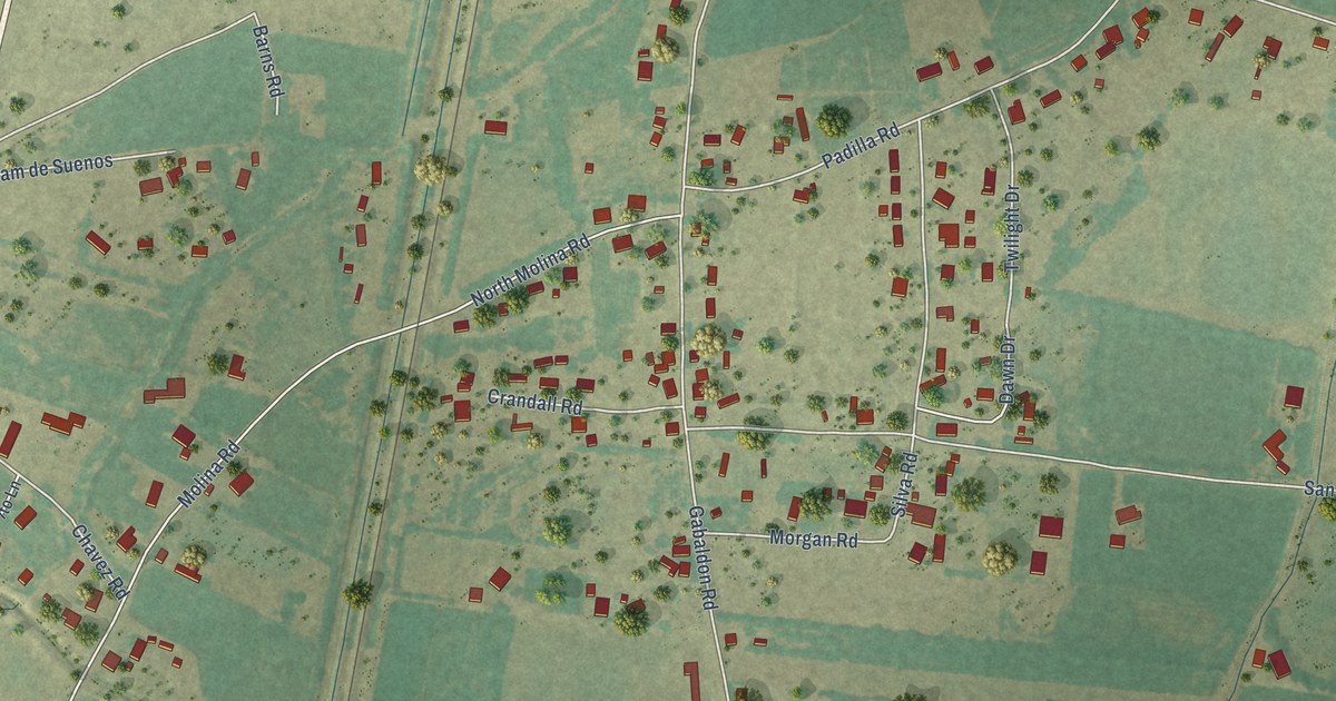
A detailed map of Sausal, New Mexico, showing every building in its true location, the roads by name, and shaded topographical relief.
Read More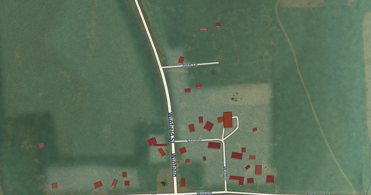
A detailed map of Rock, Kansas, showing every building in its true location, the roads by name, and shaded topographical relief.
Read More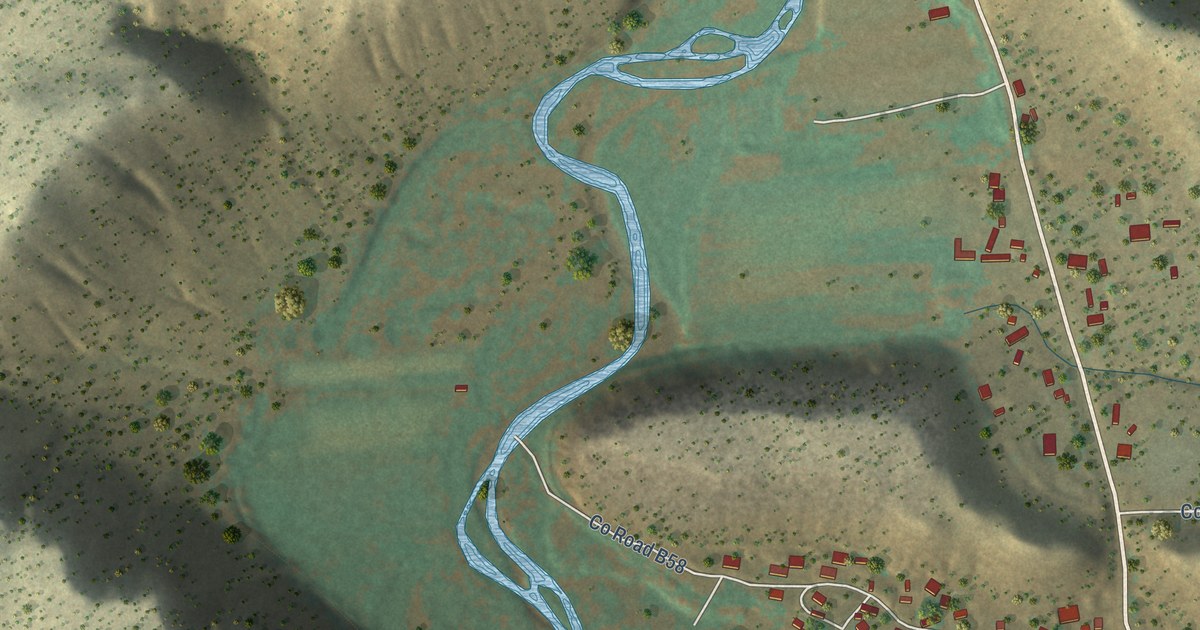
A detailed map of Sena, New Mexico, showing every building in its true location, the roads by name, and shaded topographical relief.
Read More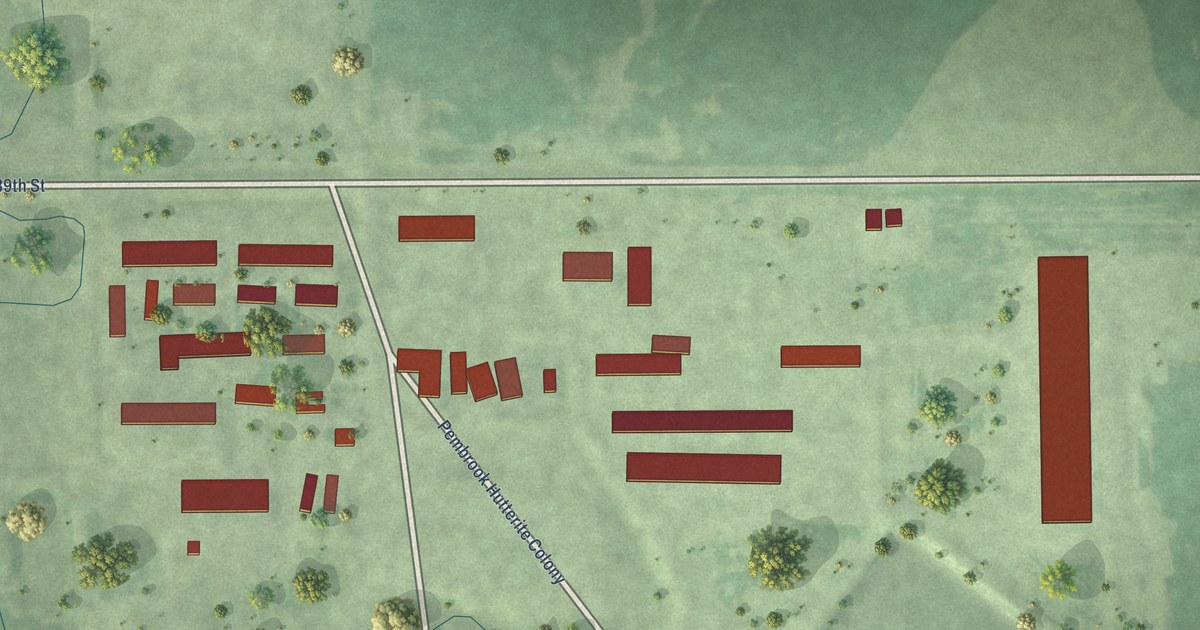
A detailed map of Pembrook Colony, South Dakota, showing every building in its true location, the roads by name, and shaded topographical relief.
Read More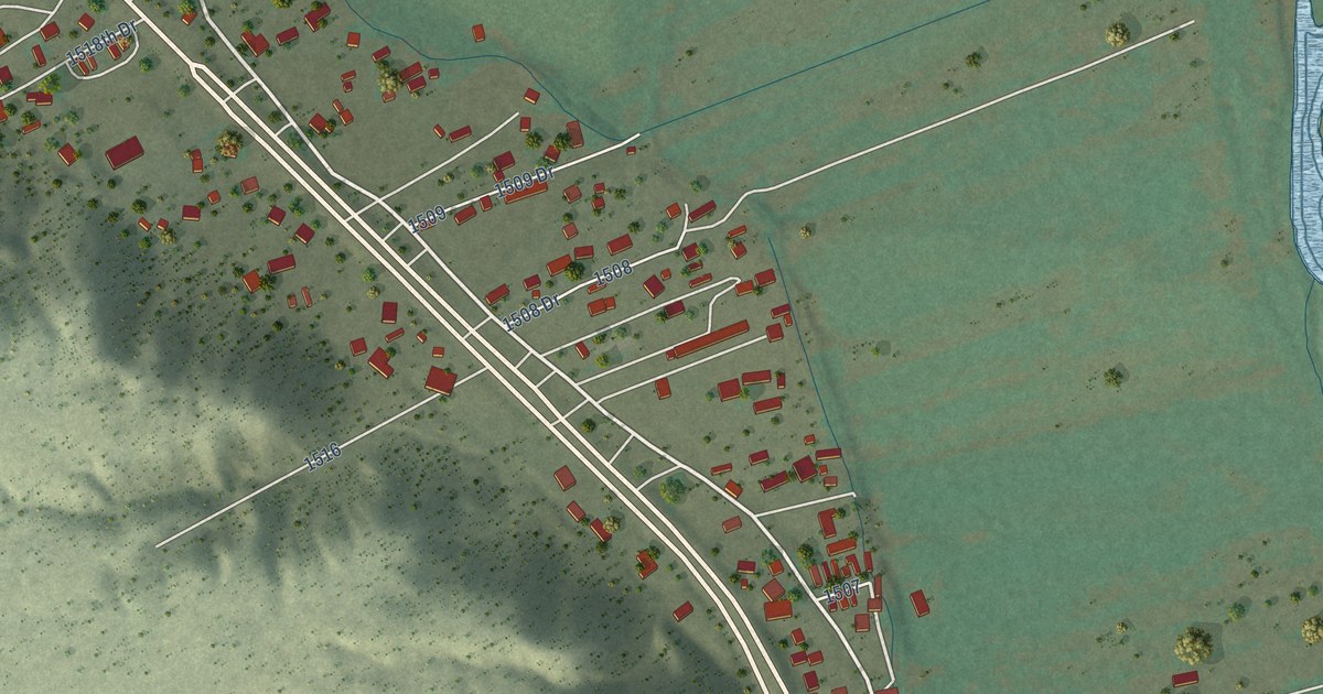
A detailed map of San Jose, New Mexico, showing every building in its true location, the roads by name, and shaded topographical relief.
Read More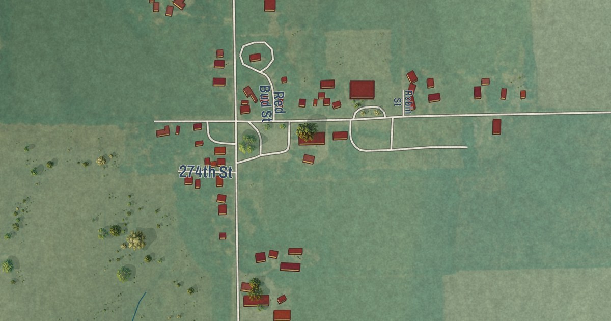
A detailed map of Pilsen, Kansas, showing every building in its true location, the roads by name, and shaded topographical relief.
Read More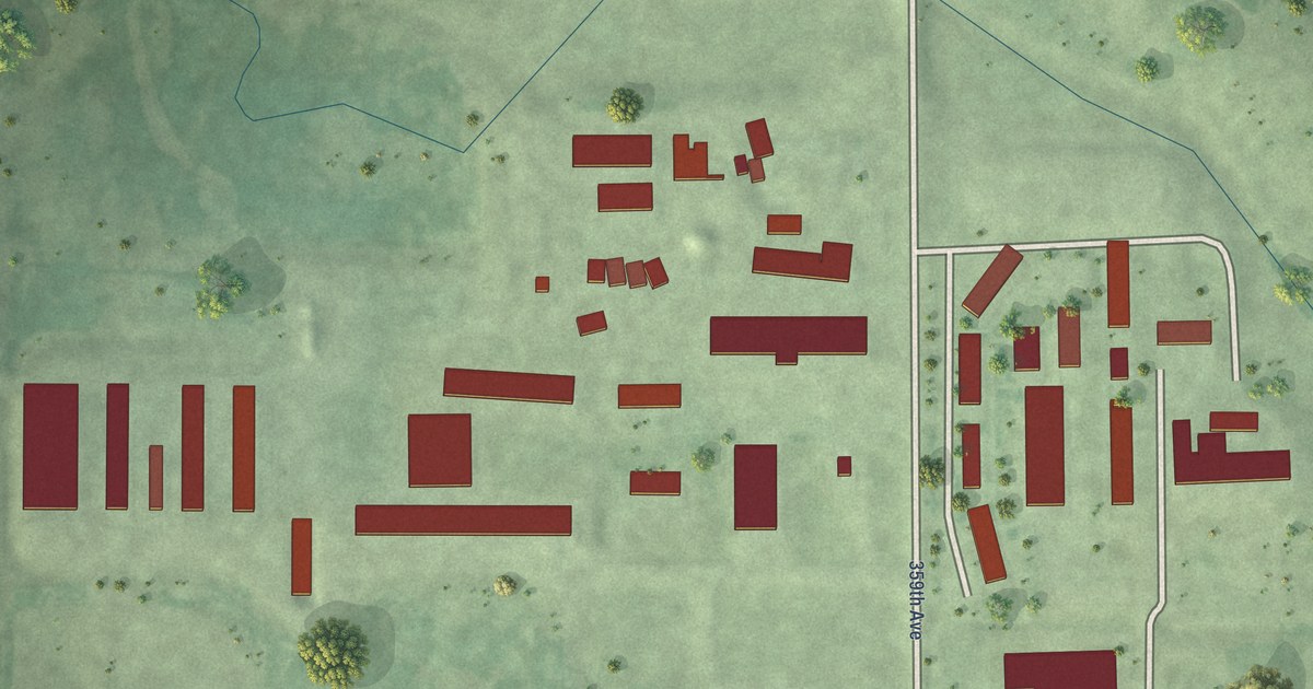
A detailed map of Plainview Colony, South Dakota, showing every building in its true location, the roads by name, and shaded topographical relief.
Read More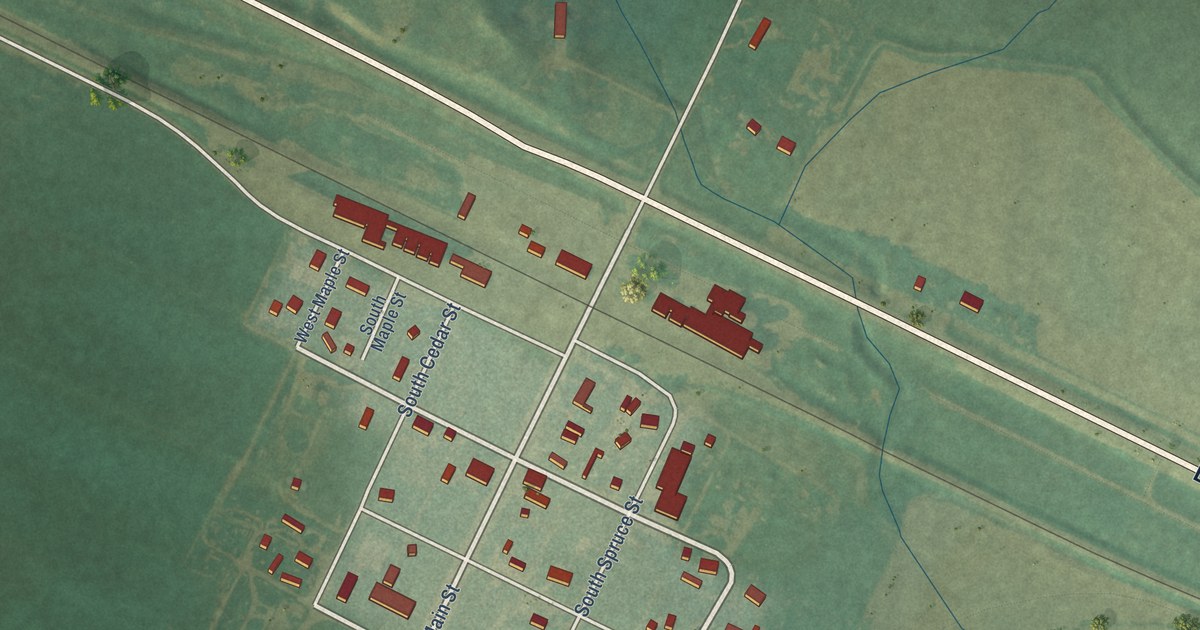
A detailed map of Pierceville, Kansas, showing every building in its true location, the roads by name, and shaded topographical relief.
Read More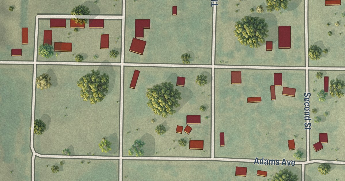
A detailed map of Nicodemus, Kansas, showing every building in its true location, the roads by name, and shaded topographical relief.
Read More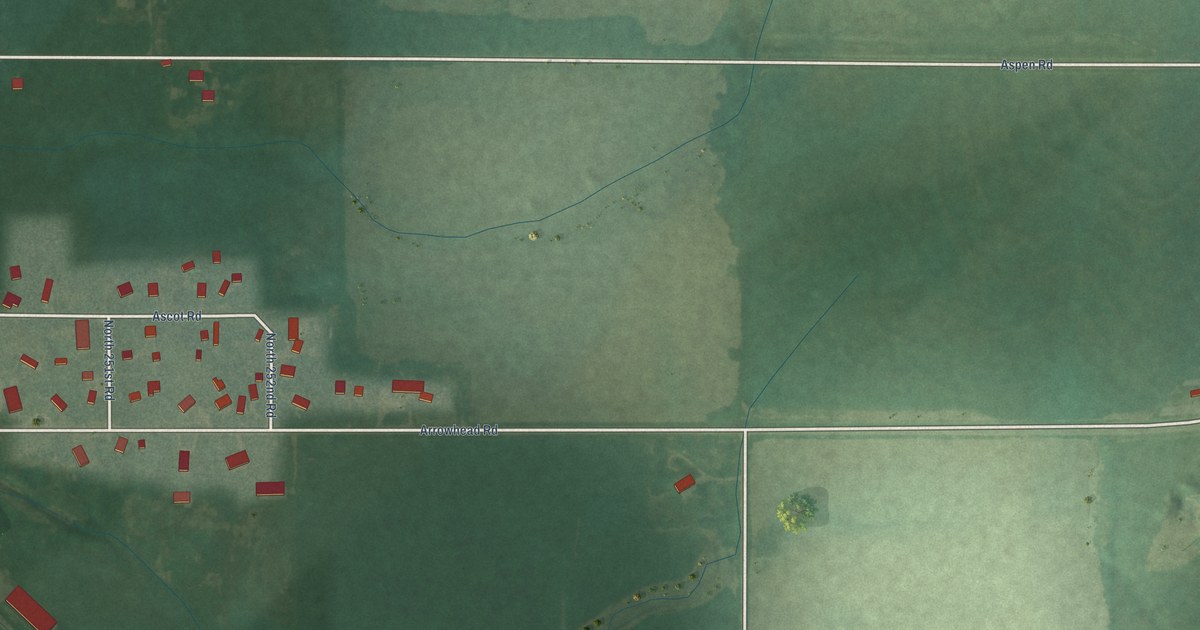
A detailed map of Niles, Kansas, showing every building in its true location, the roads by name, and shaded topographical relief.
Read More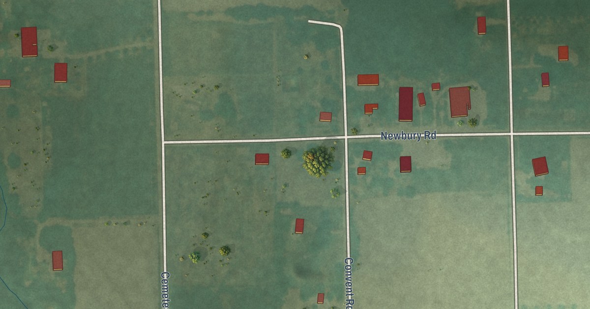
A detailed map of Newbury, Kansas, showing every building in its true location, the roads by name, and shaded topographical relief.
Read More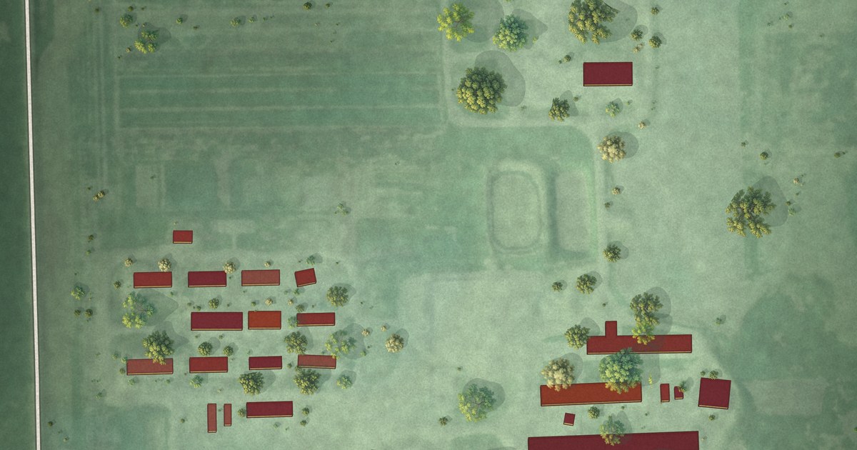
A detailed map of Newport Colony, South Dakota, showing every building in its true location, the roads by name, and shaded topographical relief.
Read More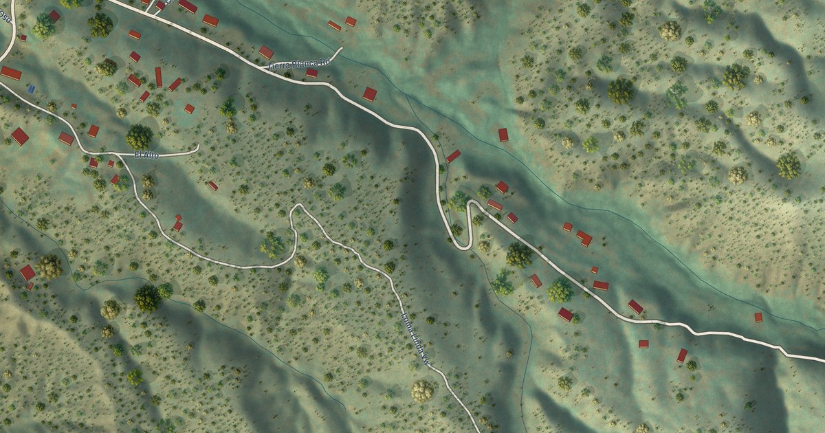
A detailed map of Rio en Medio, New Mexico, showing every building in its true location, the roads by name, and shaded topographical relief.
Read More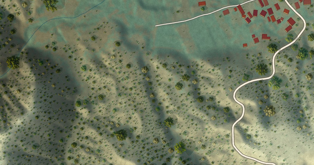
A detailed map of Rio Chiquito, New Mexico, showing every building in its true location, the roads by name, and shaded topographical relief.
Read More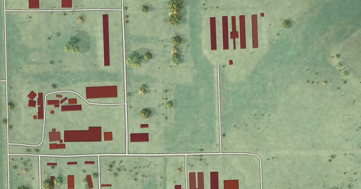
A detailed map of Oak Lane Colony, South Dakota, showing every building in its true location, the roads by name, and shaded topographical relief.
Read More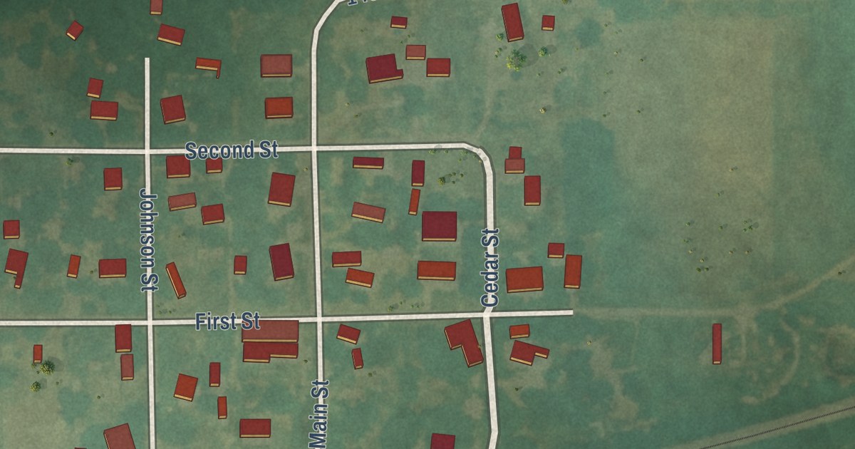
A detailed map of New Salem, Kansas, showing every building in its true location, the roads by name, and shaded topographical relief.
Read More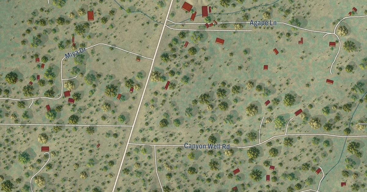
A detailed map of Sagar, New Mexico, showing every building in its true location, the roads by name, and shaded topographical relief.
Read More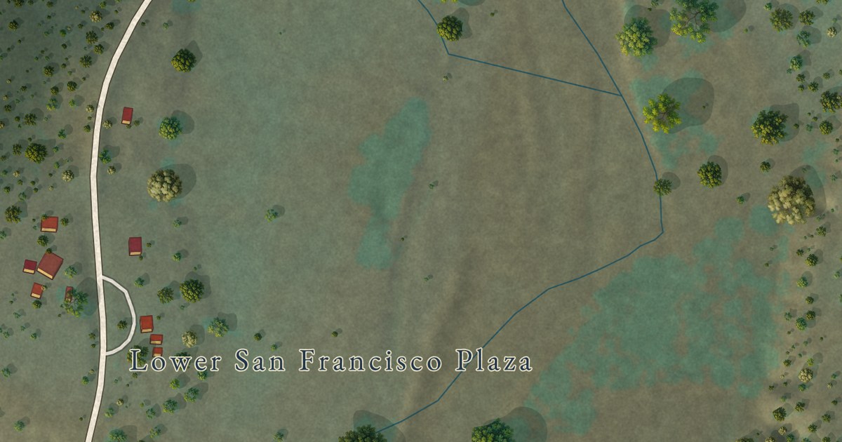
A detailed map of Rivers, New Mexico, showing every building in its true location, the roads by name, and shaded topographical relief.
Read More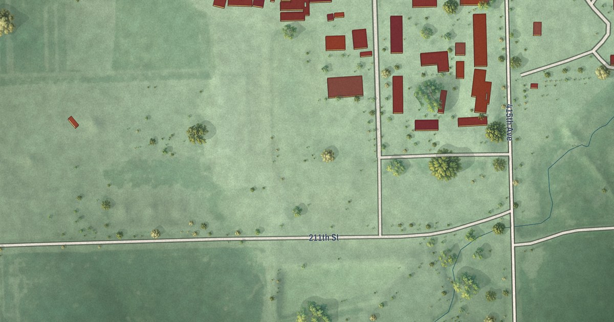
A detailed map of Pearl Creek Colony, South Dakota, showing every building in its true location, the roads by name, and shaded topographical relief.
Read More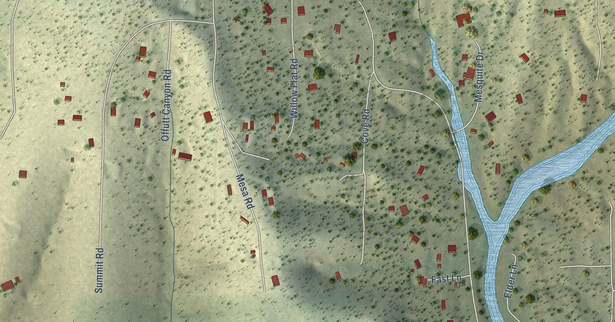
A detailed map of Rosedale, New Mexico, showing every building in its true location, the roads by name, and shaded topographical relief.
Read More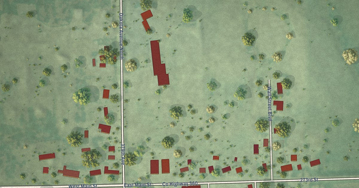
A detailed map of New Holland, South Dakota, showing every building in its true location, the roads by name, and shaded topographical relief.
Read More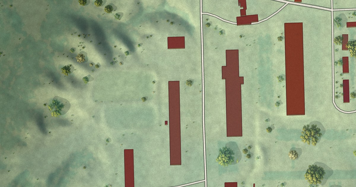
A detailed map of Old Elm Spring Colony, South Dakota, showing every building in its true location, the roads by name, and shaded topographical relief.
Read More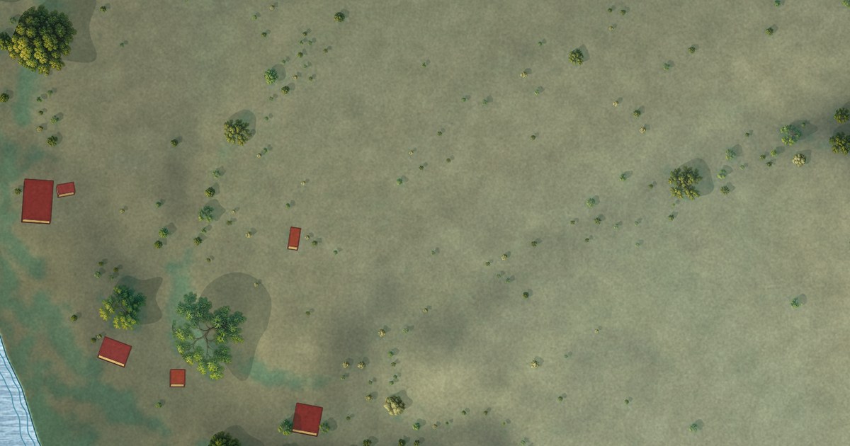
A detailed map of Redrock, New Mexico, showing every building in its true location, the roads by name, and shaded topographical relief.
Read More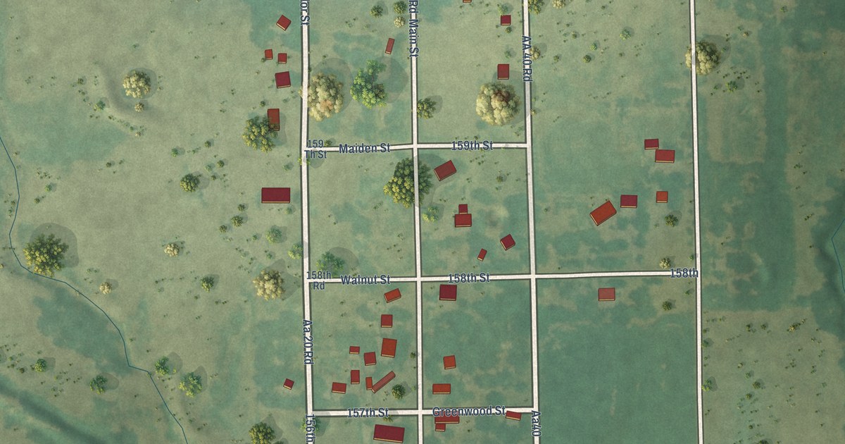
A detailed map of Neal, Kansas, showing every building in its true location, the roads by name, and shaded topographical relief.
Read More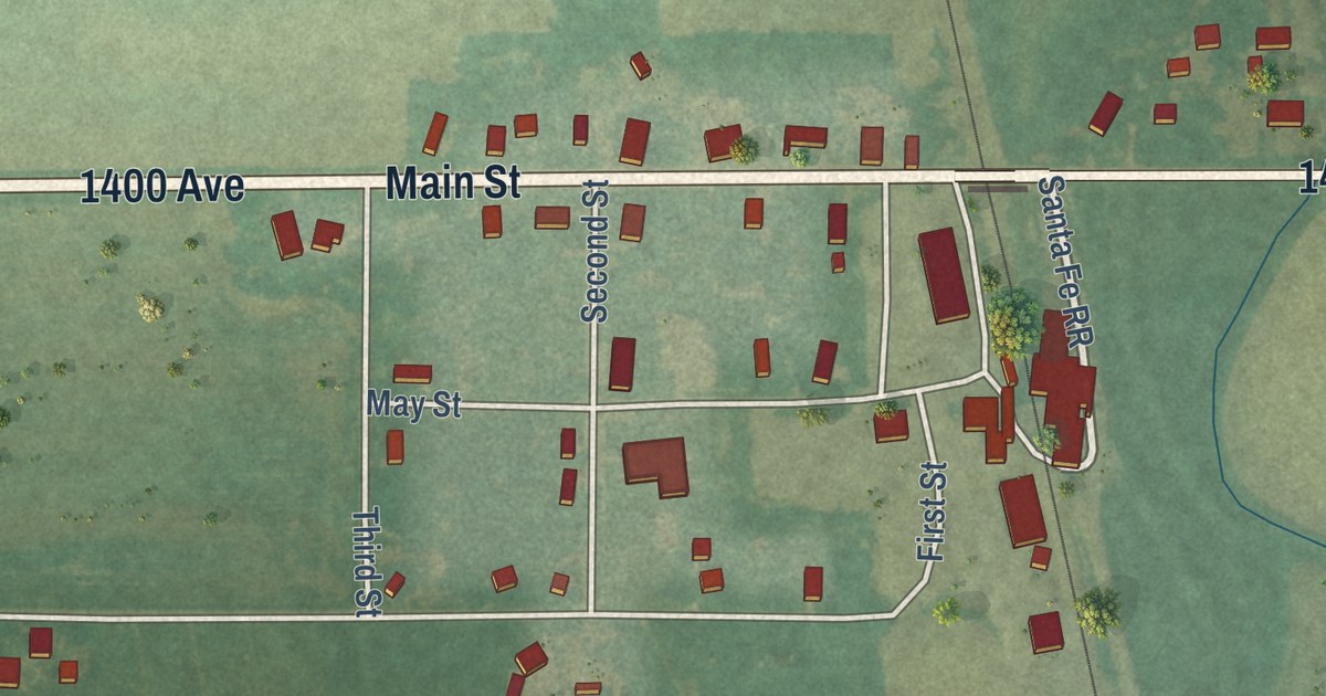
A detailed map of Navarre, Kansas, showing every building in its true location, the roads by name, and shaded topographical relief.
Read More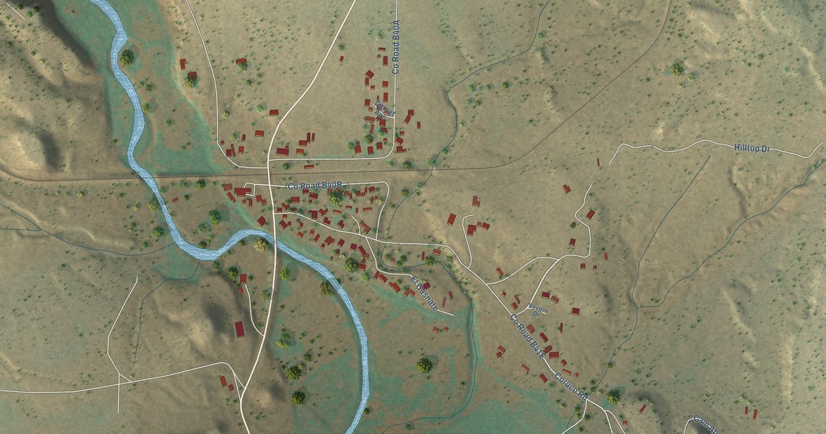
A detailed map of Ribera, New Mexico, showing every building in its true location, the roads by name, and shaded topographical relief.
Read More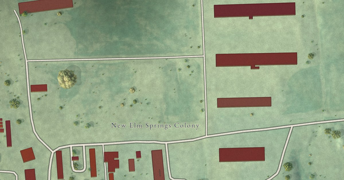
A detailed map of New Elm Spring Colony, South Dakota, showing every building in its true location, the roads by name, and shaded topographical relief.
Read More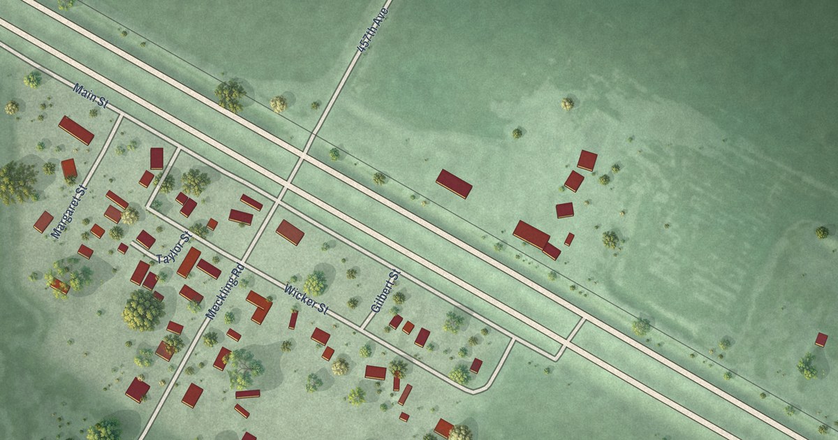
A detailed map of Meckling, South Dakota, showing every building in its true location, the roads by name, and shaded topographical relief.
Read More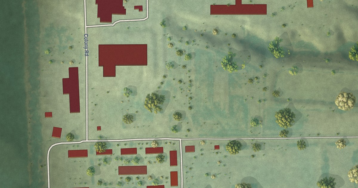
A detailed map of Millbrook Colony, South Dakota, showing every building in its true location, the roads by name, and shaded topographical relief.
Read More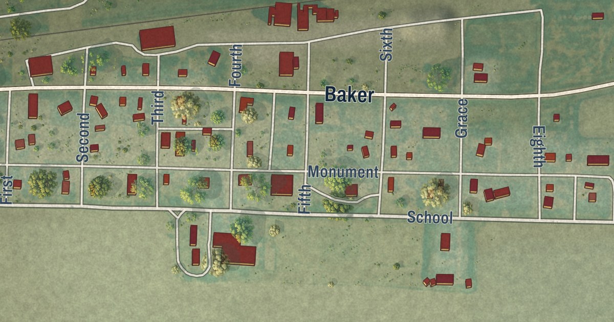
A detailed map of Monument, Kansas, showing every building in its true location, the roads by name, and shaded topographical relief.
Read More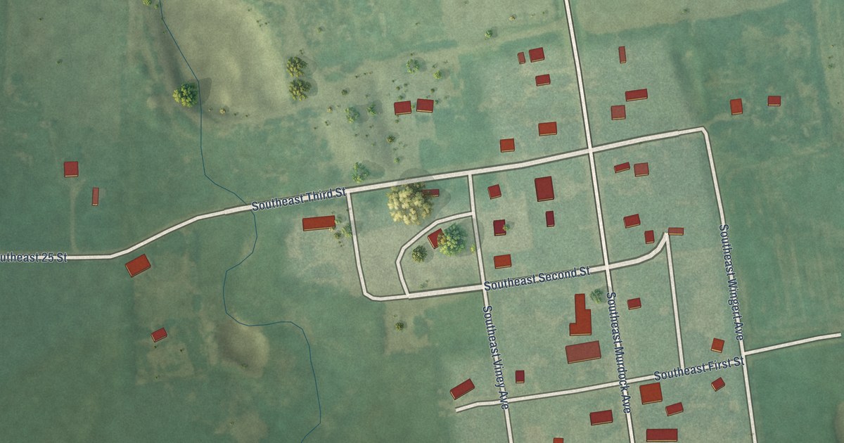
A detailed map of Murdock, Kansas, showing every building in its true location, the roads by name, and shaded topographical relief.
Read More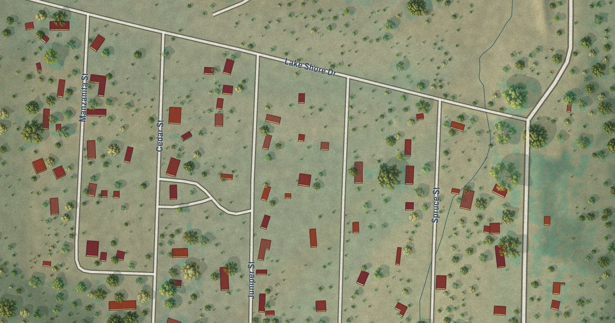
A detailed map of Rancho Grande, New Mexico, showing every building in its true location, the roads by name, and shaded topographical relief.
Read More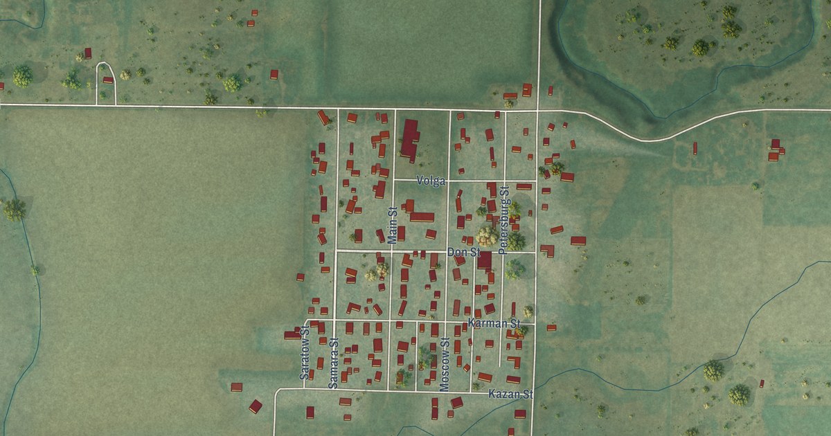
A detailed map of Munjor, Kansas, showing every building in its true location, the roads by name, and shaded topographical relief.
Read More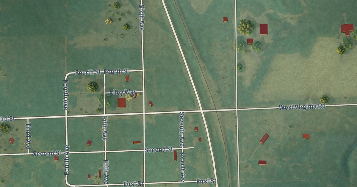
A detailed map of Mildred, Kansas, showing every building in its true location, the roads by name, and shaded topographical relief.
Read More















