Detailed Map of Punta de Agua, New Mexico
A detailed map of Punta de Agua, New Mexico, showing every building in its true location, the roads by name, and shaded topographical relief.
Read More
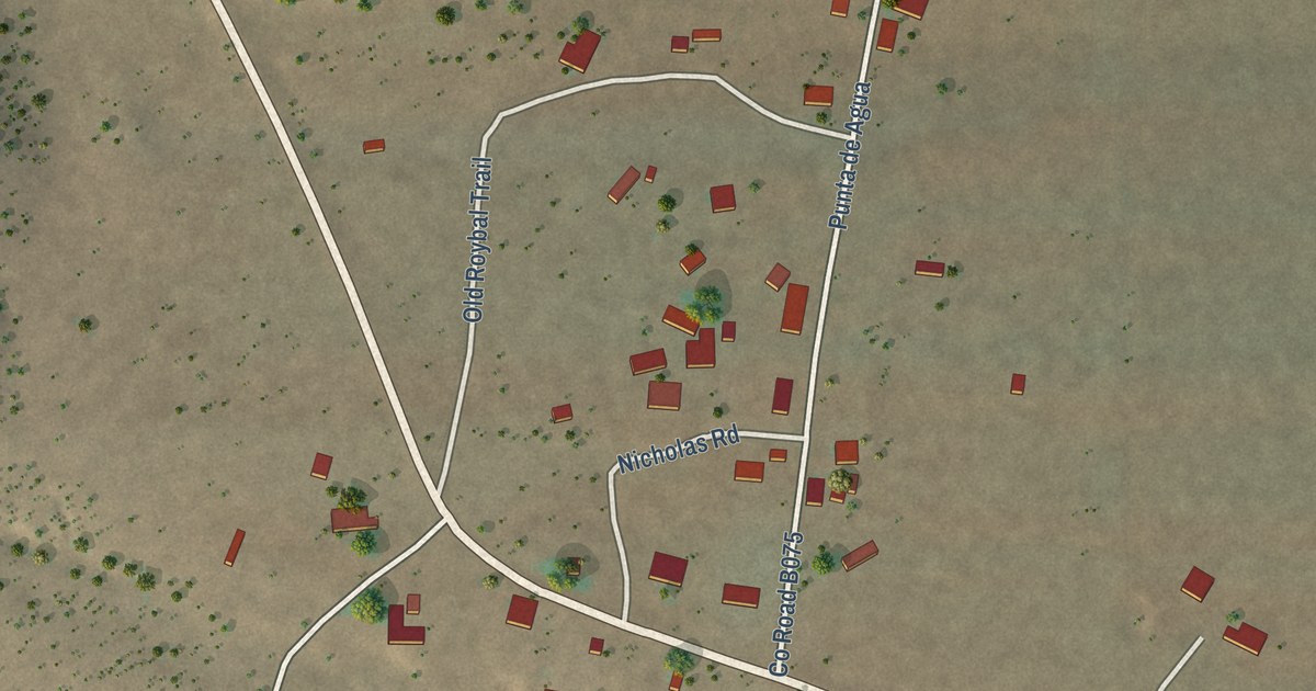
A detailed map of Punta de Agua, New Mexico, showing every building in its true location, the roads by name, and shaded topographical relief.
Read More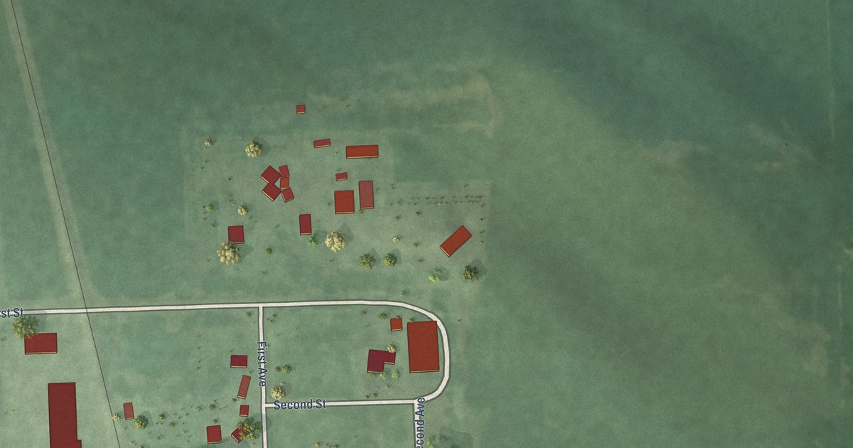
A detailed map of Lyons, South Dakota, showing every building in its true location, the roads by name, and shaded topographical relief.
Read More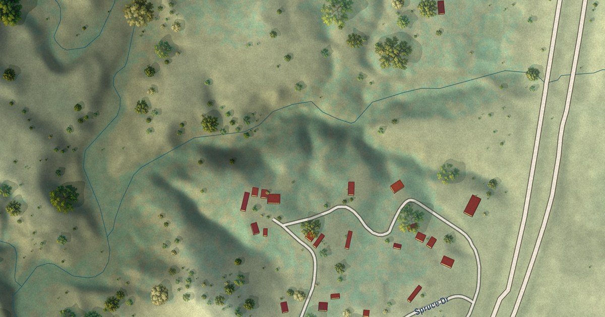
A detailed map of Maverick Junction, South Dakota, showing every building in its true location, the roads by name, and shaded topographical relief.
Read More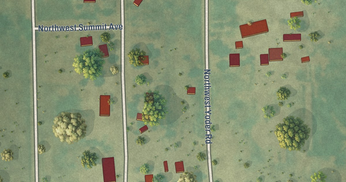
A detailed map of Mont Ida, Kansas, showing every building in its true location, the roads by name, and shaded topographical relief.
Read More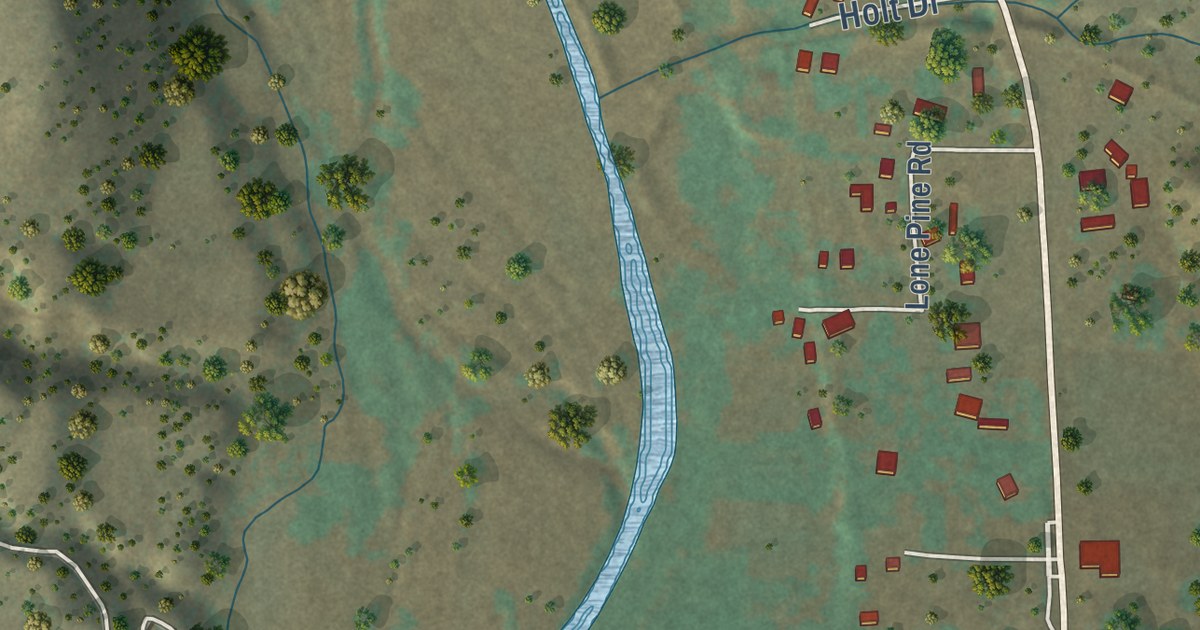
A detailed map of Pleasanton, New Mexico, showing every building in its true location, the roads by name, and shaded topographical relief.
Read More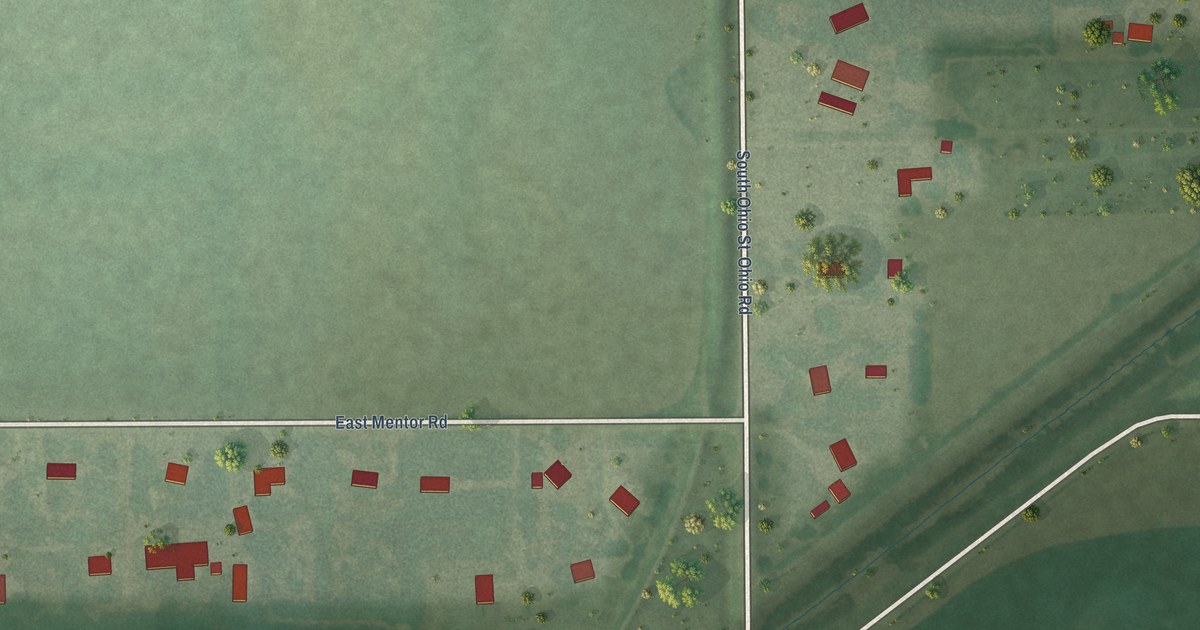
A detailed map of Mentor, Kansas, showing every building in its true location, the roads by name, and shaded topographical relief.
Read More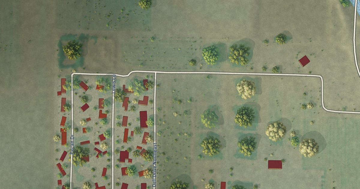
A detailed map of Pecan Park, New Mexico, showing every building in its true location, the roads by name, and shaded topographical relief.
Read More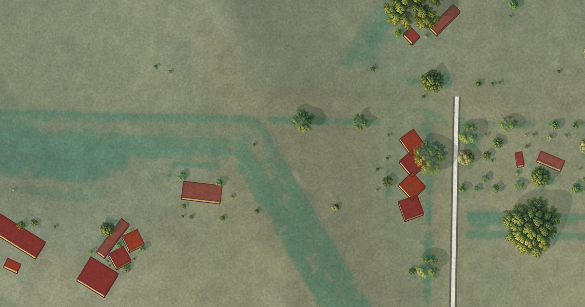
A detailed map of Lantry, South Dakota, showing every building in its true location, the roads by name, and shaded topographical relief.
Read More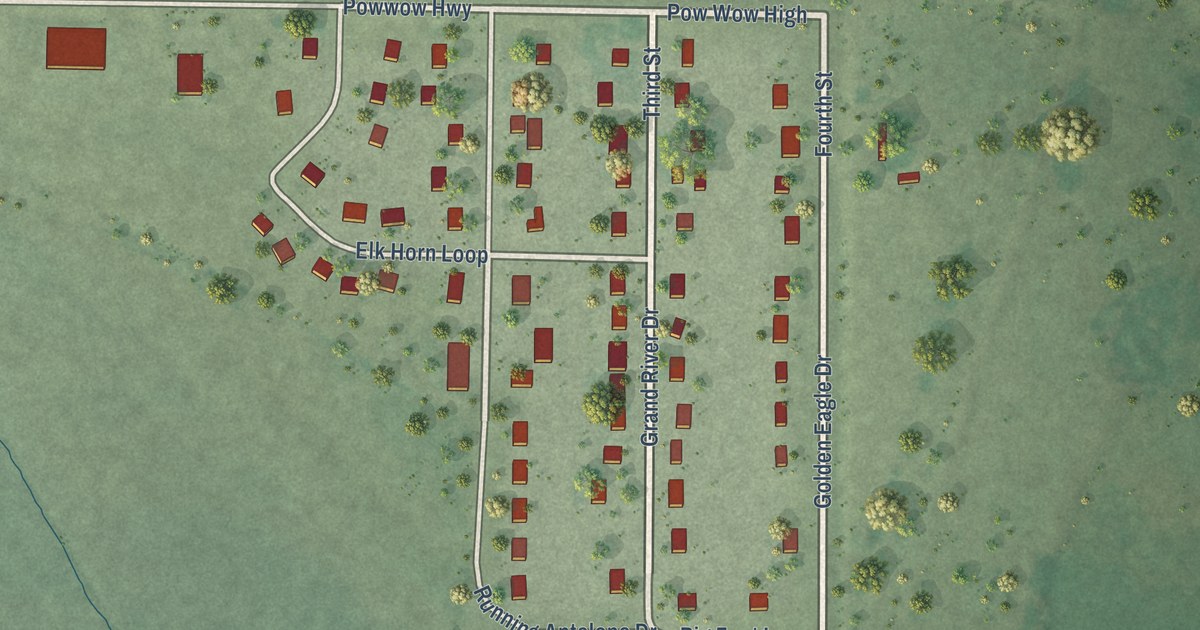
A detailed map of Little Eagle, South Dakota, showing every building in its true location, the roads by name, and shaded topographical relief.
Read More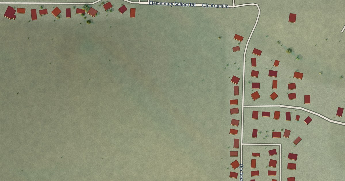
A detailed map of Ojo Amarillo, New Mexico, showing every building in its true location, the roads by name, and shaded topographical relief.
Read More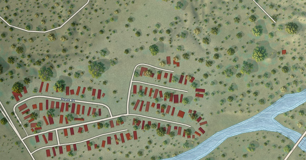
A detailed map of Peak Place, New Mexico, showing every building in its true location, the roads by name, and shaded topographical relief.
Read More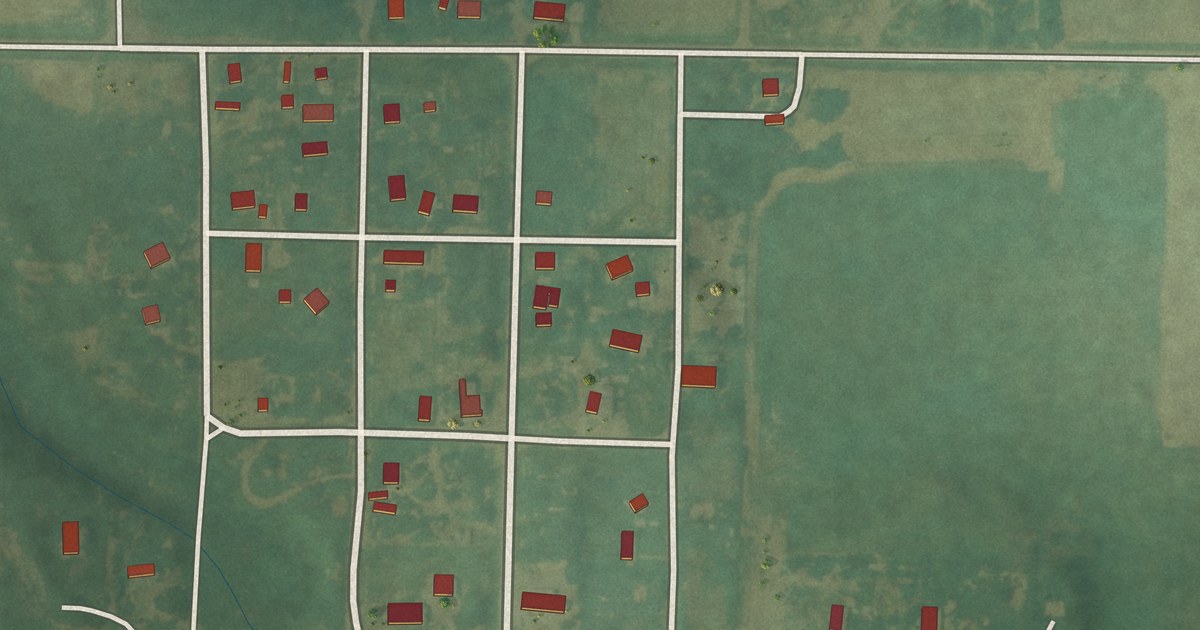
A detailed map of Ludell, Kansas, showing every building in its true location, the roads by name, and shaded topographical relief.
Read More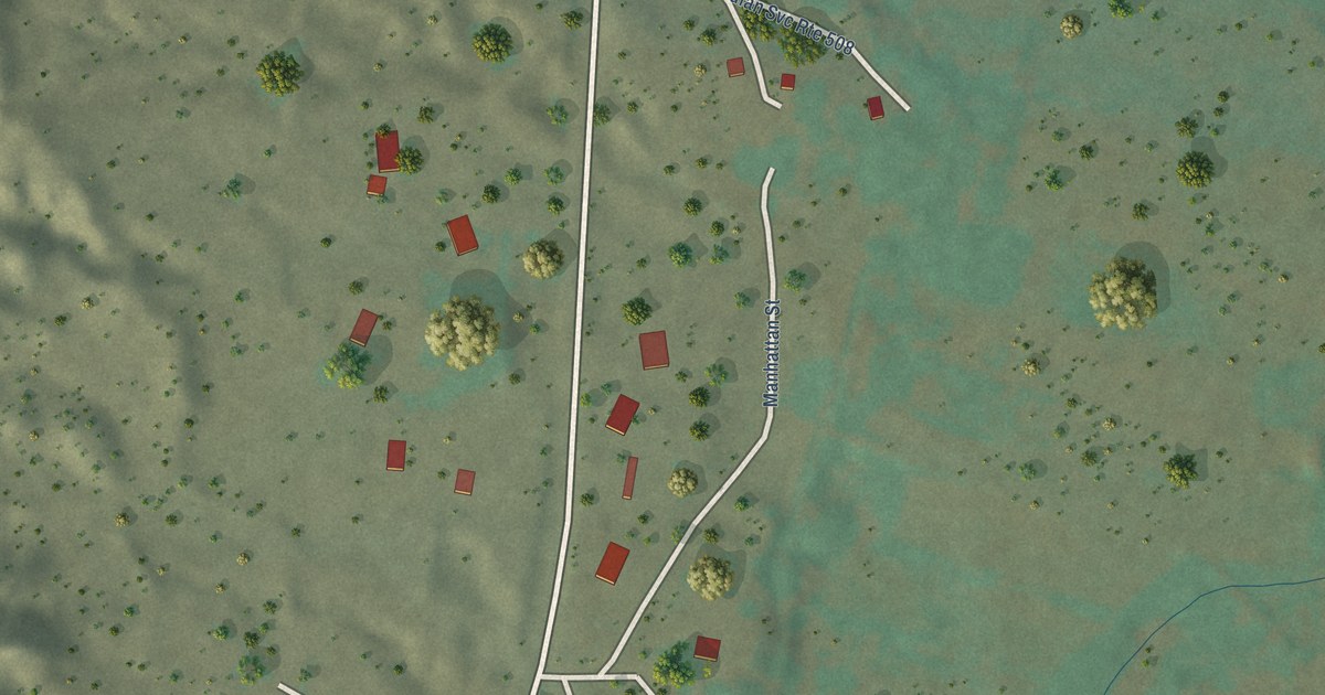
A detailed map of Pueblito, New Mexico, showing every building in its true location, the roads by name, and shaded topographical relief.
Read More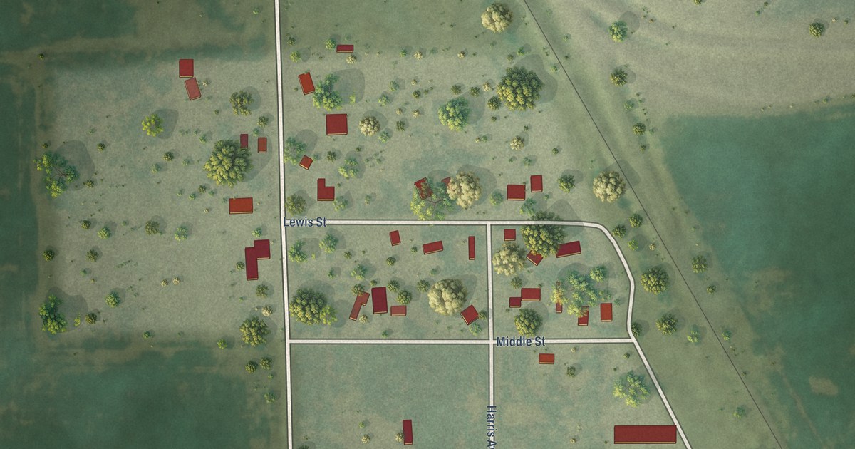
A detailed map of Loomis, South Dakota, showing every building in its true location, the roads by name, and shaded topographical relief.
Read More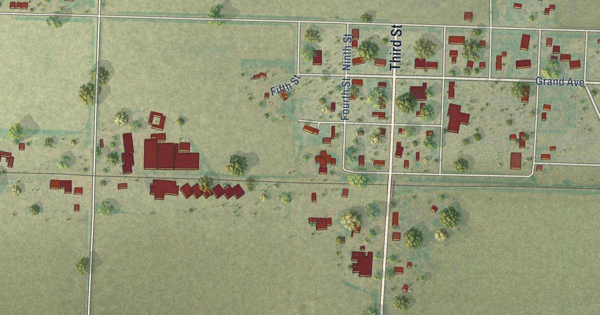
A detailed map of Marienthal, Kansas, showing every building in its true location, the roads by name, and shaded topographical relief.
Read More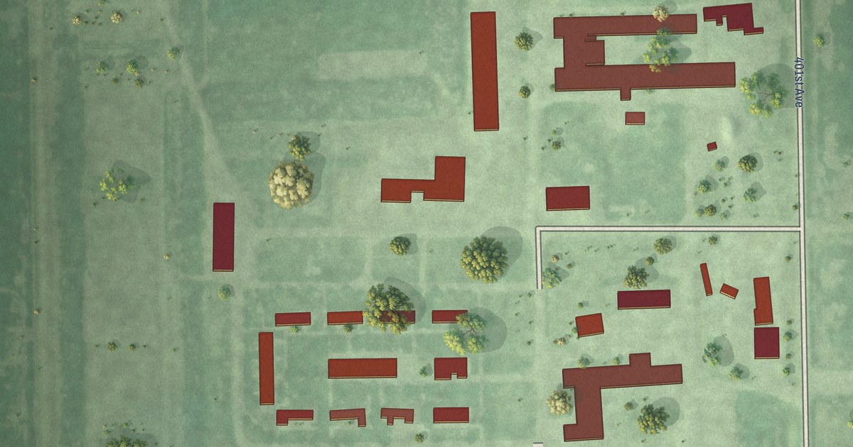
A detailed map of Hutterville Colony, South Dakota, showing every building in its true location, the roads by name, and shaded topographical relief.
Read More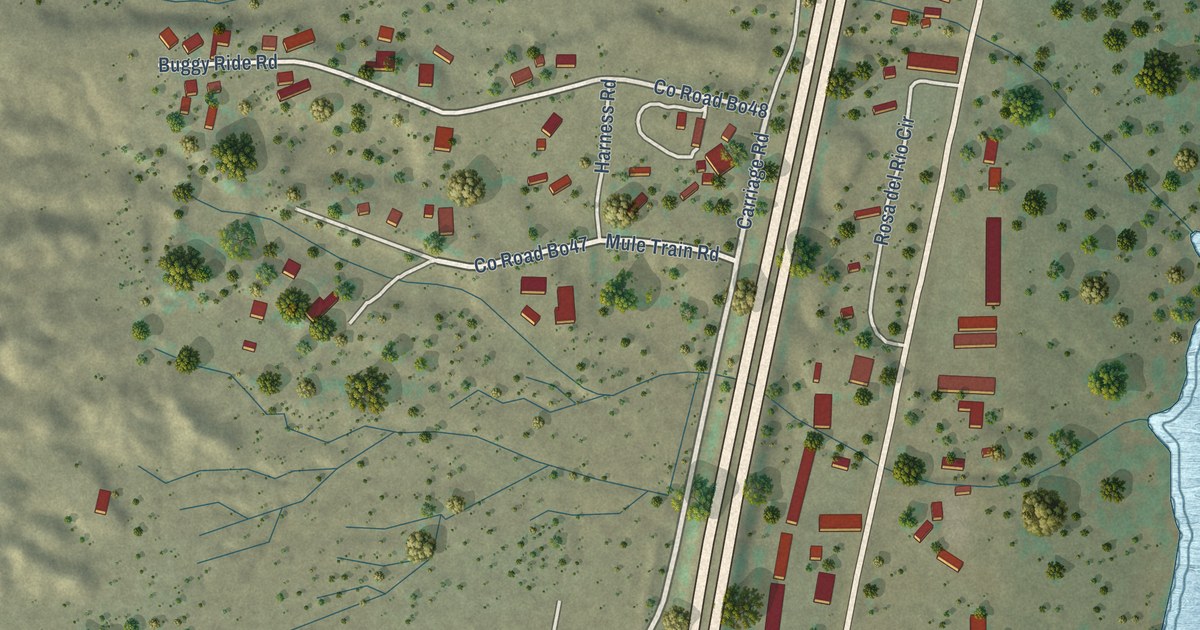
A detailed map of Oasis, New Mexico, showing every building in its true location, the roads by name, and shaded topographical relief.
Read More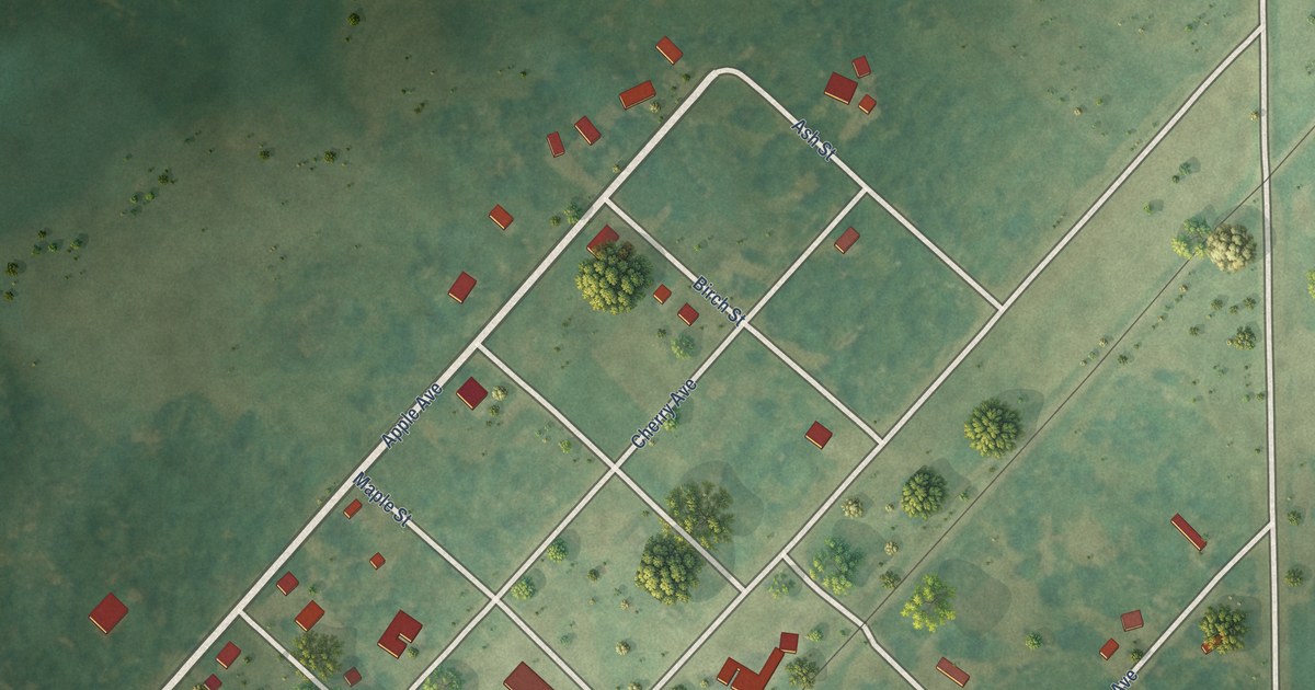
A detailed map of Kidder, South Dakota, showing every building in its true location, the roads by name, and shaded topographical relief.
Read More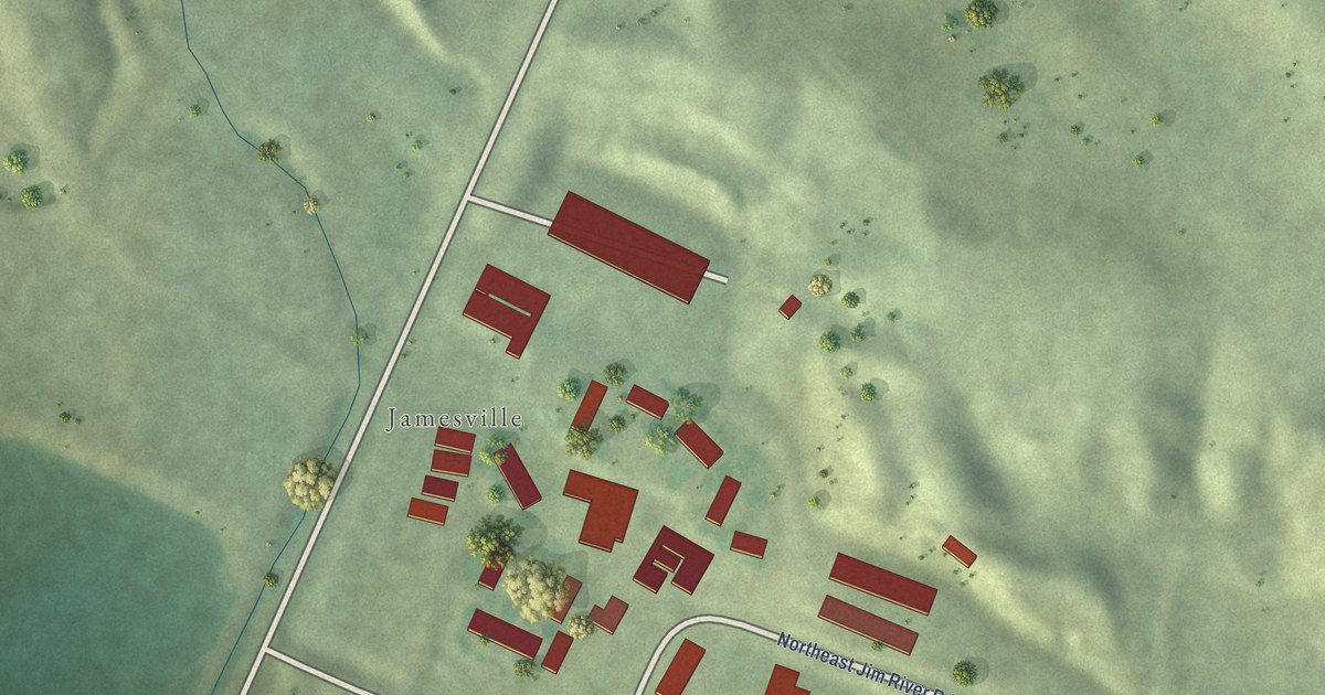
A detailed map of Jamesville Colony, South Dakota, showing every building in its true location, the roads by name, and shaded topographical relief.
Read More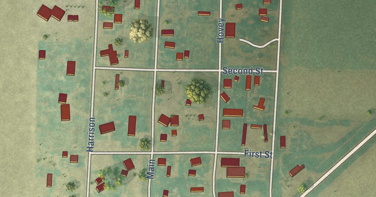
A detailed map of Levant, Kansas, showing every building in its true location, the roads by name, and shaded topographical relief.
Read More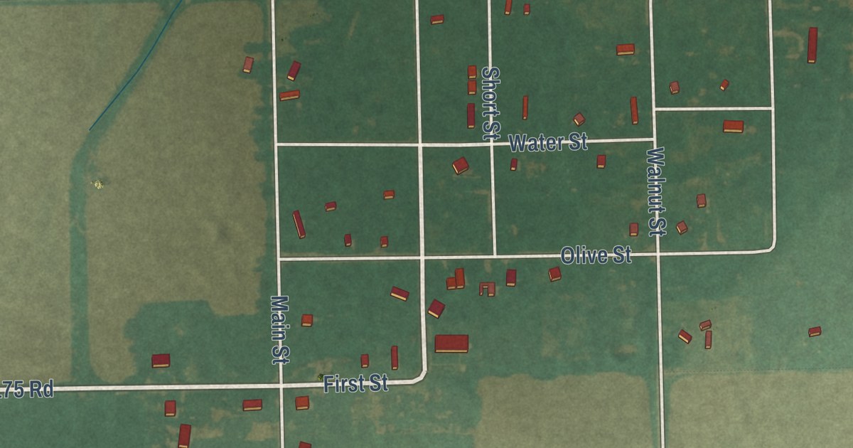
A detailed map of Lafontaine, Kansas, showing every building in its true location, the roads by name, and shaded topographical relief.
Read More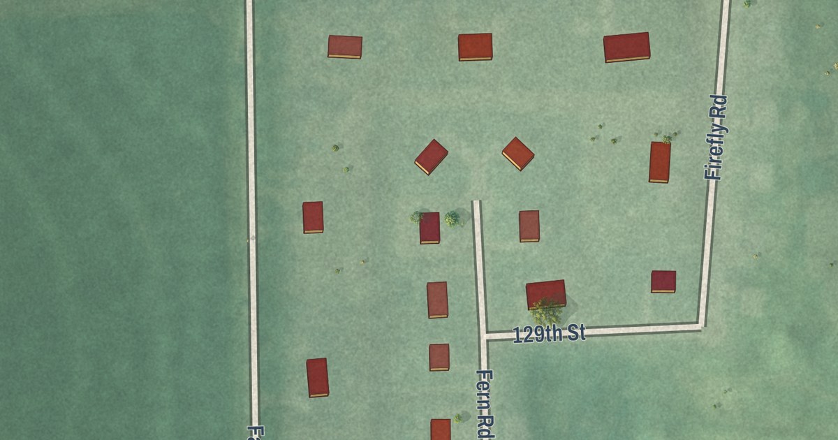
A detailed map of Kickapoo Site 7, Kansas, showing every building in its true location, the roads by name, and shaded topographical relief.
Read More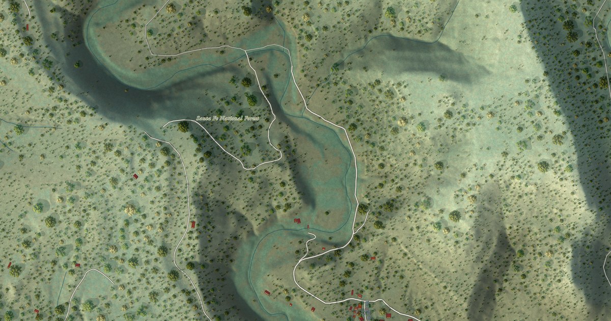
A detailed map of North San Ysidro, New Mexico, showing every building in its true location, the roads by name, and shaded topographical relief.
Read More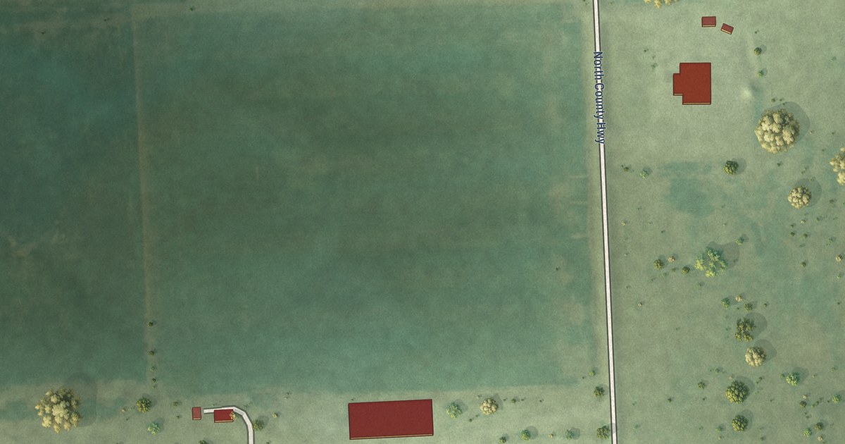
A detailed map of Kaylor, South Dakota, showing every building in its true location, the roads by name, and shaded topographical relief.
Read More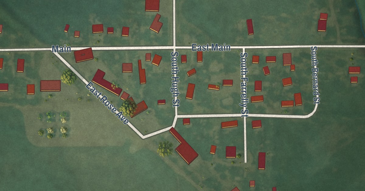
A detailed map of Kipp, Kansas, showing every building in its true location, the roads by name, and shaded topographical relief.
Read More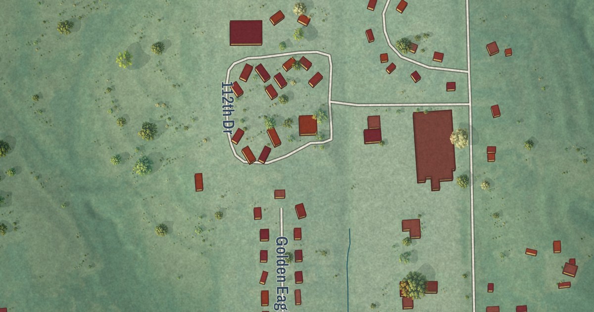
A detailed map of Kickapoo Tribal Center, Kansas, showing every building in its true location, the roads by name, and shaded topographical relief.
Read More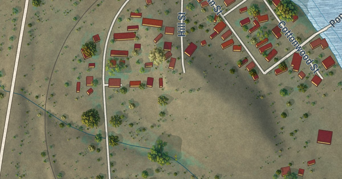
A detailed map of North Hurley, New Mexico, showing every building in its true location, the roads by name, and shaded topographical relief.
Read More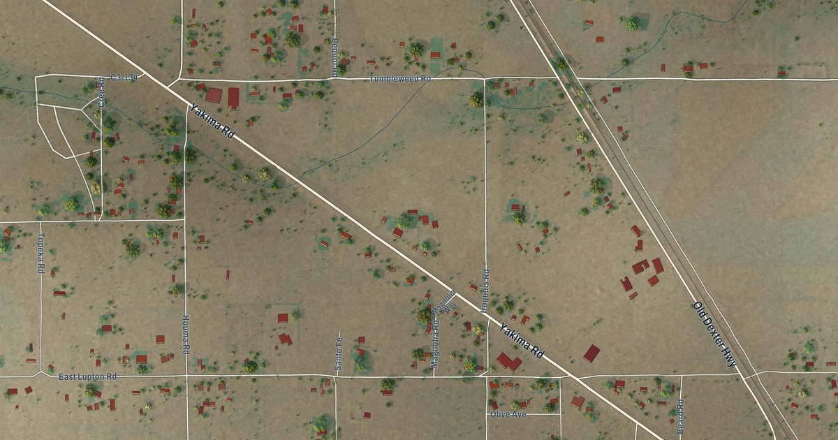
A detailed map of Midway, New Mexico, showing every building in its true location, the roads by name, and shaded topographical relief.
Read More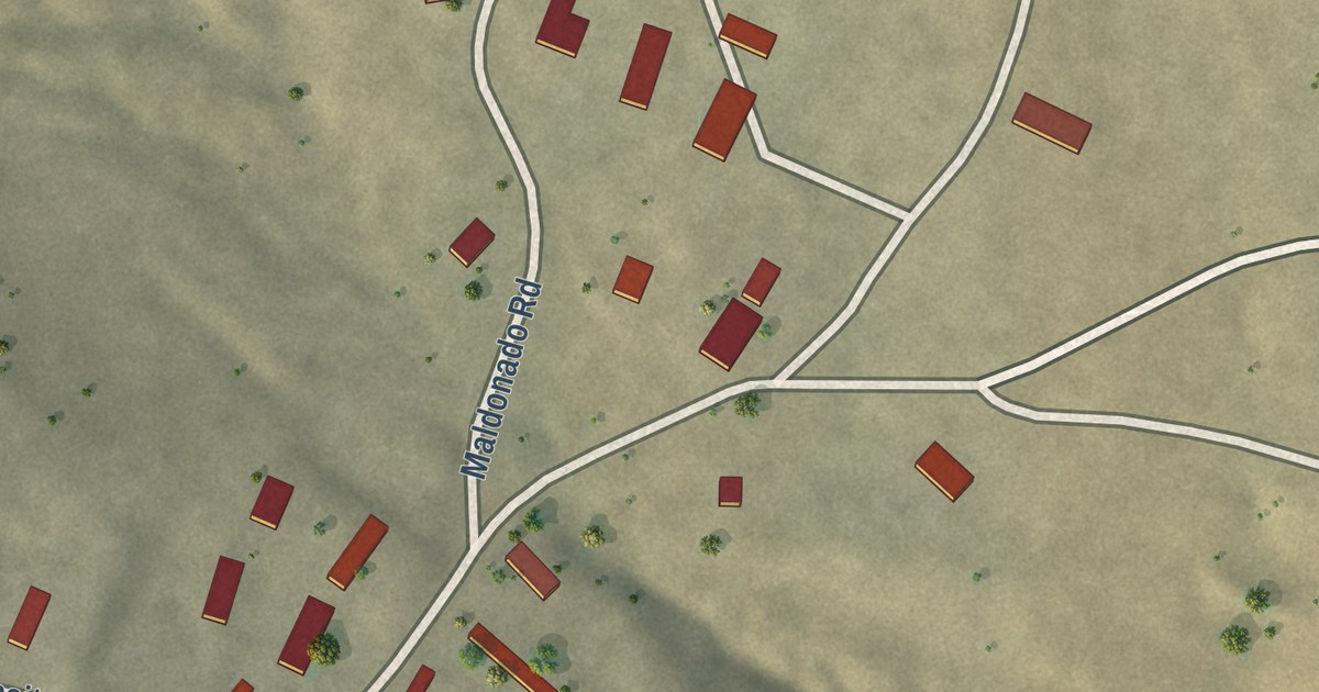
A detailed map of Moquino, New Mexico, showing every building in its true location, the roads by name, and shaded topographical relief.
Read More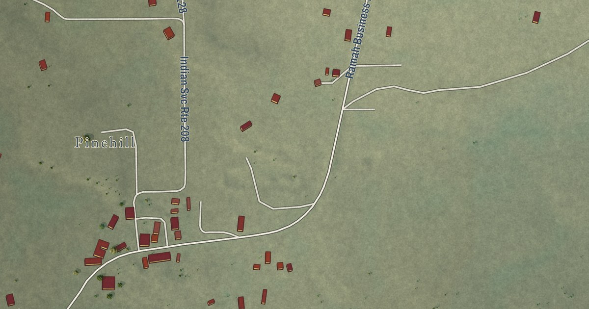
A detailed map of Mountain View, New Mexico, showing every building in its true location, the roads by name, and shaded topographical relief.
Read More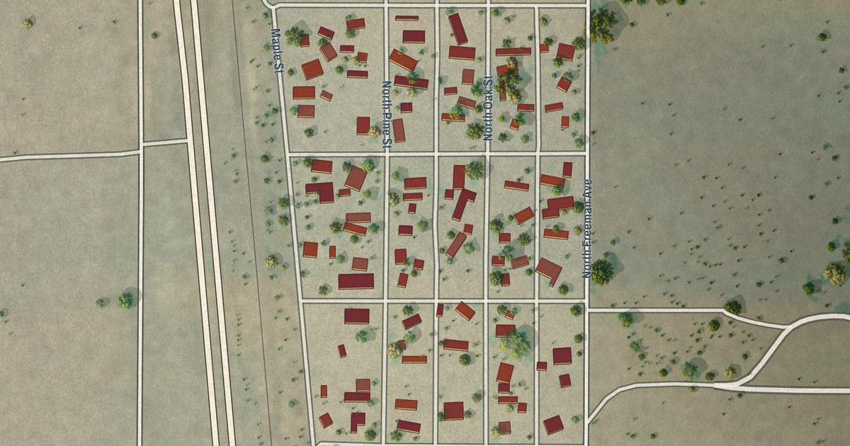
A detailed map of Morningside, New Mexico, showing every building in its true location, the roads by name, and shaded topographical relief.
Read More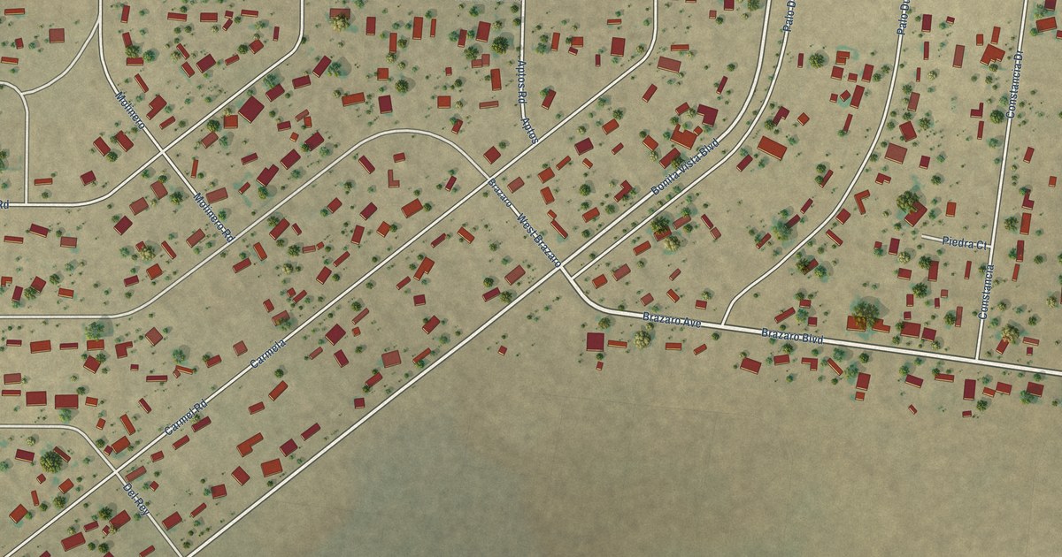
A detailed map of Monterey Park, New Mexico, showing every building in its true location, the roads by name, and shaded topographical relief.
Read More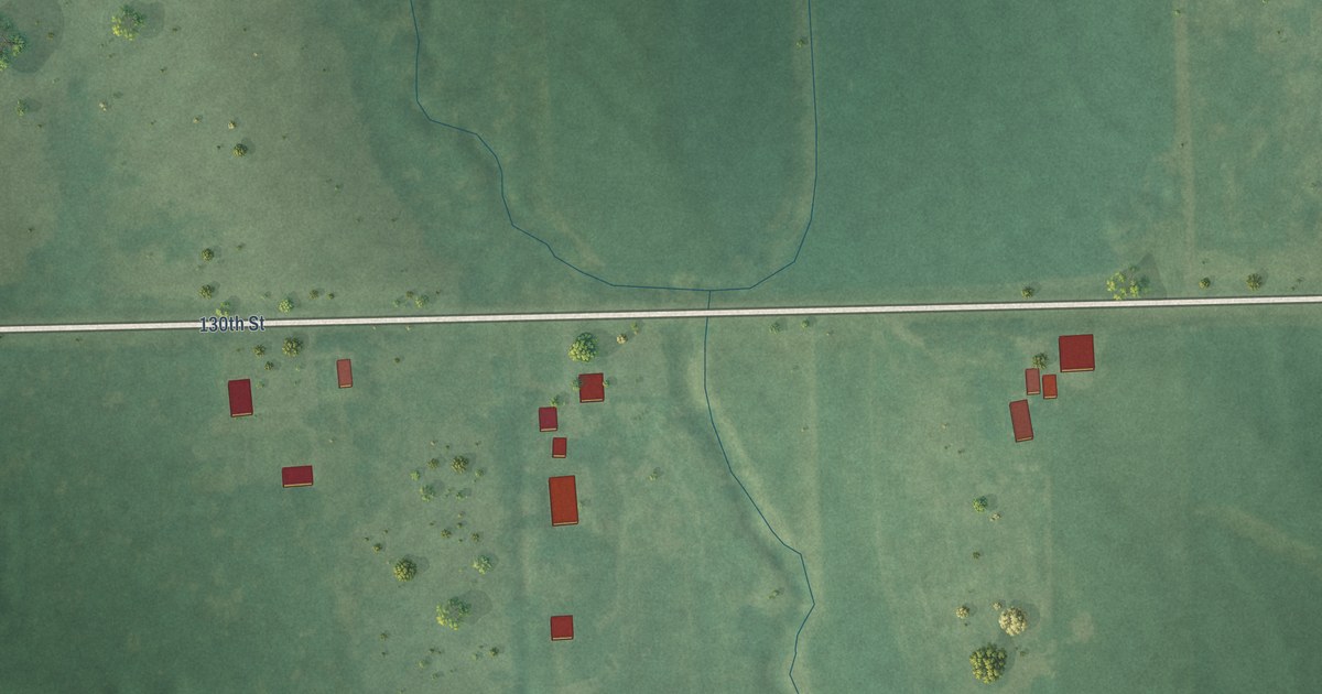
A detailed map of Kickapoo Site 6, Kansas, showing every building in its true location, the roads by name, and shaded topographical relief.
Read More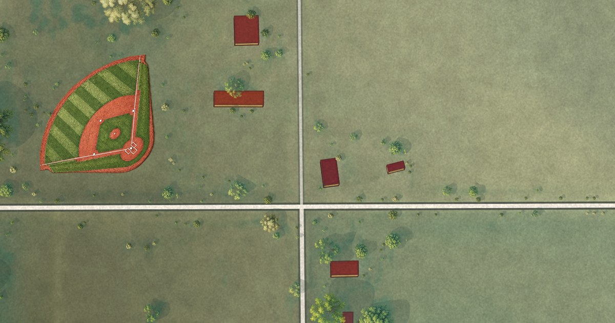
A detailed map of Ideal, South Dakota, showing every building in its true location, the roads by name, and shaded topographical relief.
Read More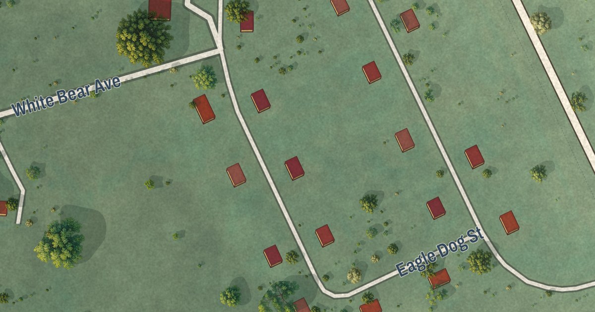
A detailed map of Horse Creek, South Dakota, showing every building in its true location, the roads by name, and shaded topographical relief.
Read More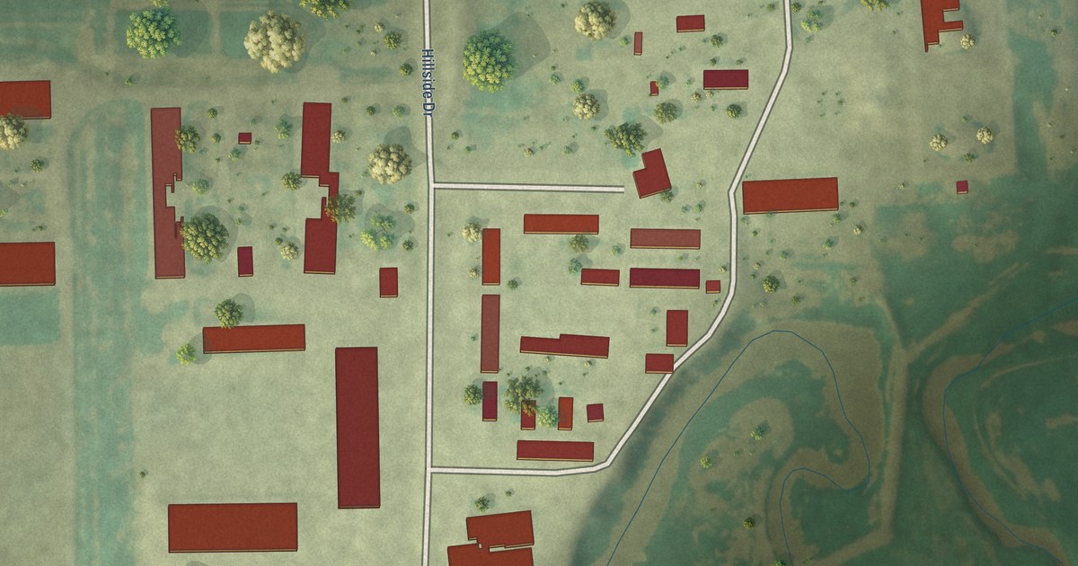
A detailed map of Hillside Colony, South Dakota, showing every building in its true location, the roads by name, and shaded topographical relief.
Read More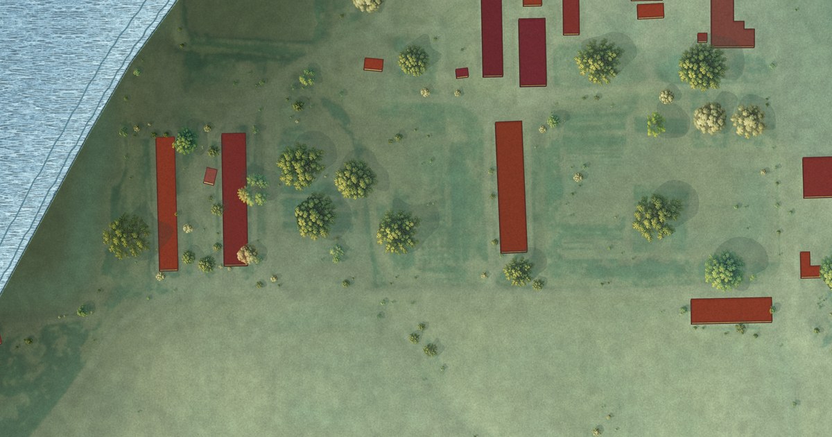
A detailed map of Hillcrest Colony, South Dakota, showing every building in its true location, the roads by name, and shaded topographical relief.
Read More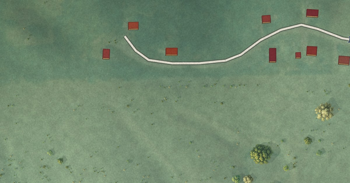
A detailed map of Kickapoo Site 5, Kansas, showing every building in its true location, the roads by name, and shaded topographical relief.
Read More
A detailed map of Kickapoo Site 2, Kansas, showing every building in its true location, the roads by name, and shaded topographical relief.
Read More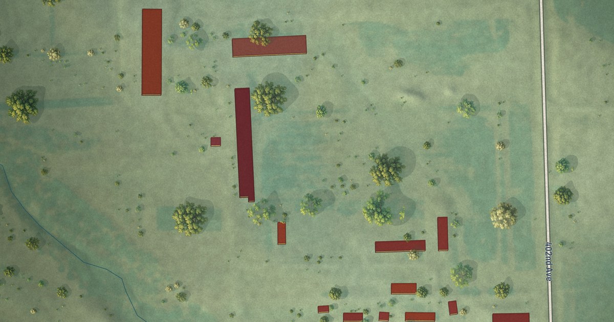
A detailed map of Greenwood Colony, South Dakota, showing every building in its true location, the roads by name, and shaded topographical relief.
Read More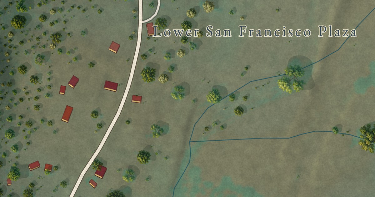
A detailed map of Lower Frisco, New Mexico, showing every building in its true location, the roads by name, and shaded topographical relief.
Read More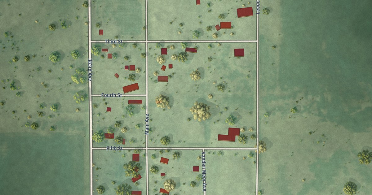
A detailed map of Harrison, South Dakota, showing every building in its true location, the roads by name, and shaded topographical relief.
Read More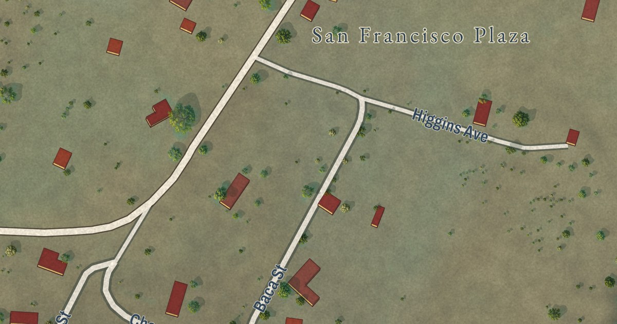
A detailed map of Middle Frisco, New Mexico, showing every building in its true location, the roads by name, and shaded topographical relief.
Read More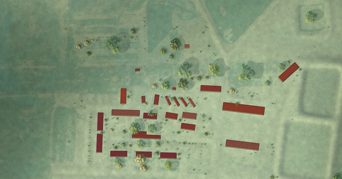
A detailed map of Grass Ranch Colony, South Dakota, showing every building in its true location, the roads by name, and shaded topographical relief.
Read More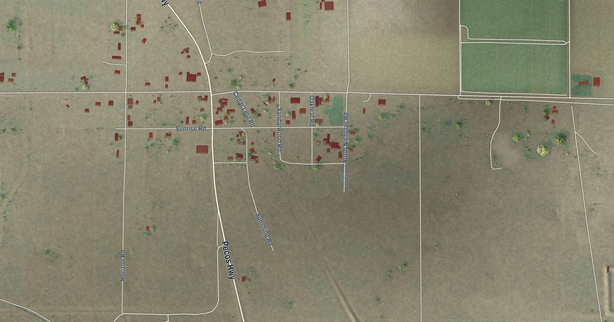
A detailed map of Malaga, New Mexico, showing every building in its true location, the roads by name, and shaded topographical relief.
Read More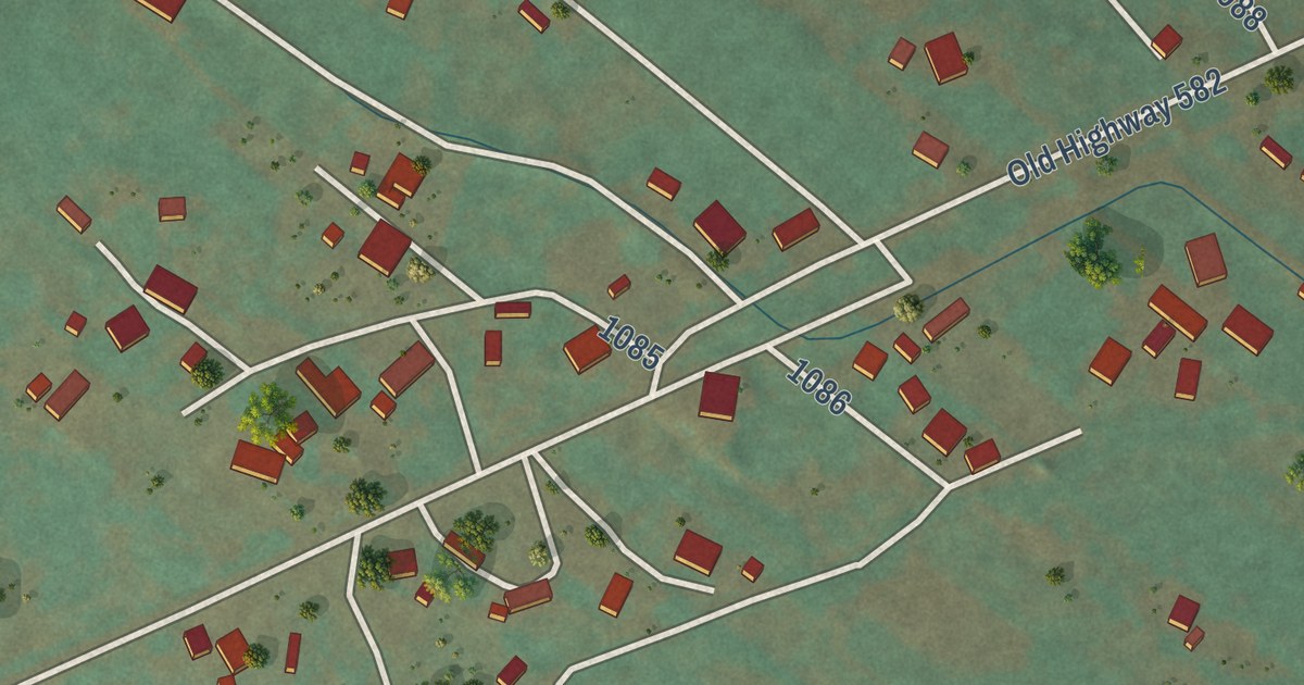
A detailed map of Lyden, New Mexico, showing every building in its true location, the roads by name, and shaded topographical relief.
Read More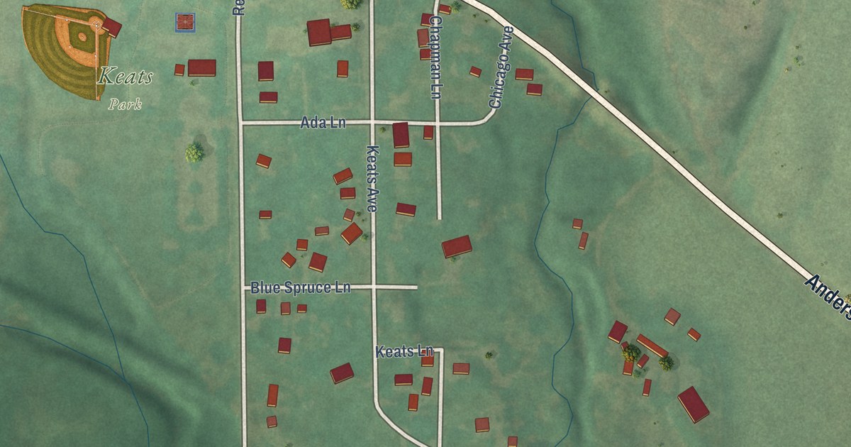
A detailed map of Keats, Kansas, showing every building in its true location, the roads by name, and shaded topographical relief.
Read More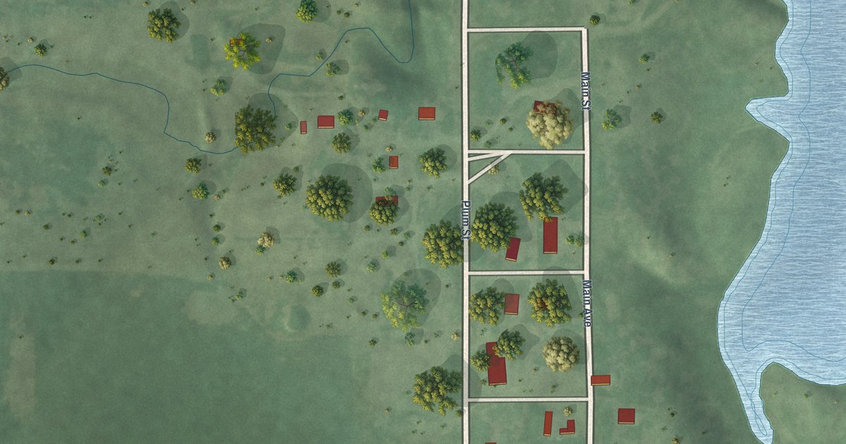
A detailed map of Hamill, South Dakota, showing every building in its true location, the roads by name, and shaded topographical relief.
Read More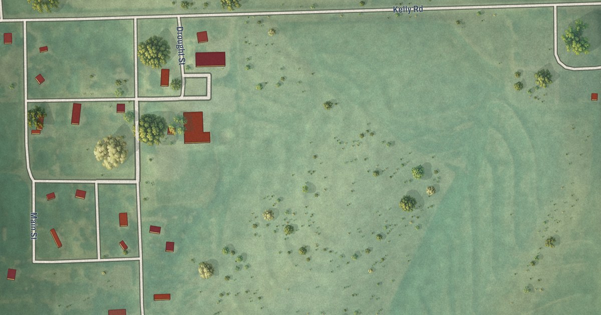
A detailed map of Kelly, Kansas, showing every building in its true location, the roads by name, and shaded topographical relief.
Read More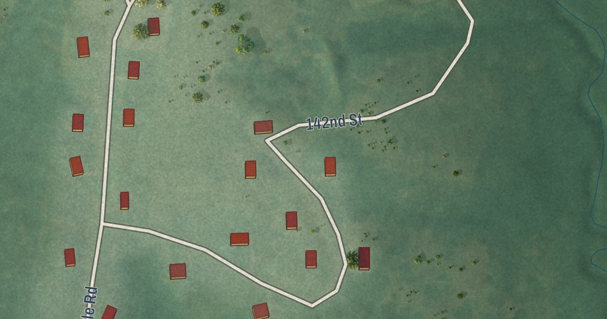
A detailed map of Kickapoo Site 1, Kansas, showing every building in its true location, the roads by name, and shaded topographical relief.
Read More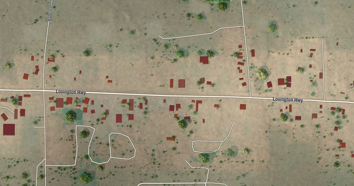
A detailed map of Loco Hills, New Mexico, showing every building in its true location, the roads by name, and shaded topographical relief.
Read More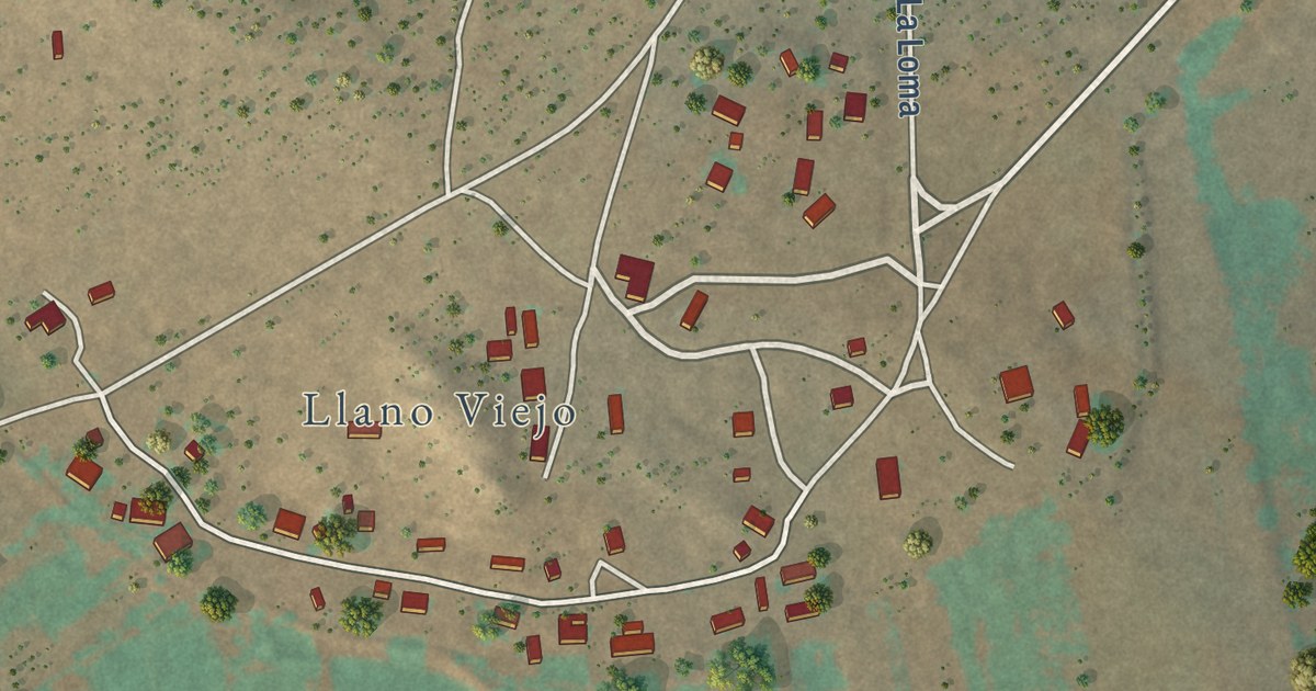
A detailed map of Llano del Medio, New Mexico, showing every building in its true location, the roads by name, and shaded topographical relief.
Read More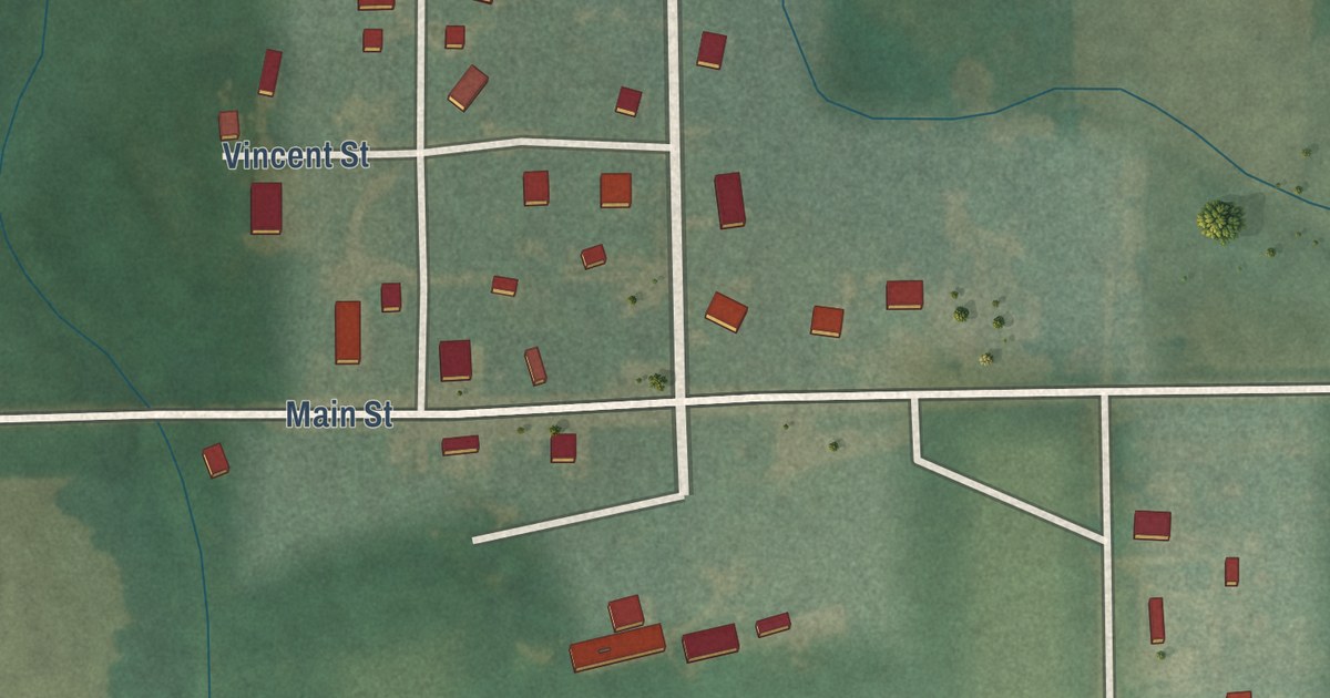
A detailed map of Idana, Kansas, showing every building in its true location, the roads by name, and shaded topographical relief.
Read More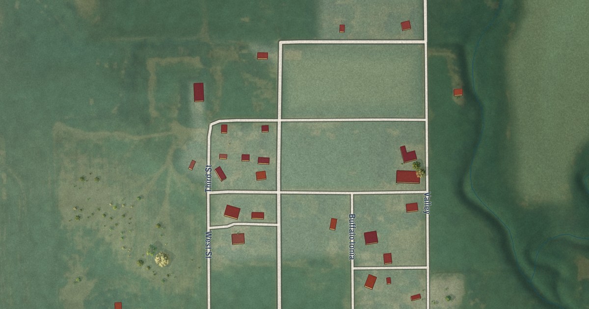
A detailed map of Ionia, Kansas, showing every building in its true location, the roads by name, and shaded topographical relief.
Read More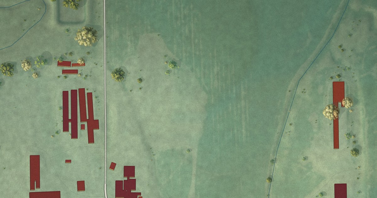
A detailed map of Graceville Colony, South Dakota, showing every building in its true location, the roads by name, and shaded topographical relief.
Read More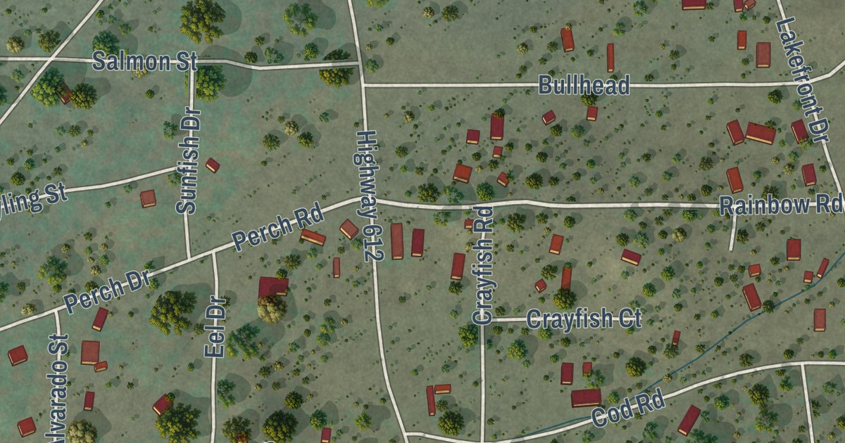
A detailed map of Las Tusas, New Mexico, showing every building in its true location, the roads by name, and shaded topographical relief.
Read More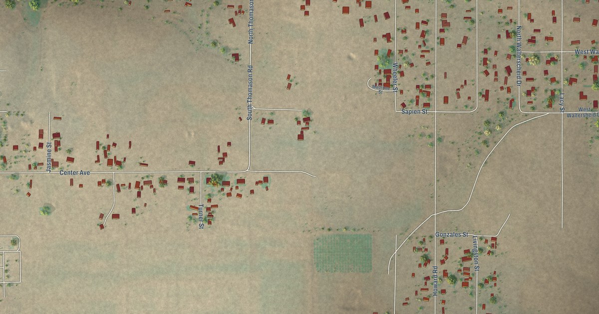
A detailed map of Livingston Wheeler, New Mexico, showing every building in its true location, the roads by name, and shaded topographical relief.
Read More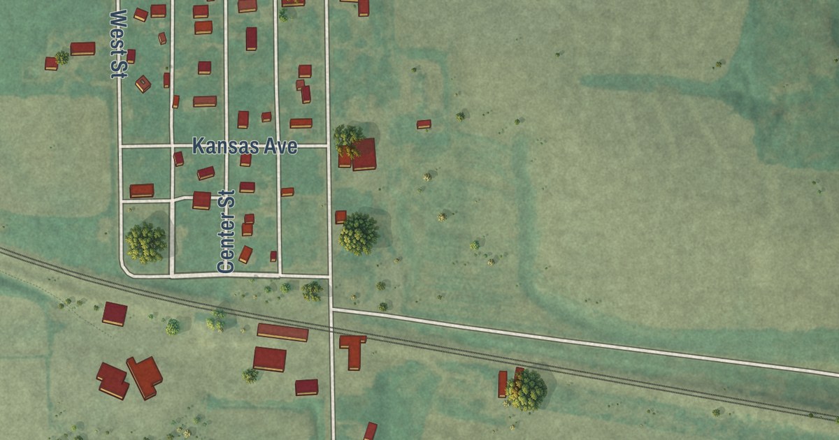
A detailed map of Herkimer, Kansas, showing every building in its true location, the roads by name, and shaded topographical relief.
Read More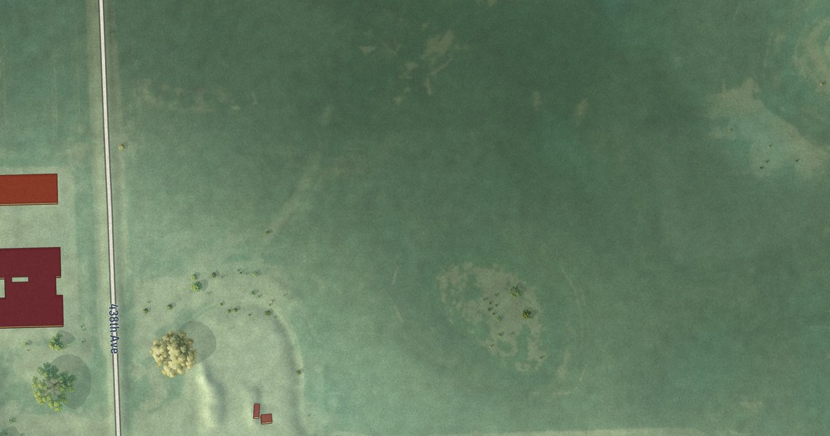
A detailed map of Golden View Colony, South Dakota, showing every building in its true location, the roads by name, and shaded topographical relief.
Read More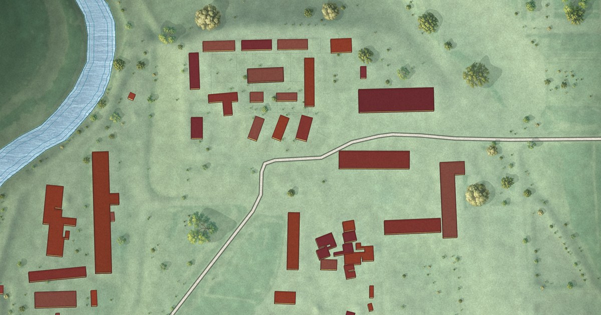
A detailed map of Glendale Colony, South Dakota, showing every building in its true location, the roads by name, and shaded topographical relief.
Read More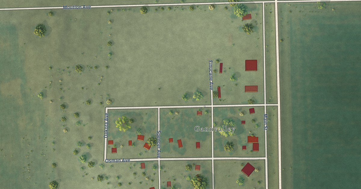
A detailed map of Gann Valley, South Dakota, showing every building in its true location, the roads by name, and shaded topographical relief.
Read More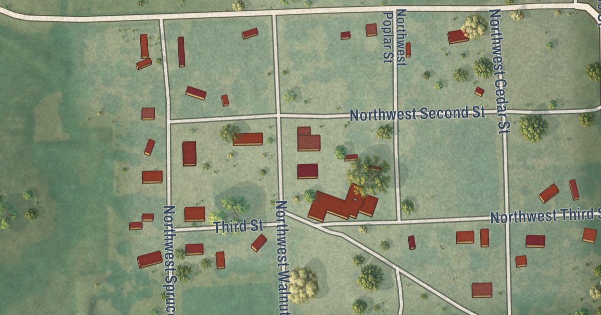
A detailed map of Harris, Kansas, showing every building in its true location, the roads by name, and shaded topographical relief.
Read More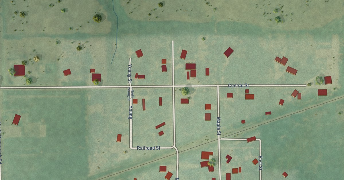
A detailed map of Greenwich, Kansas, showing every building in its true location, the roads by name, and shaded topographical relief.
Read More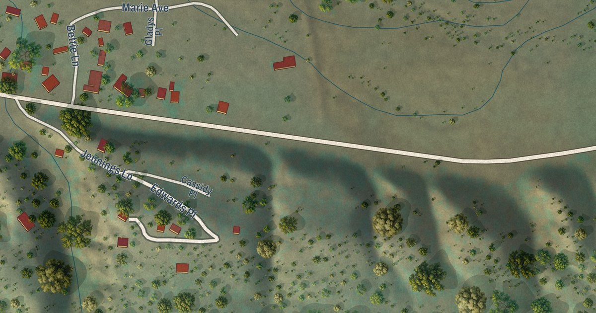
A detailed map of Lake Roberts Heights, New Mexico, showing every building in its true location, the roads by name, and shaded topographical relief.
Read More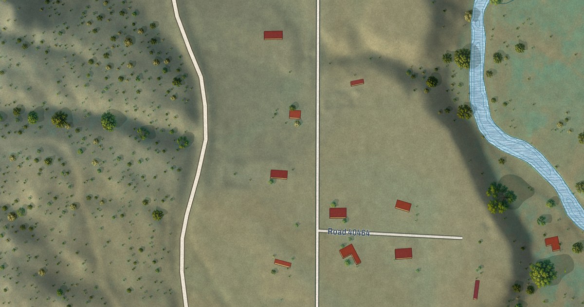
A detailed map of La Boca, New Mexico, showing every building in its true location, the roads by name, and shaded topographical relief.
Read More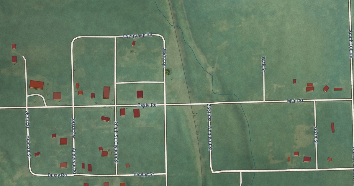
A detailed map of Garland, Kansas, showing every building in its true location, the roads by name, and shaded topographical relief.
Read More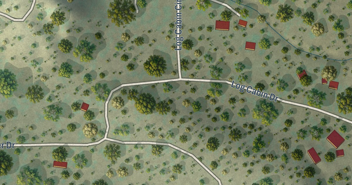
A detailed map of Homestead, New Mexico, showing every building in its true location, the roads by name, and shaded topographical relief.
Read More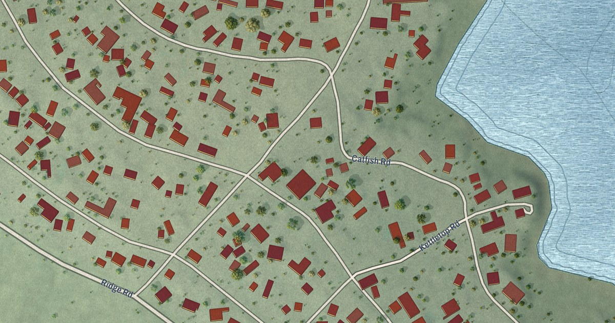
A detailed map of Hot Springs Landing, New Mexico, showing every building in its true location, the roads by name, and shaded topographical relief.
Read More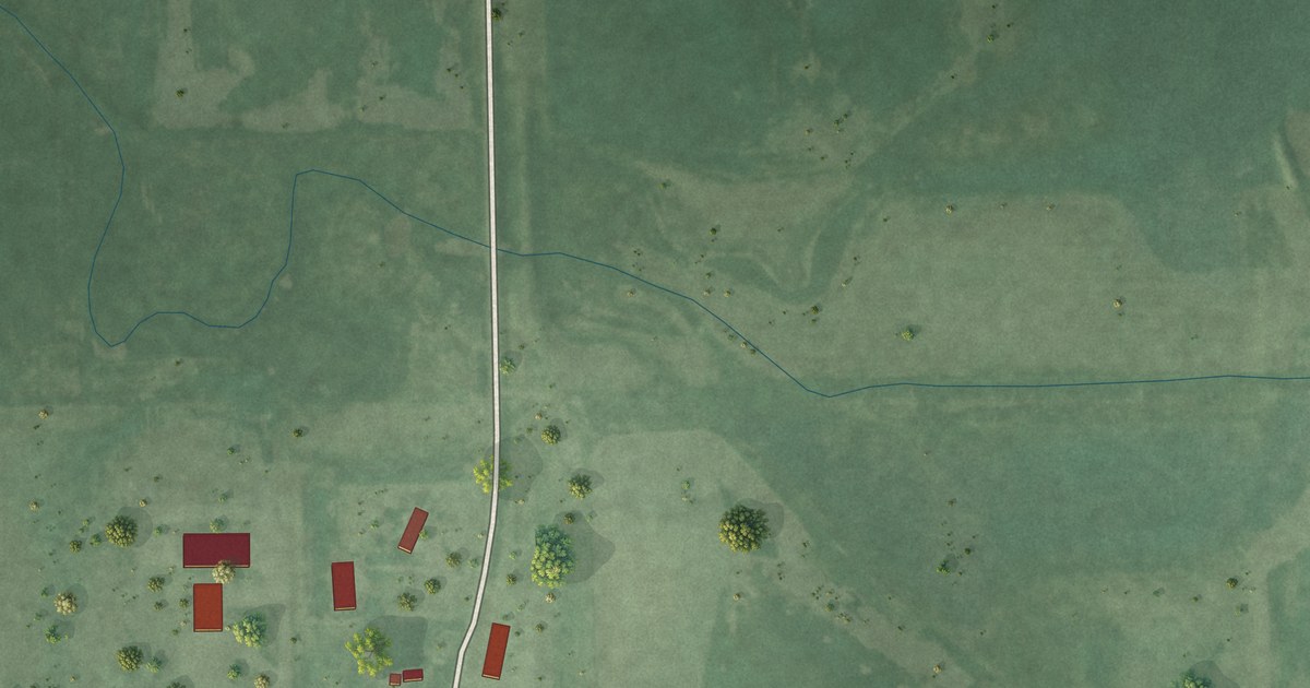
A detailed map of Ferney, South Dakota, showing every building in its true location, the roads by name, and shaded topographical relief.
Read More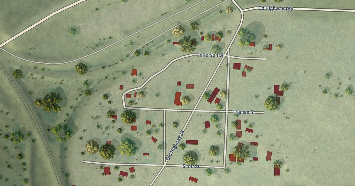
A detailed map of Dudley, South Dakota, showing every building in its true location, the roads by name, and shaded topographical relief.
Read More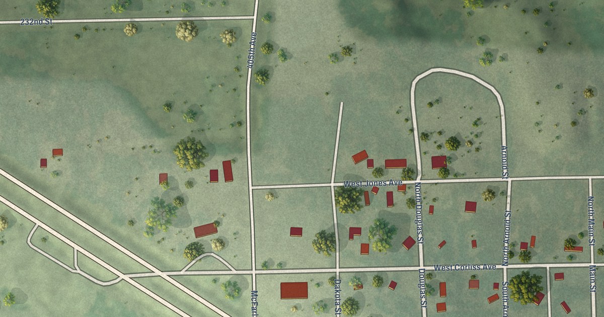
A detailed map of Forestburg, South Dakota, showing every building in its true location, the roads by name, and shaded topographical relief.
Read More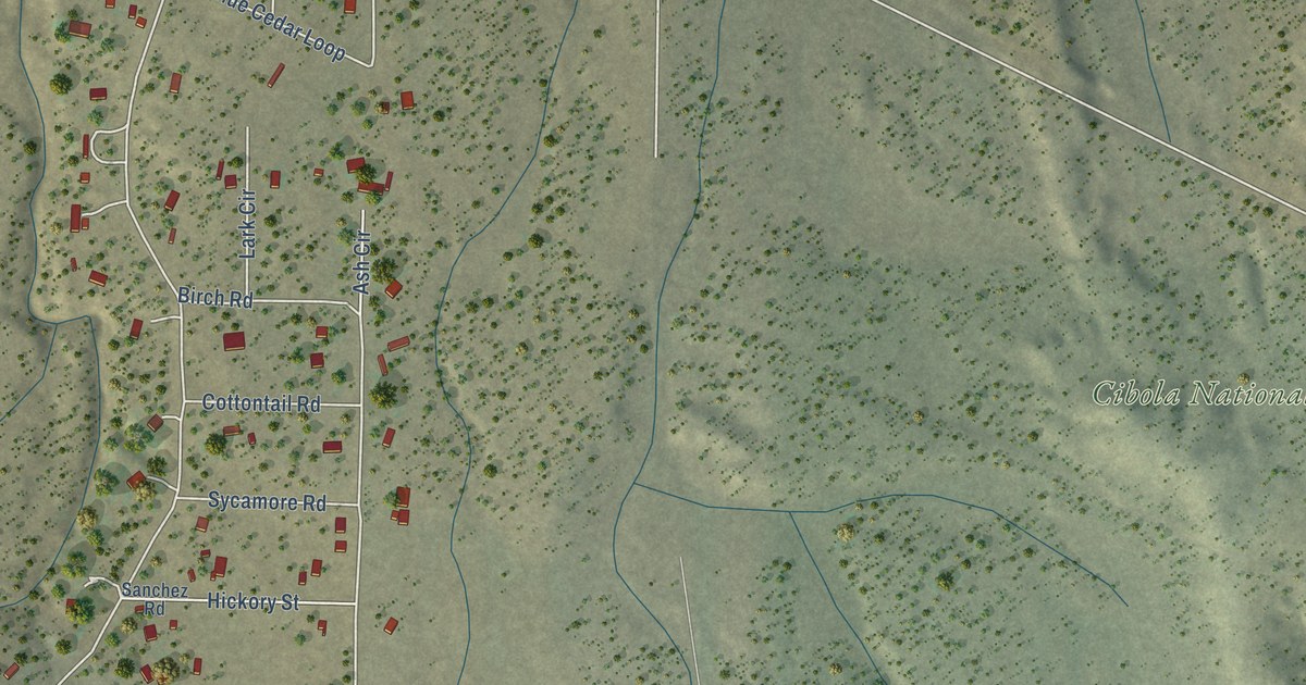
A detailed map of Jamestown, New Mexico, showing every building in its true location, the roads by name, and shaded topographical relief.
Read More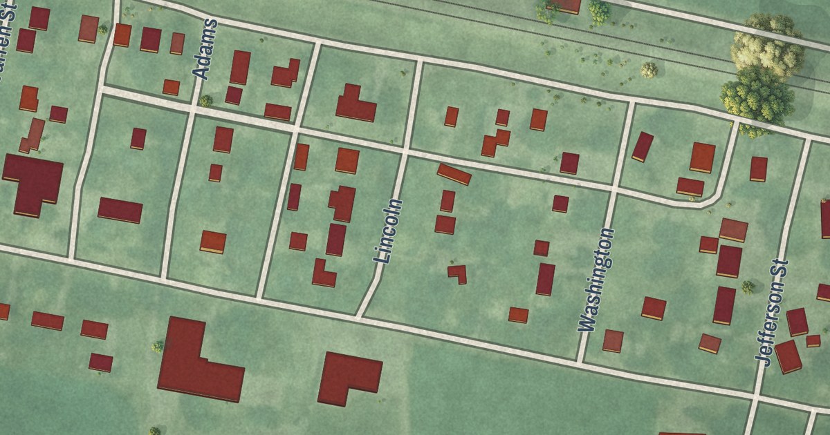
A detailed map of Grantville, Kansas, showing every building in its true location, the roads by name, and shaded topographical relief.
Read More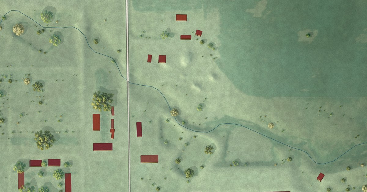
A detailed map of Evergreen Colony, South Dakota, showing every building in its true location, the roads by name, and shaded topographical relief.
Read More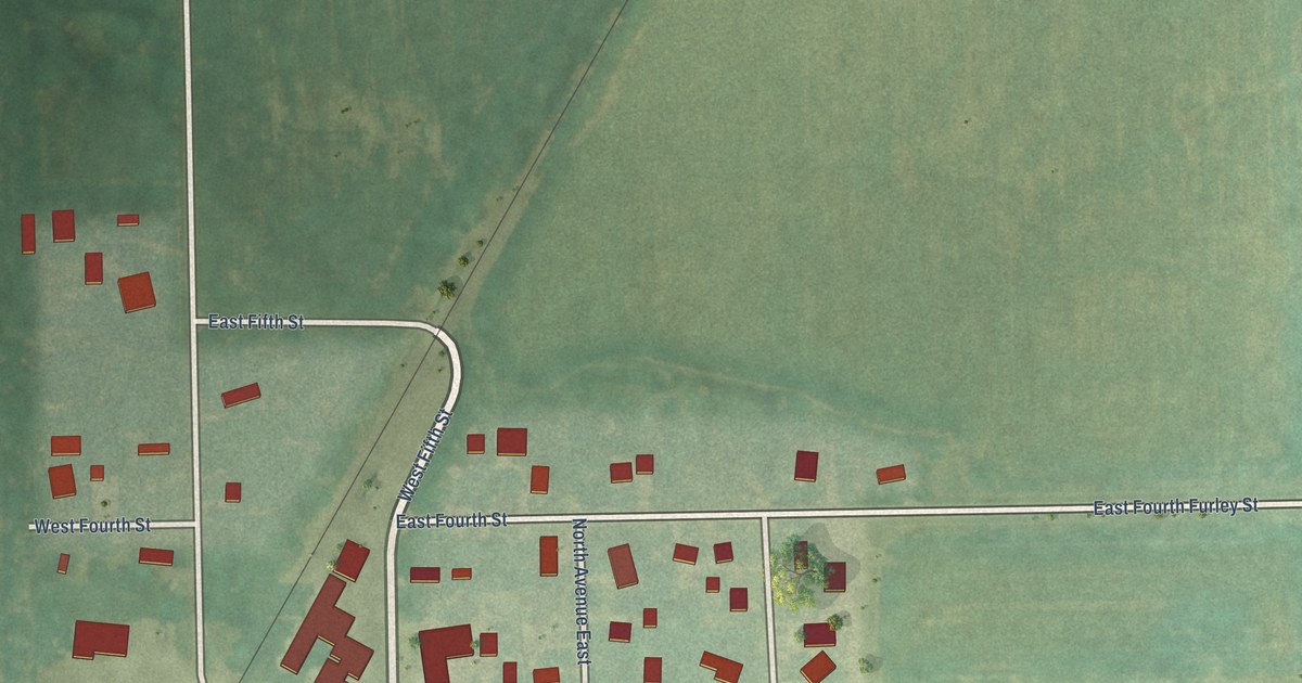
A detailed map of Furley, Kansas, showing every building in its true location, the roads by name, and shaded topographical relief.
Read More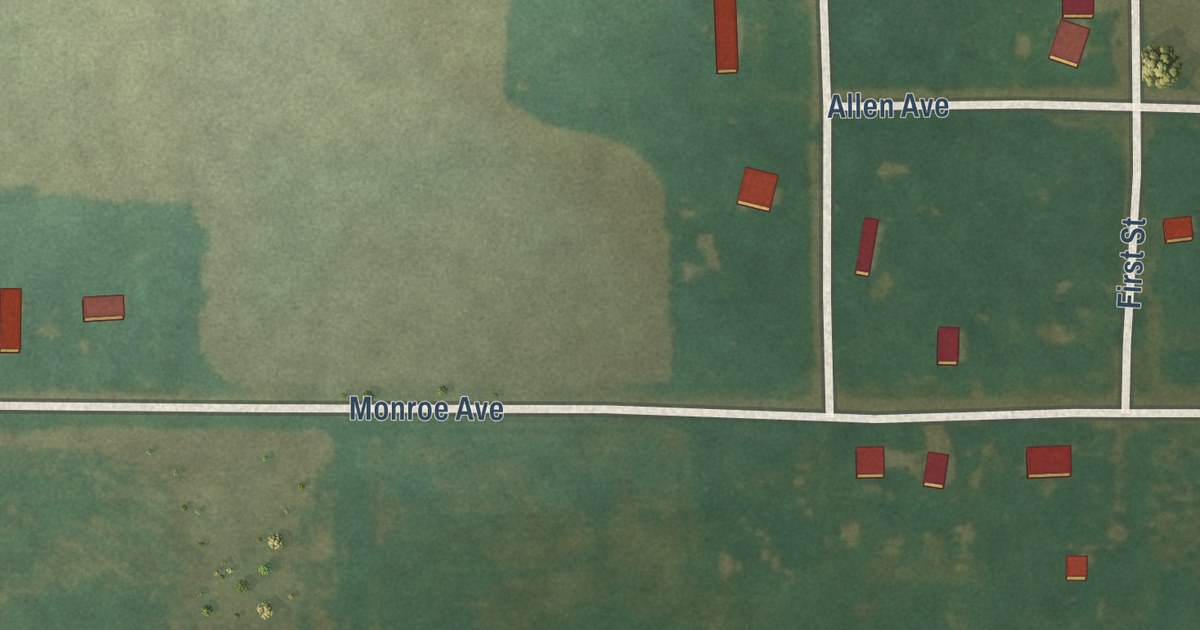
A detailed map of Frederick, Kansas, showing every building in its true location, the roads by name, and shaded topographical relief.
Read More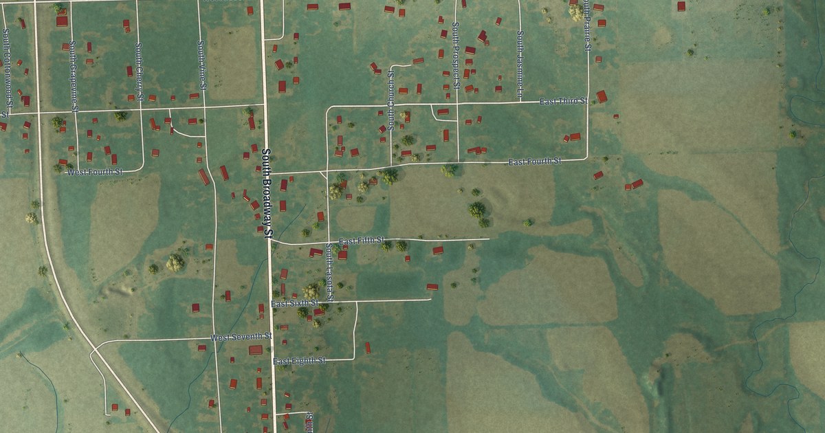
A detailed map of Franklin, Kansas, showing every building in its true location, the roads by name, and shaded topographical relief.
Read More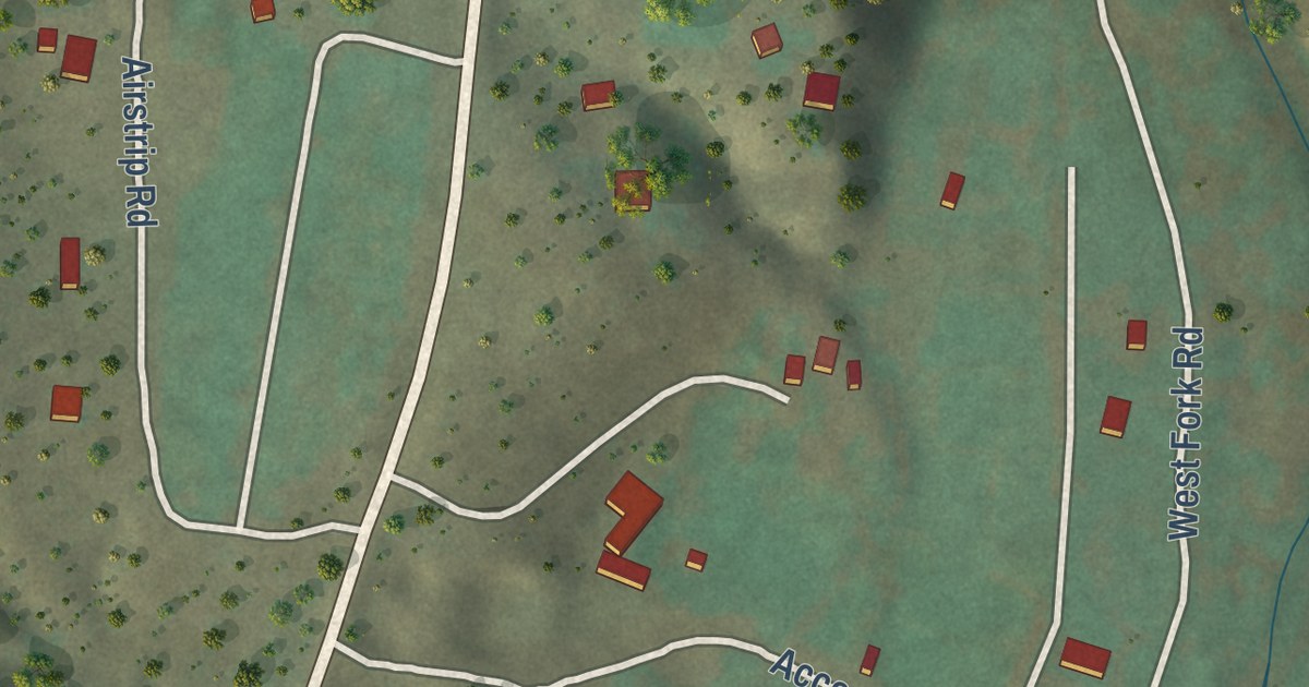
A detailed map of Gila Hot Springs, New Mexico, showing every building in its true location, the roads by name, and shaded topographical relief.
Read More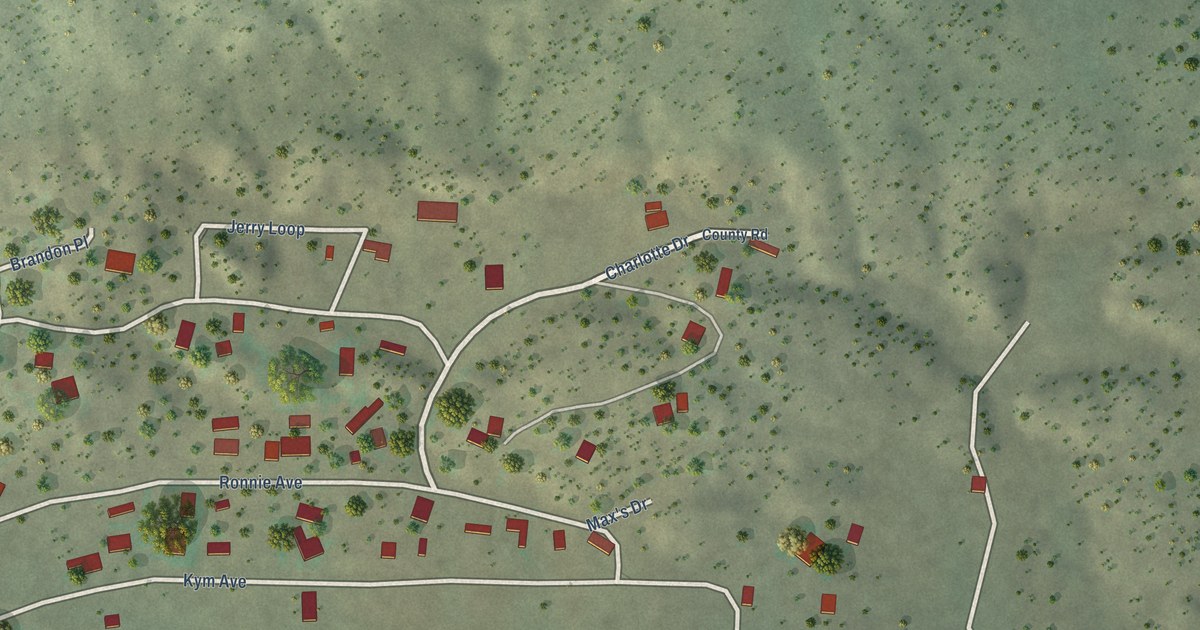
A detailed map of Homer C Jones, New Mexico, showing every building in its true location, the roads by name, and shaded topographical relief.
Read More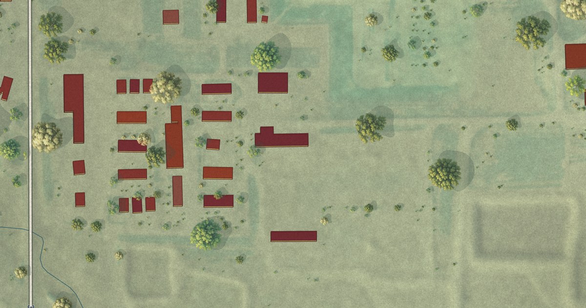
A detailed map of Deerfield Colony, South Dakota, showing every building in its true location, the roads by name, and shaded topographical relief.
Read More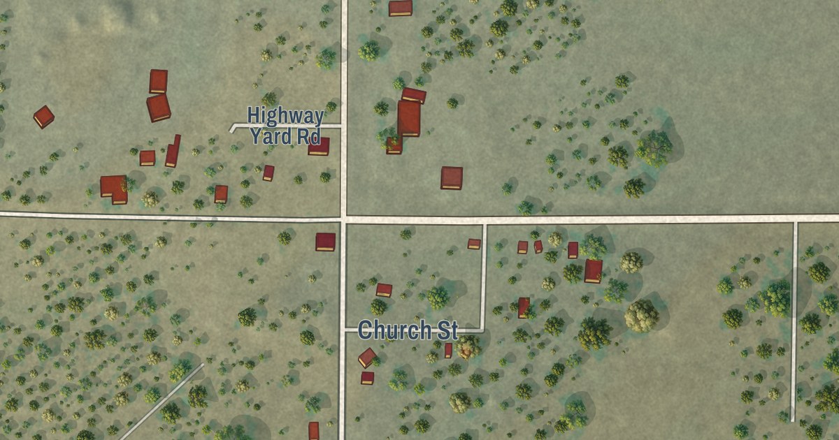
A detailed map of Fence Lake, New Mexico, showing every building in its true location, the roads by name, and shaded topographical relief.
Read More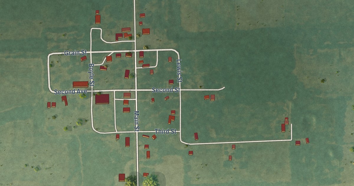
A detailed map of Dennis, Kansas, showing every building in its true location, the roads by name, and shaded topographical relief.
Read More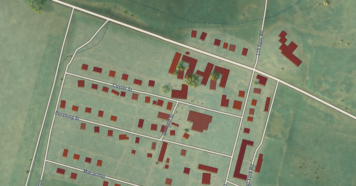
A detailed map of Fort Dodge, Kansas, showing every building in its true location, the roads by name, and shaded topographical relief.
Read More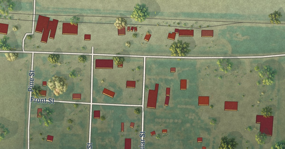
A detailed map of Edson, Kansas, showing every building in its true location, the roads by name, and shaded topographical relief.
Read More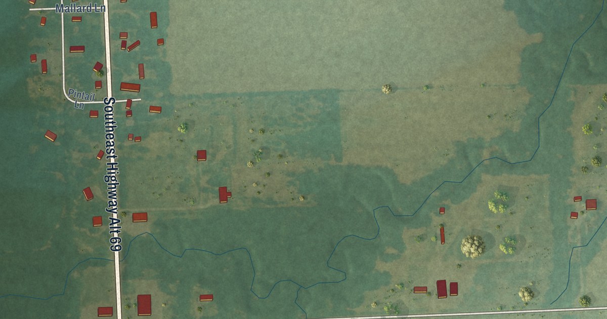
A detailed map of Crestline, Kansas, showing every building in its true location, the roads by name, and shaded topographical relief.
Read More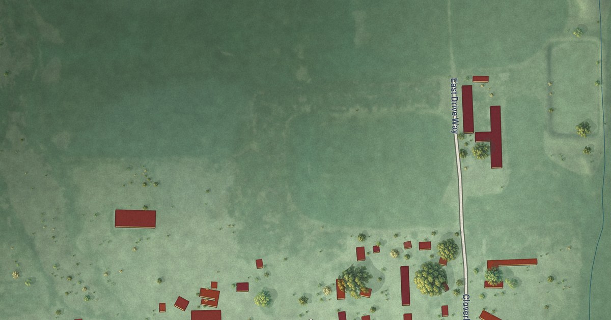
A detailed map of Cloverleaf Colony, South Dakota, showing every building in its true location, the roads by name, and shaded topographical relief.
Read More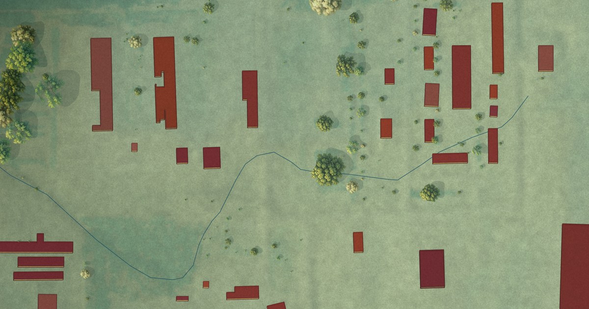
A detailed map of Clearfield Colony, South Dakota, showing every building in its true location, the roads by name, and shaded topographical relief.
Read More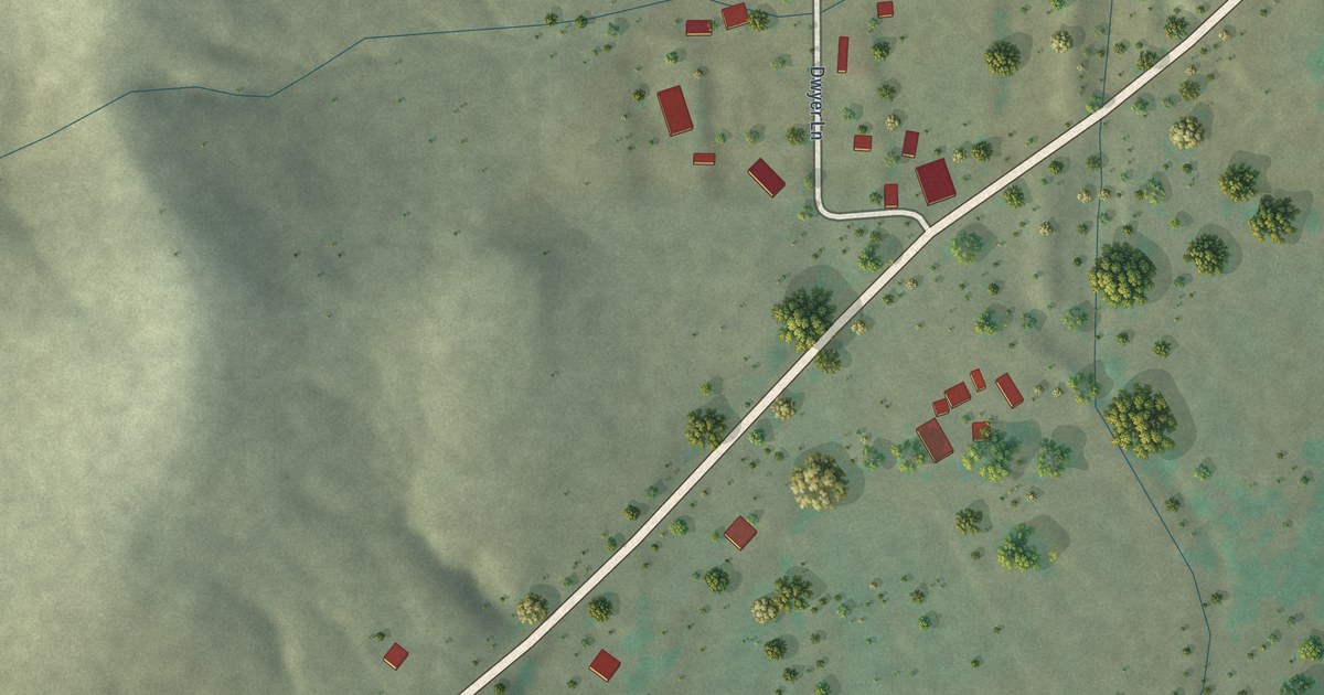
A detailed map of Faywood, New Mexico, showing every building in its true location, the roads by name, and shaded topographical relief.
Read More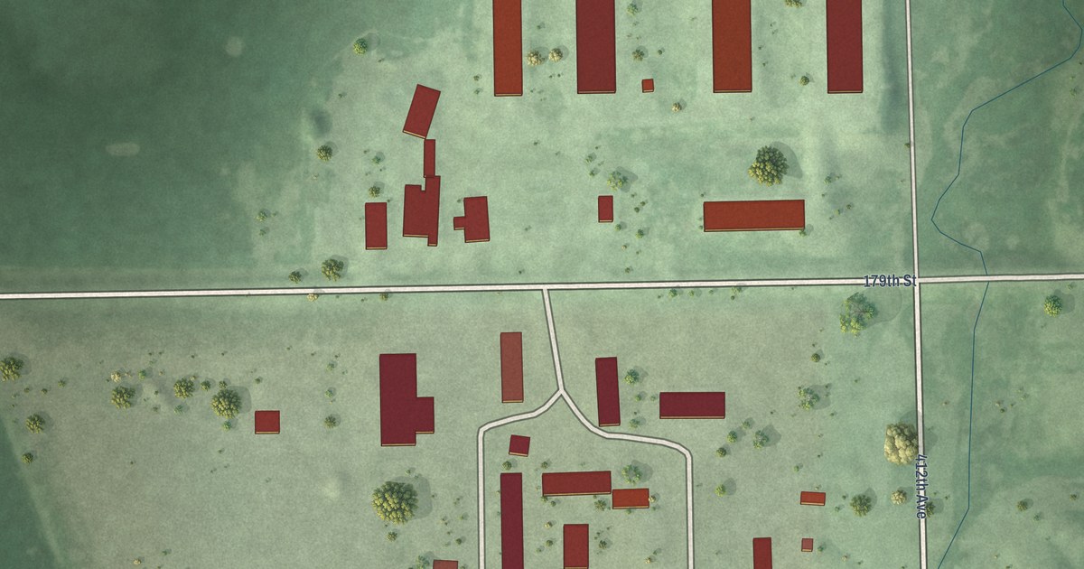
A detailed map of Clark Colony, South Dakota, showing every building in its true location, the roads by name, and shaded topographical relief.
Read More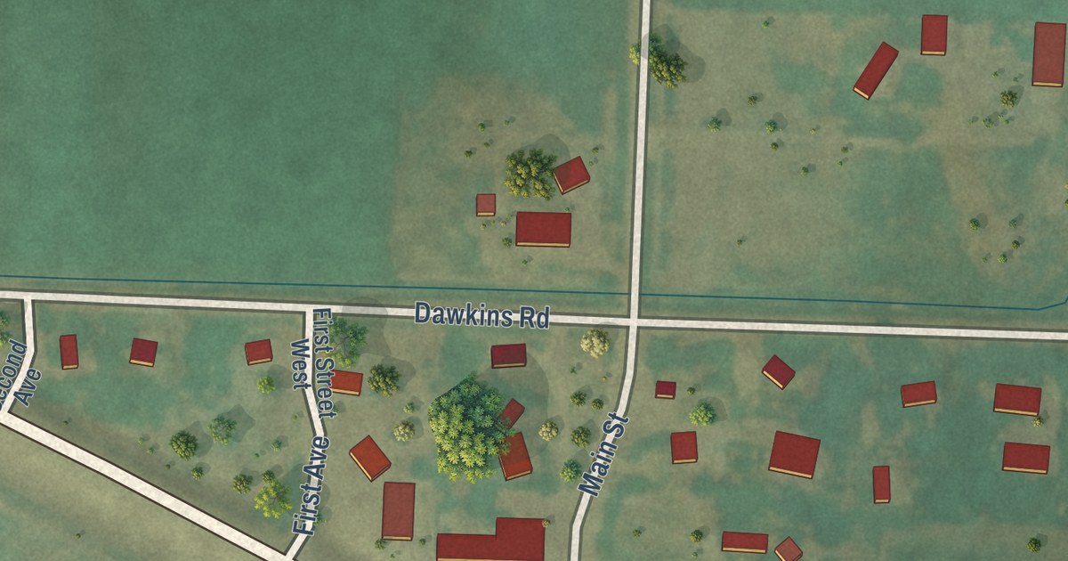
A detailed map of Caputa, South Dakota, showing every building in its true location, the roads by name, and shaded topographical relief.
Read More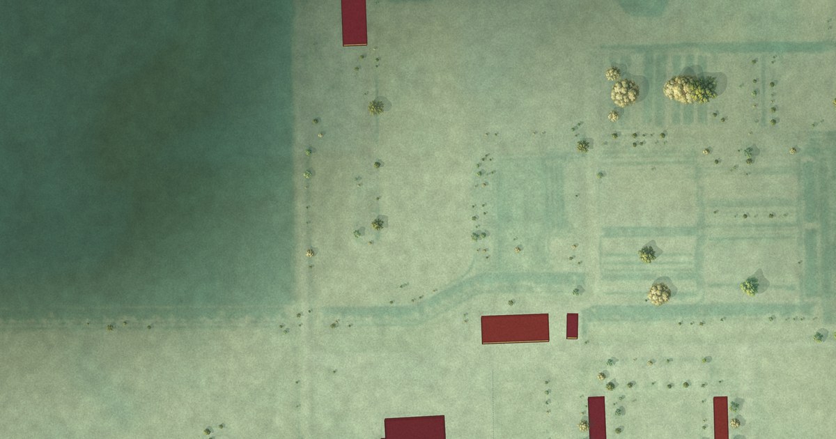
A detailed map of Camrose Colony, South Dakota, showing every building in its true location, the roads by name, and shaded topographical relief.
Read More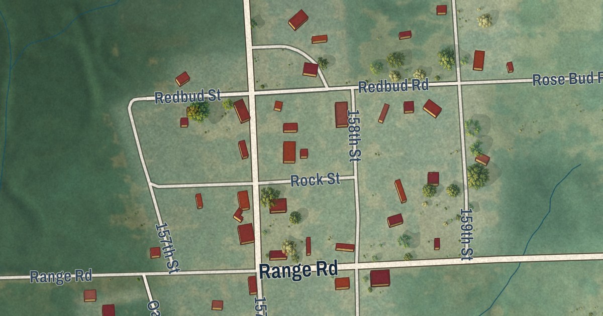
A detailed map of Devon, Kansas, showing every building in its true location, the roads by name, and shaded topographical relief.
Read More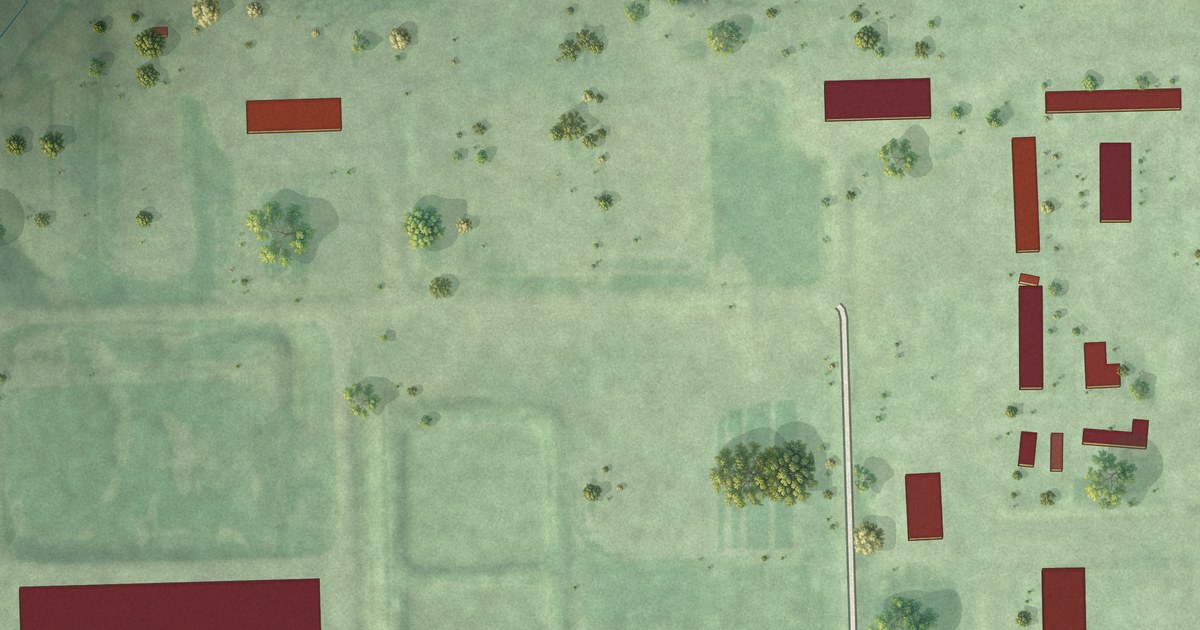
A detailed map of Collins Colony, South Dakota, showing every building in its true location, the roads by name, and shaded topographical relief.
Read More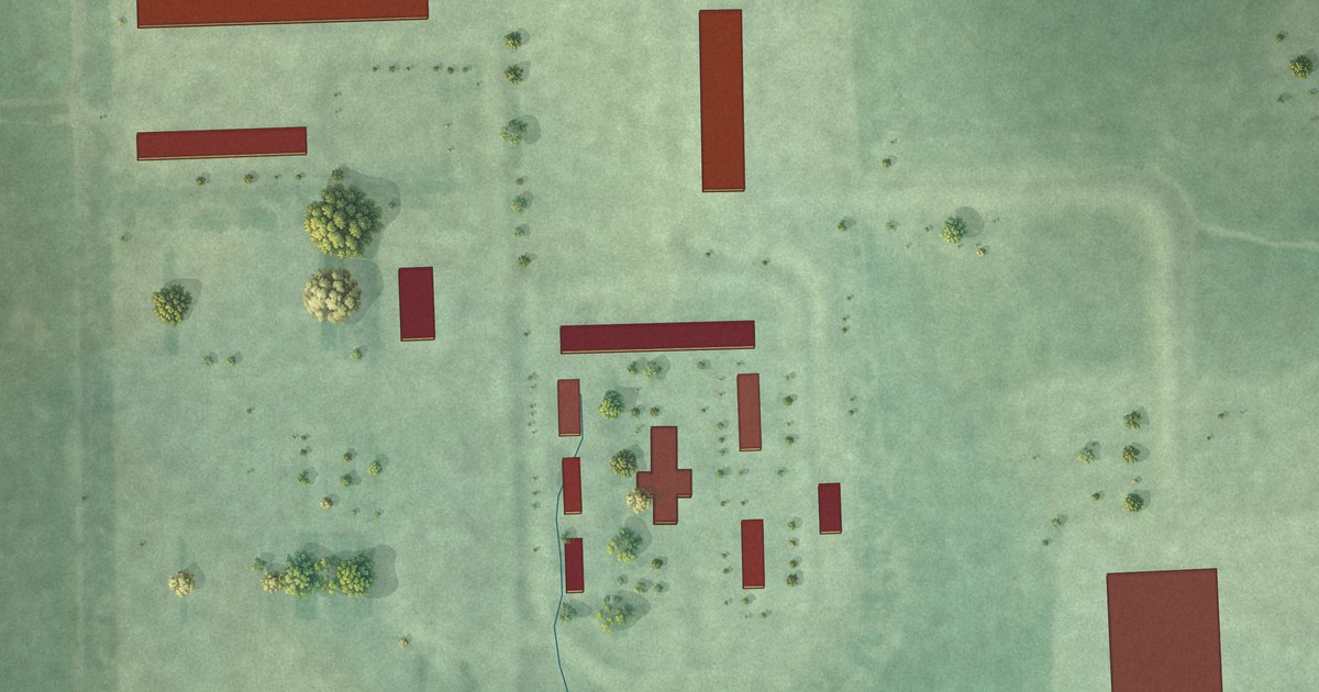
A detailed map of Claremont Colony, South Dakota, showing every building in its true location, the roads by name, and shaded topographical relief.
Read More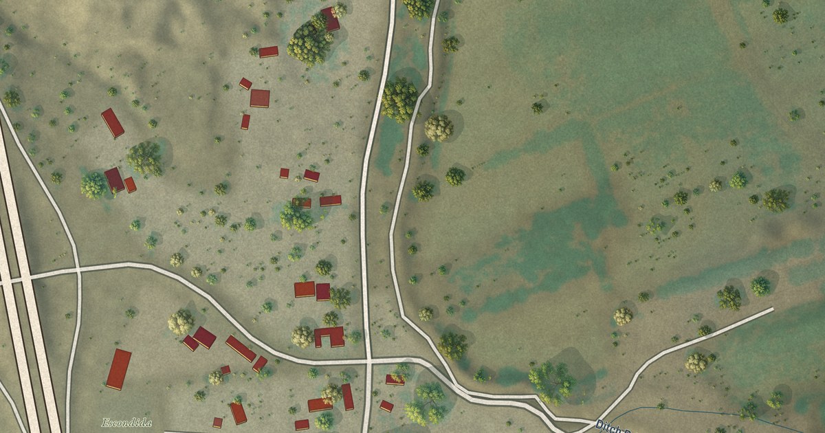
A detailed map of Escondida, New Mexico, showing every building in its true location, the roads by name, and shaded topographical relief.
Read More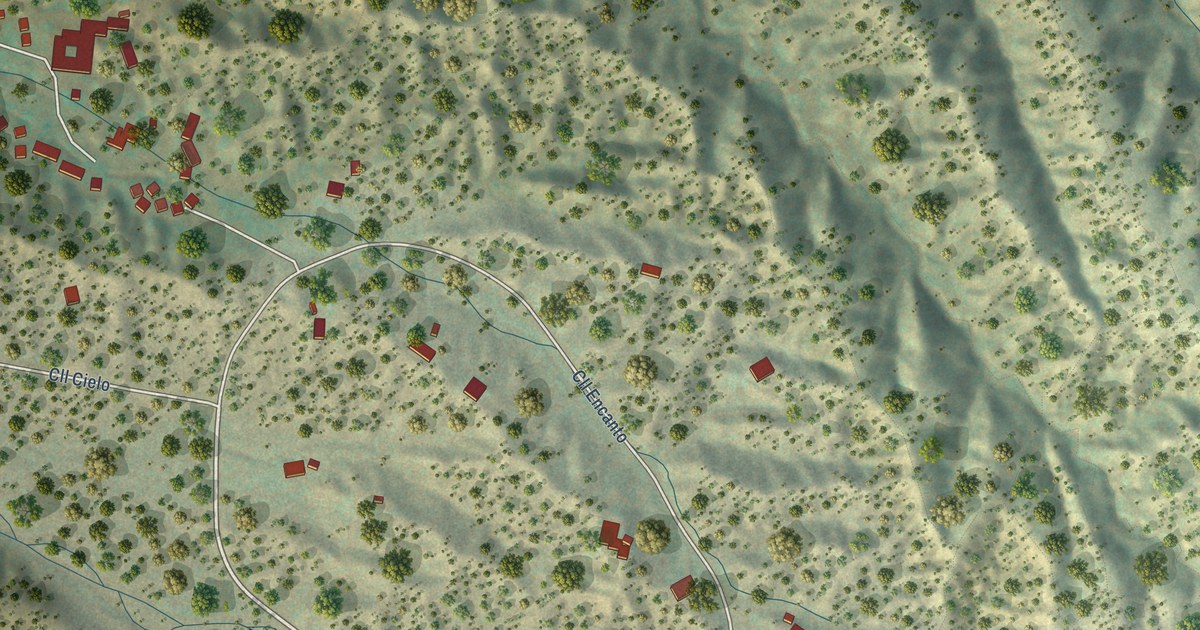
A detailed map of Encantado, New Mexico, showing every building in its true location, the roads by name, and shaded topographical relief.
Read More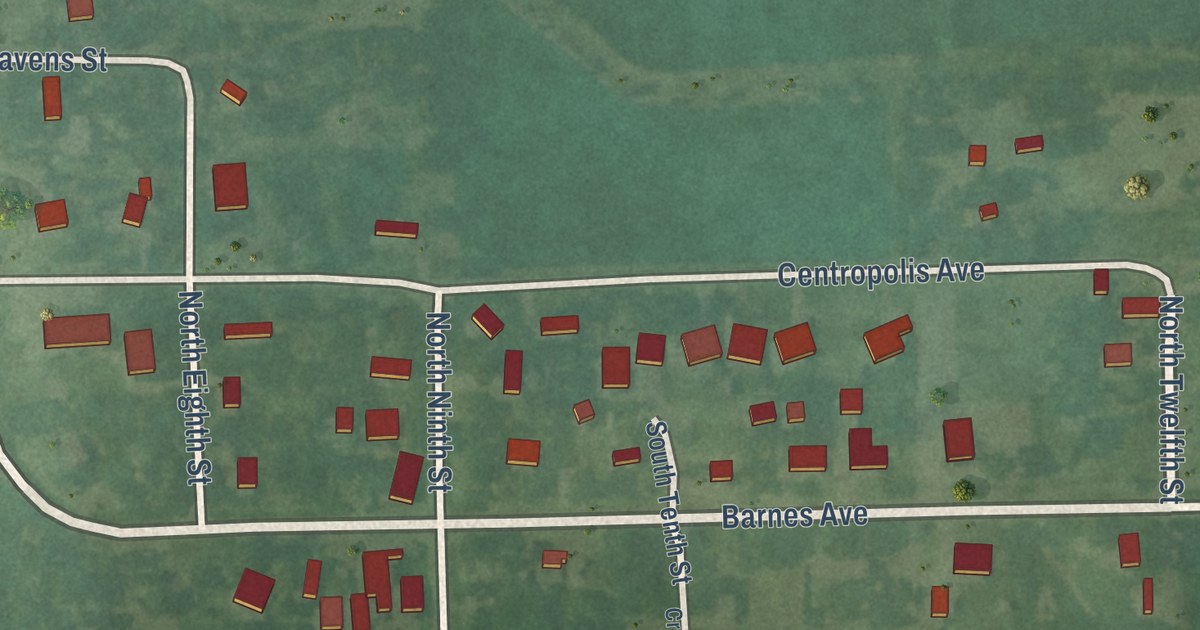
A detailed map of Centropolis, Kansas, showing every building in its true location, the roads by name, and shaded topographical relief.
Read More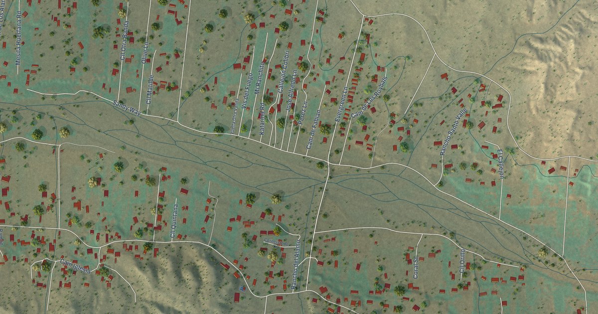
A detailed map of El Rancho, New Mexico, showing every building in its true location, the roads by name, and shaded topographical relief.
Read More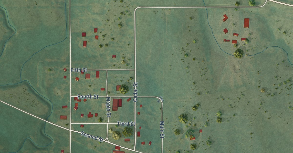
A detailed map of Codell, Kansas, showing every building in its true location, the roads by name, and shaded topographical relief.
Read More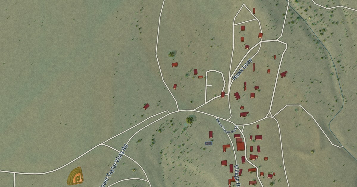
A detailed map of Encinal, New Mexico, showing every building in its true location, the roads by name, and shaded topographical relief.
Read More















