Detailed Map of Bucyrus, Kansas
A detailed map of Bucyrus, Kansas, showing every building in its true location, the roads by name, and shaded topographical relief.
Read More
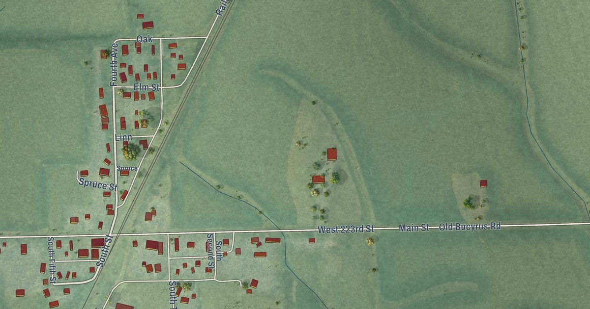
A detailed map of Bucyrus, Kansas, showing every building in its true location, the roads by name, and shaded topographical relief.
Read More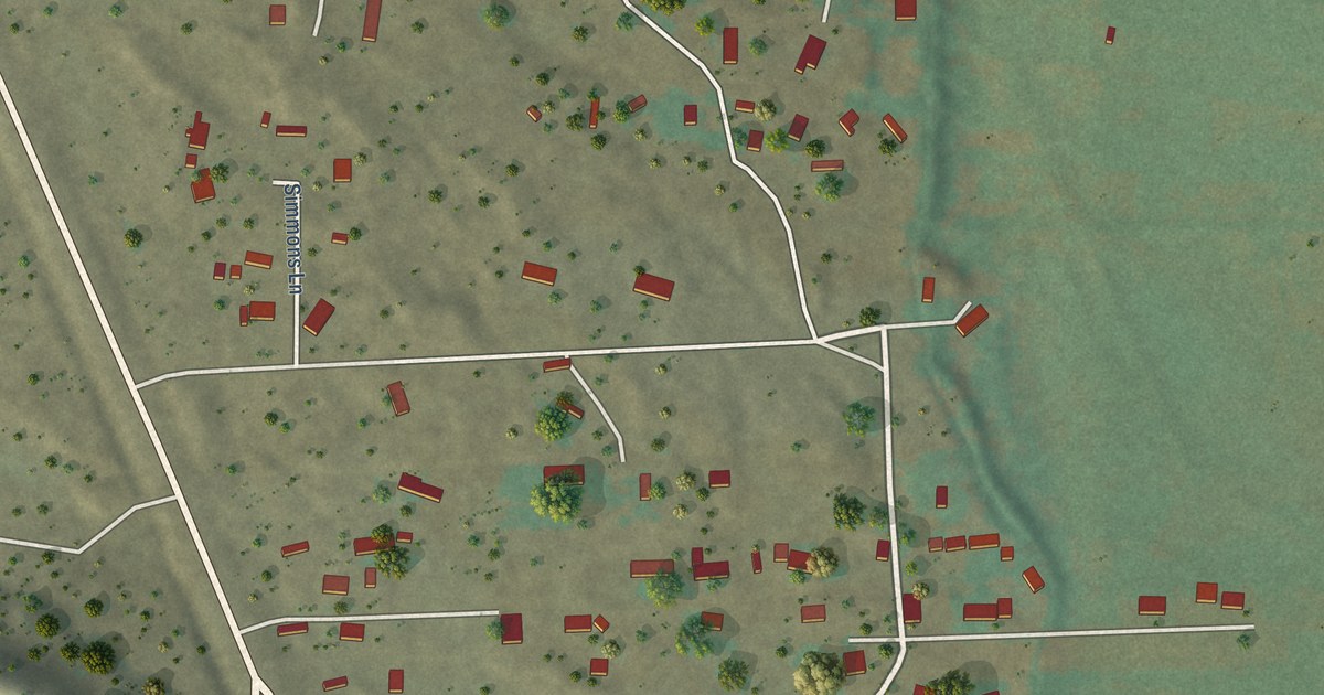
A detailed map of El Duende, New Mexico, showing every building in its true location, the roads by name, and shaded topographical relief.
Read More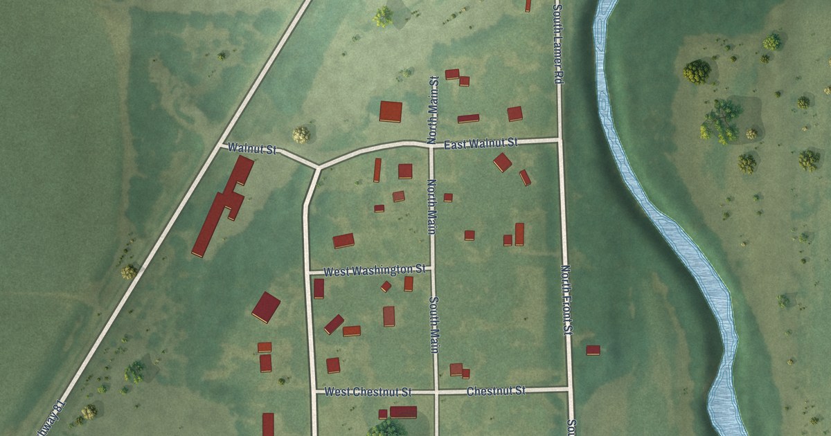
A detailed map of Bridgeport, Kansas, showing every building in its true location, the roads by name, and shaded topographical relief.
Read More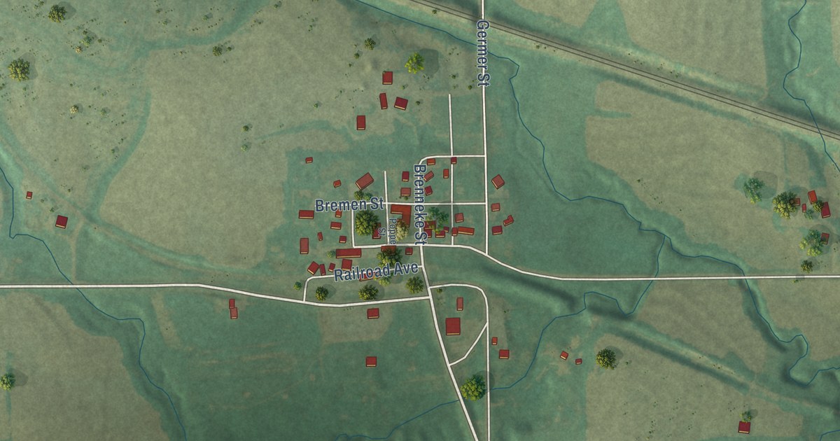
A detailed map of Bremen, Kansas, showing every building in its true location, the roads by name, and shaded topographical relief.
Read More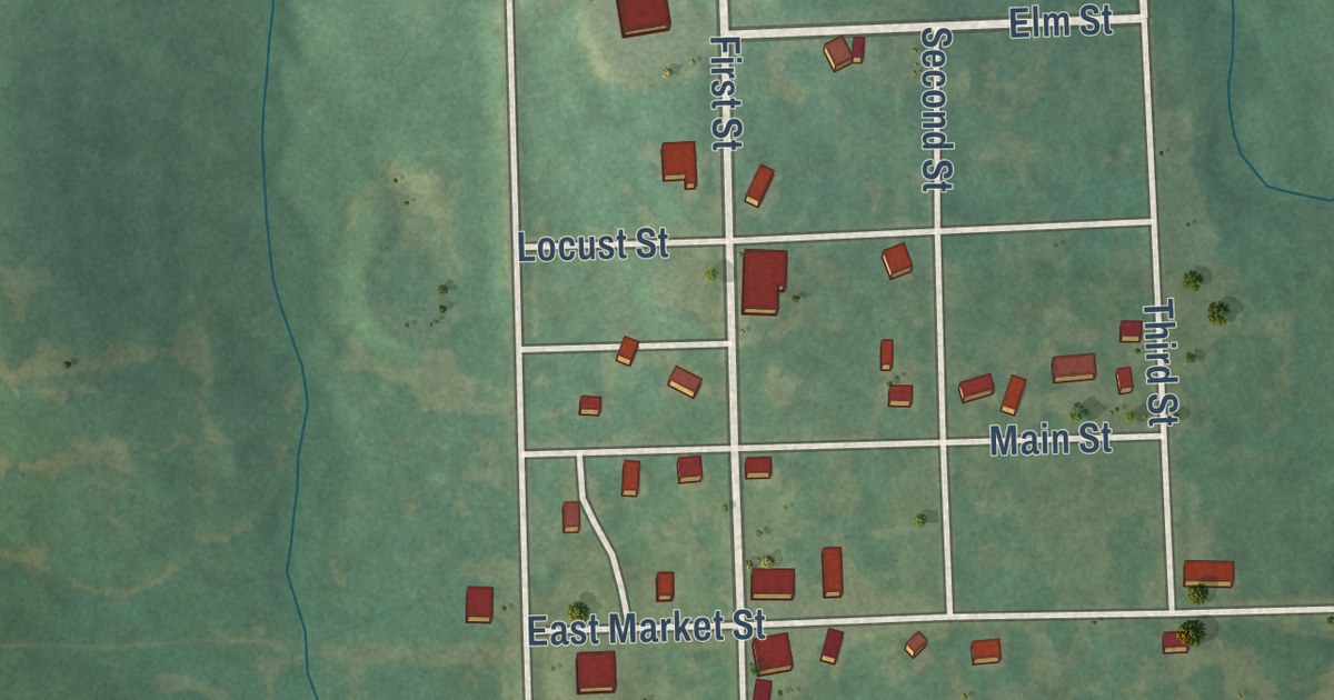
A detailed map of Centerville, Kansas, showing every building in its true location, the roads by name, and shaded topographical relief.
Read More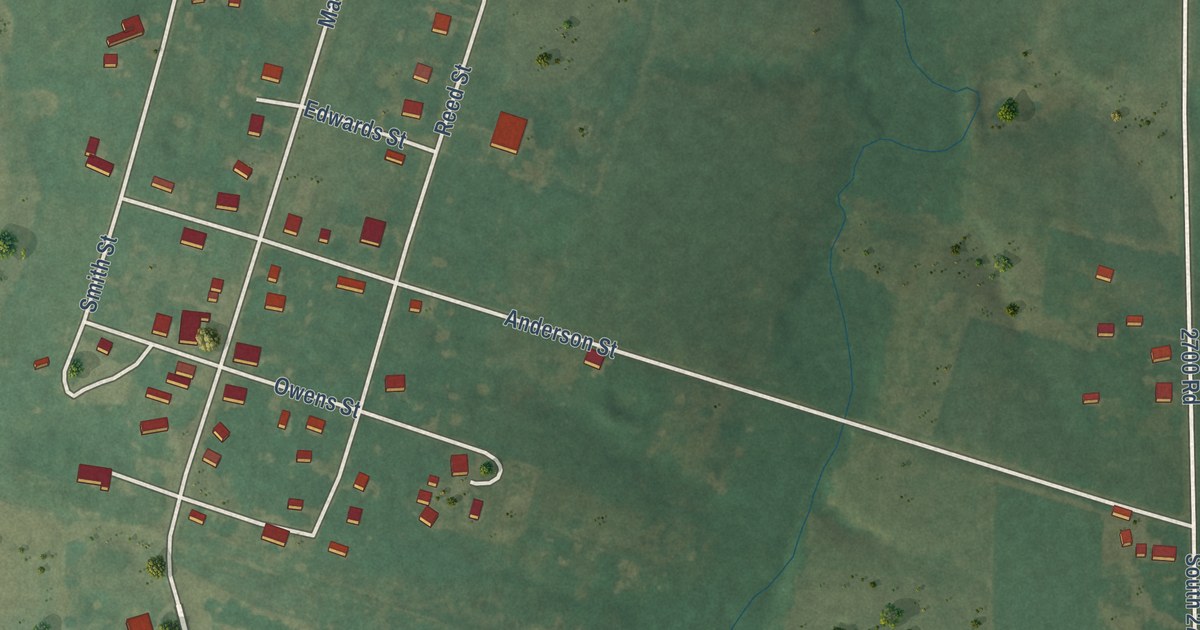
A detailed map of Burdick, Kansas, showing every building in its true location, the roads by name, and shaded topographical relief.
Read More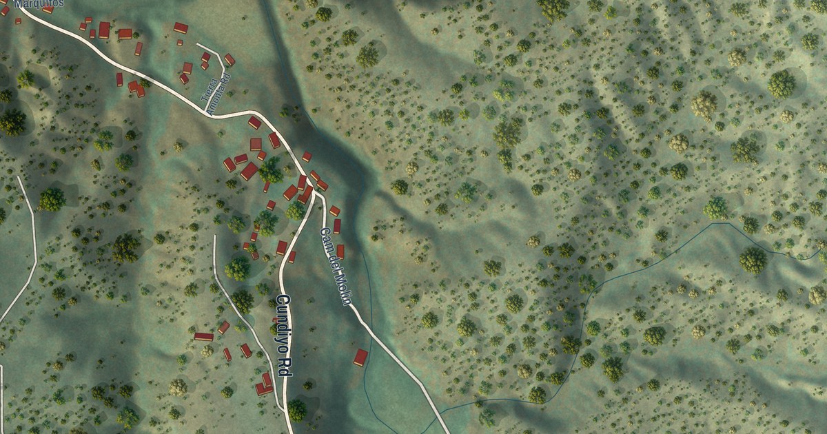
A detailed map of Cundiyo, New Mexico, showing every building in its true location, the roads by name, and shaded topographical relief.
Read More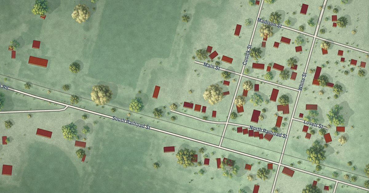
A detailed map of Burbank, South Dakota, showing every building in its true location, the roads by name, and shaded topographical relief.
Read More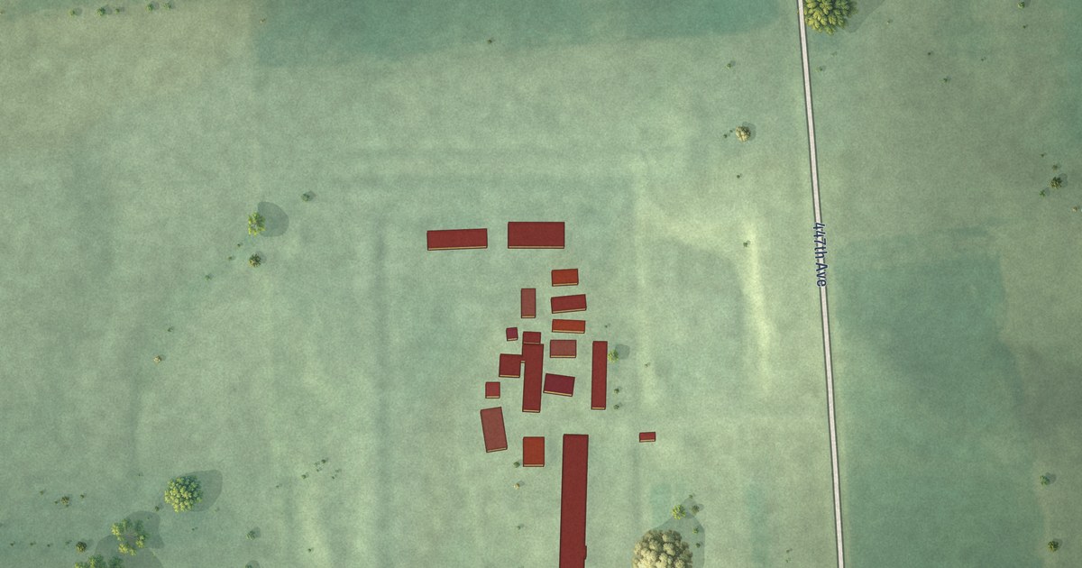
A detailed map of Cameron Colony, South Dakota, showing every building in its true location, the roads by name, and shaded topographical relief.
Read More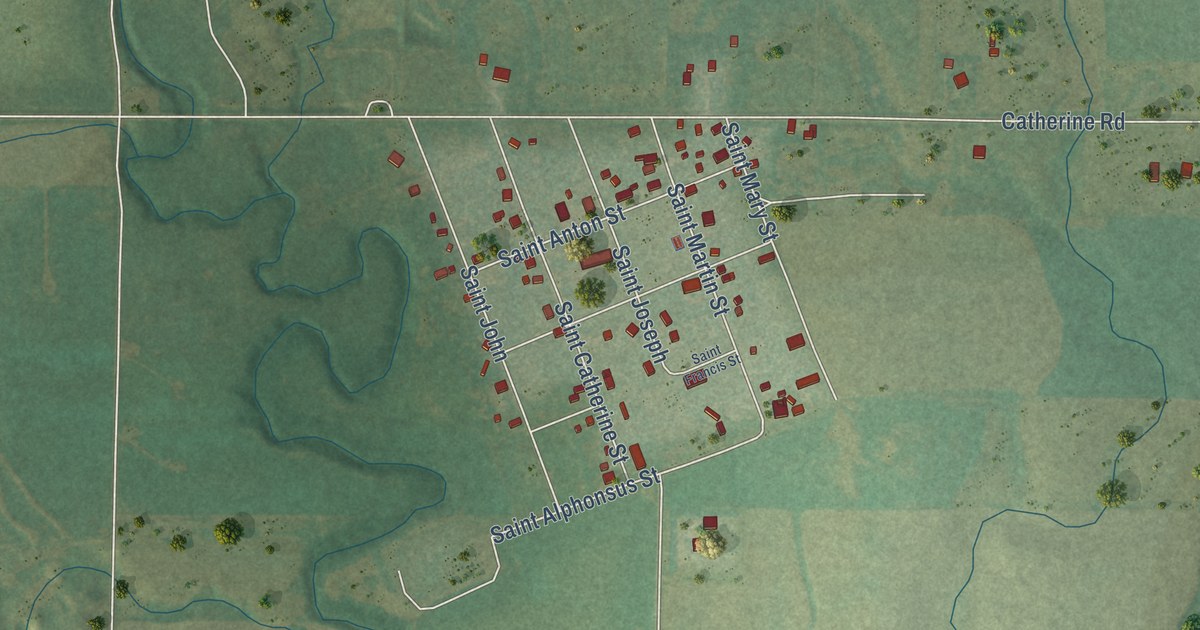
A detailed map of Catharine, Kansas, showing every building in its true location, the roads by name, and shaded topographical relief.
Read More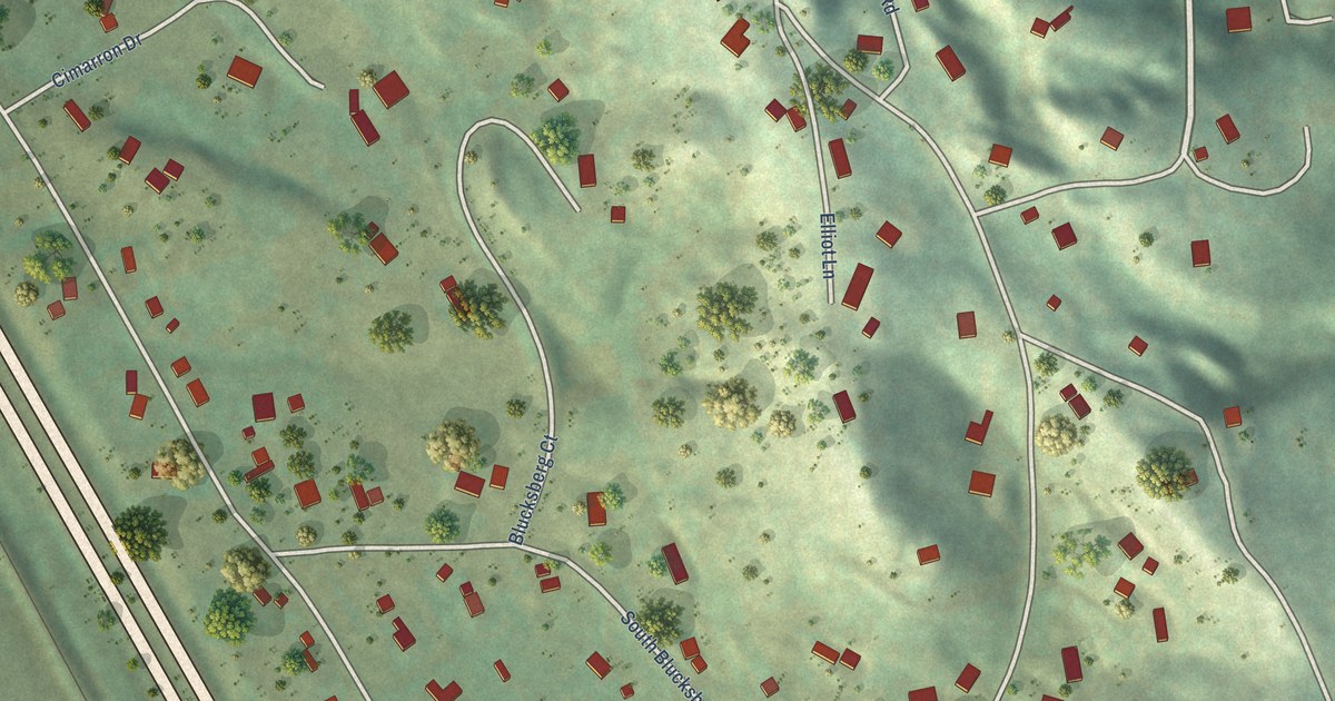
A detailed map of Blucksberg Mountain, South Dakota, showing every building in its true location, the roads by name, and shaded topographical relief.
Read More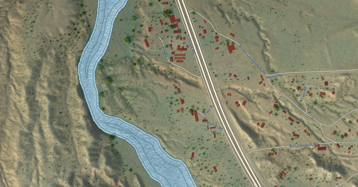
A detailed map of Cuyamungue Grant, New Mexico, showing every building in its true location, the roads by name, and shaded topographical relief.
Read More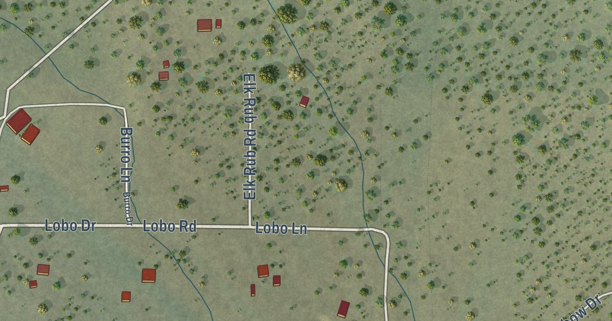
A detailed map of Cruzville, New Mexico, showing every building in its true location, the roads by name, and shaded topographical relief.
Read More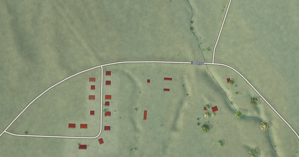
A detailed map of Bridger, South Dakota, showing every building in its true location, the roads by name, and shaded topographical relief.
Read More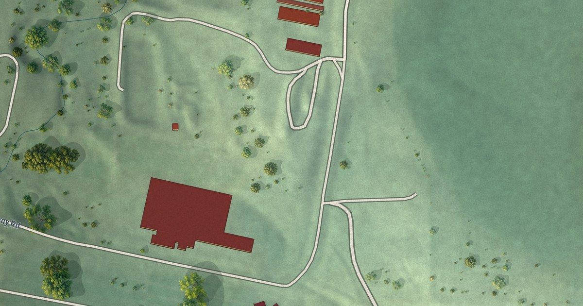
A detailed map of Bon Homme Colony, South Dakota, showing every building in its true location, the roads by name, and shaded topographical relief.
Read More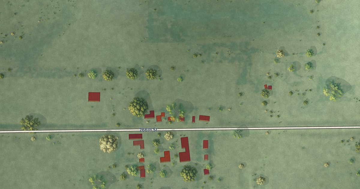
A detailed map of Aurora Center, South Dakota, showing every building in its true location, the roads by name, and shaded topographical relief.
Read More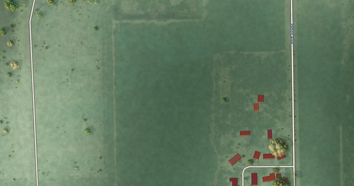
A detailed map of Bath Corner, South Dakota, showing every building in its true location, the roads by name, and shaded topographical relief.
Read More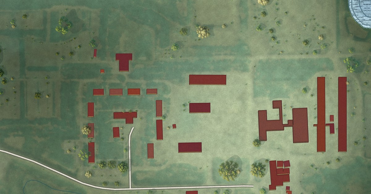
A detailed map of Brentwood Colony, South Dakota, showing every building in its true location, the roads by name, and shaded topographical relief.
Read More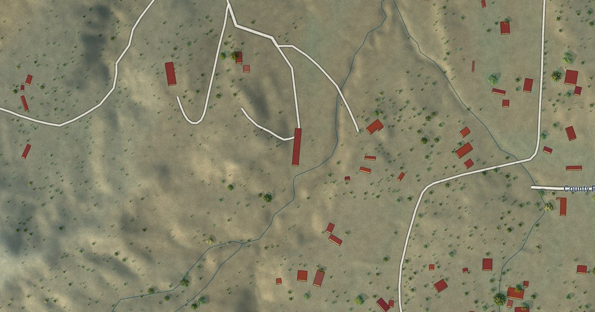
A detailed map of Crestview, New Mexico, showing every building in its true location, the roads by name, and shaded topographical relief.
Read More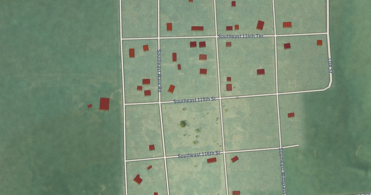
A detailed map of Beaumont, Kansas, showing every building in its true location, the roads by name, and shaded topographical relief.
Read More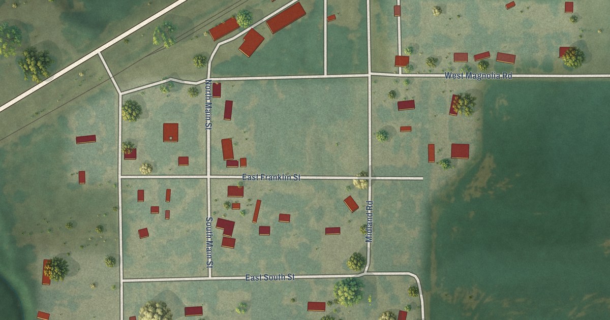
A detailed map of Bavaria, Kansas, showing every building in its true location, the roads by name, and shaded topographical relief.
Read More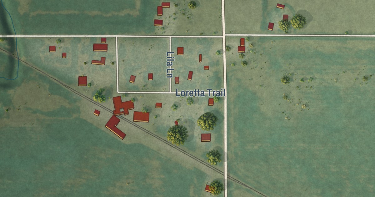
A detailed map of Asherville, Kansas, showing every building in its true location, the roads by name, and shaded topographical relief.
Read More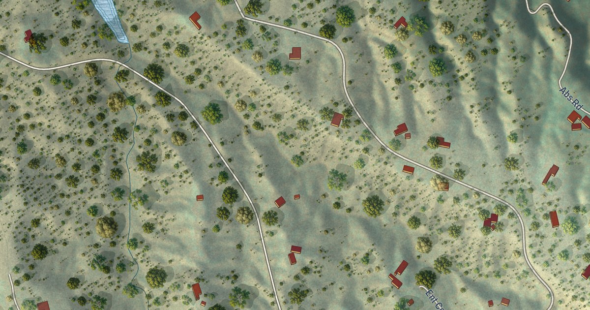
A detailed map of Chupadero, New Mexico, showing every building in its true location, the roads by name, and shaded topographical relief.
Read More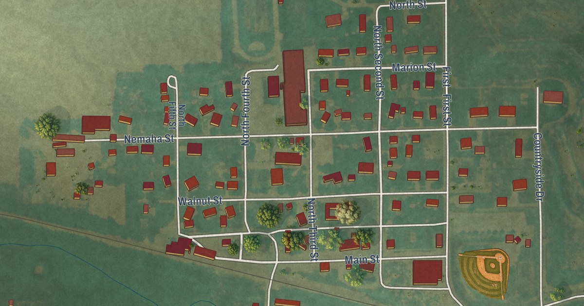
A detailed map of Baileyville, Kansas, showing every building in its true location, the roads by name, and shaded topographical relief.
Read More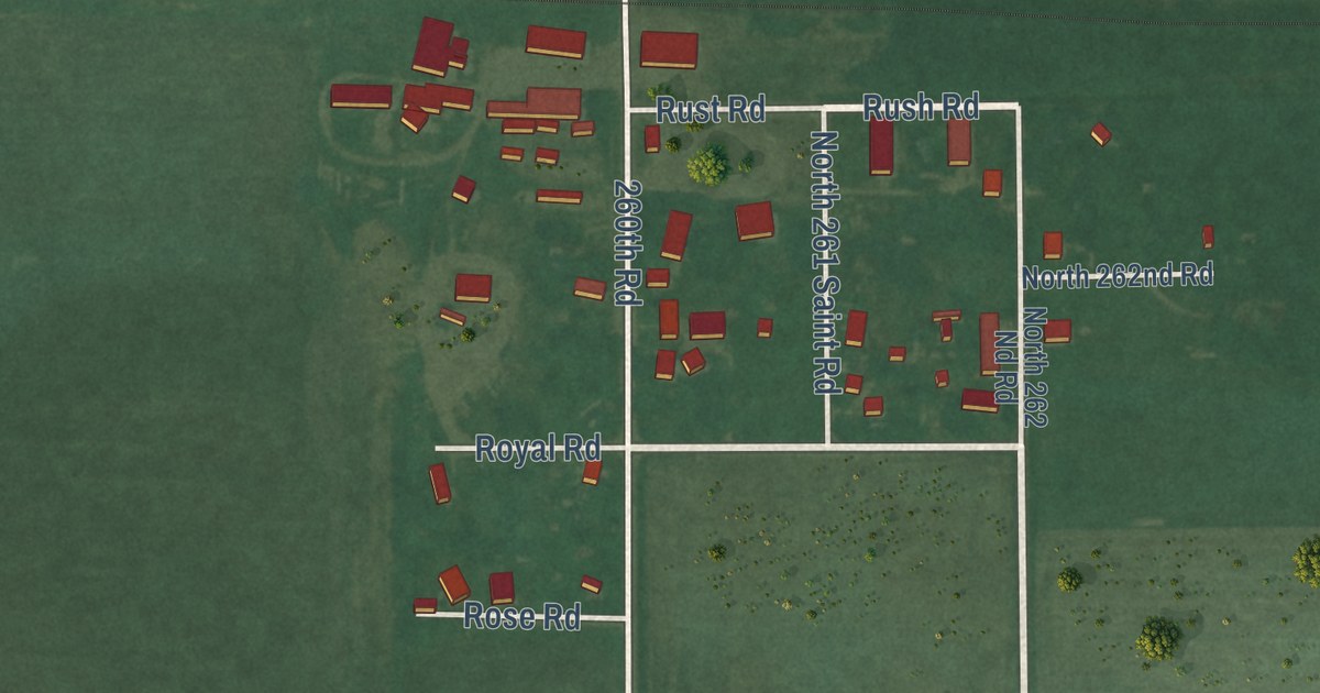
A detailed map of Ames, Kansas, showing every building in its true location, the roads by name, and shaded topographical relief.
Read More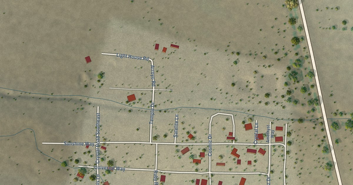
A detailed map of City of the Sun, New Mexico, showing every building in its true location, the roads by name, and shaded topographical relief.
Read More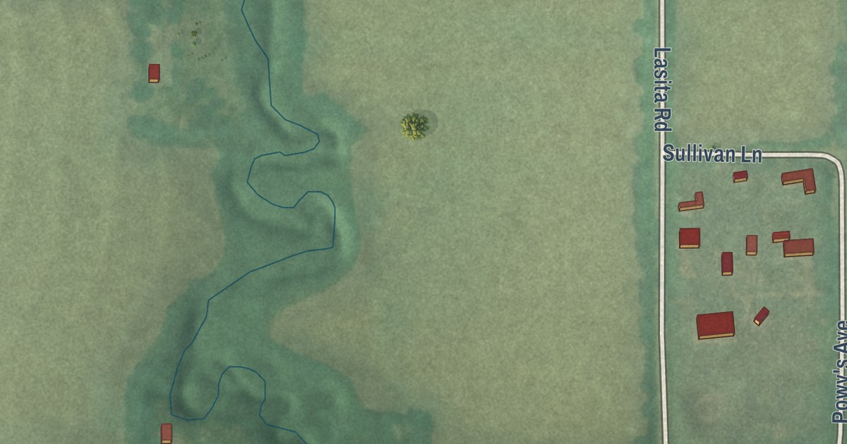
A detailed map of Bala, Kansas, showing every building in its true location, the roads by name, and shaded topographical relief.
Read More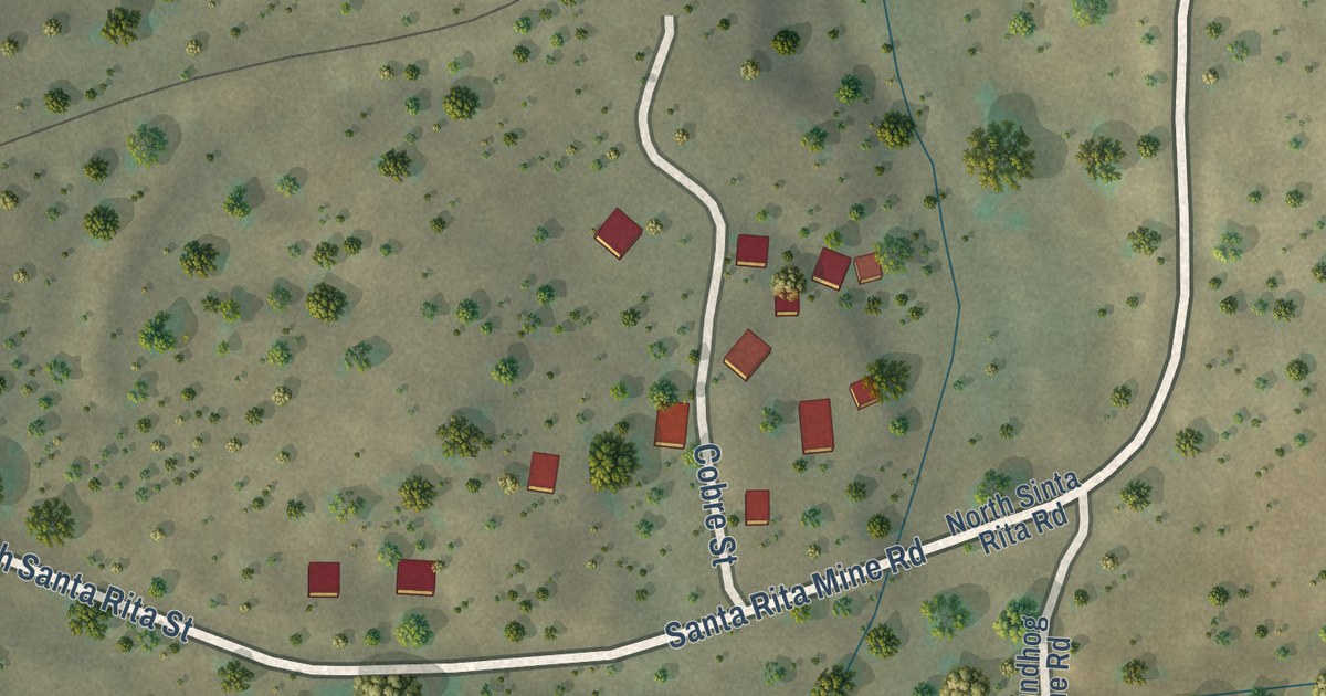
A detailed map of Cobre, New Mexico, showing every building in its true location, the roads by name, and shaded topographical relief.
Read More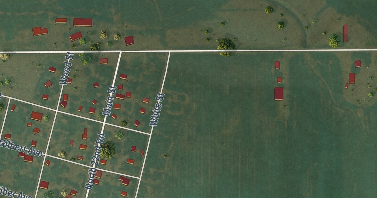
A detailed map of Ada, Kansas, showing every building in its true location, the roads by name, and shaded topographical relief.
Read More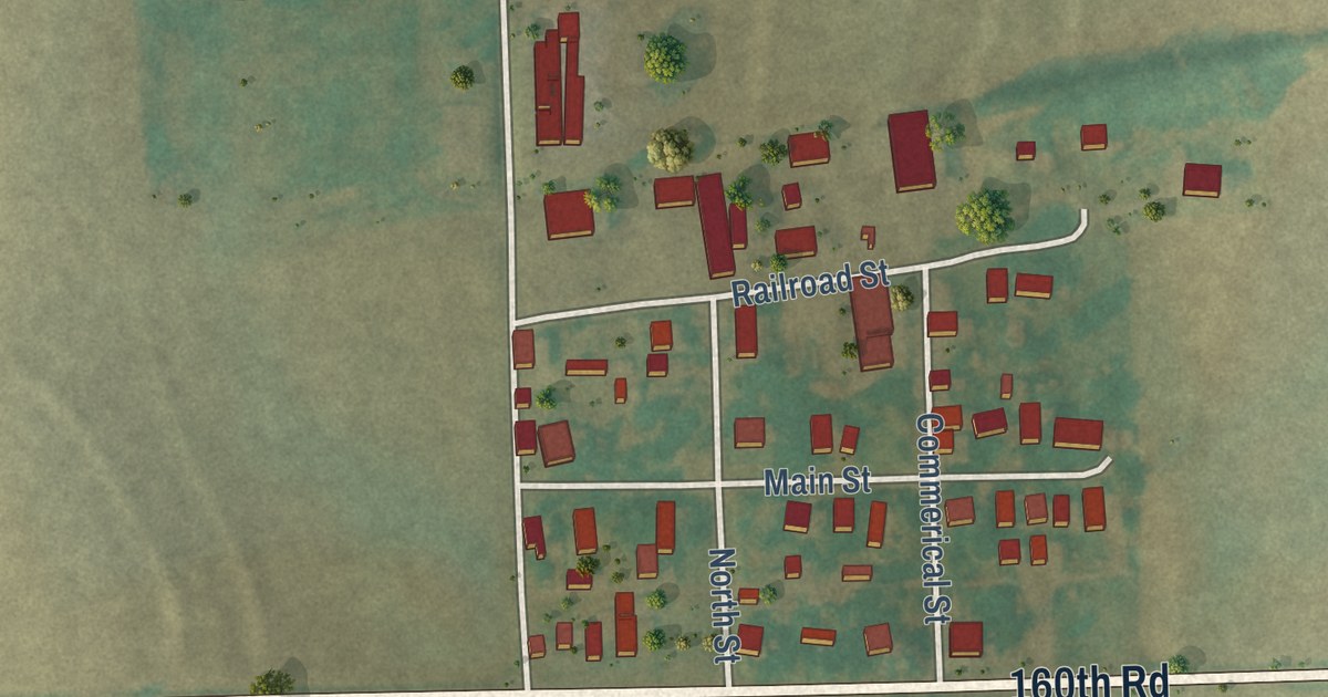
A detailed map of Bendena, Kansas, showing every building in its true location, the roads by name, and shaded topographical relief.
Read More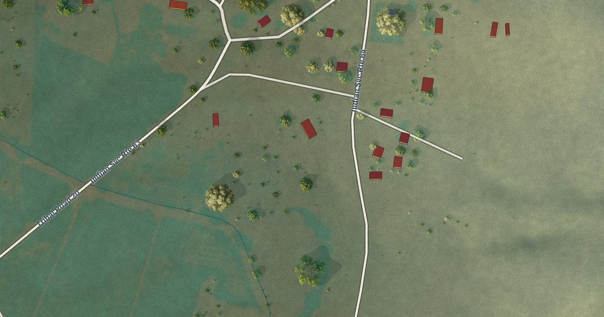
A detailed map of Chical, New Mexico, showing every building in its true location, the roads by name, and shaded topographical relief.
Read More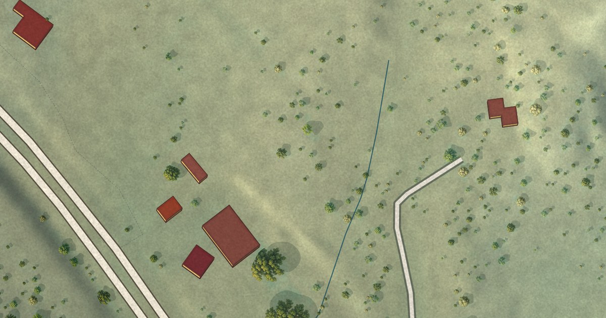
A detailed map of Black Hat, New Mexico, showing every building in its true location, the roads by name, and shaded topographical relief.
Read More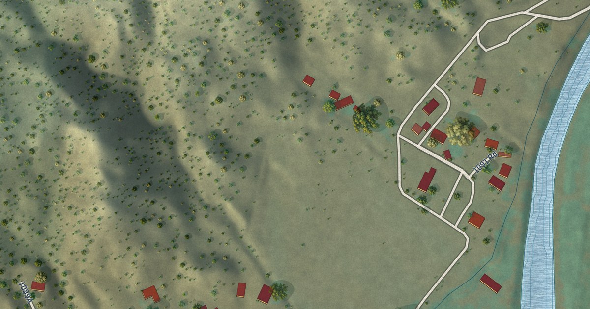
A detailed map of Canova, New Mexico, showing every building in its true location, the roads by name, and shaded topographical relief.
Read More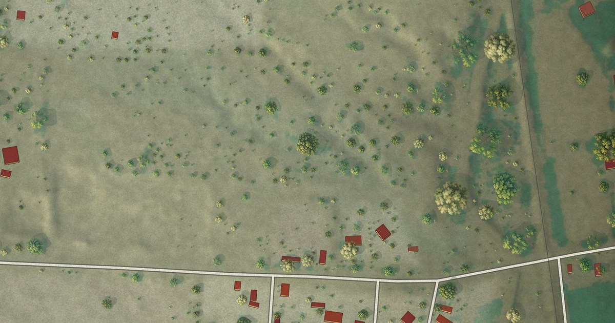
A detailed map of Chamizal, New Mexico, showing every building in its true location, the roads by name, and shaded topographical relief.
Read More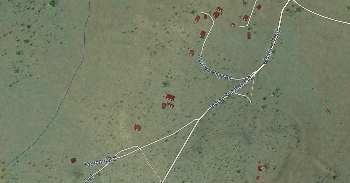
A detailed map of Anzac Village, New Mexico, showing every building in its true location, the roads by name, and shaded topographical relief.
Read More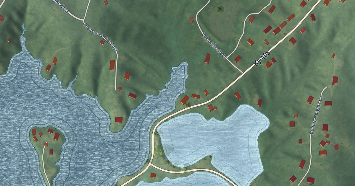
A detailed map of Yelvington, Kentucky, showing every building in its true location, the roads by name, and shaded topographical relief.
Read More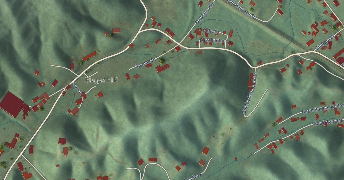
A detailed map of West Van Lear, Kentucky, showing every building in its true location, the roads by name, and shaded topographical relief.
Read More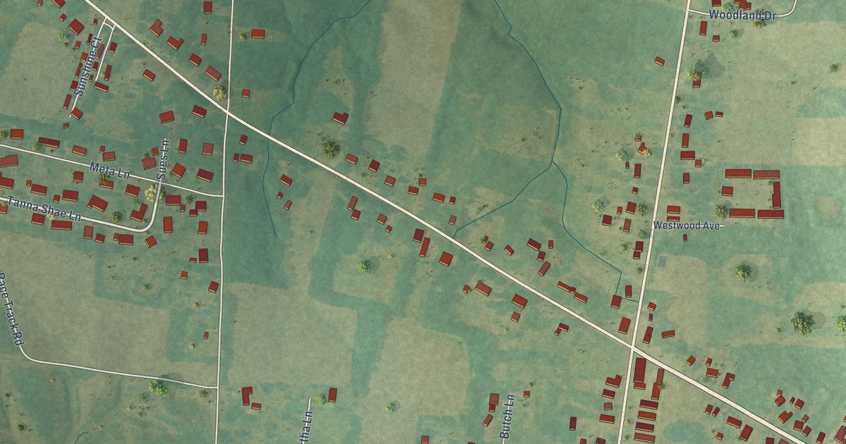
A detailed map of Symsonia, Kentucky, showing every building in its true location, the roads by name, and shaded topographical relief.
Read More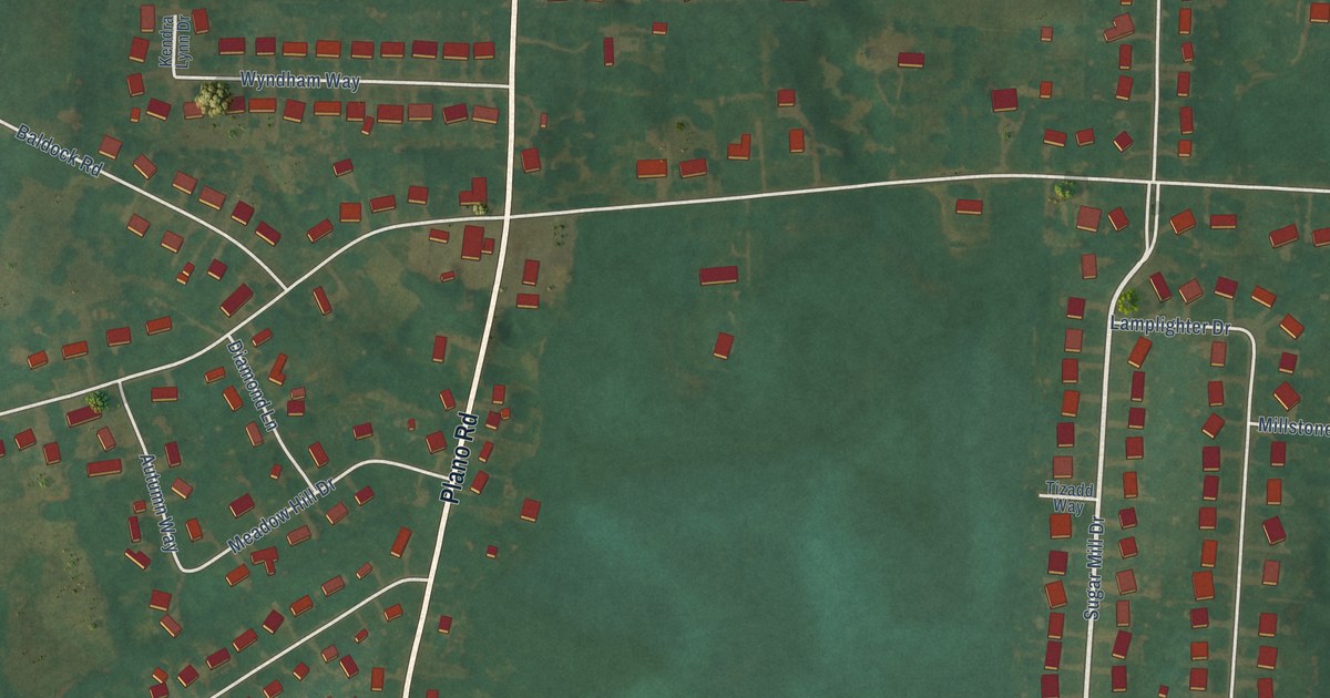
A detailed map of Plano, Kentucky, showing every building in its true location, the roads by name, and shaded topographical relief.
Read More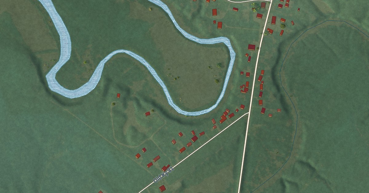
A detailed map of Moseleyville, Kentucky, showing every building in its true location, the roads by name, and shaded topographical relief.
Read More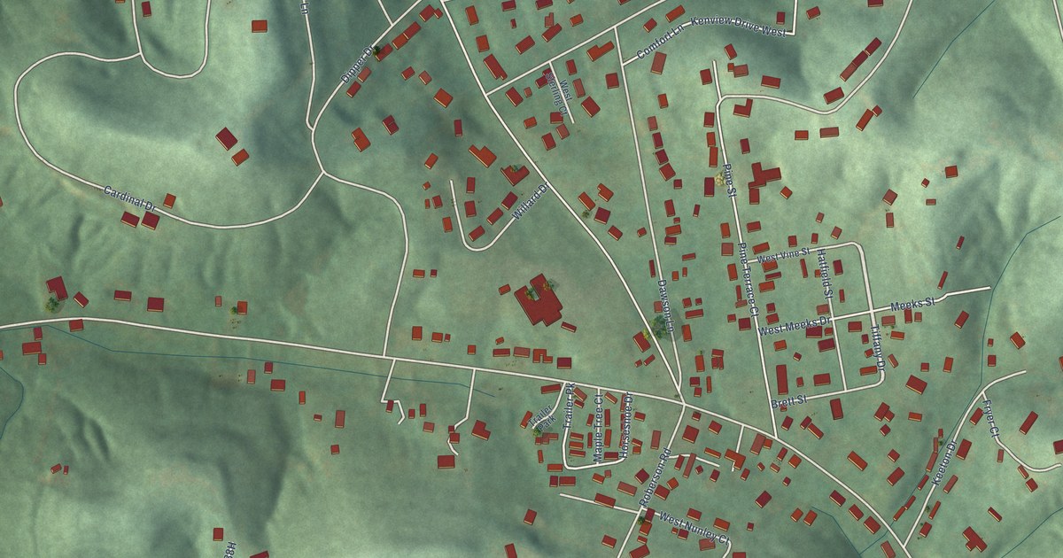
A detailed map of Ironville, Kentucky, showing every building in its true location, the roads by name, and shaded topographical relief.
Read More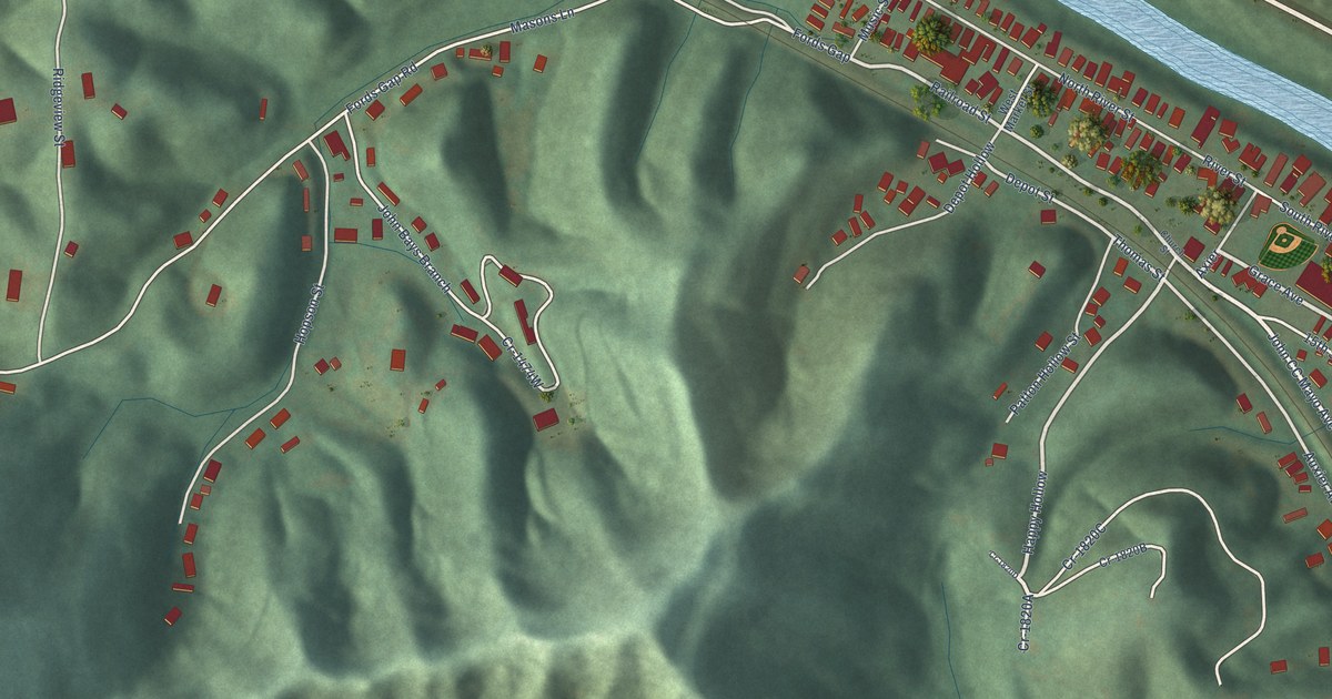
A detailed map of Auxier, Kentucky, showing every building in its true location, the roads by name, and shaded topographical relief.
Read More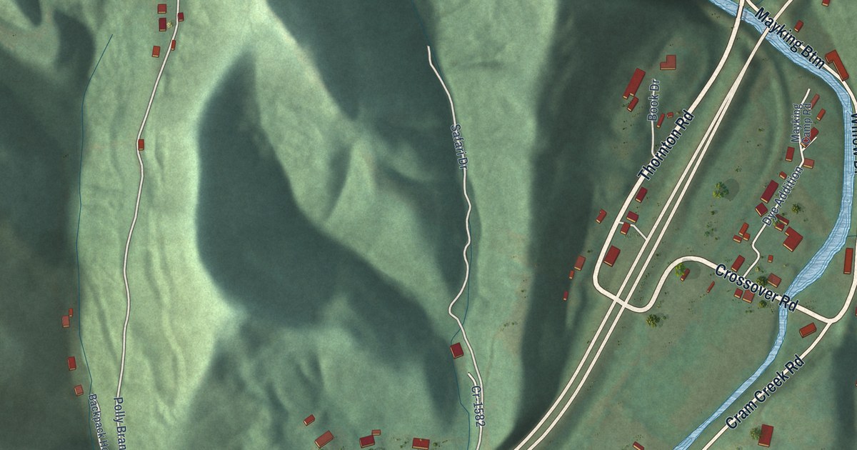
A detailed map of Mayking, Kentucky, showing every building in its true location, the roads by name, and shaded topographical relief.
Read More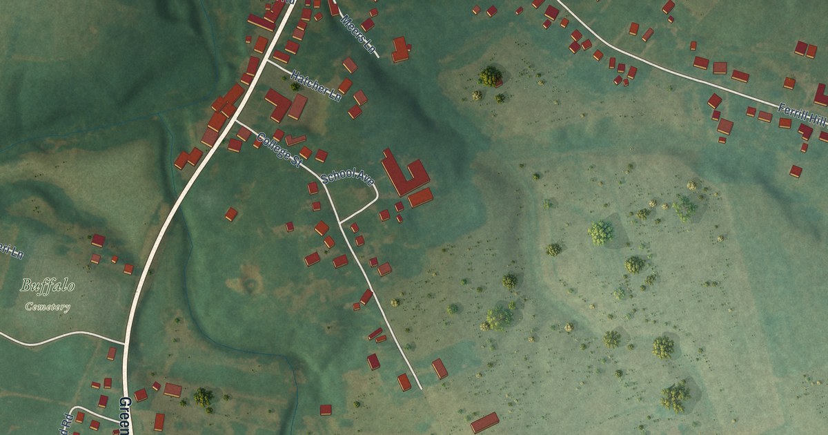
A detailed map of Buffalo, Kentucky, showing every building in its true location, the roads by name, and shaded topographical relief.
Read More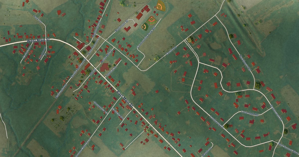
A detailed map of Cecilia, Kentucky, showing every building in its true location, the roads by name, and shaded topographical relief.
Read More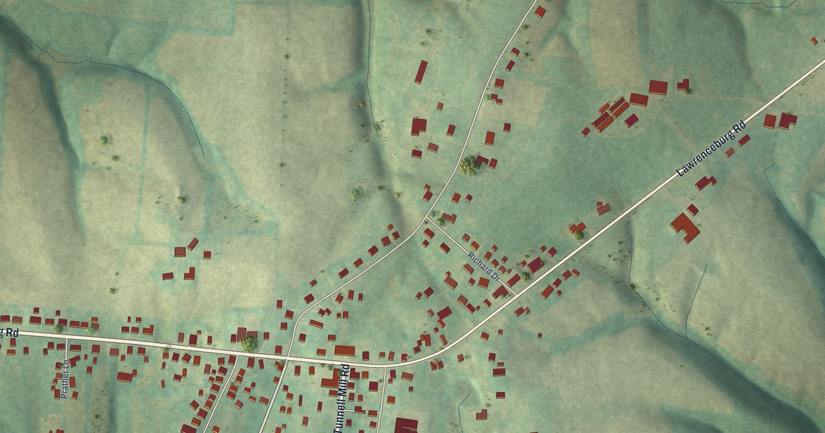
A detailed map of Chaplin, Kentucky, showing every building in its true location, the roads by name, and shaded topographical relief.
Read More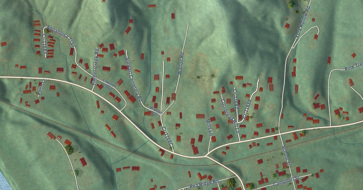
A detailed map of Artemus, Kentucky, showing every building in its true location, the roads by name, and shaded topographical relief.
Read More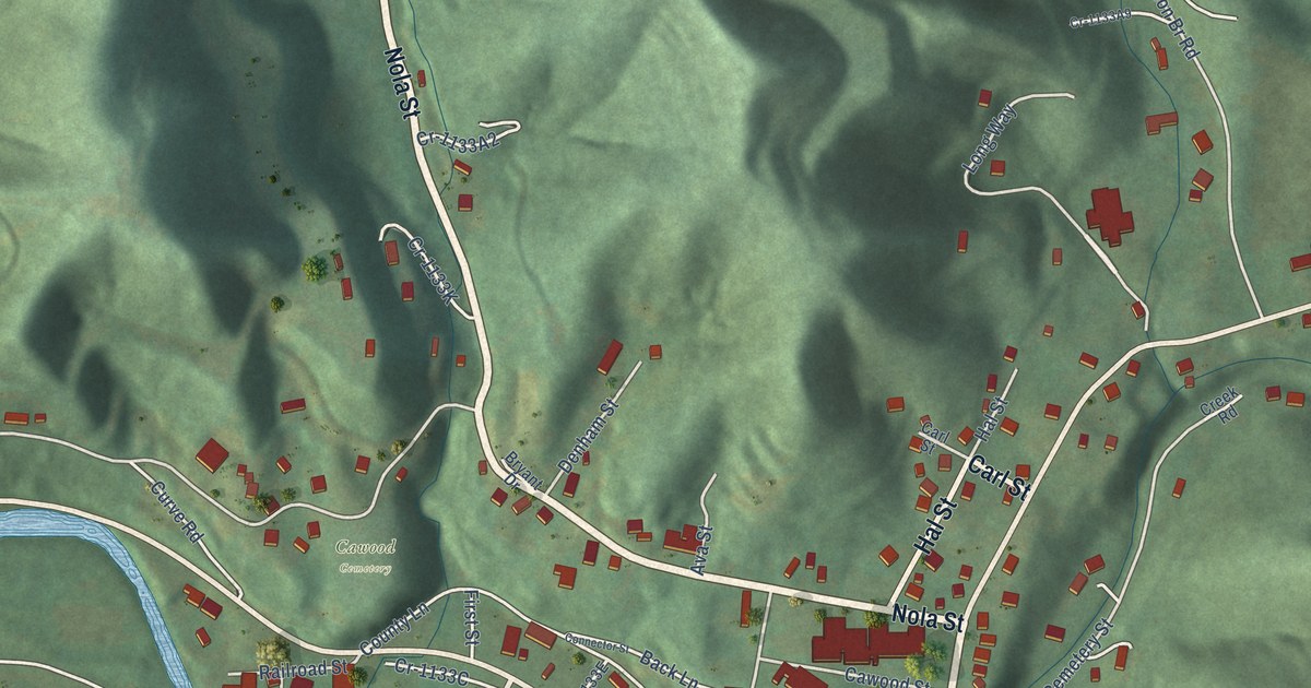
A detailed map of Cawood, Kentucky, showing every building in its true location, the roads by name, and shaded topographical relief.
Read More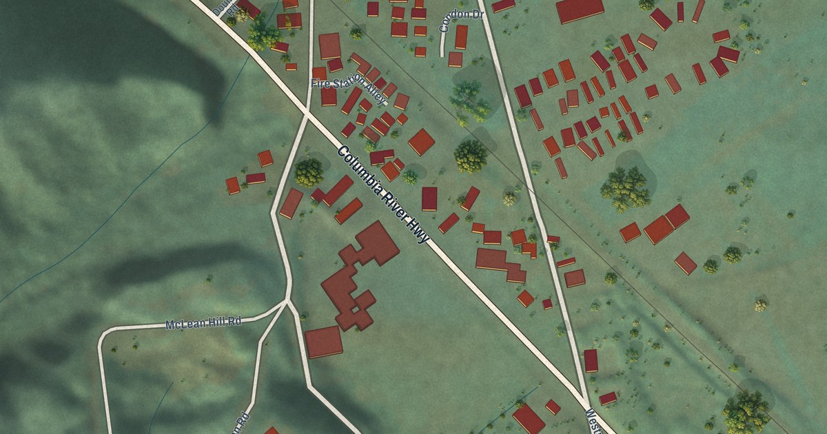
A detailed map of Westport, Oregon, showing every building in its true location, the roads by name, and shaded topographical relief.
Read More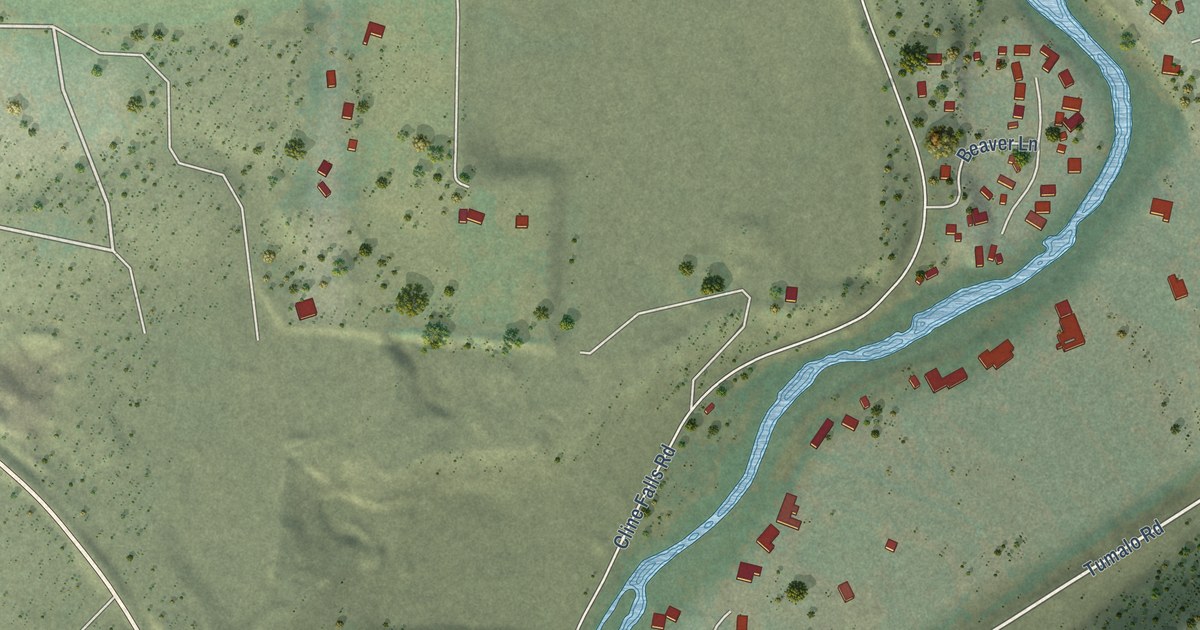
A detailed map of Tumalo, Oregon, showing every building in its true location, the roads by name, and shaded topographical relief.
Read More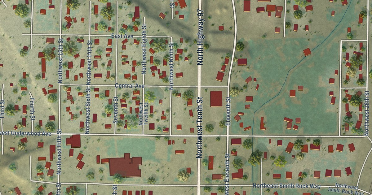
A detailed map of Terrebonne, Oregon, showing every building in its true location, the roads by name, and shaded topographical relief.
Read More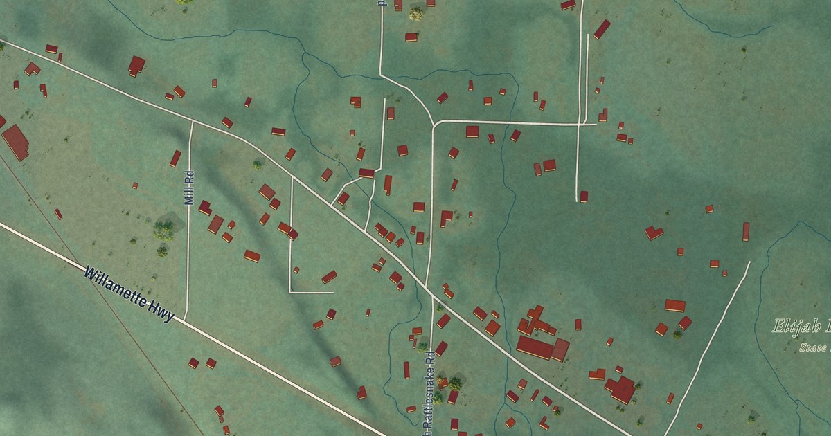
A detailed map of Trent, Oregon, showing every building in its true location, the roads by name, and shaded topographical relief.
Read More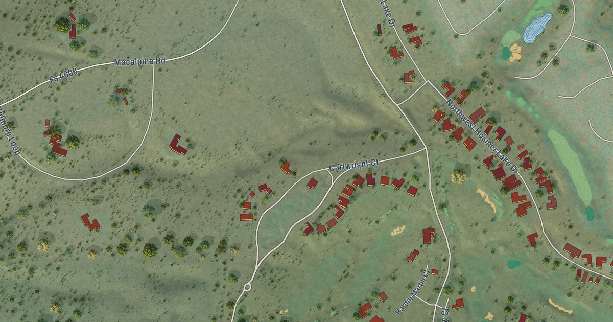
A detailed map of Tetherow, Oregon, showing every building in its true location, the roads by name, and shaded topographical relief.
Read More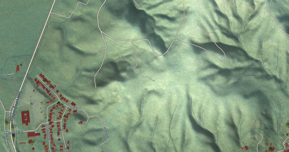
A detailed map of Wedderburn, Oregon, showing every building in its true location, the roads by name, and shaded topographical relief.
Read More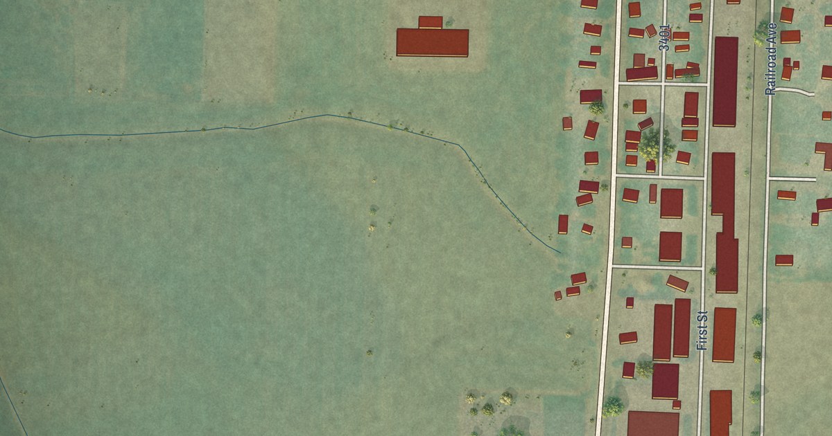
A detailed map of Shedd, Oregon, showing every building in its true location, the roads by name, and shaded topographical relief.
Read More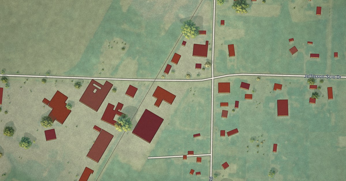
A detailed map of West Scio, Oregon, showing every building in its true location, the roads by name, and shaded topographical relief.
Read More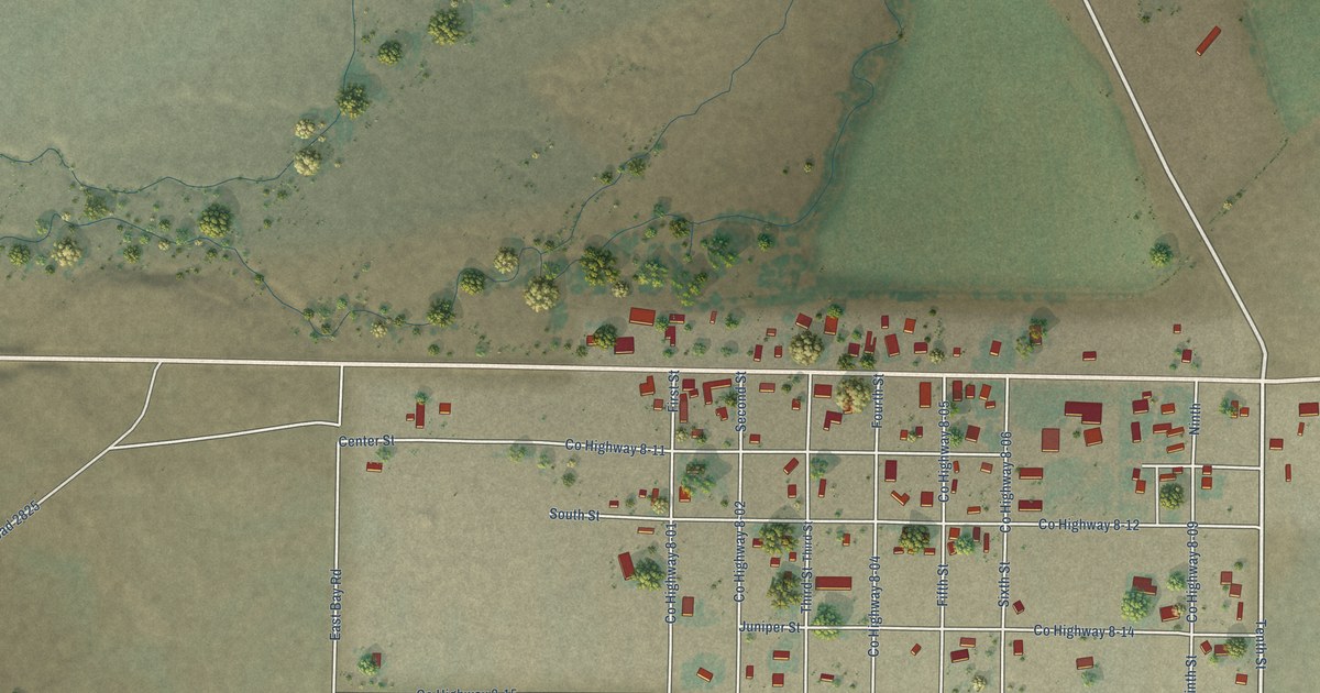
A detailed map of Silver Lake, Oregon, showing every building in its true location, the roads by name, and shaded topographical relief.
Read More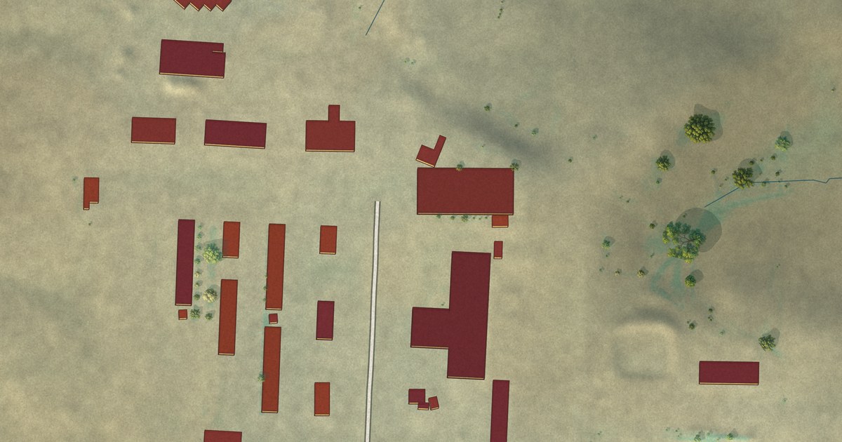
A detailed map of Zenith Colony, Montana, showing every building in its true location, the roads by name, and shaded topographical relief.
Read More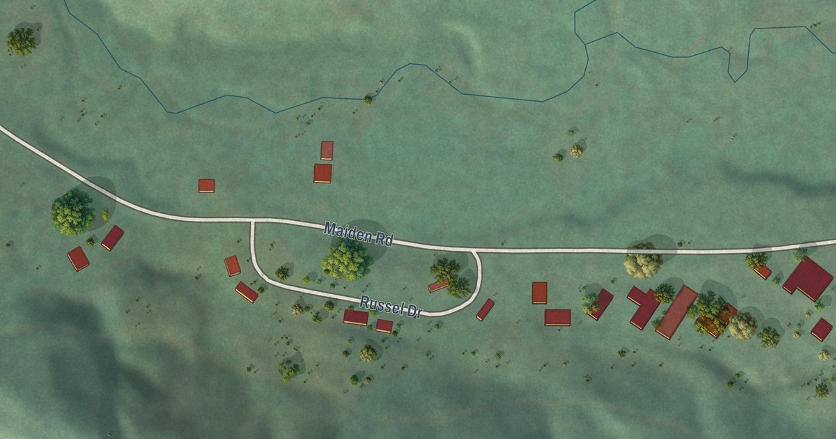
A detailed map of Warm Spring Creek, Montana, showing every building in its true location, the roads by name, and shaded topographical relief.
Read More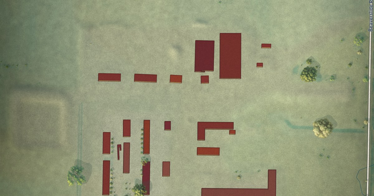
A detailed map of Twin Hills Colony, Montana, showing every building in its true location, the roads by name, and shaded topographical relief.
Read More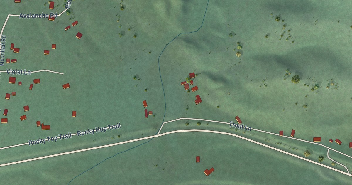
A detailed map of Twin Creeks, Montana, showing every building in its true location, the roads by name, and shaded topographical relief.
Read More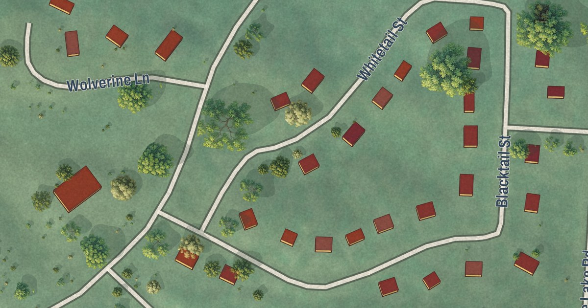
A detailed map of Turtle Lake, Montana, showing every building in its true location, the roads by name, and shaded topographical relief.
Read More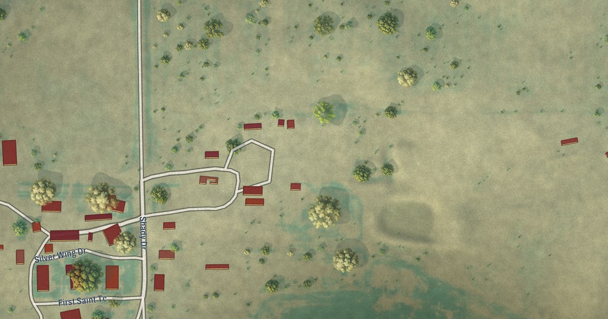
A detailed map of Turner Colony, Montana, showing every building in its true location, the roads by name, and shaded topographical relief.
Read More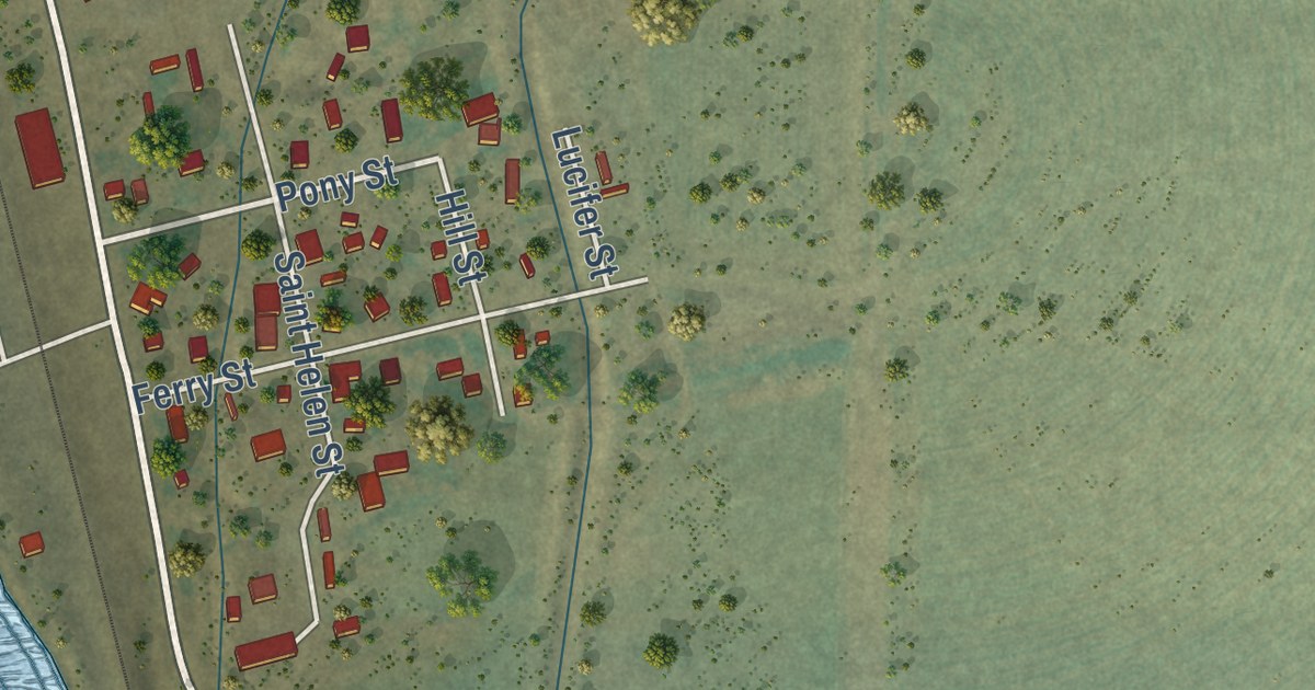
A detailed map of Toston, Montana, showing every building in its true location, the roads by name, and shaded topographical relief.
Read More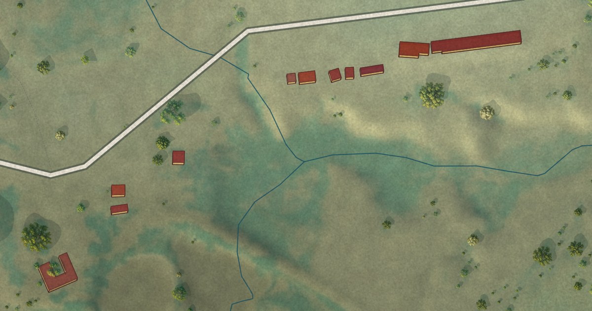
A detailed map of Sunnybrook Colony, Montana, showing every building in its true location, the roads by name, and shaded topographical relief.
Read More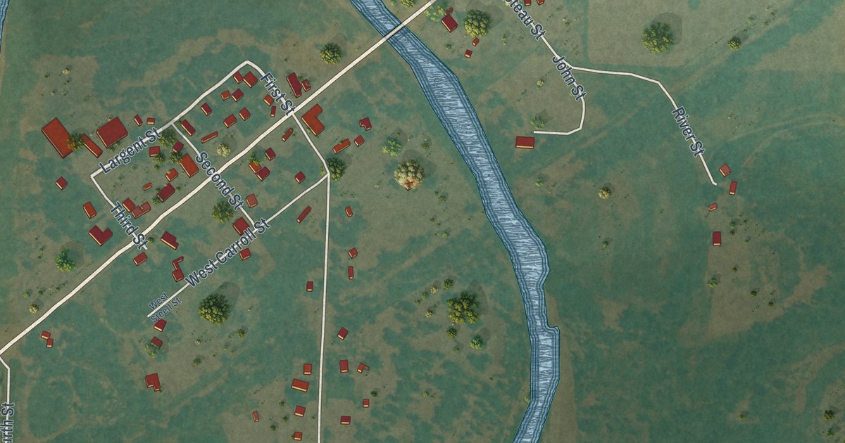
A detailed map of Sun River, Montana, showing every building in its true location, the roads by name, and shaded topographical relief.
Read More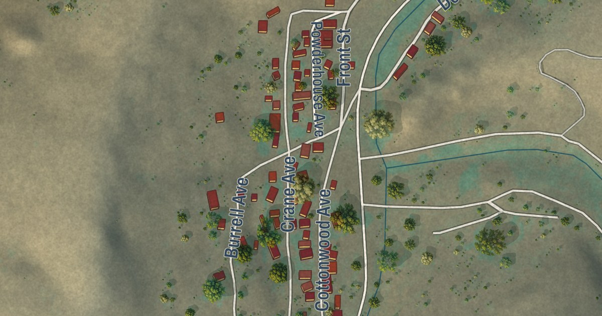
A detailed map of Stockett, Montana, showing every building in its true location, the roads by name, and shaded topographical relief.
Read More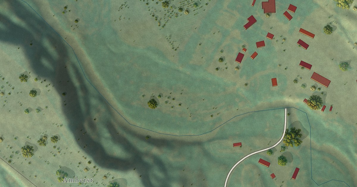
A detailed map of Spring Creek Colony, Montana, showing every building in its true location, the roads by name, and shaded topographical relief.
Read More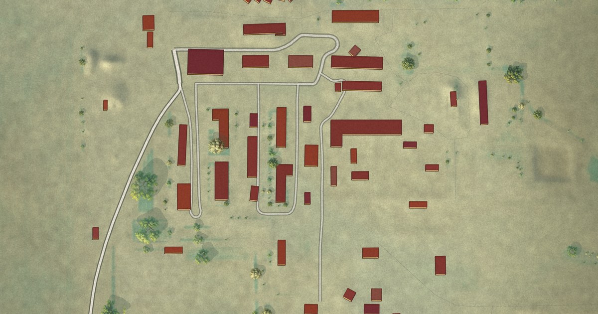
A detailed map of Springwater Colony, Montana, showing every building in its true location, the roads by name, and shaded topographical relief.
Read More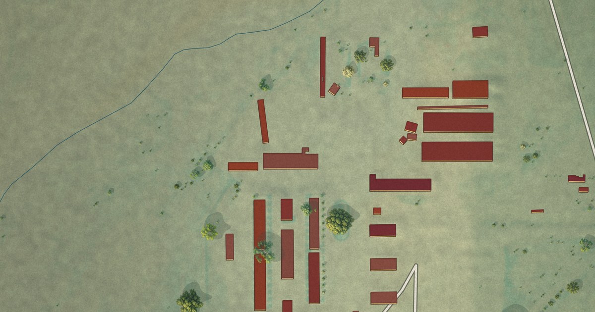
A detailed map of Springdale Colony, Montana, showing every building in its true location, the roads by name, and shaded topographical relief.
Read More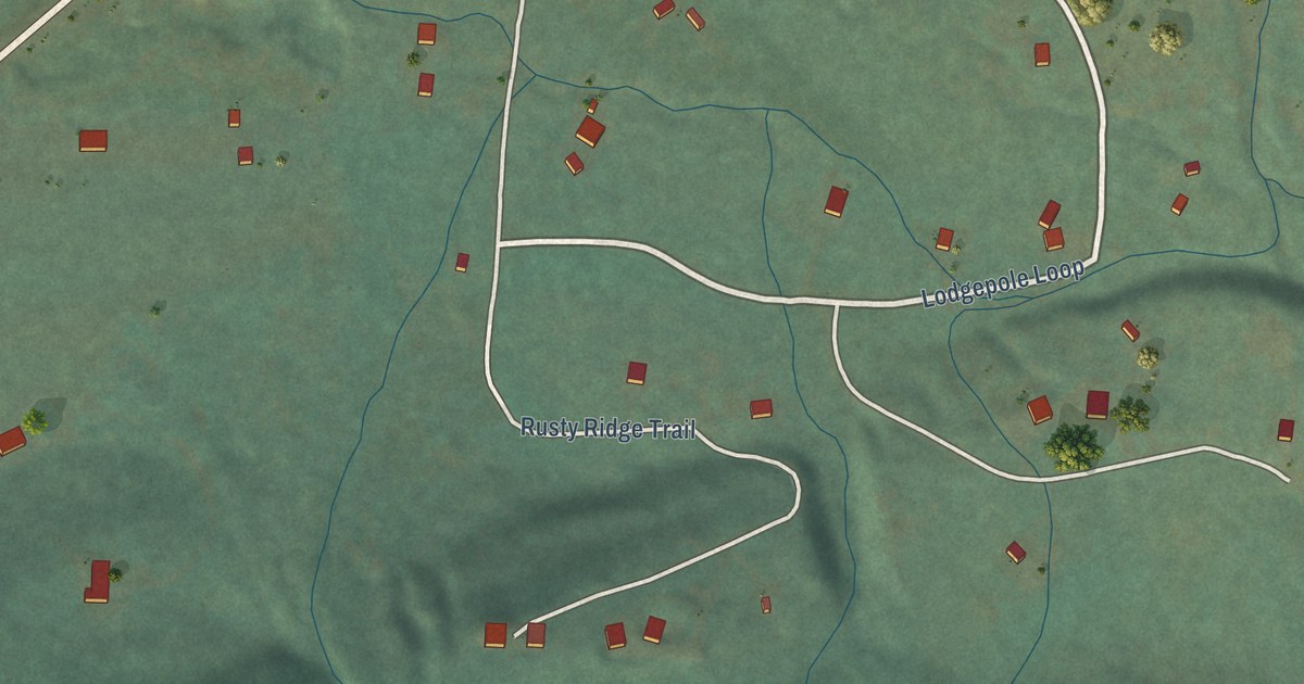
A detailed map of Snowslip, Montana, showing every building in its true location, the roads by name, and shaded topographical relief.
Read More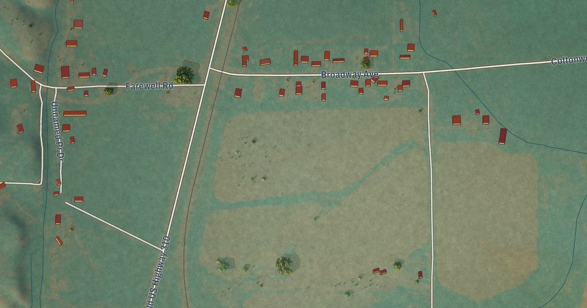
A detailed map of Silesia, Montana, showing every building in its true location, the roads by name, and shaded topographical relief.
Read More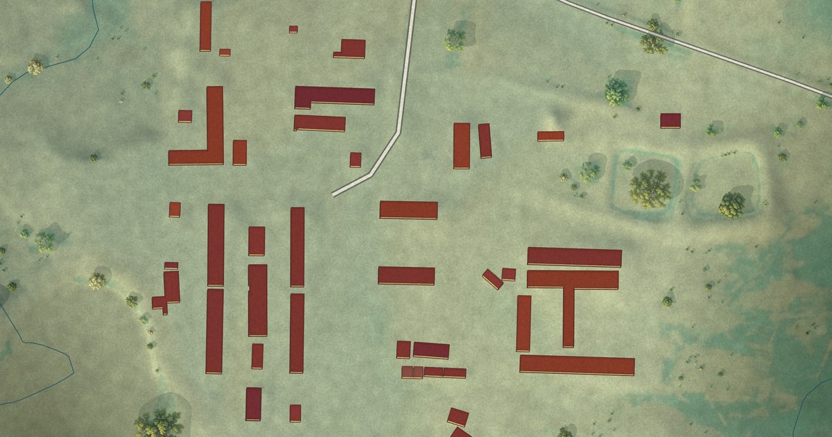
A detailed map of Sage Creek Colony, Montana, showing every building in its true location, the roads by name, and shaded topographical relief.
Read More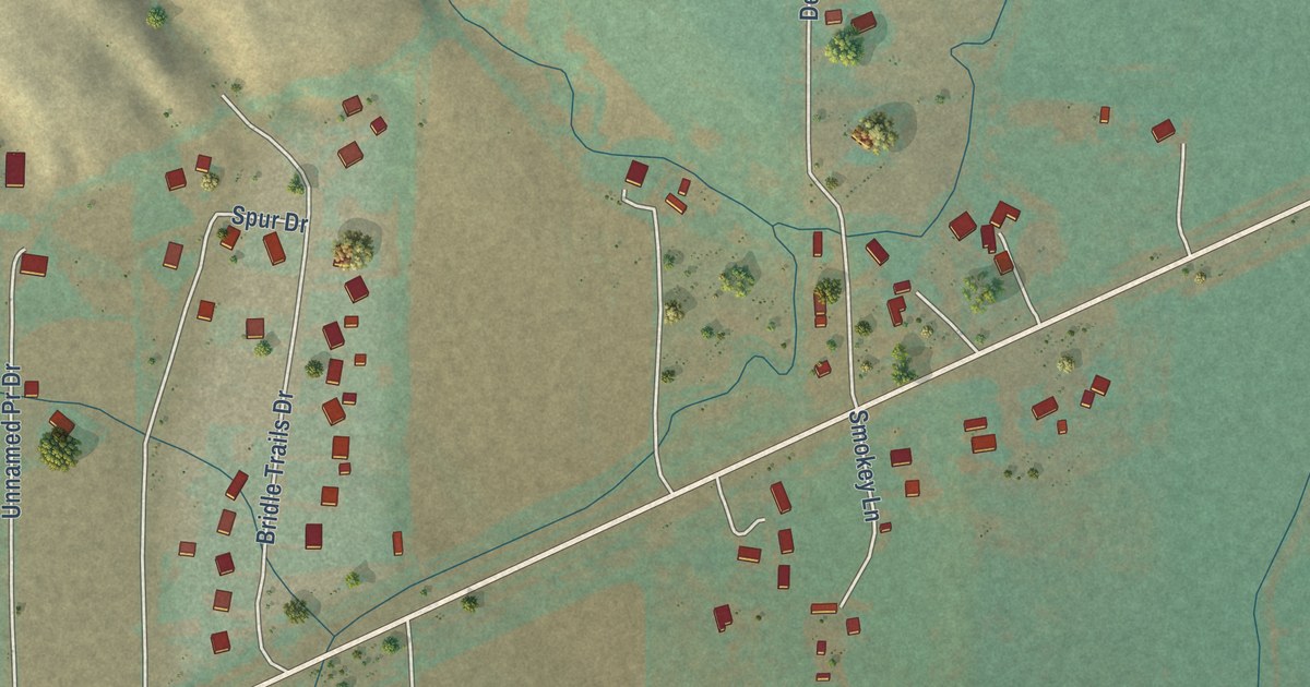
A detailed map of Rockvale, Montana, showing every building in its true location, the roads by name, and shaded topographical relief.
Read More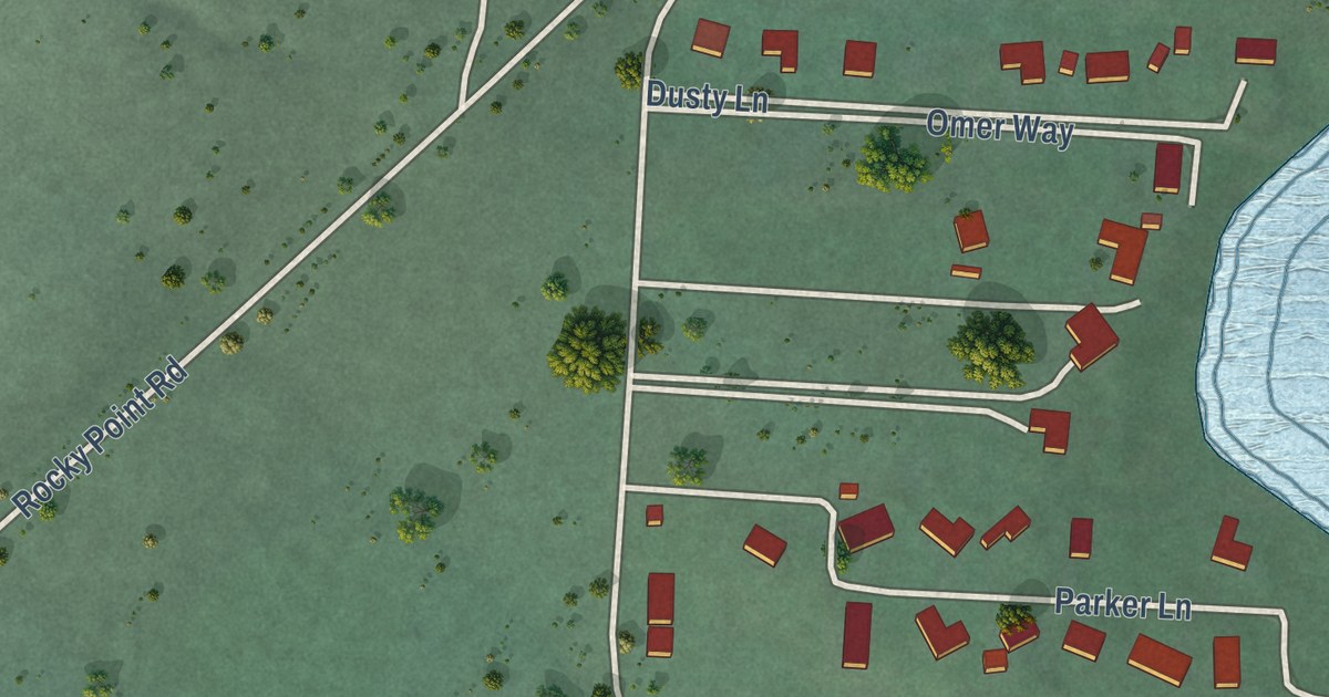
A detailed map of Rocky Point, Montana, showing every building in its true location, the roads by name, and shaded topographical relief.
Read More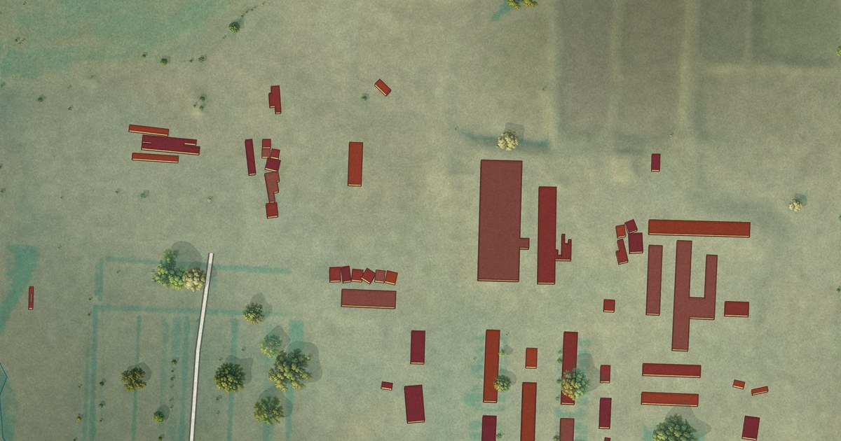
A detailed map of Seville Colony, Montana, showing every building in its true location, the roads by name, and shaded topographical relief.
Read More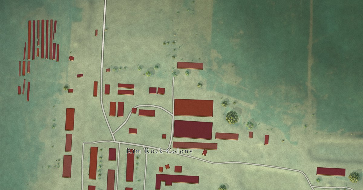
A detailed map of Rimrock Colony, Montana, showing every building in its true location, the roads by name, and shaded topographical relief.
Read More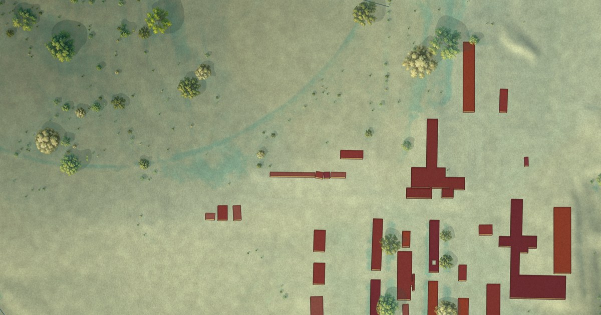
A detailed map of Riverview Colony, Montana, showing every building in its true location, the roads by name, and shaded topographical relief.
Read More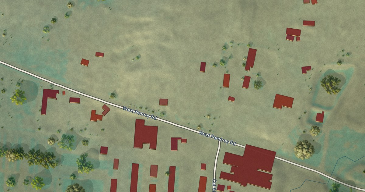
A detailed map of Rockport Colony, Montana, showing every building in its true location, the roads by name, and shaded topographical relief.
Read More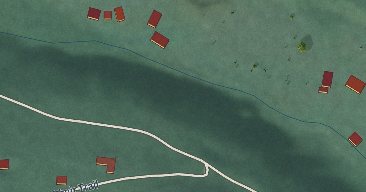
A detailed map of Rhodes, Montana, showing every building in its true location, the roads by name, and shaded topographical relief.
Read More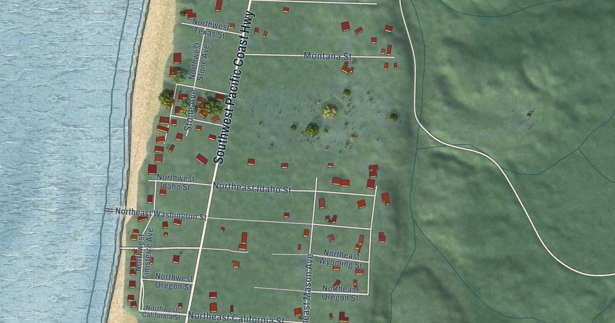
A detailed map of San Marine, Oregon, showing every building in its true location, the roads by name, and shaded topographical relief.
Read More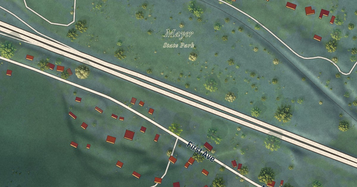
A detailed map of Rowena, Oregon, showing every building in its true location, the roads by name, and shaded topographical relief.
Read More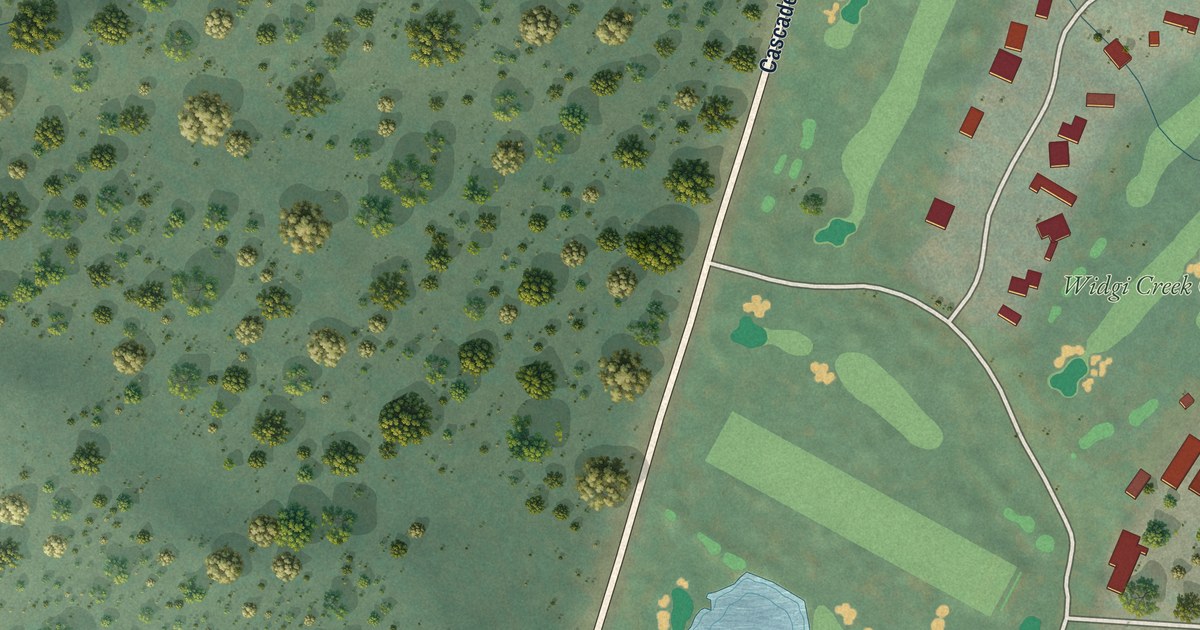
A detailed map of Seventh Mountain, Oregon, showing every building in its true location, the roads by name, and shaded topographical relief.
Read More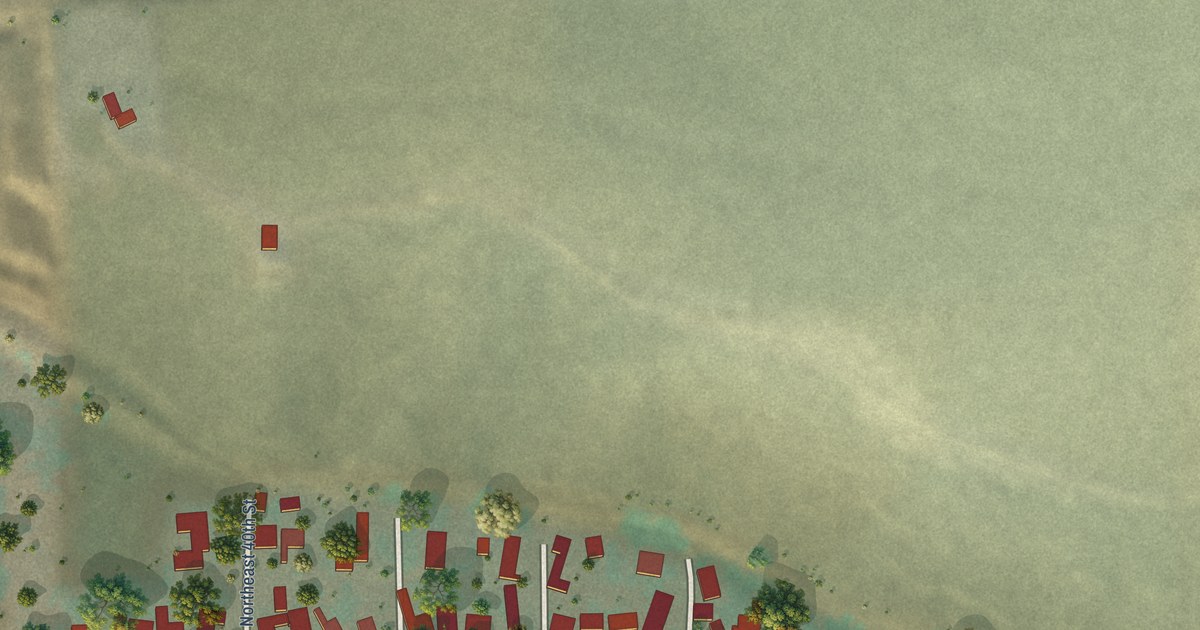
A detailed map of Riverside, Oregon, showing every building in its true location, the roads by name, and shaded topographical relief.
Read More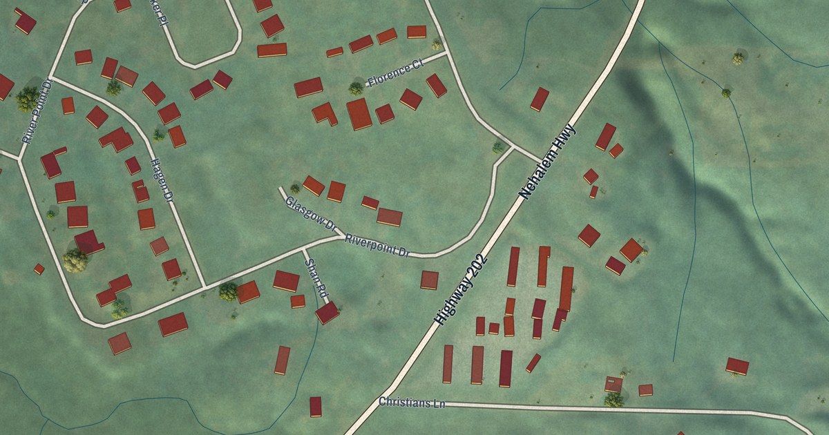
A detailed map of River Point, Oregon, showing every building in its true location, the roads by name, and shaded topographical relief.
Read More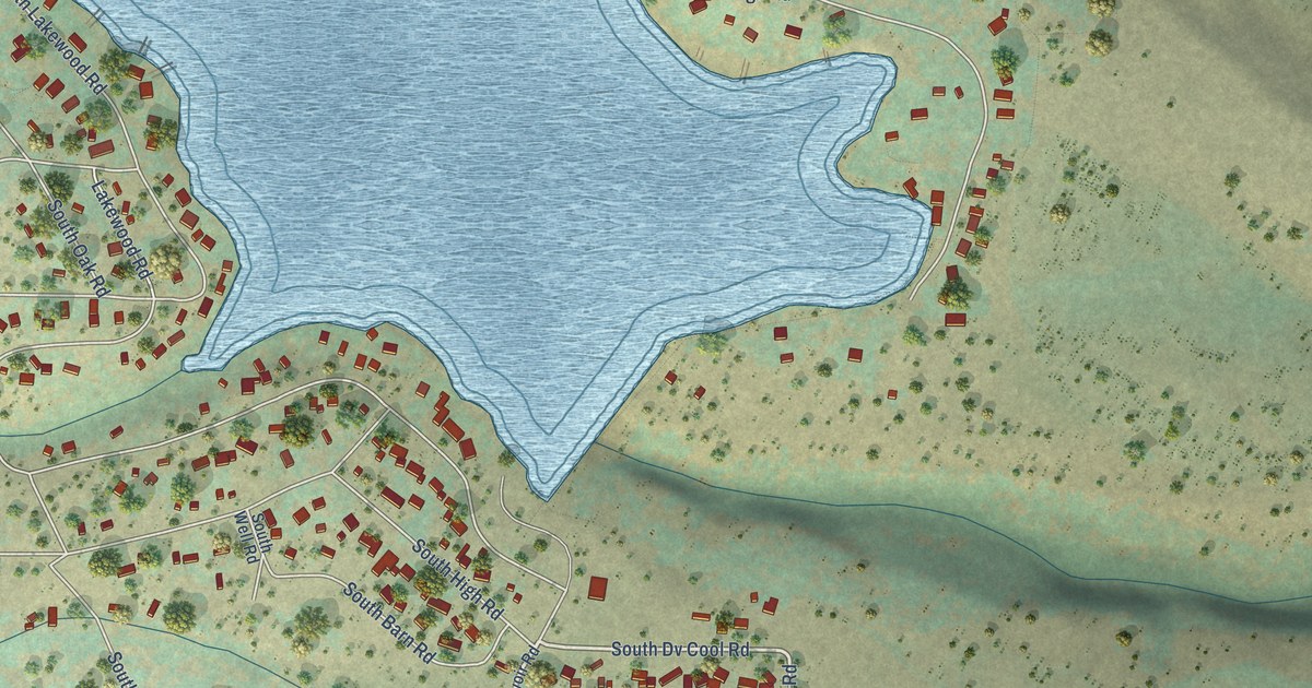
A detailed map of Pine Hollow, Oregon, showing every building in its true location, the roads by name, and shaded topographical relief.
Read More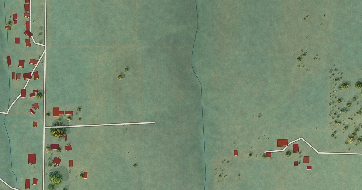
A detailed map of Parkdale, Oregon, showing every building in its true location, the roads by name, and shaded topographical relief.
Read More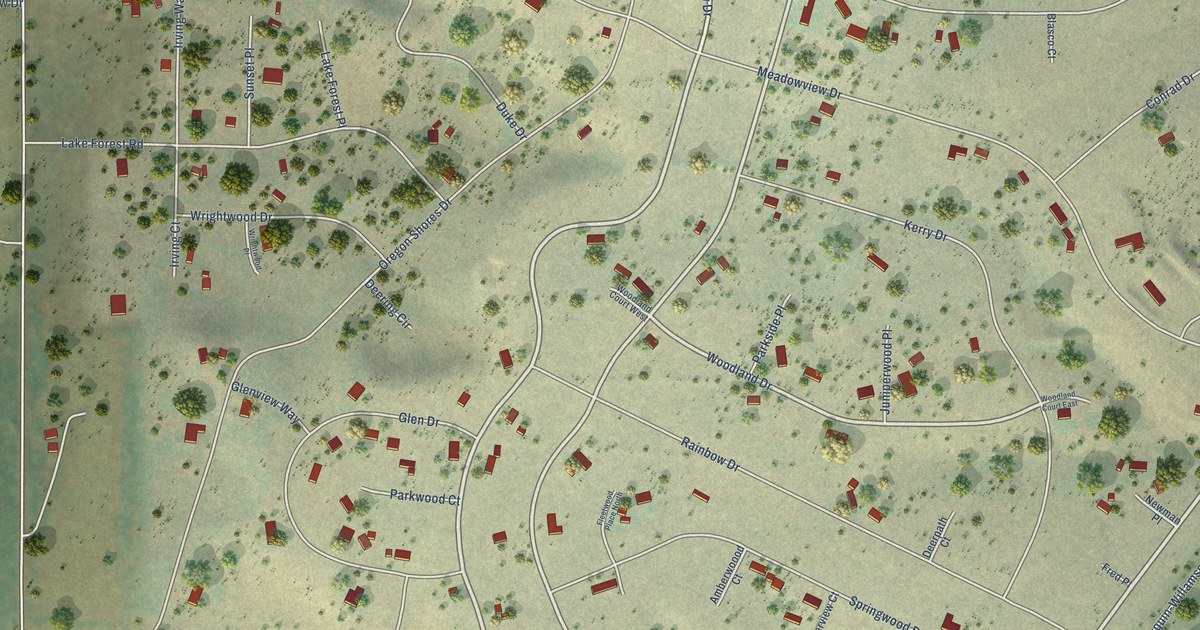
A detailed map of Oregon Shores, Oregon, showing every building in its true location, the roads by name, and shaded topographical relief.
Read More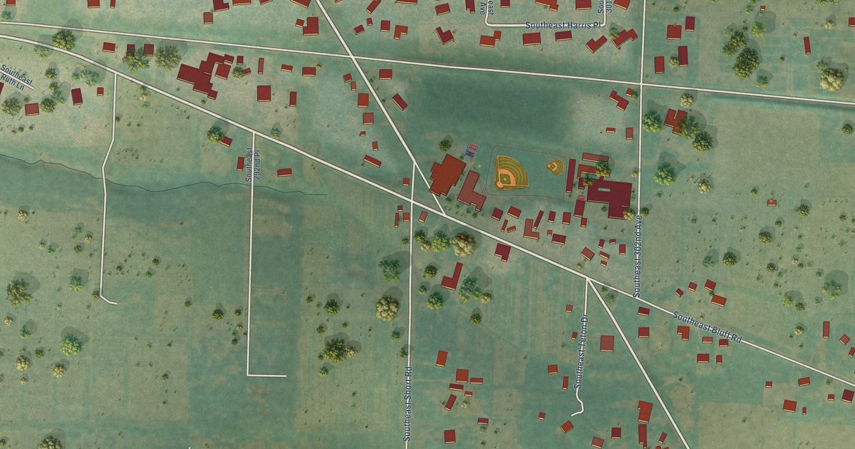
A detailed map of Orient, Oregon, showing every building in its true location, the roads by name, and shaded topographical relief.
Read More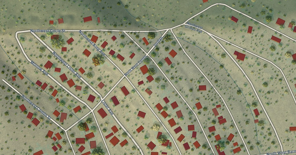
A detailed map of Ochoco West, Oregon, showing every building in its true location, the roads by name, and shaded topographical relief.
Read More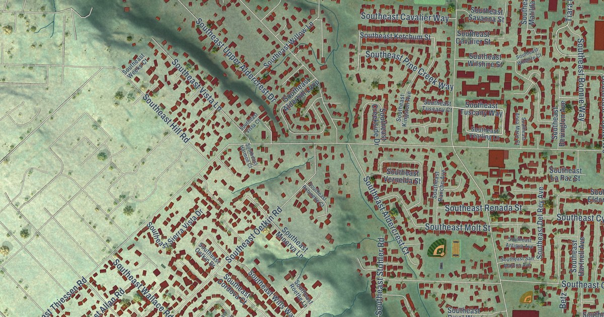
A detailed map of Oatfield, Oregon, showing every building in its true location, the roads by name, and shaded topographical relief.
Read More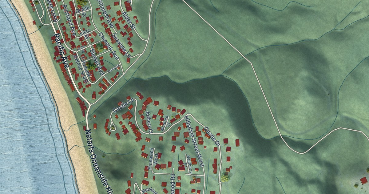
A detailed map of Oceanside, Oregon, showing every building in its true location, the roads by name, and shaded topographical relief.
Read More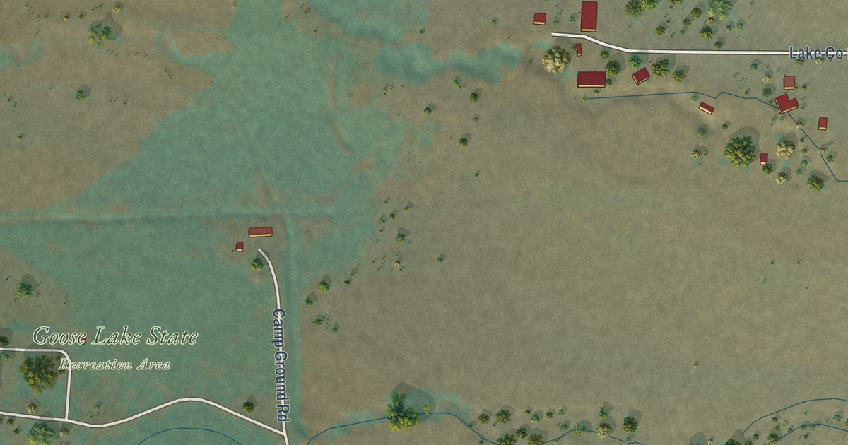
A detailed map of New Pine Creek, Oregon, showing every building in its true location, the roads by name, and shaded topographical relief.
Read More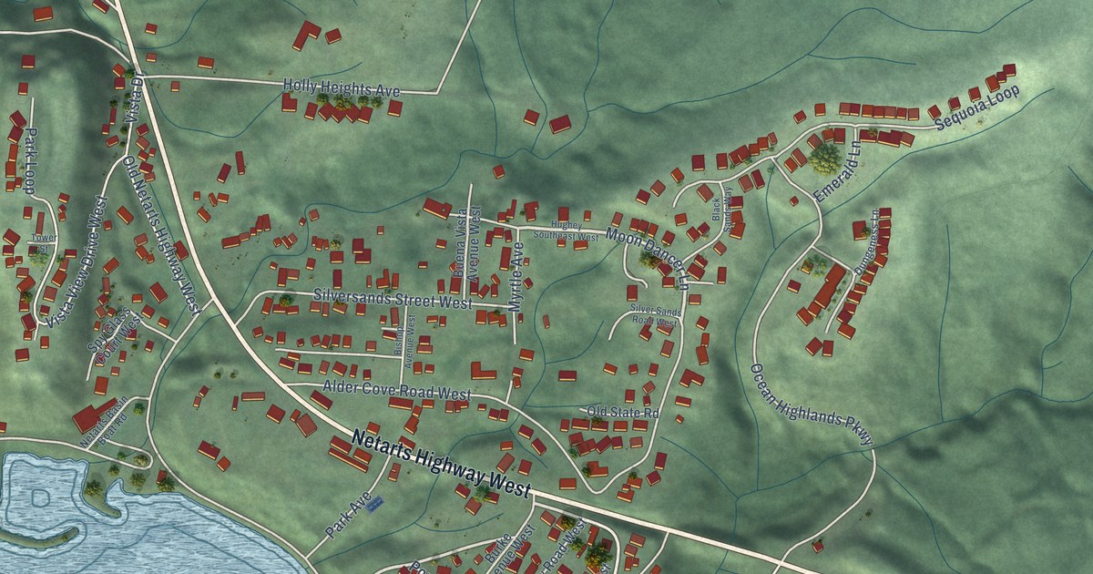
A detailed map of Netarts, Oregon, showing every building in its true location, the roads by name, and shaded topographical relief.
Read More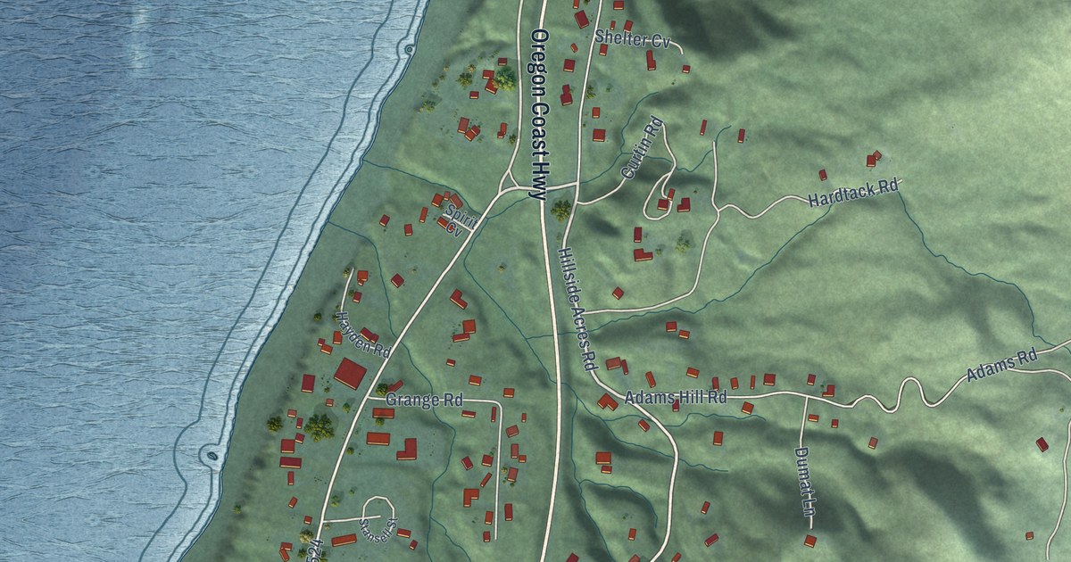
A detailed map of Nesika Beach, Oregon, showing every building in its true location, the roads by name, and shaded topographical relief.
Read More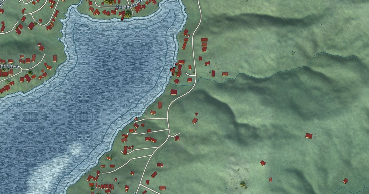
A detailed map of Neotsu, Oregon, showing every building in its true location, the roads by name, and shaded topographical relief.
Read More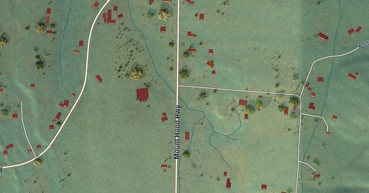
A detailed map of Mount Hood, Oregon, showing every building in its true location, the roads by name, and shaded topographical relief.
Read More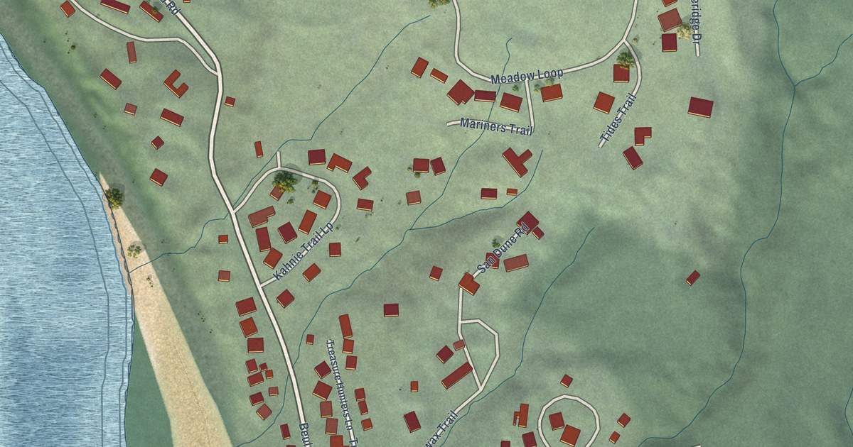
A detailed map of Neahkahnie, Oregon, showing every building in its true location, the roads by name, and shaded topographical relief.
Read More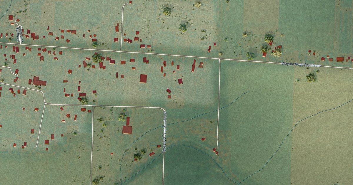
A detailed map of Marion, Oregon, showing every building in its true location, the roads by name, and shaded topographical relief.
Read More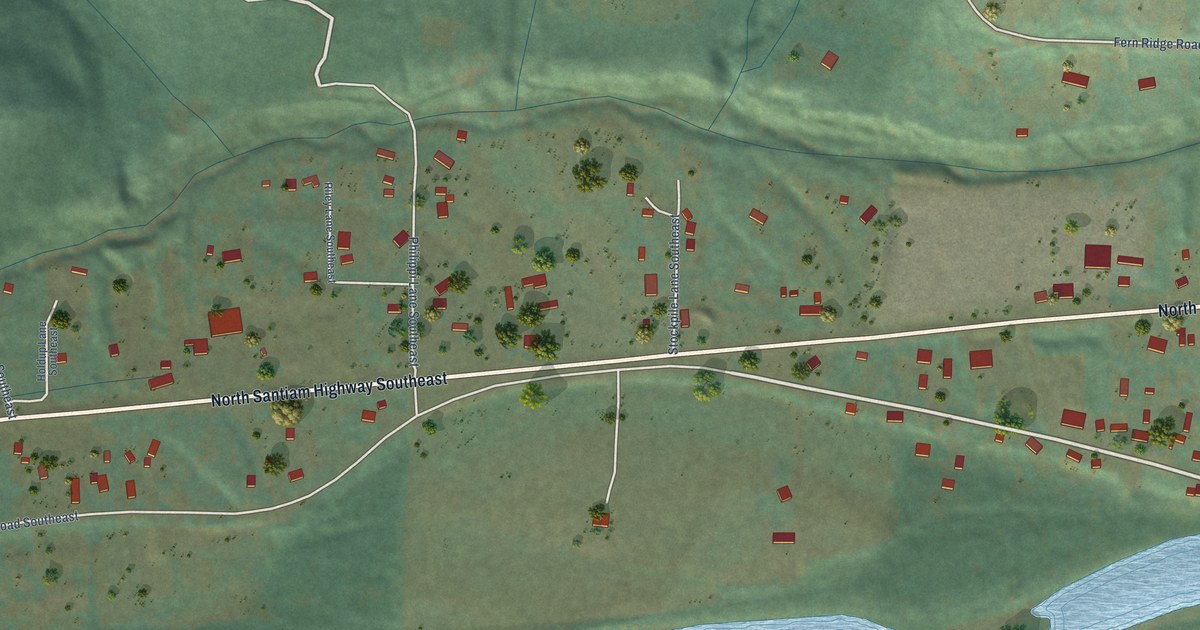
A detailed map of Mehama, Oregon, showing every building in its true location, the roads by name, and shaded topographical relief.
Read More















