Detailed Map of Marcola, Oregon
A detailed map of Marcola, Oregon, showing every building in its true location, the roads by name, and shaded topographical relief.
Read More
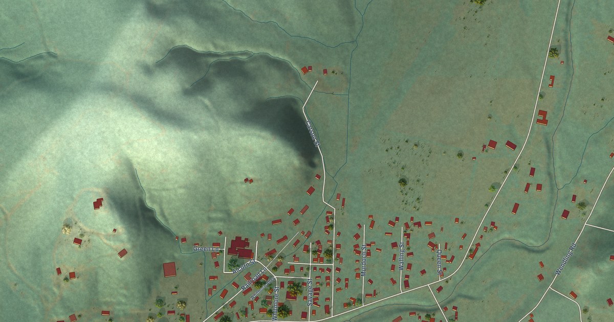
A detailed map of Marcola, Oregon, showing every building in its true location, the roads by name, and shaded topographical relief.
Read More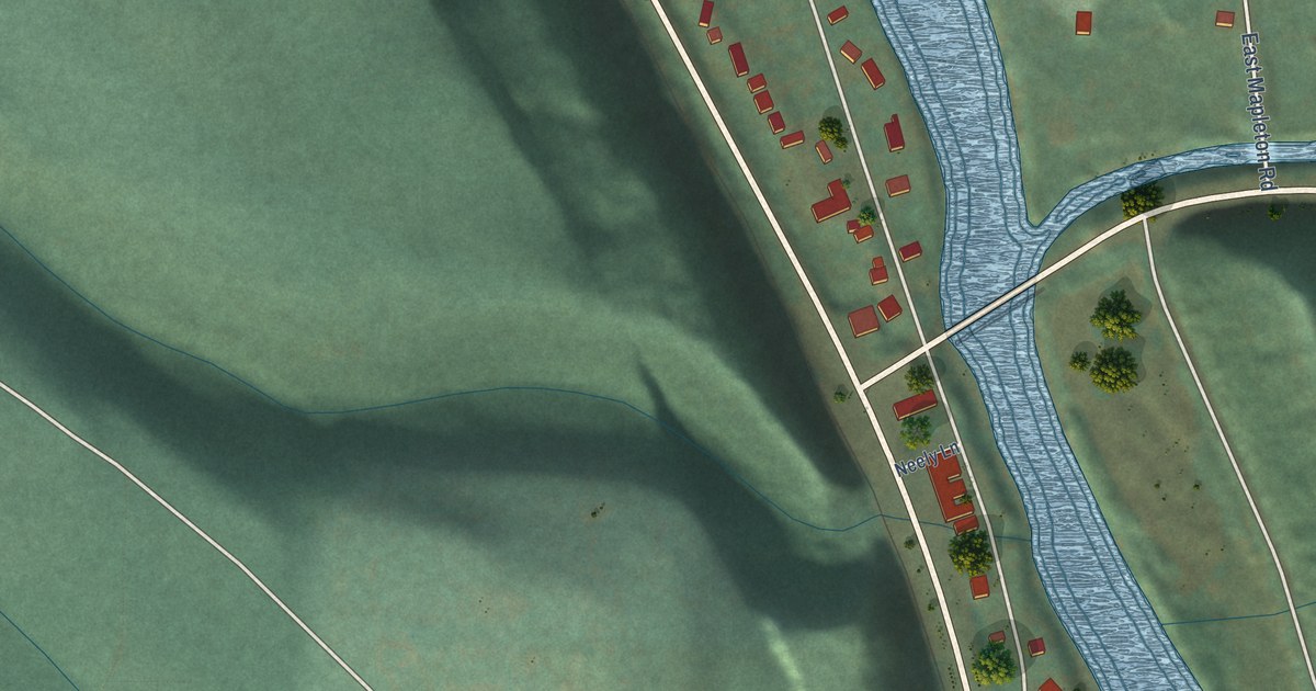
A detailed map of Mapleton, Oregon, showing every building in its true location, the roads by name, and shaded topographical relief.
Read More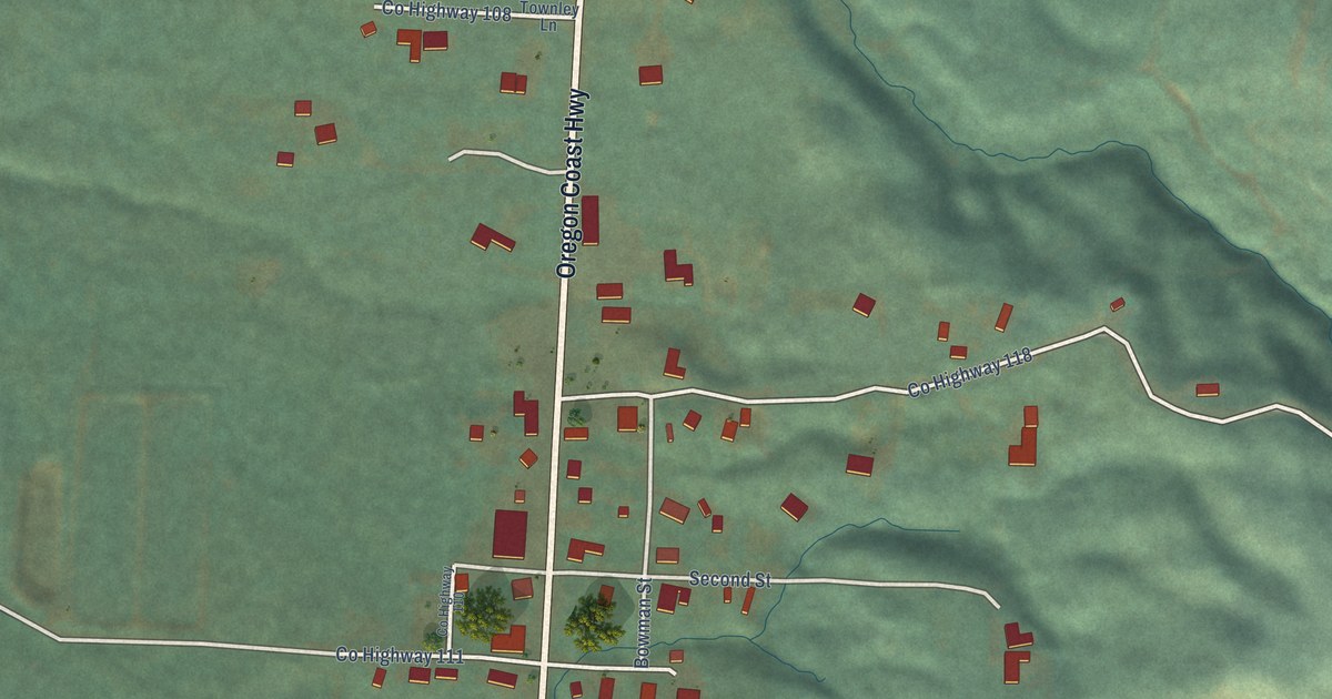
A detailed map of Langlois, Oregon, showing every building in its true location, the roads by name, and shaded topographical relief.
Read More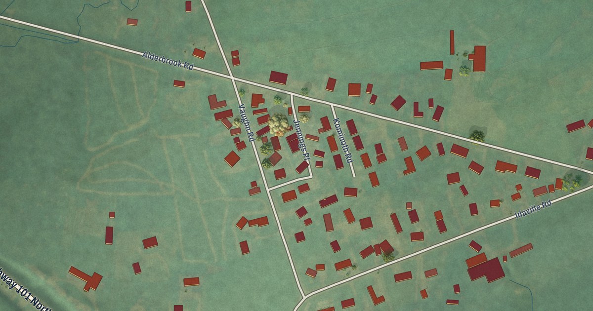
A detailed map of Idaville, Oregon, showing every building in its true location, the roads by name, and shaded topographical relief.
Read More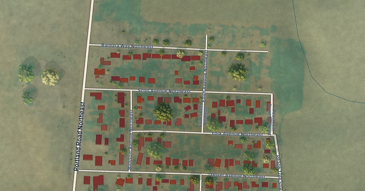
A detailed map of Labish Village, Oregon, showing every building in its true location, the roads by name, and shaded topographical relief.
Read More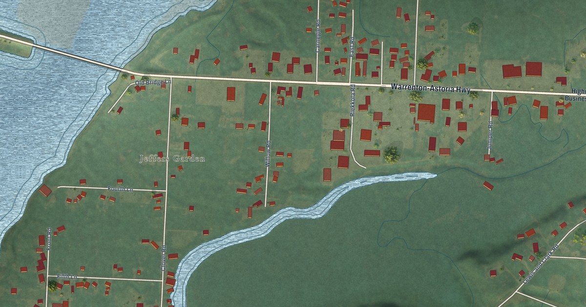
A detailed map of Jeffers Gardens, Oregon, showing every building in its true location, the roads by name, and shaded topographical relief.
Read More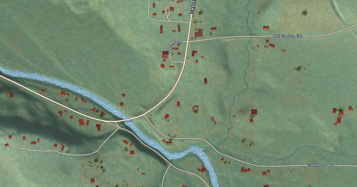
A detailed map of Holley, Oregon, showing every building in its true location, the roads by name, and shaded topographical relief.
Read More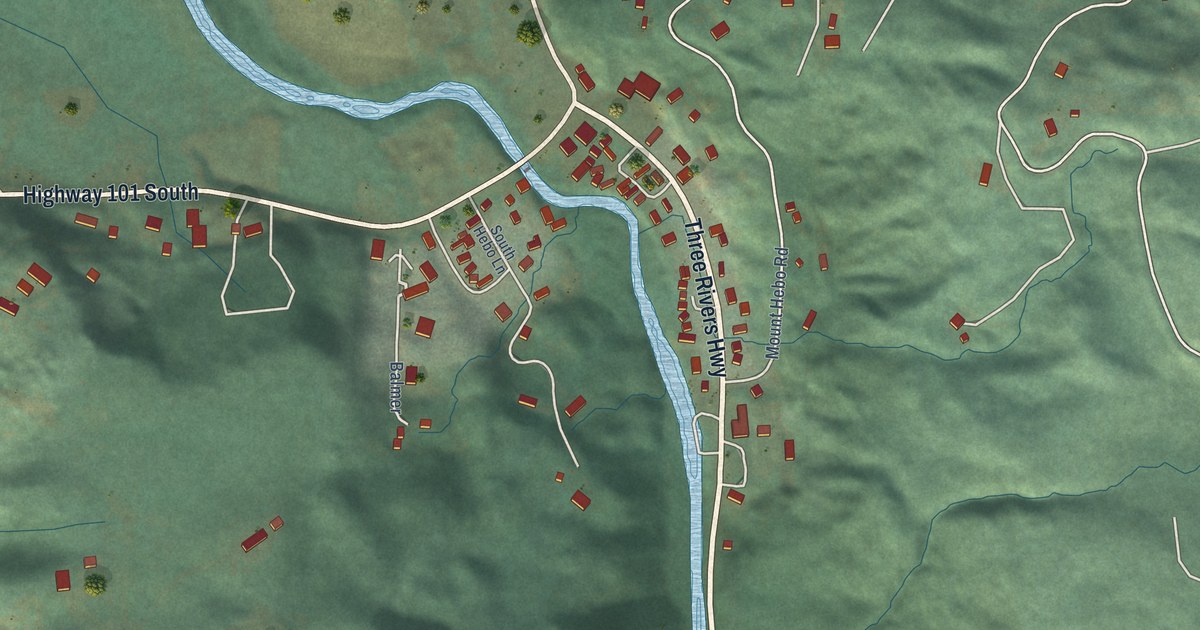
A detailed map of Hebo, Oregon, showing every building in its true location, the roads by name, and shaded topographical relief.
Read More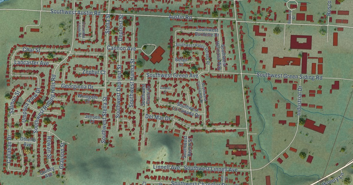
A detailed map of Green, Oregon, showing every building in its true location, the roads by name, and shaded topographical relief.
Read More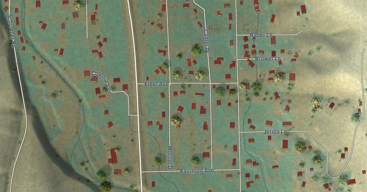
A detailed map of Green Meadows, Oregon, showing every building in its true location, the roads by name, and shaded topographical relief.
Read More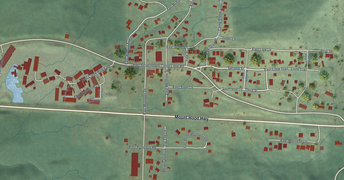
A detailed map of Government Camp, Oregon, showing every building in its true location, the roads by name, and shaded topographical relief.
Read More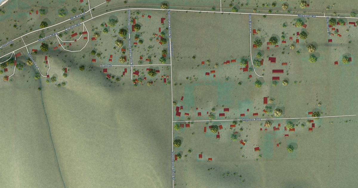
A detailed map of Gopher Flats, Oregon, showing every building in its true location, the roads by name, and shaded topographical relief.
Read More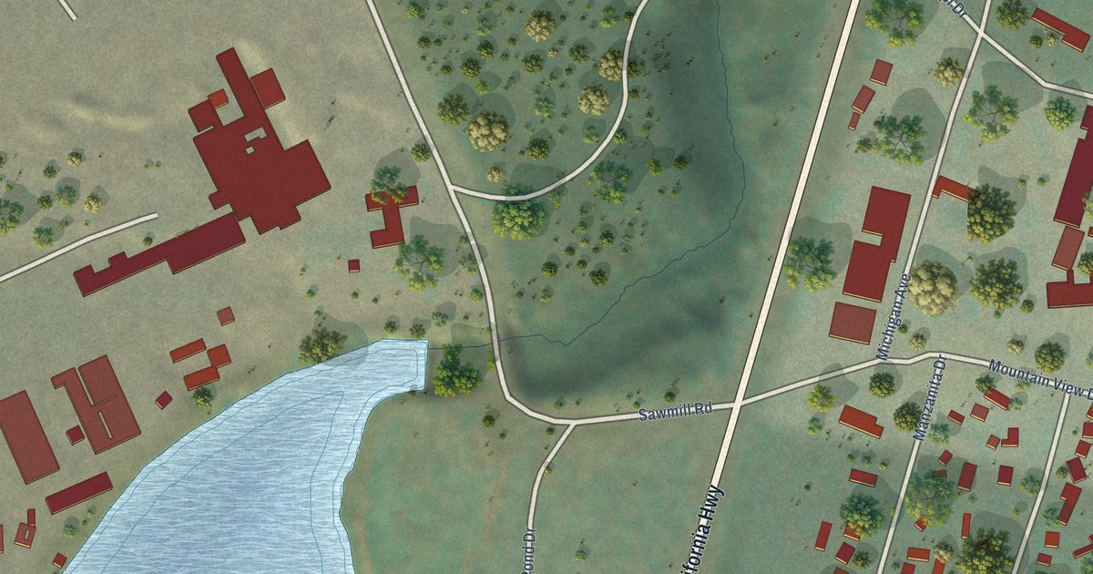
A detailed map of Gilchrist, Oregon, showing every building in its true location, the roads by name, and shaded topographical relief.
Read More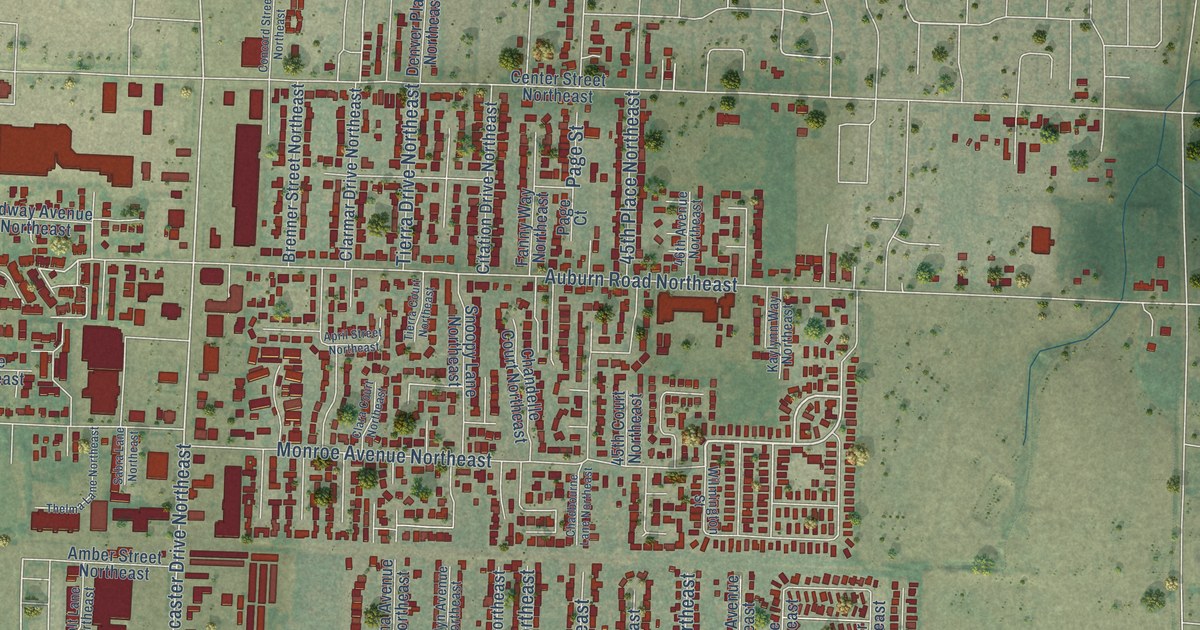
A detailed map of Four Corners, Oregon, showing every building in its true location, the roads by name, and shaded topographical relief.
Read More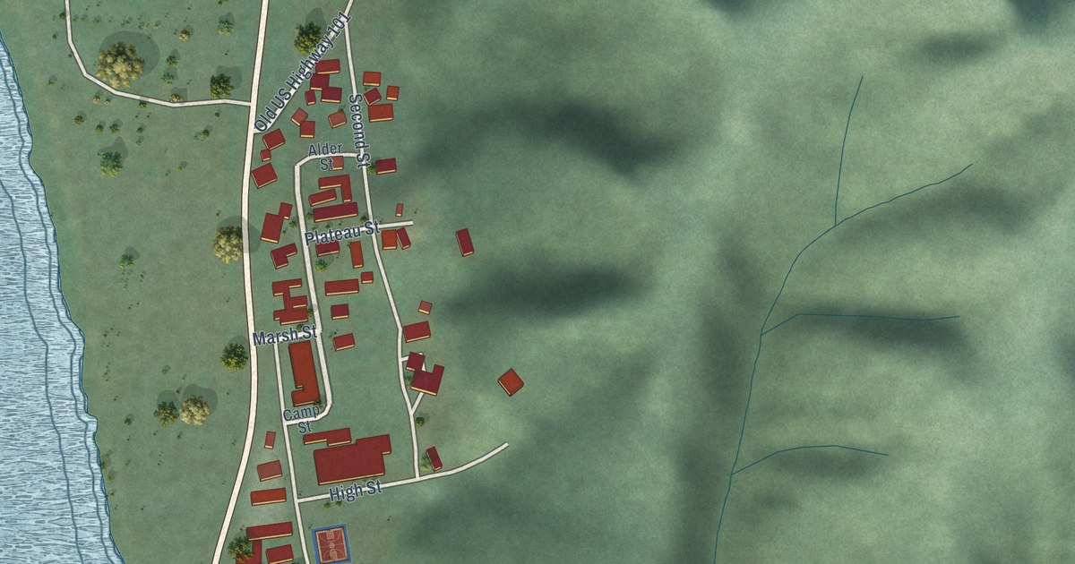
A detailed map of Gardiner, Oregon, showing every building in its true location, the roads by name, and shaded topographical relief.
Read More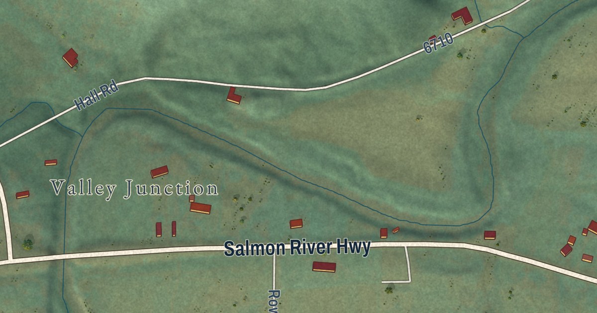
A detailed map of Fort Hill, Oregon, showing every building in its true location, the roads by name, and shaded topographical relief.
Read More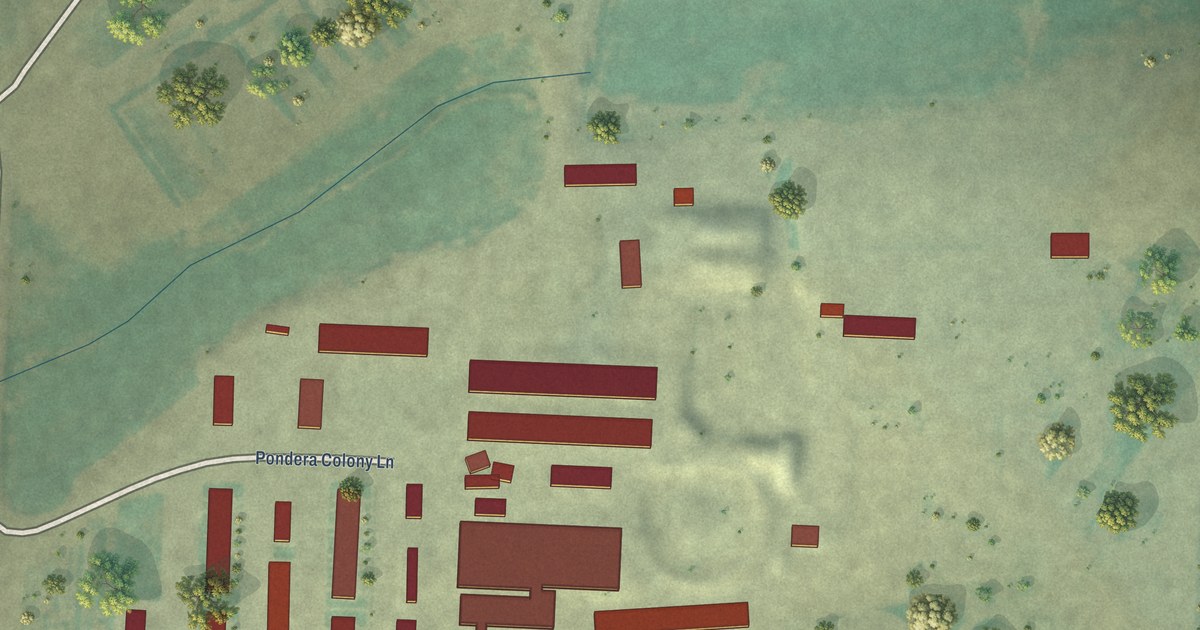
A detailed map of Pondera Colony, Montana, showing every building in its true location, the roads by name, and shaded topographical relief.
Read More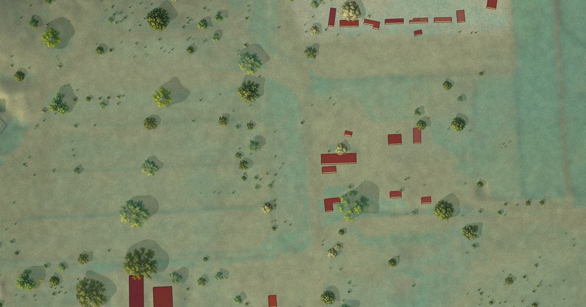
A detailed map of Prairie Elk Colony, Montana, showing every building in its true location, the roads by name, and shaded topographical relief.
Read More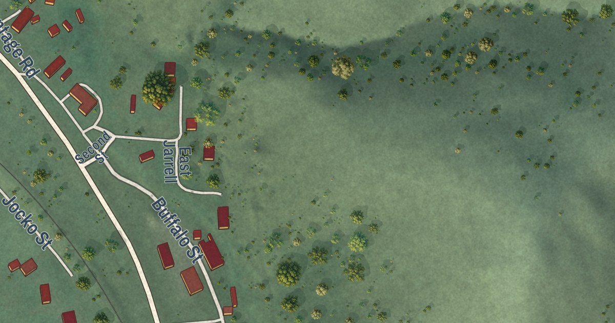
A detailed map of Ravalli, Montana, showing every building in its true location, the roads by name, and shaded topographical relief.
Read More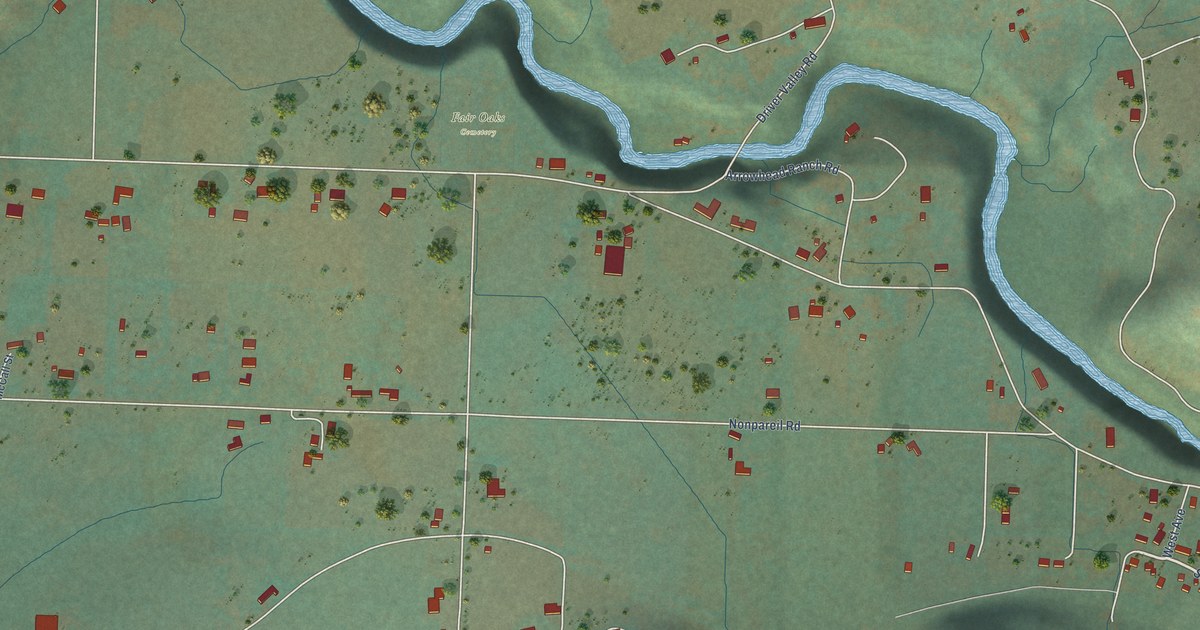
A detailed map of Fair Oaks, Oregon, showing every building in its true location, the roads by name, and shaded topographical relief.
Read More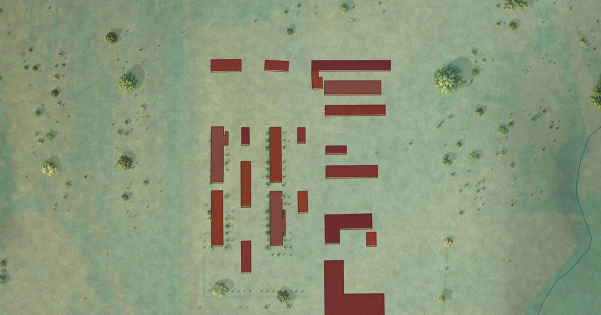
A detailed map of Pleasant Valley Colony, Montana, showing every building in its true location, the roads by name, and shaded topographical relief.
Read More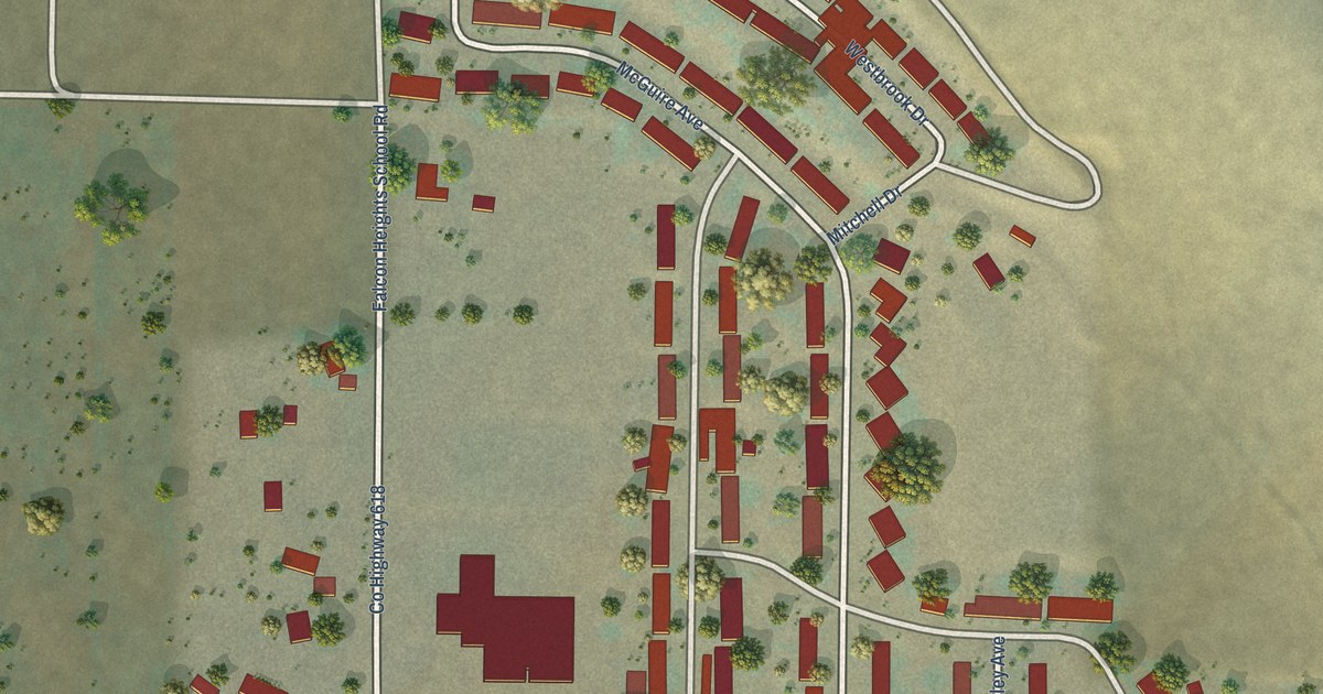
A detailed map of Falcon Heights, Oregon, showing every building in its true location, the roads by name, and shaded topographical relief.
Read More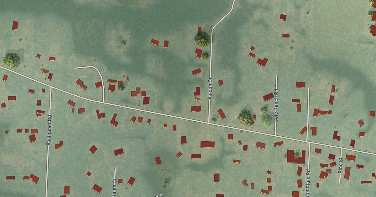
A detailed map of Elmira, Oregon, showing every building in its true location, the roads by name, and shaded topographical relief.
Read More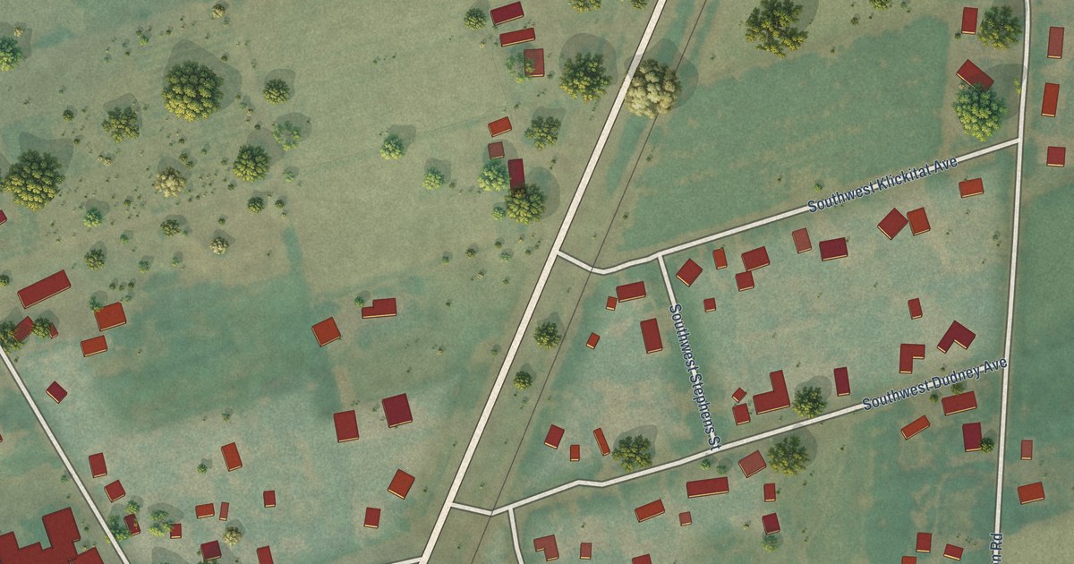
A detailed map of Dilley, Oregon, showing every building in its true location, the roads by name, and shaded topographical relief.
Read More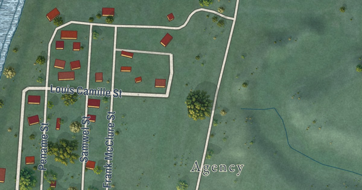
A detailed map of Old Agency, Montana, showing every building in its true location, the roads by name, and shaded topographical relief.
Read More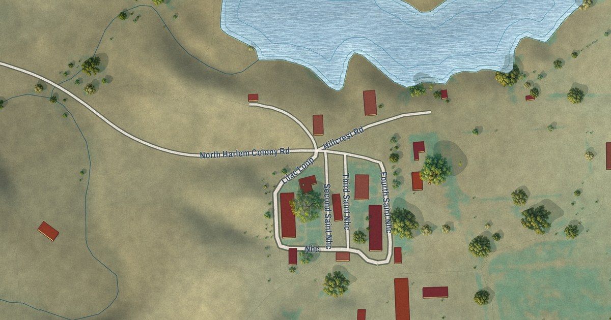
A detailed map of North Harlem Colony, Montana, showing every building in its true location, the roads by name, and shaded topographical relief.
Read More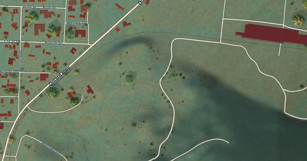
A detailed map of Dillard, Oregon, showing every building in its true location, the roads by name, and shaded topographical relief.
Read More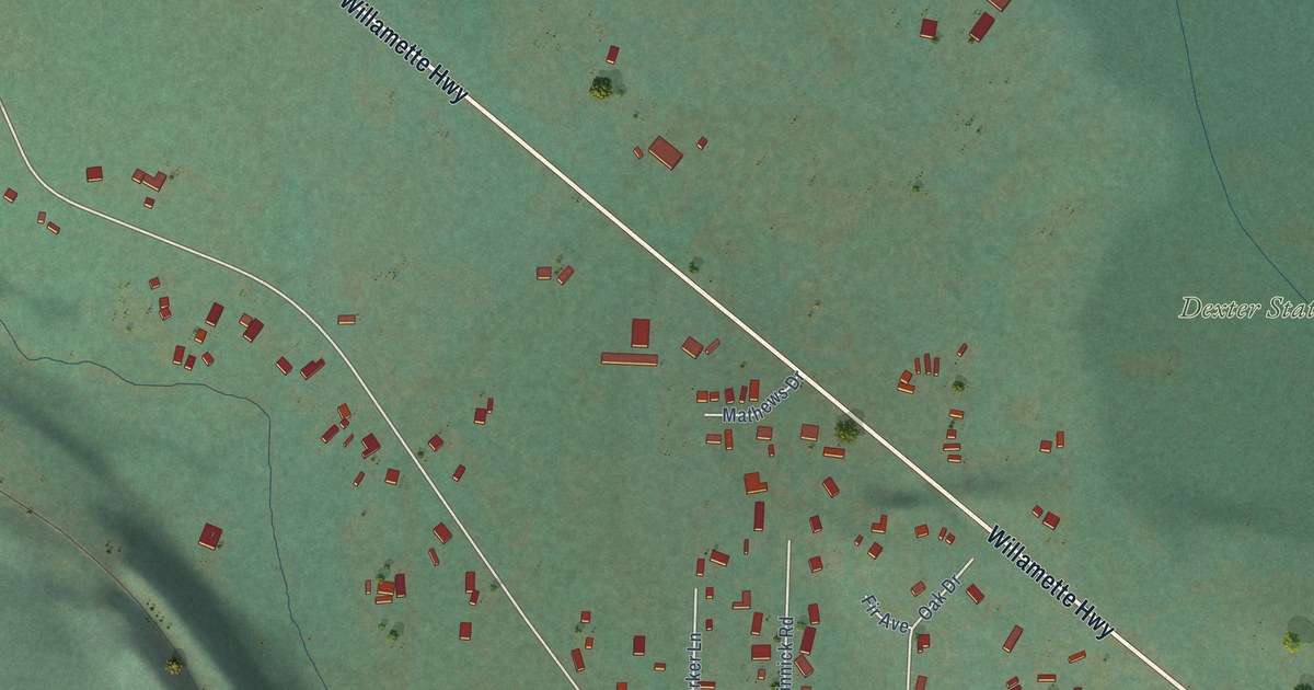
A detailed map of Dexter, Oregon, showing every building in its true location, the roads by name, and shaded topographical relief.
Read More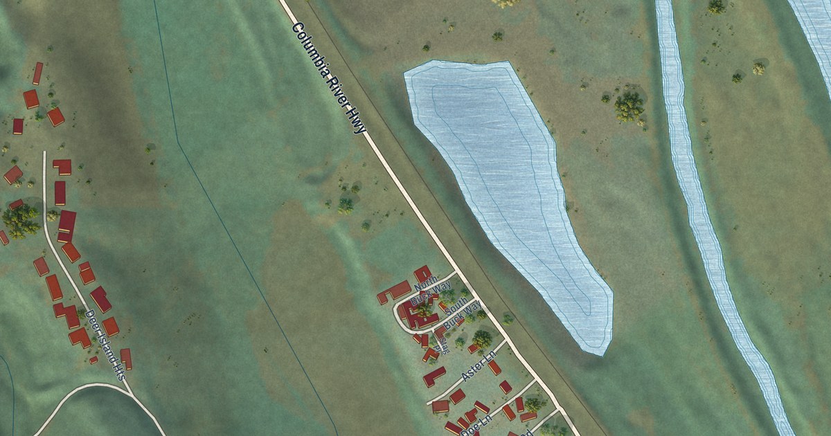
A detailed map of Deer Island, Oregon, showing every building in its true location, the roads by name, and shaded topographical relief.
Read More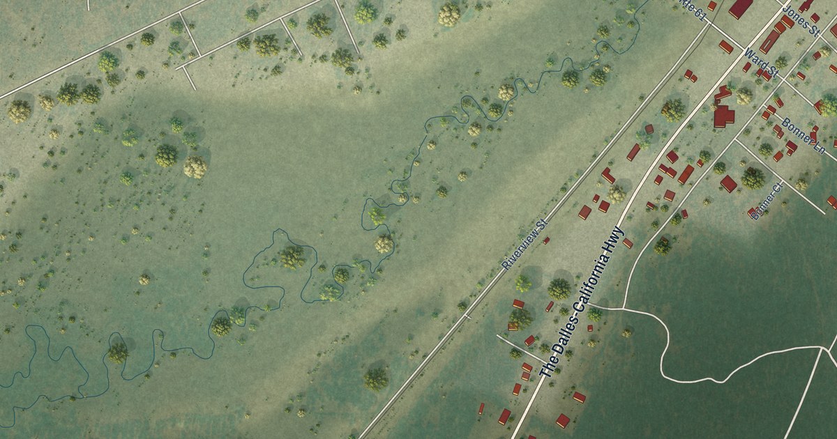
A detailed map of Crescent, Oregon, showing every building in its true location, the roads by name, and shaded topographical relief.
Read More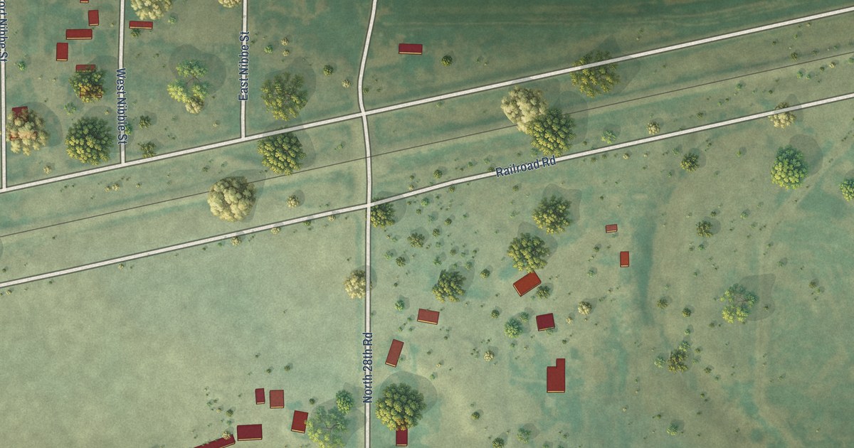
A detailed map of Nibbe, Montana, showing every building in its true location, the roads by name, and shaded topographical relief.
Read More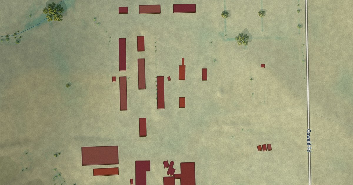
A detailed map of Mountain View Colony, Montana, showing every building in its true location, the roads by name, and shaded topographical relief.
Read More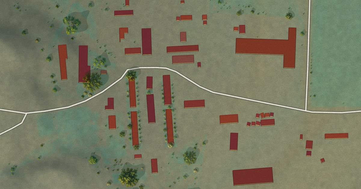
A detailed map of Miller Colony, Montana, showing every building in its true location, the roads by name, and shaded topographical relief.
Read More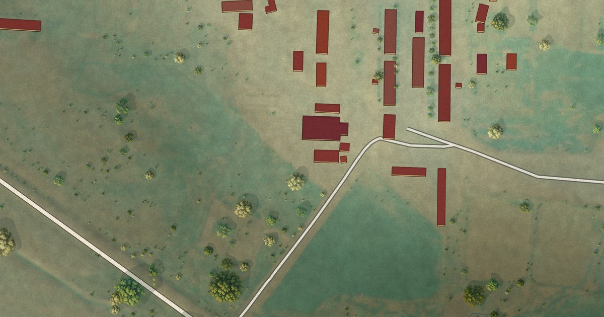
A detailed map of Milford Colony, Montana, showing every building in its true location, the roads by name, and shaded topographical relief.
Read More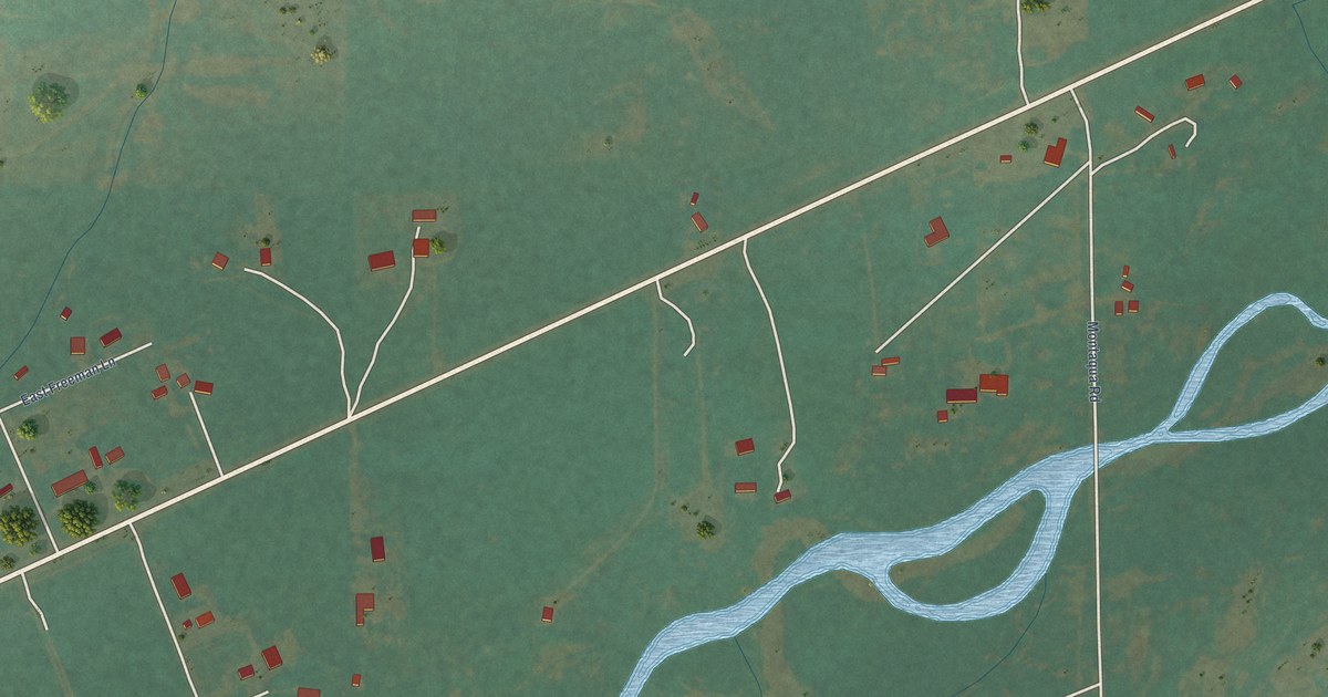
A detailed map of Montaqua, Montana, showing every building in its true location, the roads by name, and shaded topographical relief.
Read More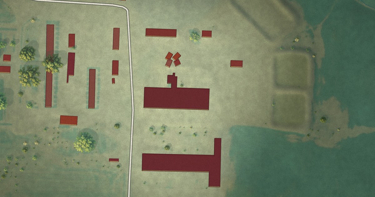
A detailed map of Midway Colony, Montana, showing every building in its true location, the roads by name, and shaded topographical relief.
Read More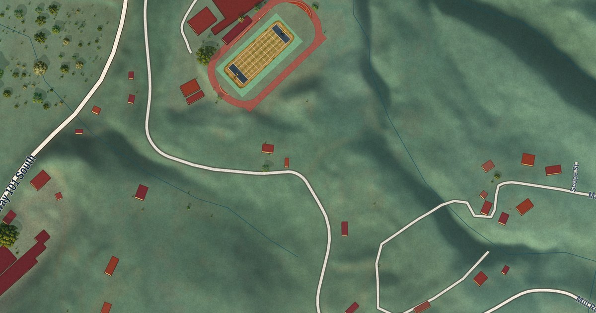
A detailed map of Cloverdale, Oregon, showing every building in its true location, the roads by name, and shaded topographical relief.
Read More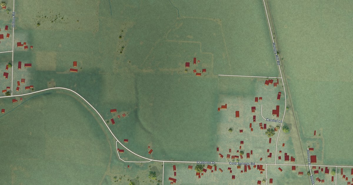
A detailed map of Crabtree, Oregon, showing every building in its true location, the roads by name, and shaded topographical relief.
Read More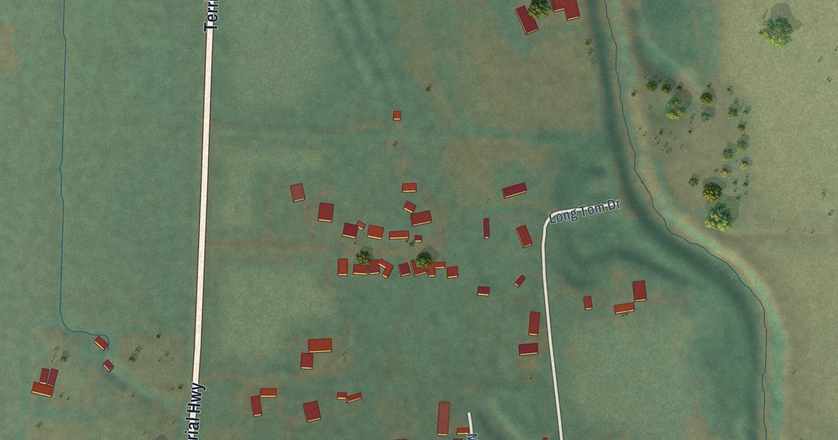
A detailed map of Cheshire, Oregon, showing every building in its true location, the roads by name, and shaded topographical relief.
Read More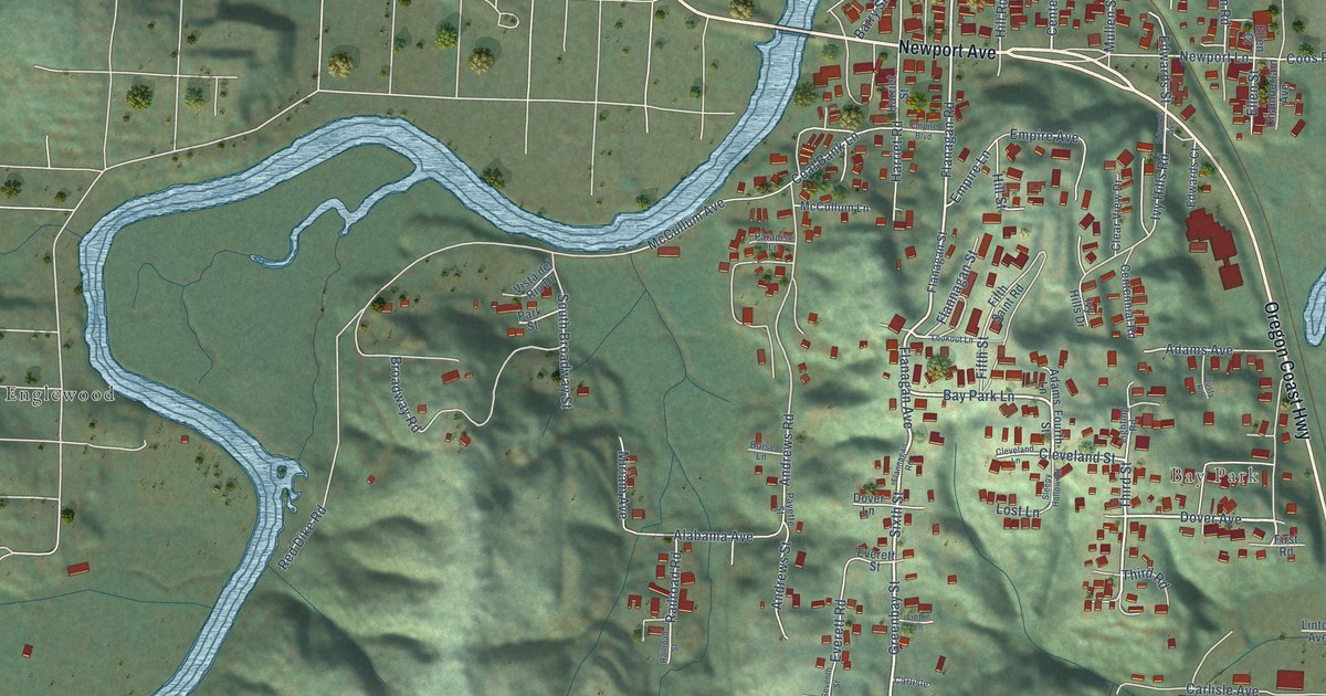
A detailed map of Bunker Hill, Oregon, showing every building in its true location, the roads by name, and shaded topographical relief.
Read More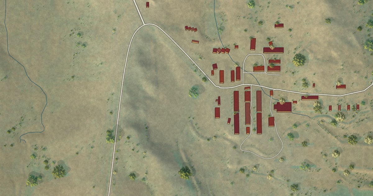
A detailed map of Martinsdale Colony, Montana, showing every building in its true location, the roads by name, and shaded topographical relief.
Read More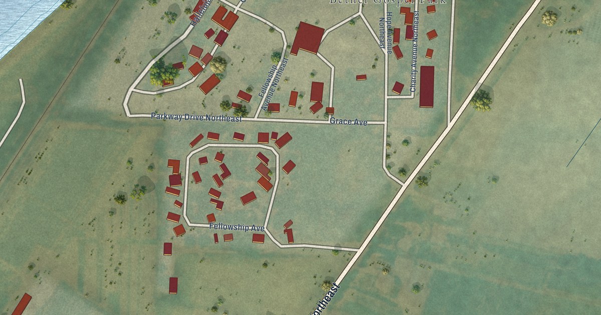
A detailed map of Brooks, Oregon, showing every building in its true location, the roads by name, and shaded topographical relief.
Read More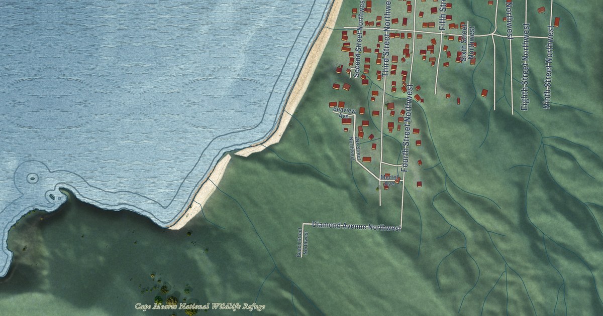
A detailed map of Cape Meares, Oregon, showing every building in its true location, the roads by name, and shaded topographical relief.
Read More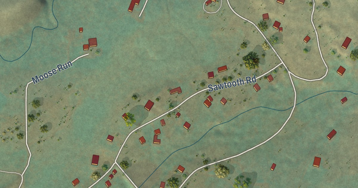
A detailed map of Maverick Mountain, Montana, showing every building in its true location, the roads by name, and shaded topographical relief.
Read More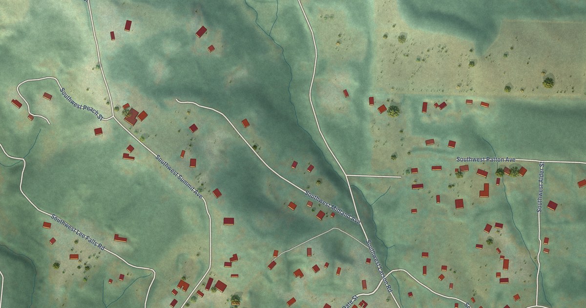
A detailed map of Cherry Grove, Oregon, showing every building in its true location, the roads by name, and shaded topographical relief.
Read More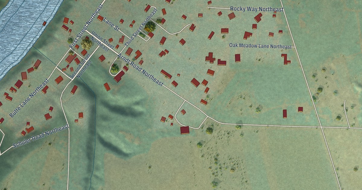
A detailed map of Butteville, Oregon, showing every building in its true location, the roads by name, and shaded topographical relief.
Read More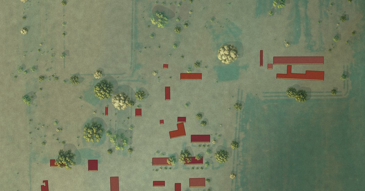
A detailed map of Loring Colony, Montana, showing every building in its true location, the roads by name, and shaded topographical relief.
Read More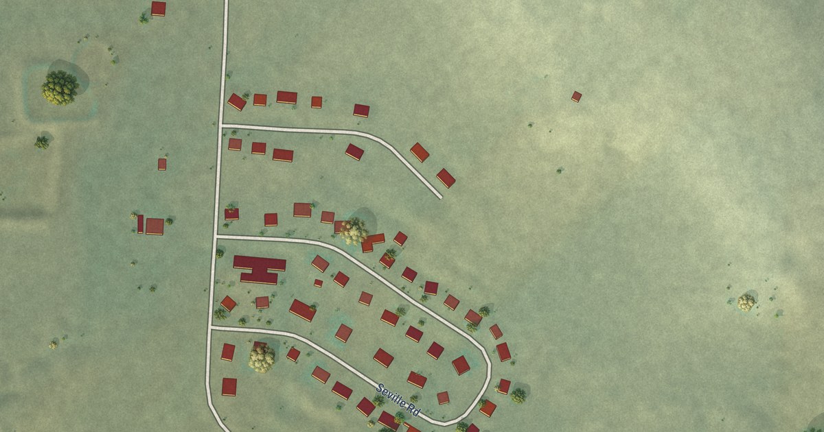
A detailed map of Little Browning, Montana, showing every building in its true location, the roads by name, and shaded topographical relief.
Read More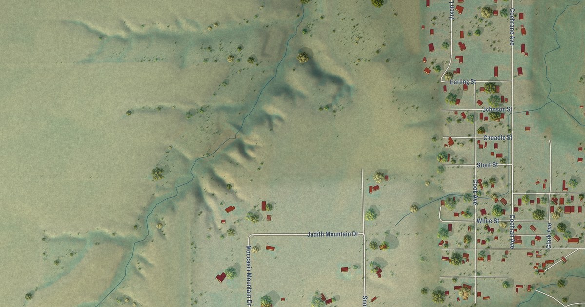
A detailed map of Lewistown Heights, Montana, showing every building in its true location, the roads by name, and shaded topographical relief.
Read More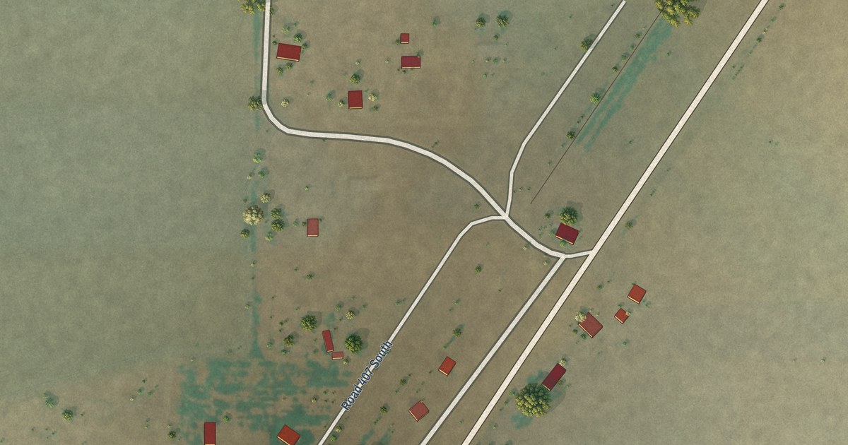
A detailed map of Laredo, Montana, showing every building in its true location, the roads by name, and shaded topographical relief.
Read More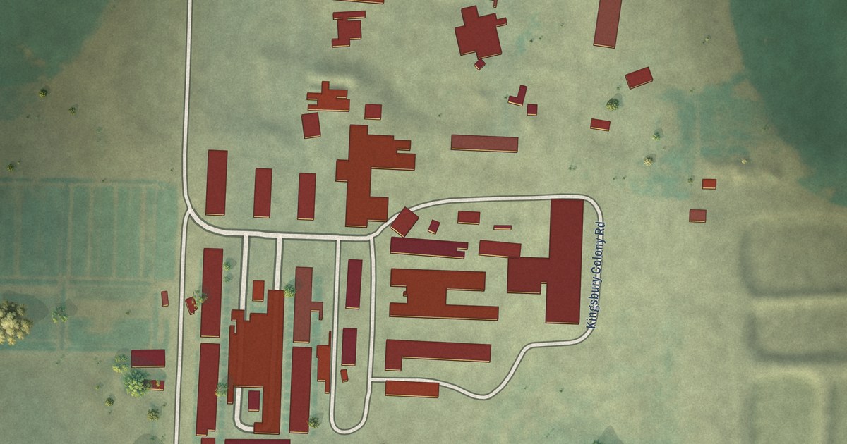
A detailed map of Kingsbury Colony, Montana, showing every building in its true location, the roads by name, and shaded topographical relief.
Read More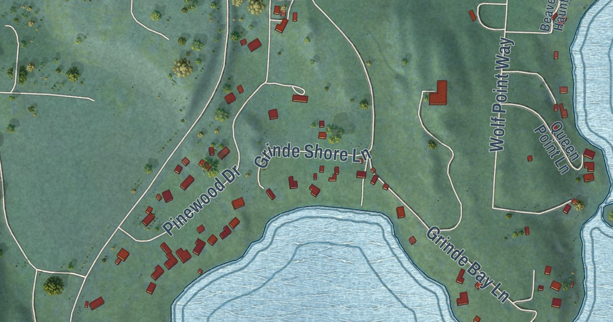
A detailed map of Kings Point, Montana, showing every building in its true location, the roads by name, and shaded topographical relief.
Read More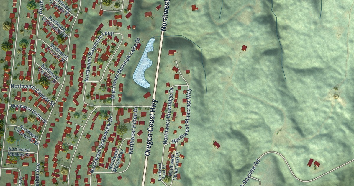
A detailed map of Bayshore, Oregon, showing every building in its true location, the roads by name, and shaded topographical relief.
Read More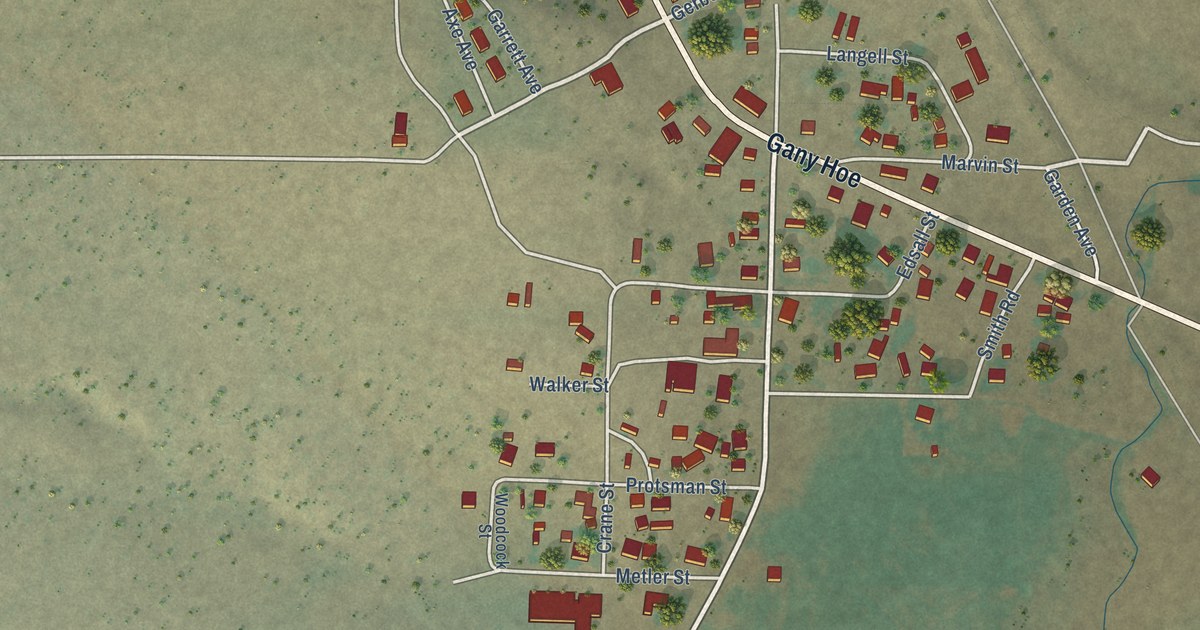
A detailed map of Bly, Oregon, showing every building in its true location, the roads by name, and shaded topographical relief.
Read More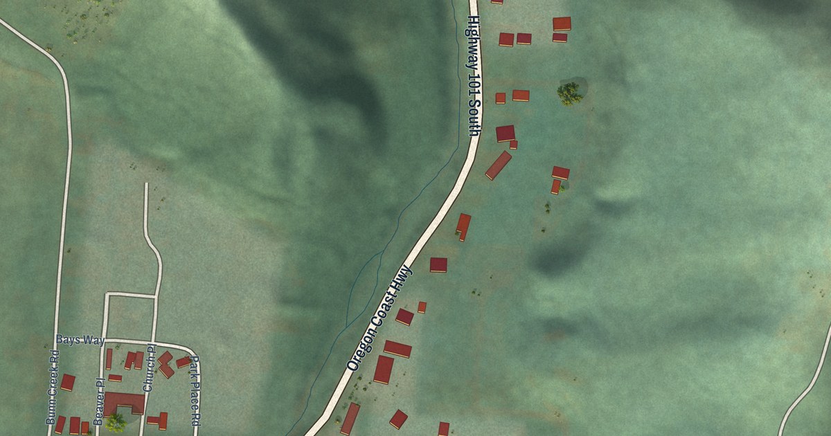
A detailed map of Beaver, Oregon, showing every building in its true location, the roads by name, and shaded topographical relief.
Read More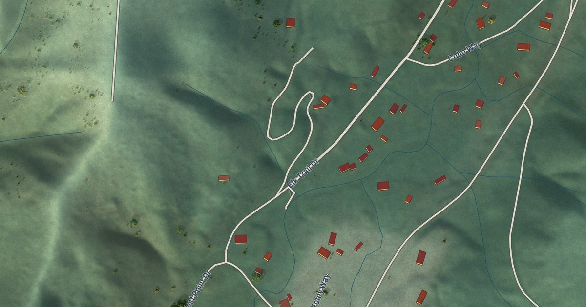
A detailed map of Barnesdale, Oregon, showing every building in its true location, the roads by name, and shaded topographical relief.
Read More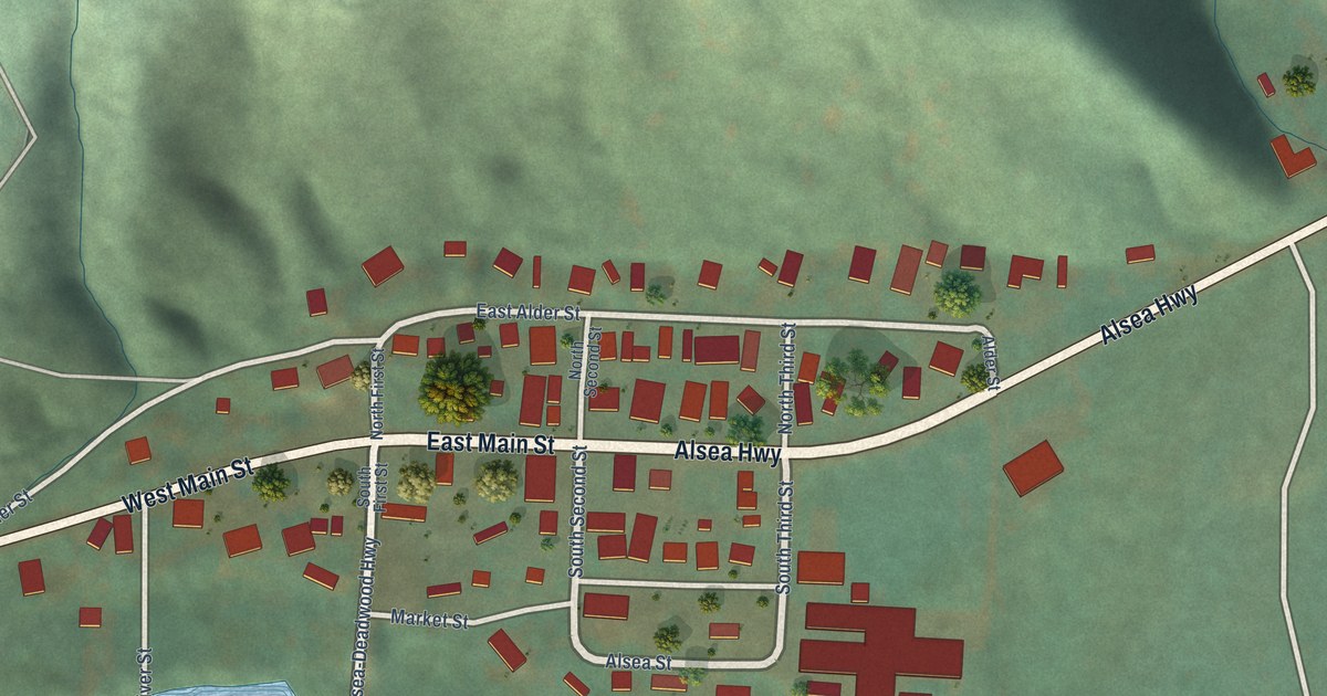
A detailed map of Alsea, Oregon, showing every building in its true location, the roads by name, and shaded topographical relief.
Read More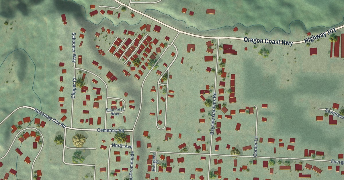
A detailed map of Bayside Gardens, Oregon, showing every building in its true location, the roads by name, and shaded topographical relief.
Read More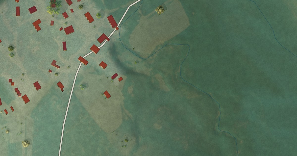
A detailed map of King Ranch Colony, Montana, showing every building in its true location, the roads by name, and shaded topographical relief.
Read More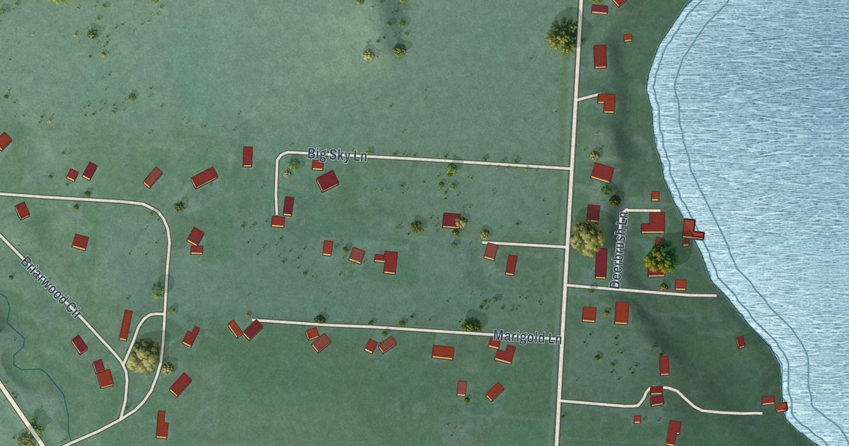
A detailed map of Jette, Montana, showing every building in its true location, the roads by name, and shaded topographical relief.
Read More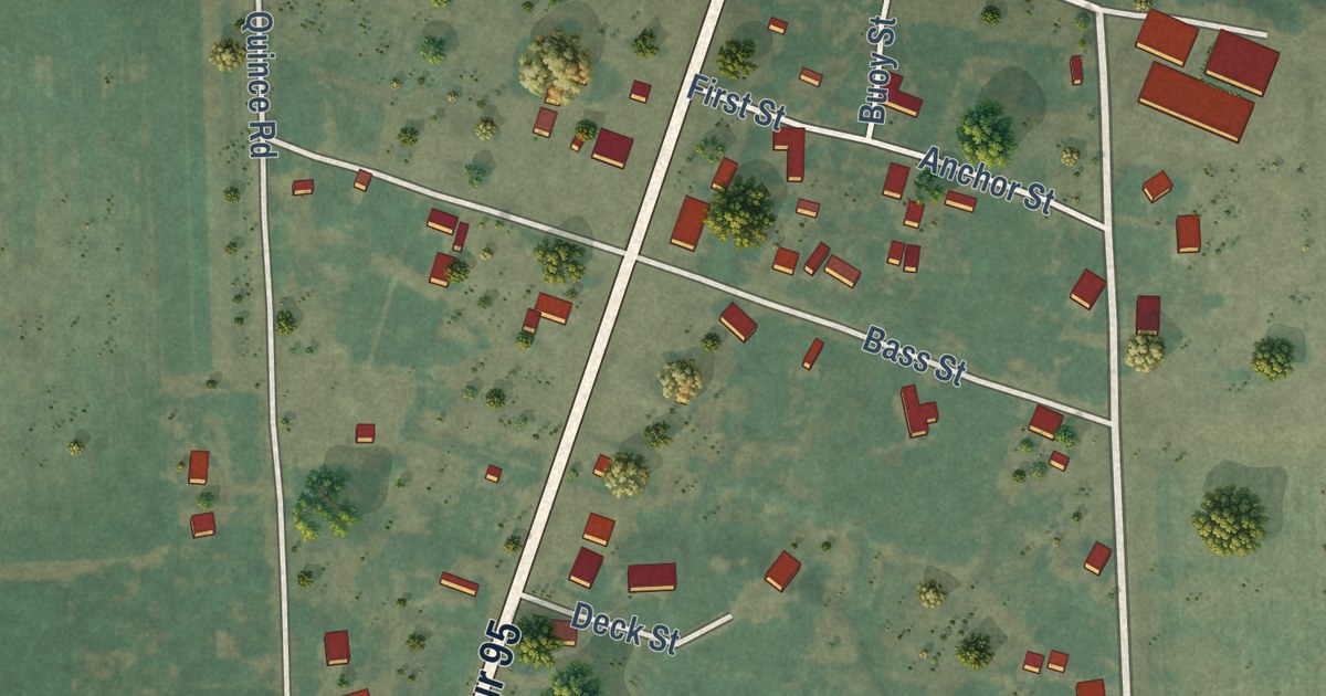
A detailed map of Annex, Oregon, showing every building in its true location, the roads by name, and shaded topographical relief.
Read More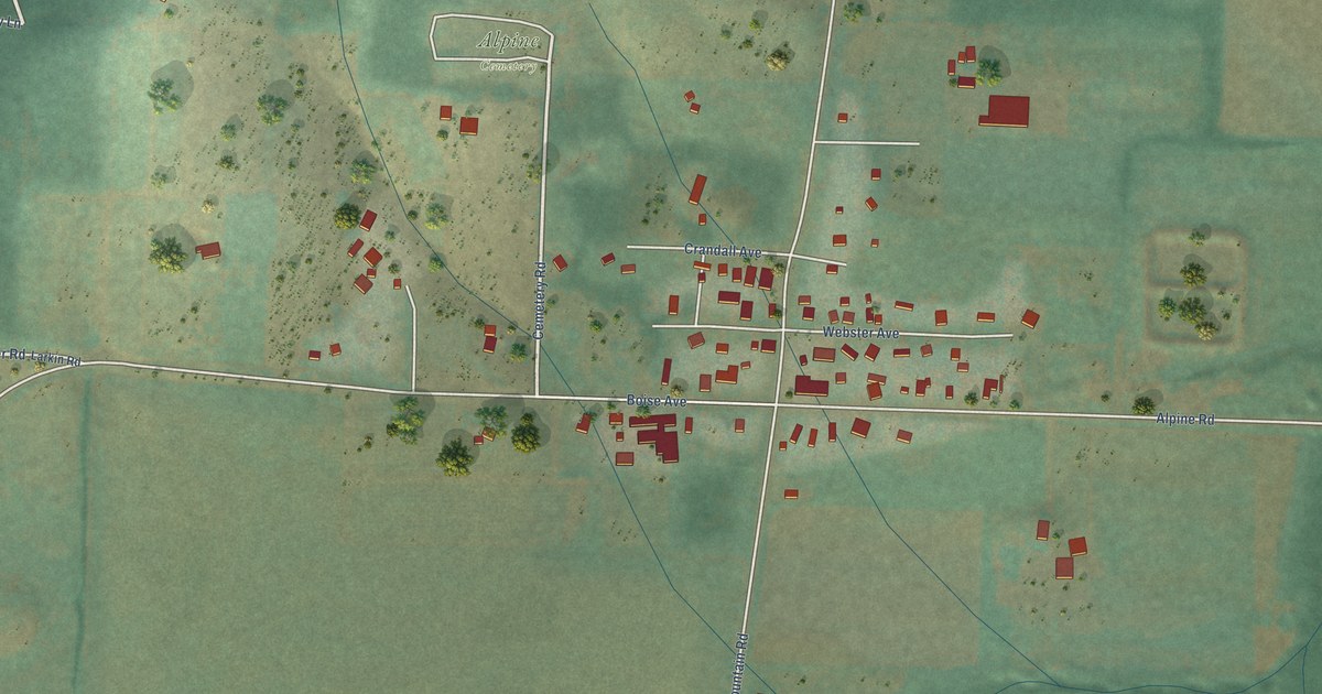
A detailed map of Alpine, Oregon, showing every building in its true location, the roads by name, and shaded topographical relief.
Read More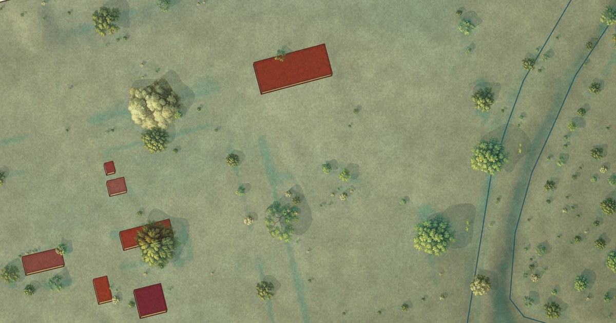
A detailed map of Kilby Butte Colony, Montana, showing every building in its true location, the roads by name, and shaded topographical relief.
Read More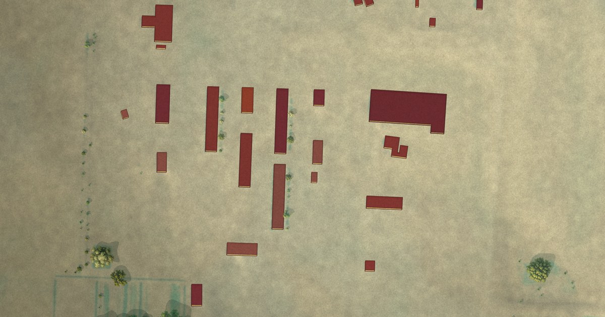
A detailed map of Horizon Colony, Montana, showing every building in its true location, the roads by name, and shaded topographical relief.
Read More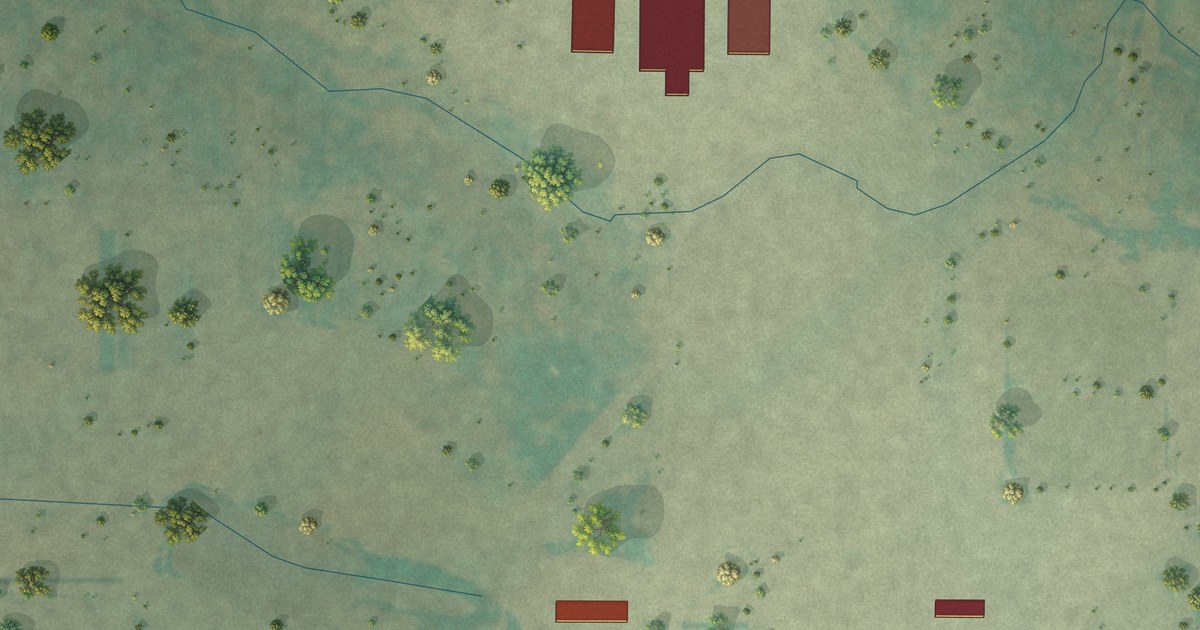
A detailed map of Hilldale Colony, Montana, showing every building in its true location, the roads by name, and shaded topographical relief.
Read More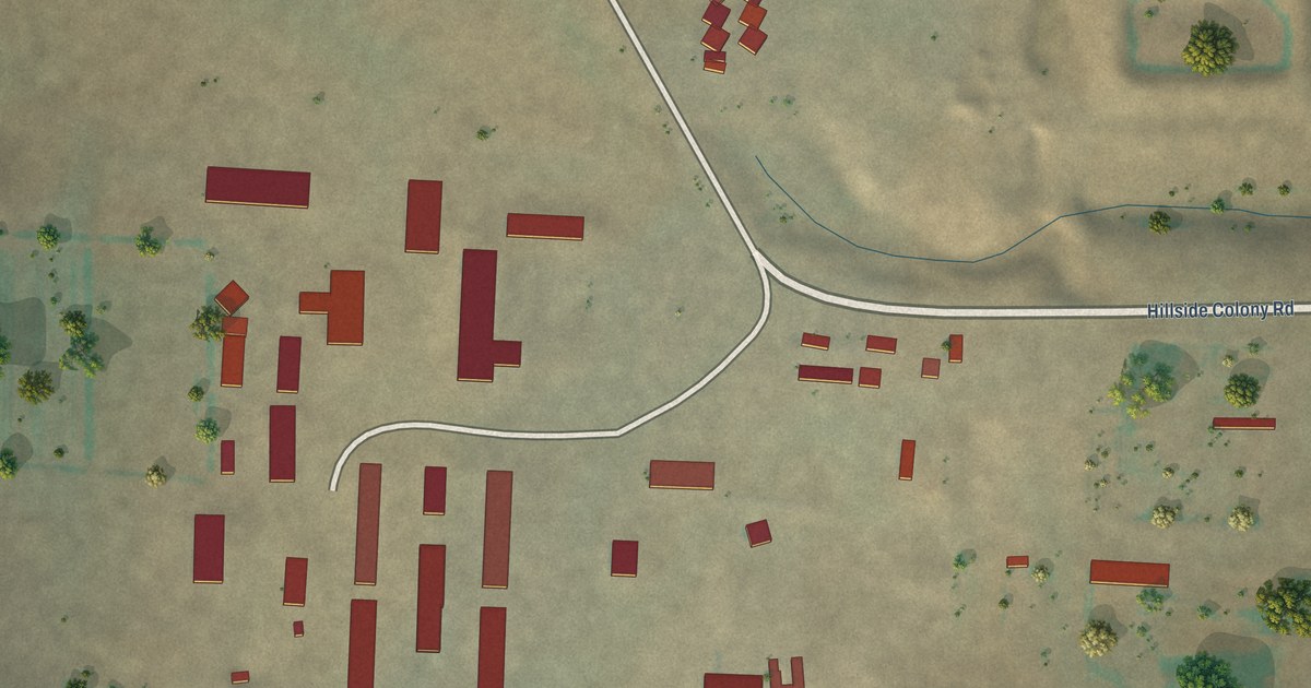
A detailed map of Hillside Colony, Montana, showing every building in its true location, the roads by name, and shaded topographical relief.
Read More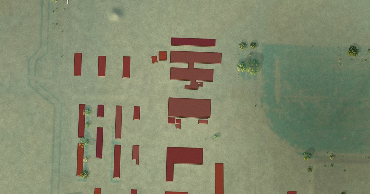
A detailed map of Hidden Lake Colony, Montana, showing every building in its true location, the roads by name, and shaded topographical relief.
Read More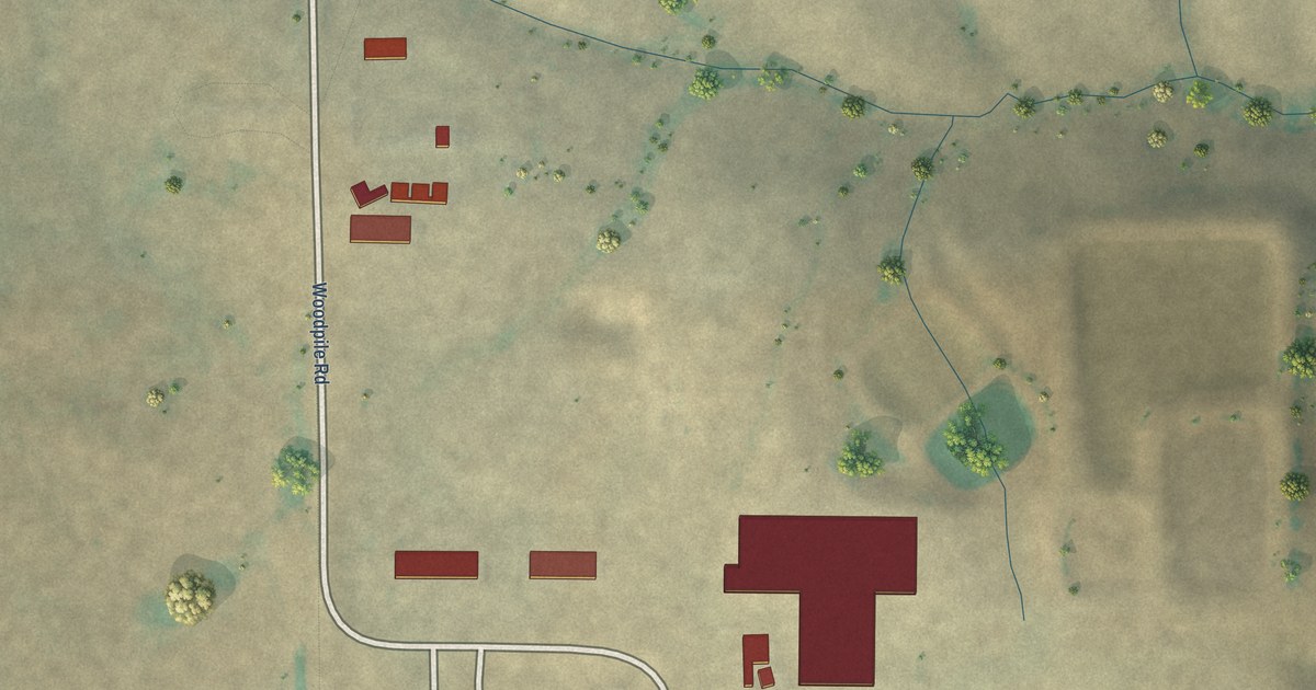
A detailed map of Hartland Colony, Montana, showing every building in its true location, the roads by name, and shaded topographical relief.
Read More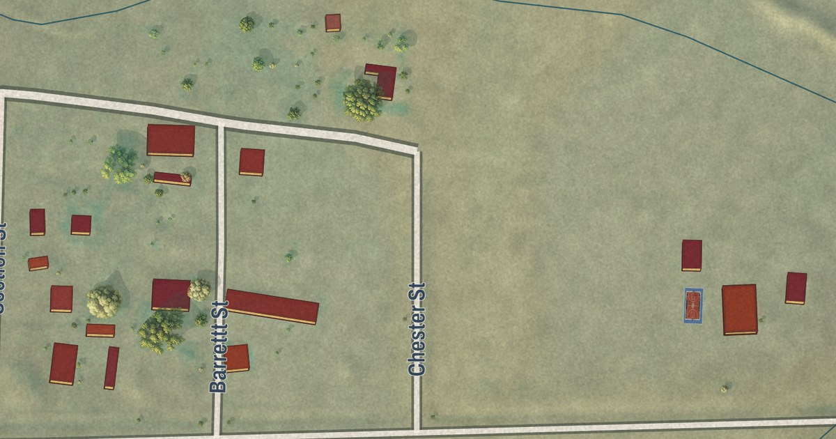
A detailed map of Grant, Montana, showing every building in its true location, the roads by name, and shaded topographical relief.
Read More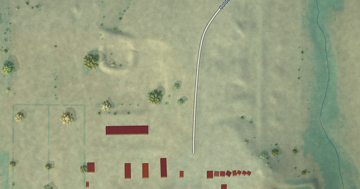
A detailed map of Golden Valley Colony, Montana, showing every building in its true location, the roads by name, and shaded topographical relief.
Read More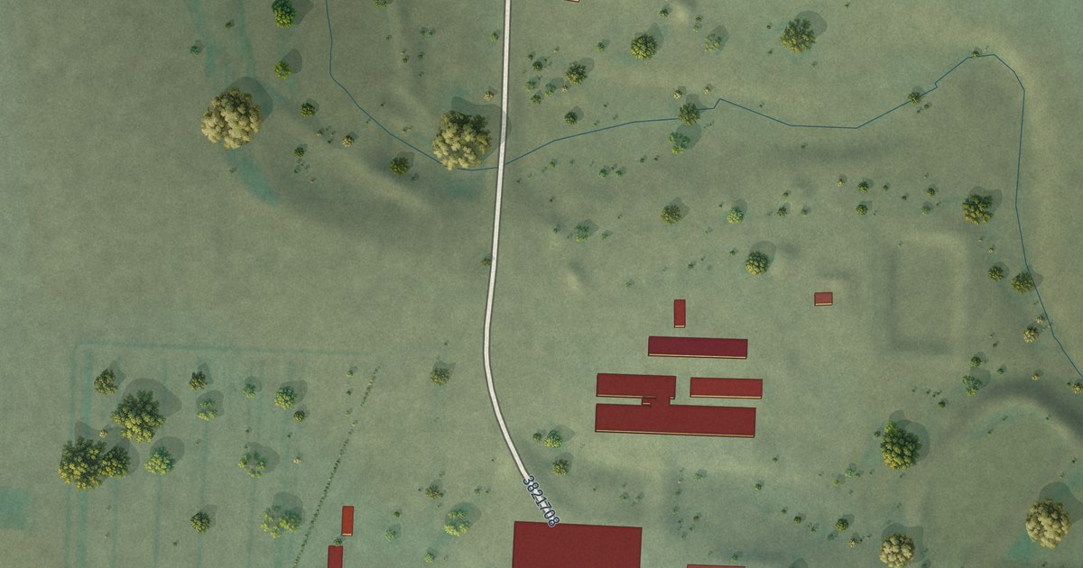
A detailed map of Glendale Colony, Montana, showing every building in its true location, the roads by name, and shaded topographical relief.
Read More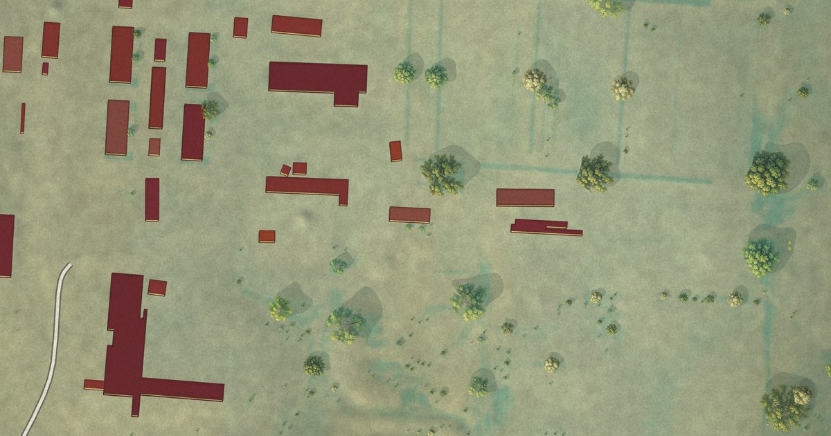
A detailed map of Glacier Colony, Montana, showing every building in its true location, the roads by name, and shaded topographical relief.
Read More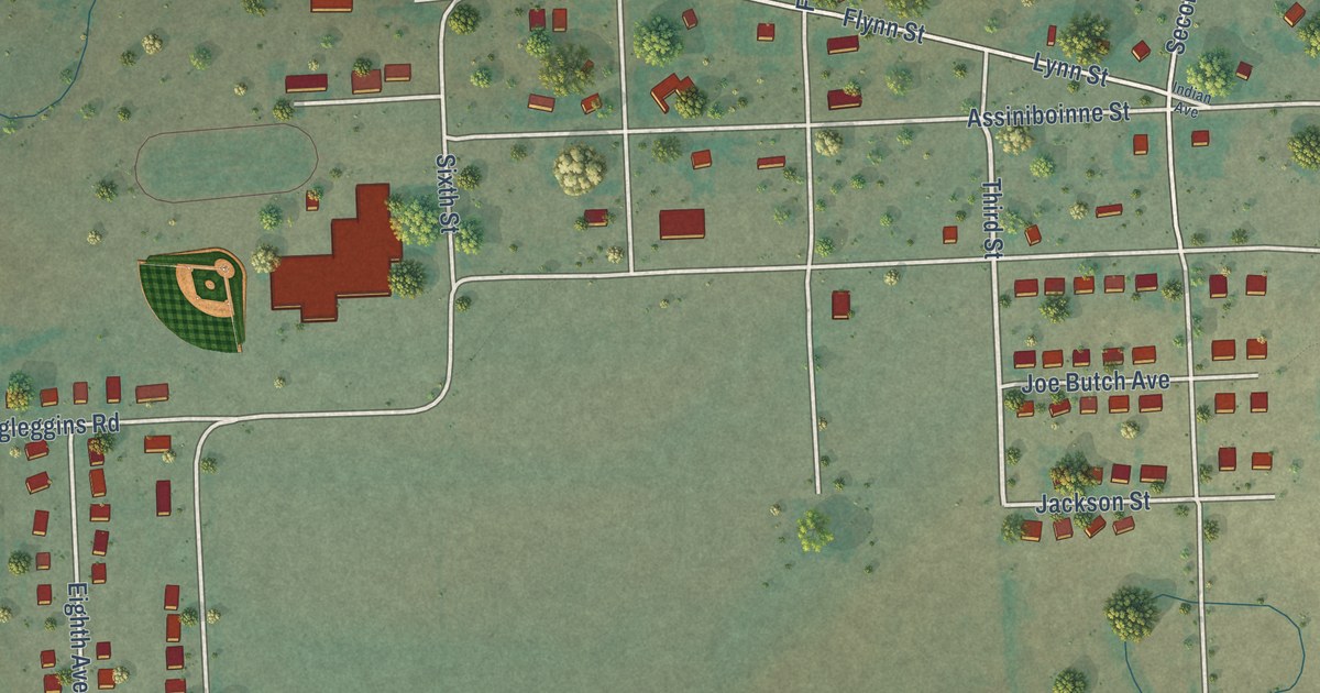
A detailed map of Frazer, Montana, showing every building in its true location, the roads by name, and shaded topographical relief.
Read More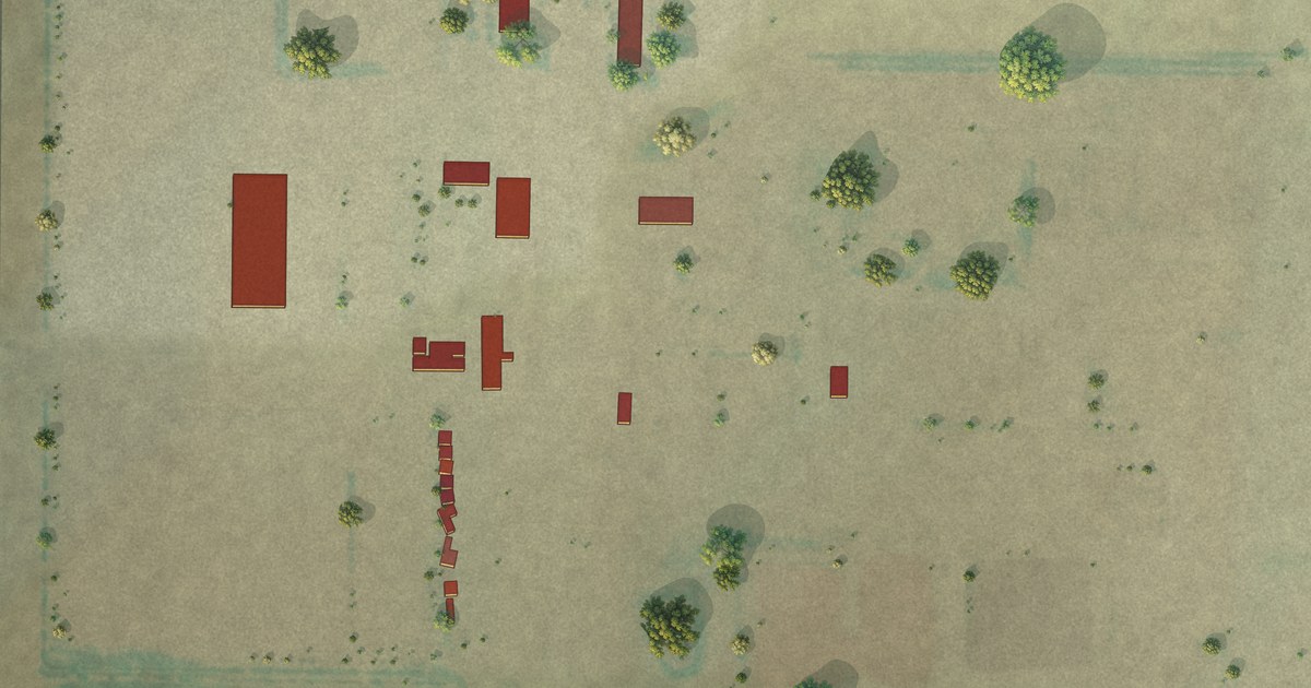
A detailed map of Gildford Colony, Montana, showing every building in its true location, the roads by name, and shaded topographical relief.
Read More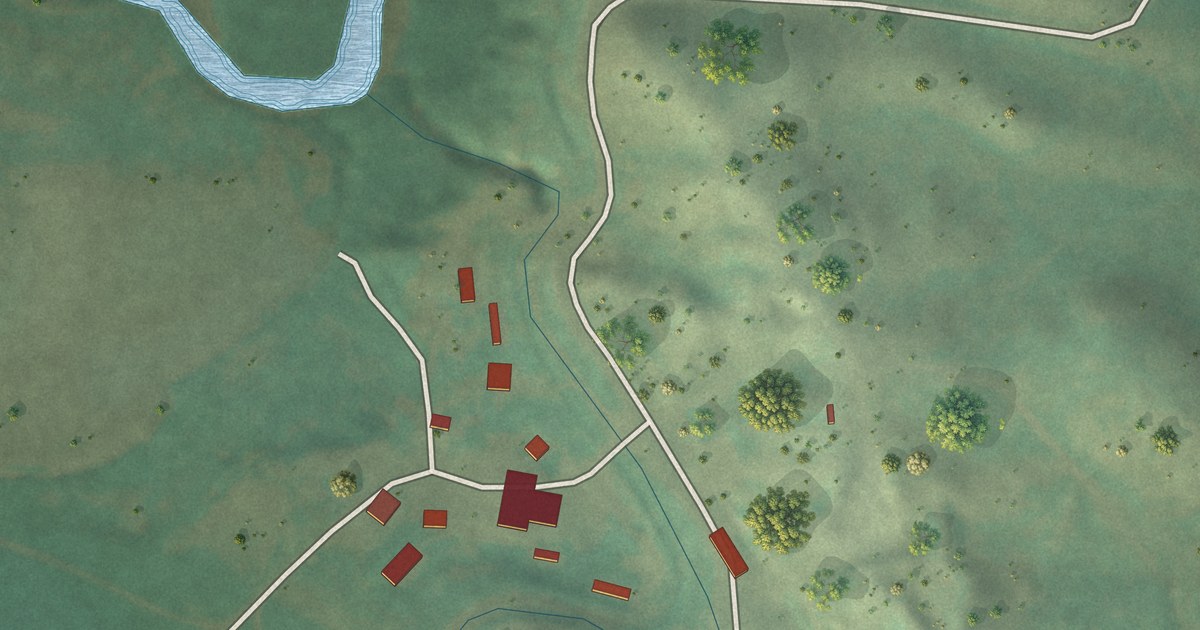
A detailed map of Forty Mile Colony, Montana, showing every building in its true location, the roads by name, and shaded topographical relief.
Read More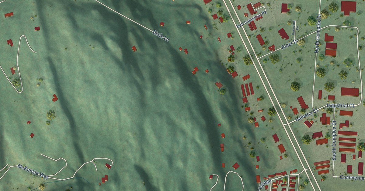
A detailed map of Forest Hill Village, Montana, showing every building in its true location, the roads by name, and shaded topographical relief.
Read More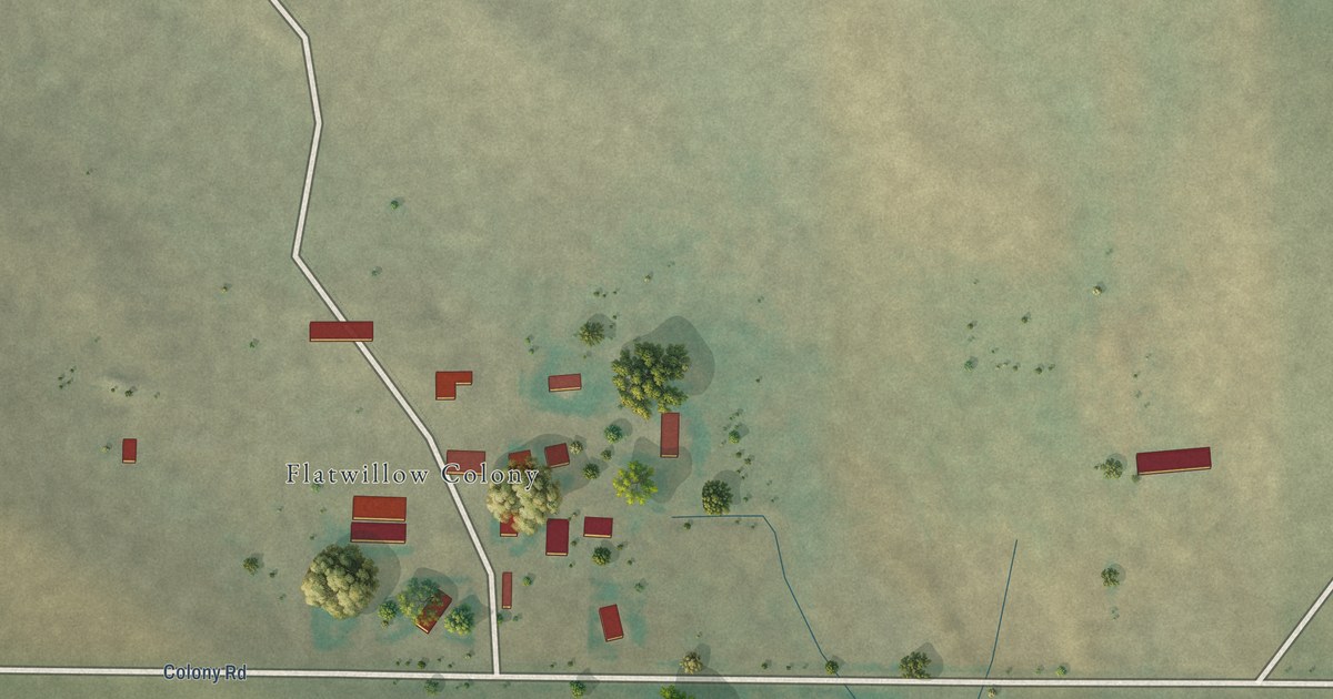
A detailed map of Flat Willow Colony, Montana, showing every building in its true location, the roads by name, and shaded topographical relief.
Read More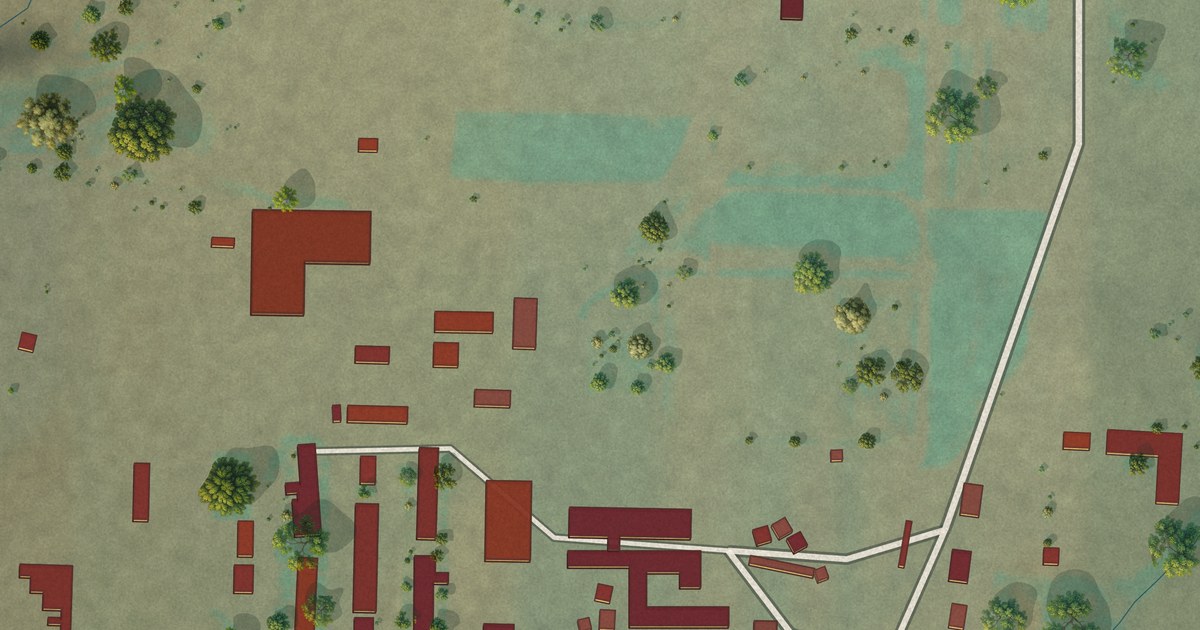
A detailed map of Fair Haven Colony, Montana, showing every building in its true location, the roads by name, and shaded topographical relief.
Read More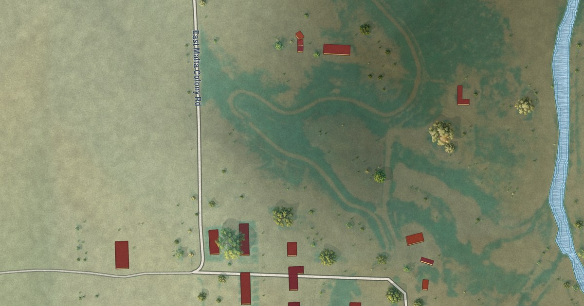
A detailed map of East Malta Colony, Montana, showing every building in its true location, the roads by name, and shaded topographical relief.
Read More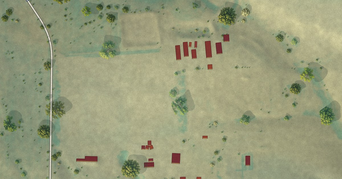
A detailed map of Fords Creek Colony, Montana, showing every building in its true location, the roads by name, and shaded topographical relief.
Read More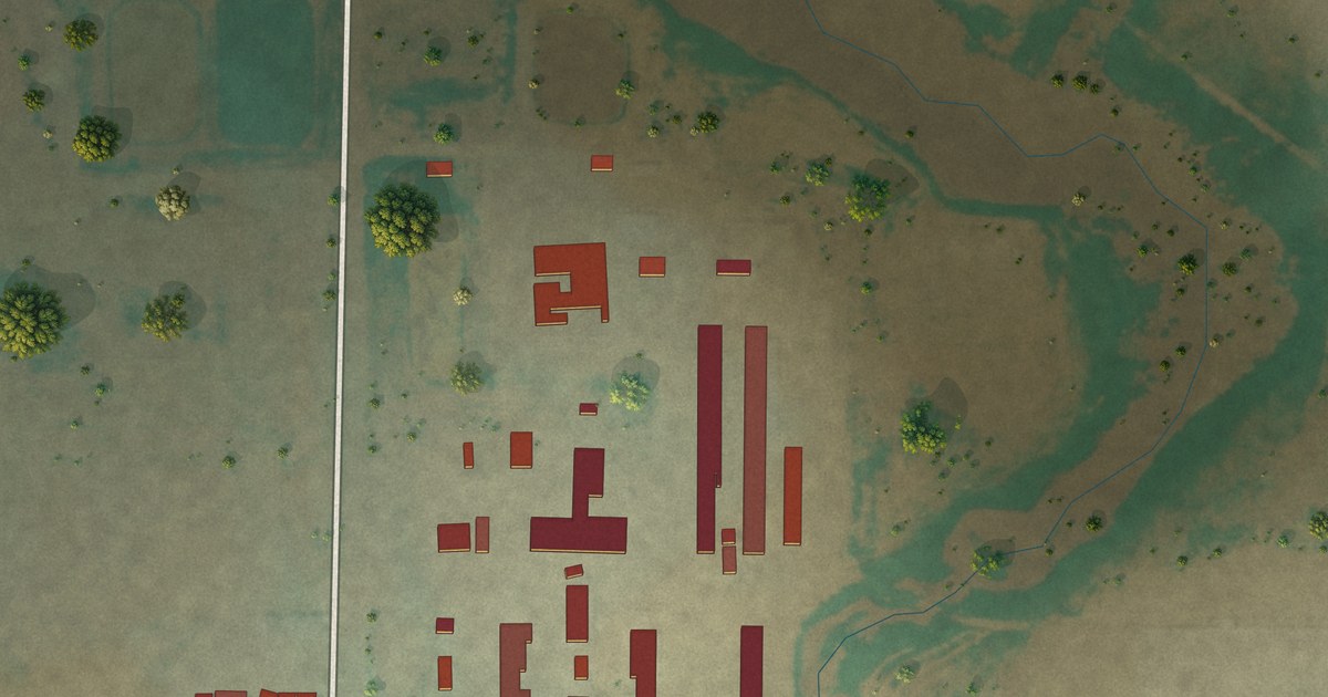
A detailed map of East End Colony, Montana, showing every building in its true location, the roads by name, and shaded topographical relief.
Read More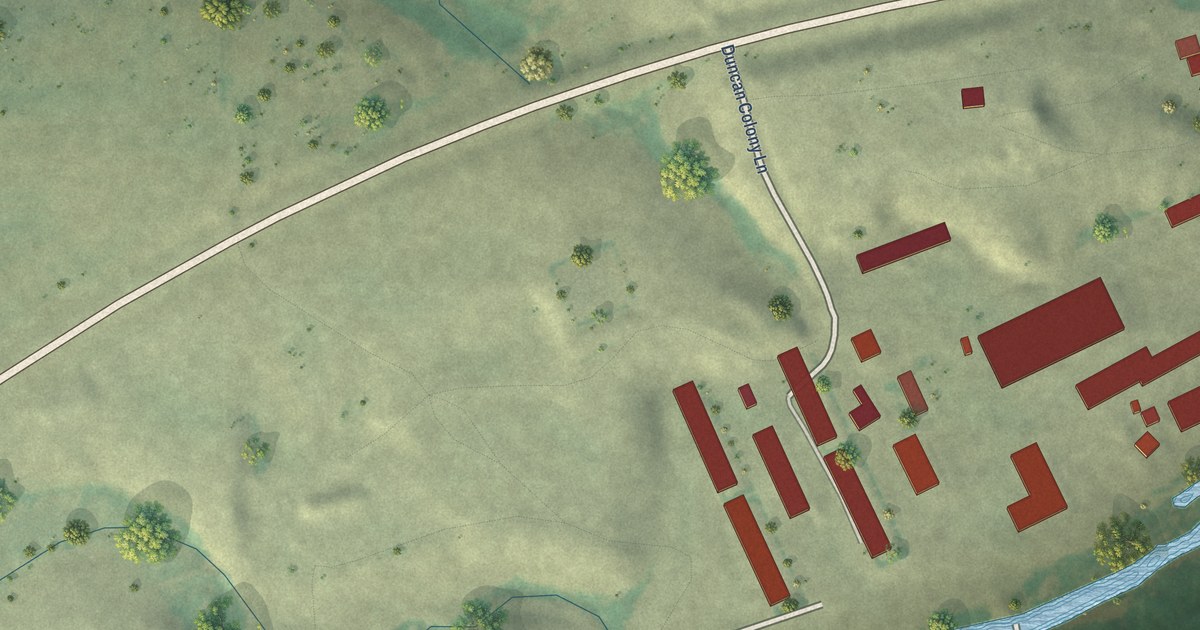
A detailed map of Duncan Ranch Colony, Montana, showing every building in its true location, the roads by name, and shaded topographical relief.
Read More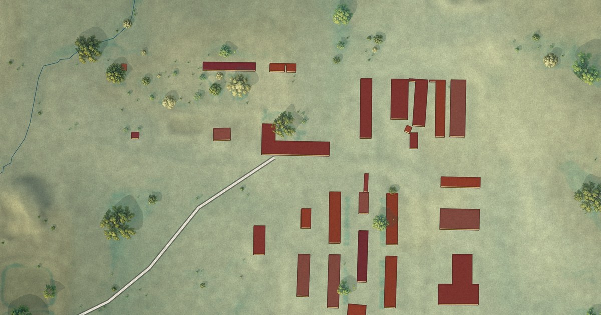
A detailed map of Eagle Creek Colony, Montana, showing every building in its true location, the roads by name, and shaded topographical relief.
Read More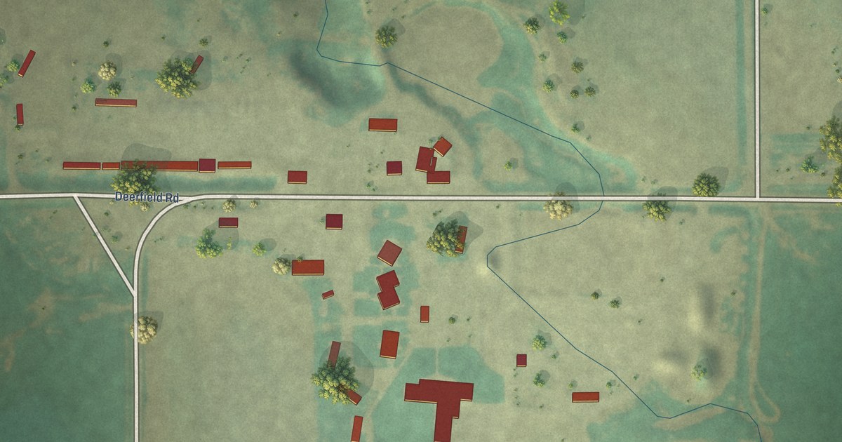
A detailed map of Deerfield Colony, Montana, showing every building in its true location, the roads by name, and shaded topographical relief.
Read More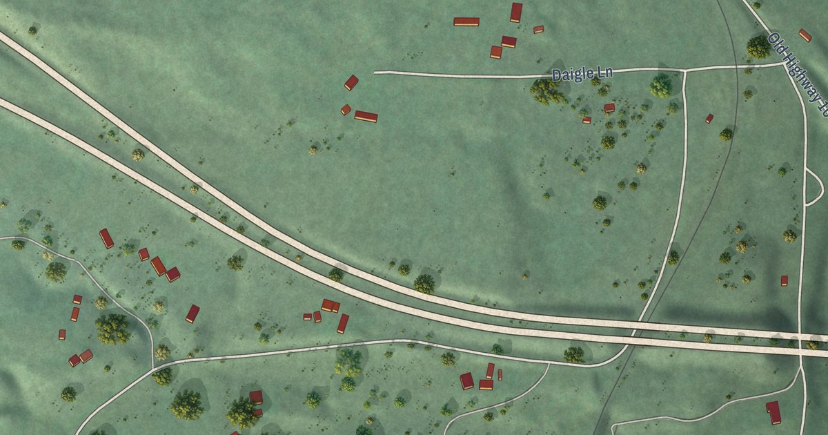
A detailed map of Cyr, Montana, showing every building in its true location, the roads by name, and shaded topographical relief.
Read More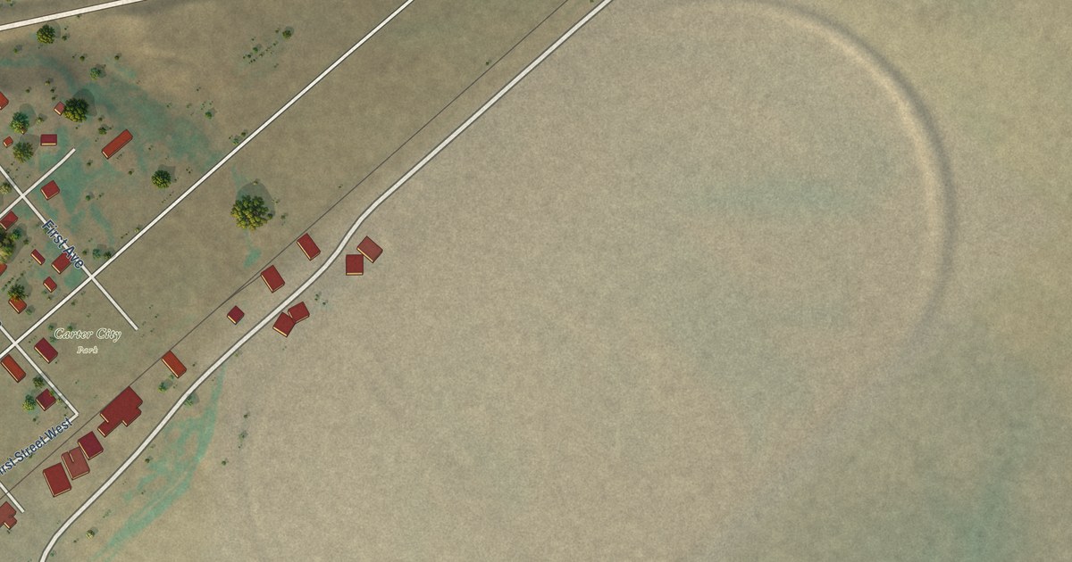
A detailed map of Carter, Montana, showing every building in its true location, the roads by name, and shaded topographical relief.
Read More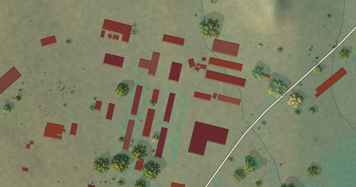
A detailed map of Cascade Colony, Montana, showing every building in its true location, the roads by name, and shaded topographical relief.
Read More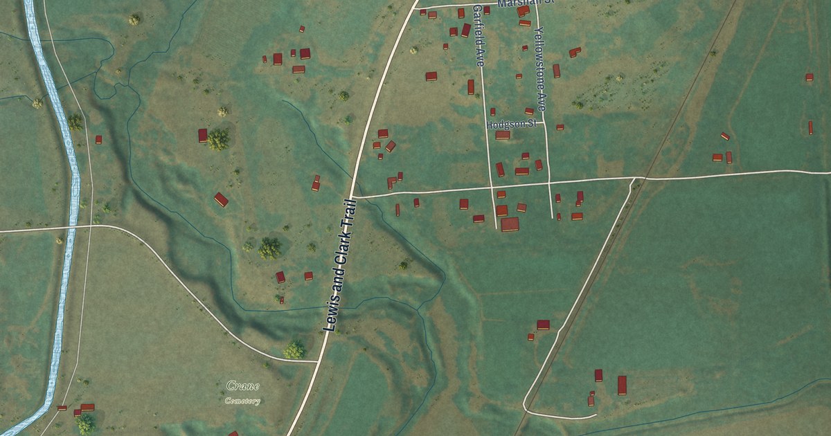
A detailed map of Crane, Montana, showing every building in its true location, the roads by name, and shaded topographical relief.
Read More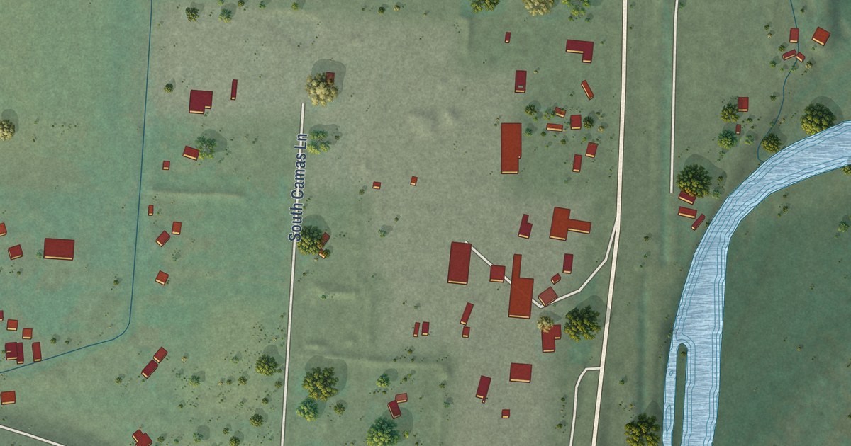
A detailed map of Charlos Heights, Montana, showing every building in its true location, the roads by name, and shaded topographical relief.
Read More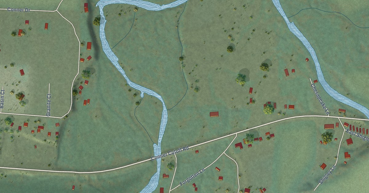
A detailed map of Conner, Montana, showing every building in its true location, the roads by name, and shaded topographical relief.
Read More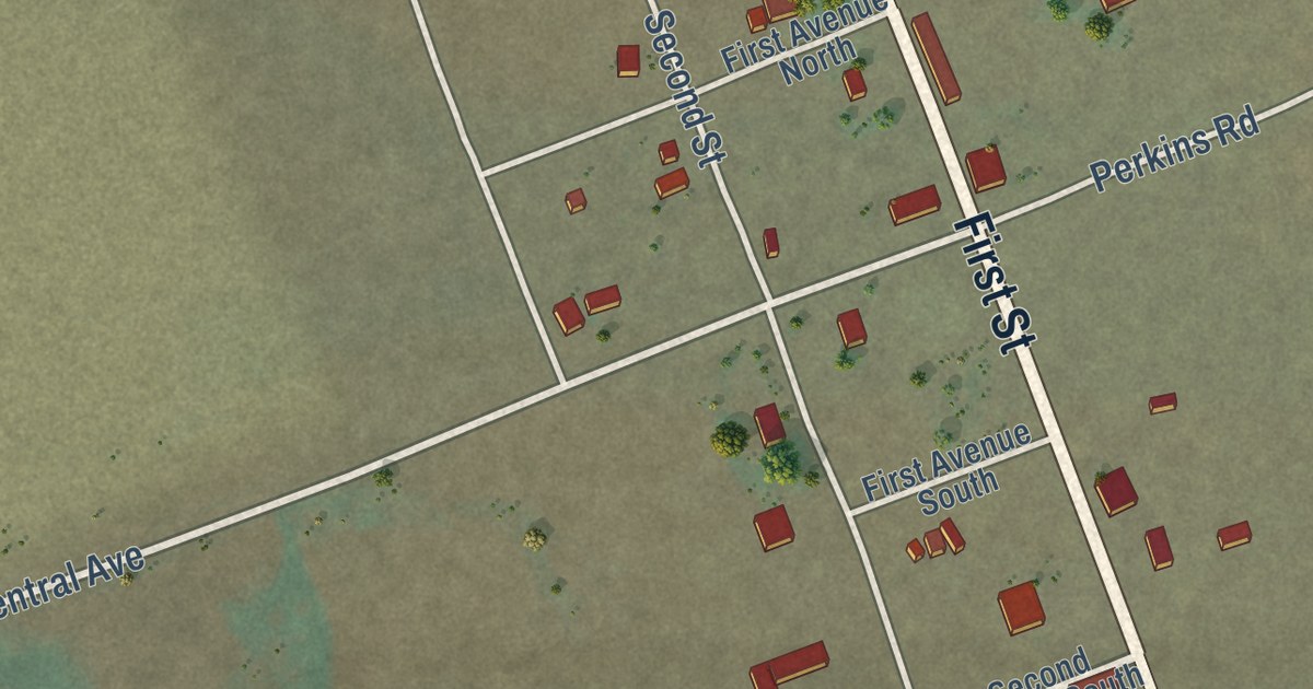
A detailed map of Bynum, Montana, showing every building in its true location, the roads by name, and shaded topographical relief.
Read More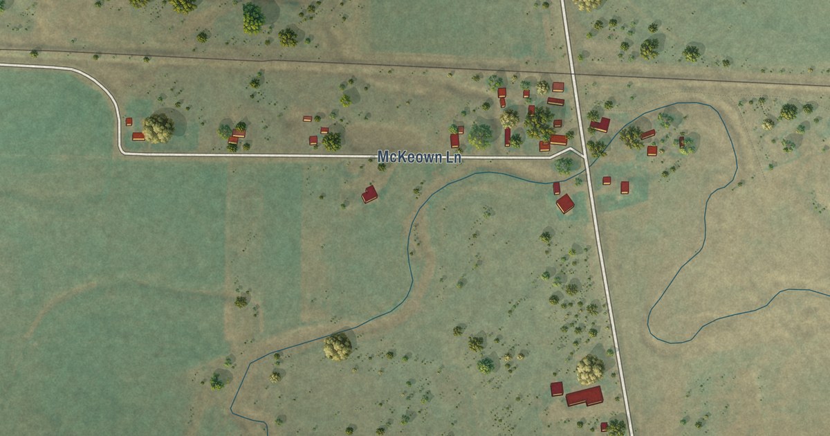
A detailed map of Cardwell, Montana, showing every building in its true location, the roads by name, and shaded topographical relief.
Read More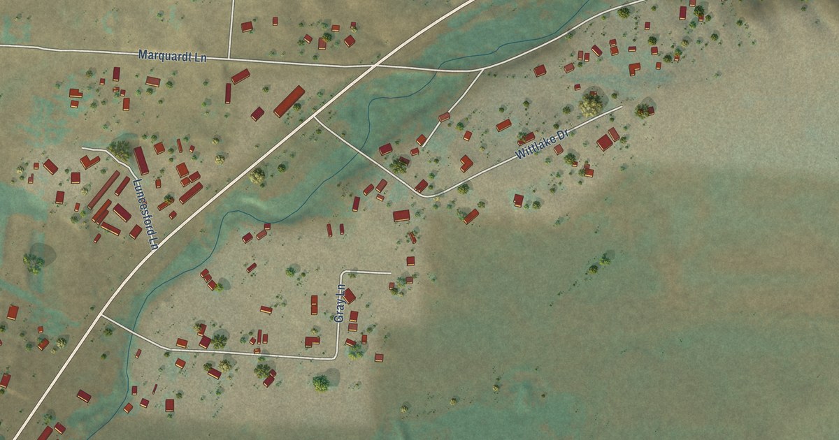
A detailed map of Batavia, Montana, showing every building in its true location, the roads by name, and shaded topographical relief.
Read More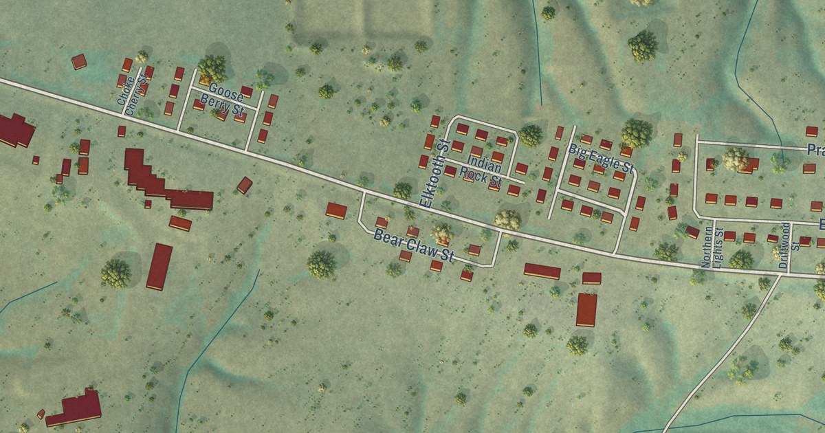
A detailed map of Boneau, Montana, showing every building in its true location, the roads by name, and shaded topographical relief.
Read More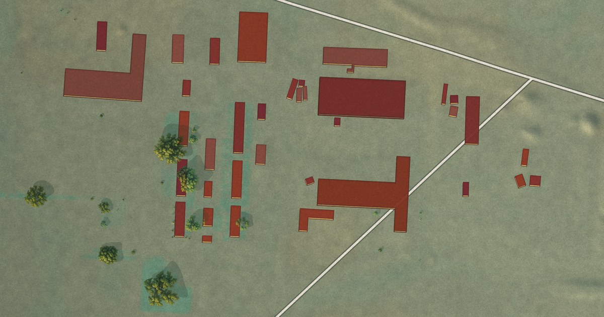
A detailed map of Big Sky Colony, Montana, showing every building in its true location, the roads by name, and shaded topographical relief.
Read More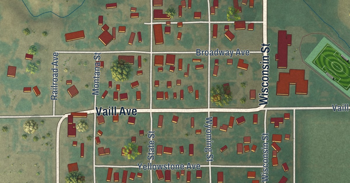
A detailed map of Belfry, Montana, showing every building in its true location, the roads by name, and shaded topographical relief.
Read More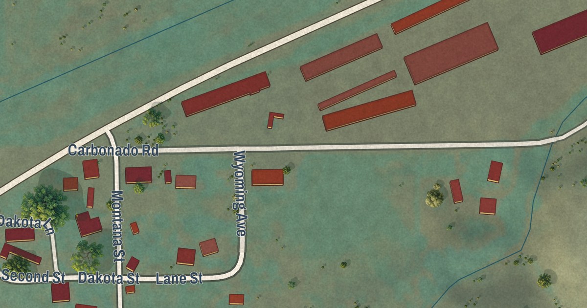
A detailed map of Boyd, Montana, showing every building in its true location, the roads by name, and shaded topographical relief.
Read More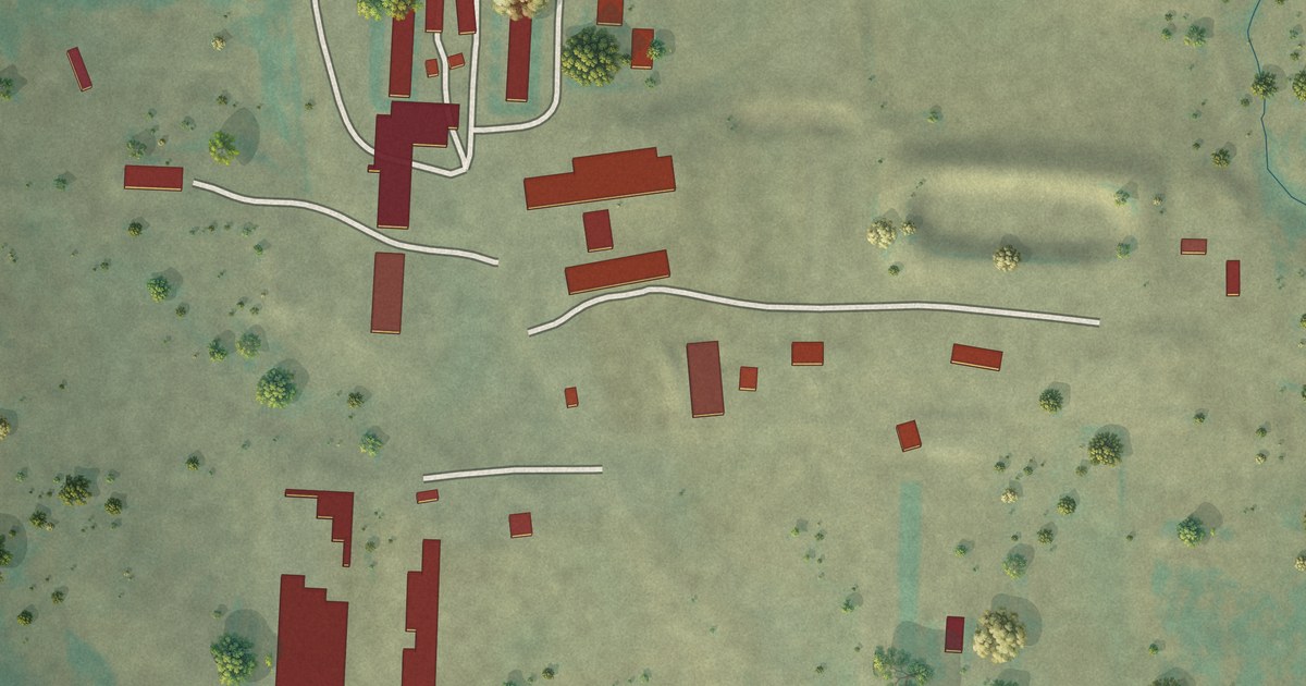
A detailed map of Birch Creek Colony, Montana, showing every building in its true location, the roads by name, and shaded topographical relief.
Read More
A detailed map of Big Stone Colony, Montana, showing every building in its true location, the roads by name, and shaded topographical relief.
Read More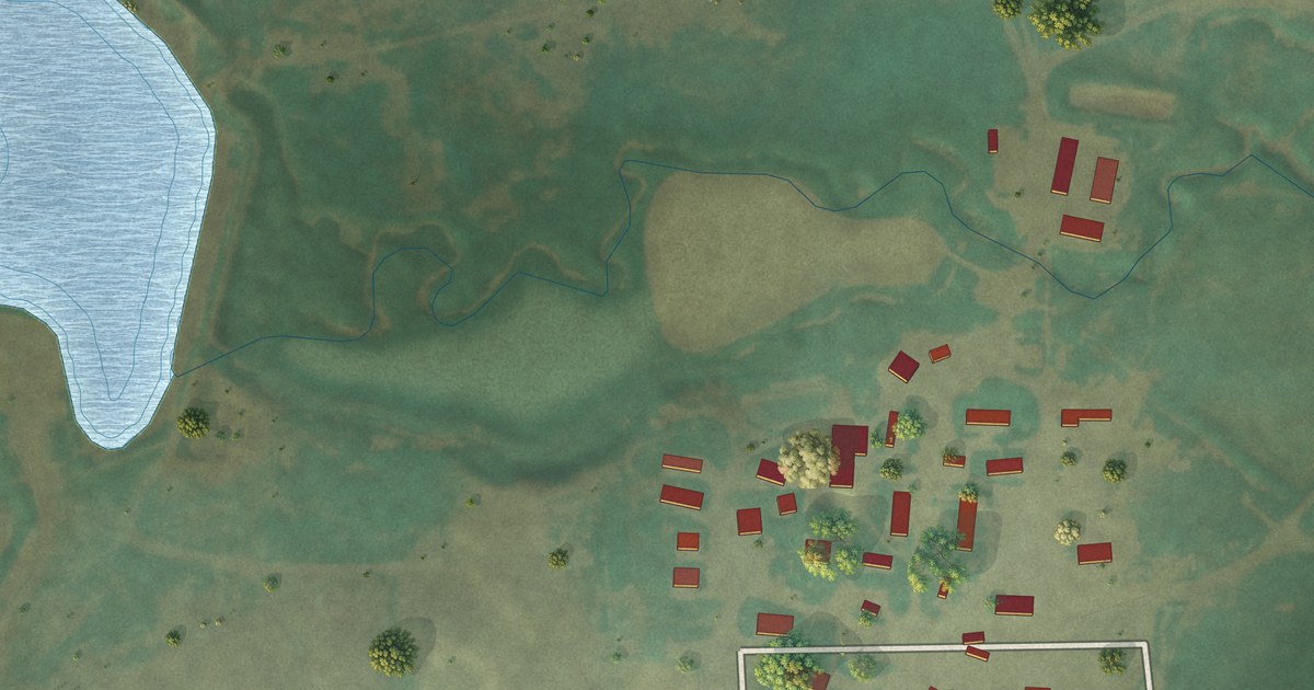
A detailed map of Ayers Ranch Colony, Montana, showing every building in its true location, the roads by name, and shaded topographical relief.
Read More















